![]()

Remember: Press F11 for a full
screen view of this page.
|
|
|
Remember: Press F11 for a full
screen view of this page. |
| " Causey Pike with Jen " Date & start time: Easter Monday 21st April 2014, 2.30 pm start Location of Start : Stoneycroft, Newlands Valley, Cumbria, Uk ( NY 143 211 ) Places visited : Stoneycroft, Rowling End, Causey Pike, Outerside, Stoneycroft Gill track. Walk details : 4.5 mls, 1950 ft of ascent, 2 hours 30 mins. Highest point : Causey Pike, 2,089ft - 637m Walked with : Jenna and myself only (Ann's at home with the dogs). Weather : Lovely afternoon sunshine. |
" Causey Pike with Jen " at EveryTrail [ Alter the settings to zoom or change the Map, use Everytrail to download the Gps route ] |
|
Jenna is with us for the holiday weekend and though busy with her college work, she still wanted to get out and climb something high. Travelling light found us on the top of Causey Pike in an hour and a bit from the car which we had parked at Stoneycroft, the other side of Whinlatter Pass.
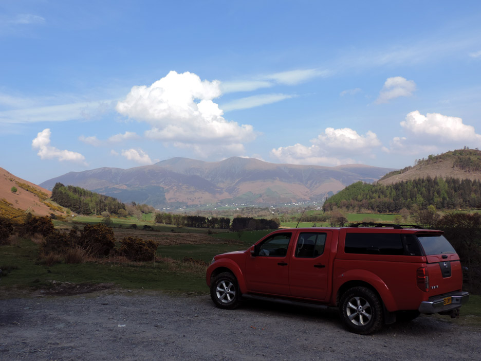
No . . . we haven't changed the car, I just thought it made a good foreground for the shot !
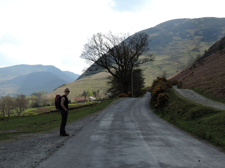
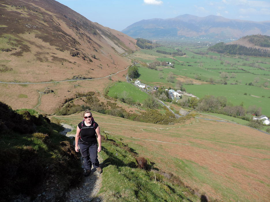
We parked at Stoneycroft Gill, where the old mine track comes down to meet the road (hopefully our return track). Our route started by heading up Rowling End ahead, so first a short tarmac section before the climb.
Over the bridge and starting the climb. Distant Skiddaw, middle distance Swinside hill, with the pub of the same name next to the trees that cover the summit.
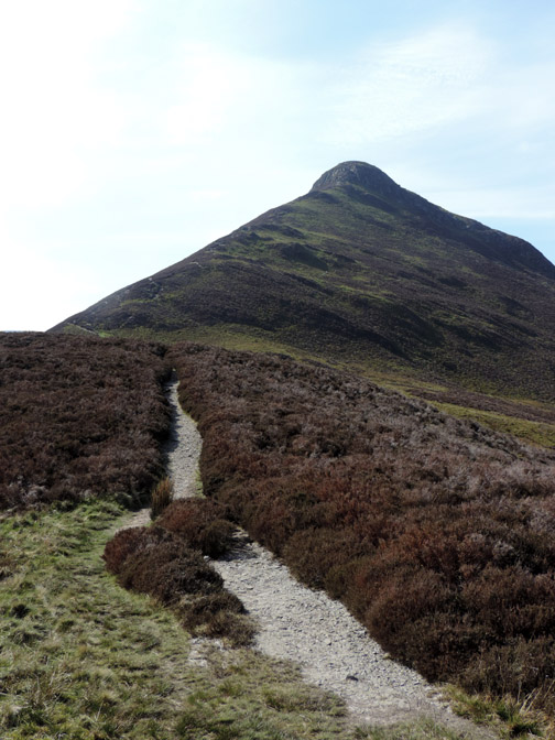
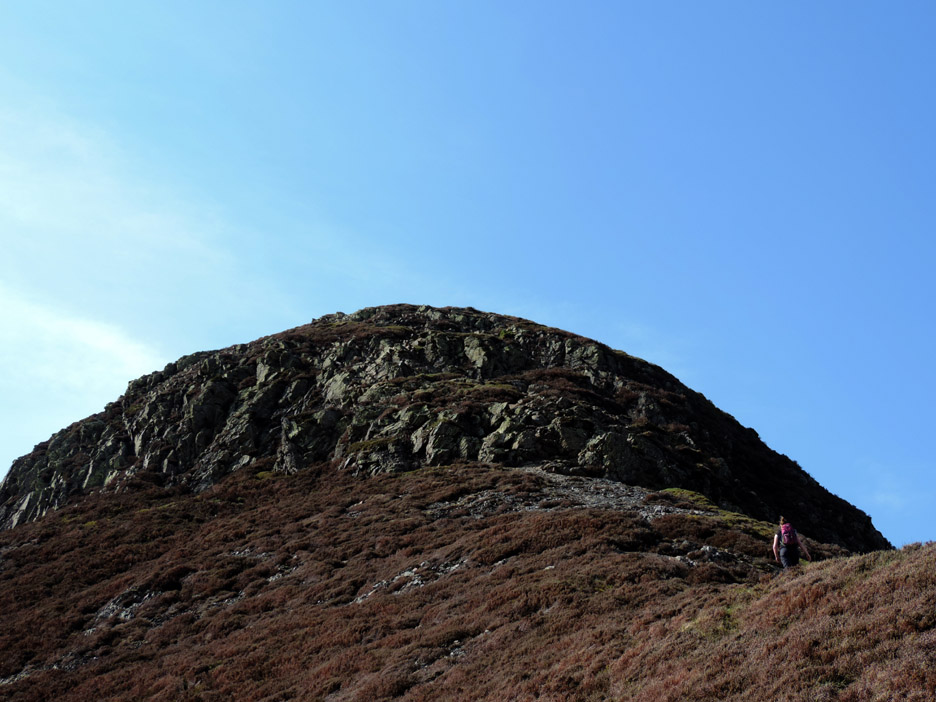
Our "object of desire" . . . Causey Pike summit. The diagonal path takes the easy line up from here but it's a steady pull all the way.
We chose the big climb to start and then an easy ridge walk to get to the base of the final steep climb to the summit.
A simple scramble up the end.
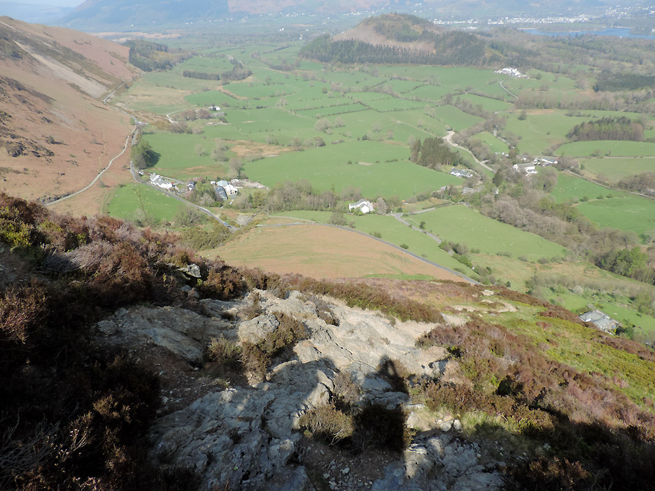
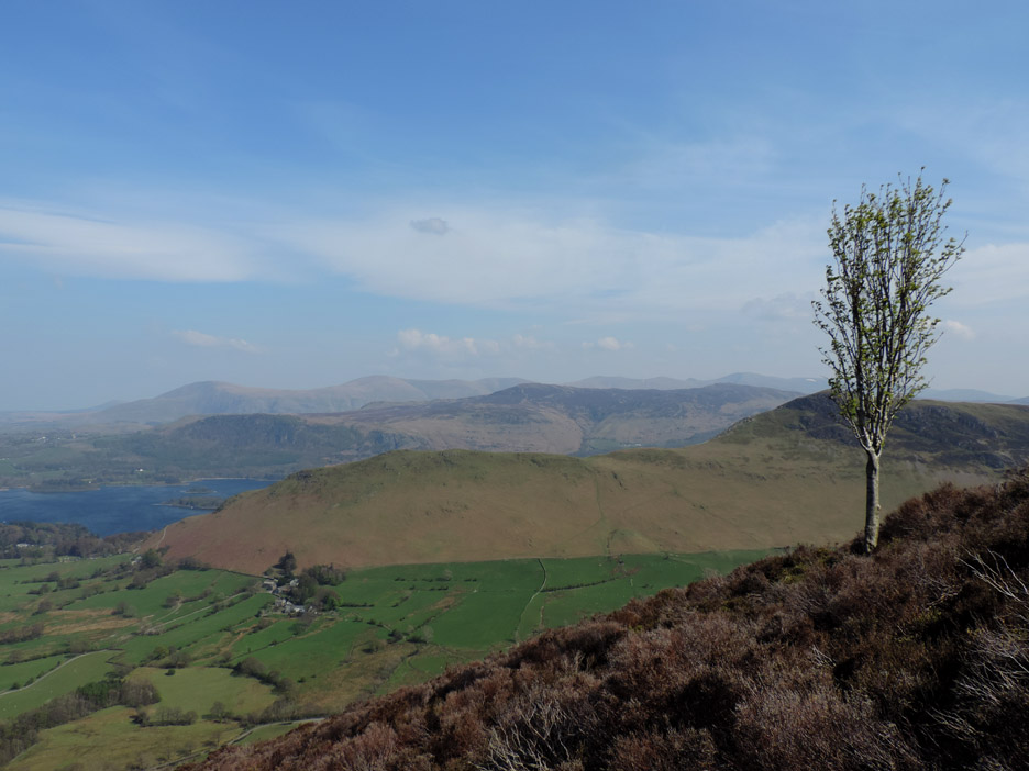
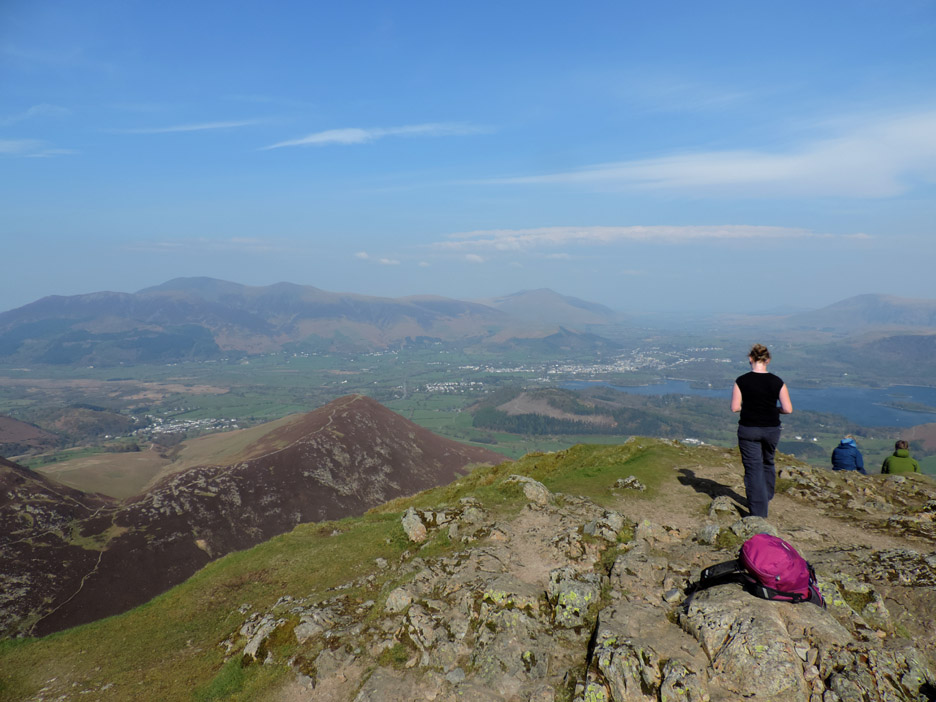
Rising above the Swinside Inn. The pub is well below us now as we start to get a view of Keswick and Derwent Water.
There's not a bad view straight across too. Click here or on the photo above for a larger Loweswatercam annotated panorama of Catbells.
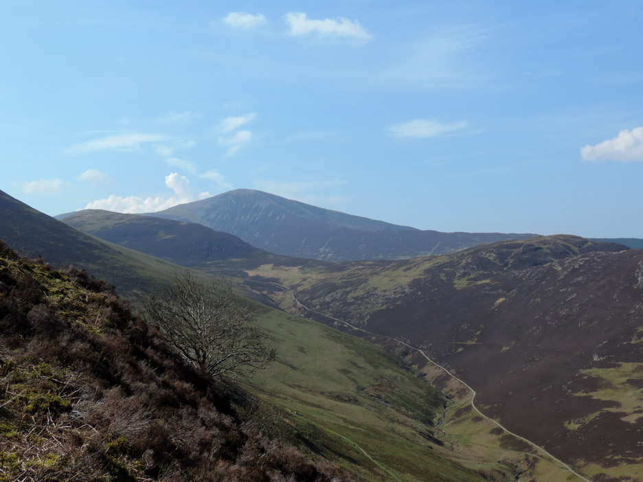
Grisedale Pike . . . the last big climb Jenna did in the Lakes last year.
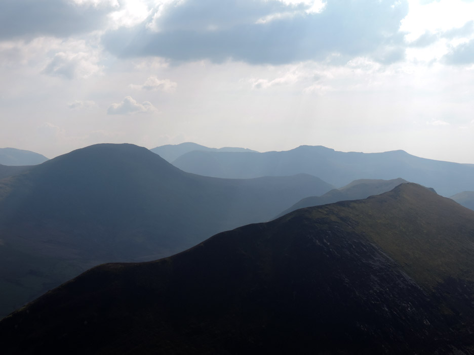
Causey Pike has a few trees growing on its open fellside but none higher or more exposed than this one. There is a haze about today but we can still see across to Helvellyn quite well.
The first big climb complete . . . time for a quick sit down before we proceed.
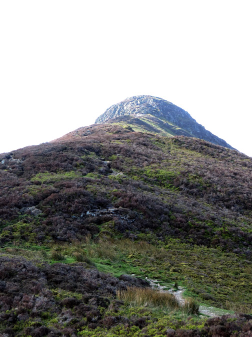
The last hundred feet are a bit of a scramble . . . but simple and exhilarating.
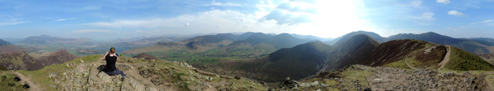
. . . and what a treat . . . a complete 360 degree view (you could make it a 720 degree one if you turn round twice) Click here or on the photo above for a single Loweswatercam 360 degree annotated panorama
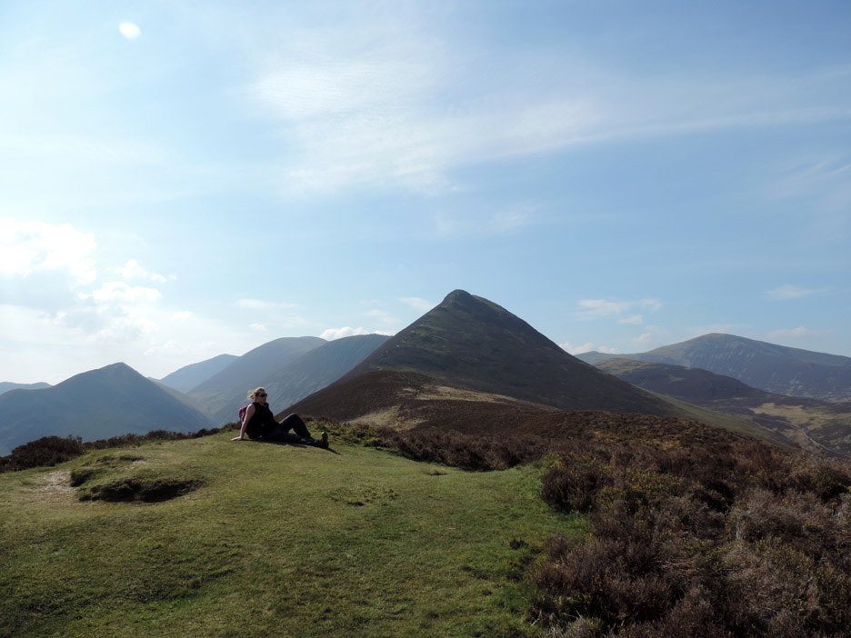
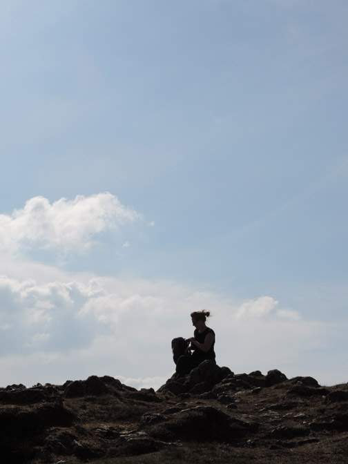
Jen checks out the view (and her phone by the look of it). There was a strong easterly breeze on the edge but set back slightly at the summit it was remarkably calm, and beautifully warm in the bank holiday sunshine.
Looking west across the many shades of the fells.
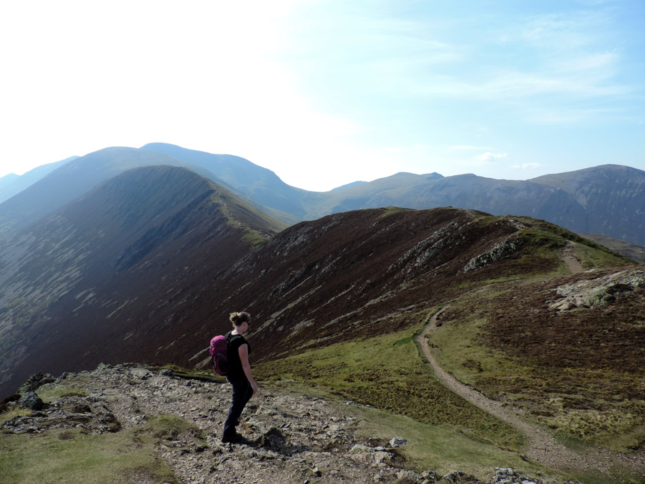
Time to be heading off . . . we take the path towards Scar Crags.
As we wanted a shorter walk, we decided not to include the Scar Crags summit, and so cut down towards High Moss and Outerside.
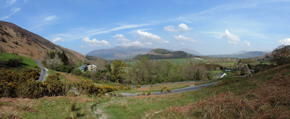
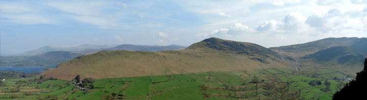
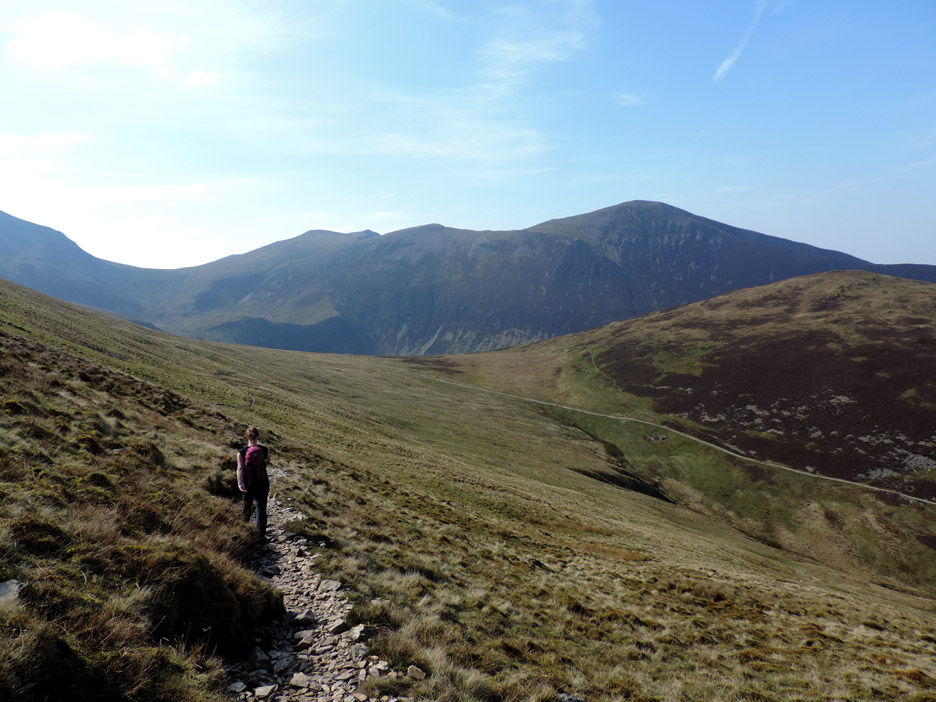
As we cross the head of Stoneycroft Valley we can enjoy the view down to the heather covered Barrow fell. Several years ago there was a big fire on the fell and the right hand side was burnt down to bare earth. Over the years it has recovered and now shows no scars of that major heath land fire.
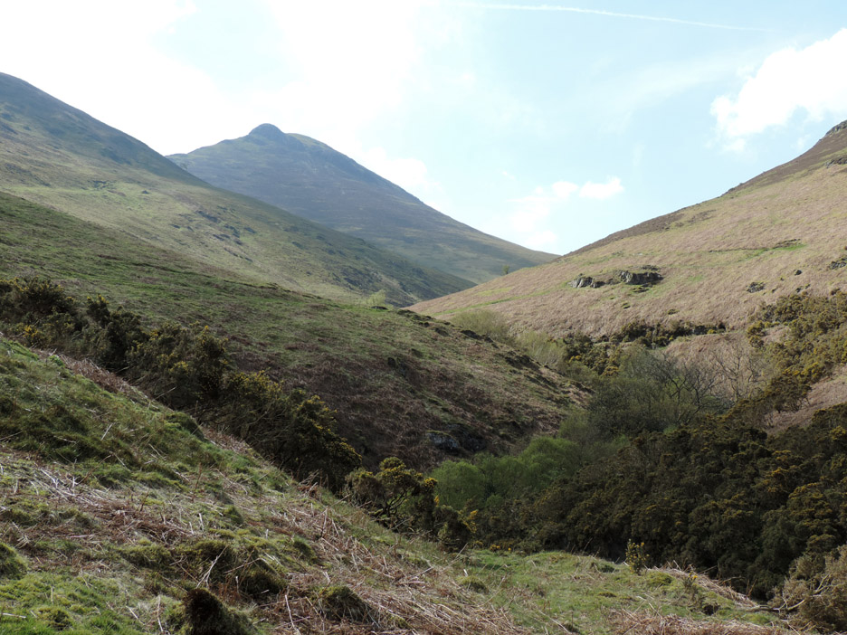
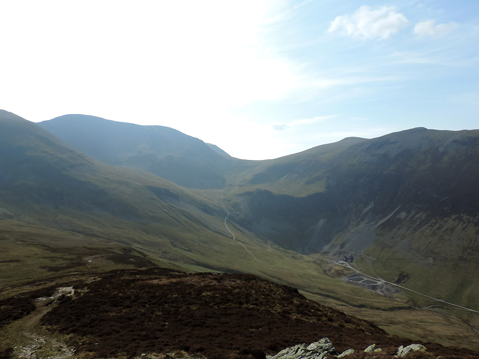
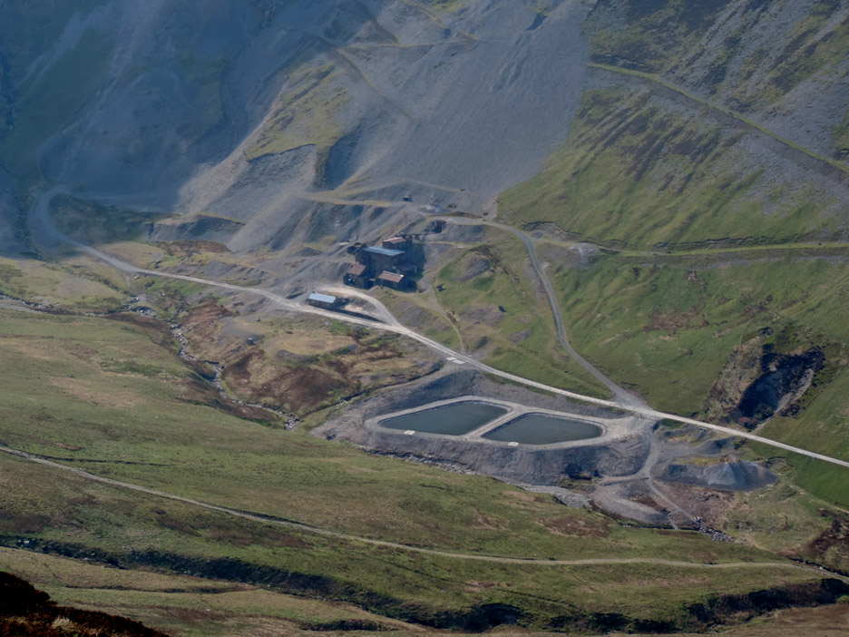
A brief climb now to catch a second summit . . . that of Outerside. We're looking down on the Coledale Valley with the old Force Crag Mine nestling on the valley floor. The mine eventually closed in 1991, thus making it the last working mineral mine in the Lake District.
In the last year the Bassenthwaite Project has funded the building of two separation tanks to try and remove heavy metal pollutants from the mine drainage water before it flows into the river. [ If you fancy more information on the mine check out my walk page from a visit back in 2007. ]
From the top of Outerside we look across at Causey Pike. From this side the signature undulations of the summit ridge are almost hidden.
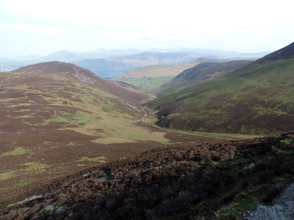
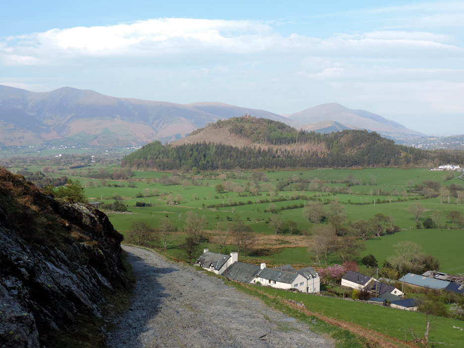
Now to walk down and join the Stoneycroft path.
The old mine track follows the river down.
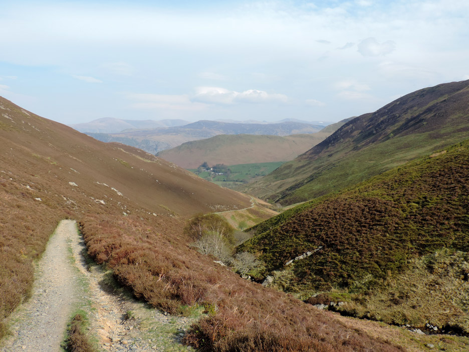
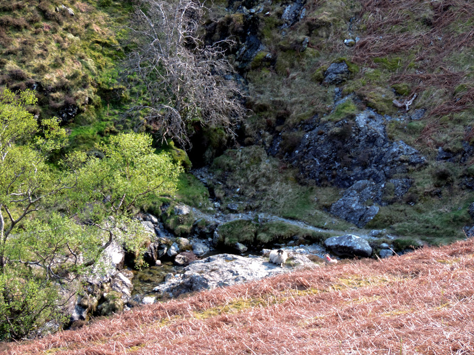
Along the way there are traces of old workings and even this open tunnel.
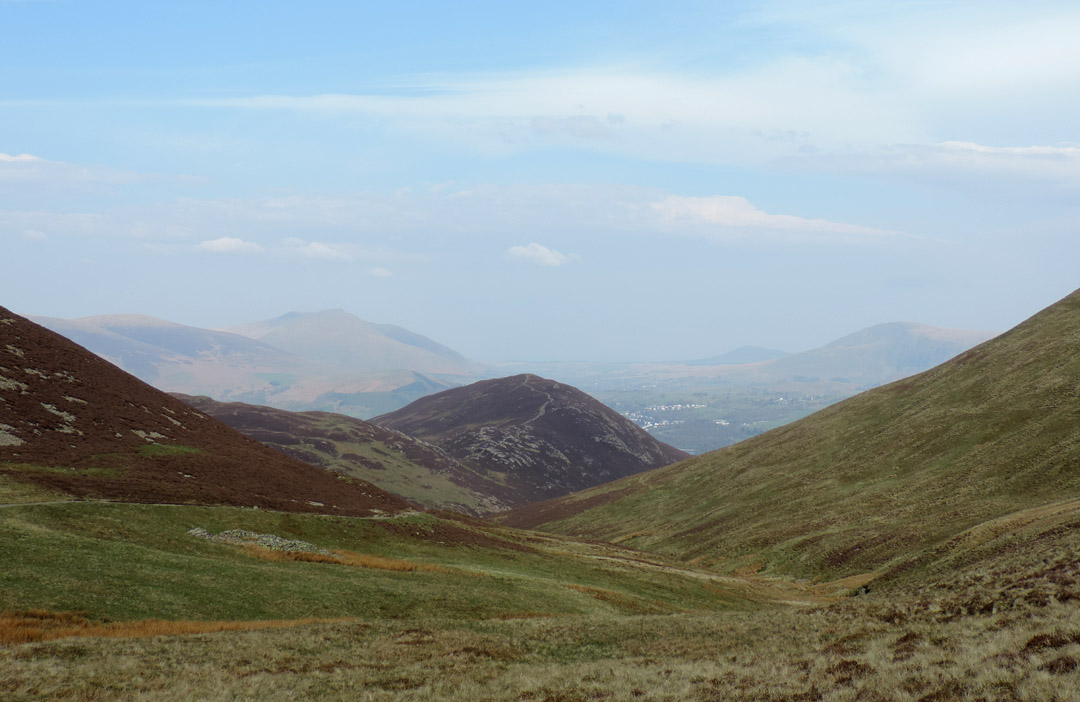
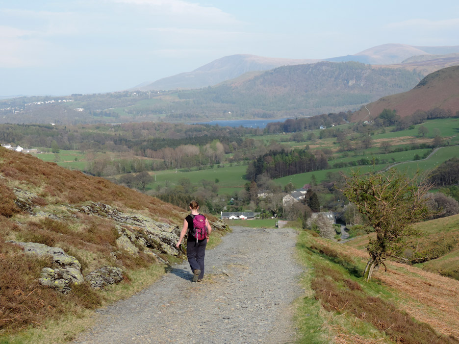
Nearly there now as the farm and houses of Stoneycroft get ever nearer.
One last corner and we're there . . . a great walk and time to get back to Ann and the dogs. - - - o o o - - -
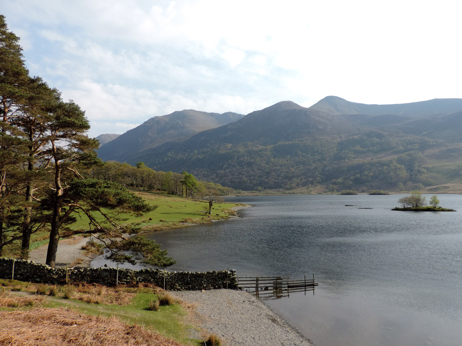
Thought you might enjoy the view as we drove home. Jen requested a trip over Newlands rather than Whinlatter and this was the view of Red Pike as we passed alongside Crummock Water. - - - o o o - - - |
Technical note: Pictures taken with my Nikon P520 digital camera. Resized in Photoshop, and built up on a Dreamweaver web builder. This site best viewed with . . . a few hours to spare from college and lesson preparation work. Go to Top . . . © RmH . . . Email me here Previous walk - 16th April 2014 - Dylan's First Walks. A previous time up here - 22nd November 2005 Up and Away - Temperature inversion on Causey Pike Roll up, Roll up, Try your Luck - 22nd April 2014 - Loweswatercam Counter Competition Next walk - 26th April 2014 - Loweswater Bothy with all four Dogs
|