![]()
Remember: Press F11 for a full
screen view of this page.
Web Counter when published 1 897 060
|
|
|
|
Remember: Press F11 for a full
screen view of this page. |
Web Counter when published 1 897 060 |
|
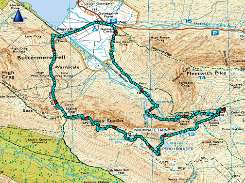
" Haystacks and a Dip in The Lake " Date & start time: 29th / 30th May 2021. ( A weekend with Rob and Jude.) Location of Start (1) : Gatesgarth Farm, Buttermere, Cumbria, Uk. ( NY 195 150 ) Walk details (1) : 6.25 mls, 2000 ft of ascent, 5 hours. (2) 6 mls, 1000ft of ascent. Places visited (1) : Warnscale Bottom, Dubbs, Black Beck Tarn, Haystacks & return. Highest point : Haystacks, 1,958ft - 597m. Location of Start (2) : By the red phone box, Loweswater, Cumbria, Uk. ( NY 143 211 ) Places visited (2) : Low Ling Crag, Scale Force and return via Mosedale. Walked with : Rob and Jude plus the dogs, Dylan and Dougal. Weather : Warm but very hazy on Saturday, clear and bright on Sunday. |
© Crown copyright. All rights reserved. Licence number PU 100034184. |
|
Rob and Jude were here for the weekend and we have the opportunity to visit a fell of their choice. The route they left to me, so our walk up Haystacks was to be via Dubs, taking in the two mountain bothies along the way. Next day the Sunday weather just cried out for a swim . . . a swim which which turned into another lovely circular walk.
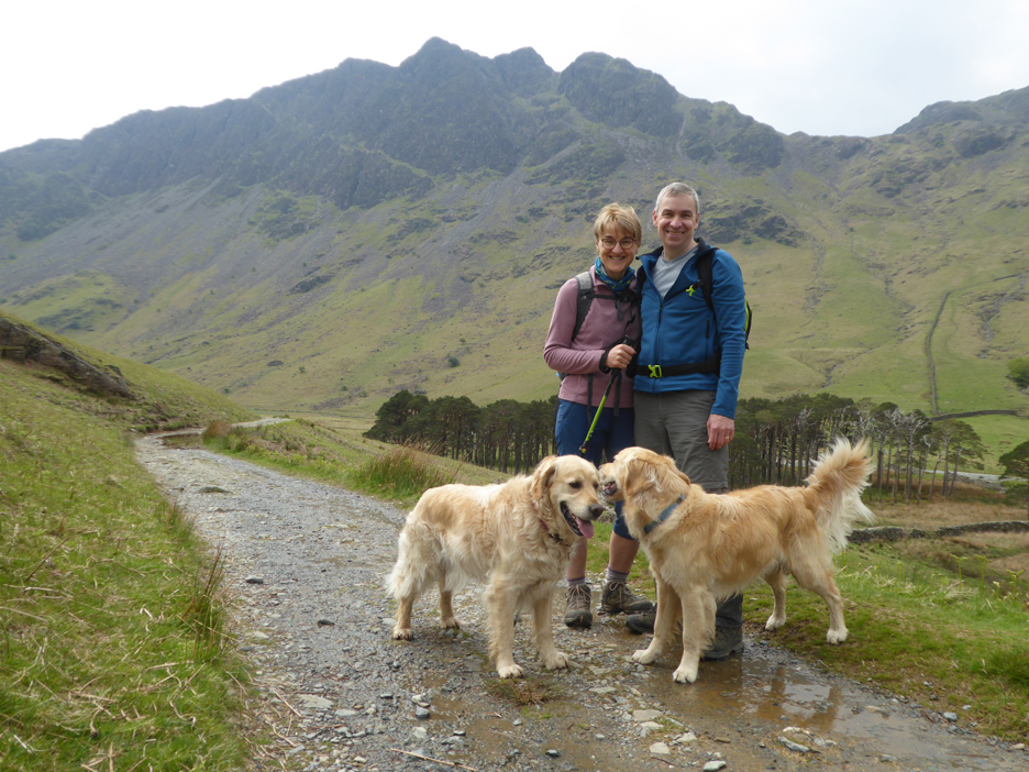
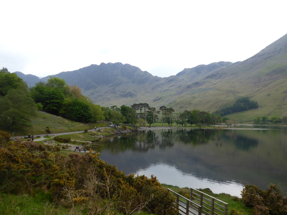
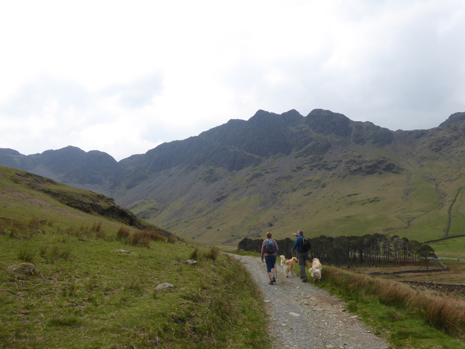
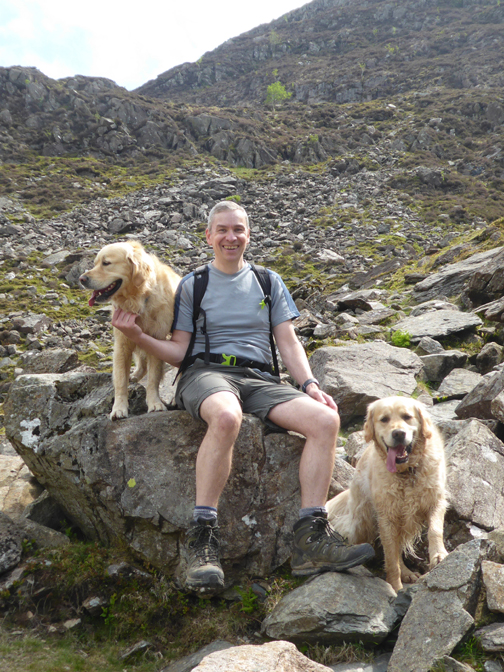
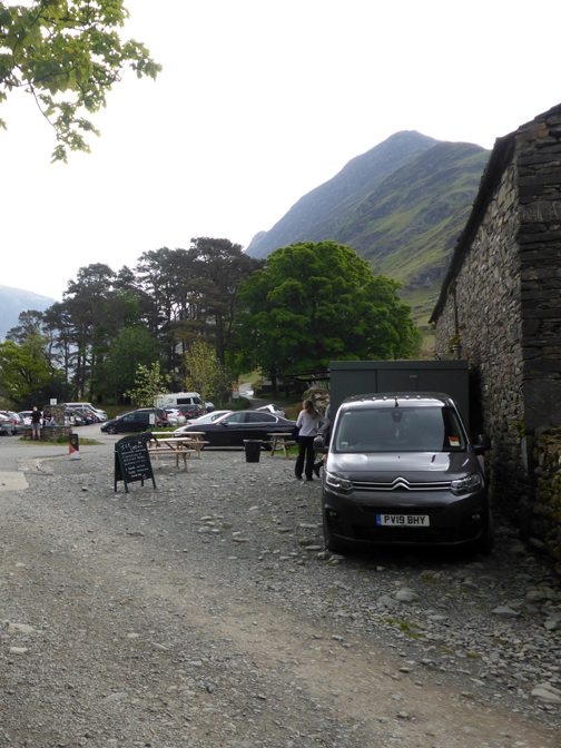
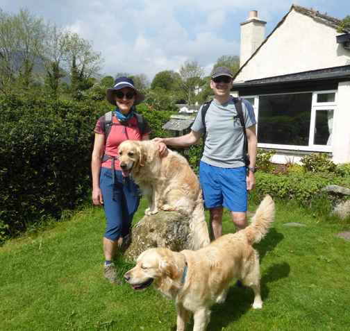
Jude and Rob, friends from Lancashire and walking companions for the weekend. - - - o o o - - - Saturday and we drive to Gatesgarth to start the walk. These are the Buttermere Pines . . . can't pass without taking the photo !
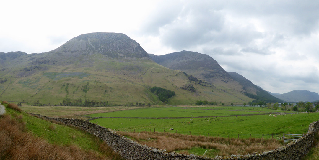
As you can see the weather is fine and dry but a bit hazy today, which may spoil the long distance views.
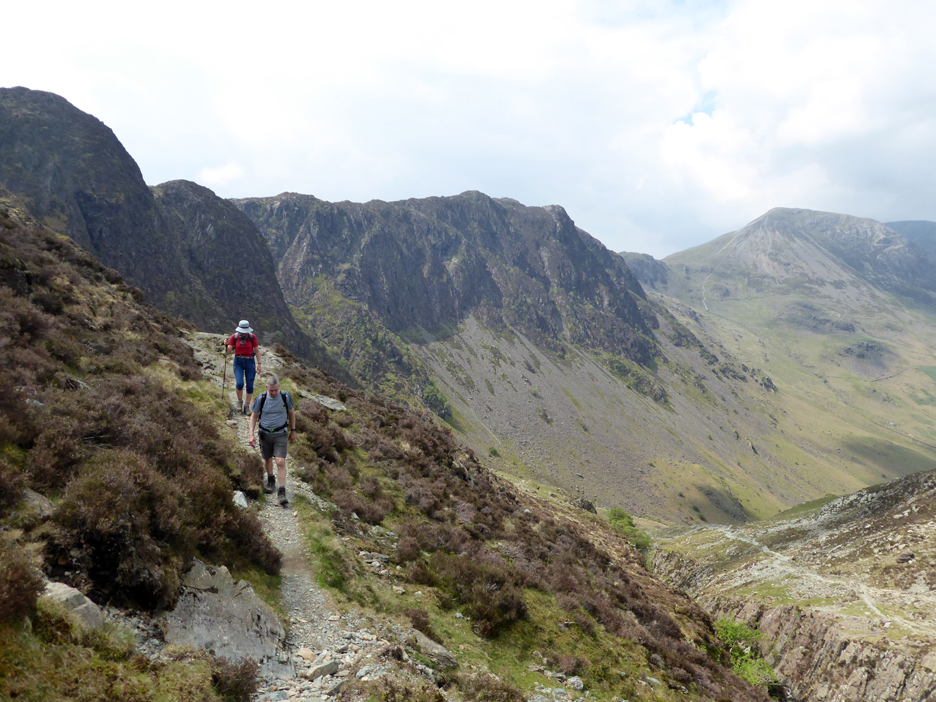
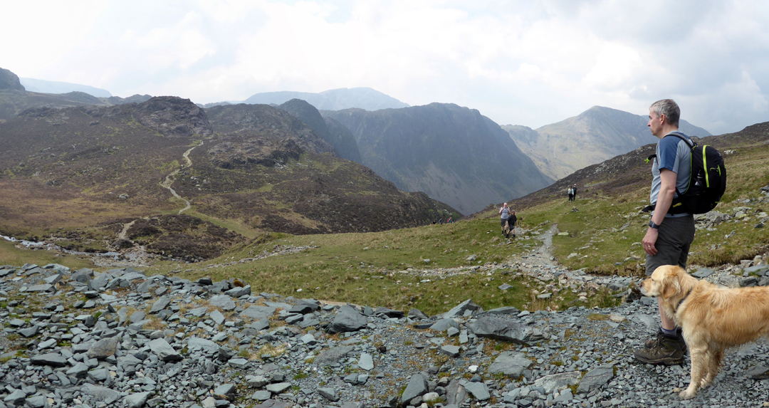
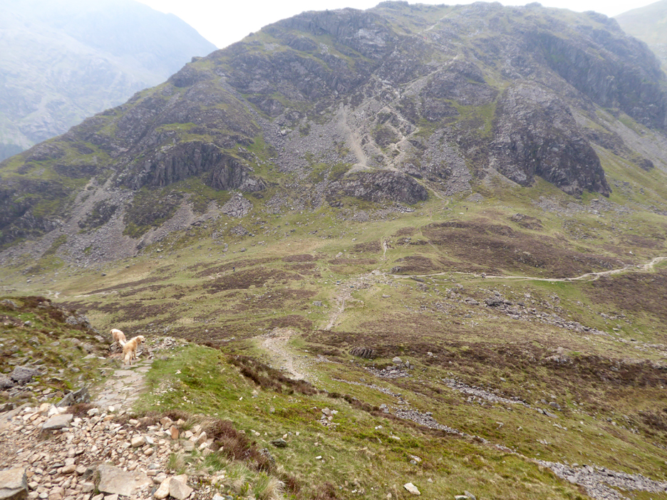
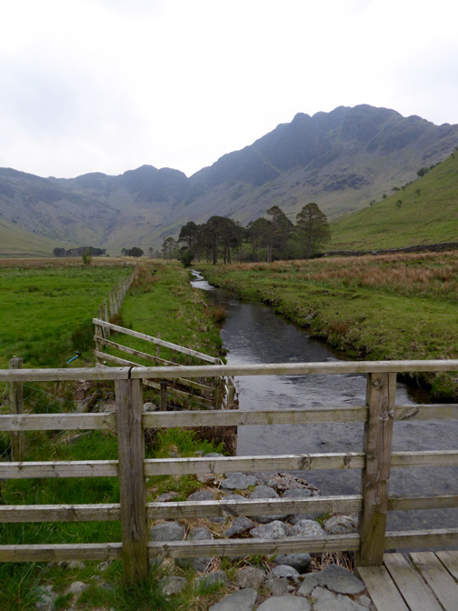
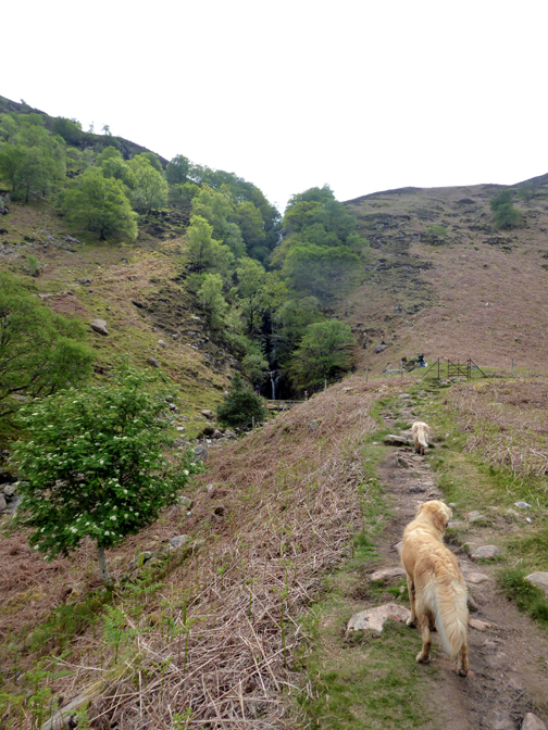
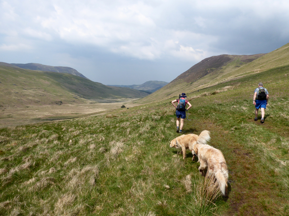
After a false start (we headed out across the valley without thinking) we backtracked through the farm and walked up the road. The track we wanted was the one up Warnscale Valley and that leaves the road beyond the main car park. This is the view of the High Stile Ridge as the mountain track curves around the base of Fleetwith Pike.
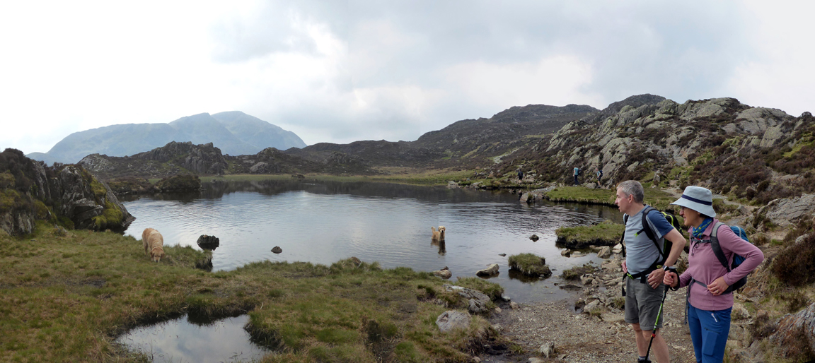
Jude and Rob try and make sense out of the view ahead.
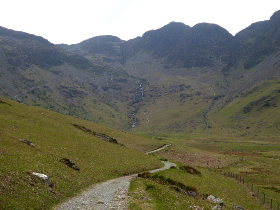
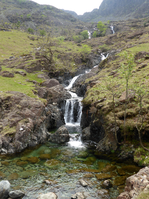
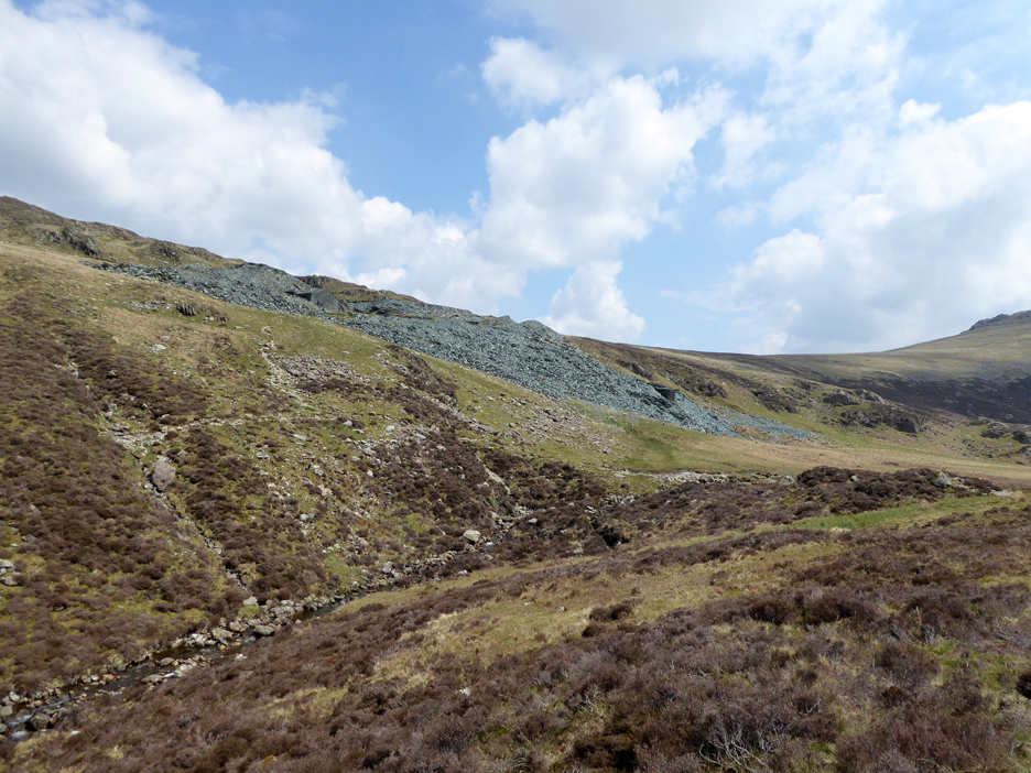
Rob was pointing at Dubs Beck as it cascades down from Dubs valley into Warnscale. This valley goes by the delightful name of Warnscale Bottom . . . as it is the bottom of the valley presumably.
Rather than take the Miner's Path up to Dubs, we cross the river and head for the older of the two bothies.
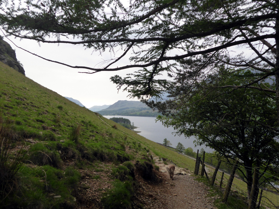
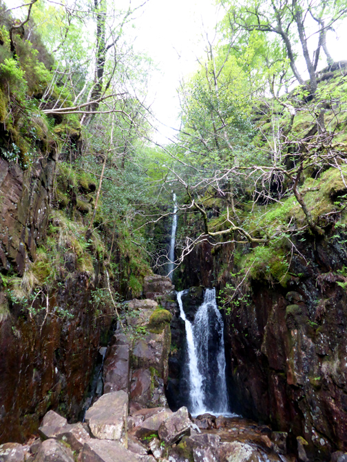
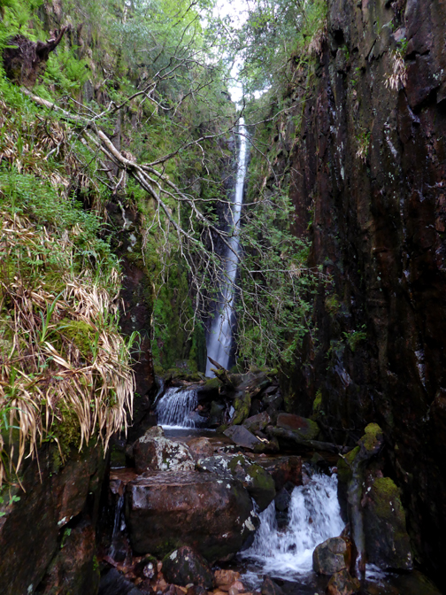
The path starts gently enough, then it suddenly gets steep as it reaches the headwall of the valley. The view back is of Buttermere and distant Mellbreak.
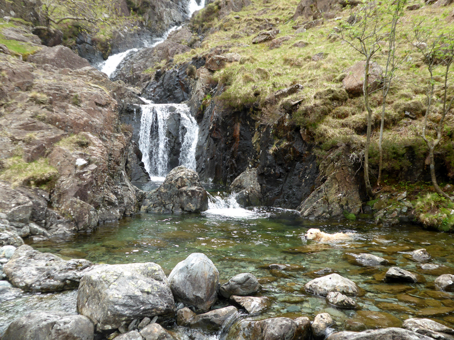
We climb steeply up . . . the river falls steeply down. Dougal takes a dip . . . because he can.
The Miner's path on the opposite side of Dubs Beck. It is not a path I've done for quite some time and I understand it is getting quite rough and hard work to descend. ( Someone tell me if I'm wrong please )
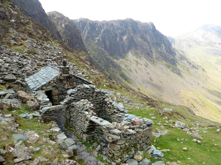
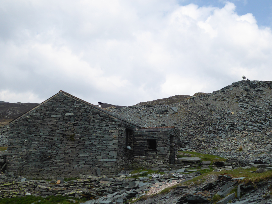
By crossing the beck and climbing this side we arrive at Warnscale Bothy. It was built in the 1750's for the James Spedding Slate Mine, but the venture was not a success. A brief revival in 1807 saw the building once again in use but that too ended in failure. The buildings subsequently remain undisturbed for 150 years until it was re-roofed in 1985 by the Mountain Bothies Association.
The brief visit over, we head on up the last of the slope to Dubs. Haystacks is behind us now but our path would turn at the top and we'll head over to the summit in due course.
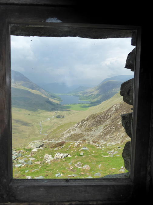
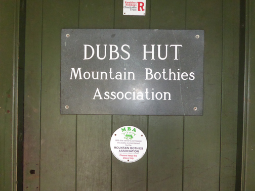
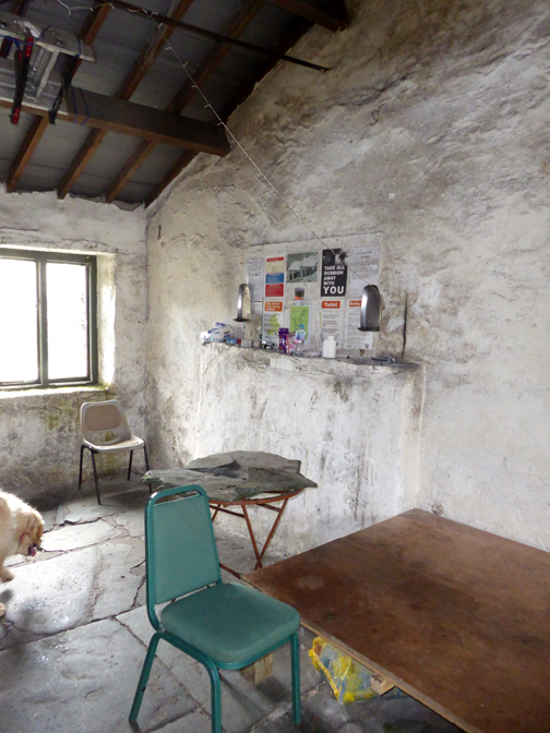
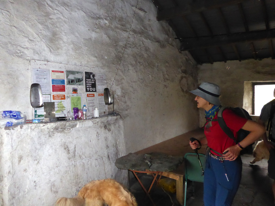
First we chose to visit the other, larger mountain bothy, the Dubs Quarry Hut.
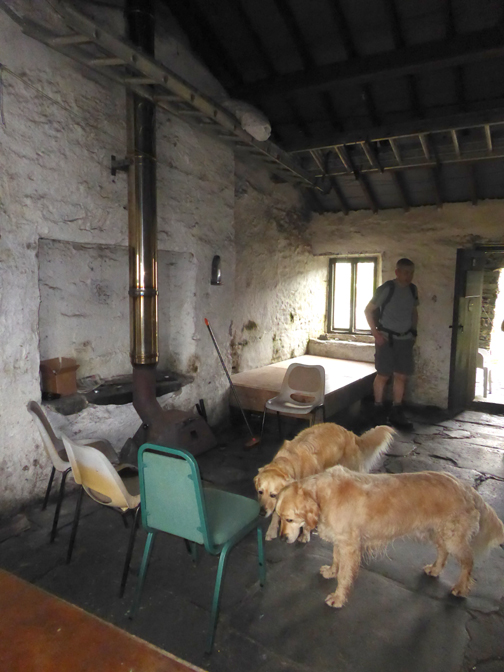
It is a larger, more substantial building but fitted out in the same way as the other, for those that wish to spend a night in the fells. Our arrival had been noted by the sentinel standing high on the slate bank above the hut.
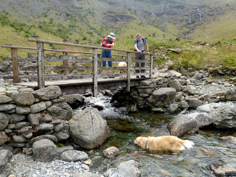
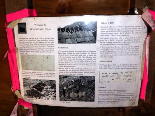
Judith checks out the notice board. The wooden structure in the background is one of the sleeping platforms.
Rob leads the way as we backtrack slightly to the beck and then aim for the path you see beyond.
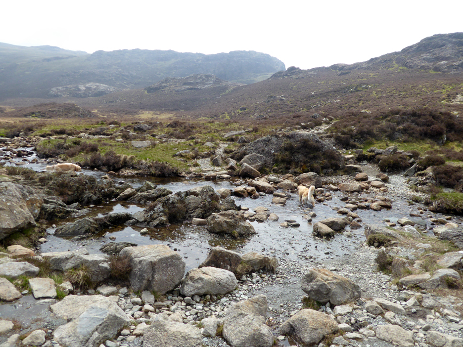
With the fine weather the river crossing is easy today . . . no need for balancing on the stepping stones.
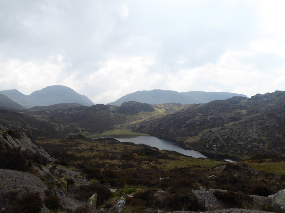
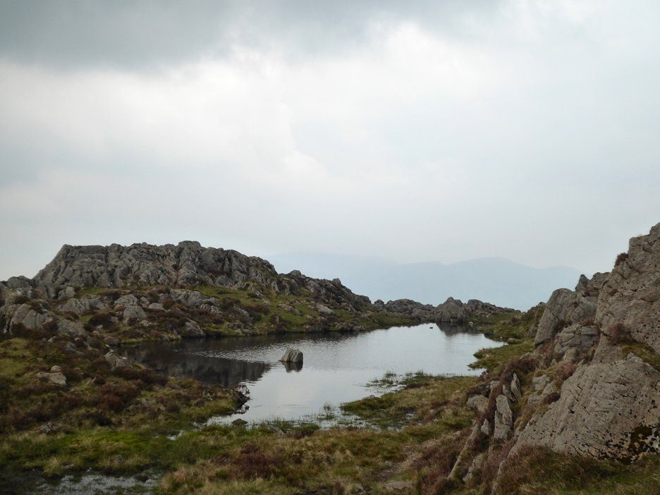
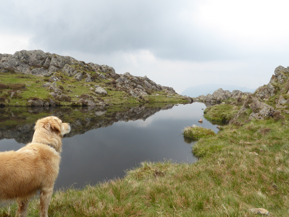
We head across to Green Crag, from where we get our first view of Blackbeck Tarn.
There's a nice section of pitched path here that runs up in the gap between the rocks.
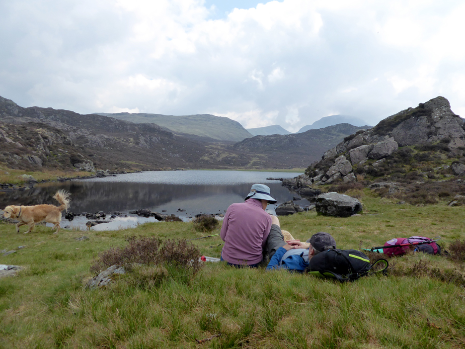
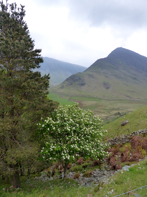
In the distance is Green Gable and Great Gable . . . but we pause for matters closer at hand . . . lunch !
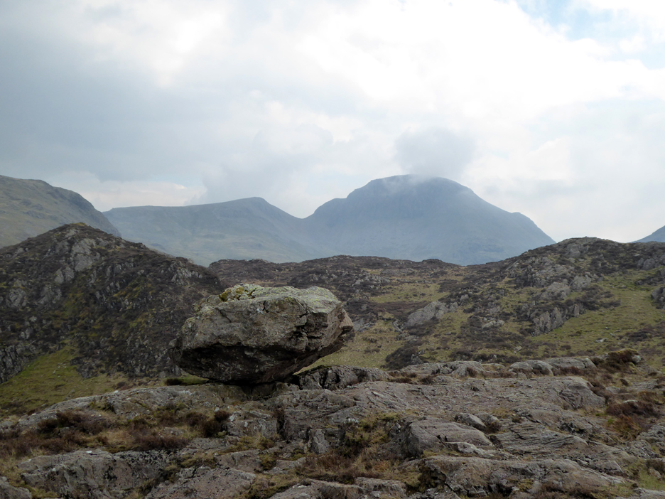
A slight cross-country diversion brings us out at the hanging boulder, a large erratic rock that was most probably left in this strange position by the melting glacial snow cover.
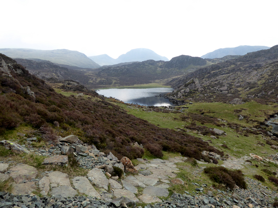
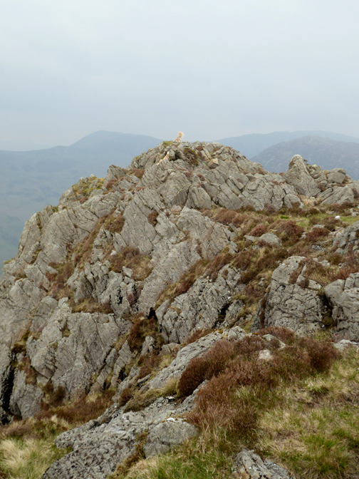
By doing the diversion to the boulder we were able to enjoy the rugged nature of the traverse of Haystacks. The path winds in between the many boulders and humps but does eventually bring us out at Innominate Tarn.
We take the path on the far side to see if we could get any grit in our shoes.
By doing so we avoided the crowds on the main route to the summit.
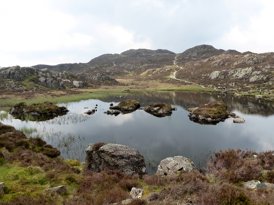
To be fair there weren't too many folk and each that we talked to were very sociable. We pass the second tarn, so innominate that it really doesn't have a name at all.
This one does . . . This is the view of Summit Tarn as we climb the last few feet to . . . the summit of Haystacks
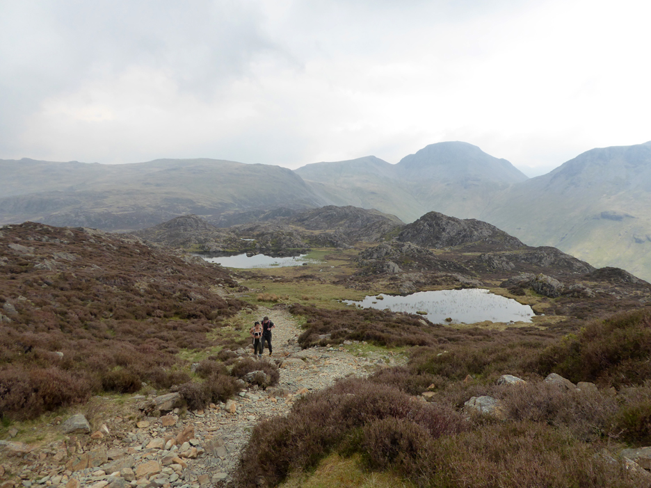
Summit bagged, duty done, we drop back down to Summit tarn as we make our way off the fell. Dougal has spotted something it seems.
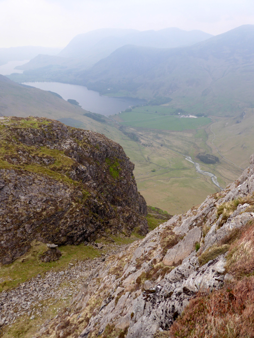
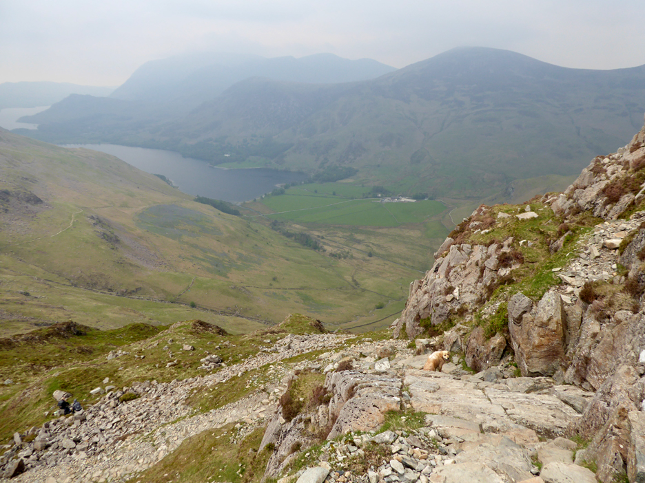
The sloping rock ledge means we are on the normal path. Beyond you can see the rather disappointing haziness of the day.
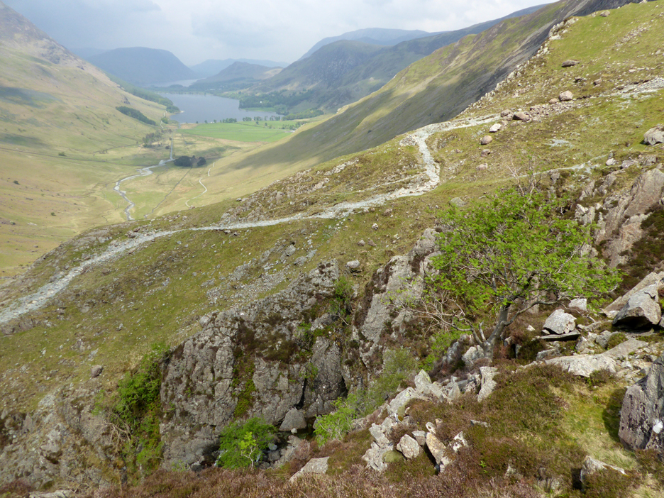
Below us is Scarth Gap. The ridge path continues on to High Stile via Seat, but we'll turn right and head back down towards Gatesgarth.
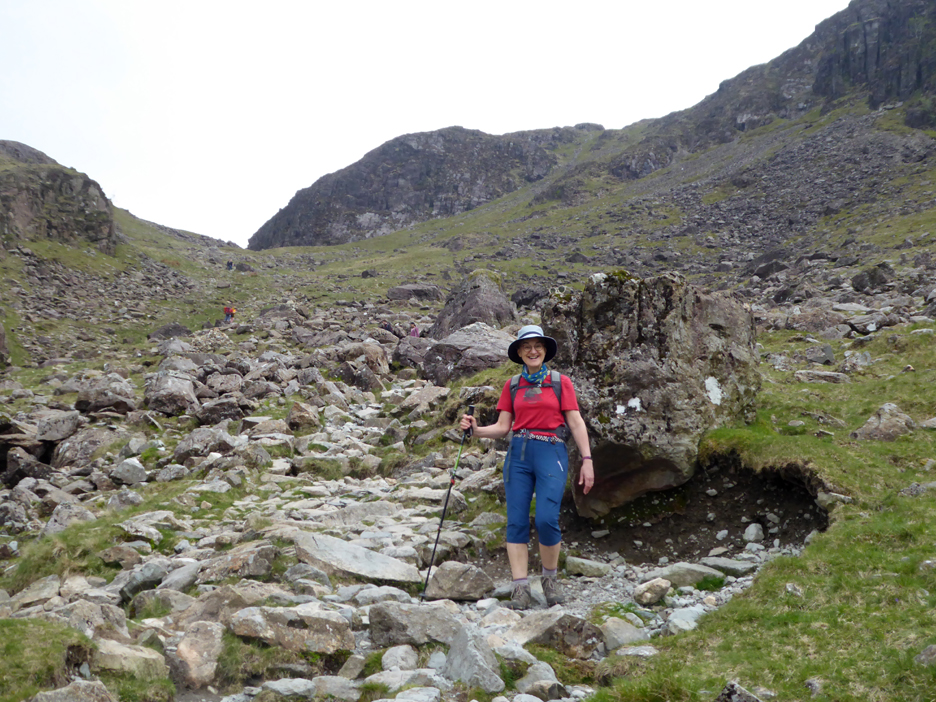
Jude looking happy . . . she really wanted to climb Haystacks today.
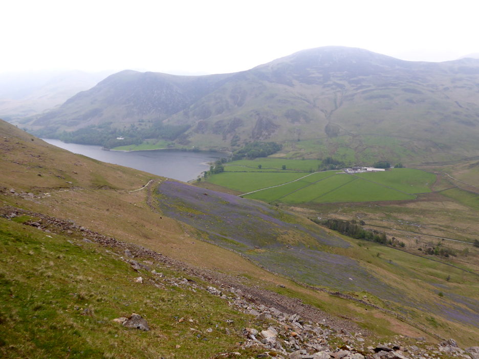
Below Scarth Gap now and we can look back at the head of the valley and try and work out where the bothy is.
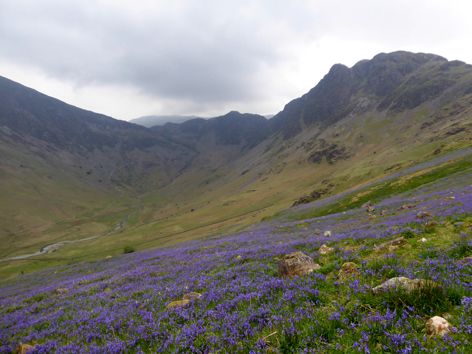
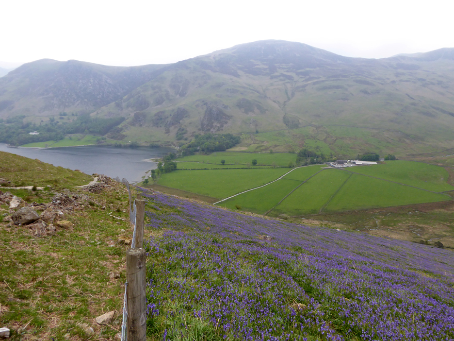
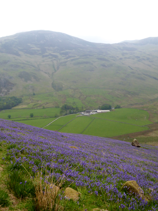
Ahead we notice a large area of ground with an unusual colour.
Well, being May and as we've seen so many bluebells this year, we could guess what it was !
A large patch of flowers out on the open fell side. Presumably, like Rannerdale Valley, it is taking advantage of the north facing slope. The ground temperature here will remain cooler even though there's no tree cover to shade the sunlight.
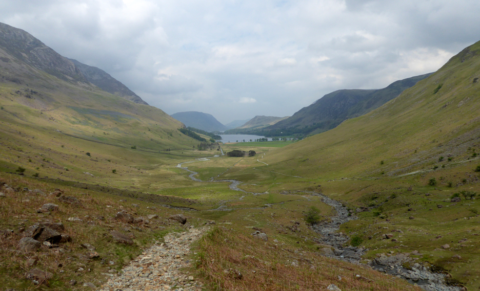
The errant parachute we saw here last time has gone so we continue uneventfully down to the bridge below.
- - - o o o - - -
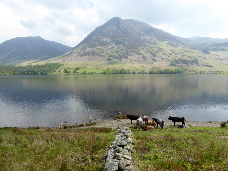
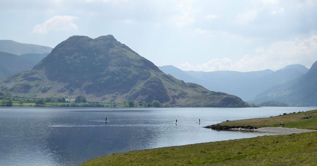
Where would they like to swim . . . how about Low Ling Crag on Crummock Water ? We took the top path, but the dogs seem to have met the cattle down by the lake shore. They'll sort themselves out no doubt.
Three paddle boarders glide across the surface of the lake, but did you spot the swimmer out ahead of them ?
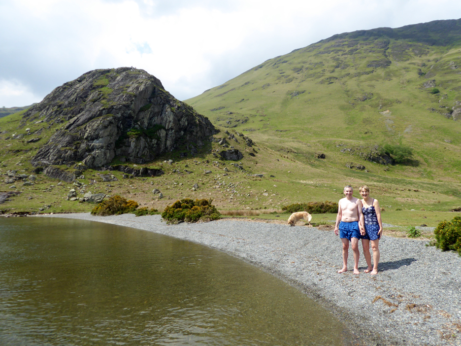
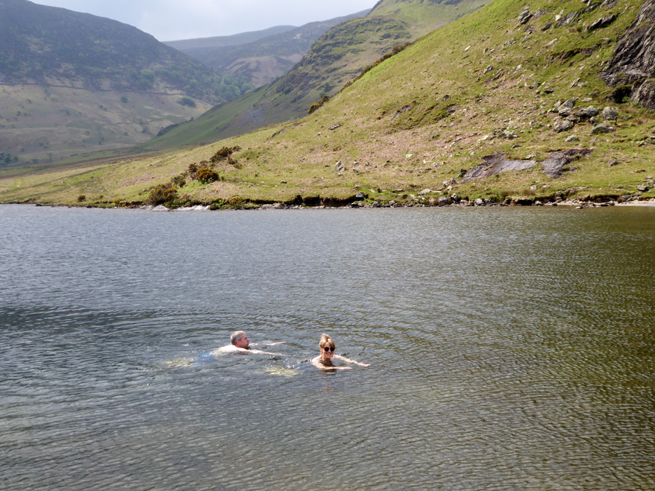
Rob and Jude get changed for their dip, from the beach at Low Ling Crag.
The water is surprisingly warm for this early in the summer season.
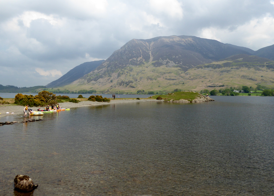
More water sports . . . this time several canoeists arrive and pull up onto the beach.
Wisely they declined to join me . . . it was the most slippery I'd known it for some time. Maybe it was the trainers rather than the rock but I don't think so.
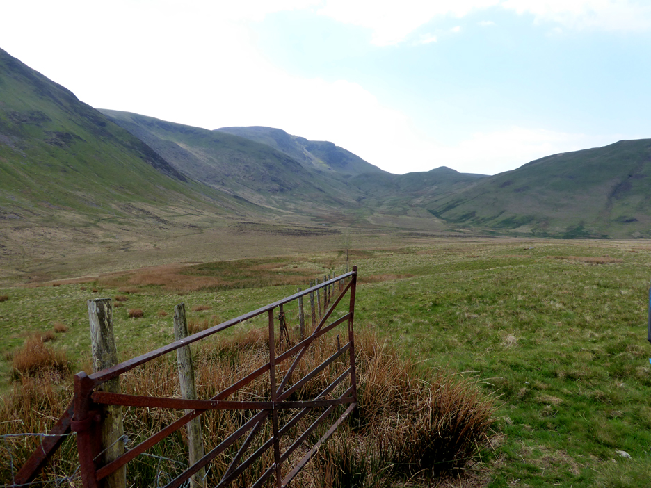
The gate leads out into Mosedale. In the distance is Floutern Pass, leading eventually over into Ennerdale.
There just remains to pass the landmark Mosedale Holly and walk the full length of the valley before we find ourselves back at the cottage at the end of the walk. - - - o o o - - - |
|
Technical note: Pictures generally taken with my a Panasonic Lumix TZ60 Camera. Resized in Photoshop, and built up on a Dreamweaver web builder. This site best viewed with . . . warm sunshine to dry off quickly after a swim. Go to Home Page . . . © RmH . . . Email me here Previous walk - 26th May Pike O'Blisco and Keep Going A previous time up here - 6th Dec 2008 Winter Wonderland on Haystacks Next walk - 4th June 2021 The Whinlatter Fells
|