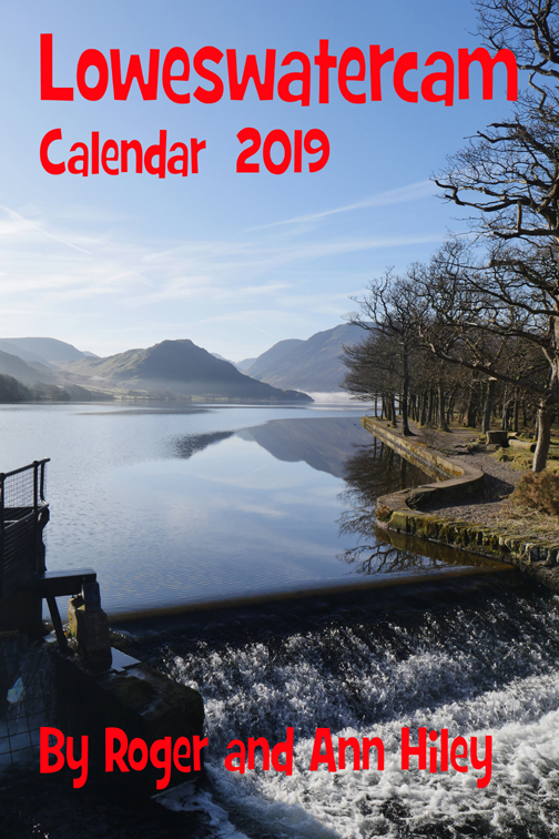
![]()

Remember: Press F11 for a full
screen view of this page.
|
|
|
Remember: Press F11 for a full
screen view of this page. |
|
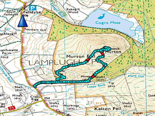
" Knock Murton with Jo " Date & start time: Tuesday 4th September, 2018. 3.10 pm start. Location of Start : Adjacent to the Cauda Brow road, Lamplugh, Cumbria, Uk ( NY 143 211 ) Places visited : Murton Fell and Knock Murton summit. Walk details : 2.1 miles, 725 feet of ascent, 2 hours 10 mins. Highest point : Knock Murton 1410 ft - 447m. Walked with : Ann and Jo and our dogs Amber and Dylan. Weather : A lovely sunny west coast afternoon without a hint of rain ! |
© Crown copyright. All rights reserved. Licence number PU 100034184. |
|
It's Tuesday, not that that has any relevance to the walk . . . it could be done any day of the week ! Jo is over in Loweswater, the weather is nice and a walk a little different from a local stroll was what was required. Thinking west coast, the obvious medium fell for us is Knock Murton which Jo hasn't done for quite a while. It's a Wainwright outlier so no points today, except for ticking off a lovely sunny walk.
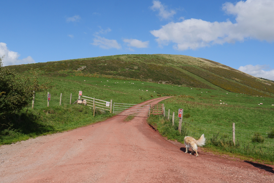
A picture to match with the map above. All that's missing is that thick bright blue doted line winding its way up the fell side.
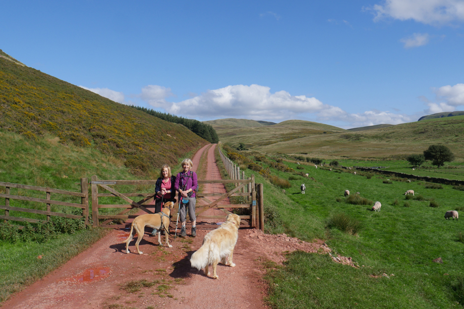
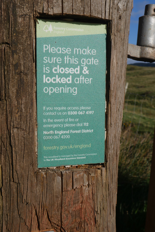
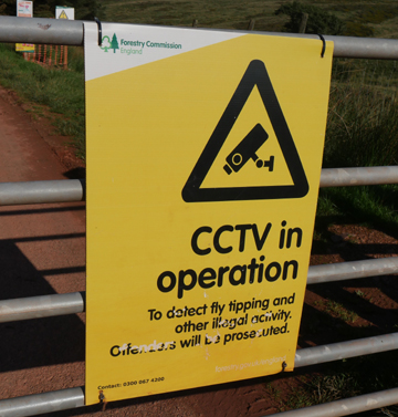
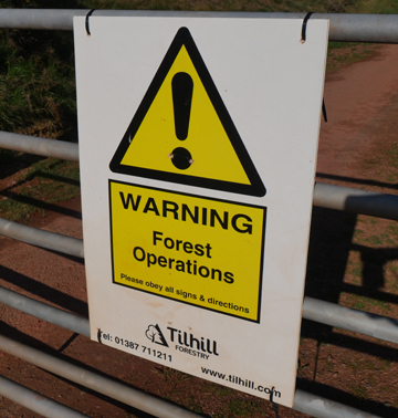
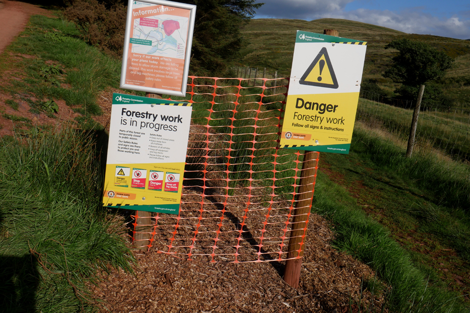
Parking is normally either side of the gate but the forestry notices, all six of them, insist no parking. Undeterred Jo parks just a few yards away, well clear of any turning lorries.
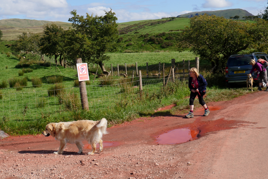
The track starts at the roadside and gradually climbs toward the forest. Opposite is the old railway track and an old arch under it . . . the sheep are Swaledales by the way.
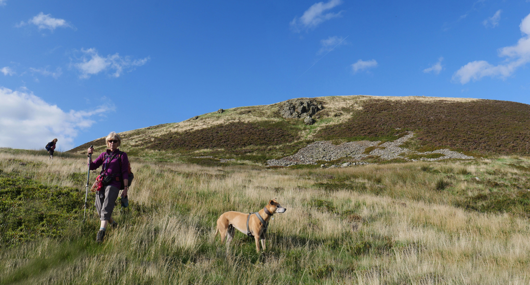
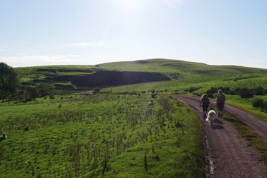
Not a lorry in sight as we reach the second gate. We will return by this track but at this point we turn left through the gate and start our ascent of Knock Murton.
A zag then a zig and we're climbing up to an obvious spoil heap. Below us the big flat field has the tell-tale signs of the recent Ennerdale Show etched temporarily into the grass.
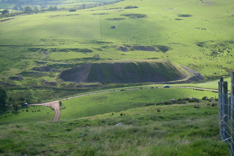
The spoil heap from the Knock Murton iron mines is at the end of an old track which stretches horizontally across this part of the fell.
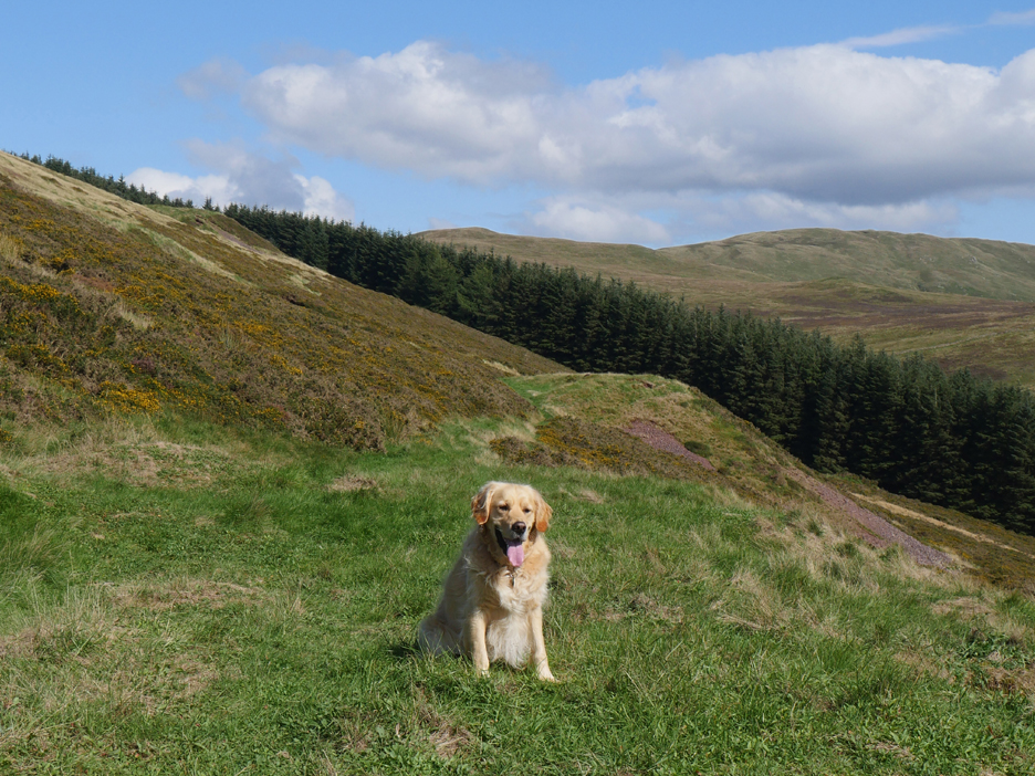
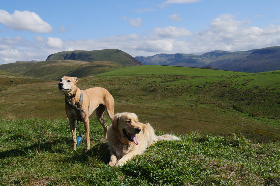
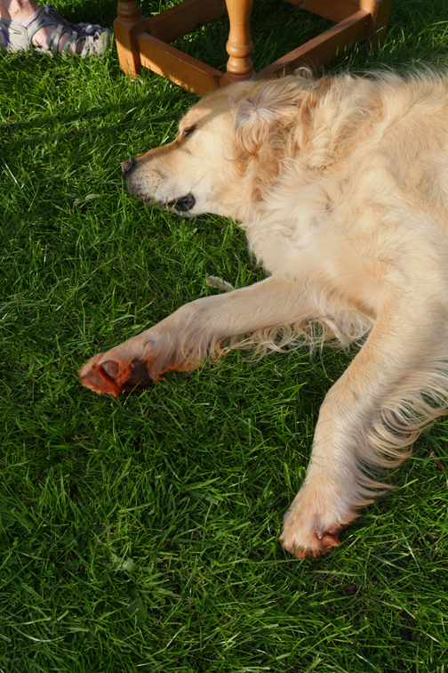
Dylan has doggy company today in the form of Jo's Amber.
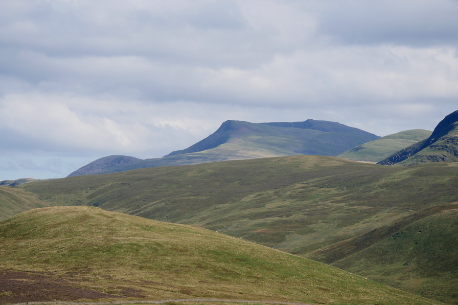
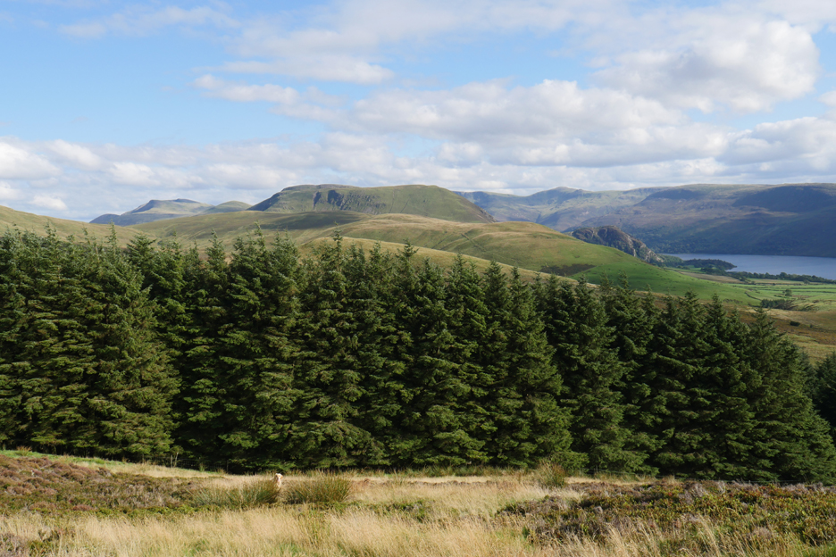
We turn again and head up for the top of the ridge that climbs up the western side of the fell. The views is across to Grasmoor and the end-on High Stile Ridge, starting with Red Pike. There's a geological connection here . . . Red Pike is named after the same iron rich rocks that adorn its slopes too.
While the big lens is on I can turn to capture Bowness Knott with Little Gowder Crag and Haycock behind.
More old iron mining waste tips back down by the road are all that remains of the Kentonfell Mines That's Jo's car to the left, far below now that we have reached the fence line.
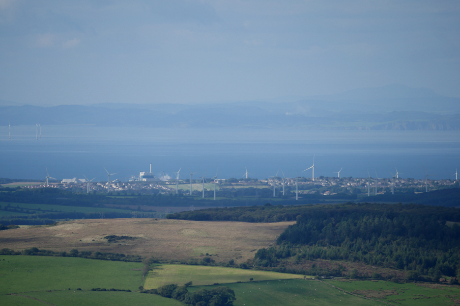
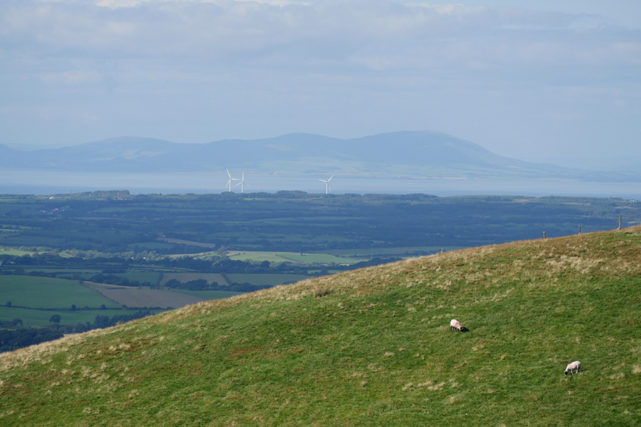
Swinging further right, the eye can pick out the wind farms and the chimney of the Iggersund Paper Mill at Workington.
In the distance now . . . Criffel in Scotland . . . on the other side of the Solway Firth.
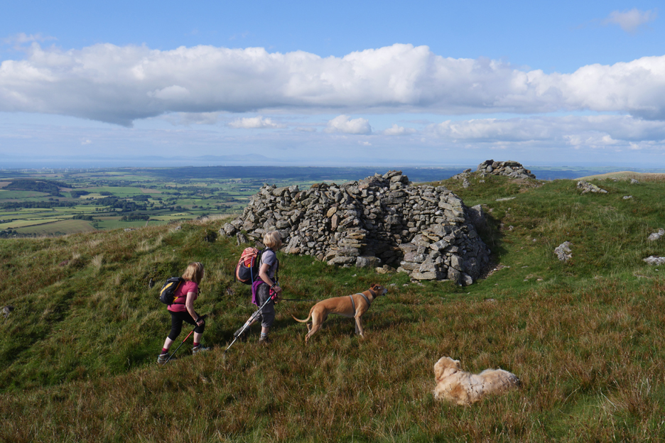
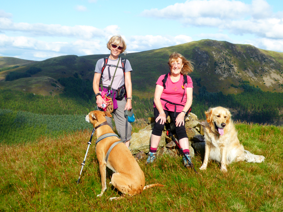
The top has a multifaceted shelter cairn, suitable whatever the wind direction.
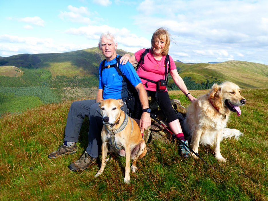
Ann and I on the summit . . . photography by Jo.
Jo and Ann on the summit, photography courtesy of me.
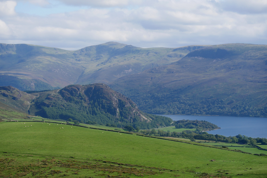
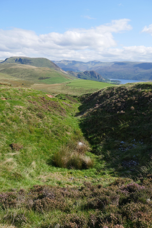
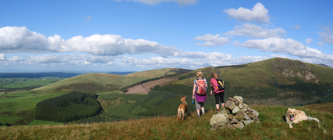
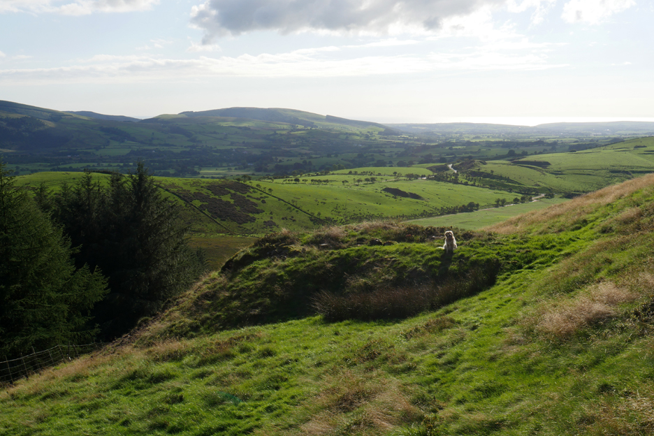
The ladies turn to admire the view north. They are looking at Owsen Fell to the left, Burnbank and the slope rising to Blake Fell on the right.
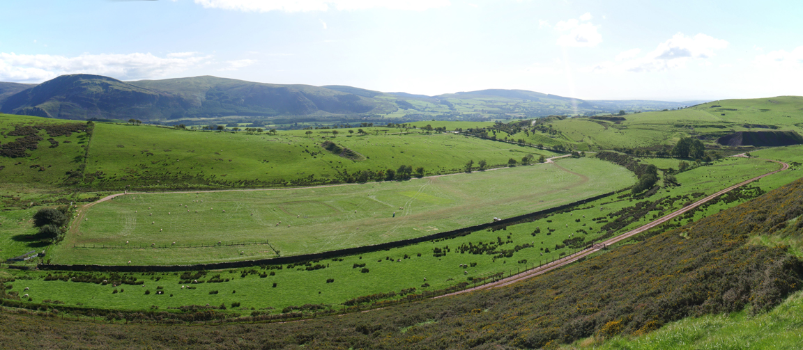
A wider panorama by Ann from about the same spot. They have clear-felled an area of forestry over on the side of Blake Fell and presumably use the forest track from there, horizontally round under Blake summit to our parking area, to extract the timber.
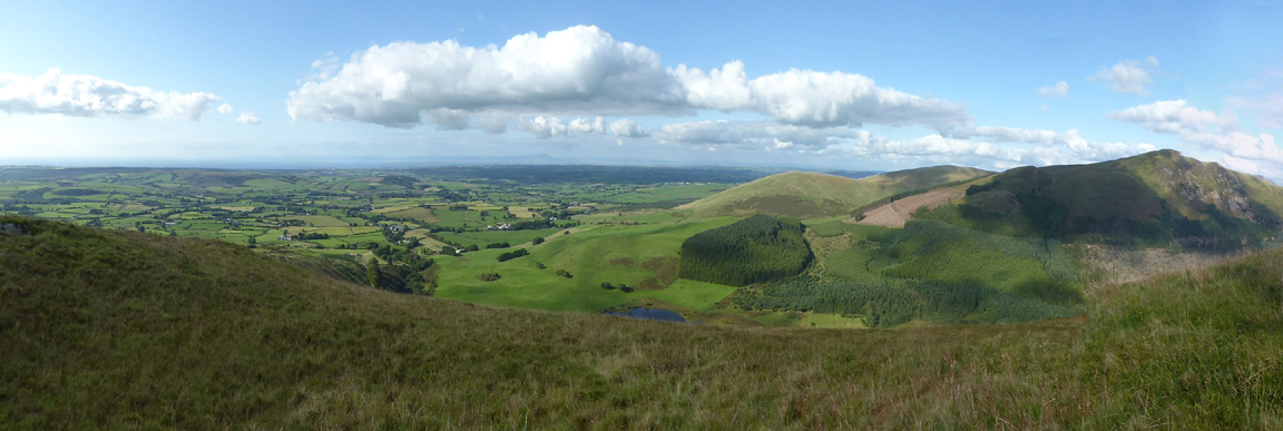
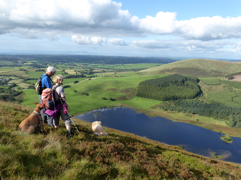
We move closer to the edge to improve the view down.
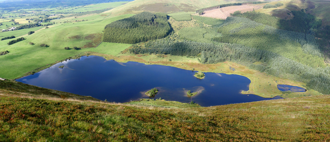
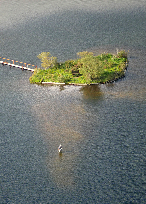
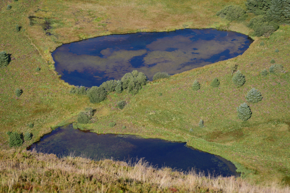
Below is the old reservoir of Cogra Moss. It is now a favourite spot of the local Angling Club and several of the islands are joined by rough boardwalks.
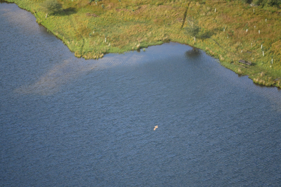
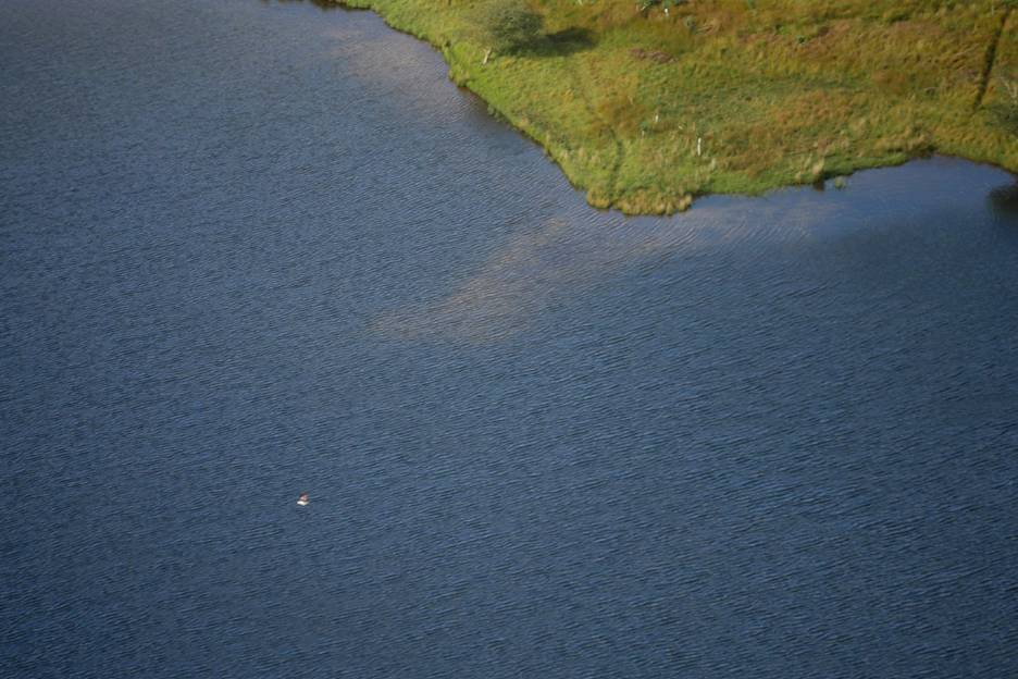
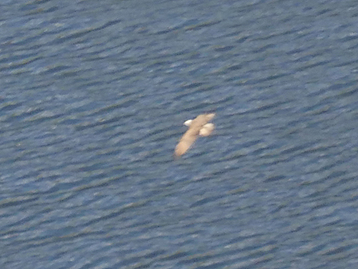
My eye was attracted by a big splash in the water . . . followed by this bird flying off across the lake.
I took a picture or two on full zoom to try and identify it later.
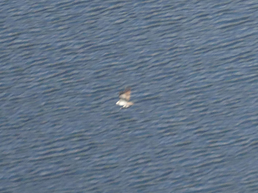
Doe it remind you of anything . . . is he carrying something ? I had a good guess then consulted the Oracle . . .
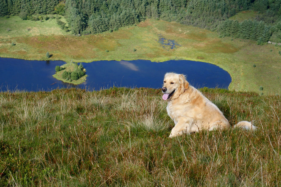
This is the lesser-spotted Dylan sitting quietly in the heather and bilberry plants while I took a photo.
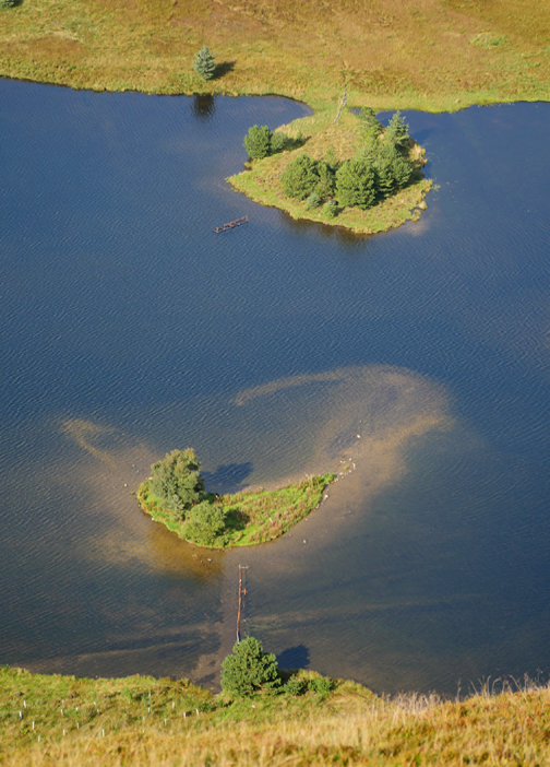
The top end of Cogra Moss lake has an outlier of its own and this secondary pond reflects the blue of the sky above.
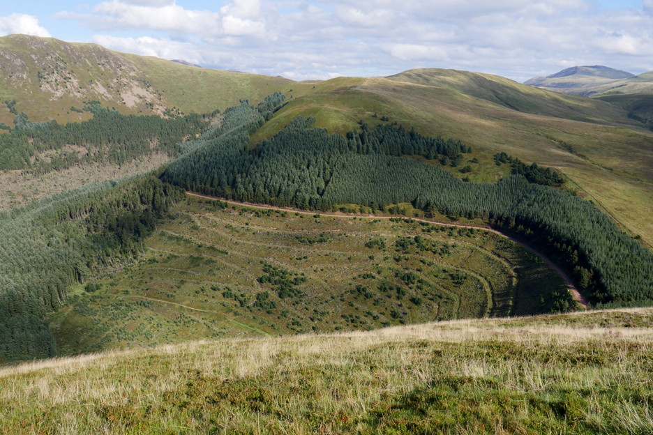
The cleared fell area on the side of Low Pen has now turned green after the restorative nature of time.
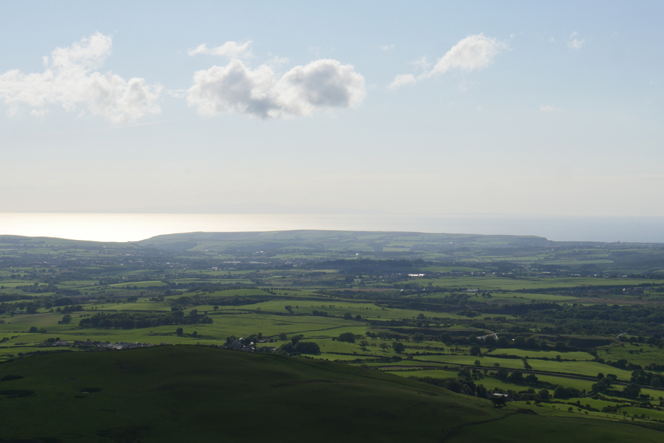
From the summit we look west and spot the Isle of Man just showing above the bright horizon.
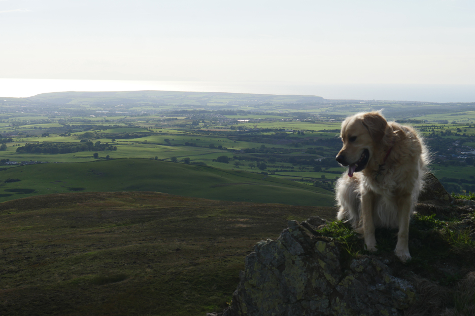
Time to head down . . . with Dylan perching on a rock along the way.
That rock features on the skyline now as we head down towards the forestry.
A last picture of Knock Murton and the Ennerdale fells before the trees hide the view.
An old spoil heap alongside the forestry. The footpath here is less distinct and a bit uneven as we make our way down to the track.
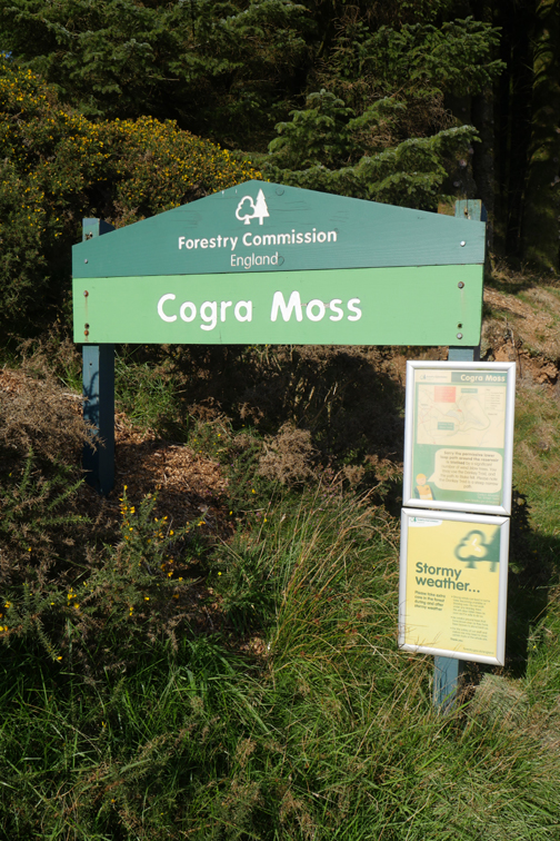
A seventh, eighth and ninth transforms information into graffiti and visual pollution ! [ The forest work is over two miles away on Blake and the only real problem could be forest lorries driving along this track.]
We turn our back on the signage and the gate and head back to the car at the end of the walk. - - - o o o - - - Back home and time for a relaxing cup of tea and some Loweswater fruit cake.
- - - o o o - - - |
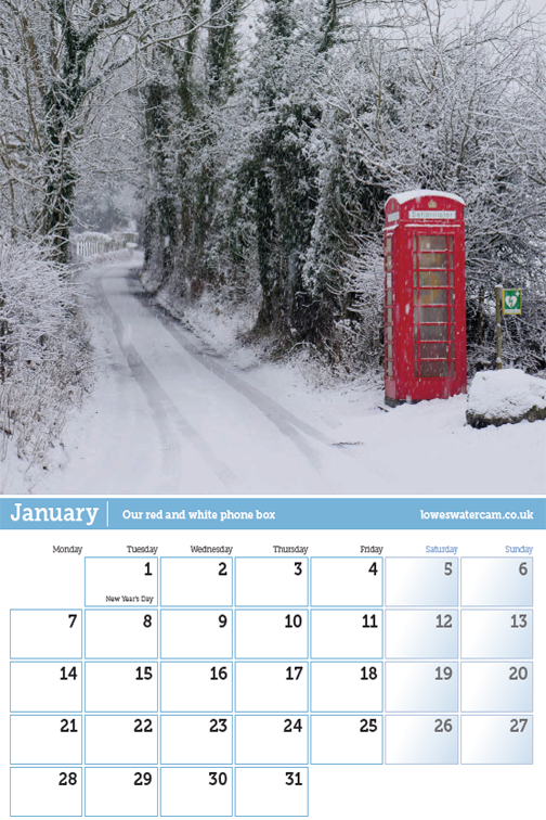
Technical note: Pictures taken with either Ann's Panasonic Lumix TZ60, or my Panasonic Lumix Gx8 Camera. Resized in Photoshop, and built up on a Dreamweaver web builder. This site best viewed with . . . clean long grass to wipe his feet. Go to Top . . . © RmH . . . Email me here Previous walk - 2nd September - The Loweswater Show 2018 A previous time up here - 11th January 2011 Knock Murton - winter sunshine Next event - 7th September - Loweswater's Tour of Britain Race
|