![]()

Remember: Press F11 for a full
screen view of this page.
|
|
|
Remember: Press F11 for a full
screen view of this page. |
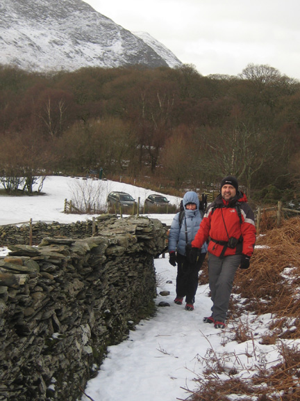
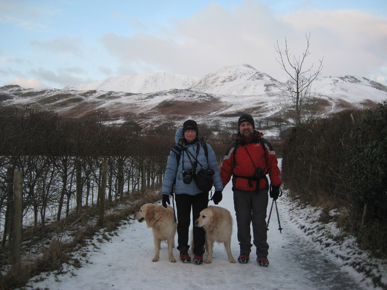
| Rannerdale and Buttermere Date & start time: Sunday 10th January 2010, 1.15 pm start. ( NY 173 172 ) Location of Start : The National Trust car park, Buttermere, Cumbria, Uk. Places visited : Low Bank and back, then down to Buttermere and back. Walk details : 2.6 mls, 725 ft, 2 hrs 30 mins including time for a quick snack. Highest point : Low Bank ridge 975 ft ( 300m). Walked with : Jill, Nigel, Myself (Ann) and the dogs, Harry and Bethan. Weather : Cold with a gale force wind on Rannerdale but calmer in the valley.
|
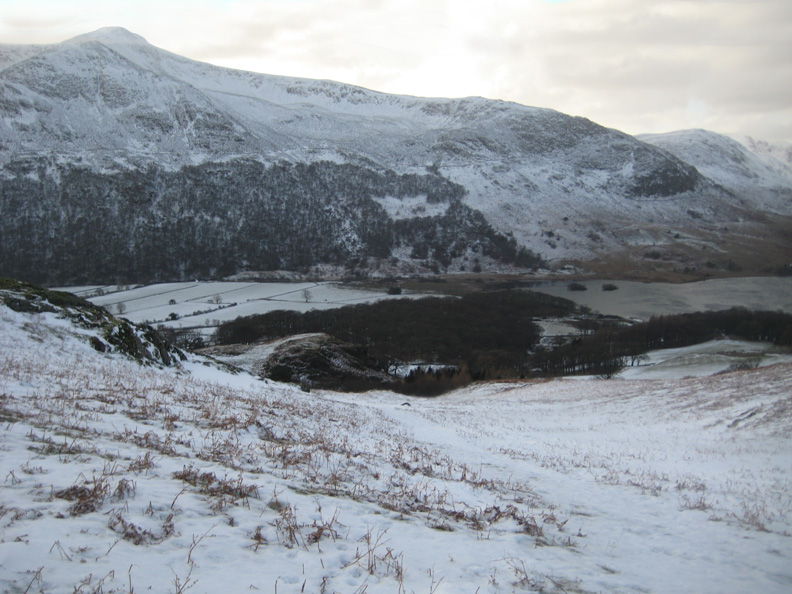
A black and white day compared to the blue sky and sunshine of the previous week. It was bitterly cold in a NE wind. We look down on a steely grey coloured Crummock and across the valley to Dodd and Red Pike and Lingcomb Edge.
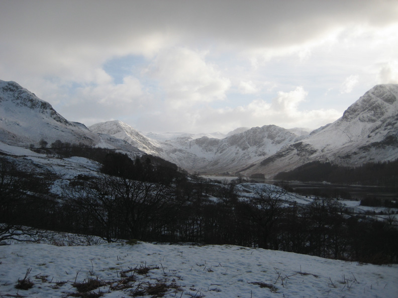
Buttermere and the head of the valley comes in to view as we climb higher. A little sun shines on Fleetwith Pike.
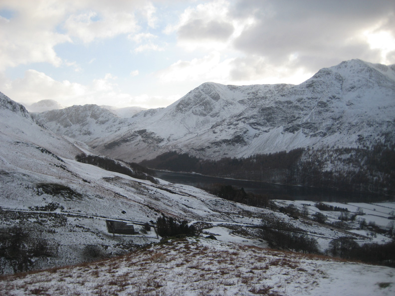
Great Gable to the left of this shot, darker skies over the High Stile ridge opposite us.
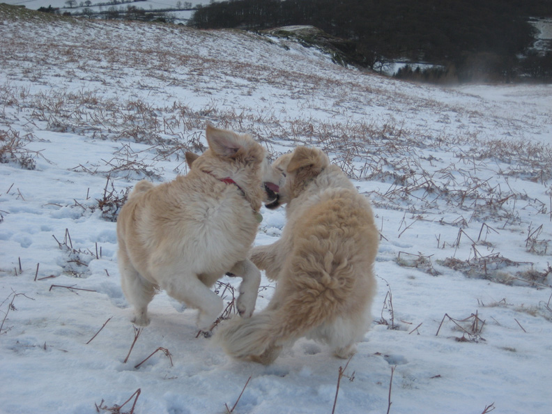
Spindrift sending showers of cold ice in to our faces doesn't bother Harry and Bethan with their thick furry coats.
They play and romp on their way up . . so much energy !
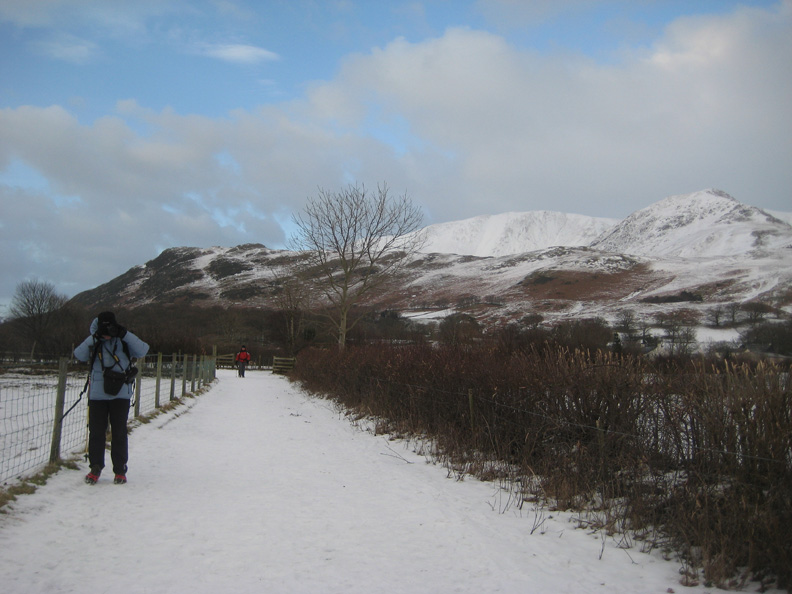
The Rannerdale ridge is behind Jill and Nigel, directly in front of the snow covered slopes of Grasmoor and Whiteless Pike. We walked down the track from Buttermere village to the lake.
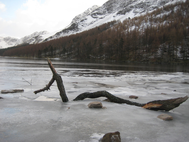
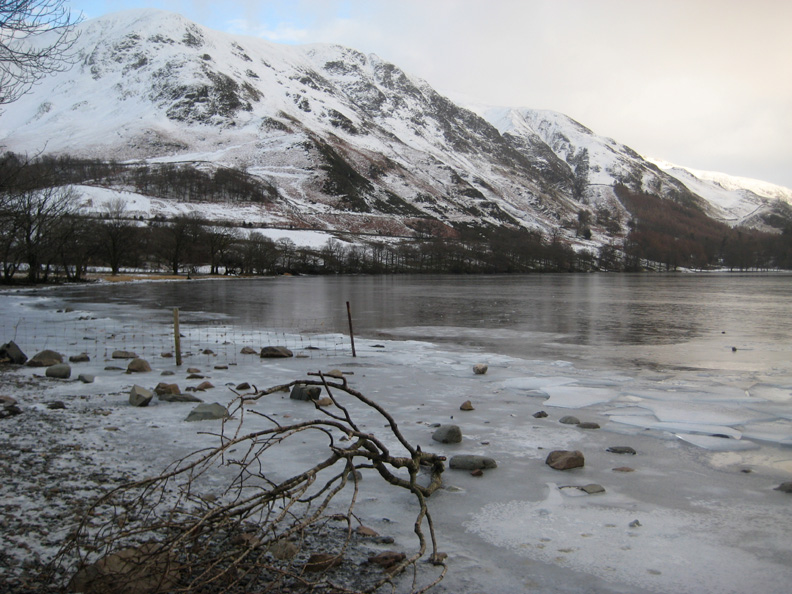
A monster shaped branch is trapped by the ice.
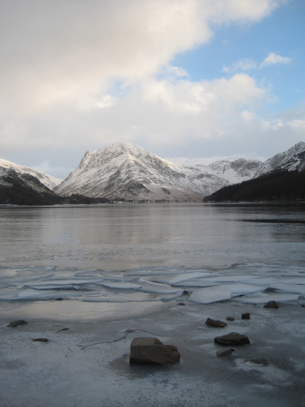
Fleetwith Pike behind the diminutive Buttermere Pines at the far end of Buttermere Dale Head to the left lights up in the sunshine at the head of the valley.
The slopes of High Snockrigg.
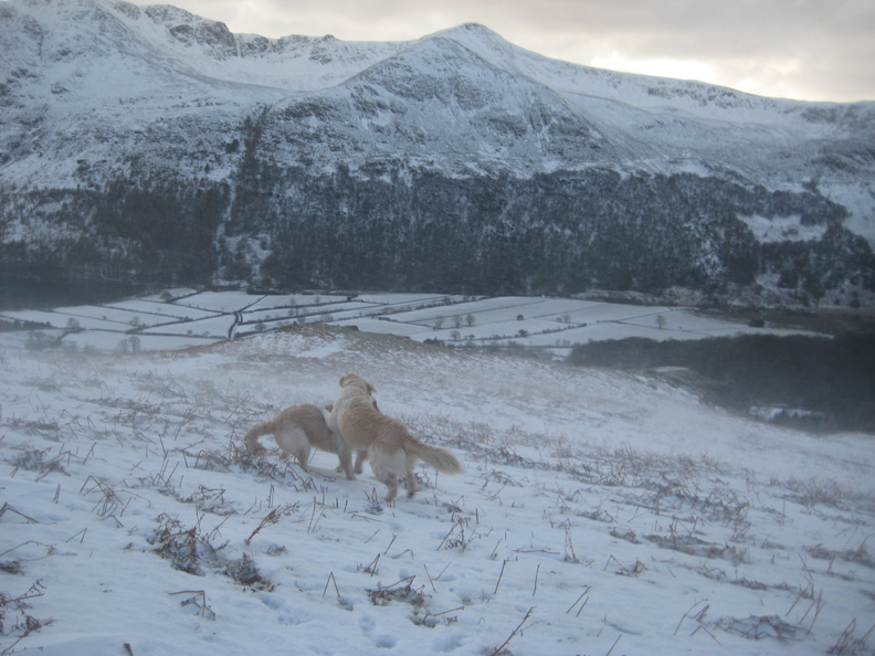
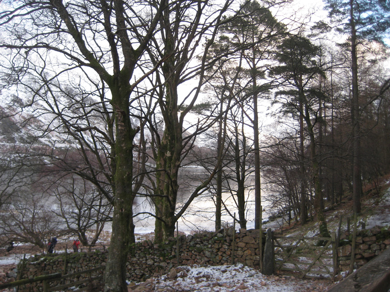
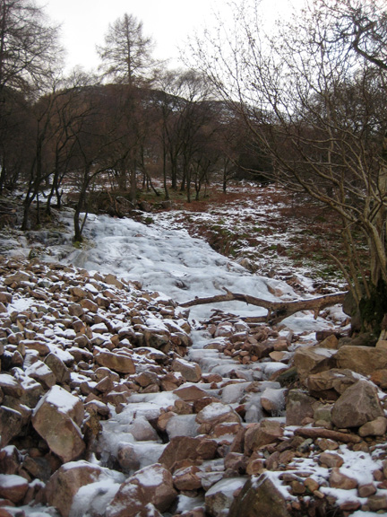
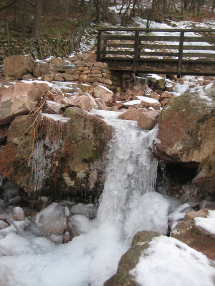
We cross to view Sourmilk Gill which gushes down from the slopes of Dodd and Red Pike high above us.
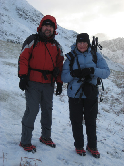
Jill and Nigel with the view of our "Knott Rannerdale after all" route behind. We reached the point on the ridge directly behind Nigel and came down the exceptionally steep icy path seen to the right of the tree.
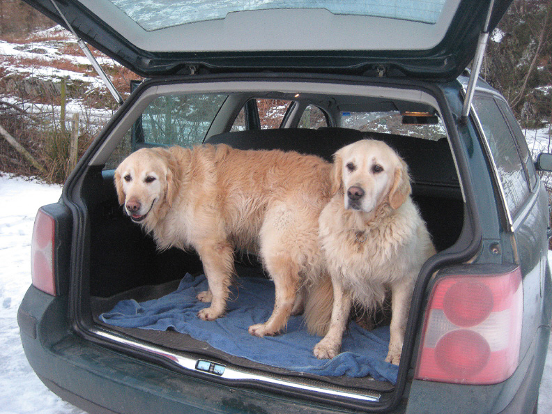
Harry and Bethan in the back of Nigel's car at the end of a very enjoyable walk. Bethan looks pleased to hitch a lift in a new car, Harry seems less sure ! - - - o o o - - - |
Technical note: Pictures taken with Ann's Canon 75 digital camera. Resized in Photoshop, and built up on a Dreamweaver web builder. This site best viewed with . . . a wise decision to change plans ! © RmH.2010 # Email me here # or leave me a Guest Book Entry Previous walk - 9th January 2010 Loweswater and High Nook Round A previous time up here - 16th October 2008 Buttermere Round the Lake Next walk - 17th January 2010 Ling Fell with Ann
|