![]()

Remember: Press F11 for a full
screen view of this page.
|
|
|
Remember: Press F11 for a full
screen view of this page. |
| Loweswater and High Nook Round Date & start time: Saturday 9th January 2010, 1.15 pm start. Location of Start : Maggie's Bridge car park, Loweswater , Cumbria, Uk ( NY 135 210 ) Places visited : Watergate Farm, the Bothy, Holme Force Walk details : 3.75 mls, 700 ft, 3 hrs 5 mins. Highest point : The Coffin Road around Carling Knott 975 ft ( 299m ) Walked with : Jill and Nigel, Ann and the dogs, Harry and Bethan. Weather : Sunshine and blue skies continues !
|
|
Jill and Nigel are up to stay for a few days and so we take a walk out to enjoy the continuing sunshine and blue skies. They travelled up through the Kent snow yesterday, taking their son to Lancaster University along the way. After an overnight stop at the Premier Inn at Kendal ( Hi to the manager Lee . . . a Loweswatercam viewer we are told ) they drove up through the snow covered Lakes and arrived here mid-morning.
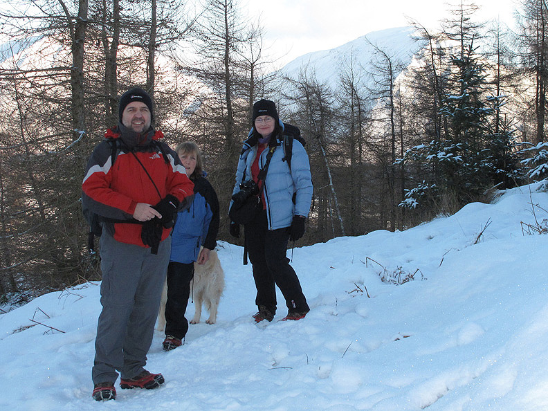
Today's party minus one dog who will be somewhere near . . . hopefully.
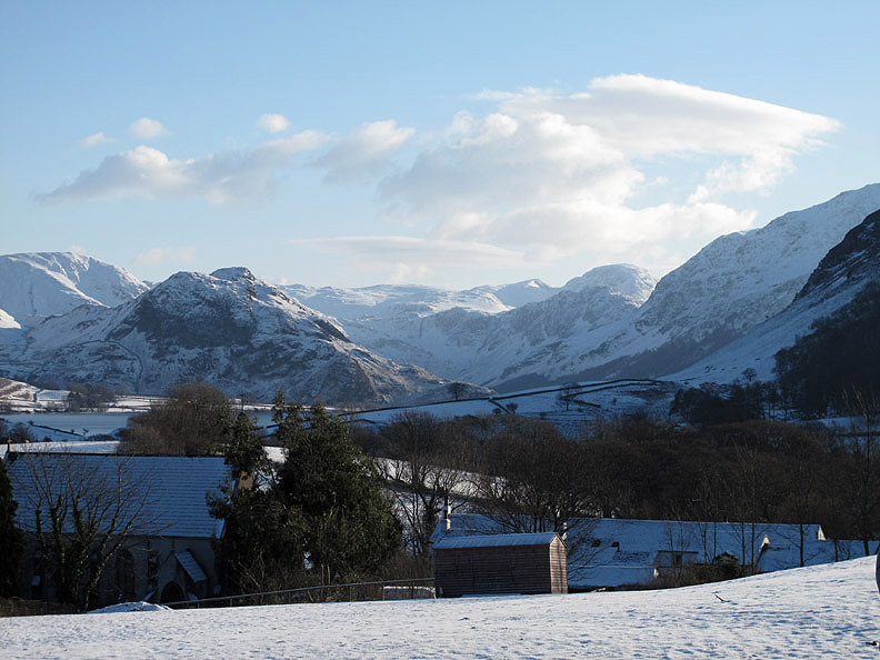
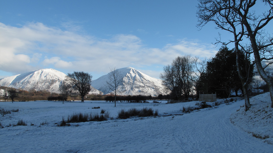
Jill and NIgel don't know the local area that well so we chose a route to enjoy all the local sights. This is the first . . . the classic view from Loweswater Village Hall, looking over the Church and the Kirkstile Inn and on up the Buttermere Valley.
The high fells are covered in white stuff . . . and it's not cloud !
Anna Humphrey's horse standing quietly in the field, his show jumping equipment put to one side for the moment.
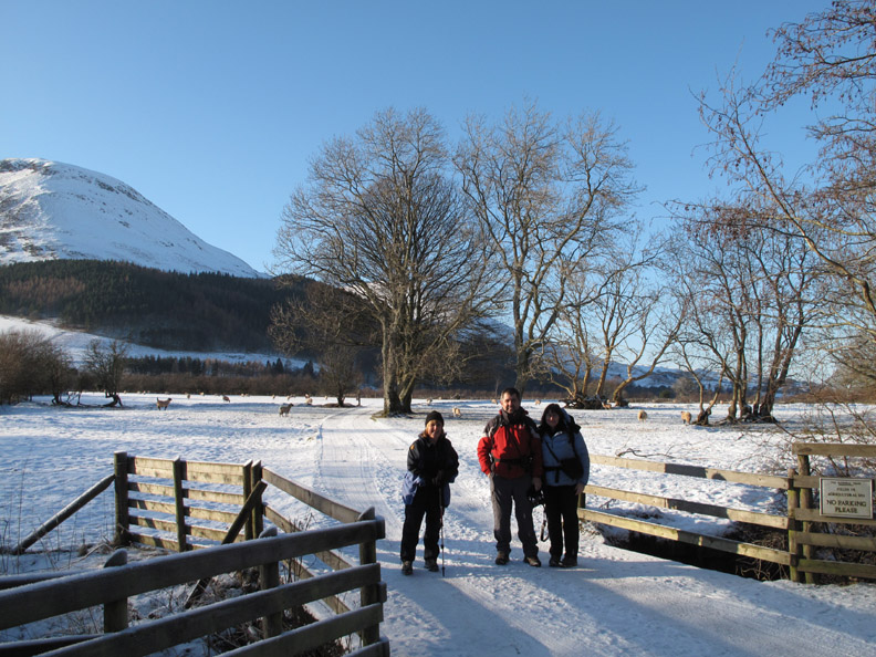
We start the walk at Maggie's Bridge. "No parking please" refers to the road from here on . . . not to the conveniently situated car park just behind me.
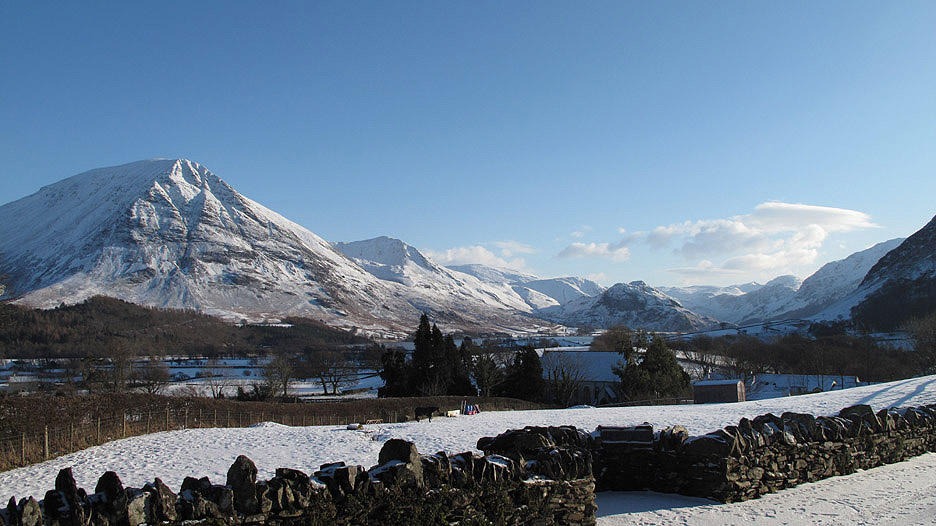
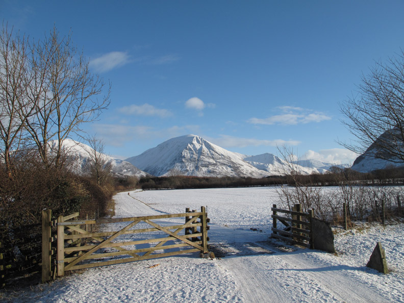
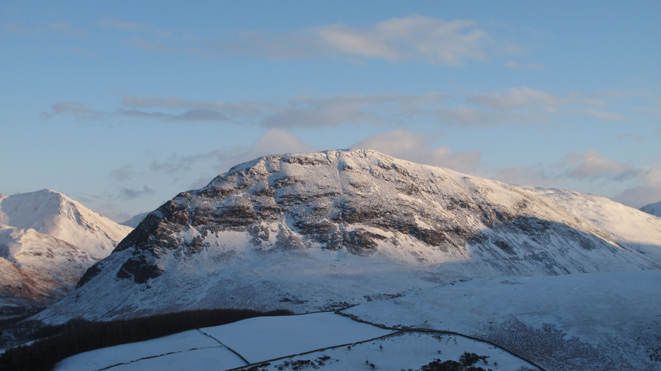
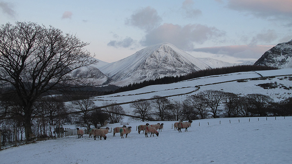
Retro . . . looking back at Grasmoor across the Loweswater Meadows.
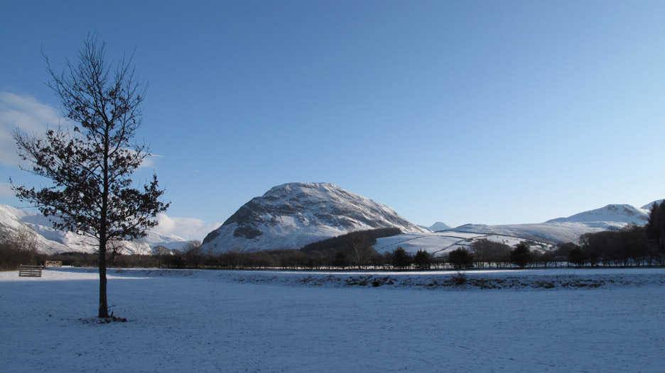
The simplicity of this view just shouts for a photo.
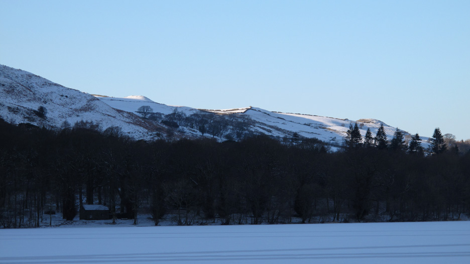
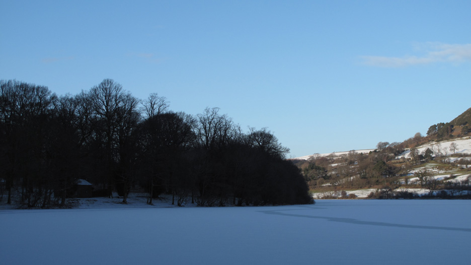
A slight diversion from the farm track takes us to the lakeside. Across the frozen waters are Low Fell, Crab Tree Cottage and Thrushbank Farm.
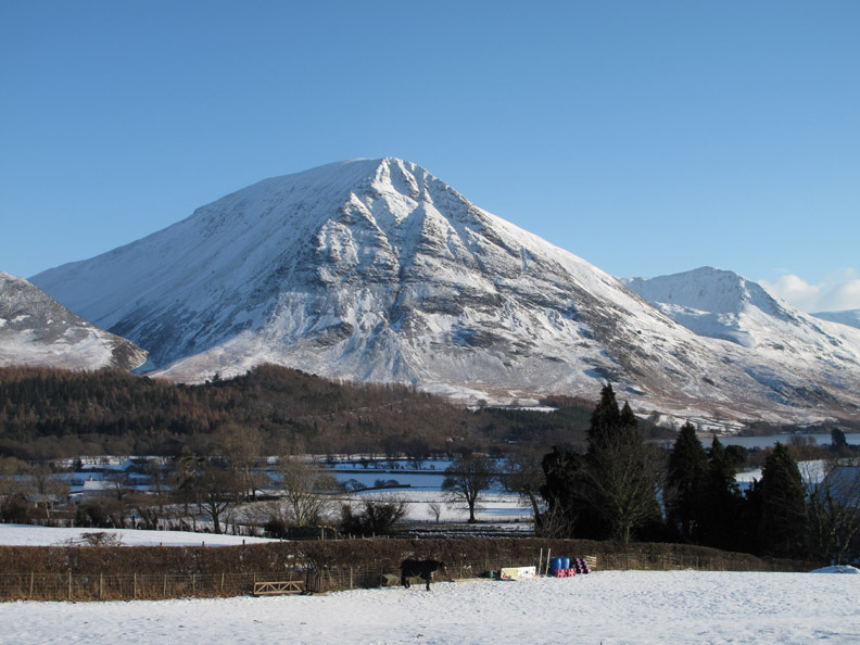
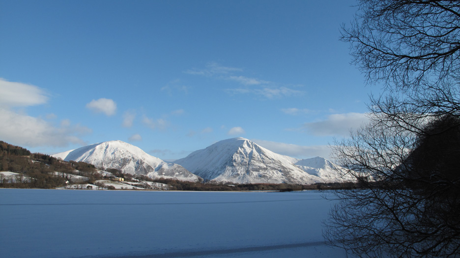
The twin peaks of Whiteside and Grasmoor from the track from Waterend to the woods.
Recent snow which has fallen on an already frozen lake and emphasises the winter conditions. The Bothy amongst the trees is in deep shadow . . . emphasising the below zero temperatures.
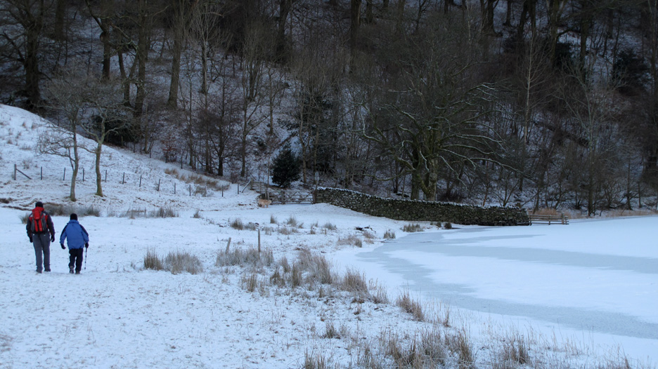
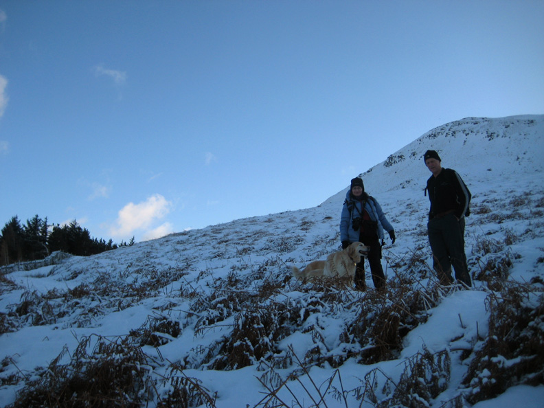
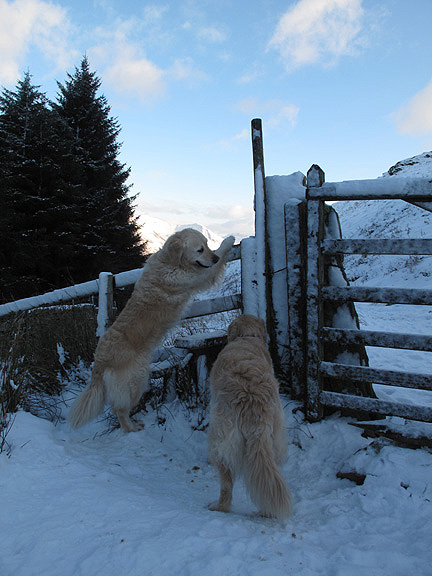
Nigel and Ann make their way over to the forest gate.
No boats today as they have been packed away for the winter.
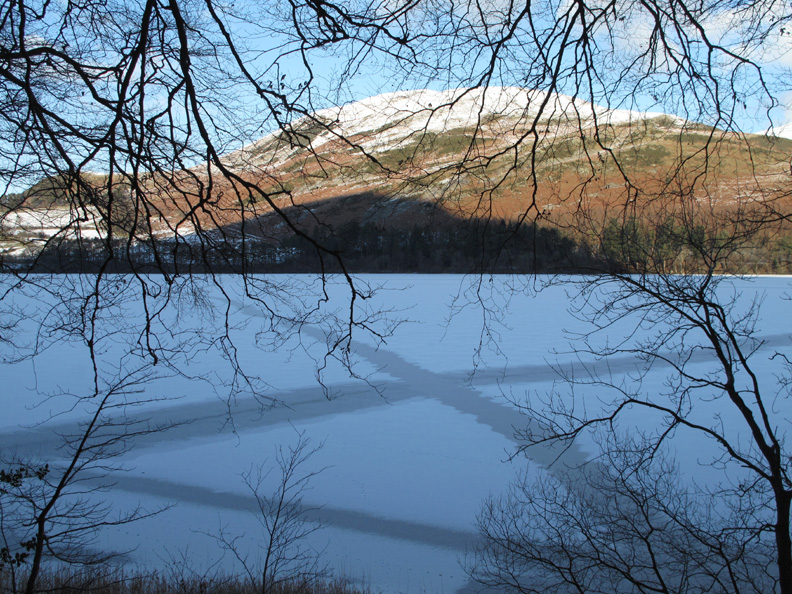
X means No . . . the ice is not the best place to go walking !
Closer now to the Bothy. It's available to hire by the week as a holiday cottage . . . contact the National Trust.
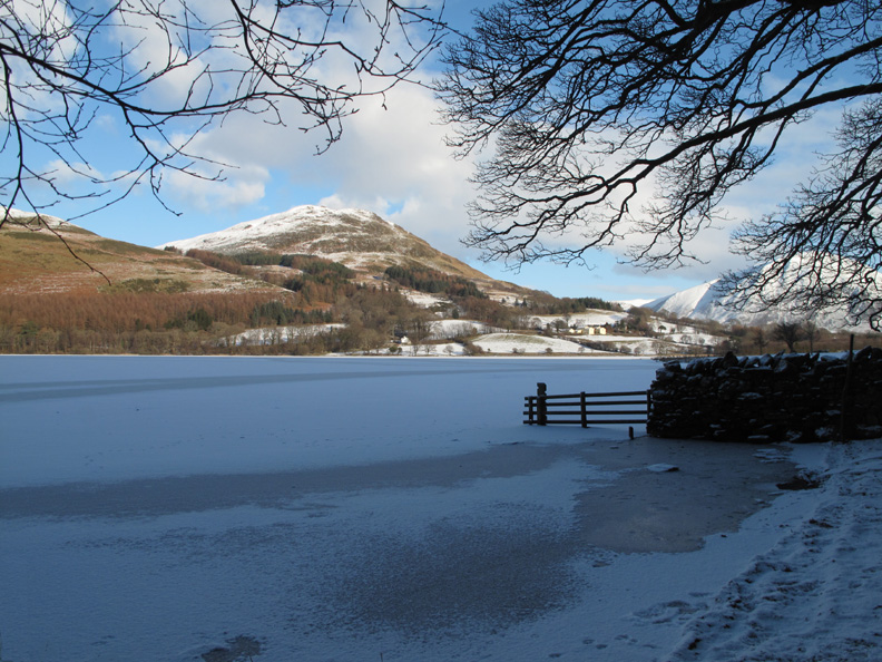
The view on a wonderful winter's day from the Bothy.
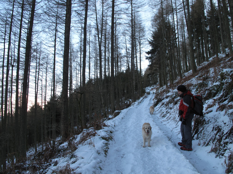
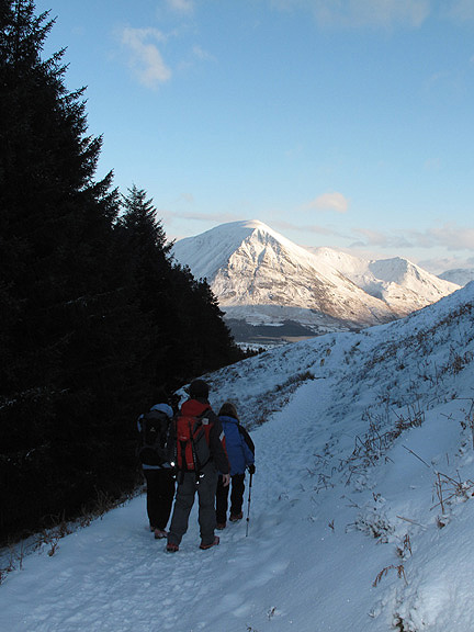
From here we strike up through the woods, following the forest tracks.
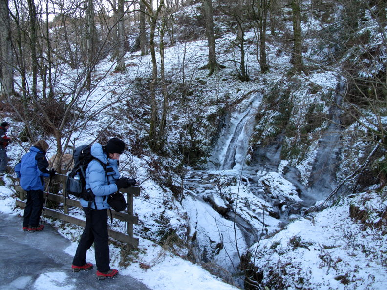
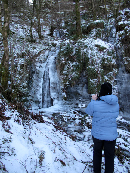
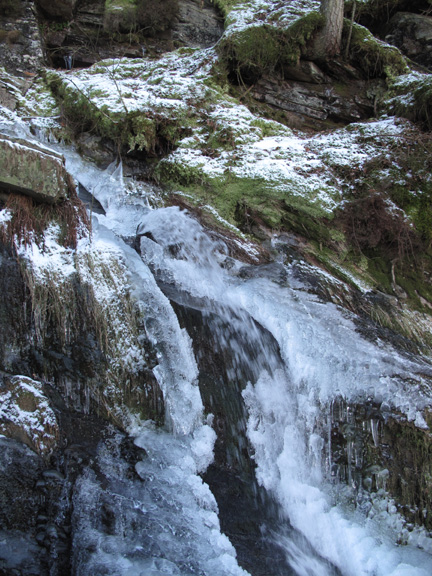
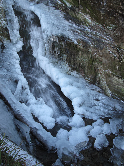
There's plenty of ice surrounding Holme Force, but look at that thick covering on the top of the bridge too.
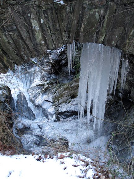
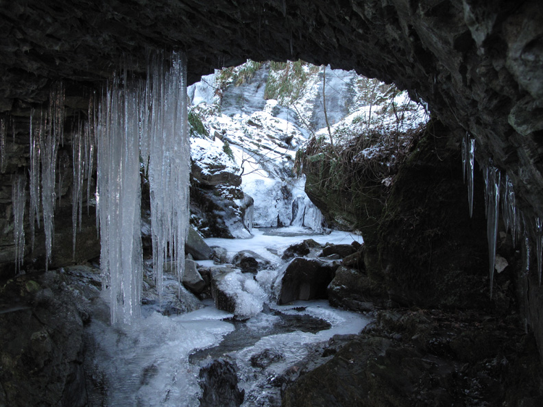
The water has percolated the stonework and produced a wonderful ice grotto below.
From here we climb further up through the woods on snow covered tracks.
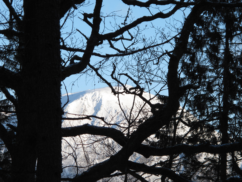
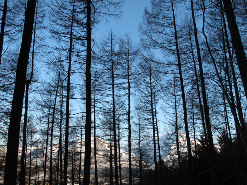
High Fells . . . higher trees.
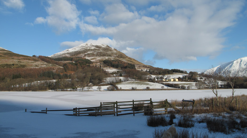
The fully frozen lake . . . this end was the last to freeze and was still clear water a few days ago.
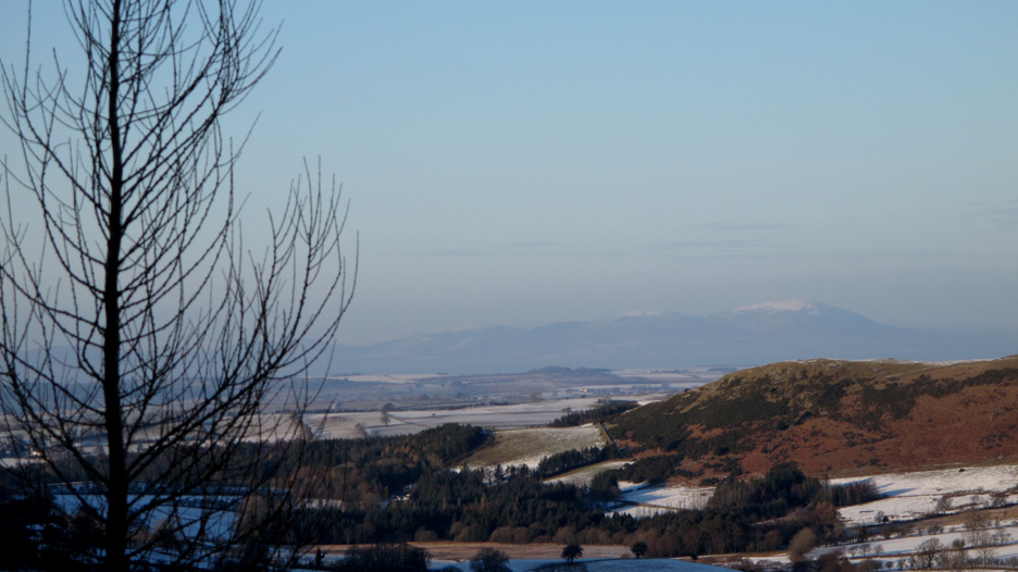
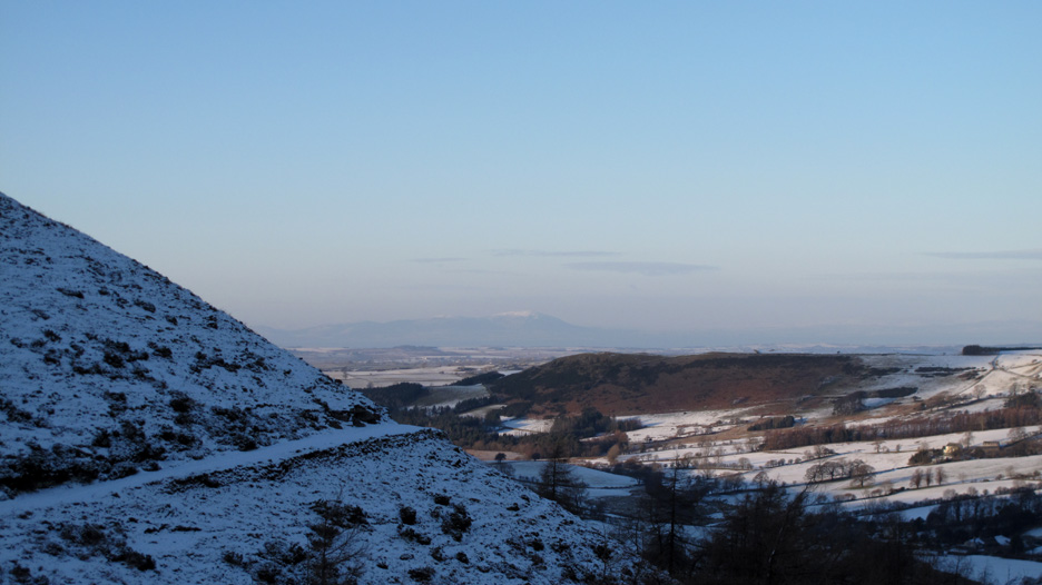
Criffel with surprisingly little snow, stands out above Askill Knott, the outlier of Darling Fell.
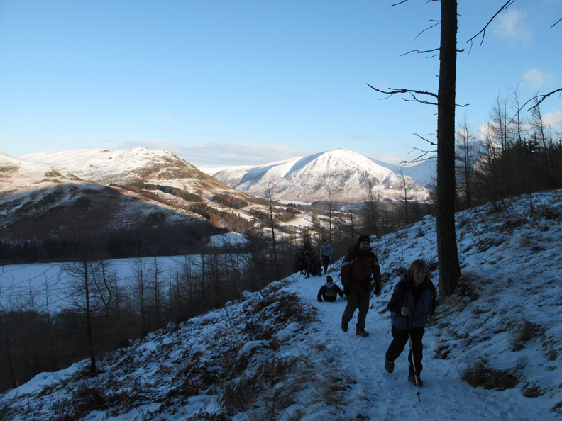
We stopped to chat to Rod and family from Eaglesfield, the only other people we saw all day. The boys were enjoying the walk, able assisted by a sledge or two. The sledges looked like skateboards without the skates to me !
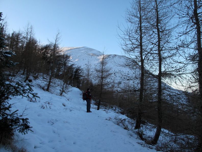
Out of the woods and onto the track below Carling Knott.
This is the continuation of the Coffin Road (with the chair) that Ann and I had been on a few days ago.
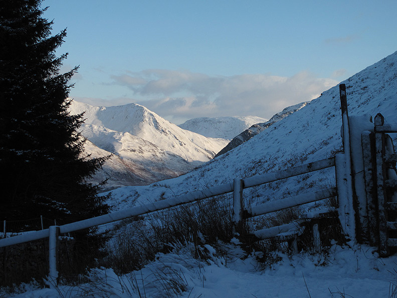
The highest point of the walk . . . the gate on the track above Holme Wood. A view of Whiteless Pike and Robinson Fell in the distance.
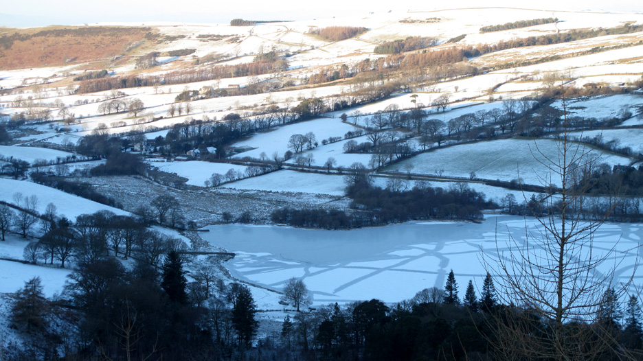
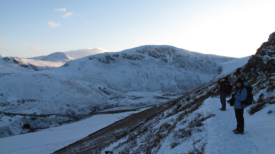
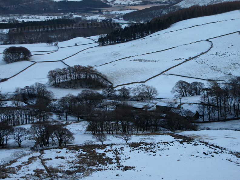
Turning the corner we are able to view the whole extent of the High Nook valley with Black Crag opposite and the diminutive High Nook Tarn, hidden under the snow below it.
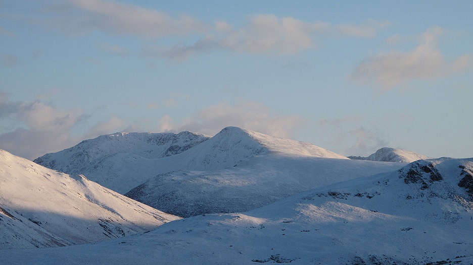
Zooming in on Red Pike and the High Stile Ridge.
Our panorama includes the side view of Mellbreak. Notice the sloping traverse route under the crags on this side which I often use. Click here or on the photo for a wider view across the valley.
High Nook Farm below us as we continue round. Apparently Alfred Wainwright stayed there several times for Bed & Breakfast whilst walking and researching the fells for Book 7.
The footbridge over High Nook Beck.
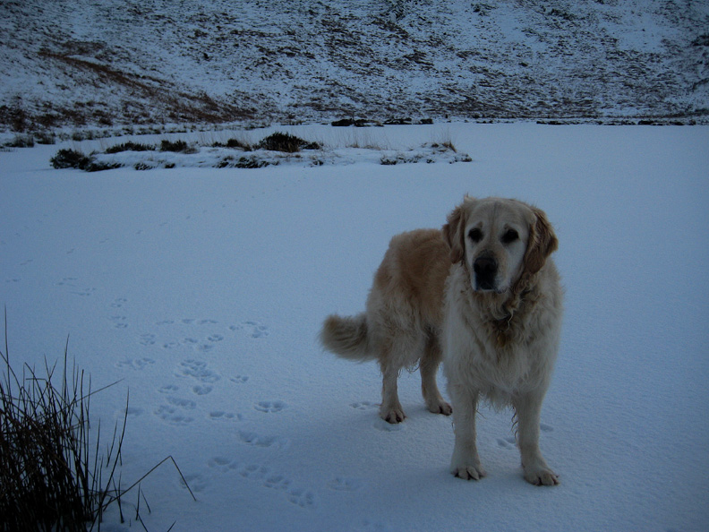
Harry walking on ice on the shallow High Nook Tarn . . . access to his island was surprisingly easy today.
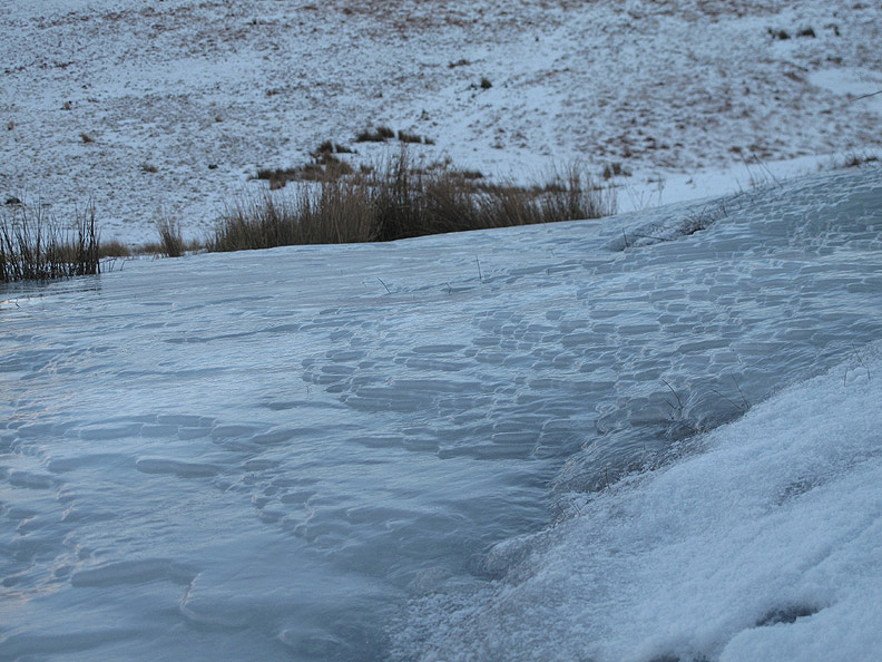
Unusually the tarn is not fed or drained by the High Nook Beck, but its outflow heads down the slope towards it and forms this large slab of sheet ice as it reaches the Coffin Road track.
Late afternoon sun again . . . Jill and Nigel are getting all the delights of this superb winter's day.
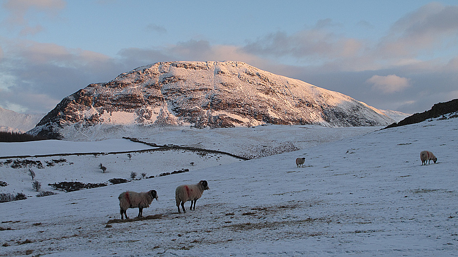
By the time we reached the farm the sun had set and the fells changed to black and white, only the sheep adding colour to the scene.
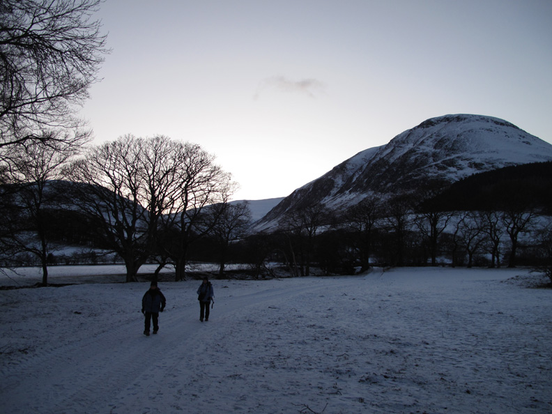
Ann and Jill walk back to the car across the meadows and we end the walk as the light starts to fade. - - - o o o - - - Check out Jill's first video report on You Tube - - - o o o - - - |
Technical note: Pictures taken with either Ann's Canon 75 or my Canon G10 digital camera. Resized in Photoshop, and built up on a Dreamweaver web builder. This site best viewed with . . . perhaps a hot chocolate drink and a slab of something similar. © RmH.2010 # Email me here # or leave me a Guest Book Entry Previous walk - 8th January 2010 Snowy Walla Crag for sunset A previous time up here - 1st May 2009 Loweswater Lakeside Next walk - 10th January 2010 Not Rannerdale Knotts
|