![]()

|
|
|
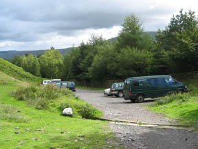
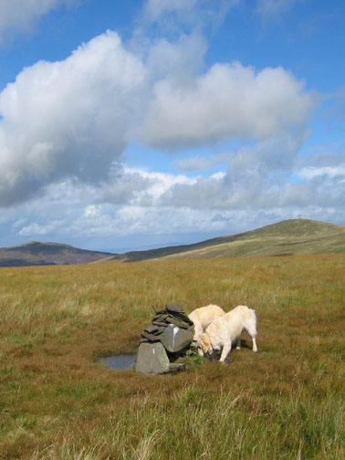
| Date & Time: 28th August 2006. 1.20 pm start. Location of Start : Car park beyond Blencathra Centre, Threlkeld, Cumbria, Uk. ( NY 302 257 ) Places visited : Glenderaterra Valley, Sinen Gill, Mungrisedale Common, Cloven Stone, Great Calva, Skiddaw House, Guide Stone and back down the valley. Walk details : 9.75 mls, 2750 ft of ascent , 6 hrs 10 mins. Walked with : Ann and the dogs, Harry and Bethan. Weather : An interesting mix of sunshine and occasional blustery showers. Very windy on Great Calva. The good car park at the end of the tarmac road. |
|
| There was a mixed forecast for weather today as we set off for the infamous Mungrisedale Common, often regarded as the most pointless, at best the "least pointed" of all Wainwright's Fells. Last time we did Mungrisedale it was on a wet, low cloud day and approached from the east underneath the back of Blencathra. It was un-inspiring to say the least. Today we opted for a southerly approach. It looks taller that way too which may help !
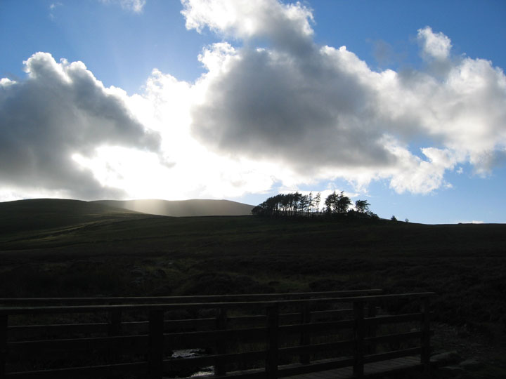
Dramatic skies and fast moving clouds over the north western fells as we start the walk.
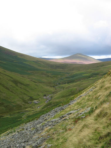
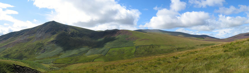
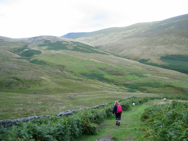
The first part of the walk is easy . . . follow the track up the valley. Lonscale Fell forms a dramatic opposite side to the valley, and Great Calva is seen further ahead.
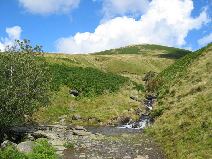
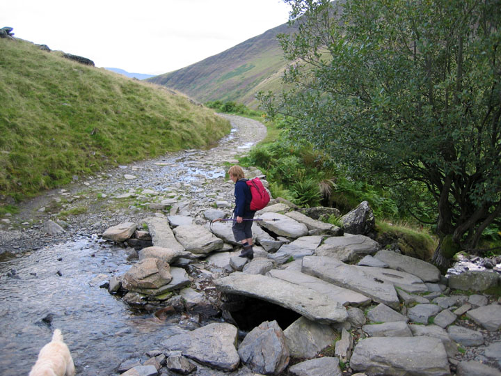
Roughten Gill, with its ford and slab stone bridge bridge. Beautifully clear water cascades past the red Rowan tree, giving a classic upland atmosphere.
The heathery slopes in the centre delight in the name of Burnt Horse. The ridge leads onto Lonscale on the left and from there it is a long but easy ascent to Skiddaw in the distance. But not for us . . . we're in search of fame, fortune and Mungrisedale Common !
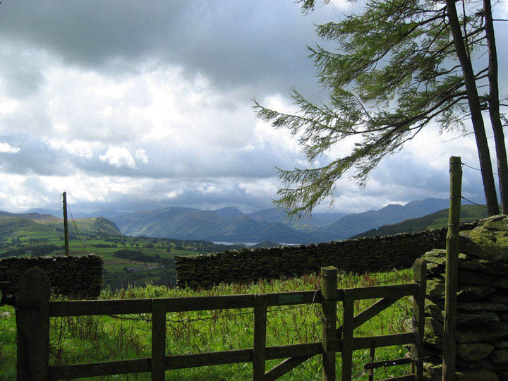
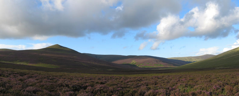
The view behind is worth turning around for as we climb the grassy uphill slope. The Central Fells seem to be catching the cloud, but Castlerigg and the local fells here are enjoying good sunshine.
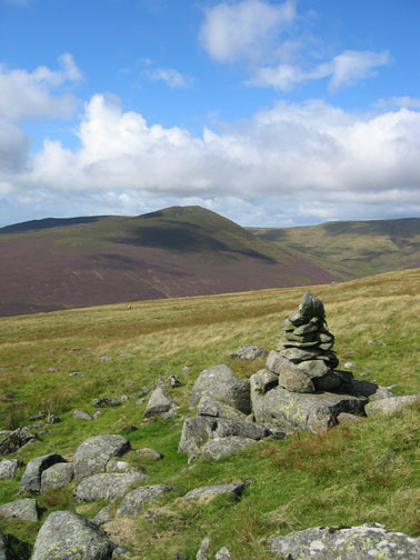
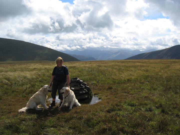
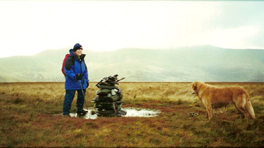
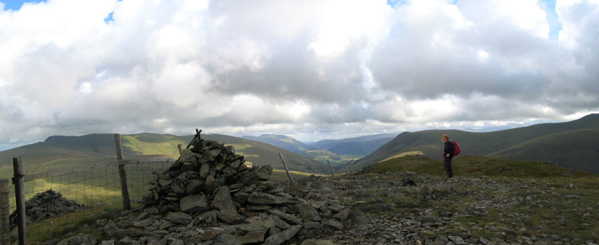
I take it all back . . . what a nice approach, and what a fine summit cairn greeted us at the top.
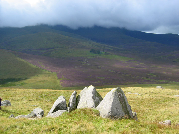
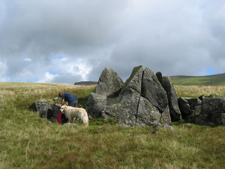
Back down the moorland slope to the rock outcrop known as the Cloven Stone, so called presumably because it is split in two like a cow's cloven hoof. Lovely sunshine and a good place for a little lunch seeing it was gone 3 o'clock.
The cloud over Skiddaw suddenly got lower, and below it was that tell tale greyness that implied rain was on its way. It definitely looked like it was heading in our direction. Lunch therefore was slightly delayed while we put on our waterproof gear.
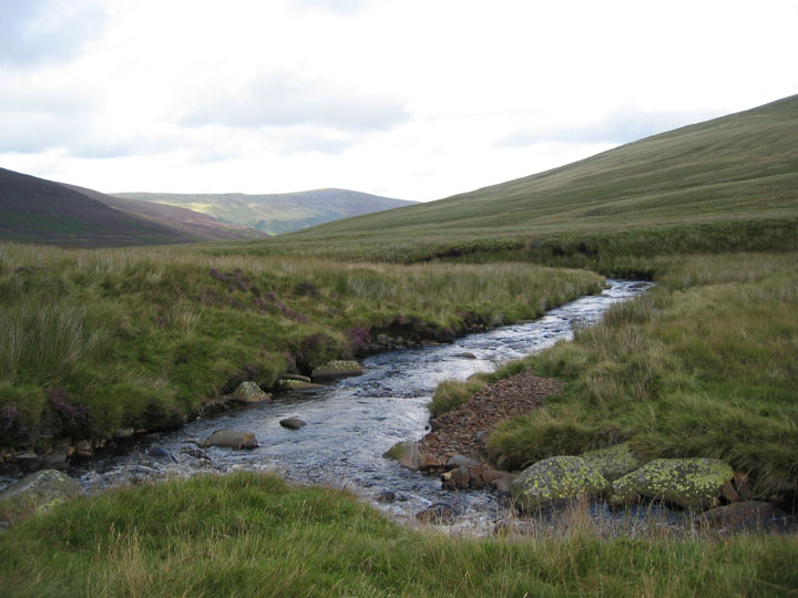
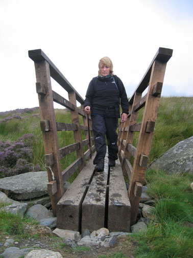
The gentle moorland slopes led down to a reasonably simple crossing of the main river, achieved by taking it in two goes, one over each of the two smaller tributary stream just above this junction.
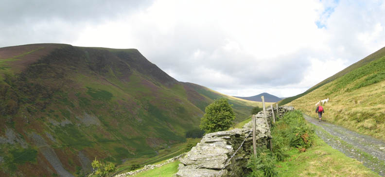
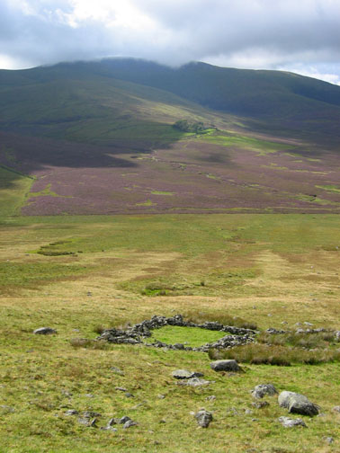
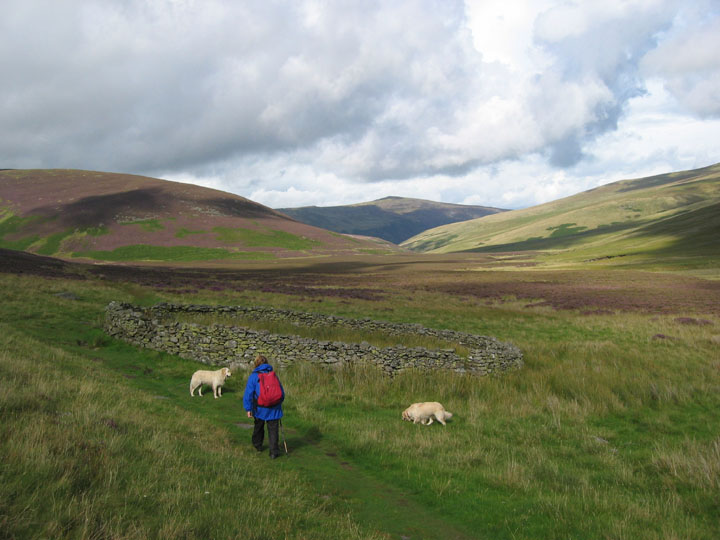
There now followed a period of strenuous walking through waist high heather before reaching the sanctuary of the Cumbria Way path. This wide bridle way skirts under Great Calva on it's journey north, passing this fine, circular sheepfold on the way.
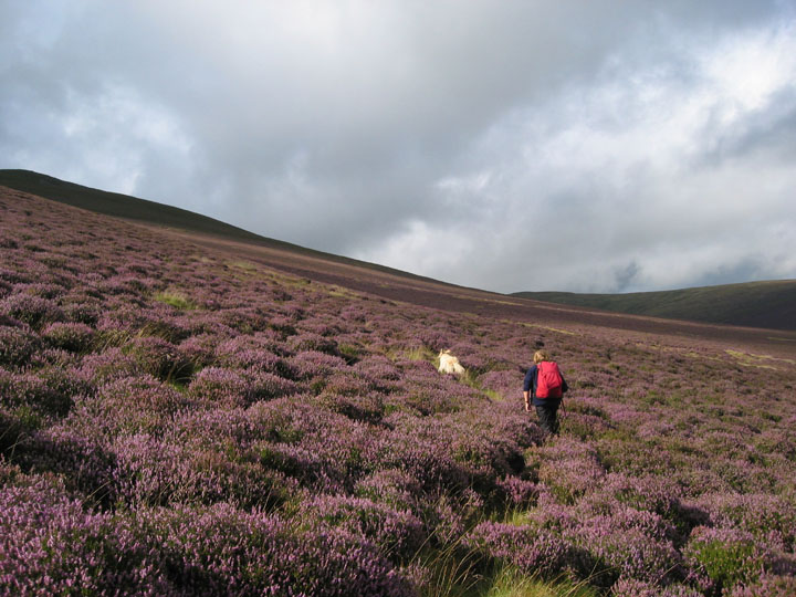
More strenuous walking again as we struck up the slope, following the sheep tracks and small stream indentations that form green access ways up through the purple carpet of heather. The summit was up there somewhere 1200 ft above us. (Note: This was only half the height of the heather we had recently struggled through)
As we climbed towards the ridge the depth of heather decreased making it easier going, but on gaining height and losing the shelter of the ridge the wind increased significantly, making the climbing more difficult again. It was a long, hard, slow climb for such a seemingly short fell.
Blue skies, white and grey clouds, but a very strong breeze as another squall passed through. Great Calva has proved a hard climb today.
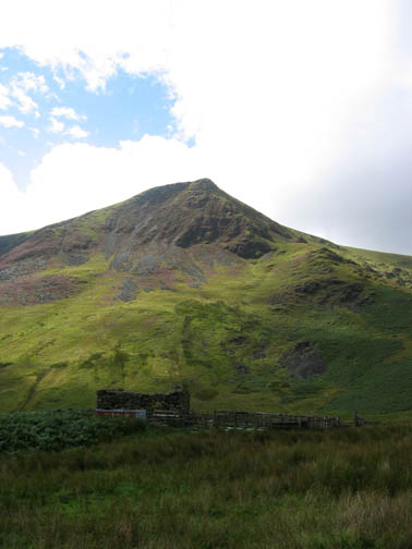
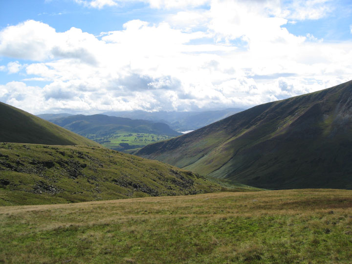
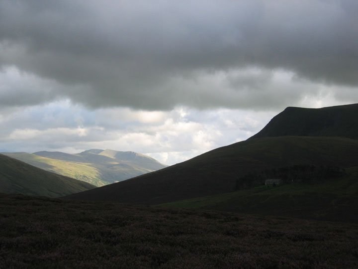
Down the direct route this time towards Skiddaw House and the Dash Falls track. Helvellyn stands out in bright sunshine, in stark contrast to the dark foreground.
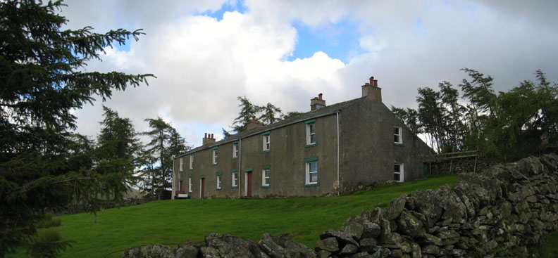
The building still looks in good shape, and a quad bike and trailer implies someone was looking after it after all. I wonder what is it's future ? Answers on a postcard or email please . . . . . to Loweswatercam.co.uk
A change of skies again as we leave the old hostel in its lofty position, sheltered by the trees.
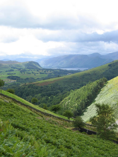
Retrospective of Great Calva and our route across the Caldew valley. The fells behind are Knott and High Pike with sunshine on The Snab, the ridge in the centre.
Evening light now as we make our way back down the Glenderaterra Valley. The path splits at the Guide Stone, a prominent rock along side the track. One path goes off right and traverses across to Latrigg. The second, our route, crosses the valley and returns towards Threlkeld.
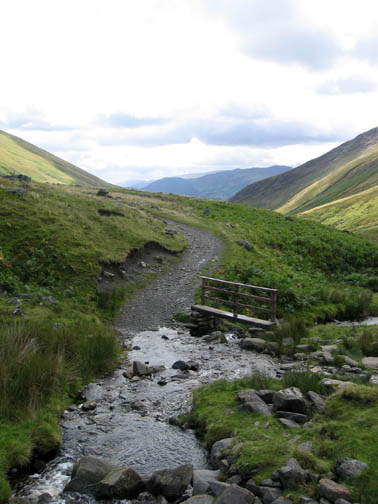
Re-crossing the Roughten Gill stone bridge means that we have come full circle. It's a mile or so now back to the car.
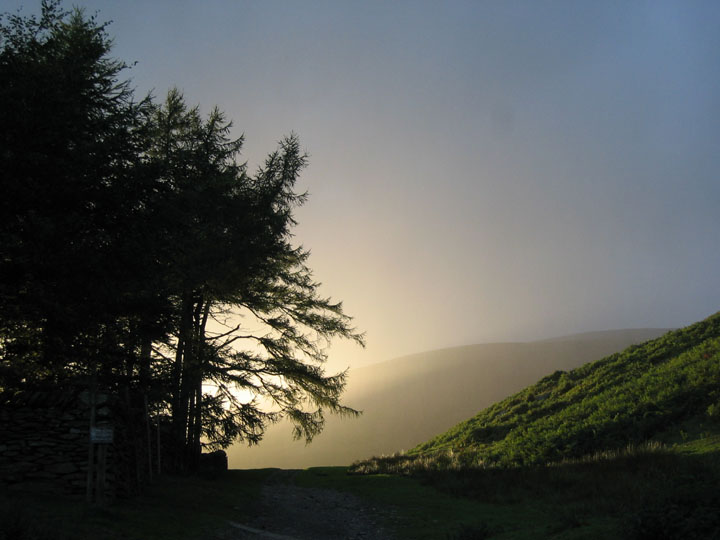
A parting shot from the car park, as we get back just in time to avoid another blustery shower which swept across our part of the fells. The last of the evening sun makes a fine display as it shines through a curtain of advancing rain.
|
- - - o o o - - - Technical note: Pictures taken with a Canon IXUS 400 Digital camera. Resized in Photoshop, and built up on a Dreamweaver web builder. This site best viewed with . . . just a slightly noticeable path through that heather. Go to Top # © RmH # Email me here # Go to 2006 Archive Previous walk - 22nd August 2006 Stoney Cove Pike and the Last of the Hartsops Previous time in this area - 18th February 2006 Lonscale and Skiddaw in the snow
|