![]()

|
|
|
|
" Stoney Cove Pike " Date & Time: 22nd August 2006. 2.05 pm start. Location of Start : Hartsop Village car park, Patterdale, Cumbria Uk. ( NY 410 130 ) Places visited : Hartsop, Wath Bridge, Gray Crag, Threshthwaite Mouth, Stoney Cove Pike/ Caudale Moor, Hartsop Dodd and a steep descent back to the car. Walk details : 6 mls, 2660 ft of ascent , 4 hrs 50 mins. Walked with : Ann and the dogs. Weather : Overcast, some nice sunshine. The forecasted poor weather never materialised. Back to the land of the pink sheep to complete our last Hartsop Fell. |
|
|
Yesterday saw us motoring over to park at Hartsop for
another excellent walk. This side of Ullswater is always so much quieter
than the fells on the opposite side, and although the car park at the
end of the village was packed, we only saw a dozen or so people who were
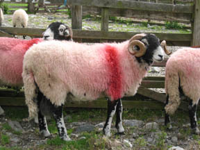
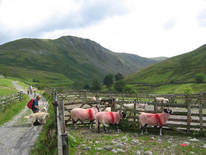
returning to their cars as we started up the track to At the start were those pink sheep again !
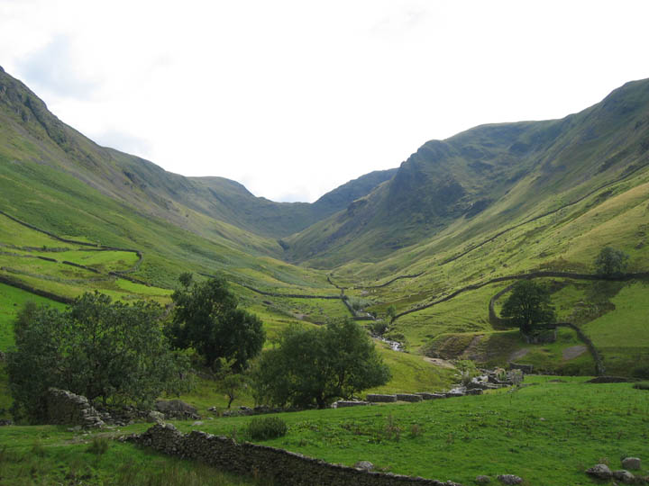
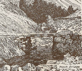
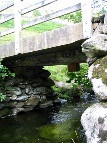
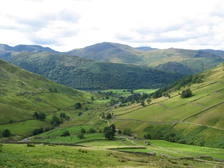
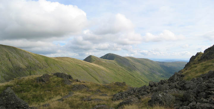
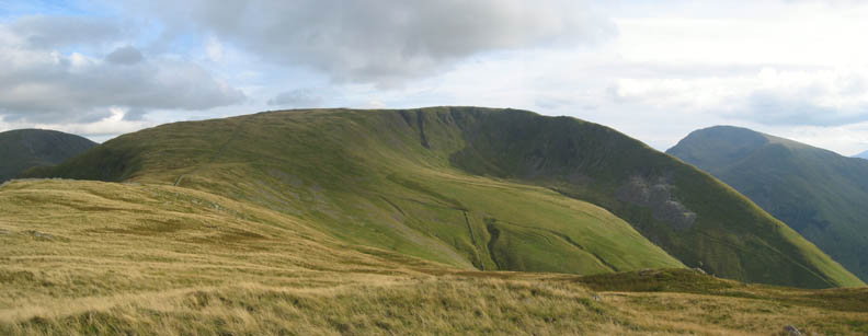
We passed the old Hartsop Mine workings as we headed up the Hayeswater track. Our route today would circumnavigate this photo. Gray Crag is on the left, Threshthwaite Mouth ahead, and Hartsop Dodd to the right.
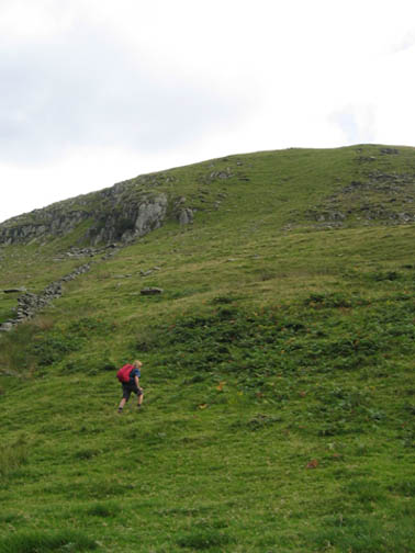
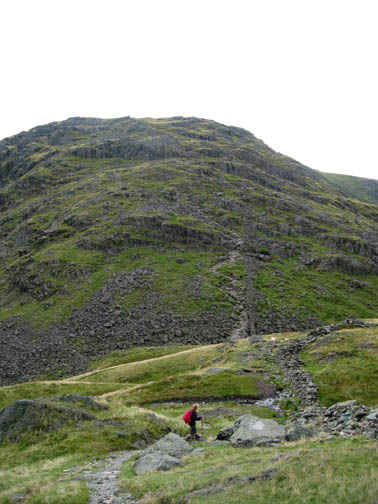
The hard work starts as we take a direct line up the front of Gray Crag. leaving the car and the village of Hartsop far below.
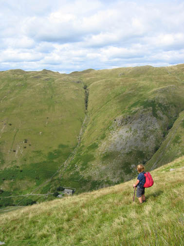
Below us was the water treatment building, nestling under the slopes of Brock Crag opposite.
Up on the top of the main climb as the slope starts to ease, we get fine views across to the Helvellyn Fells. Last time we were out in this area we witnessed the arrival of the air ambulance which attended a mountain rescue on Striding Edge. Today again the helicopter was out again and this time settled on Hartsop above How, the wooded ridge opposite, presumably to attend to another casualty. - - - o o o - - - The Air Ambulance is becoming an essential extra in mountain rescue it seems. It is a charitable organisation relying on voluntary contributions from the public. Your assistance can help. - - - o o o - - -
Gray Crag cairn, our first summit and our first view south.
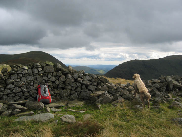
" Can't see anywhere better for lunch." As we ate our late lunch at the wall beyond Gray Crag
summit, the clouds were bubbling up which seemed to be confirming the
poor weather forecast.
However the dark clouds passed over without incident and we went on to enjoy the gentle traverse of the summit ridge. We decided to cut down to Threshthwaite Mouth without making the full ascent of Thornthwaite Crag up to the right.
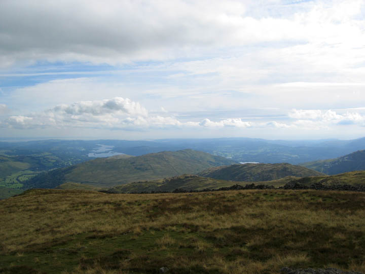
Sunny skies again over the dramatic ridge of Ill Bell and Froswick, part of the Kentmere Round.
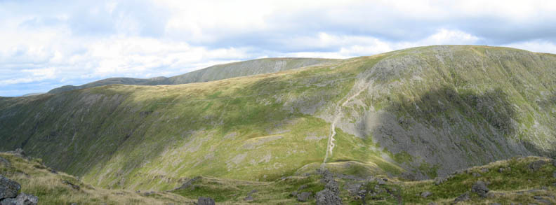
Caudale Moor is in fact a broad flat summit, the highest point of which is known as Stoney Cove Pike. This is the flat top looking north, showing some of the minor lumps and bumps. Not a good place to loose your bearings if it gets misty.
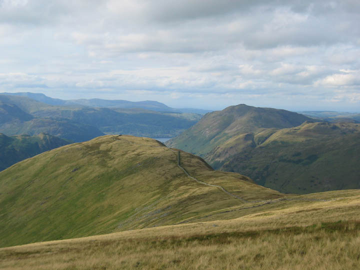
Crossing the top and looking west this time, over to the Scafells and the unmistakable summit of Great Gable to the right.
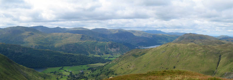
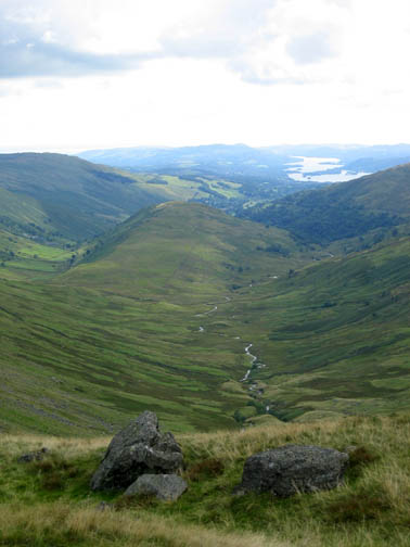
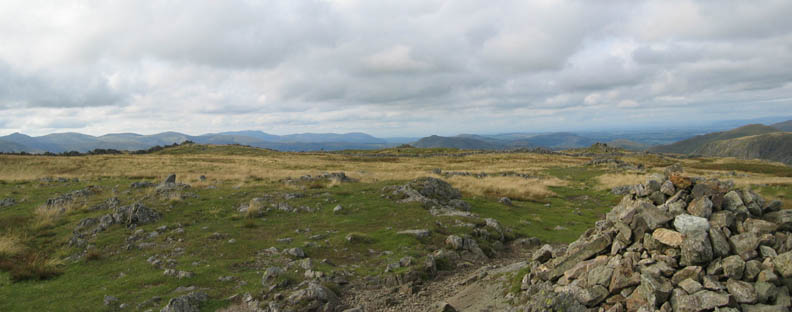
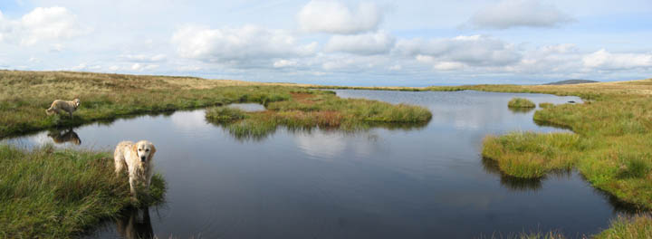
South to Wansfell and Windermere. Visibility was good today, if a little hazy long distance. Click here or on the photo for a wider south eastern panorama
The large Caudale Tarn, surprisingly un-named on the map.
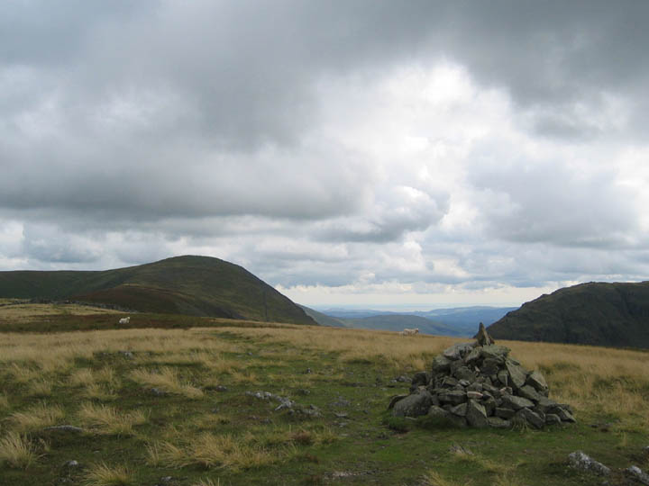
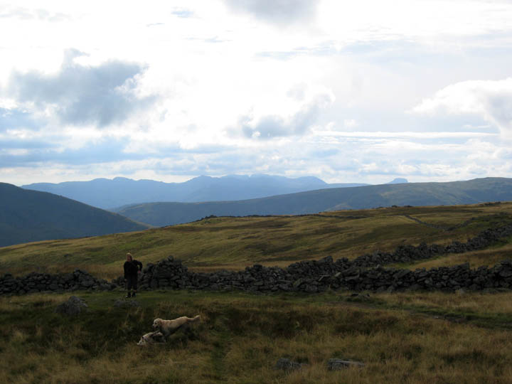
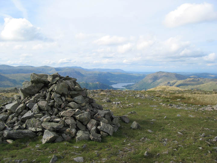
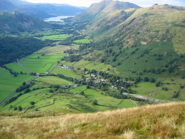
The large cairn on Caudale Head looking north to Ullswater and Place Fell.
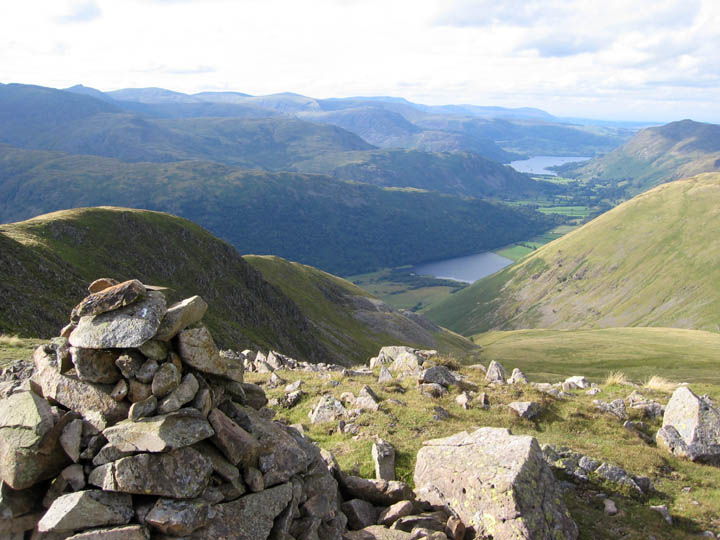
The secondary cairn on the edge of Caudale Head, looking down on Brothers Water this time. Below are the spoil heap and remains of the Caudale Quarries, on the side of Rough Edge.
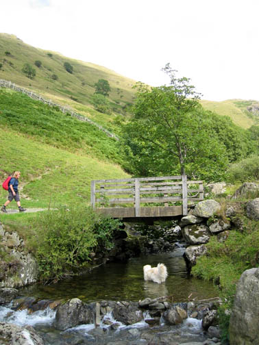
The final part of the walk would take us down alongside the wall on Hartsop Dodd.
A retrospective view of our route along the ridge of Hartsop. The quarries catch a patch of sunlight and stand out grey against the green upland grass.
Hold on to your hats . . . a final quick descent back to the village and the waiting car.
|
- - - o o o - - - Technical note: Pictures taken with a Canon IXUS 400 Digital camera. Resized in Photoshop, and built up on a Dreamweaver web builder. This site best viewed with . . . a slightly more accurate weather forecast ! Go to Top # © RmH # Email me here # Go to 2006 Archive Previous walk - 16th August 2006 Birkhouse Moor, Catstycam but no "Edges" A Previous time in the area - 6th May 2006 The Kentmere Round with the OFC
|