|
|
|
 |
Remember: Press F11 for a
full screen view of this page. |
Web Counter when published 2
122 050 |
|
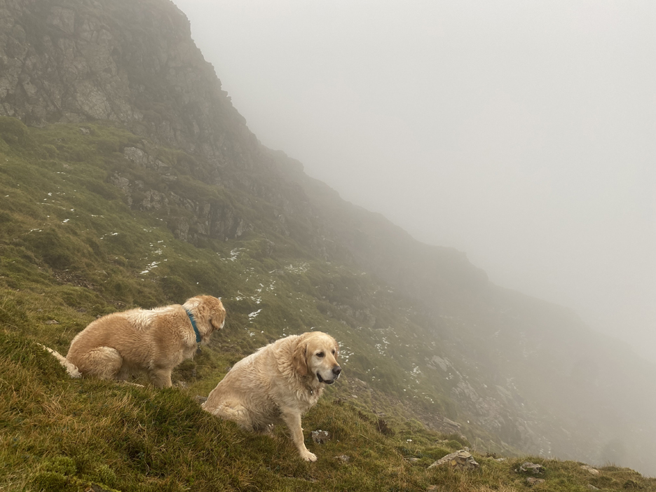
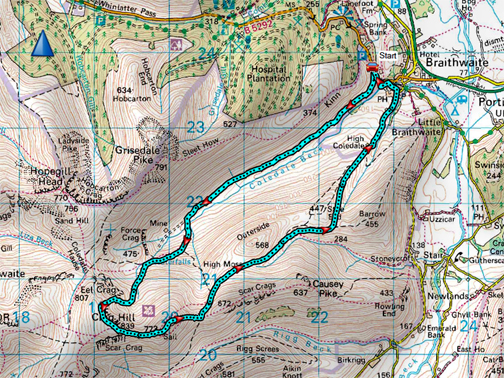
" Mockerkin Mob - Tower Ridge " Date & start time: 12th November 2023. 9.30 am start. Location of Start : Coledale Mine Track, Braithwaite, Cumbria, Uk. ( NY 143 211). Places visited : Coledale Valley, Tower Ridge, Crag Hill, Sail, Barrow Door, Braithwaite. Walk details : 7.6 miles, 2600 ft of ascent, 5 hours. Highest point : Crag Hill (Eel Crag), 2,749ft - 839m. Walked with : Myself, Jo plus eight others and the dogs, Woody, Dylan and Dougal. Weather : A nice day in prospect but the weather turned earlier than forecasted.
|
© Crown copyright. All rights reserved. Licence number PU 100034184. |
|
The Mob are out again, this time for an "A" walk which takes us up through the crags to a classic Wainwright top but using a less frequented route. An prompt start was to our advantage as the poorer weather came earlier than expected, especially as high up on the fells the upland location emphasised the apparent change of season from mild autumn to cold winter.
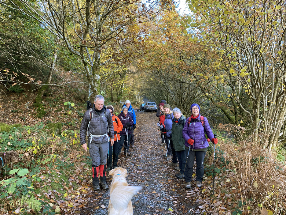
The Mob today numbered ten folk as we headed out from the car park at the start of the Coledale Mine track above Braithwaite. We don't actually walk in two lines, it's just what happened when I asked everyone to spread out for an initial group photo.
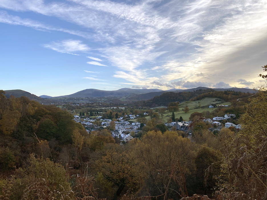
The village of Braithwaite below us as we head up the mine track. High cloud is gathering over the Helvellyn Range . . . that's not due here till 3 o'clock if the forecast is accurate.
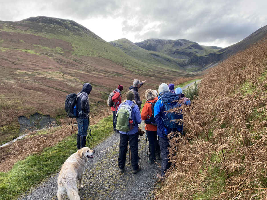
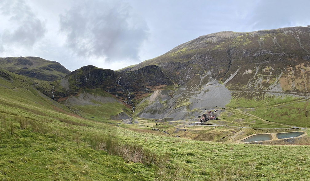
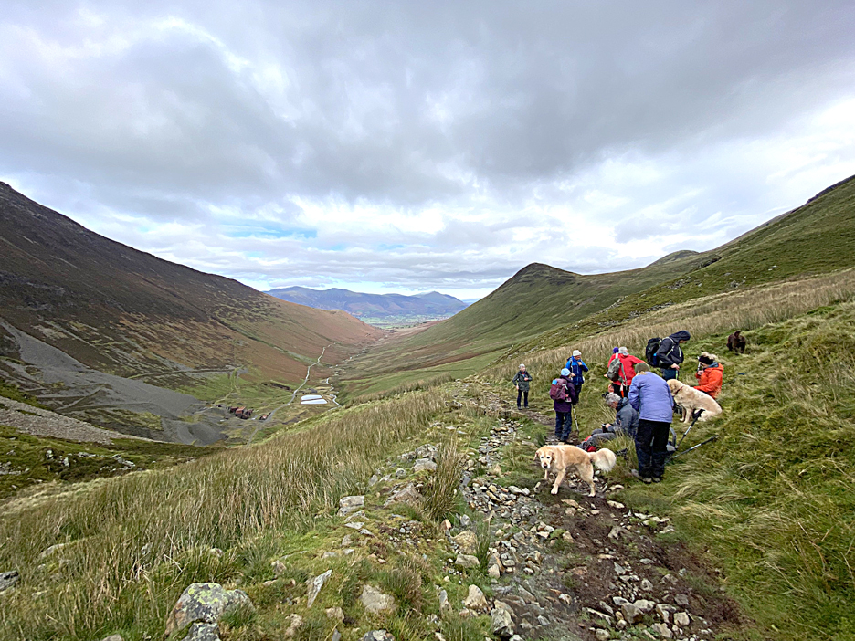
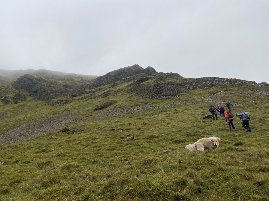
Our pre-walk talk was delayed a few minutes until we had rounded the first corner and saw our route laid out ahead. Richard, who led this walk, pointed out Crag Hill (Eel Crag)at the head of the valley and Tower Ridge, the rocky central outcrop that we aimed to climb today.
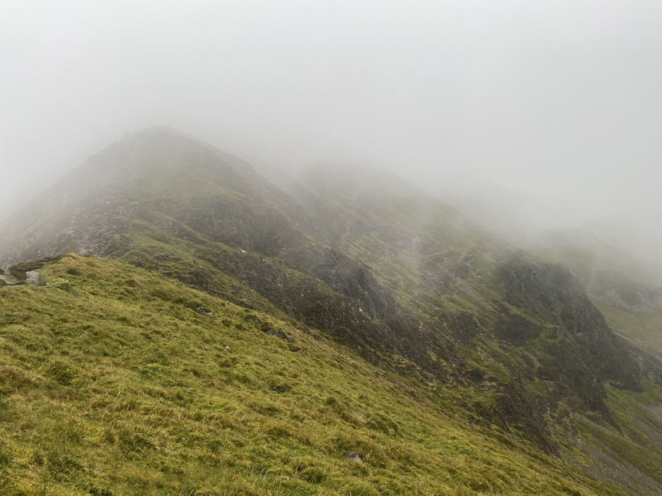
Tower Ridge is the triangular outcrop of rock that rises above the grassy rake, seen climbing diagonally across the face of the fell. Crag Hill has two summits and two names. Technically Eel Crag is the right hand end, with Crag Hill being the left hand, rounded and higher summit of the same fell. ( Photo by Jo Hall, with thanks)
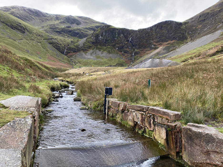
Having all but reached the Coledale Mine, we cross the river onto the start of a rising track that would ultimately lead up to Coledale Hause The major reason for its size and importance at this point was as a mine track leading to the upper levels of the old mine.
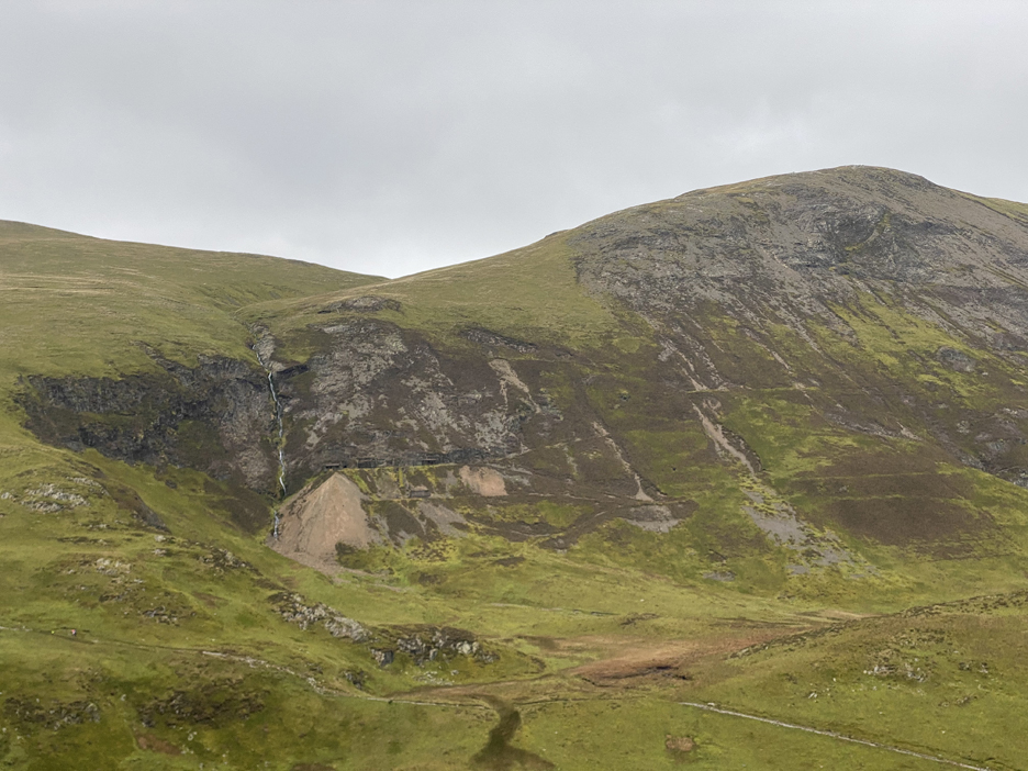
As we head up the track we can look across to the remains of the Force Crag Mine This was originally started as a lead mine in 1839 but became important for zinc and finally barytes before it finally closed in 1991. It is now in the care of the National Trust, who occasionally offer above-ground tours for the general public.
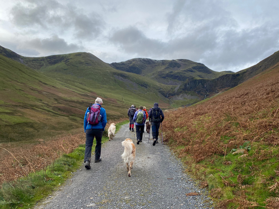
We start to gain altitude rather more quickly as we climb towards Force Crags and the waterfall.
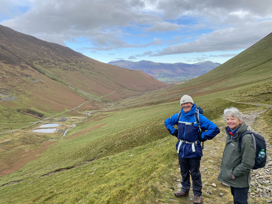
Looking back down the valley with Peter and Sue in the picture. Down in the valley the two symmetrical lakes are modern settling ponds, built to catch any metal pollution seeping from the old mine.
Further up we stopped for a quick coffee at the point where we intend to leave the track and head up towards Tower Ridge. Conveniently the stop coincides with 11am on this Remembrance Sunday, so we also pause and observe a minutes silence. - - - o o o - - -
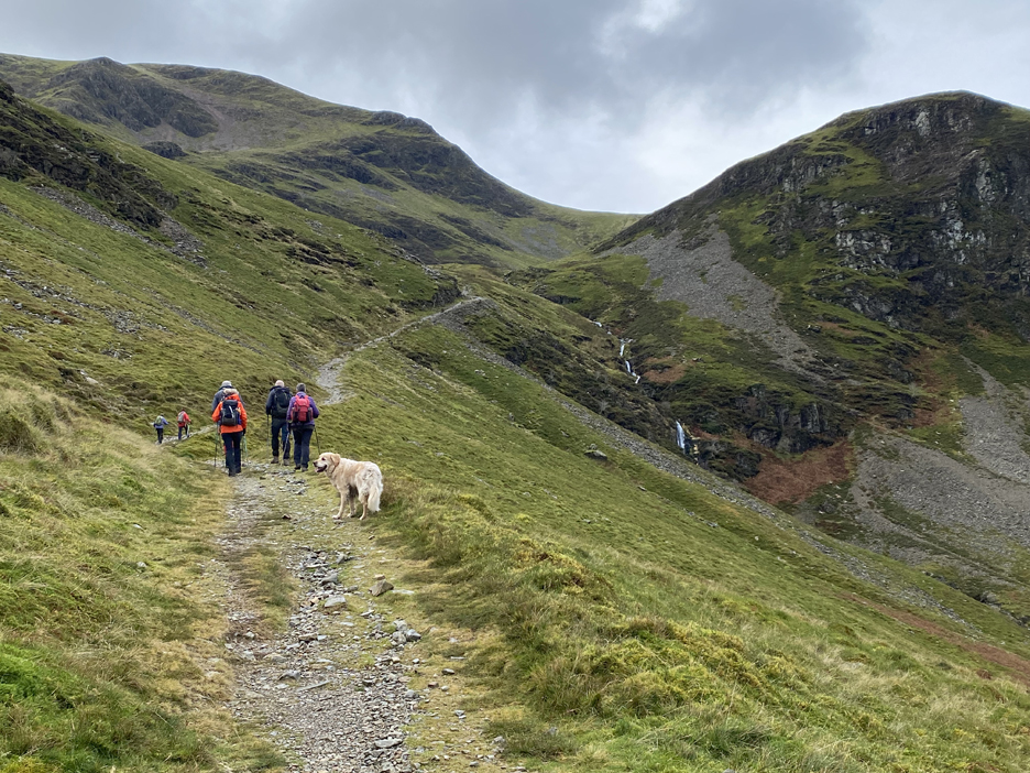
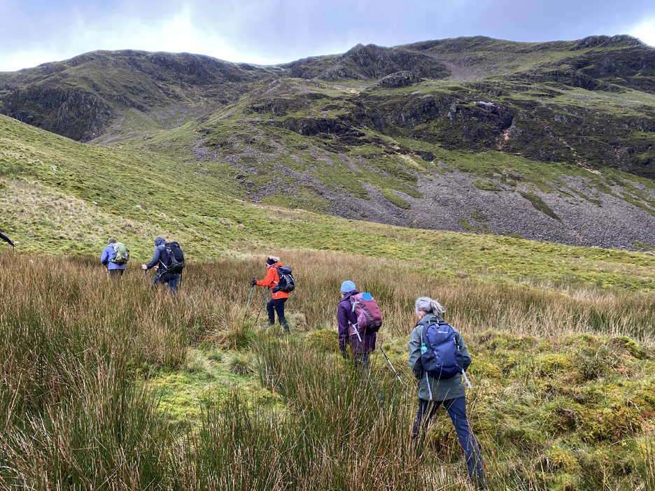
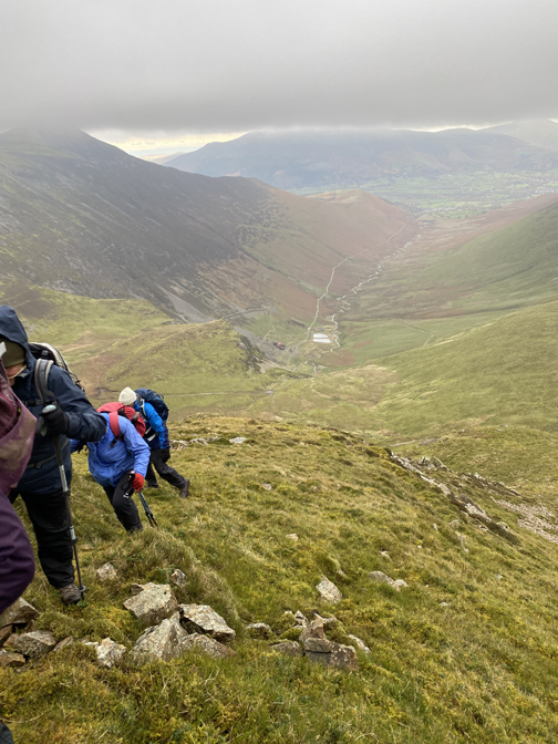
Our route now heads upward once again, crossing the rough ground towards the crag with the 'v' notch high above us.
The track we left is now far below us and can be seen in the lower part of the photo. On the side of Grisedale Pike opposite are the surface workings and tracks associated with the upper levels of the Force Crag Mine.
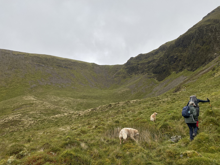
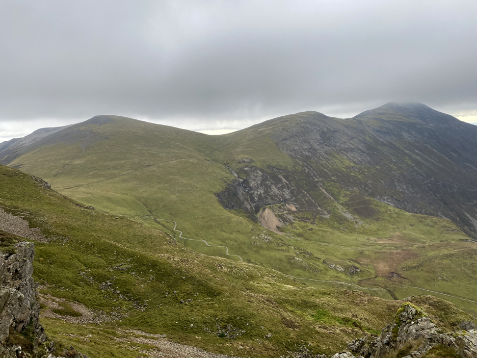
To our left a dry upland corrie under Scott Crags and the ridgeway climb from there to Sail Fell that we'll be walking later.
It was about here that we realised Richard was actually taking us up the rocky outcrop itself rather than the grassy rake to the side. To be fair, he had described it exactly as such in the introduction, but I for one thought he'd find a grassy route up through the rock. No, it was the full monty . . . a rock scramble up the ridge . . . however steep it was it wasn't anything we hadn't experienced before.
Scrambling up between the crags, a pause for breath allowed us more extensive views across the valley which now included the summit of Grisedale Pike, with it's head in the cloud for the first time today.
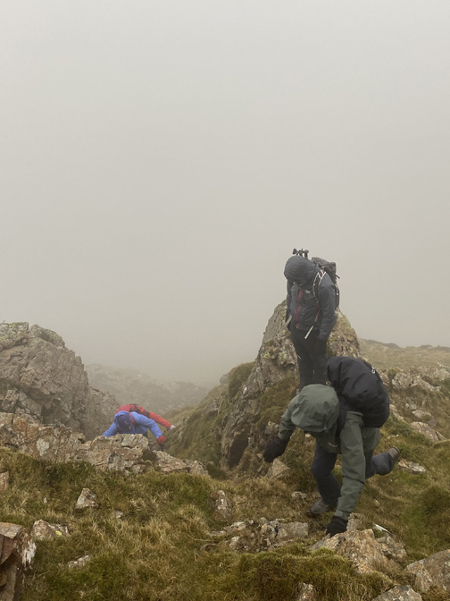
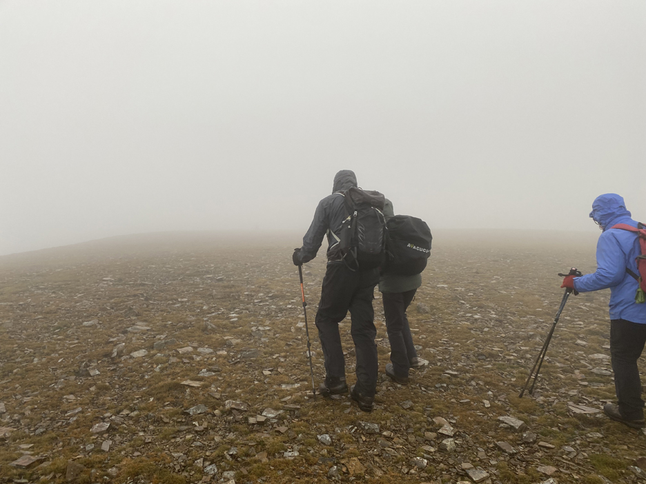
As a result two of the group had decided it was time to peel off and seek less vertiginous ground, so they made their way back down together. The rest of us continued on but the climb was now needing the extra care that well placed hands and feet would provide. The mist started to include occasional drops of rain and then gradually held more consistent moisture !
As we neared the top of the climb the cloud obscured the distant views and we crossed a faint snow line, all that remained of a winter shower from recent days.
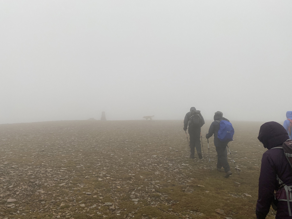
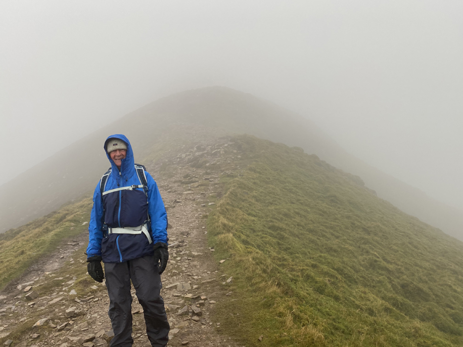
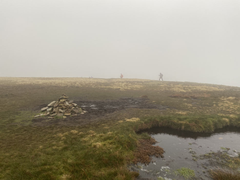
The ridge was successfully climbed and that feeling of slight euphoria from completing a challenging route was nicely warming inside. Fortunately the rain had also eased as we made the flat top of the fell . . . somewhere up here is a trig point !
We followed the curvature of the fell towards the highest point and sure enough there it was.
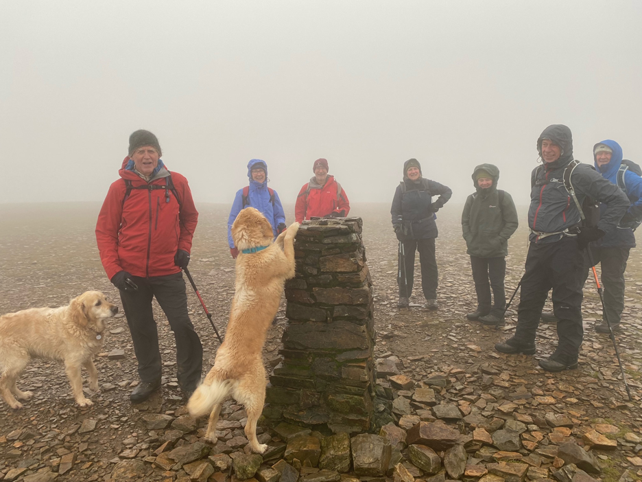
A quick photo by Jo of the summit party on the top of Crag Hill. Visibility was sufficiently good that we didn't lose orientation, so we headed off towards the correct descent path to Sail Fell without problem.
The exposed top of the summit and subsequent ridge line we were open to the full gusts of the westerly wind. Add to that a light but steady sprinkle of freezing cold rain and our waterproof clothing was being appreciated to the full.
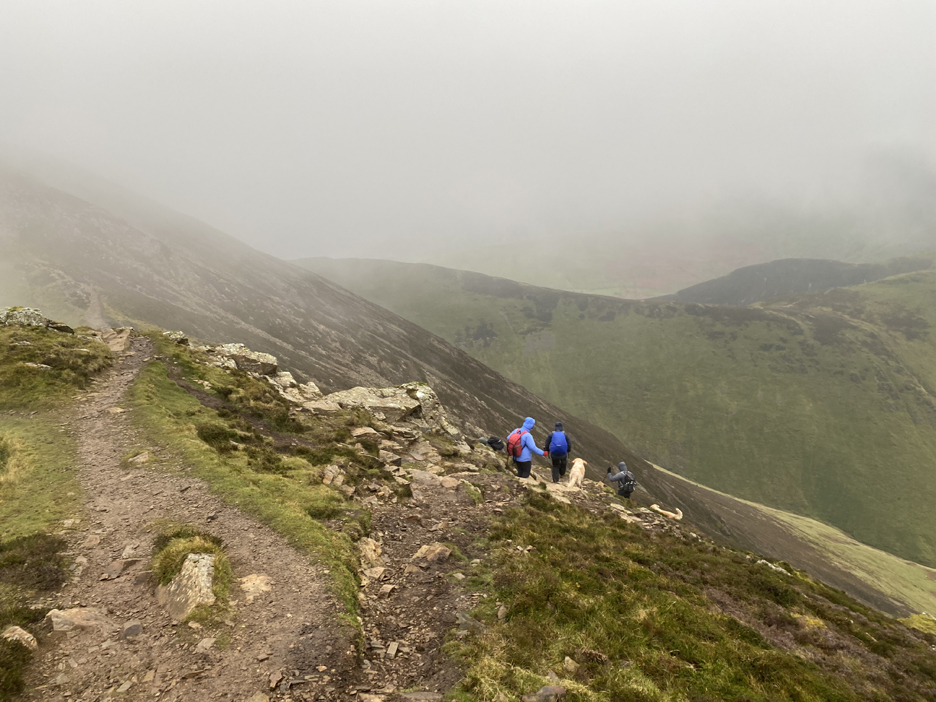
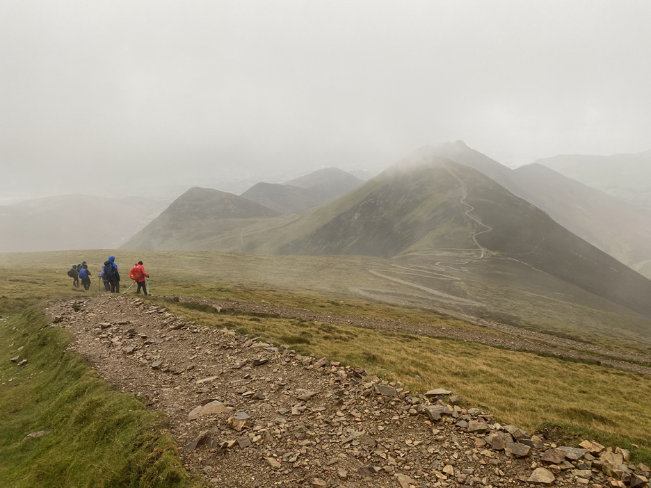
Ahead now and the ridge towards Sail has a few crags of its own to contend with but a path diversion took us around these without problem.
Once again looking back at the way we had come.
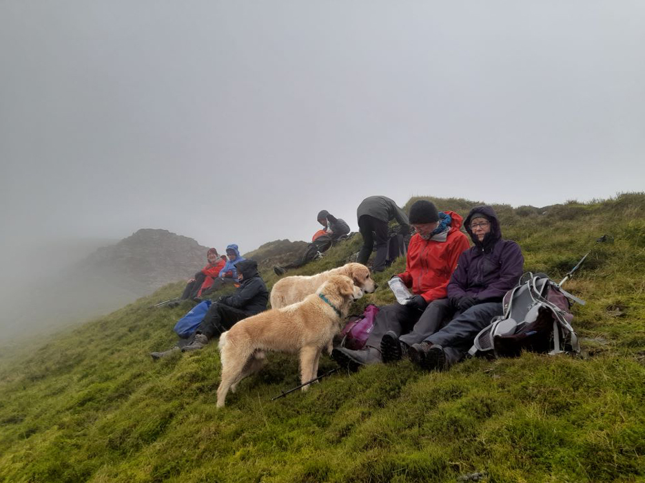
As the path dropped slightly to the sheltered side of the ridge we were protected from the weather. This made a good spot to stop for lunch . . . a bit of a view . . . no wind to blow the sandwiches and sit mats away. ( Photo by Peter B, with thanks)
Onward and upward once more, but the path by-passes the true summit of Sail Fell. I diverted slightly to take the photo and to watch the others heading off into the cloud . . . time to catch up !
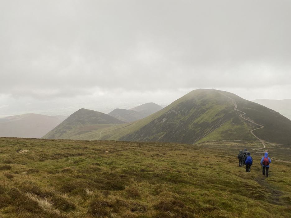
From the top of Sail the path becomes a wide machine made track which zig-zags horribly down the fellside towards Scar Crags.
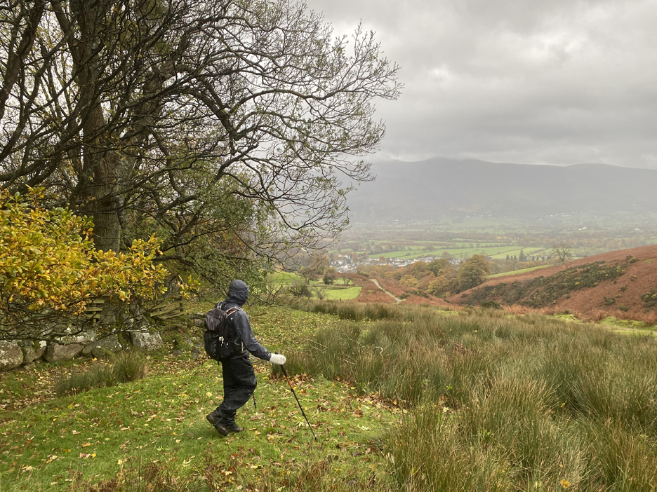
The direction of the track was so unnatural that many of the group avoided the largest of the bends. Ahead of us was the ever clearing view of Outerside, Stile End and Barrow, fells that we would pass on the way down. We turned left before Scar Crags and headed down via High Moss on the Stonycroft Gill track.
The path junctions at Barrow Door. We declined on climbing Barrow today and instead turned left at this point and headed directly for High Coledale and Braithwaite. [ Few photos for this last section due to keeping hands nicely warm in my gloves and the camera tucked away in the dry]
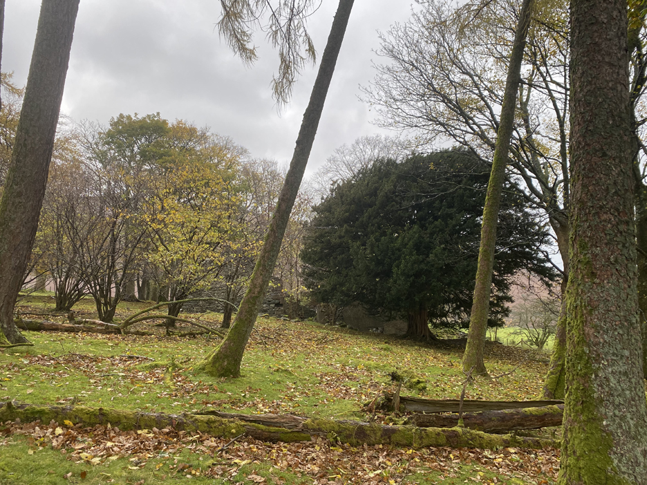
The ruin buildings of High Coledale that were passed on the way down.
Richard leading the way to the old farm track.
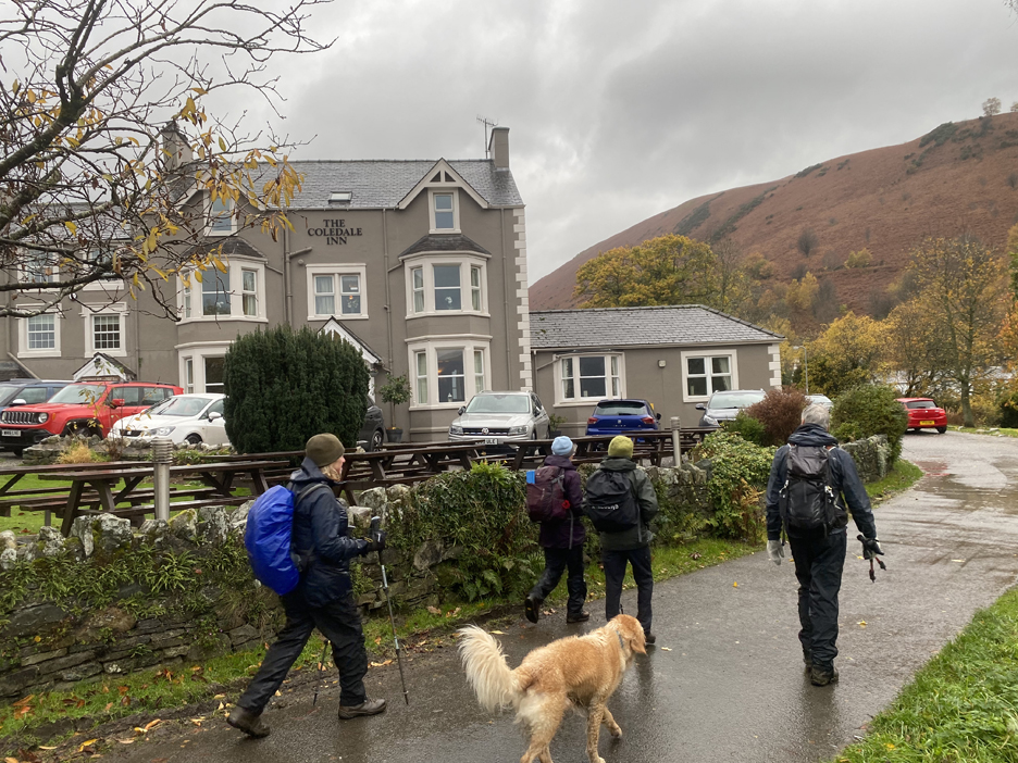
There was a slight debate about where to end the walk, but we decided that the Coledale, despite being dog friendly, really wouldn't appreciate eight wet walkers and two wet dogs who were happy but slightly tired at the end of the five hour walk.
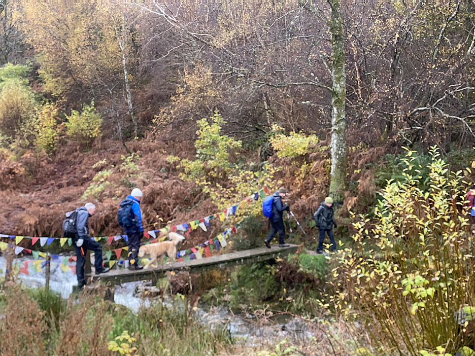
Anyway, we hadn't finished the walk as the cars were on the other side of Coledale Beck. The small footbridge down by the small Church was well decorated and well maintained and gave us easy access to the Whinlatter Road and the car park just a short way up the hill. Thanks Richard for an interesting walk. - - - o o o - - - Technical note: Pictures taken with my iPhone 11pro mobile phone camera. Resized in Photoshop, and built up on a Dreamweaver web builder. This site best viewed with . . . someone who has walked the route before. - - - o o o - - - Go to Home Page . . . © RmH . . . Email me here Previous walk - 11th Nov 2023 - Honister Vintage Car Event A previous time up here - 11th April 2021 - Four Seasons Causey Pike Next walk - 25th Nov 2023 - Siddick Ponds Murmeration Black Friday, Green Monday, Giving Tuesday . . . whatever your reason to buy, how about a Loweswatercam Calendar for Christmas presents.
|