|
|
|
 |
Remember: Press F11 for a
full screen view of this page. |
Web Counter when published 2
073 210 |
|
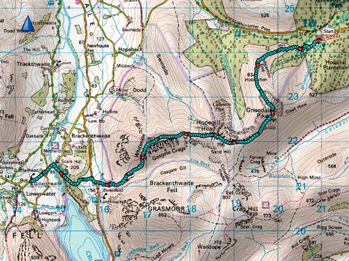
" Whinlatter to Home with Abi and Em " Date & start time: 4th April 2023. 11.10 am start. Location of Start : Revlin Moss car park, Whinlatter, Cumbria, Uk. ( NY 143 211) Places visited : Grisedale Pike, Hobcarton, Hopegill Head, Whiteside, Lanthwaite Green. Walk details : 6.9 miles. 2,325 ft of ascent. 2.975 ft of descent. 5 hours. Highest point : Grisedale Pike, 2,593ft - 791m. Walked with : Abi and Emilia, myself and the dogs, Dylan and Dougal. Weather : Sunshine and great visibility (apart from haze) but a cool breeze at times.
|
© Crown copyright. All rights reserved. Licence number PU 100034184. |
|
The weather forecast for today was excellent, sunshine and a gentle breeze, for this linear walk from Whinlatter over Grisedale Pike, Hopegill and back via Whiteside and Lanthwaite Green to home. Loes dropped us off at the start before she left for Yorkshire and we set off on this high level classic.
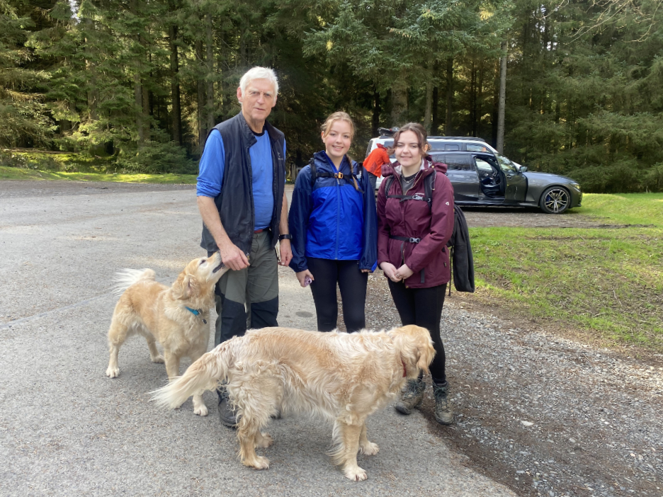
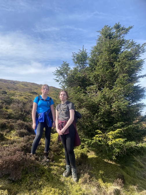
Our group photo at the start of the walk . . . myself, Abi and her friend Emilia. We were fortunate that Loes could drop of us off at the secondary Whinlatter car park to enable this linear walk today.
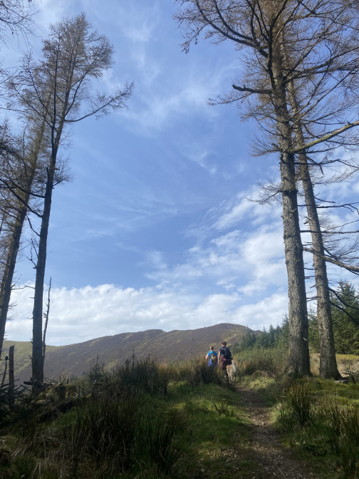
We met an early morning runner who had already summited Grisedale Pike and was now on the way down. He said he rarely saw folk climbing the fell using this route so the path must be worn by everyone descending in that case ?
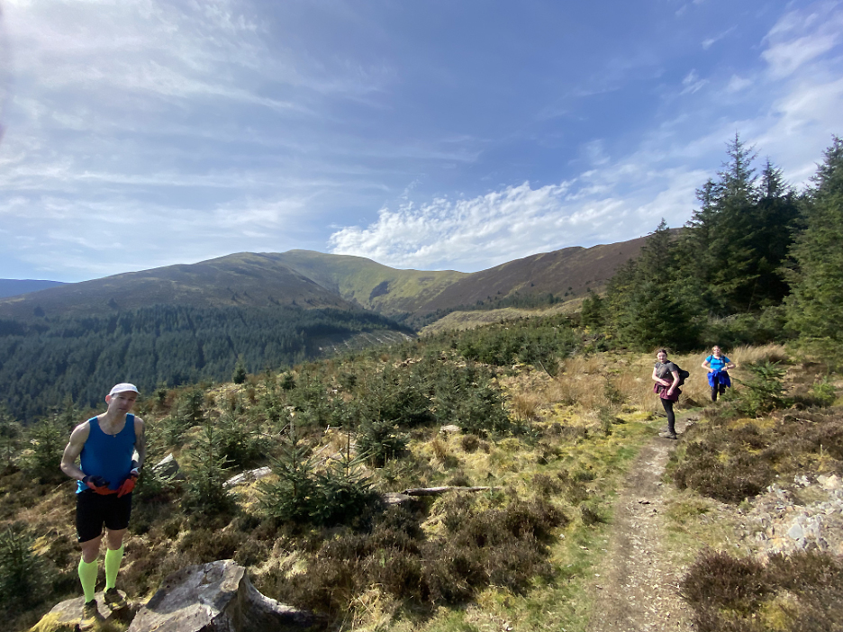
As we climbed, the route gives equally good views as the alternative direct climb of Grisedale Pike. We're looking to Skiddaw and then north east to the Mell Fells and Clough Head, in this photo taken by Abi.
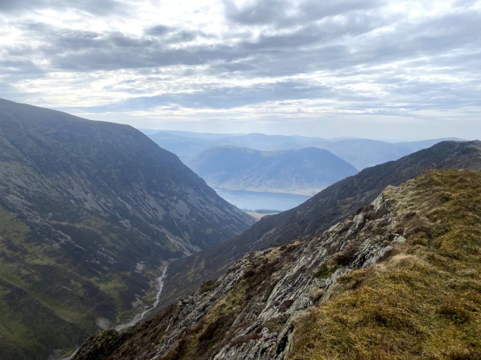
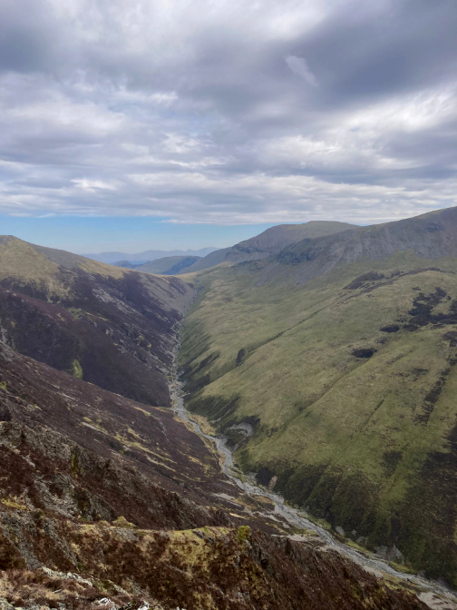
This route has the advantage of lovely views down into the Whinlatter Valley and the road over Whinlatter Pass.
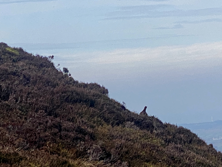
A sudden low chirping, almost nasal squeal and a furious flapping of wings could only be one bird . . . the red Grouse Our passing had disturbed two birds from the footpath, one of which was captured on camera as it waddled away over the skyline.
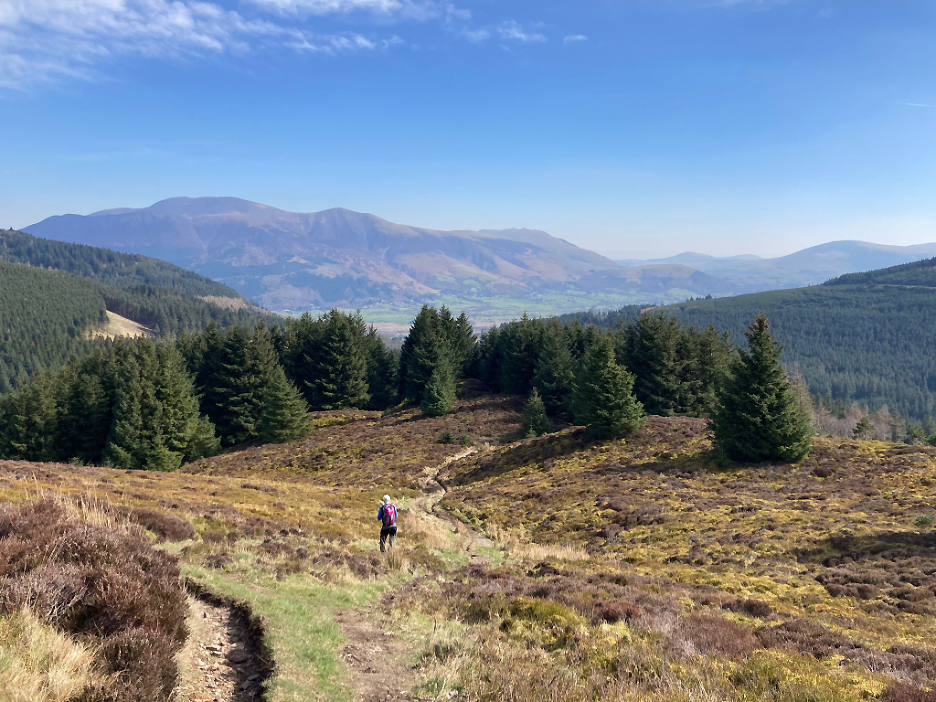
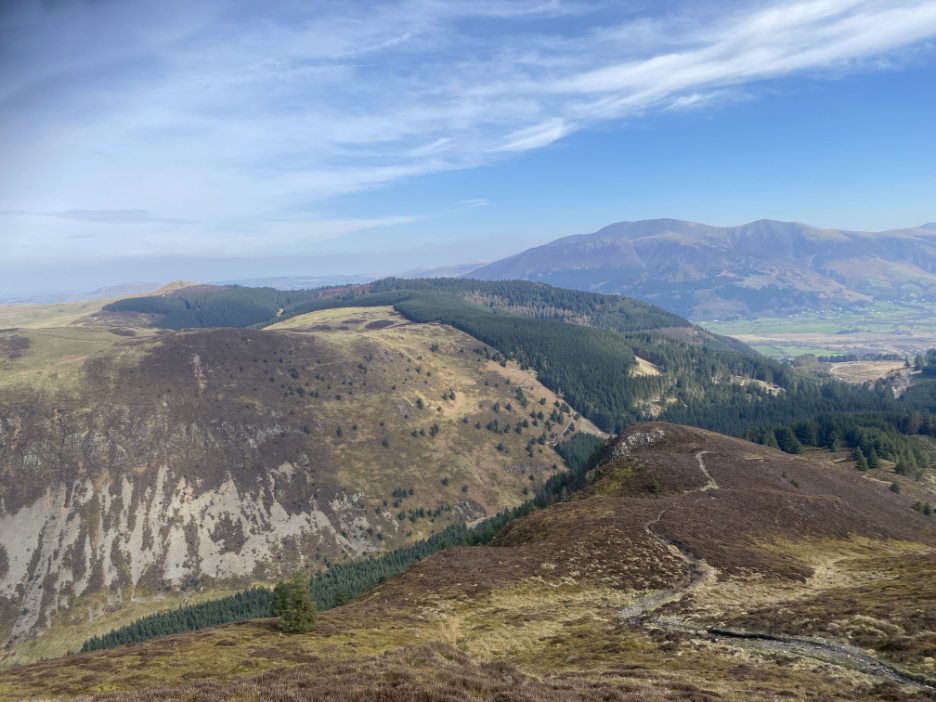
Looking north over the Whinlatter Fells towards Lord's Seat.
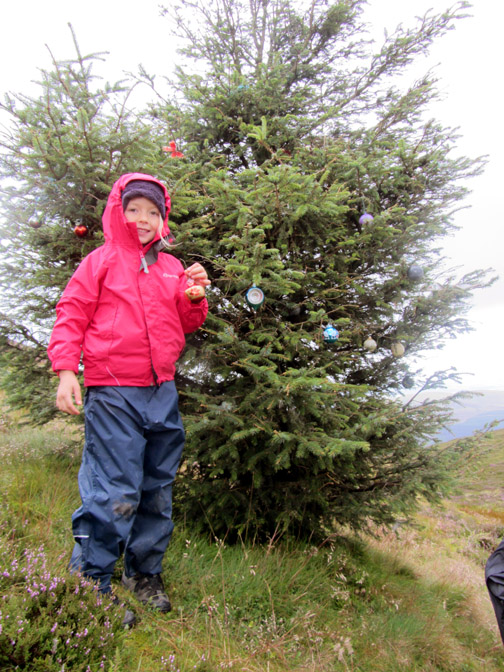
A small cairn set aside a short distance from the path makes a good viewpoint. Away in the distance is Hopegill Head, but our next feature to visit this morning is that single tree a few hundred yards away.
For many years this tree had all-year-round Christmas decorations . . . now just the smallest evidence remains and only if you look hard.
The Hobcarton Ridge path circles round and meets the main Grisedale ascent path at a small tarn. After a short climb we reach the corner post and another junction where the path up from Braithwaite joins the route.
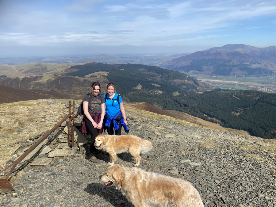
A slightly crowded summit of Grisedale Pike, where the views, despite the haze, were superb.
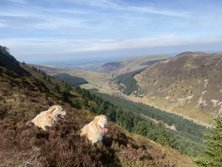
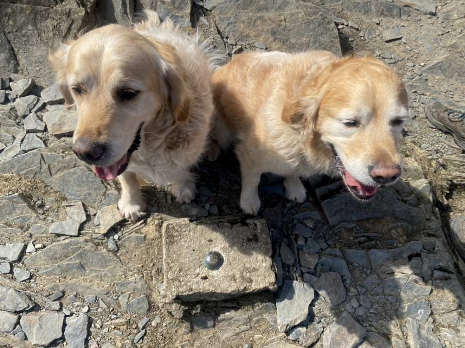
No great trig point up here, just a cemented spot height marker peg and two dogs on the summit.
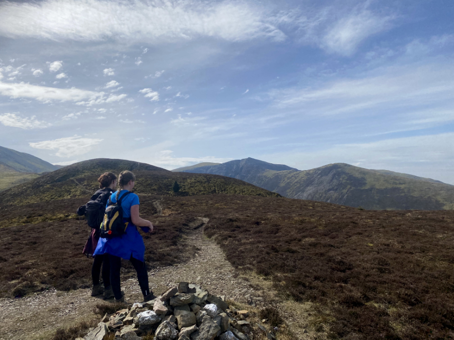
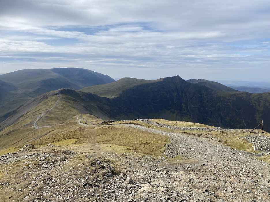
The next part of the walk will take us on a high level route towards the sharp pointed Hopegill Head.
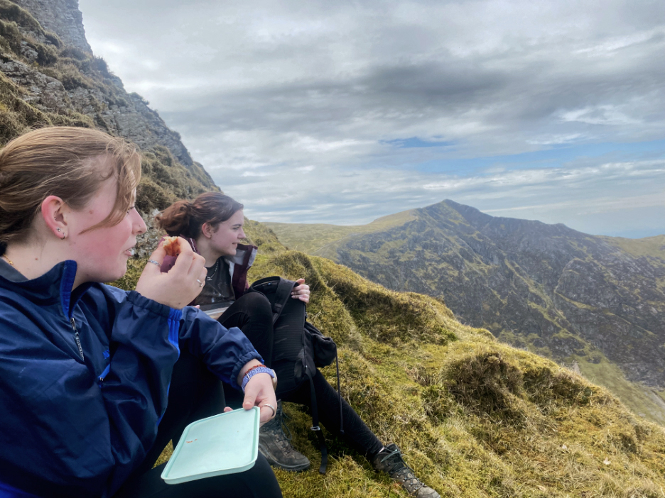
Half way along the ridge we found a sheltered spot behind Hobcarton Crags which made a fine place to stop for a bite to eat.
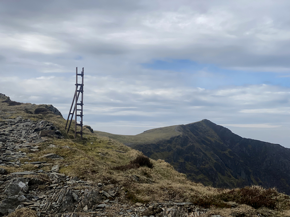
Close to the top of the crag was another of the old fence posts. The nature of the double-structure tells of it's use as a tensioner point for the original wire fence.
Skiddaw Shale makes up the rocky summit of Hopegill Head where heavy footfall has crumbled the rock.
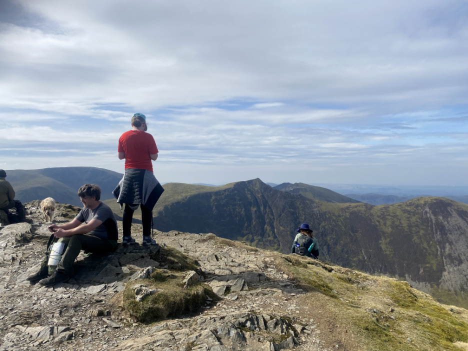
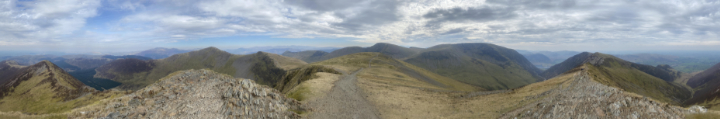
We had the summit all to ourselves so I managed a people free panorama (apart from the girls). Click here or on the photo above for a full 360 degree annotated view.
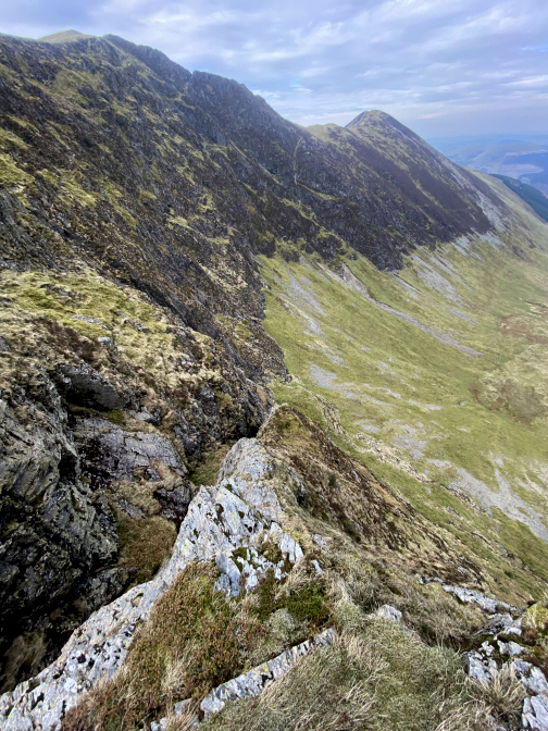
Walking the rocky ridge, with Gasgale Gill deep in the valley below.
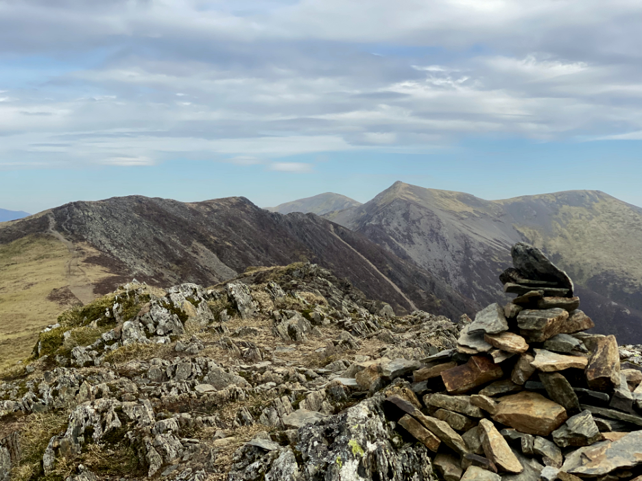
The path undulates along the very top of the ridge though it occasionally offers a lower path away from the edge.
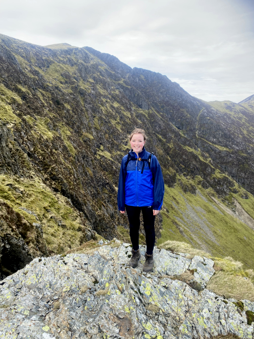
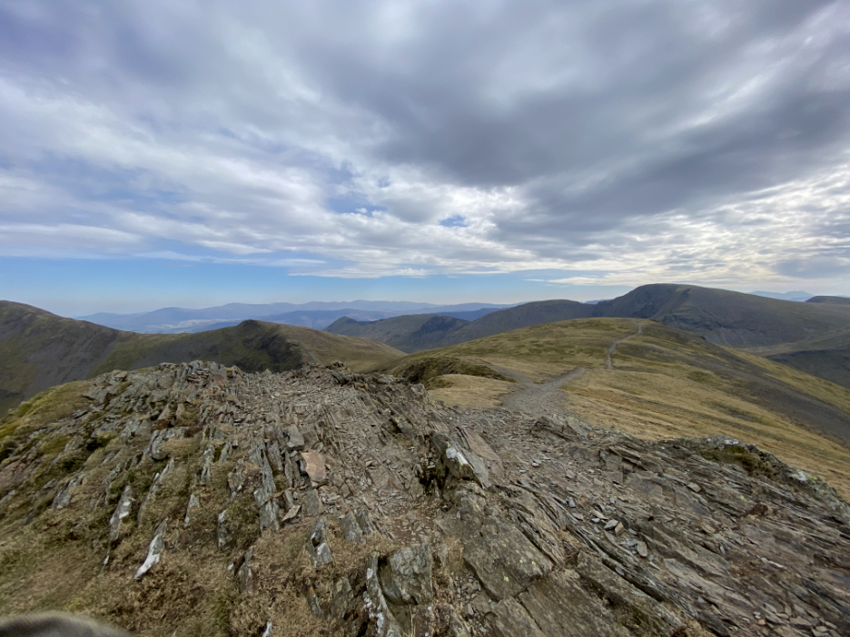
The cairn on the far end marks the summit of Whiteside.
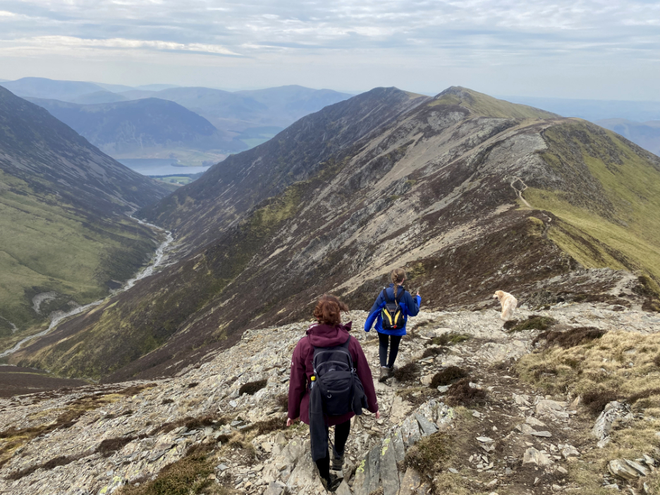
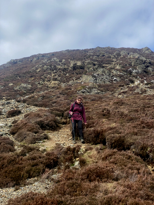
Whatever goes up must come down . . . and the descent here is a serious one as the surface is loose and the path steep at times.
Another craggy section successfully negotiated and now a more gentle slope down to Whin Ben lies ahead.
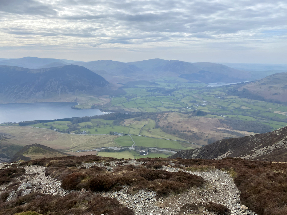
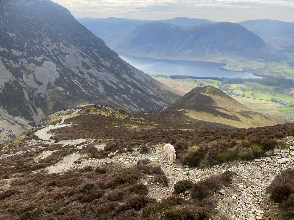
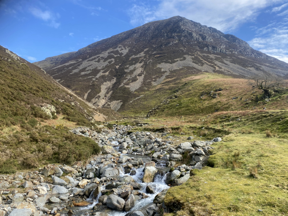
Grasmoor as seen from below . . . now we are down in the valley.
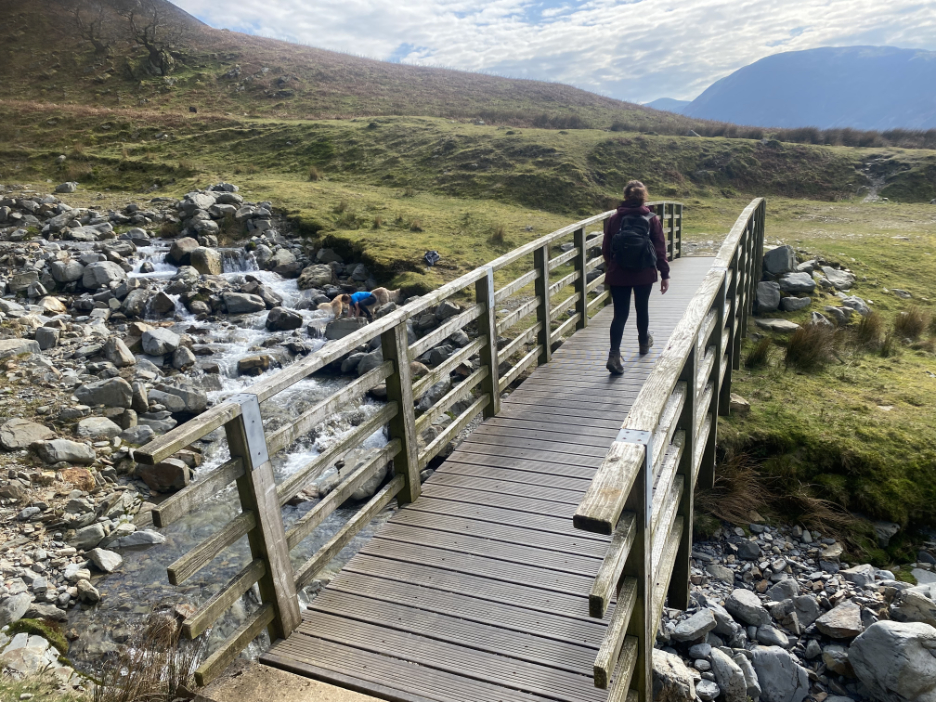
Em crosses the bridge as Abi heads down to the river where the dogs are already having a drink and cooling their feet.
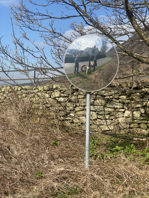
The bridleway brings us out at Scale Hill car park and a final picture for today. Just a quick chat with neighbours who were also out for a stroll and then a short road walk and we'll be back home at the cottage. - - - o o o - - - |
Technical note: Pictures taken with my iPhone 11 pro camera.
Resized in Photoshop, and built up on a Dreamweaver web builder.
This site best viewed with . . . friends and family to get me out onto the high fells.
Go to Home Page . . . © RmH . . . Email me here
Previous walk - 3rd April 2023 - Abi and Emilia, Gowbarrow
A previous time up here - 29th October 2008 Whiteside and Hopegill Head
Next walk - 5th/6th April 2023 - Abi & Em's Final two walks ths Easter