|
|
|
 |
Remember: Press F11 for a
full screen view of this page. |
Web Counter when published
2 062 150 |
|
" Mellbreak with The Mockerkin Mob " Date & start time: 19th February 2023. 9.45 am start. Location of Start : Foulsyke House, Loweswater, Cumbria, Uk. ( NY 142 215) Places visited : Kirkgate, Mosedale, Mellbreak (north & south), Scale Force back via Ling Crag. Walk details : 8 miles, 2050 ft of ascent, 5 hours 15 mins. Highest point : Mellbreak Summit, Walked with : Myself and the dogs, Dylan and Dougal. Weather : Dry but windy in exposed places. Misty on the full length of the summit.
|
© Crown copyright. All rights reserved. Licence number PU 100034184. |

|
The Mob opt for a walk up Mellbreak again, but with a different walk leader the route is different and the ambience of the walk subtly different too. Plans for a coffee with a view from the north top and perhaps lunch on the south, didn't materialise. because of the weather. It was a basically dry walk, misty up top and the ground conditions were soft and damp in places.
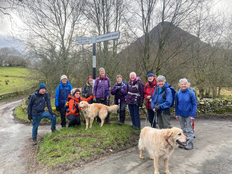
We met at Joan's Foulsyke House where she offered parking for those travelling from further away. It was a short walk down to our first photo ! Twelve folk (including myself) and two dogs, here at Wainwright's Negative Signpost outside the Kirkstile.
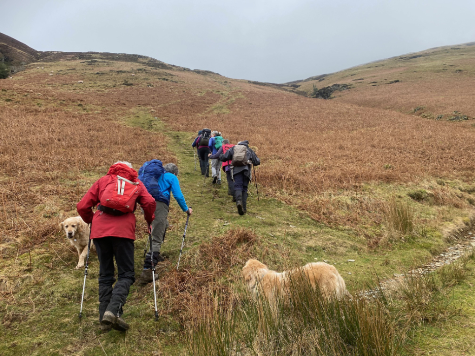
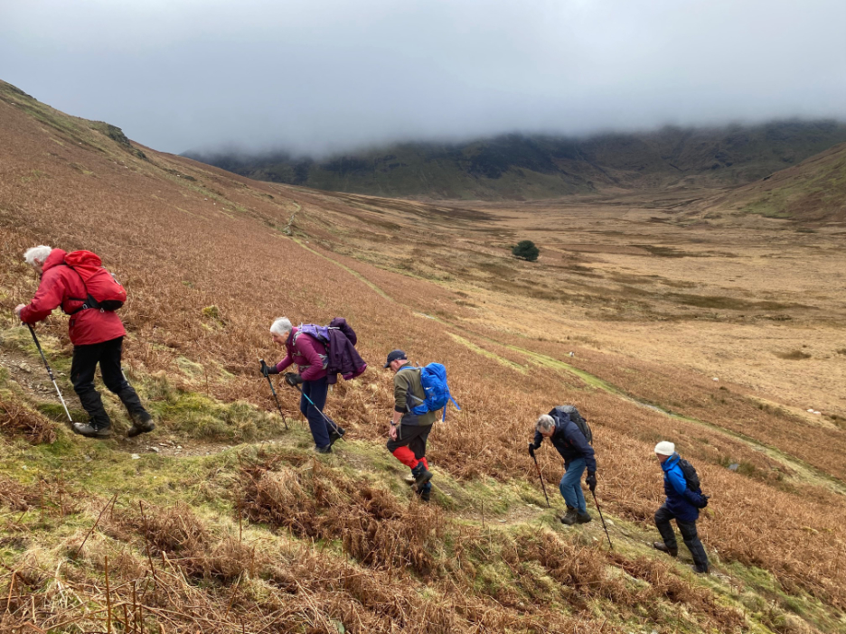
Once we reached half the length of the fell we turned and our path headed straight up the fell side. A stiff test for the legs but at least the walk-in had warmed us and added a certain subtlety of limb.
Trek poles helped in keeping the back upright. As we climbed it seemed the cloud was coming down to meet us. The plan was coffee with a view so we stopped early, near the ridge, and indulged ourselves with a view of the Mosedale Holly below.
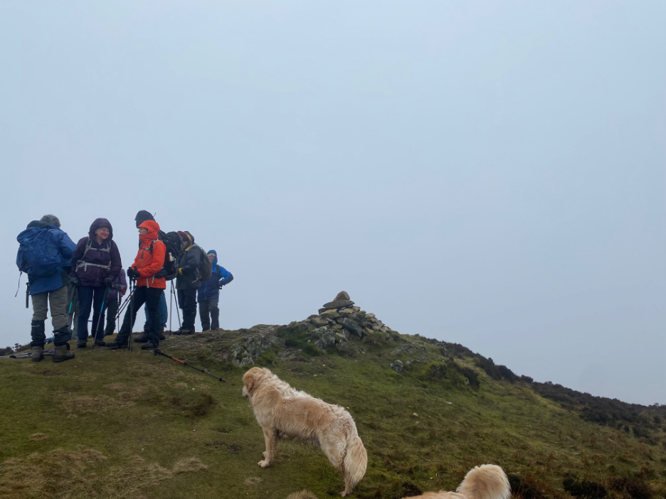
On the north top there wasn't a lot to see, apart from the immediate ground features. I thought of taking a 360 panorama, but most of it would have just been grey ! Likewise the southern and marginally higher summit. There we had a debate as to whether the grassy mound or the nearby rock outcrop was higher . . . even with two altimeters, the result were inconclusive.
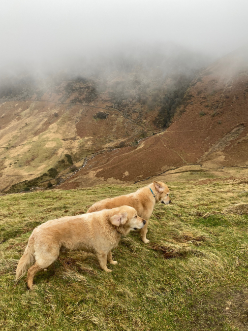
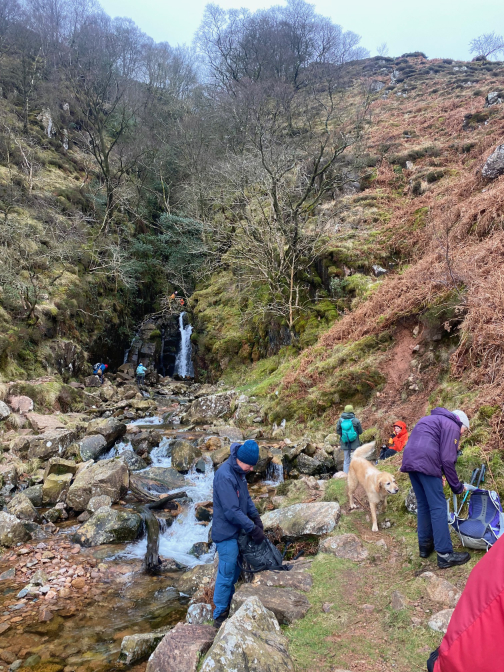
With an early coffee stop the group made great efforts to find a sheltered spot with a view of Buttermere, but it was not to be. Stopping off at the waterfall added interest and provided a convenient rock or should we say twelve places out of the cool breeze, on which to sit. Looking at the photos of the dogs you can use their ears to gauge the wind speed . . . I make it a Beaufort Scale 4 (13-18 mph).
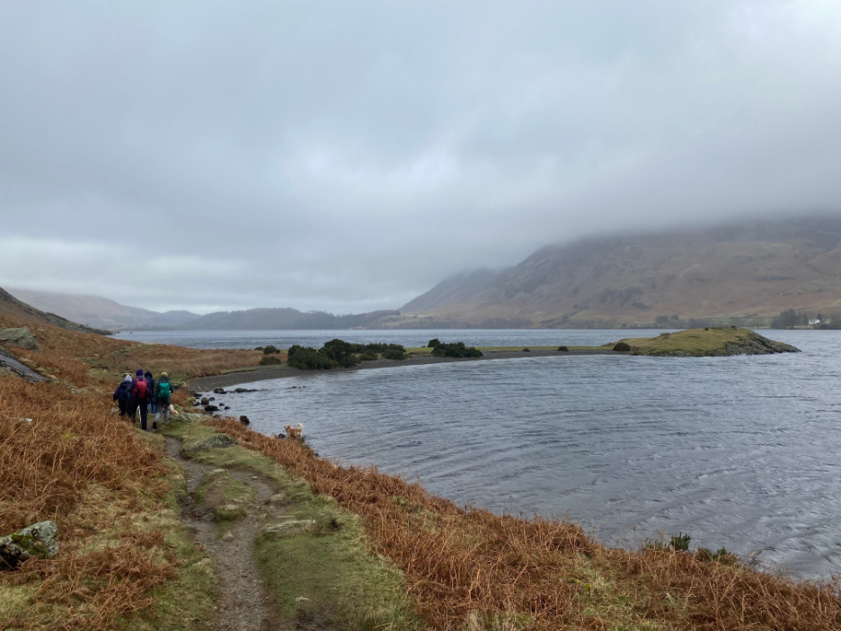
Down to the lakeside path now and heading north once again, towards Low Ling Crag.
Down here the weather was clearer, but the wind was gusting down the lake and whipping the tops of the waves. Sadly this is the only photo of the spray I achieved today, just after a large cloud of spray dispersed and fallen back onto the lake. Some of the earlier gusts were either too far away, or so close they would have doused the camera with water !
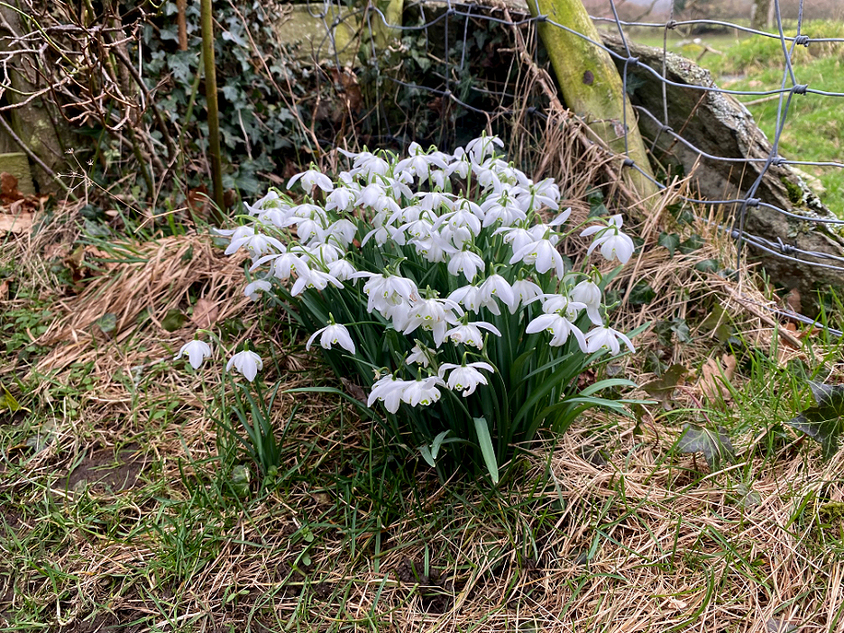
Back across Sandy Yat Beach, Muncaster House and the Water Board track and on past this delightful bunch of snowdrops. Soon the dogs and I were home, with just two fields more for the others to walk before they were back at Foulsyke. Big thanks to Catherine for organising today's walk.
- - - o o o - - - |

Technical note: Pictures taken with my Panasonic Lumix Gx8 Camera.
Resized in Photoshop, and built up on a Dreamweaver web builder.
This site best viewed with . . . a sheltered place for lunch.
Go to Home Page . . . © RmH . . . Email me here
Previous walk - 14th February - Harewood and Roundhay Park
A previous time up here - 23rd January 2021 - A Wainwright First for Martin
Next walk - 20th February 2023 - In Search of Snowdrops