|
|
|
 |
Remember: Press F11 for a
full screen view of this page. |
Web Counter when published 2
056 185 |
|
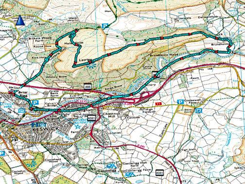
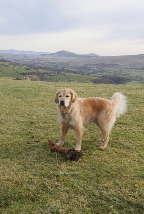
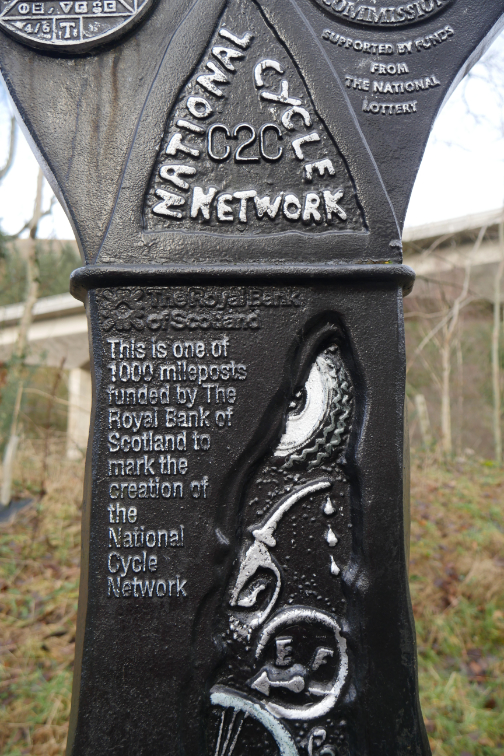
" Latrigg with the Mockerkin Mob " Date & start time: 5th February 2023. 9.30 am start. Location of Start : Spooney Green Lane, Keswick, Cumbria, Uk. ( NY 267 241) Places visited : Latrigg, Brundholme and back via the Railway Path. Walk details : 6.25 miles, 975 ft of ascent, 3 hours 20 mins including sandwiches and coffee. Highest point : Latrigg, 1,203ft - 368m. Walked with : Loes, Myself and the dogs, Dylan and Dougal, plus five local friends. Weather : Overcast and cool to start but slowly improving during the morning.
|
© Crown copyright. All rights reserved. Licence number PU 100034184. |
|
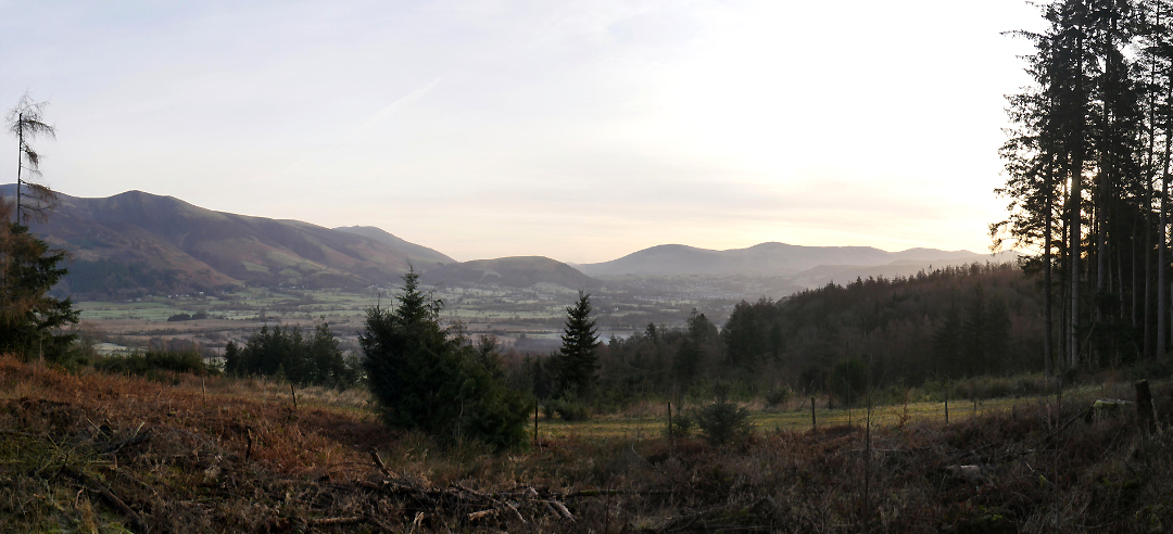
Another Mob Walk, this time a walk up onto Latrigg near Keswick, but we had to defrost the windscreen of the car before we started out. We are heading over to Spooney Green Lane via Whinlatter, on a cool morning before the sun really starts to add colour to the day.
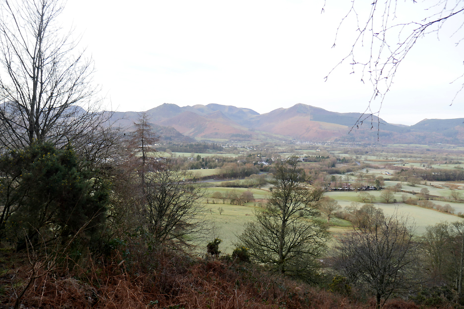
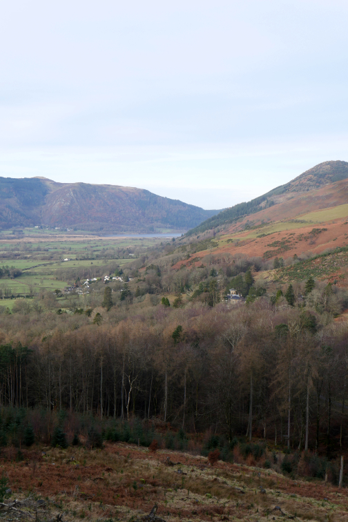
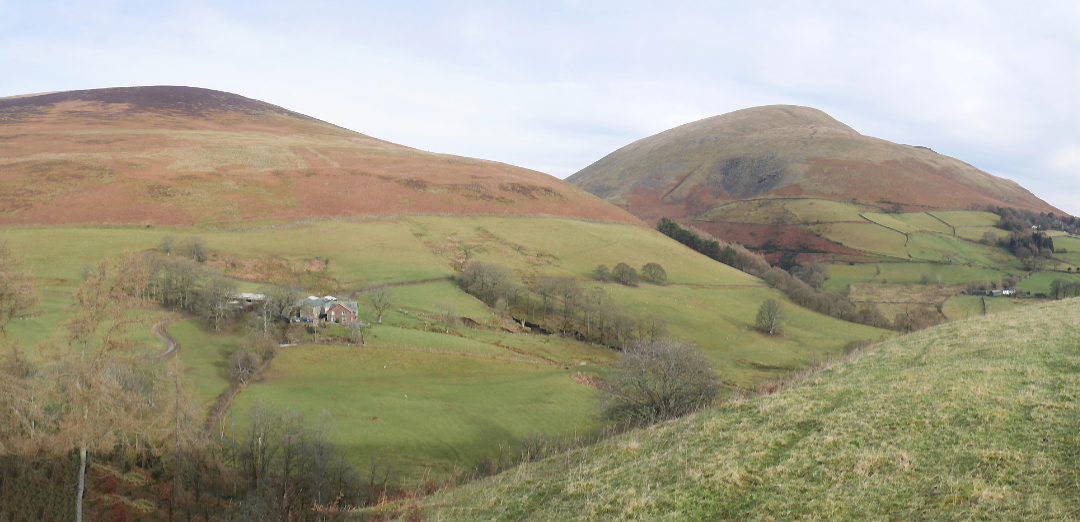
Latrigg is the smaller summit in the centre of the photo. It's low but with plenty of clear views from the top. This was the weak winter morning sun as we head over on a cold drive to Keswick. This is the view from a forest track junction about quarter of a mile or so above the Knoble Knott viewpoint.
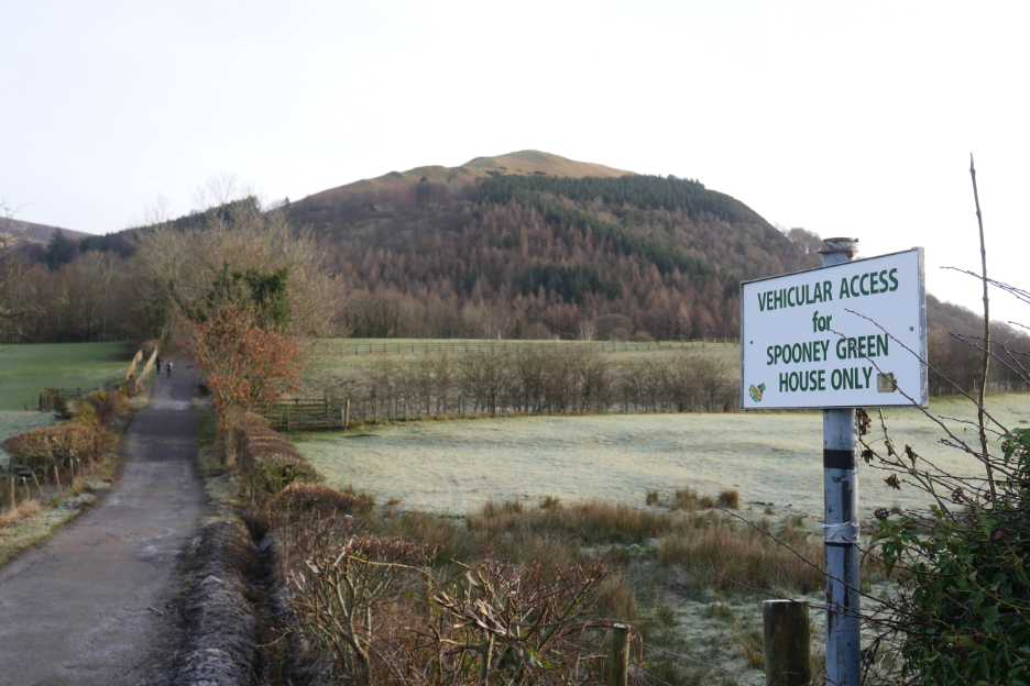
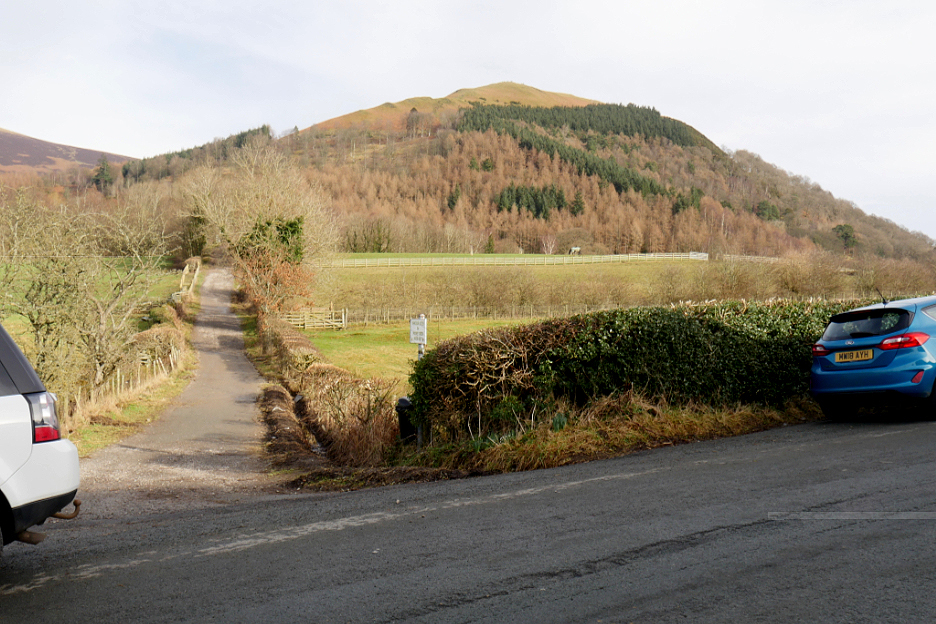
Latrigg above as we park near the foot of Spooney Green Lane, where a group of seven of us would head up, via the zig-zags, to one of the classic viewpoints of the Lake District.
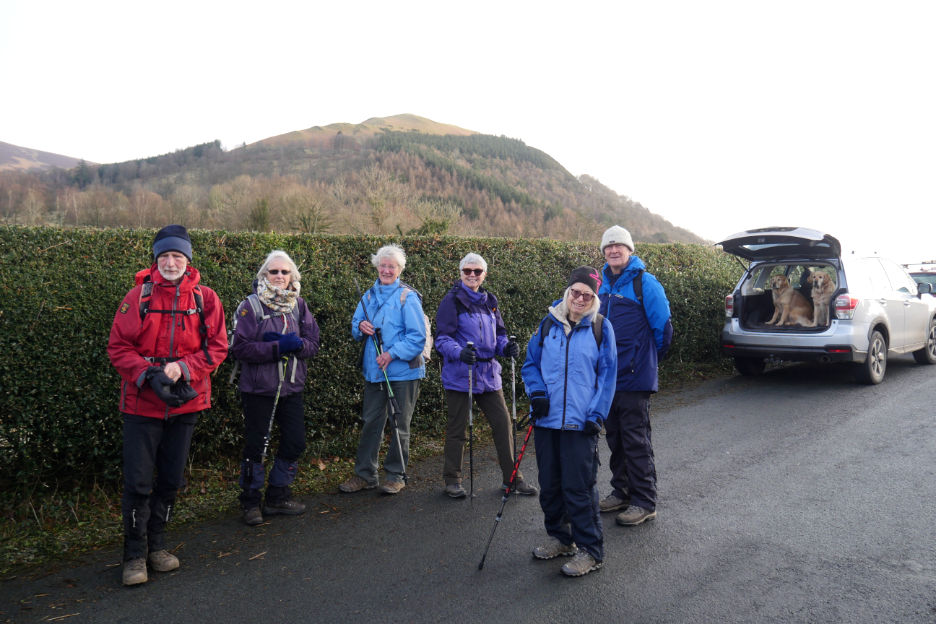
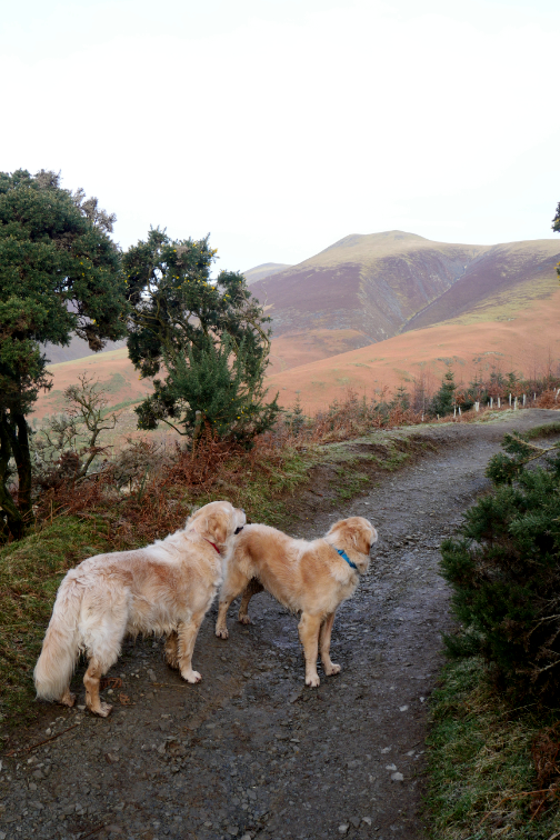
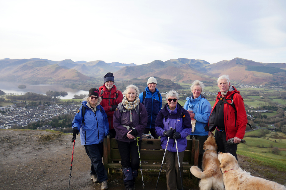
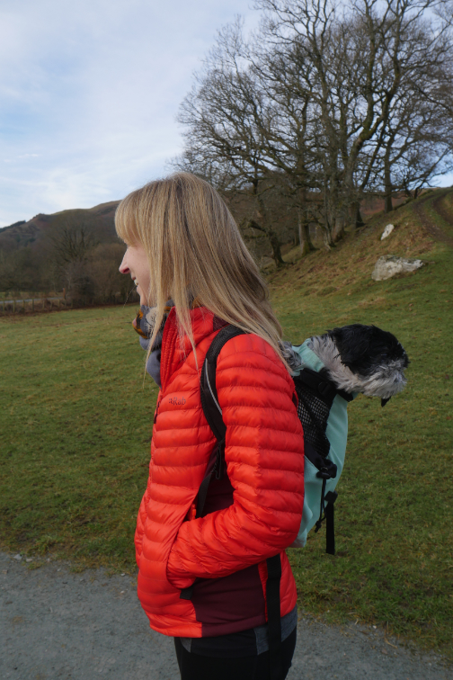
My companions today . . . John, Irene, Ann, Loes, Ellie and Peter . . . not forgetting those two in the car.
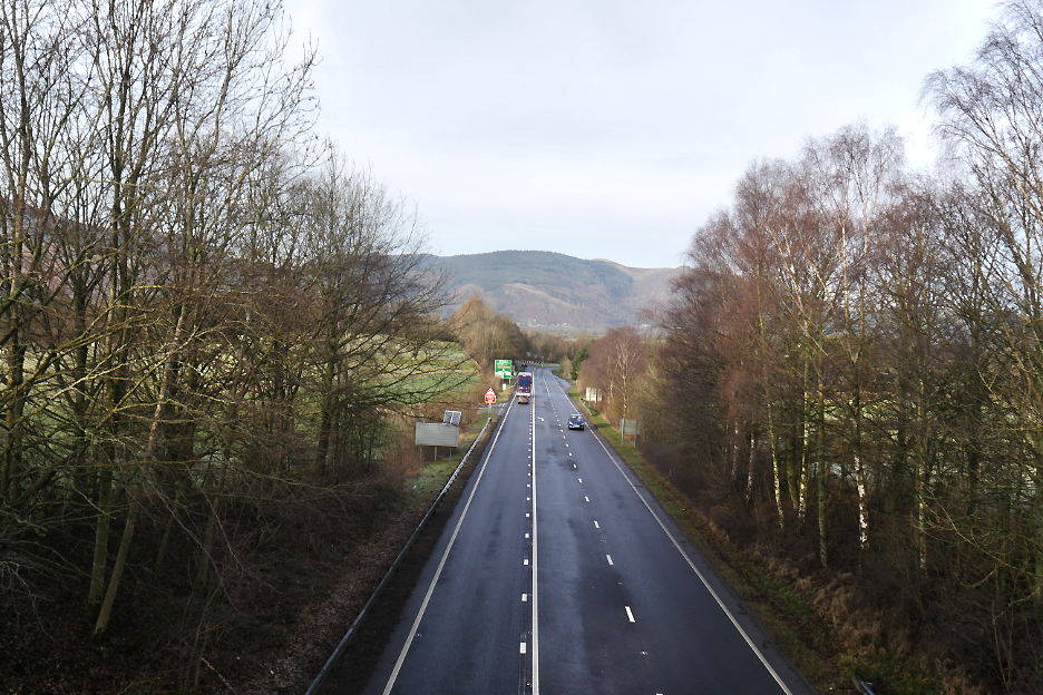
"Crossing the main road".
The A66 looking west towards the Keswick roundabout and on towards Whinlatter.
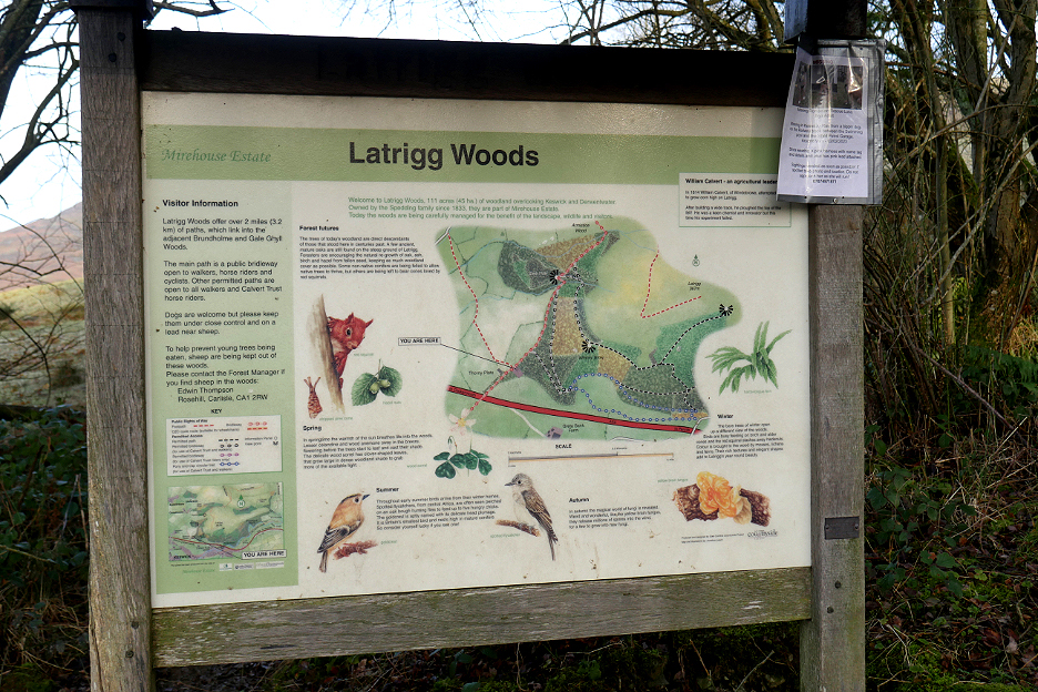
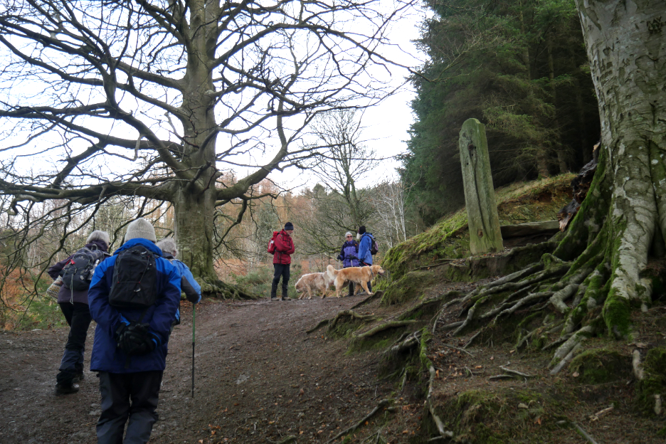
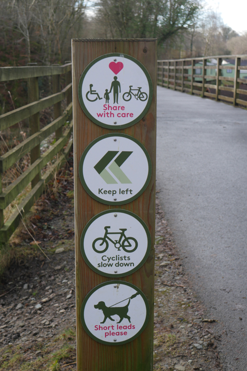
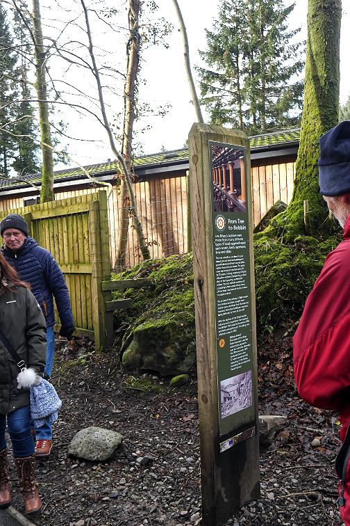
Signboard as we enter Latrigg Woods . . . read all about it !
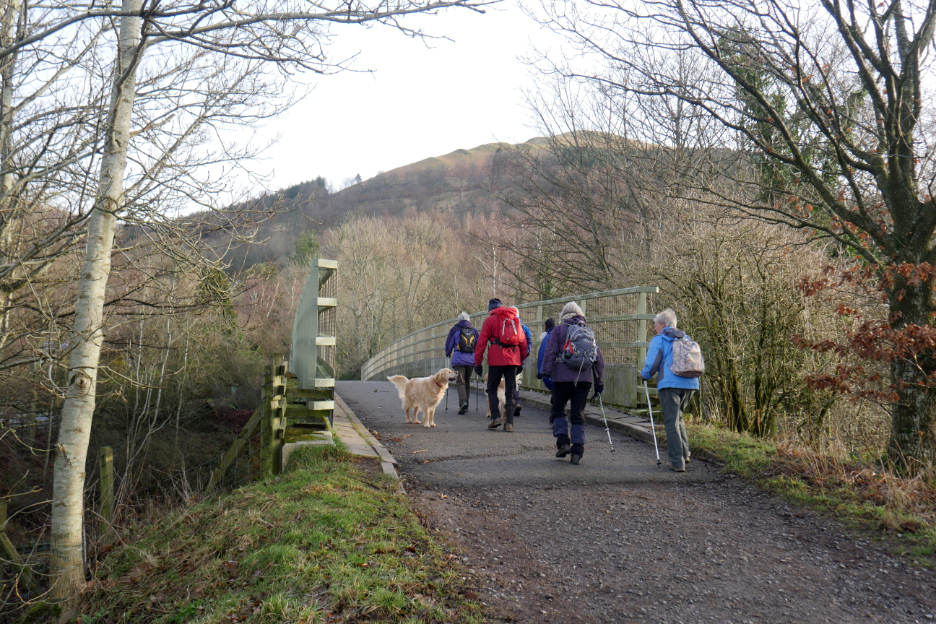
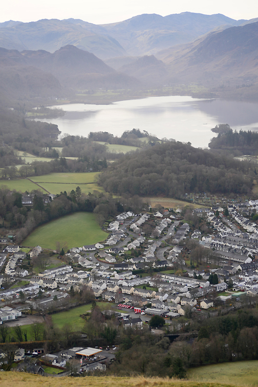
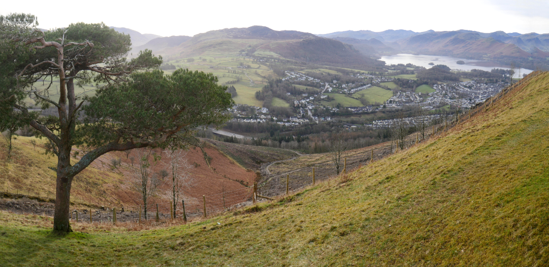
Climbing the track up through the woods, catching our first elevated views across the vale of Keswick towards Portinscale.
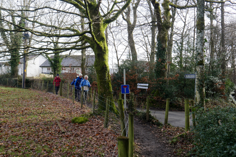
An old slate gatepost stands at the junction with the lower track to Brundholme Woods. The other post now forms a convenient seat if the slate is dry.
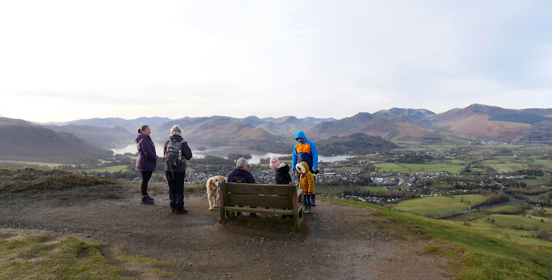
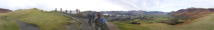
Doubling back on the zig-zags and joining the all-terrain path we reach the chair and the fine view down over Derwent Water.
Time for a full group photo, kindly taken by a fellow walker today.
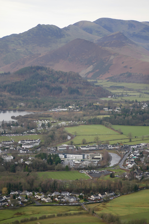
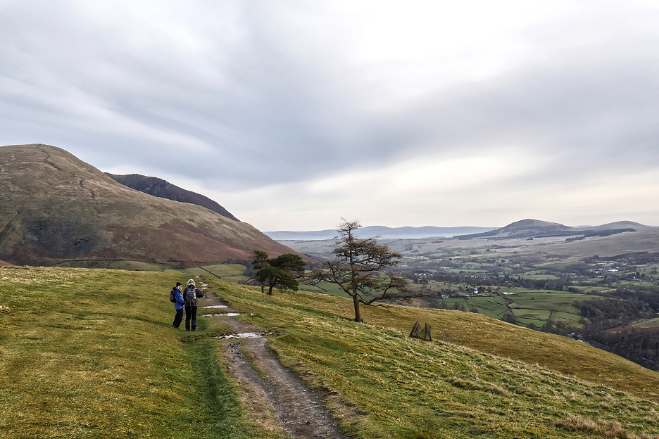
Coffee finished, the summit conquered, we head on down the eastern ridge of Latrigg, past the old larch and Scots Pine trees, enjoying the views ahead all the way to the Pennines.
There's been a lot of clearance of trees on the steep slopes below the ridge.
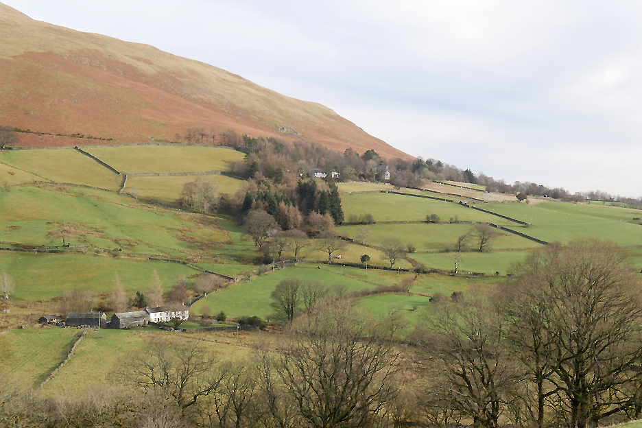
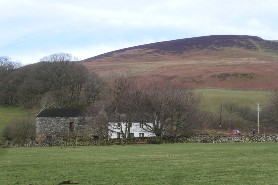
Lonscale Farm on the lower slopes of - yes - Lonscale Fell.
Looking across to Derwentfold Farm with the Blencathra Centre higher up the fell in the trees.
The eastern end of the Brundholme road is now permanently closed to cars due to a landslip further along in the woods.
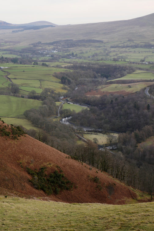
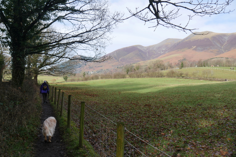
Losing height steadily now as we skirt round Brundholme Farm and head for the valley below.
Nice photo . . . how do I get down from here now ? I had to backtrack thirty yards or so to where the bank wasn't quite so steep !
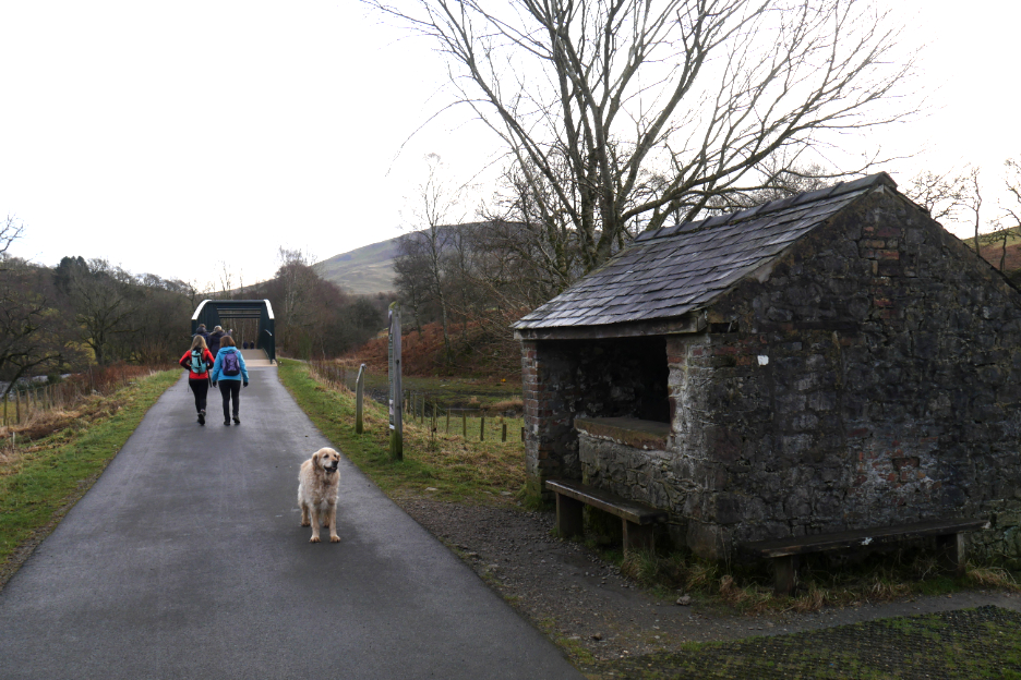
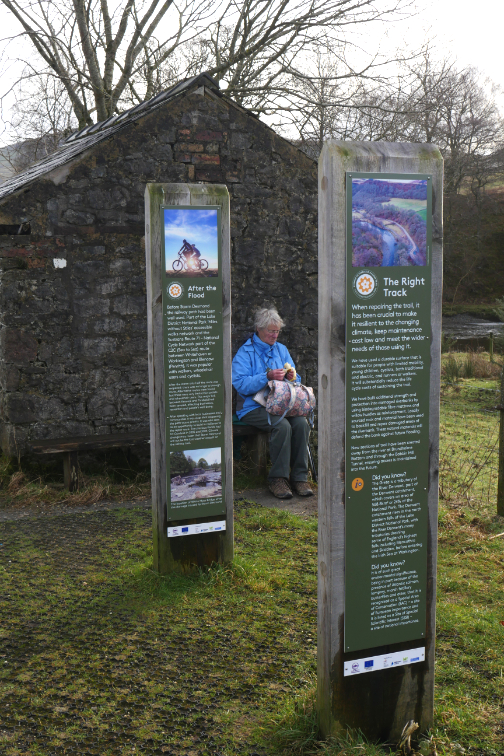
The old railwaymen's track-side hut down on the railway path.
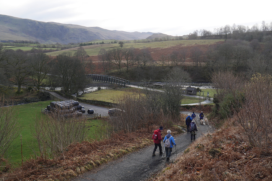
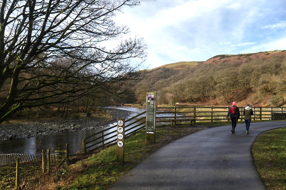
Our early group start means it's now only late morning, so we decide to defer lunch till a little closer to lunchtime. Ann packs her bag again and we all head off down the valley track. The major floods here a few years back washed away the track bed, so a diversion is in place till we've passed the next bend in the river.
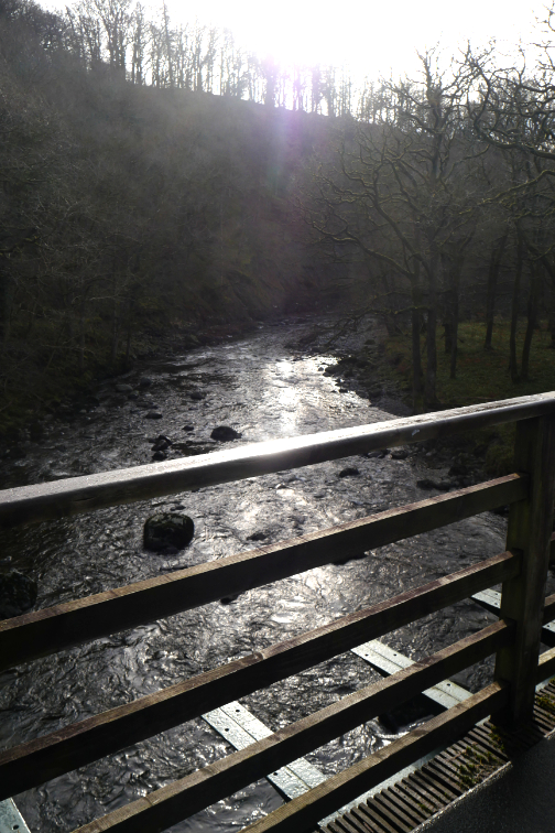
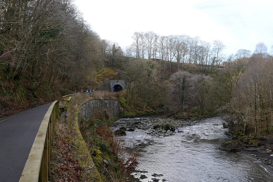
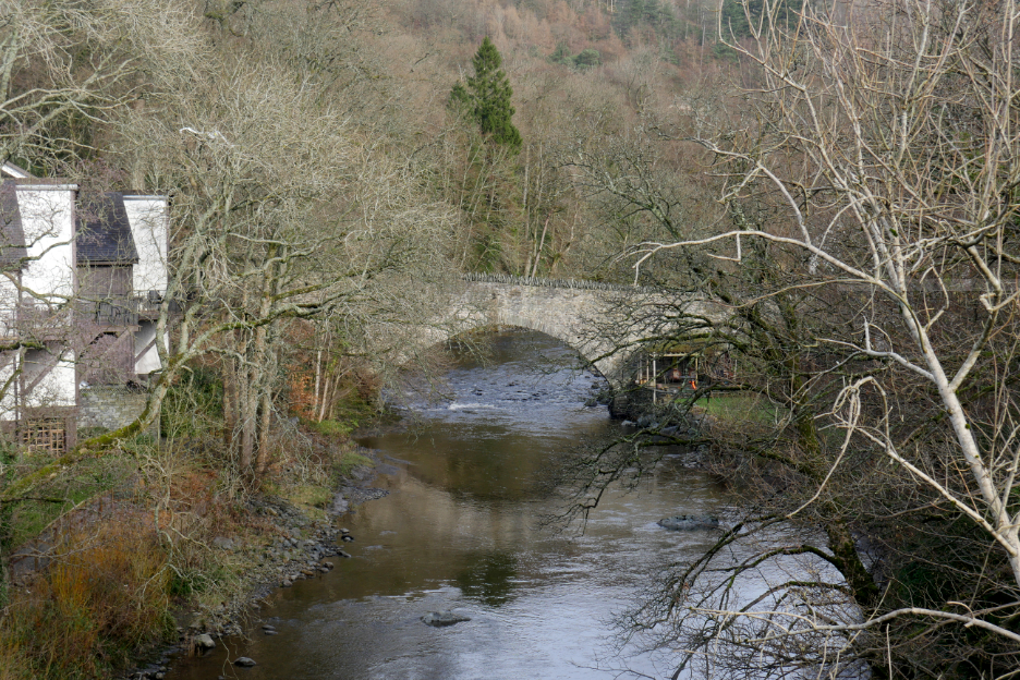
Another river crossing and another bridge. There are eight major river bridges on the section of track between Threlkeld and Keswick, a major engineering feat of its day.
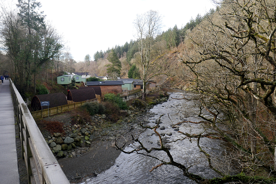
The chalet site at Low Briery . . . which used to host a wealth of industry in its day.
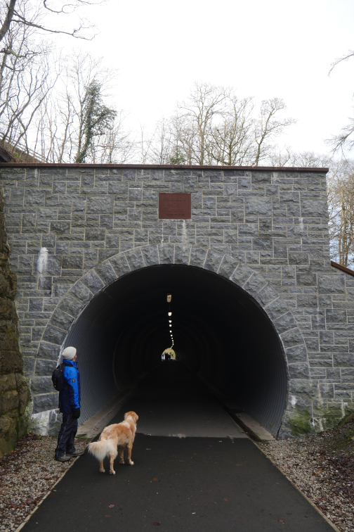
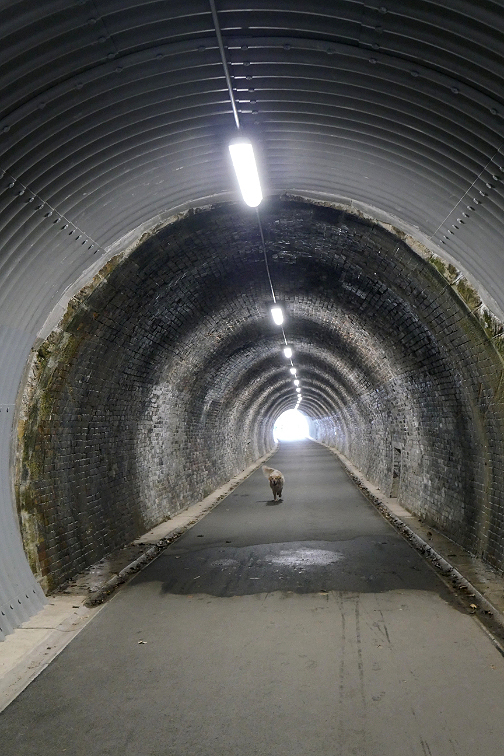
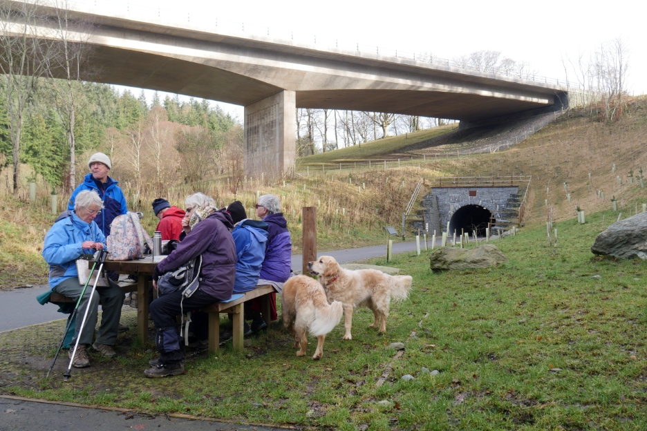
Blocked off once the railway closed, the tunnel has been re-opened in 2020 and now forms part of the new footpath / cycle track.
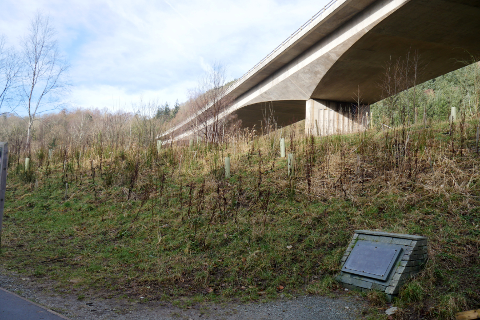
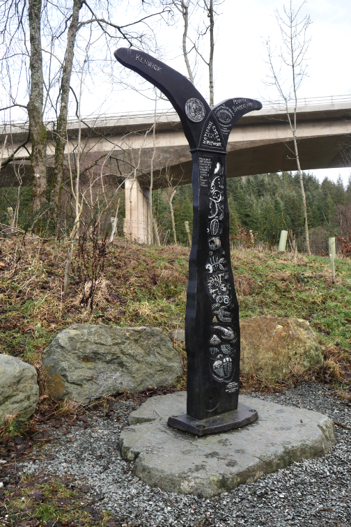
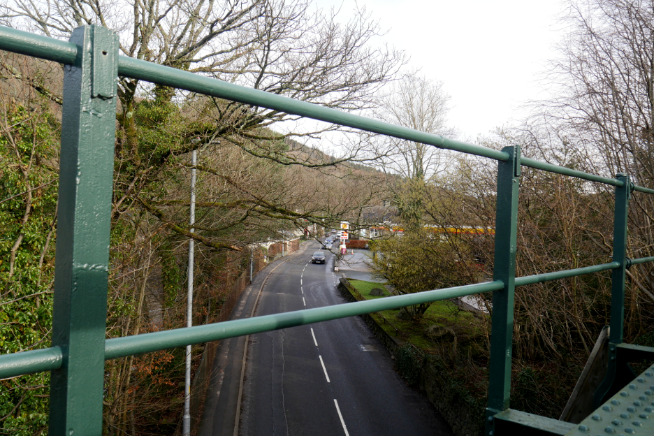
Out the other side and we emerge with the A66 fly-over high above us. The curved bridge won a prestigious award for "the Best Concrete Structure of the 20th Century", hence the plaque.
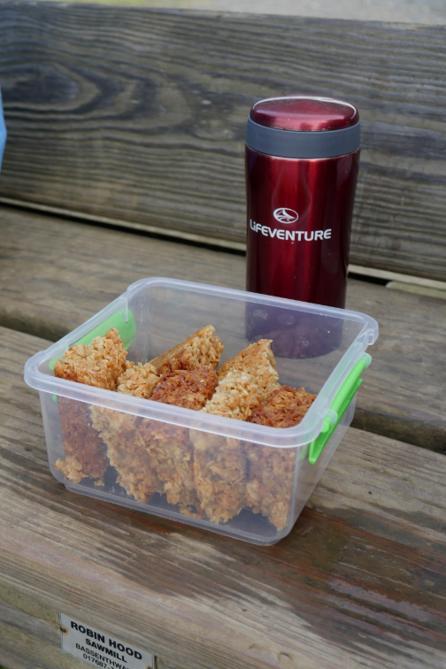
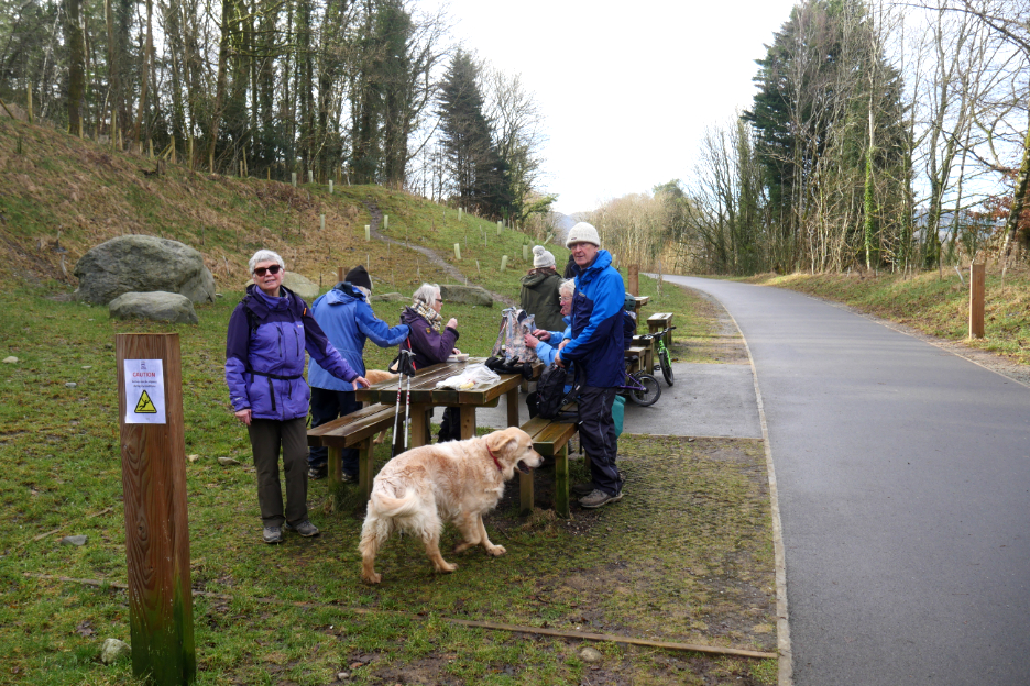
The tables set to one side, just a little further on, won today's award for the best picnic tables on this stretch of the path. A quick wipe down of the wet bench and out came the sandwiches.
Close to the end of the walk but there's no point in carrying sandwiches home. Ann finishes the rest of her lunch as the dogs wait for me to find theirs.
When the trees were cleared back a few years ago the houses below complained about losing their privacy. Today there's a new fence which has been erected to put an end to the problem.
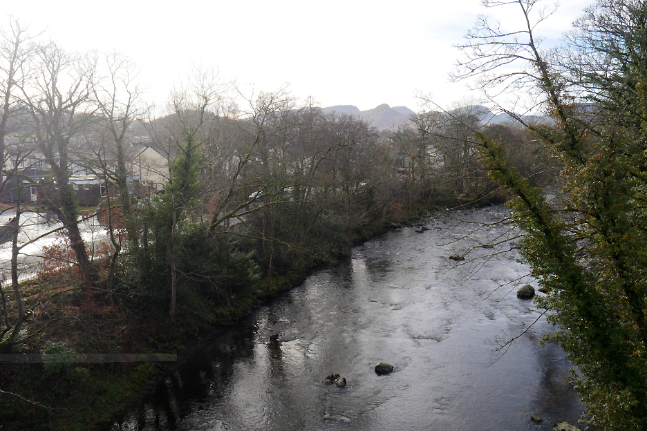
The final railway bridge for us today takes us over the road into town . . .
. . . and over the Greta which flows way below.
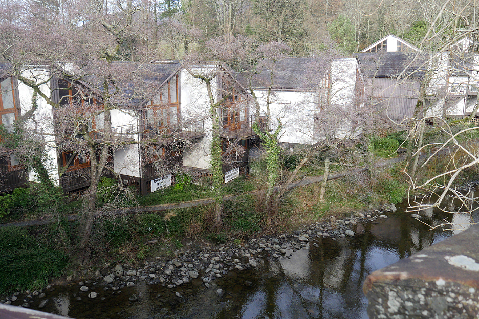
Holiday time-share cottages flank the river above the bridge.
I think this is Calvert's Bridge rather than Forge Bridge which was a little further upstream.
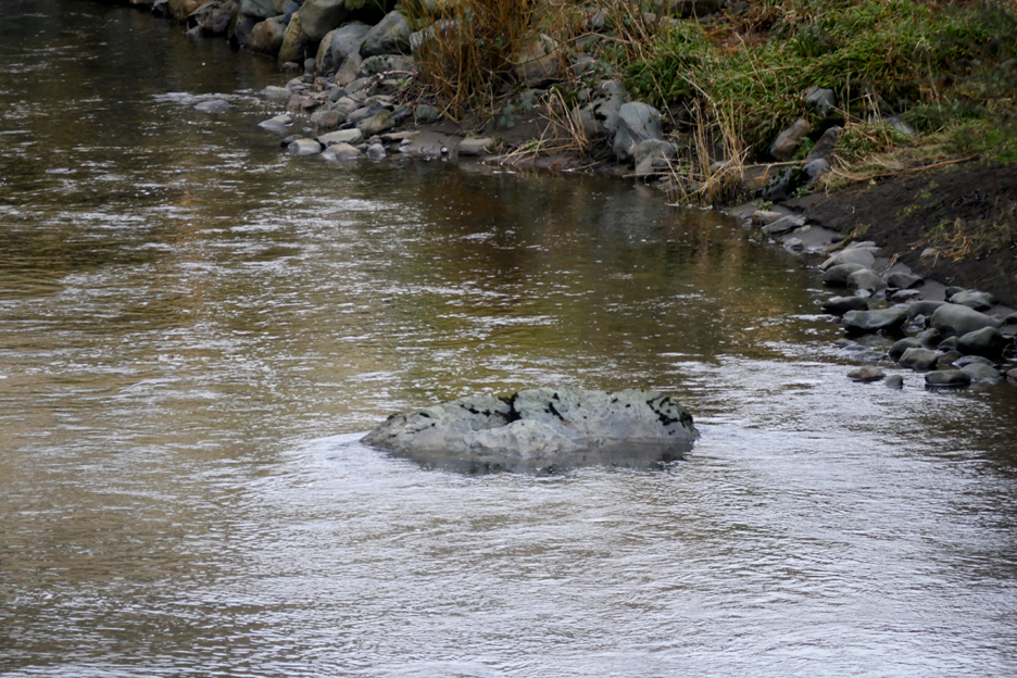
We stopped to watch a Dipper who was standing (and bobbing up and down) on the rock in the middle of the river. Can you see him . . . I can't as I think he flew off as I changed the camera lens . . . but he was there, honest !
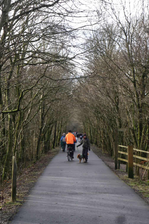
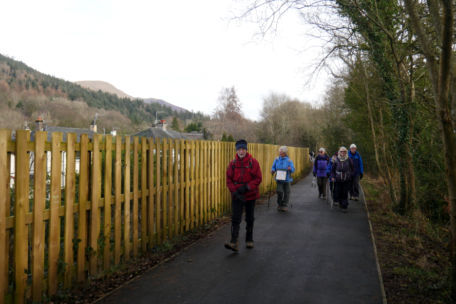
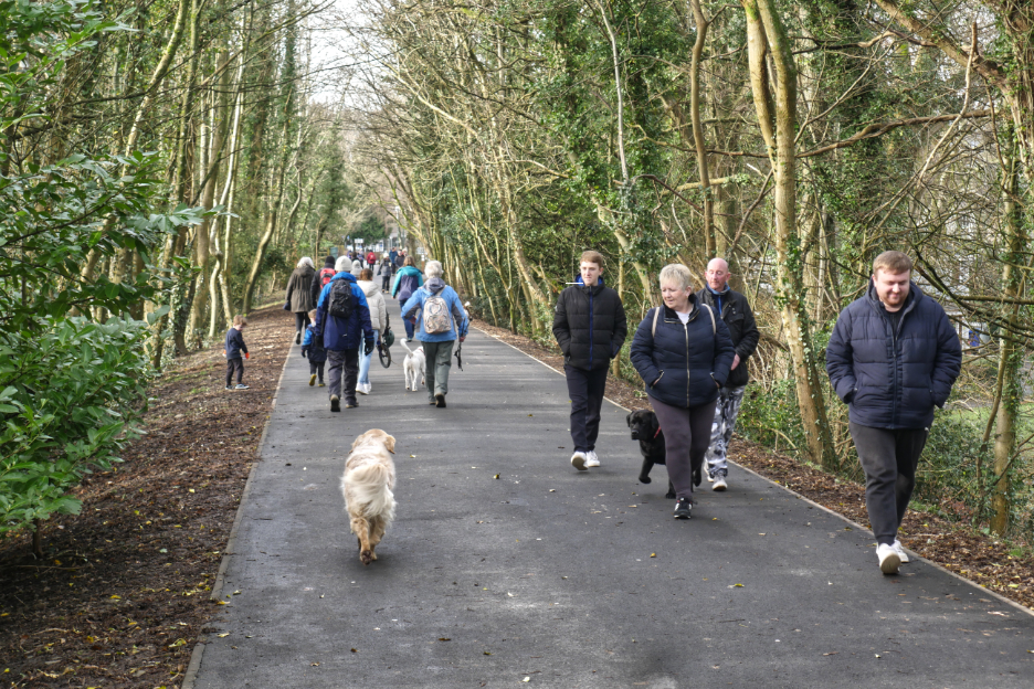
A steady stream of folk on the track now as we approach town.
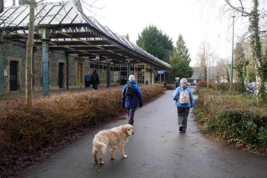
The end of the path at the old Station and the Keswick Country Hotel. The old railway track used to continue on to Cockermouth and the coast, but the modern footpath ends here.
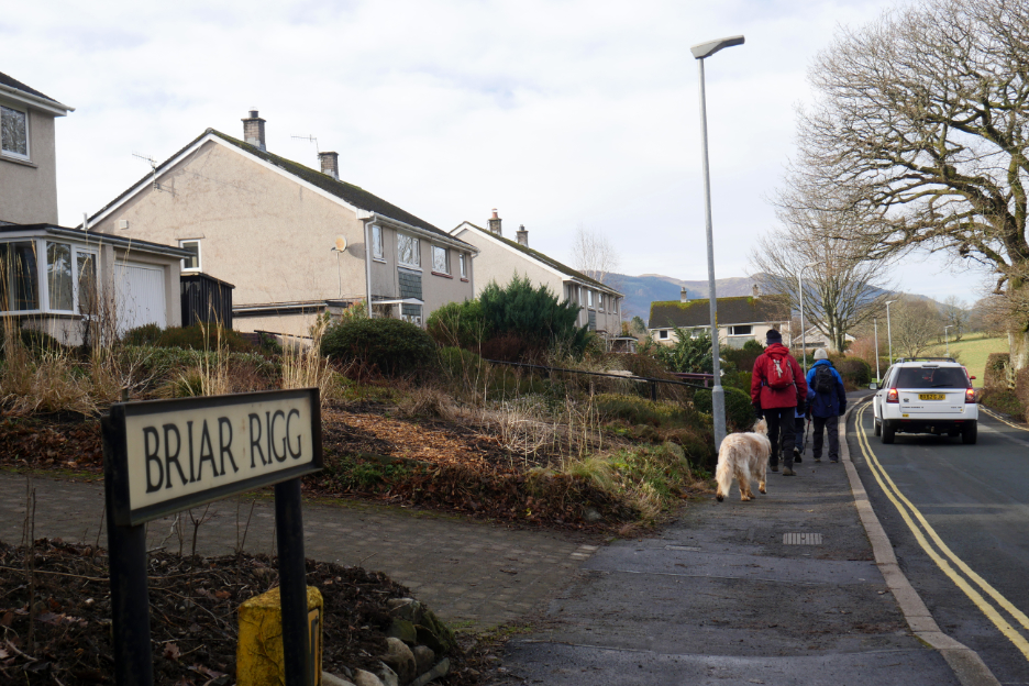
Loes leads us on a small footpath to avoid the narrow section of the Briar Rigg Road.
The track skirts the edge of the field and avoids the occasional heavy traffic than can use the road during the week.
Out into the Briar Rigg Estate and onto the formal footpath once again.
. . . which conveniently brings us swiftly back to our cars parked at the foot of Spooney Green Lane. "I think this is where we came in ". Time to say our goodbyes, thanks to Peter for organising the walk and Karen for the flapjacks of course ! - - - o o o - - - |


Technical note: Pictures taken with my Panasonic Lumix Gx8 Camera.
Resized in Photoshop, and built up on a Dreamweaver web builder.
This site best viewed with . . . a bonus 'sweetmeat' to have with the coffee.
Go to Home Page . . . © RmH . . . Email me here
Previous event / walk - 24th January - Talkin about Burns Night
A previous time up here on a very similar walk but with different weather - 9th January - Latrigg and the Railway Path
Next walk - 6th February - Binsey with Lill and Loes