|
|
|
 |
Remember: Press F11 for a
full screen view of this page. |
Web Counter when published 2
039 870 |
|
" Cockermouth Riverside Walk " Date & start time: 15th December 2022. 2.45 pm start. Location of Start : Roadside on Lorton Road, Cockermouth, Cumbria, Uk. ( NY 126 302). Places visited : The old Railway Track, High Bridge, Double Mills, back on the opposite bank. Walk details : 2 miles, 250 ft of ascent, 1 hours 10 mins. Highest point : Walking the Railway's High Bridge for the first time. Walked with : Loes and the dogs, Dylan and Dougal. Weather : Cloudy and grey after rain. Very damp underfoot in places.
|
© Crown copyright. All rights reserved. Licence number PU 100034184. |
|
A damp day today in the middle of this very changeable month. We opt for a town walk as part of the day's busy schedule, but once we leave the tarmac the going-under-foot gets decidedly soft and muddy. Plenty of interest however as we meet the old railway line at the start of the walk.
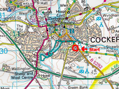
The main road into Cockermouth from the Loweswater direction passes this innocuous brick wall but the level nature of the road and the dip afterwards are not natural features of this part of town. We park on the over-wide roadside footpath and head across to the blue sign and gate opposite.
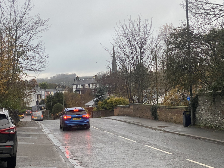
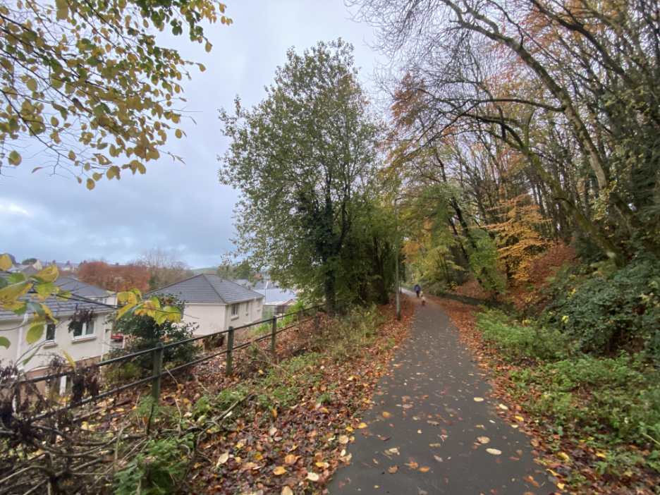
Down below is the old Keswick to Cockermouth (Penrith to Workington) railway track, which has now been converted to "The Green Way" footpath and cycle track.
We have in mind a shorter riverside walk, but starting here on the old rail track in the upper part of town.
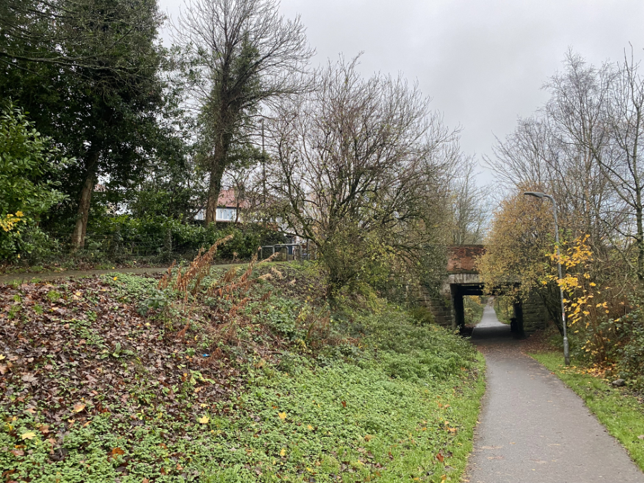
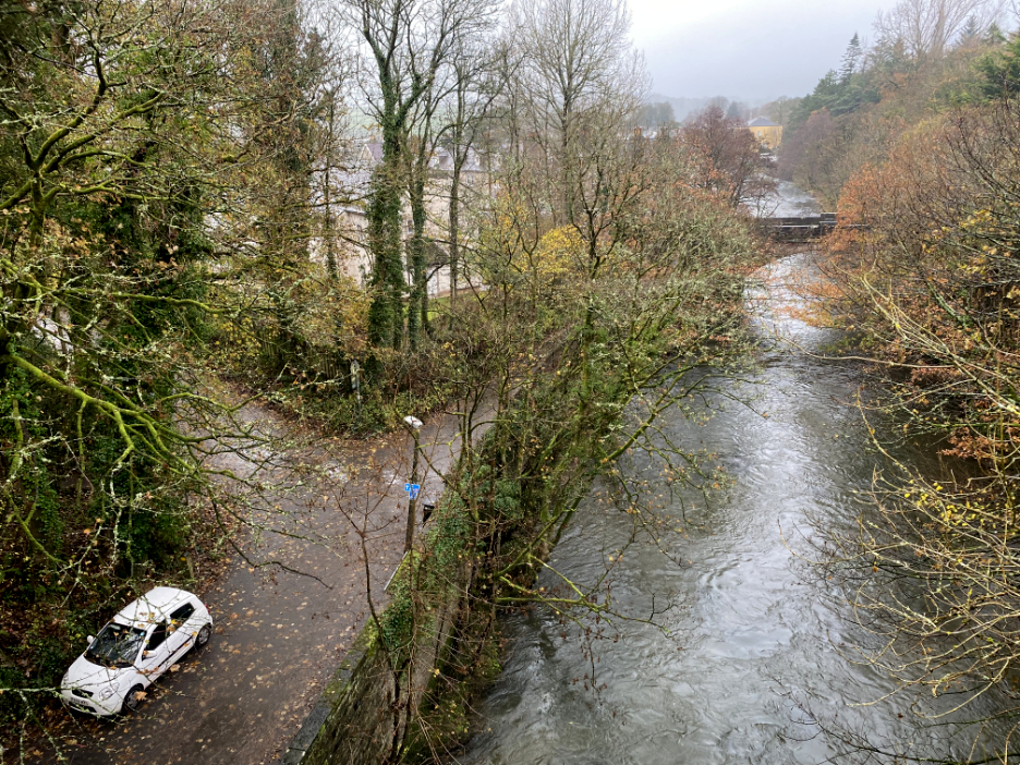
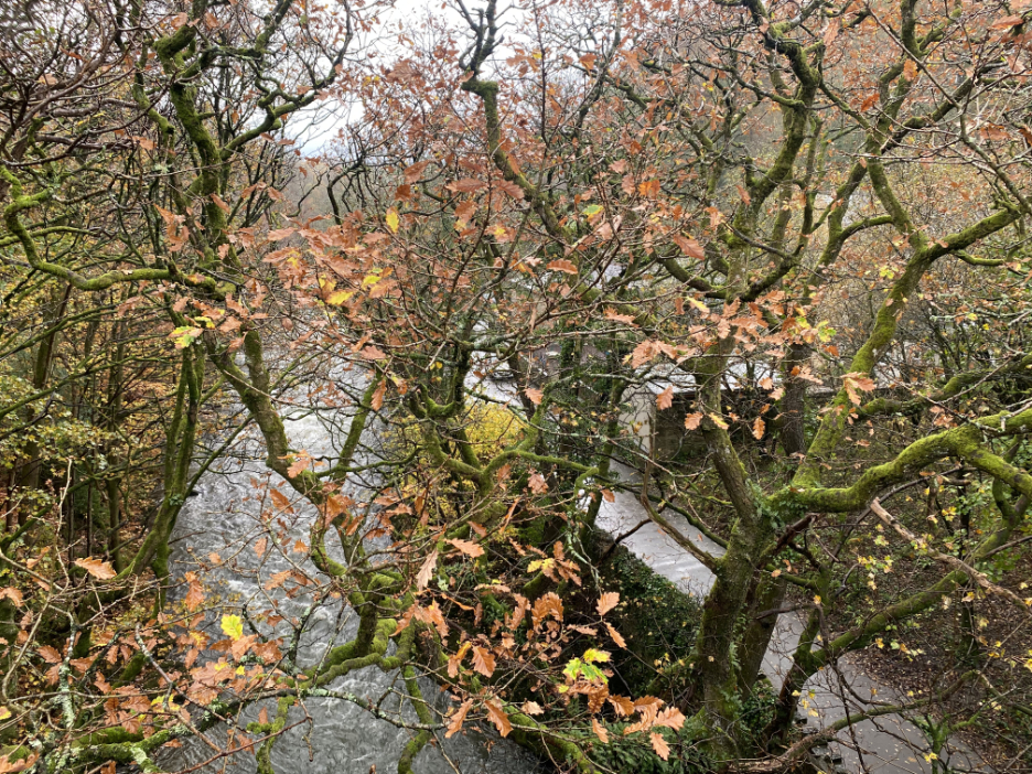
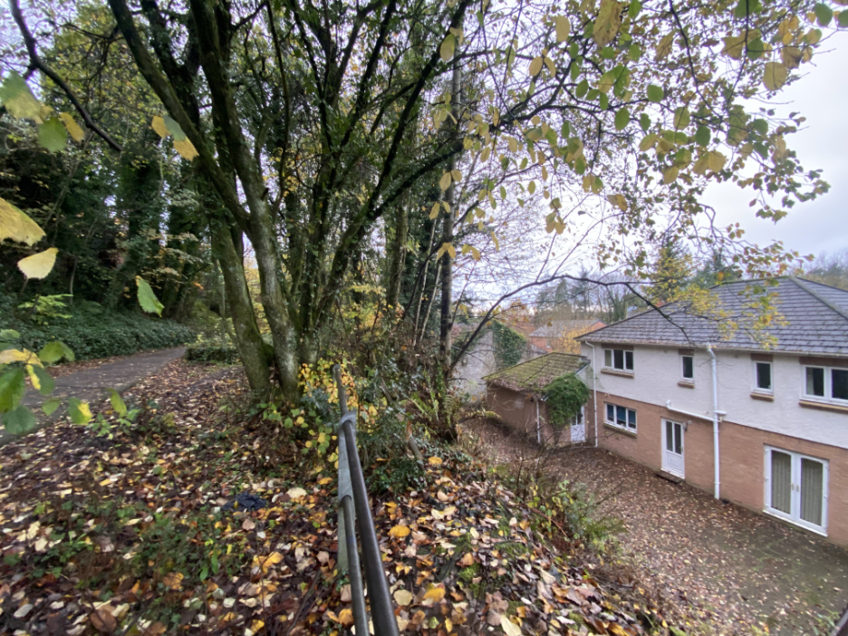
As a result when we do reach the River Cocker we are in fact high above it crossing on the high level railway viaduct with Rubby Banks Road far below us. Down river we can see the Lorton Road Bridge and then the more distant views towards the town centre.
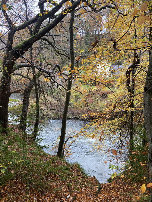
Looking upstream, albeit through the trees, are the houses and old mills that line the river bank.
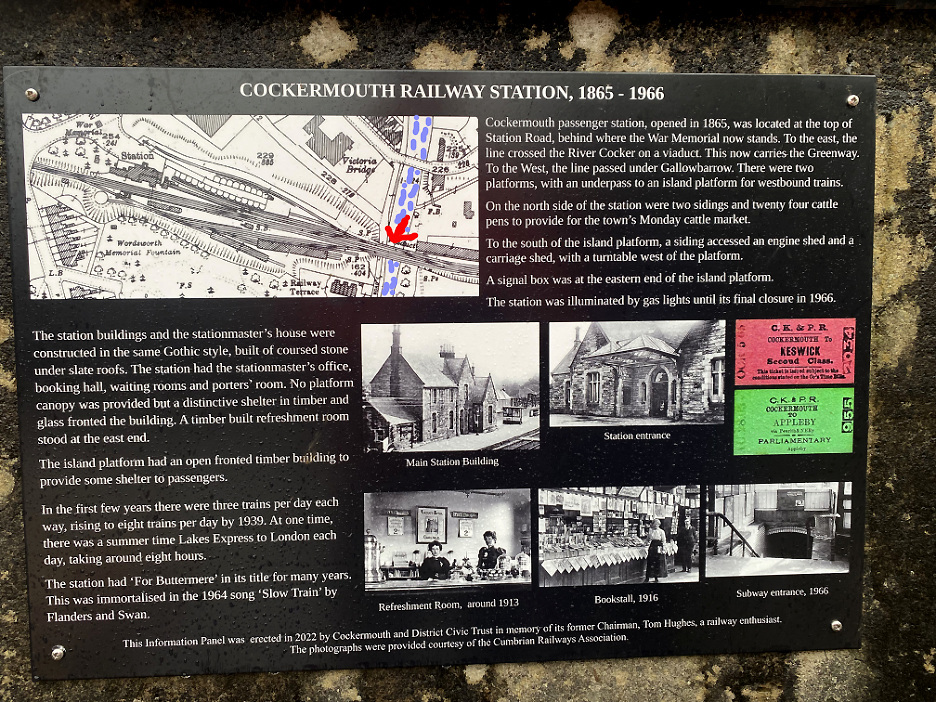
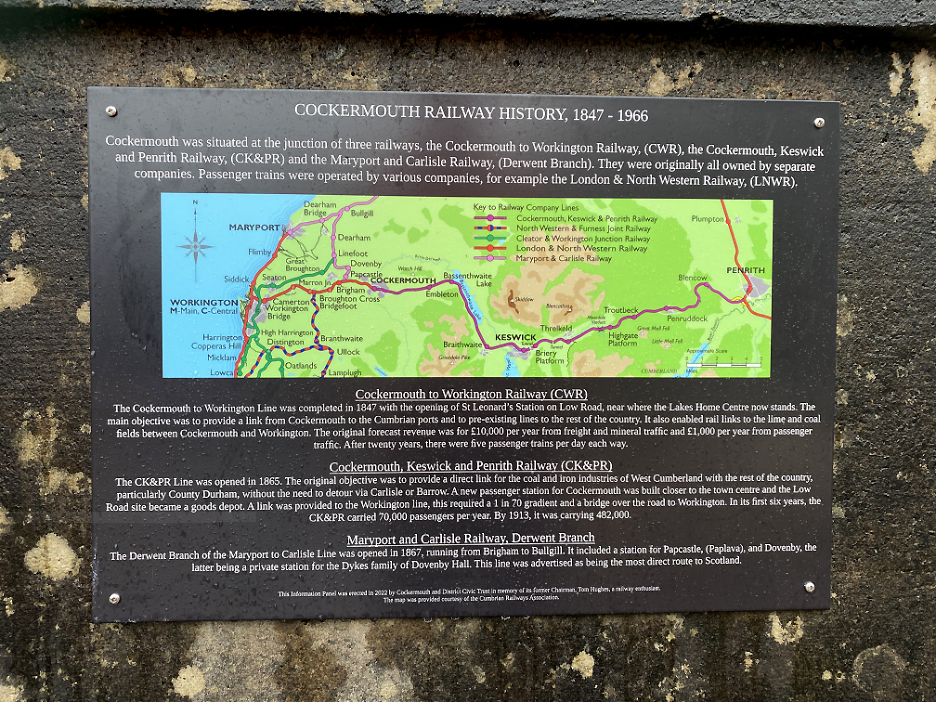
The arrow implies "You are here" !! Looking at the old map above, to the left (ahead as we were walking) is the site of the old Cockermouth railway station. The red arrow and blue water are my photoshop additions to a set of signboards that flank the pathway across the bridge.
The trains first reached Cockermouth, coming inland from the coast, in 1847. It was eighteen years later that a connection was made to Penrith via the Keswick Line, to provide a direct link for the heavy industry on the Cumbrian coast with the main line railway system, especially those that connected to the coalfields of County Durham.
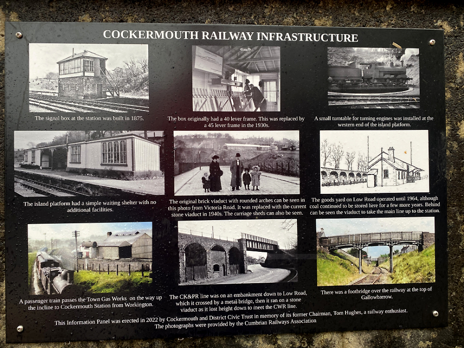
Some old scenes from the Cockermouth area.
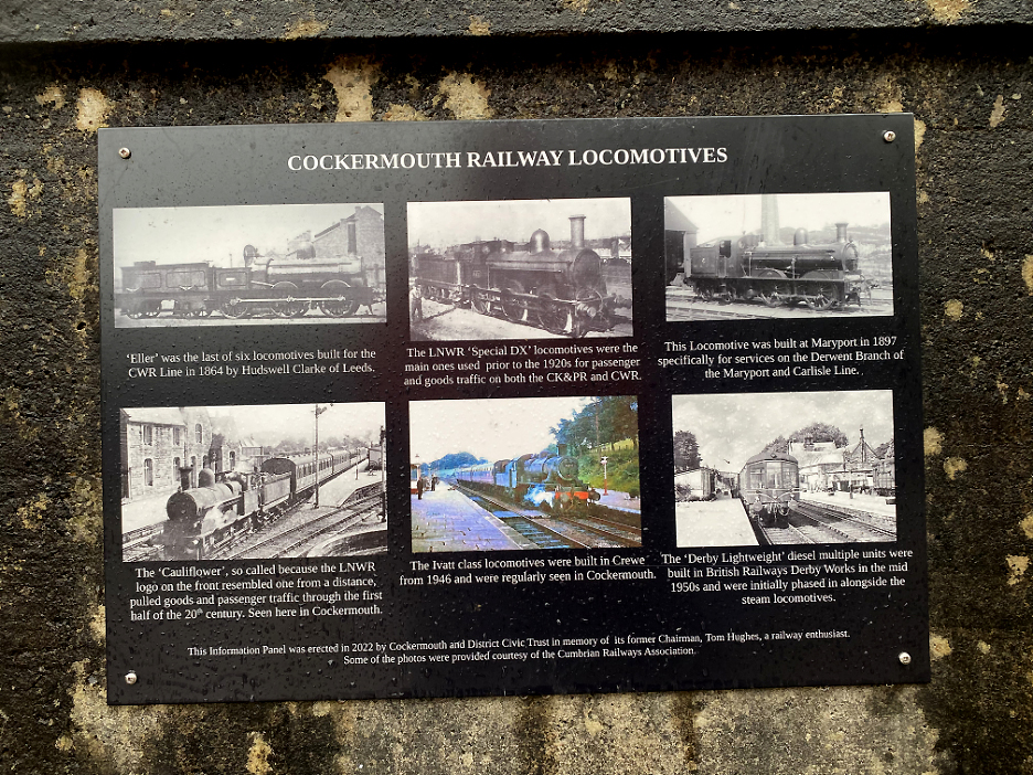
For train enthusiasts . . . the type of locos seen over the life of the railway.
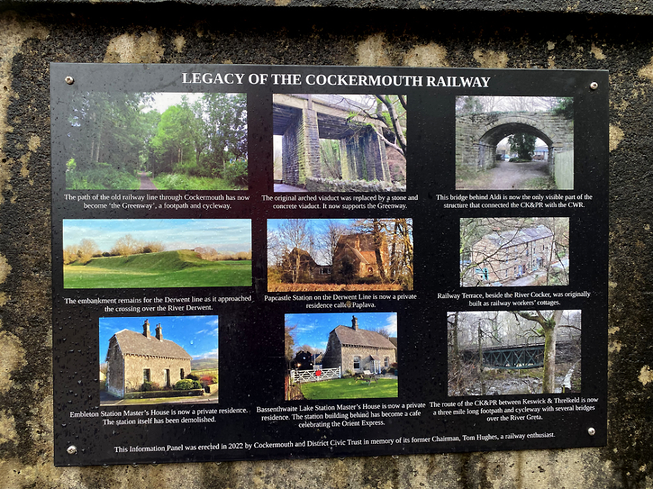
The current day legacy, some of the remaining buildings and structures of the old Cockermouth railway. [ The information boards were erected earlier in 2022 in memory of Tom Hughes, a chairman of the Cockermouth and District Civic Trust.] - - - o o o - - - Loes and I crossed the bridge but soon took a footpath down towards the river, close to the site of the old Rubby Banks Mill.
There were two mill buildings in this area. This may well have been one of them, but I'm unsure of the heritage of what is now a residential dwelling.
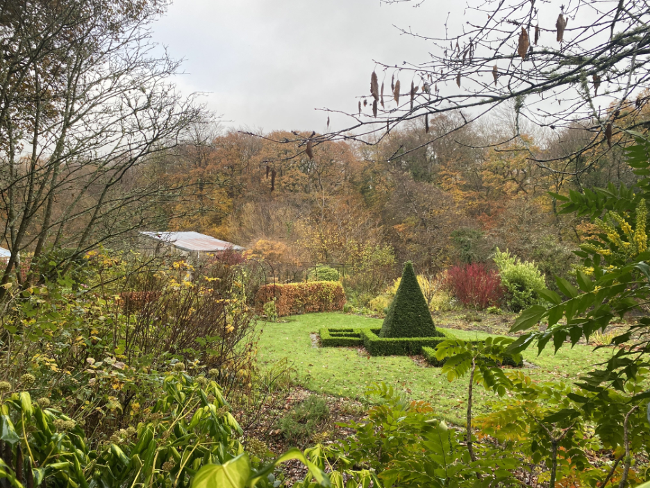
The ornamental garden sits beyond the remaining part of the old Rubby Bank Mill that sat next to the river. (If mills are your thing, check out the link at the base of this page.)
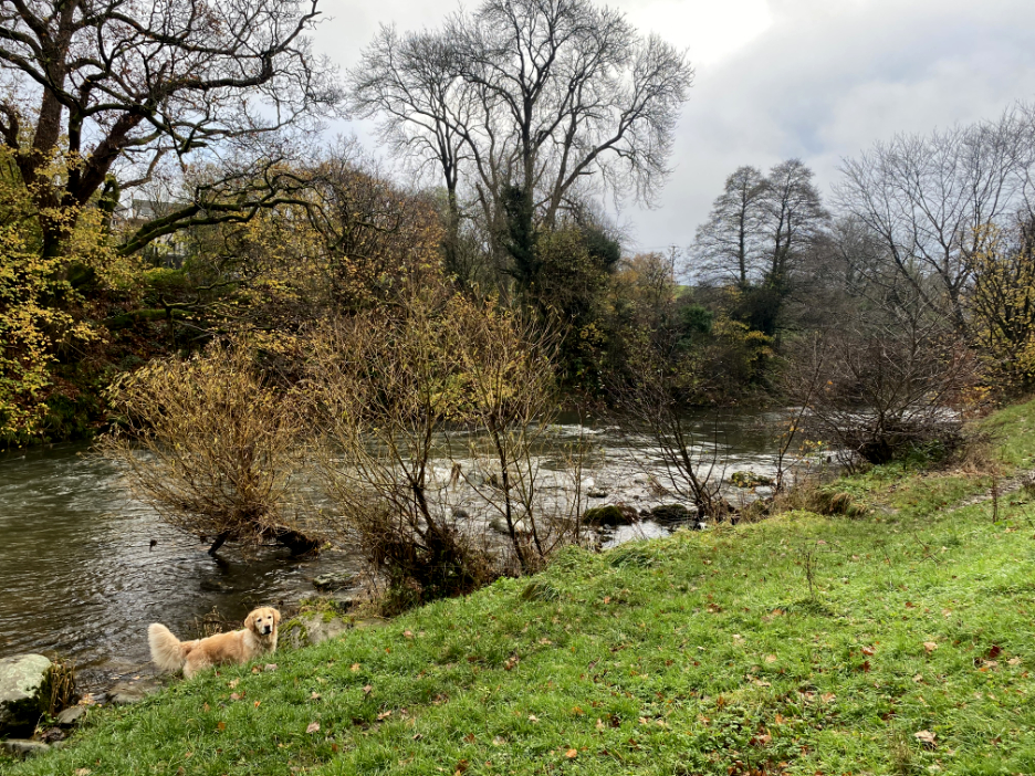
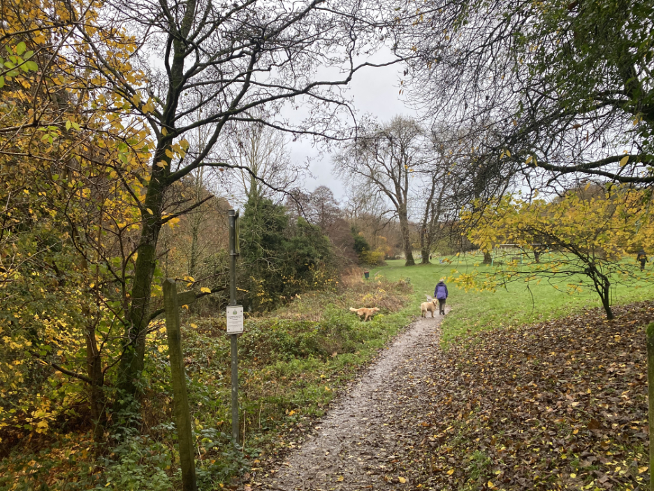
We walk closer to the river as we take the track through Harris Park . . . Dougal is delighted and samples the water !
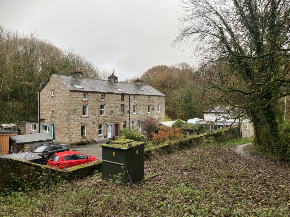
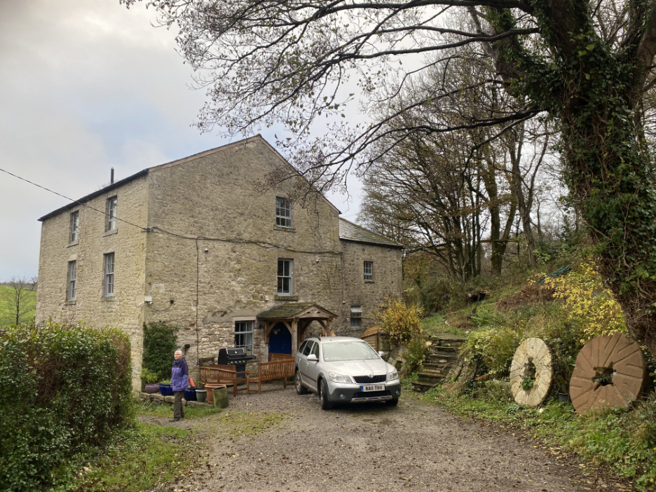
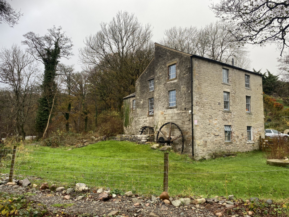
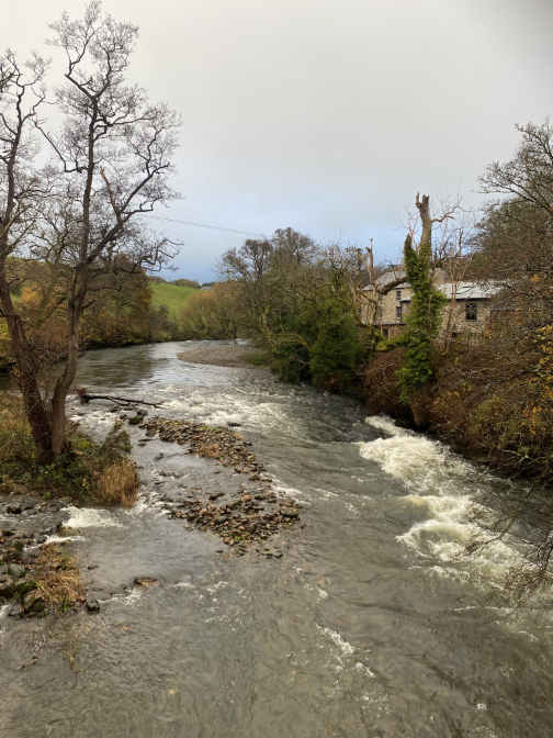
On the outskirts of town is "Double Mills", once a Youth Hostel, now a private house.
The name comes from the fact that there were two mills in one, the second being a later addition to the original.
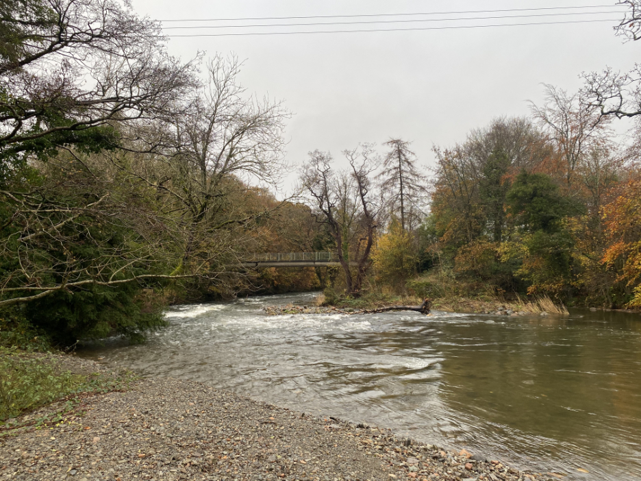
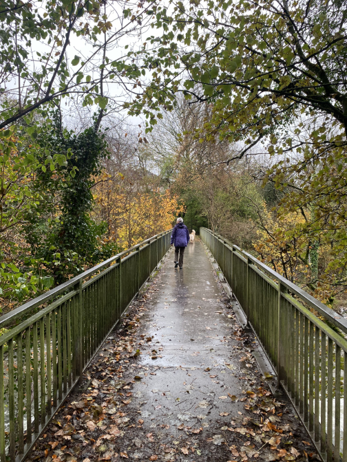
Loes and I walk the footpath down to "the beach". In fine weather there is a deep pool in the river which is popular with the locals for swimming and a grass area for picnics. We retrace our steps to cross over the footbridge that you can see in the picture.
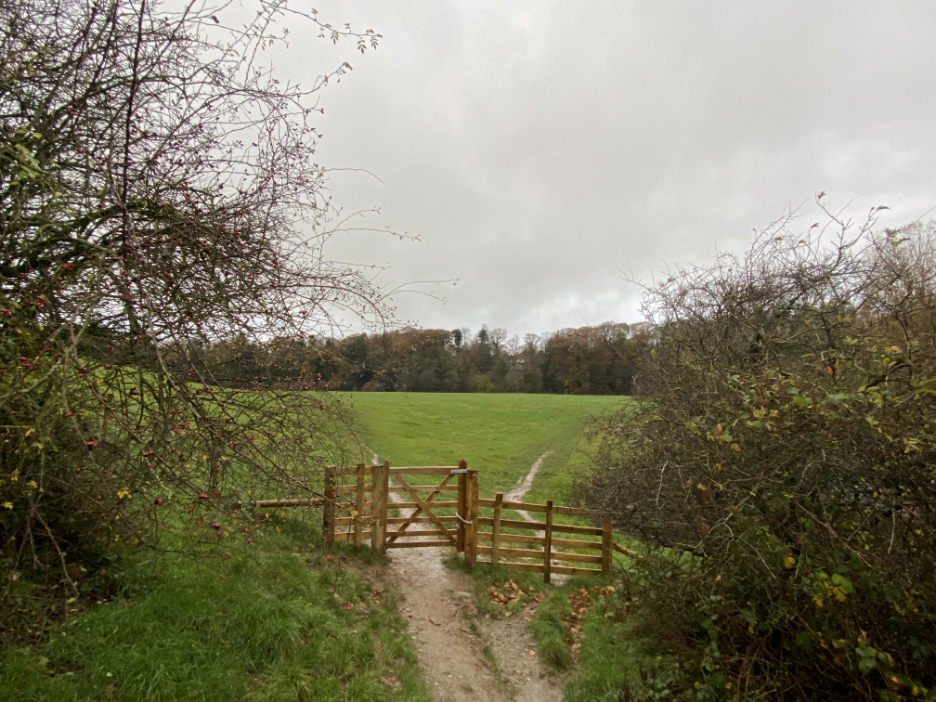
We turned to follow the river upstream on a rather slippery path to the fields. We'd do a circuit of the first one and return through the gate after enjoying the views.
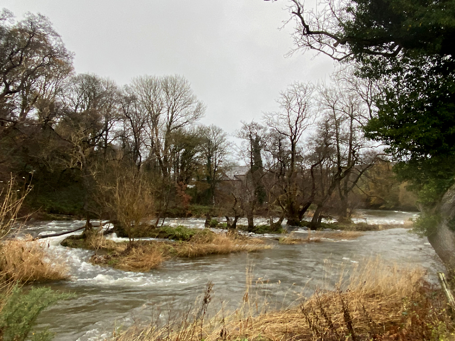
There's a small set of rapids in the river alongside the field and the islands would have formed part of the weir for Double Mills, now seen here on the opposite side of the river.
This park has swings and various modern (grown-up) exercise equipment. For some reason there was no-one out keeping fit . . . perhaps the weather has put them off !
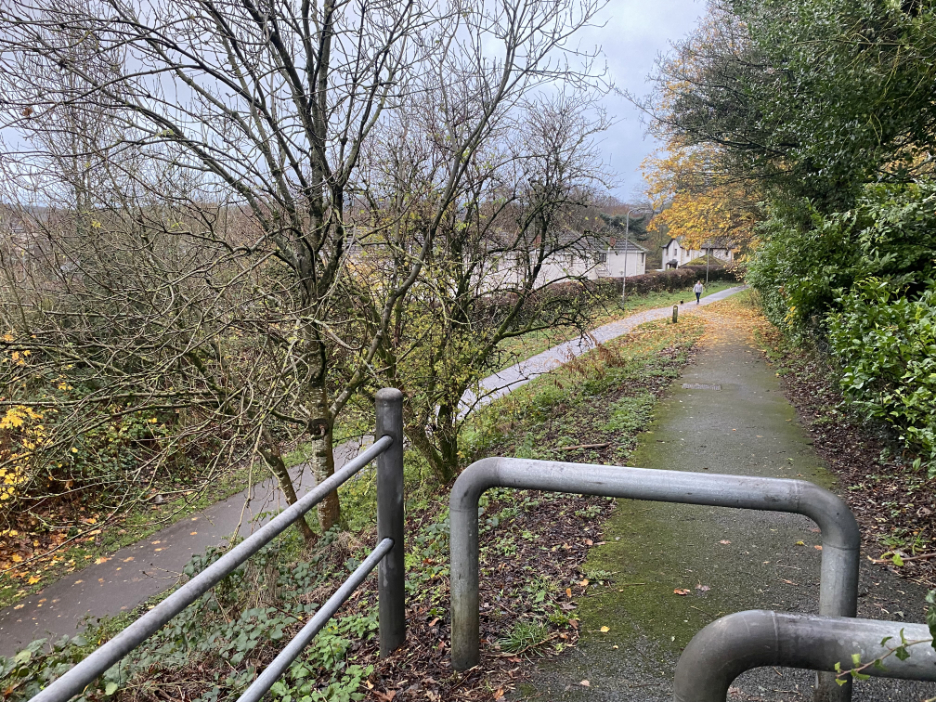
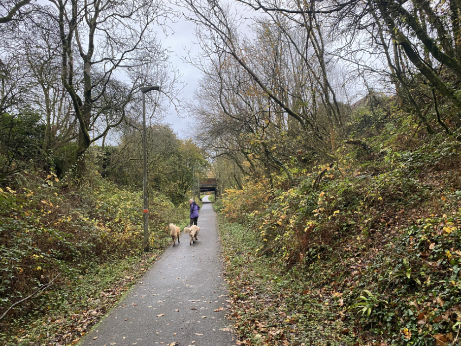
Back to those familiar thick tubular posts that characterise the railway footpath.
Re-tracing our steps now . . . looking down on the old Tweed Mill / Atlas Works site. The grey wall at the end is an old warehouse but the main five story mill has been demolished and replaced by modern housing.
The railway track, which possibly also used to serve the mill, will lead us back up towards the Lorton Road bridge.
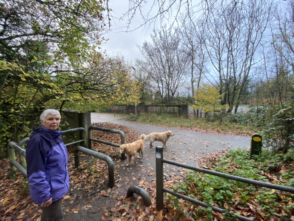
I think this is where we came in . . . time to find the car up on the main road above and head for home. - - - o o o - - - |
Technical note: Pictures taken with my iPhone 11 pro camera.
Resized in Photoshop, and built up on a Dreamweaver web builder.
This site best viewed with . . . the "last-calendar-box-but-one" open . . . order your copies soon before they sell out !
Go to Home Page . . . © RmH . . . Email me here
Previous walk - 13th November - Castle Crag Remembrance
A previous time up here - 26th June Back Lanes and Mills, Cockermouth
[ A previous railway visit ] - 11th January 2020 - The train Now Standing . . .
Next walk - 23rd November - Ennerdale Lakeside
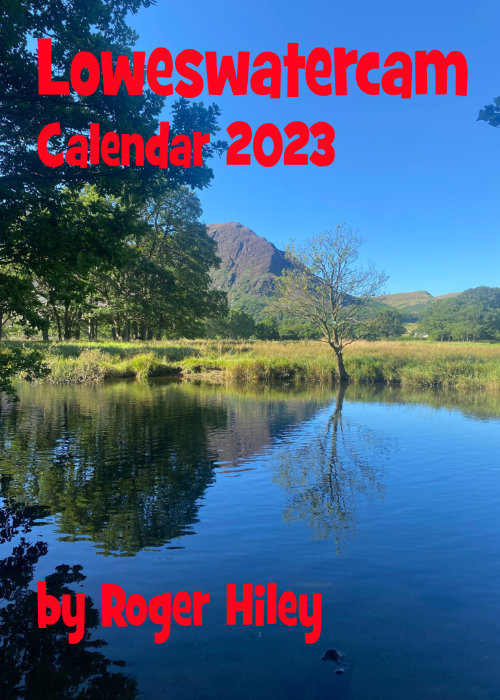 |
I am delighted to offer you the chance to buy The 2023 Loweswatercam Calendar. On sale now ! For the 14th annual edition of the calendar we have been looking back at the year to bring you twelve months of Loweswater pictures and Cumbrian scenes.
Click here or on either picture to see the full details. £12 a copy (plus postage + packaging if required) £1 of every calendar sold goes to support the Air Ambulance and Cumbrian Mountain Rescue.
|
 |