|
|
|
 |
Remember: Press F11 for a
full screen view of this page. |
Web Counter when published 1
987 365 |
|
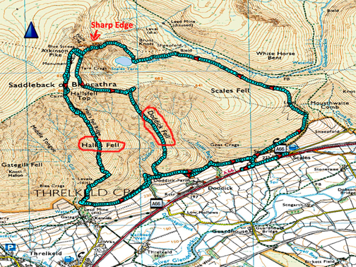
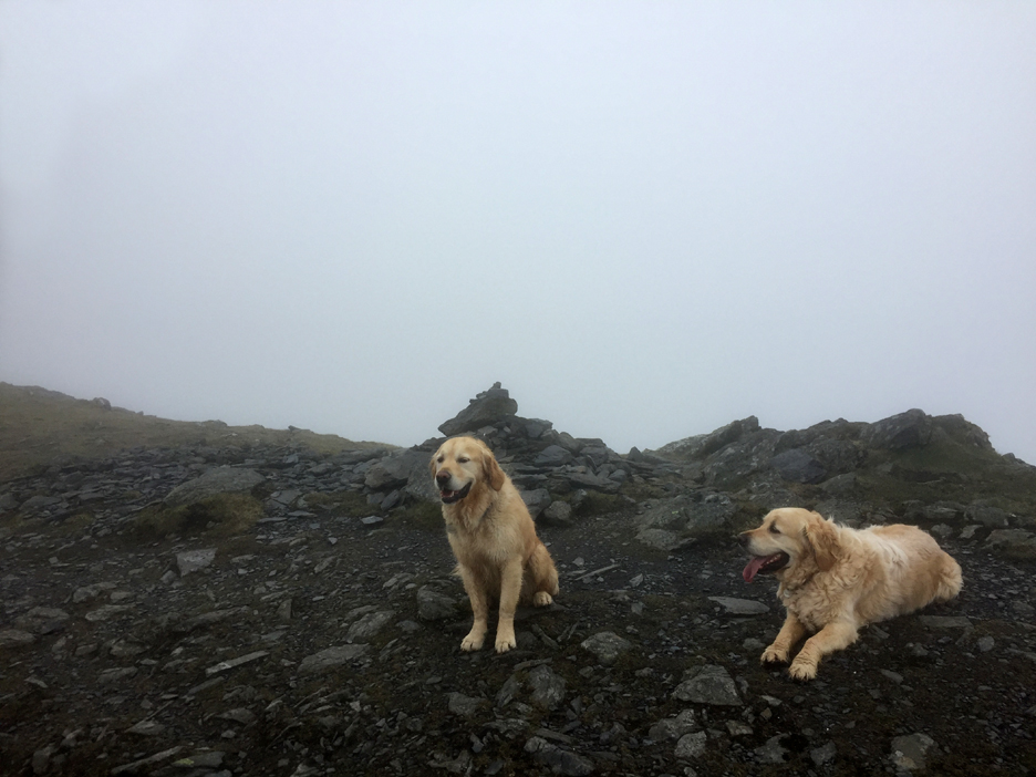
" Blencathra - Twice in a Fortnight " Date & start time: 25th April and 5th May 2022. Mid morning starts. Location of Start : Roadside near the White Horse Inn, Scales, Cumbria, Uk. ( NY 339 267 ) Walk one : Up Halls Fell Ridge, down Doddick Fell, with Katrina. Walk two : Up Sharp Edge, down Halls Fell Ridge, with Paula. Highest point : Blencathra (Hallsfell top, Saddleback), 2821ft - 868m. Walked with : Myself plus one and the dogs, Dylan and Dougal. Weather : Sunny first time, cloudy the second.
|
© Crown copyright. All rights reserved. Licence number PU 100034184. |
|
Far, Far away in land across the sea, the north Atlantic tectonic plates moved and the Cumbrian silt stone crashed into the volcanics of Borrowdale and the Northern Fells were born. Millennia later an aeroplane left Canada and crossed that same sea and brought people who wanted to climb those fells. This day it was my pleasure to enable that to happen and allow a young lady's twenty year dream to come true . . . cue the music ;o)
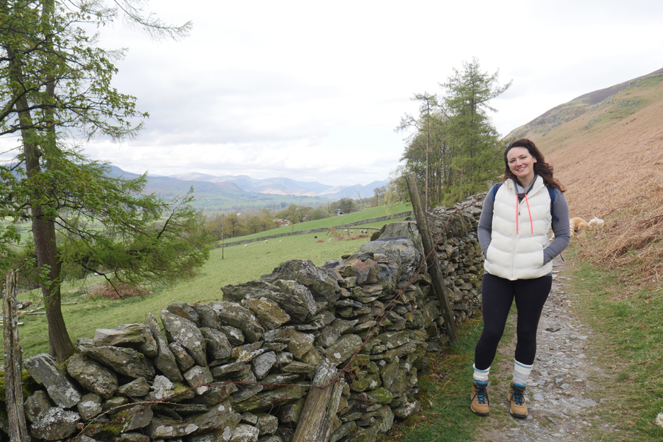
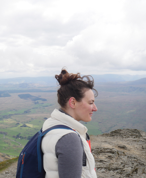
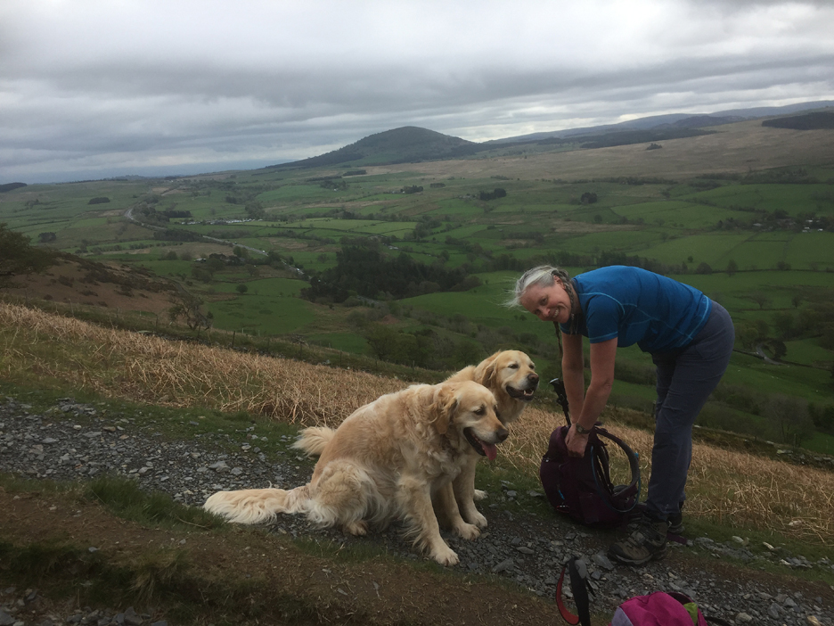
My companion for the day was Katrina. She and her mum were over from Toronto, staying in Lorton for a few days. As a child she was not allowed to climb Blencathra whilst her big sister was . . . it was too wild and dangerous for such a young person ! She's only harboured the smallest of grudges ever since.
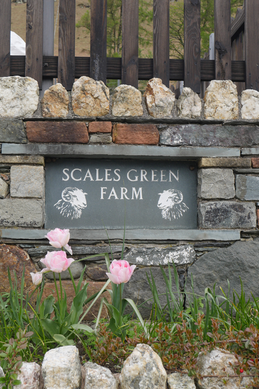
We parked in the layby on the A66, just down from the White Horse Inn, a mile or so from Threlkeld. Full marks to Scales Green Farm for a wonderful display of aubrietia in their flower garden bordering the road.
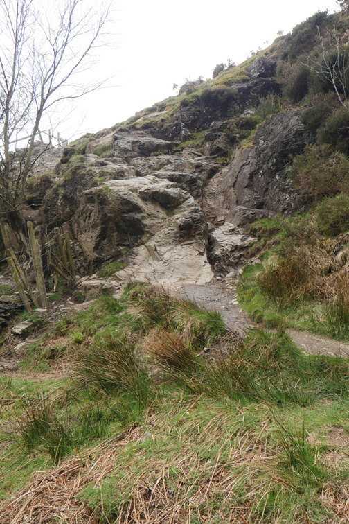
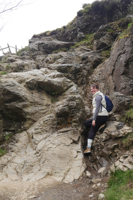
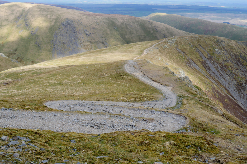
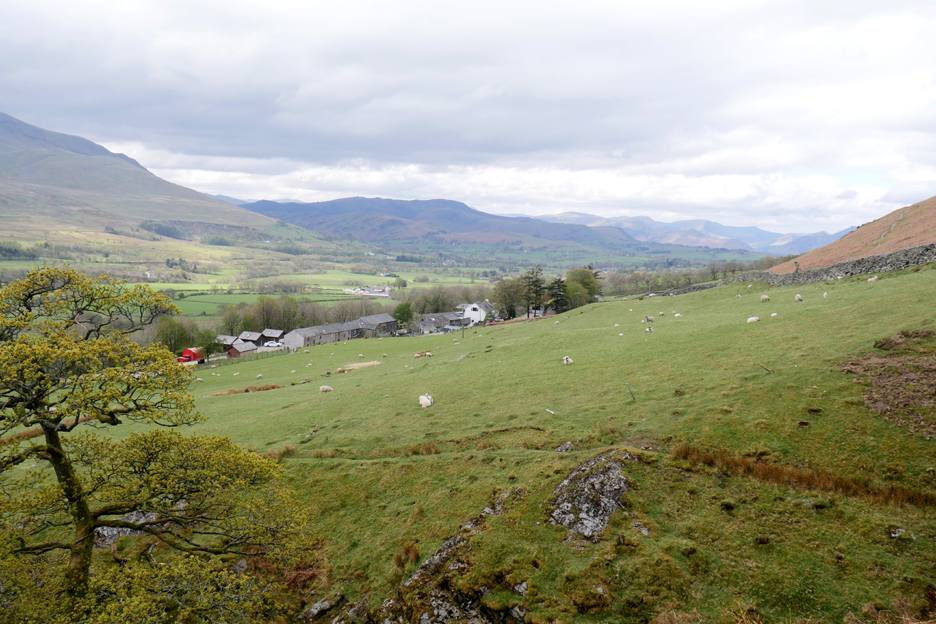
The plan was to climb Halls Fell Ridge, seen here rising directly to the summit of Blencathra. There's only one little problem to overcome before we start climbing . . . that was the crossing of Scaley Beck.
Doddick Gill crossing by comparison is easy, either by using the upper path or by dropping down to the lower one by the trees.
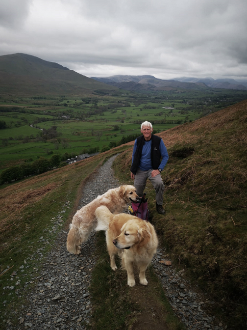
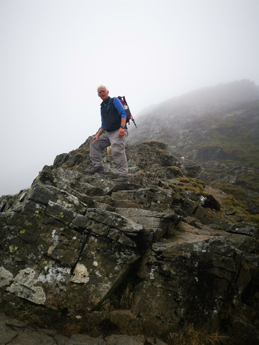
Before we reached the third valley along, Gate Gill Valley, the path we needed breaks away for a sudden and steep climb up the fell side. We meet a local Keswick Rescue Team member who was out for pleasure and fitness rather than anything more complicated . . . that's him ahead.
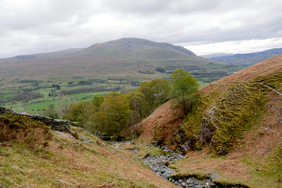
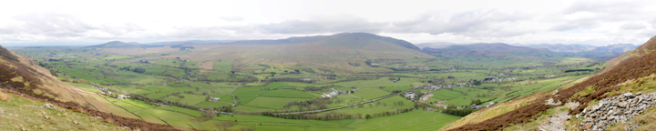
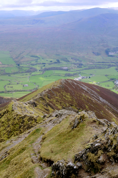
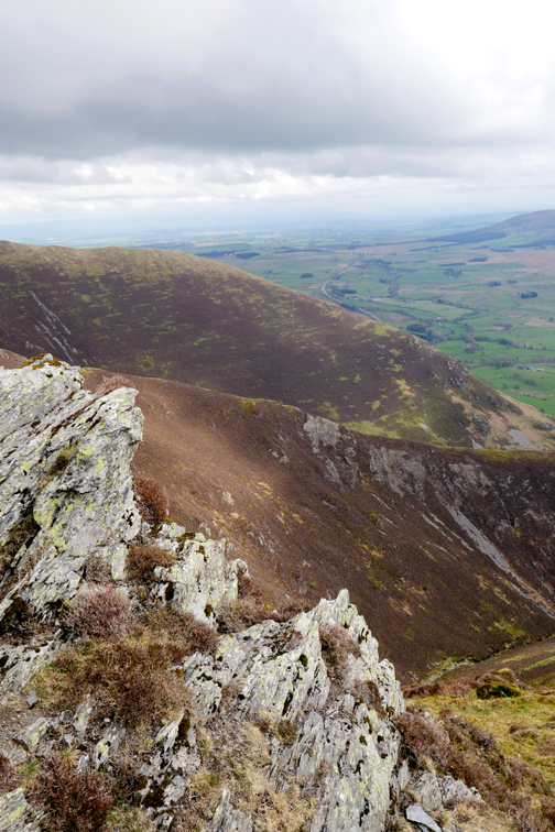
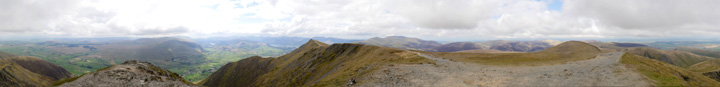
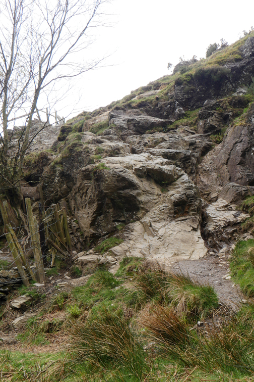
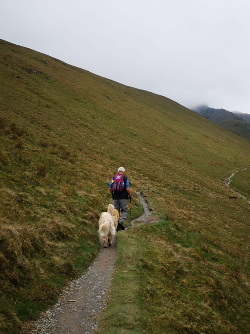
The path climbed steeply and the view expanded as we climbed . . . Click here or on the photo above for a larger annotated panorama (it looks a lot better in wide screen)
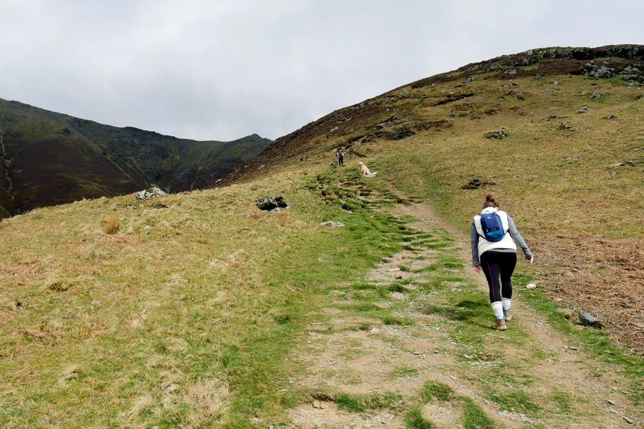
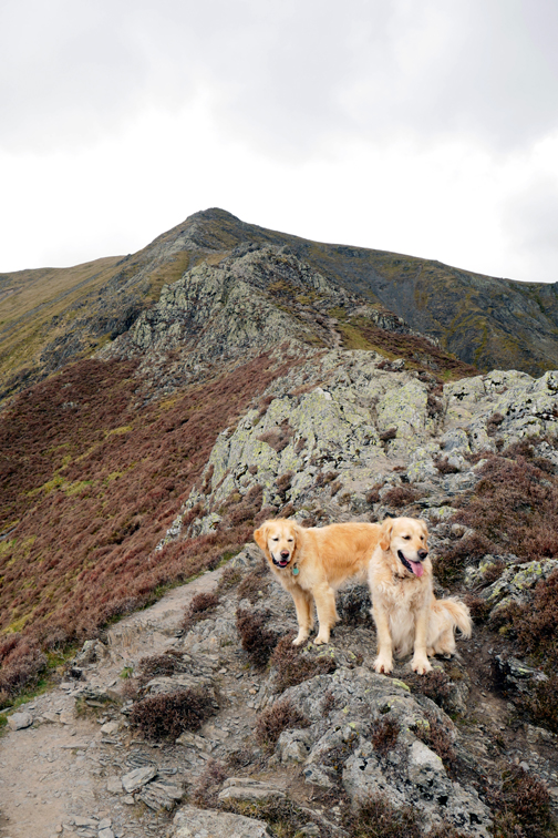
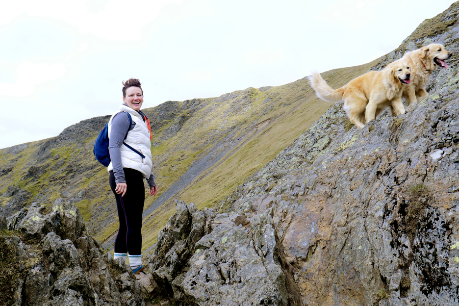
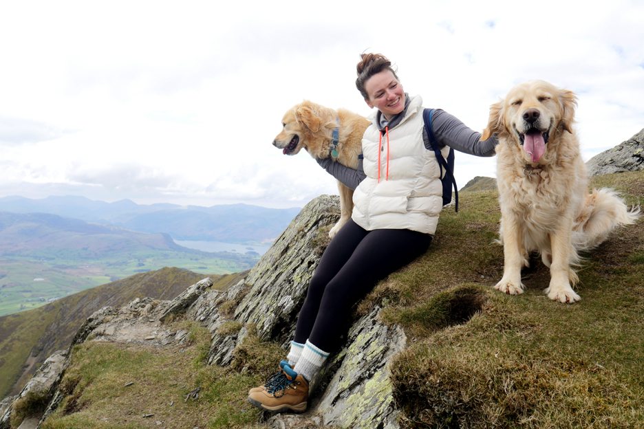
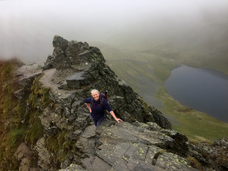
Katrina also seems suitably pleased with the climb. I define a 'scramble' as a walk where you have to use your hands, if only for balance and safety. On that basis, the dogs scramble everywhere, their four wheel drive and built in crampons helping their surefooted-ness enormously.
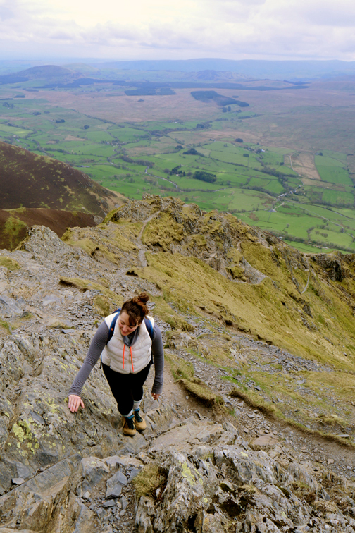
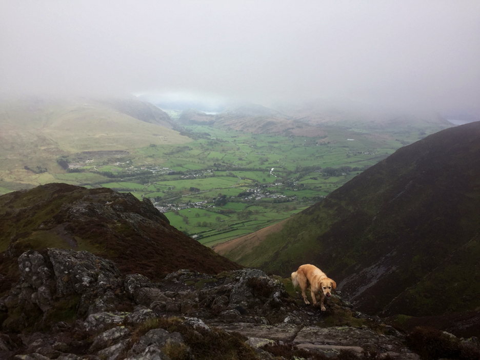
Nearly there . . . time is available to rest and admire the views, as we're close to the top.
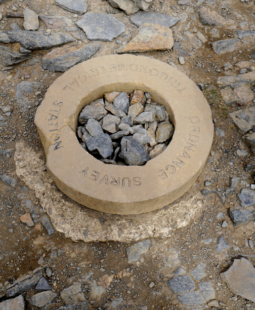
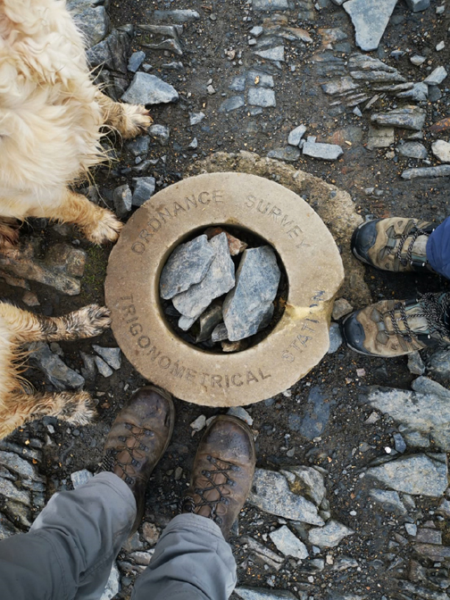
At the head of the Halls Fell ridge you walk straight onto the summit of Blencathra . . . always a rewarding climax to a climb.
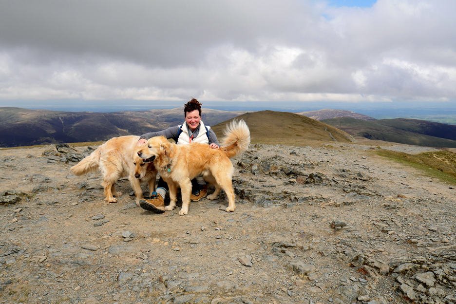
Take a moment to see it for yourself . . . Click here or on the photo above for a 360 degree annotated panorama [afterwards backspace to return here] - - - o o o - - - To appreciate the mountain to the full, we set off for a wander around the summit area.
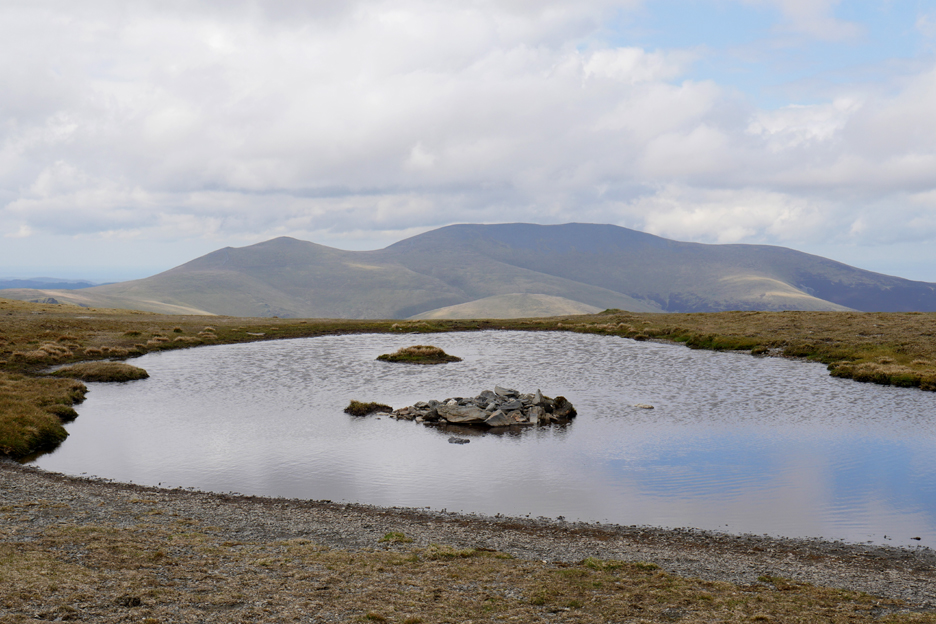
On the flat top of Blencathra is a natural tarn, filled by run-off rain water . . . there's no stream filling it.
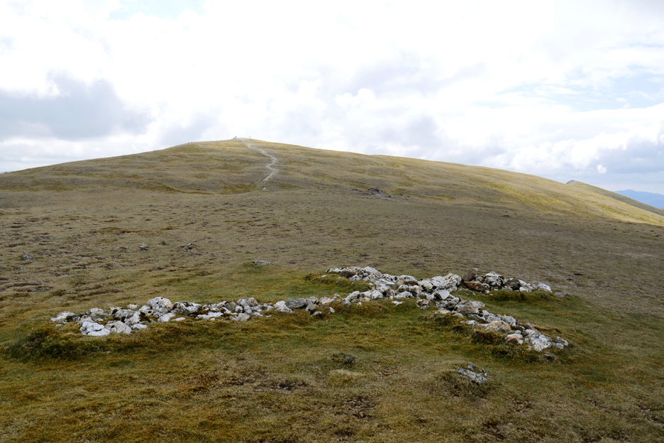
The work of one keen visitor to the mountain in the 1940's and 50's, a Mr Harold Robinson of Threlkeld. He carried numerous white quarts stones up here each time he visited, in order to form a cross half way along the ridge. [Wainwright suggests it was an enhancement of a small cross to a lone fellwalker who lost his life near the summit - Northern Fells p33]
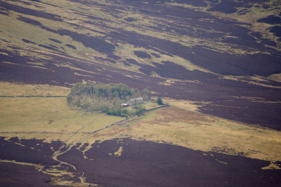
A more distant view from the top is that of Skiddaw House surrounded by its protective trees. It was built as a Hunting Lodge but is now an Independent Youth Hostel.
We walk across the 'saddle' of 'Saddleback', the alternative name for the mountain and reach Atkinson Pike, the right hand summit of the ridge when viewed from the A66, Penrith approach to The Lakes. - - - o o o - - The views down from here showed Katrina the softer nature of the northern slopes, with the sun on Bowscale Fell being particularly bright today.
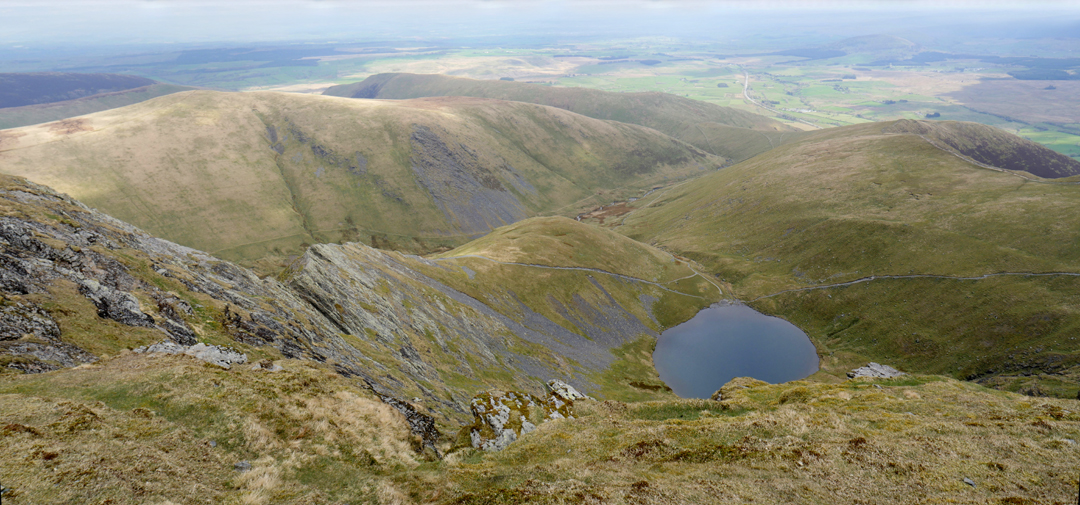
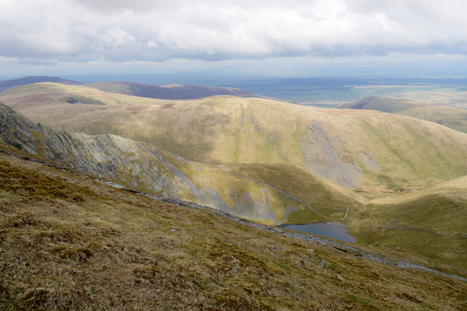
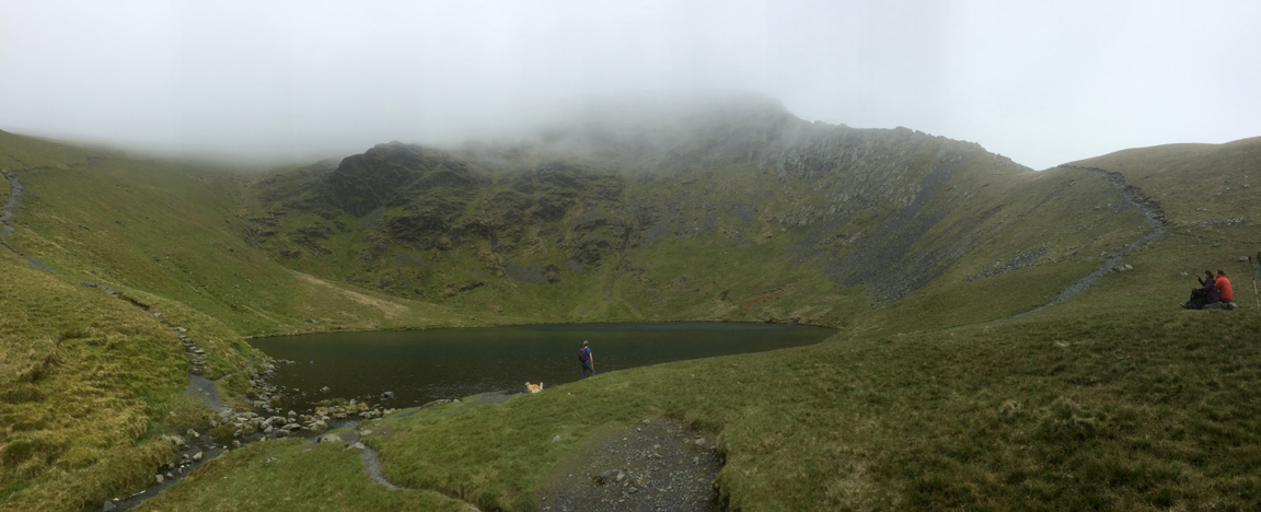
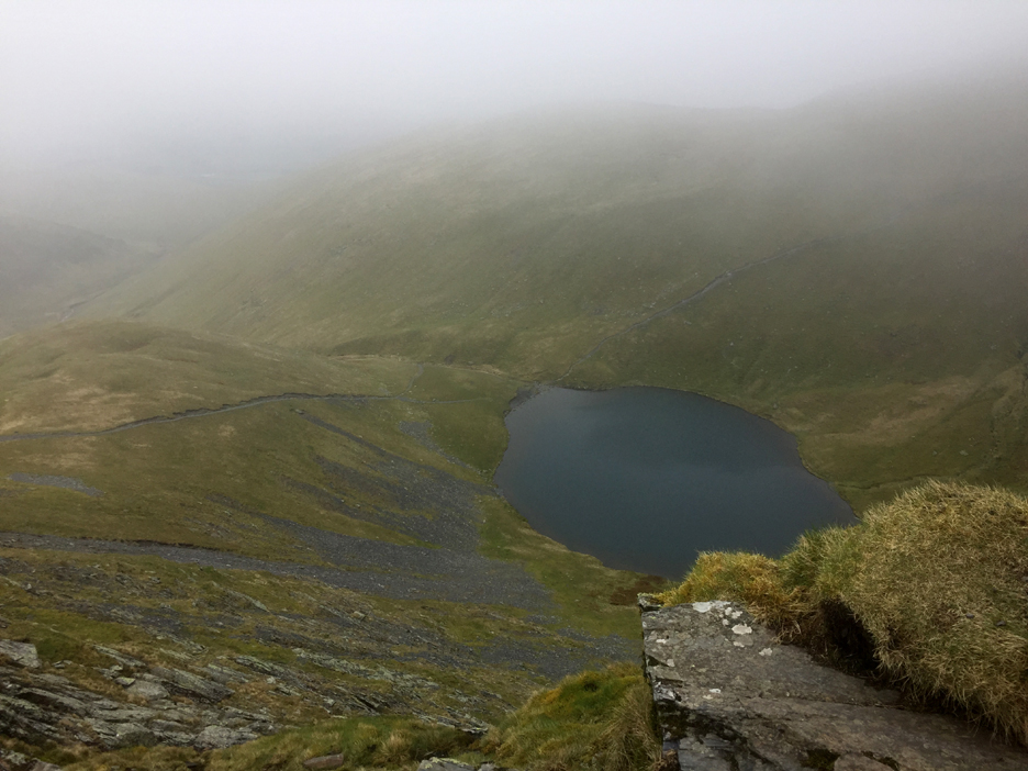
Turning once again and heading back towards the main summit, but this time on a more easterly path that would give views down to the classic glacial Scales Tarn.
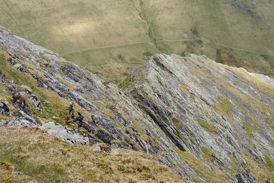
Bordering the cwm in which the lake sits is the mountain arête more commonly known as 'Sharp Edge'.
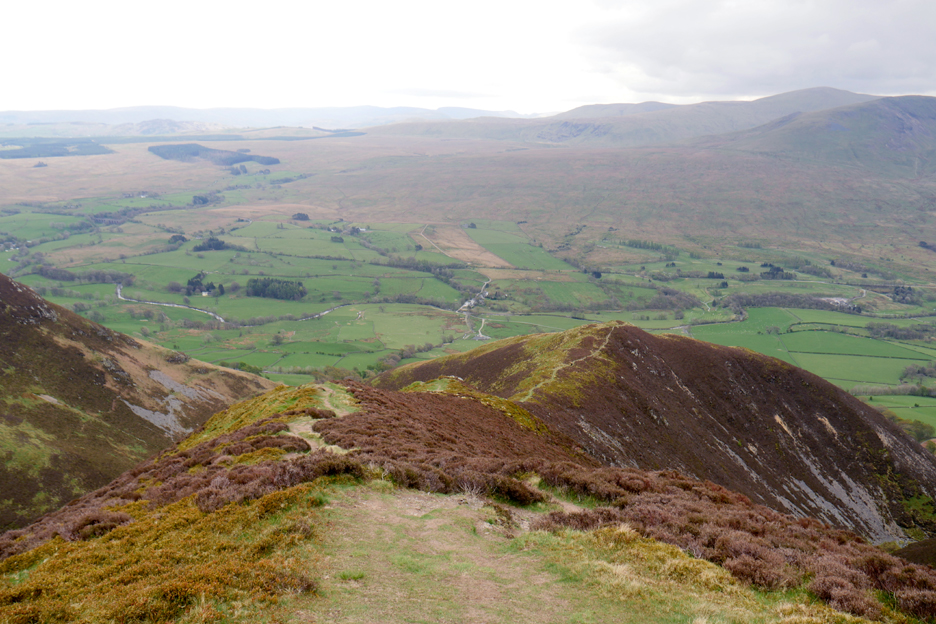
Sunshine on Souther Fell as we head towards the southern (front) slopes once again.
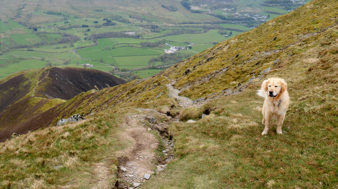
Down the horrible zig-zag track built to reduce erosion on the high fell. Our descent path can just be seen leaving the track to the right on the last bend.
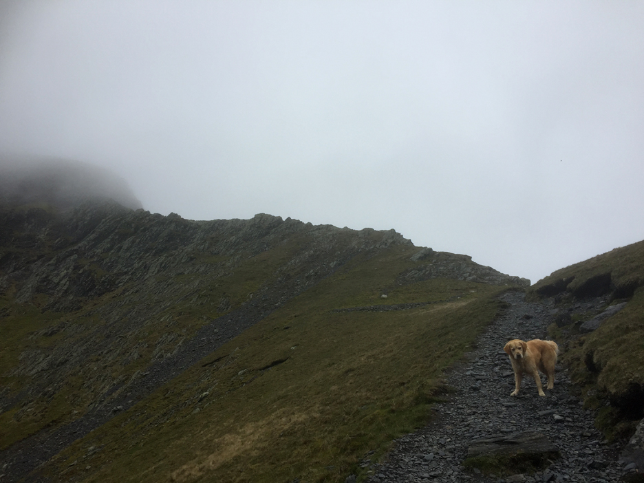
Dougal's found it and is leading the way down to the Doddick Fell ridge.
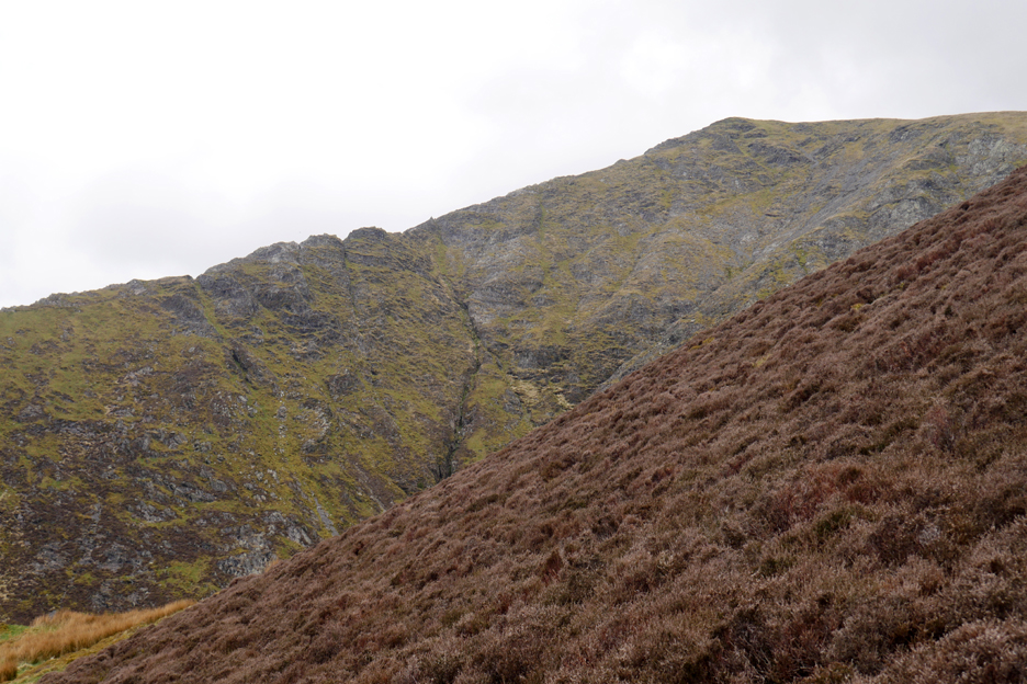
Our descent is much less of a scramble than Halls Fell, which we can see across the way.
Positively horizontal now . . . but there's still is a bit of height still to descend.
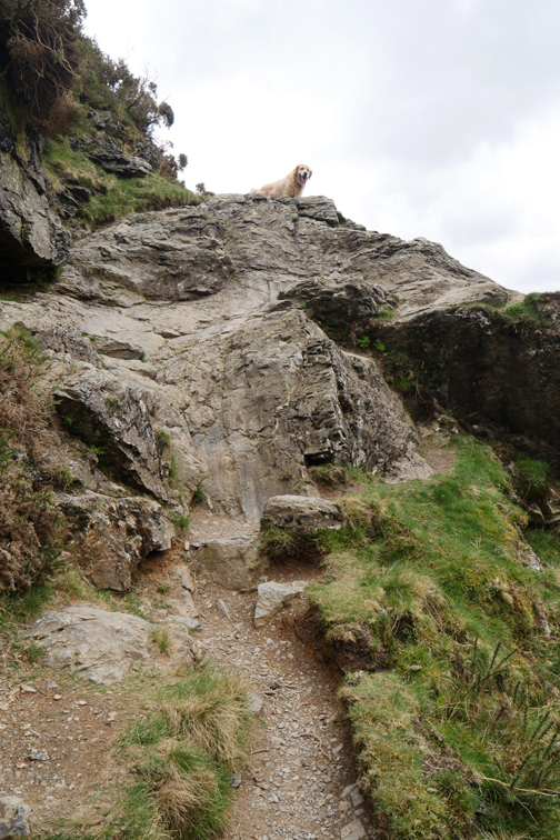
Safely down at valley level as we look across to Doddick Farm. Who used the name first, the farm or the fell, is a mystery ?
Scales Farm below us now means we are close to the end of the walk.
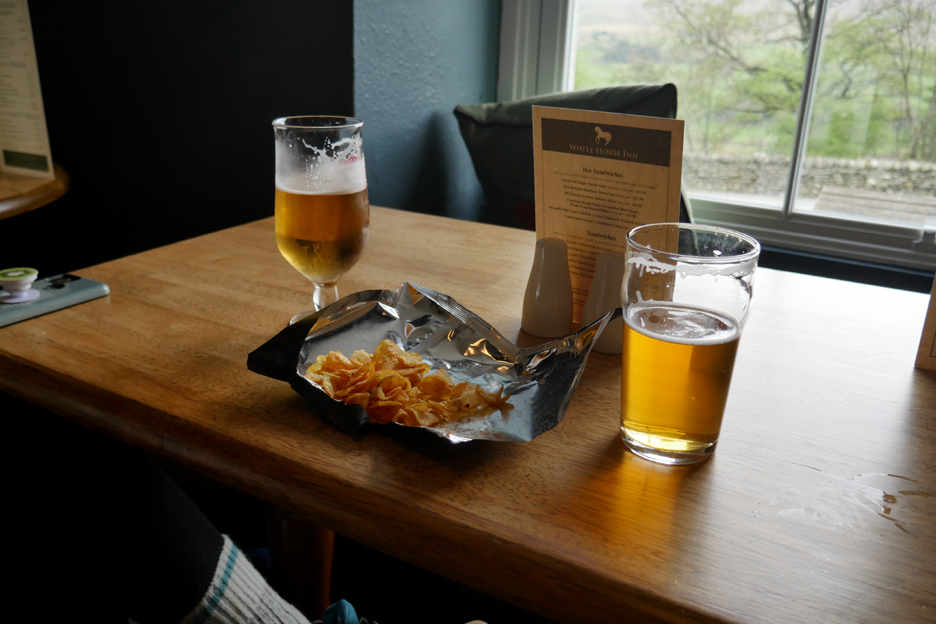
That's convenient . . . a re-hydration station suitably placed next to the main road.
Appropriate refreshments on offer . . . a beer and (wait for it) vegetarian Black Pudding and mustard flavoured crisps ! - - - o o o - - -
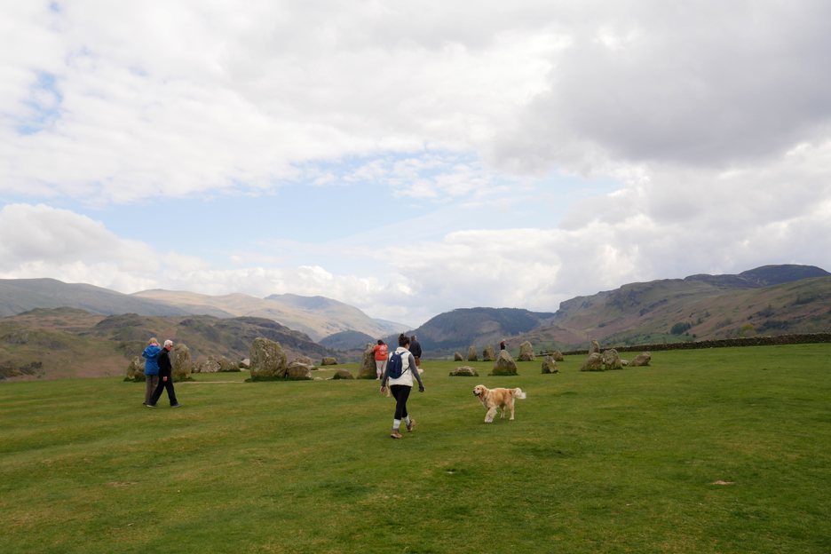
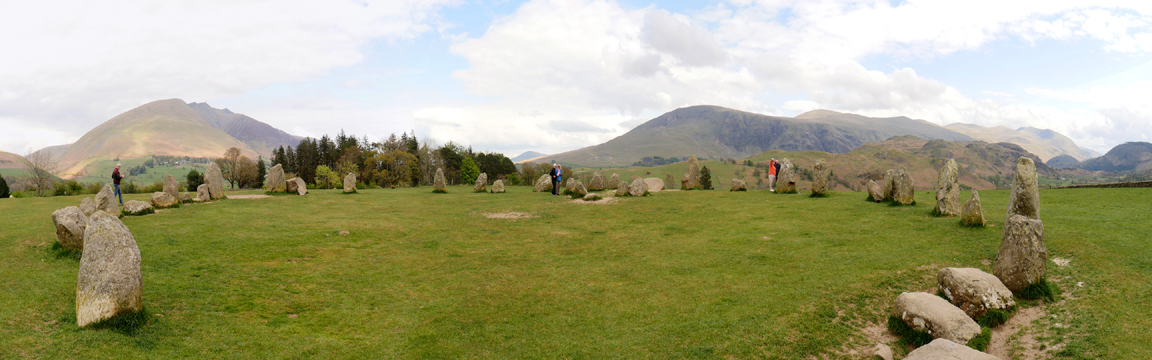
As Katrina hasn't been back in Cumbria for many years, I diverted to Castlerigg Stone Circle to show her the local sights.
The ancient stone circle is reputedly older than Stonehenge in Wiltshire.
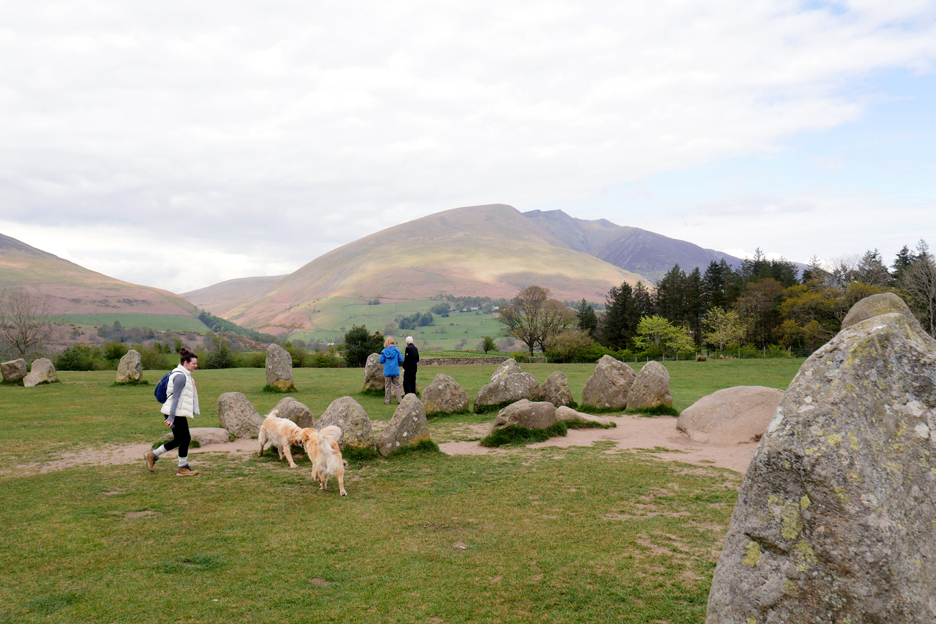
Most of the stones . . . and the important view I wanted to show her . . . that of looking across at Blencathra, a mountain that she had wanted to climb for the last twenty years . . . a climb she has now achieved.
- - - Walk Two - - - Sibling rivalry is a wonderful thing, and when my own daughter visited me ten days later she too announced that Blencathra was a fell that her brothers and sisters had climbed . . . but not her !
So it was on May 5th that I found myself climbing Blencathra for a second time in ten days. Paula expressed a desire to climb Sharp Edge . . . so after leaving the road we turned right not left.
It was a warm day but the weather wasn't as good . . . the cloud was shrouding the tops. Sharp Edge is never good in the wet . . . but we set off to check it out.
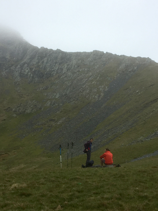
Time for a quick stop at the tarn for refreshment and contemplation.
Then it was onward and upward towards the ridge.
The rock was dry enough, the grip good enough and this early in the season it didn't have that summer sheen of damp algae to make it slippery.
Part one completed satisfactorily . . . We've crossed the three sloping slabs of rock and have made it to the base of the steeper part of the climb.
The scramble from here to the top of Atkinson Pike is often underestimated. Sharp Edge is flat but very exposed, the climb is steep but still needs care and a good grip to be safe.
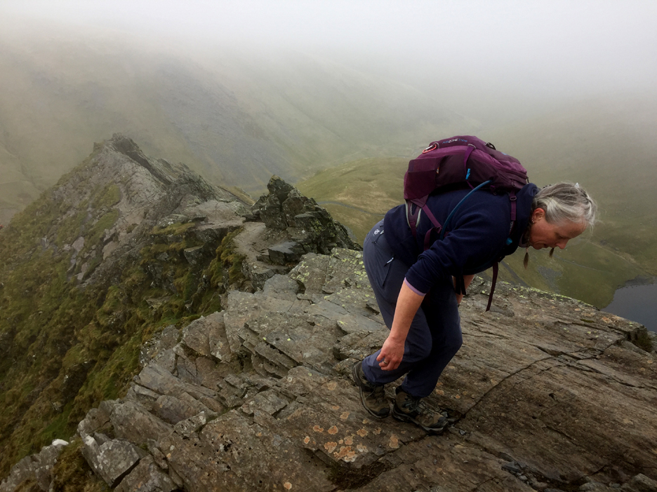
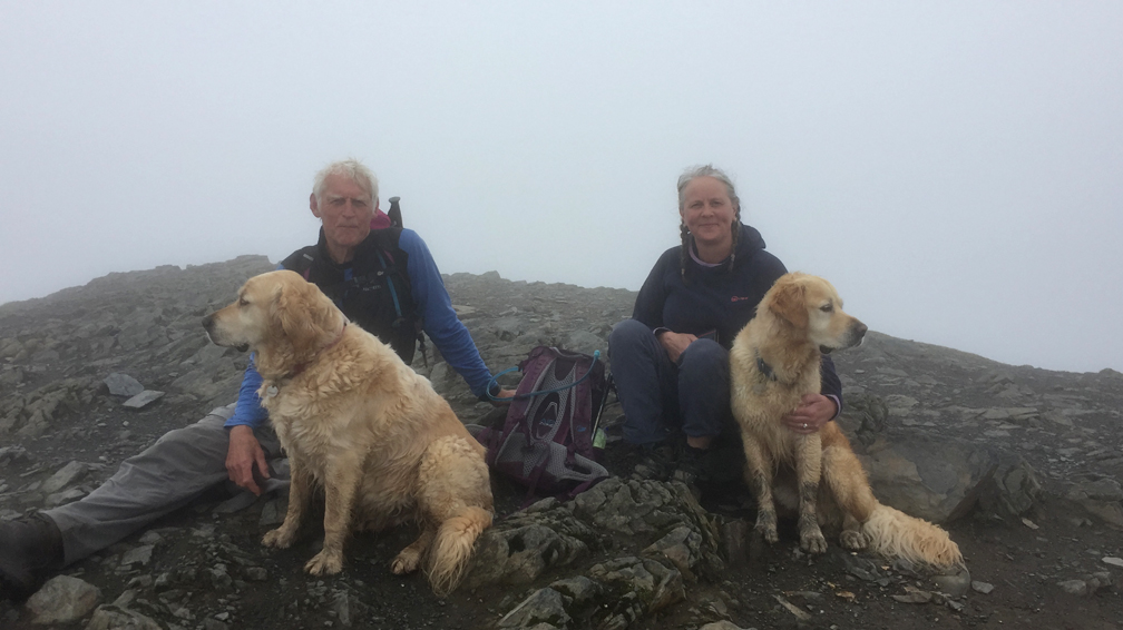
Despite the poor weather there were quite a number of walkers on the top. That gave the opportunity of reciprocal photo-taking, the result of which shows us against the backdrop of today's non-existant summit view. - - - o o o - - - Having completed the tricky climb of the fell, we decided to take the most direct route down . . . that of the Halls Fell Ridge.
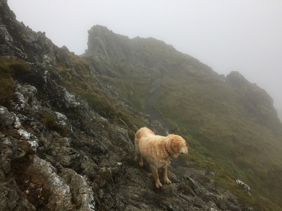
Despite having climbed it very recently, finding the simplest descent path was surprisingly difficult. The rock scrambles hid the route between grassy sections and everything looks different compared to the climb up. The cloud had become even thicker and the rock wetter, so the track demanded the same amount of care as our earlier, upward route today.
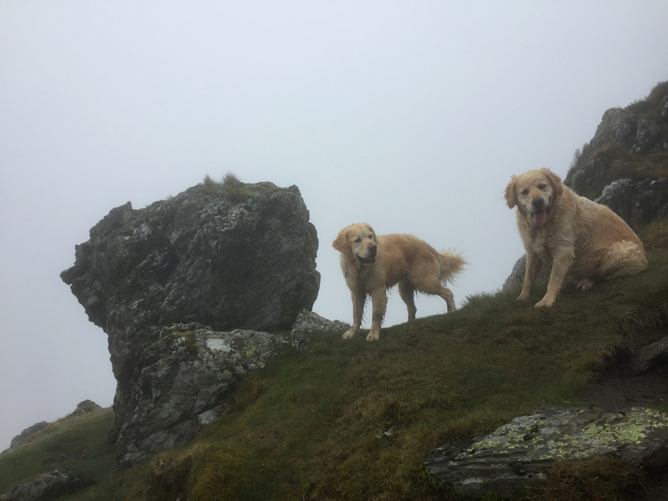
We past most of the landmarks that I remembered . . .
. . . and as we cleared the worst of the steep scrambles down, we left the cloud and were once again rewarded with long distance views.
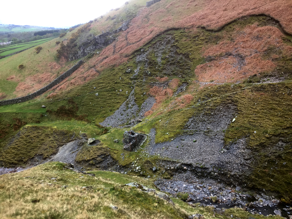
Two last photos are of the old lead workings in the Gate Gill Valley. [ My other recent walk to the Goldscope Mines made identification of spoil heaps, terraces and mine paths a lot easier today]
The old mine buildings, possible a Gunpowder Store, seen down by the side of the beck.
Paula and I also had to clamber across the Scaley Beck Valley once again, but soon we were back at the lovely flower garden at Scales Green. Now . . . if I remember rightly there's a pub not too far away from here. Cheers !! - - - o o o - - - |


Technical note: Pictures taken with my Panasonic Lumix Gx8 Camera or my iPhone for the second walk.
Resized in Photoshop, and built up on a Dreamweaver web builder.
This site best viewed with . . . a new flavour of crisps to enjoy.
Go to Home Page . . . © RmH . . . Email me here
Previous walk - 24th April 2022 - Newlands and Goldscope
A previous time up here - 28th April 2011 Blencathra via Three Edges
Next walk - 1st May 2022 - Dean Scarecrow Festival