|
|
|
 |
Remember: Press F11 for a
full screen view of this page. |
Web Counter when published 1
983 240 |
|
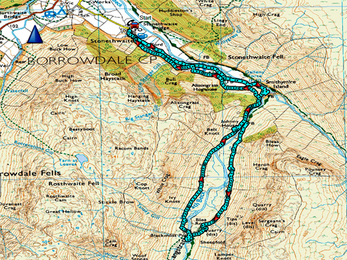
" Langstrath to Black Moss Pot " Date & start time: 20th April 2022. 2.30pm start. Location of Start : By a different red phone box, Stonethwaite, Cumbria, Uk. ( NY 262 137). Places visited : Langstrath Valley, Blea Rock, Black Moss Pot, Johnny House, Langstrath Hotel. Walk details : 4.75 miles, 500 ft of ascent, 2hours 40 mins. Highest point : Blea Rock, Langstrath, 725ft - 223m above sea level. Walked with : Myself, Loes and the dogs, Dylan and Dougal. Weather : Sunshine and blue skies, some high fine weather cloud casting shadows.
|
© Crown copyright. All rights reserved. Licence number PU 100034184. |
|
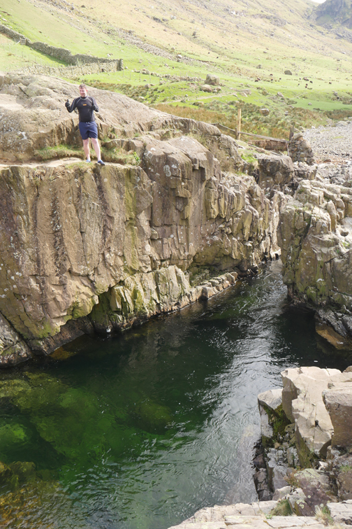
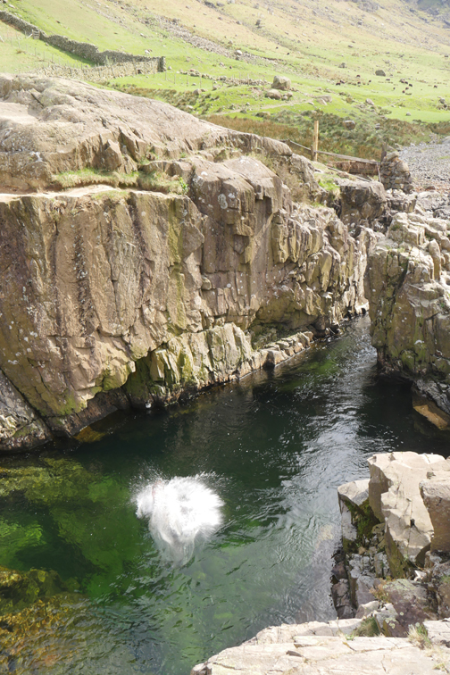
Beautiful sunshine finds us on a relatively flat walk up the Langstrath Valley, but don't underestimate the walk as the going underfoot is often rocky and the path covered by river washed stones from millennia past. Some other brave folk took a dip in the river at Black Moss Pot, a classic place for a swim !
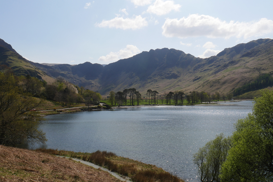
We're heading out of the valley . . . so here's a classic "leaving the valley" shot of the Buttermere Pines.
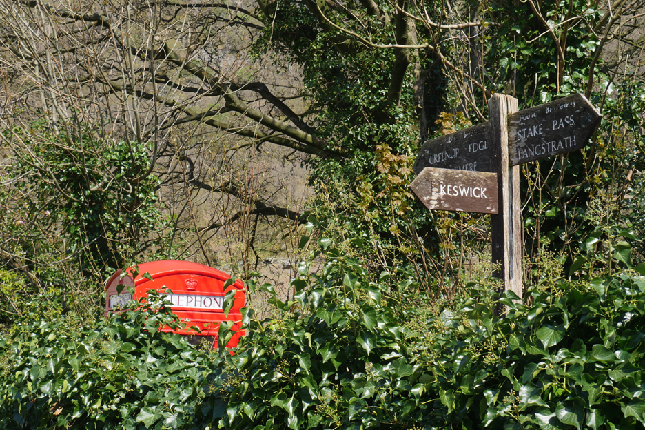
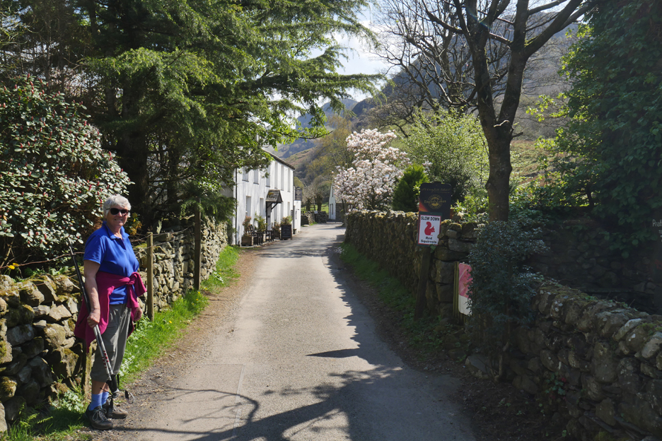
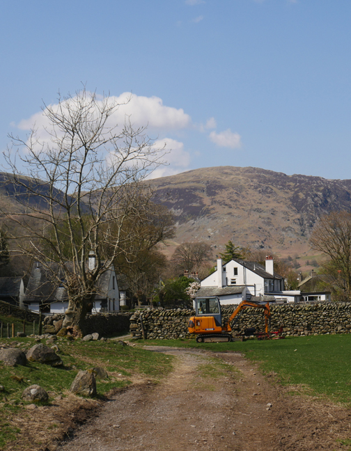
Our start point is by a different red phone box . . . this time the one in Stonethwaite. You see clearly it as you approach but it is not so visible from some angles !
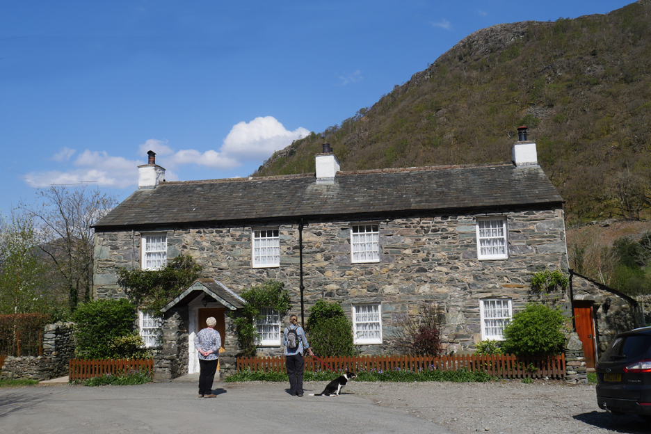
One of the classic local stone houses, but this one appears to be made of part slate, part river-washed stone.
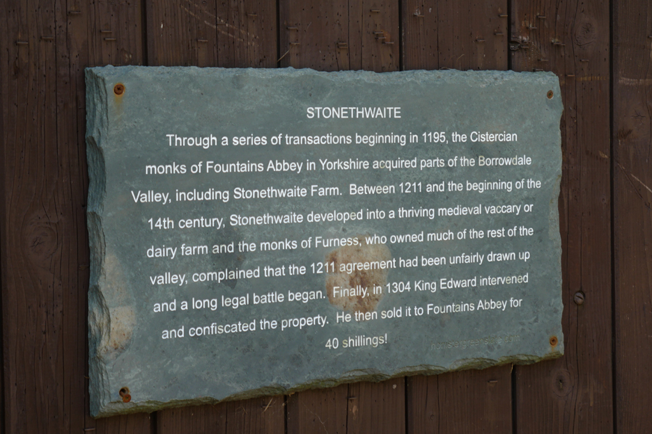
Historic information 'written in stone' on the barn door.
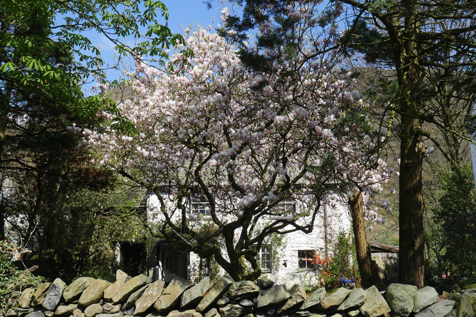
A magnificent magnolia tree as we walk up towards the hotel.
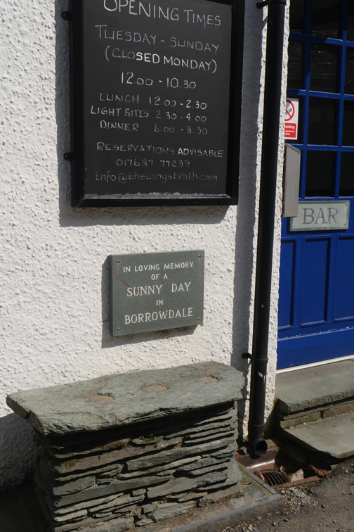
Teas and ice cream are also available from an alternative cottage in the village.
A pollarded willow alongside the public footpath through the fields. You can also walk along the parallel farm track up the valley, but we'll do that on the way back.
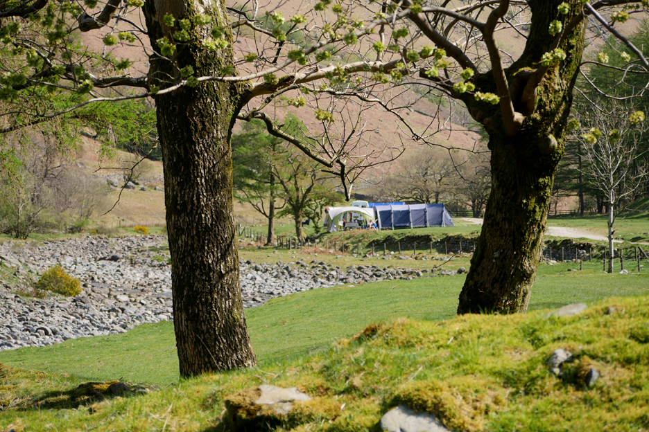
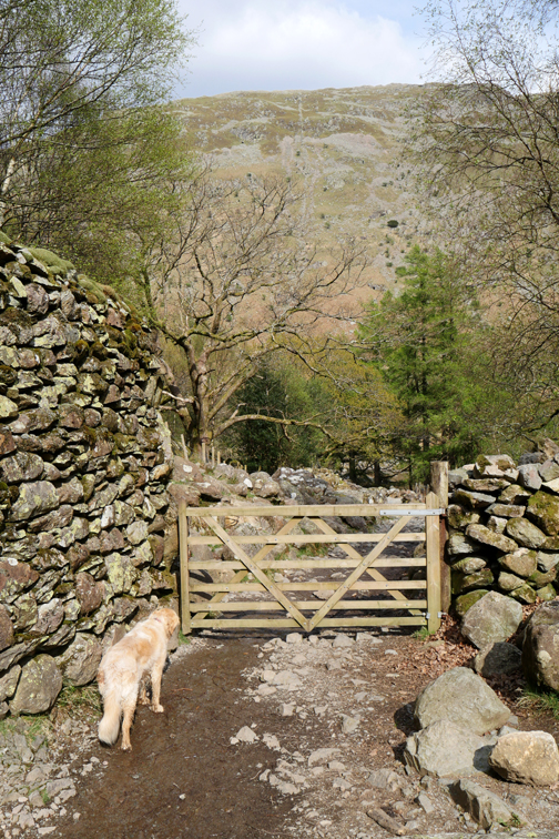
The footpath takes us through the campsite which is quieter now after a busy weekend (by the look of the full rubbish bins).
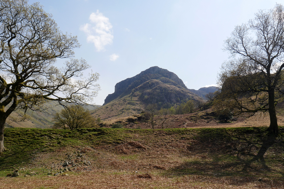
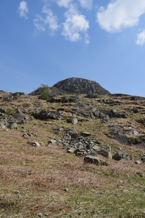
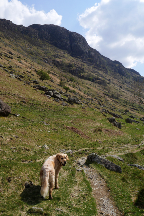
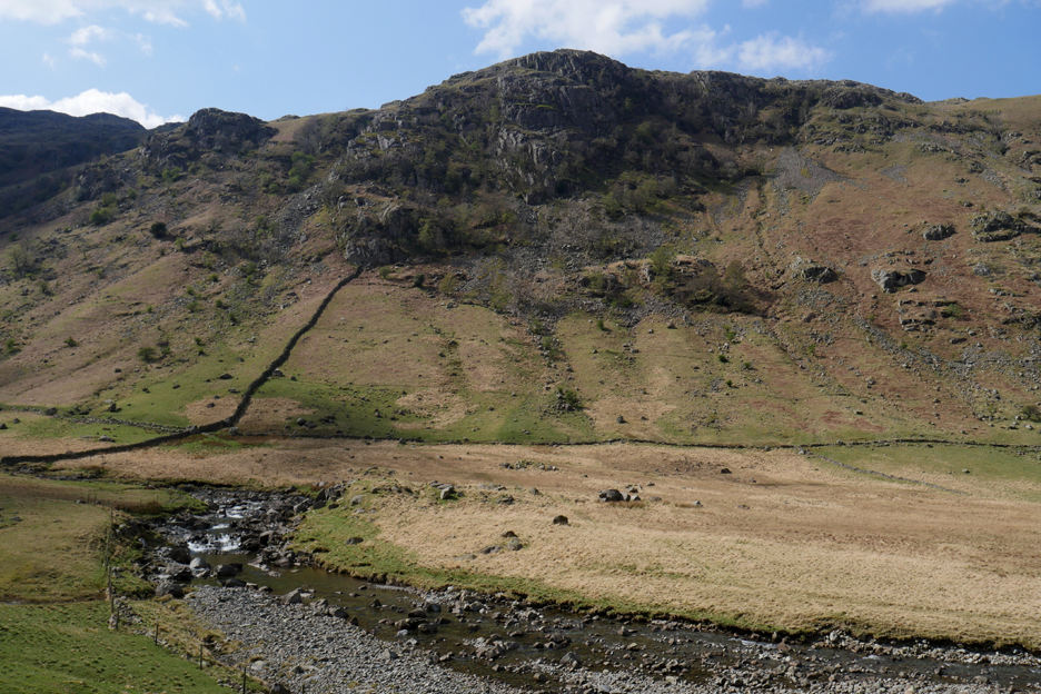
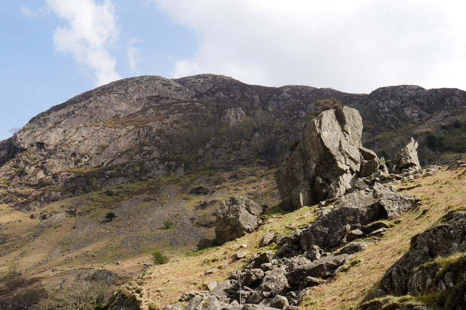
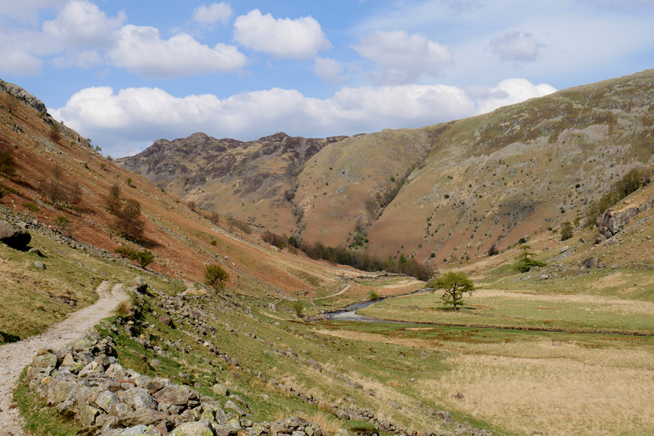
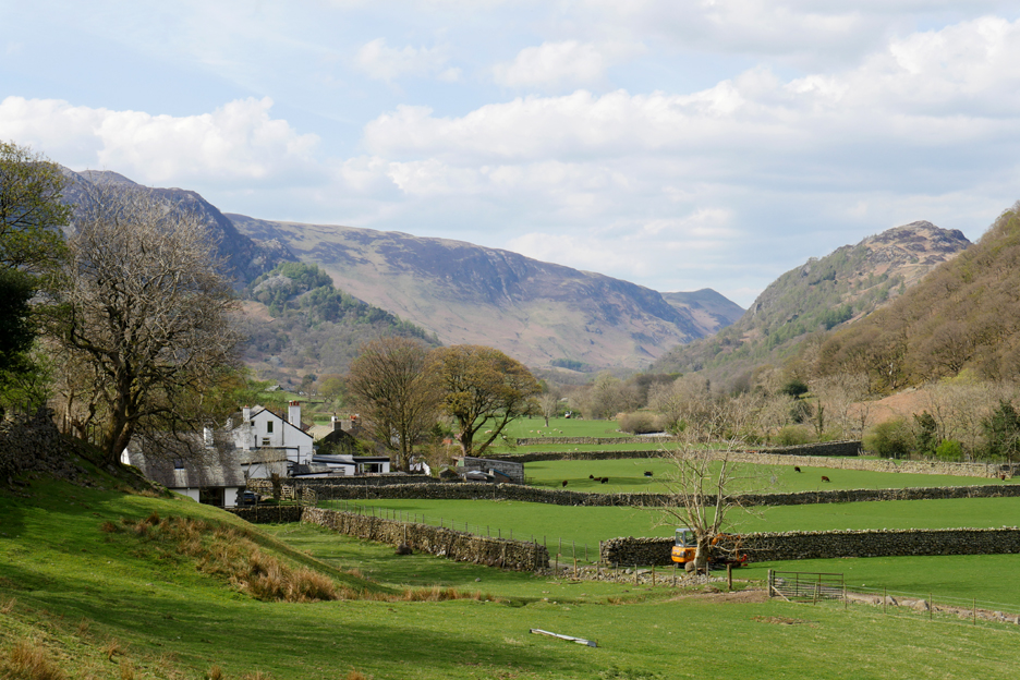
Ahead, getting larger in appearance as we get closer . . . Eagle Crag.
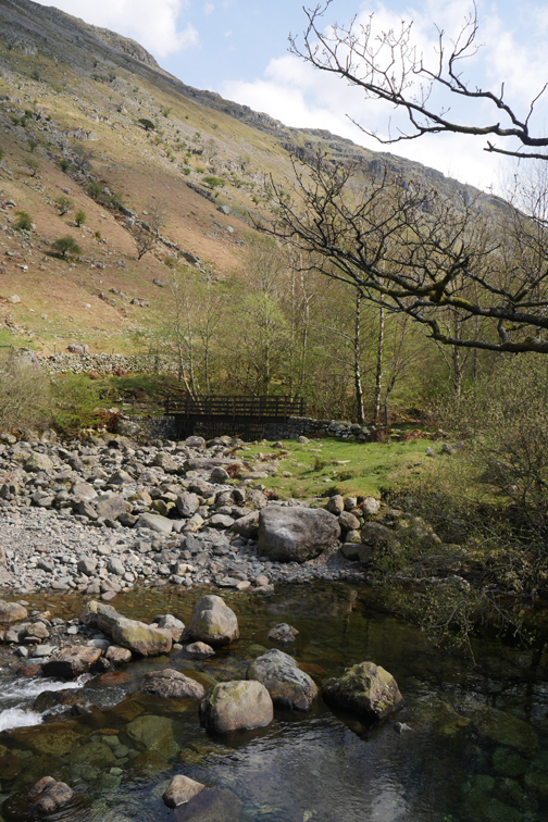
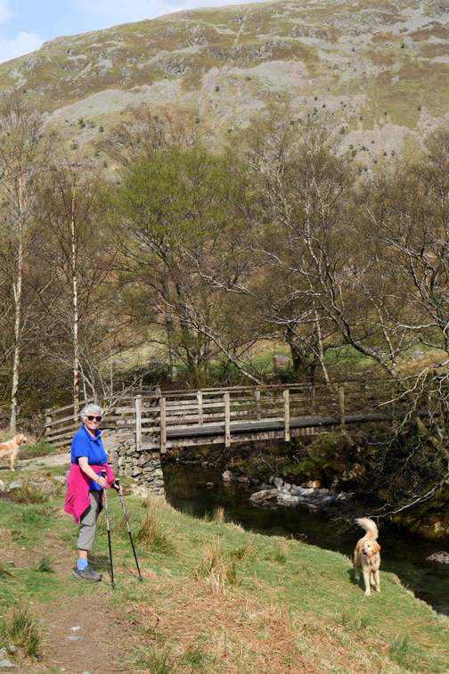
Walking up the track, we reach the first foot bridge over Langstrath Beck. It's nice to do a slightly circular walk in the valley, up one side and down the other . . . which direction shall it be today ?
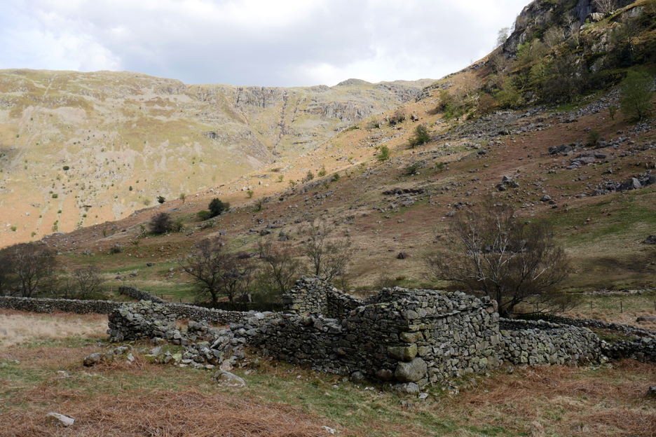
Looks like we've crossed the bridge ! Across the way is Johnny House, an old farm alongside the main track. We'll walk next to it on the way back.
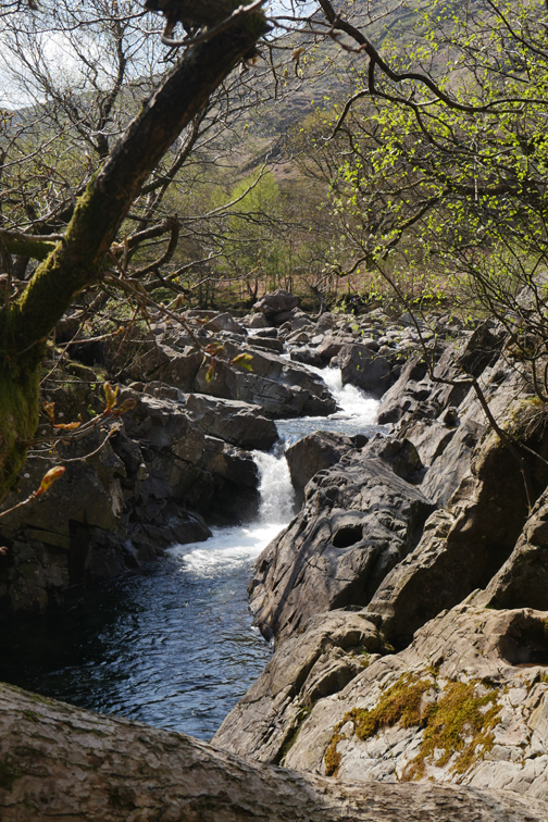
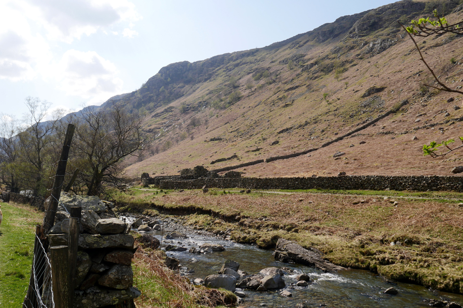
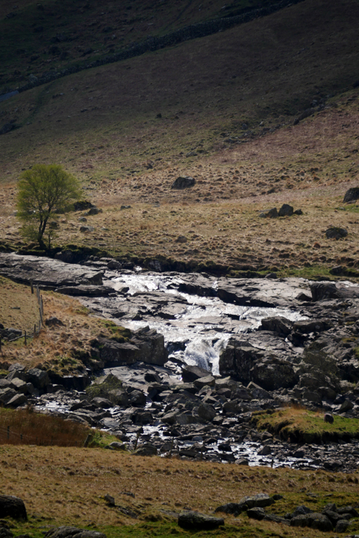
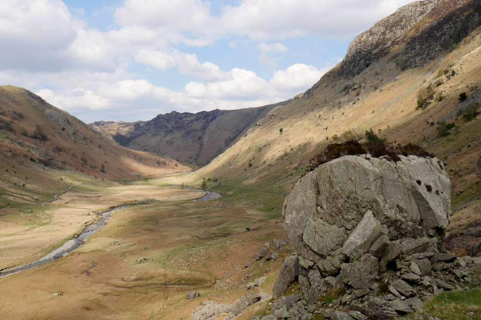
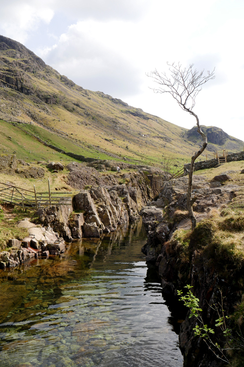
White Crag can be seen on the opposite bank as the river falls slightly over a rock outcrop. The track down the other side looks like a small wall from here.
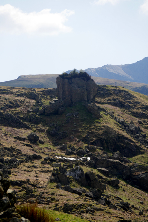
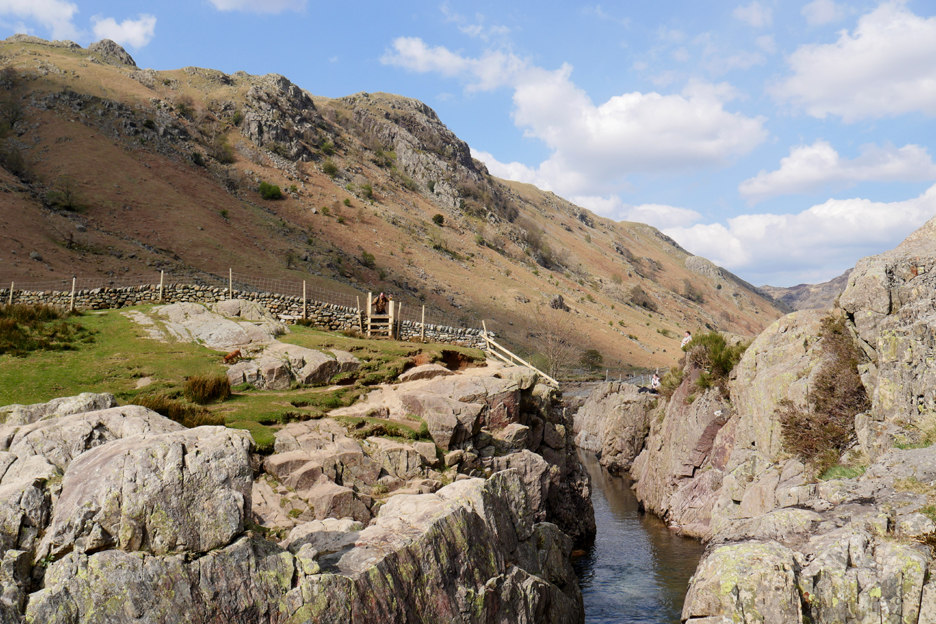
Blea Rock is an impressive boulder and one well worth climbing up the bank to appreciate more fully.
It has a commanding view of the valley . . . and a lovely hairdo of heather upon its flat top !
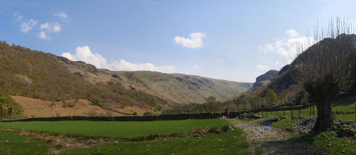
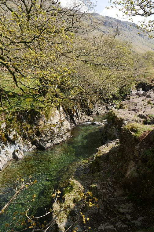
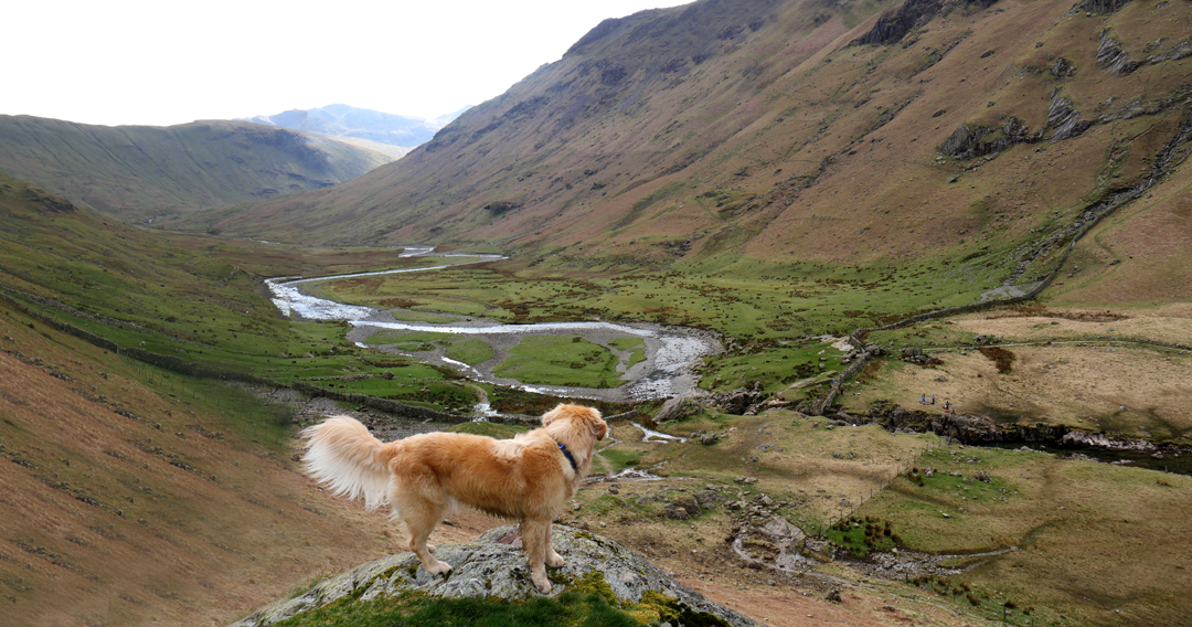
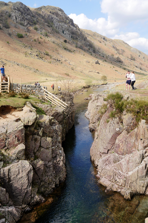
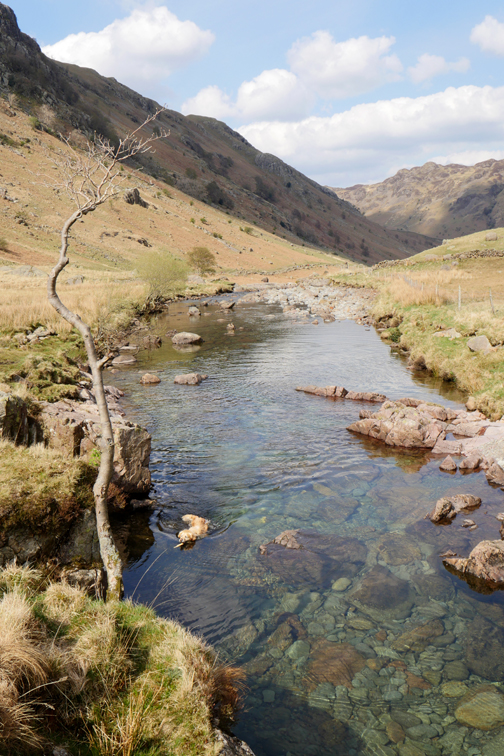
The Langstrath means "The long valley" in Norse and so far we've barely done two miles of the five and a half miles to Angle Tarn and Esk Pike from Stonethwaite away in the distance. Below Dougal now was the object of our desire, Black Moss Pot.
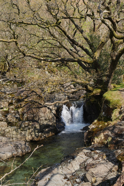
The river was easily crossed in the shallows above the falls, due to the current low river levels.
I did likewise . . . hold your cursor over the picture, first left then right, to replay the action.
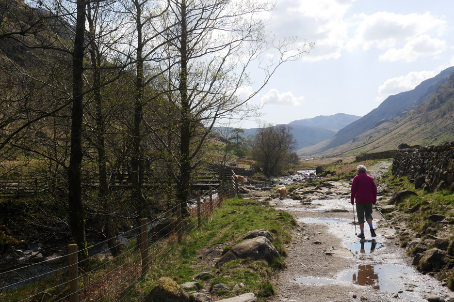
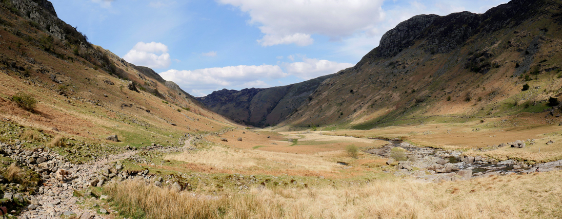
You would think the track would be the easier route, but in fact walking over the lose stones that covered it were quite hard work at times. Still, the view ahead was nice as we walked along and the colours were changing continually as the clouds cast moving shadows on the fells. High Crag at the turn of the valley was in shade which made it look quite dark.
A few minutes later the clouds moved on and colour was restored to the scene.
Johnny House alongside the track, with the lower slopes of Eagle Crag on the other side.
Rather than follow close by the river, we stay on the farm track this time and pass close by . . .
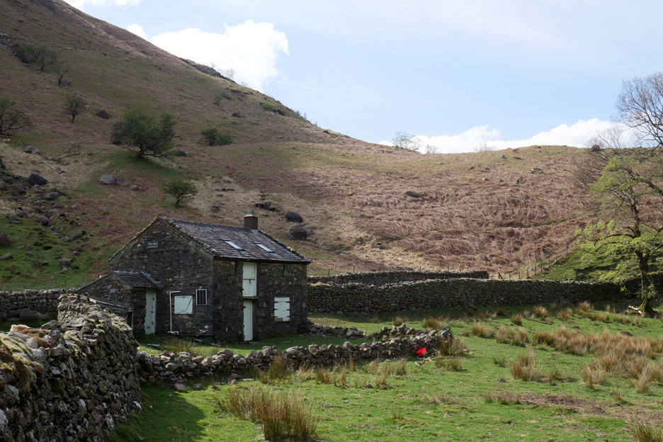
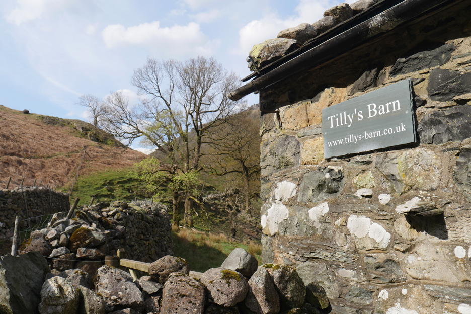
" Much more than a camping barn it's an ideal base for walkers and climbers" the website tells me.
Past the campsite and soon back to the houses and hotel in the village of Stonethwaite.
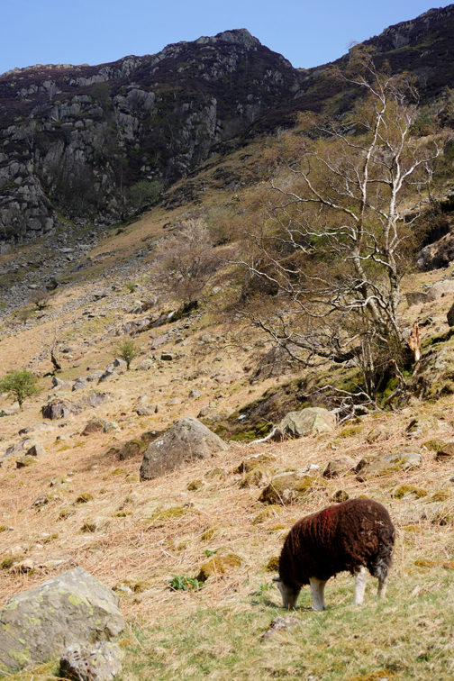
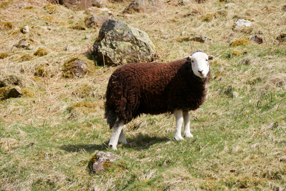
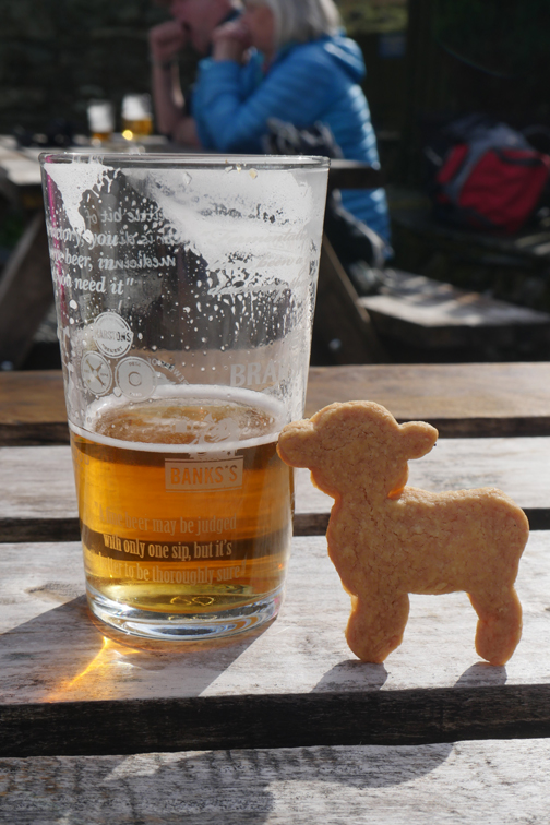
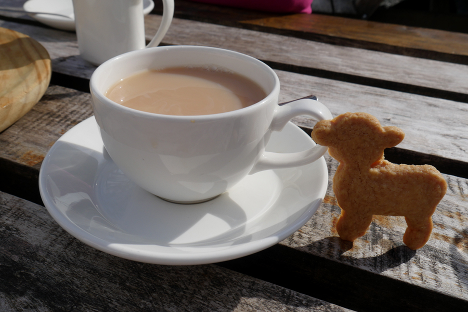
The beer quickly demolished, better drink the tea before someone else does ! A sweet little lamb . . . butter wouldn't melt in its mouth . . . but the dear thing certainly melted in mine !! - - - o o o - - - |
Technical note: Pictures taken with my Panasonic Lumix Gx8 Camera.
Resized in Photoshop, and built up on a Dreamweaver web builder.
This site best viewed with . . . suitable re-hydration at the end of the walk.
Go to Home Page . . . © RmH . . . Email me here
Previous walk - 16th April 2022 - Three Walks Nine Summits
A previous time up here - Thursday 2nd July 2009 Four go for a Swim
Next walk - 21st April 2022 - Burgh by Sands - The Mob