|
|
|
 |
Remember: Press F11 for a
full screen view of this page. |
Web Counter when published 2
002 053 |
|
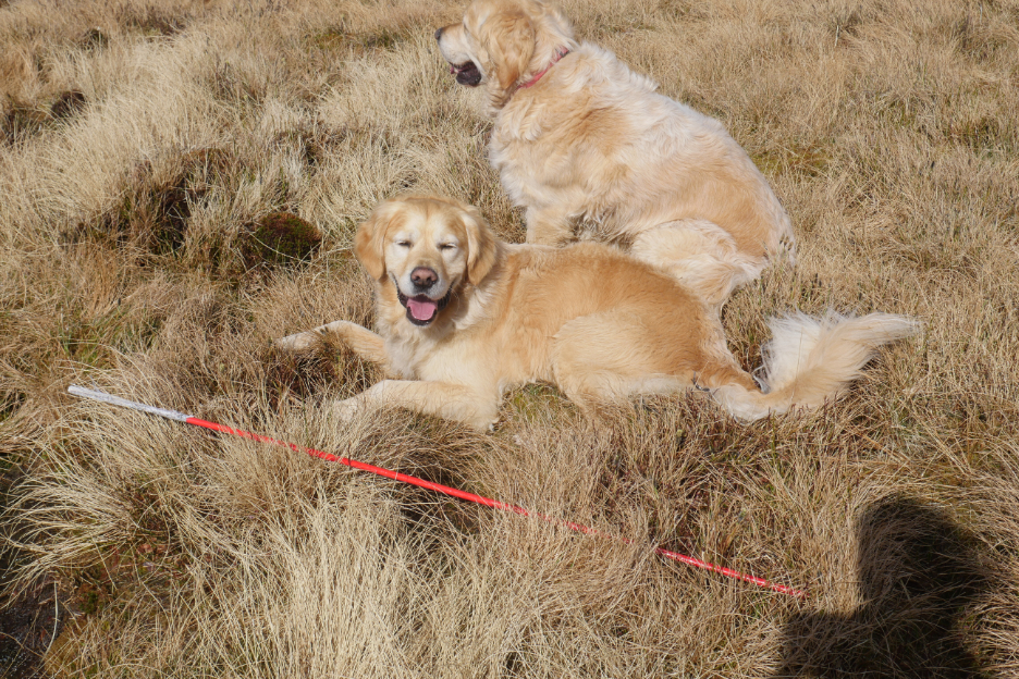
" An extended walk up Gavel Fell" Date & start time: 1st April 2022. 10.15 am start. Location of Start : By the red phone box, Loweswater, Cumbria, Uk. ( NY 143 211) Places visited : High Nook, Carling Knott, Blake, Gavel, Hen Comb, The Kirkstile. Walk details : 8.5 miles, 2910 ft of ascent, 4 hours 50 mins. Highest point : Blake Fell, 1,878ft - 573m. Walked with : Myself and the dogs, Dylan and Dougal. Weather : Sunshine and blue skies, cold in the westerly breeze on high ground.
|
© Crown copyright. All rights reserved. Licence number PU 100034184. |
|
On the last day in March it snowed in Loweswater. The following day was so a beautiful that I thought I would go in search of the snow, combined with a walk up Hen Comb. By the time I set off most of the snow had melted so I changed the objective of the walk to climb the adjacent Gavel Fell, the only one of the Loweswater group that I hadn't climbed this year. It was such a nice day I just kept extending the walk as I went along !
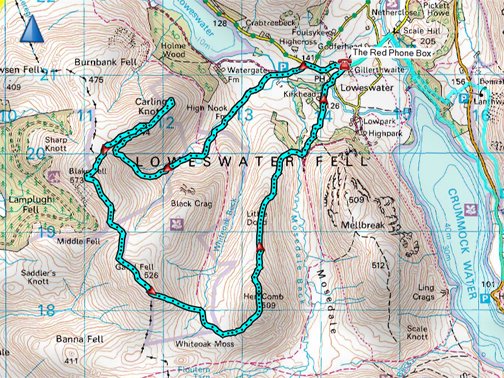
Late afternoon at the end of March, looking up Crummock and the Buttermere Valley towards Haystacks, as the snow was falling.
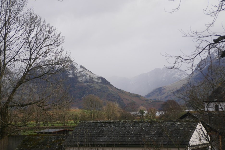
Next morning there was a fresh layer on High Stile and the surrounding fells.
Hen Comb looked an attractive option for a walk above the snow line. . . but life got in the way for a short time.
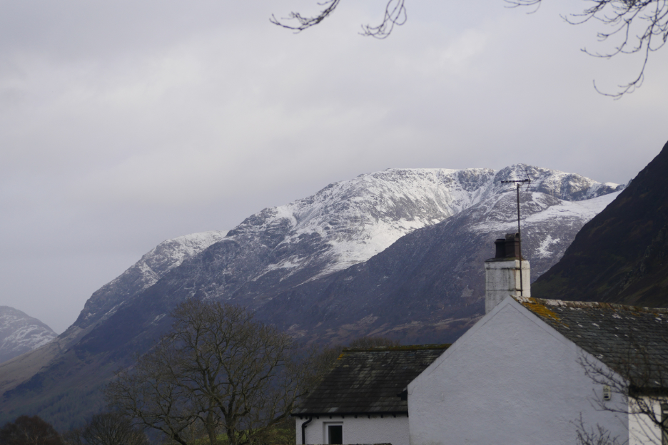
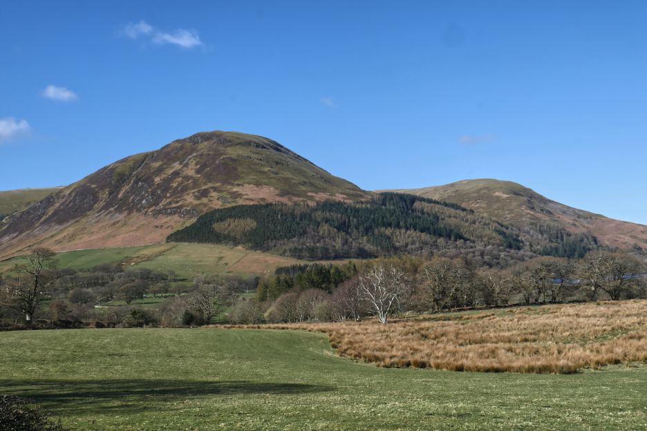
By the time the chores were done, the snow on lower slopes had more or less melted, so I decided to alter my route to include Blake, Gavel and possibly the other local Fells. This was the photo of Carling Knott from my house. I've climbed all the other Loweswater Fells in recent months so an ascent of Gavel would finish off the group nicely.
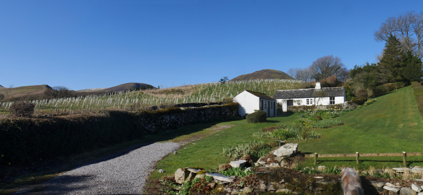
I set off past Rose Cottage, looking resplendent as a result of the sudden clearing of the skies, and headed up the road towards the four distant tops you can see above the field behind my neighbouring cottage.
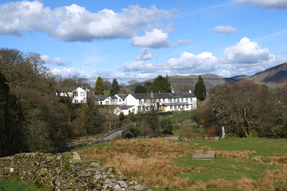
The Village Hall and Old School House at the top of the hill. This would be the scene of Jubilee festivities in weeks to come.
The view of Carling Knott and Burnbank after I took the left turn towards Maggie's Bridge. Late Spring and the pheasant shape of the woodland really stands out today.
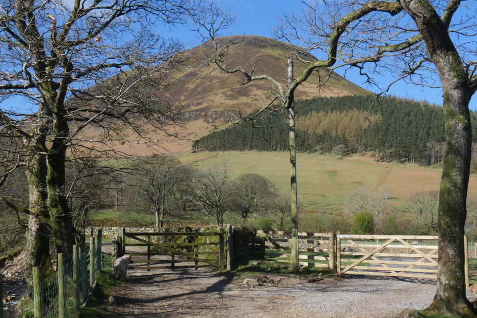
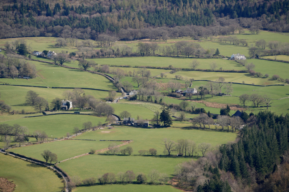
The track to High Nook Farm in the valley ahead.
A new gate and short track ? The river on the left has undermined the bank over the winter and the main track is in slight danger of collapse, so they've constructed an alternative route to the farm in case another flood takes more bank away.
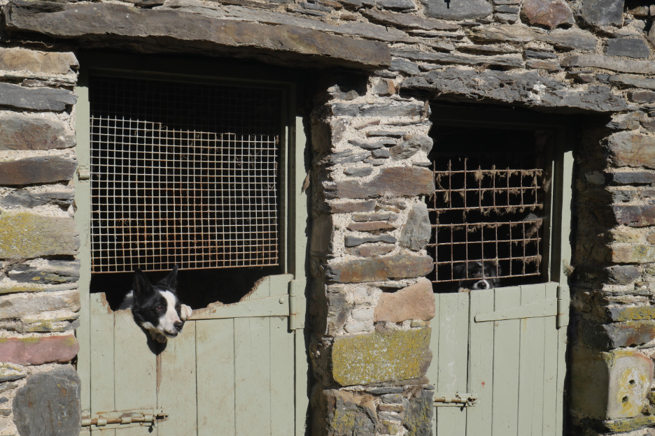
Up through the farm yard, greeted in the usual noisy way by the sheepdogs in the kennels.
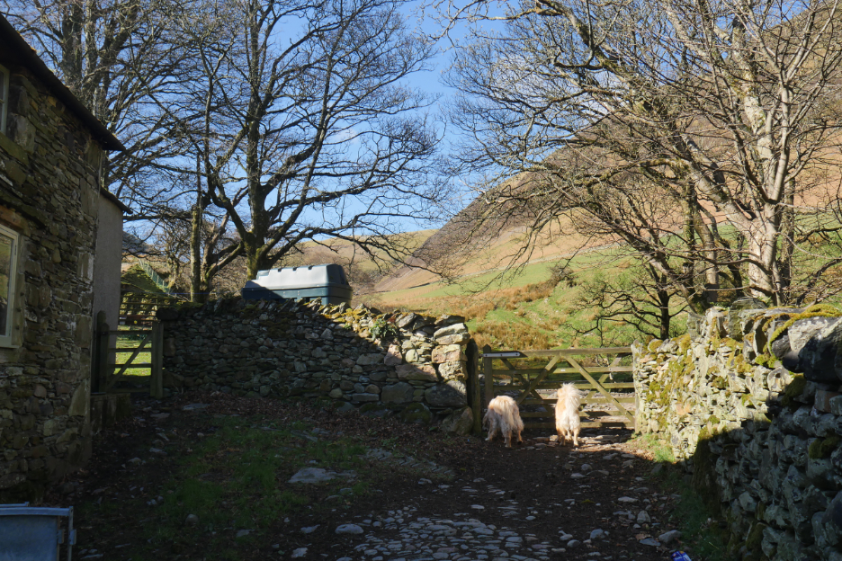
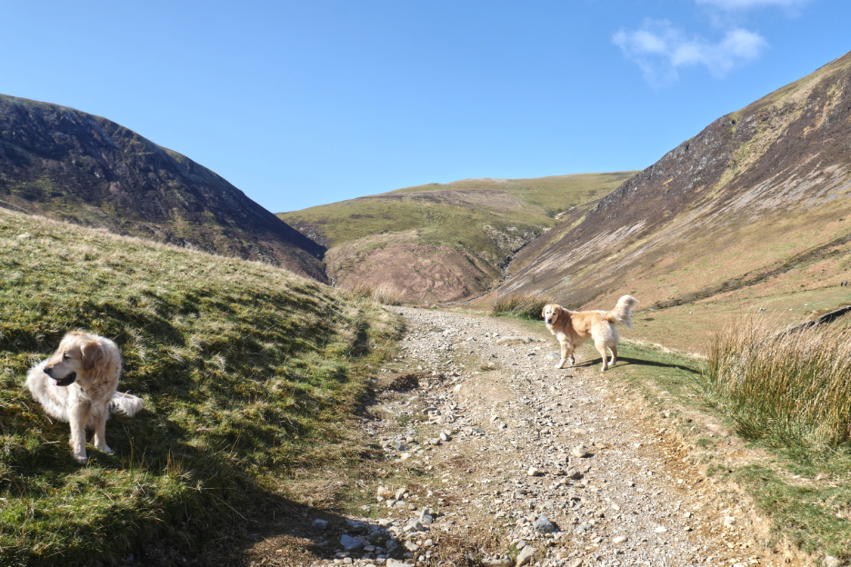
Unperturbed, my two continue on to the gate that will lead us to the open fell.
The true "intake" gate where the last wall is left behind and land becomes "open access".
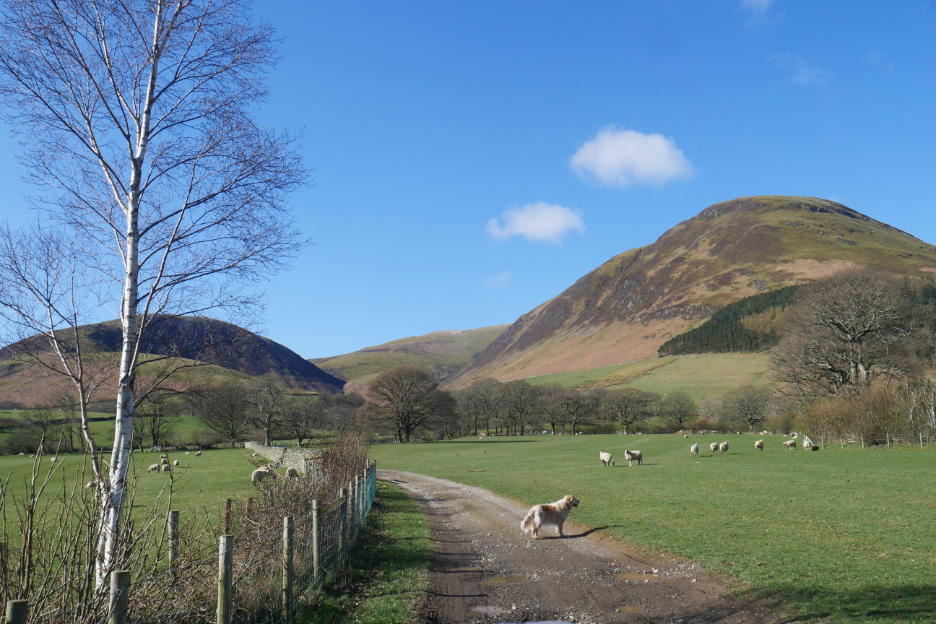
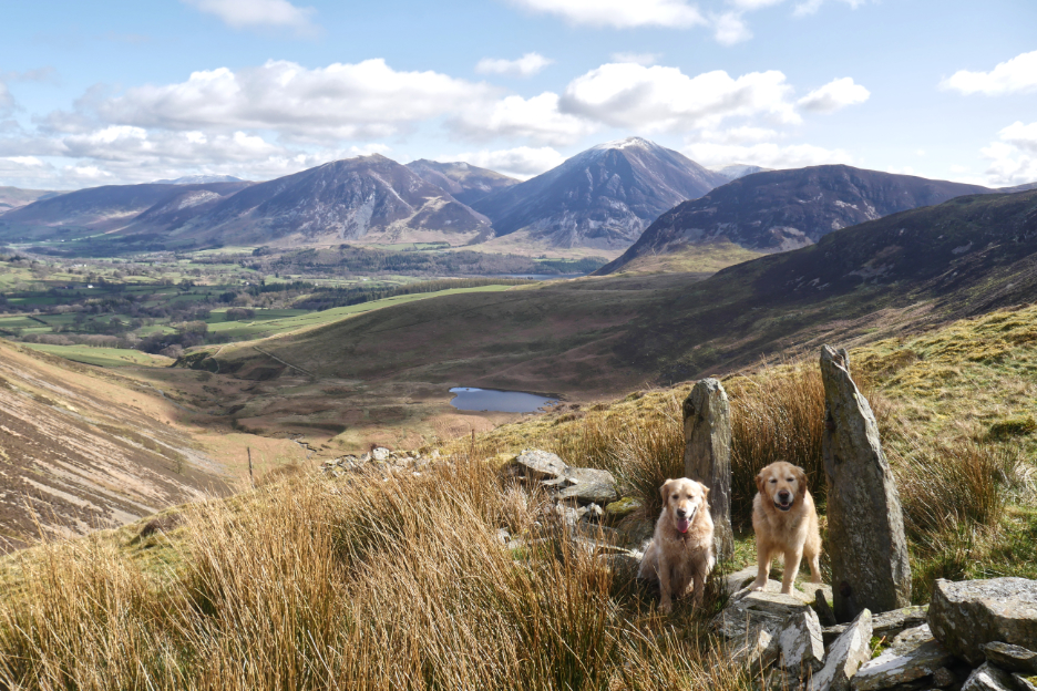
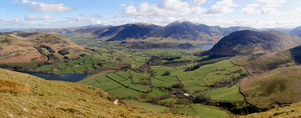
Gavel Fell ahead at the top of the split, High Nook valley.
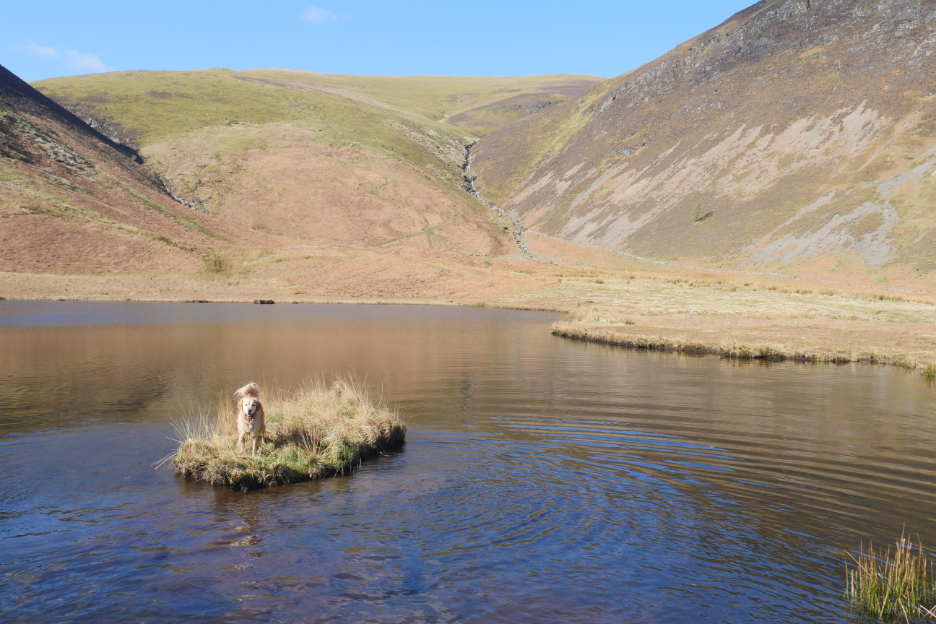
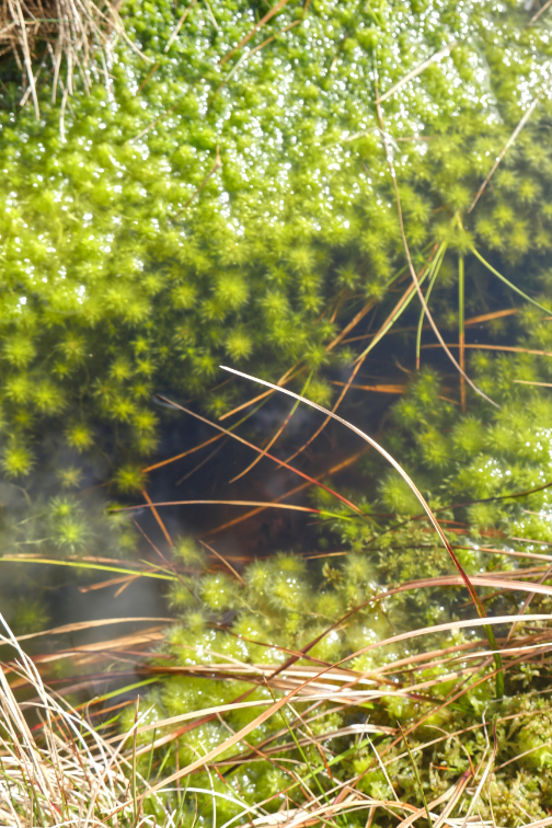
The dogs and I divert slightly to reach High Nook Tarn, tucked away at the side of the valley under Black Crag. Dougal immediately took to the water and ended up, soaking wet on the small island. Hold your cursor over the picture to watch him dry off. [ This may not work on some computers ]
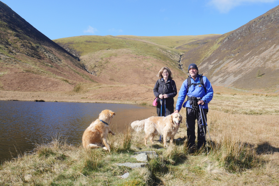
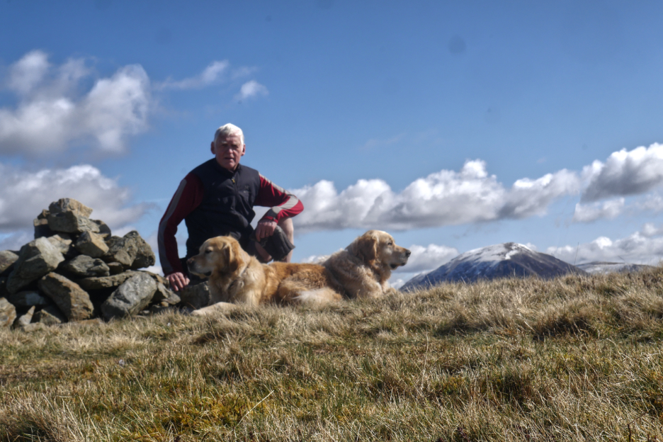
In diverting to the tarn we came across other fell walkers, Peter and Kay Harris. They had made an earlier start than I and were heading down towards Mellbreak and Crummock . . . nice to meet you and chat.
At the head of the valley, White Oak Beck splits with one arm heading up towards Blake and the other towards Hen Comb and White Oak Moss.
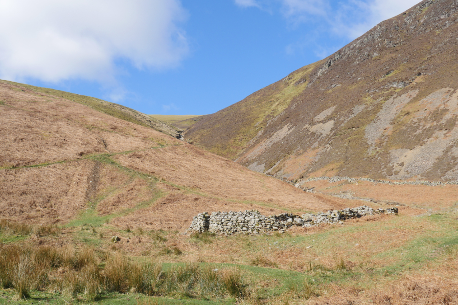
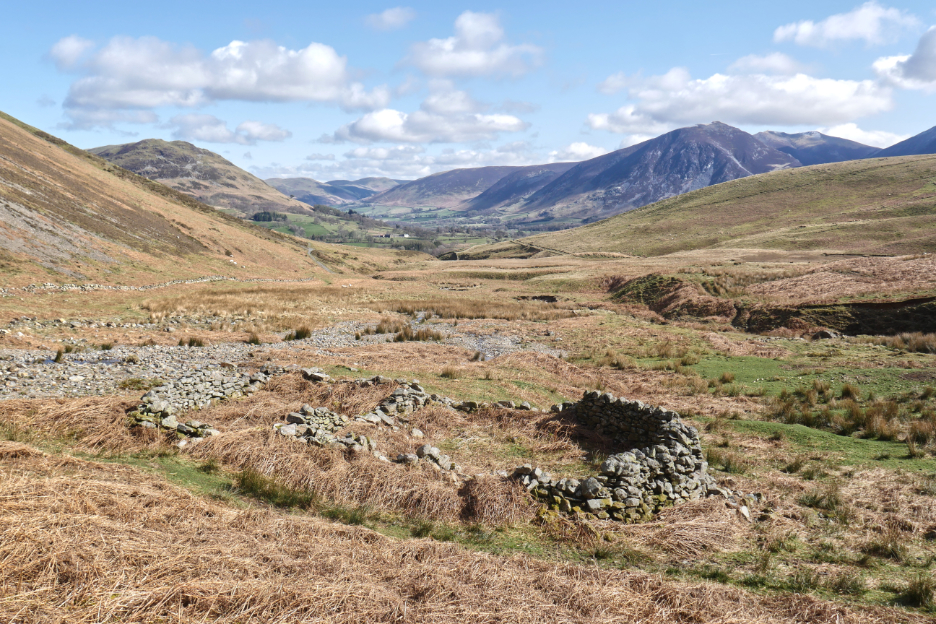
The stone wall structure is in fact an old sheep fold at the base of the slope . . . it has seen better days !
The wall under Carling Knott, seen in the last photo, extends in a straight line up the fell, but by this time it had become a wire fence. That too has perished, but two old gateposts and a few stones still define the line.
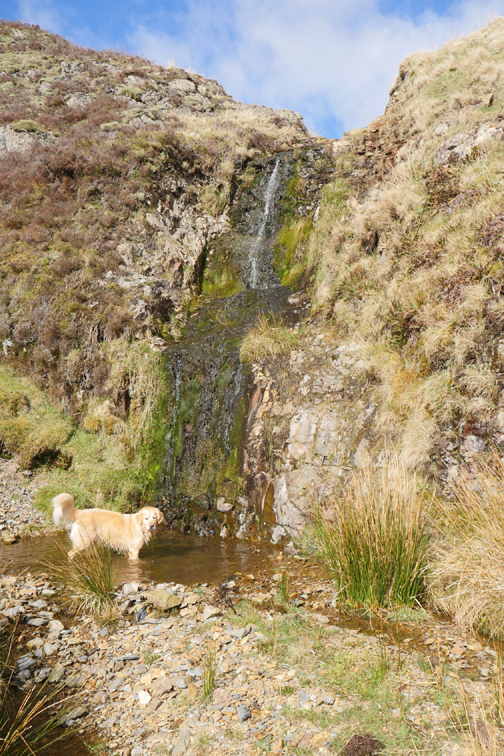
I called this waterfall "the waterfall of deferred gratification" as by this time I had added Carling Knott and Blake to the day's targets, thereby delaying my ascent of Gavel which I could have done by simply heading straight up the fence line !
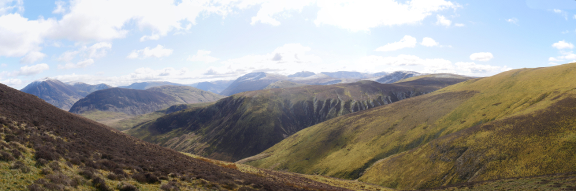
From my vantage point above the waterfall, I had fabulous views across to the Central Fells, still snow covered even in the sunshine.
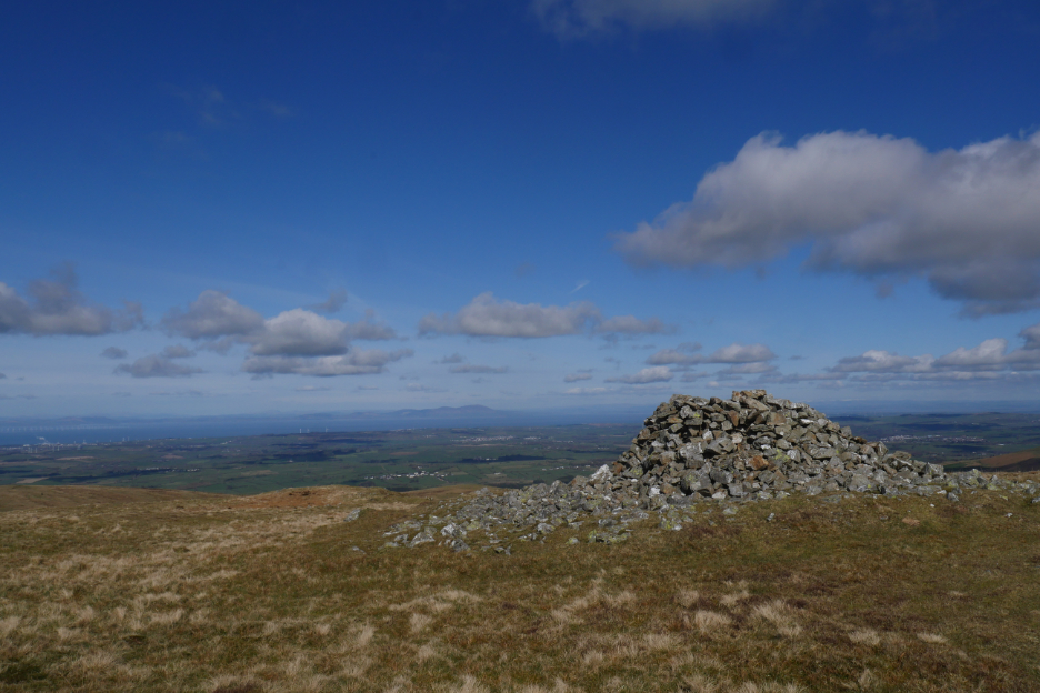
The summit and shelter of Carling Knott, with distant Criffel mountain far away on the other side of the Solway Estuary. Good job I had put some suncream on before I started as the sun really was as bright as it looked here.
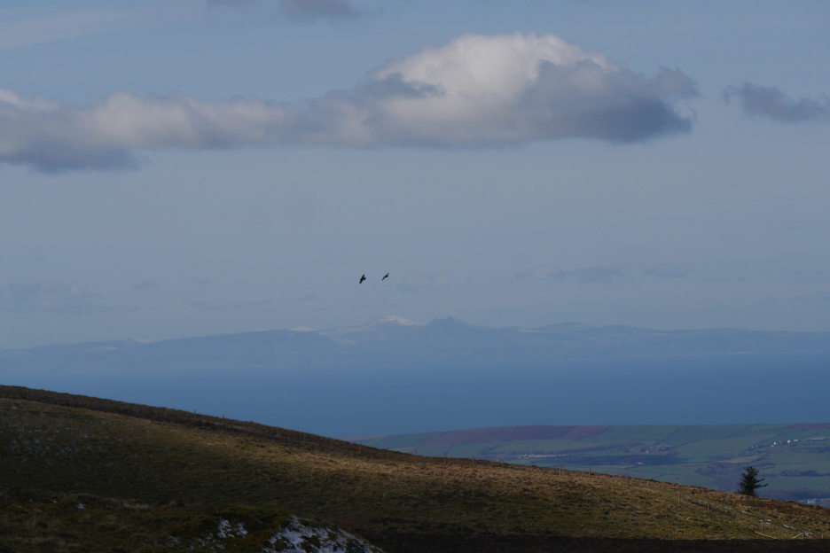
Looking out to sea . . . two ravens cross the slopes of Blake Fell. Did you spot what was beyond them, fourty nine miles away as the ravens may fly ? For once the summit of Snaefell on the isle of Man lives up to its Viking name . . . Snae Fell . . . the Snowy Mountain.
The sun may have been shining but the cool breeze kept the temperature down hence the thick icebreaker shirt and an warm gilet top. [ Photo by self timer of course, there was no-one else about.]
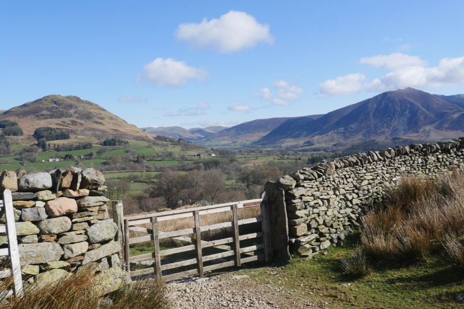
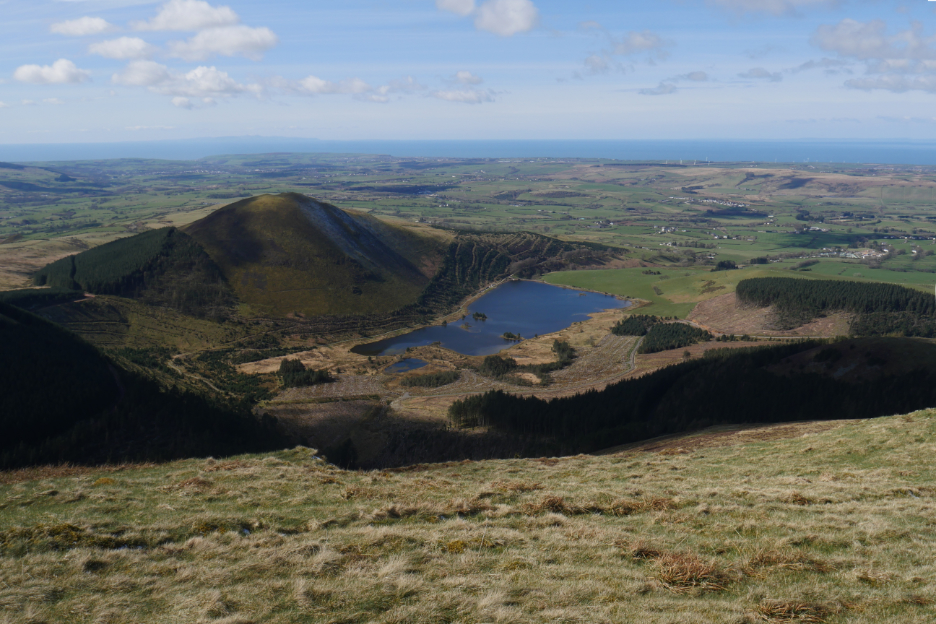
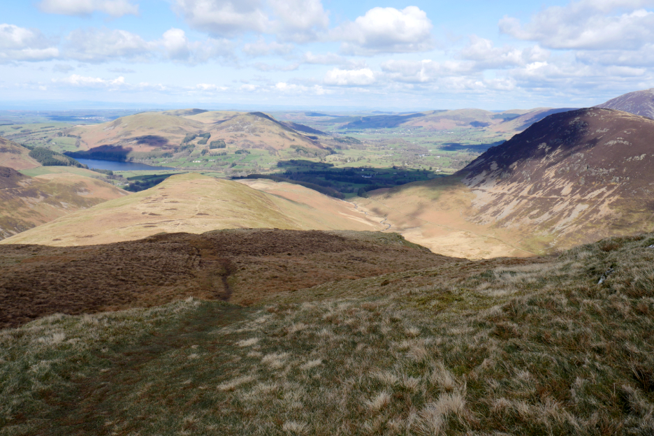
I continued on the extra distance to the end of Carling Knott to catch the classic view down over the three valleys.
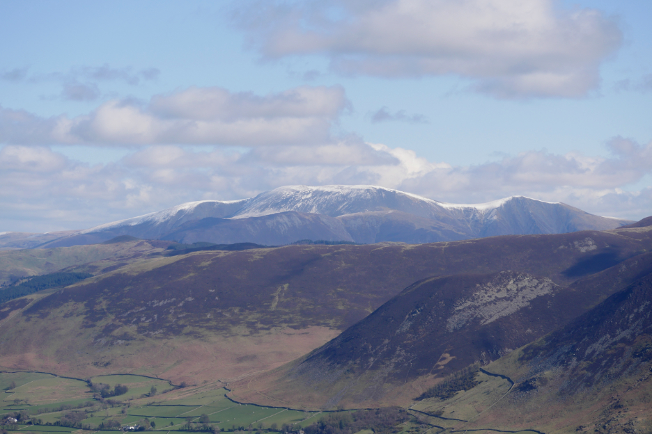
In the distance, the snow covered summit of Skiddaw.
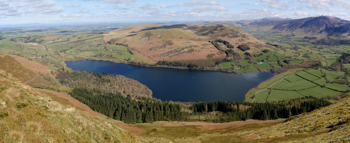
Below me the full expanse of Loweswater itself.
The reverse of my earlier photo . . . that's my house from Carling Knott.
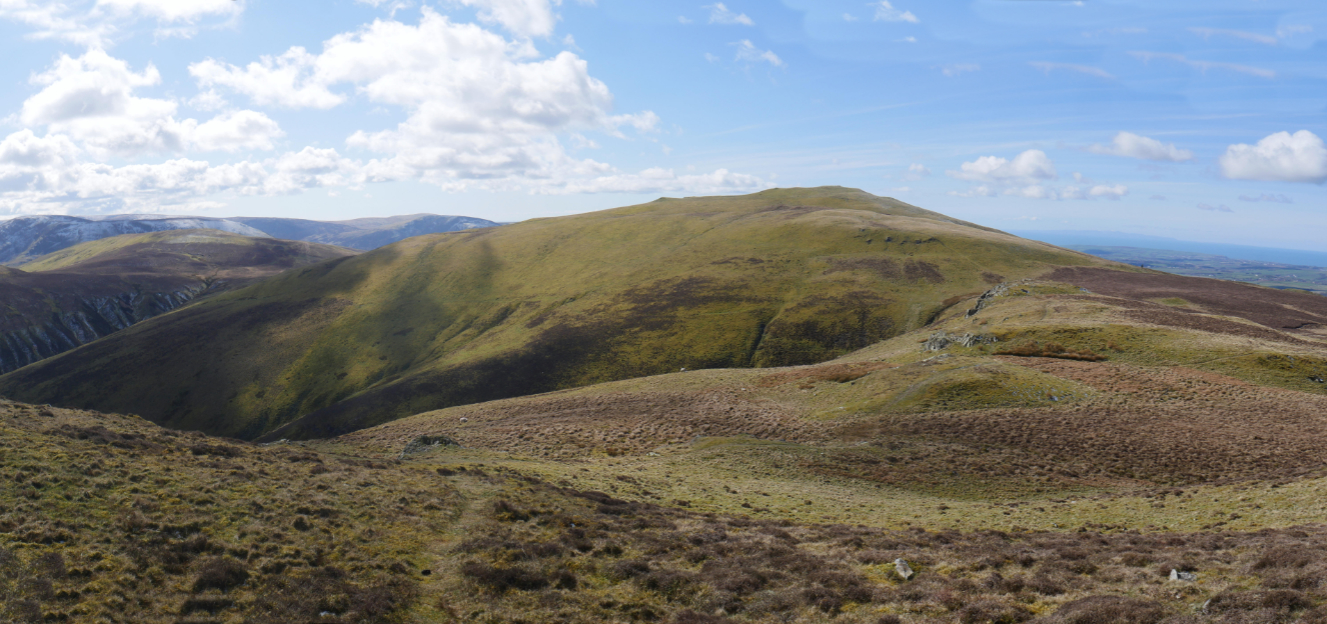
Retracing my steps to the summit and then heading on towards Blake Fell.
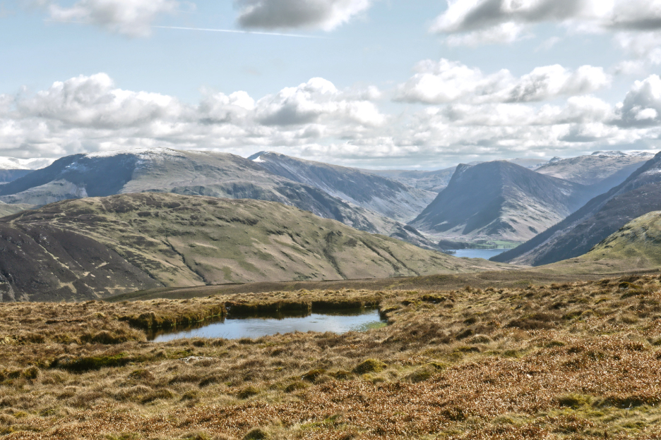
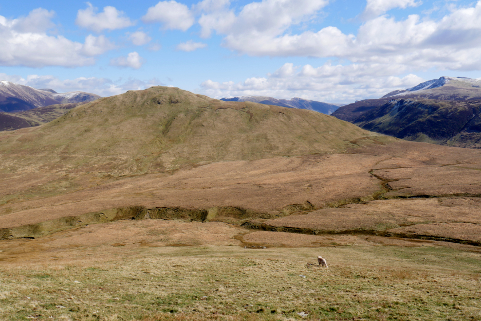
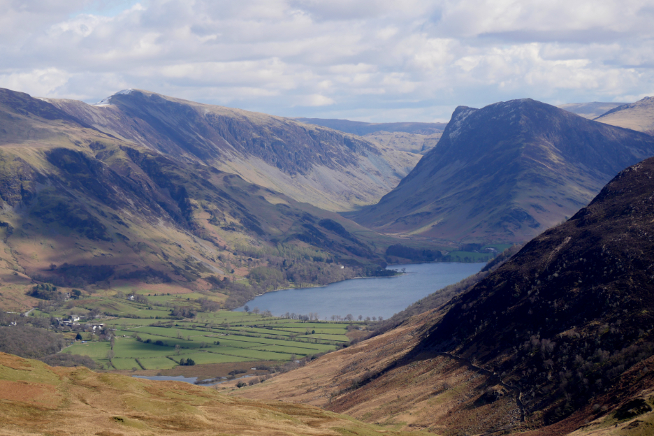
A large pool or small tarn in the slopes of Blake Fell, with views across to Fleetwith Pike.
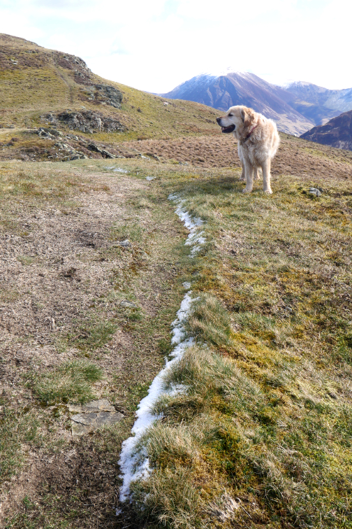
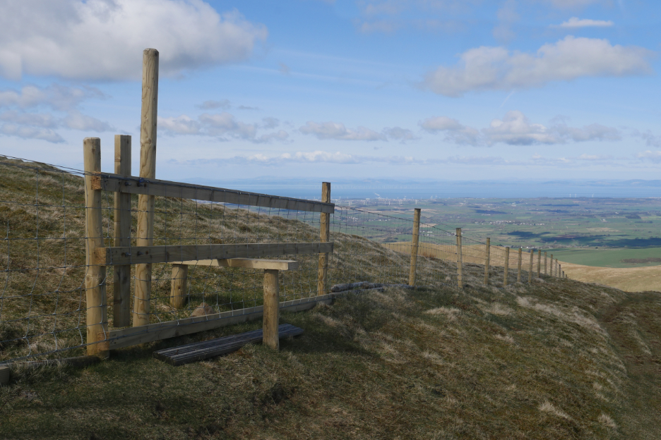
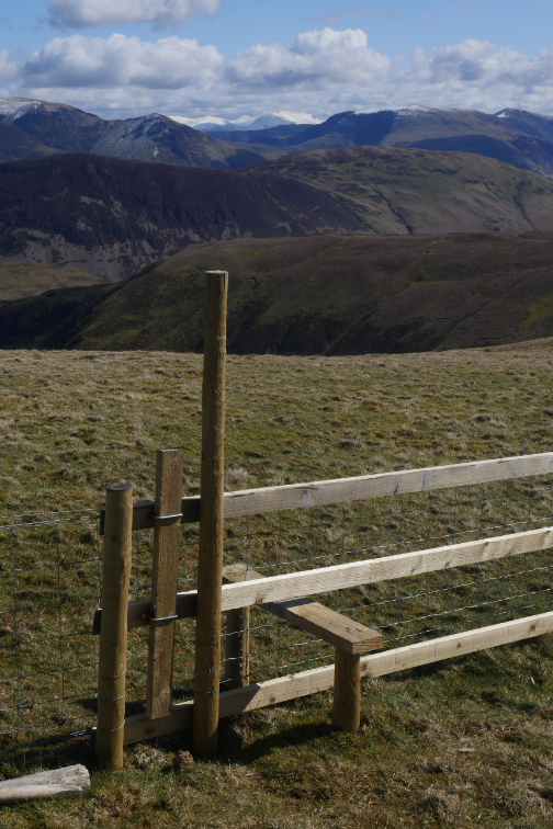
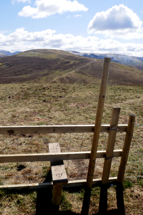
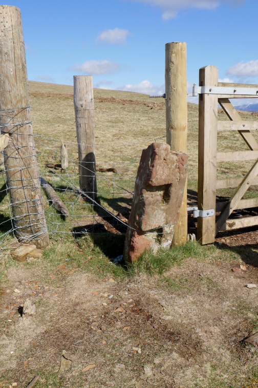
A new fence and step stile before I reached the summit . . . the dogs almost had to jump over till I spotted the lift up dog gate.
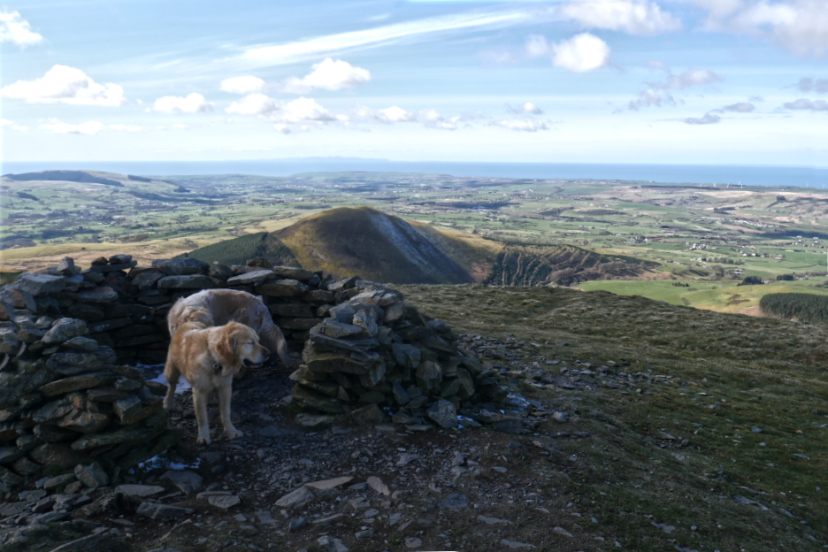
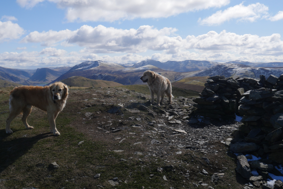
'Sheltering' from the breeze at the summit shelter on Blake Fell.
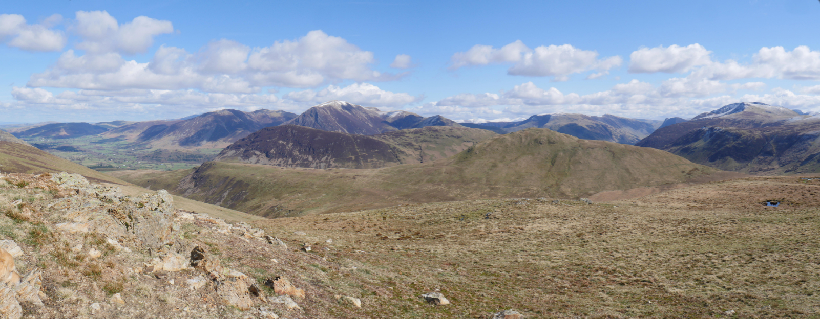
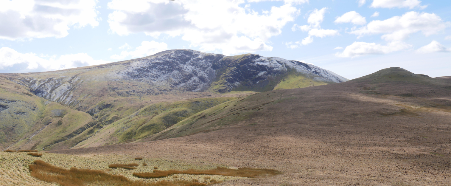
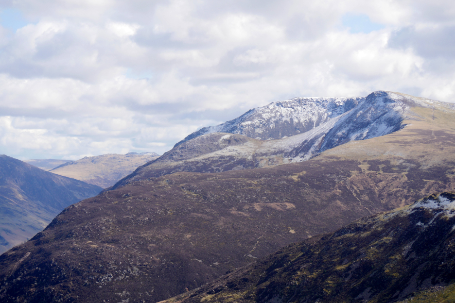
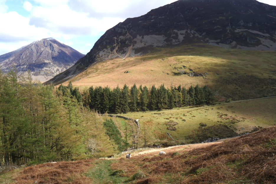
Again, moving this time just a short way from the summit, I get a view of Knock Murton and Cogra Moss.
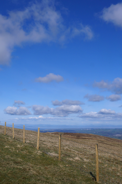
Time to move on . . . this time towards Gavel Fell.
The final few hundred yards to Gavel were a lot more boggy than I remember.
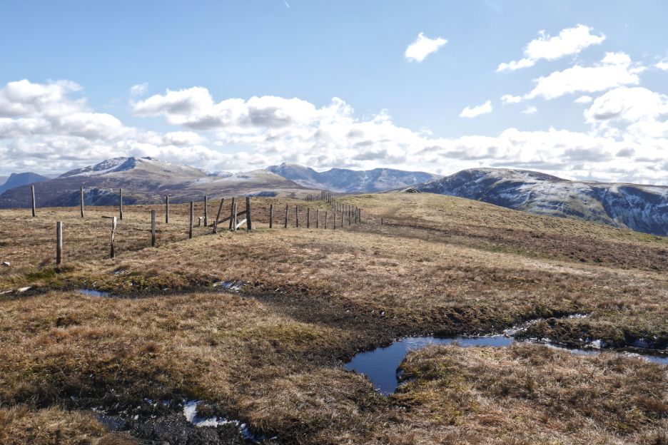
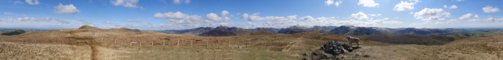
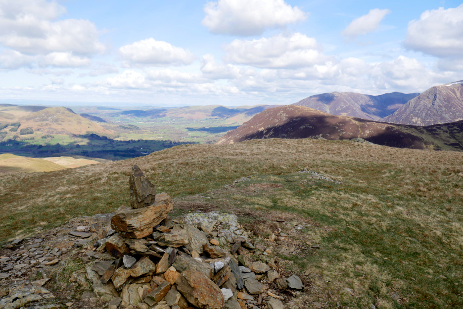
I started the day with the aim of reaching this summit . . . and now at last I'm here.
My chance to share the all-round view with you. Click here or on the photo above for a 360 degree annotated panorama.
It was later than I thought so dug deep into my small day sack and found some biscuits for me and even some for the dogs, which we enjoyed as we looked down on the next section of the walk.
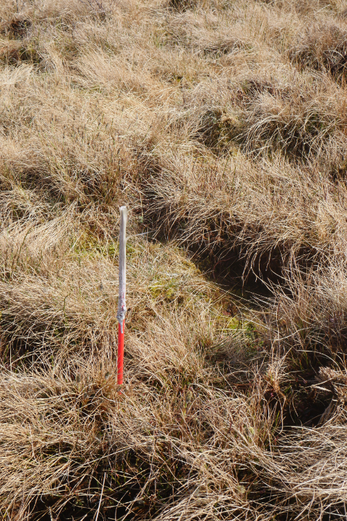
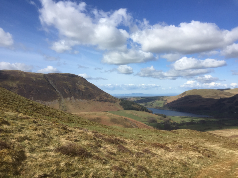
Below was the White Oak Moss . . a bog to you and I. The question was "what's the best place to cross" ? . . . I headed for the sheepfold below (also shown on the map) and then the adjacent stream junction, where the slope was greatest, and therefore hopefully the ground was driest.
Safely over the bog, dry shod, it was now time to climb my final summit, Hen Comb. Here I look across to the snow-sprinkled slopes of Great Bourne.
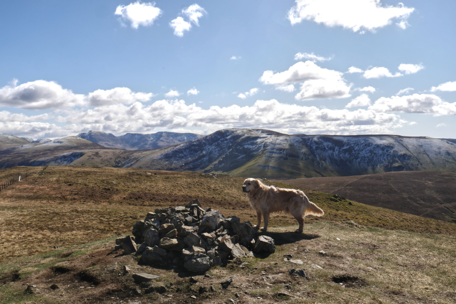
After a steep climb, the summit of Hen Comb . . . not enough snow to even to attempt a snowman !
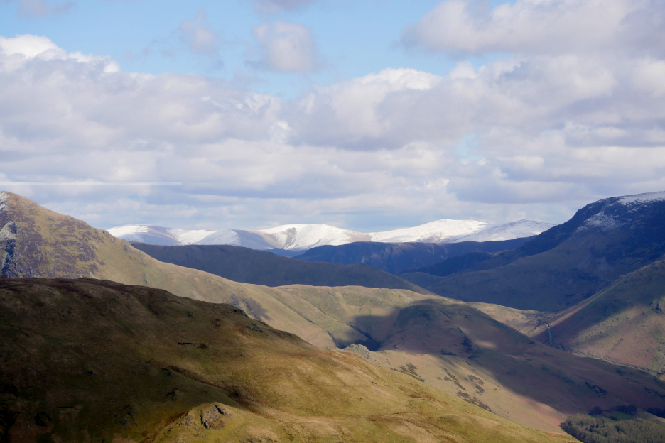
Pausing to look around, there was still white stuff on the Helvellyn Range.
Black Crag on Fleetwith protected some northern facing snow patches but Buttermere were probably selling lots of ice cream.
The mountain that caught my eye this morning, the snow covered High Stile.
The homeward leg was laid out before me now, as I head down towards home from the top of Hen Comb.
Carling Knott, where I stood and admired the view earlier, some three or more hours ago.
Down towards "Harry's Pool" and the river crossing of the Mosedale Beck.
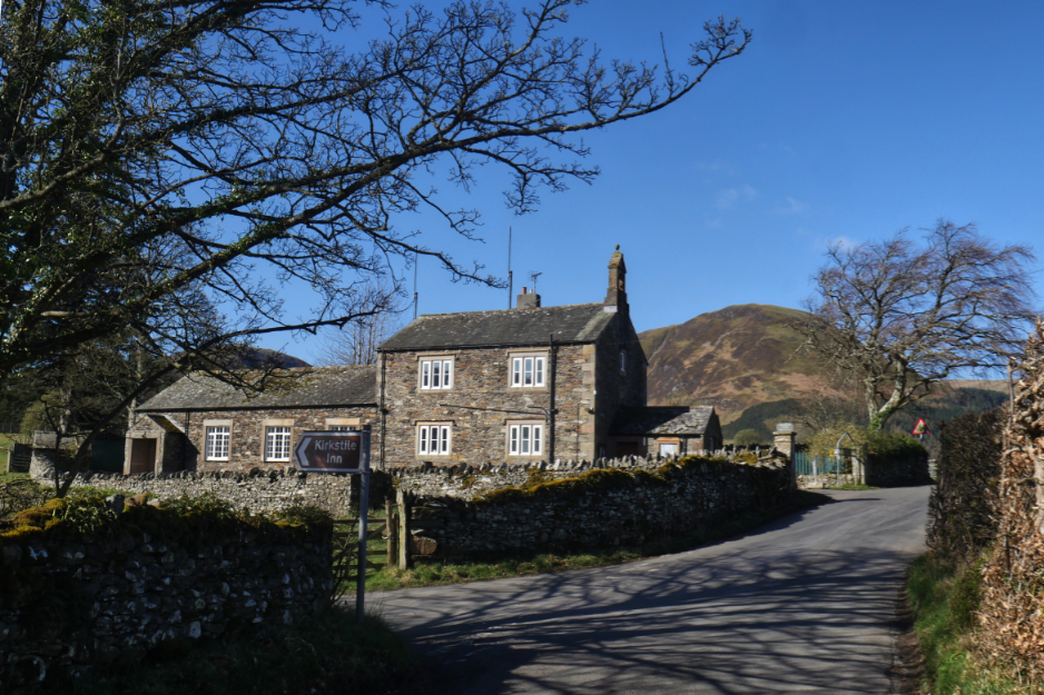
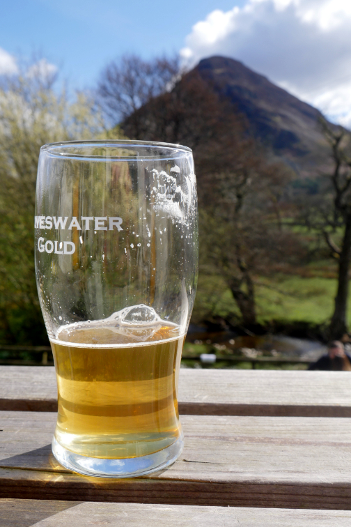
The prospect of liquid refreshment encouraged me on.
Today's short dog walk was extended to a full fell walk, which itself was extended further by circumstance along the way. What a great day it turned out to be. - - - o o o - - - |

Technical note: Pictures taken with my Panasonic Lumix Gx8 Camera.
Resized in Photoshop, and built up on a Dreamweaver web builder.
This site best viewed with . . . an unplanned challenge and a delightful conclusion.
Go to Home Page . . . © RmH . . . Email me here
Previous walk - 23rd March 2022 - High Nook with Jane
A previous time up here - 14th June 2015 - Gavel and Blake with Jo
Next walk - 4th / 6th April - Two Easter Walks with Rachel