|
|
|
 |
Remember: Press F11 for a
full screen view of this page. |
Web Counter when published 1
980 205 |
|
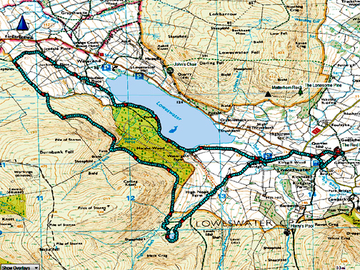
" High Nook and The Places with Jane " Date & start time: 23rd March 2022. 9.45 am start. Location of Start : By the red phone box, Loweswater, Cumbria, Uk. ( NY 143 211). Places visited : High Nook Tarn, The Chair, Iredale Place, Holme Wood, The Kirkstile. Walk details : 7.5 miles, 1050 ft of ascent, 3 hours 45 mins. Highest point : The Top Coffin Route above Holme Wood, 1025 ft - 315m. Walked with : Jane and myself and the dogs, Dylan and Dougal. Weather : Sunshine and blue skies, warm.
|
© Crown copyright. All rights reserved. Licence number PU 100034184. |
|
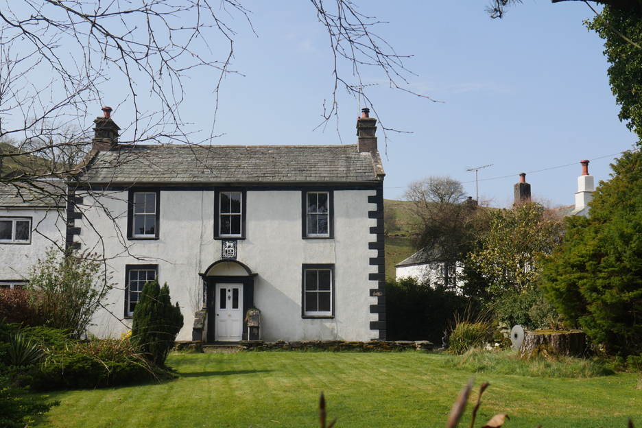
To minimise car use, the walk started from my home and set off up Vicarage Hill . . . past the Vicarage. Should you need parking for your walk then there's room for four or five vehicles by the phone box of course.
Low Fell, or at lease the end of Low Fell, looking resplendent in the sunshine.
Our route today . . . self explanatory.
I introduced Jane to the view of the Loweswater Pheasant. The colour scheme in the artistic woodland is looking good in these early Spring colours. The national Trust are going to have to remove much of the larch from the woods because of disease so we are hoping complimentary planting can be done afterwards to maintain the integrity of the woodland feature.
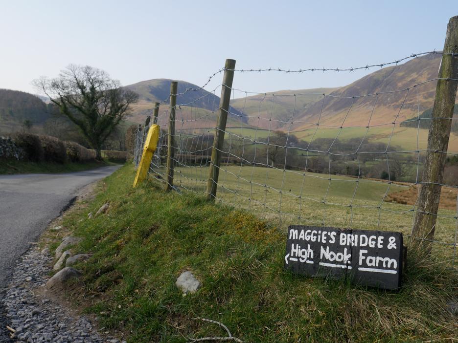
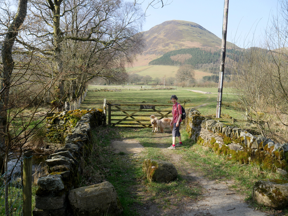
Due to structural problems the old farm bridge has been downgraded to pedestrian use only. Contrary to popular though this is not actually the "Maggie's Bridge".
That honour goes to the nearby packhorse bridge which I understand was named after a lady that lived at one of the old farms in this part of the valley in the mid-nineteenth century.
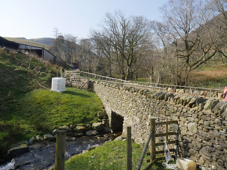
Closer to High Nook Farm is a more modern bridge that replaced one damaged in the flash floods about five years ago.
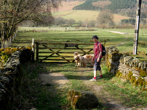
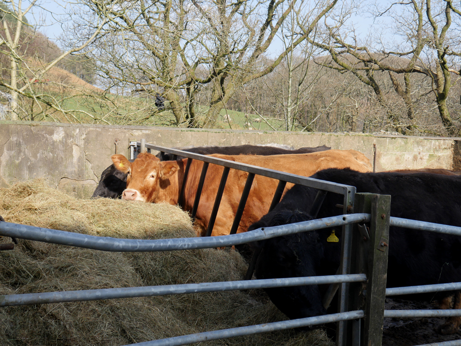
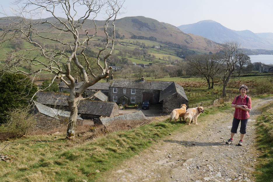
The cattle are our in the yard today and enjoying some winter feed in the sunshine. On upland farms like this, putting the cattle out onto the land too early can damage the potential upland grazing for the summer months.
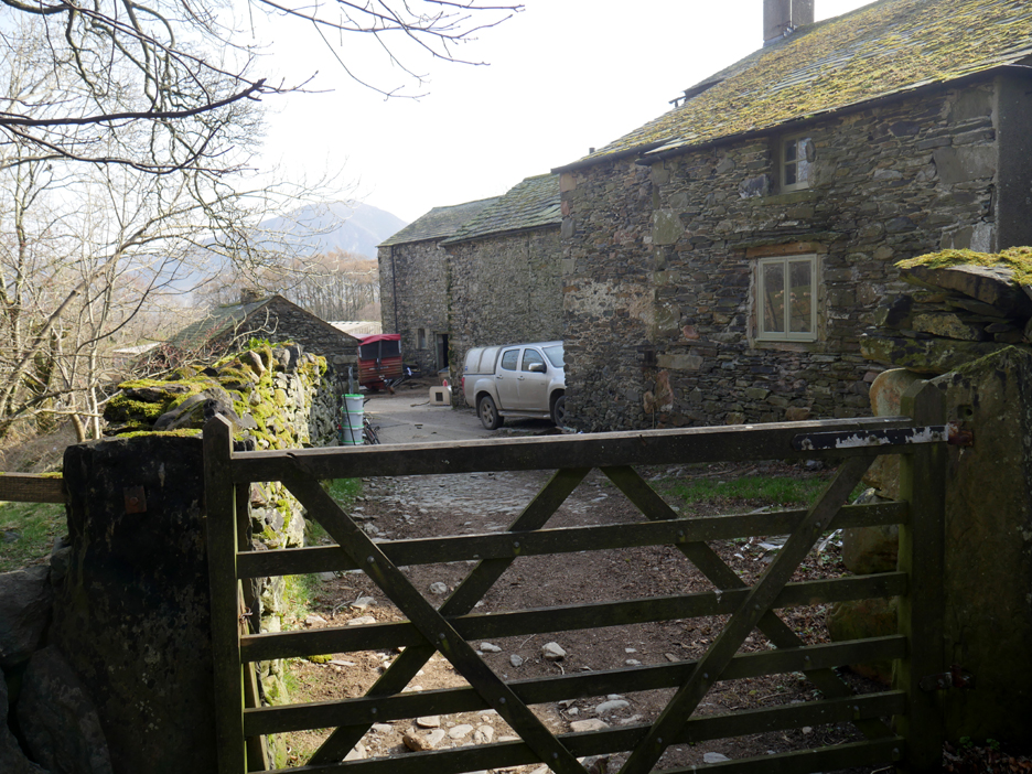
We close the gate and leave High Nook to itself, as we continue on up the track.
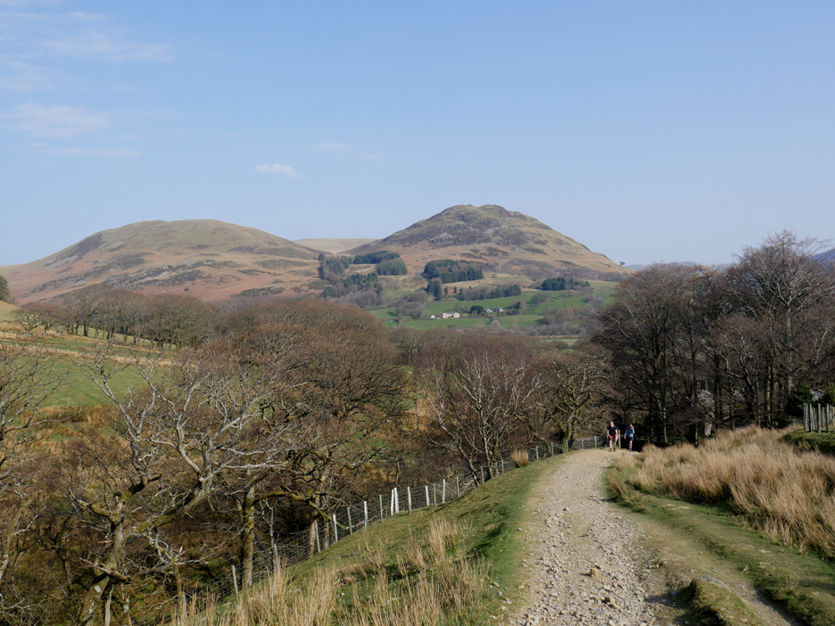
Upward into the High Nook valley.
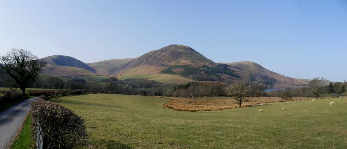
Looking back at Darling Fell and Low Fell. We are not the only folk walking the route today by the look of it.
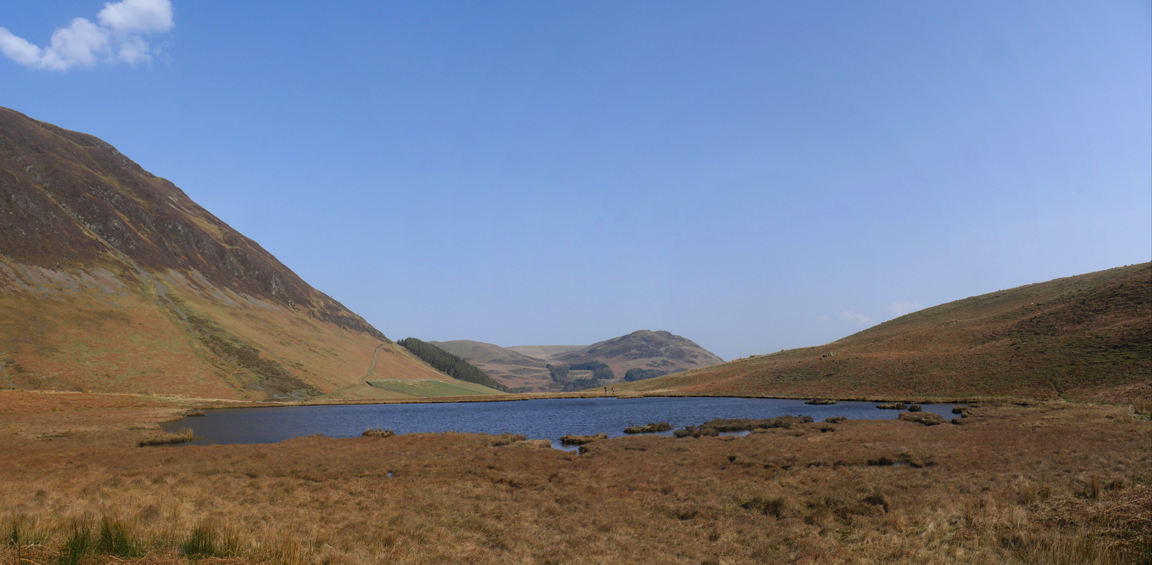
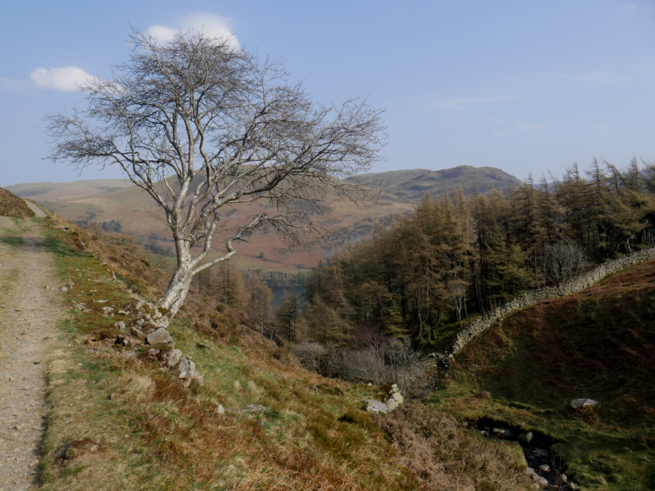
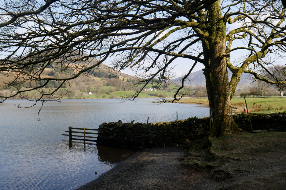
Ahead is Black Crag on the left and the start of the climb to Blake in the distance ahead. High Nook Beck, which splits into two at the far end of the valley, actually misses out on filling High Nook Tarn which is situated under Black Crag, out of sight from here at present.
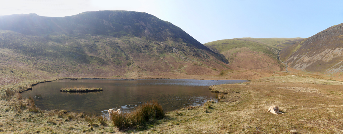
A slight climb up to the left brings us out by the shallow tarn.
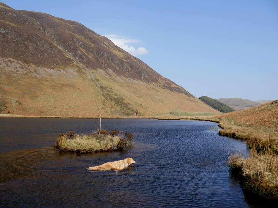
Dougal has turned out to be the keener water dog.
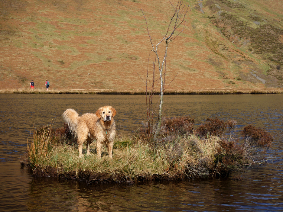
With a little encouragement he climbed up onto the island towards the back of the tarn.
It's been dry for a few days and the generally dry spring weather allows us to we walk around the back of the tarn, encountering very little of the usual damp ground.
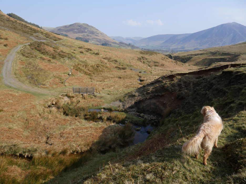
Crossing over to the track once again . . . which we reach near the footbridge over the beck.
Climbing what is known as the Coffin Route above the "beak" of the pheasant woodland. It is now thought that the old coffin route to St Bees traverses through the lower part of Holme Wood rather than climbing this far up the fell side.
A conversational photo ? "Do you wish to cut back through the woods from here, or extend the walk towards The Chair and Fangs Brow ? "
It's early so we continue onward, towards the Holme Beck bridge. The small waterfall a short way up the beck is in fact an old weir that allowed drinking water to be extracted from the stream to supply Mockerkin Village in the old days.
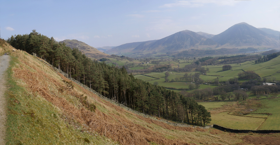
A mountain ash in winter plumage, alongside the track after the bridge. The stream below will plunge down the fellside forming Holme Force (waterfall) as it cascades down through the trees.
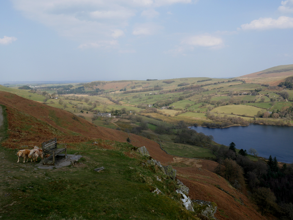
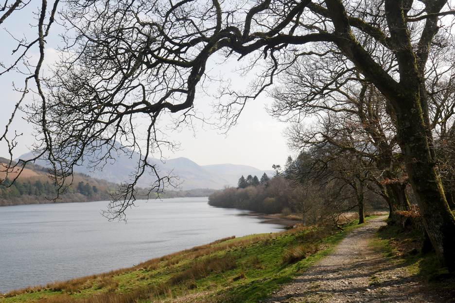
A brief shadow, as a cloud passes overhead and we reach the old wooden chair overlooking Loweswater.
A brief sit and relaxation (as you do) in the full sun once again, before we move on.
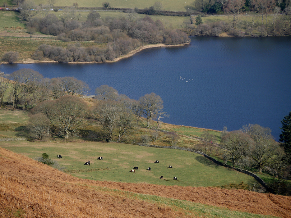
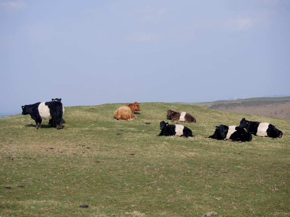
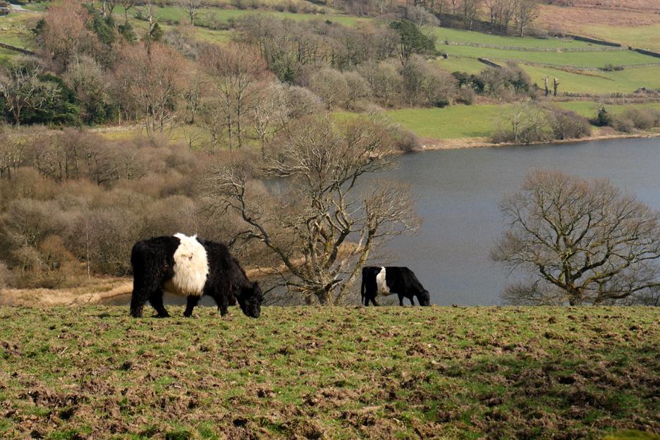
Barnacle Geese (?) on the lake and belted galloway cattle on the fields far below.
A classic white band round their middle makes these Galloways instantly recognisable. There's one of a different breed over there . . . spot the difference.
A variation in breeding has produced an less-usual brown and white version of the breed.
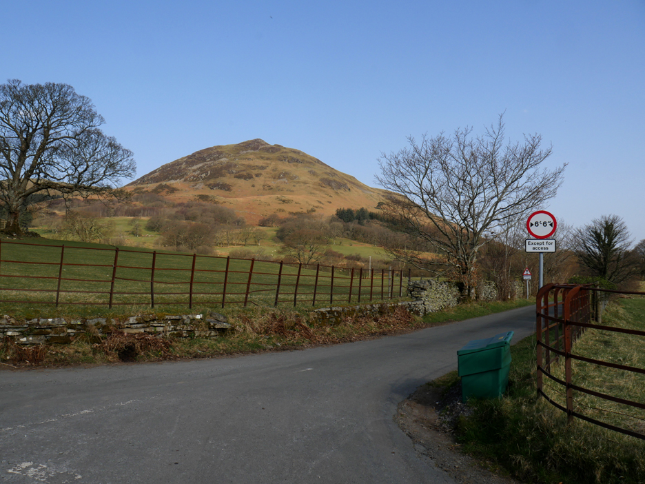
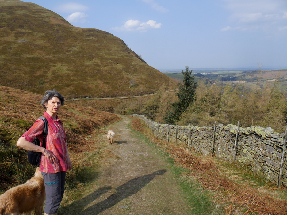
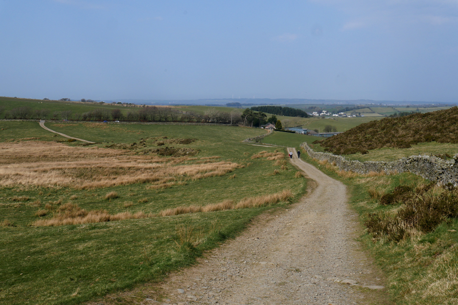
Our track continues on, gradually descending towards Fangs Brow Farm.
In the corner of a field is a small covered reservoir, more of a header tank for the water supply for the whole of the Loweswater area. Still, this high up the fell, it gives us tremendous water pressure in the taps at home.
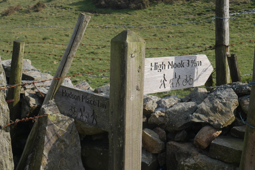
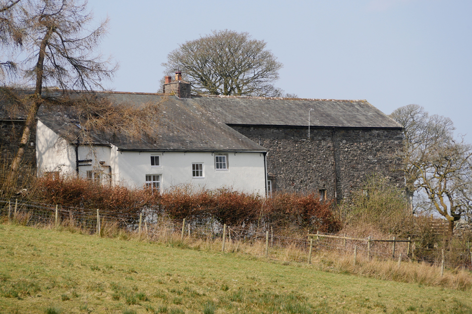
The bridleway now drops down past The Places . . . Iredale Place, Jenkinson Place and Hudson Place farms. This is thought to be the true Coffin Route . . . it makes a lot more sense than the higher track as it passed more of the old farms.
Jenkinson Place farm . . . sadly this and Iredale Farm are no longer 'working farms' in their own right. The land of course is still commercially worked because it has been incorporated into other lease holdings.
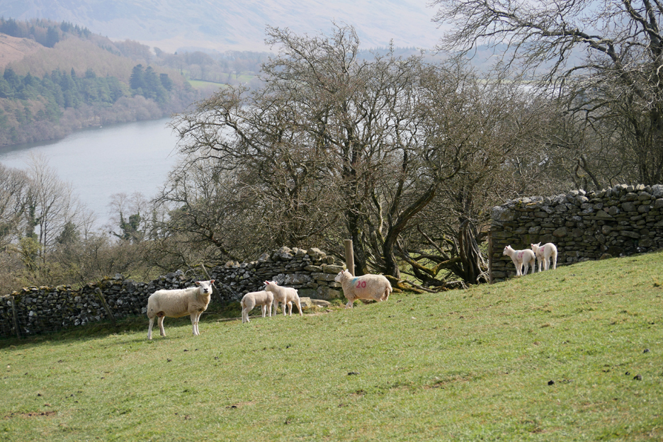
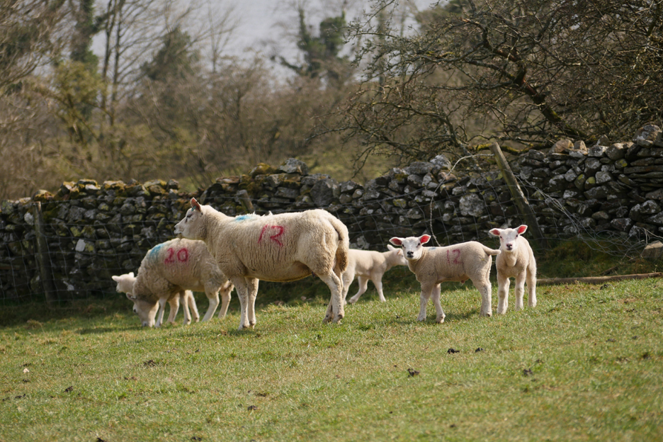
With the spring comes new life . . . and these upland farms aim for a lambing season of March/ April rather than risk the poorer weather of earlier months.
The farmer has numbered the lambs to make it easier to match mother and lambs during their early life. These are the Texals or possibly the Belgian Texal (Beltex) breed of sheep.
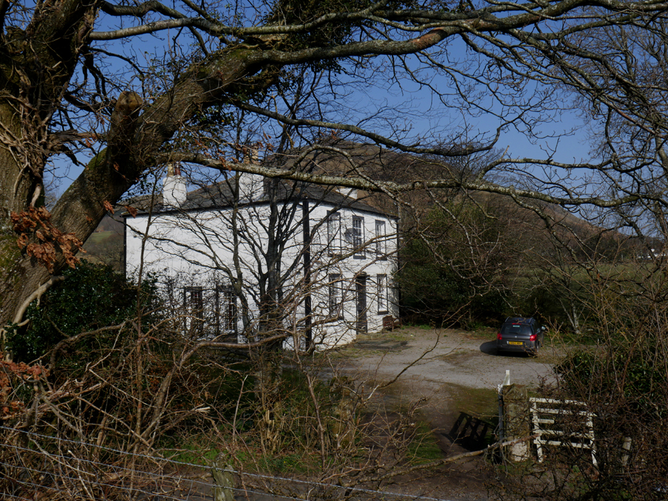
The old farmhouse of Hudson Place as the bridleway emerges onto the tarmac farm road.
The belted galloways that we saw from high up the fell by The Chair. You can see how the over-winter cattle cut up the grass, not always a bad thing unless it gets over-trampled.
The ancient bridleway continues on down to Loweswater and through the lower section of Holme Wood.
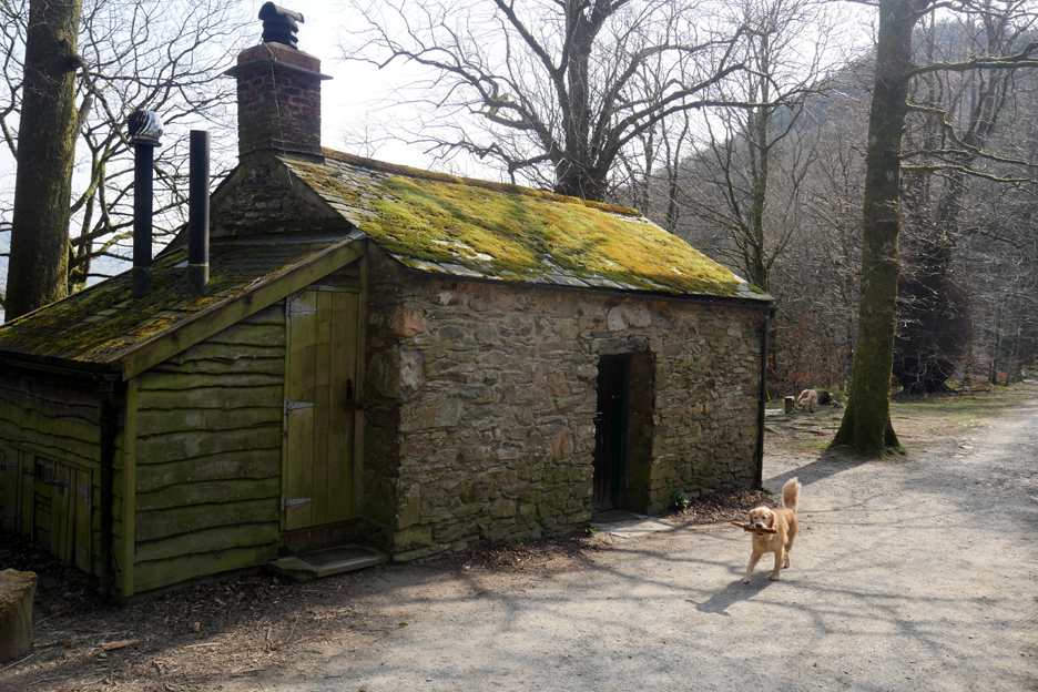
The Old Bothy in Holme Woods. Dougal is collecting sticks for the next occupants of this National Trust bothy.
The wall as Jane and I prepare to leave Holme Woods and cross the meadows back towards my home.
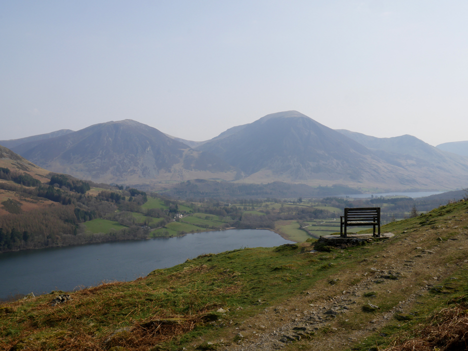
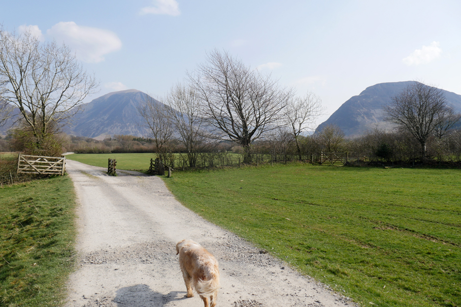
Grasmoor and Mellbreak as Dylan leads the way back.
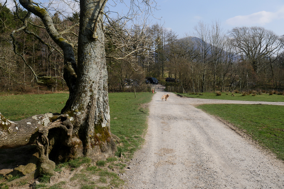
He knows the way and we reach the third bridge of 'Maggie's Bridge', the modern concrete one next to the small car park. - - - o o o - - -
One final decision to make before we end the walk . . . have we time to finish with a visit to The Kirkstile ? The answer to that one, I think has become obvious . . . cheers. - - - o o o - - - |


Technical note: Pictures taken with my Panasonic Lumix Gx8 Camera.
Resized in Photoshop, and built up on a Dreamweaver web builder.
This site best viewed with . . . shorts and t-shirt for a change.
Go to Home Page . . . © RmH . . . Email me here
Previous walk - 19th March 2022 - Longlands and Cleator Moor
A previous time up here - 14th June 2015 - Gavel and Blake with Jo
Next walk - 1st April 2022 - An Extended walk up Gavel