|
|
|
 |
Remember: Press F11 for a
full screen view of this page. |
Web Counter when published 1
973 460 |
|
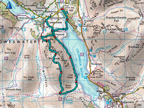
" The Mockerkin Mob's Mellbreak " Date & start time: 13th March 2022. 10 am start. Location of Start : Scale Hill car park, Loweswater, Cumbria, Uk. ( NY 143 211) Places visited : Crummock, Mellbreak (Nth top, Pinacles and Summit), back via High Park. Walk details : 7.8 miles, 2160 ft of ascent, 6 hours (including coffee, lunch and tea stops). Highest point : Mellbreak, 1,666ft - 512m. Walked with : Pip, Clive,Sue Peter and myself, plus the dogs, Dylan and Dougal. Weather : Overcast and very windy but dry for the walk, until the end.
|
© Crown copyright. All rights reserved. Licence number PU 100034184. |
|
Chance to walk with fell walking friends again, members of the local Mockerkin Mob. A fortnight ago the weather was fine, the planned route more gentle and there were nineteen walkers that day. Today the weather forecast was poor, the route much steeper and the numbers of walkers lower, but it was still a great day out.
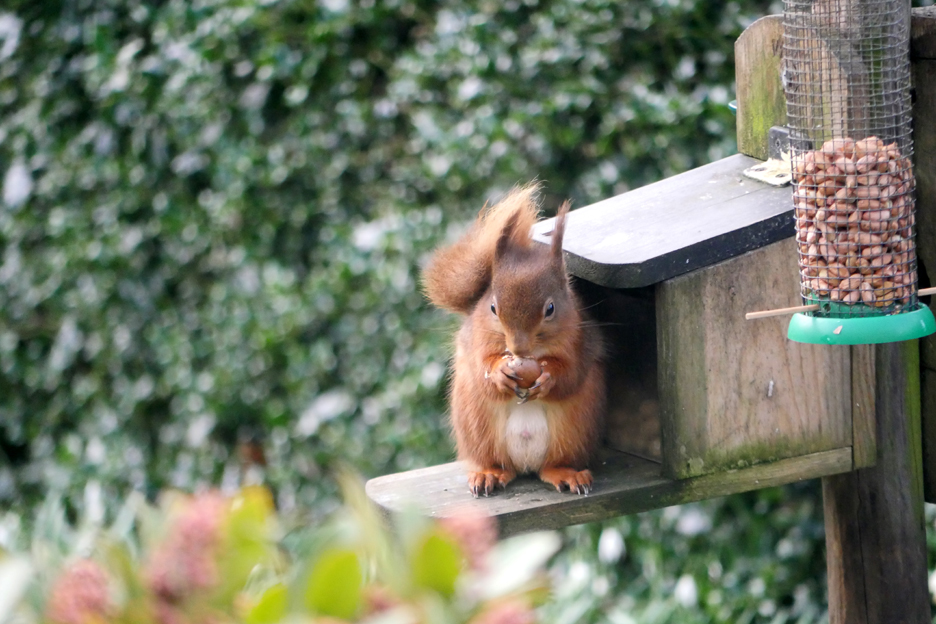
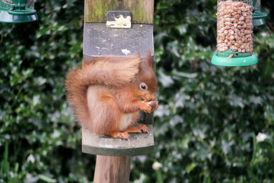
First a couple of photos of a different Loweswater resident, a regular visitor to our garden . . . a red squirrel.
He's enjoying the hazel nuts that I place in the feeder on the bird table. I see him most days at present. - - - o o o - - -
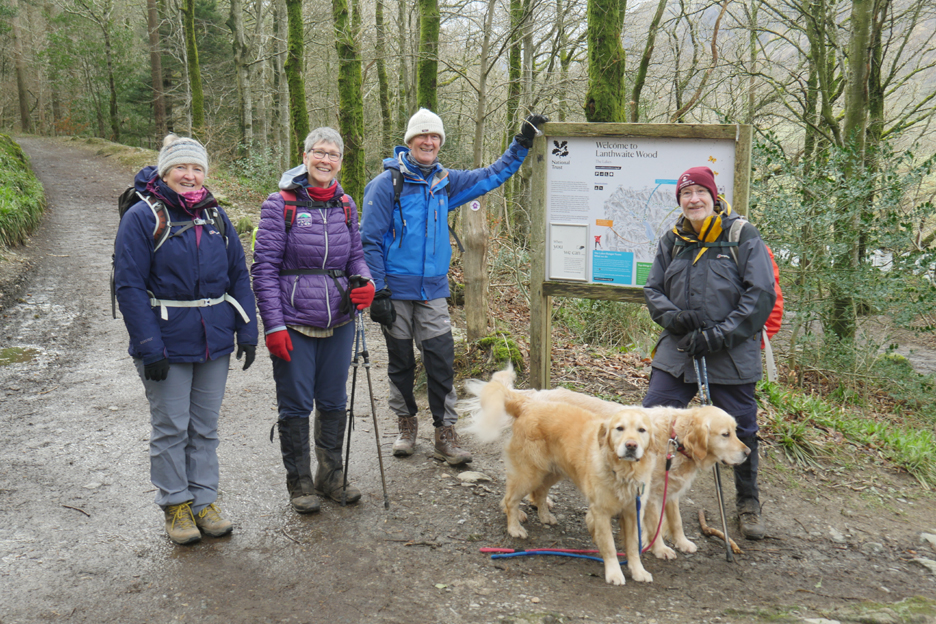
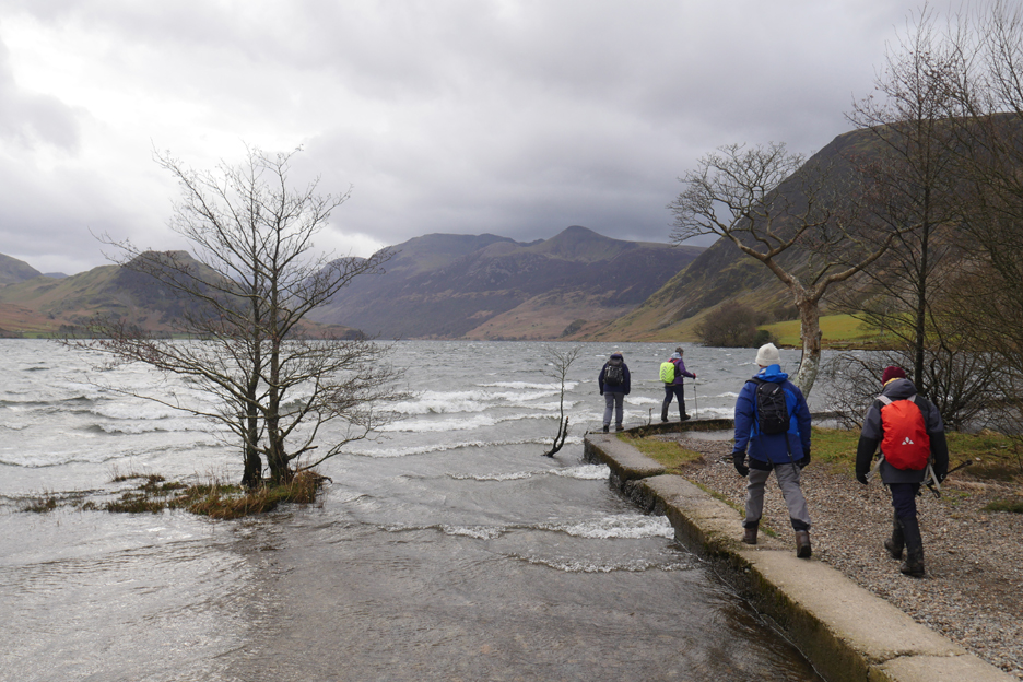
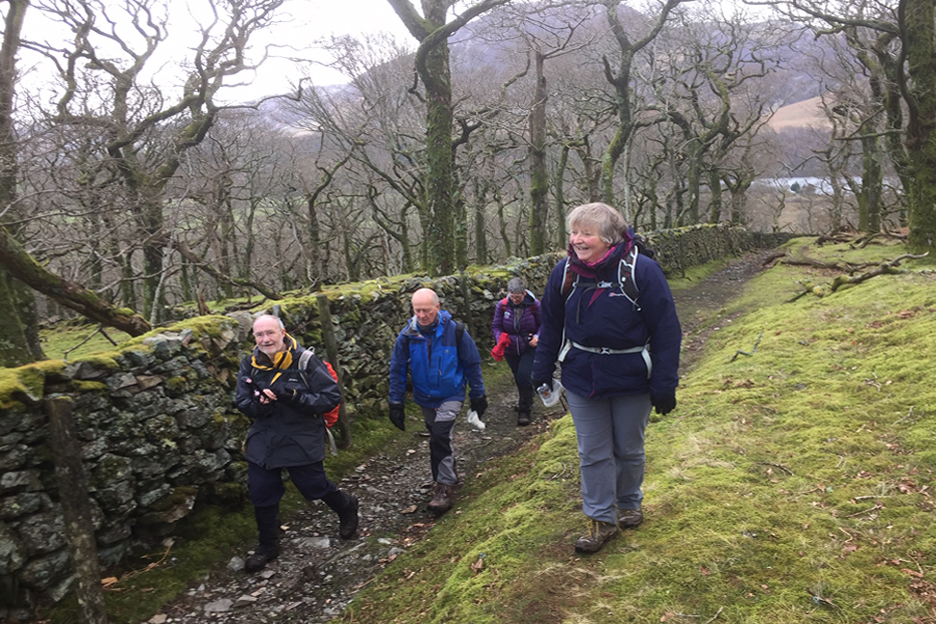
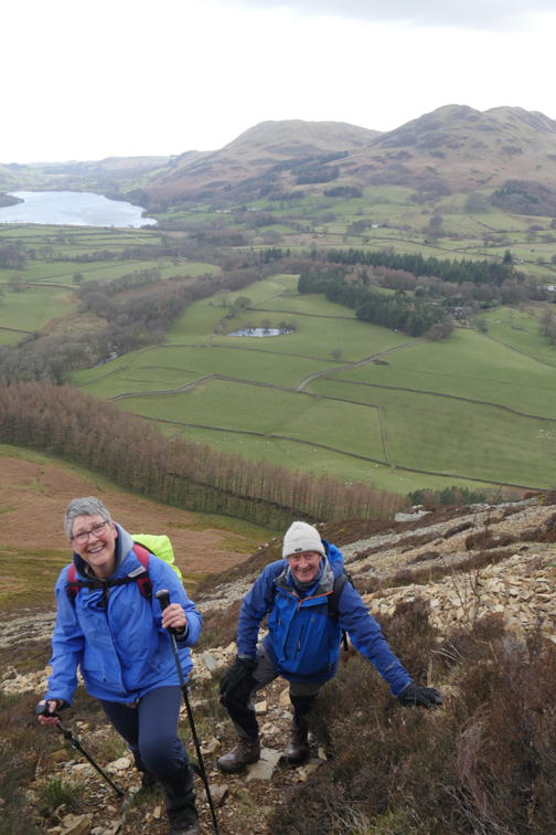
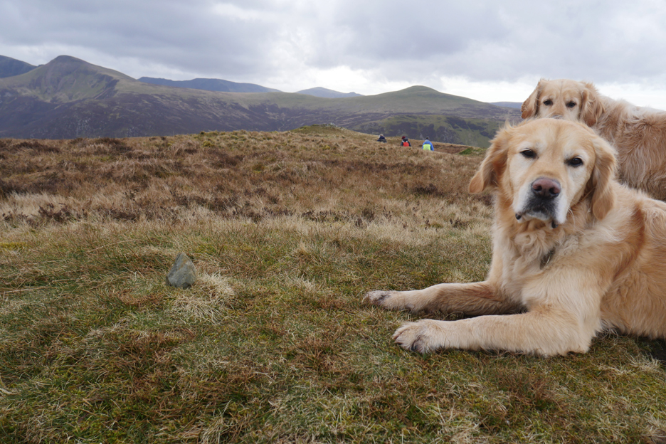
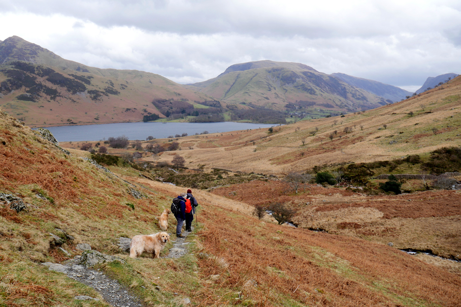
The group I'm walking with today also live locally, but come in a choice of colours. May I introduce you to Sue, Pip, Peter and Chris, all members of "The Mockerkin Mob".
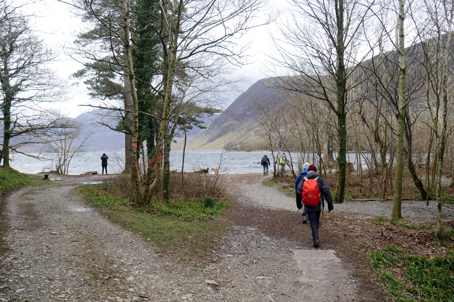
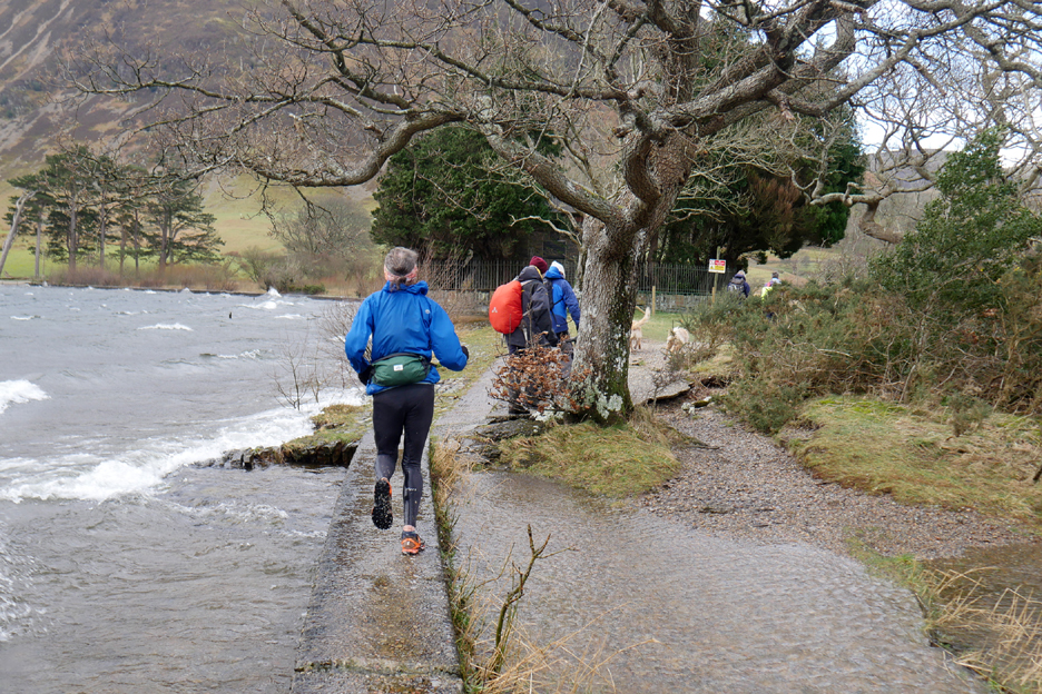
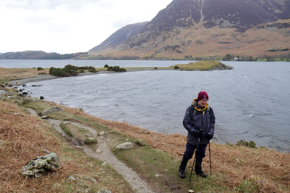
We all met up at Scale Hill car park with a plan to climb Mellbreak, and start with a walk through Lanthwaite Woods reaching the beach of Crummock Water and the gale that is blowing down the lake.
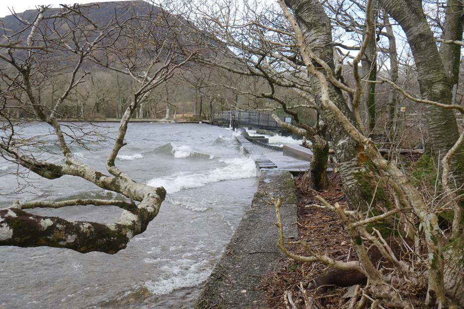
The strong wind is sending a continual series of waves across the surface of the lake, which then crash over the weir.
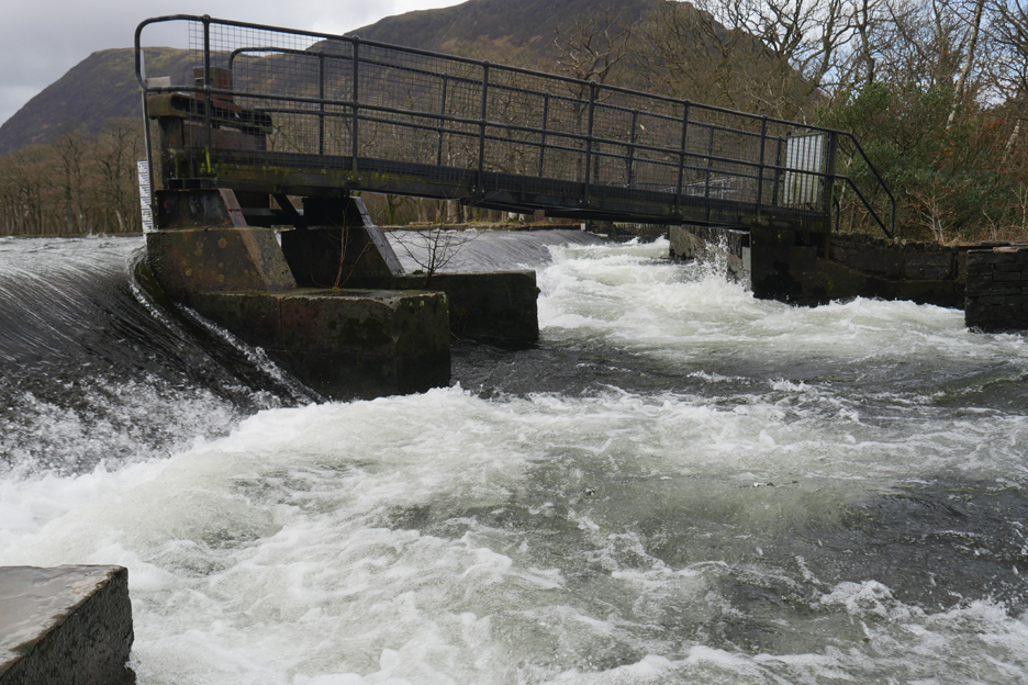
The lake is full and the water is flooding over the weir and down the fish ladder under the service bridge.
Rounding the corner near the pump house and time to judge your walk speed to avoid getting wet legs from the spray breaking over the wall.
This gentleman took the wall at speed, but then he also took most of the rest of his outing at speed too . . . I've met Dave before and had a quick chat . . . then he was gone ! Loweswatercam followers don't just walk around the place !
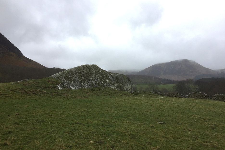
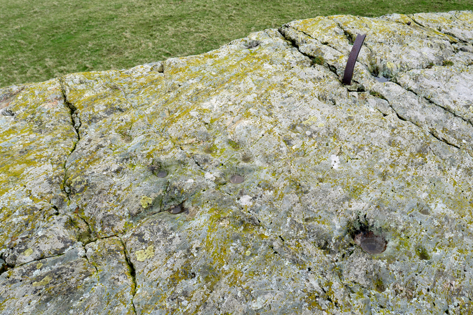
Chris and Pip, as leaders of the walk, took us along Park Beck, in order to visit the big rock in the 'Stone Field'.
Here we discussed the pre-historic cup marks found in the rock . . . no-one really knows their origin or purpose. There are thought to be tens if not hundreds of them on this rock and they are thought to date back to the bronze age, 2-3,000 years BC. The cup marks were probably made by hand-bashing at the stone with other pointed rocks.
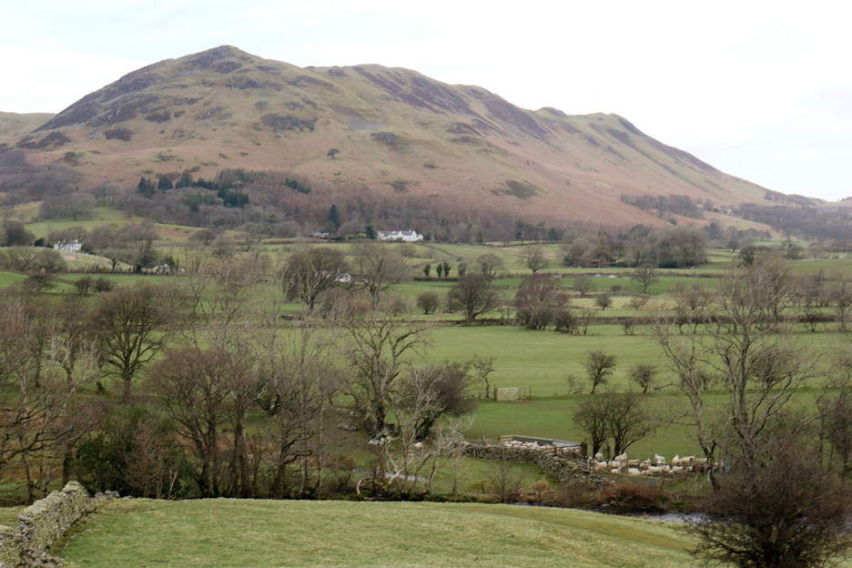
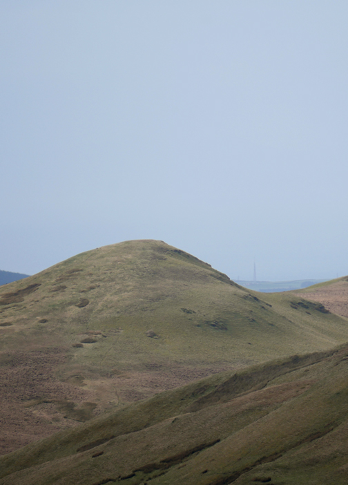
Still, while you are not busy carving hollows you can always stop and look around at the view of Low Fell. The houses, sheep and the field enclosures are new . . . they date to the current millennium.
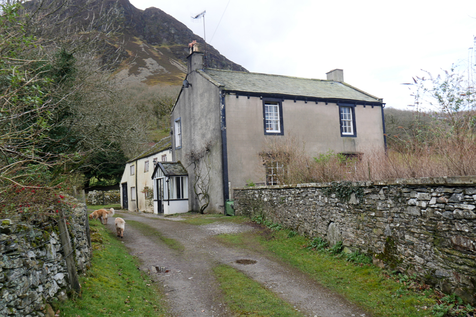
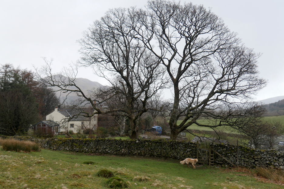
The other home is we pass is known by the slightly different name of Low Park House.
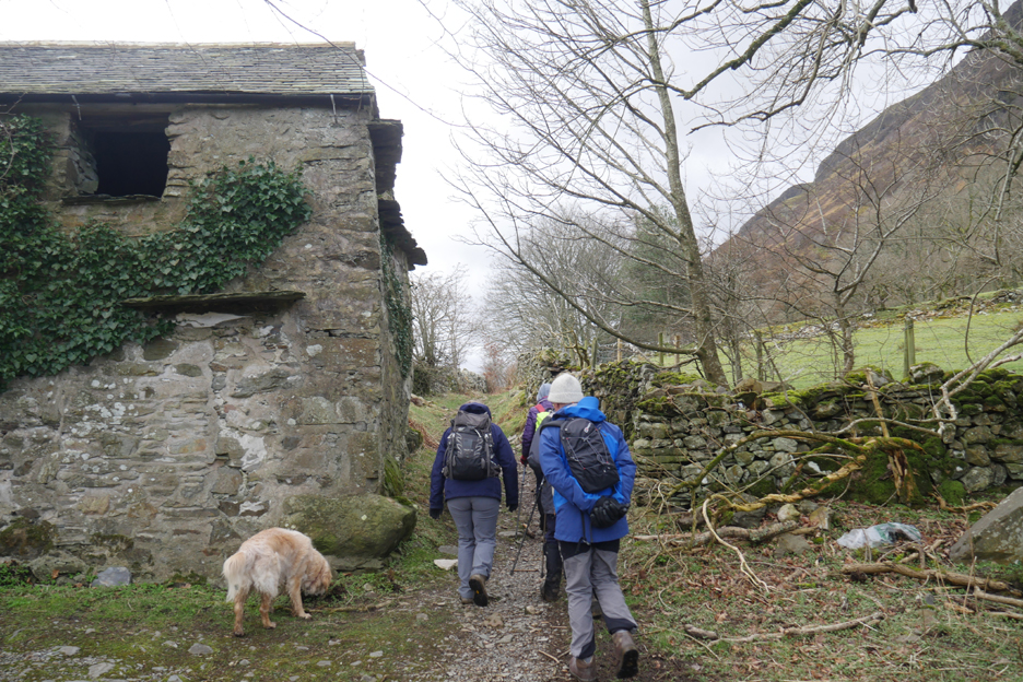
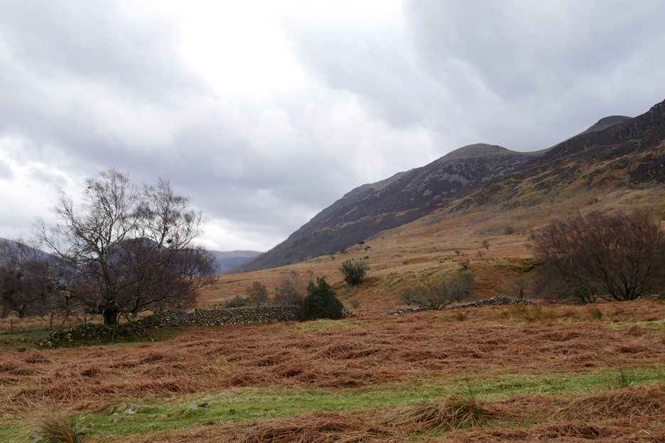
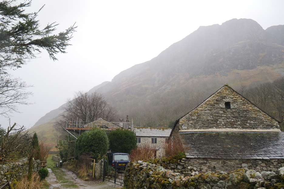
The old bridleway leaves the track and heads off close to the barn. Over the years the collapse of field walls and the infill with autumn leaves and vegetation now makes the lonning the size of a footpath.
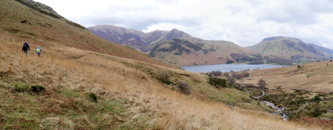
Sue takes the high road as we walk alongside Flas Woods wall.
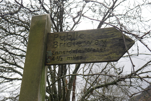
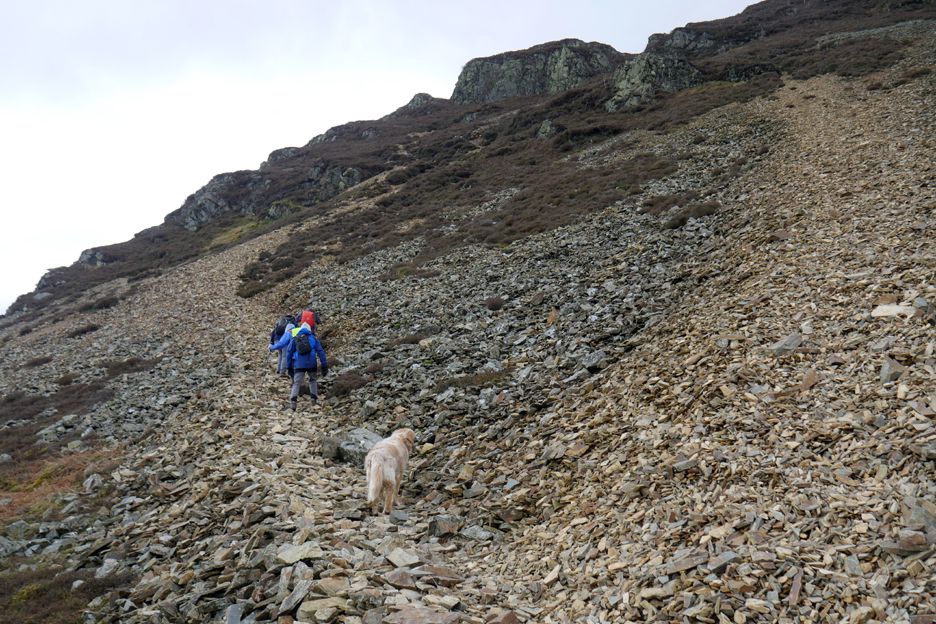
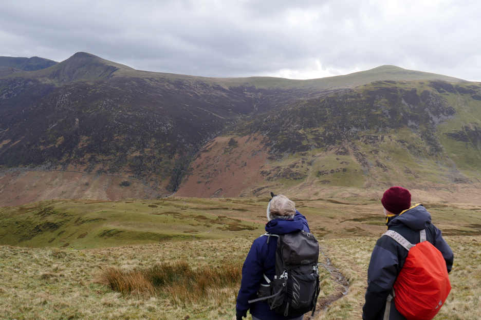
The bridleway continues into Mosedale by following the line of trees below, but we've turned and started the steep ascent of the northern face of Mellbreak.
If you are climbing this route, it is always easier to follow the footpath and avoid the ever moving screes.
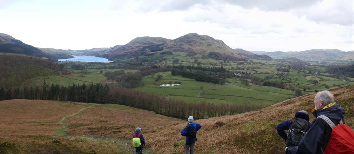
Climbing on lose stone and heather-edged paths we soon gain height, and so can look down on the lake and the houses of High Park far below. The Stone Field in the one directly 'above' High Park House, where the rock appears as a grey outcrop near an old field wall.
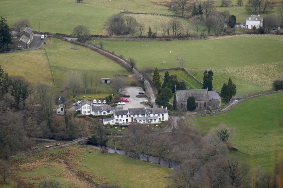
With the zoom lens on I look down on The Kirkstile Inn and Loweswater Church. The top left house with the white van is the Village Hall and top right is the Loweswater Vicarage.
The strong southerly has battered us all the way up, but at the 'Peep Round the Corner' we find a sheltered spot so decide on a quick stop for coffee . . . it is 11 o'clock after all !
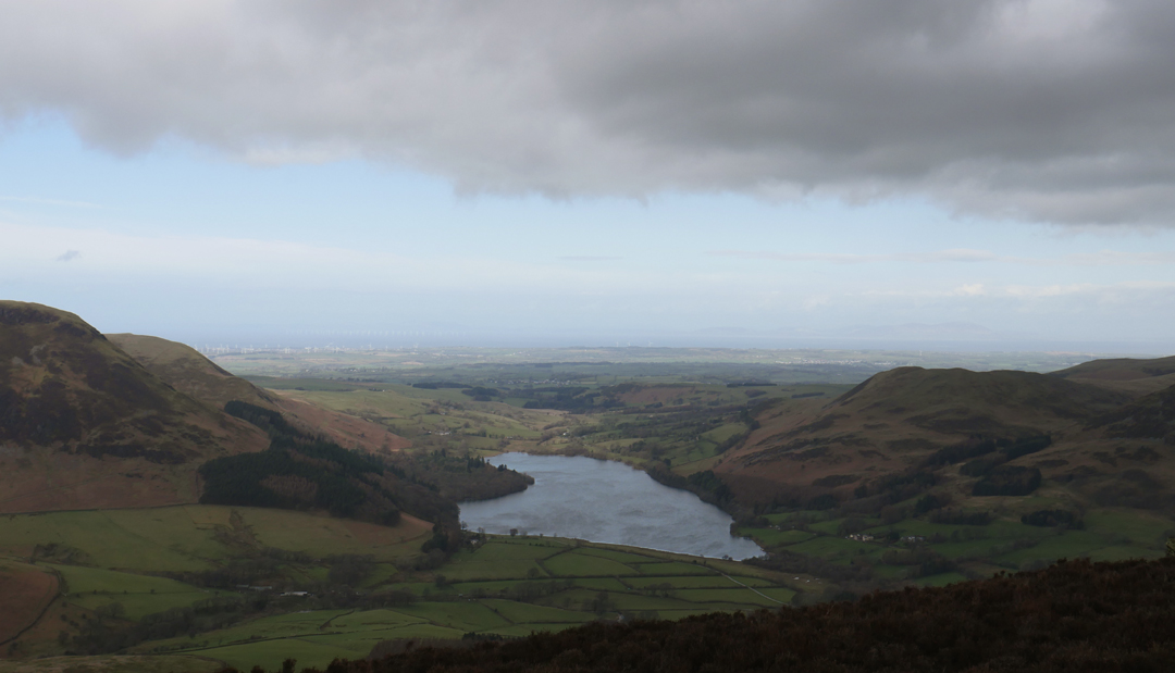
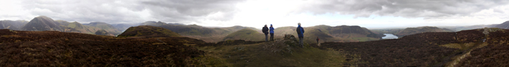
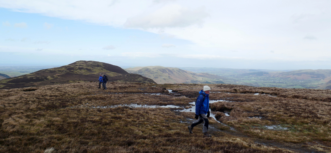
Moving on, we soon reach the northern top and enjoy the view over Loweswater to the Solway plain. We can just about see Scotland through the slightly murky conditions.
Fortunately the poor weather is holding off and I can take a quick panorama, with the strong winds helping me spin around as I do it. Click here or on the photo above for a 360 degree annotated panorama.
On their recce for the walk, Chris and Pip decided to add a detour across the top of Mellbreak to its eastern edge.
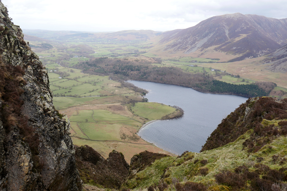
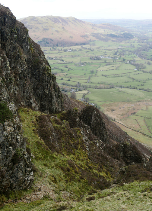
Here you'll find a steep gully which is guarded by what we know as 'The Pinnacles'.
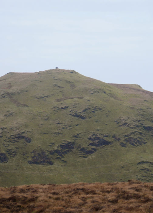
The rain of recent days which filled the lake to overflowing has also left plenty of surface water on the peaty top of the fell. Here Peter avoids the worst of the water on the final hundred yards to the southern summit. The northern end of Mellbreak can be seen above the other two people in the photo.
Hold onto your hats as we get blown across the highest point of Mellbreak . . . what no cairn ?
Okay Dougal, I'll make you one, especially for the photo . . . it must be the smallest ever summit cairn !
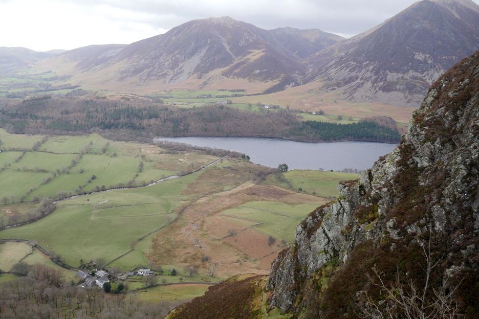
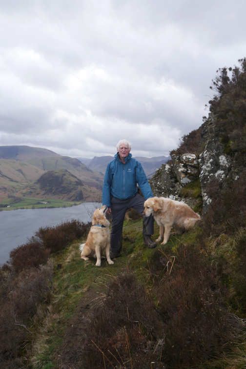
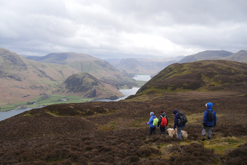
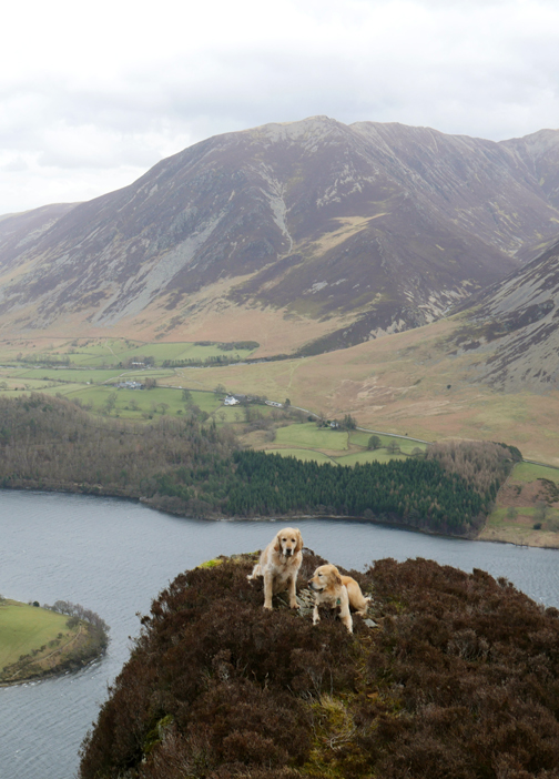
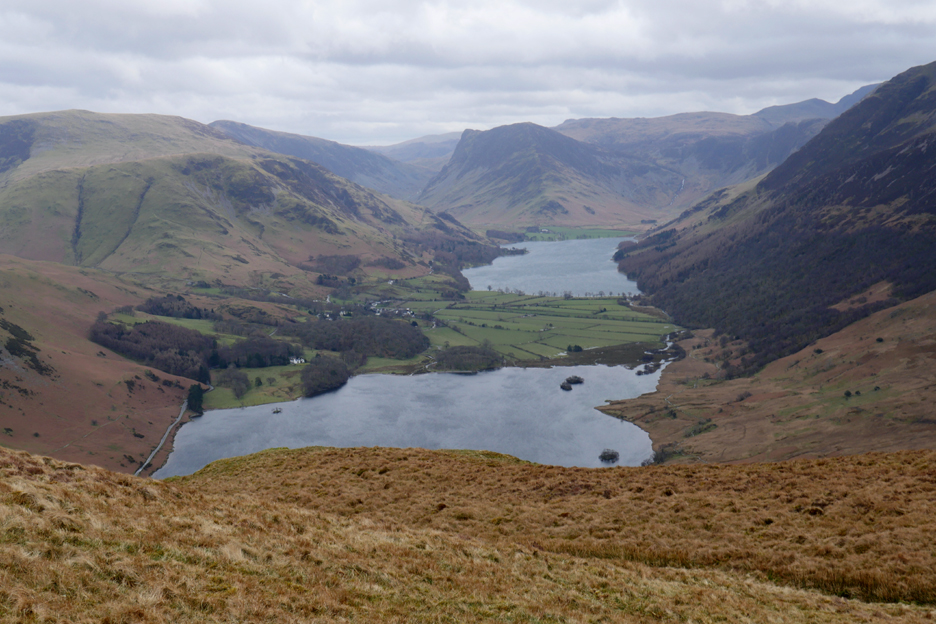
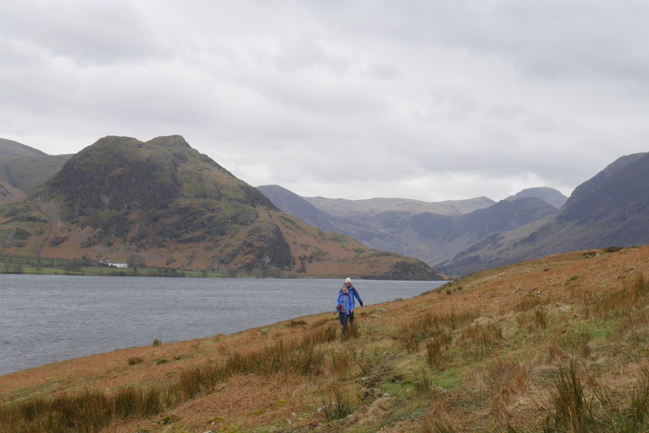
Views down to Crummock Water and Buttermere as we walk the ridge.
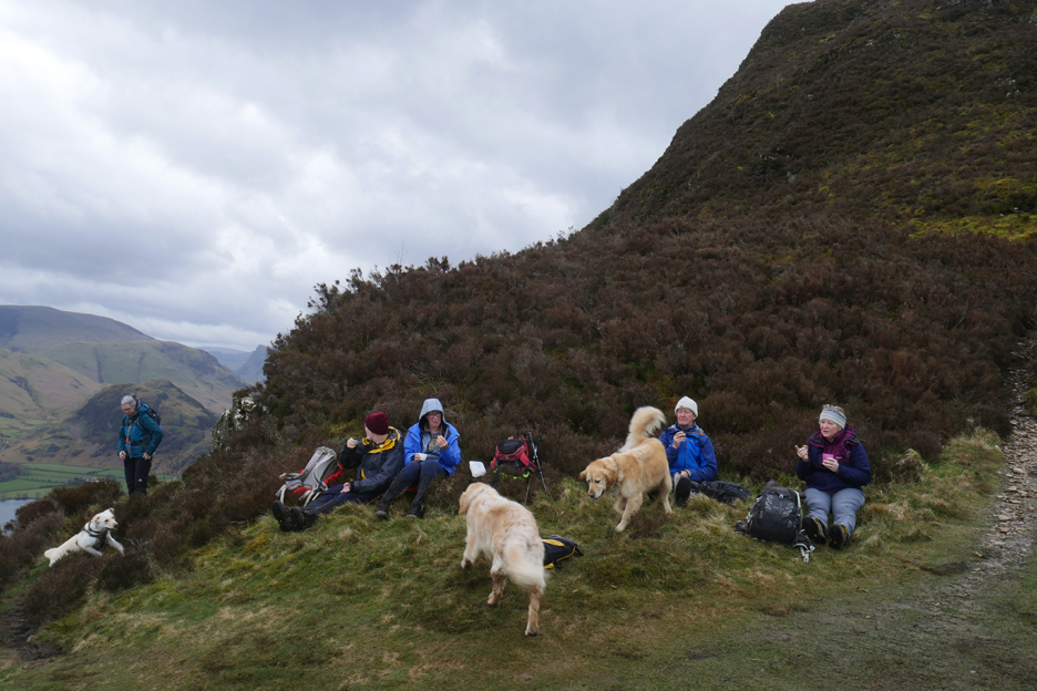
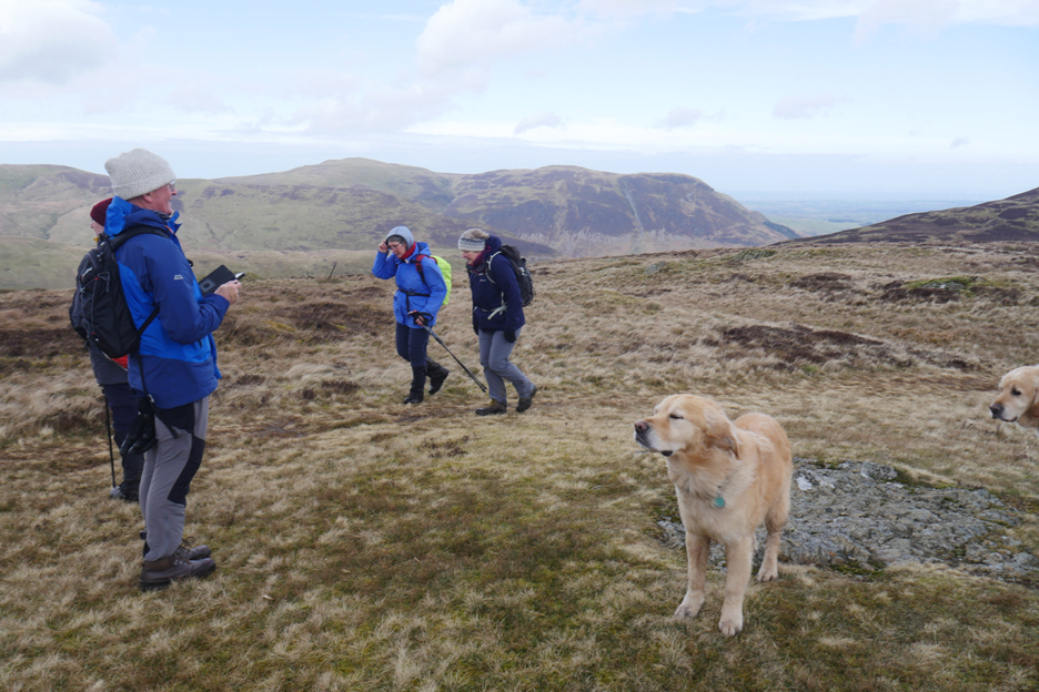
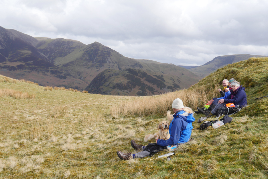
"That will be Red Pike" . . . Sue and Chris do a spot of summit spotting. It will be too windy up there for anyone contemplating lunch in the open. That green ridge below, on this side of Scale Knott, should however be a sheltered spot for ours.
Told you so, and as if by magic the sun came out !!
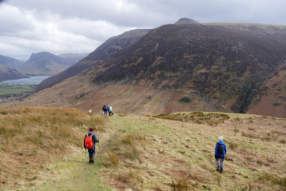
Onward and downward as we head off the southern end of the fell.
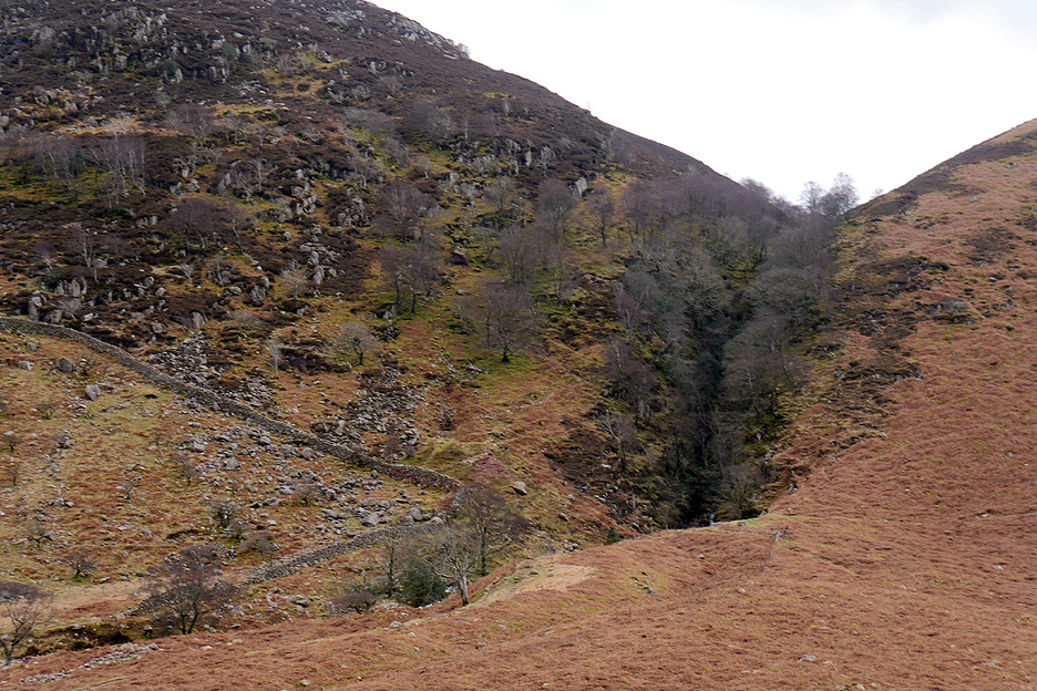
No plans to visit Scale Force today, so we stay this side of Black Beck and make our was gradually down towards the lake.
The impressive Scale Force waterfall is hidden entirely in the wooded cleft on the opposite side of the valley.
Chris discovered the muddy nature of the Scale Beck path below, so stayed higher up the fell for this part of today's walk.
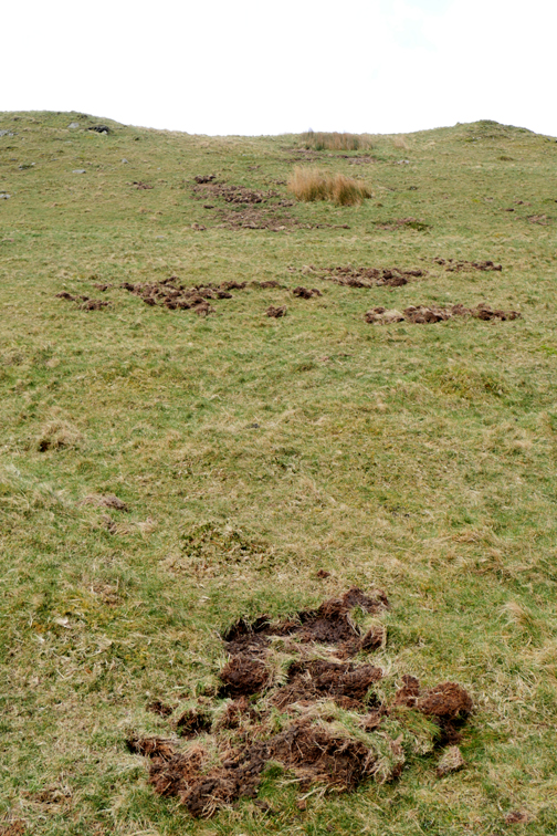
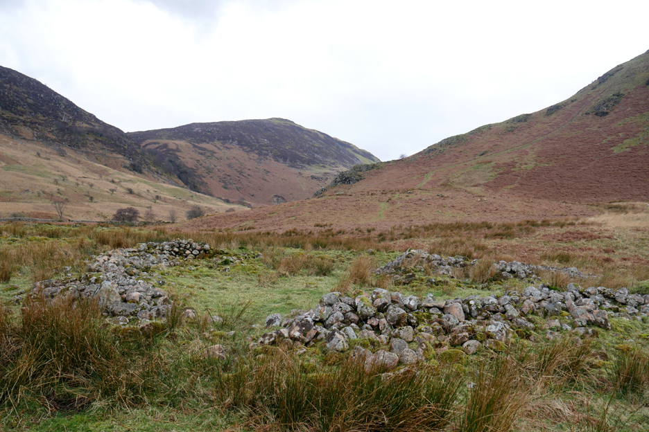
Our route brought us down to the ancient abandoned village alongside Scale Beck. Looking around we could see a significant number of medieval enclosures and rectangular foundations of houses. This may have been a summer pasture with dwellings which existed at a time when the weather was better and the grazing more productive.
There are thought to be even more stone circles, consistent with old round houses, on the high ground on the other side of the wall.
Our path veers left and we finally descent to lake level, close to Low Ling Crag.
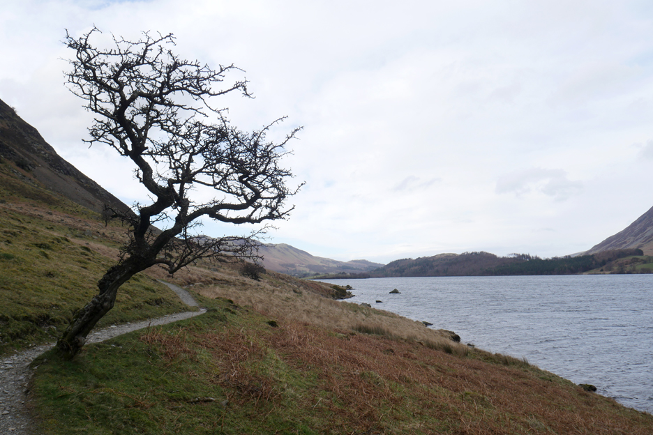
All we have to do now is to walk back to those distant trees at Lanthwaite Woods. The weather, though very windy ay times today, has been relatively kind to us on the walk.
The white horses on the lake are almost gone, and with the wind on our backs we sail along.
Sue has a late afternoon function and decided that there would be time to enjoy that too if she headed out directly for the car at Scale Hill. That black speck in the distance is her striding out towards Sandy Yat bay.
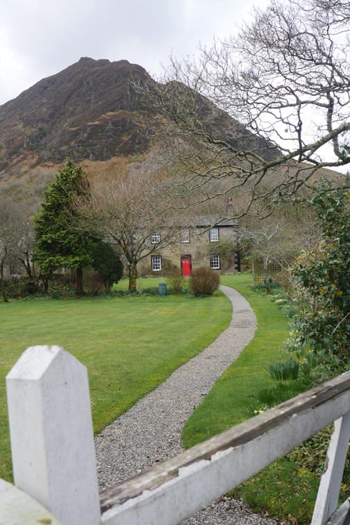
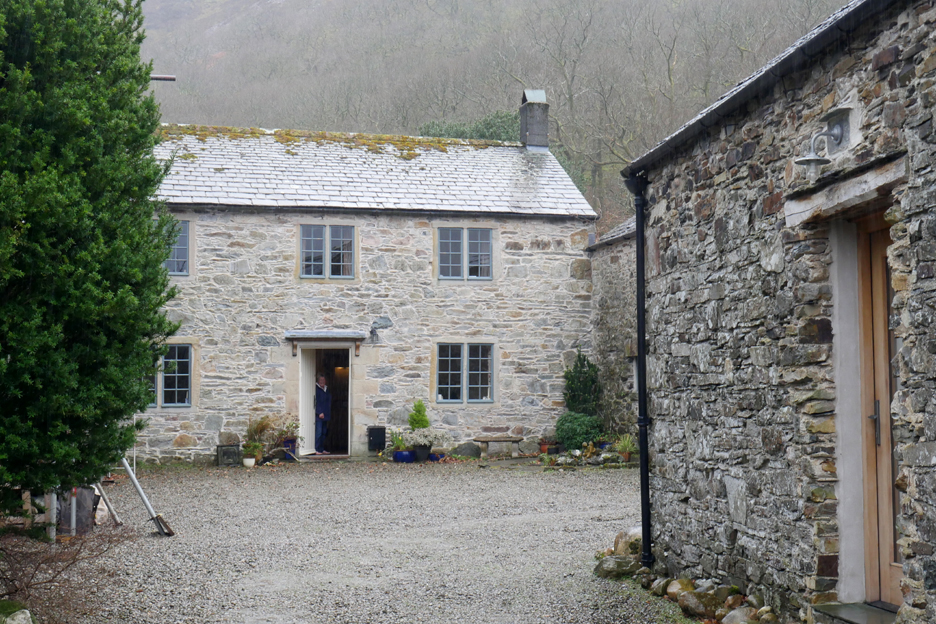
However, the rest of us have an invite for a cup of tea "if we were passing" at the home of Caroline and David, two regular members of The Mockerkin Mob who were not actually out walking with the group today.
A welcoming open-door invitation from fellow Mob members.
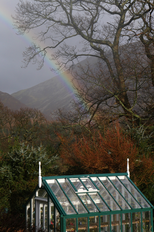
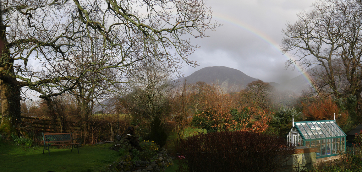
Forty minutes and two cups of tea later we emerge . . . to a rain storm ! The strong winds have blown in a big wet cloud which is intent on making us as damp as possible.
At Low Park we split, Chris and Pip taking the bottom road to their car, Peter and I taking the Kirkstile road as we each walked from our homes today. So ended a very pleasant, chatty Mob outing to this local Wainwright top.
I even had time to take a couple of photos to capture the whole of the rainbow, albeit partially hidden by the the Oak of Oak Cottage. - - - o o o - - -
- - - o o o - - - |

Technical note: Pictures taken with my Panasonic Lumix Gx8 Camera.
Resized in Photoshop, and built up on a Dreamweaver web builder.
This site best viewed with . . . The offer of refreshments at the end.
Go to Home Page . . . © RmH . . . Email me here
Previous walk - 12th March 2022 - Brougham Castle Walk
A previous time up here - 23rd June 2012 Mellbreak with the Girls