|
|
|
 |
Remember: Press F11 for a
full screen view of this page. |
Web Counter when published 1
976 190 |
|
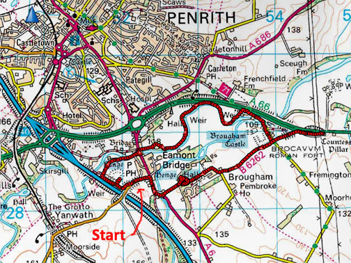
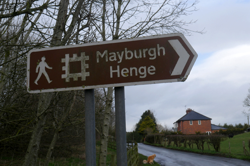
" Brougham Castle Walk " Date & start time: 12th March 2022. 10 am start. Location of Start : The Millennium Stone, Eamont Bridge, Penrith, Cumbria, Uk. ( NY 520 283 ). Places visited : Mayburgh Henge, Brougham Castle, Lady Ann Pillar, Brougham Hall and return. Walk details : 6 miles, 300 ft of undulating ascent, 3 hours 40 mins incl lunch. Highest point : Discovering previously unvisited places. Walked with : Loes and the dogs, Dylan and Dougal, plus 17 other "Cockermouth Striders". Weather : Changeable with spots of rain but also good sunshine. A big thank you to Stan Leigh and Frances for organising the walk. ( Today's walk is shown in deep red so as to contrast with the motorway colour.)
|
© Crown copyright. All rights reserved. Licence number PU 100034184. |
|
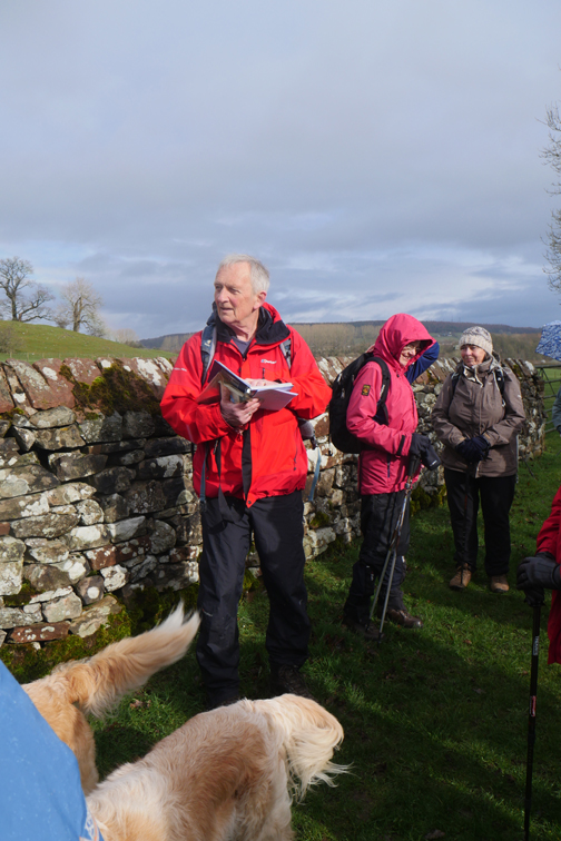
An invitation to join a different walking group today . . . the Cockermouth Striders. The group was originally based around a King's Church Men's walking group, but over time has evolved to become a mixed group of people. Its leader Stan Leigh and his wife Frances, now organise more local and historical walks, of which today's is a perfect example.
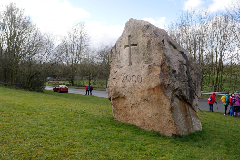
New territory for me as Loes and I drive over to Penrith. The meeting point is the Millennium Stone just south of Eamont Bridge on the A6 between Penrith and Lowther.
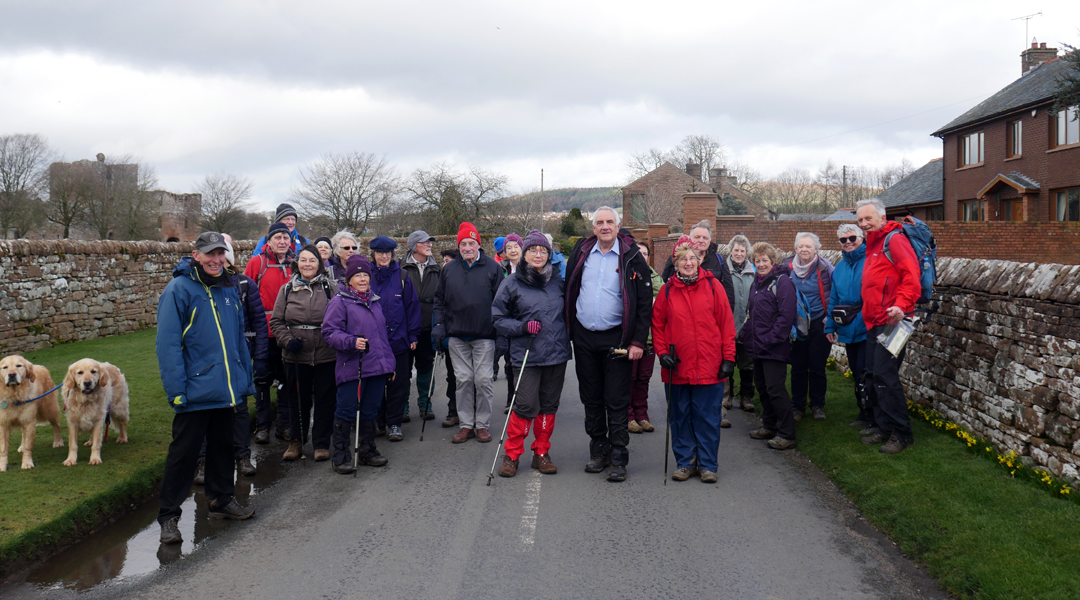
The group numbers nineteen today including Frances, with Loes and Stan on the right.
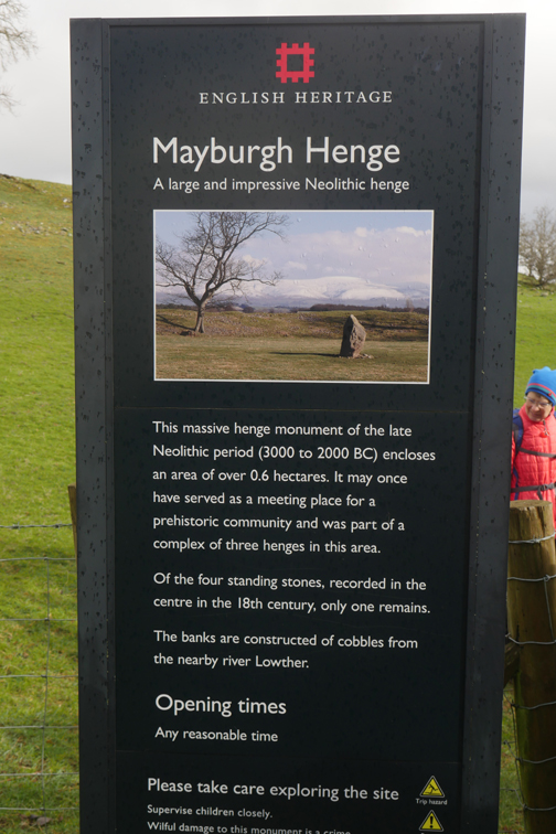
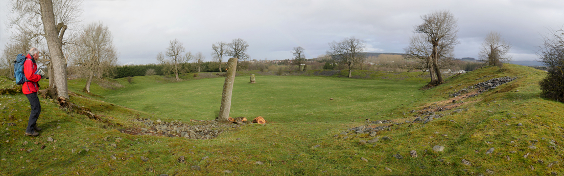
It has an impressive circular bank of river washed stone . . .
. . . that forms a great arena of level ground inside its walls. It was thought to be a meeting place and 'English Heritage' even suggests a sporting use as well as a ceremonial venue. It has one remaining standing stone of four that were thought to grace the central grassy area.
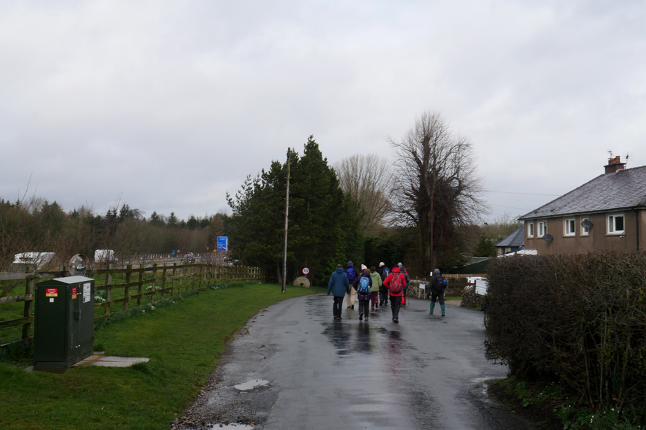
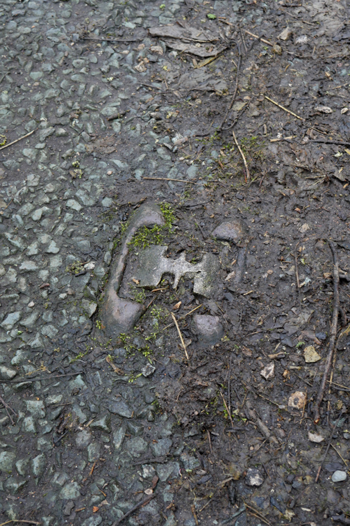
As the henge was very close to where we parked, the walk properly started beyond with a short walk in a northerly direction, alongside the motorway and towards the river. The millstone ahead hints at the presence of old water mills in this area.
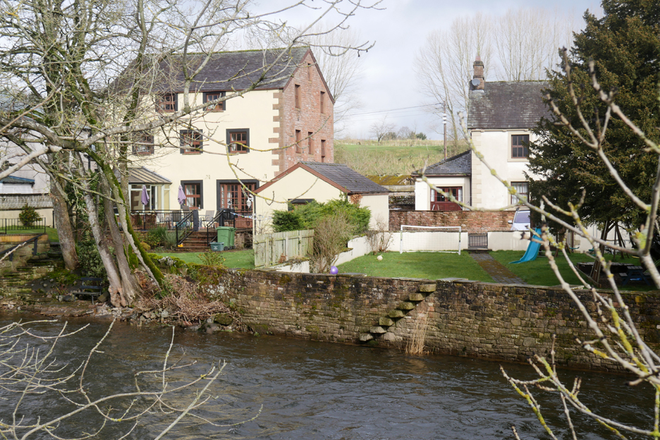
The houses on 'North Bank' have lovely riverside gardens but also a certain amount of flood protection in the form of walls and banks. This side of the river was an area known as Bleach Green, implying a history of bleaching cloth after weaving in local clothing mills.
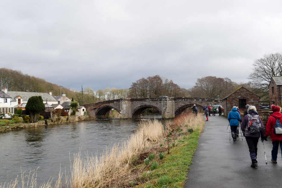
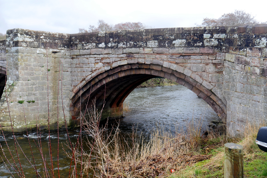
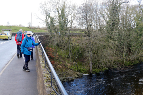
We are quickly across to Eamont Bridge where the old A6 road to Scotland (or to England if you're Scottish) crosses the river.
It was one of the the main crossing point of the river and carried people, trade and warring Scottish and English Armies north and south over recent centuries.
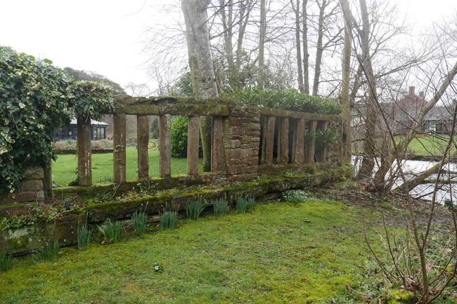
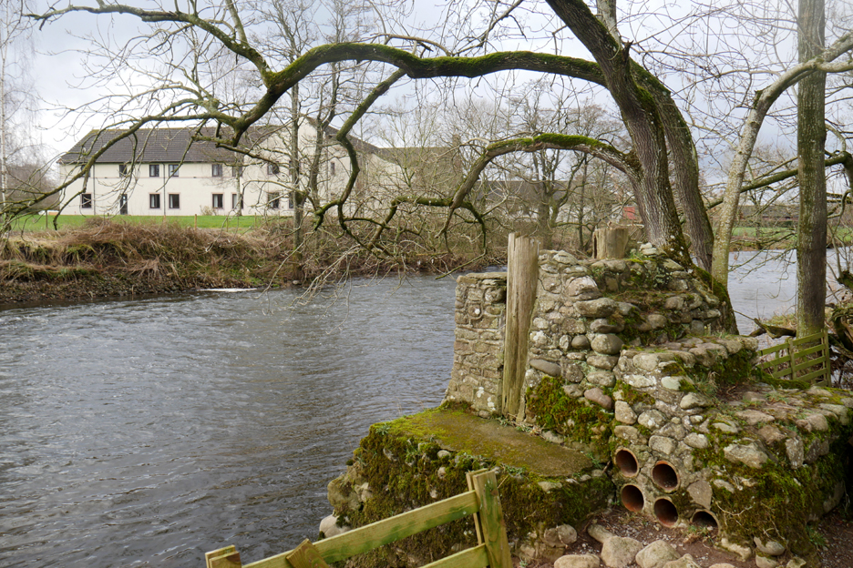
The historic mills on the river include this property. The renovated house is much changed but the garden wall looks really old. It was obviously not designed with flood prevention in mind . . . perhaps these extremes of climate are a more modern thing ? (Answer as a PhD thesis in your own time please.)
Certainly a recent flood, probably Storm Desmond in 2015, may have seen the demise of this old footbridge. The current map shows a footbridge but the footings for the bridge on the opposite bank are no longer visible.
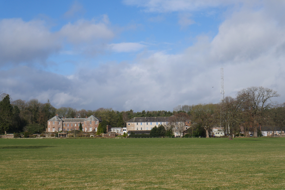
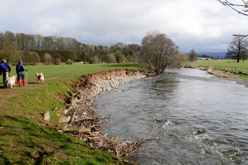
The walk now follows the river's northern bank across the extensive farm fields of Carltonhall Park. The old Carlton Hall and surrounding buildings are now part of the Cumbrian Police Headquarters.
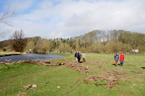
Loes and Stan chat as we walk on towards another old mill site, home now to a relatively newly build home.
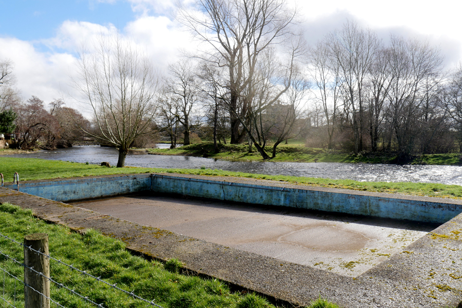
The riverside garden had an interesting feature . . . an (empty) open air swimming pool. The water on the other side of the green bank to the right, is the River Lowther which joins the River Eamont just beyond this point.
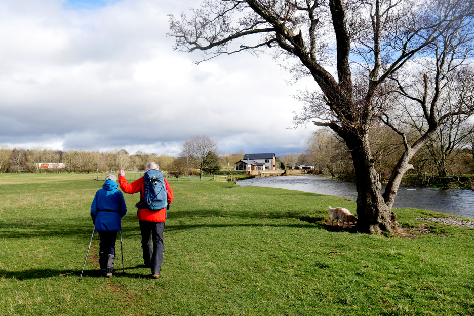
Another new build has a fantastic view across the river to Brougham Castle.
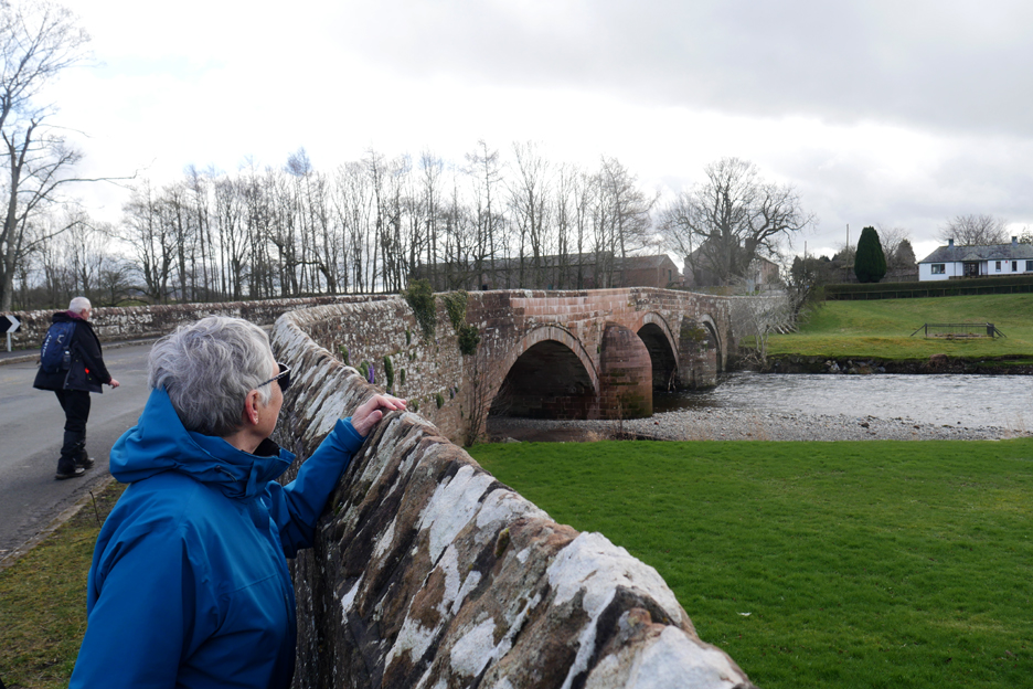
Loes looks over the wall of Castle Bridge at the castle and its surrounding area, which includes signs of the old fortifications. The bridge was also damaged in the 2015 floods and was shut for nearly a year as repairs were undertaken. The new stone in this and the next photo give an indication as to the extent of the damage caused by the water.
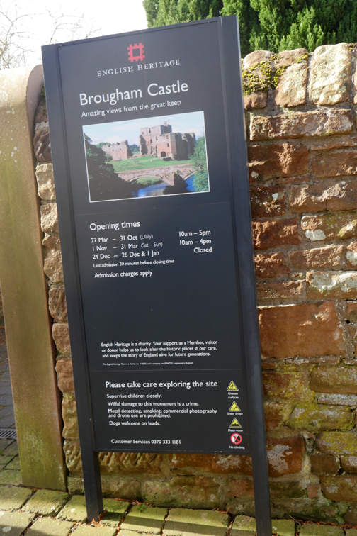
Looking over the repaired parapet at Brougham Castle Like Eamont Bridge and the town of Penrith, this castle and bridge were sited on strategic north / south river crossing points.
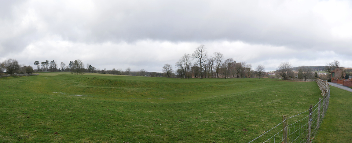
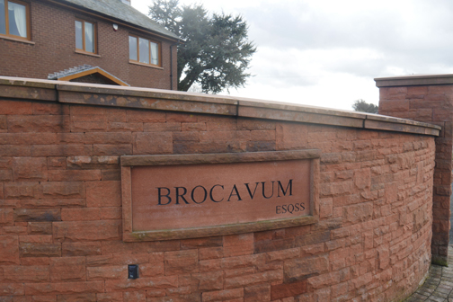
The area on the opposite side of the castle from the river also has major man-made earthworks. These are the vallum and ditches that surrounded the site of the old Roman Fort of Brocavum.
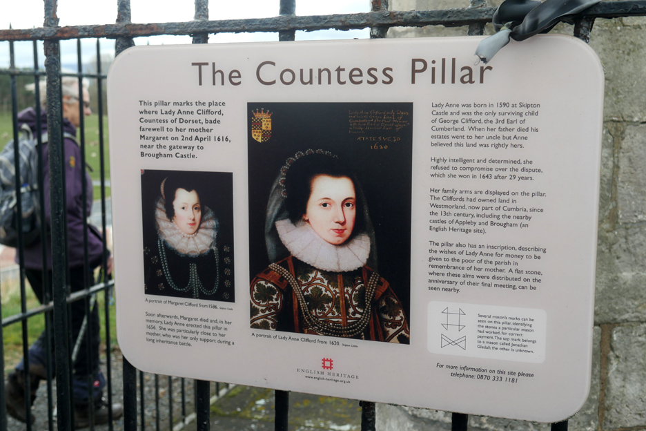
Brougham Castle was one of the historic buildings owned and maintained by Lady Ann Clifford, Countess of Dorset. She was born at Skipton Castle in 1590 and was the only surviving child of George Clifford, the 3rd Earl of Cumberland.
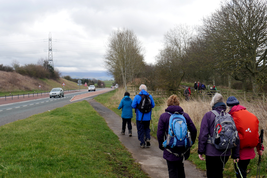
Stan now led us briefly alongside the modern A66 road that forms a major crossing point of the northern section of the Pennine Hills.
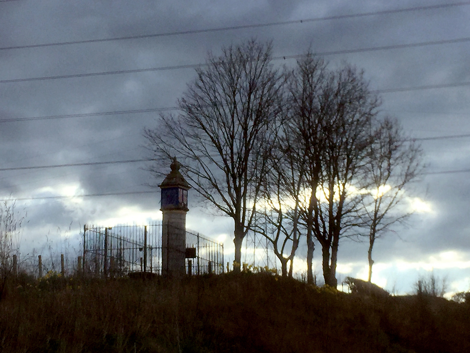
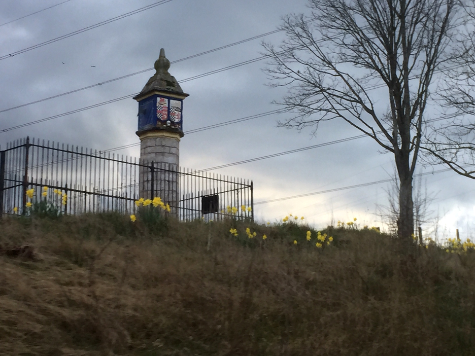
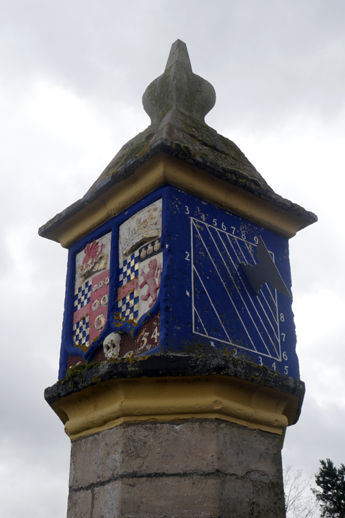
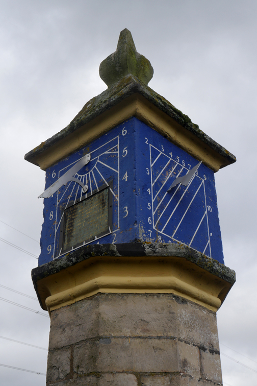
When travelling west along the A66 I've often noticed this pillar up on the bank alongside the road. Theses two photos were taken on a separate occasion as I was passing by car (someone else was driving !).
The pillar stands next to the old road which followed a route up and over the elevated ground. The new A66 takes a lower path through a road cutting alongside.
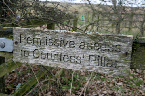
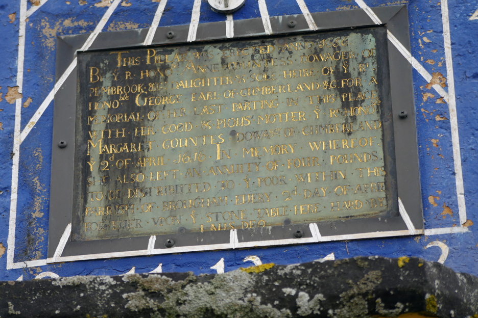
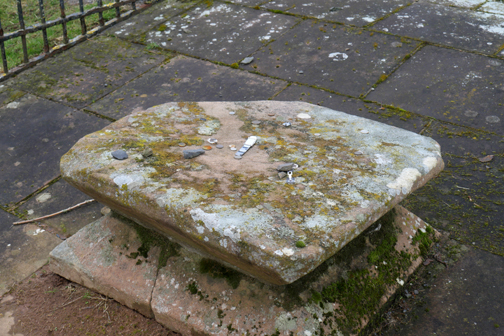
However as we were walking we were are able to stop and admire the pillar close up. It was erected by Lady Ann in memory of her Dowager mother Margaret, at a point where they parted company in 1616. She was particularly close to her mother during her life, but Margaret died soon after their parting at that time.
We re-traced our step, then headed past the Roman Fort once more, on the road to Brougham Hall.
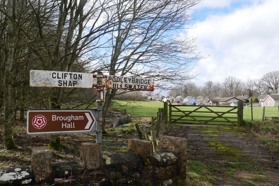
The old roadside finger post dates from before the motorway, when this was the normal route from the A66 to Pooley Bridge, Ullswater and Ambleside in one direction and Clifton, Lowther Castle and Shap in the other.
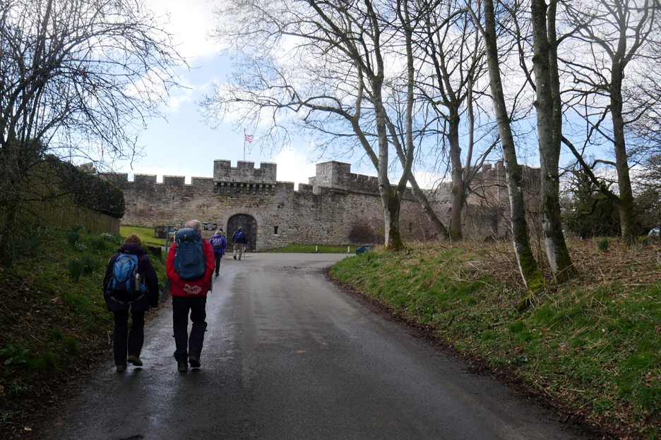
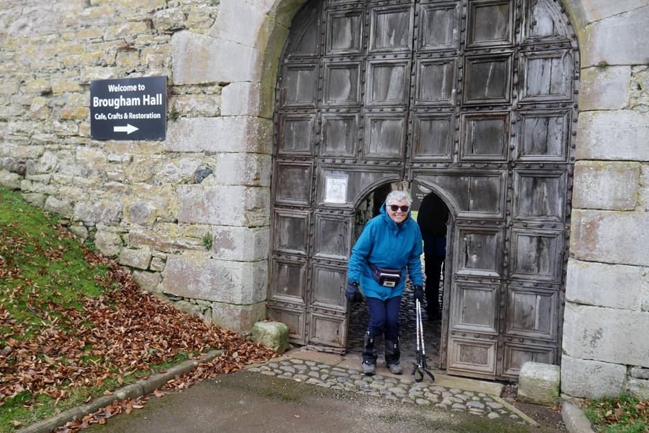
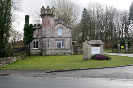
Walking the route of an old Roman road we approached Camelot . . . no actually it was the impressive walls of Brougham Hall Dubbed by the Victorians as 'the Windsor of the North' it has been the site of a fortified home since 1307. The site reached its heyday in between the 1830's and the 1900's.
Loes stoops slightly to enter the grounds via a more modern but still very old doorway.
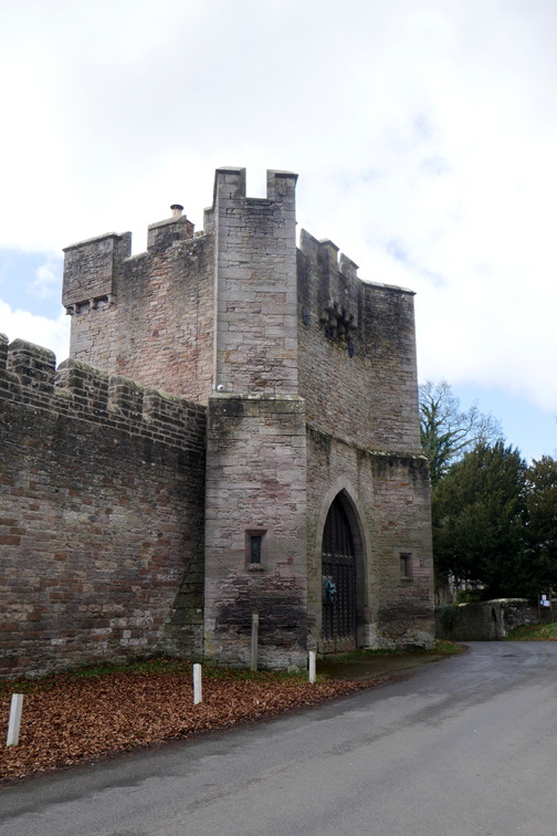
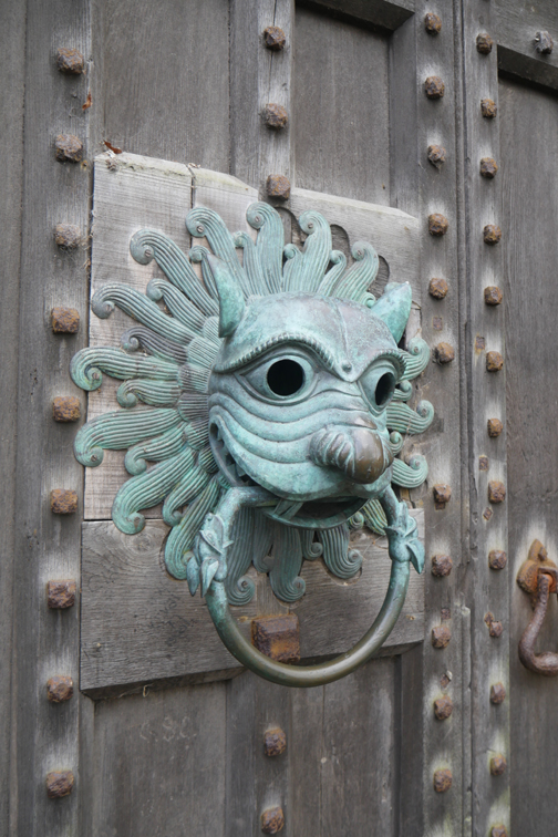
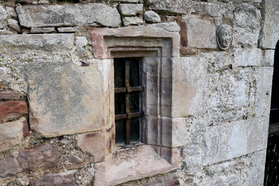
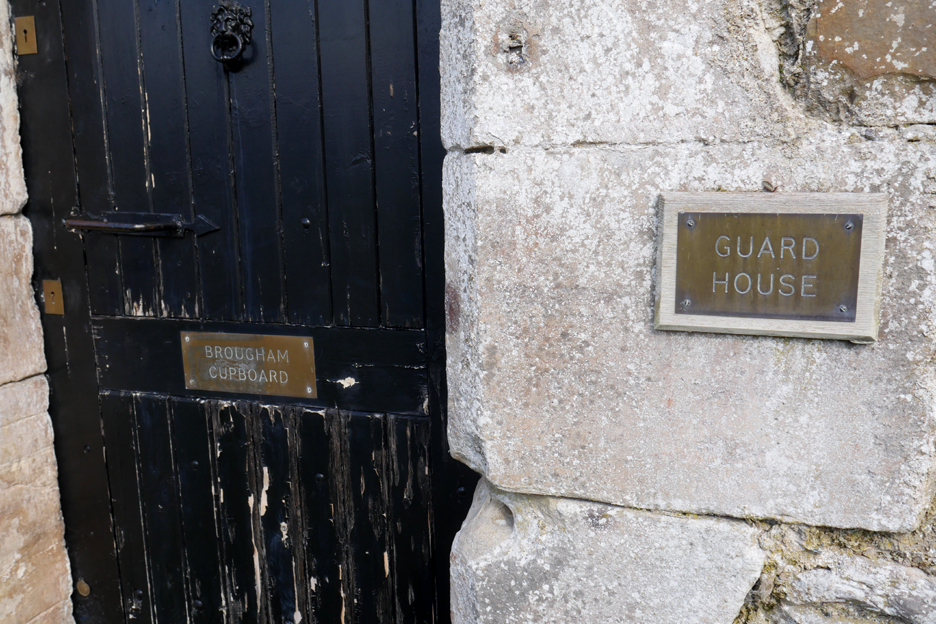
The windows and ornate carvings of the guard house. I've always pronounced Brougham as "bruff-ham" because the town of Brough further along the A66.
I learn today that local tradition is to pronounce this as "Broom". The door alongside the Guardhouse proves the more locally correct pronunciation.
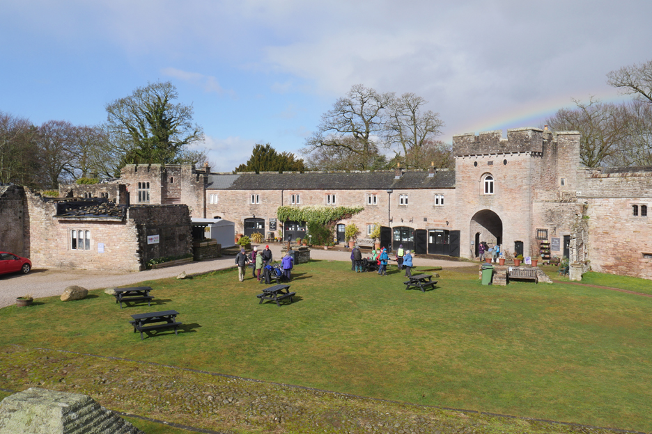
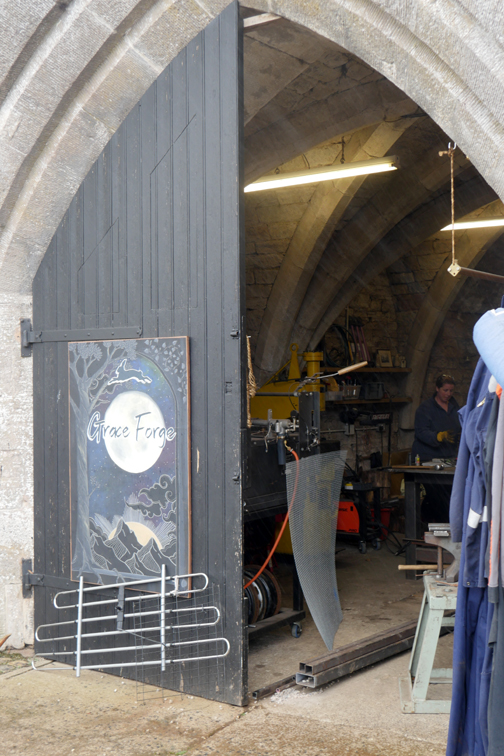
Inside The Hall is a delightful grassed central court which is now home to a cafe and craft shops. Brougham Hall is still privately owned and was only rescued from demolition as recently as 1986.
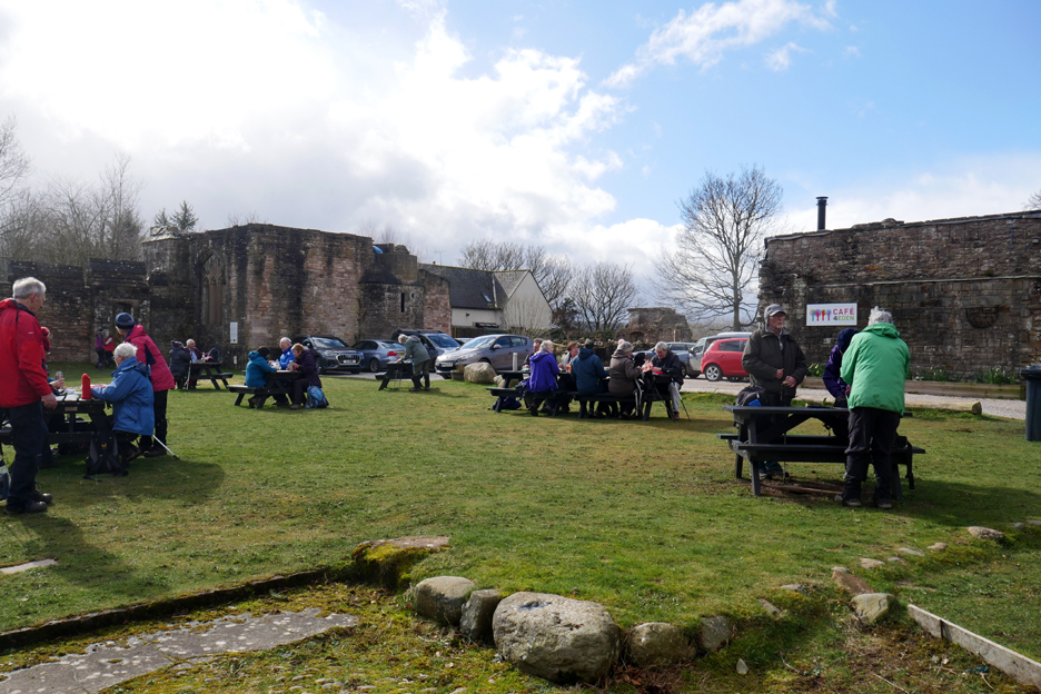
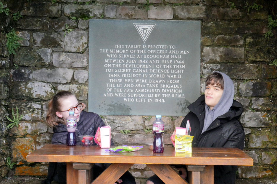
We stop for our lunch outside in the sunshine.
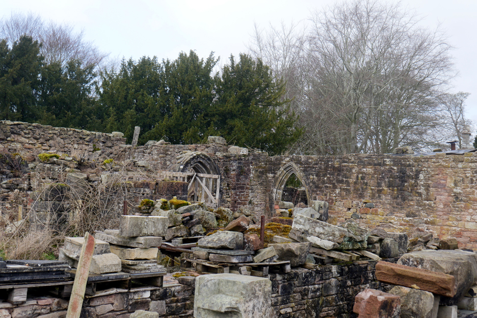
The restoration is still "work in progress" but is the largest private property restoration in the North of England.
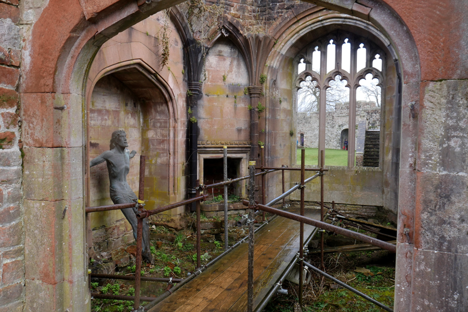
This small three story tower still has a lot of work yet to be done.
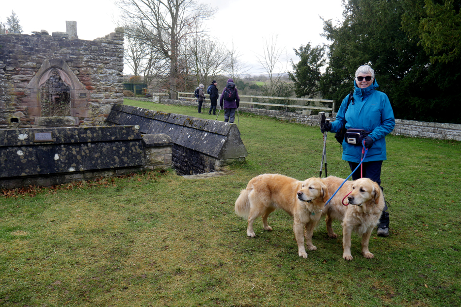
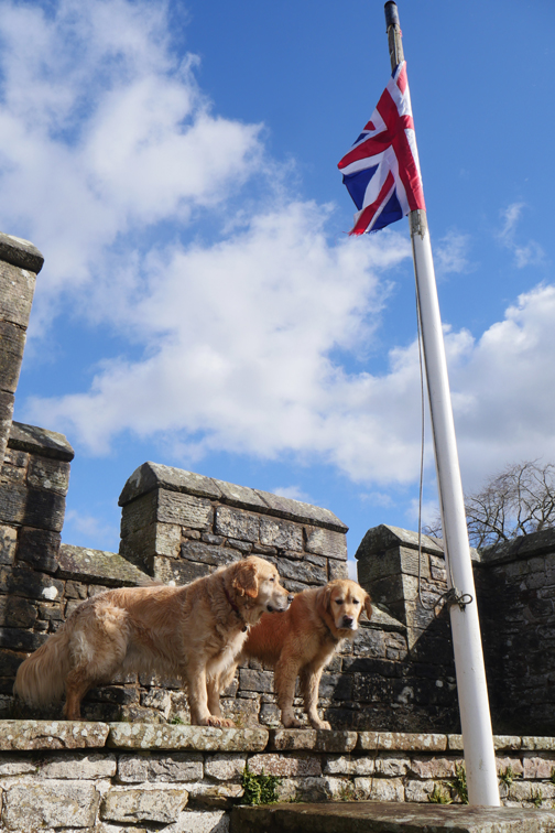
Dougal and Dylan take Loes up onto the parapet for a view from the walls.
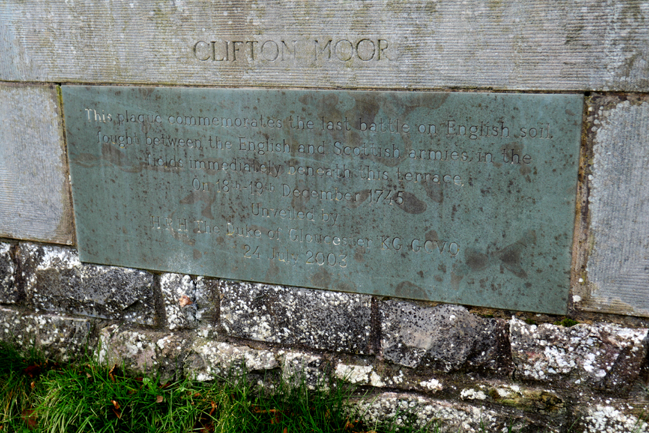
The plaque commemorates the last battle on English Soil, which took part in the fields below in 1795 Jacobite Rebellion which became known as the Skirmish of Clifton Moor where twelve Jacobites and fourteen Duke of Cumberland's men died.
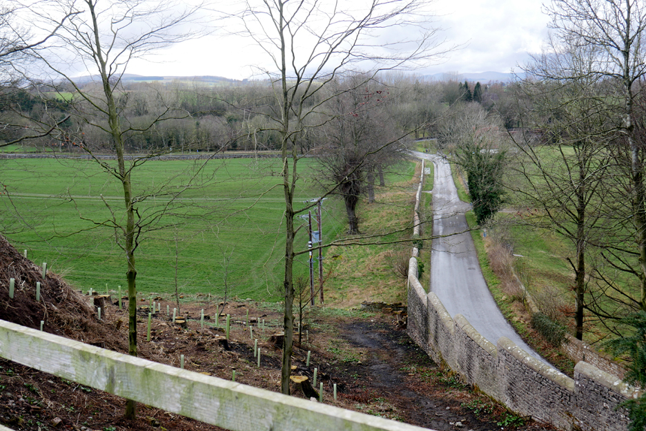
The fields of Clifton Moor.
Brougham Hall saw wartime service and this included receiving a visit from Winston Churchill who came her to discuss the war effort and top secret projects at that time.
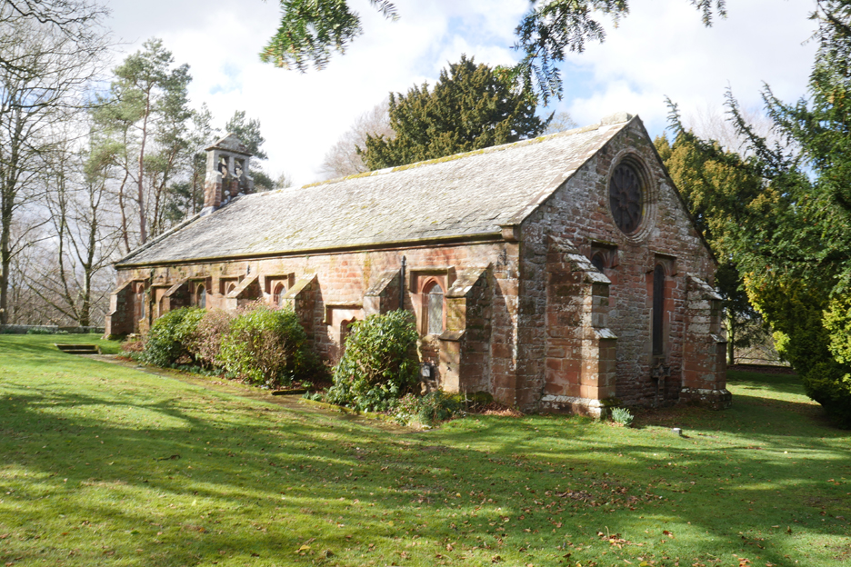
Outside the walls of the main hall is a rather underused St Wilfrid's Church This was built on the site of an earlier chapel, by Lady Anne Clifford when she inherited the estate.
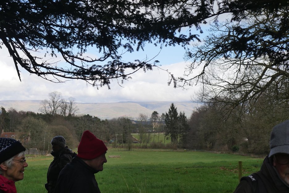
The afternoon weather has cleared beautifully offering views of the Cross Fell on Pennines that Stan had promised us at the start of the walk.
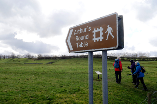
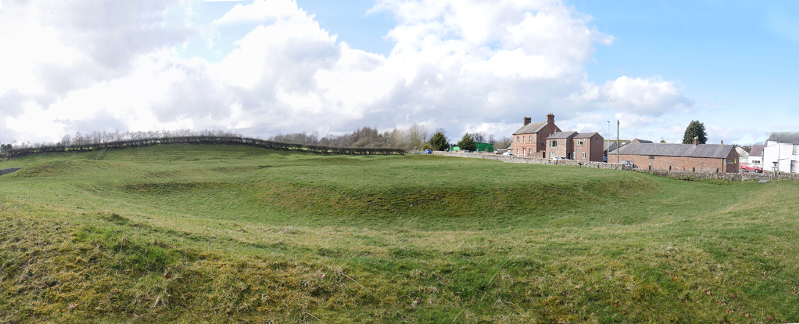
Here we had a quick visit to Arthur's Round Table, another English Heritage site.
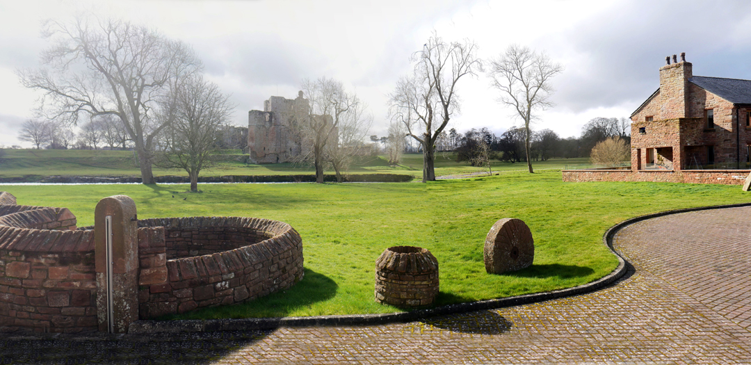
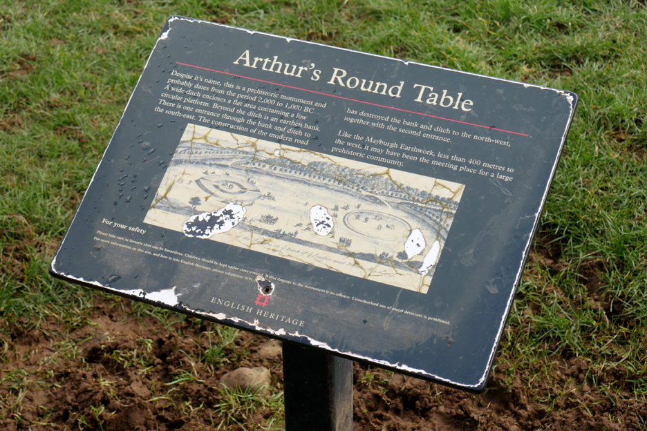
However the information board tells us that the site's history owes more to the adjacent Mayburgh Henge and its Neolithic residents than to King Arthur, who dates from many centuries later. The two ancient sites are illustrated here in the same picture even though our road back to our cars at the start of our walk now divides the land between them. - - - o o o - - - Thanks to Stan and Frances for an interesting and informative day out in this area within fighting distance of Penrith.
|


Technical note: Pictures taken with my Panasonic Lumix Gx8 Camera.
Resized in Photoshop, and built up on a Dreamweaver web builder.
This site best viewed with . . . more settled times.
Go to Home Page . . . © RmH . . . Email me here
Previous walk - 8th March 2022 - Drigg Sand dunes
A previous time near here - 20th October 2013 - Lowther Photo Exhibition and walk
Next walk - 17th March 2022 - Scale Force - Cafe to Cafe