|
|
|
 |
Remember: Press F11 for a
full screen view of this page. |
Web Counter when published 1
962 990 |
|
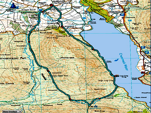
" To Wet and Windy to Climb - Mellbreak " Date & start time: 2nd February 2022. 2 pm start. Location of Start : By the red phone box, Loweswater, Cumbria, Uk. ( NY 143 211). Places visited : Mosedale, Scale Force, Low Ling Crag and home via High Park. Walk details : 6.25 miles, 1000 ft of ascent, 3 hours 15 mins. Highest point : The high ground behind Mellbreak. 968 ft - 298m. Walked with : Stephen (Giles), Loes and the dogs, Dylan and Dougal. Weather : Low cloud and breezy, rain in the air at times.
|
© Crown copyright. All rights reserved. Licence number PU 100034184. |
|
To climb or not to climb ... that was the question. Stephen wanted to re-start his hobby on his first holiday in the Lakes for many years, so I offered to climb Mellbreak with him. However the weather had other ideas and Mellbreak could not even be seen, so we opted for a low level circuit of the fell instead. What can be an easy walk on a nice summer day was a lot harder than we imagined due to the poor conditions today.
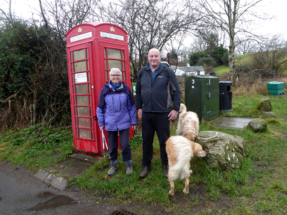
Loes and Steve at the start of the walk . . . by the red phone box. [ Perhaps I should have stood Loes on the slightly higher ground to the right ! ] Stephen and his wife Fran are staying in Rose Cottage, seen in the background.
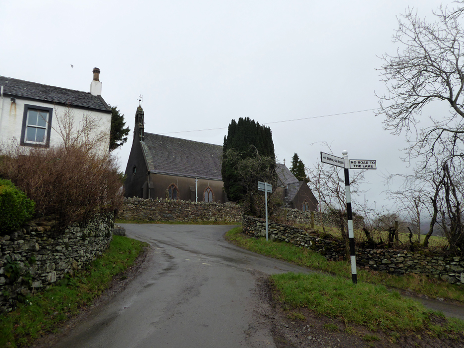
Wainwright's Negative Signpost directed us along the 'no through road' towards Kirkgate Farm.
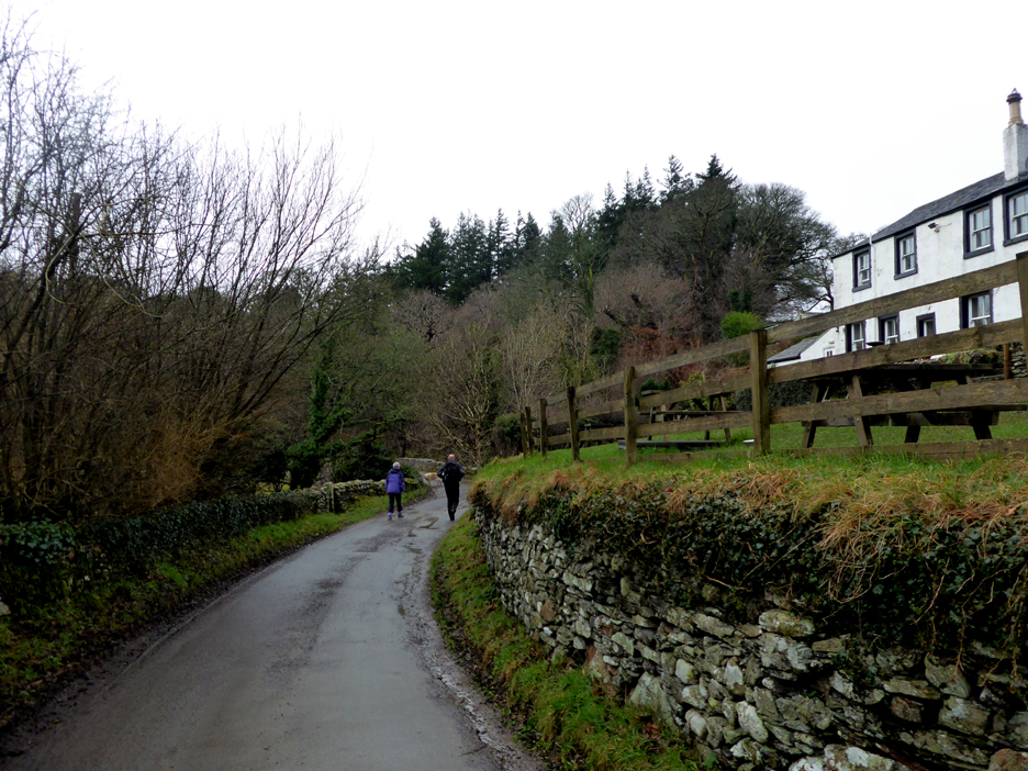
The road passed below the (empty) beer garden of the Kirkstile Inn.
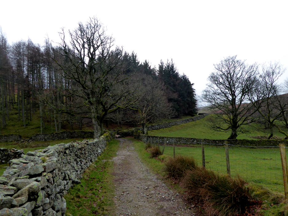
The road beyond the farm continues as an un-surfaced track, becoming the bridleway to Ennerdale via Floutern Pass. We will follow it along Mosedale but branch off left at the head of the valley.
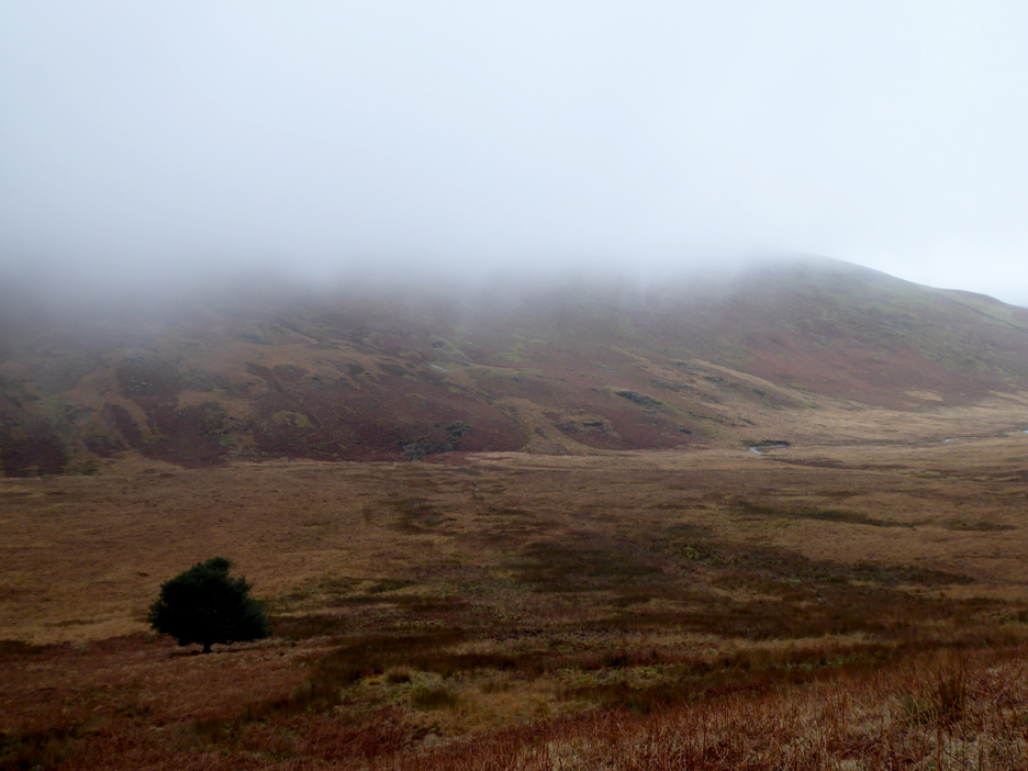
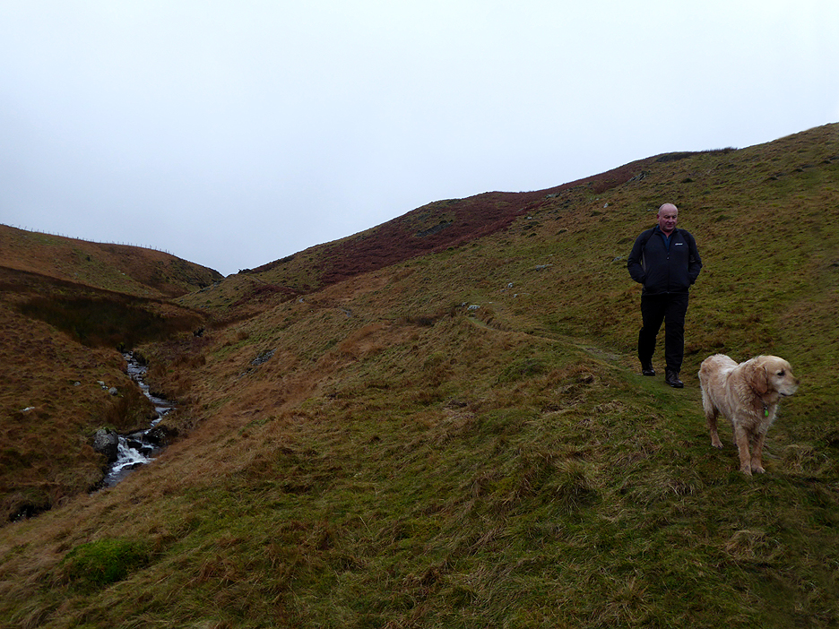
The lower slopes of Mellbreak to the left and those of Hen Comb to the right. The upper reaches of both fells we obscured from view . . . but at least it's not raining !
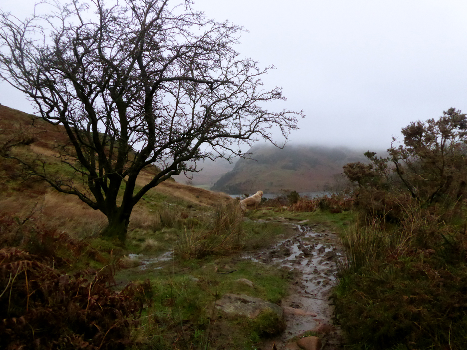
Passing a landmark . . . the Mosedale Holly. We've left the main track, which at this point has already crossed the valley and can be found on the other side near the river.
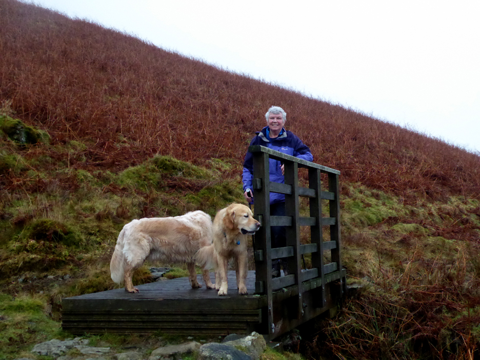
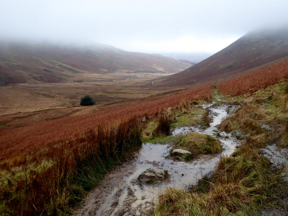
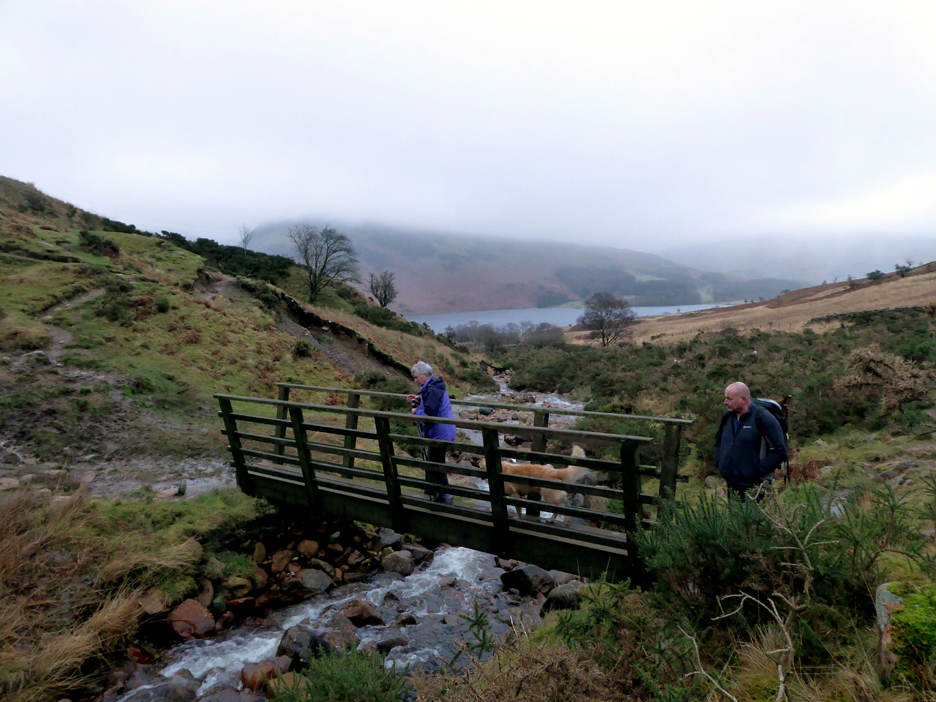
Our path climbs gradually up the side of the fell, this bridge making one stream crossing easier.
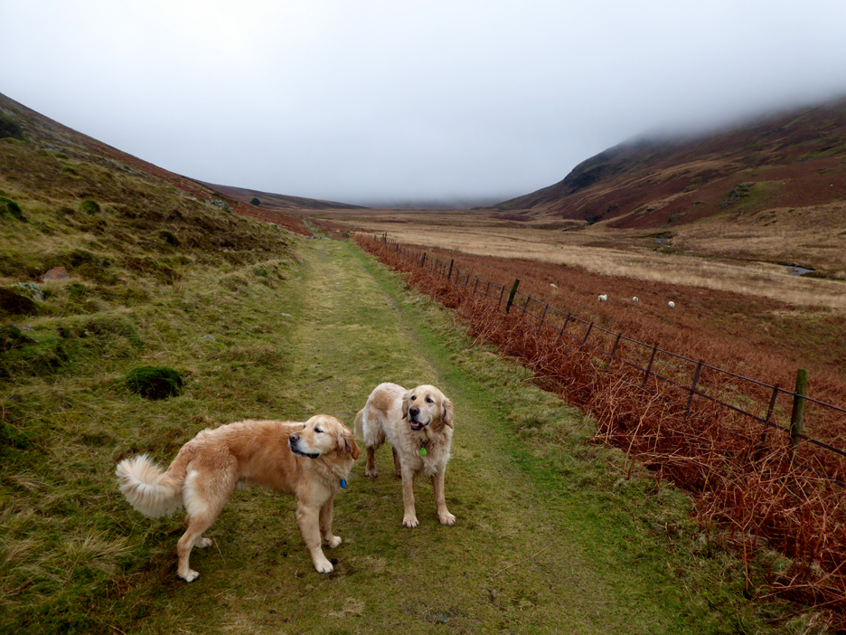
Occasionally the streams ran along the path which meant they were more difficult to avoid. The walking was slow in these wet conditions.
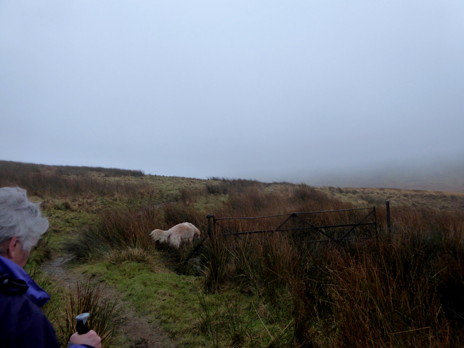
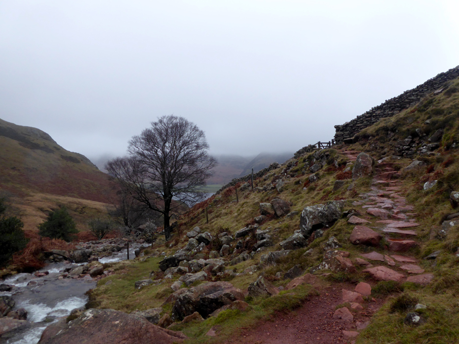
The old gate is more or less the highest part of the path, on the walk over to Scale Force. The gate survives but the fence has long ago disappeared. We are just about in the cloud.
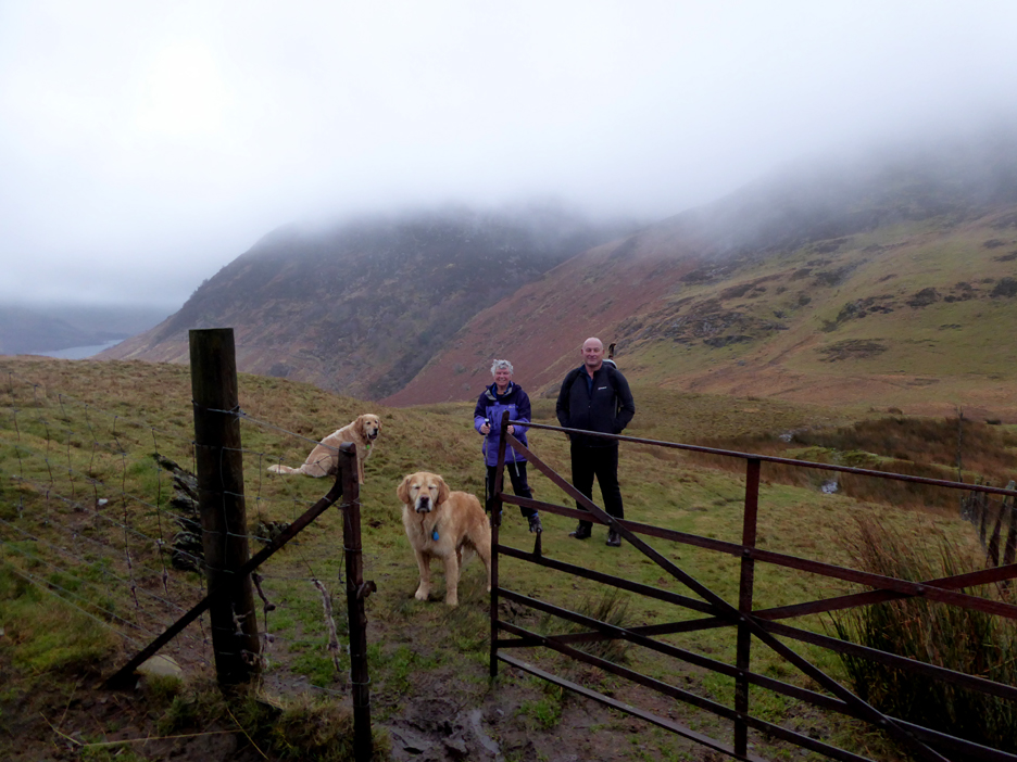
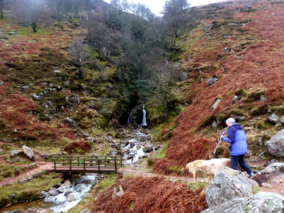
A second iron gate over the brow is still functional so we don't need to cross any stiles on our descent. Scale Force, our next objective, is hidden in the wooded cleft behind Loes and Stephen.
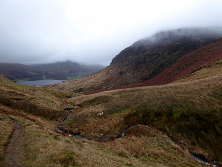
At this point we've join the Buttermere to Ennerdale bridleway and are heading down in the direction of Crummock Water.
There is a path straight down from the gate which crosses higher the beck, but the climb up the other side would be slippery today. This way the path is more graded and less eroded. The stream goes by the dark name of Black Beck, reason unknown, but the wet rock certainly looks dark compared to the red iron stone that appears on parts of the adjacent Scales Beck.
Loes reaches the footbridge over Scales Beck. You can see the red coloured stone and muddy path in this part of the valley, which may confirm the origins of the different names.
From the bridge, the classic view of the direct path to Buttermere, which heads off through the gate. There's an old iron mine just above the path so the colour is quite intense.
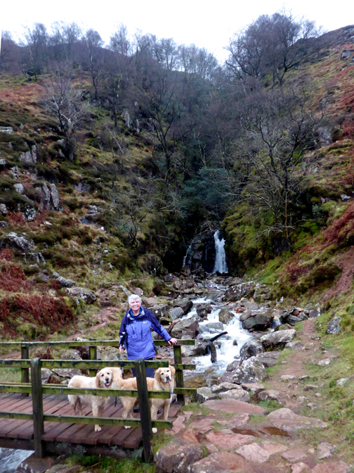
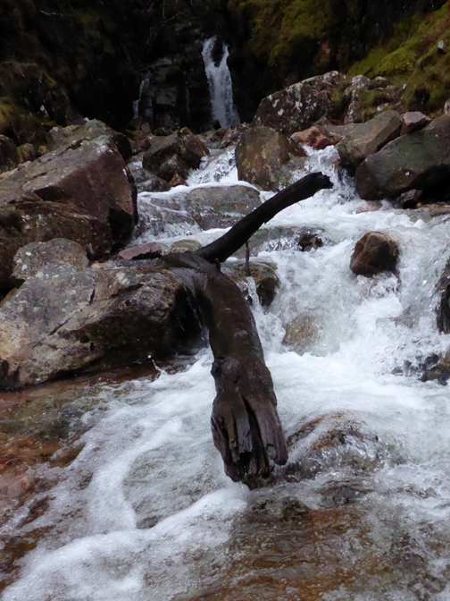
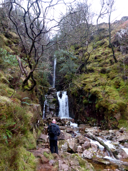
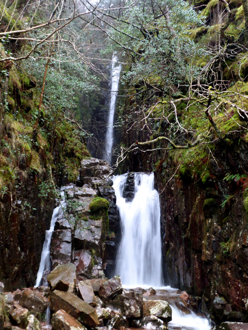
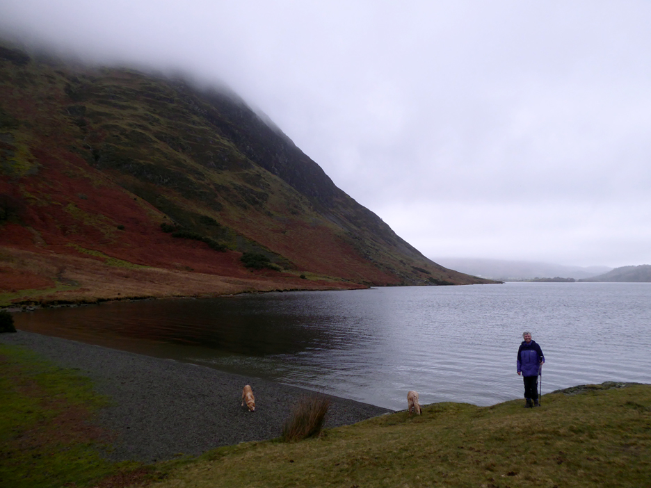
The falls have the highest single drop of any of the Lake District waterfalls, but climbing further up today would be very tricky.
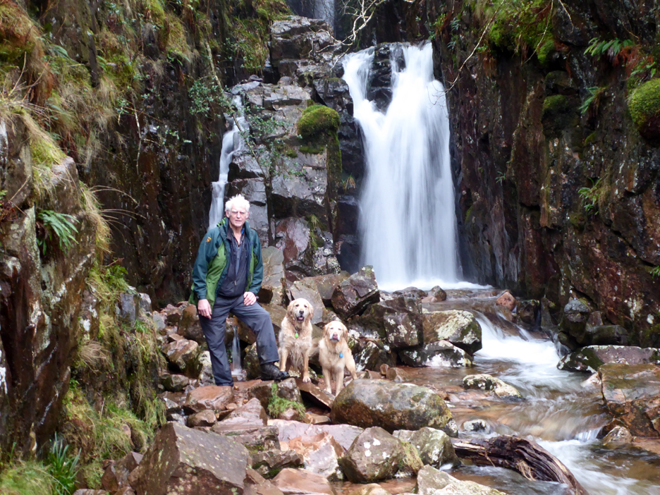
Stephen takes the camera for this photo of myself and the dogs.
A quick snack and we are on our way again, back over Black Beck, just before it joins with Scales.
Even though we've been luck with having no actual rain on the walk, the path is still very wet in places. Sometimes it is mud like this, sometimes it is wet and slippery rocks and boulders . . . not an easy or relaxing walk today
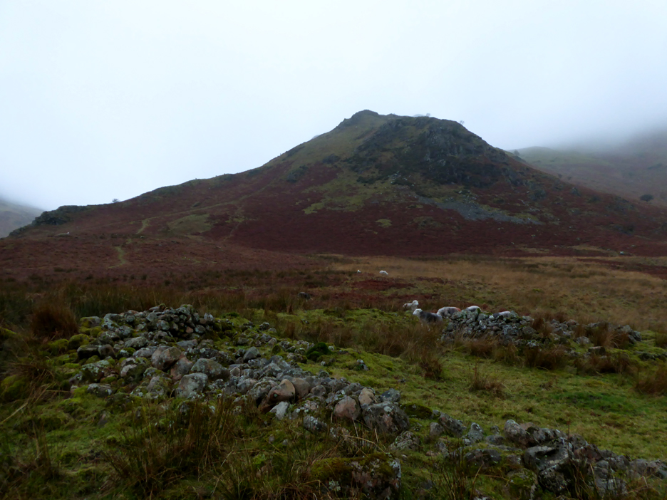
Scale Knott seen above one of the old hut enclosures that feature in this part of the valley. There are quite a few enclosure and outlines of 'black houses' that existed here in the middle ages (14-1500 AD).
The one round enclosure that does stand tall is a much more modern sheepfold. [ It presumably may have been made from stone robbed from the old houses.]
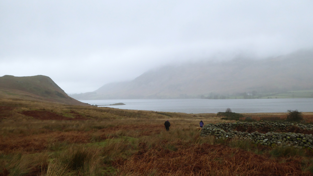
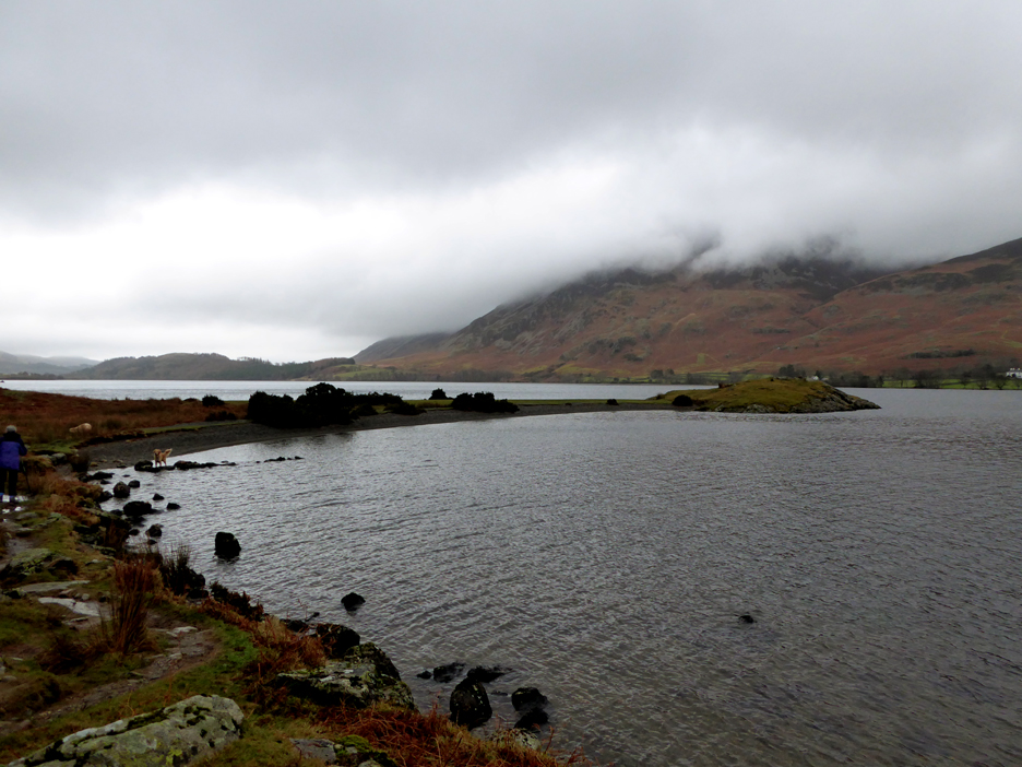
The weather looked a bit better down at lake level as we approach Low Ling Crag.
Stephen had the opportunity to stand on the outer end for the first time and look up the lake towards Wood House.
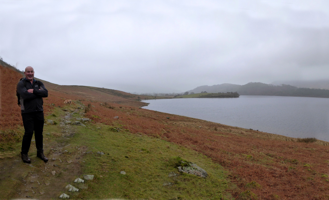
My photo of Loes is looking the other way, down Crummock Water, towards the cloud topped Low Fell at the northern end.
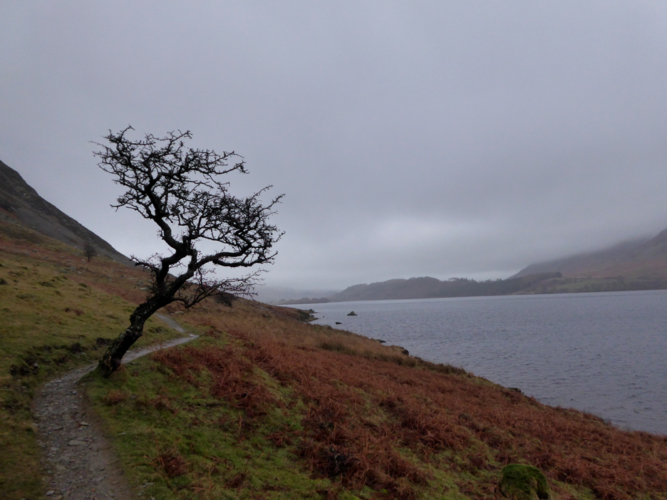
One of the old Hawthorn trees that can be found close to the path, as we walk alongside the lake.
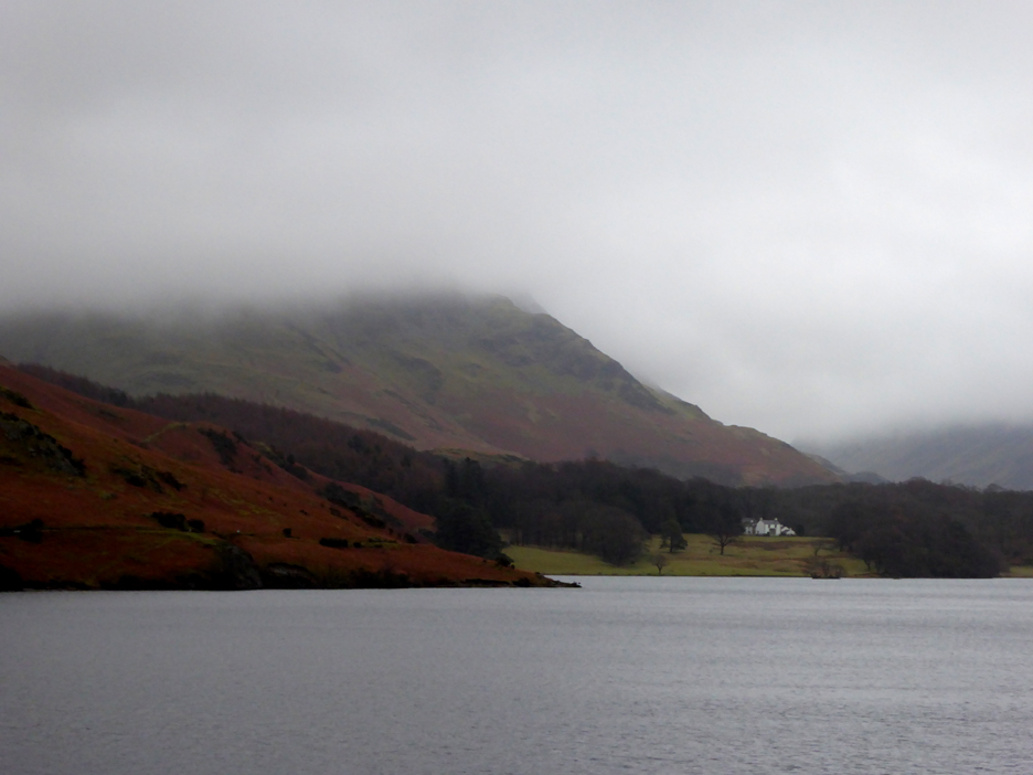
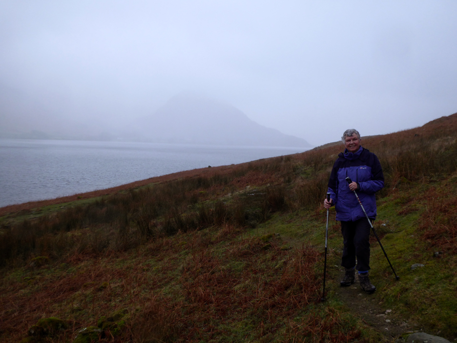
A smile on Stephen's face as Loes talked of the improving weather.
. . . but then she can't see the rain driving down the lake behind her ! We did get slightly damp . . . but the memorable feature of the walk was how the recent rains had made the path so difficult. It was with tired legs that we returned to the cottage . . . and changed to get ready for a meal in the pub, booked for an hour's time. :o) - - - o o o - - - |
Technical note: Pictures taken with my Panasonic TZ60 Camera.
Resized in Photoshop, and built up on a Dreamweaver web builder.
This site best viewed with . . . a table for four, joined as we were by Stephen's wife, Fran.
Go to Home Page . . . © RmH . . . Email me here
Previous walk - 27th January - Blake Fell from Felldyke
A previous time up here - 23rd January 2021- A Wainwright First for Martin
Next walk - 6th February - Stormy St Bees