|
|
|
 |
Remember: Press F11 for a
full screen view of this page. |
Web Counter when published 1
961 920 |
|
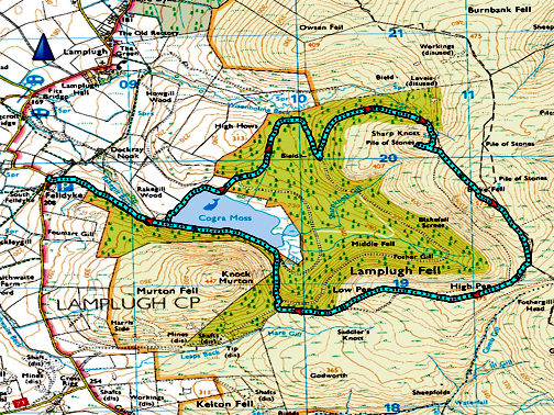
" Blake Fell from Felldyke, with Loes " Date & start time: 27th January 2022. 2pm start. Location of Start : The car park at Felldyke, Lamplugh, Cumbria, Uk. ( NY 085 198 ). Places visited : Cogra Moss, Sharp Knott, Blake Fell, High then Low Pike, back via Cogra. Walk details : 5.5 miles, 1500 ft of ascent, 2 hours 50 mins. Highest point : Blake Fell, 1,878ft - 573m. Walked with : Myself, Loes and the dogs, Dylan and Dougal. Weather : A nice day, apart from the 5 minutes we were on the summit !
|
© Crown copyright. All rights reserved. Licence number PU 100034184. |
|
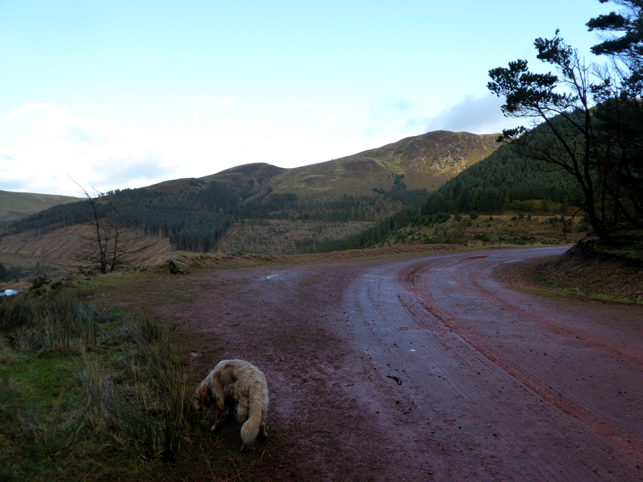
We drive round to the western side of the Loweswater fells to enjoy an afternoon walk up Blake. An early lunch should give us sufficient hours of sunshine for the walk as the sunset is noticeably later now, despite only being a month past the equinox. We park at Felldyke and head up towards Cogra Moss at the start of our walk.
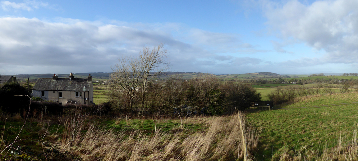
The houses at Felldyke and the car park which is hidden in the trees. Beautiful sunshine is in prospect for the walk.
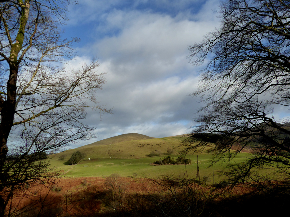
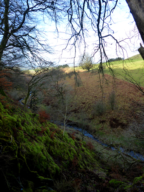
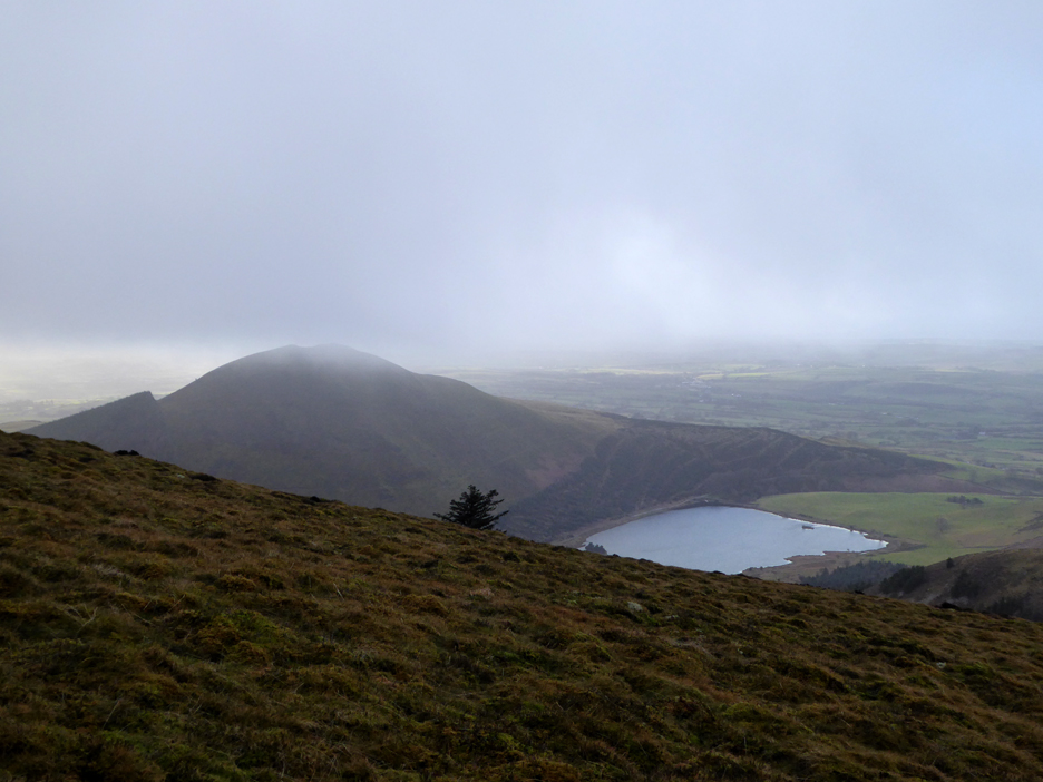
Owsen Fell seen through the trees as we approach Cogra Moss.
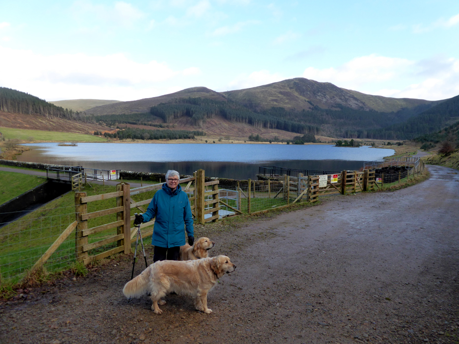
My walking companions today, Loes Dougal and Dylan. We pause for a photo and a final decision as to the route, shall we go clockwise or anti-clockwise from here ?
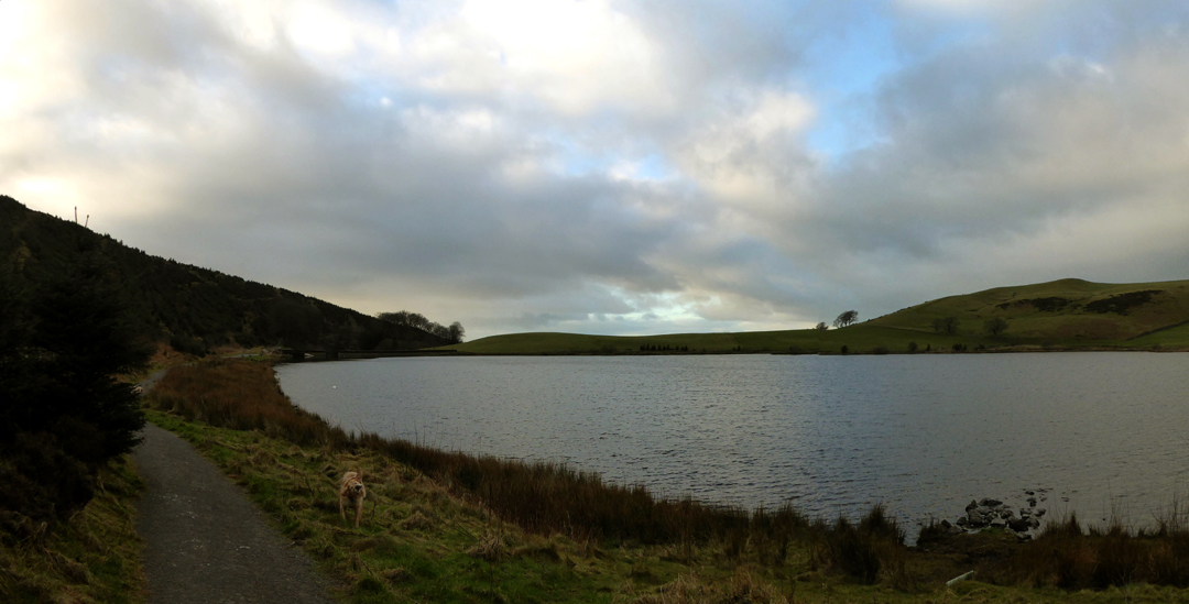
We go left over the dam onto the newly upgraded path alongside the lake . . . we must be going clockwise !
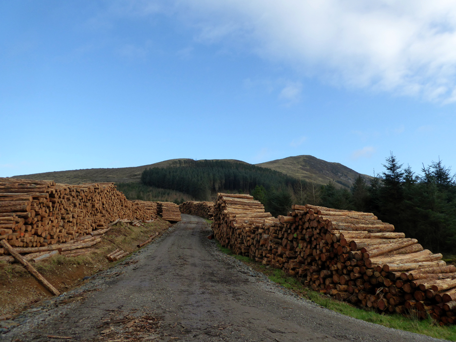
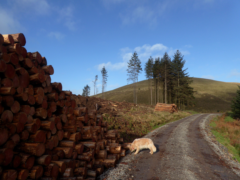
They've been cutting trees for some time now and the timber is stacked either side of the forest road. The new forest track they built to extract the timber lower down by the lake is looking worse for wear already.
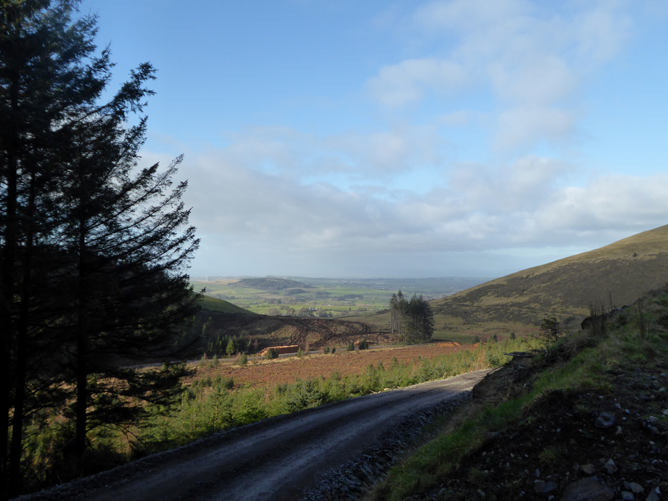
Up here the track is good and the track takes us upward in approximately the right direction.
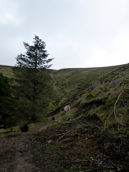
Previously cut forest areas and copious old tree stumps prevent a straight ascent, so we follow the forest tracks and zig-zag our way up the fell side.
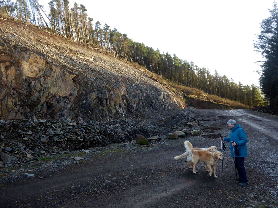
One of the sad things about creating the new track lower down by the lake is that the forestry guys have gouged out a large quarry half way up Blake, on the next bend of the track. The 'planning permission' aspect of this work must be non-existant and though it will mellow, this scar will be here for ever.
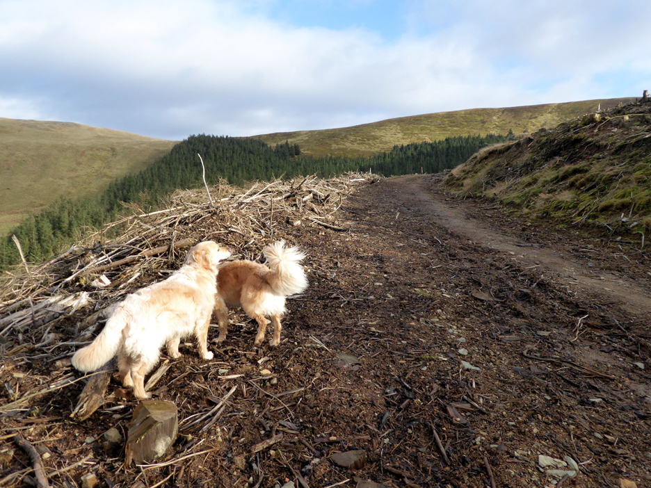
We turn and head north and east around the western spur of Blake. Cut forestry leaves such a mess and considering the bio-mass aspect of the modern trade it seems strange they don't take all the timber they cut ?
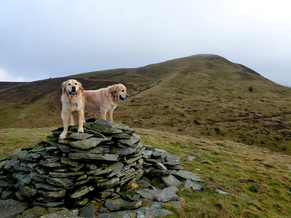
A slight diversion to Sharp Knott, which has a sizeable cairn and two dogs standing on it.
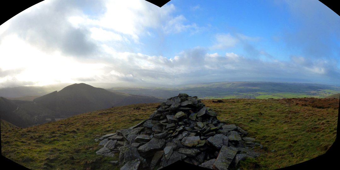
Looking west from the cairn through the binoculars. [ not really . . . it was a fluke of stitching two copies together in Microsoft Ice.]
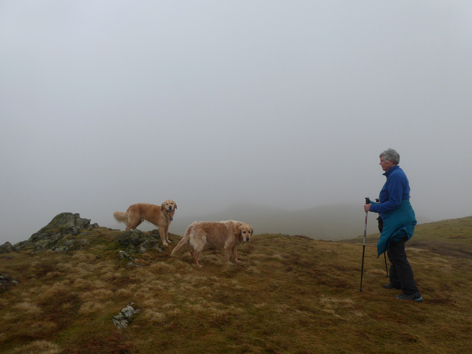
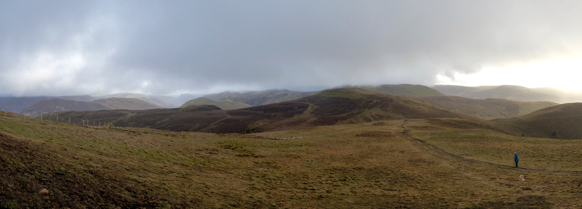
Nearing the summit and for some inexplicable reason there's a cloud heading our way !
Consequently the view from the top was non-existant . . . apart form the pleasant foreground of course.
No view of the High Stile Ridge either as we head east from the top, looking for the fence line which would appear shortly. It was a bit breezy up here but not wet or cold, which was a bonus I suppose.
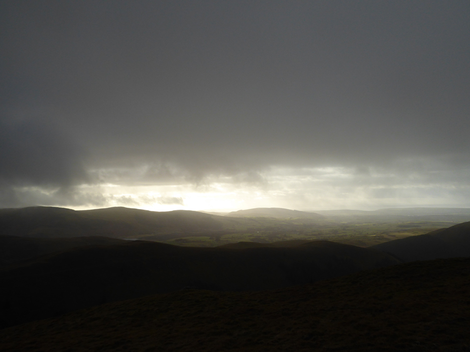
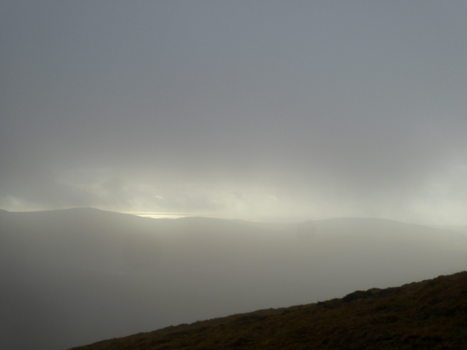
Emerging from the cloud and we start to get those western views back again.
Sunshine on the Irish Sea . . . not on us !
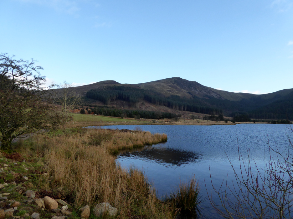
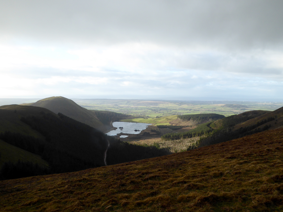
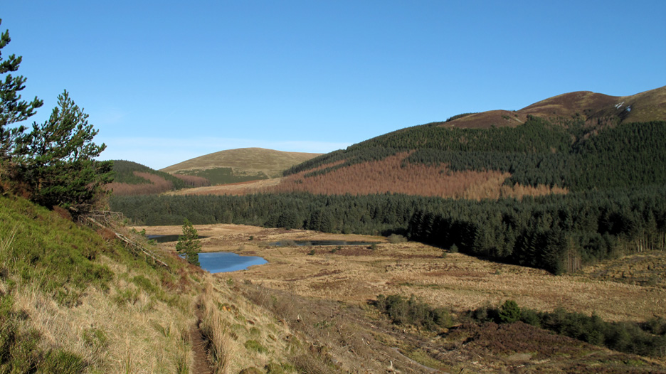
As we reach lower ground the panoramic views return. Gavel Fell is the adjacent heather covered fell and the outline of Fleetwith Pike is far away left of centre.
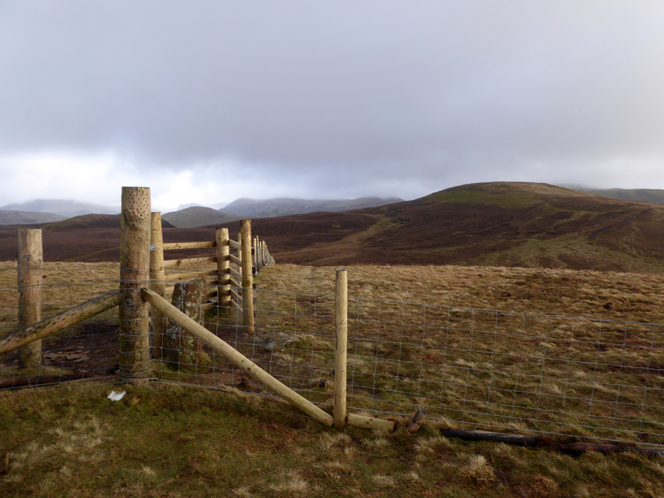
The red sandstone boundary stone is even more intertwines in the new fencing. At lease at this junction of fences there are stiles to enable you to cross if you are heading for Gavel.
We'll pass on that summit and continue round the circuit, heading down for High Pen.
The summit of Blake is perfectly clear now . . . cloud ? . . . what cloud ?
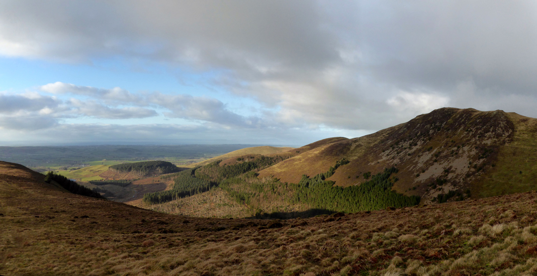
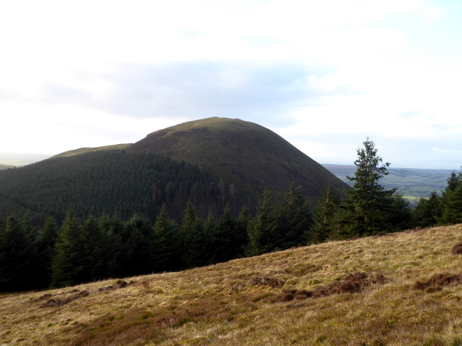
The rounded shape of Knock Murton ahead and we are back down to the edge of the forest. The path however stays clear of the trees and it is simple walking all the way down from Low Pen . . .
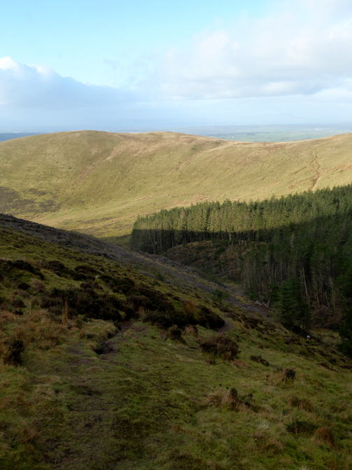
. . . to the red forest track once again. This will be the eventual route out for the logs once they have finished clearing the trees they are currently cutting.
The forestry guys have cleared the bottom of the valley of green sitka and have also removed all the larch trees.
This was the scene back in 2010, note the different colours, which also explains the ragged cutting line of the recent felling. [ The full set of the 2010 walk pictures are linked at the end of the page.]
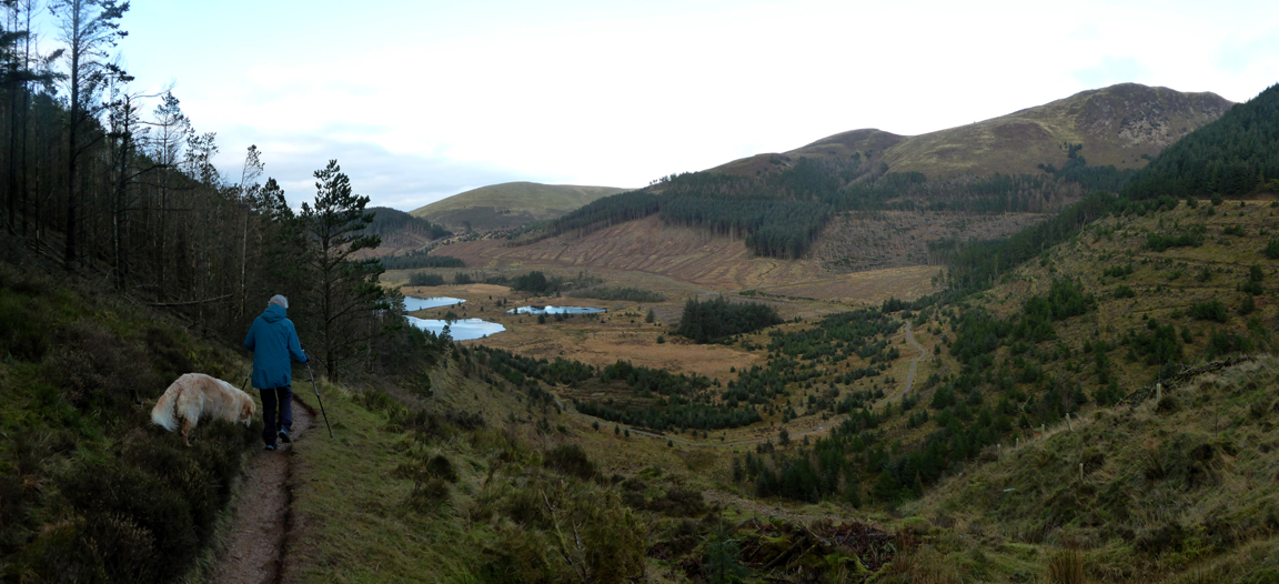
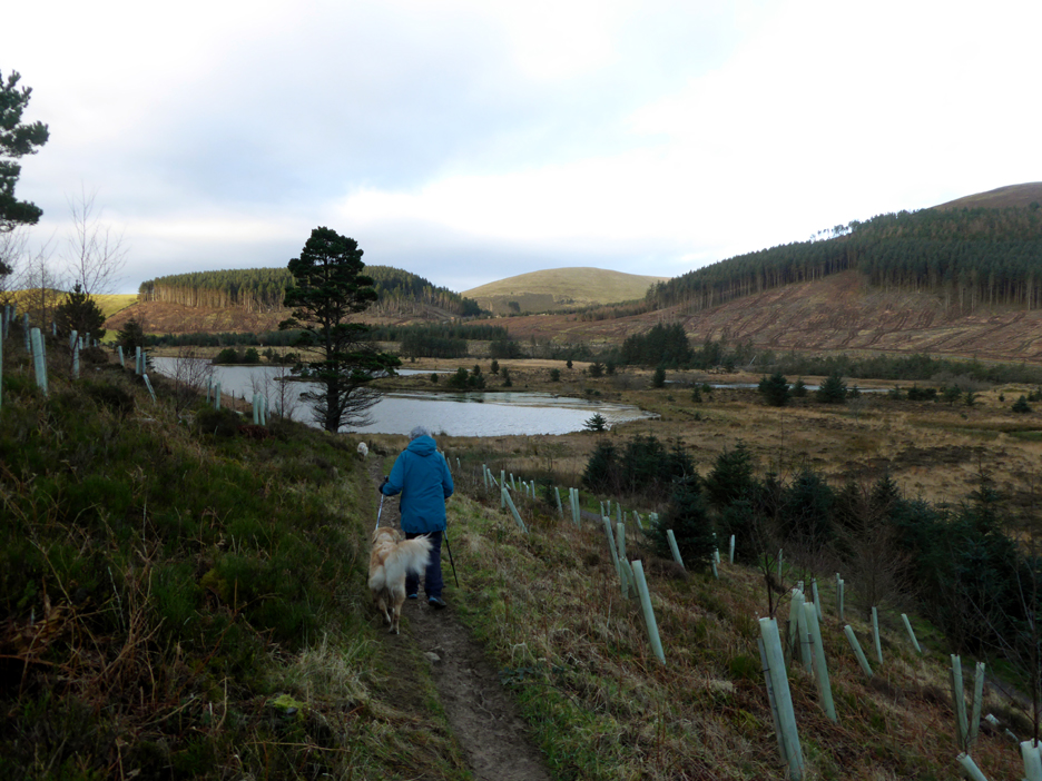
Loes leads the way back down to Cogra Moss. The plastic tubes by the side of the path are protecting young replacement saplings that have been planted in recent years.
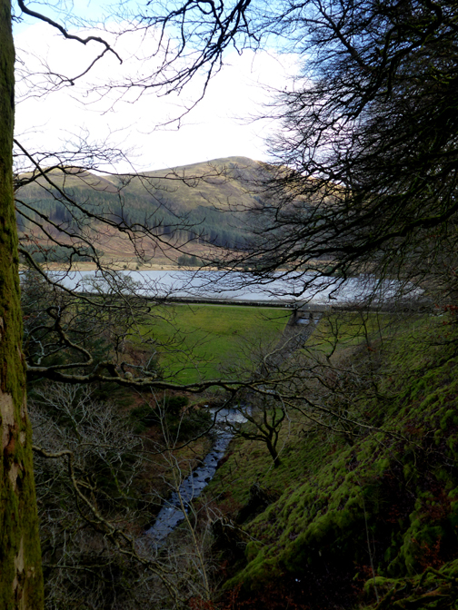
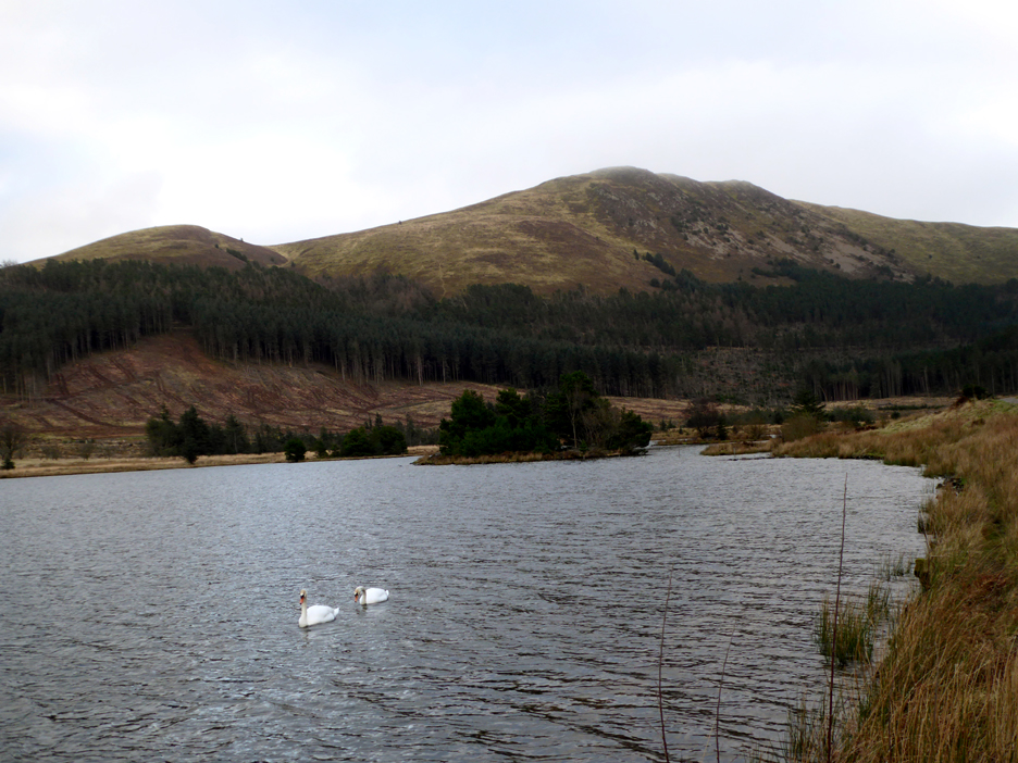
Two swans on the lake as we look across at our recent summit walk . . . could that be another low cloud hitting the summit ?
The cloud sheds a bit of a shadow on the lake as we walk back to the dam. We've nearly complete the circular part of the walk.
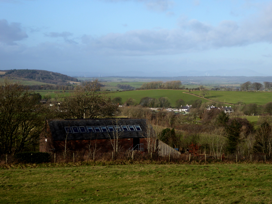
A short walk along the water board track and we arrive back at Felldyke. The sun makes an appearance once again lighting up Felldyke Bunkhouse and the new houses being built in Lamplugh. - - - o o o - - - |

Technical note: Pictures taken with my Panasonic TZ60 Camera.
Resized in Photoshop, and built up on a Dreamweaver web builder.
This site best viewed with . . . or should I say without . . . that brief cloud covering the summit just as we got there !
Go to Home Page . . . © RmH . . . Email me here
Previous walk - 23rd January - Irton Fell with Ian and Loes
A previous time up here - 6th February 2010 Blake Fell from Cogra Moss
Next walk - 2nd February - To Wet and Windy to Climb