|
|
|
 |
Remember: Press F11 for a
full screen view of this page. |
Web Counter when published 1
956 927 |
|
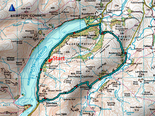
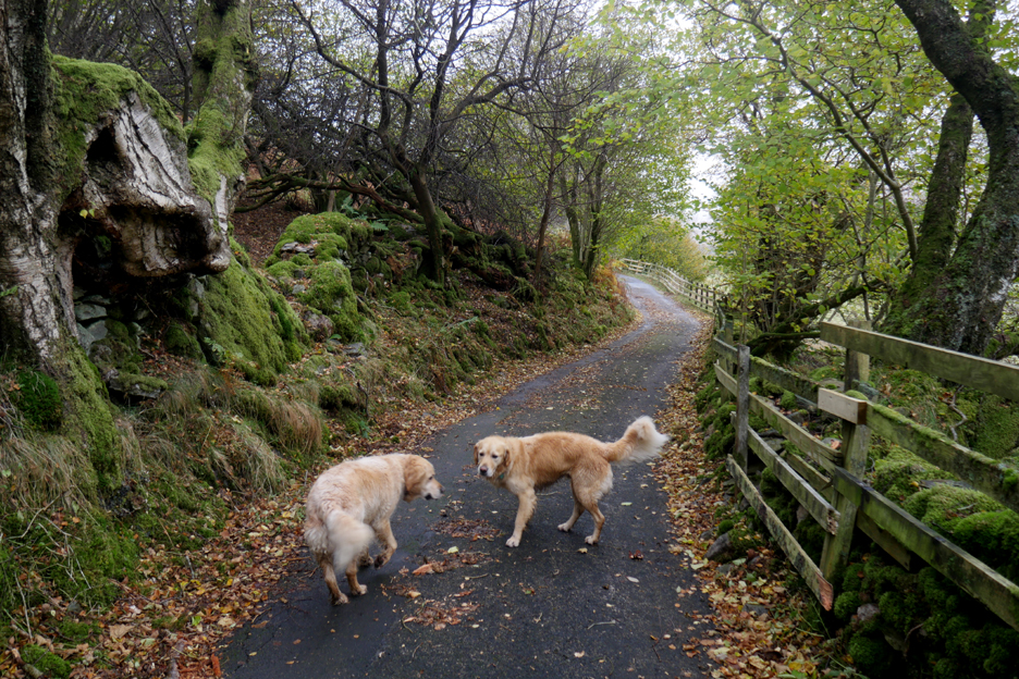
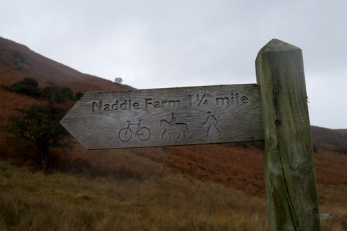
" Swindale with Angela and John " Date & start time: Monday 8th November 2021. pm start. Location of Start : Haweswater Hotel, Cumbria, Uk. ( NY 483 139) Places visited : Hotel, the Old Corpse Road, Swindale Head, Scalebarrow Knot, Naddle Farm. Walk details : 8.5 mls, 1650 ft of ascent, 5 hours 25 mins. Highest point : Corpse Road op Selside End, 1785 ft - 550m. Walked with : Angela and John and my dogs, Dylan and Dougal. Weather : Started well enough but mist and cloud was moving in from the west.
|
© Crown copyright. All rights reserved. Licence number PU 100034184. |
|
An invite to walk in the far eastern fells was offered by Angela and John who were staying at the Haweswater Hotel. The plan was a high level walk up Rough Crag Haweswater if fine, the old Corpse Road to Swindale if wet. On the day however, the weather tended to the latter and the option of seeing nothing and getting blown about in the rain was not an attractive one, so Swindale it was.
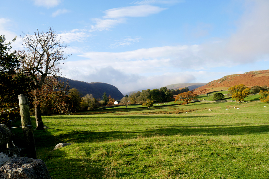
Fine weather at the foot of the valley as I drove across to meet up with Angela and John at Haweswater. The choice of routes at the head of the Mardale Valley was still open.
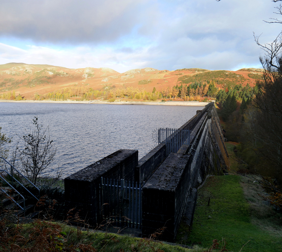
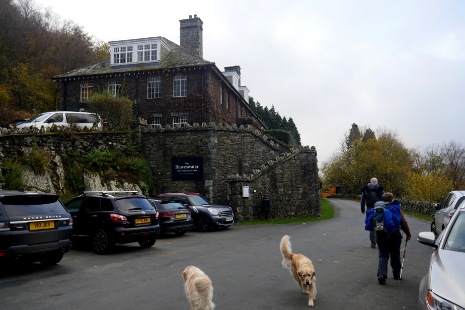
In the 1930's the valley was flooded to provide water for Manchester and the Midlands. The road to the hotel follows the southern side of the lake above water level, built to replace the flooded one in the bottom of the valley.
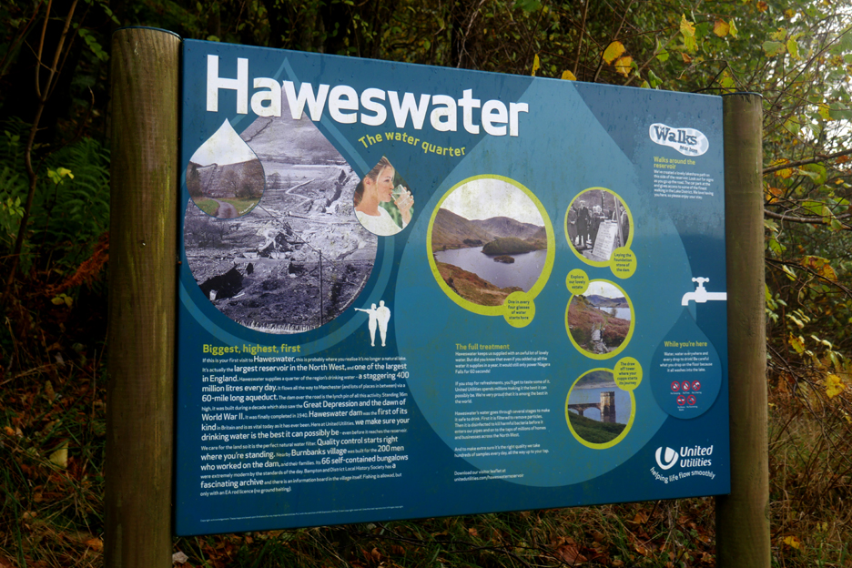
The signboard allows visitors to read the history and understand the topography of the area.
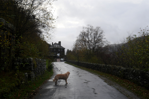
In early1933 the new Haweswater Hotel was opened. It was built in classic 1930's style, to replace the Dun Bull Inn at the head of the valley which was destined for demolition.
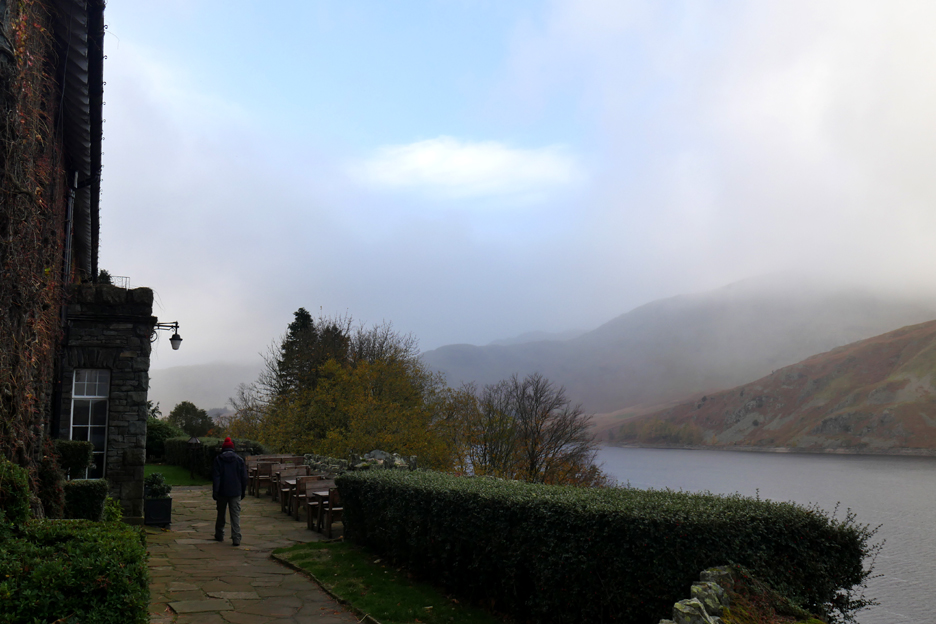
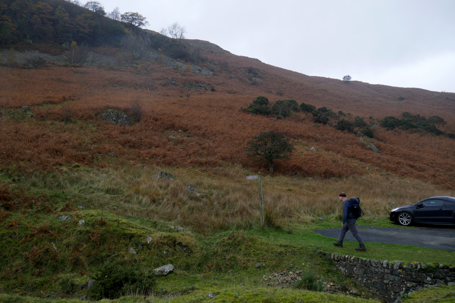
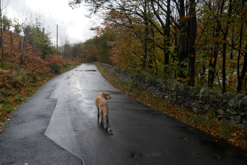
After meeting Angela and John as arranged, we set off on foot along the next section of the valley road. We headed towards the top of the valley, John pictured here leading the way.
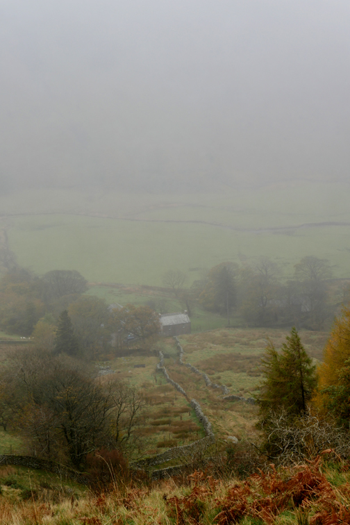
The weather seems to be closing in and not only were the high fells shrouded in mist and cloud, but the bad weather was spreading. It now reached to low levels and was getting thicker as we progressed up the road . . . the weather forecast was coming true !
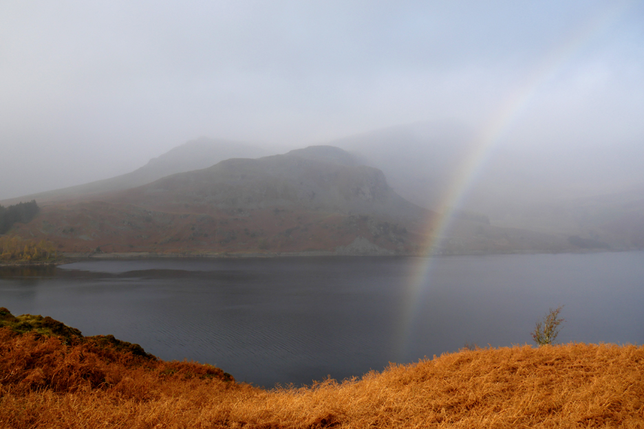
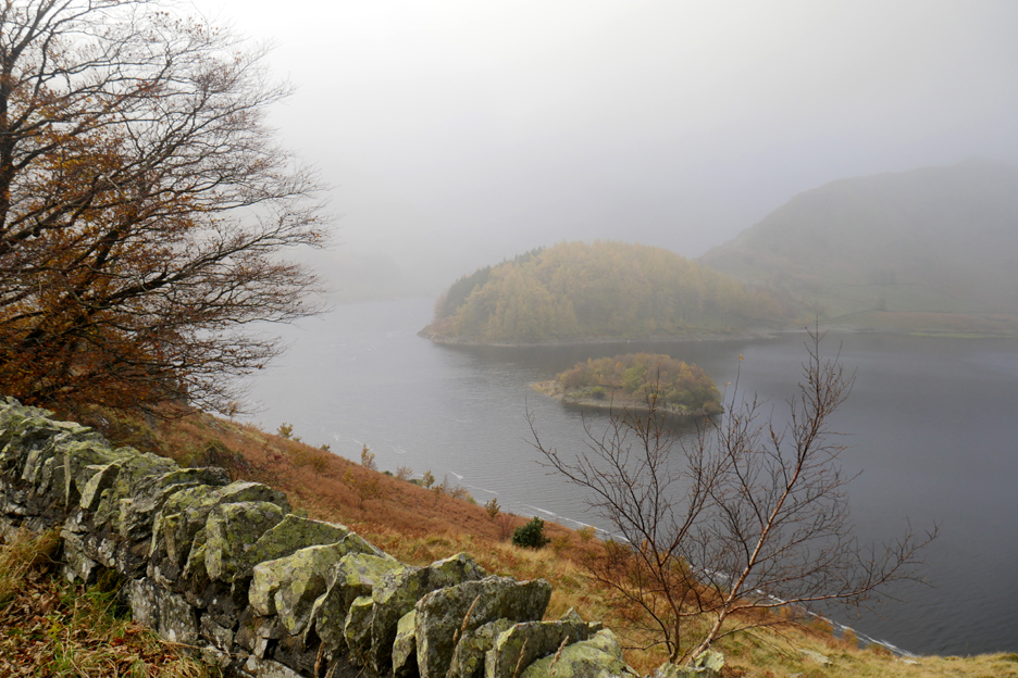
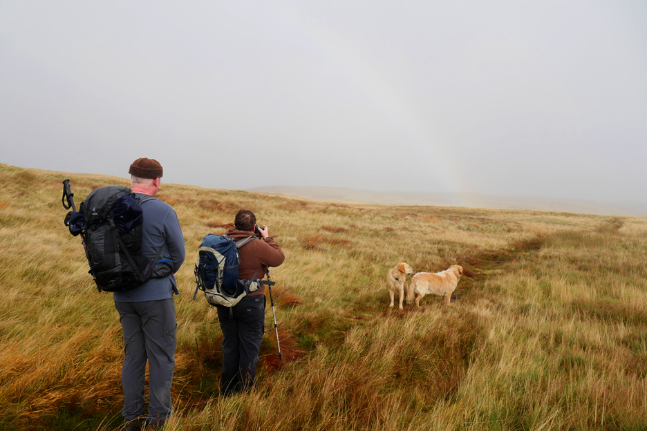
You know there's moisture in the air when rainbows form. A brief patch of sunshine formed a colourful arc between us and Castle Crag on the other side of the reservoir.
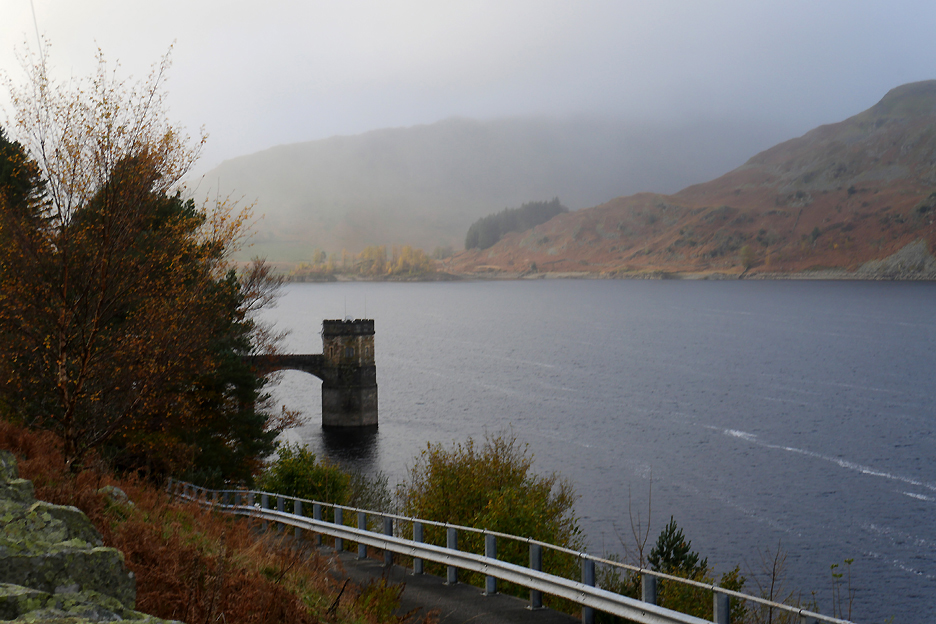
Wood Howe Island and the tree covered Rigg, once referred to as Chapel Hill, on the opposite side.
Our fall back route of Swindale was confirmed. We departed the modern road and join the old corpse road that set off left up the fellside in a series of zig-zags through the bracken. Until 1728 the small church in the Mardale Valley didn't have a graveyard and so the corpses of the dead we carried to Shap Abbey using this track.
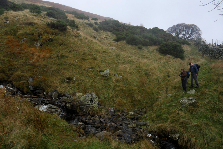
The track climbs up alongside the river which is fed by Hopegill Beck and the delightfully names Captain Whelter Beck, both of which drain the slopes of Selside and Branstree.
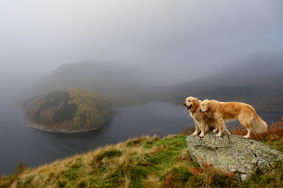
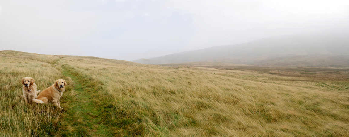
A brief patch of brightness highlights Dylan and Dougal as they stand high above the valley.
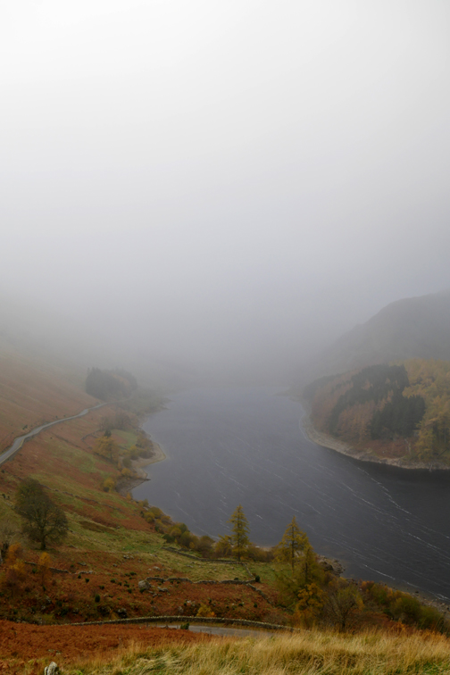
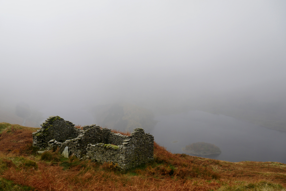
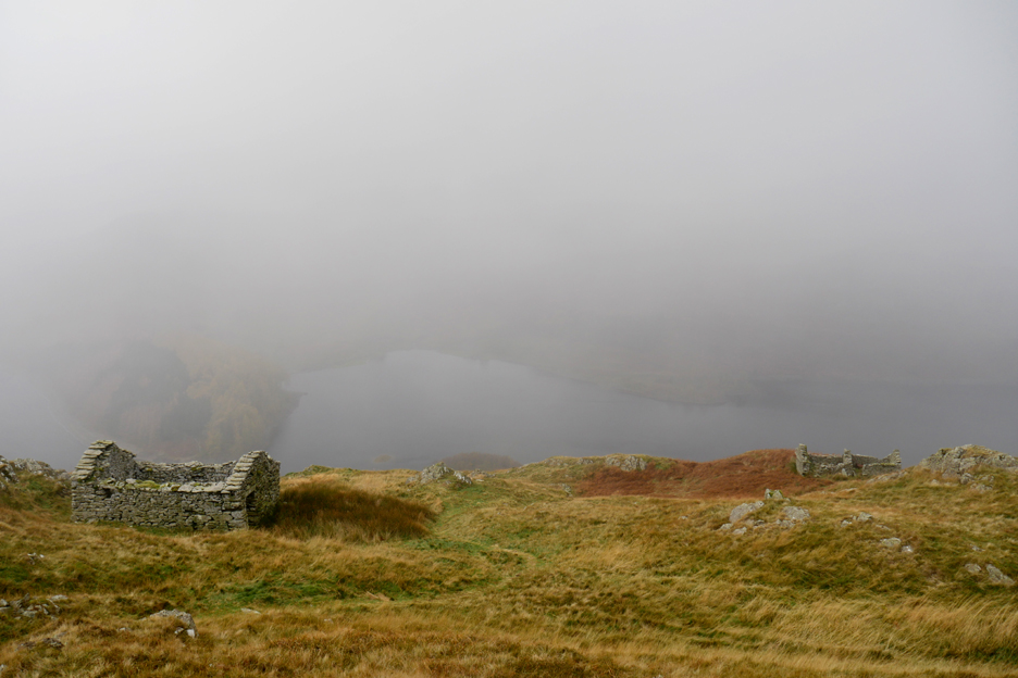
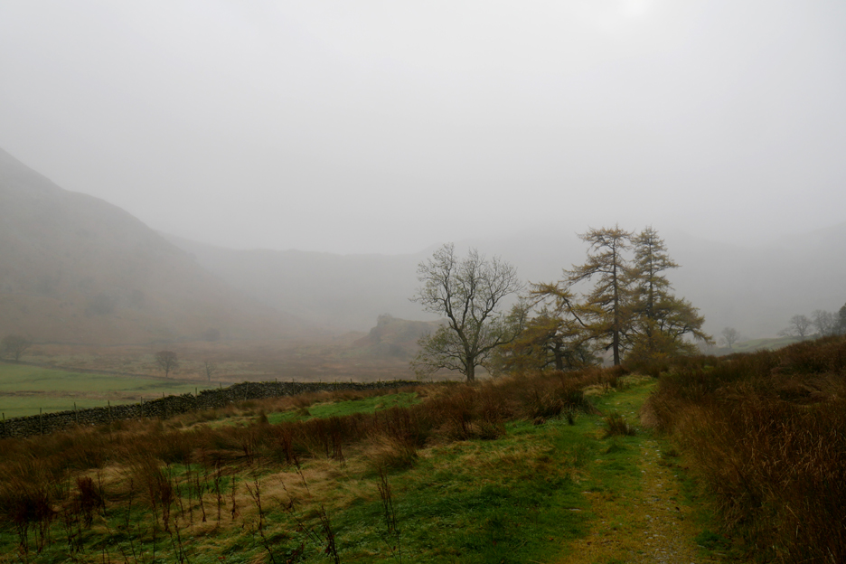
The view however was virtually gone by the time we reached the famous Peat Houses. We could barely see the top end of the lake, let alone the Nan Bield Pass and higher fells either side of it.
As we climbed the angle of the path began to ease. The purpose of peat houses here was to store and dry the peat turf, cut during the summer. By the time it was needed it would be drier, burn better and be lighter to carry down to the farm houses in the valley for the winter.
Climbing further there were more old buildings off to the side, but nature was fast reclaiming them and reducing them to little more than piles of stones.
Alan Cleaver / Lesley Park in their book "The Corpse Roads of Cumbria 2019" warns of difficult navigation across the top of the moors, but the path is good and the weather was clearing slightly so the suggested map and compass were not needed today.
Angela pauses to photograph another rainbow. We've crossed the highest pont of the fell and are now heading slightly down hill, following the ancient path towards Swindale.
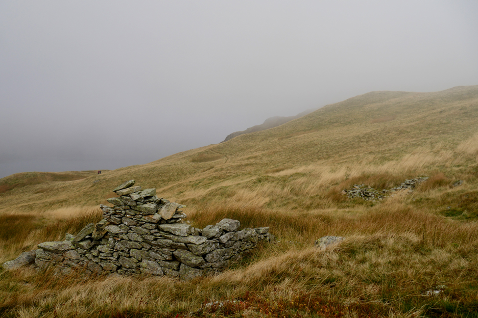
The old track was well marked by several large cairns. [ This one would be a little more obvious from a distance for a while as I had propped up the top stone to a more vertical angle.]
We passed on having a swing on the rope that was hanging from the tree.
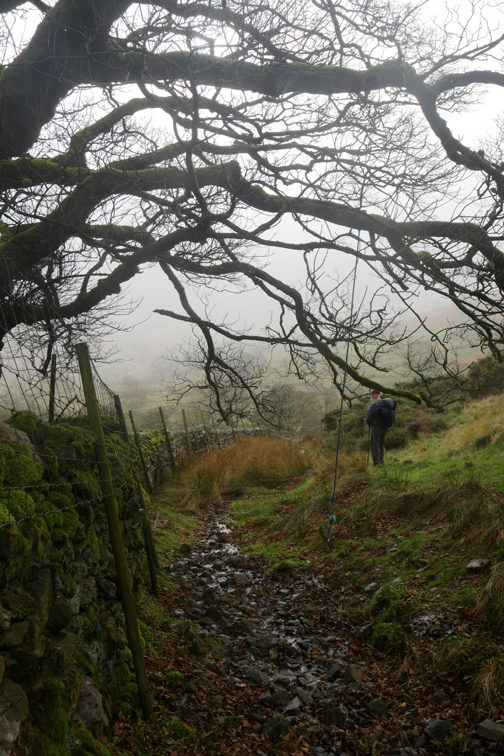
We made a couple of damp stream crossings on the way down . . .
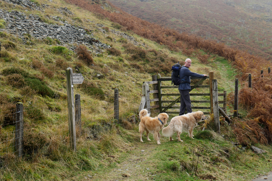
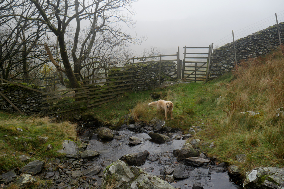
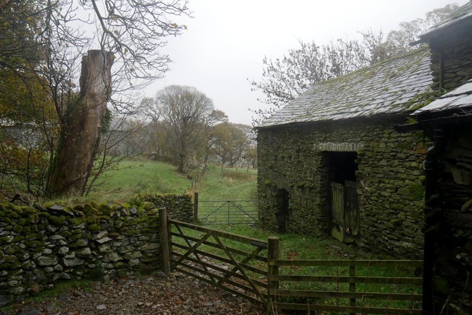
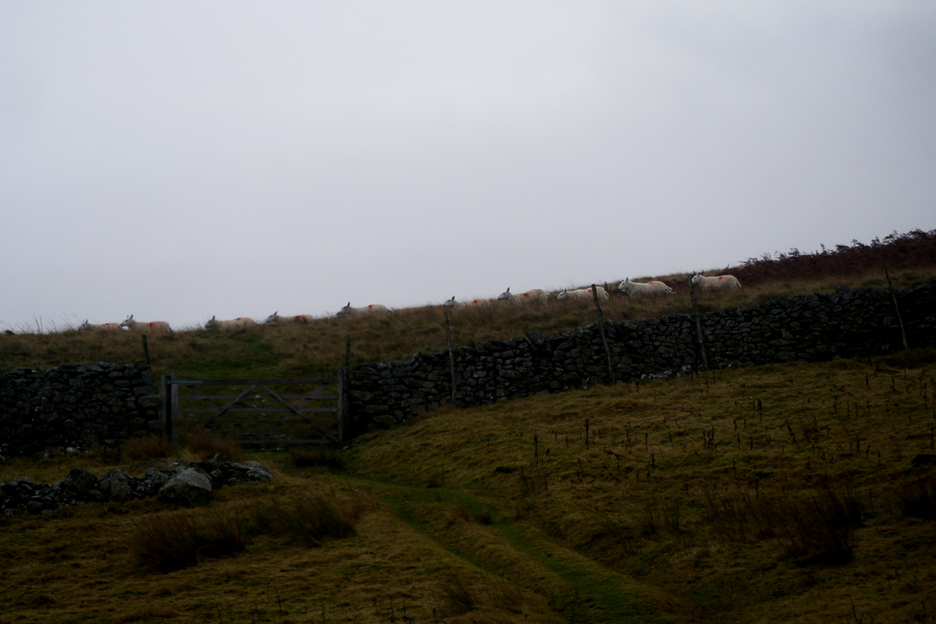
. . . before passing through the gate in the out-take wall.
Below it the converging stone walls forming a simple gathering system for animals collected from the open fell above.
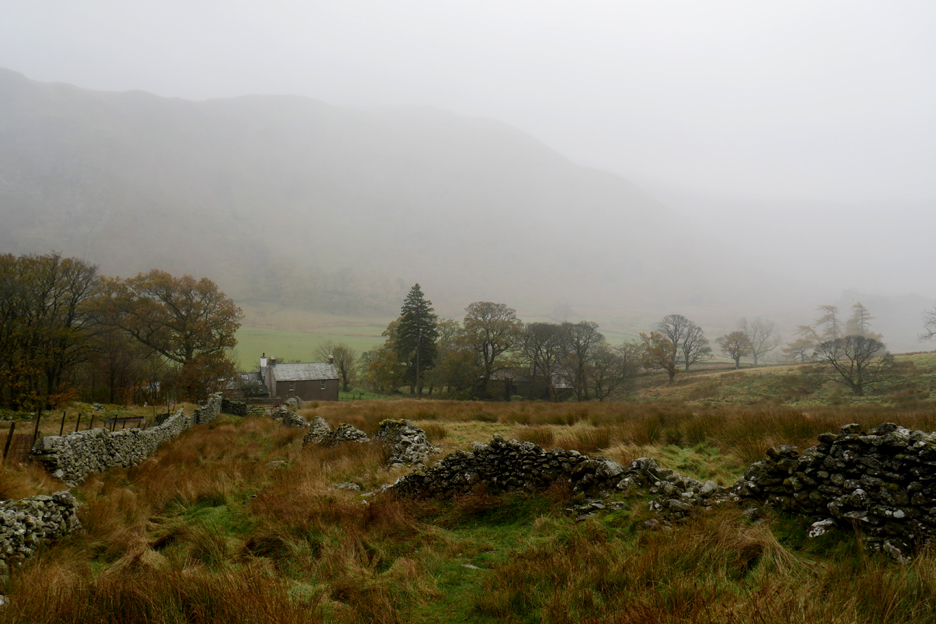
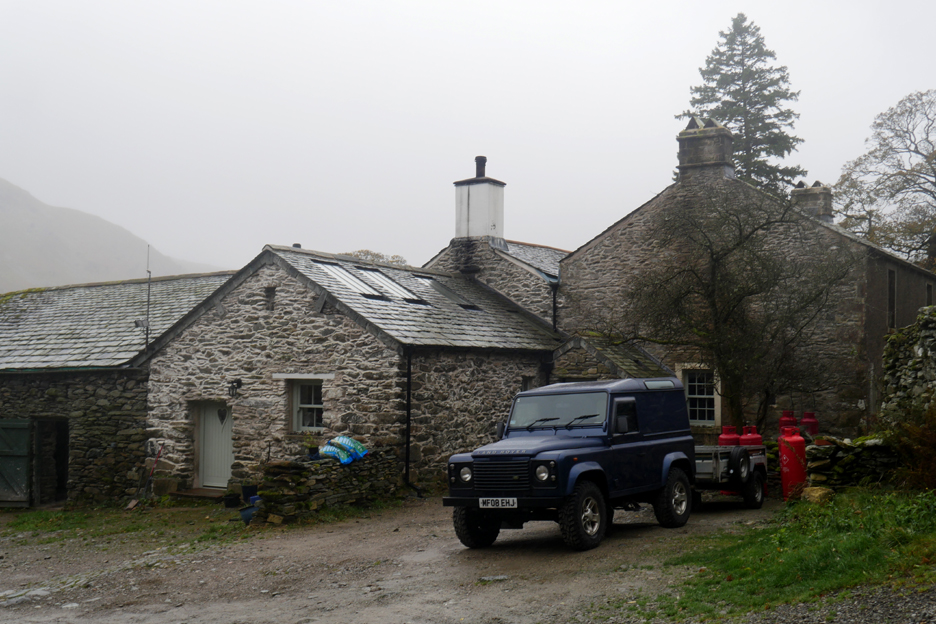
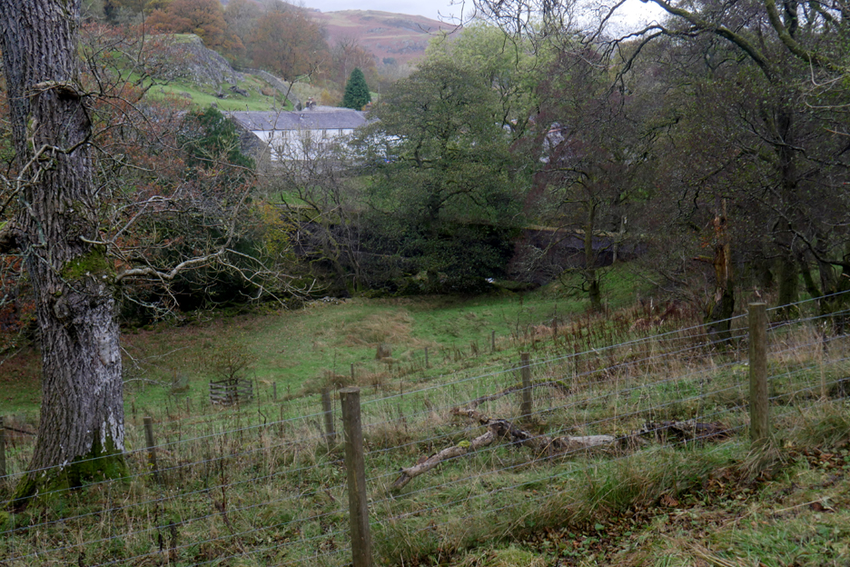
We reached valley level at Swindale Head Farm.
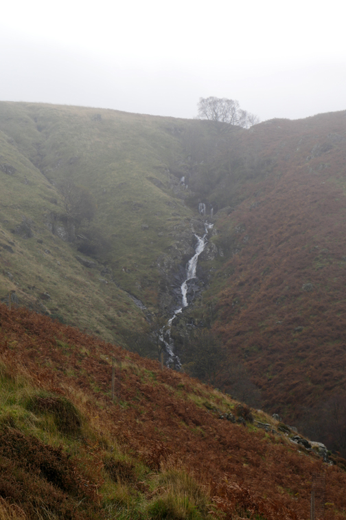
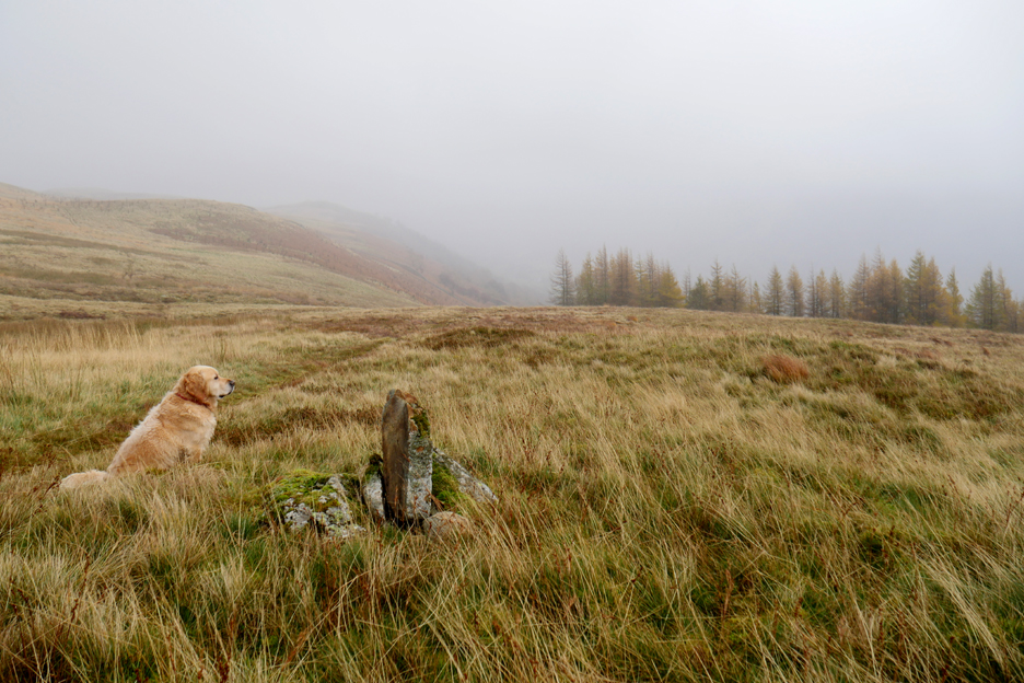
The tarmac road ends here at the farm, but the byway continues on across the open fields towards the head of the valley. There are delightful waterfalls at the head of Swindale and hanging valleys beyond, but the weather today just hid the detail. [ I have linked to a previous walk up to the falls and the views of the climb beyond, at the base of this page.]
After our brief diversion we retrace our steps to pass the farm once more. We were now to continue north east, along the valley on the normal tarmac road.
The route passes through a short section of delightful woodland, complete with suitable bird song accompaniment.
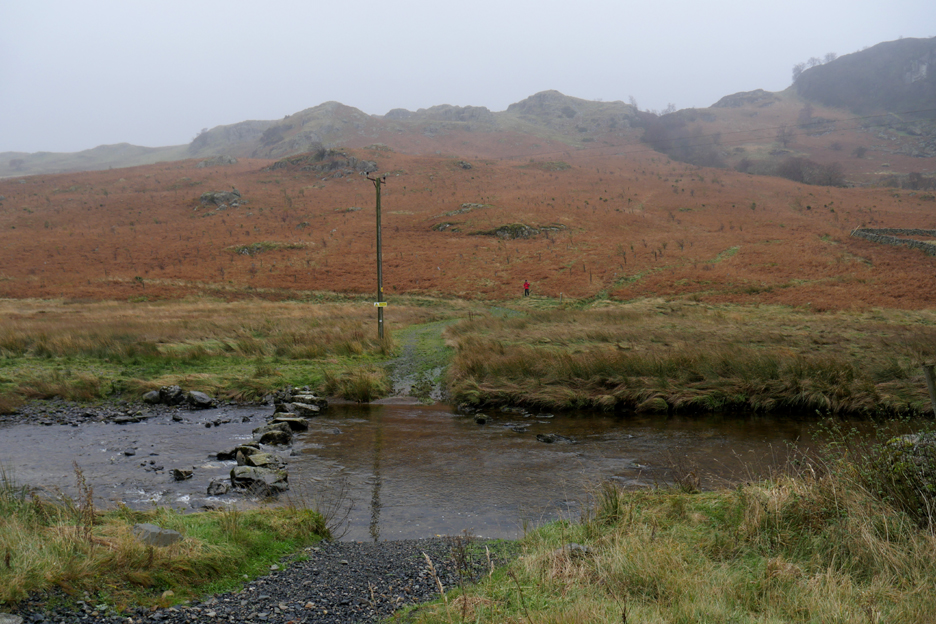
The coffin road continues on towards Shap and the old Abbey burial ground. It's exact route is unclear but probably crosses this old ford and then turns left via the path that the red coated walker has just reached.
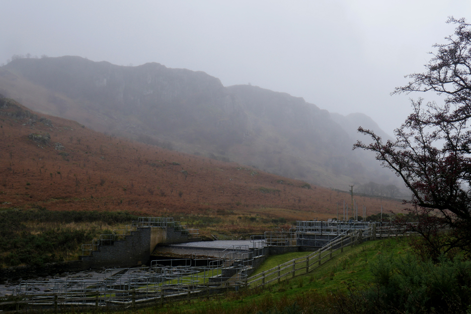
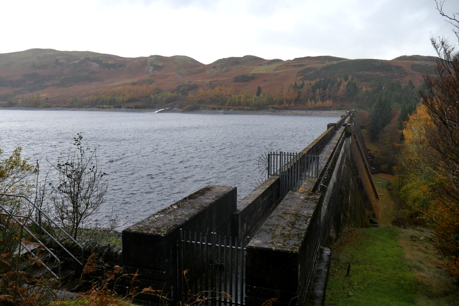
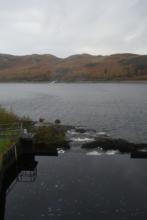
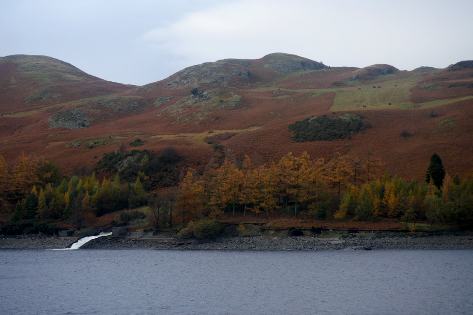
A little further down the valley there's a substantial weir and loads of health and safety railings. This is the start of an aqueduct to carry some of the Swindale water into Haweswater and so boost the potential Manchester supply. The railings protect daft and unobservant site visitors from falling into the fish ladder !
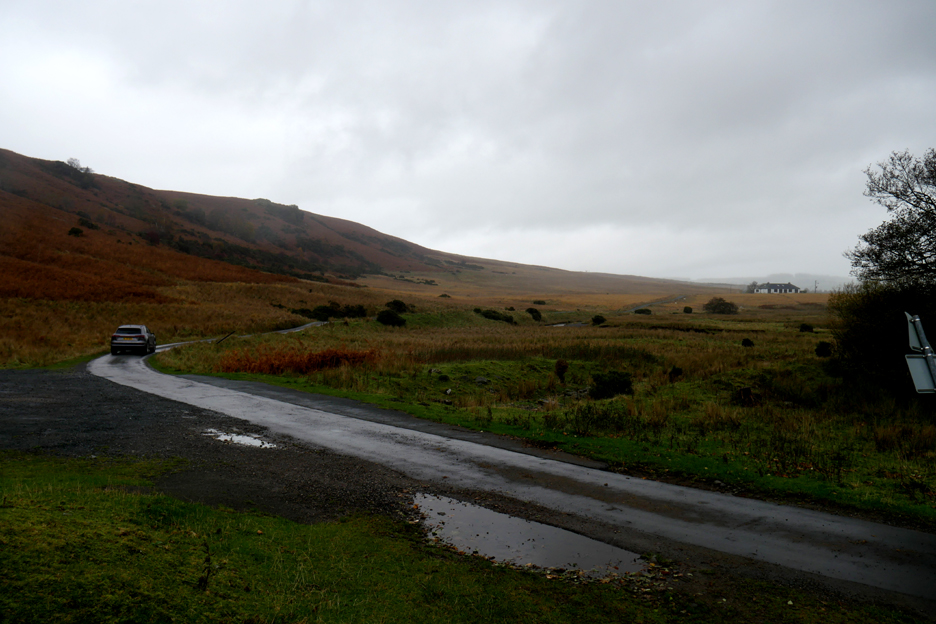
Looking back as we reach the cattle grid. This is the end of the road for fell walkers . . . vehicle access beyond here is for farm visitors only.
There is however a large area for parking should you need it. The car seen here is heading out of the valley towards Shap or Bampton.
It will climb through the bracken to the single tree on the skyline that is if we can still see it because the weather is turning damp and misty again.
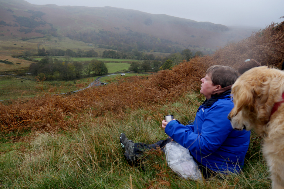
Having left the road we stop for refreshments (late lunch) but the splodges on the lens hints at the changing weather.
Fortunately the weather didn't close in and the grey clouds stayed high above us as we drew level with Scalebarrow Knott. I think Shap and the Lowther Castle area were receiving the rain instead.
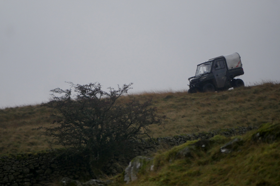
We had been entertained along this section of the walk by a farmer trying to gather his sheep off the fell. He had been driving around on his quad bike and tooting his horn with little effect. Suddenly he found success and a large flock of sheep crossed behind us . . .
Followed by the modern petrol powered "horse" he was using to round up the sheep.
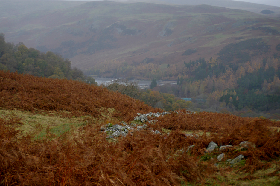
As we started our descent from Scalebarrow we saw our first glimpse of Haweswater ahead. The route however was complicated by having to cross the Naddle Beck Valley, lying hidden between here and there.
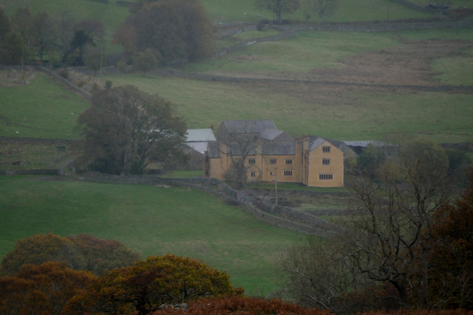
Nice views on this section however, as we look across to Thornthwaite Hall. That must be quite an old house with a long history, as yet unknown to me.
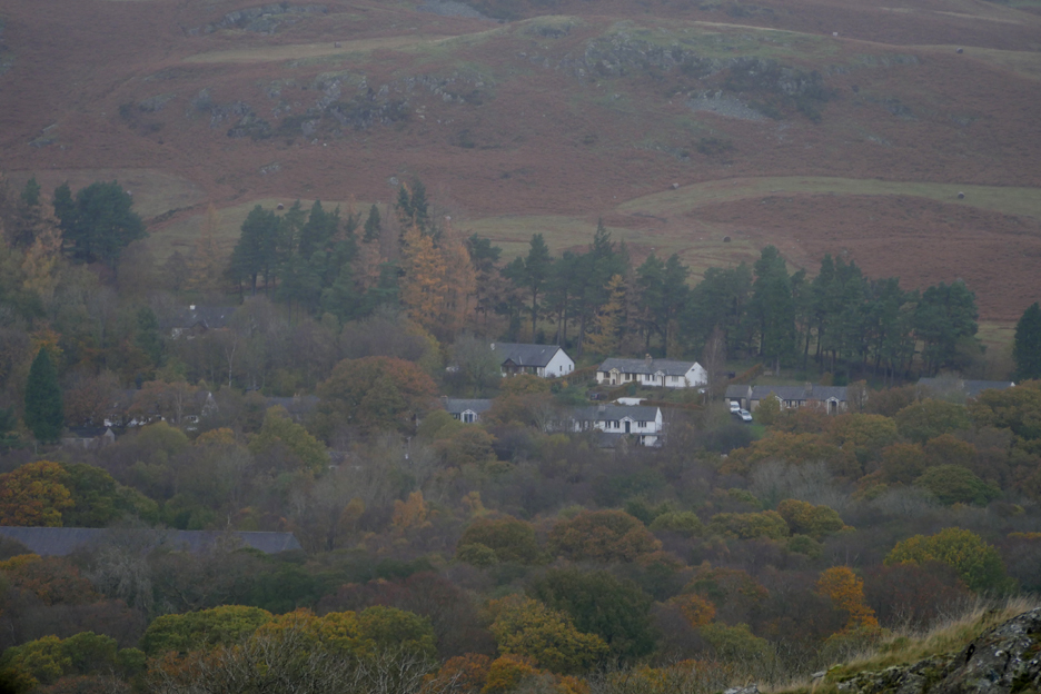
We also saw views of Burnbank Village down in the trees. Burnbank was the old construction workers village built in the 1930's. The Manchester Corporation was pursuaded to leave it after the reservoir was complete, so that it could be used as modern housing for the valley. Not all the people displaced by the reservoir chose to live here, many moved away to Shap or even further afield.
But I digress . . . as we drop down into Naddle Beck Valley we reach another small collection of houses and an aqueduct I first thought was carrying water south for the Midlands. It turns out it was a continuation of the aqueduct we had first seen at the weir in Swindale, carrying water north to Haweswater.
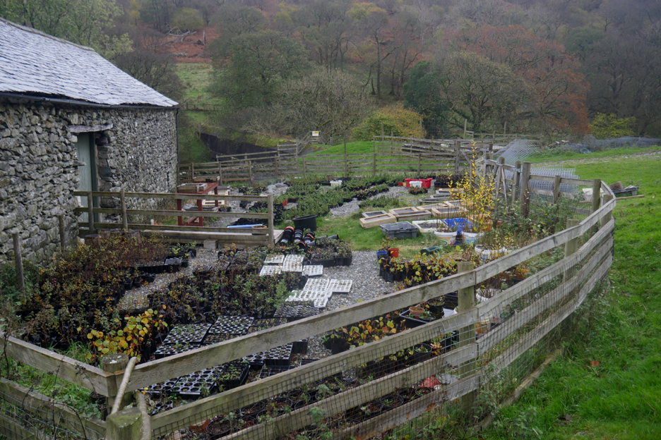
After fording the shallow Naddle Beck we passed the farm which now seems to be trying to make a living as a plant nursery.
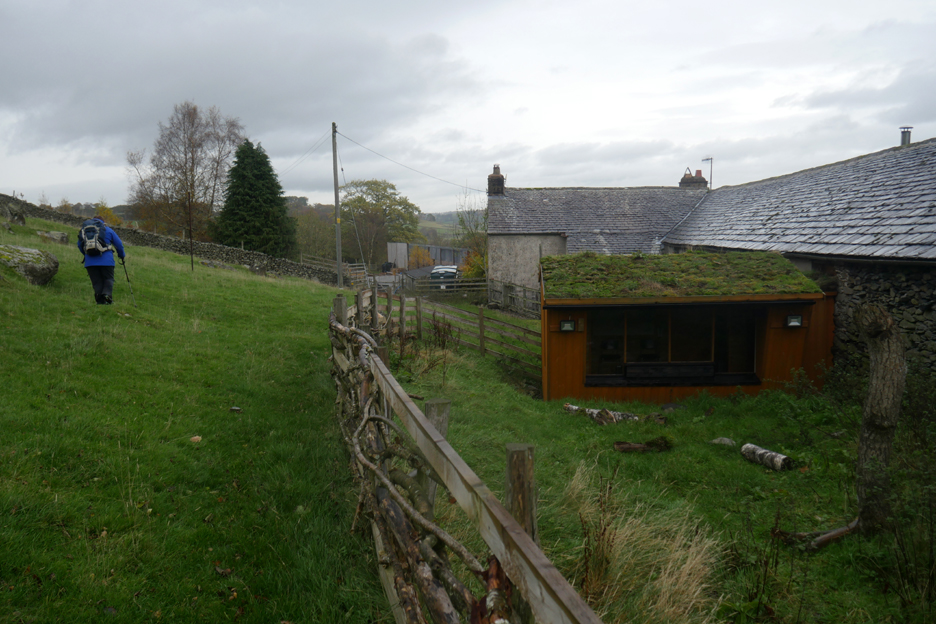
A turf covered outhouse appears to make a good bird watching studio for the cottage. We could have turned left and climbed up the path alongside the wall, walking direct for the reservoir, but instead we joined the farm road to the right and followed an easier route to the same place.
We were soon back on familiar ground . . . though the sunshine that I saw this morning was missing.
Across the other side of the reservoir was another major water input system. This was a second water aqueduct bringing supplies from Ullswater, collected without the need to alter the natural appearance of that iconic lake.
I big thanks to Angela and John for their company and for inviting me to re-visit a walk I hadn't done for many a year. Angela's pictures from today can be found on her website - - - o o o - - - |
Technical note: Pictures taken with a Panasonic Lumix Gx8 Camera.
Resized in Photoshop, and built up on a Dreamweaver web builder.
This site best viewed with . . . Angela and John and a Haweswater pot of tea afterwards.
Go to Home Page . . . © RmH . . . Email me here
Previous walk - 30th October Scale Hill - Post Flood
A previous time up here - 26th July 2012 Swindale and its Waterfalls
Next walk - 13th November - VSCC Honister Hill Climb with Loes