|
|
|
 |
Remember: Press F11 for a
full screen view of this page. |
Web Counter when published 1
918 555 |
|
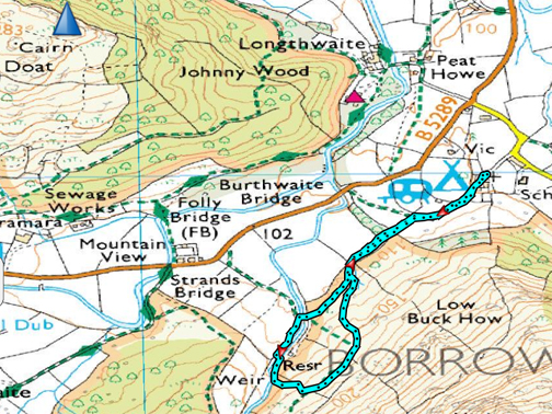
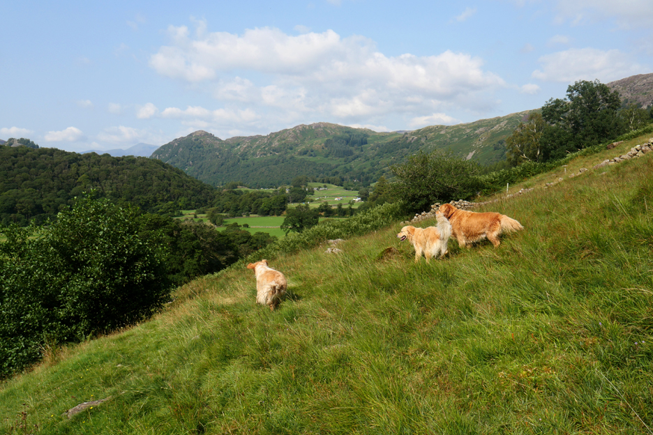
" Borrowdale Mill with Gill " Date & start time: 25th August 2021. 3 pm start. Location of Start : Chapel Farm, Stonethwaite, Rosthwaite,Cumbria, Uk. ( NY 258 140). Places visited : Chapel Farm, Combe Gill and Borrowdale Mill. Walk details : 1.25 mls, 275 ft of ascent, 1 hour. Highest point : Fellside below Low Buck How, 585 ft - 170m. Walked with : Gill, myself and the dogs, Finlay, Dylan and Dougal. Weather : Sunshine and blue skies, rather hazy into the sun.
|
© Crown copyright. All rights reserved. Licence number PU 100034184. |
|
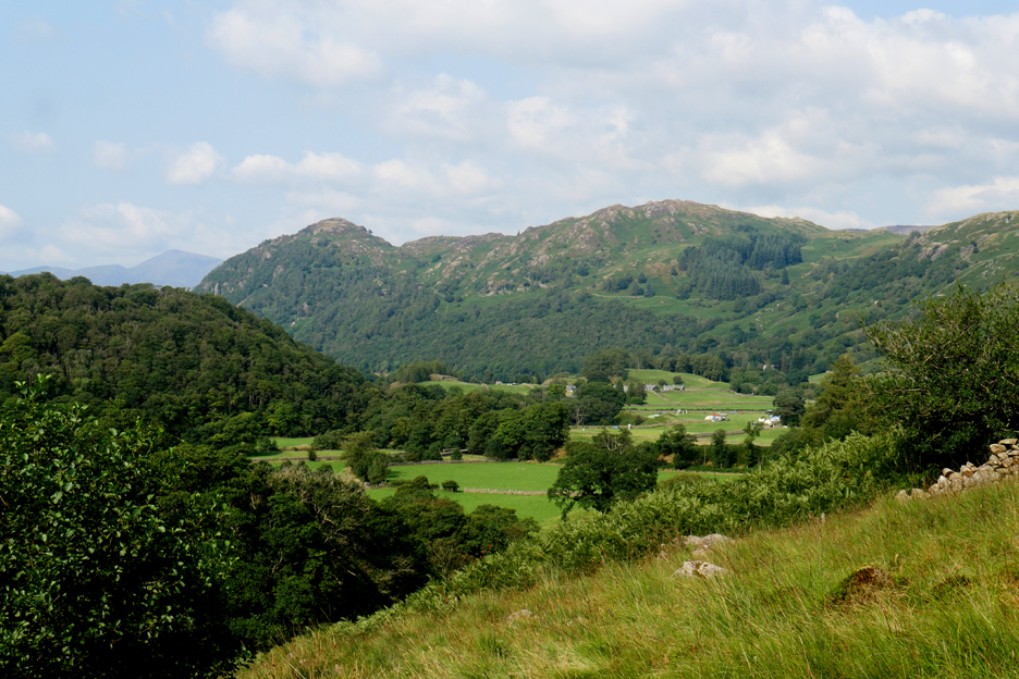
A mystery that has been in the back of my mind for a while was finally solved with a visit to Borrowdale (the Keswick one) and a walk from Chapel Farm up river into the Combe Gill Valley. Here my friend and local guide today, Gill, introduced me to the old Borrowdale Mill. Trevor was not well enough to join us but Finlay needed a walk and Gill was able to join myself and my two for a quick local outing.
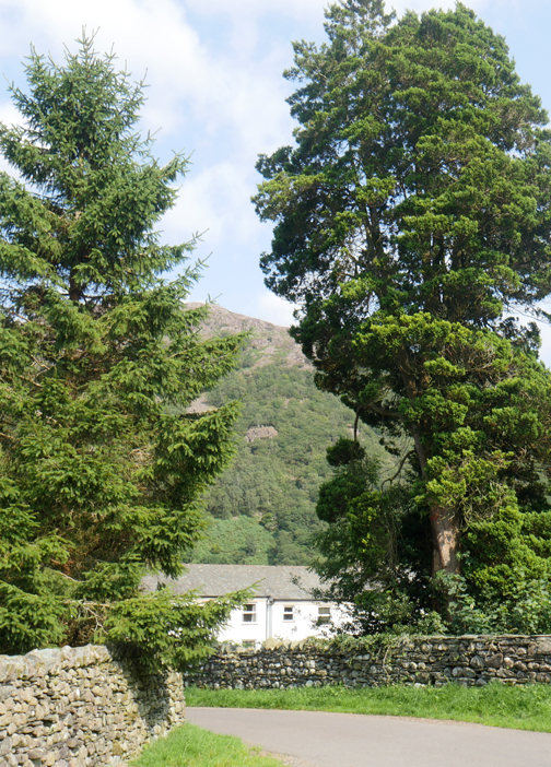
Parking for a few cars behind Borrowdale School on the short local road to Chapel Farm.
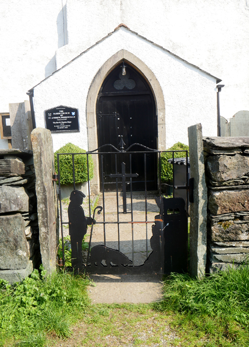
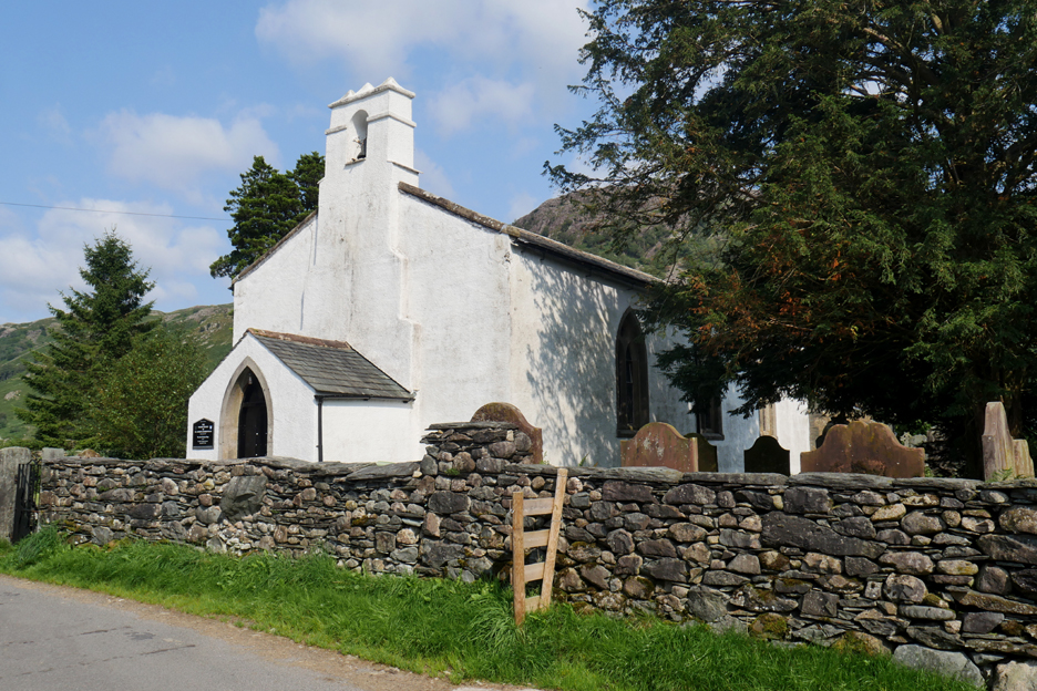
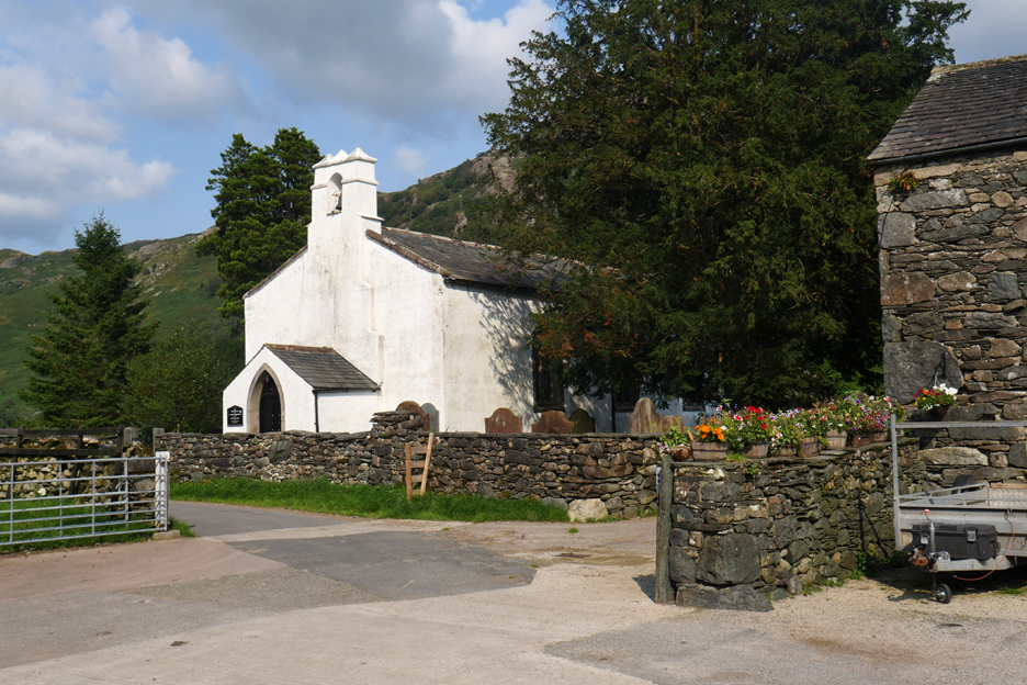
St Andrew's Church, near Rosthwaite in Borrowdale.
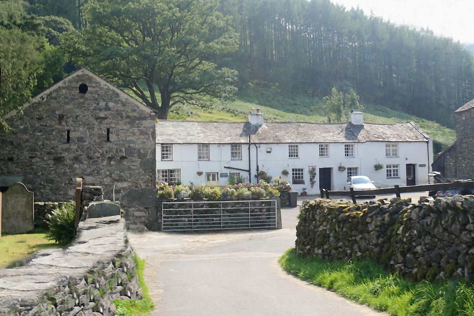
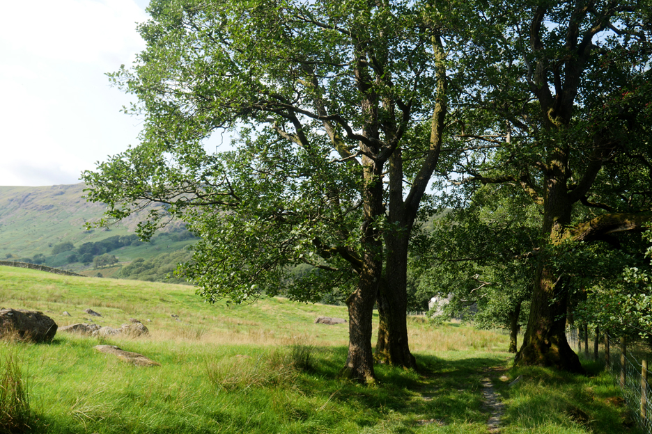
Chapel Farm . . . the public foot path we are using today passes left to right, diagonally through the farmyard.
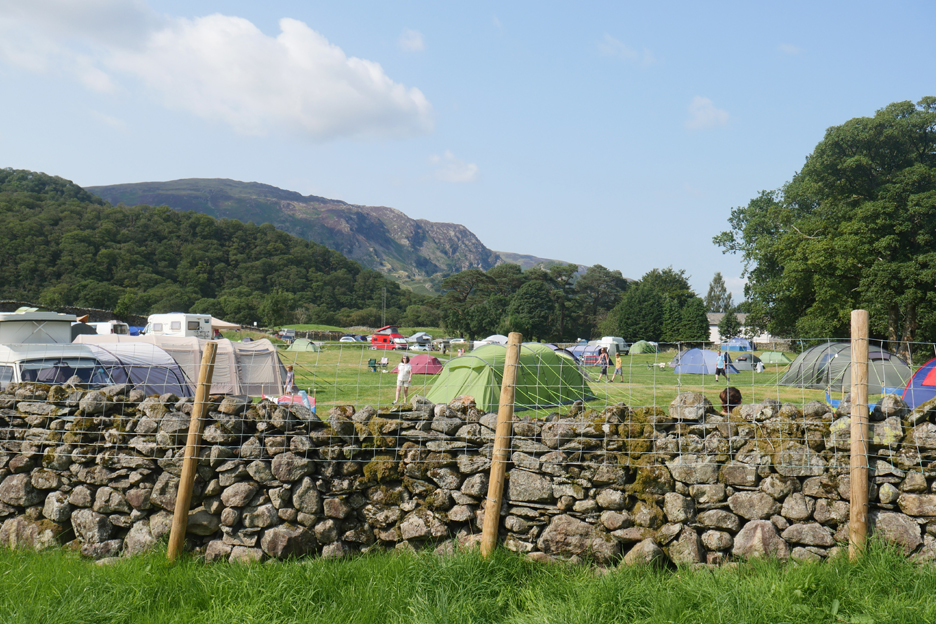
It would seem that the Chapel Farm campsite is virtually full to capacity. It has been over twenty years since we ourselves stayed here with our caravan as tourists on our visits to the Lake District.
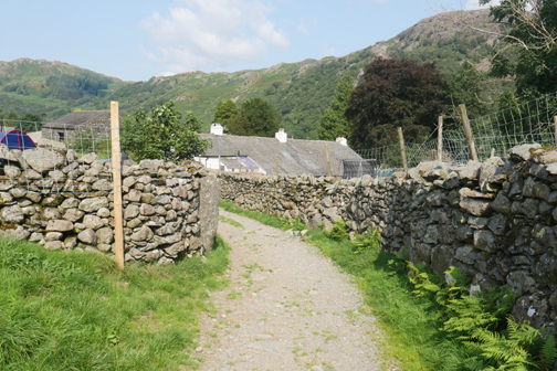
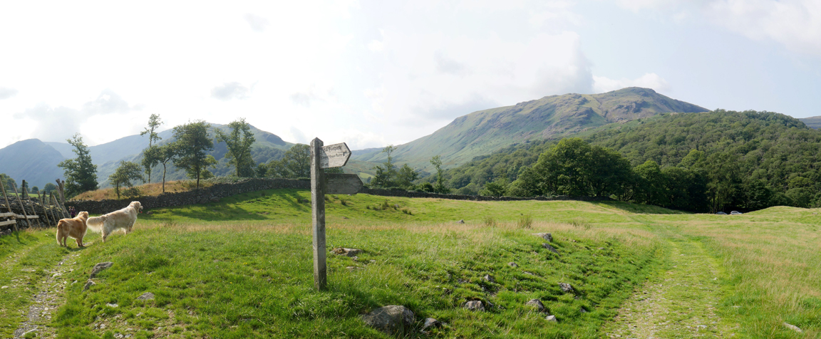
Behind the campsite there's a signpost where one path leads back to the main Borrowdale Road. The other, to the left behind the dogs, will take us more in the direction of Combe Gill.
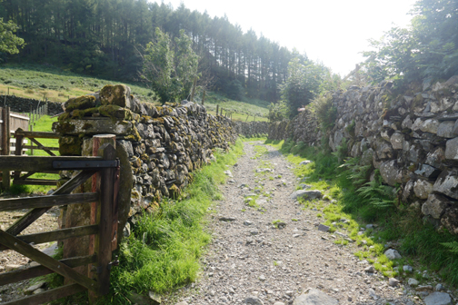
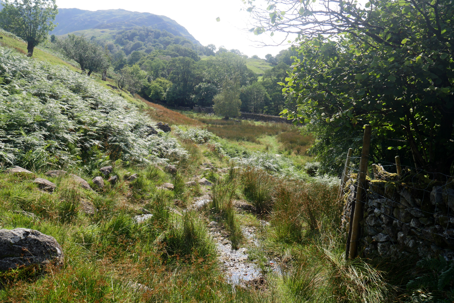
Follow the sign here . . . and leave the track in favour of the path that continues above and to the left of the fell wall.
Stout shoes are an advantage . . . we are out onto the more open fell paths.
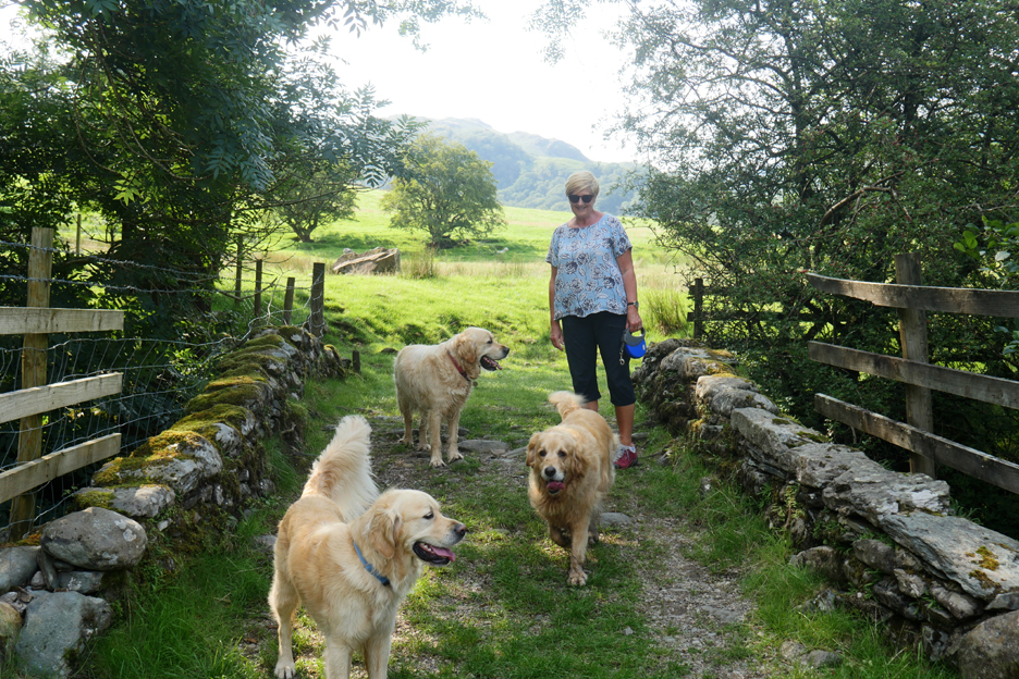
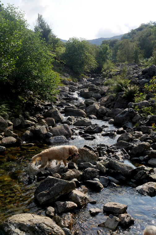
"Finlay of Borrowdale" makes good company for "Dylan and Dougal of Loweswater". Hopefully I also make good company for Gill on the walk today.
Across the bridge which spans Combe Gill, the path splits once again. To the right the path heads down to the houses at Mountain View, to the left it follows the river upstream.
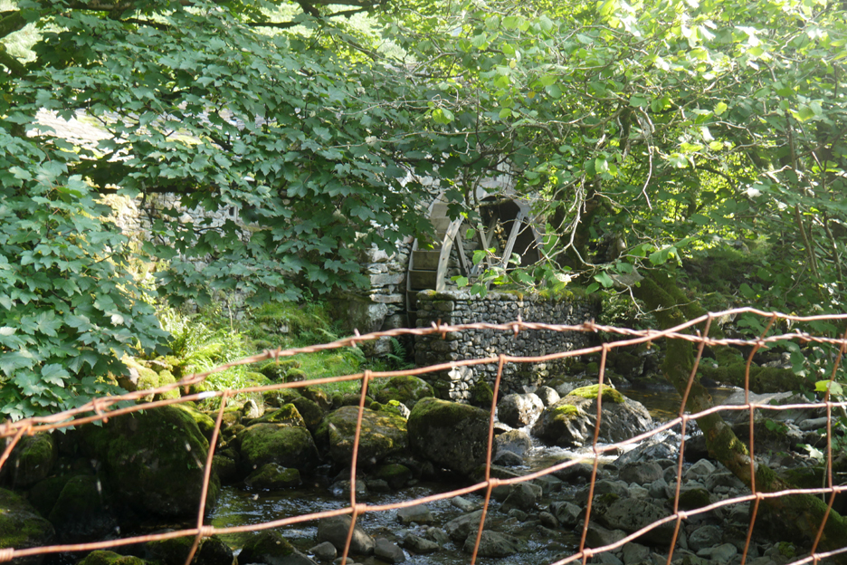
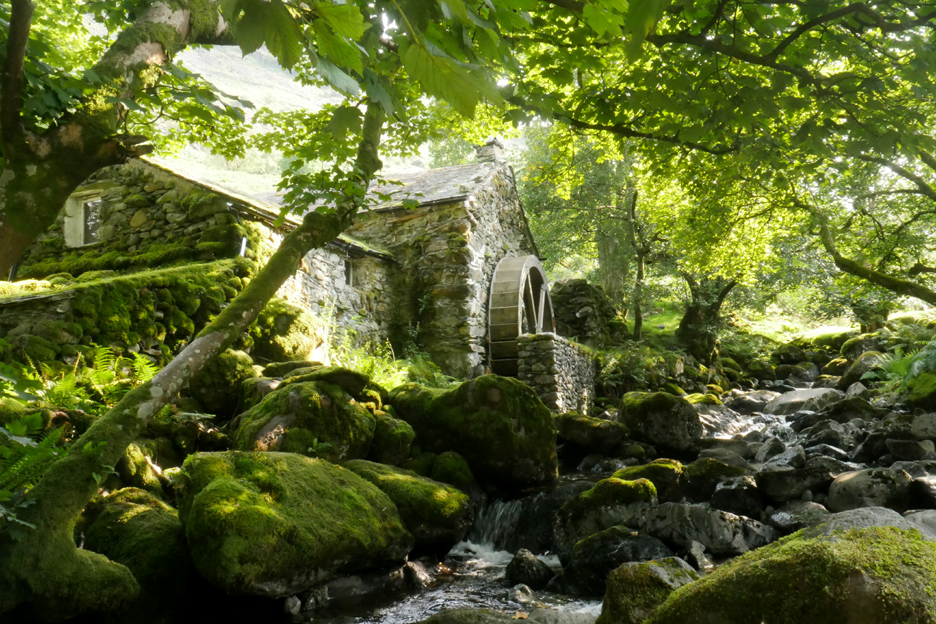
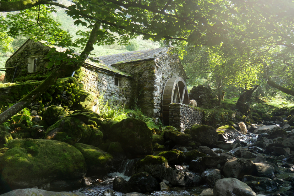
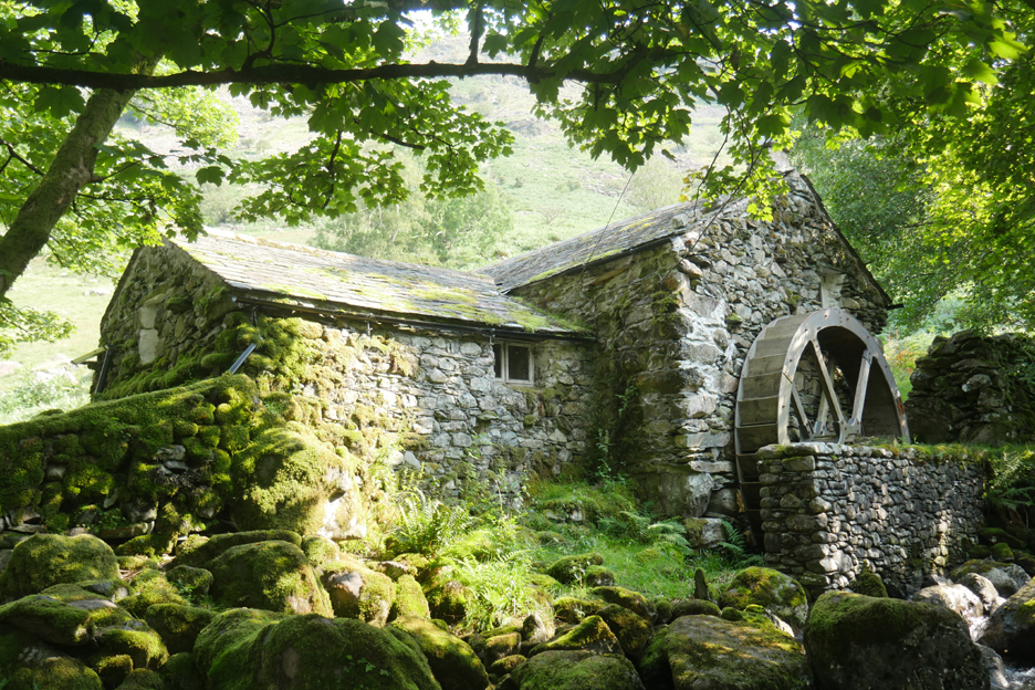
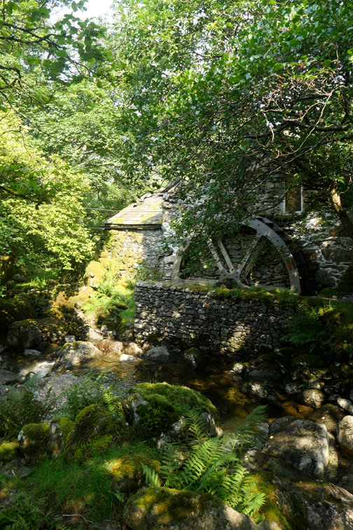
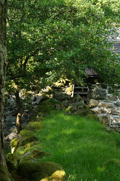
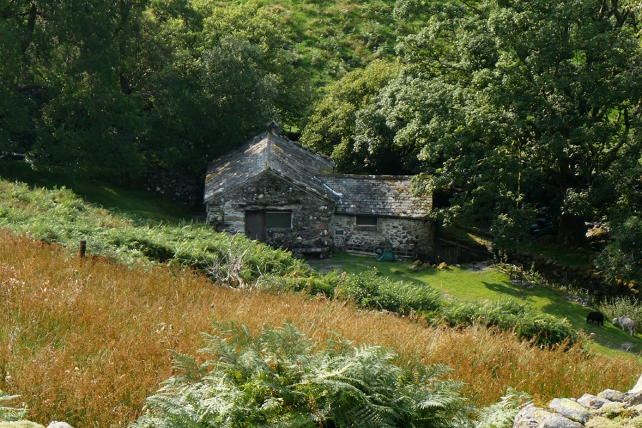
On the other side of the beck we reach the object of our desires . . . the Mill in Borrowdale.
A convenient gap in the fence allows us to cross to the river bank from where we get a better view of this lovely old mill.
With the thick summer vegetation and tree cover the view of the mill itself was a bit restricted but still good.
The old building was originally built on 1546, which makes some of the stone construction here around 465 years old. It was built to grind corn for the valley. The current water wheel mechanism actually dates from about 1800. In later life the building gets a mention on the 1947 Ordnance Survey maps as a saw mill for cutting timber, possibly for Honister Mine but no doubt for other commercial purposes as well.
According to an article in the little Cumbria Magazine that Gill sent me, the wheel mechanism was removed in the 1930's and re-located to Grange Village where it generated 10 volt DC electrical power for Ellers House (now High Close). With the arrival of mains electricity to the valley in the 1950's the generator became redundant and the wheel was replaced here at the mill. At this time the mill building was derelict but was rescued and refurbished as a bunkhouse for residential purposes.
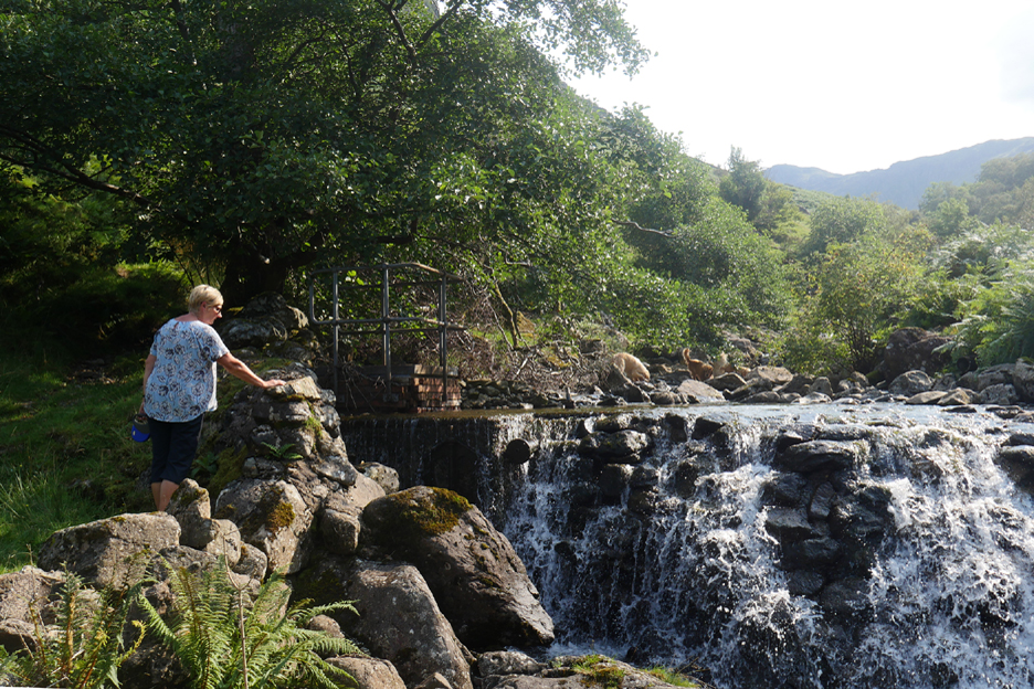
Gill and I followed the river upstream to the old weir where the water would have been first diverted to feed the mill.
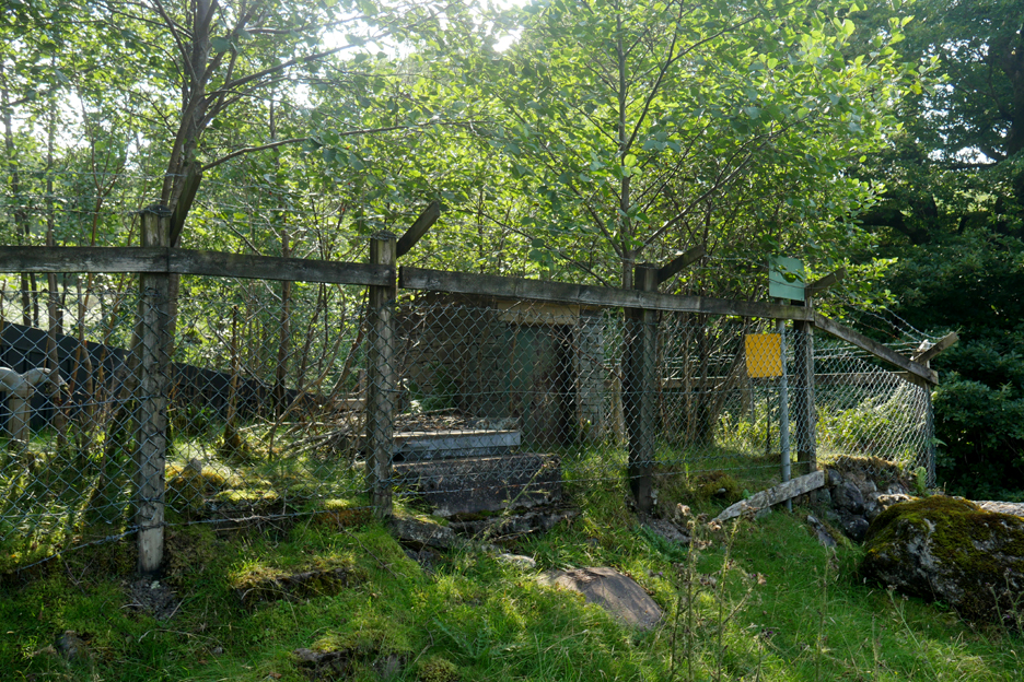
The history of the site is further complicated by a more modern structure which could have been an old mill pond but which was covered over and converted to form some sort of holding tank. It's purpose was unclear and I'm not going to speculate here.
From the weir we headed directly uphill, towards the path on the map that traverses the higher slopes.
The three dogs really enjoyed the freedom of this part of the walk.
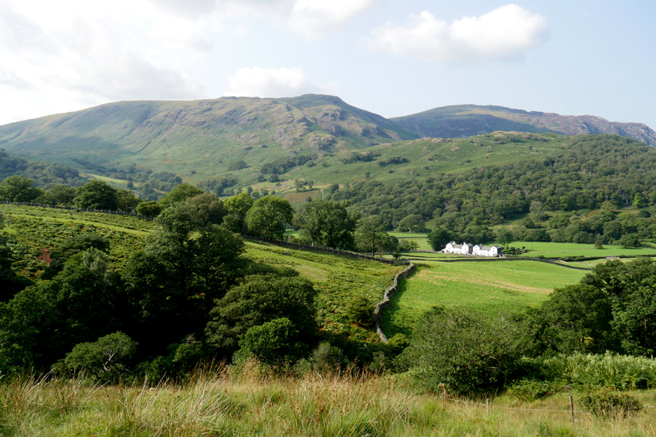
From our high vantage point we cold look across to the three story houses of Mountain View.
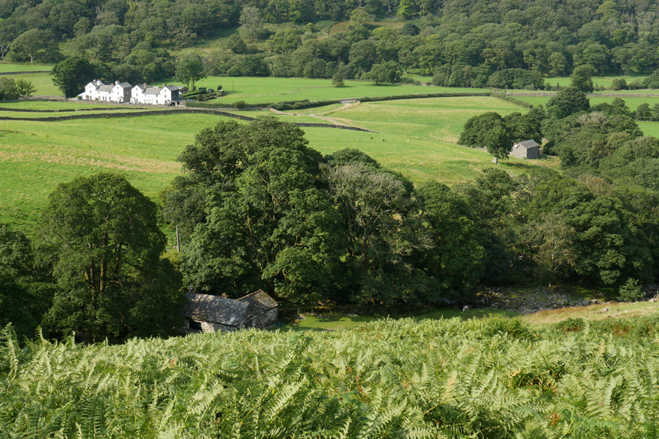
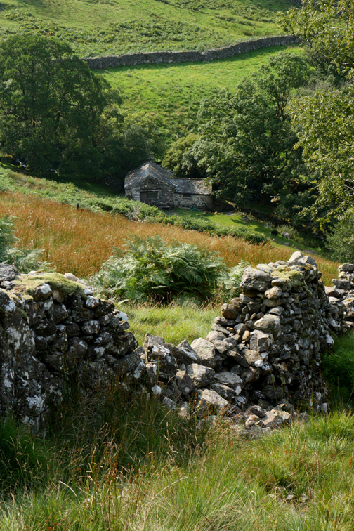
As we walked back towards Chapel Farm three adjacent buildings gradually fitted neatly in one photo. Mountain View is top left, the old mill directly below, to the right the barn-like structure of a new hydro electric generating station which creates up-to-date electricity from the present day waters of Comb Gill.
If you look closely you can see the dark plaque on the wall that apparently gives some historic information about the mill building and also visible are the old mill stones that seem to be laid flat in the garden area outside the front door of the building.
Strangely a young sapling grows from the ancient trunk seen beside the path us as we descent back down to the valley.
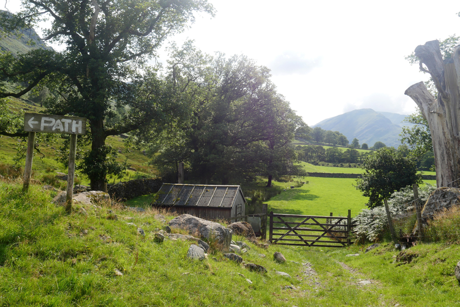
We've rounded a rather irregular circle and returned to the hut in the field.
It was just a short distance to return to the farm and St Andrews Church.
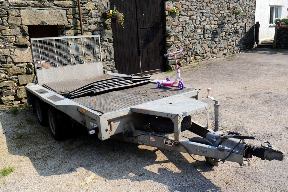
One last photo of the breakdown truck sent out to rescue a certain young lady's scooter. Either that or it was a convenient place to put it, out of reach of its young owner ! Time to return home to Grange for an early evening supper with Trevor and Gill. - - - o o o - - - |
Technical note: Pictures generally taken with either a Panasonic Lumix TZ60 or my Panasonic Lumix Gx8 Camera.
Resized in Photoshop, and built up on a Dreamweaver web builder.
This site best viewed with . . . a geographic placing for an old photo first seen several years back.
Go to Home Page . . . © RmH . . . Email me here
Previous walk - 23rd August Holme Woods with Loes & Frieke
A previous time up here - 10th November 2019 - Castle Crag Remembrance
Next walk - 26th August Helvellyn via Brown Cove
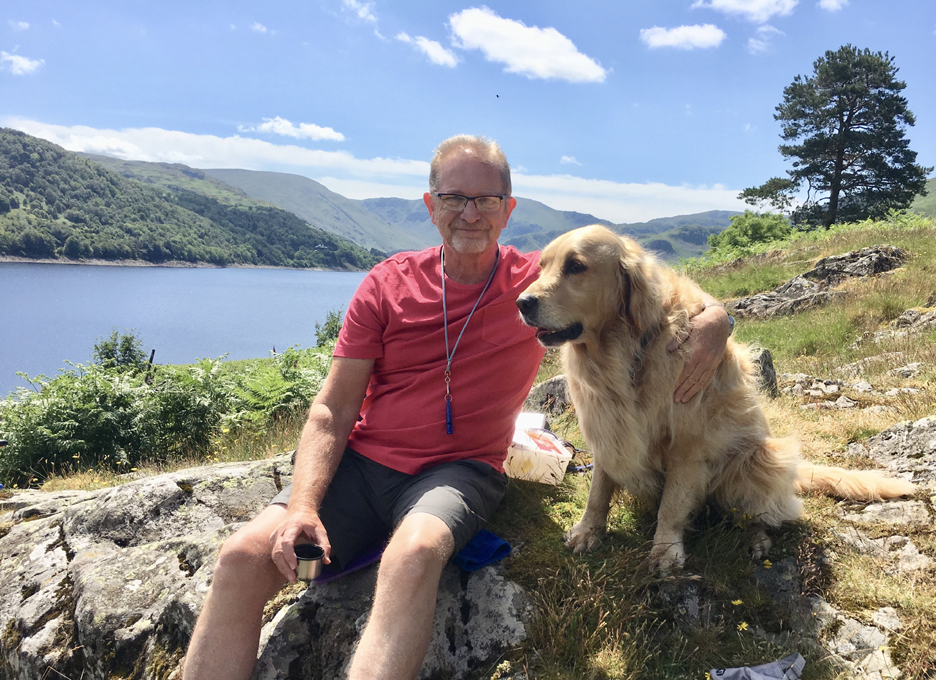
I would like the photos today to be dedicated to the memory of Trevor Bulch who died this week. Sadly the treatment he had been having for cancer failed to be successful and within days of this walk Trevor's treatment was ended and he died peacefully at home with his family around him.
Trevor and Finlay at Haweswater. Photo by Gill ©2019
|