![]()
Remember: Press F11 for a full
screen view of this page.
Web Counter when published 1 912 630
|
|
|
|
Remember: Press F11 for a full
screen view of this page. |
Web Counter when published 1 912 630 |
|
" High Nook and White Oak Mines " Date & start time: 5th July 2021. 3 pm start. Location of Start : By the red phone box, Loweswater, Cumbria, Uk. ( NY 143 211 ) Places visited : Maggie's Bridge, High Nook, White Oak Mines, Harry's Pool and back. Walk details : 4 mls, 850 ft of ascent, 2 hours 5 mins. Highest point : Below Black Crags, overlooking White Oak Beck, 900ft - 277m. Walked with : Myself and the dogs, Dylan and Dougal. Weather : Sunshine and blue skies. |
© Crown copyright. All rights reserved. Licence number PU 100034184. |
|
I visited the White Oak Valley via the lower slopes of Hen Comb earlier in the year but with just a mobile phone the photos weren't high quality or extensive enough to post separately, so today three months later, I decided to re-visit in order to get better photos and more understanding of the place by walking in from the High Nook side of the valley.
Early July and the weather was fine and dry so I extended the walk slightly by first heading up towards Foulsyke House to first walk along the top road.
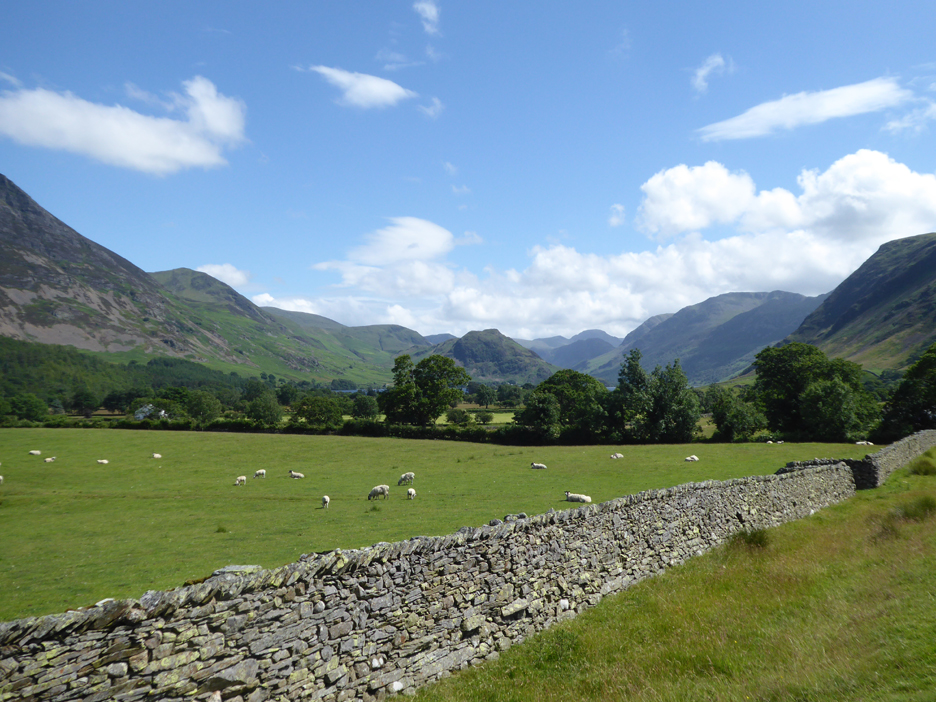
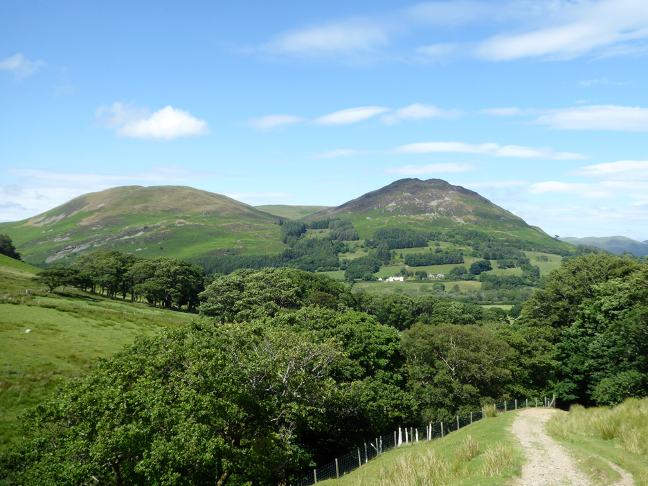
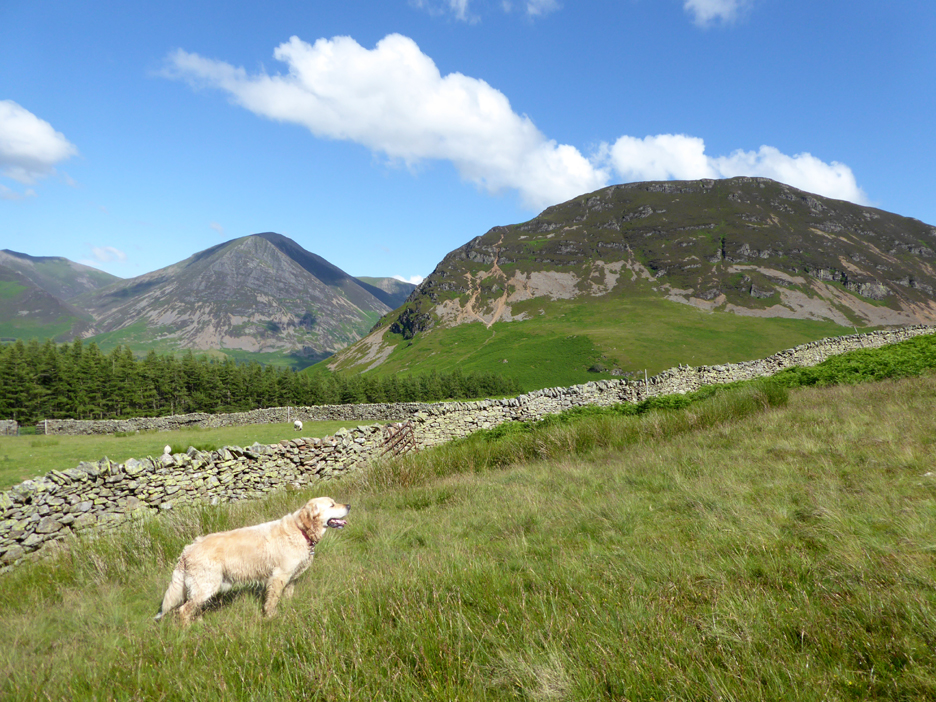
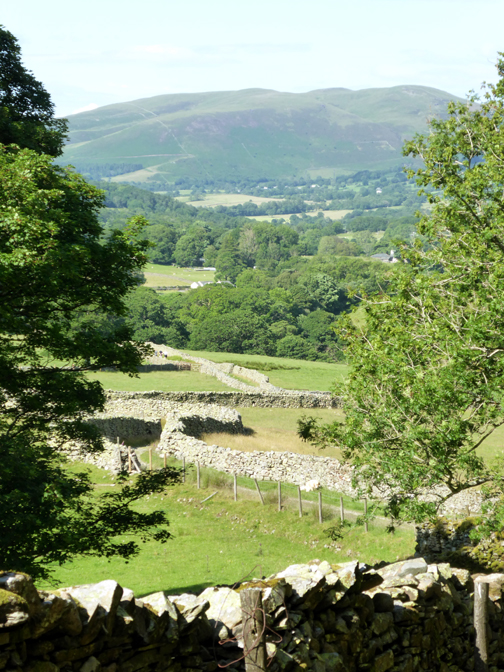
Looking back as I cross the first field. Rannerdale Knotts stands out above the trees, as does Great Gable at the head of the valley.
Scale Hill Cottages (the old hotel) and the extensive rocky screes of 'Whiteside' which presumably gives the fell its name.
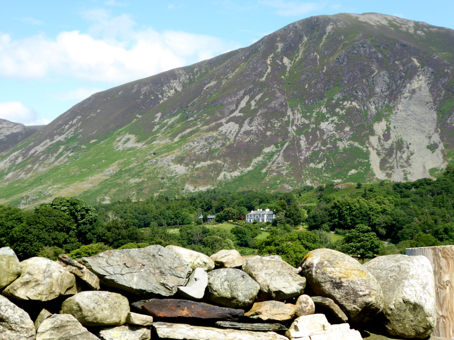
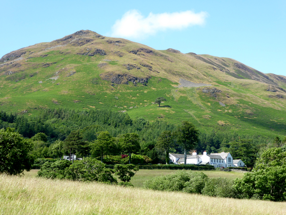
Foulsyke House and above it, the Lonesome Pine on the side of Low fell.
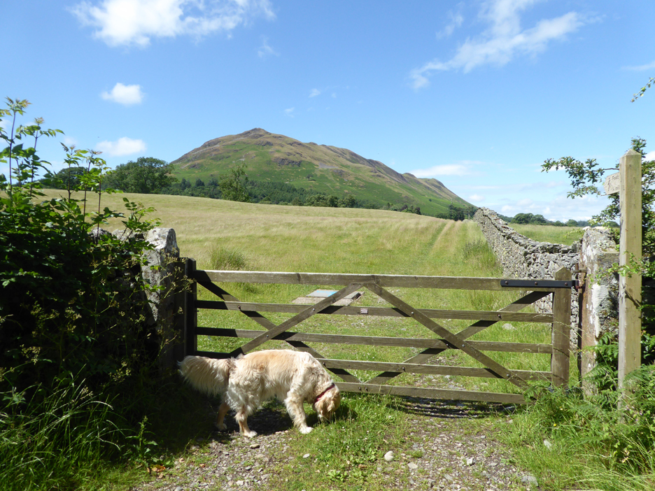
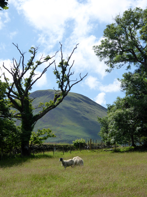
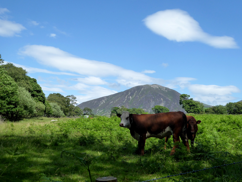
In the field next to the car park are a a number of beef suckler cows. There seem to be more cattle about in recent years as the farm subsidies gradually change from 'animal numbers' to more environmental considerations.
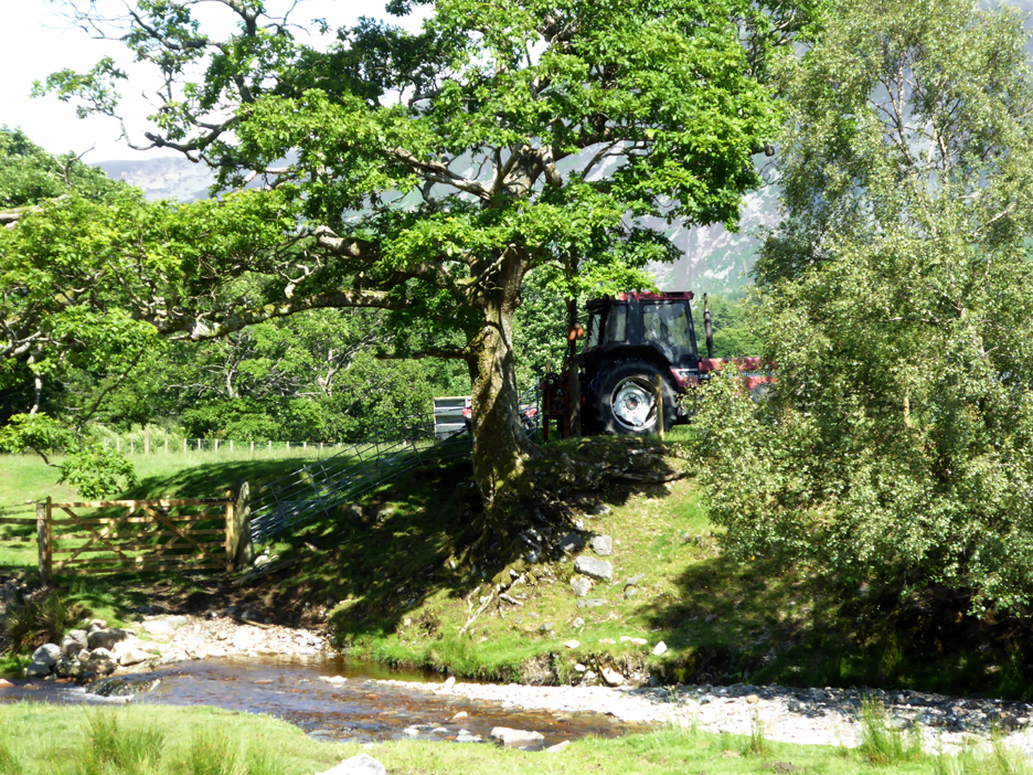
The High Nook farmer is post-bashing with a hydraulic fencing machine mounted on the back of his tractor.
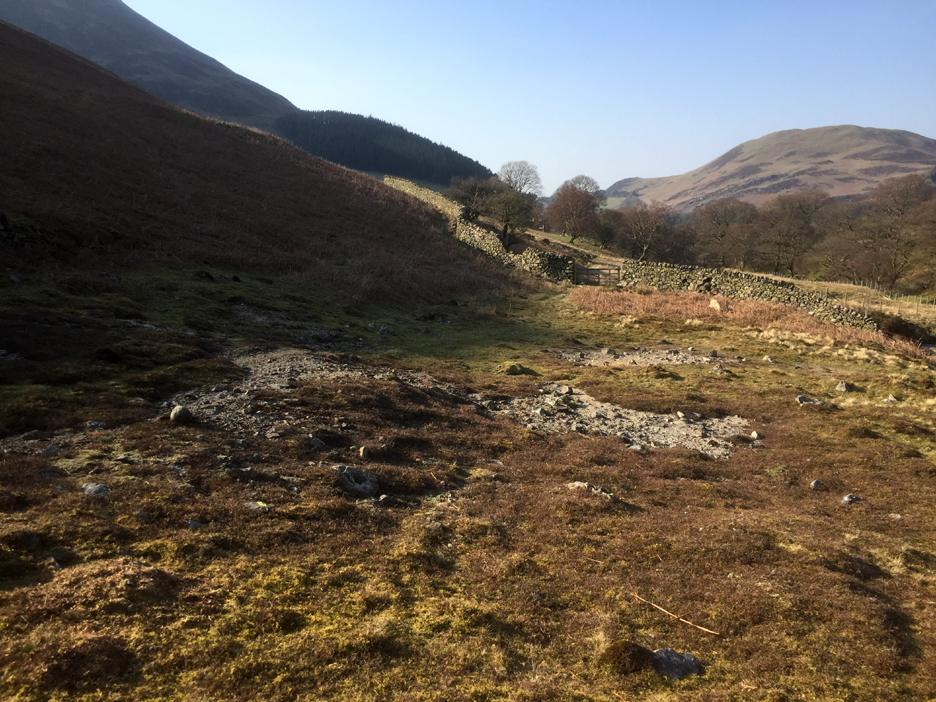
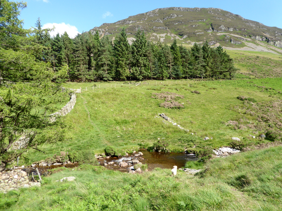
Climbing steeply beyond the farm, following the Coffin Road track up into the High Nook amphitheatre.
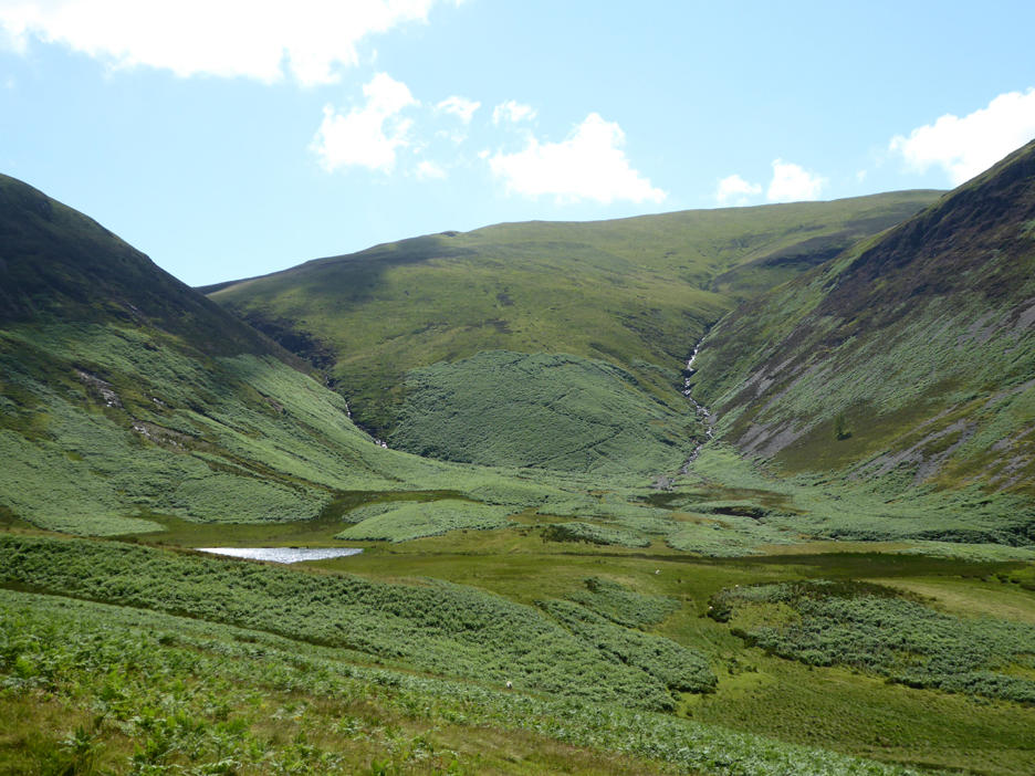
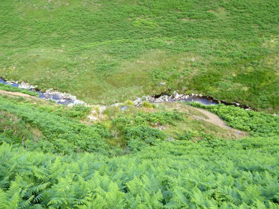
Here the river spits, one tributary draining Gavel, the other Blake Fell. Tucked to one side is High Nook Tarn, but strangely neither stream flows through the pool but keep to the right hand side of the valley, leaving High Nook to rely purely on local surface run off to maintain its level.
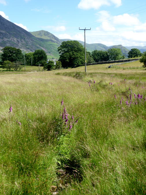
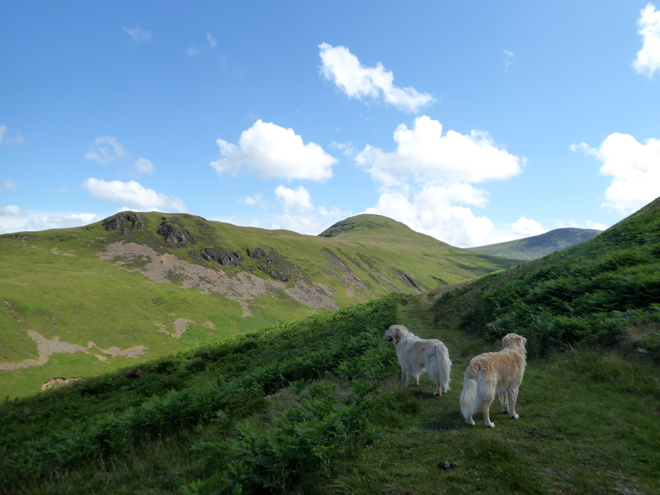
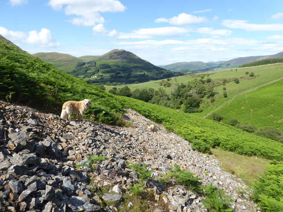
The dogs and I take the bridleway rising up onto the western side of the White Oak valley. Ahead, on the other side of the dip, is Hen Comb. This is quite a good track for the next mile but peters out unceremoniously before reaching Floutern Pass.
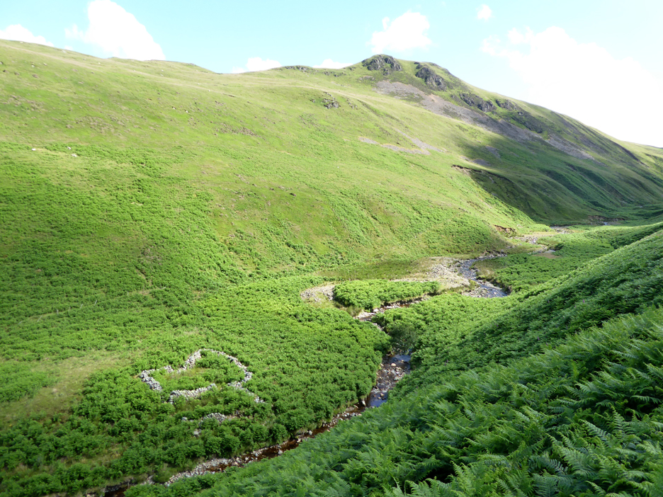
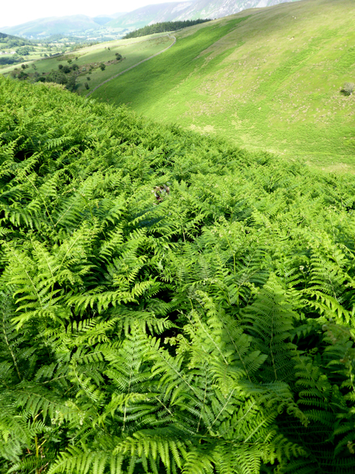
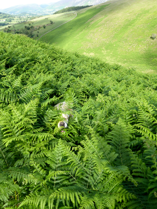
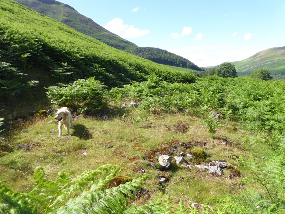
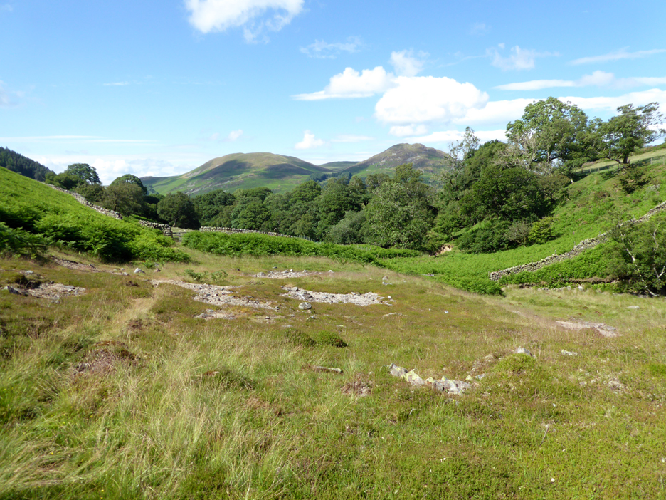
We leave the track where it levelled out and looked down for a route into the valley. Three months on it's high summer, the weather is different and the bracken has grown to such an extent that everything is hidden !! - - - o o o - - -
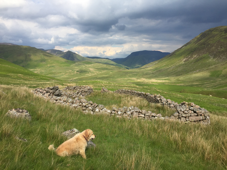
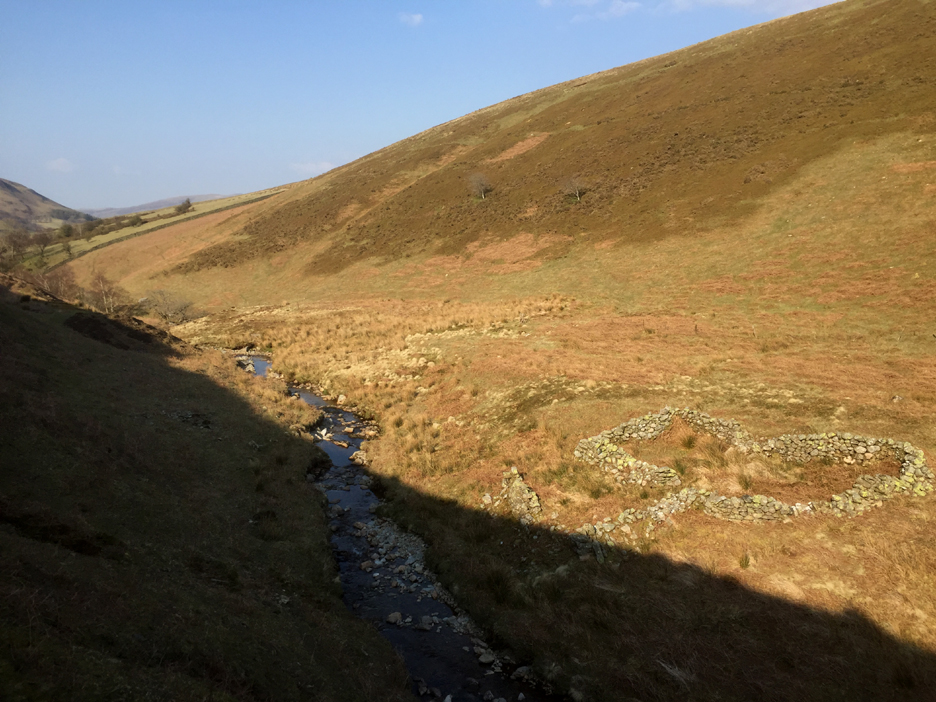
To digress, these are two pictures from a walk up at the top end of the same valley. This is a large sheepfold close to the Buttermere to Ennerdale path, the photo was taken on a walk back in June.
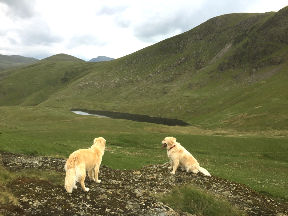
From Floutern Cop, the small grassy summit alongside the highest point of Floutern Pass, I look down on the diminutive Floutern Tarn. Normally hidden from view, the tarn nestles beneath the high crags on the northern side of Great Borne. In this warm summer weather all three of us enjoyed a swim in its quiet waters before heading back home. - - - o o o - - - As I mentioned before, I was also in the valley in April, again on an unplanned "dog walk" which had been extended due to the sunshine.
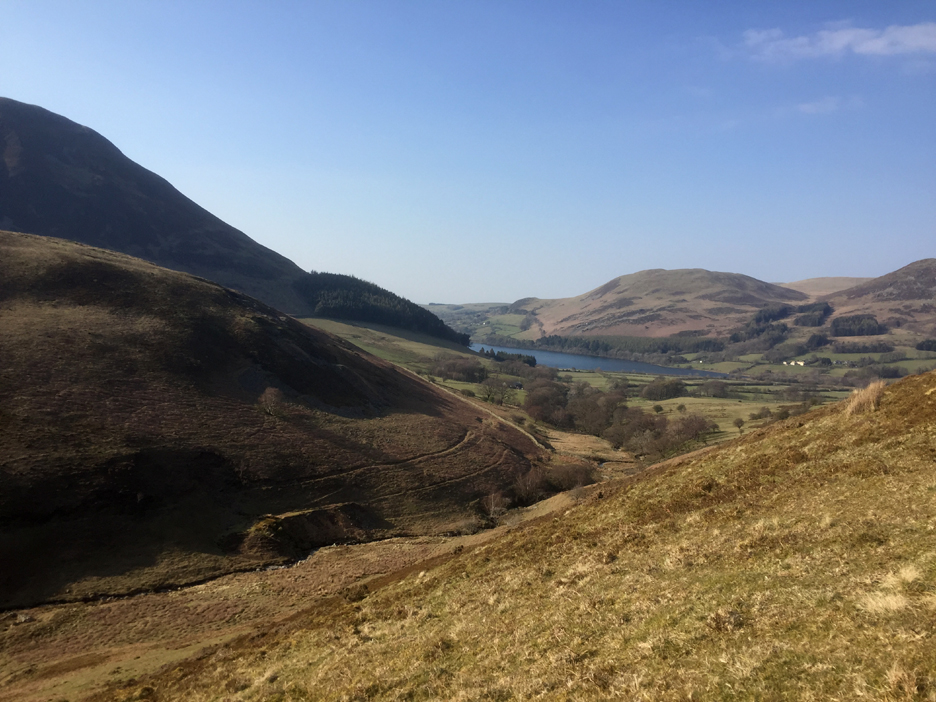
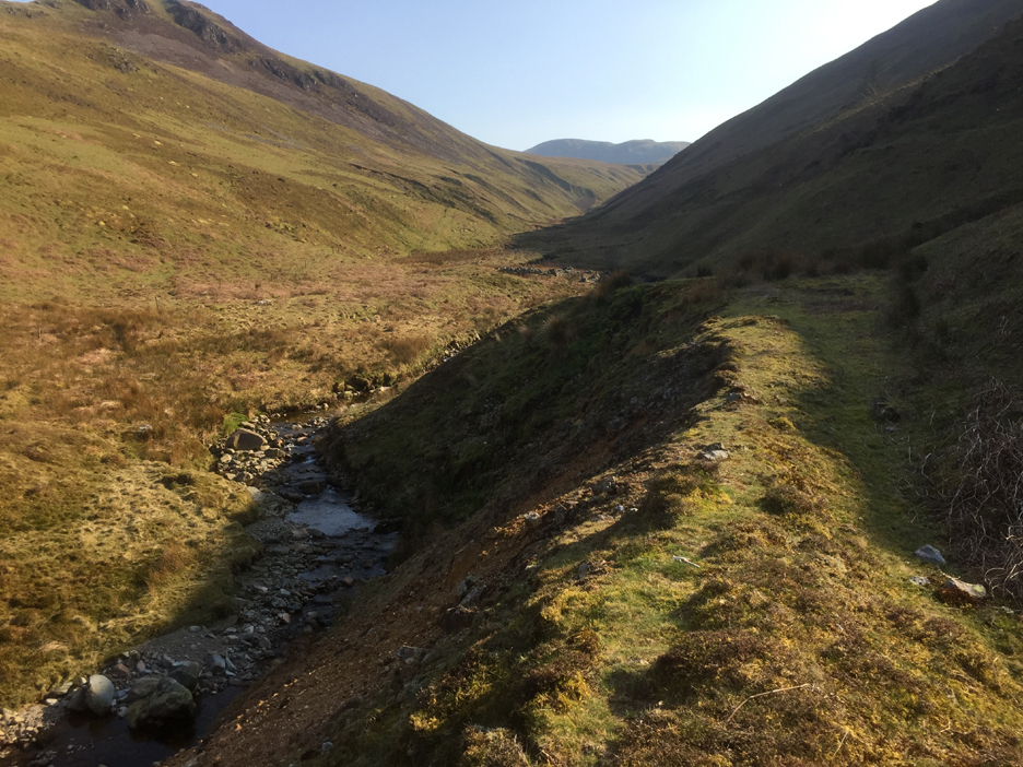
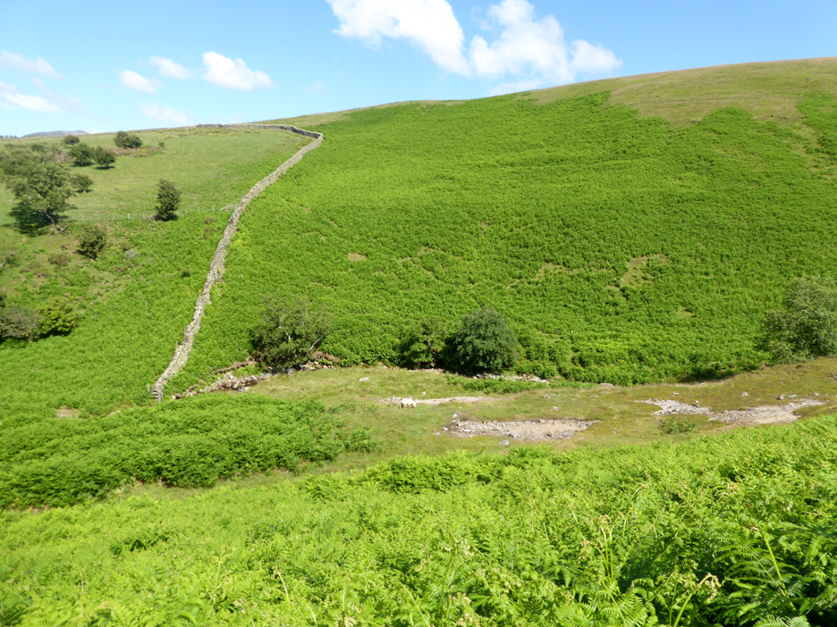
That time I approached the old White Oak Mine area via the Mosedale Valley and the track that passes the Kirkstile. Across the way you can see several horizontal ledges on the lowest slopes of Black Crag. These are both tracks and water channels that served the old lead mine, hidden in the shadows of the other side of the valley.
I dropped down into the White Oak Valley a short distance upstream where one of the old weirs must have been. You may be able to make out the channel in the bank opposite which was the start of one of those horizontal leats.
What now looks like a path would once have once been a water channel carrying water slowly across the fell side towards the mine.
The faster fall of the river meant that the water channel "gained height" and this allowed it to power a water wheel overlooking the mine area. Motive power like that was important for work within the mine but also powering crushing equipment for the initial processing of extracted ore.
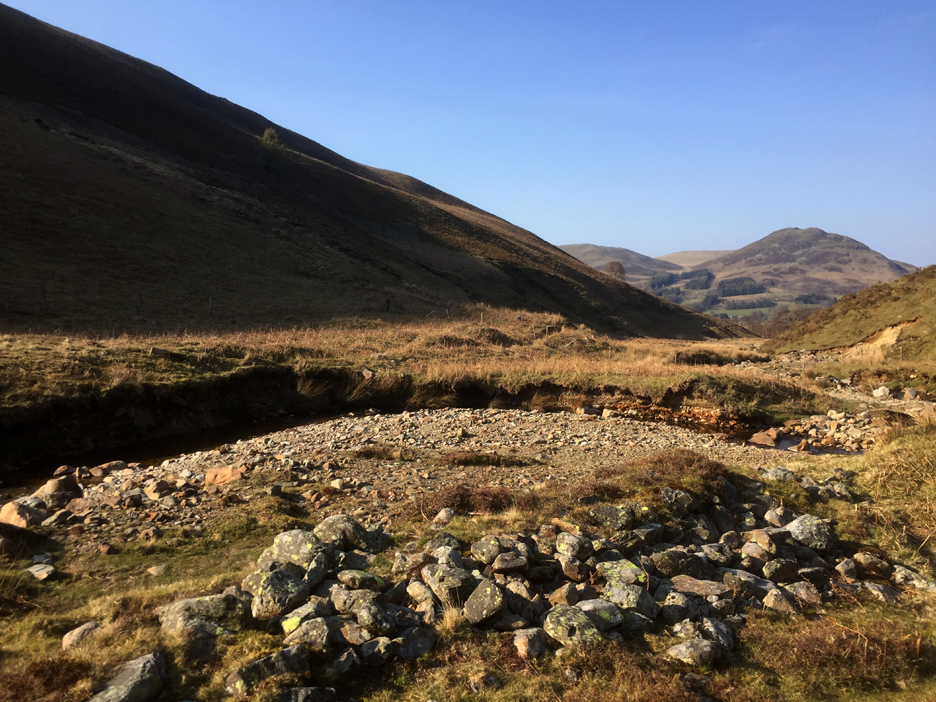
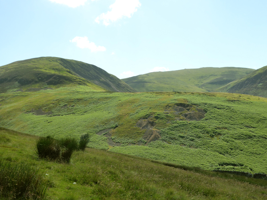
An old excavation, presumably a mine entrance now collapsed and filled with rubble. The vegetation has not grown back over the lead-poisoned mine spoil.
The path / water channel continues on above the old entrance to a flattened area which could have been the site of a header tank or mill pond for a water wheel set slightly lower down the slope. [ I really must try and find out more information and any site plans for the old workings. ]
The flat ground next to the river would have been the initial processing area for the lead ore. The gate ahead leads across farm land to the adjacent High Nook Farm and away to the main road and distant ore smelters.
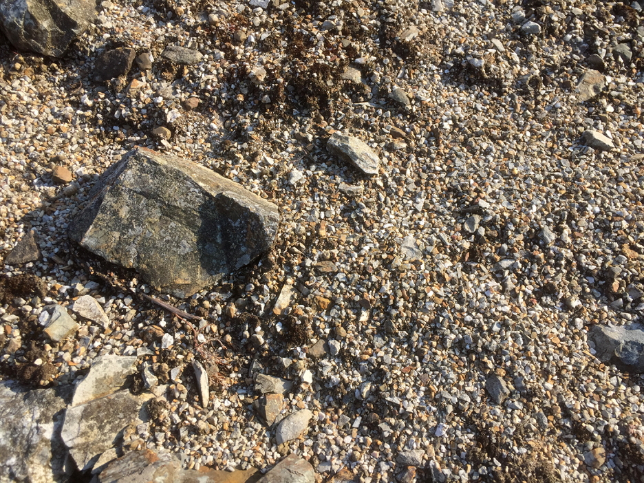
One last photo of the spoil heap showing varied nature of the crushed spoil rejected after initial crushing. - - - o o o - - - Today, with the summer season, sun higher in the sky and a better camera, I thought I could get more meaningful photos . . .
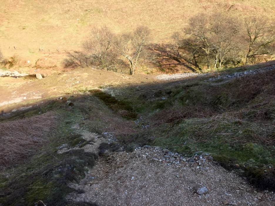
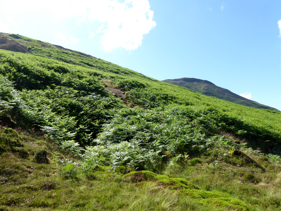
I'm standing on that same horizontal water leat, looking down on that same mine addit that I photographed back in the spring. Everything is very hidden and very different !
Picking our way carefully down the edge of the spoil heap where the bracken doesn't grow.
The flattened area at the end of the leat, again the detail hidden in the bracken.
I take the hint of a footpath down to the edge of the river. Nature has reclaimed a pathway that hundreds of workers must have walked one hundred and fifty years ago.
It leads down to the working area on the flat ground and the gate to High Nook Farm I mentioned earlier.
Another view of the ore processing area by the river. All I have to do now is cross the beck and climb up through the bracken alongside the wall. There seems to be an easier diagonal path through the bracken but of course I didn't see it till I looked back at the photo once I got home.
Looking back at the mine area as I climb the opposite slope. You can make out three or more "levels" of mine working and the flattened water wheel (?) area lower down in the bracken.
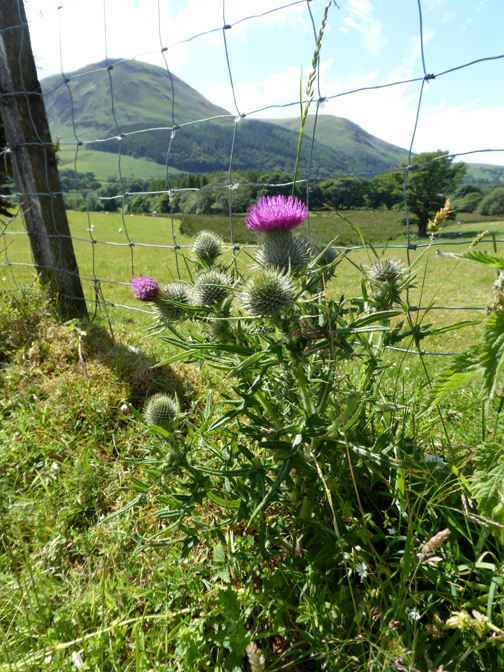
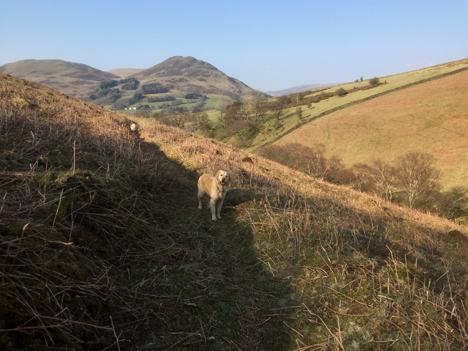
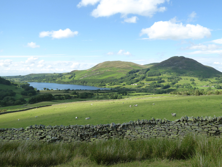
As I climb my sights turn to more distant views, here of Darling Fell and Low Fell and the rich blue of Loweswater.
The wall tracks its way across the fellside towards Mellbreak and the Mosedale Valley.
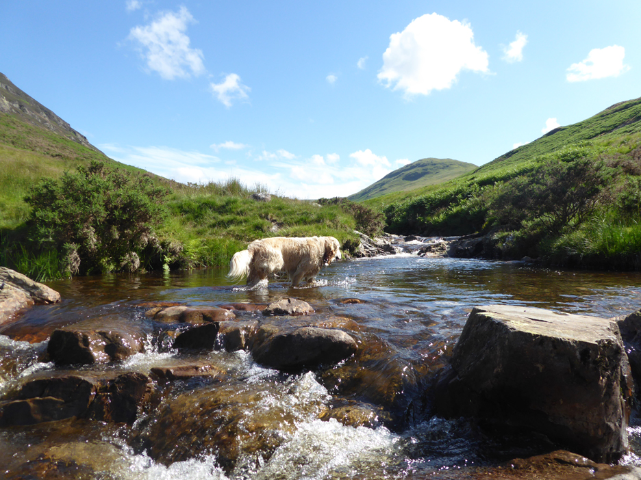
The stepping stones and swimming point at "Harry's Pool".
Sadly the stones are covered at anything above normal river levels and crossing is more therefore difficult. The far end of the pool is about five or six feet deep and was lovely and warm today !
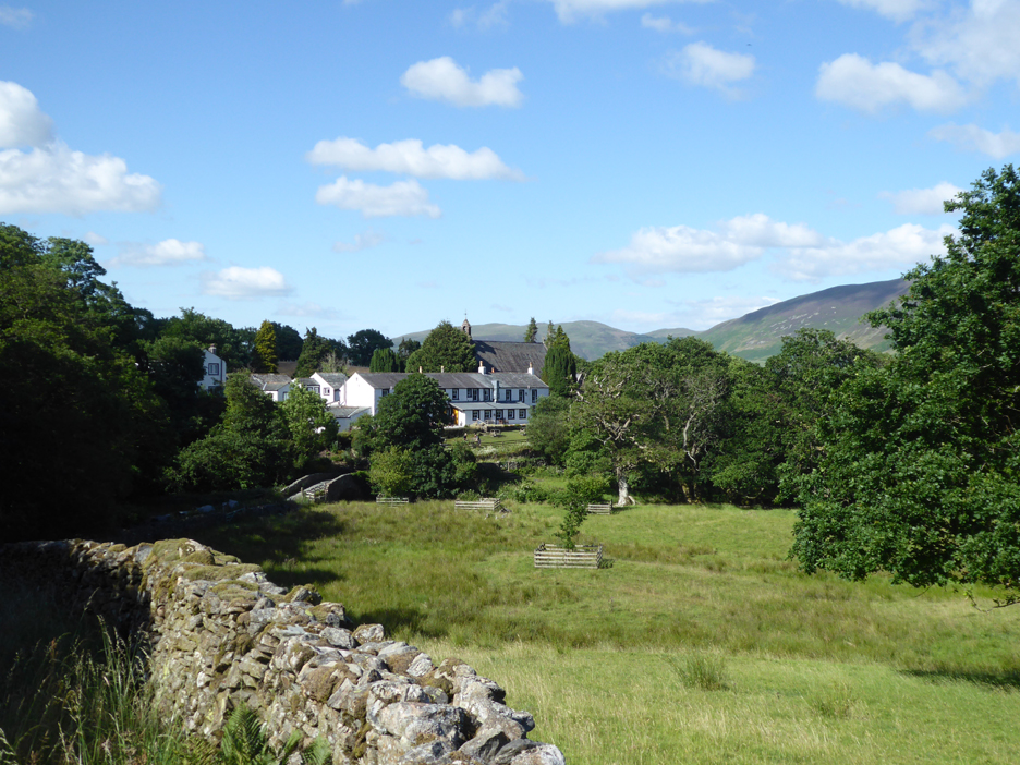
Drying off in the sunshine after the swim, as I head back down the track towards Kirk Head Farm and the pub.
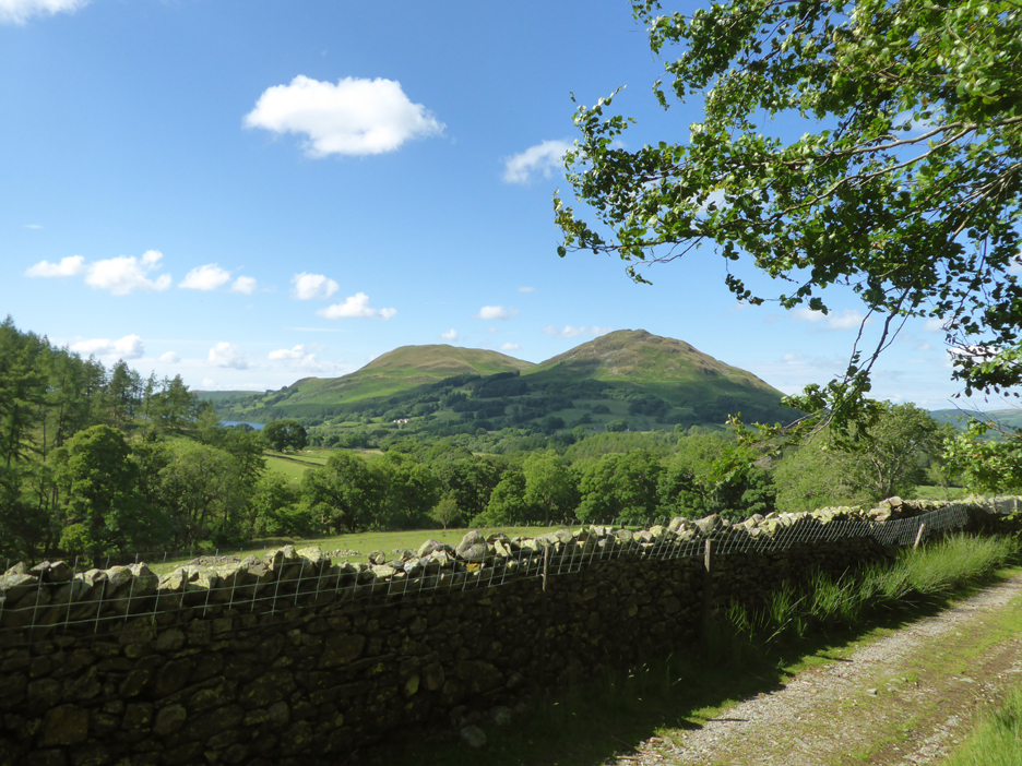
Looking across the fields to Low Park, Crummock and Grasmoor.
July and the pub is properly re-open for business with folk enjoying the beer garden and facilities once again.
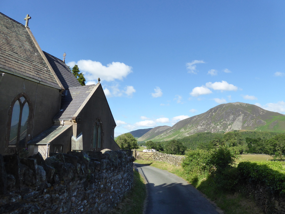
Loweswater St Bartholomew's Church, photo-wise it's " Righteousness after thirst" as opposed to the other way round.
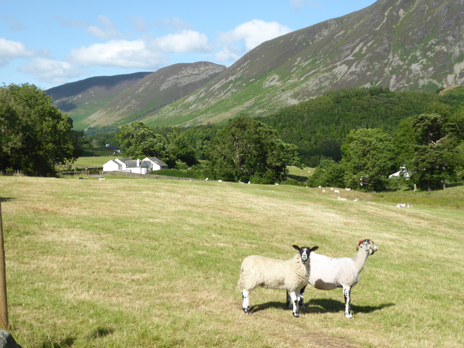
The cottage is just a sheep's walk away now. Perhaps several cups of tea would be more refreshing than a beer after this warm walk. - - - o o o - - - Towards the end of that April walk I met a couple of fellow walkers and we chatted about the White Oak bridleway and how they had difficulty in following it at the top end of the valley.
We also talked about Hen Comb that they had just climbed . . .
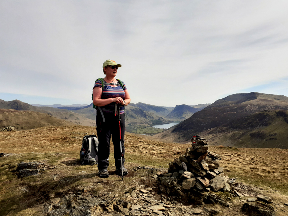
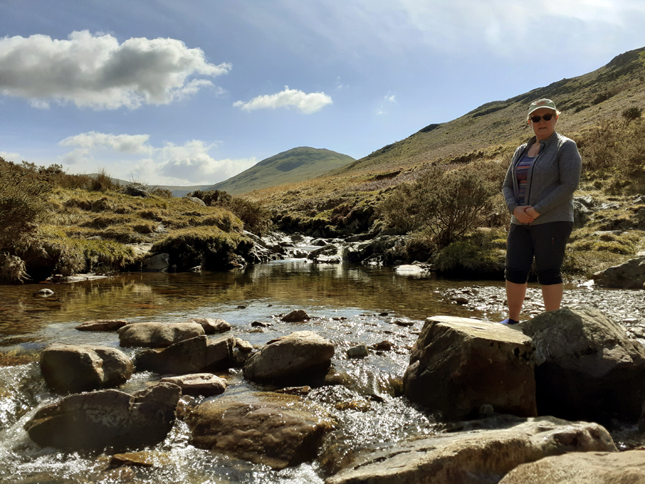
. . . and sent me a photo from the summit cairn and from their river crossing at Harry's Pool.
- - - o o o - - - |
|
Technical note: Pictures generally taken with either a Panasonic Lumix TZ60 or my Panasonic Lumix Gx8 Camera. Resized in Photoshop, and built up on a Dreamweaver web builder. This site best viewed with . . . Go to Home Page . . . © RmH . . . Email me here Previous walk - 3rd July Loweswater's new Flower Meadow A previous time up here - 12th August 2007 Webmasters on Gavel Next walk - 15th July Sale Fell for Peter D
|