![]()
Remember: Press F11 for a full
screen view of this page.
Web Counter when published 1 890 555
|
|
|
|
Remember: Press F11 for a full
screen view of this page. |
Web Counter when published 1 890 555 |
|
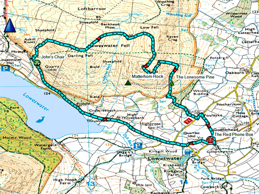
" Dick Knave with Hillary and David " Date & start time: 16th May 2021. 12 noon start. Location of Start : By the red phone box, Loweswater, Cumbria, Uk. ( NY 143 211 ) Places visited : Darling Fell, the old dam, Low Fell, Lonesome Pine and home. Walk details : 4.5 mls, 1300 ft of ascent, 4hours 15 mins. Highest point : Dick Roger (Low Fell viewpoint) 1340 ft - 412m. Walked with : Hilary and David and the dogs, Dylan and Dougal. Weather : Damp to start and finish, overcast but reasonable in between. |
© Crown copyright. All rights reserved. Licence number PU 100034184. |
|
Two local pre-Ordnance Survey names came to light recently and by real coincidence they apply to today's photos with Hilary and David. We walked from home to the Mosser Road then up onto Darling Fell (Dick Knave), then on to Low Fell (Dick Roger) and the Lonesome Pine, places that Hilary and David really wanted to visit in person after seeing them here on the website.
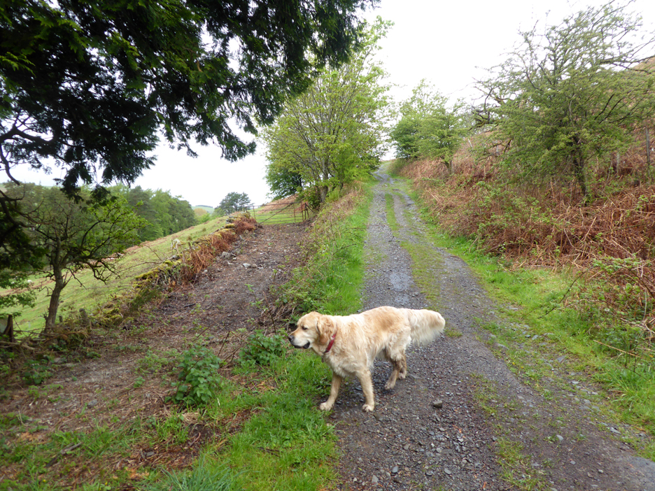
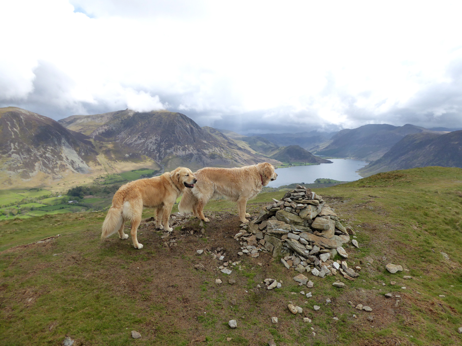
Hilary and David with their two retrievers . . . hang on, they look like mine !
They have been long time visitors to the Lake District and also regular viewers of my web site but they had never walked Darling Fell or been to the Lonesome Pine . . . today was their chance to put that right.
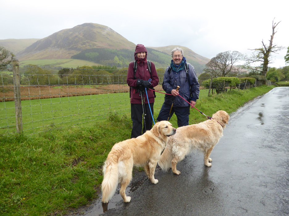
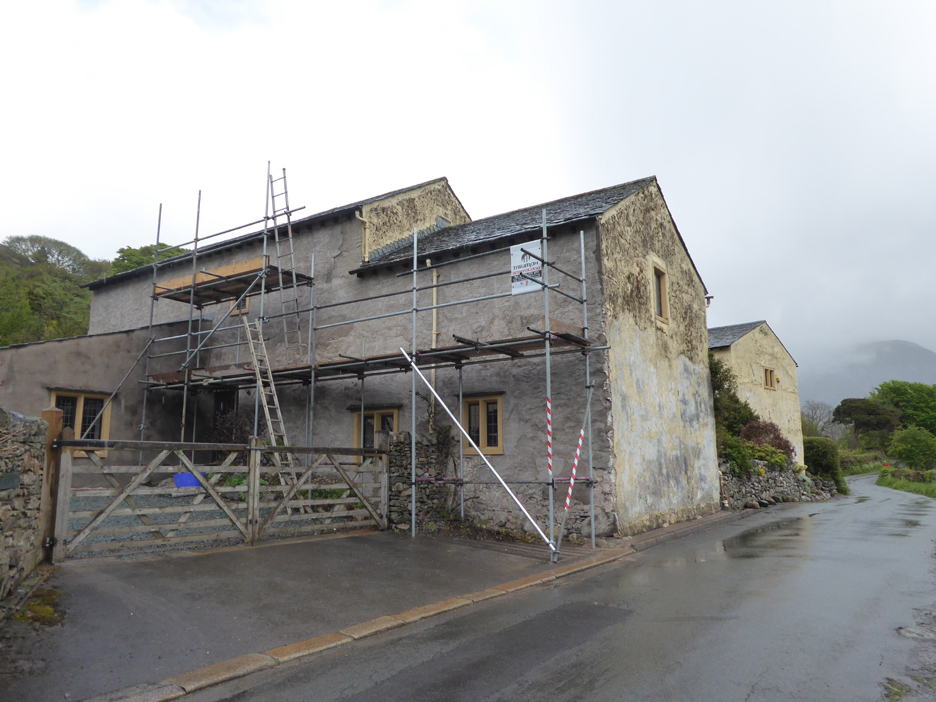
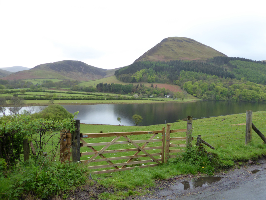
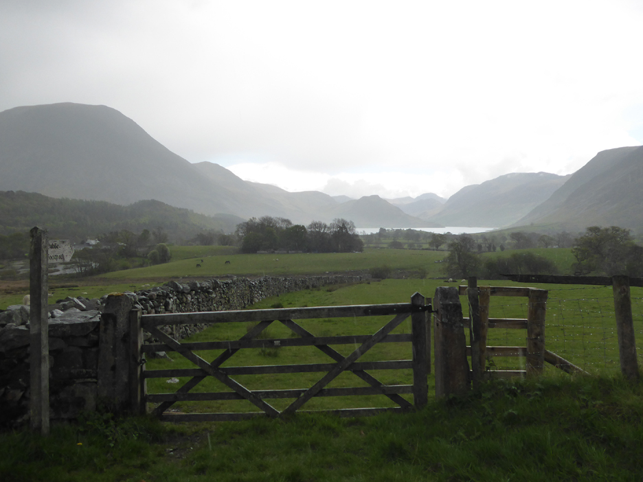
We walked the road from the red phone box, in the direction of Loweswater (lake) passing the imposing Thrushbank House, which is currently undergoing a touch of major re-decoration.
The view from their front door is much the same as ever . . . only a little more damp today.
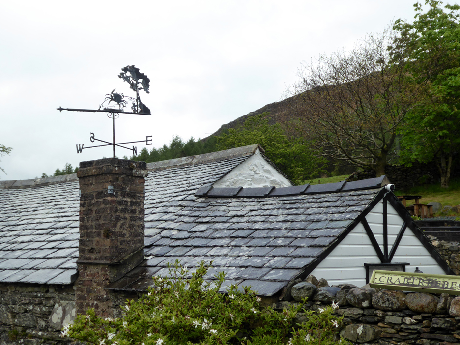
Crabtree Beck House has a lovely weather vane near the roadside.
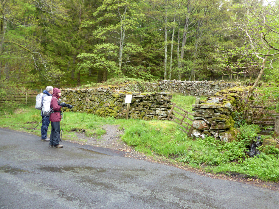
I'd give a pound for everyone who has asked me what this structure was ! [ The old Loweswater Pound or Pinfold where stray animals were stored pending their return to their rightful owners.]
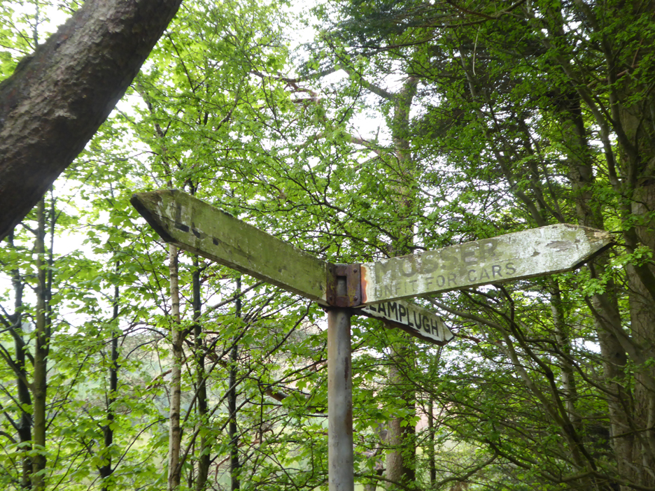
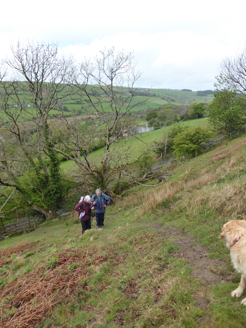
Unfit for cars . . . unfit for reading too ! We take the old Mosser Road which will lead us up towards Darling Fell.
The local farmer has done, what I've thought would be a nice thing to do for quite some time now. They have clear the overgrown end of the old track that leads from here on the Mosser Road, across the fields to Myresyke and Askill Farms. Traditional access been restored even though there is no public access along the route.
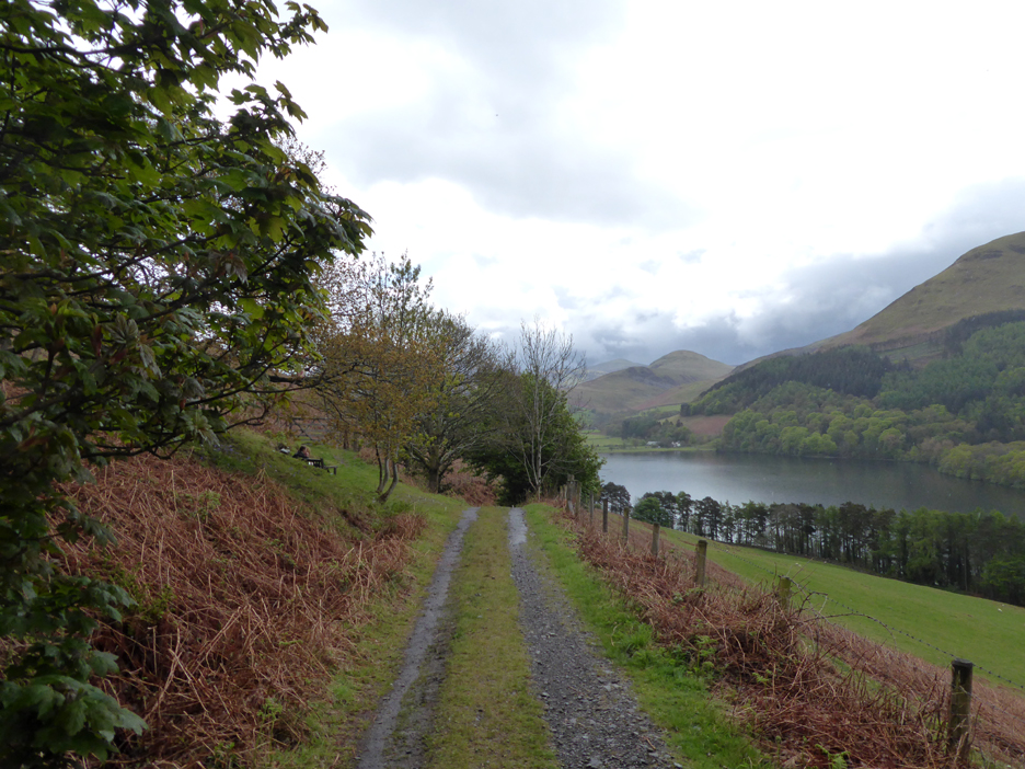
We pass Jon's Seat, suitably being used for someone's early lunch and look back at Hen Comb across the lake.
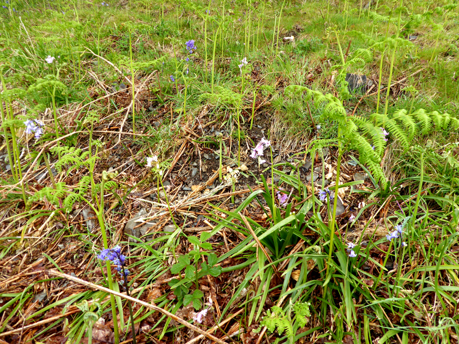
Not a vast display of bluebells in the hedgerow but we do have all three colours in close proximity, white, pink and blue.
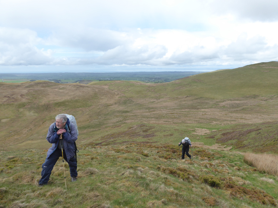
We stop for a photo . . . giving everyone time to catch their breath.
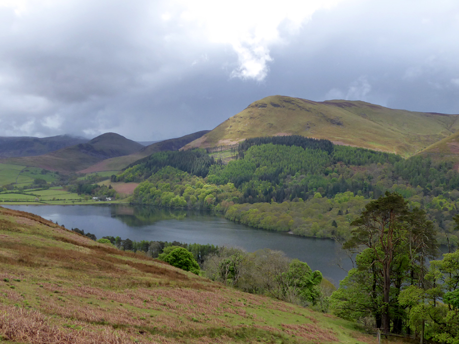
A gap in the clouds across the valley allows a ray of sunshine to be cast over Carling Knott. It causes a lighter streak of colour to be seen across the front of the fell and down onto the wood below. It also highlights a short term gap in the Loweswater Pheasant woodland caused by clearance due to larch disease.
After a steady climb we reach the top of Darling Fell. This more prominent cairn is actually to be found on the second summit, the better viewpoint for Crummock Water and the Buttermere Valley.
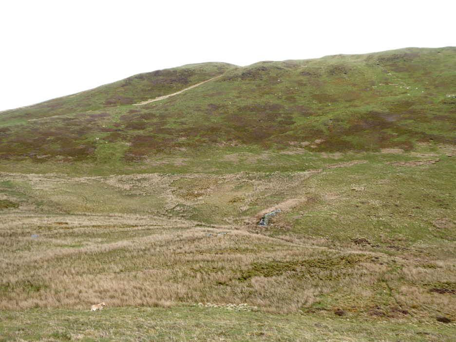
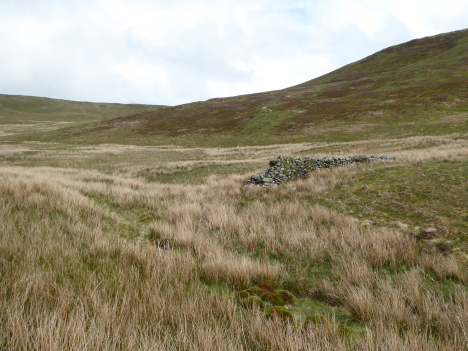
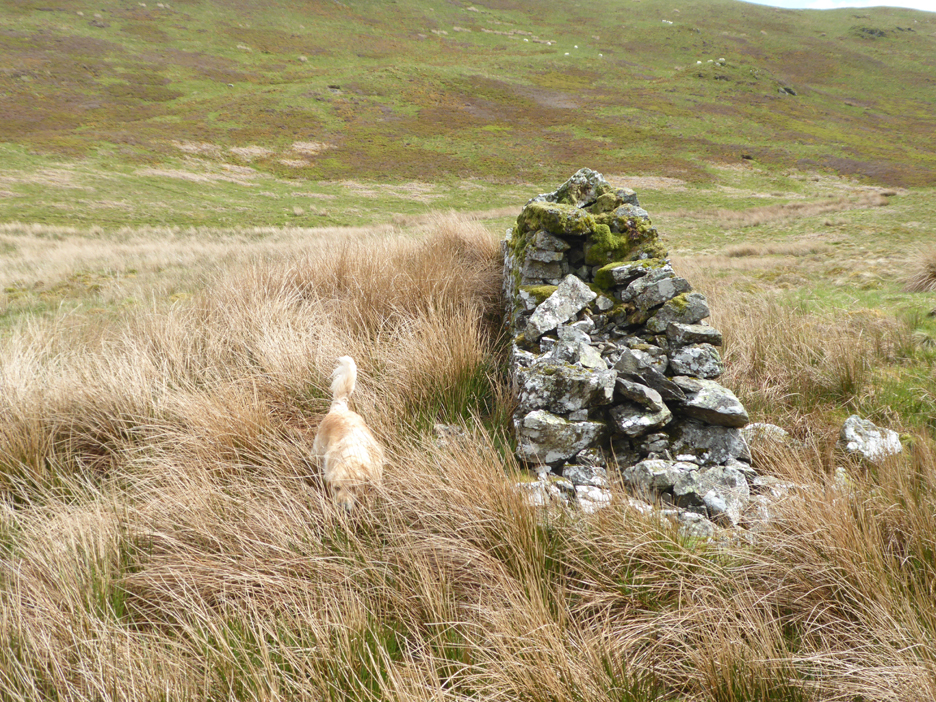
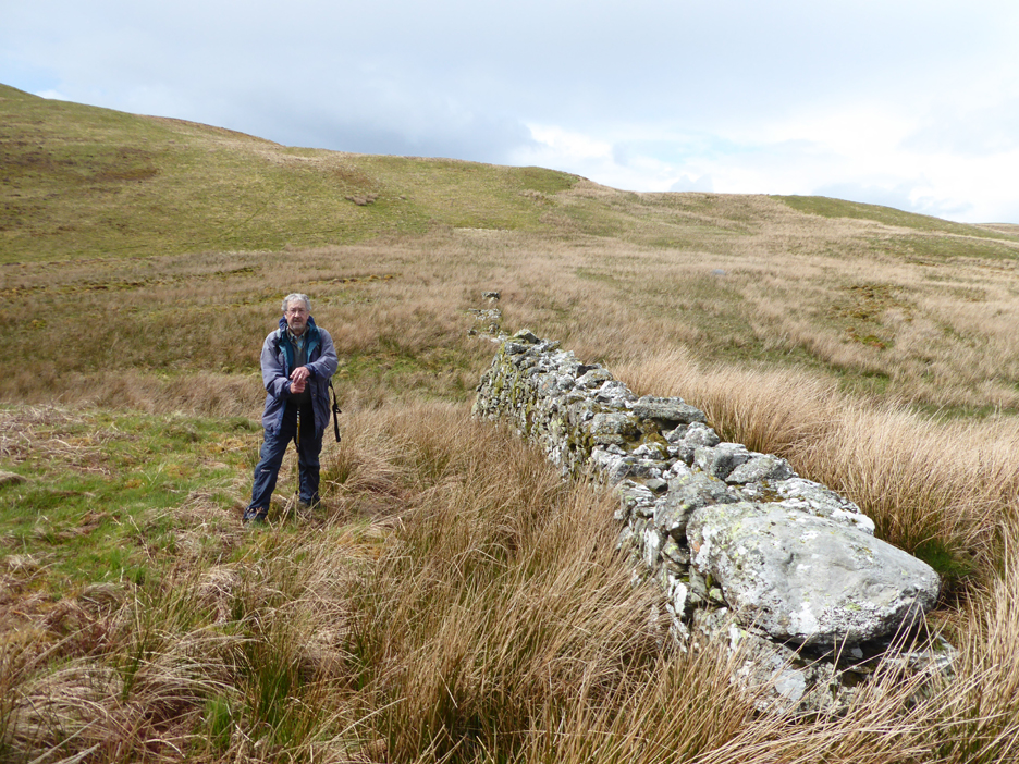
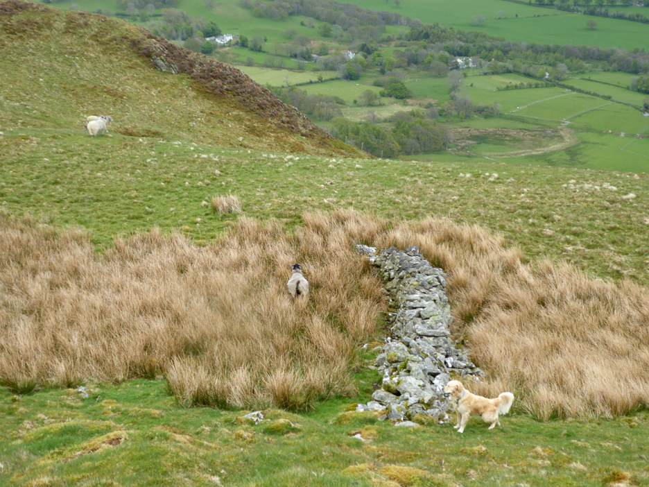
Rather than a steep descent to the beck below then a steep ascent to Low Fell we chose a longer, more gentle route. It would take us down to an old wall that crosses the lower part of Beckhead Moss.
This is what remains of what I believe to be the Beckhead dam that collapsed and flooded Crabtree Farm further downstream in 1828. More details of the incident can be found here courtesy of the Lorton and Derwent Fells Local History Society. [ For a fuller explanation check out the full Roy Greenhow Blogspot ]
This substantial wall had an earth bank to the left (upstream) side. It offered the chance of water storage and therefore the prospect of a more regulated supply of water to the water wheels of the old Loweswater Lead Mine.
However a large section of the wall is missing, indicating to me the possible cause of the 1828 flood.
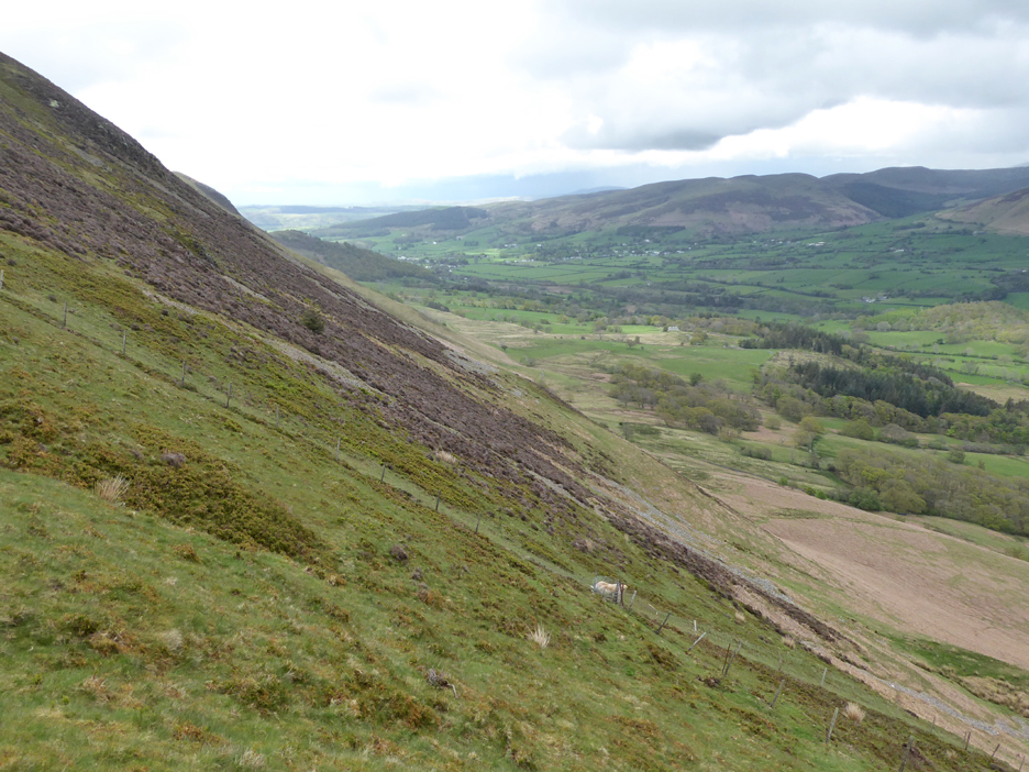
From the old wall in the base of the valley we are faced with another, slightly less steep climb to reach the Low Fell Ridge.
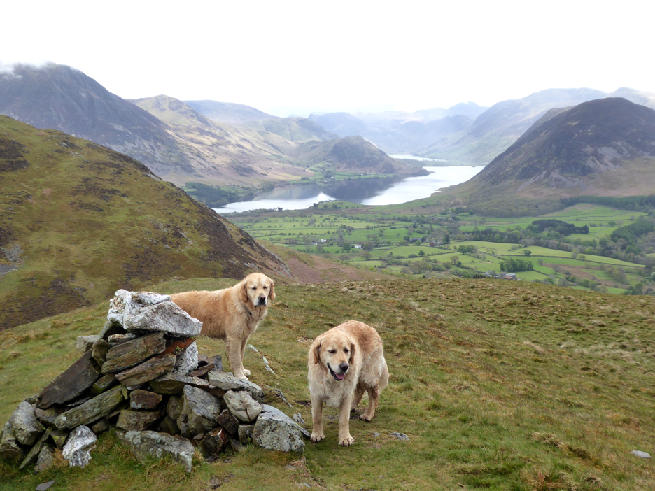
However the choice of route does bring us nicely up to the summit cairn of Low Fell.
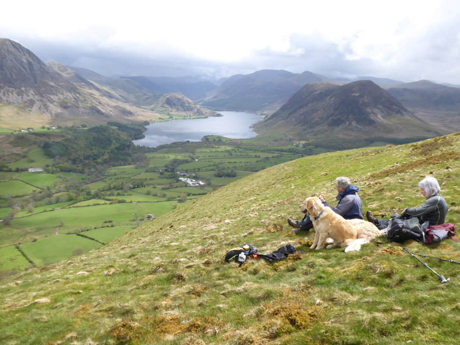
A brief period of warm sunshine cheers the spirit and allows us a leisurely lunch just a short distance from the top. Here we are away from the path and can enjoy that rather special view up to the high fells.
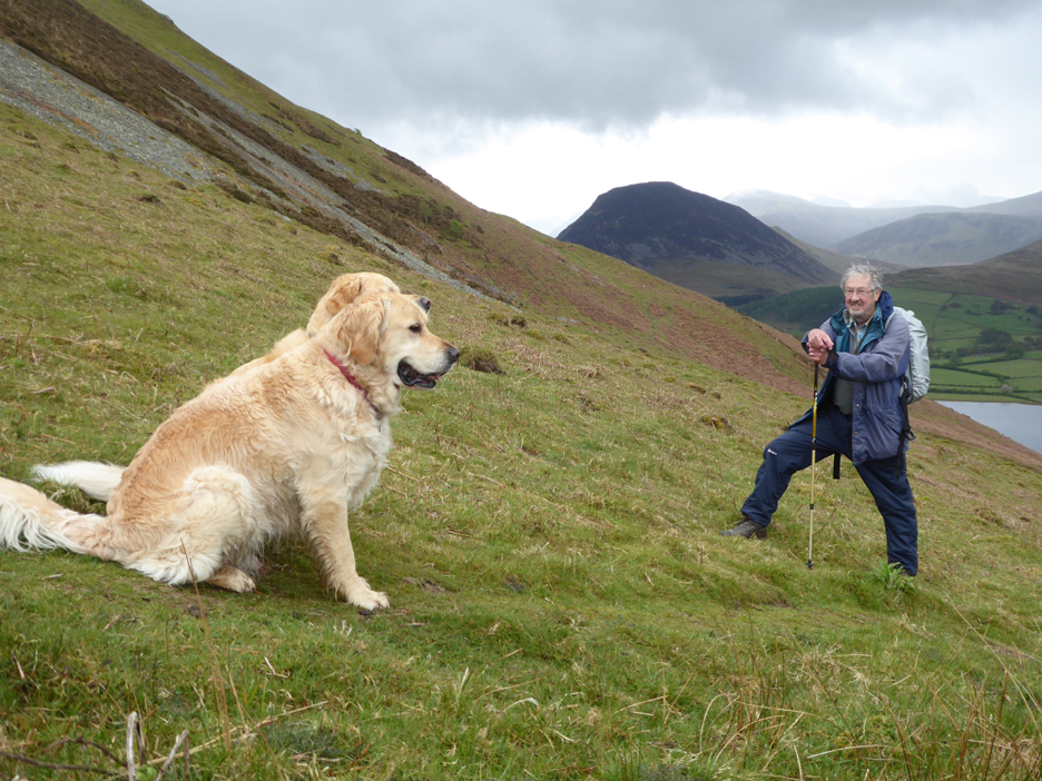
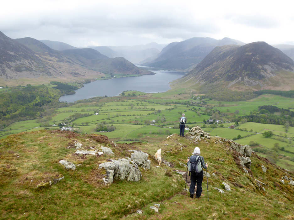
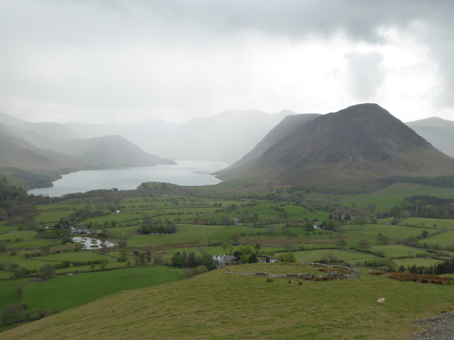
We're up on Dick Roger . . . the southern viewpoint of Low Fell. Ahead is Crummock Water and the heather covered northern end of Mellbreak. The sunshine has departed and a shower can be seen sweeping across the top of the Buttermere Valley.
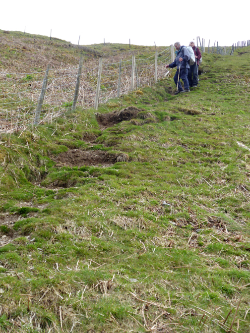
We need to drop down the steep fell side if we want to visit the Lonesome Pine, Hilary's next objective. Another short wall below our route, but this one is a small one, probably an old shelter for sheep caught in a winter squall.
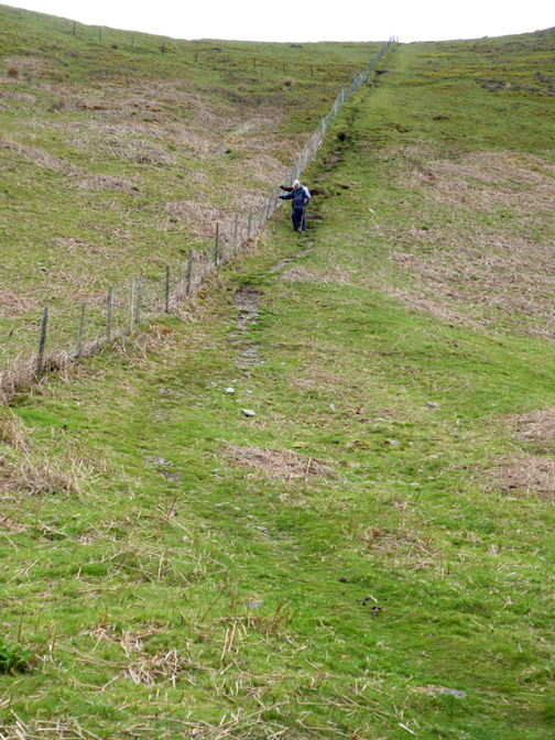
One of the steepest public footpaths of the district can be found adjacent to the fence line.
The path takes us ever closer to the circular sheep fold found on the flat outcrop on the side of the fell. However, the rain that was held at the top of the valley until recently, is also getting closer to the same sheep fold.
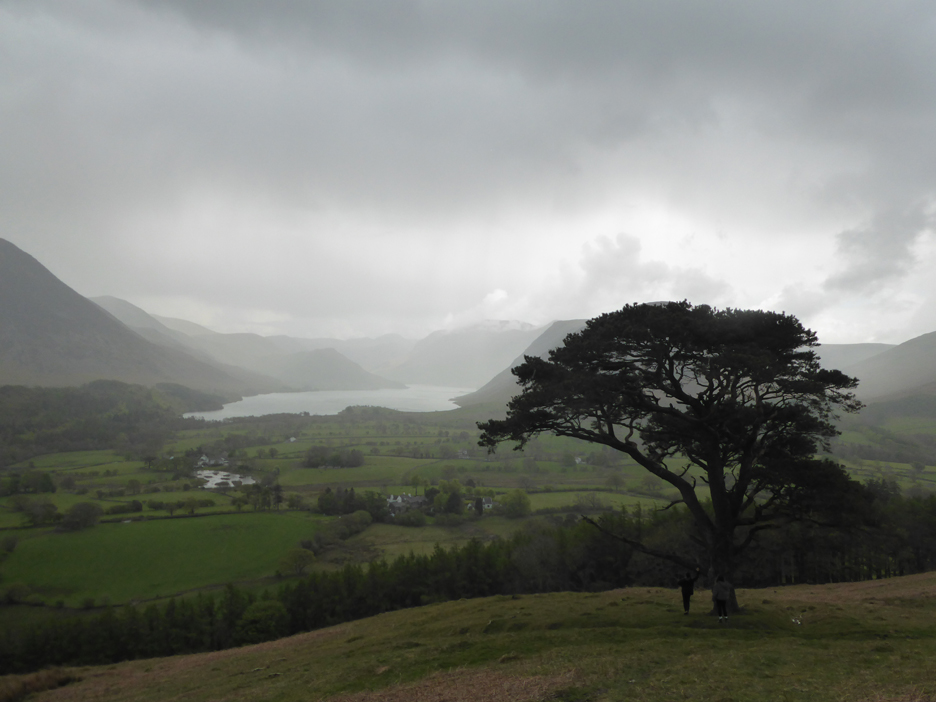
By the time we reach the Lonesome Pine the skies are getting darker and the air is feeling damp.
By the time we reach the road at Foulsyke our waterproof clothing was earning its keep. Still, there are only two fields to cross before we have a roof over our heads and a cup of tea in our hands. - - - o o o - - -
- - - o o o - - |
|
Technical note: Pictures generally taken with my a Panasonic Lumix TZ60 Camera. Resized in Photoshop, and built up on a Dreamweaver web builder. This site best viewed with . . . lunch with a view. Go to Home Page . . . © RmH . . . Email me here Previous walk - 15th May - Up and Over Mellbreak A previous time up here - 26/27th May - Darling Fell Traverse - Hilton and Vanessa Next walk - 18th May - The Real Rannerdale Bluebells 2021
|