![]()
Remember: Press F11 for a full
screen view of this page.
Web Counter when published 1 884 040
|
|
|
|
Remember: Press F11 for a full
screen view of this page. |
Web Counter when published 1 884 040 |
|
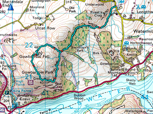
" Gowbarrow from the East " Date & start time: 16th April 2021. 11.15 am start. Location of Start : Near Watermillock Church, Ullswater, Cumbria, Uk. ( NY 431 232 ) Places visited : Watermillock, Shooting Lodge, round Gowbarrow and return. Walk details : 6 mls, 1200 ft of ascent, 4 hours at a nice, leisurely rate. Highest point : Gowbarrow Fell, 1,579ft - 481m. Walked with : Jo and the dogs, Amber, Dylan and Dougal. Weather : Sunshine but rather hazy. |
© Crown copyright. All rights reserved. Licence number PU 100034184. |
|
Gowbarrow is a delightful stand-alone fell overlooking Ullswater and today I have the chance to walk it with Jo. She is now able to visit the Lakes once again and stay at her own chalet caravan during her visit. The delightfully sunny Easter walking weather continues, even if it is rather hazy. - - - o o o - - - To set the scene I go back a few days . . .
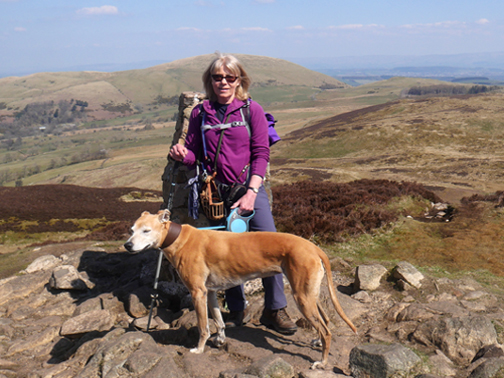
Monday 12th and I joined Cathy (and Mark) as they had a quick climb up Sale Fell prior to leaving for home. This is Cathy on the summit on her last day in the Lakes for a while.
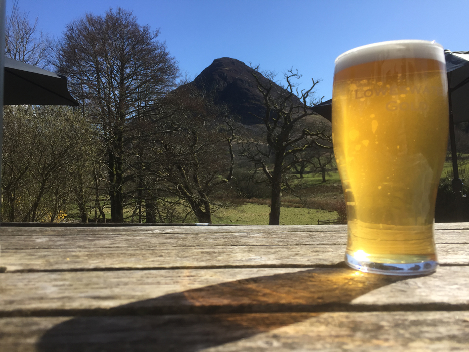
April 12th was auspicious too in that it was the first day pubs were allowed to open again provided that they only provided table service outdoors. After returning from Cathy's walk I pop along to the Kirkstile, just to support local industry of course !
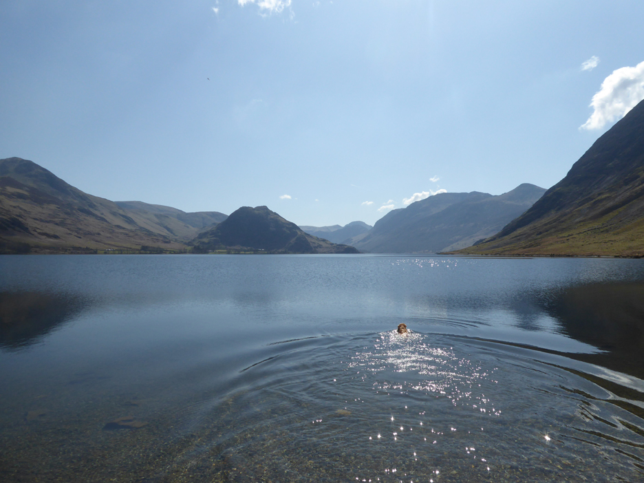
Mediterranean blue as the sunny weather continues. Sadly the water temperature fails to impress, as April has been such a cold month, so no healthy dip for me.
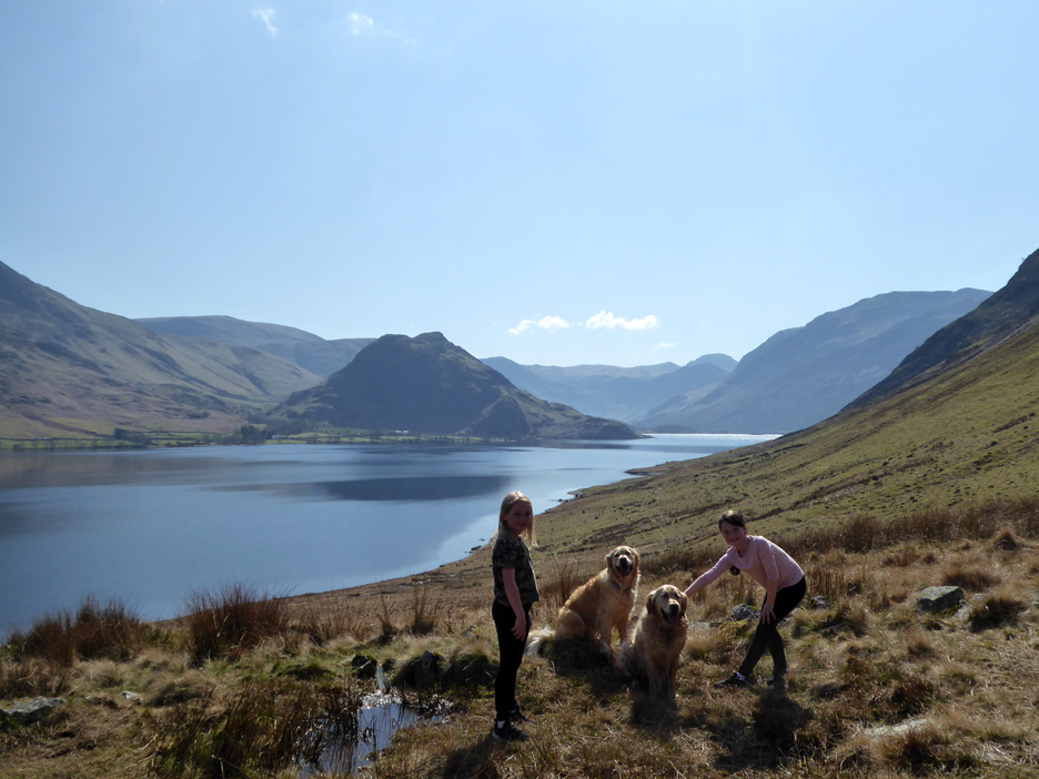
A photo was requested when the McGuire (?) girls stopped to say hello to Dylan and Dougal. [ Apologies if my memory is poor on remembering their correct name. Do let me know if I'm wrong.] - - - o o o - - - On the Friday the weather was still fine (if a little hazy) so with a drink, sandwich and suncream in a small pack I find myself over in Ullswater to walk with Jo for the first time this year.
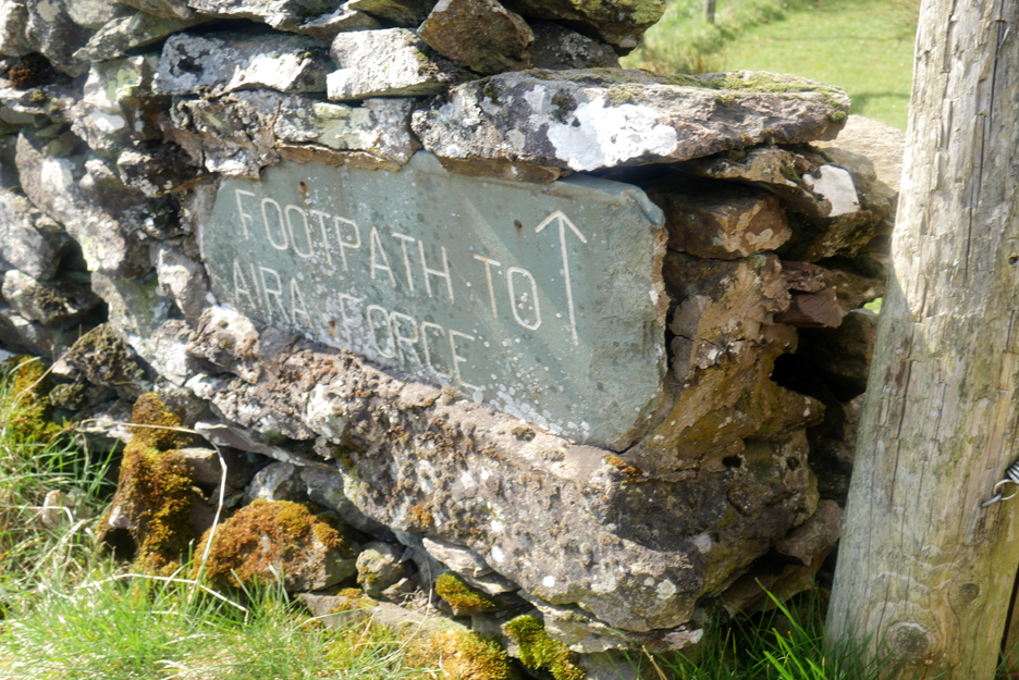
Historically folk were directed not to the fells but to the more spectacular landscape feature of the waterfall. Before you reach Aira Force you've got to walk around or over Gowbarrow Fell, the summit of which is our objective today.
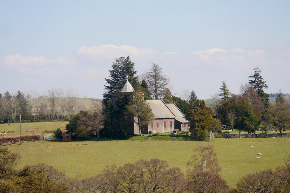
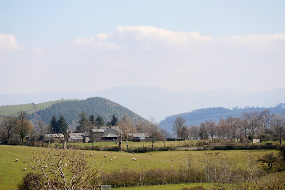
Watermillock's All Saints Church seen across the fields, photographed from the path close to the Priest's Crag area of Little Meldrum Fell.
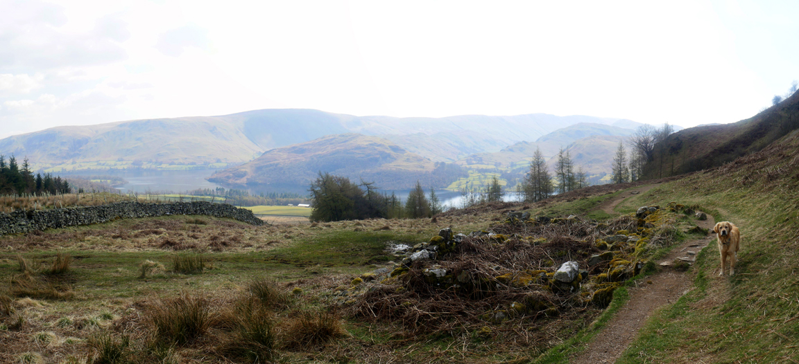
High Longthwaite Farm and the woods near the lower end of Ullswater, looking towards Pooley Bridge.
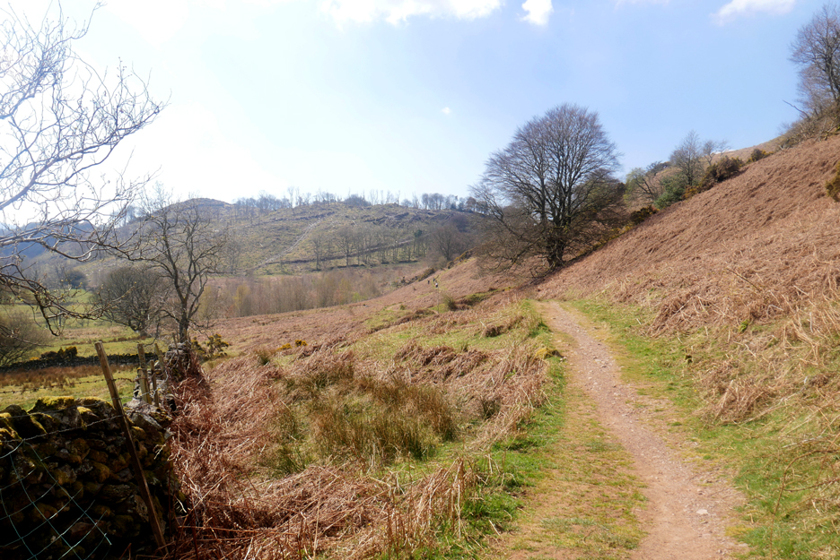
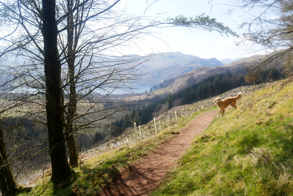
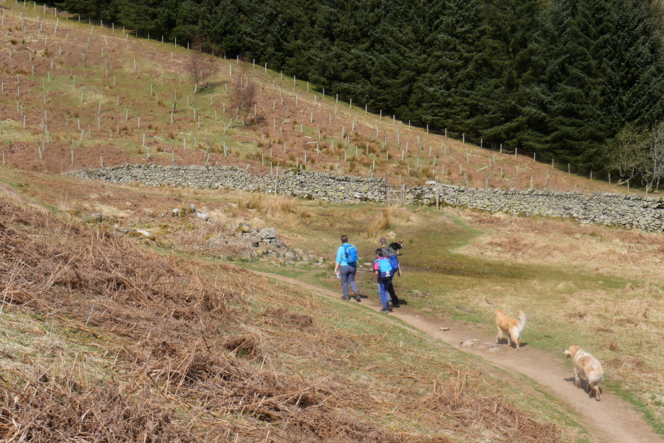
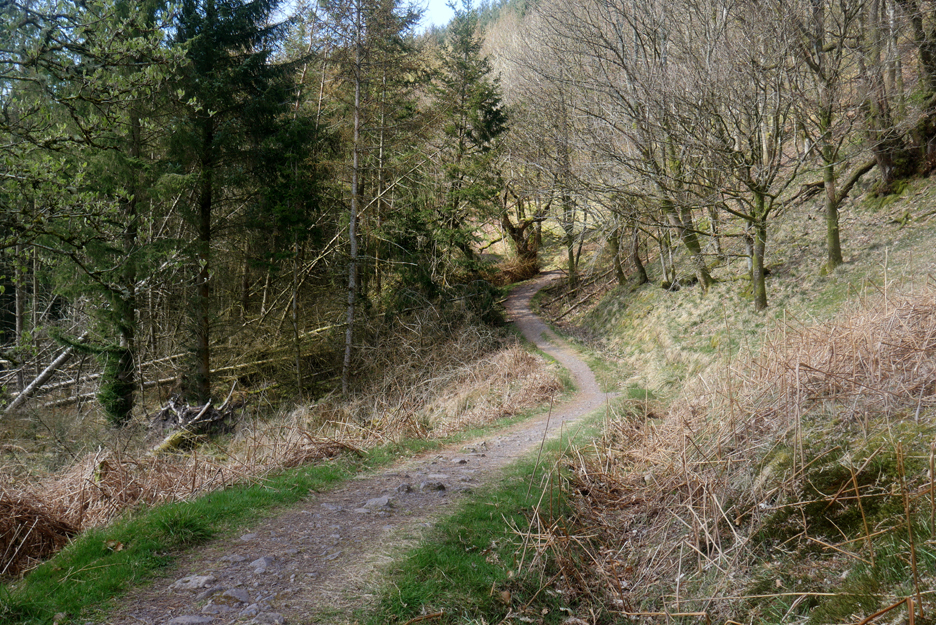
The path, which is part of the relatively new Ullswater Way, is easy to walk.
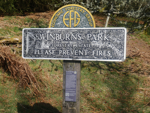
The start of the trees of the Swinburn's Park, this area looks to have been planted a while back but hasn't grown much.
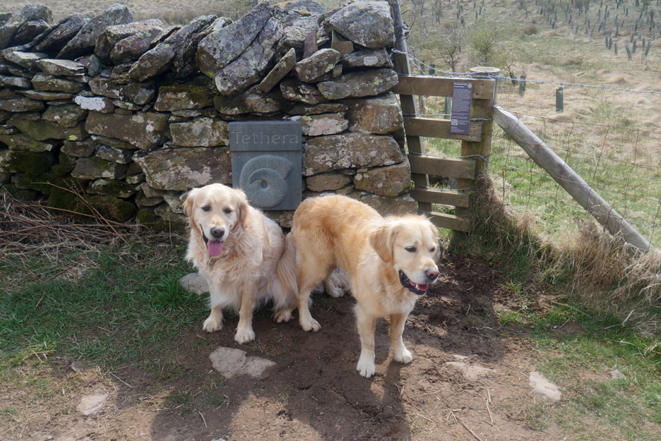
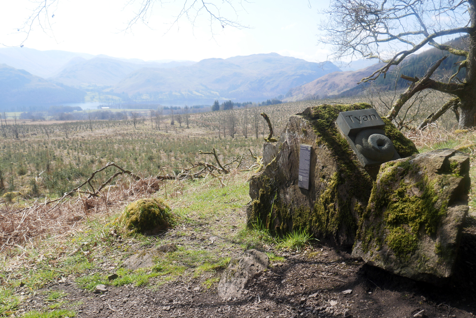
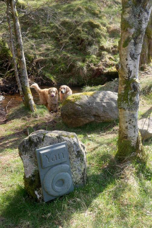
A slate plaque on the wall is the third of three artistic stone sculptures. The swirl represents the Herdwick sheep's horn and Tethera is Cumbrian for Three . . . one and two will follow later. The sign on the fence tells more.
Difficult to tell if it is new planting or re-growth from an old clearance.
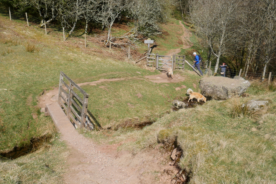
Sculpture number Tyan (Two) on a large rock at the head of Swinburn's Park.
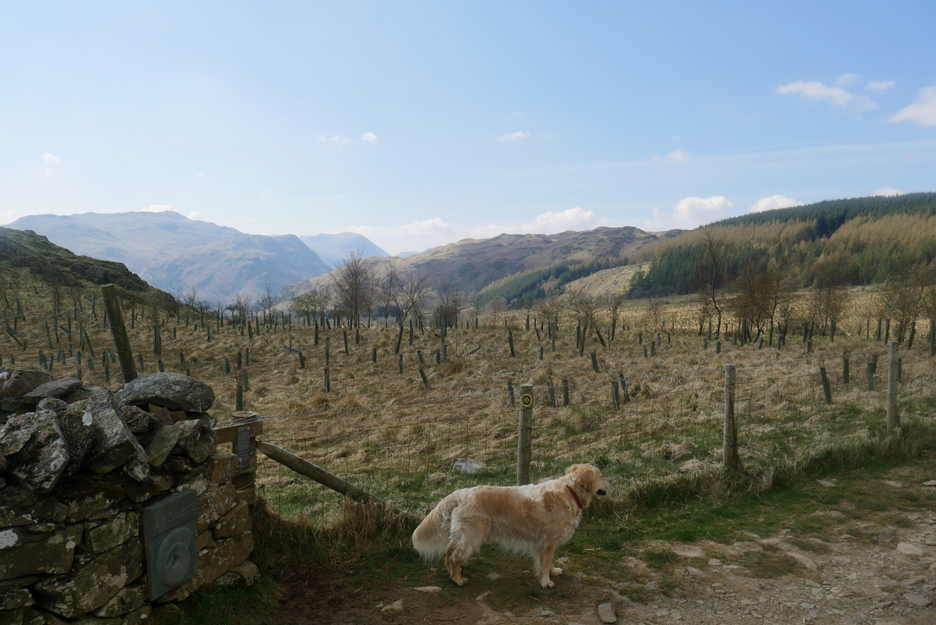
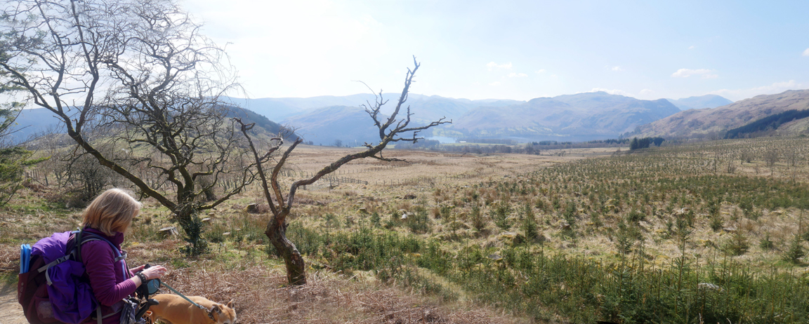
New planting just a little further on, the new growth safe within their environmental protection tubes. The path has been gradually rising so our view of the lake is becoming more expansive as we go along.
The path brings us out onto Gowbarrow at the old hunting lodge on the eastern side of the fell. There's a lot less standing now that there was in the 2009 pictures I've linked to at the bottom of this page. - - - o o - - - We turn right and start a slightly circular walk to the summit.
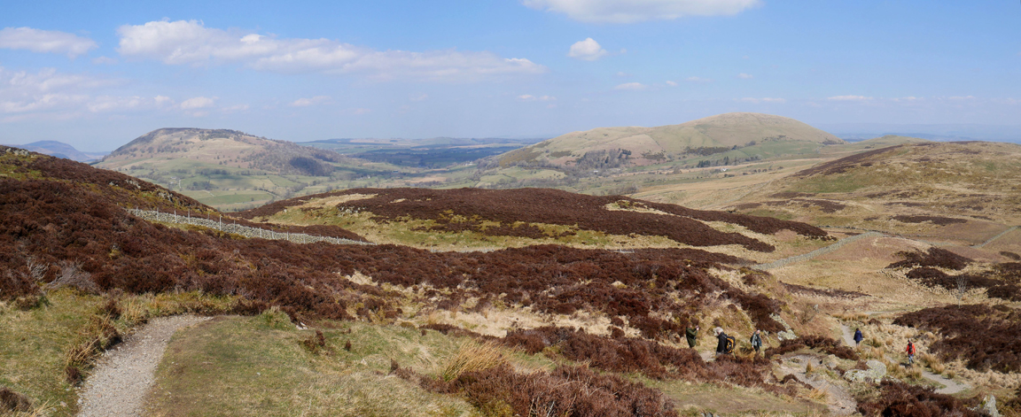
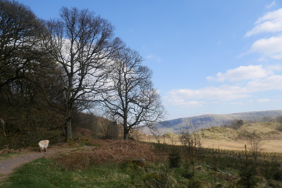
Looking across at the Mell Fells as the path climbs towards the top.
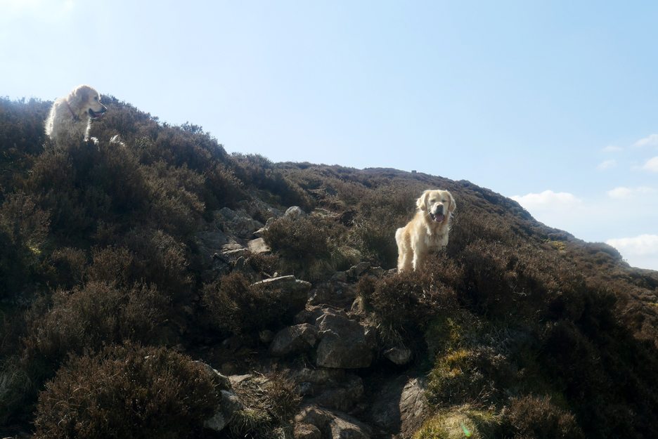
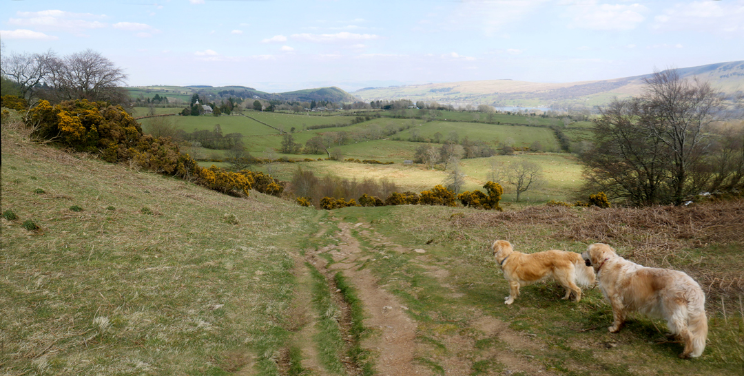
The dogs favour the more direct route and we follow, which involves watching where you put your feet.
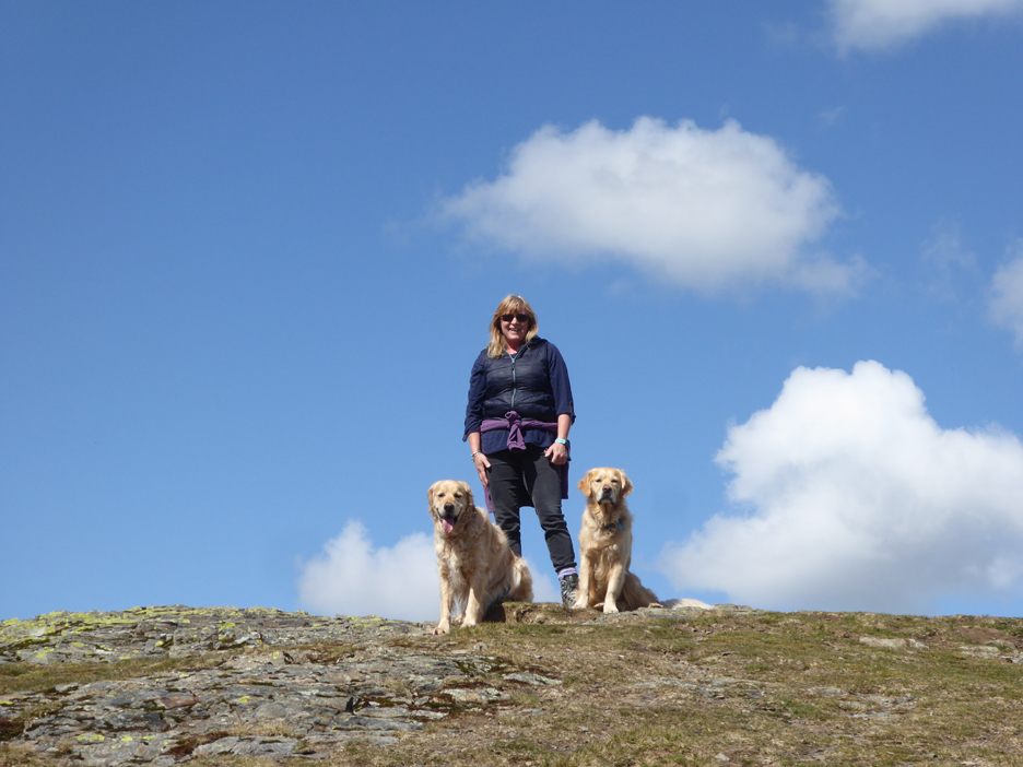
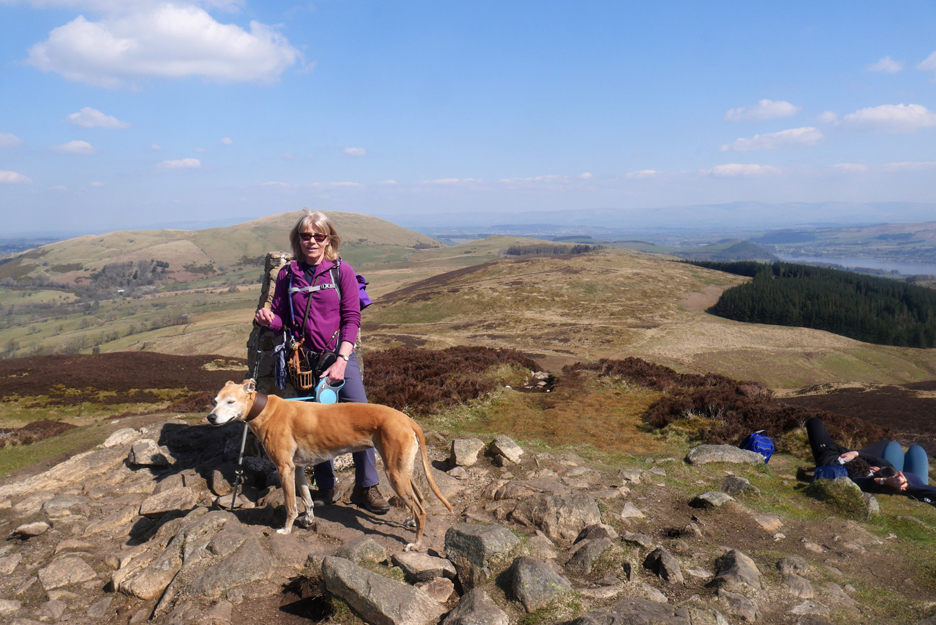
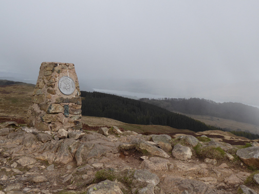
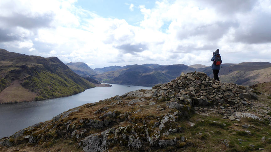
All routes up eventually lead to the summit where you'll find Jo standing by the cairn. (Bear in mind that she may have gone by the time you get there.)
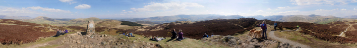
Well there you go . . . at least you can check out the trig point in this bigger picture ! Click here or on the photo above for a 360 degree annotated panorama.
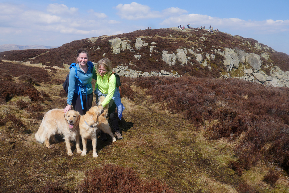
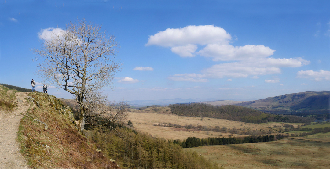
On the top we met these two young ladies [one just a little younger than the other ;o) ] Emily and Jackie wanted to say hello to the dogs and I promised a photo . . . so here you are . . . famous for five minutes ! [ Technically the pictures are here for ever, so you'll be famous as long as you keep looking at this page. ]
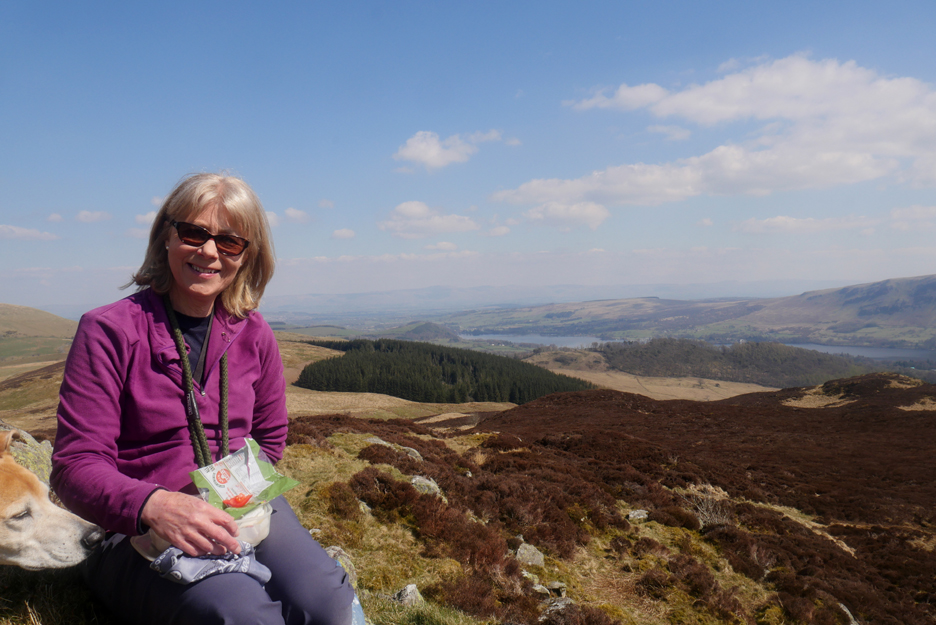
We've moved away from the more crowded summit to enjoy our lunch, finding a couple of conveniently placed rocks to provide us with comfortable seating.
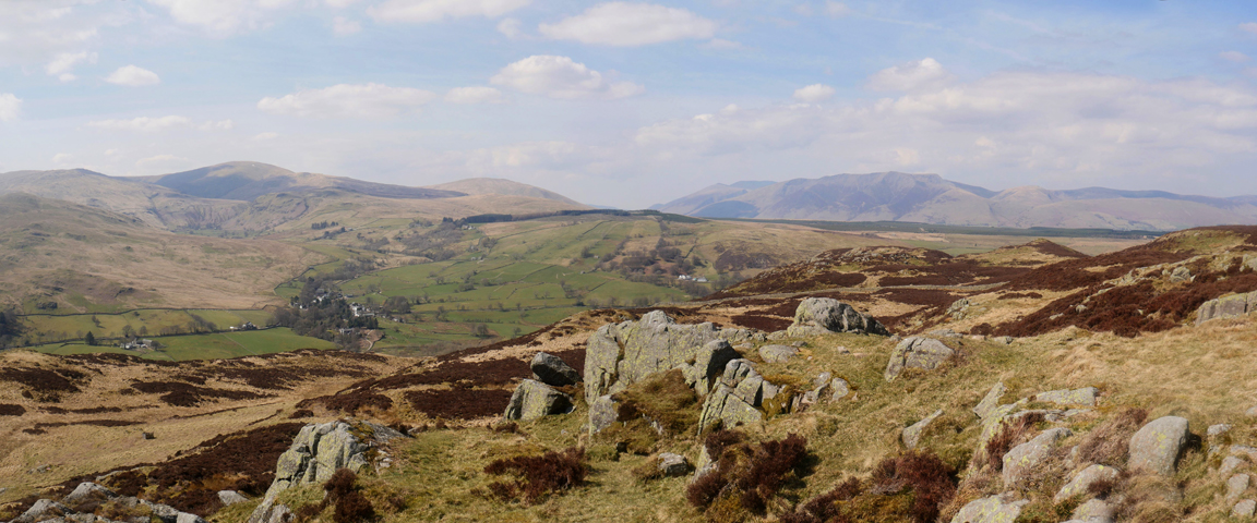
Our lunch spot also conveniently gave us lovely views all round. This was the aspect to the north west . . . picking up The Dodds, Clough Head and The Skiddaw Fells.
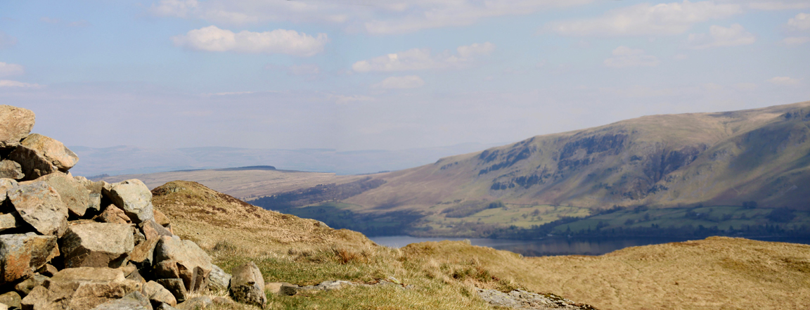
Ahead of us the slightly hazy view into the sun of Glenridding, with St Sunday Crag behind.
To our left The Pennines, less distinct due the extra distance across the Vale of Eden.
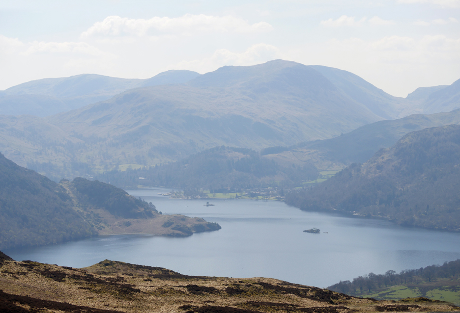
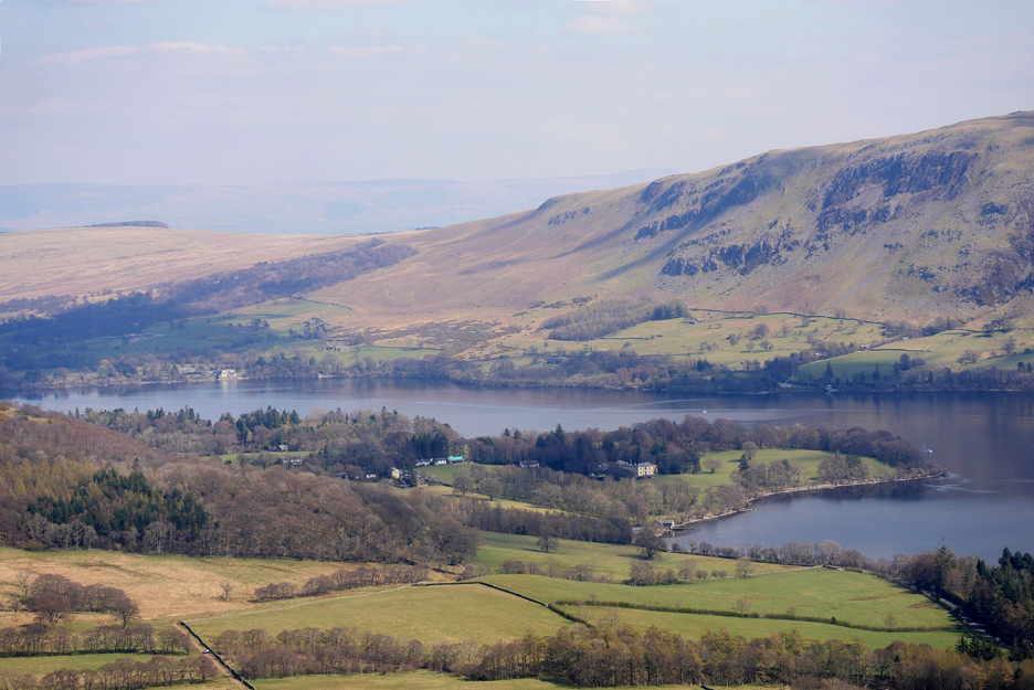
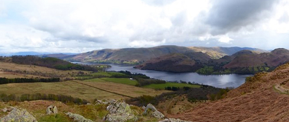
We progressed to the southern edge of the fell by crossing the middle of Gowbarrow. Here we could look down on the similar Glenridding view, but this time the view included Lyulph's Tower
The building, a castle to the front but a house to the rear, seems to be undergoing slight repairs to the side tower. It was built in the 1780s by Charles Howard, the 11th Duke of Norfolk, as a hunting lodge. It was named after the Viking settler Lyulph, giving rise to the lake being called Ulf's Water and ultimately Ullswater. [ More on Lyulph's Tower here ]
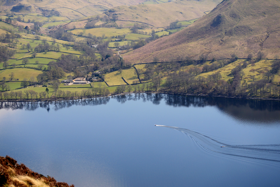
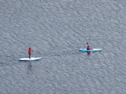
Too small for the Ullswater Steamers and confirmed when this small boat deviated from a normal straight route up the lake. We are looking here across to the area around Sandwick Bay and the bottom of Sleet Fell.
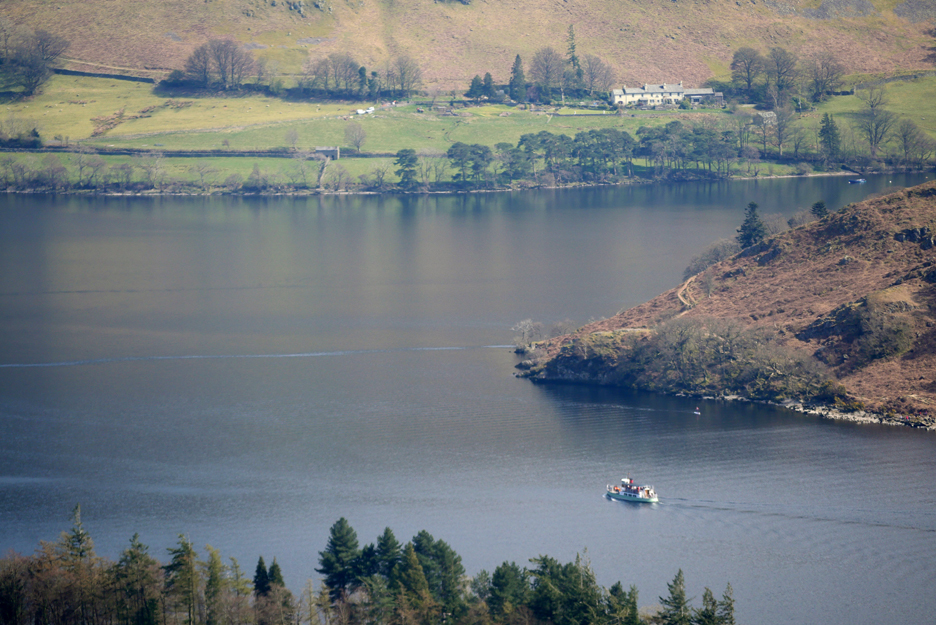
Now that one is an Ullswater Steamer operating a reduced service at present, but good to see they are operating at all. Lady of the Lake was launched on 26th June 1877 and she is believed to be the oldest working passenger vessel in the world
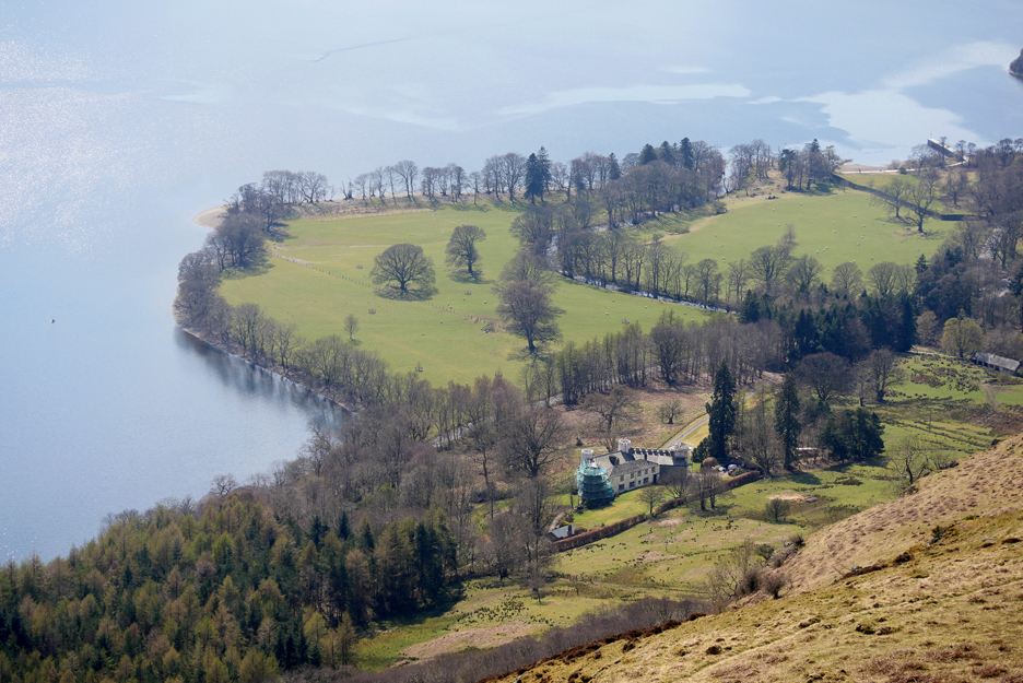
The Outward Bound School on peninsular next to Gowbarrow Bay and behind it on the far shore you can see the famous Sharrow Bay Hotel.
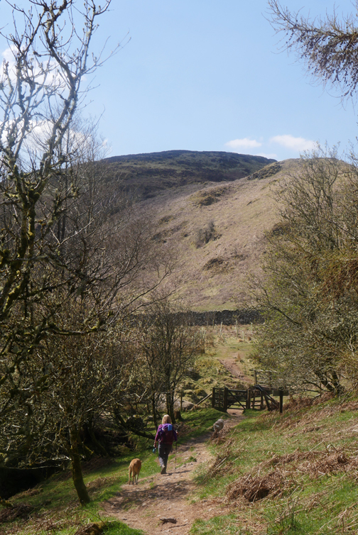
From the high ground at the front of the fell we found a reasonably gentle grass slope that took us down to the path that has climbed up the side of the fell from Aira Force.
Following the path we find ourselves back at the ruins of the hunting lodge.
We progress along the path . . . counting our steps . . . Yan, Tyan, Tethera.
The Ullswater Way path is, in places, the same machine-made construction as the Sail Fell path that I walked recently (and that I hate). However, here in the woodland, the raised path has blended beautifully into the environment.
The Watermillock Church is back in view so we must be heading in the right direction.
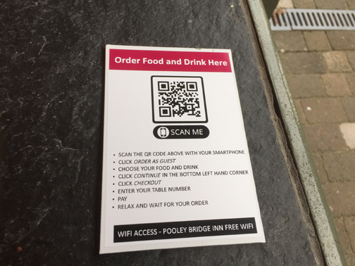
I used a clean dog poo bag to save a few and transplanted them to a stream later to earn myself environmental brownie points at the end of a lovely walk. - - - o o o - - - After a phone call to check, we drove over to Pooley Bridge to complete the day in more traditional manner.
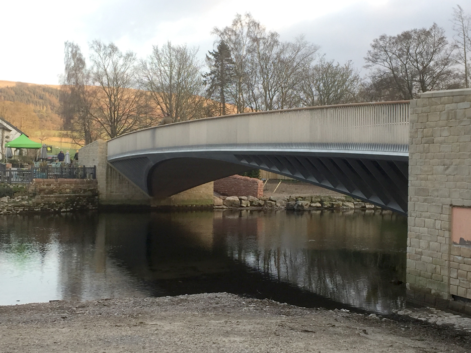
We headed over to the Pooley Bridge Inn . . . crossing the village's smart new bridge opened just last October.
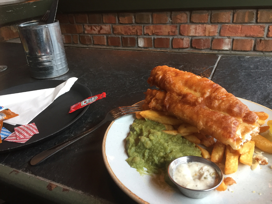
Brilliant (if a bit impersonal) . . . two minutes later a tray of specified drinks arrived as if by magic. Soon a classic plate of Fish and Chips followed and it was so good I just had to test some of it before taking this photo. Don't panic, Jo had her own serving but it is not featured in this picture. - - - o o o - - -
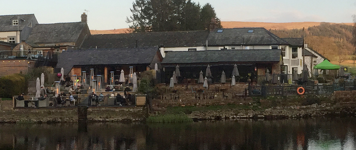
After our meal we headed back to the riverside car park. The Crown Inn opposite was serving food but the Granny Dowebekin Tearooms seem to be shut this evening.
The wider picture of early evening Pooley Bridge.
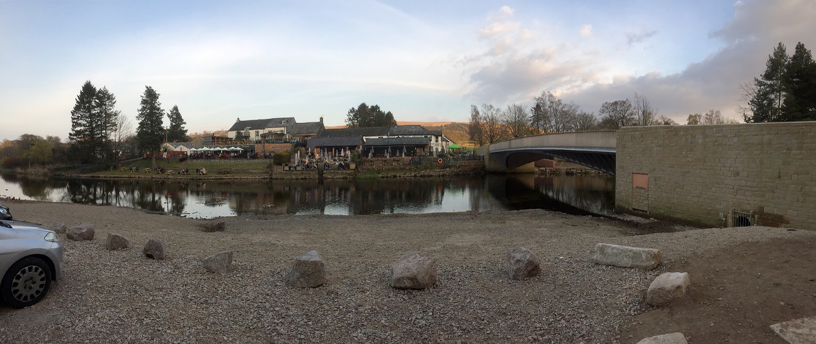
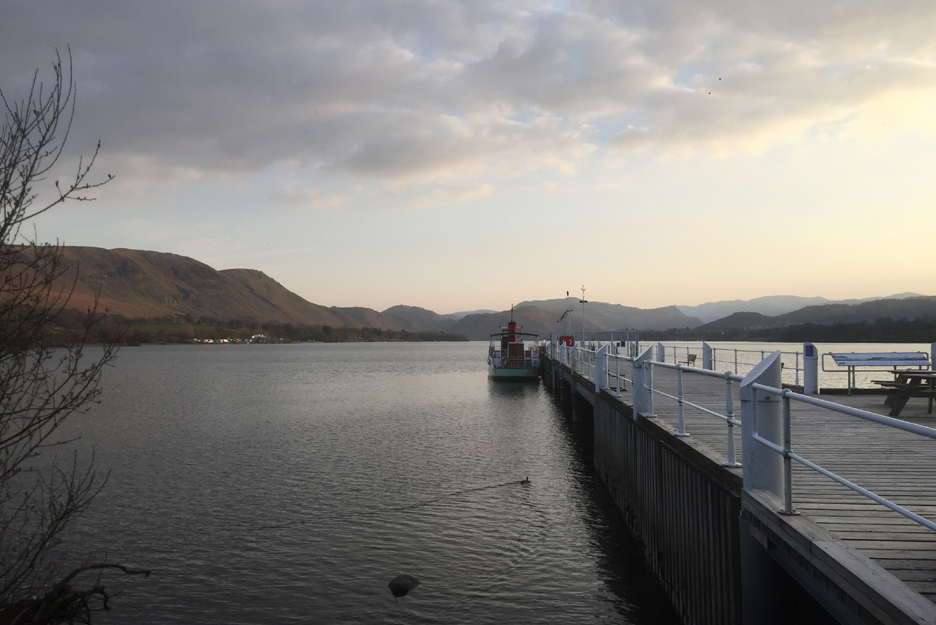
As we head for home we have one last view of the lake and "The Lady" moored up for the night at the pier. - - - o o o - - -
|
|
Technical note: Pictures generally taken with my Panasonic Lumix Gx8 Camera. Resized in Photoshop, and built up on a Dreamweaver web builder. This site best viewed with . . . pleasant surprise at the power of a QR Code. Go to Home Page . . . © RmH . . . Email me here Previous walk - 11th April - Four Seasons Causey Pike A previous time up here - 14th February 2009 An OFC Walk around Gowbarrow Next walk - 16th April - Ling and Sale Fells with Ian
|