![]()
Remember: Press F11 for a full
screen view of this page.
Web Counter when published 1 862 299
|
|
|
|
Remember: Press F11 for a full
screen view of this page. |
Web Counter when published 1 862 299 |
|
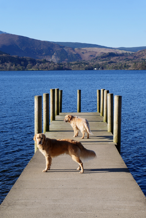
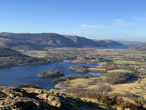
" Round Derwent Water with Julie " Date & start time: 11th February 2021. 11 am start. Location of Start : High Portinscale, Keswick, Cumbria, Uk. ( NY 250 236 ) Places visited : Nichol End, Brandlehow, Lodore, Friars Crag, Keswick, Portinscale. Walk details : 10 mls, 650 ft of undulating ascent, 5 hours. Highest point : Completing the Round. Walked with : Julie and the two dogs, Dylan and Dougal. Weather : Sunshine and blue skies, a cool breeze at times. |
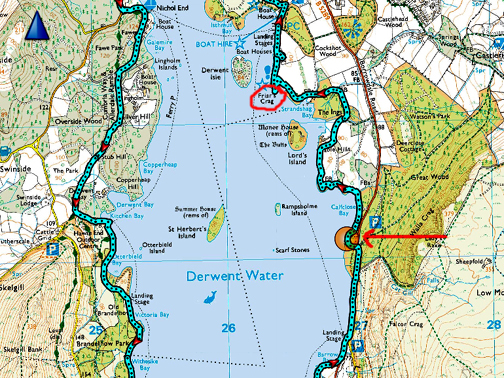
© Crown copyright. All rights reserved. Licence number PU 100034184. |
|
Despite having retired from George Fishers five years ago (!) I still keep in touch with colleagues and recently Julie contacted me to see if I fancied a walk. The forecast for the day was fine and a plan was put in place. Over the years I have walked many of the sections for the Derwent Water path but never actually walked it in its entirety. Today would be the chance to do that . . . a full circuit of Derwent water.
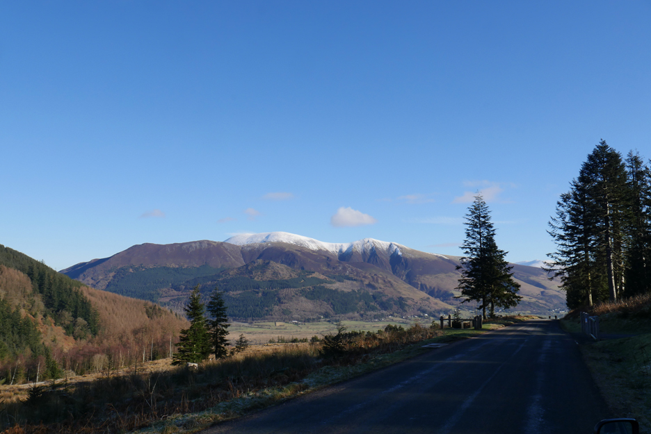
Skiddaw ahead as I drove over the Whinlatter Pass . . . the weather for the walk was cool but sunny . . . perfect. - - - o o o - - -
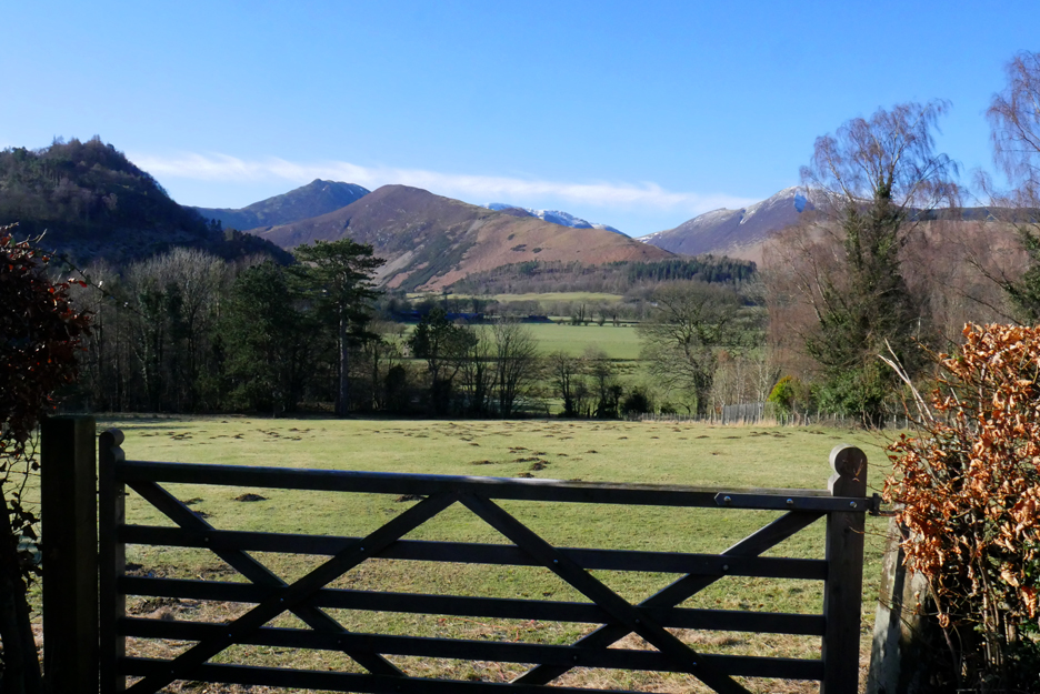
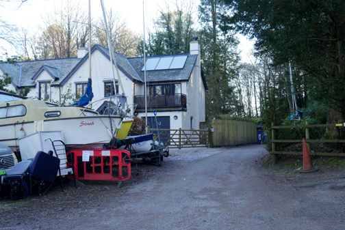
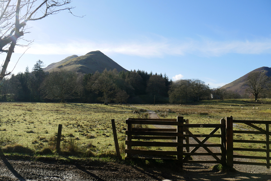
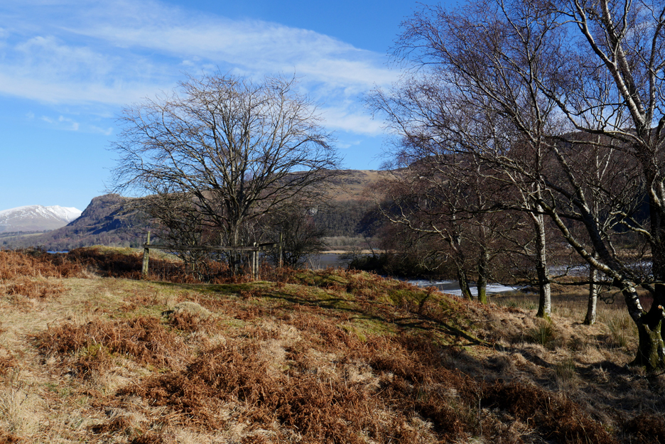
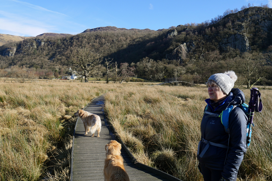
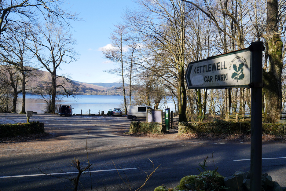
After meeting up at Julie's Portinscale house we set off for the lake path. Through the gate on the back road of High Portinscale we could see over to Barrow, Causey Pike and the Newlands Valley.
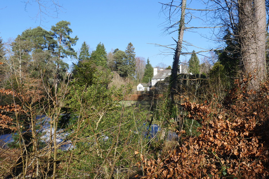
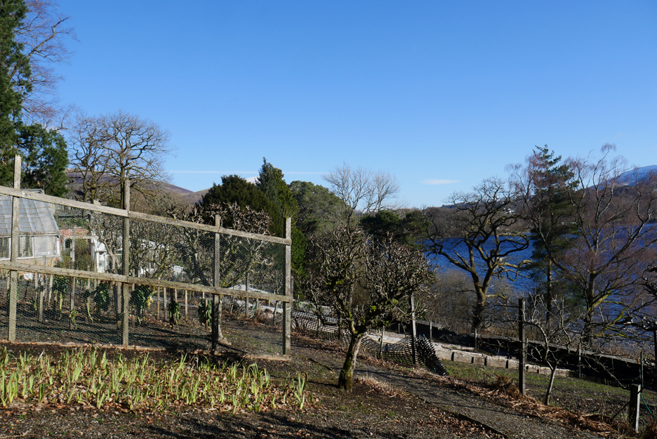
The garden pond, belonging to one of the houses in Lingy Acre, had completely frozen over. In recent years the hedge has grown too, so the view over to the pond is not as clear as it used to be.
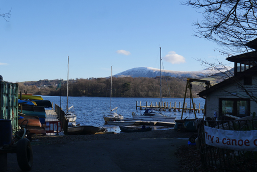
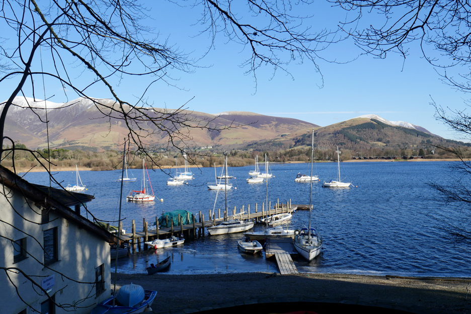
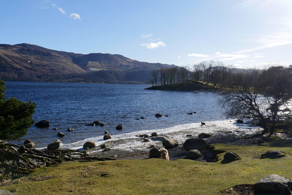
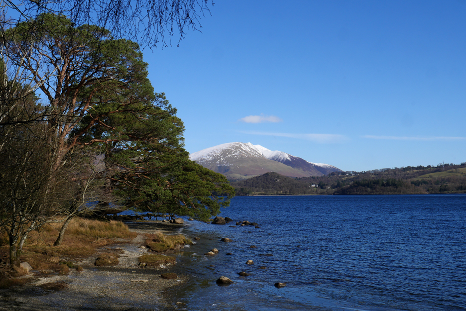
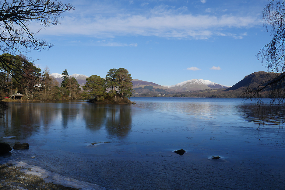
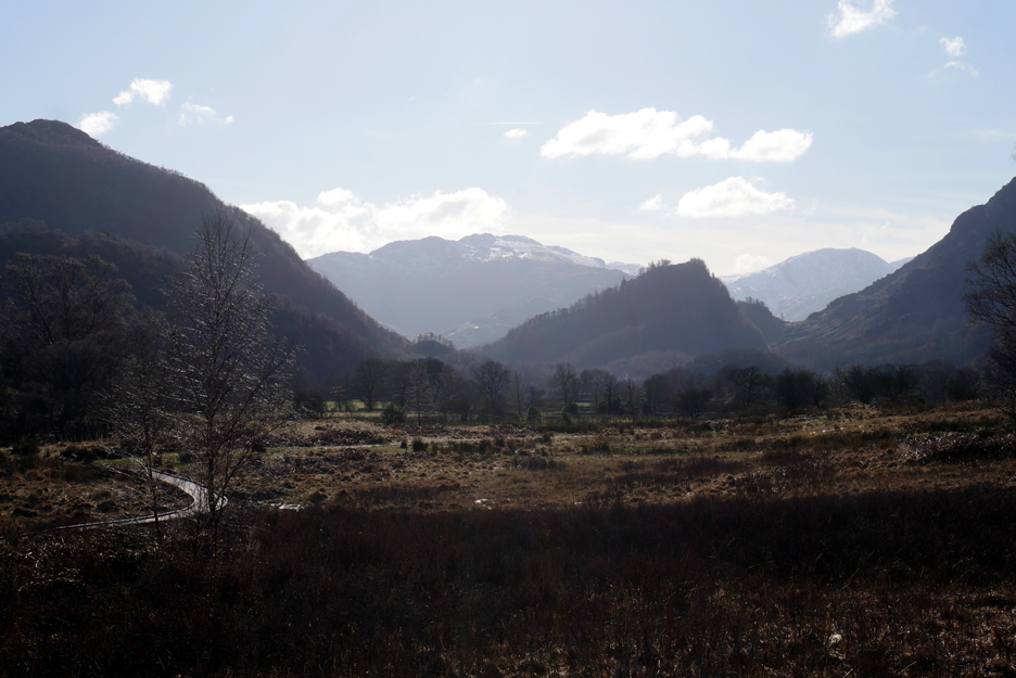
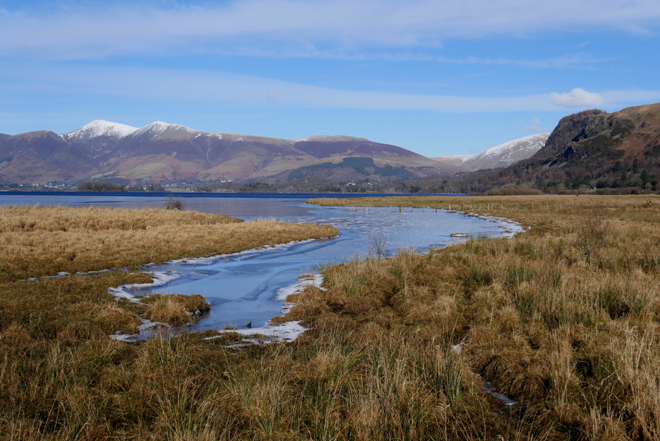
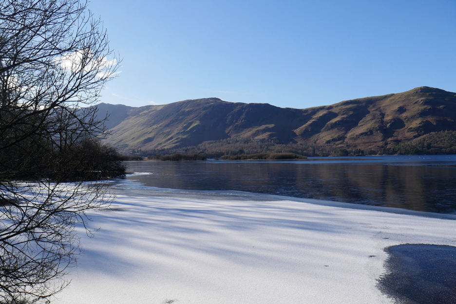
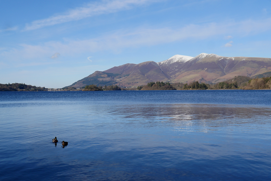
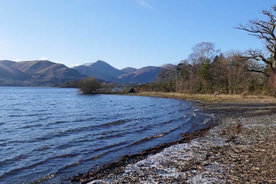
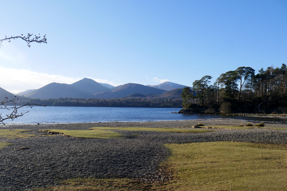
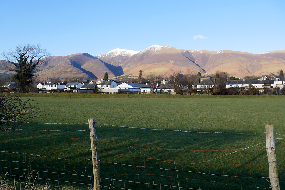
Here we were able to get our first clear view of the lake and the fells around. It is mid February and there's snow on the high fells, Skiddaw to the left and Blencathra away to the right.
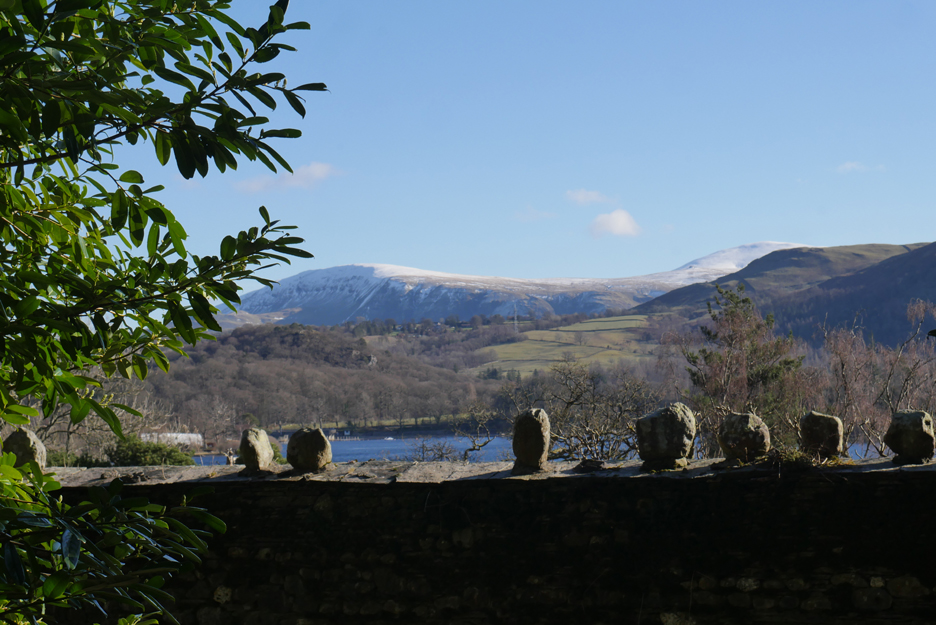
Likewise Clough Head and the Dodds on the Helvellyn Ridge have a winter mantle A high wall with decorative stones hides the walled garden of Fawepark House next to our path.
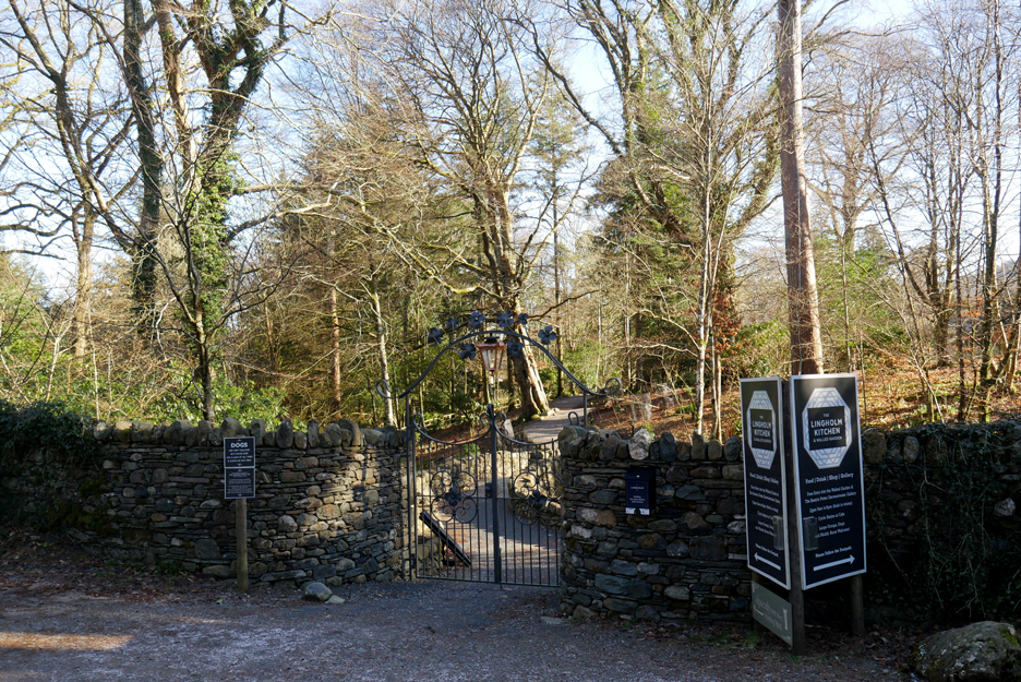
Next up was the entrance to Lingholm Gardens. Here they have their famous octagonal walled garden and excellent tea rooms (currently closed of course).
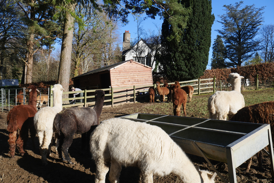
Lingholm Farm is also famous for its Alpacas.
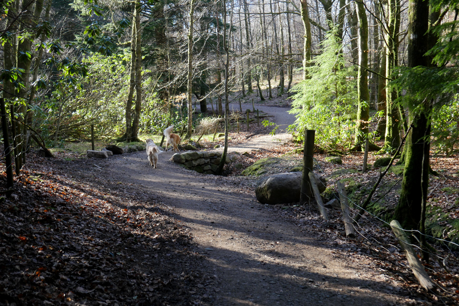
The undulating path now meanders delightfully around the back of the Lingholm Gardens heading once more for Derwent Bay and the lake.
Ahead is the distinctive outline of Catbells seen over the fields of The Park (Lingholm Meadows) as we walk across the road that leads to Derwent Bay. A while back this used to be the home of the Derwent Bay Bears, but they have moved on now and can be found nearer Penrith. It transpires that one of the original carvers has left and set up his own company called Eden Valley Bears
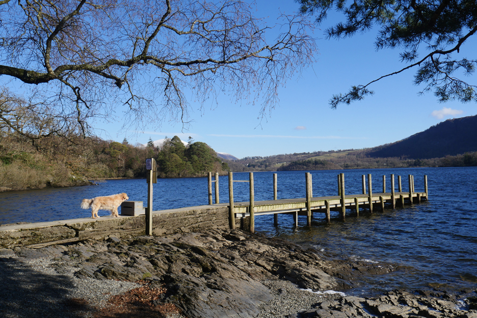
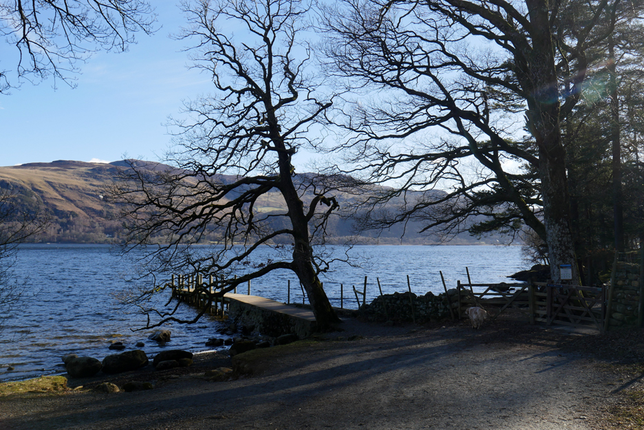
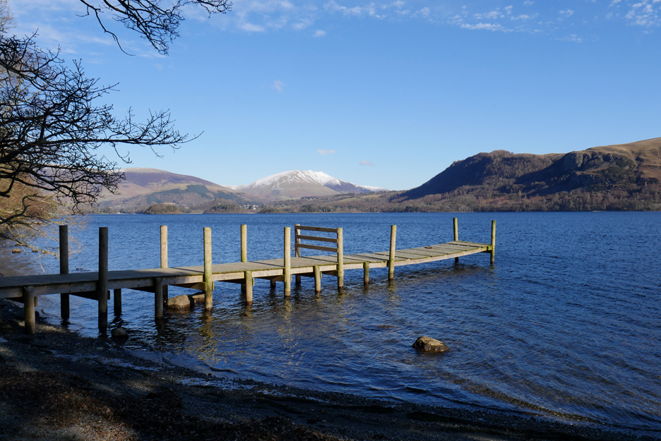
Back to the lakeside now and the second jetty of the day is at Hawse End. This is the main stopping off point for those wanting to climb Catbells.
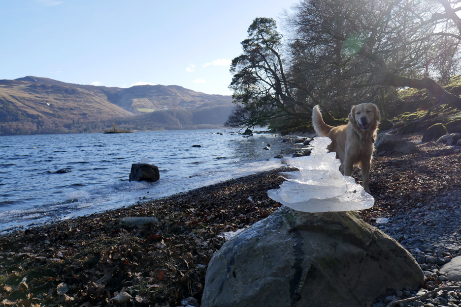
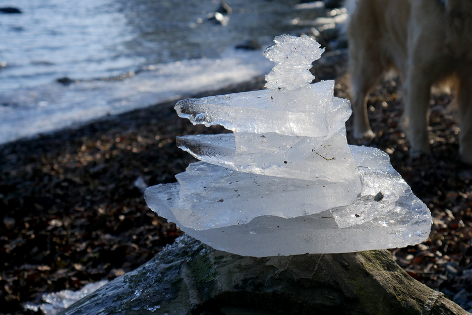
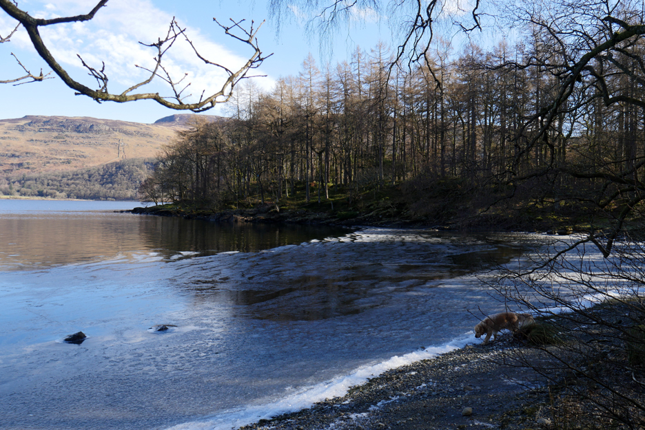
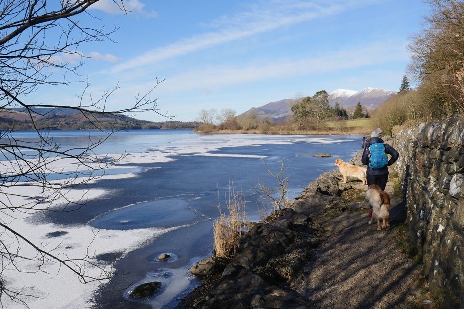
Down on the beach there's ice on the foreshore and someone has built an ice stack . . . makes a change from using stones.
The clear ice really sparkles in the sunshine.
The ice extends around the shoreline as we reach Otterbield Bay.
The snow on Blencathra and the deep green of the Scots Pine make it look almost Canadian ?
The Old Brandlehow Jetty
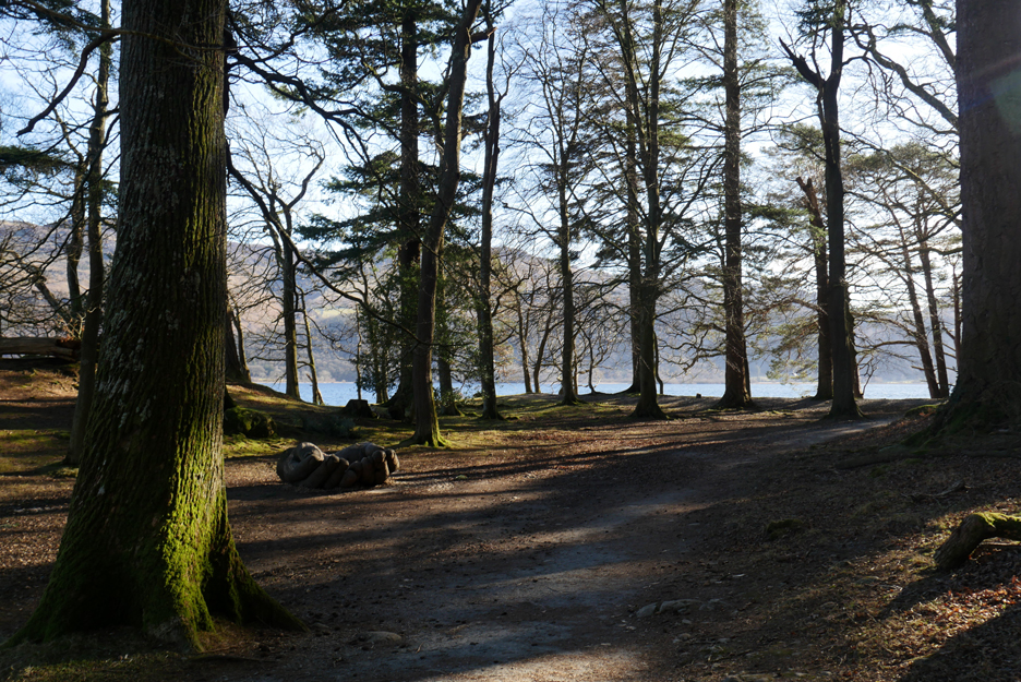
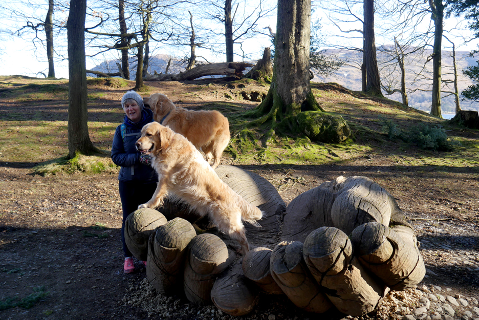
In the woods of Brandlehow Park there's a large wooden-hands sculpture. Created in 2002 by John Merrill, it celebrates the 100 years since Brandlehow Woodland was bought by The National Trust This was their first ever land purchases here in the Lakes.
" I love you Julie . . . says Dougal." The hands are always a popular photo location, but as usual the dogs didn't look this way when I press the shutter !
The Brandlehow Bay Jetty . . . looking a little fragile having lost a few of the important upright wooden piles towards the outer end.
Ahead is the rather nice house on Brandlehow Point.
Brandlehow Bay was also the location of old lead mines hence the gravel foreshore.
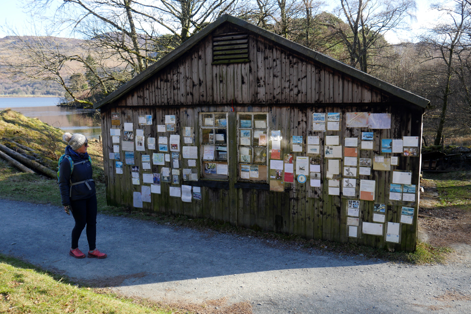
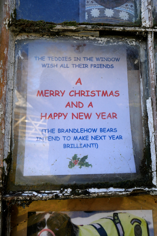
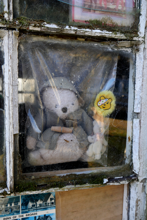
Nowadays the bay is also home to the Brandlehow Bears . . . who enjoy a seemingly world-wide following.
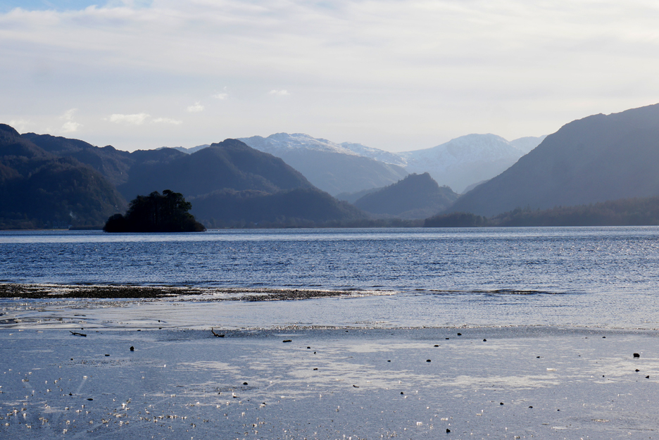
Abbots Bay and the diminutive Otter Island, not to be confused with Otterbield Island we passed earlier. As can be seen by the lack of reflections, there's a covering of ice on the water here in the bay.
The larger quantity may be because it has been blown into the bay by the recent easterly winds.
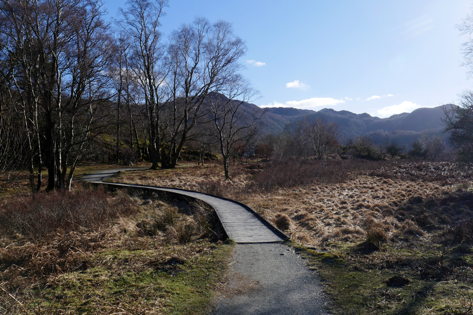
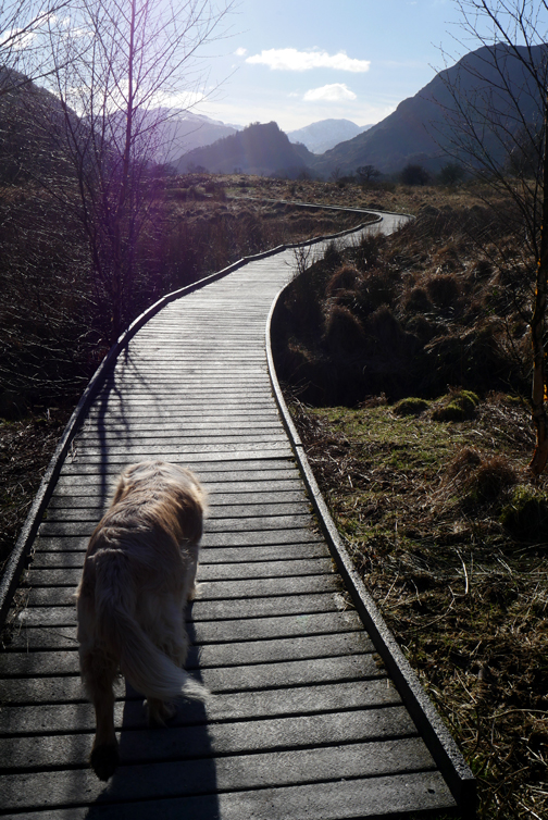
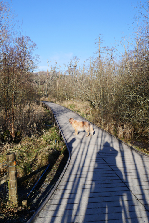
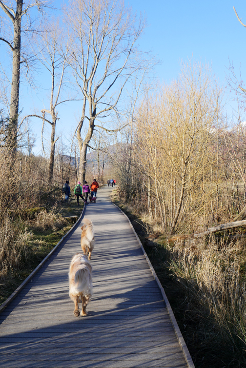
The first of the boardwalks takes us over the marshy ground ahead.
As we pass the Caravan Club's Manesty Woods site I keep an eye out for and find something I haven't seen for years. In fact it was a strong childhood memory from the 1960's, yes over sixty years ago now (I know, I don't look old enough) when our family dog called Spider (he had long legs) fell down a hole in the ground and had to be rescued by my dad. After all these years I've finally discovered that old hollow, now shown as a "Shaft (disused)" on the Ordnance Survey map.
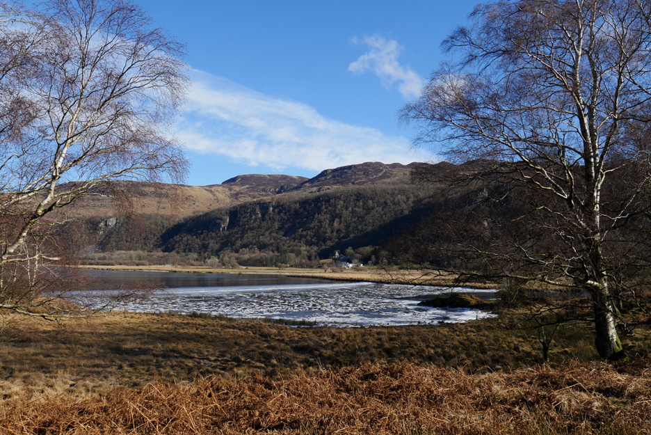
The location was close to another ice-filled inlet referred to by the grand name . . . "Great Bay".
Great Bay at the head of the lake.
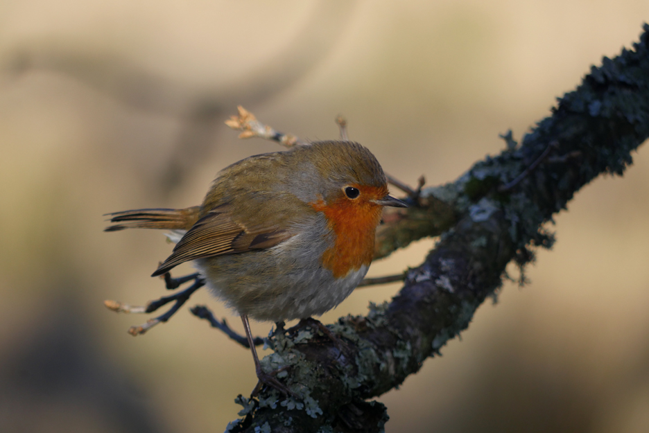
Obviously other have stopped here before as we were soon joined by a friendly robin hoping for a few crumbs in exchange for having his photo taken.
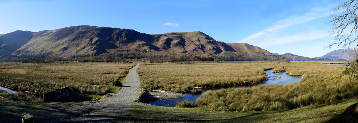
More boardwalk ahead as we turn and walk on across the head of the Lake towards Lodore.
Ice covers the water alongside Great Bay.
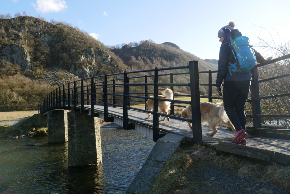
The River Derwent that flows into Derwent Water needs to be crossed as part of the round walk.
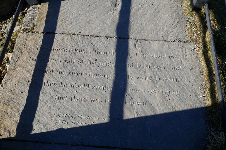
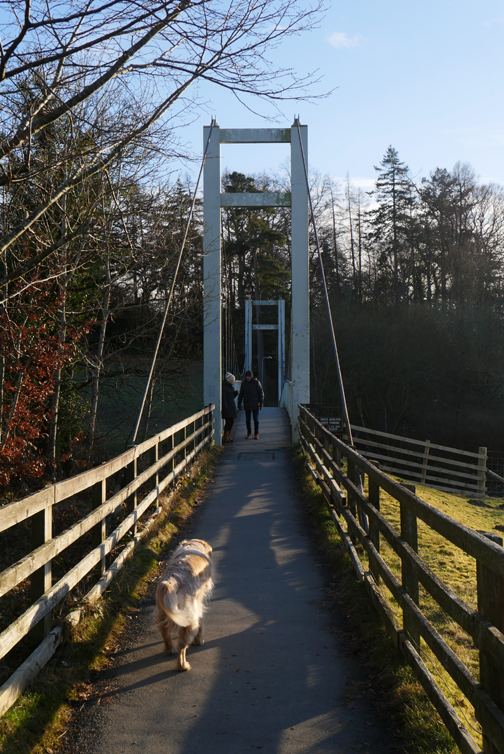
Fortunately there's the iconic Chinese Bridge to help us on our way. When the river floods across the footpaths, the bridge is often seen high and dry above the water, a strange sight.
Today the river is low and the crossing easy. The bridge has a literary connection in the form of a quote from A.A.Milne's book "The House at Pooh Corner".
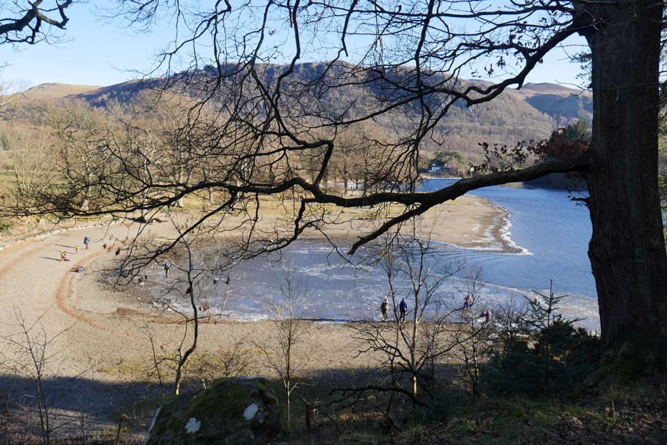
Looking back at our path . . . across the valley from the Manesty side to the Lodore side of the lake. Click here or on the picture for a larger version
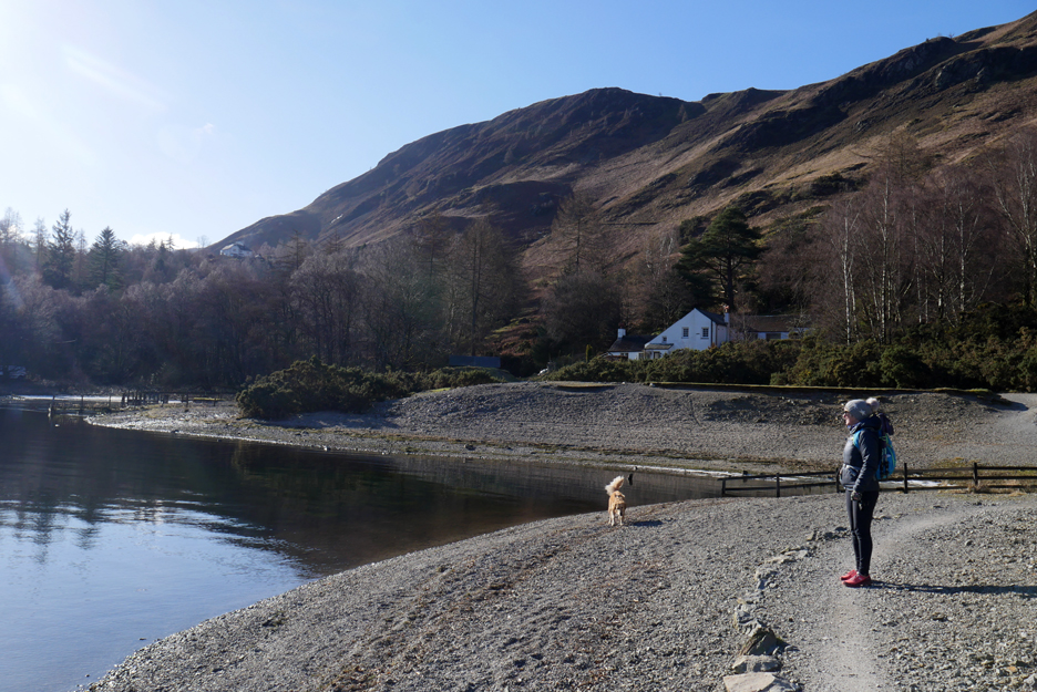
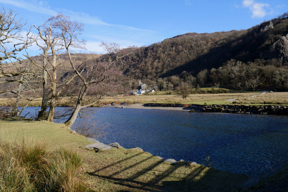
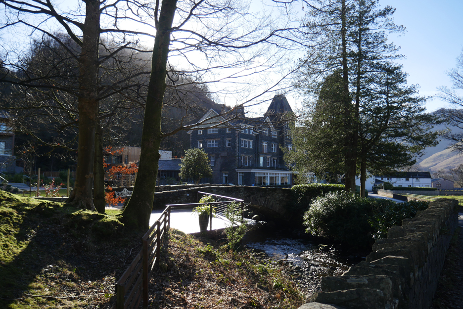
" Hi from Julie " as we reach Lodore.
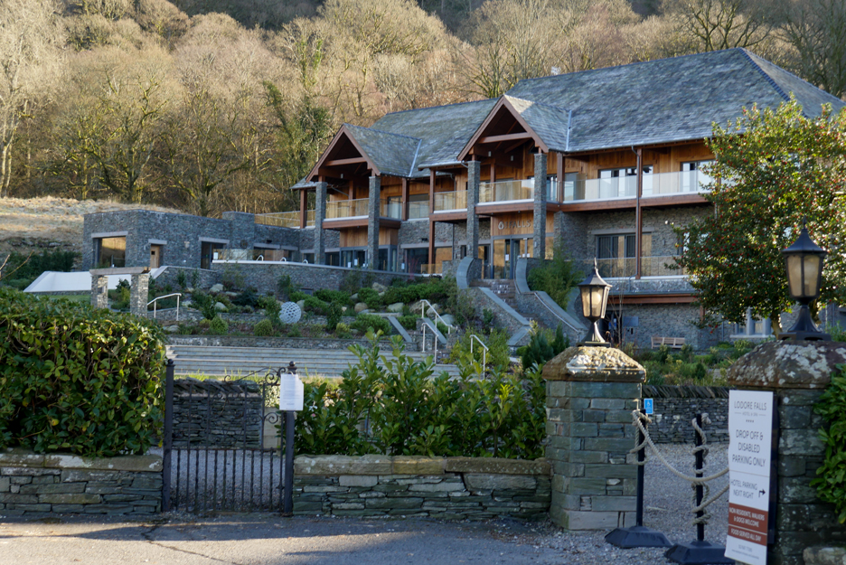
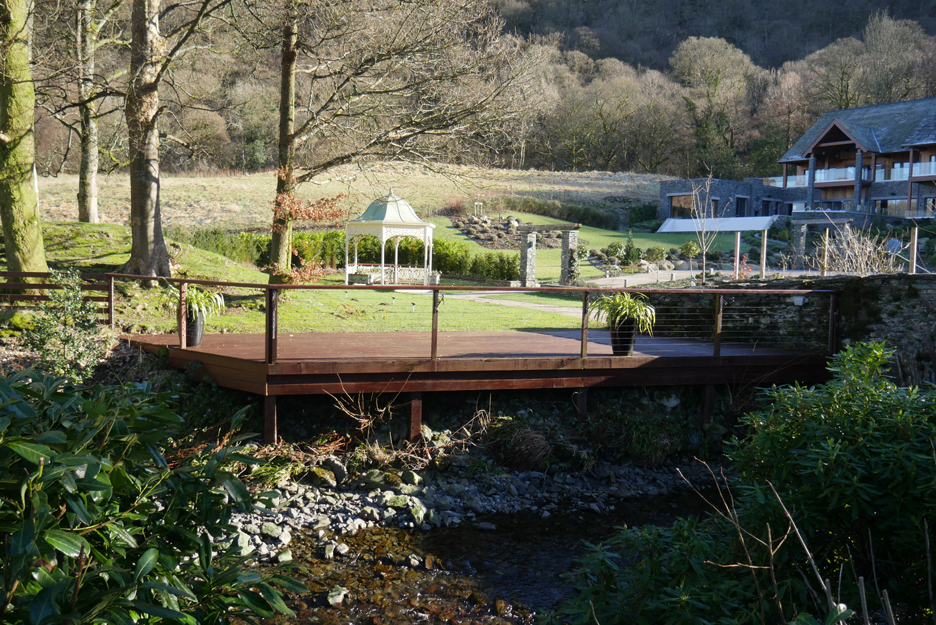
The new Spa Chalet at the Lodore Falls Hotel.
It will become a popular wedding venue once more, when the covid restrictions end.
Looking back at the main hotel as we cross the Watendlath Beck bridge.
To avoid the narrow road section we follow the footpath through the woods, nicely separated from the traffic by the roadside wall.
The next avoid-the-traffic move was to cross the road into the car park and find the lakeside path once again.
Narrow to start as we walk alongside the frozen lake shore. Weirdly the ice was rising and falling, presumably as the light breeze was causing slight changes of atmospheric pressure on the lake.
We couldn't see one but there must have been a slight swell on the water out there.
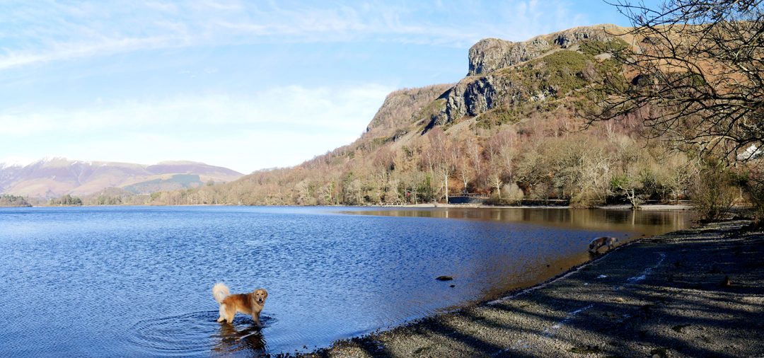
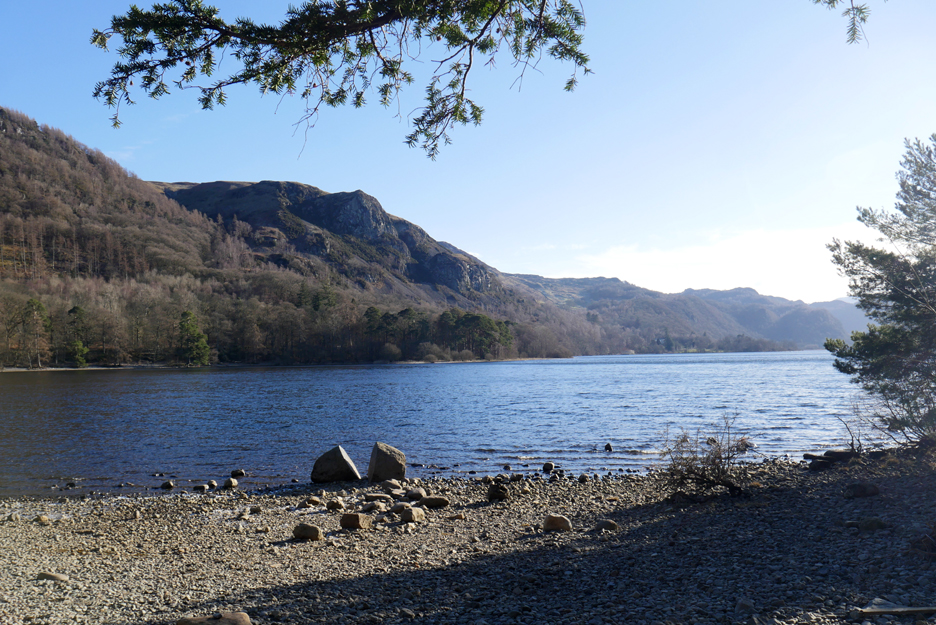
Round the low headland and into Barrow Bay. Ahead is the impressive Falcon Crag, with Walla Crag beyond.
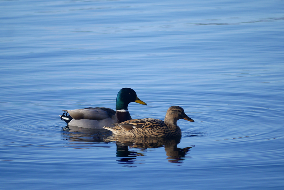
The calm waters are due to the lack of wind rather than any surface ice Two mallard ducks grace the foreground for me today.
Mr and Mrs . . . deserving of their photo.
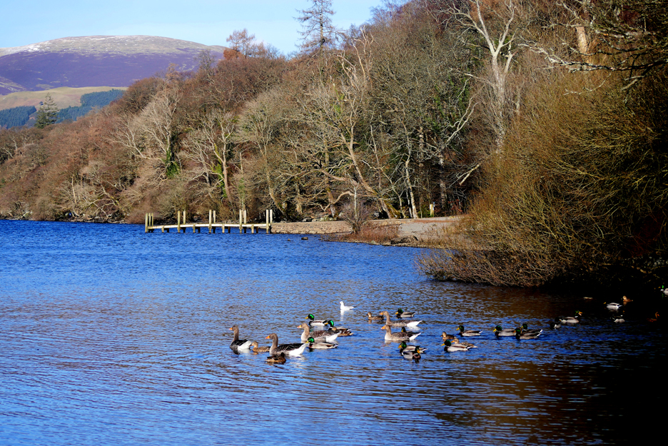
More ducks and geese take to the water as we approach Ashness Pier.
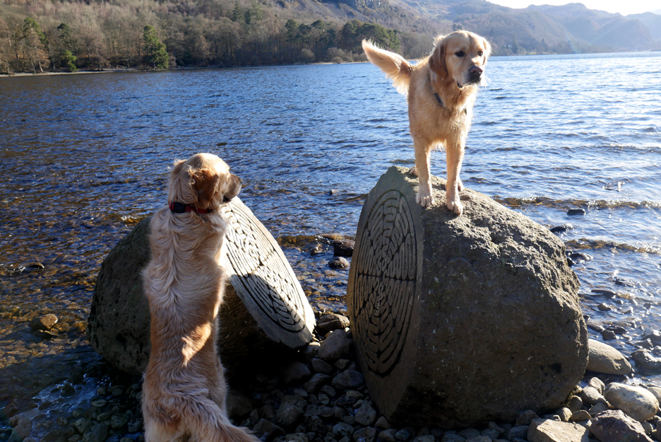
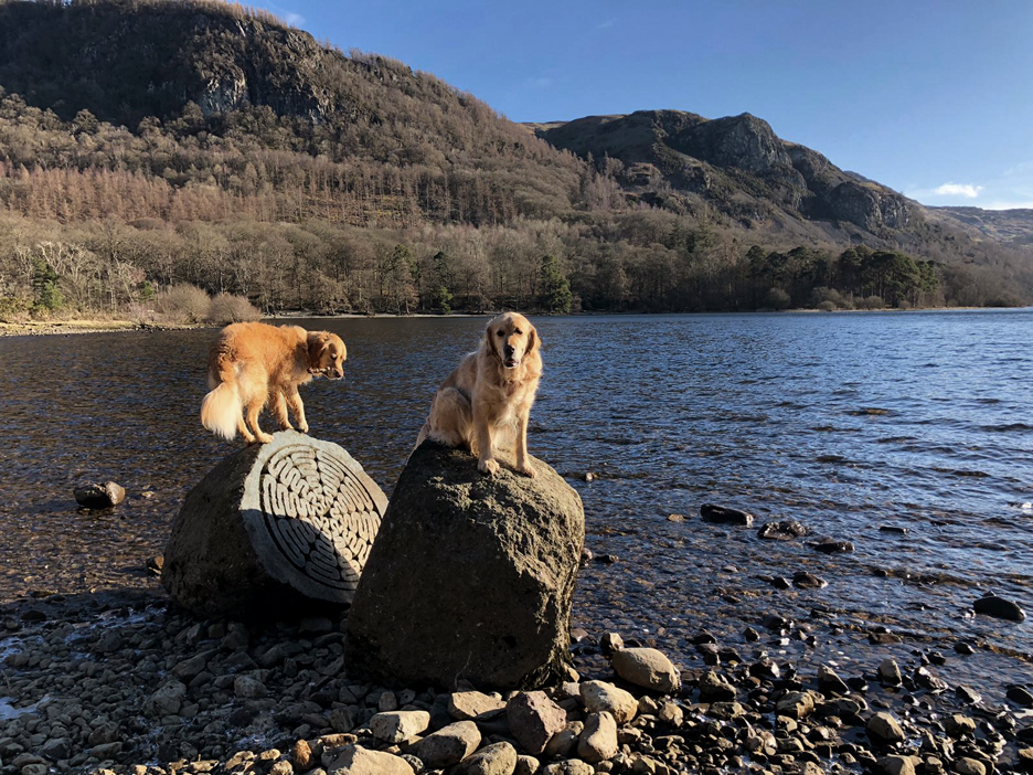
The first part of Calfclose Bay, with a large boulder on the far shore.
The other half of Calfclose is home to another large rock but this time a sculpture that had been deliberately placed there.
This boulder of Borrowdale volcanic rock was split and carved by Peter Randall-Page to commemorate the National Trust's centenary in 1995. The ten mirrored segments represent the ten decades of the organisation.
Julie managed to capture the photo I failed to get . . . that is with the faces of both dogs as they perched on the boulders. Full marks to Dougal, his rock was a lot narrower and quite awkward compared to Dylan's !
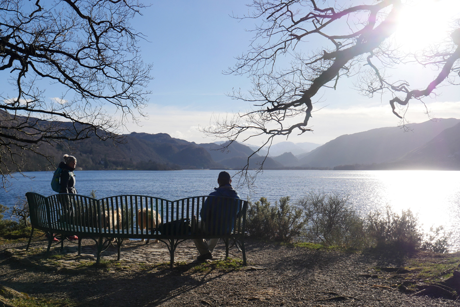
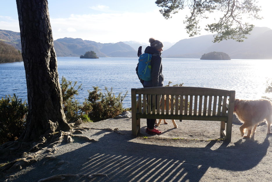
A new chair at Friar's Crag ? No, this lovely curved chair graces the headland of Calfclose Bay, placed there by the Keswick Lions Club to celebrate the 'year 2000' Millennium. What a peaceful place . . .
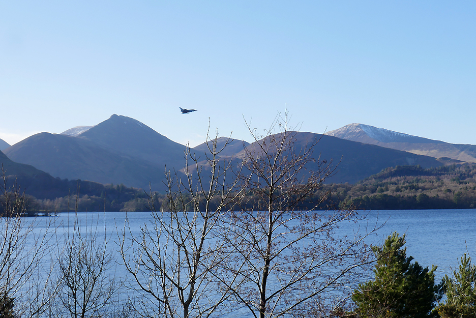
. . . or it was until this Eurofighter Typhoon roared by. I think it's a Typhoon . . . but he didn't stay long enough for me to check !
It looks like the council reckons that everyone walks the lakeshore path at two miles an hour. ( to be fair, our ten mile walk today did take five hours including stops)
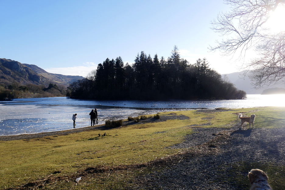
Lord's Isle once the residence of the Earls of Derwent Water. The final Earl lost his head during the Jacobite Rebellion . . . unfortunately for him he supported the losing side. Apparently the old stone from the derelict 1450's house on the island was used to build The Moot Hall in Keswick town centre. Just thought you'd like to know that !
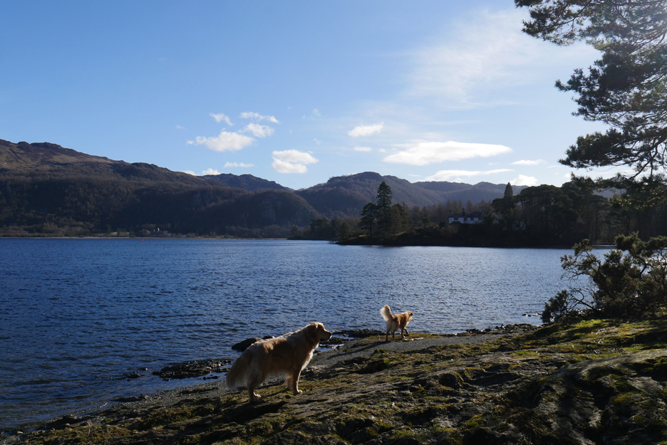
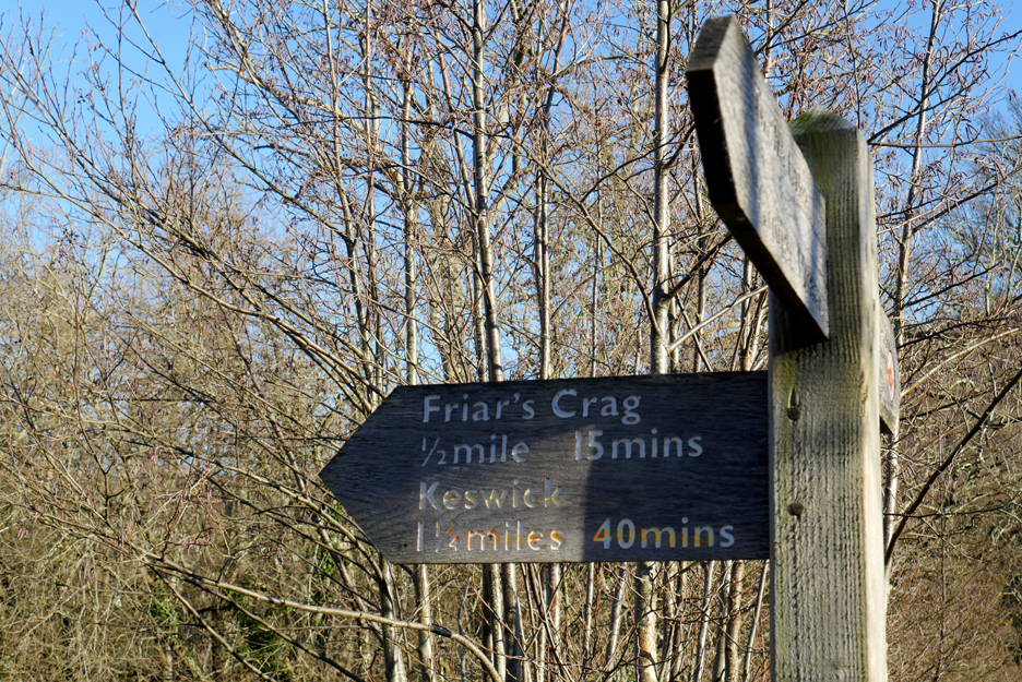
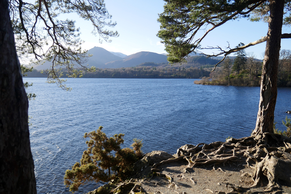
The headland with the trees is Friar's Crag . . . we're must be nearing town now.
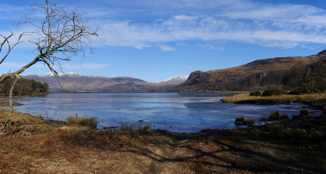
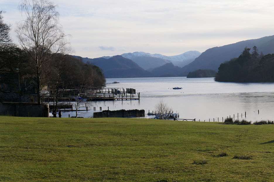
There's a fine view up the lake to Castle Crag, seen across the ice bound bay this side of the headland.
Looking down on the ice from above. Close to town now there are a lot more people about and we actually met a few friends and ex-colleagues also walking alongside the lake today. Say "Hi Audrey" !
The real Friar's Crag Chair. No view of Castle Crag as Julie's in the way and you've just seen it in a previous photo anyway!
I always love the exposed roots of the pines on the headland.
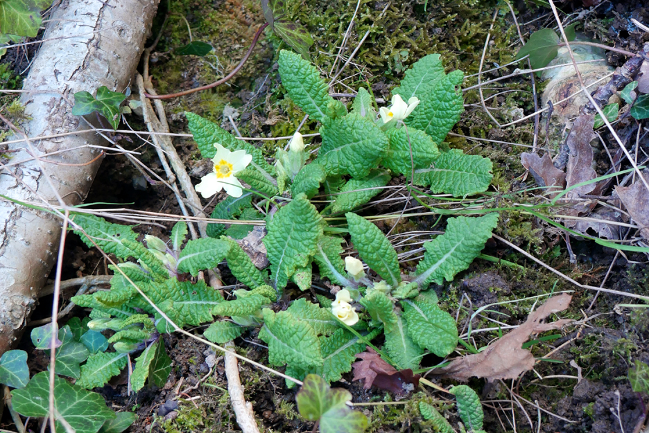
Heading off to the Boat Landings, passing new season primroses basking in the sunshine.
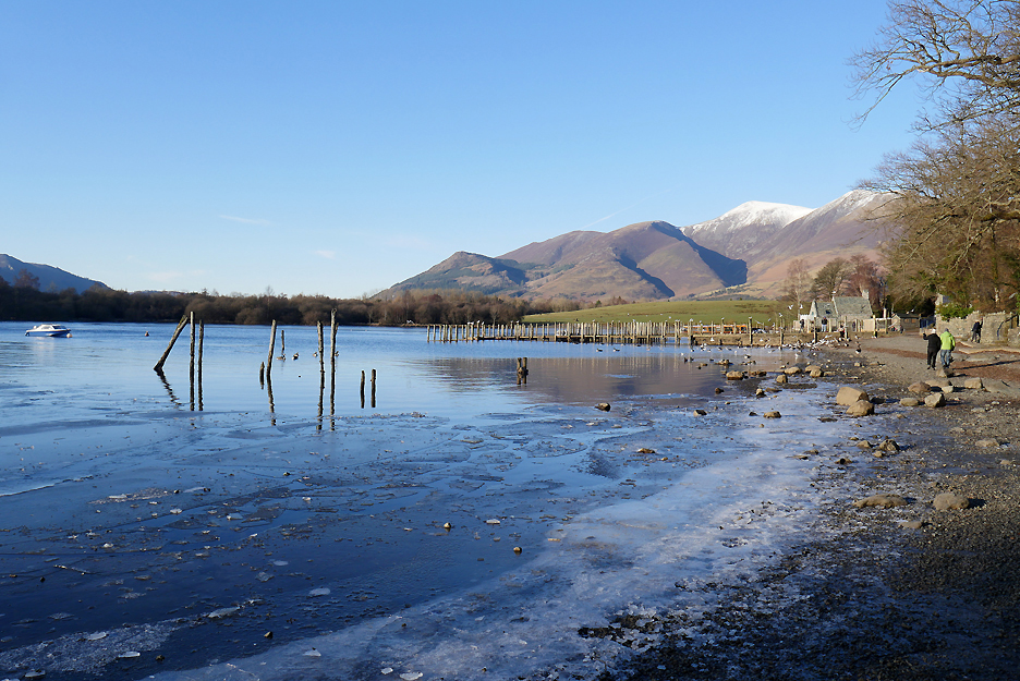
Ice on the beaches here too.
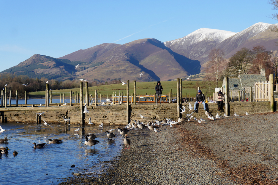
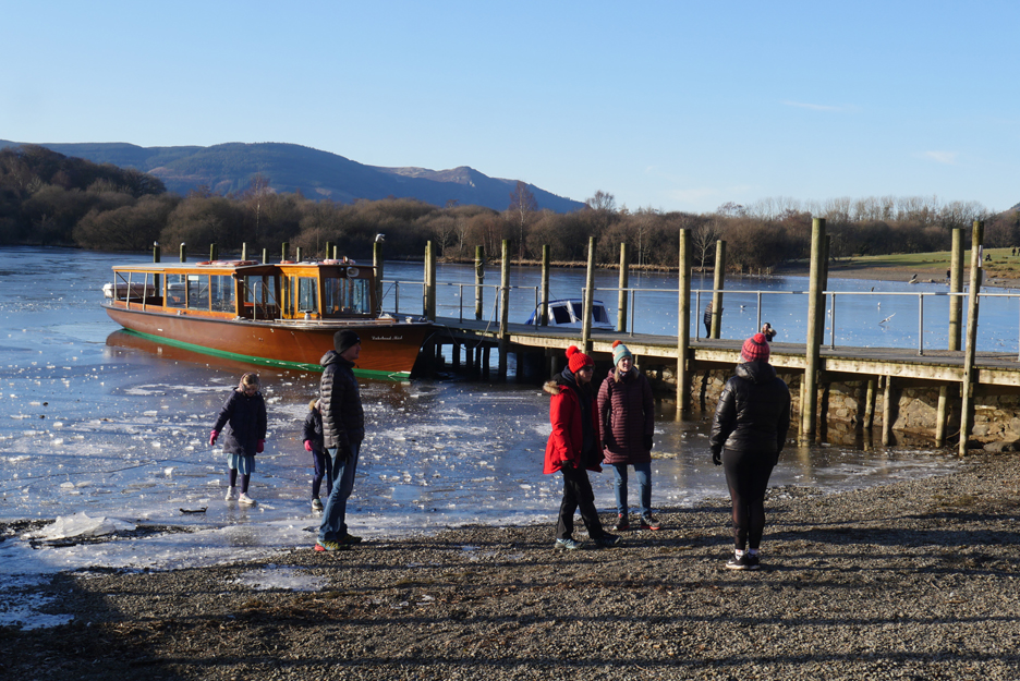
A few visitors sit on the jetty to feed the birds as there are no boats running.
Others are out enjoying distanced conversations or walking on the ice at the edge of the lake. The Lakeland Mist should be free of ice by the time the lock-down ends.
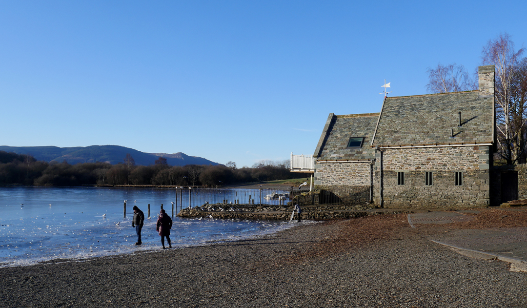
The 'new' Boathouse at The Landings.
They've lifted the roof and raise the accommodation inside to avoid the floodwater that sometimes engulfs the building.
Theatre by the Lake . . . hopefully due to re-open for a late summer season.
Our route takes us on a shortcut across Crow Park fields, allowing views of Castle Crag and Great End at the top of the lake.
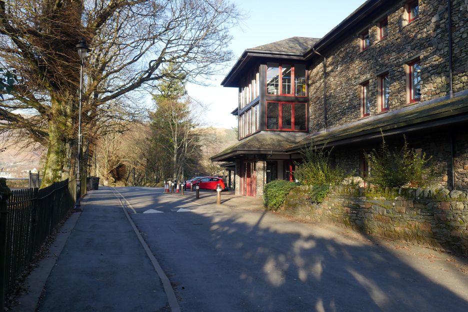
The path reaches the road close to the Rugby Club at The Headlands.
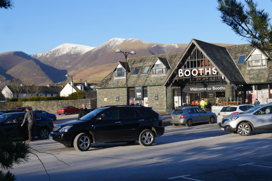
A quick shortcut through Booths car park avoids the main road.
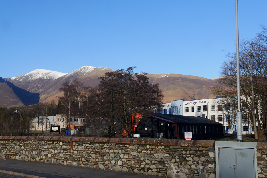
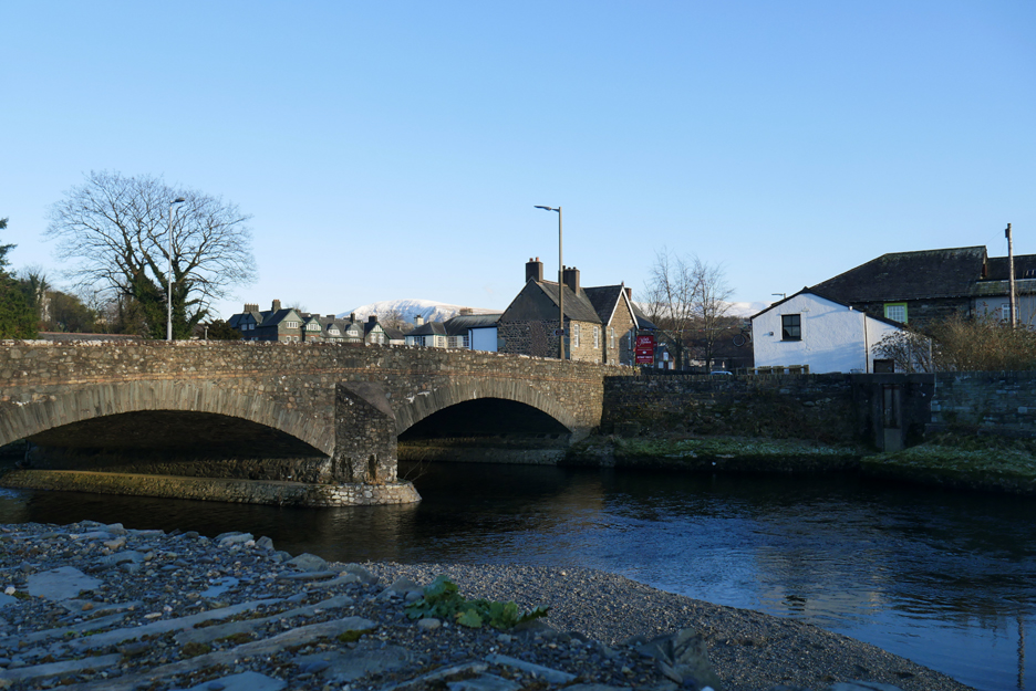
There's no avoiding the need to cross the River Greta and we do so using the bridge close to the old Pencil Factory.
The cold winter weather and recent lack of rain means the water levels are low under the Greta Bridge.
Another avoid-the-traffic route takes us across the fields on the footpath to Portinscale.
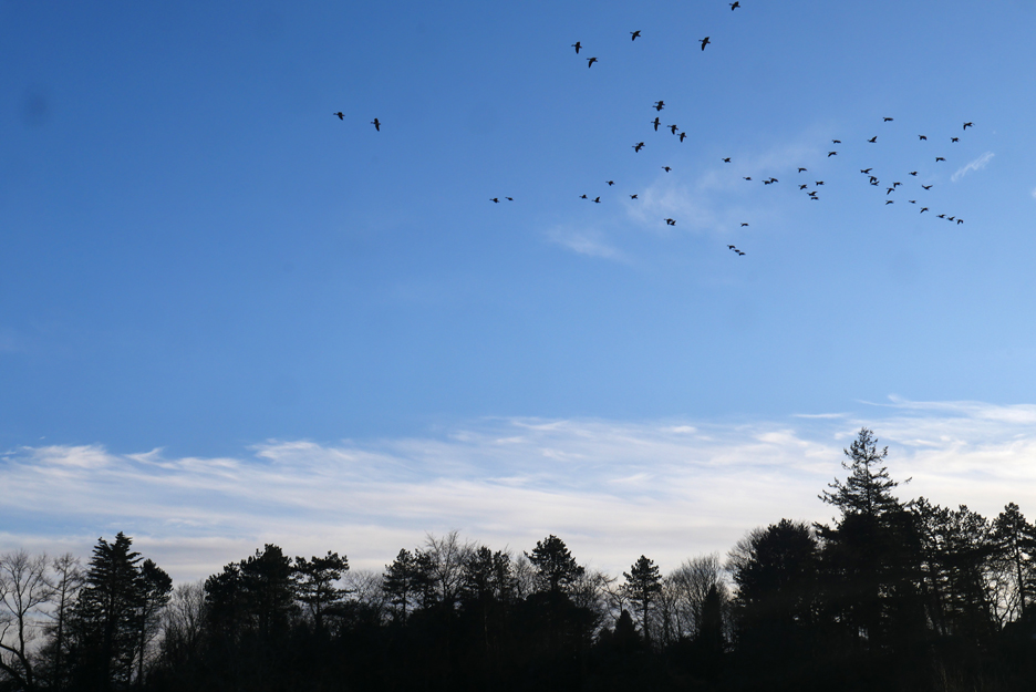
No jets this time but the peace and quiet was disturbed by a large flock of geese overhead.
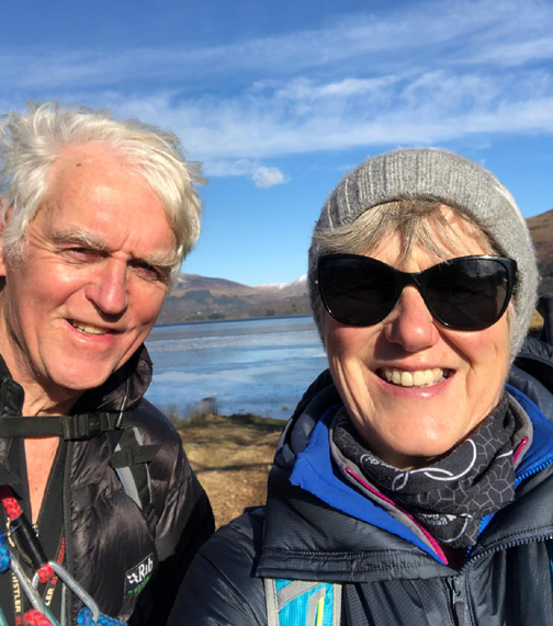
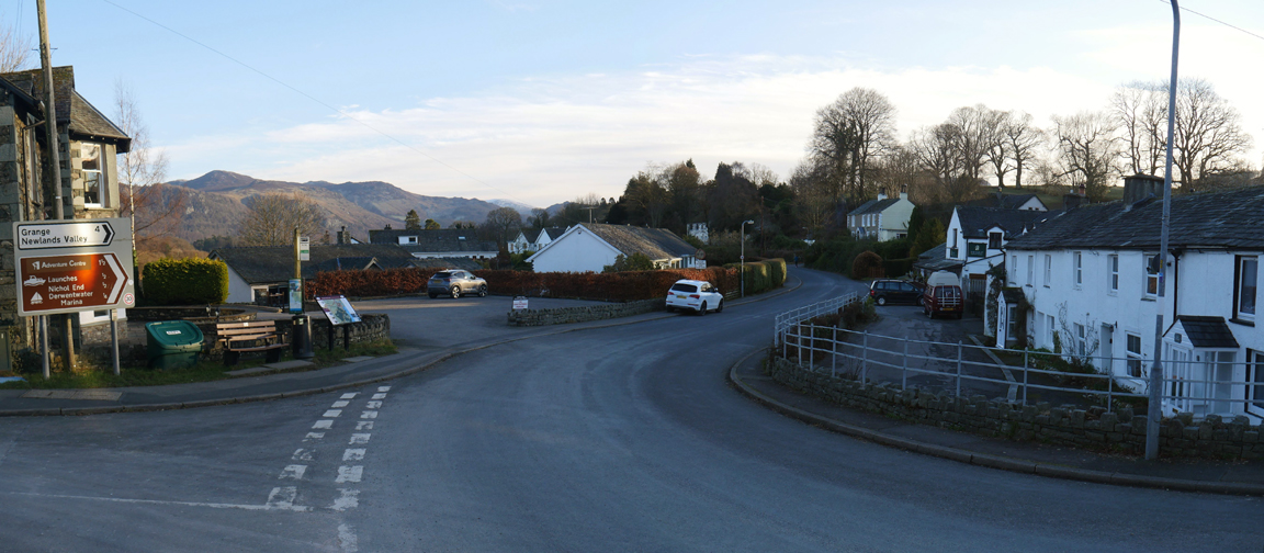
That brings us back to Portinscale after a delightful ten mile circumnavigation of the lake. A big thank you to Julie, my guide and companion today. - - - o o o - - - |
|
Technical note: Pictures generally taken with my Panasonic Lumix Gx8 Camera. Resized in Photoshop, and built up on a Dreamweaver web builder. This site best viewed with . . . the chance to join the pieces into a complete walk. Go to Home Page . . . © RmH . . . Email me here Previous walk - 10th February - Pure Whiteside with Martin A previous time up here - 23rd March 2014 - Surprise View Geocache Next walk - 12-14th February - 'Fire and Ice' in Loweswater
|