![]()
Remember: Press F11 for a full
screen view of this page.
Web Counter when published 1 859 184
|
|
|
|
Remember: Press F11 for a full
screen view of this page. |
Web Counter when published 1 859 184 |
|
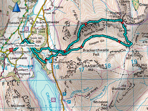
" Pure Whiteside and Hopegill with Martin " Date & start time: 10th February 2021. 10.30 am start. Location of Start : By the red phone box, Loweswater, Cumbria, Uk. ( NY 143 211 ) Places visited : Lanthwaite Woods, Whin Ben, Whiteside, Hopegill Head, Gasgale Valley. Walk details : 8.25 mls, 2,800 ft of ascent, 5 hours 55 mins. Highest point : Hopegill Head, 2,525ft - 770m. Walked with : Martin and the dogs, Dylan and Dougal. Weather : A reasonable day but with a cold wind, hopefully no rain or snow. |
© Crown copyright. All rights reserved. Licence number PU 100034184. |
|
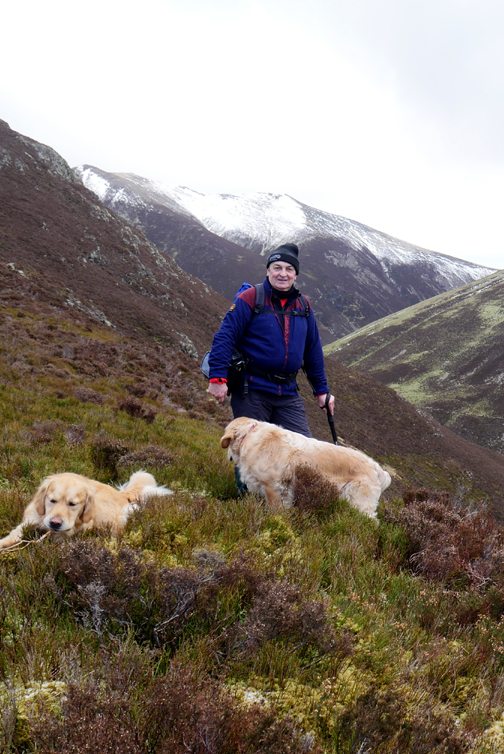
After his recent success of climbing Mellbreak, Martin has ventured out onto Hen Comb on his own and fancied doing Low Fell, the one he looks out on from his back door. However I felt the weather and snow conditions were suitable for a slightly more adventurous outing together today.
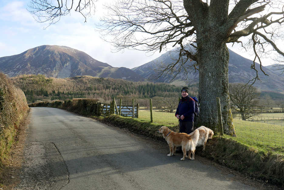
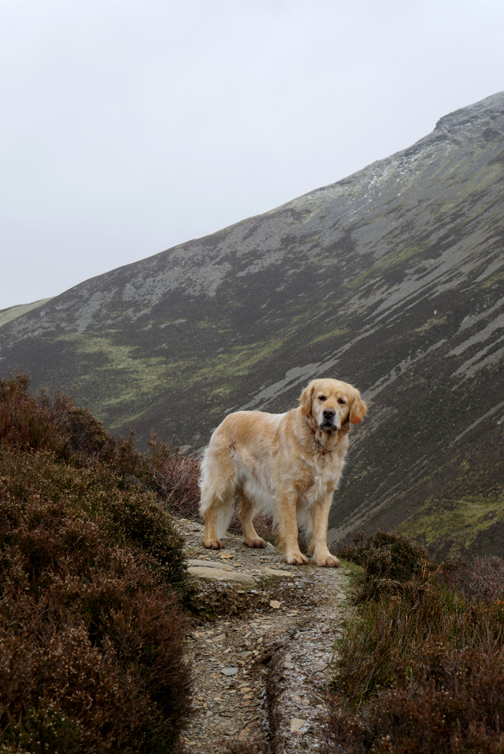
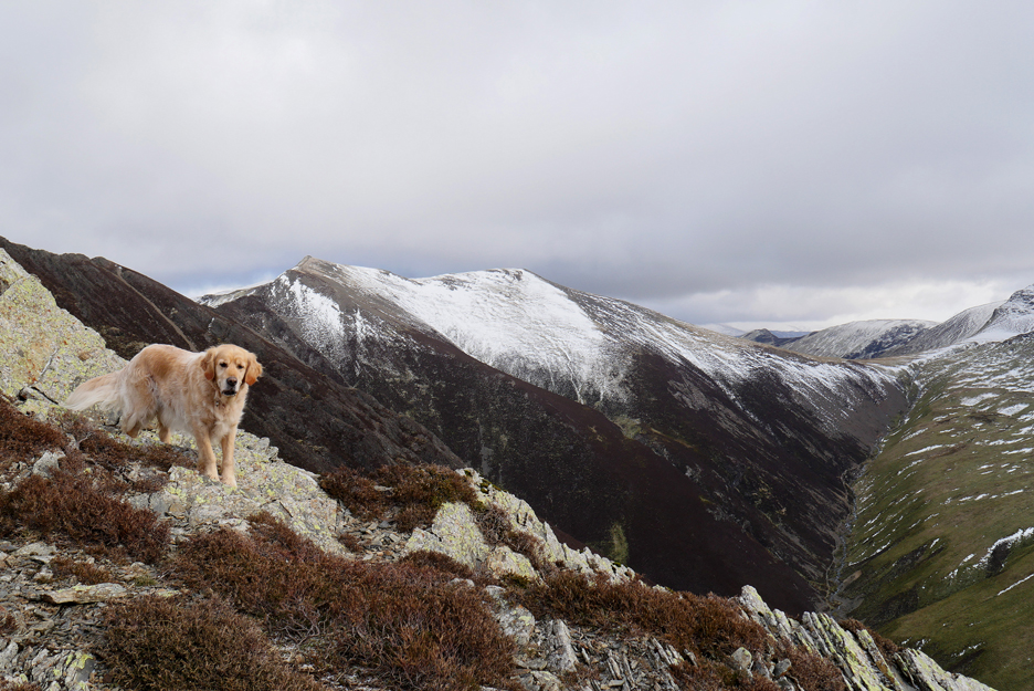
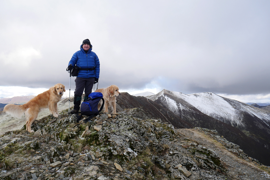
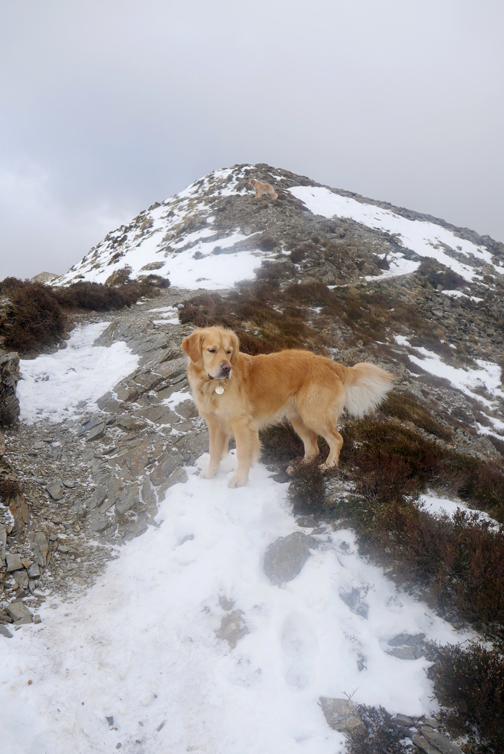
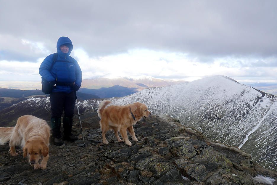
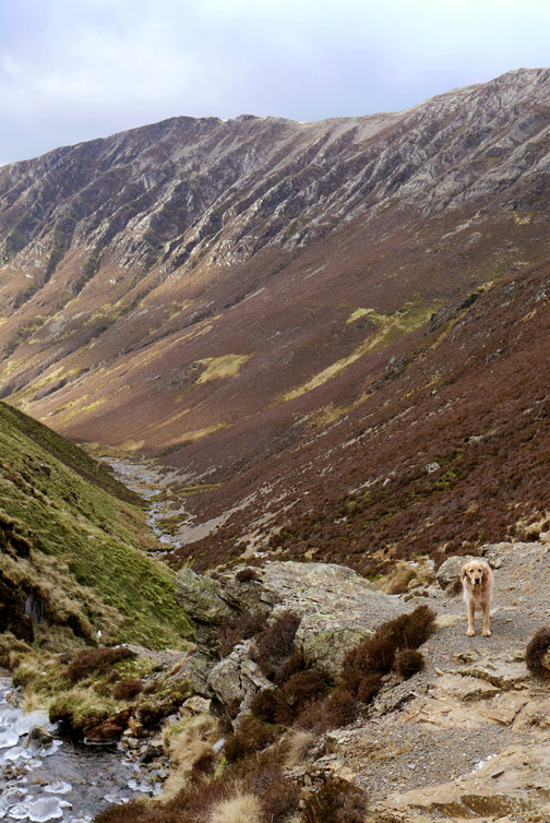
My companions for the day . . . in height order, Martin, Dylan and Dougal. A lot of the snow has gone from the high fells and so a walk up Whiteside looks a good option for this first time winter-walker !
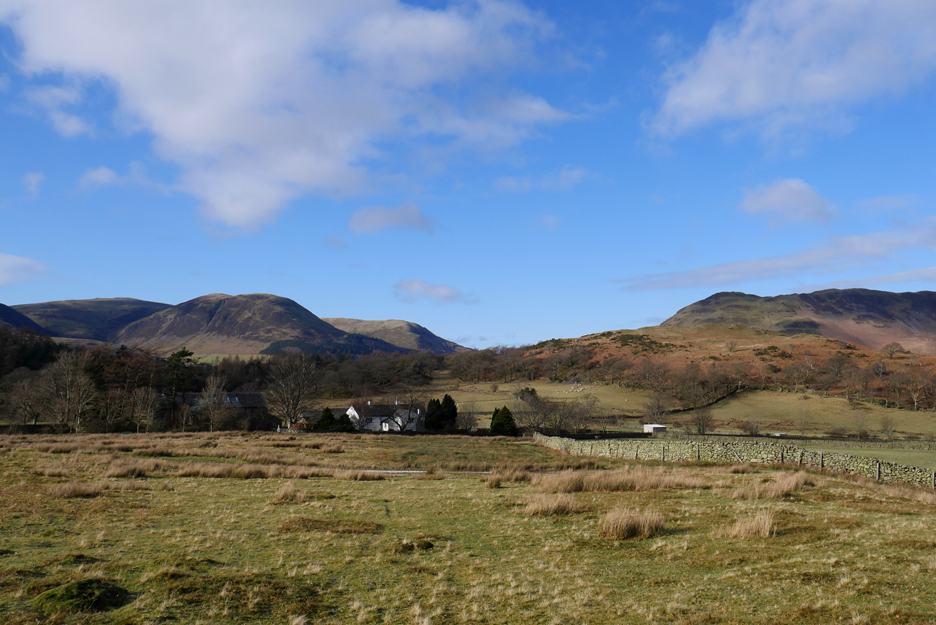
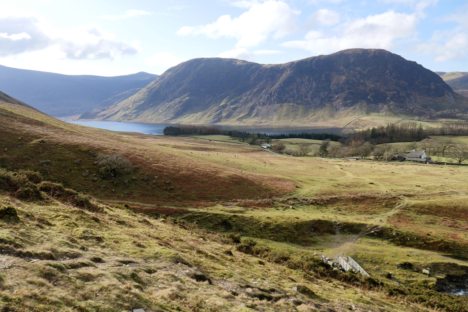
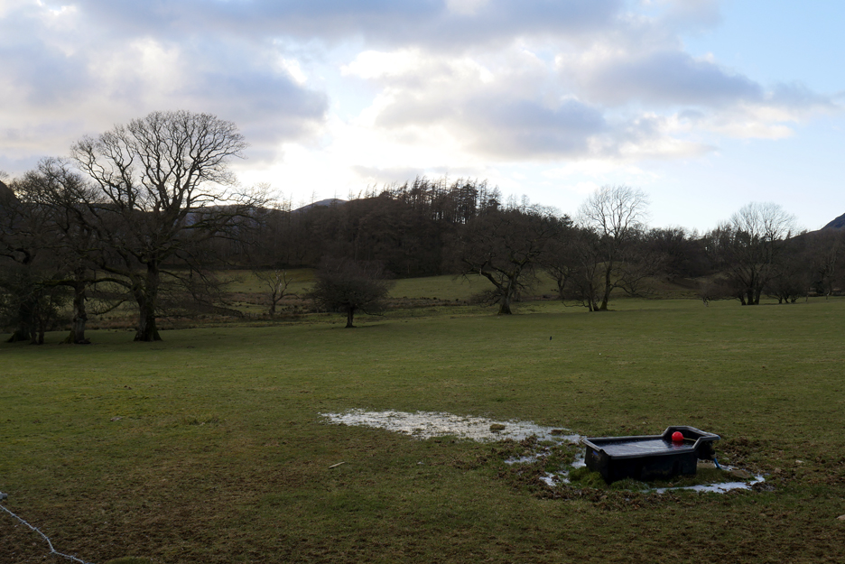
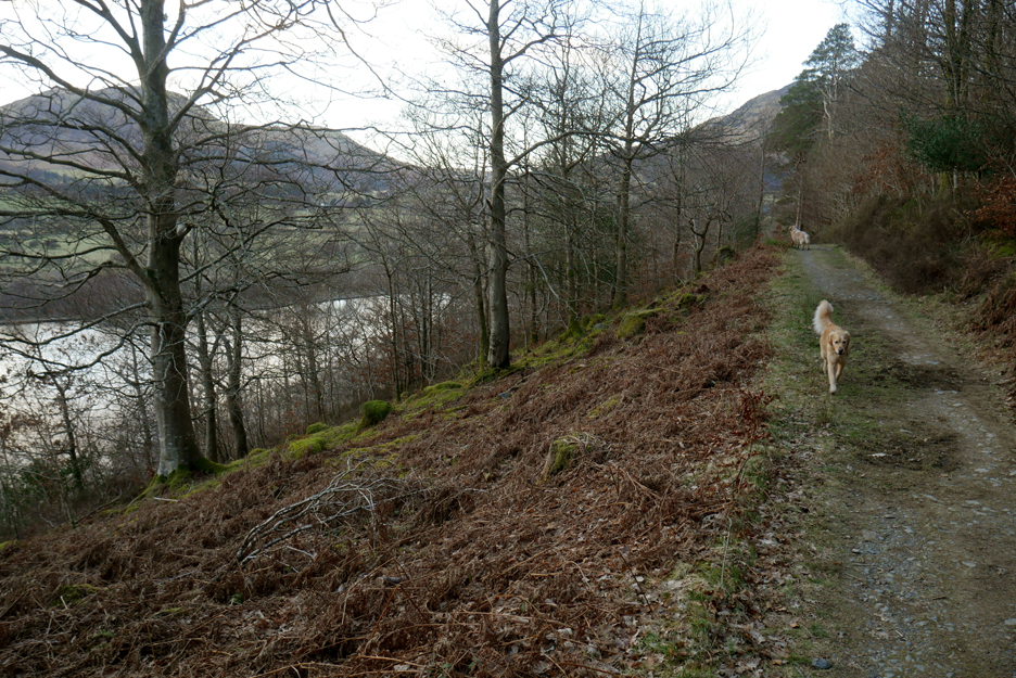
We decided to walk from the door rather than take the car . . . hence the title "Pure" Whiteside. To reach Lanthwaite Green on foot we walked up through the woods on the Lanthwaite Bridleway.
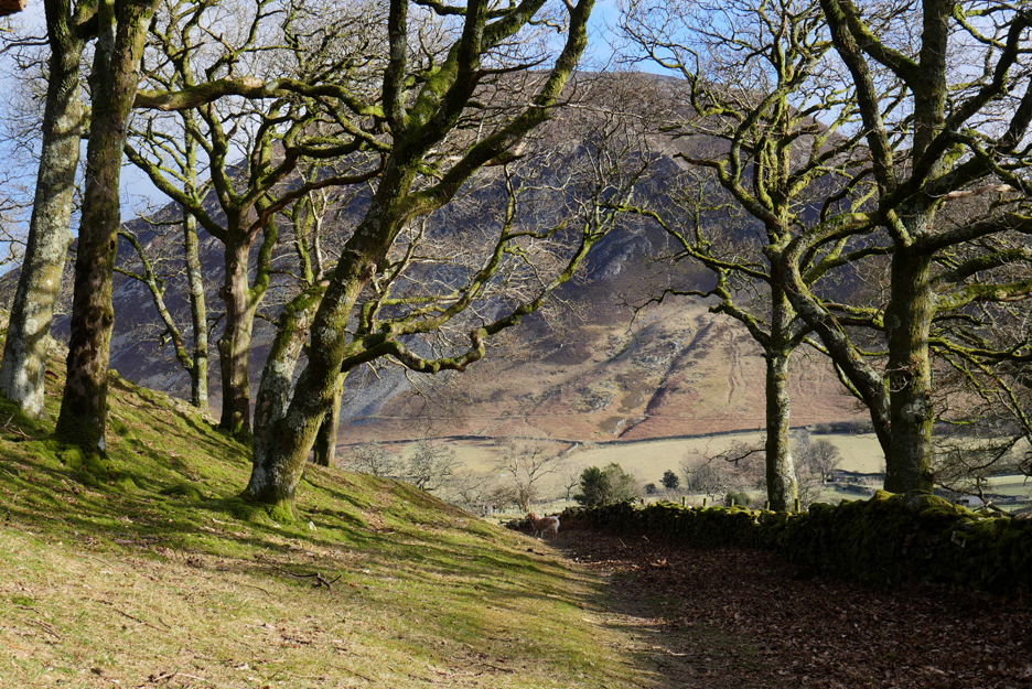
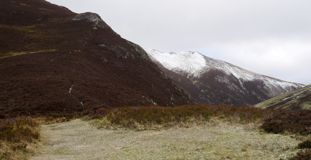
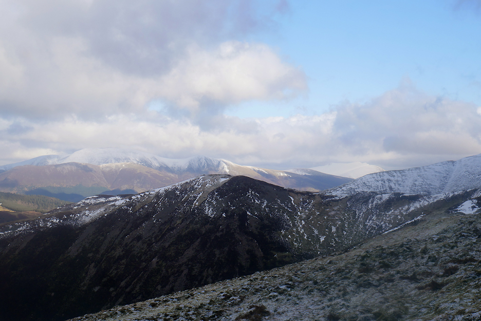
There's snow on Grasmoor on the right but the climb up Whiteside looks relatively uncomplicated. It's warm and sunny down here but I have a distinct feeling that will not be the case on the high fell due to the easterly winds we've been experiencing this week.
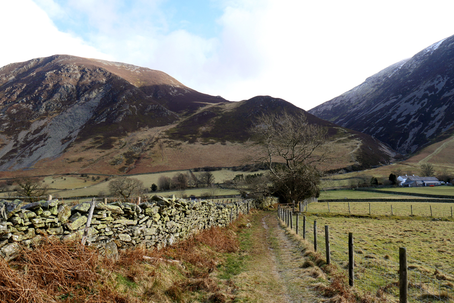
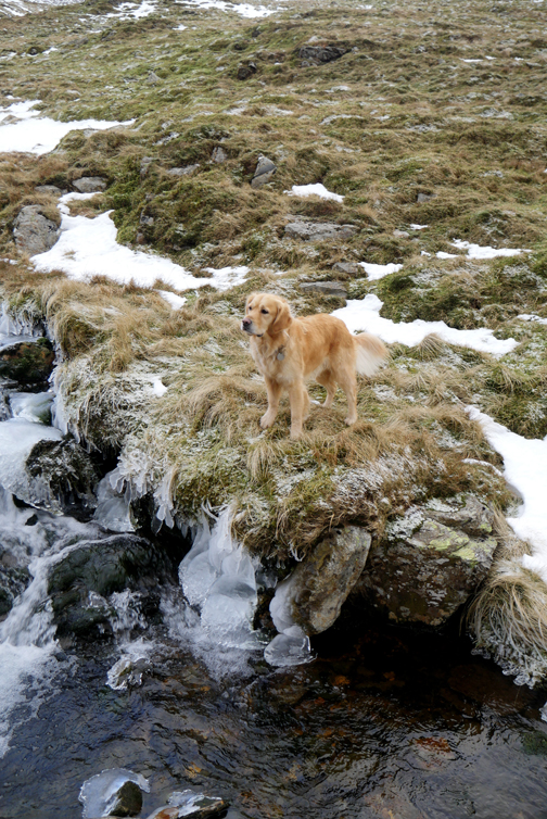
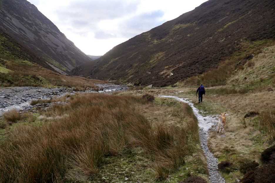
Crossing the Buttermere road we leave Lanthwaite House behind and head out onto the fell.
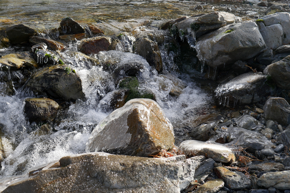
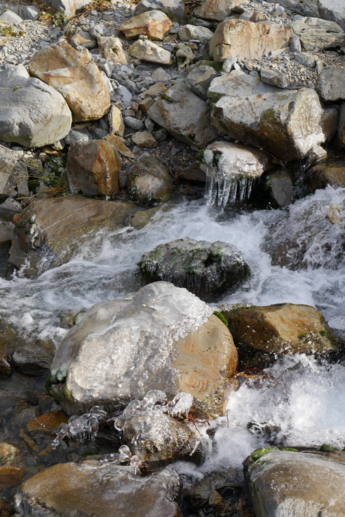
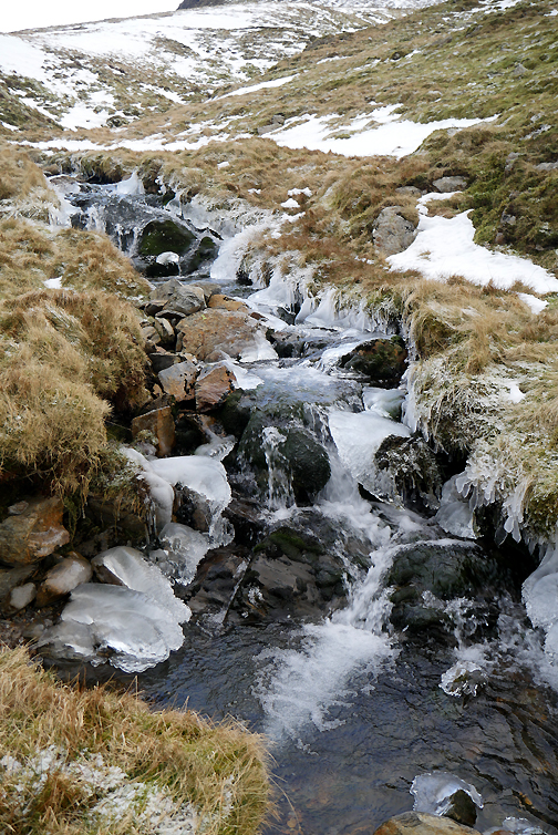
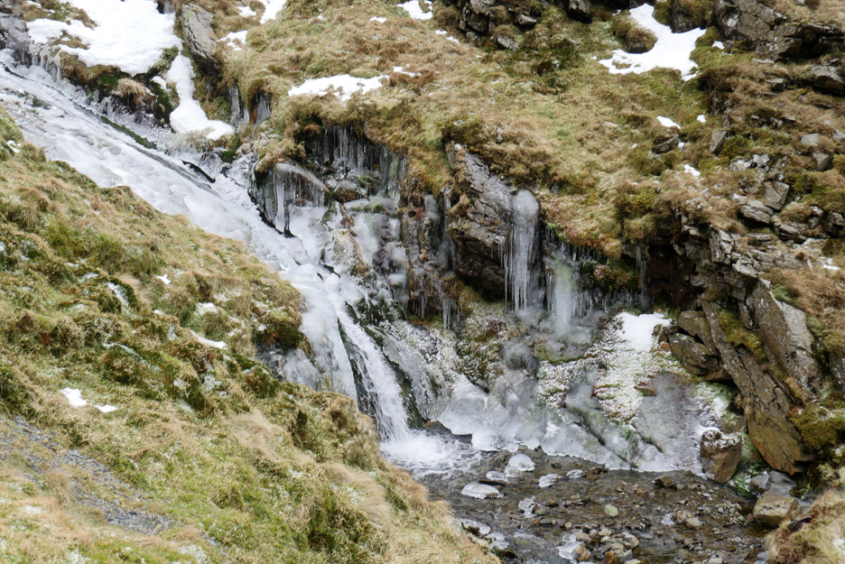
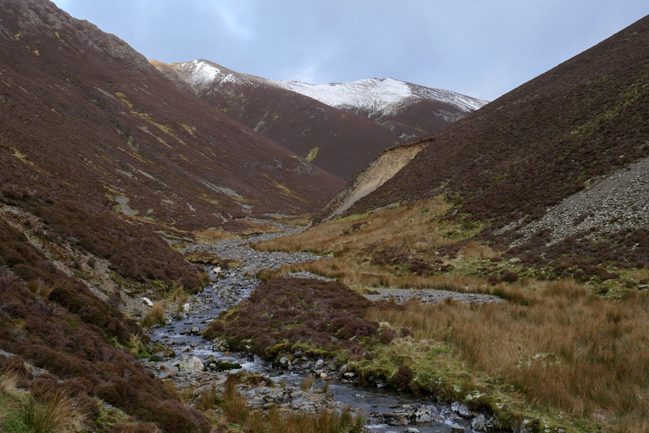
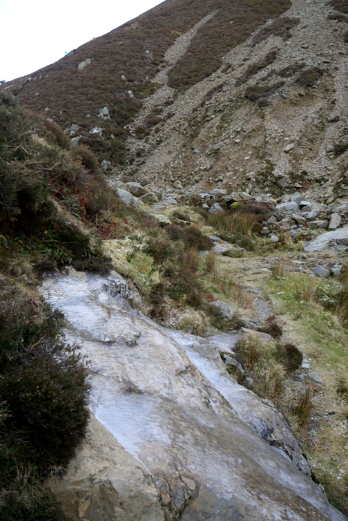
Liza Beck as it emerges from the Gasgale Valley.
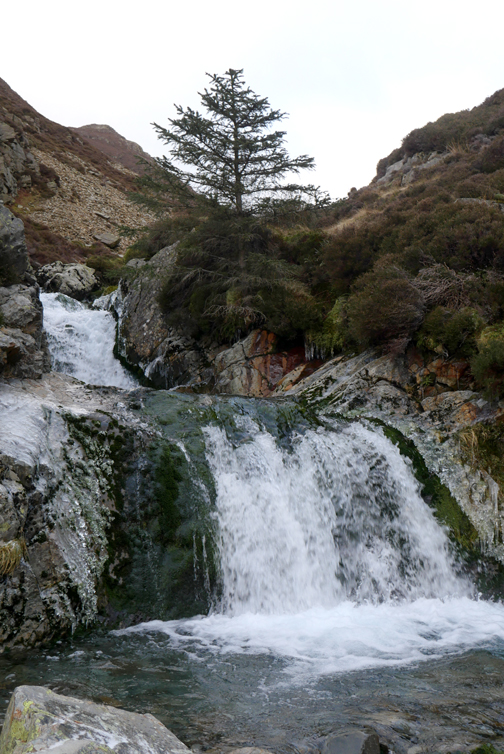
The cold weather has formed icicles on the rocks and in the stream bed.
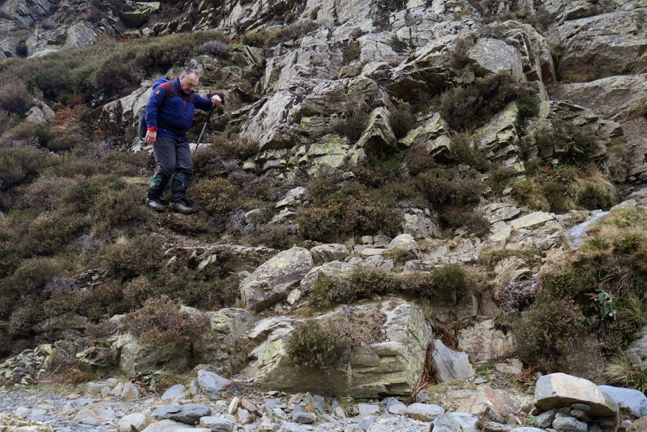
Time to start up the fell, the walk over from home has hopefully warmed ourselves in readiness for it is a steep ascent.
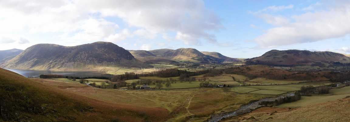
We gain height rapidly as a result. As we do the view back expands to include all the local fells and the three valleys that merge together at Loweswater.
The unassuming summit of Whin Ben . . . a single stone hidden in the heather marks the top. We have chance to pause and gather our strength once again, ready for the steep climb ahead.
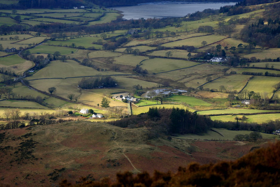
Well, we might stop a little longer and have a sneaky look at the view. Godferhead seems to be enjoying a ray of sunshine, which doesn't quite extend to their wildlife pond in the field behind.
The same sunshine covers the coastal region of Workington, seen over Sourfoot Fell where we walked a few days ago on Paula's Low Fell Round.
Already on the next rock outcrop . . . waiting for us once again.
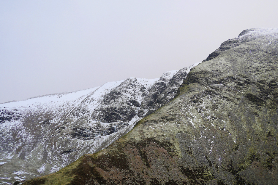
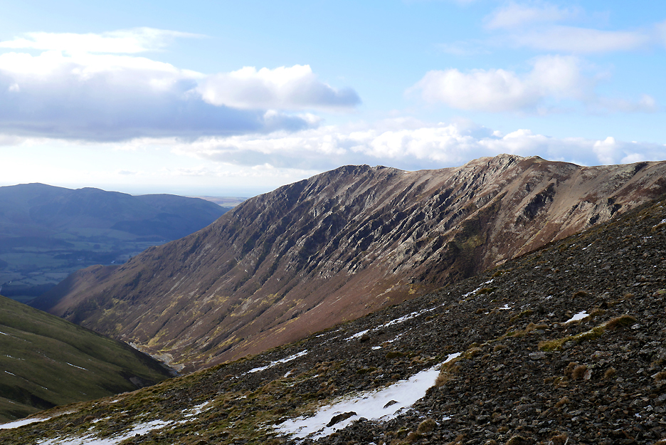
Across the way is the slightly greener edge of the Dove Crag Arête. It's a nice walk up Grasmoor but avoiding that rock step in the wet on one walk proved difficult.
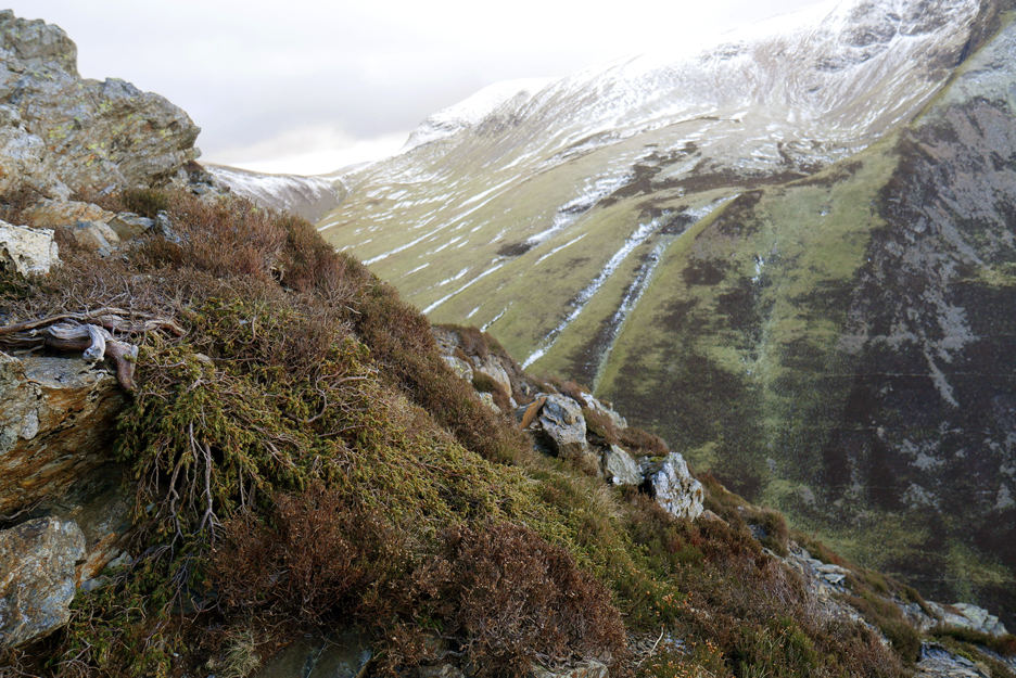
On the side of the path as we climb the last section towards the summit, we came across some dwarf conifers. What at first looked like woody heather was in fact a ground hugging evergreen which has draped itself down the rocks. This and several other trees had discovered that there's no point in growing tall where strong winds and low temperatures are involved.
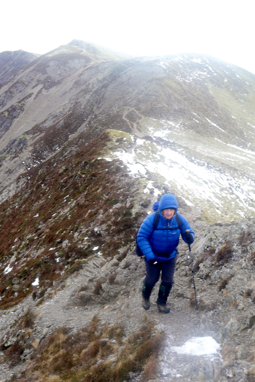
We 're nearing the top and Martin commented that this is the first time even that he has climbed above the 2000 ft contour ! The weather is stable and the cloud high so he should get an uncomplicated remainder of the walk.
Leveling off now so we must be getting near the summit. We can see into the Dove Crag corrie but there's no lake in it as the glacial ice didn't scrape it out deep enough to form a water-filled hollow.
All smiles and warm jackets as we reach the summit of Whiteside.
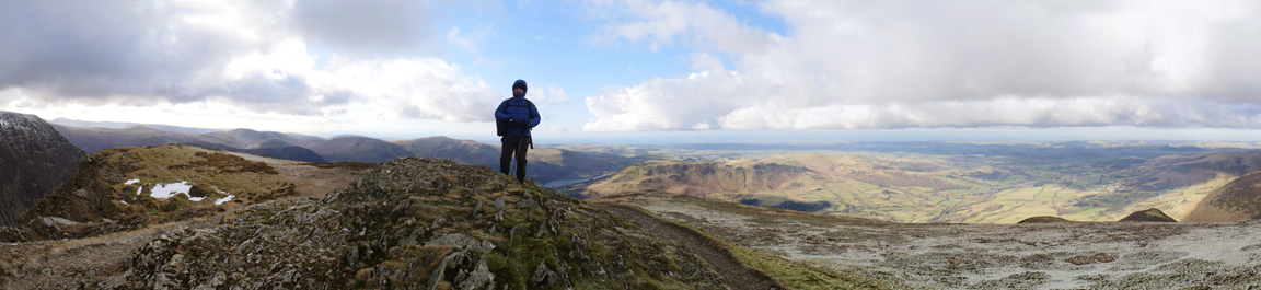
Martin stands on the summit , or would have done if the wind hadn't have been quite so strong. Click here or on the photo above for a larger version of this photo
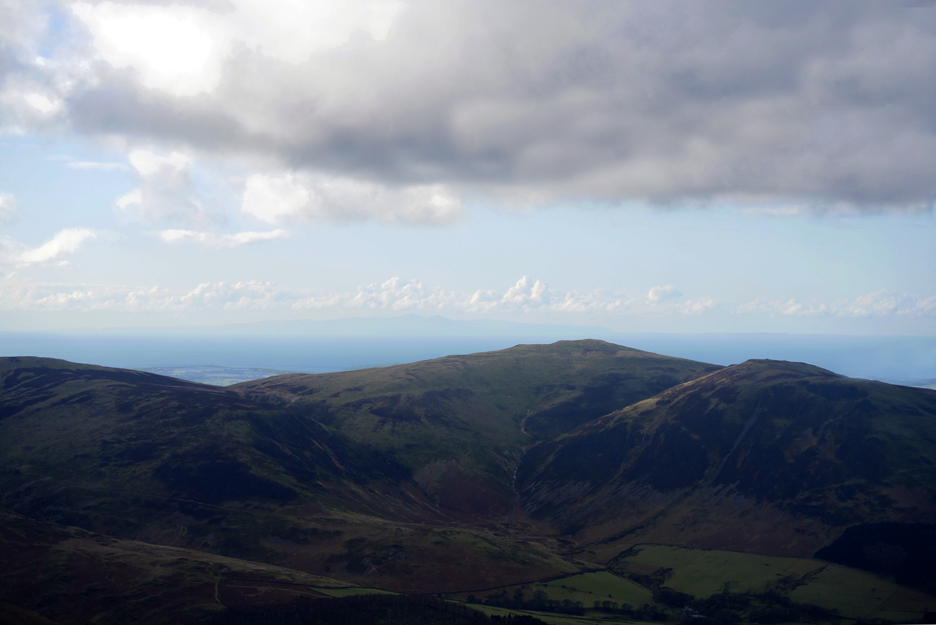
Out to the west we can just make out the Isle of Man, hiding in the mistyness. It's there beneath the fourth taller cloud from the left (or the right for that matter).
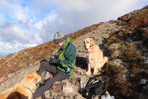
The wind is rather strong and the thought of stopping for refreshments on the summit was put aside. We would need somewhere with more protection from the north easterly wind . . . perhaps this side of the next taller part of the ridge.
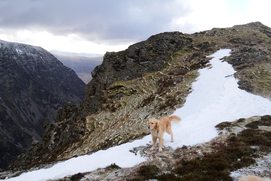
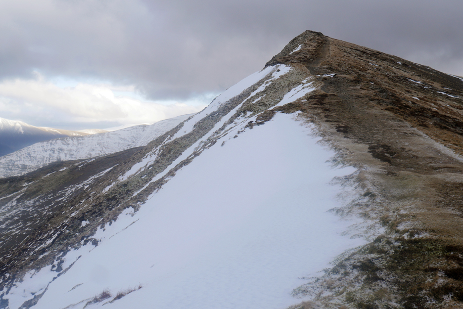
Celebrating the first patch of lying snow in the form of a remnant of a cornice overlooking the Gasgale Valley.
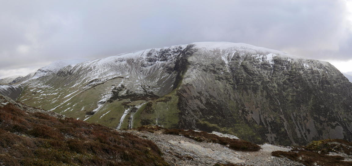
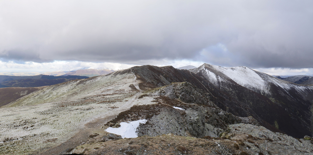
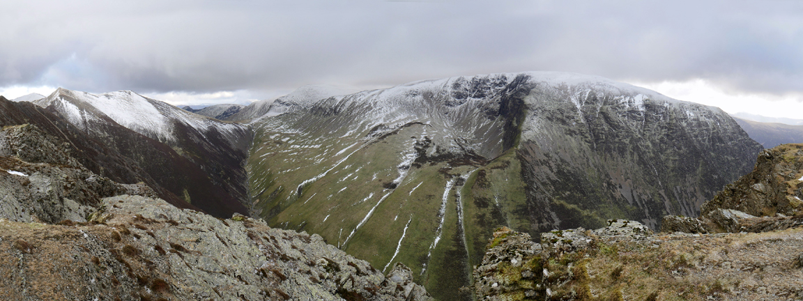
More of a panorama of Grasmoor but this time extending around on the left to our next objective, Hopegill Head.
A reverse of the earlier shot looking back along one of the best high level ridges in The Lakes.
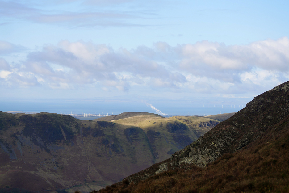
The sun has come out and tucked away here with the wind protection we had sought, we could stop and enjoy the view across the Solway.
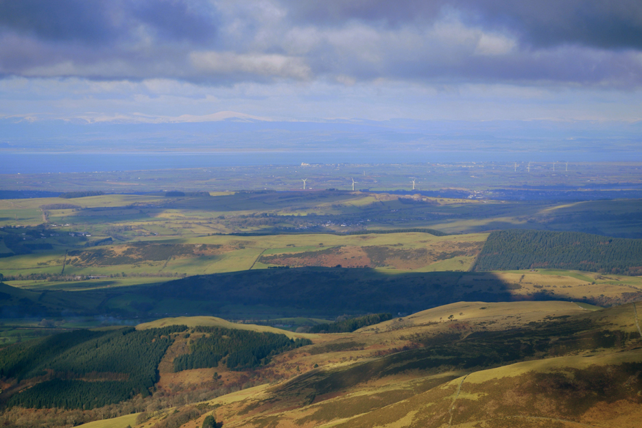
Lorton and Cockermouth below but the eye-catcher here is the grain silos at Silloth on the Solway Coast. The Next time you have a Ginger Nut or a Carr's Cheese Melt . . . that white building has played it's part in your enjoyment.
Zooming in to the max, we can make out the fields and snow on Criffel and the Dumfries Hills of Scotland.
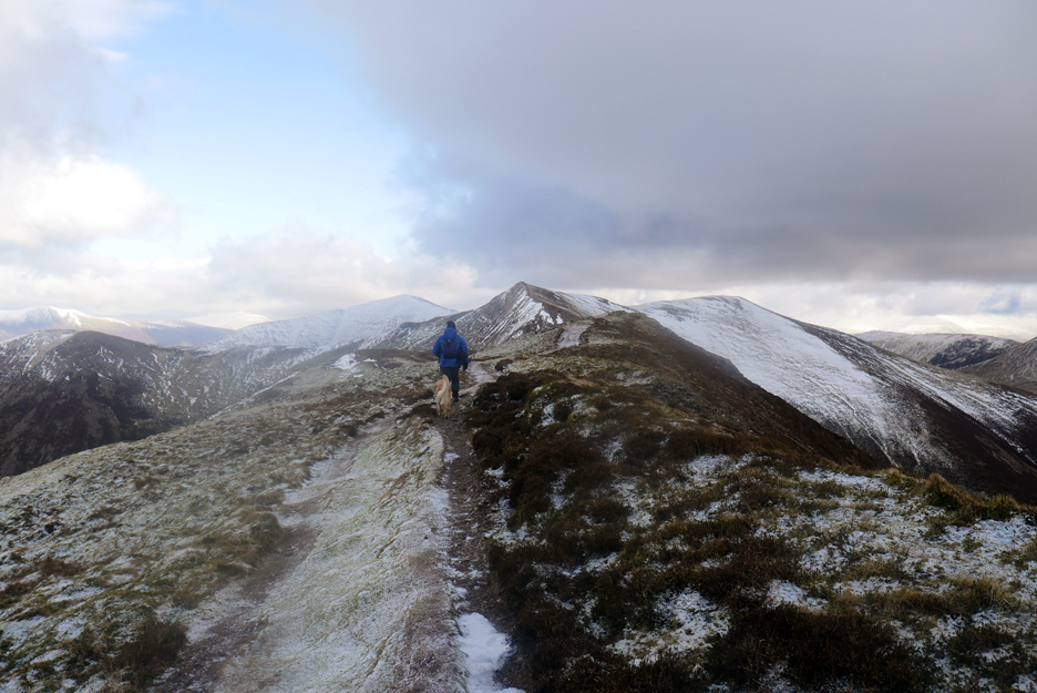
Back to the business in hand as we walk the bitterly cold ridge towards Hopegill Head We're wrapped up warm but if you take your gloves off to fiddle with the camera then you sure feel the wind chill !
A small rock outcrop allows the chance of a photo of the now distant Whiteside and the Gasgale Crags below us.
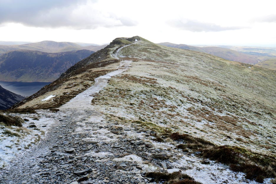
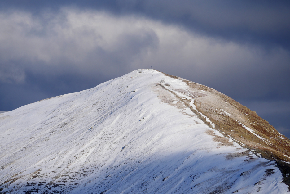
Nearing our second summit now as the Ladyside Ridge climbs to meet us at the top.
The final pull to the top.
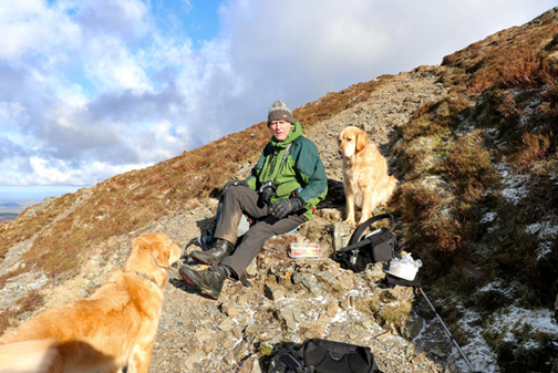
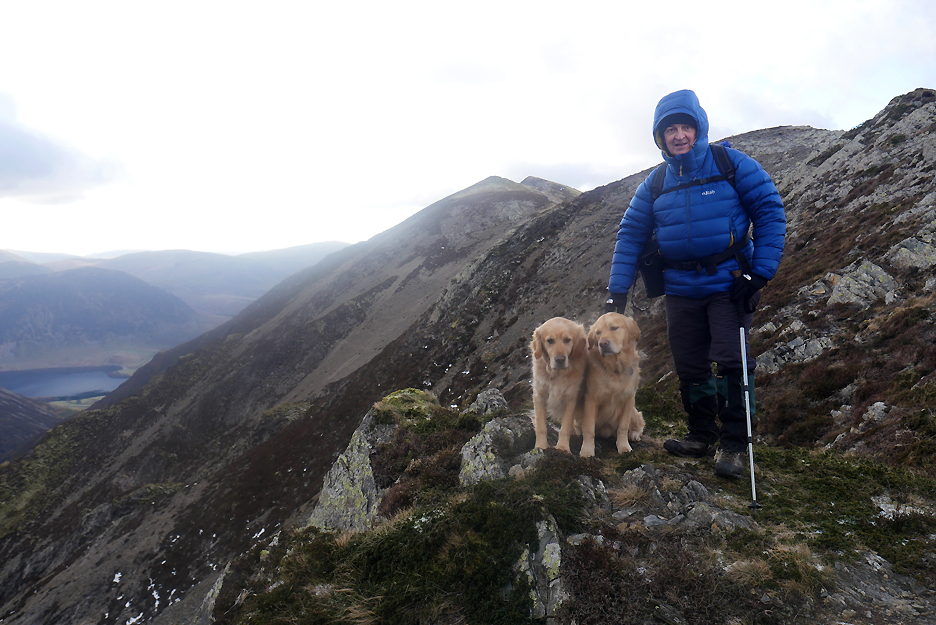
Wainwright summit number four for Martin and he is delighted. We are in shadow at present but the snow on Skiddaw in the background shone really brightly in the sunshine.
Time for a full look around at all the winter summits. Click here or on the photo above for a 360 degree annotated panorama.
A break in the clouds and sunshine floods over us and our neighbouring Grisedale Pike. In fact there's sunshine all the way to the Vale of Eden and Cross Fell on the Pennines.
What's more, if you had a keen eye in the last photo, you can see we are not alone !
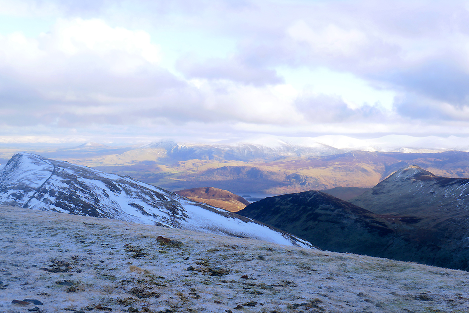
Sunshine on diminutive Barrow Fell below gives it a much warmer appearance than the ground at our feet. Beyond it is Derwent Water (where I have an invitation to walk tomorrow).
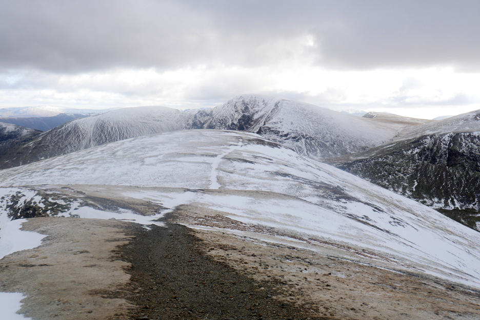
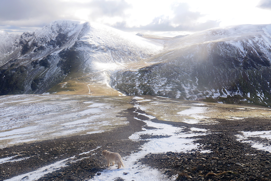
We turn the corner after Hopegill and head out across Sand Hill. The snow remaining on the path further down is quite frozen and unforgiving, so often it was easier to walk to one side.
The drama of the high fells as we leave the summit of Sand Hill and start down the shale covered slope.
The sunshine is casting beautiful light and shade so we walk to our right to get a clearer view of the Gasgale Crags.
Back on track to Coledale Hause. I did try a slight detour to show Martin the Coledale Mine buildings but they were hidden from view, even low down on the hause.
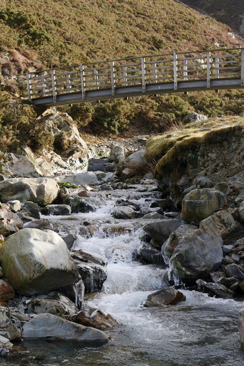
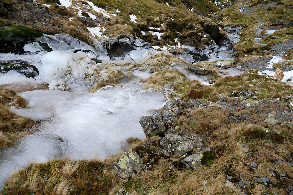
Time to be heading down following the stream, but the major problem now was ice not snow. I had spikes but Martin didn't so we planned a course over bare ground rather than risk a slippery slide to the bottom.
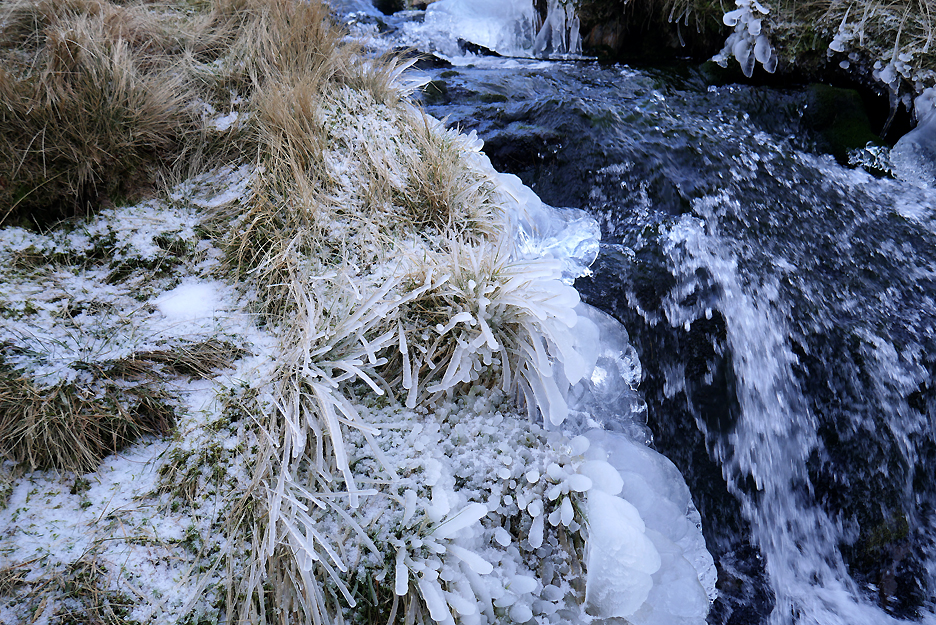
Next to this small waterfall the spray had coated the grass and turned the strands into frozen sticks.
Onward and downward avoiding more sheet ice, formed on what would have been waterlogged paths.
At the next change of slope there was a delightful ice grotto.
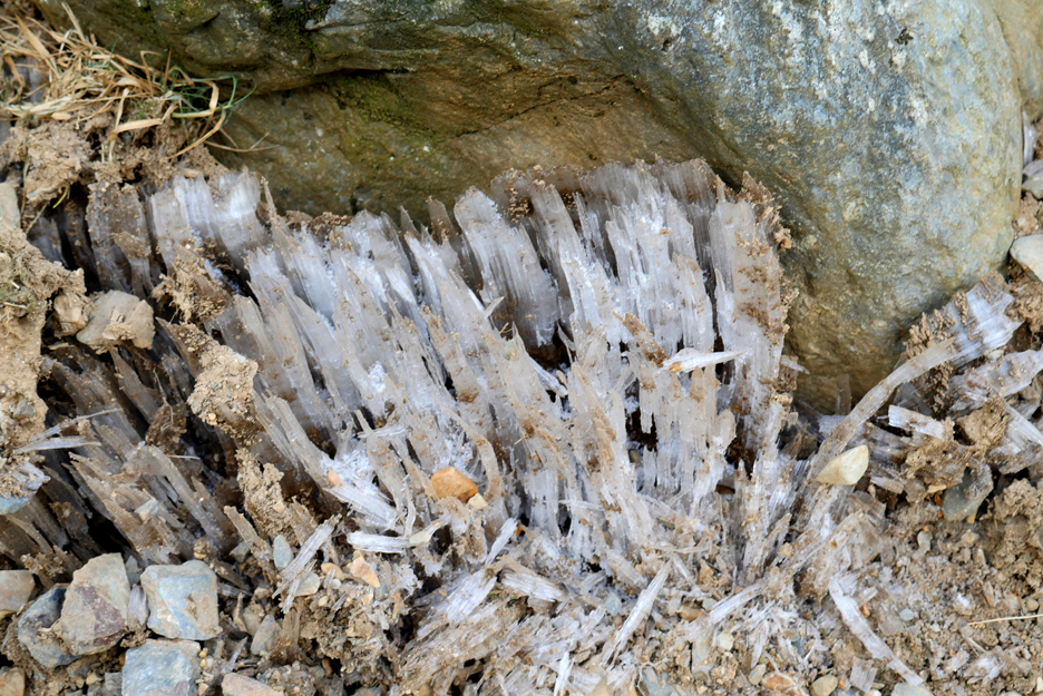
Frozen waterlogged paths had grown tall ice crystals, lifting the gravel into the air. Where the path had been muddy and wet the ice crystals had grown and lifted the surface of the soil up into the air. When you walked on it your foot compressed the frost as you collapse it back down to the normal soil level. This is visible, real time freeze and thaw action leading to soil instability and greater long term erosion of the path surface. Peter Wilson, in his book Lake District Mountain Landforms calls this needle ice.
Even down here the wet paths were occasionally covered in ice and needed avoiding.
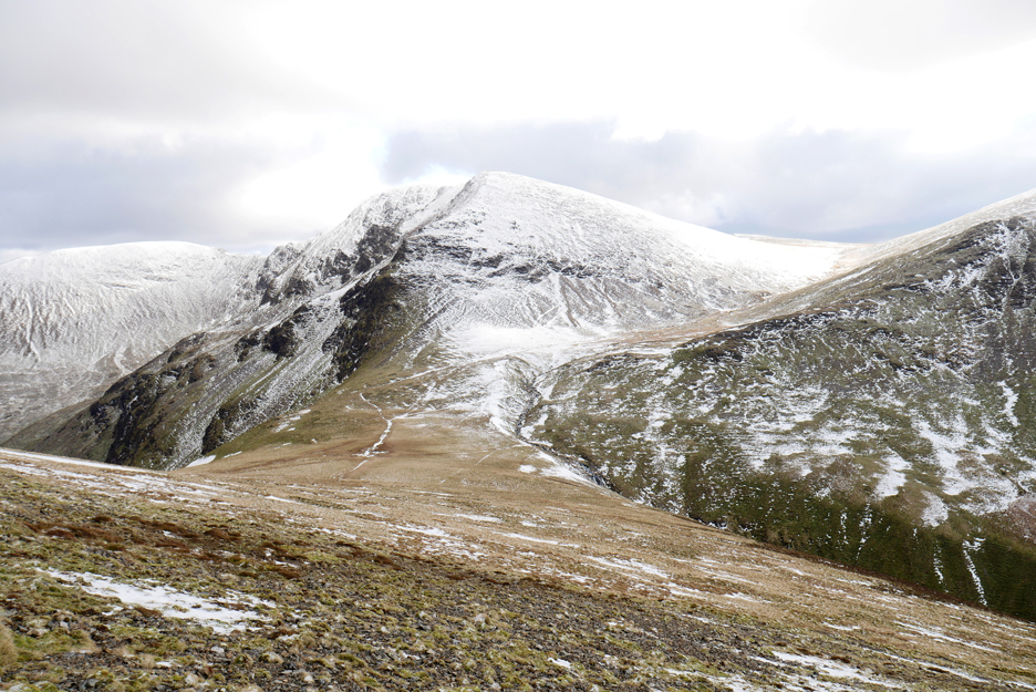
Looking back at Hopegill Head and Sand Hill that we had just conquered.
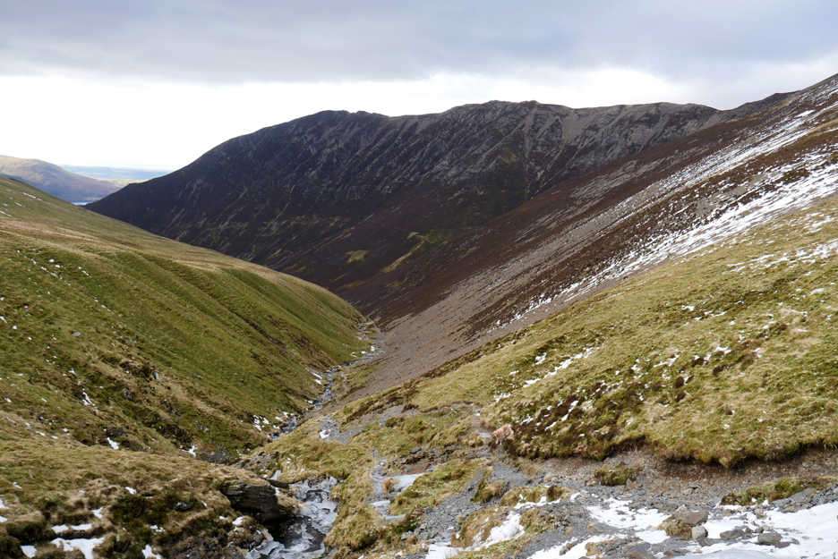
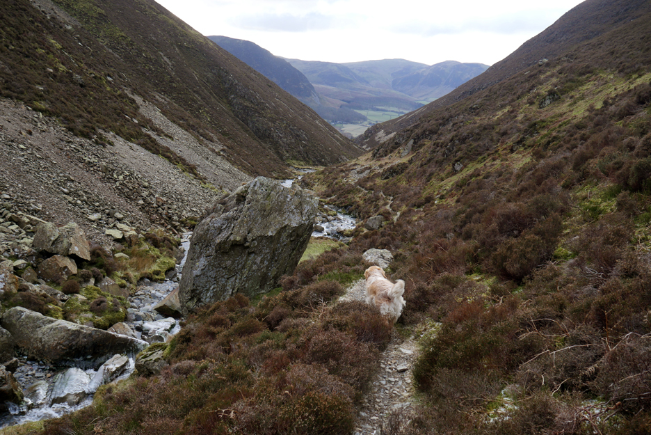
Not far now, we've reached the fallen boulder, but the valley is a long one at the end of the day.
Some of our diversions were a little more rocky than others.
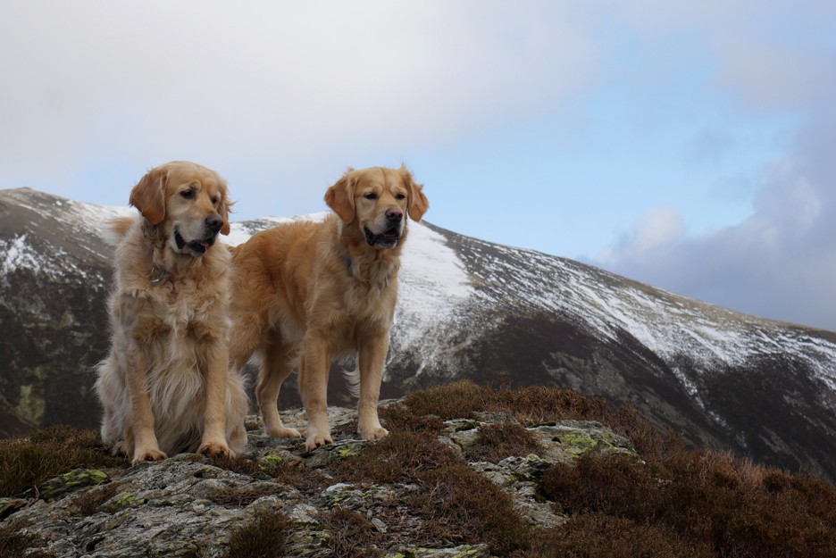
Our mountain guides show the way.
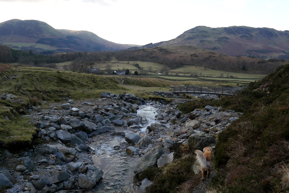
Nearly back down at the bridge.
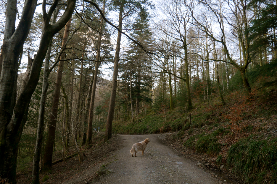
Decisions . . . do we retrace out steps via the bridleway or walk a different footpath through the woods ?
The footpath next to Lanthwaite Farm wins the day.
That gets us onto one of the larger tracks through the top of the woods.
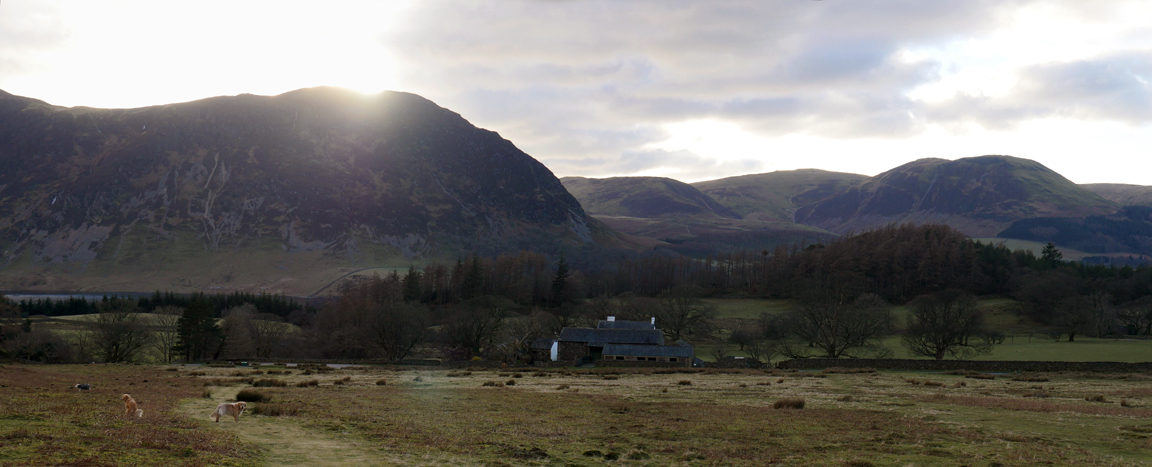
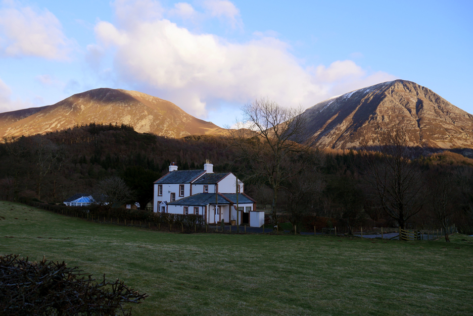
All roads lead towards home . . . back on familiar daily dog-walking territory.
As we glance over our shoulders on the final road walk to home, the sun highlights the fells but gives no clue to the sub zero wind-chill that we experienced on this lovely winter walk. - - - o o o - - -
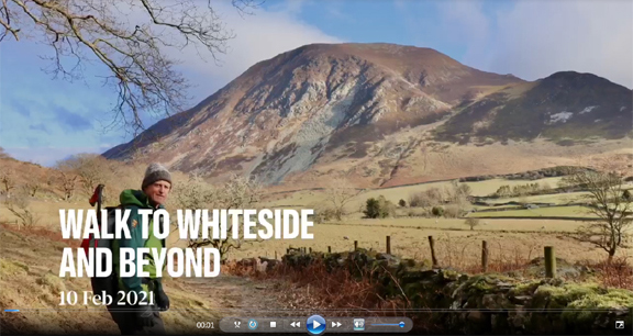
Martin was taking photos too of course and he offered me his view of the day. Click here or on the photo to play Martin's sideshow of the day he first climbed above a 2000 foot map contour line, high on Whiteside and Hopegill Head. - - - o o o - - - |
|
Technical note: Pictures generally taken with my Panasonic Lumix Gx8 Camera. Resized in Photoshop, and built up on a Dreamweaver web builder. This site best viewed with . . . predictable weather to plan a longer, winter walk. Go to Home Page . . . © RmH . . . Email me here Previous walk - 4th February - Darling Fell with Paula & Abi A previous time up here - 20th December 2006 Clear Winter Wonderland above the gloom Next walk - 11th February - Round Derwent Water with Julie
|