![]()

Remember: Press F11 for a full
screen view of this page.
Web Counter when published 1 791 873
|
|
|
Remember: Press F11 for a full
screen view of this page. |
Web Counter when published 1 791 873 |
|
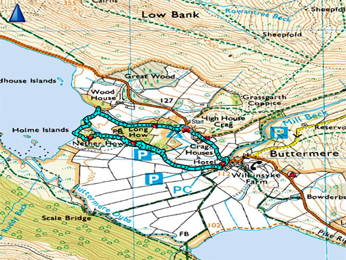
" Long How - Buttermere " Date & start time: 14th July 2020. 4.20 pm start. Location of Start : The National Trust car park, Buttermere, Cumbria, Uk ( NY 172 172 ). Places visited : Long How, Crummock shore, Syke Farm Campsite, Buttermere and back. Walk details : 1.75 mls, 175 ft of ascent, 1 hour. Highest point : At the car park at the start (and end) 435 ft - 133 m asl. Walked with : Myself and our dogs, Dylan and Dougal. Weather : Overcast but dry, mild with a slight breeze. |
© Crown copyright. All rights reserved. Licence number PU 100034184. |
|
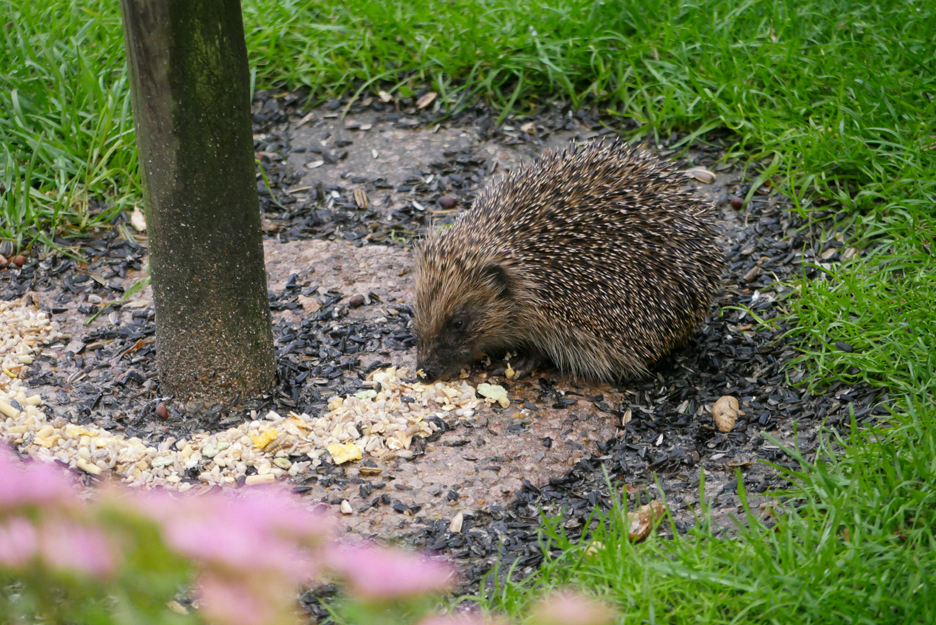
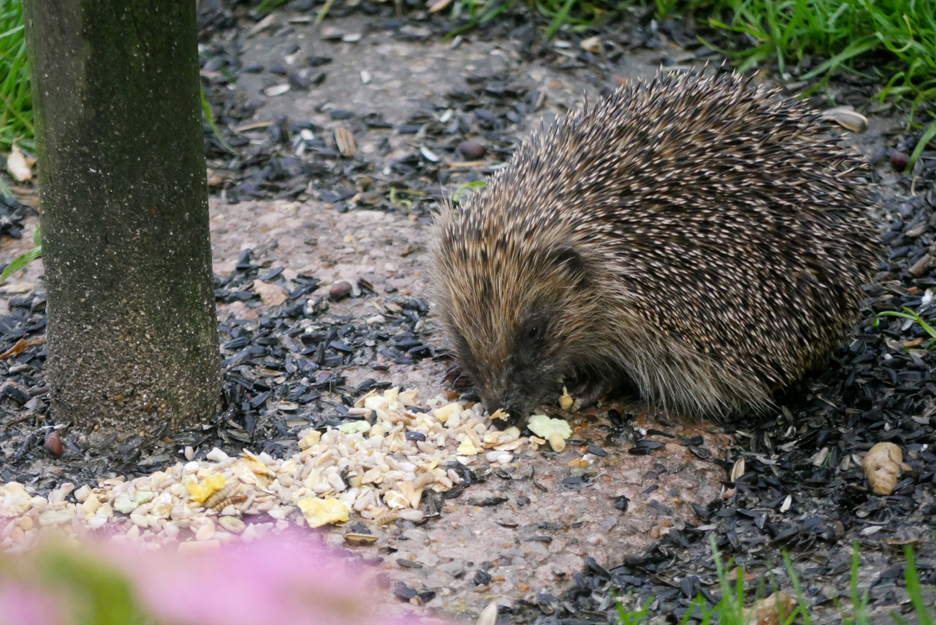
I have the opportunity to drive to Buttermere for a walk today, to do the round from Long How to Buttermere Village and back. Although the village was busy with visitors and the campsite with campers, the walk itself was quiet and I only met a few people along the way. First, a few pictures of the days prior to Tuesday, including a lovely early evening visit from our hedgehog.
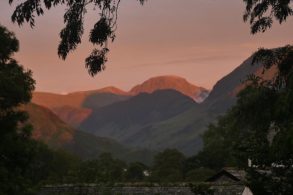
The evening of the 7th July after a lovely day, the sunset colours light up the slopes of Great Gable. The smallest wisp of cloud rises through the gap known as Black Sail Pass, that leads over to Ennerdale. Haystacks, shaded as ever from the sunset by the bulk of the High Stile Ridge, fades into an evening darkness.
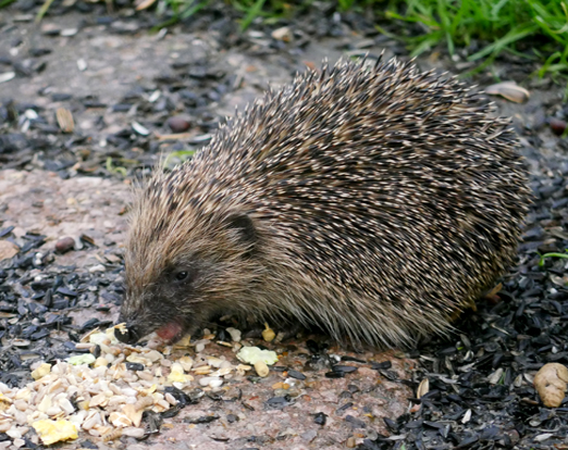
An early evening visitor to our garden, presumably here in daylight due to the shortened length of the summer nights. The lighter food is a hedgehog mix that I try and remember to put out each evening.
They seems to prefer it to the black sunflower seeds that the birds, especially the jackdaws, have dislodged from the feeders above.
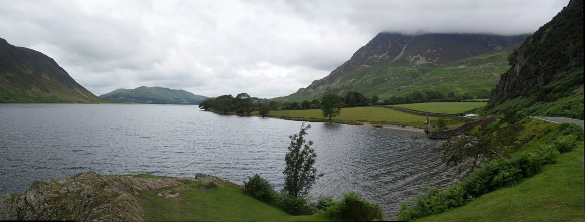
- - o o o - - - On the drive to Buttermere last Tuesday I stopped for a few photos at Hause Point on Crummock Water.
The top of Grasmoor is covered in cloud but the rest of the fells here are clear.
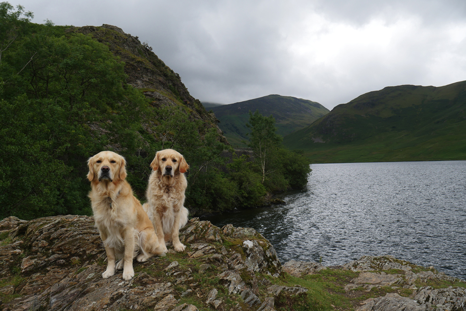
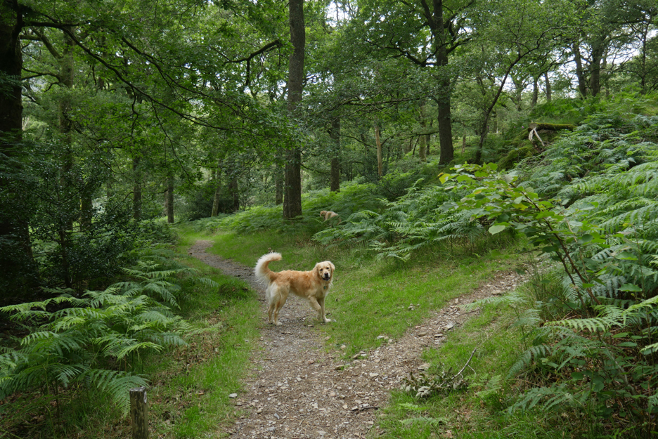
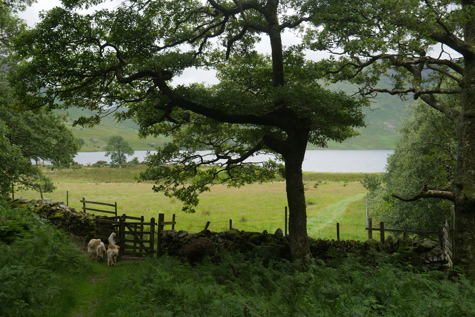
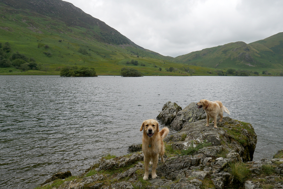
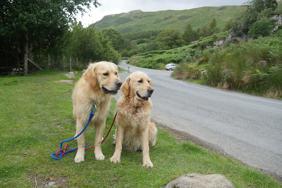
Here are my companions for today's dog walk . . . otherwise it wouldn't be a dog walk !
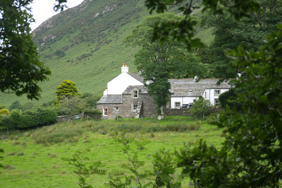
On the other side of Hause Point I pull into a passing place to let someone through and take the opportunity for an extra photo. The White house in the trees is Wood House, and the islands, naturally Woodhouse Islands.
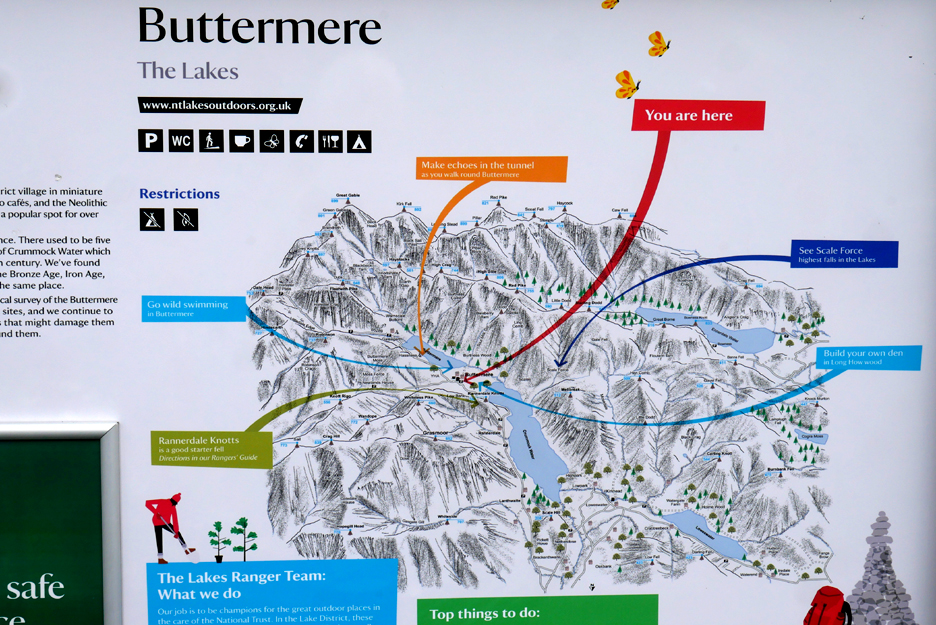
" You (and I) are Here " and I'm planning to walk in the area of flatter land between the two lakes. The light blue wording on the right says " Build your own den in Long How Wood" but I'll pass on that experience.
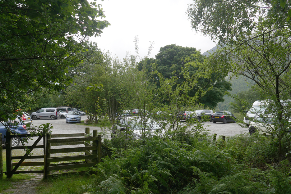
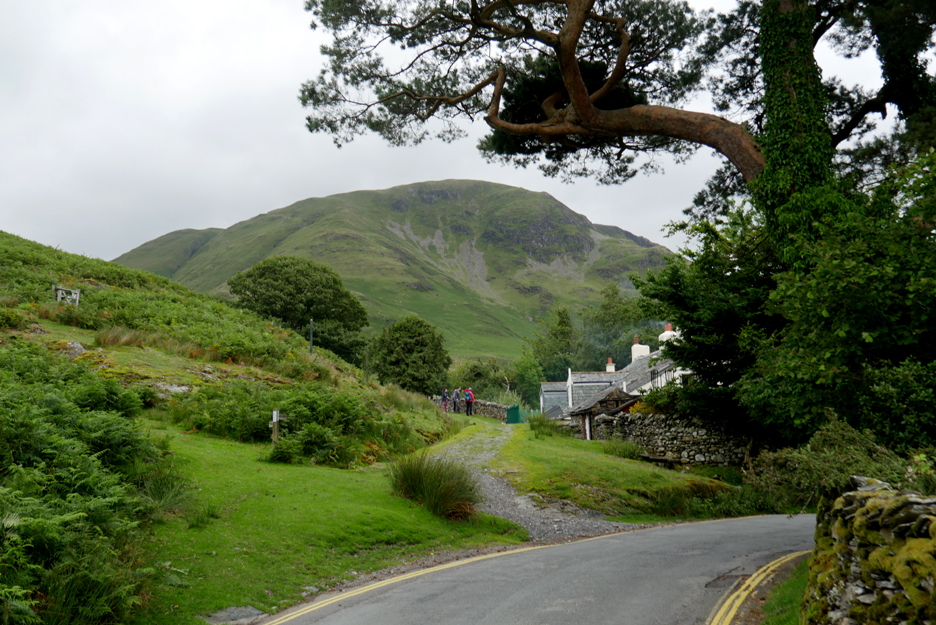
The car park is busy but there are few folk about here . . . they must be somewhere else ?
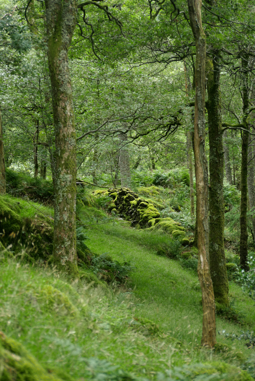
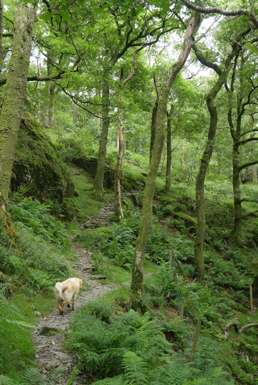
Choices, choices . . . I take a right turn and walk the path up and over Long How.
Wood House through a gap in the trees.
Rather than circumnavigate the wood, I leave by the gate half way round and head down to the shore.
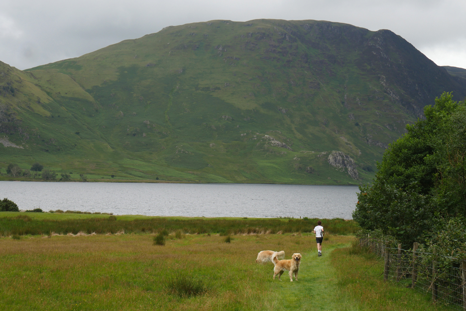
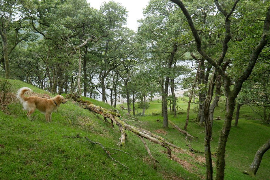
I'm passed by a runner, only the third person I've seen on the walk up till now. Dougal looks to me, then runs down to the shore at probably two or three times the runner's speed leaving him jogging in the turbulence of Dougal's slip-stream.
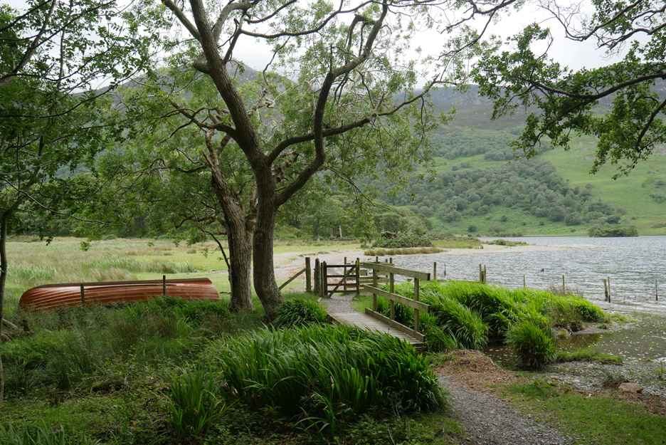
An old boat is pulled up on the shore below Wood House.
Presumably it can be launched from the jetty for guests of Wood House. This jetty will be roughly the original shape of the stonework on the old Victorian boat landing, the one by the Crummock Pump House that I saw earlier in the summer when the water level was low.
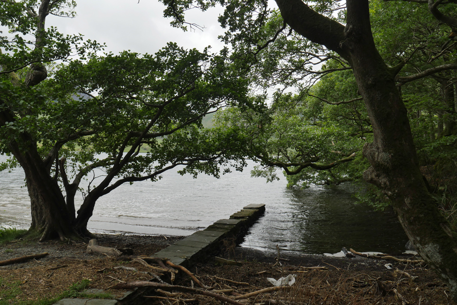
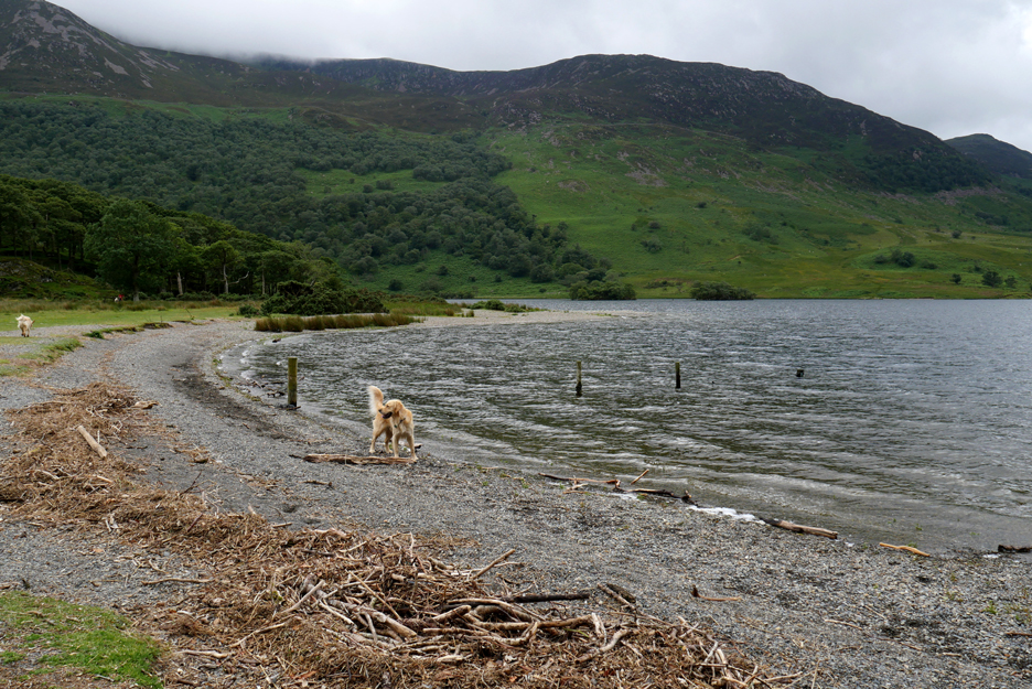
The beach has an extensive covering of natural debris, blown in on the wind.
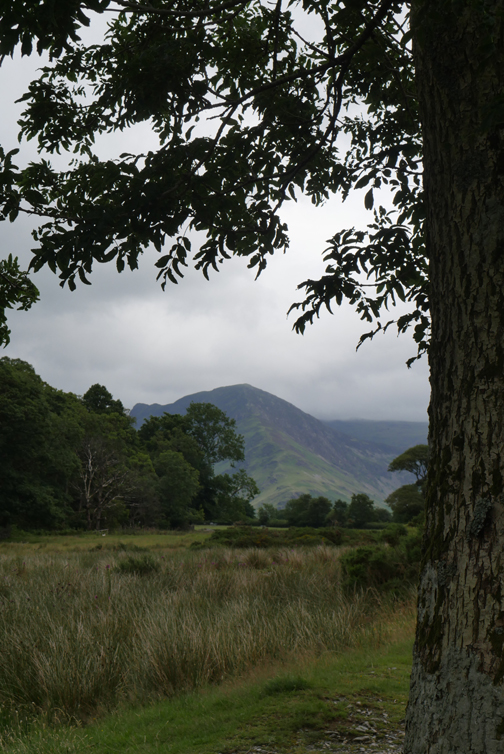
The view from the outflow of Mill Beck as it reaches Crummock Water. The bulk of Mellbreak occupies the far shoreline, along with its closer southern outlier Scale Knott.
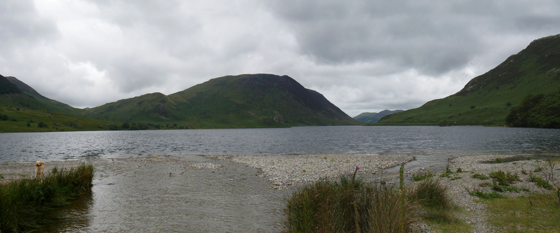
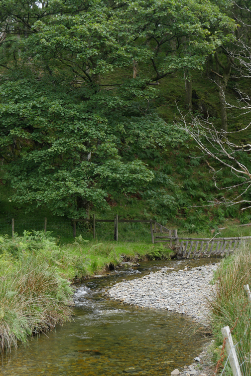
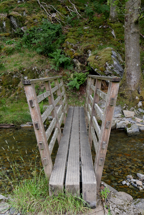
Rather than wade the stream I follow the path up to the bridge . . . it seemed like a good idea !
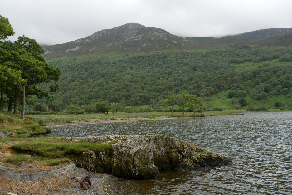
The far end of this beach has a small rock promontory.
The dogs, always keen to stand on boulders for a photo, do likewise on these rocks.
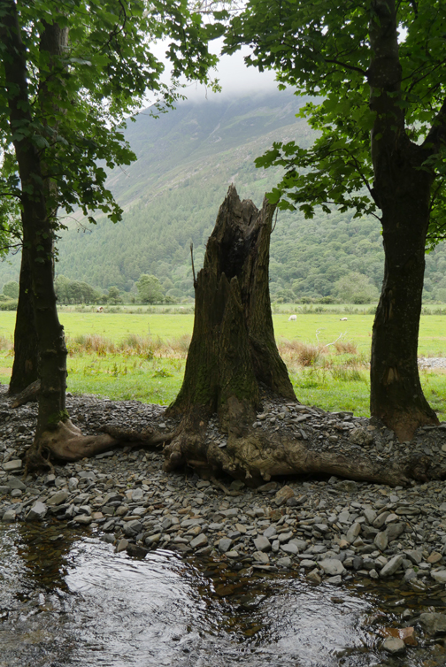
The smaller raised ground on this side of the stream is called Nether How. Less often visited but worth the short climb, the grassy knoll has fine summit, but the tree cover hampers any longer distance views.
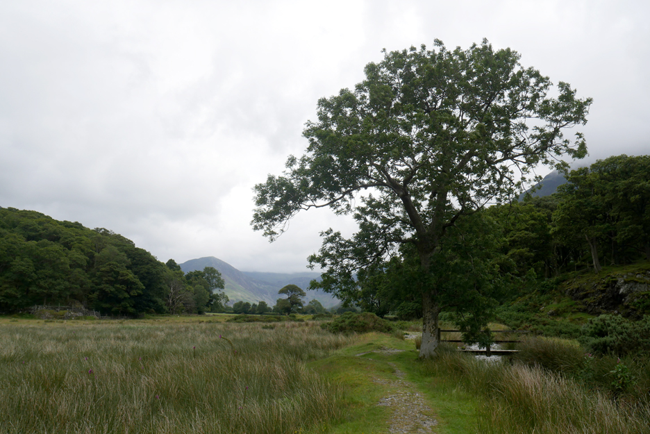
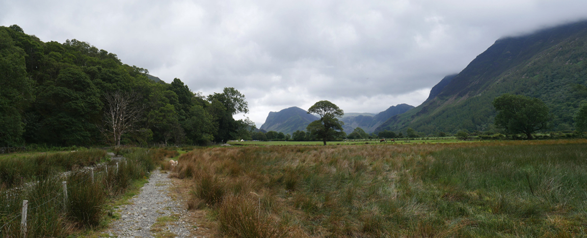
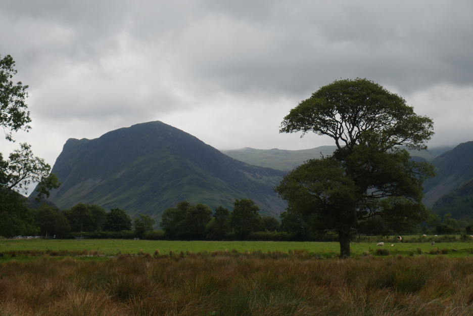
Back down in the more open fields of the valley. With the Mill Beck on my left, the view ahead extends once more to Fleetwith Pike, Brandreth and Haystacks.
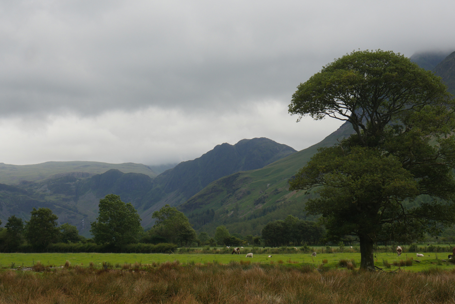
Zooming in on Fleetwith Pike and to the left the Black Star summit of Honister Crags.
Haystacks . . . almost silhouetted against the mountain clouds.
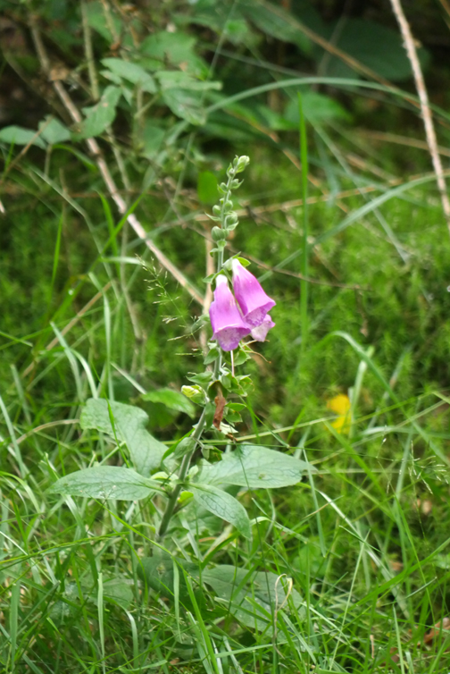
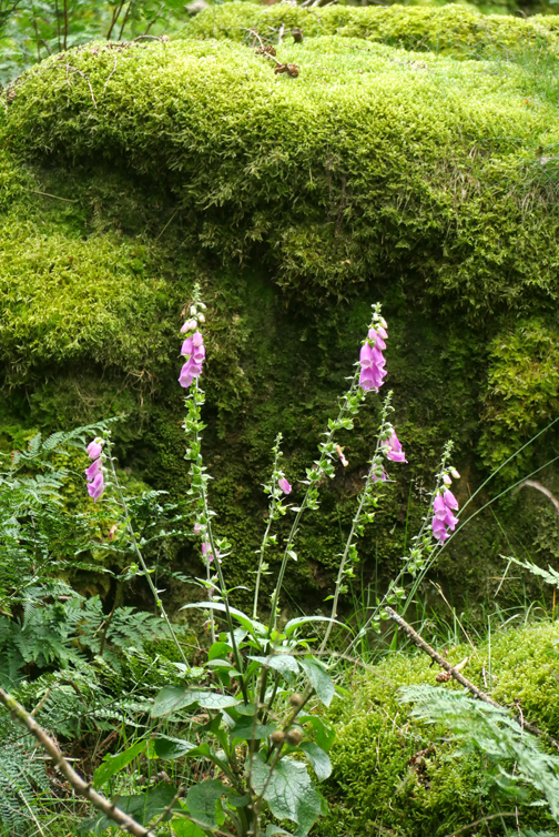
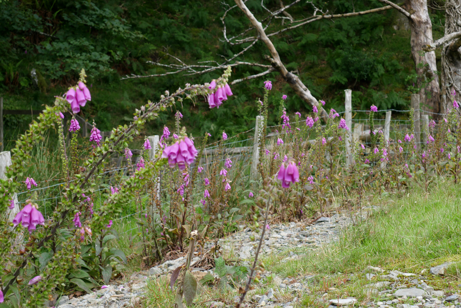
Foxgloves, great pioneer plants on the rough ground created by the excess river gravel.
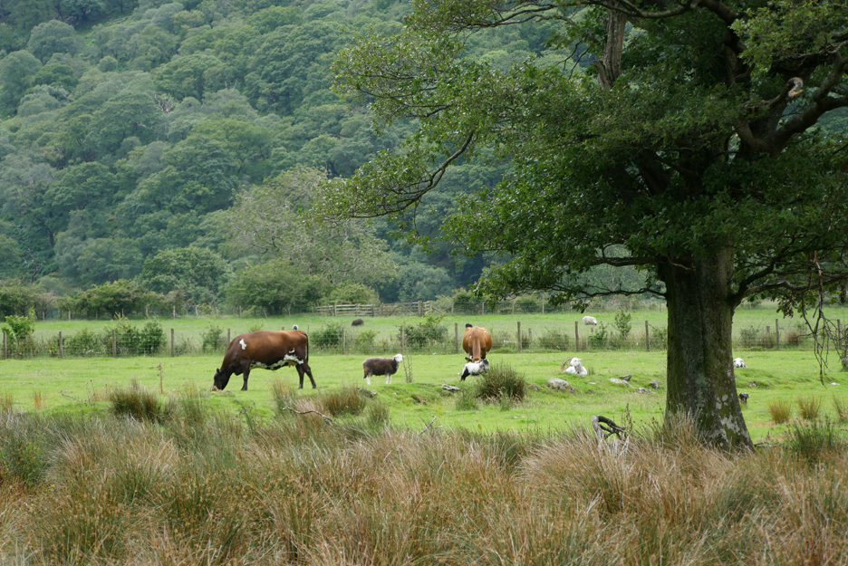
Mixed livestock farming . . . sheep and cows. I'm not sure what the farm has done with all their surplus milk this year . . . usually it is turned into ice cream for the visitors.
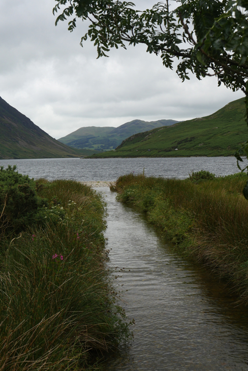
Well that was the idea . . . but in fact the lower path also heads up to the car park but via a different route. We must backtrack to the foot bridge and walk up the other bank to get to the the village itself.
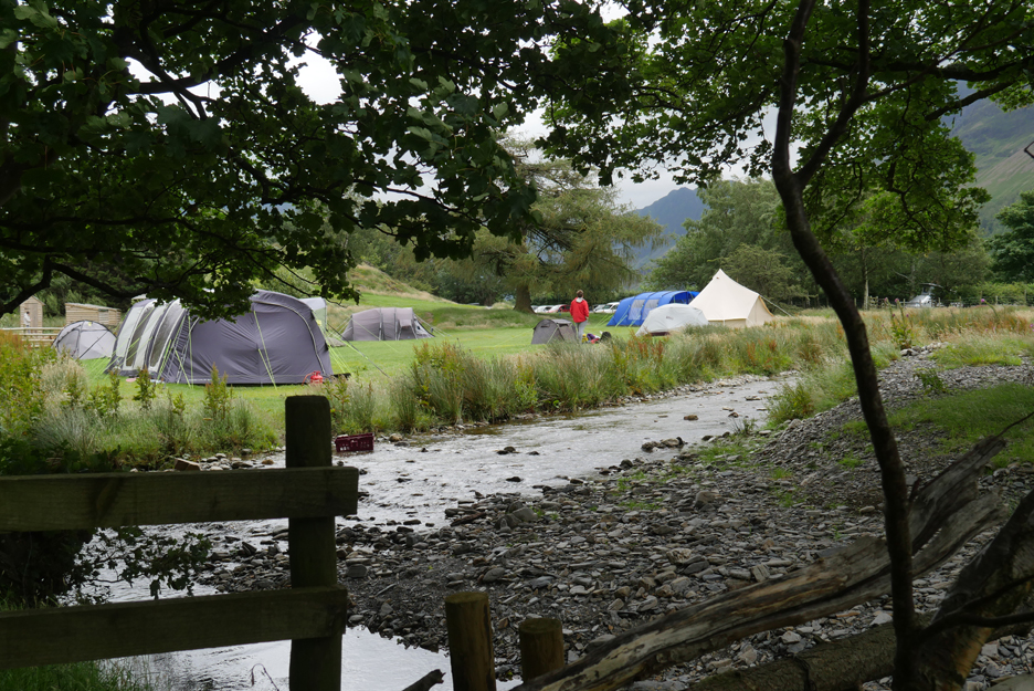
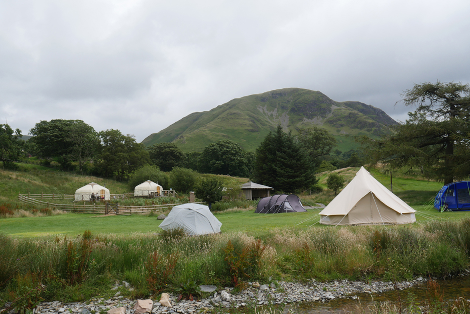
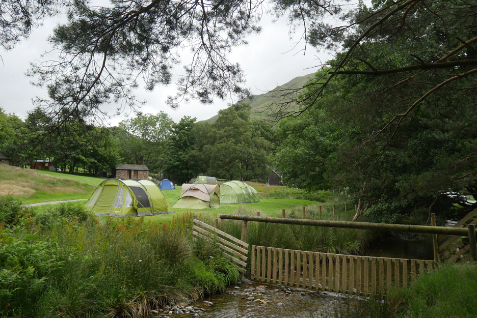
The site is relatively busy and the new camping yurts are in use too.
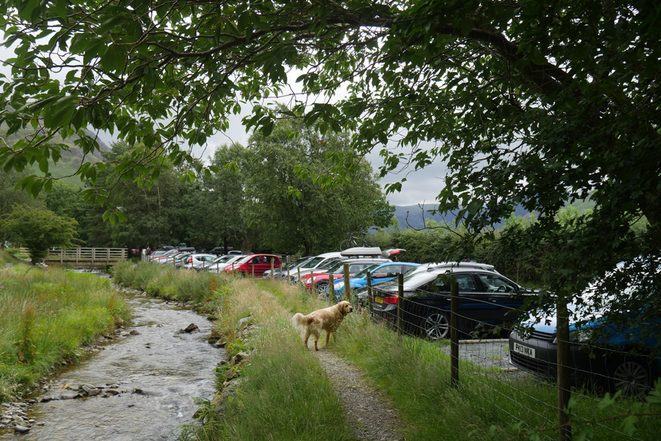
The National Park car park is busy today, just like the National Trust one was.
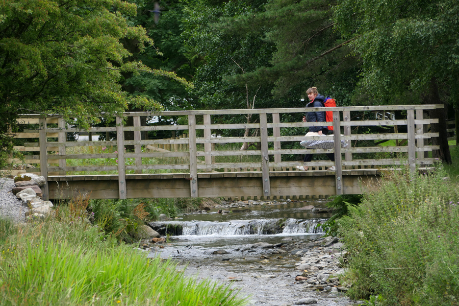
Another new season camper is crossing the campsite bridge, luggage in hand and on her back.
The older part of the campsite has a fair number of tents too.
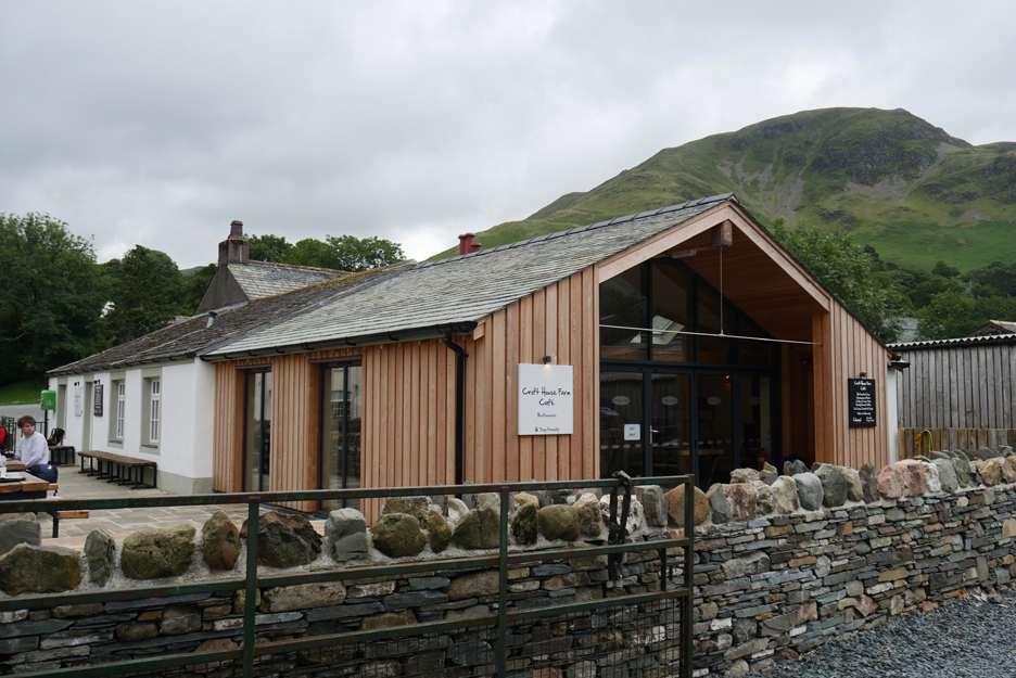
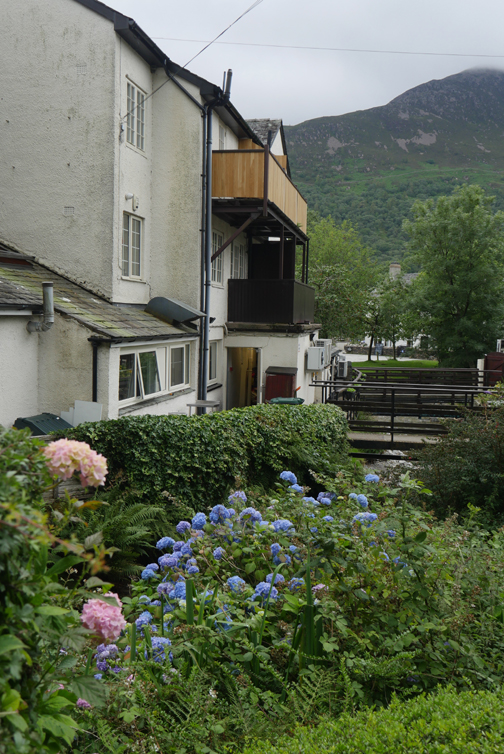
The road out of the car park takes us to the square and to the Croft Tearooms (other tearooms are available).
Their new extension is up and running and ready for the busy summer trade, once things get back to normal.
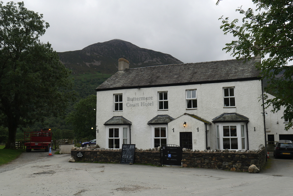
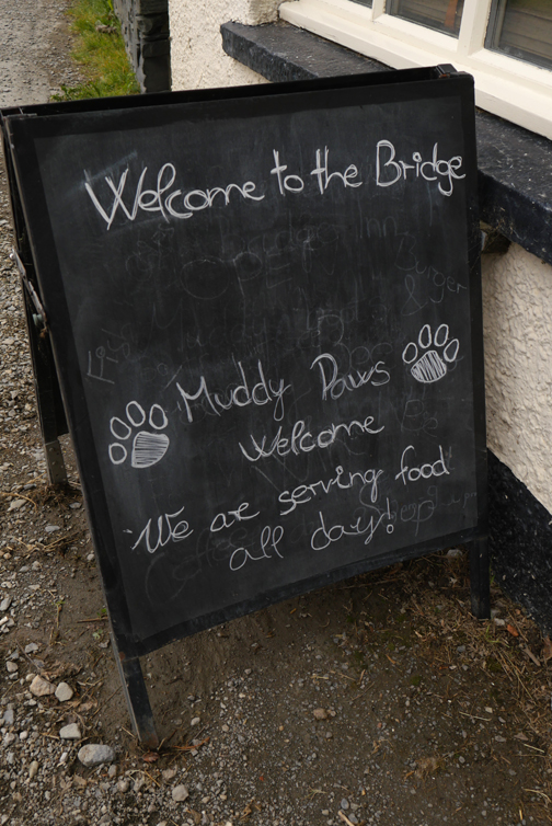
The Fish Hotel is under new ownership this year and will be hoping for great things too.
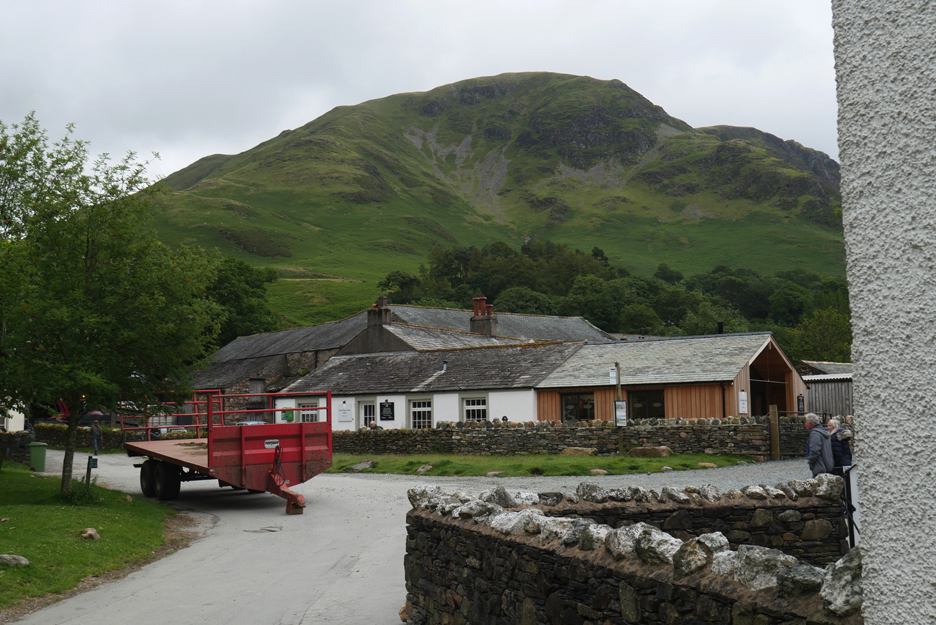
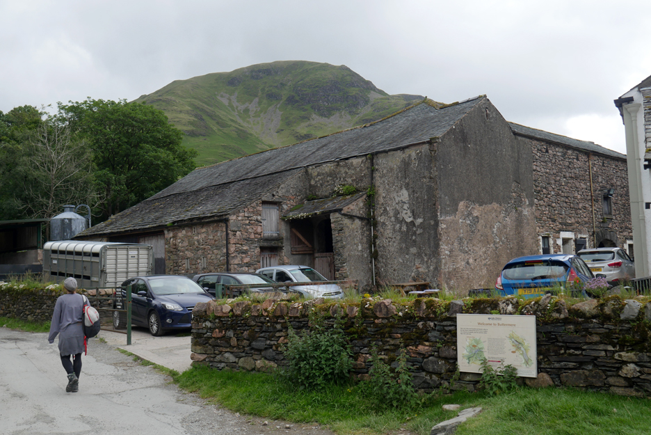
The old buildings of Croft Farm alongside the cafe are still very much in use as part of the working farm.
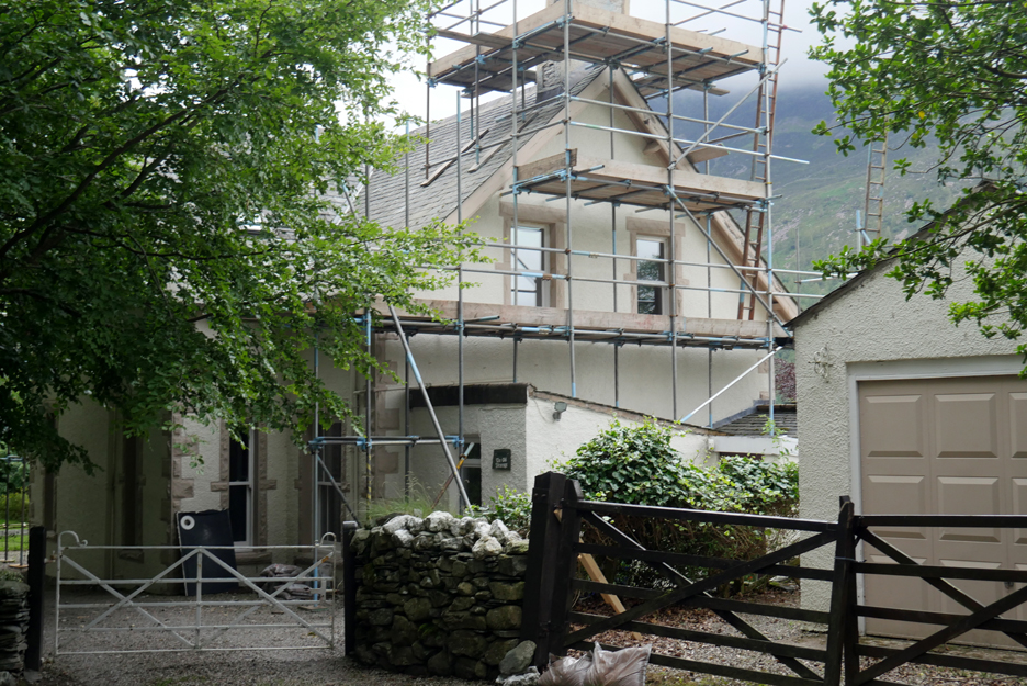
Up the hill now and passing the Old Vicarage . . . where renovations are "proceeding in Top Gear". The new owner is a certain Mr Richard Hammond.
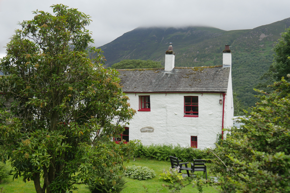
The delightful Crag House Farm alongside the road back to the first car park.
Looking back at Crag Houses, the cottages on the opposite side of the road. In the distance the slopes of High Snockrigg climb towards the summit of Robinson, out of sight behind the skyline.
A final photo shoot for Dougal and Dylan, their gaze to camera distracted by the people in the last photo. Well, as photographer you can't win them all ! - - - o o o - - - |
Technical note: Pictures taken with my Panasonic Lumix Gx8 Camera. Resized in Photoshop, and built up on a Dreamweaver web builder. This site best viewed with . . . some cash in the pocket to indulge in refreshments (sadly I forgot to take any today). Go to Home Page . . . © RmH . . . Email me here Previous walk - 6th July 2020 - High Wood and Fletcher Field A previous time up here - 3rd June 2014 - Buttermere Long How
|