![]()

Remember: Press F11 for a full
screen view of this page.
Web Counter when published 1 781 572
|
|
|
Remember: Press F11 for a full
screen view of this page. |
Web Counter when published 1 781 572 |
|
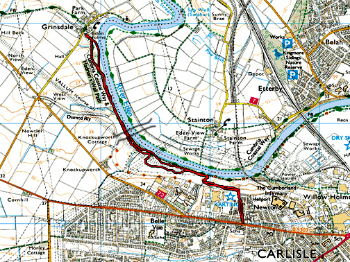
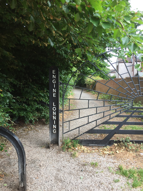
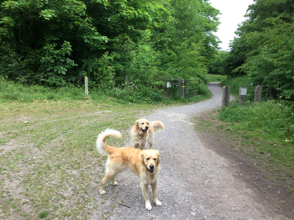
" In Hadrian's Footprints " Date & start time: 9th June 2020. 10.30 am start. Location of Start : Engine Lonning, Carlisle, Cumbria, Uk. ( NY 382 563 ) Places visited : Belle Vue Carlisle, Knockupworth Cottage, Grinsdale Village and back. Walk details : 3.3 mls, surprisingly about 300 ft of ascent, 1 hour 10 mins. Highest point : Overlooking the river when we first reached it. Walked with : Myself and the dogs, Dylan and Dougal. Weather : Overcast but dry. |
© Crown copyright. All rights reserved. Licence number PU 100034184. |
|
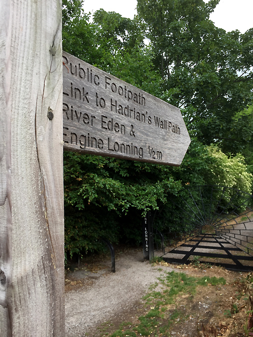
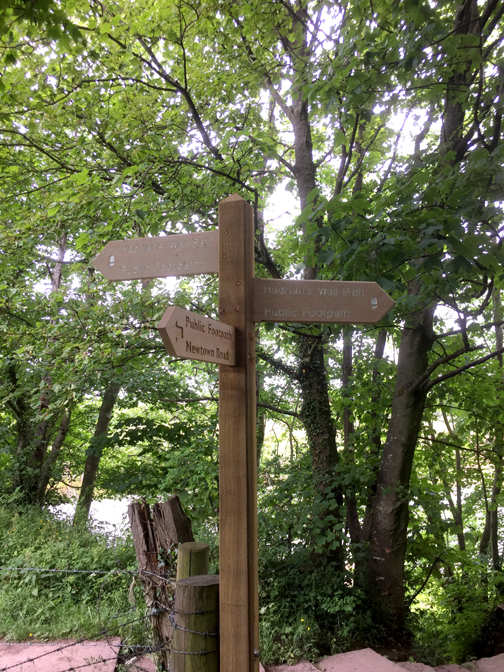
Unusually, I found myself in Carlisle for a few hours and decide to explore the map to see where we could walk the dogs today. Carlisle is famous as a border town and there's no more well known border around here than Hadrian's Wall. An urban signpost directs me to a local section of the long distance Hadrian's Wall path.
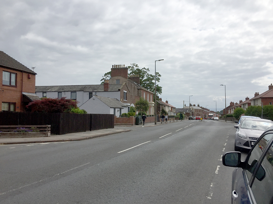
Parking was on the Moorhouse and Kirkbampton Road heading west out of Carlisle.
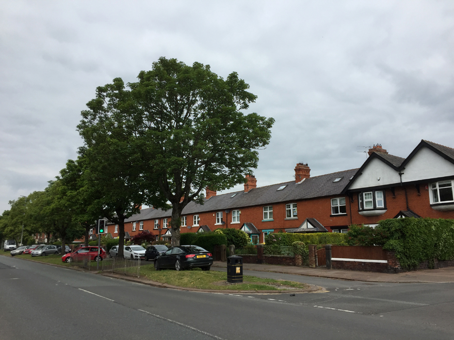
An unusually urban start for our walk today . . . but we're aiming for more rural pathways. I cross the main road and take the side turning, heading north towards the river.
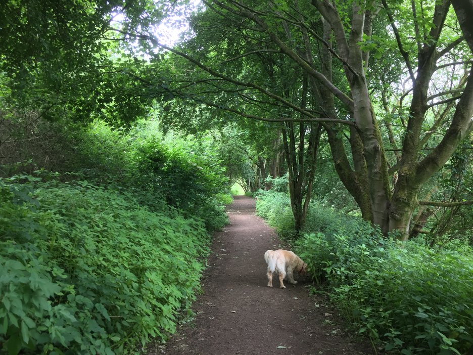
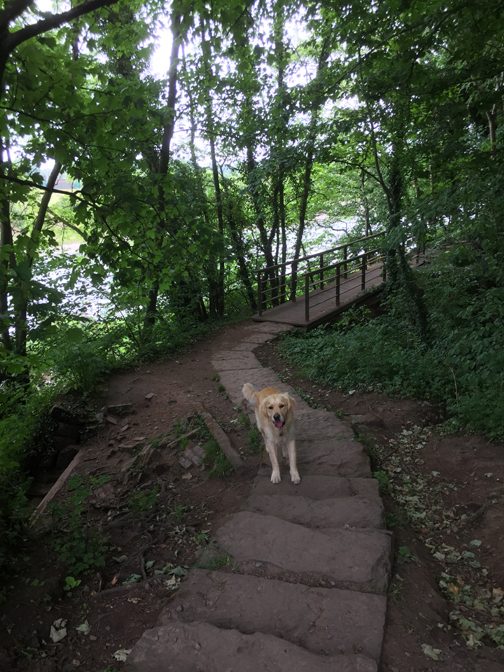
The path leads down to the woodland on the banks of the River Eden, just a mile west of Carlisle town centre.
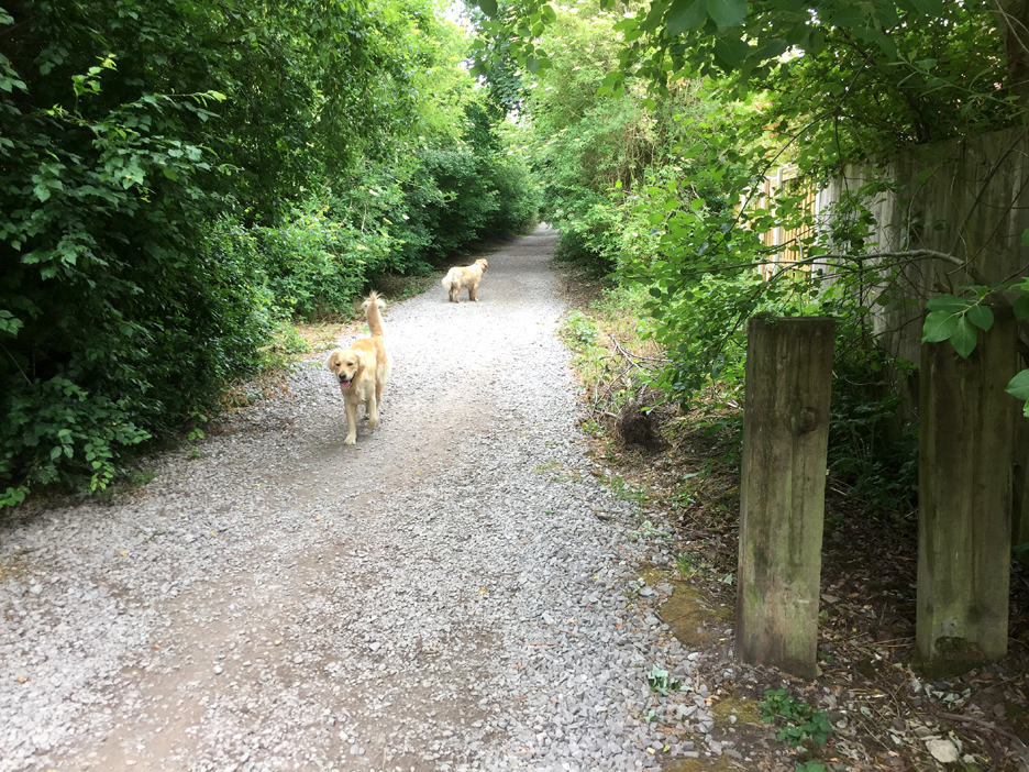
Sure enough . . . we join an old railway track, now designated as part of the Hadrian's Wall long distance footpath.
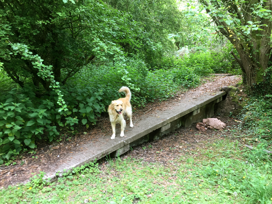
The old railway ran from Carlisle west to Port Carlisle, to connect the town to the head of navigation of sea-going boats at that time. The railway was built in 1854 along the line of the canal which was initially constructed in 1823 for exactly the same purpose. Along the way we passed this stone ramp which was very reminiscent of old railway architecture.
[ At this point the footpath doubles up as a section of both the Hadrian's Wall Path and the Cumbrian Coastal Way.]
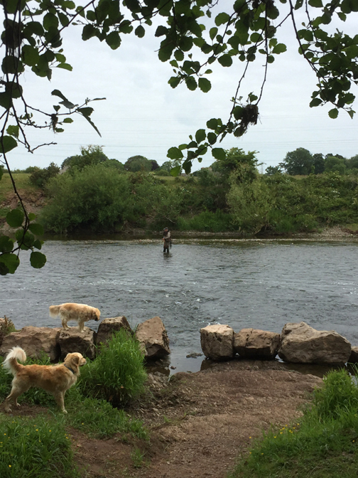
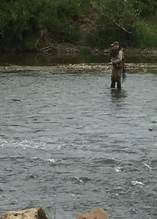
I thought fishing was a quiet, contemplative pursuit away from the cares of the world. This chap had however mastered the art of one-handed fishing whilst using his mobile phone in the other . . . modern times !
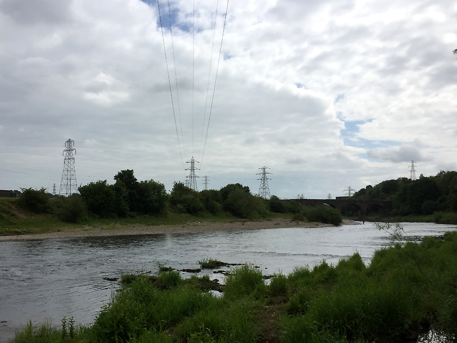
Further up river there were two other fishermen and just visible, the outline of an old railway bridge over the Eden.
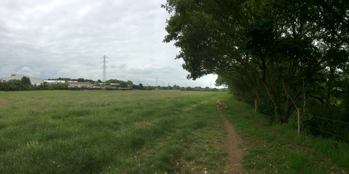
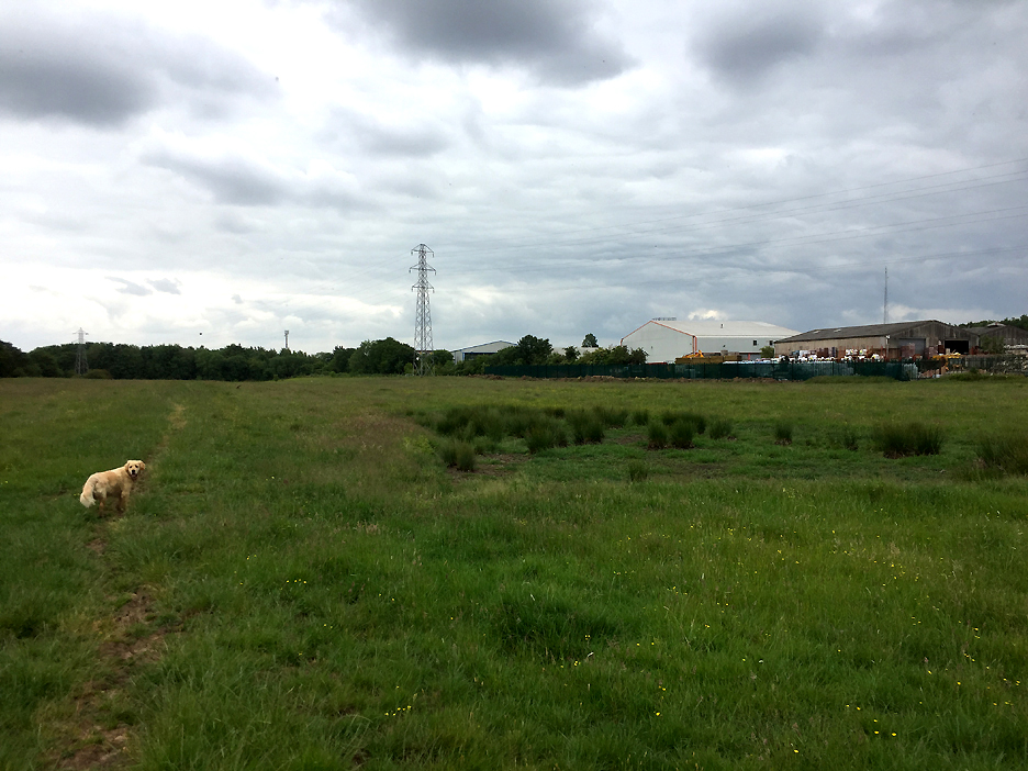
After the urban start and the gravel lonning, the path now turns to follow the river along the edge of open farm fields.
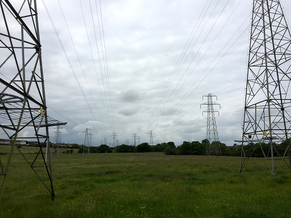
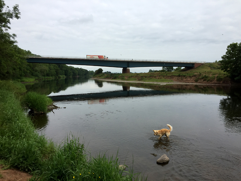
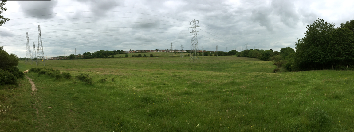
Five parallel rows of power lines fly overhead, as at this point we are less than a mile from the Carlisle Power Station.
Surprise . . . the new Carlisle By-pass bridge didn't show on the old Ordnance Survey map that I was carrying. [ For your convenience I've added it as a rough scribble on the map at the top of the page.]
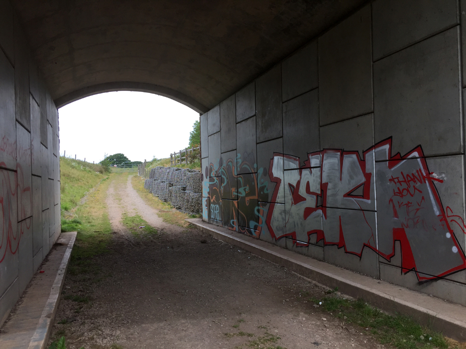
Talking of rough scribbles, the underpass that carries the path and the farm access road under the by-pass, has also been scribbled on. Some call it art, others graffiti . . . it would make more sense to me if you could at least understand the words or the background concept.
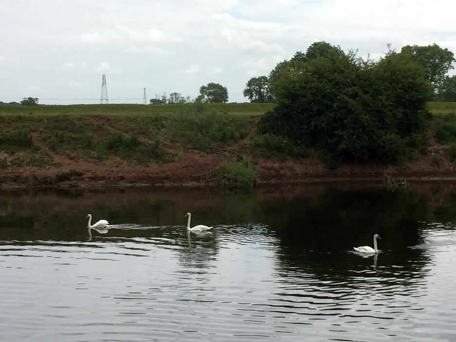
Wildlife on the river in the form of three fine swans.
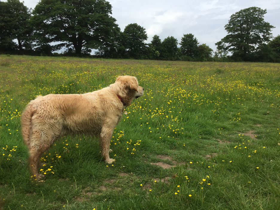
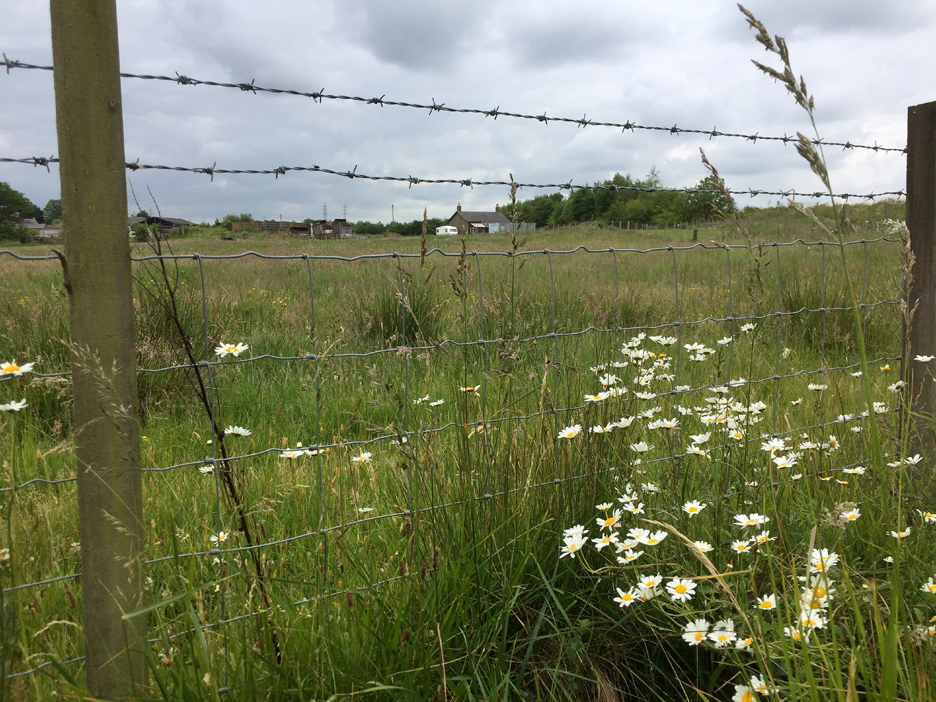
The path continues on, through some lovely flower meadows.
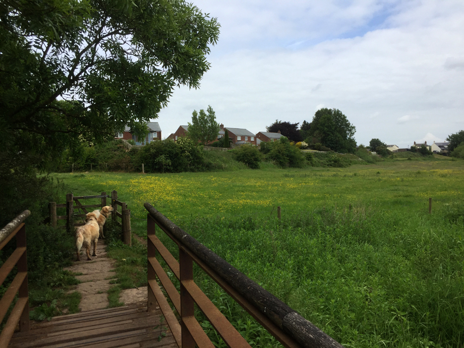
The long distance path turns away from the river as we approach the village of Grinsdale. It will touch the river once more at the village of Beaumont 3 miles further downstream before heading west to meet the sea at the Solway.
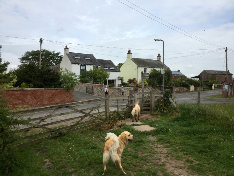
A good place to turn and retrace our steps, as we've arrived at the road in the village of Grinsdale. Seeing the two ladies socially-distancing as they converse with each other, it is amazing how social habits change so quickly.
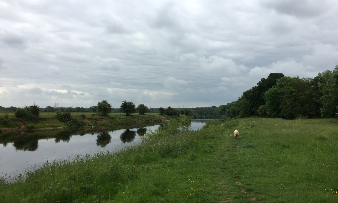
The sky looking east now is just as overcast as it was looking west on my outward walk. Down by the river again, looking ahead at the bridge on the by-pass, but from the western side this time.
The delightfully names Knockupworth Cottage, one field back from the river. Their quiet rural setting must have been disturbed in recent years by the building of the new road in the field behind them.
Back to those pylons . . . and the symbol I read carelessly on the map as power lines turns out to by the course of the Roman Vallum, a ditch and mound system that ran along the southern side of Hadrian's Wall and which crosses the field ahead of me. On this part of the Hadrian's Wall route it was thought that the river would form a natural barrier so there's no formal Roman stone wall to see. There are however milecastle sites, the vallum ditch as shown on the map and the course of the old railway line to Port Carlisle.
I divert slightly from the riverside walk onto a path that follows the vallum ditch across the field. Presumably the reed filled hollow seen here would be part of that ditch system. The Vallum's purpose is unclear. Many archaeologists think it marks the southern boundary of a military zone with the Wall itself forming the northern boundary.
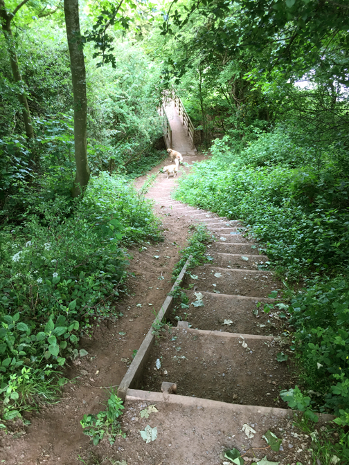
Back to the signpost we passed earlier by the river, then up the footpath to the old rail track and we're back on level ground. Here we're just about to walk back up Engine Lonning as we return to the outskirts of town.
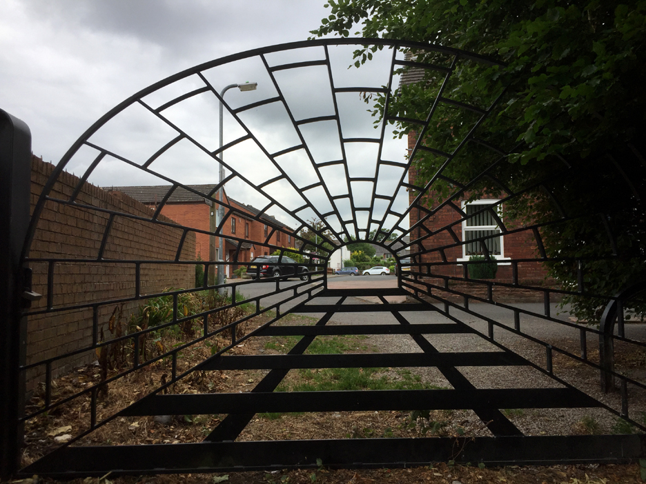
What looked like a nice wrought iron gate on the way down suddenly gained artistic meaning as the iron work was highlighted against the lighter sky behind. The end of the walk . . . and there's the car waiting for us at the far end of the virtual railway tunnel. - - - o o o - - -
|
Technical note: Pictures today taken with my iPhone 6s. Resized in Photoshop, and built up on a Dreamweaver web builder. This site best viewed with . . . an up-to-date map of the area. Go to Home Page . . . © RmH . . . Email me here Previous walk - 7th June 2020 - Lock-down Garden and Paddock A previous time up here - 20th June 2016 - Meg's Roman Wall Tour Next walk - 12th June 2020 - A brief encounter with Gasgale Gill
|