![]()

Remember: Press F11 for a full
screen view of this page.
Web Counter when published 1 711 018
|
|
|
Remember: Press F11 for a full
screen view of this page. |
Web Counter when published 1 711 018 |
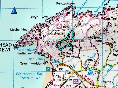
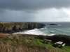
| " West Wales - 2019 - Carn Llidi "
Date & start time: Monday 14th October 2019. Morning local, walk in the afternoon. Stayed at : Doves Cottage, Abercastle, Pembrokeshire, UK. ( SM 852 338 ) Location of Start : YHA, Whitesands, St Davids, Pembrokeshire, UK. ( SM 740 276 ) Places visited : Whitesands Bay, Carn Llidi, St Davids and Solva. Walk details : 1.8 miles, 585 ft of ascent, 1 hour 40 minutes. With : Ann and our dogs, Dylan and Dougal. Weather : Somewhat overcast but visibility was good. |
© Crown copyright. All rights reserved. Licence number PU 100034184. |
|
On Monday we had the day to ourselves to explore and to re-do a short climb that we've enjoyed on previous visits to the area. After lunch we parked near the Youth Hostel, difficult in the busy season, but easier today as there were few folk about. The Pembrokeshire countryside is fairly level so climbing the hills like Carn Llidi would give us good views despite its modest height.
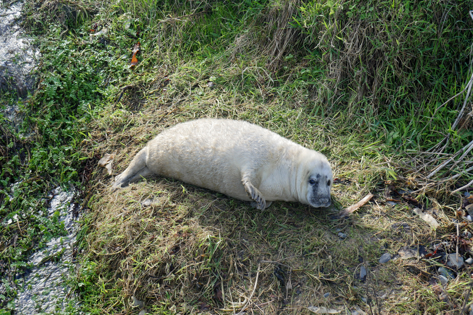
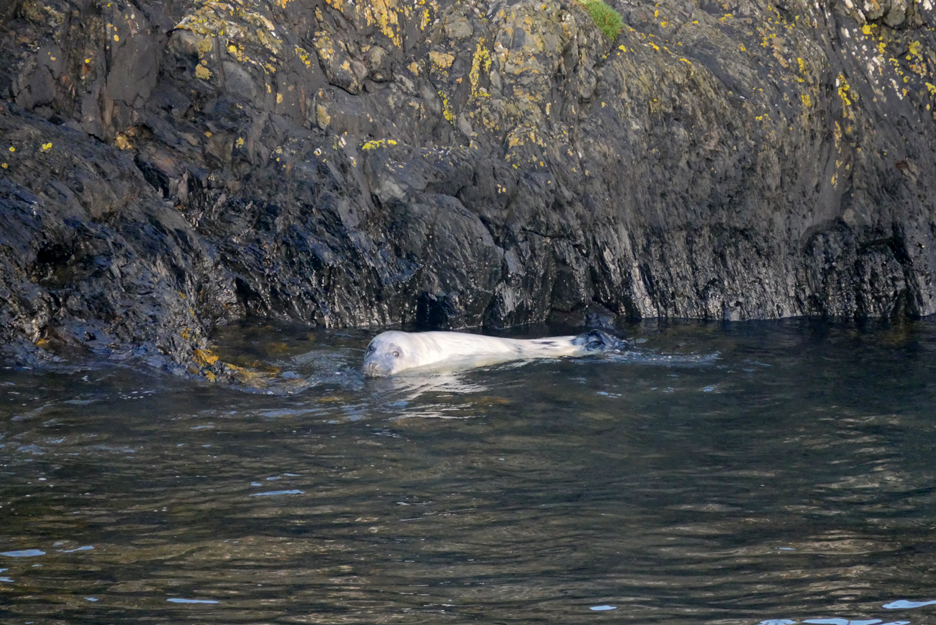
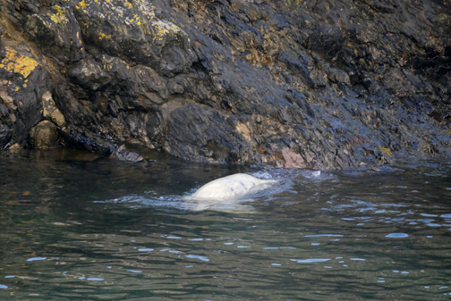
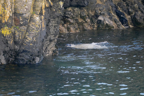
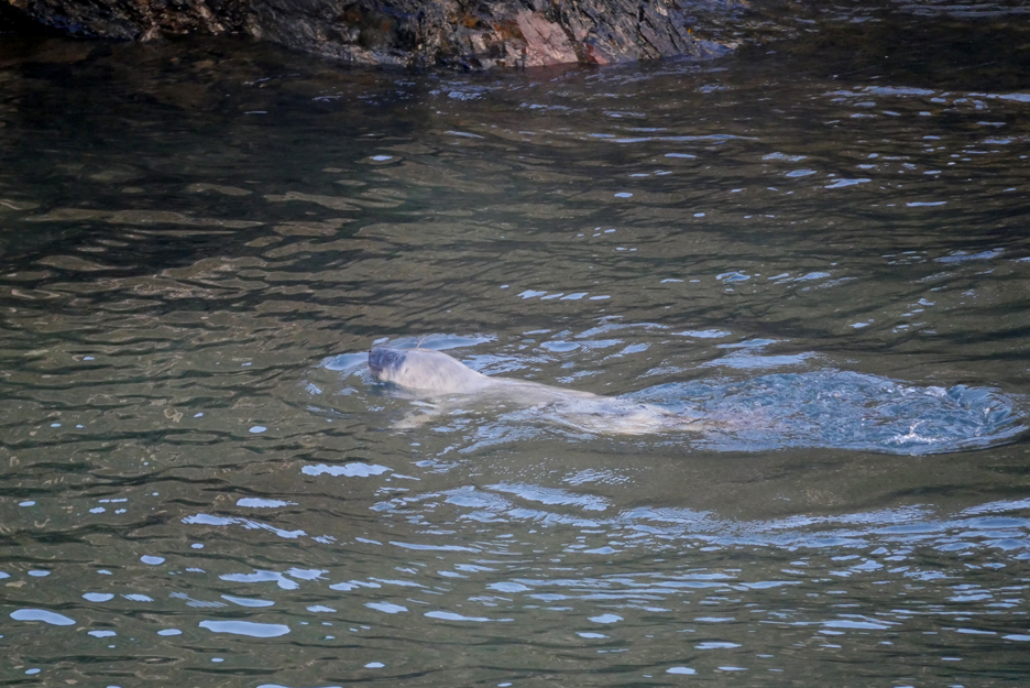
Remember the seal pup in Abercastle that we saw on Gareth's walk ?
This morning he's up and about, swimming in the bay.
He/she's a really strong swimmer with powerful tail flippers to move him through the water.
A delightful sight to start the day.
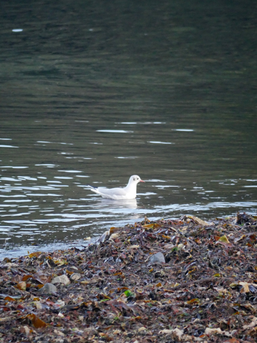
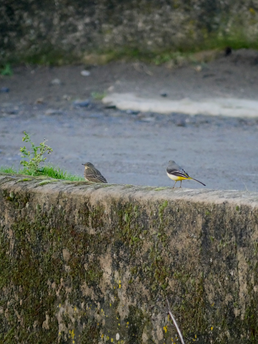
Mustn't forget the other wildlife of course. On the left, a common gull or young herring gull (take your pick) and on the right a rock pippet and grey wagtail - - - o o o - - -
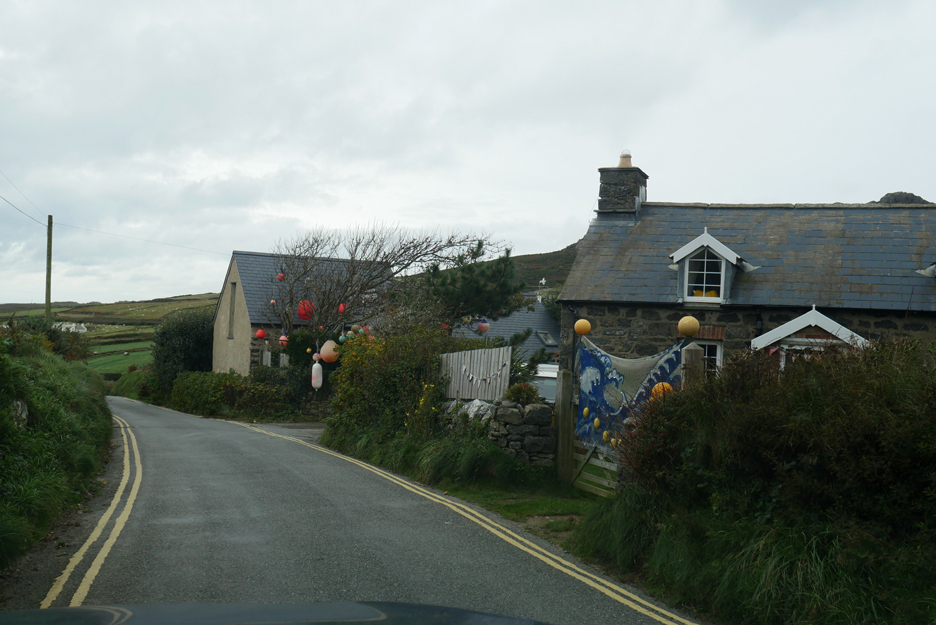
After lunch we drive down towards St Davids. This was an eye-catchingly decorated home on the approach to Whitesands Bay.
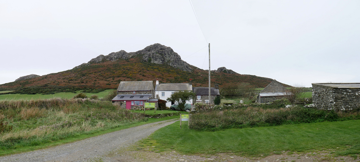
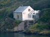
St David's Youth Hostel at Llaethdy, situated beneath the slopes of Carn Llidi.
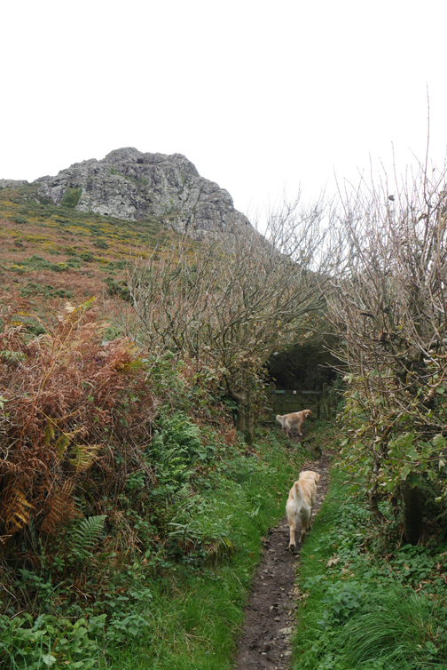
The view improved as we climbed up towards the open hillside.
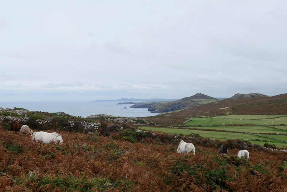
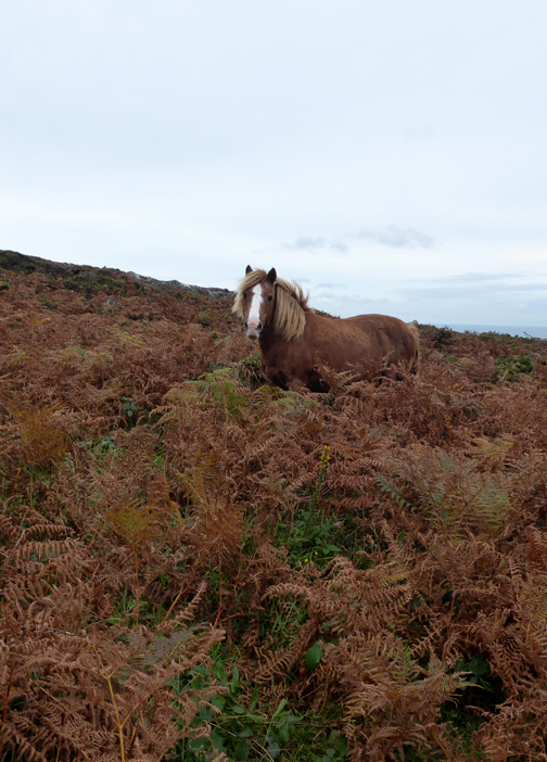
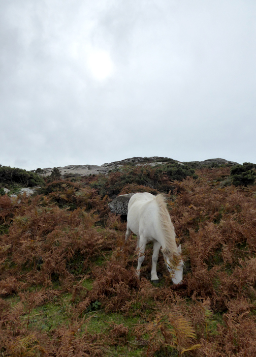
Ahh . . . the reason for more specific notice on the gate. There was a large and beautiful looking group of ponies, totally unphased by the presence of ourselves or the dogs.
They were also too busy eating to look at the views . . . but then perhaps they had seen them all before.
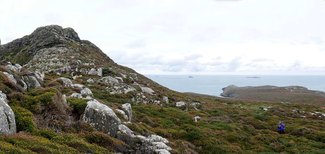
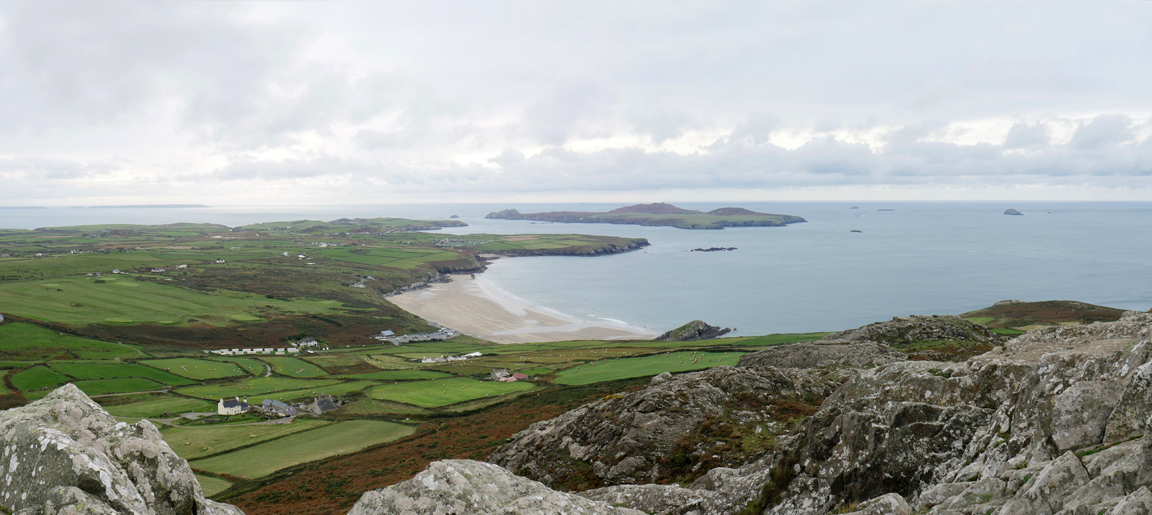
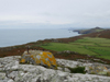
The climb to the top was just short of six hundred feet but the terrain was not the simplest. There were few paths and plenty of boulders but sufficient visitors to keep a small path open to the final and delightful scramble to the top.
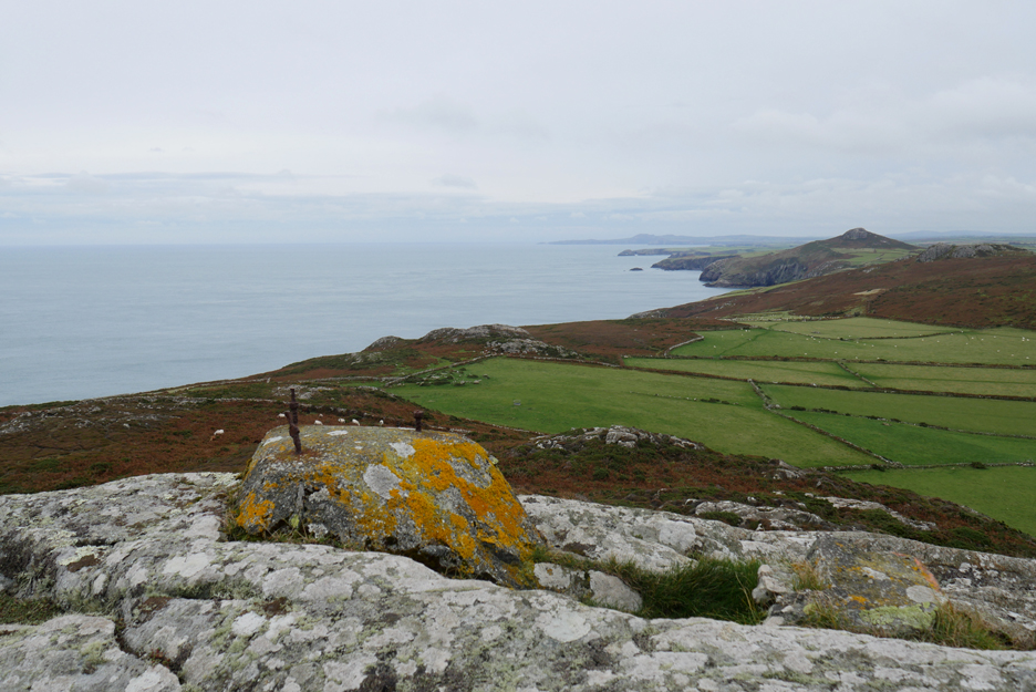
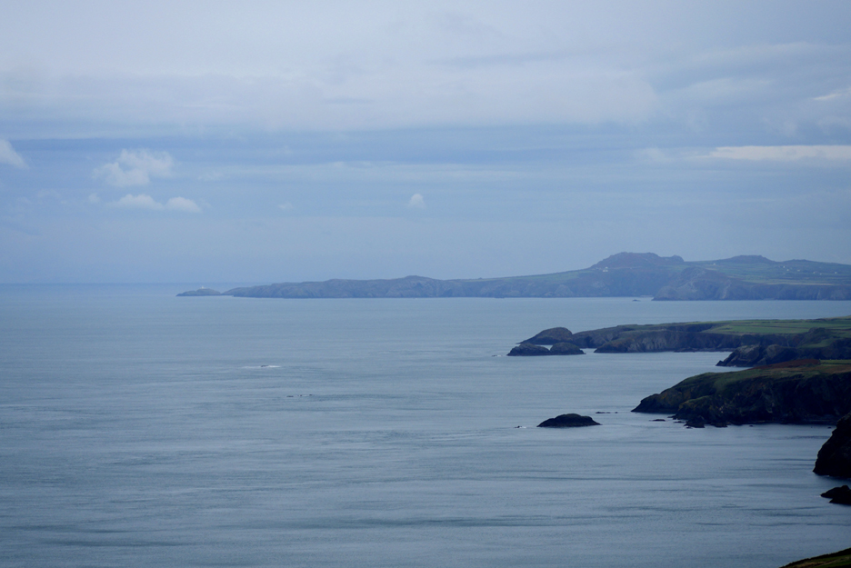
The extensive view north up the coast towards Strumble Head. The triangular peak in the middle distance is Penberry Hill. An old plinth and rusty bolts suggested this had been used for an old wartime radio mast, taking advantage of the high ground.
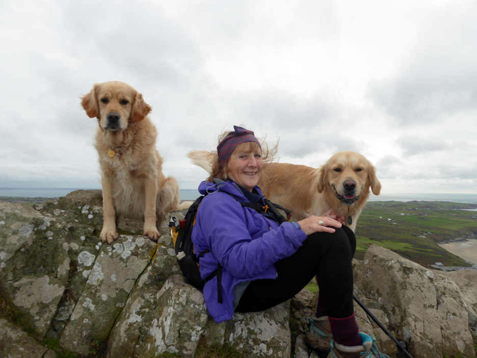
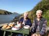
Room for three on the summit.
Not the warmest place in the world but we stopped for a while to look around.
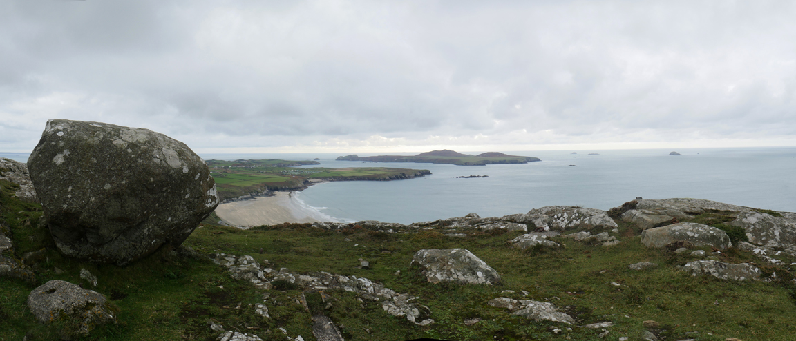
This was the view to the south west over Ramsey Island and out into the Atlantic.
To see the view in better detail click here or on the photo for a Loweswatercam 360 degree annotated panorama
Grassholm Island eight or nine miles out to sea, and the famous rock reef called The Bitches in the sound between the St Justinian's headland and Ramsey Island.
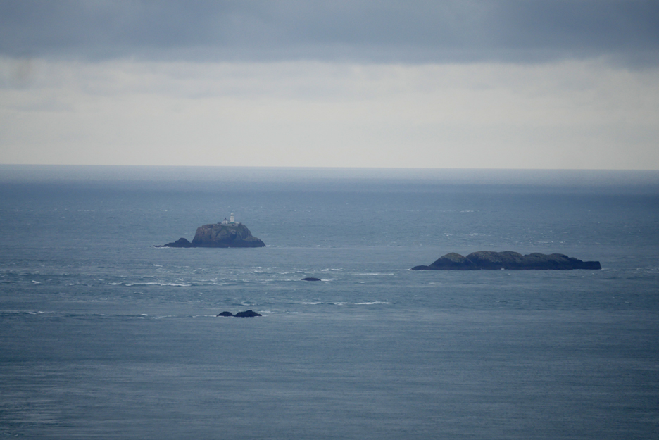
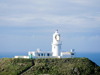
South Bishop Lighthouse marking the outer rocks of the Bishops and Clerks reef that juts out into this often busy shipping lane. To the left Milford Haven, to the right the Irish Sea and Liverpool. Out of sight in the distance, Ireland and America.
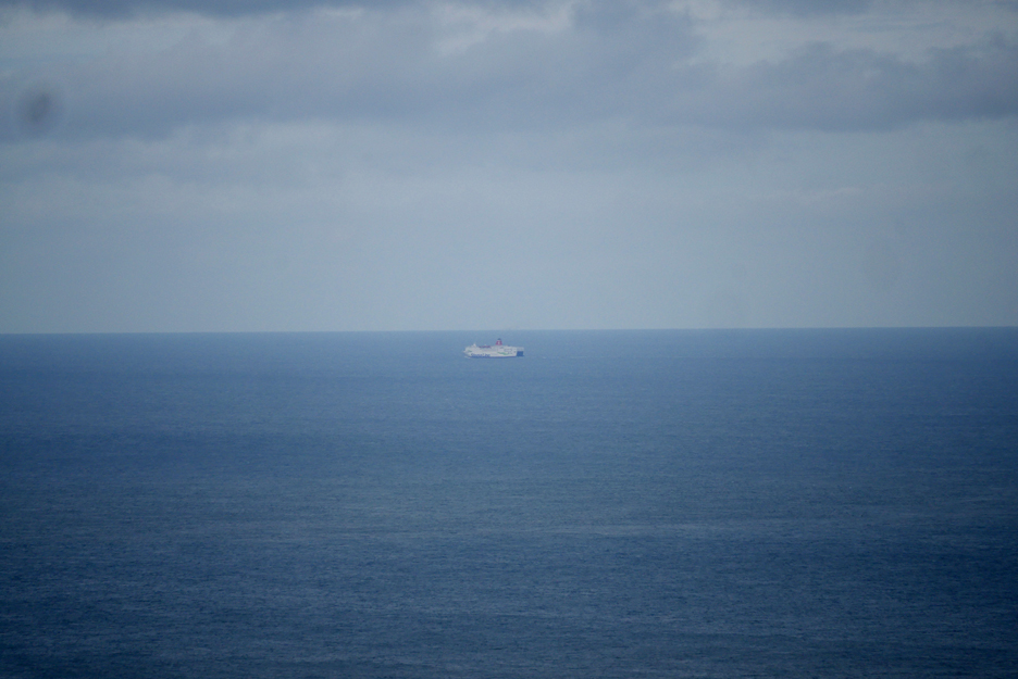
The Fishguard to Rosslare Ferry which makes the Irish Sea crossing each day.
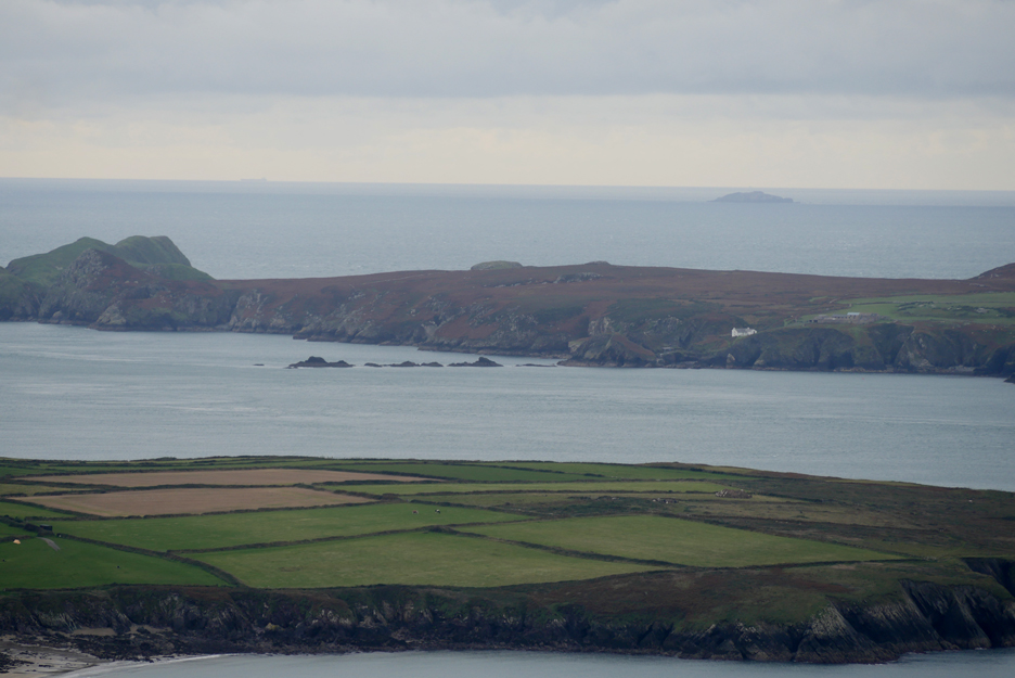
In the middle distance is the Porthgain headland, beyond it is Ynys Deullyn, the island out from Abercastle. In the distance, Strumble Head with another lighthouse on its outer rock headland.
St David's Head is famous as a location for Neolithic man and the headland has many ancient historic locations marked on the map. This erratic boulder probably pre-dates them by many centuries and is situated a short way down the hillside from the summit.
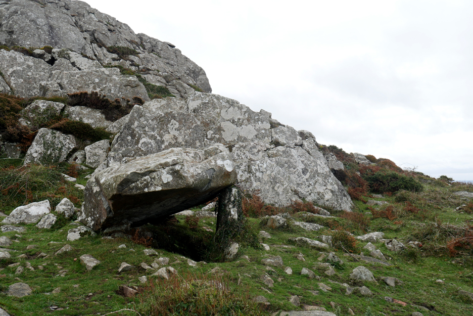
A small dolmen or cromlech close by, the capstone having fallen from the supporting legs some centuries back. This ancient tomb would have been built by Neolithic man to store the bones of their departed relatives.
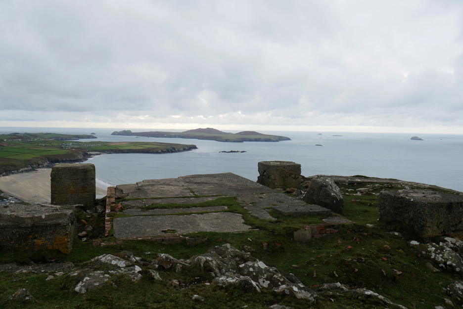
More up to date now, this platform and concrete base are the remains of a wartime look-out position that was located on the hill.
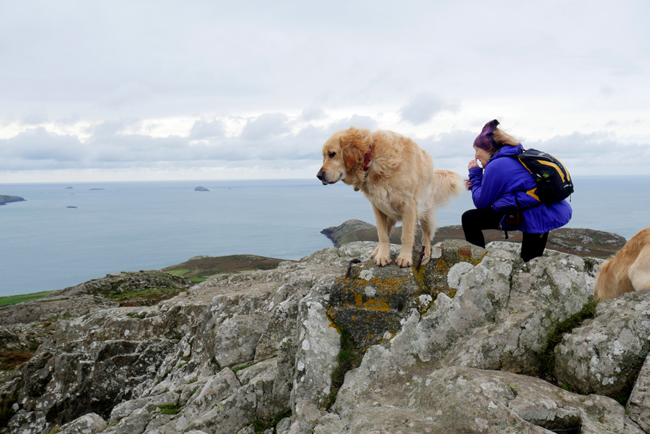
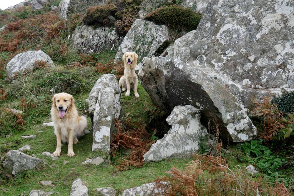
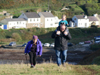
Another fallen cromlech and two very up-to-date visitors . . . very much in the present.
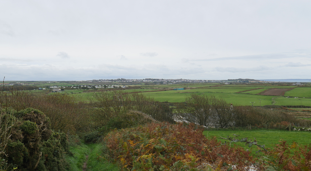
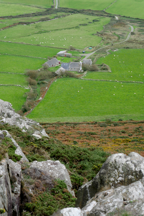
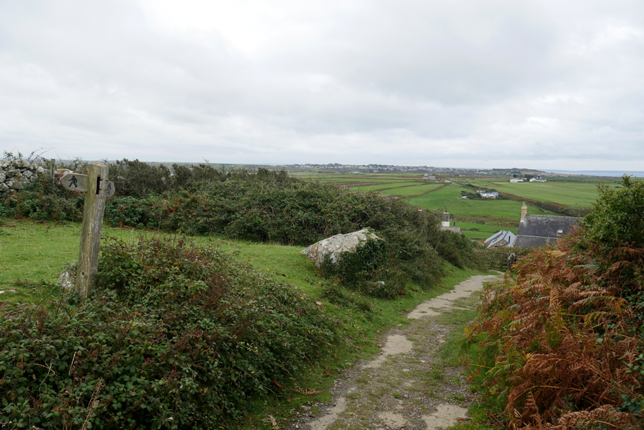
The wartime track took us down towards Porth Mawr House, which was basically the right direction but not quite . . . we needed to turn left and contour round above a few more fields.
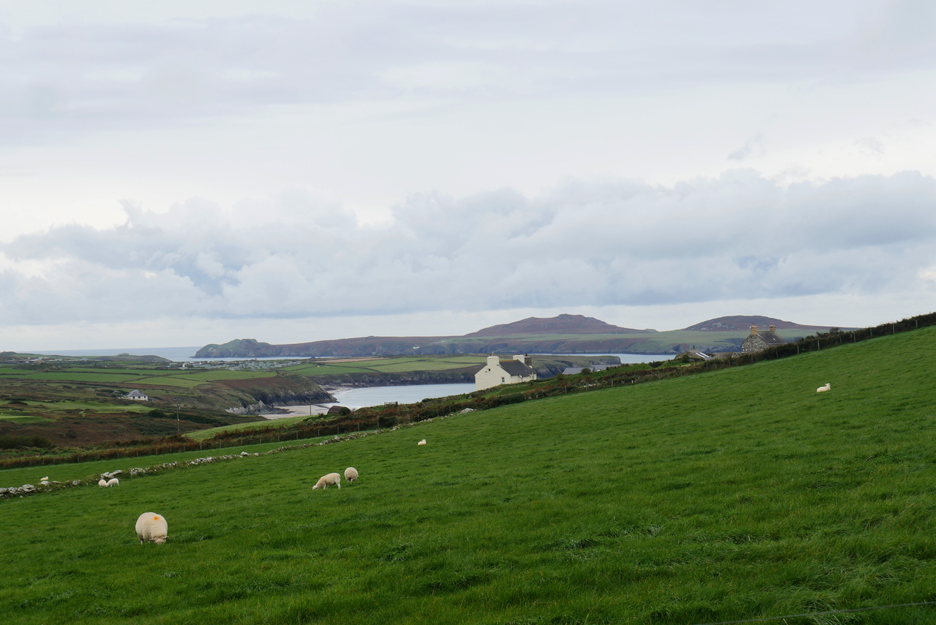
The view across from Pant Mawr towards Whitesands and Ramsey Island.
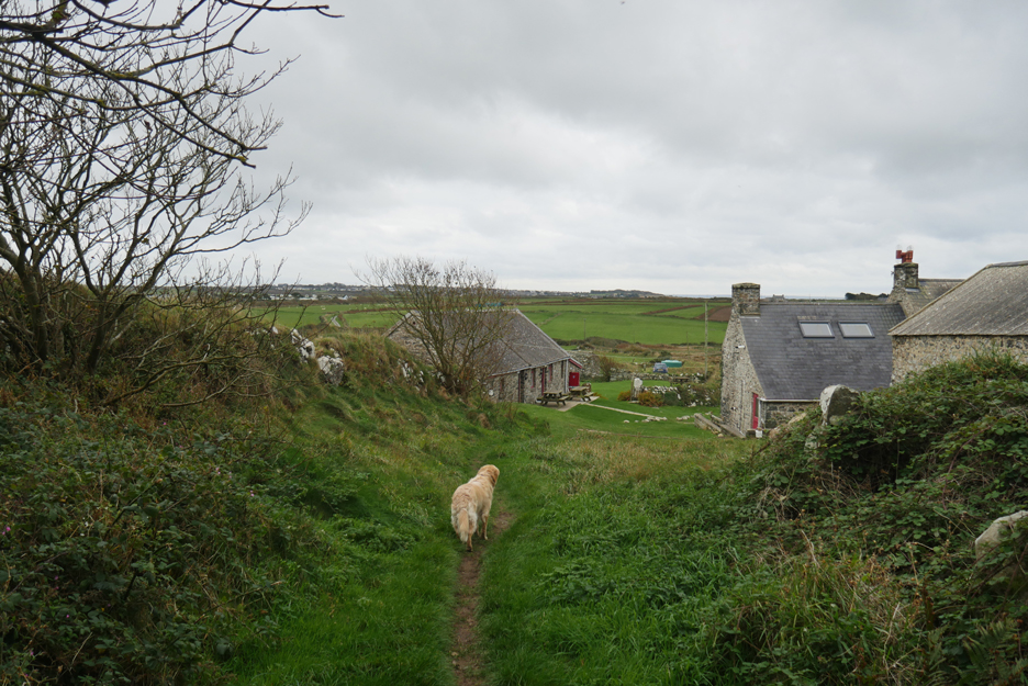
Now we're back on the right path to take us down to the youth hostel and on towards the car. - - - o o o - - - Rather than drive directly back to our cottage, we drove through St Davids and over to Solva.
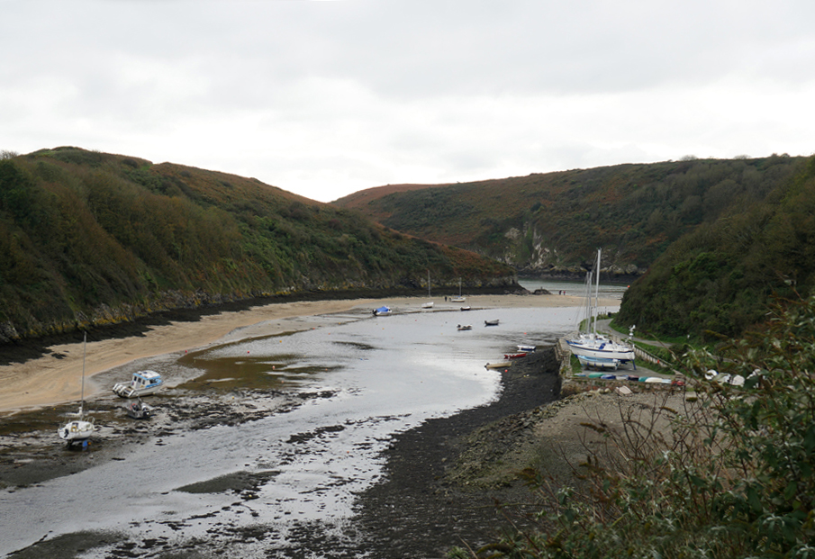
Not the most attractive with the tide full out, but Solva is a delightful and safe harbour provided you sail clear of the large rock island that guards the entrance !
It has a much larger series of lime kilns than Abercastle, but they did the same job of burning lime for local farmers.
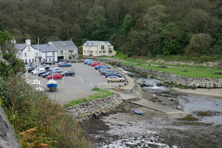
There's a good car park at the head of the inlet, some lovely tourist shops and a pub selling food and Brain's Beer. We've actually bought our supper already, dressed crab with an accompanying roast pepper salad from The Bay View Stores in Upper Solva . . . Hiley recommended ! Time to head home to check it tasted as good as it looked. - - - o o o - - -
|
Technical note: Pictures taken with either Ann's Panasonic Lumix Tz60 Compact, or my Panasonic Gx8 mid-range System Camera. Resized in Photoshop, and built up on a Dreamweaver web builder. This site best viewed with . . . dressed crab for supper. Go to Top . . . © RmH . . . Email me here
Previous walk - 2. West Wales - Carreg Sampson A previous time in the area - October 2007 - St Davids and St Justinians Next walk - 15th October - West Wales - Strumble Head
|