![]()

Remember: Press F11 for a full
screen view of this page.
Web Counter when published 1 698 102
|
|
|
Remember: Press F11 for a full
screen view of this page. |
Web Counter when published 1 698 102 |
|
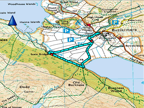
" The Buttermere Bridges Walk " Date & start time: 11th September 2019. 4 pm start. Location of Start : Syke Farm Cafe, Buttermere, Cumbria, Uk. ( NY 176 170 ) Places visited : Buttermere Village, Dubs Bridge, Scale Bridge and back. Walk details : 1.75 miles, negligible feet of ascent, 40 mins. Highest point : Walking over the water. Walked with : Ann and our dogs, Dylan and Dougal. Weather : Moody, overcast but dry. |
© Crown copyright. All rights reserved. Licence number PU 100034184. |
|
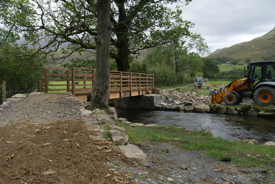
For the first time in eighteen months we have the option of a delightful shorter walk in Buttermere up till now denied by the absence of one of the bridges. That was put right today as a new structure is in place and open for use . . . Dubs Bridge is back.
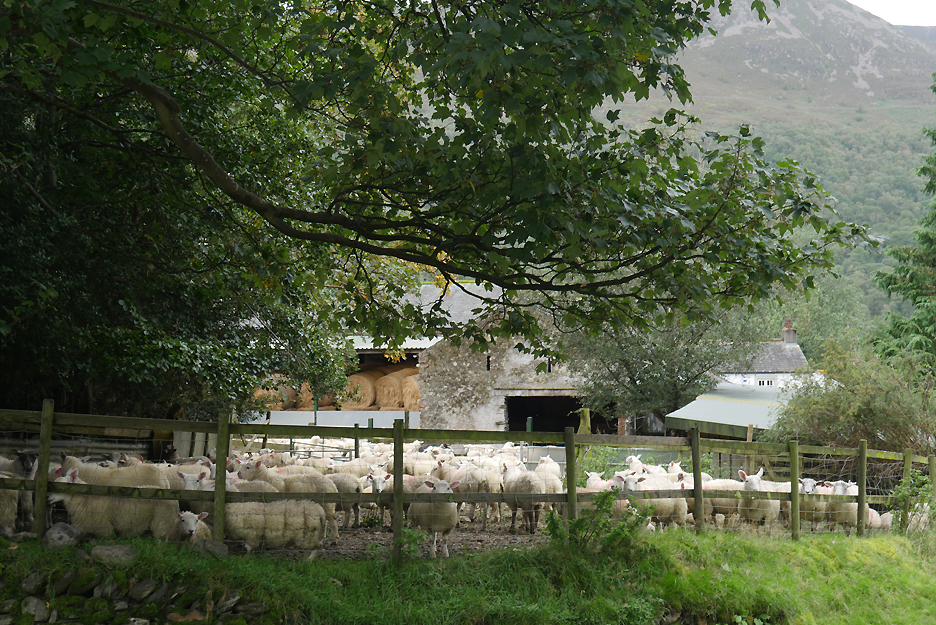
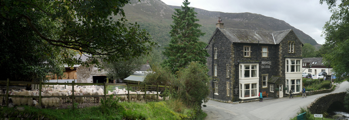
Where can you live and have a country sheep pen on your doorstep ?
One answer has to be the middle of Buttermere . . . and we are there today for a walk and to see the progress with the building of the new footbridge.
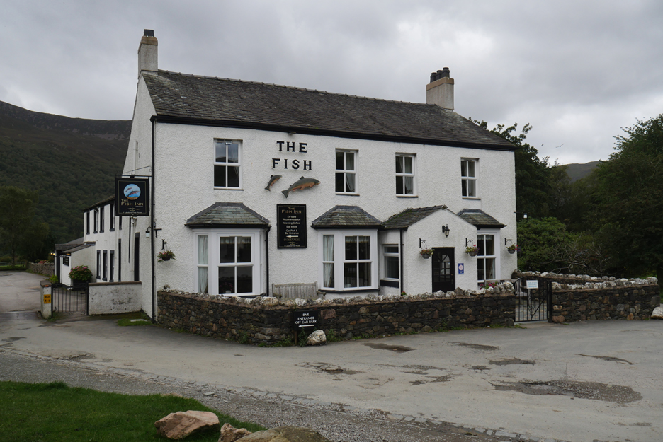
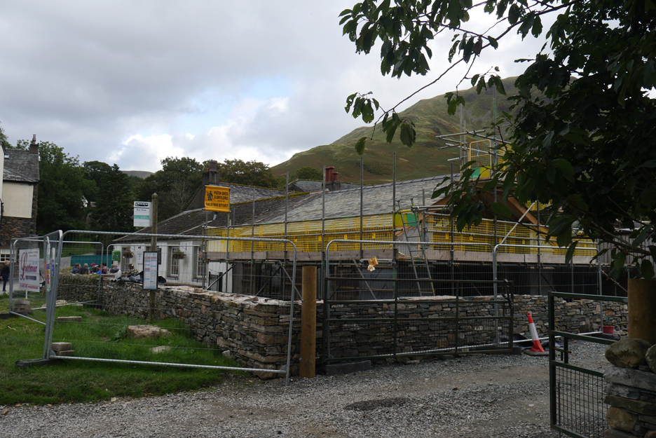
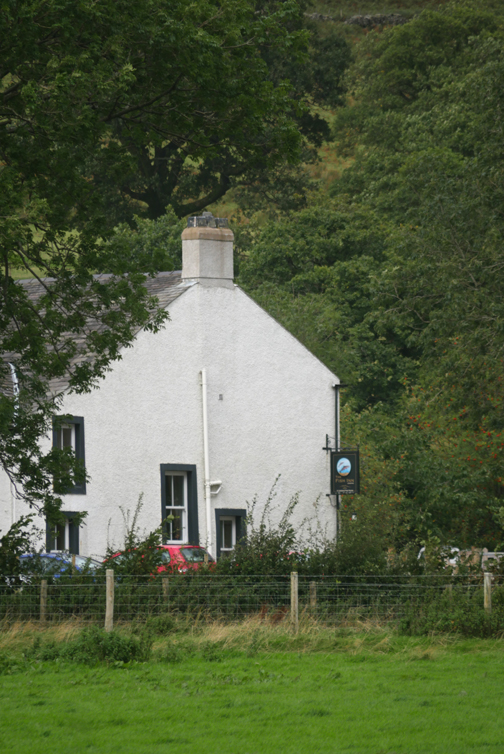
After calling in at Syke Farm we headed down to the lake, past The Fish Inn. Rumour has it that a buyer has been found for the hotel . . . the present family are retiring after running it since the late 1960's.
The work on the covered seating area at the Croft Cafe is continuing well and some of the guys are working on the landscaping of the car park, so progress must be good.
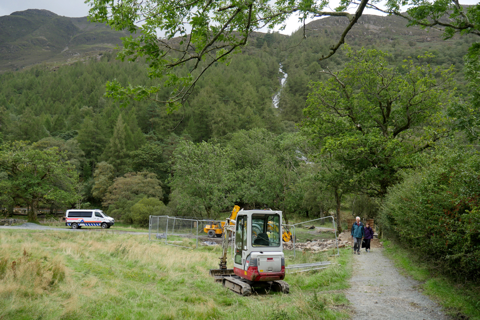
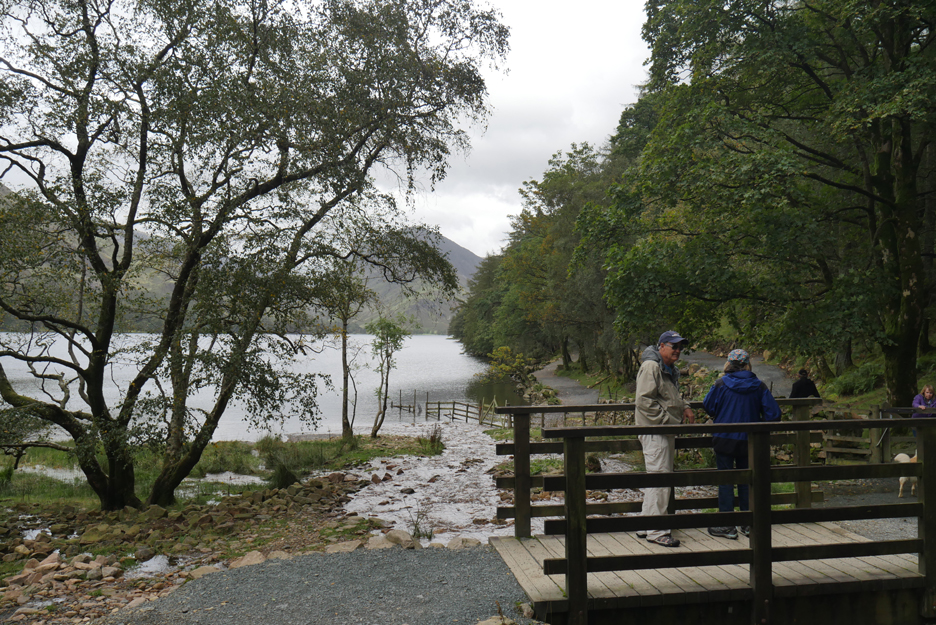
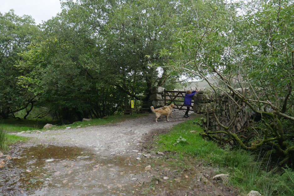
Down by the lake we've probably missed the workmen by a few minutes, but as a result of their labours today they felt that the area was safe enough to move the barriers and open it to the public. [ The white vehicle belongs to Cockermouth Mountain Rescue who have presumably been called out to help with a local incident.]
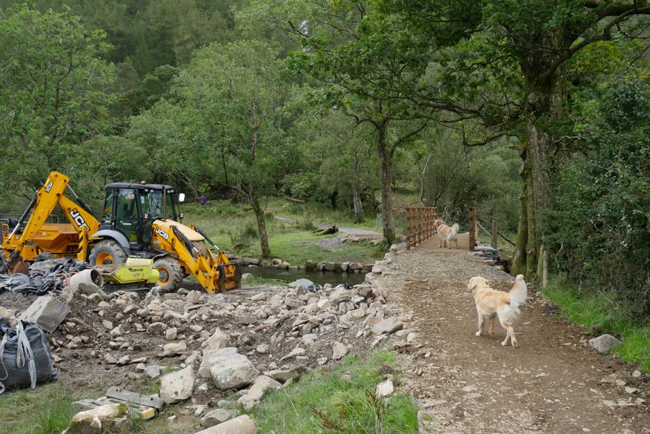
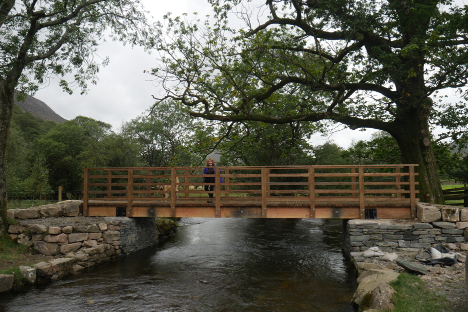
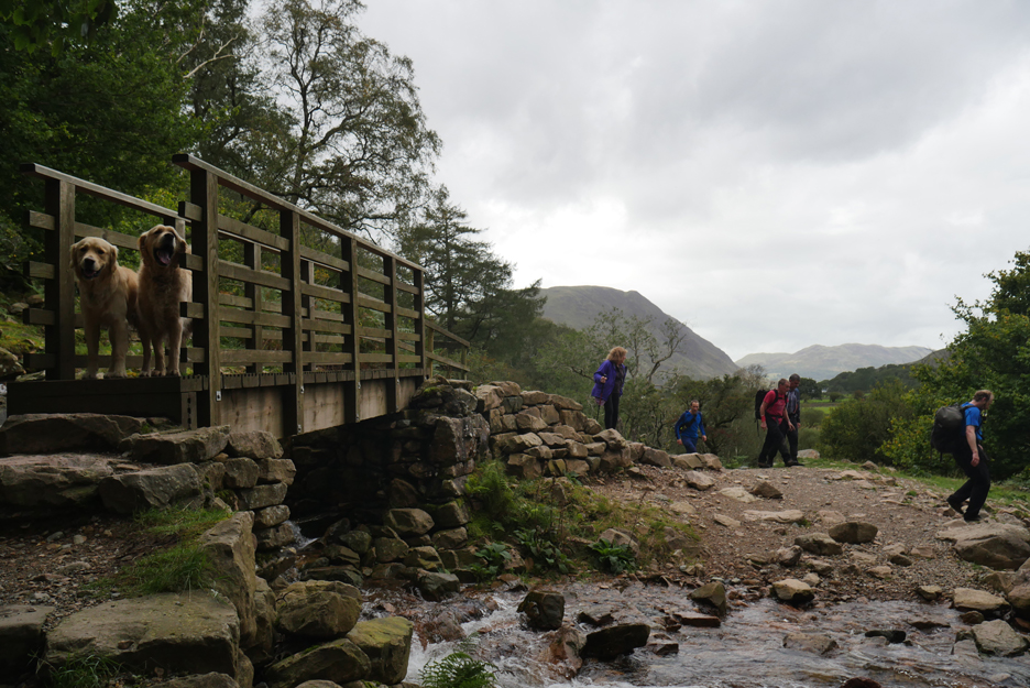
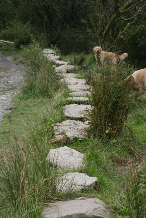
Dylan and Dougal take the lead . . . and cross the bridge ahead of us. [ Those with an eye for detail will note they are not carrying their leads . . . just a chance to add a few words of humour to this report !]
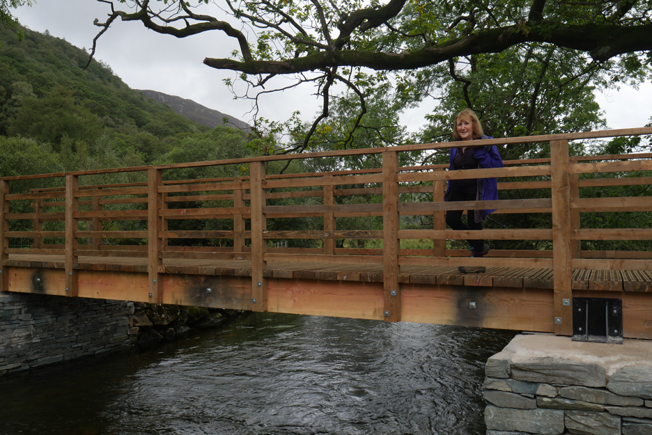
Ann crosses the bridge for the first time. The bridge looks well secured to avoid future flooding problem and also is quite nicely coloured, blending in to the location already.
I stand slightly further back to get a fuller picture of the new bridge.
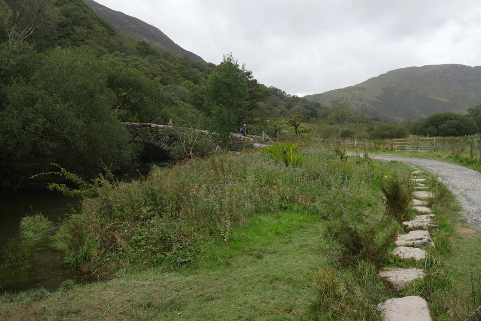
Whilst it is now fully open there's still some landscaping work to do, but I don't expect it will take long to complete. - - - o o o - - - For our own personal celebration of the re-opening we decide to continue on a circular walk incorporating the Scale Bridge further down stream.
The smaller footbridge over Sour Milk Gill is now back in use . . . as the path over it now has purpose once again.
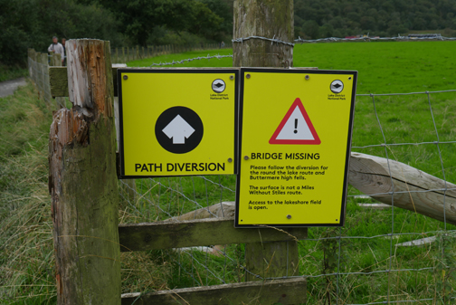
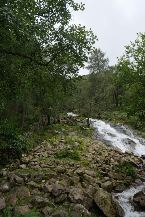
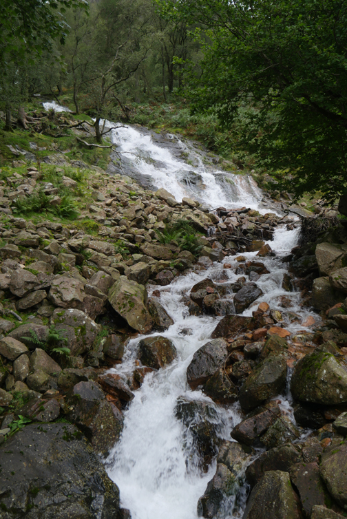
We walk up the slope slightly to view Sour Milk Gill as it cascades off the fell. The bridge crossing the beck here will, in contrast, have less traffic from now on as it is no longer part of the route around the lake. For quite some time this path has been the diversion taking people down to the old stone bridge on the alternative track back to the village.
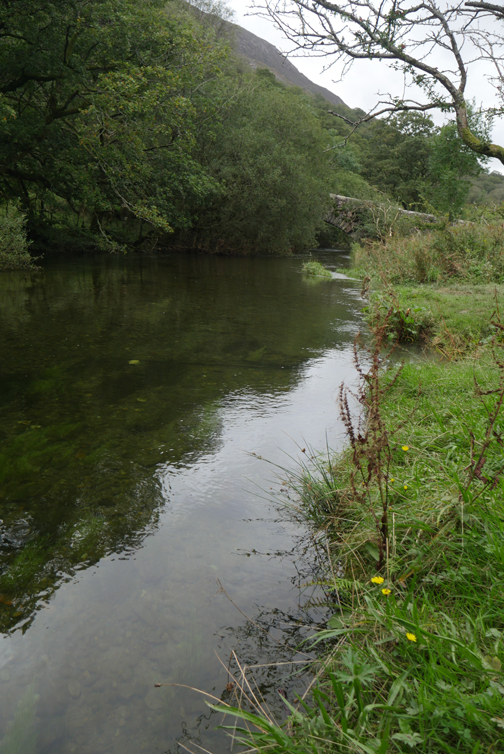
The heavier rainfall in the last few weeks also evident in the amount of water on the riverside path between the two bridges. In places the cross-stream culverts are blocked by debris and the paths are just flowing in water . . . make sure your footwear is waterproof.
We'll turn at the second bridge and make our way back to the village.
I'm sure the trees are growing more profusely in recent years as the bridge is becoming less easy to photograph in its entirity.
The view down the valley from the bridge itself. It has been a fine day but the forecasted rain is on the way and the colours are fading as the afternoon progresses.
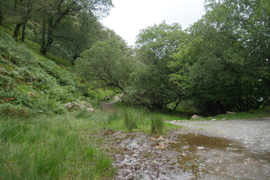
From the bridge we walk the tree lined track back to the village.
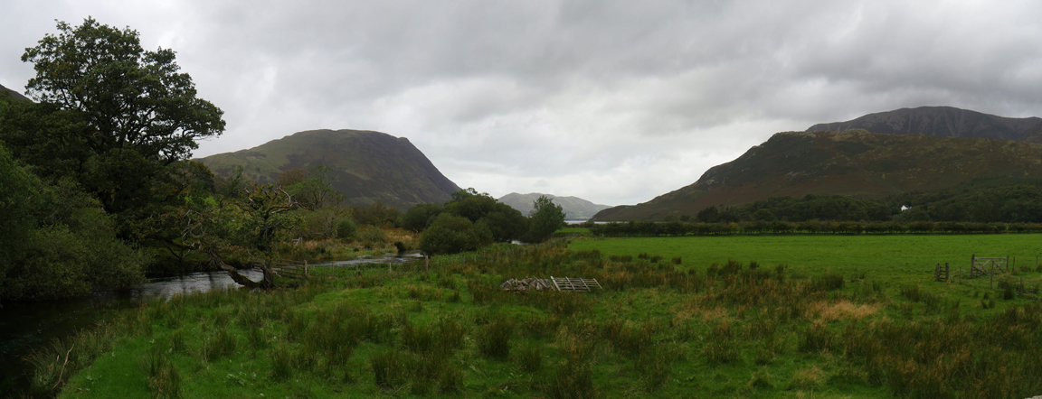
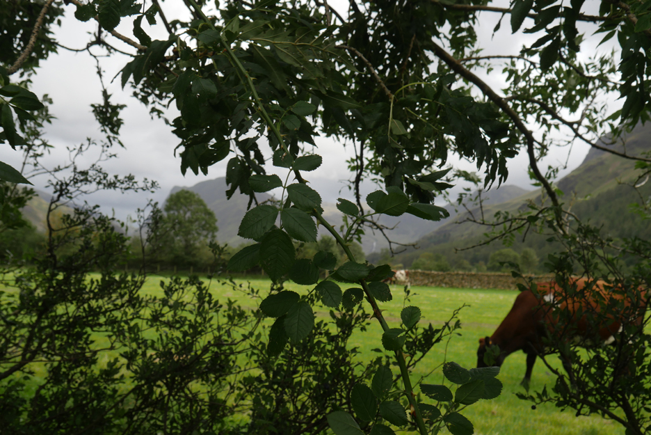
In between the gaps of the hedge the views are of Fleetwith Pike and the secondary summit of Black Star at the far end of the valley.
Soon we'll be back at the car and after dropping off a few calendars locally we'll be on our way home. A quick 40 minute walk but nice to be able to do it once again. - - - o o o - - - |
Technical note: Pictures taken with either Ann's Panasonic Lumix TZ60, or my Panasonic Lumix Gx8 Camera. Resized in Photoshop, and built up on a Dreamweaver web builder. This site best viewed with . . . an old walk returned to the repertoire. Go to Top . . . © RmH . . . Email me here Previous walk - 10th Sept - Building a New Buttermere Bridge A previous time up here - 17th October - Buttermere with Alexander Next walk - 13-15th Sept - Hilton, Catherine and Margaret
|