![]()

Remember: Press F11 for a full
screen view of this page.
Web Counter when published 1 660 569
|
|
|
Remember: Press F11 for a full
screen view of this page. |
Web Counter when published 1 660 569 |
|
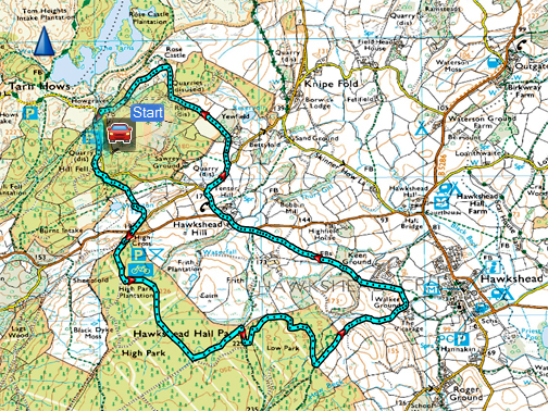
" Hawkshead Round with Richard and Hilary " Date & start time: Tuesday 23rd April, 2019. 2 pm start. Location of Start : High Cross car park, Monk Coniston, Cumbria, Uk. ( SD 332 985 ) Places visited : High Cross, Walker Ground, Hawkshead Hill, Rose Castle, Wharton Tarn. Walk details : 5 miles, 500 feet of ascent, 2 hours 20 mins. Highest point : The unnamed fell above Tarn Hows, 825 ft - 255m Walked with : Richard and Hilary, Ann and our dogs Dylan and Dougal. Weather : Sunshine but hazy, warm even in the slight breeze. Dry. |
© Crown copyright. All rights reserved. Licence number PU 100034184. |
|
After a suggestion from Richard and Hilary to meet up this week, rather than them drive here again, we travel down to meet them instead. They have a caravan pitched on a site in Coniston and offered to take us on a walk in one of their favourite places. Nice to be in a different area and to see pastures new.
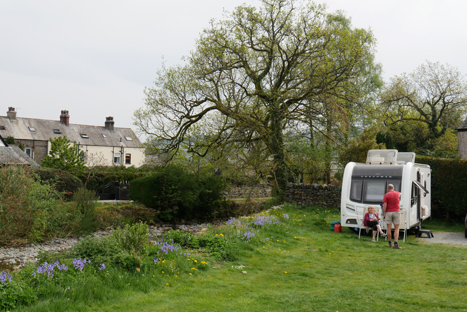
Richard and Hilary's caravan, on a village centre site I never realised existed. They have been coming here for years, decades even, as it is in the heart of one of their favourite areas.
The view from their caravan includes the Coniston Old Man summit, Brim Fell, Swirl How and the crags of the Yewdale Fells. No wonder that they love it here. - - - o o o - - -
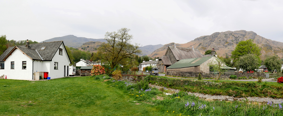
We drive up past Monk Coniston to High Cross, on the road to Hawkshead. It's a hot day this Easter Tuesday and the initial part of the walk will take us through the northern section of Grisedale Forest.
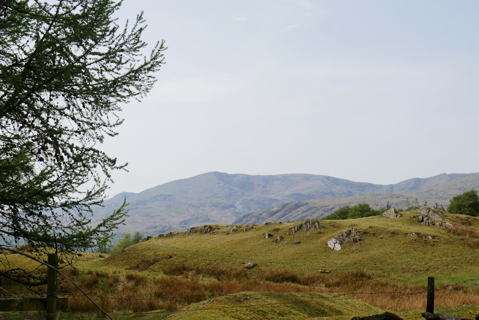
The view of the Coniston Fells from the start of our walk. The same fells that we saw from the site but seen here from a higher altitude.
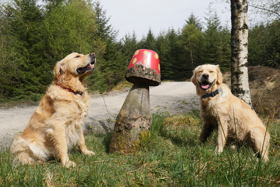
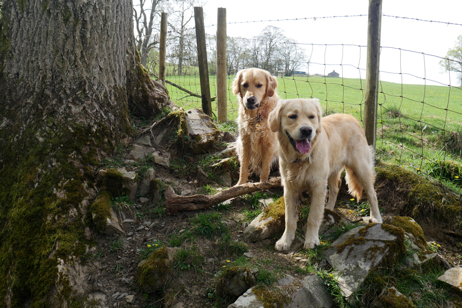
Occasional sculptures dot the forest trails in Grisedale. The two dogs are ours . . . the chain saw artist is not that good at modelling golden retrievers.
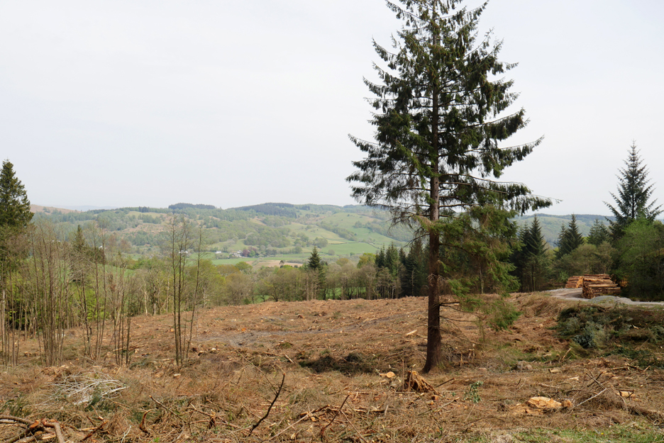
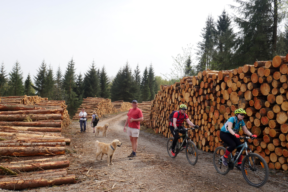
On their last visit this area had been deep forest . . . but is now clear-felled open ground.
The resultant logs have been stacked ready for forestry lorries to take away. We stand to one side as other sports enthusiasts pass by.
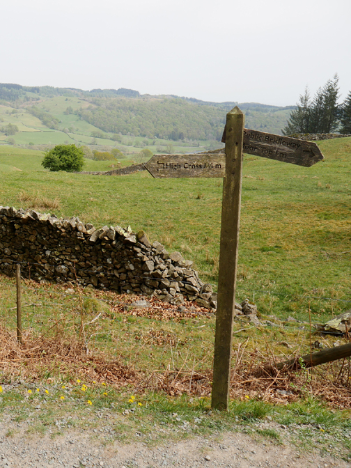
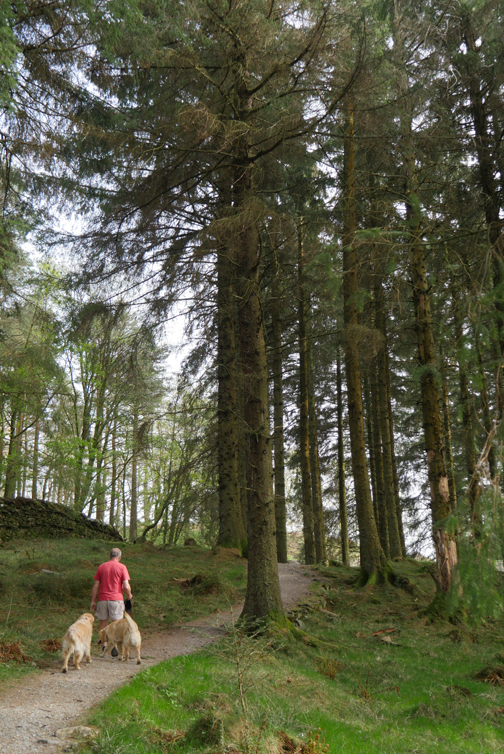
The track leads us down towards Hawkshead and Elterwater.
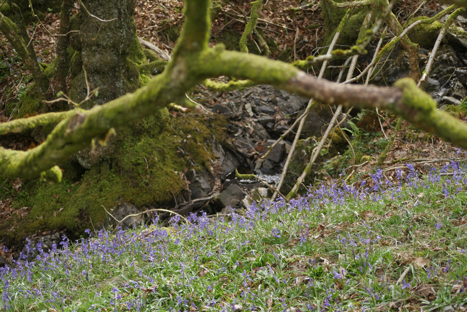
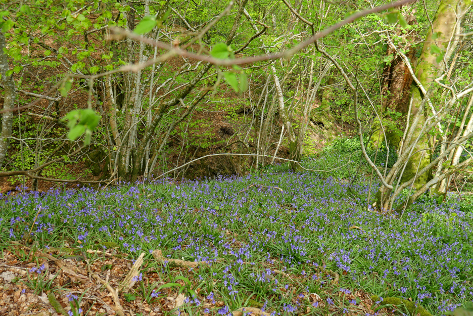
We haven't left the forest yet, but the trees and surroundings have changed. The sound of a babbling brook and a colourful spread of bluebells are our accompaniment as we descend.
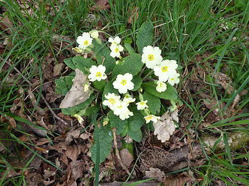
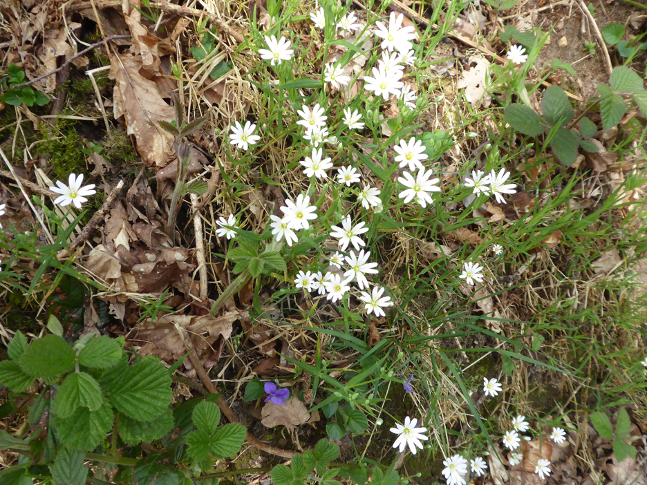
Further along we have the white Wood Anemone and even a purple Violet.
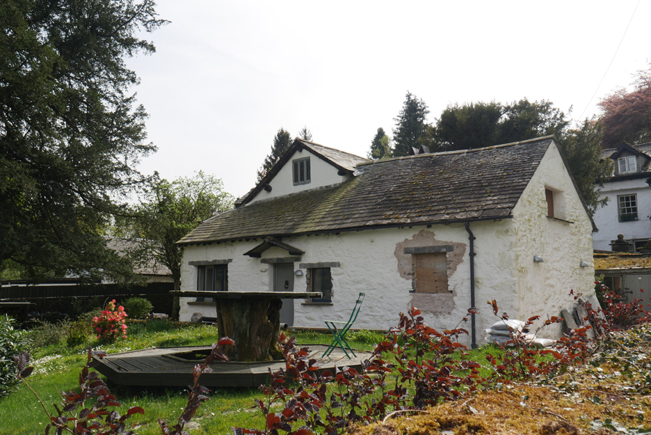
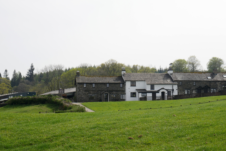
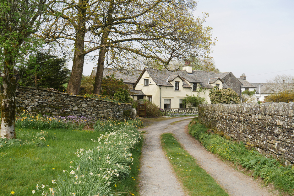
The track emerges from the woodland at The Vicarage, Walker Ground. An old tree base makes a lovely garden table whilst they renovate the smaller house next to the hotel.
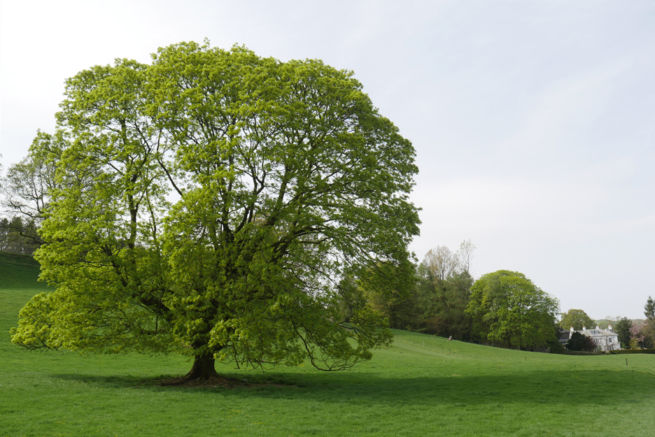
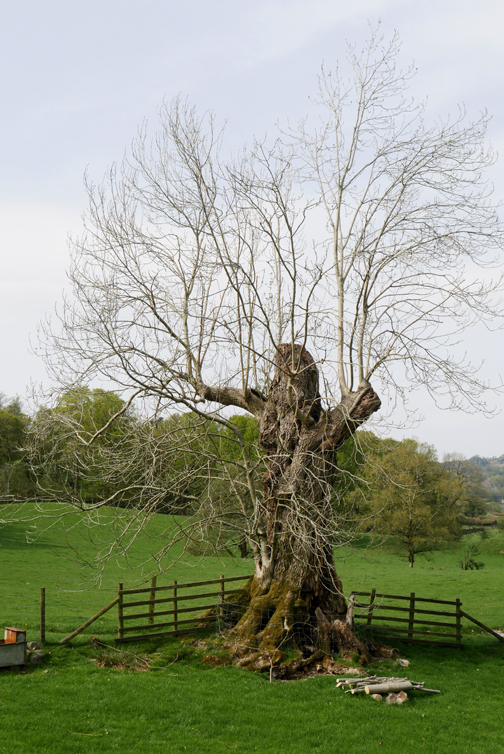
We turn left and enter a section of rich meadow grassland, a complete change of scenery. I forgot to check, but I believe this was a rather nice classic sycamore tree, growing unrestricted in the centre of the field.
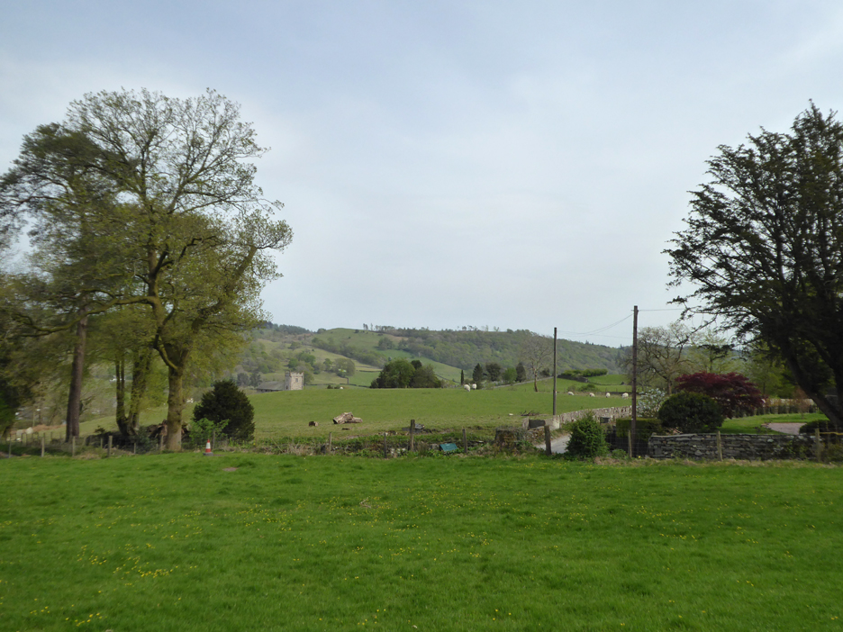
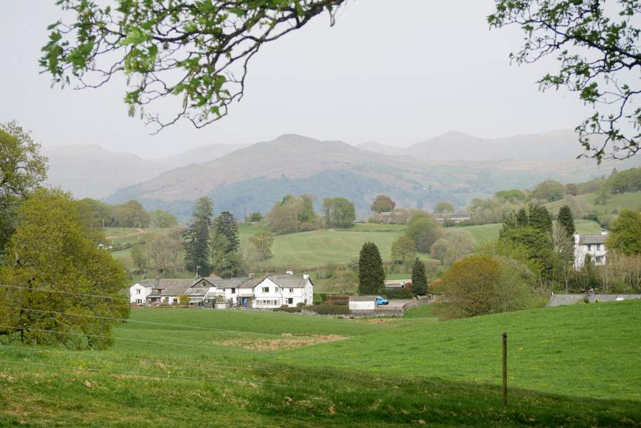
Views to our right now include Hawkshead Village a few fields away.
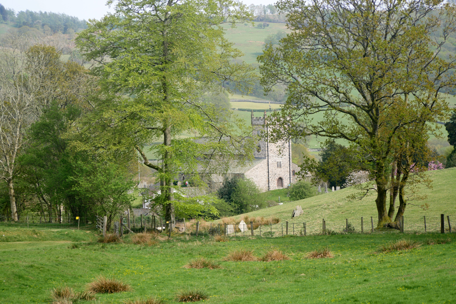
Zooming in on the tower of Hawkshead Church.
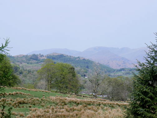
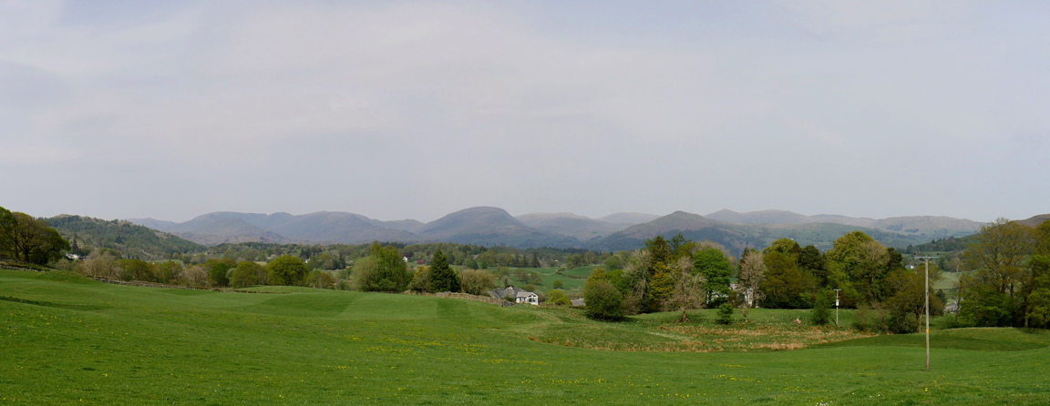
Beyond the houses at the northern end of the village are the fells of Wansfell and Wansfell Pike. Behind them in the haze are (r to l) Sallows, Yoke, Ill Bell and Thornthwaite Crag.
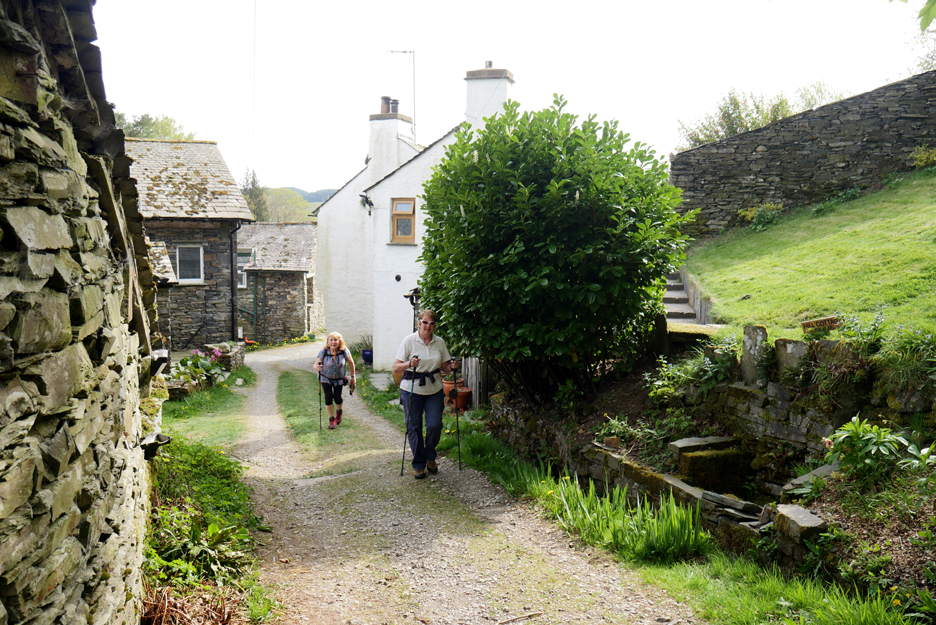
We walk around the fields, passing the houses of Keen Ground and heading for Hawkshead Hill.
More lovely bluebells in the next wooded section of the path.
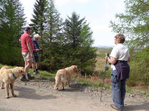
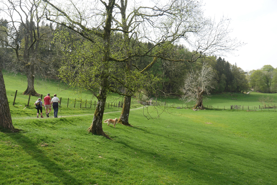
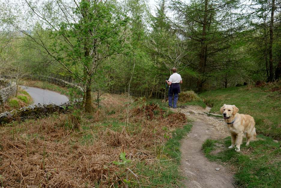
Dylan and Dougal wait by the fence for someone to open the next gate.
The bridleway set off across more fields . . . sorry no name for the farm . . . but they offer bed and breakfast accommodation.
They also offer a fine view from their front garden. [ Hold your cursor over the picture to annotate the view ]
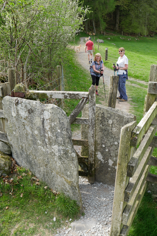
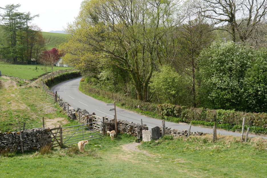
Another stone kissing gate takes us onto a short road section, up the slope to Hawkshead Hill.
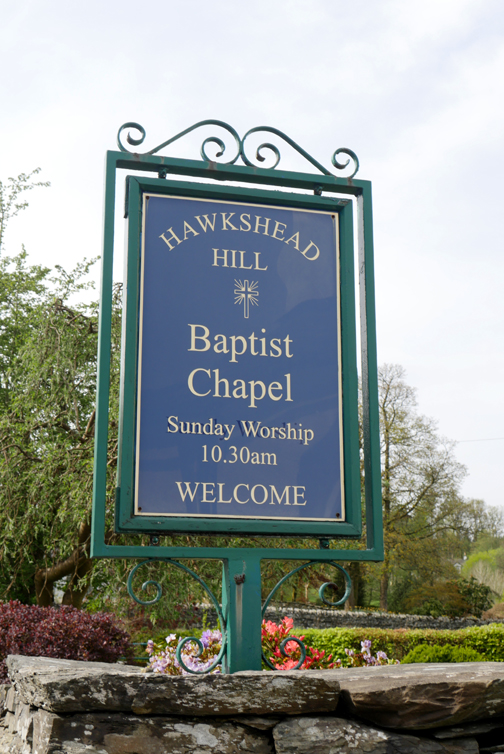
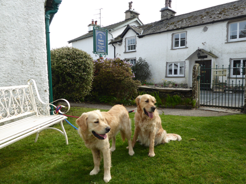
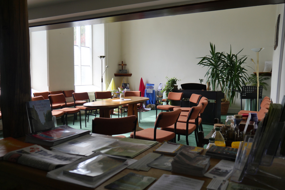
The meeting room has a kettle, tea and coffee and milk on offer . . . plus squash if you prefer.
The Church is attached to an adjacent cottage and the well kept garden offers a delightful place within which we can relax and drink our tea.
Refreshed we continue on, passing some other really nice looking houses.
. . . and a well maintained summer house and sculpture in a garden at Tenters Hill.
At the group of smaller houses shown on the map as Yewfield we leave the road and wind our way through the narrow track, passing an old water trough built into the bank.
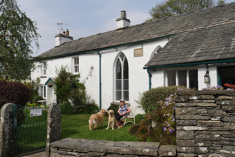
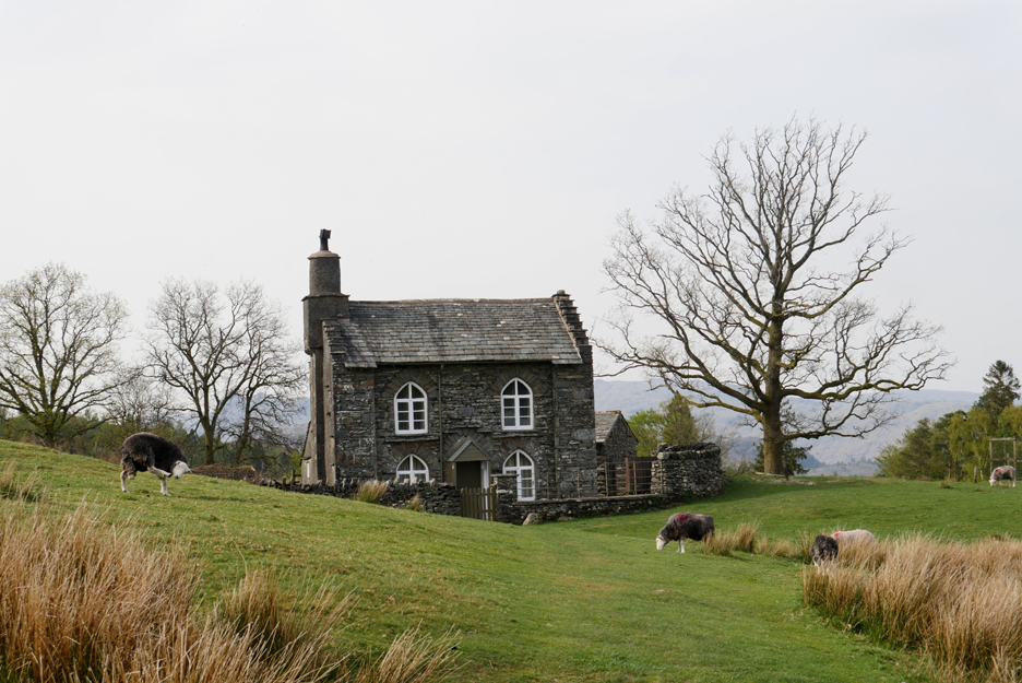
On the top of the rise is a sight which is familiar in appearance, even if you don't know where it is. This is the classic little Rose Castle Cottage above Sawrey Ground farm.
The side view of the cottage isn't quite so picturesque . . . so we take the opportunity to look across to the high fells instead.
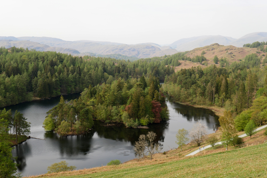
Over the other side of the bank is another familiar view . . . Tarn Hows.
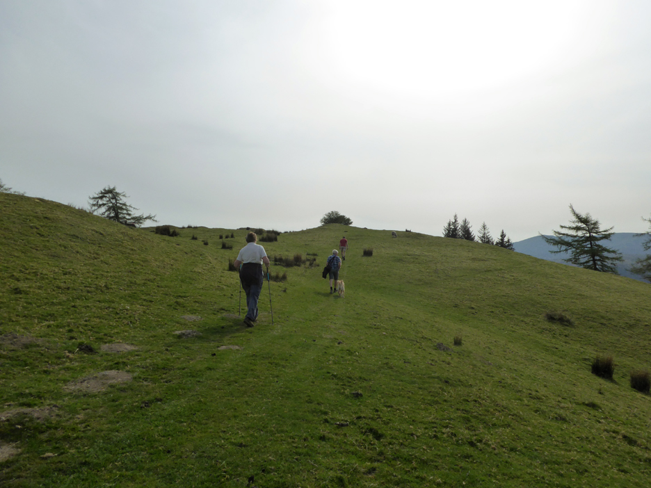
We climb to the highest point of the walk . . . and as we do the view improves.
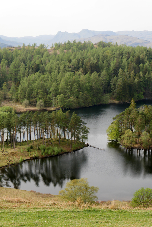
The northern end of Tarn Hows.
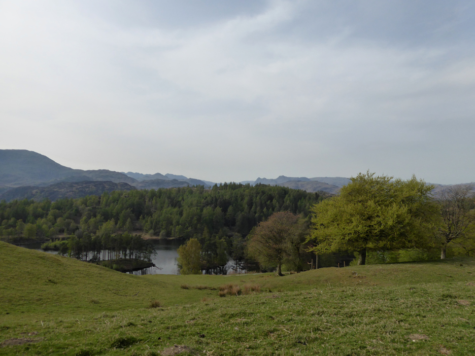
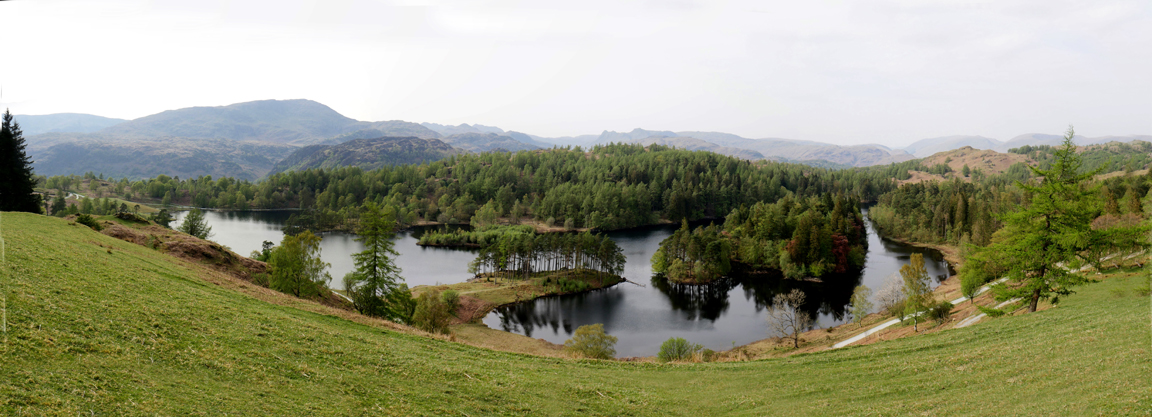
. . . and here a panorama with the full extent of the lake now in view. Tarn Hows is a man-made and a stunning beauty spot. In Victorian times a beck was dammed, creating the tarn we see today.
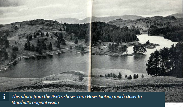
Many thanks to The National Trust for the picture . . . taken from their Tarn Hows walks page here
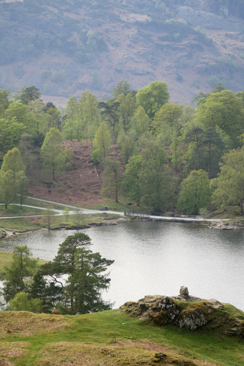
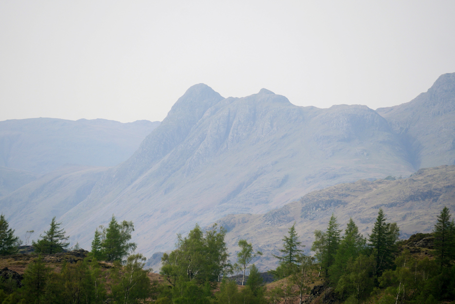
Worth changing the lens and zooming in on the iconic shape of Pike O'Stickle
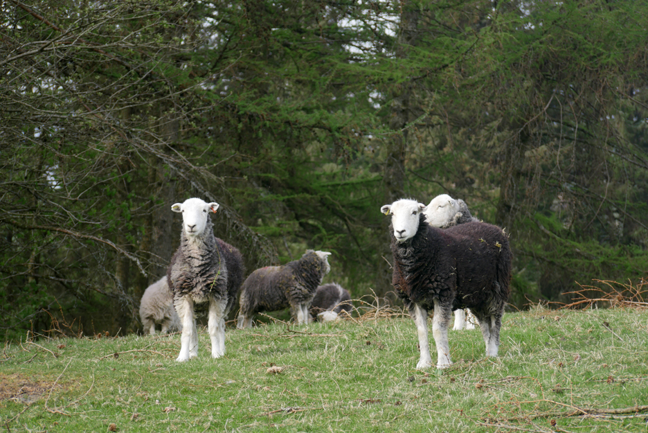
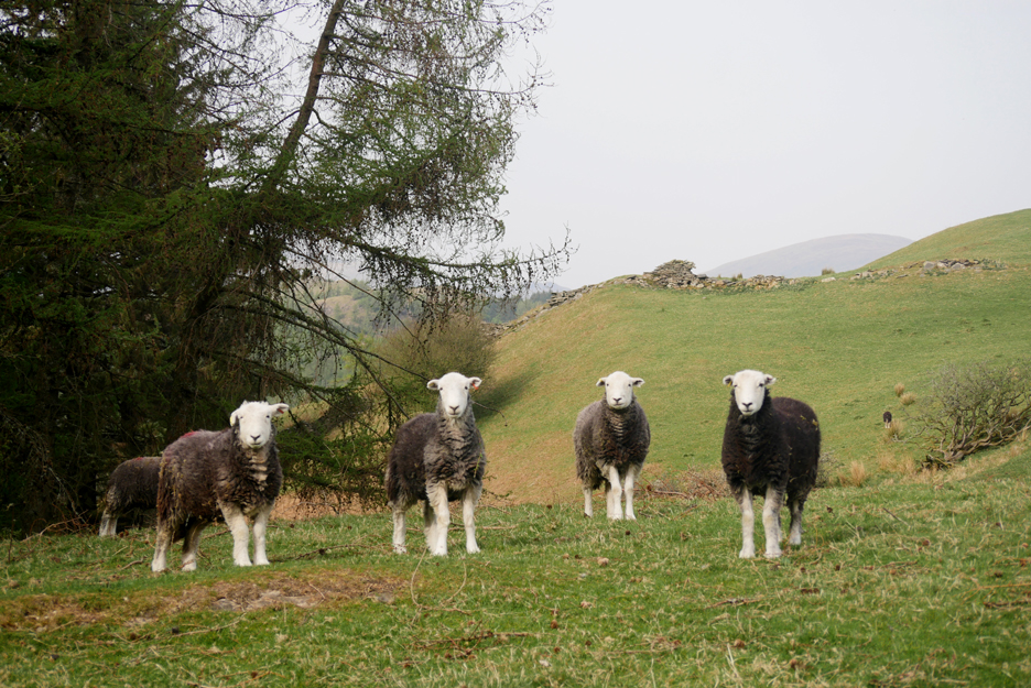
These locals are not so bothered by the view.
They are attentive but seemingly not worried by our dogs and ourselves passing through their field.
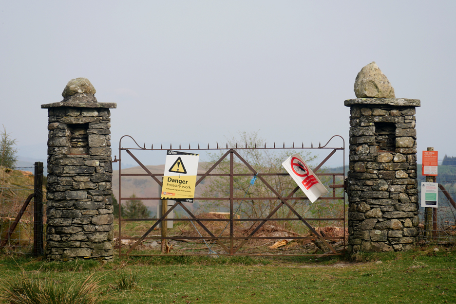
Fine gates but looking sad without the trees behind and with such graffiti-like notices attached.
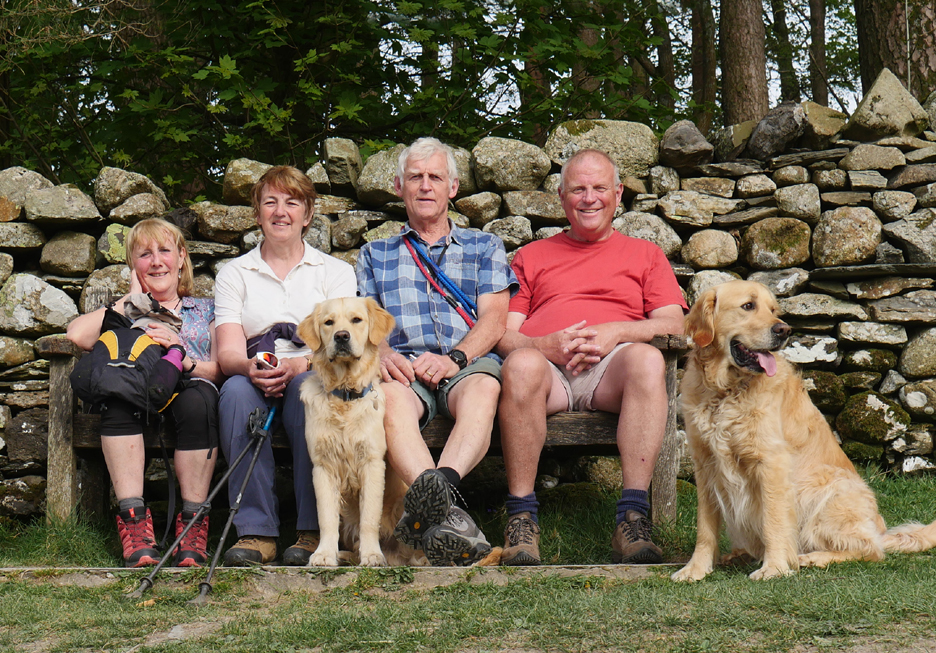
A wayside seat near the top car park at Tarn Hows allows us chance to take a self-timer photo of our group today . . . not bad . . . five out of six are looking the right way !
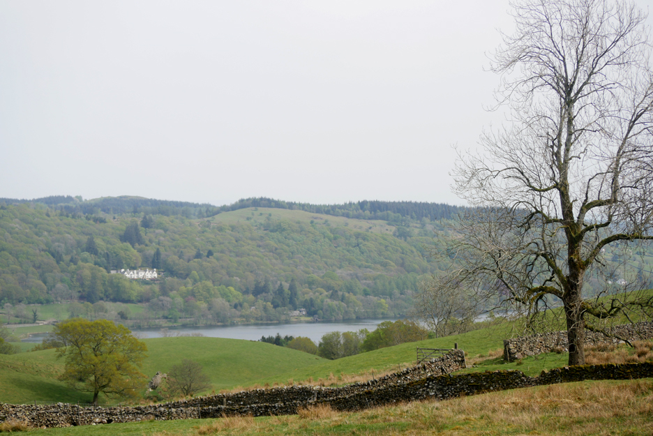
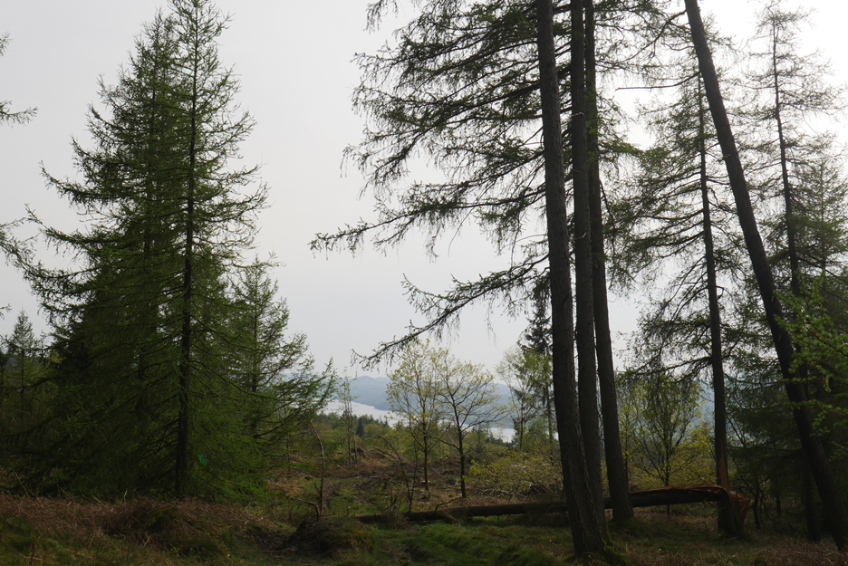
We've nearly completed the circle and ahead of us through the trees we see Coniston Water once again.
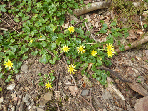
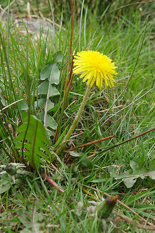
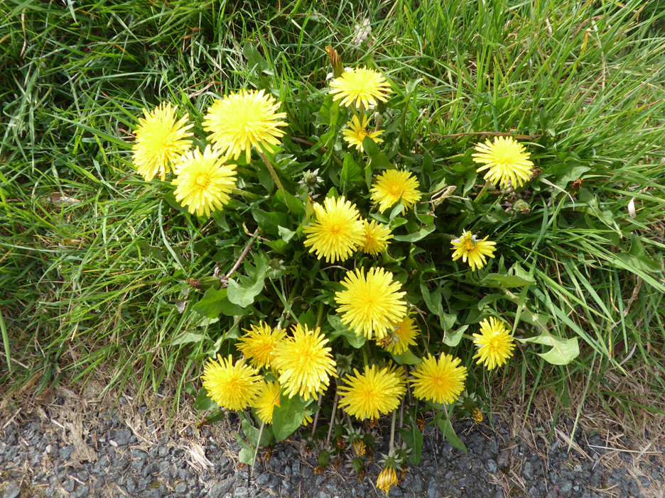
This fine flower group is well worth a photo. Often considered a weed but only when it invades manicured lawns . . . out here it adds a fine splash of colour.
We pass close by the Tarn Hows road as we walk along another well-walked forest path.
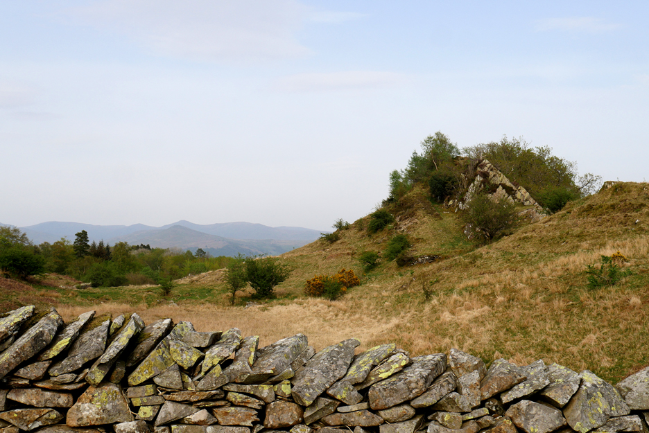
The strata of a small but spectacular little crag thrusts itself up through the moorland to our left.
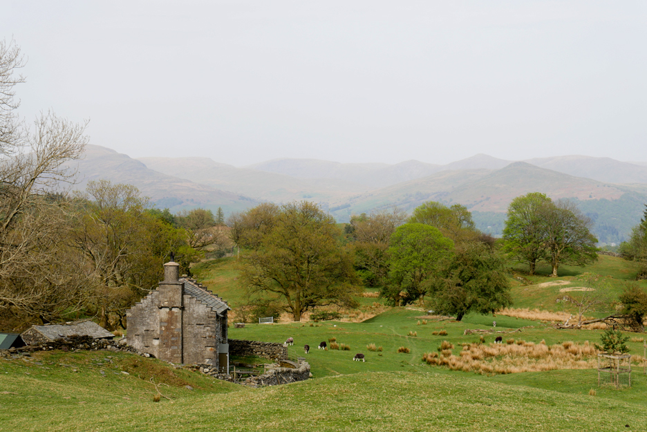
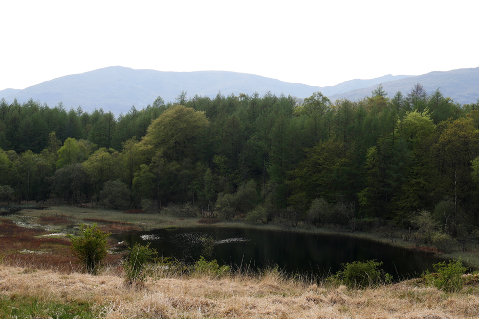
To our right we suddenly get a view of the secretive Wharton Tarn, surrounded by trees and previously hidden from view.
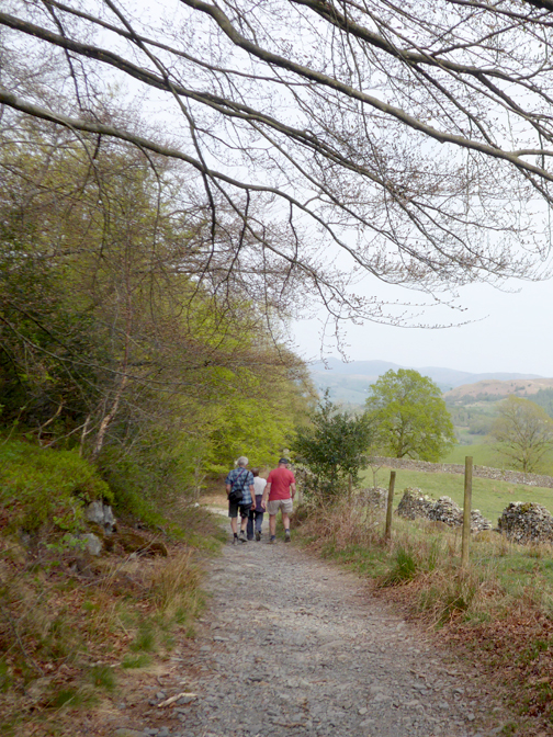
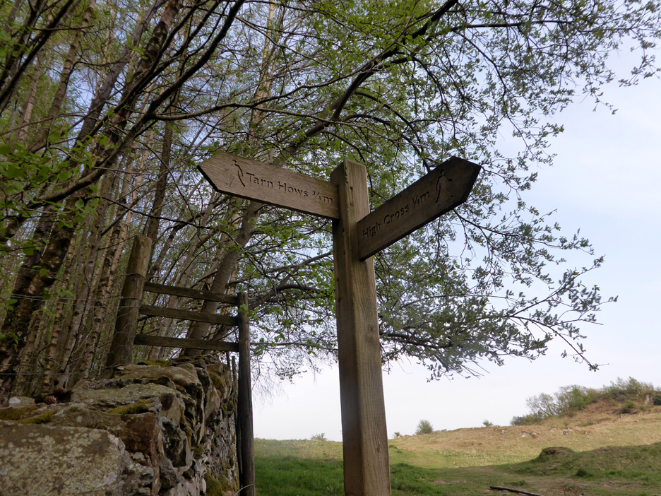
Back to the main road. We've come from Tarn Hows and are nearly back to the car park at High Cross. - - - o o o - - -
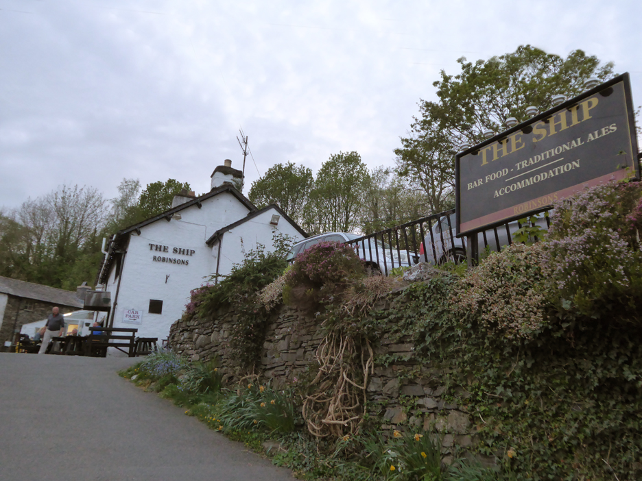
In the evening, the owner of the caravan site suggested the food was good at the Ship Inn just a mile out of Coniston on the Torver Road . . . he wasn't wrong. The four of us had a nice meal out before we returned to Loweswater at the end of a lovely day. The glow remaining on our faces was from today's sunshine . . . not the beer ! - - - o o o - - - Technical note: Pictures taken with either Ann's Panasonic Lumix TZ60, or my Panasonic Lumix Gx8 Camera. Resized in Photoshop, and built up on a Dreamweaver web builder. This site best viewed with . . . a change of scenery . . . three times in one walk. Go to Top . . . © RmH . . . Email me here Previous walk - 17th April - The Paddock and Garden A previous time up here - 11th June 2011 Coniston Challenge ~ Carron Crag Next walk - 27th April - Little Mell Fell with Jo
|