![]()

Remember: Press F11 for a full
screen view of this page.
Web Counter when published 1 656 930
|
|
|
Remember: Press F11 for a full
screen view of this page. |
Web Counter when published 1 656 930 |
|
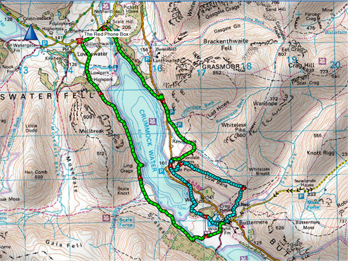
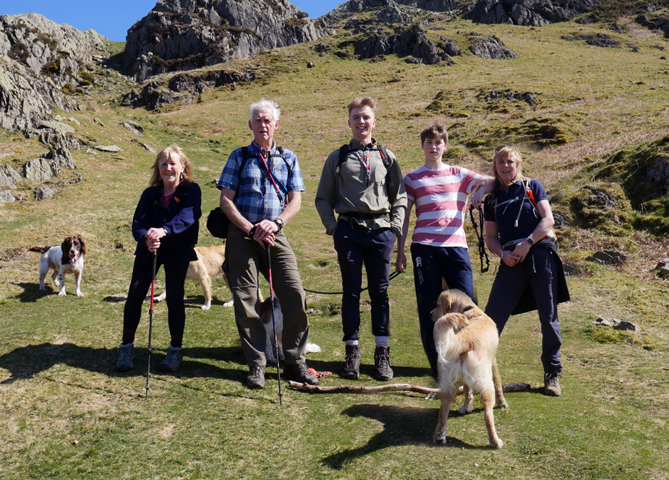
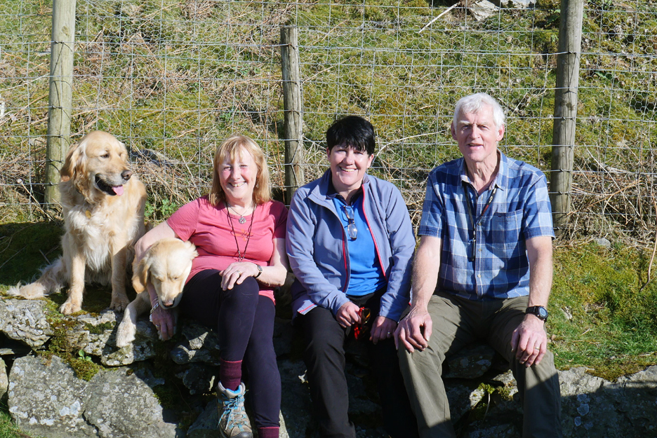
" Rannerdale and Buttermere for Lunch " Date & start time: Wednesday 10th April, 2019. 11.40 am start. Location of Start : By the red phone box, Loweswater, Cumbria, Uk. ( NY 143 211) for Cathy. Hause Point car park, Rannerdale, Cumbria, Uk ( NY 163 184) for us. Routes: Blue for us, green for Cathy and the boys. Places visited : Rannerdale Knotts, Buttermere Village, then down past Wood House Island. Walk details : 3.8 miles, 1100 feet of ascent, 4 hours including an hour for lunch. Highest point : Summit of Rannerdale Knotts 1,160ft - 355m. Walked with : Catherine, Matt, Alexander, Ann and our dogs, Boris,Boris,Dylan and Dougal Weather : A lovely summer's day in April.
|
© Crown copyright. All rights reserved. Licence number PU 100034184. |
|
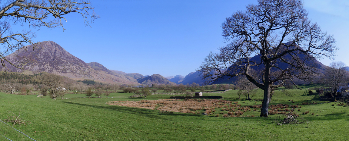
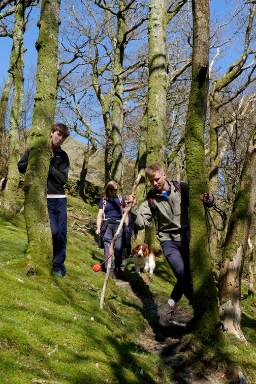
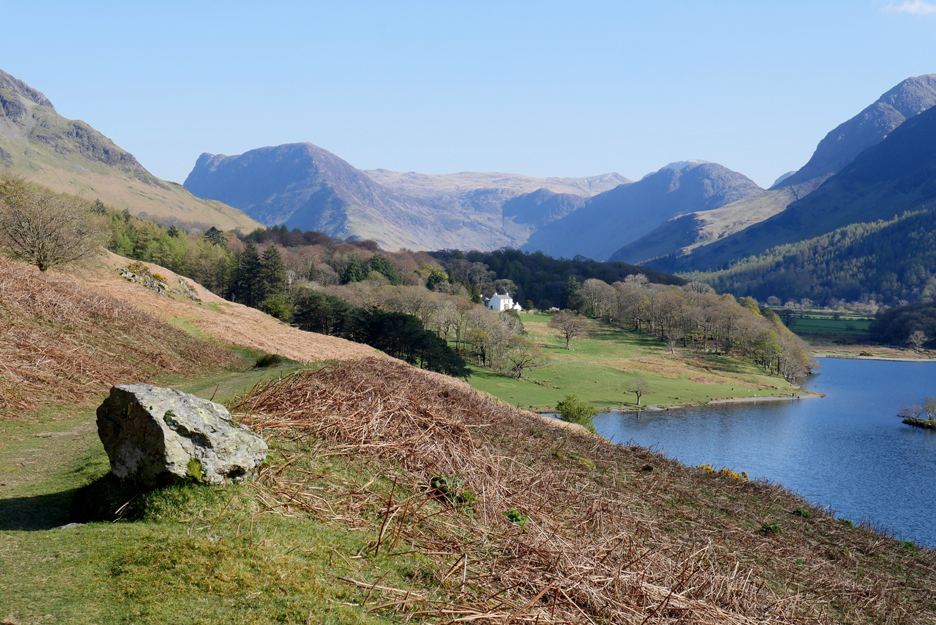
A two-part walk today. The younger element wanted to walk around Crummock Water and the older contingent was quite happy with a shorter walk up Rannerdale Knotts. The two plans were combined into one walk in the following way.
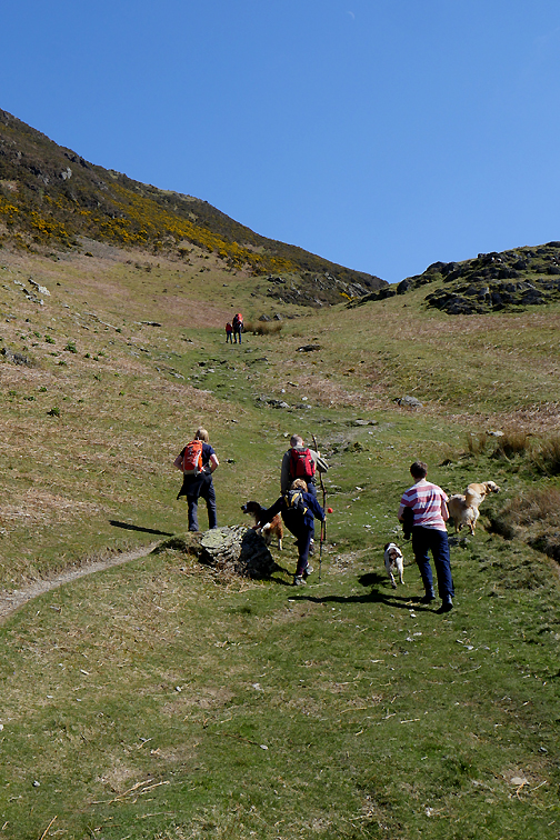
Cathy and the boys have set off from home on their mission to walk around the lake. That would be somewhere in the region of an eight mile walk, so we set them off with bottles of water and instructions on where to meet up. Rannerdale Knotts is the lower, craggy fell in the centre of the valley. We'd do that bit. Buttermere Village and the head of Crummock Water are beyond Rannerdale.
We drove to the Hause car park and waited ten minutes or so on the lower headland by the road.
Rather than road walk the last bit they surprised us by taking the Cinderdale track up to the bluebell valley and then back down to Hause Point. [ They report that, as of 10th April, the bluebell flowers are on the way but there's very few with any colour yet.] From the roadside signpost we took the path up onto the end of Hause Point.
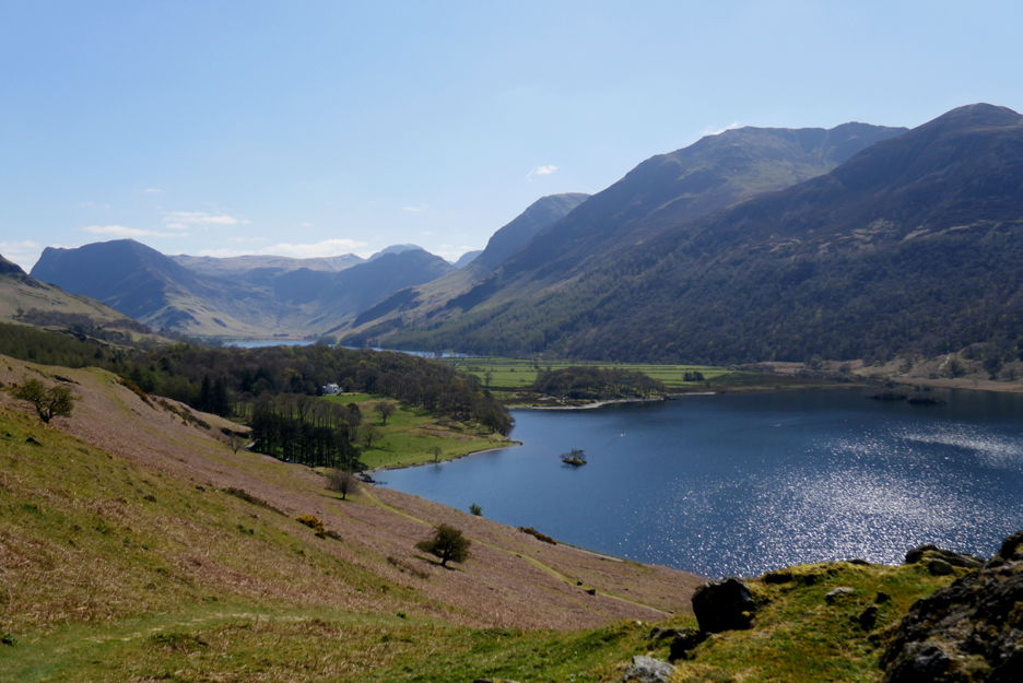
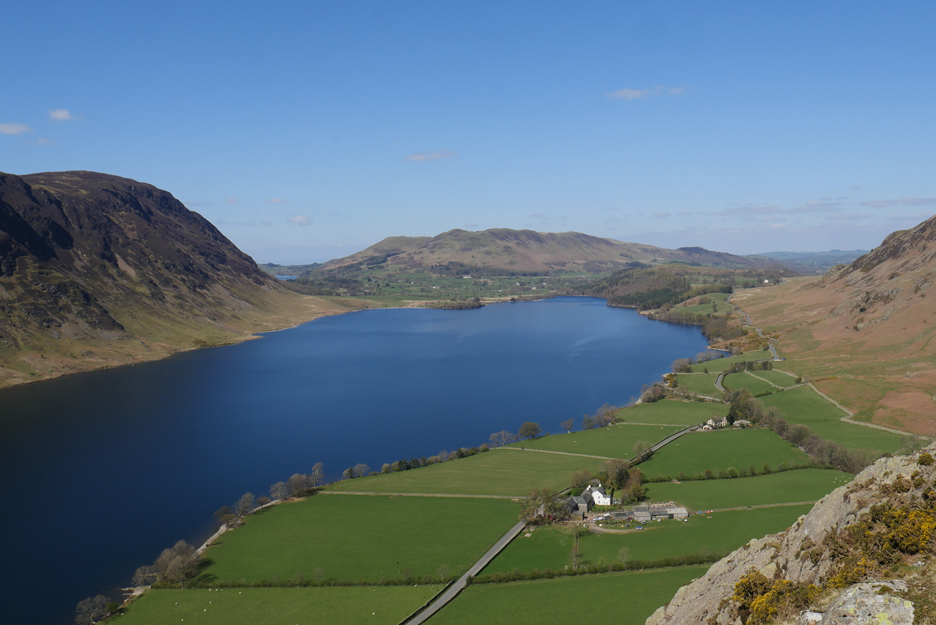
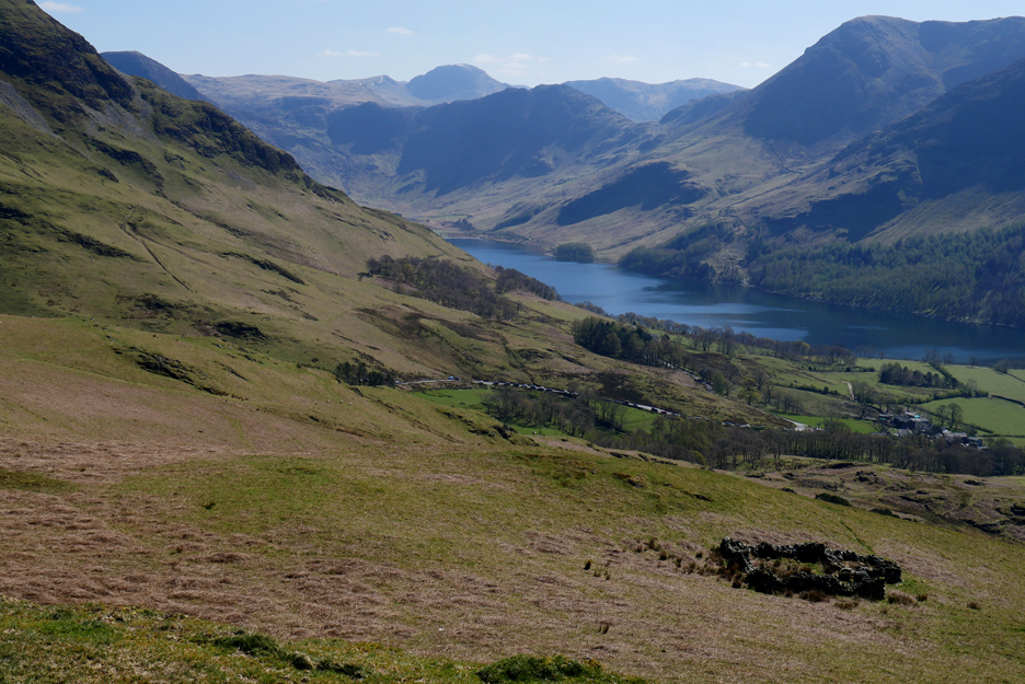
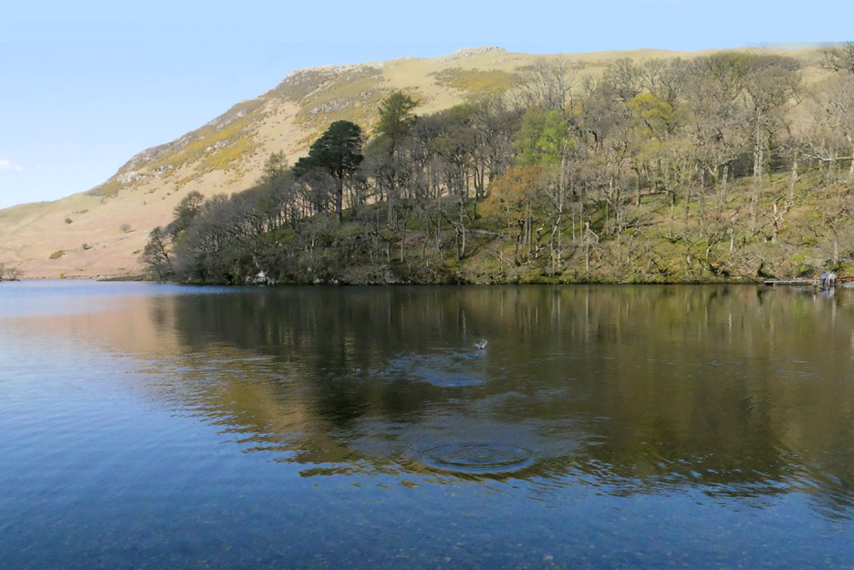
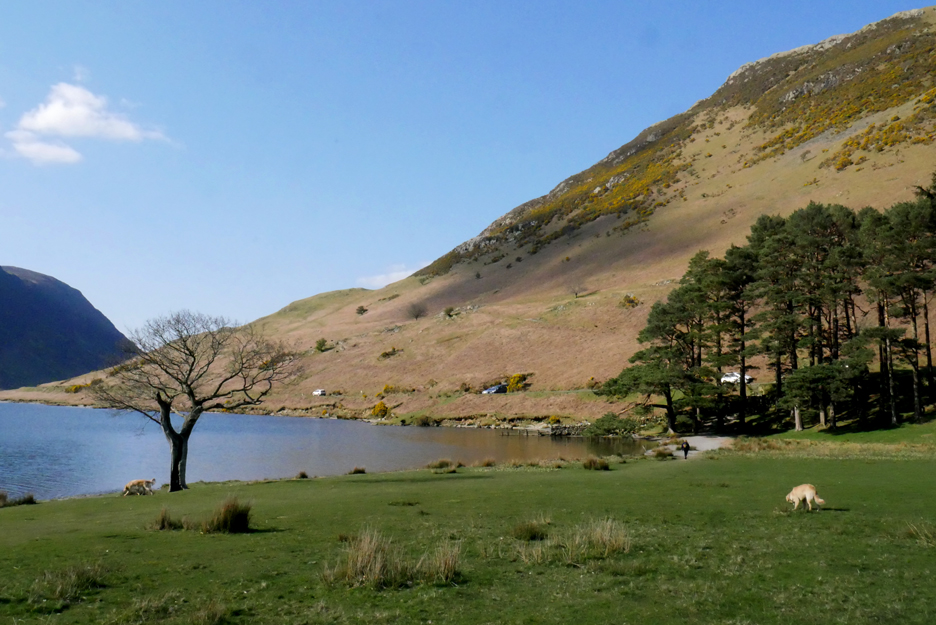
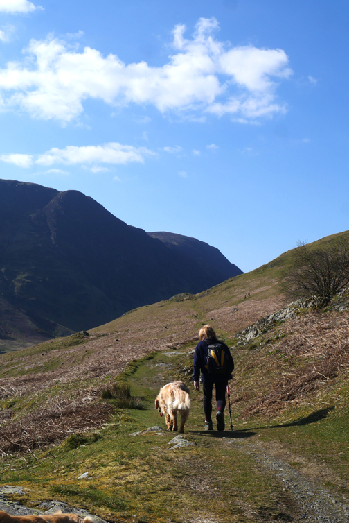
The first level ground above the road, where the old pony track climbs from the right and heads to Buttermere away to the left. High Ling and Low Ling Crags can be seen on the other side of Crummock, under the slopes of Mellbreak. There's a hard band of volcanic rock that would have joined the two but it was cut through by an ancient glacier.
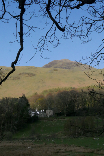
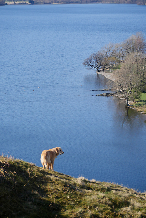
The second minor plateau on the way up gives us a first view today of Wood House and Buttermere Lake. The level green path through the bracken below will be our return route today.
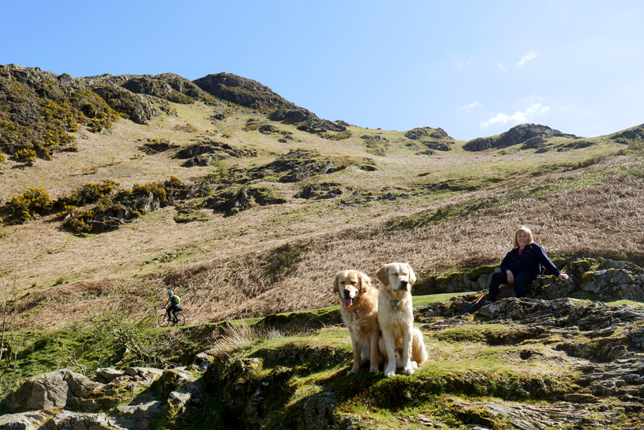
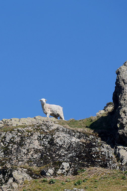
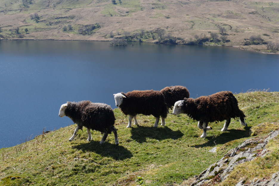
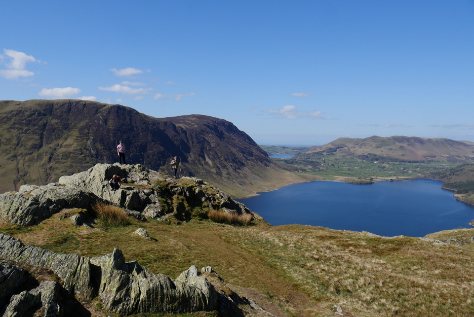
More locals on the fell . . . this time classic first year Herdwicks with their dark coats.
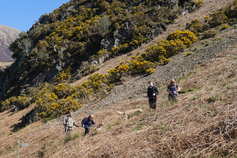
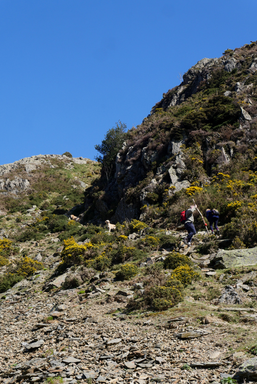
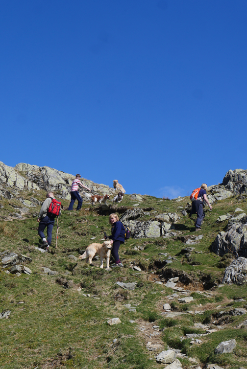
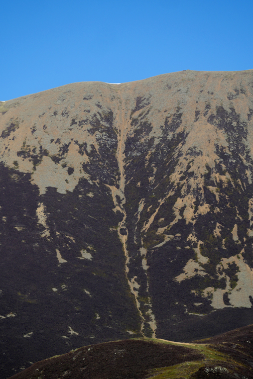
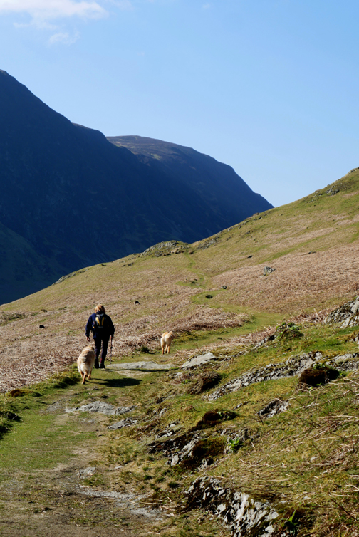
Still, it's a good way to gain height quickly.
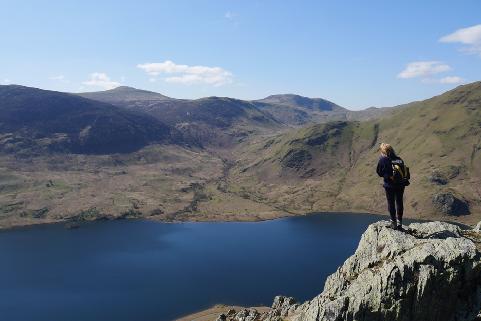
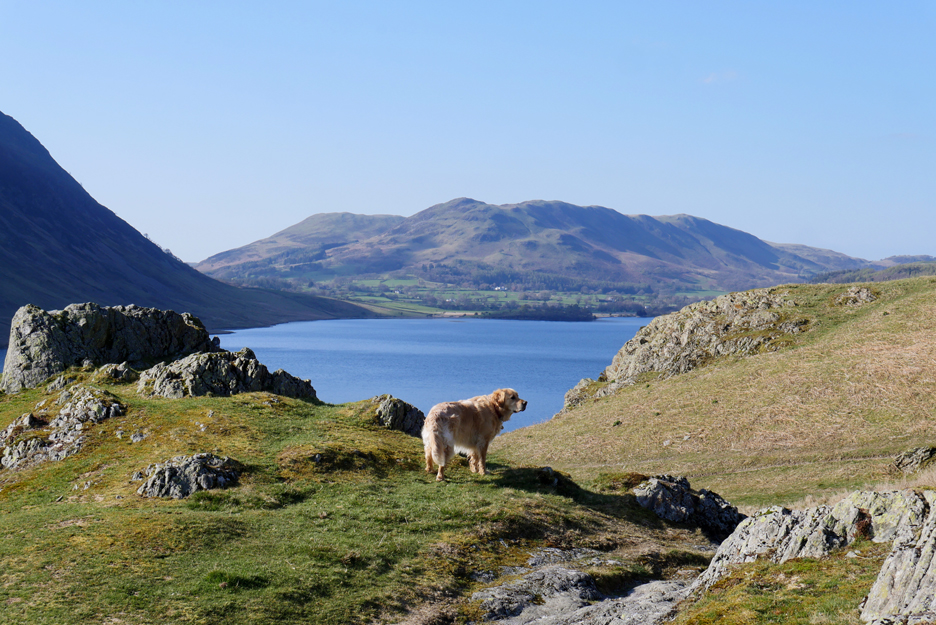
Ann reached the westernmost rock of the ridge and enjoys the best view from the fell.
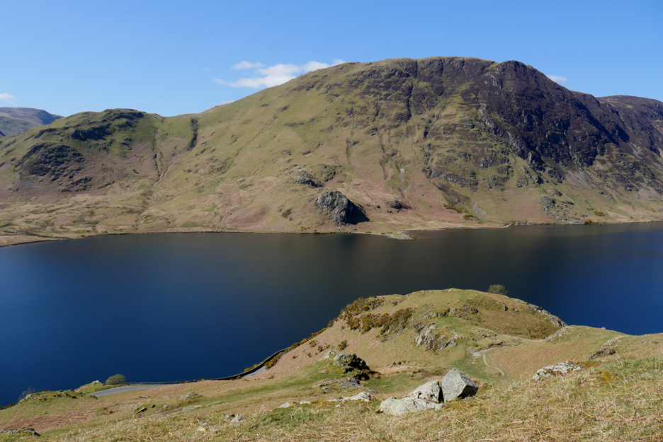
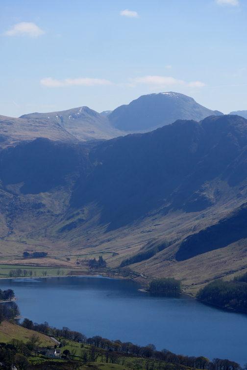
Buttermere to the left of us . . .
Mellbreak opposite and Loweswater and Low Fell to the right.
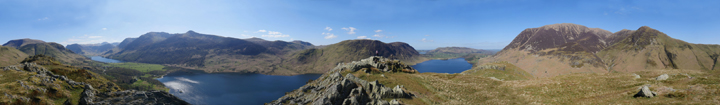
So you can also enjoy the view from the top of Rannerdale Knotts . . . Click here or on the photo above for a 360 degree annotated panorama
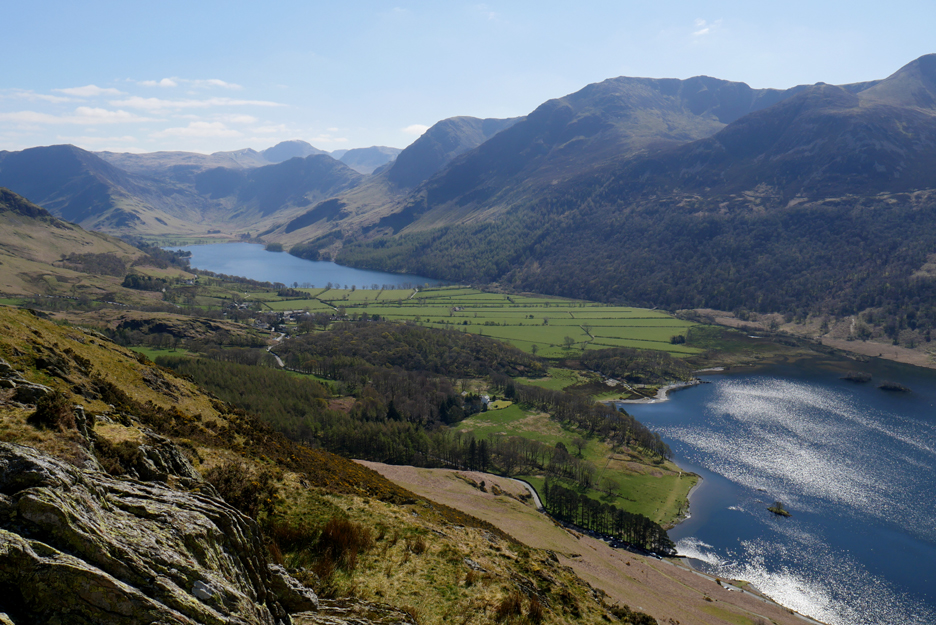
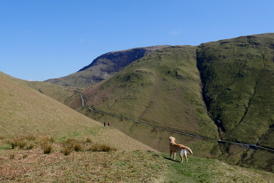
The old sheepfold above Buttermere is our cue to start our descent, but in fact we walked just a little further and joined the Whiteless Pike path down into the village.
Two walkers continue on into the Mill Beck Valley, but we head down at this point. The Newlands Pass road can be clearly seen on the flanks of the fells opposite.
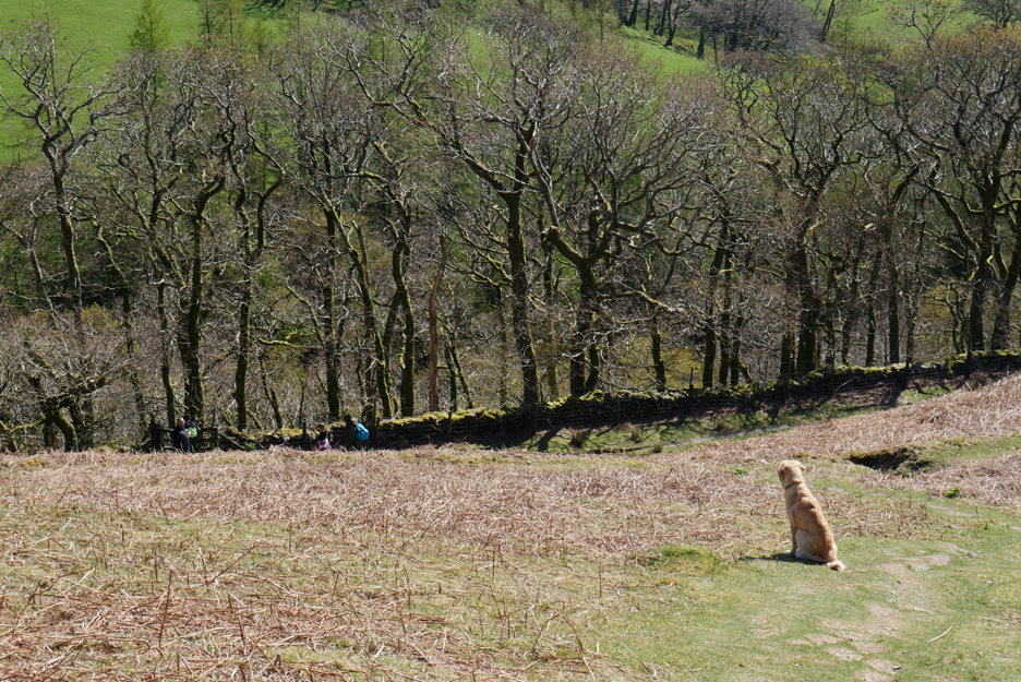
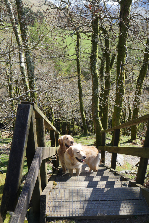
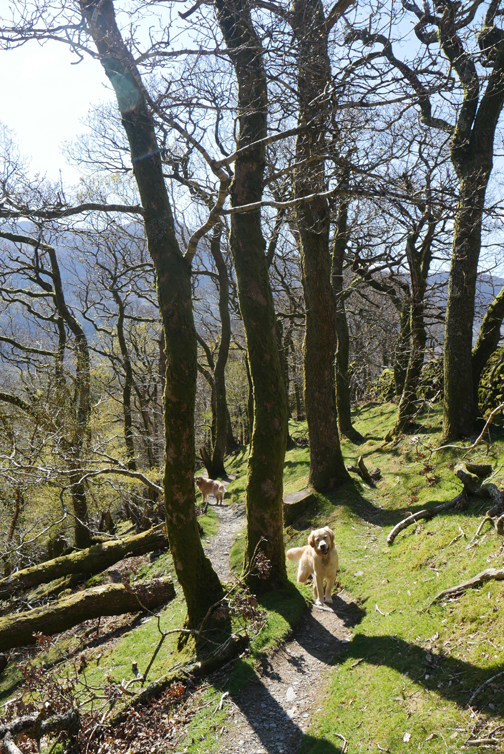
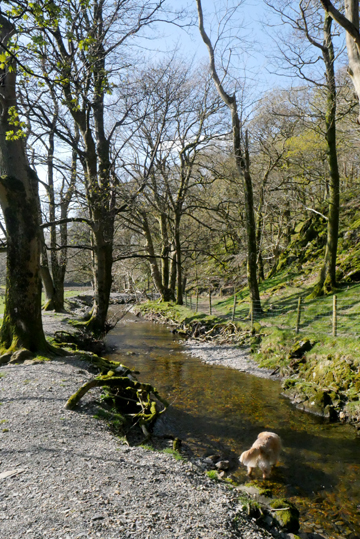
Dougal leading the way once again as we near the gate into Mill Beck Woods.
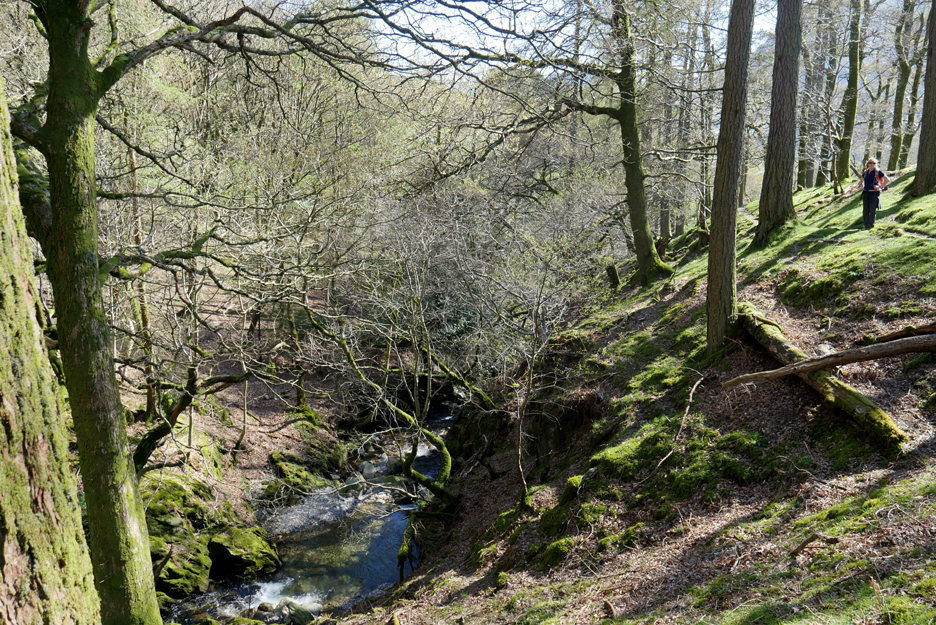
Mill Beck has carved a fine ravine down below the woods.
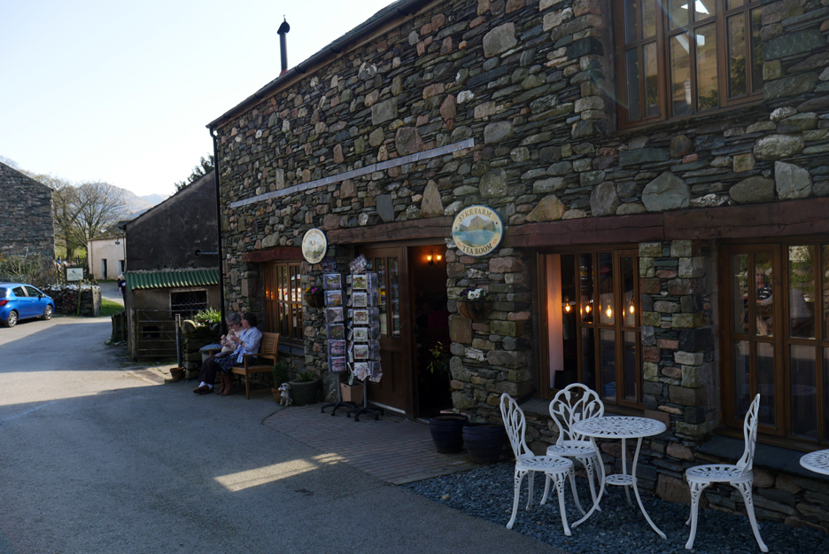
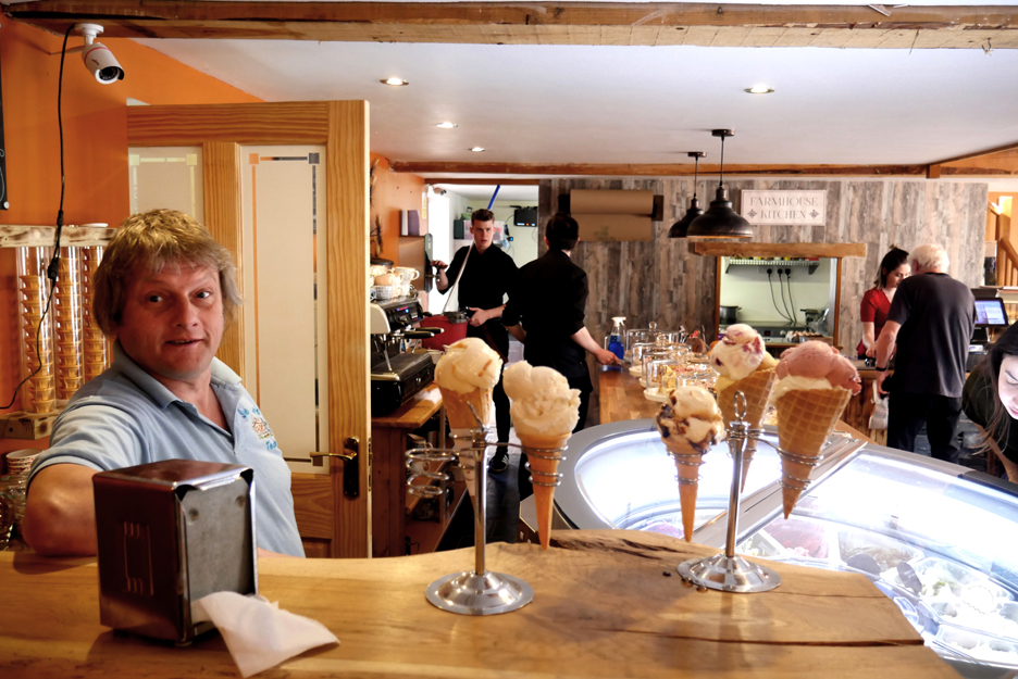
The cafe at Syke Farm . . . famous for lovely food and superb ice cream "for after's". [ Other pubs and cafes are available]
Italy meets Buttermere . . . on a lovely hot day.
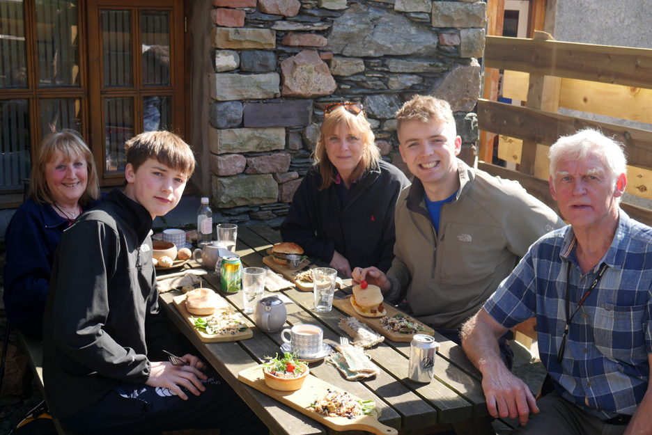
First some lunch . . . a wide choice awaits, for vegetarians, vegans or carnivores, all beautifully prepared and for us, served outdoors by attentive staff.
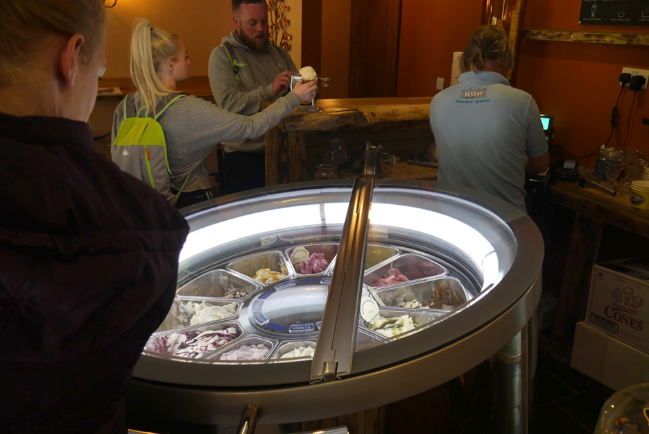
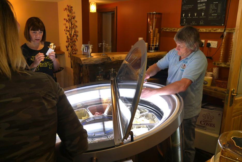
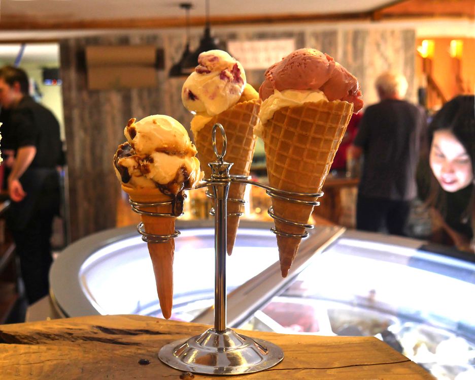
Les, ice cream maker of repute, has created a dozen flavours to chose from. (Sorry no chocolate today either Gareth) They are served in real style via a new Italian rotating display. It looks like a space station but there's not a galaxy in sight . . . only local Buttermere Ayreshire milk specialties.
In between his busy life of serving customers, he had time for a quick chat.
Mouth-watering refreshments on a fine day . . . as the next young lady makes a decision about what flavour to enjoy. - - - o o o - - -
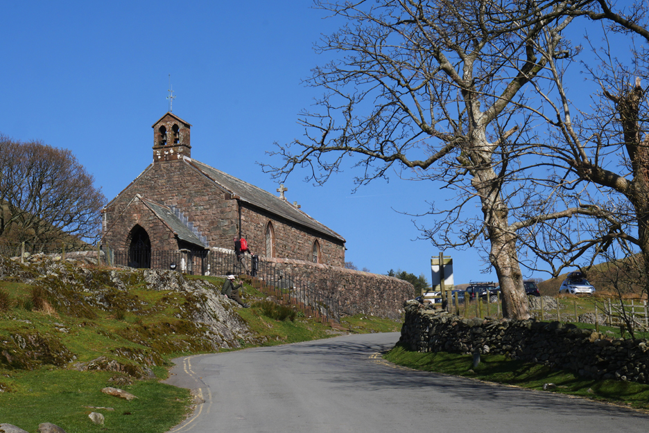
Onward and upward . . . but in our case we'll go downward into the village . . . fortified by a nice lunch. This is the picturesque St James's Church at the top of the village.
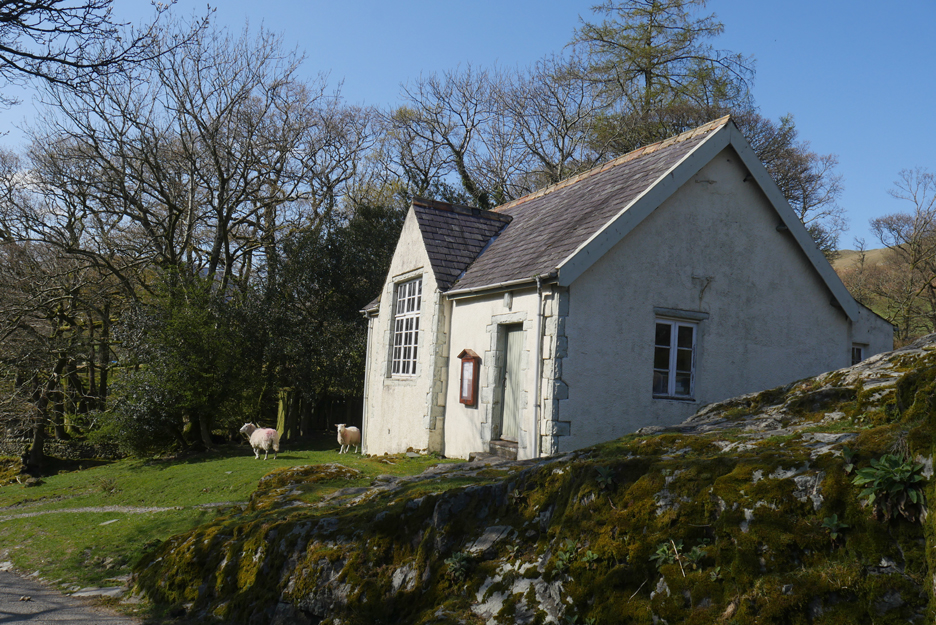
Not so many people photograph the old school, now the village hall, but it too has a fine historic style about it.
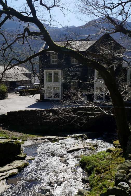
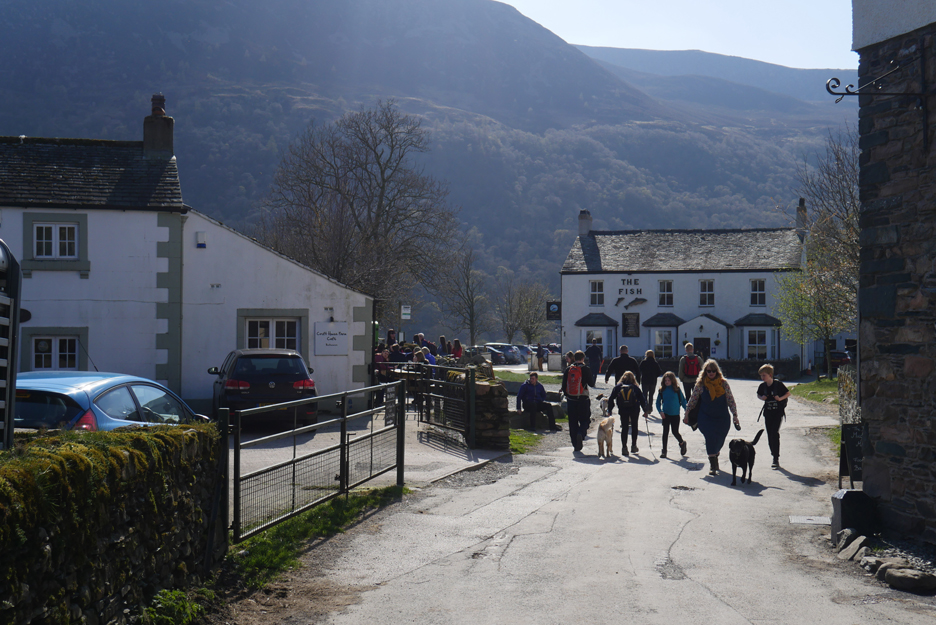
Down to the centre of the village, surrounded by The Bridge and The Fish Hotel and the popular Croft Cafe.
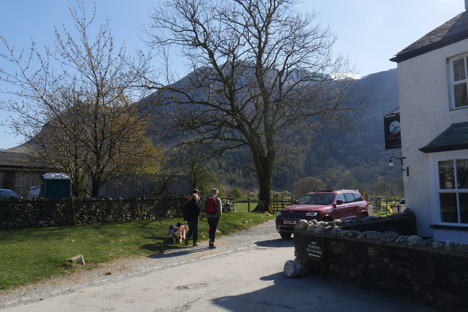
Cathy and the boys take a left at The Fish and head down towards Dubbs Bridge. [ Word of warning . . . the footbridge by Sour Milk Gill across the main river is still missing ]
Ann and I take a right and walk down through the National Park car park, heading for this side of the lake.
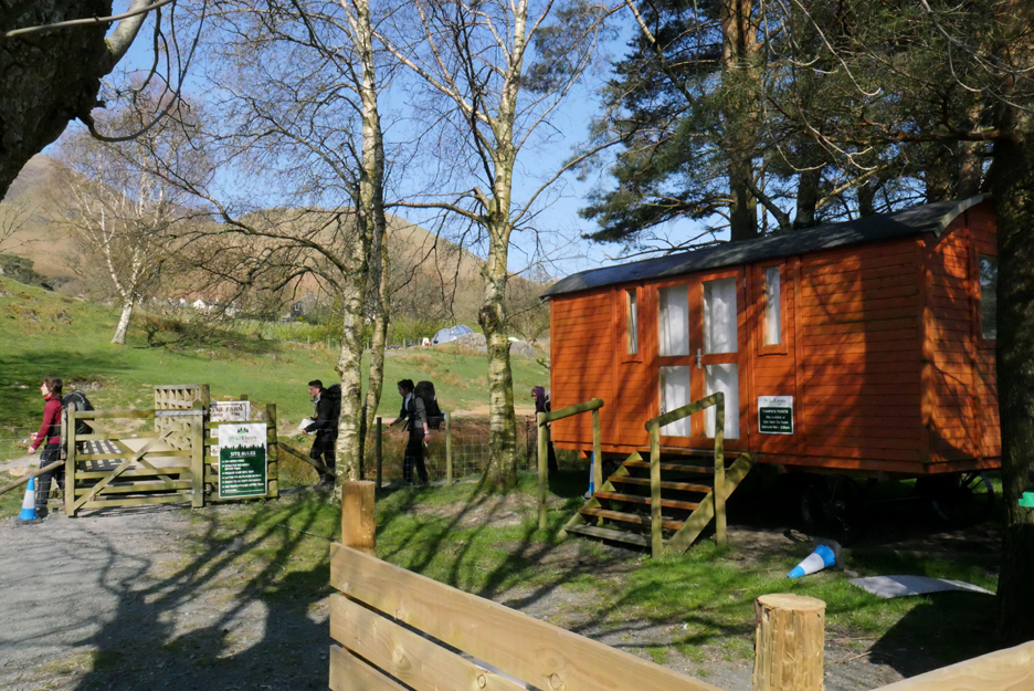
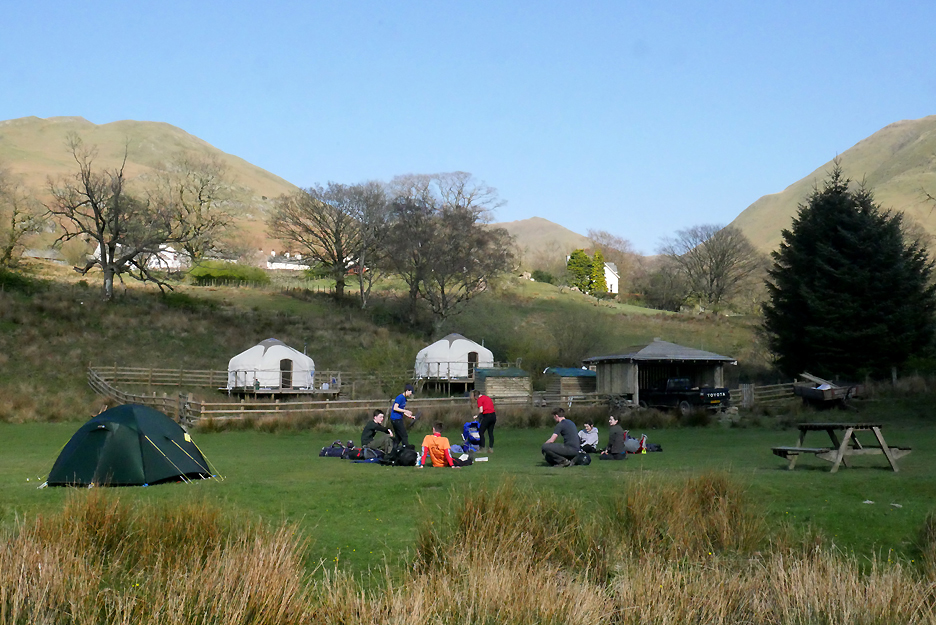
There's a new Shepherd's Hut on wheels down by the Syke Farm Campsite
They have new Yurts for a touch of elegant 'glamping' too.
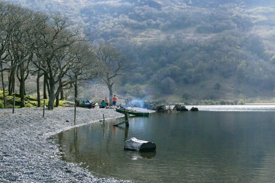
Down on the lake a boating party has come ashore for their lunch.
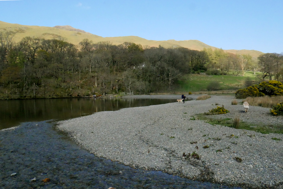
We follow round the gravel shore towards the road.
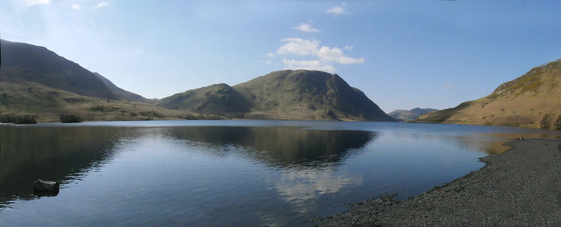
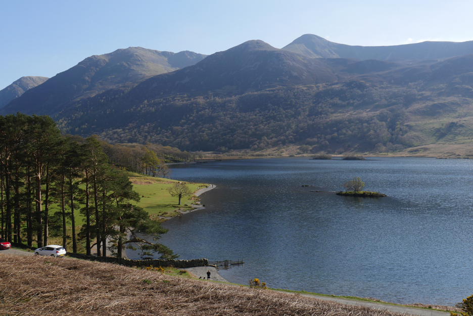
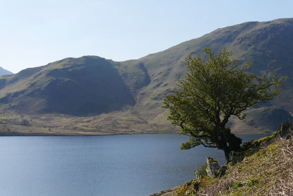
The fine panorama across the lake towards Mellbreak.
Skimming stones and photography together . . . not so easy as it looks !
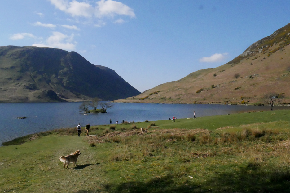
On around the head of the lake to the field below Wood House, busy today with visitors.
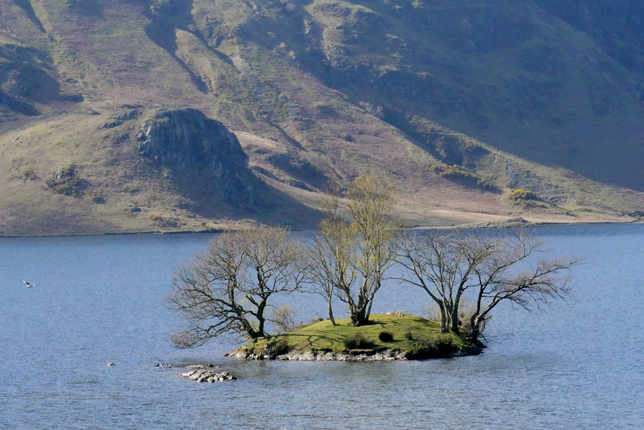
Wood House Island . . . looking across to High Ling Crag.
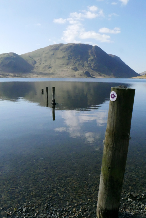
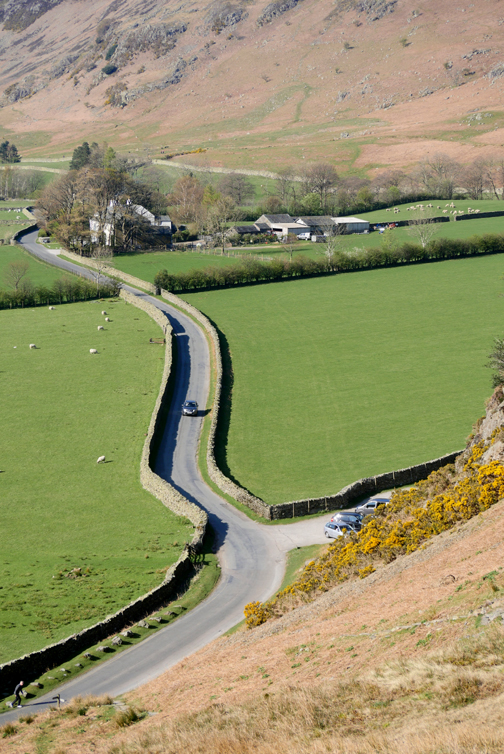
Up to the white car and then take the old pony track we mentioned earlier, which climbs slowly to Hause Point once again. [ Note: if you are using this page for navigation, bear in mind that the white car may not be there any more !]
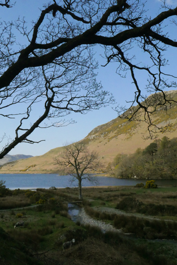
Couldn't resist this glimpse through the trees to Mellbreak once again.
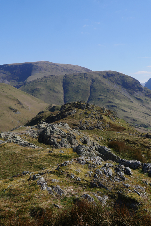
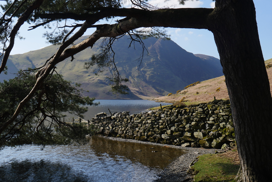
Looking back at the Crummock Pines and across to the High Stile Ridge. Red Pike's outlier, Dodd, really stands out from here. You can climb direct via an indistinct but lovely Ruddy Beck path
Fleetwith Pike stands out at the head of the valley, with the top of Great Gable just appearing once more behind Haystacks.
This hawthorn tree is well into leaf as we look across to Scale Knott on the other side. We are nearing the high ground of Hause Point, the others should be in sight on the other side of the lake by now.
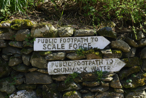
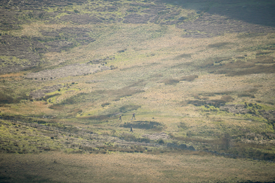
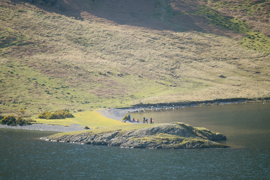
They are walking back alongside the lake, missing Scale Force today as they visited it last time they were here. A full zoom picks them out but only just with the naked eye. The bigger image here is clearer. I couldn't see the dogs but they are walking to heel if you look closely.
A few minutes later and they reach Low Ling Crag, where there's already another group on the beach.
On this side of the divide it is only one short hop and we'll be heading downward for the last time.
Just as we thought it was all over, we were greeted by Bev Ashton, long time viewer of Loweswatercam. She has been following the site and the dogs for many years. It was the dogs she recognised first even though we've lost Harry and gained Dougal in the last eight months. Regards also to her daughter who took the photo. [ When you see this Bev, give us a shout as we've lost your email address for some reason.] And so to the cottage for refreshments with Cathy and the boys, once they arrive home from their 'round the lake' walk. - - - o o o - - - Technical note: Pictures taken with either Ann's Panasonic Lumix TZ60, or my Panasonic Lumix Gx8 Camera. Resized in Photoshop, and built up on a Dreamweaver web builder. This site best viewed with . . . a rotating Italian visitor . . . full of lovely Buttermere ice cream. Go to Top . . . © RmH . . . Email me here Previous walk - 8/9th April - Cathy and the Boys A previous time up here, 8 years ago, almost to the day - 2nd April 2011 Rannerdale Knotts in the Sunshine Next walk - 9/12th April - The Rest of the Week
|