![]()

Remember: Press F11 for a full
screen view of this page.
|
|
|
Remember: Press F11 for a full
screen view of this page. |
|
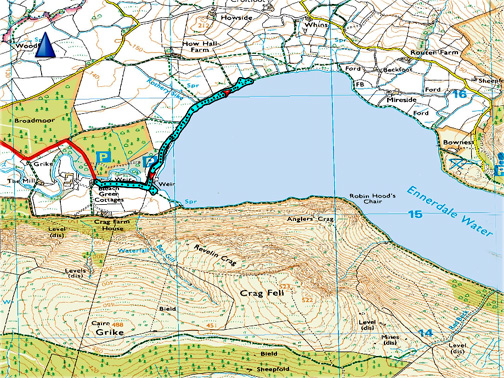
" Ennerdale by the Lakeside" Date & start time: Wednesday 23rd January, 2019. 2.30 pm start. Location of Start : Bleach Green car park, Ennerdale Bridge, Cumbria, Uk. ( NY 085 153 ) Places visited : Bleach Green to the old Anglers Hotel grounds, and return. Walk details : 2 miles, negligible feet of ascent, an hour or so. Highest point : The view up the lake. Walked with : Ann and our dogs Dylan and Dougal. Weather : Sunshine and blue skies but clouding over from the west. |
© Crown copyright. All rights reserved. Licence number PU 100034184. |
|
After a busy morning Ann and I get out for a more purposeful walk and chose Ennerdale as somewhere local but out of the valley. By walking from Bleach Green around the western lake shore we'd hopefully be in the sun on this lovely afternoon as it has a more open aspect. Let's hope the next cloudy weather system stays away and so gives us the views that we travelled to see.
" Going over the top " we drive up and over the western end of the Loweswater Valley and look back at the familiar North Western Fells, but from slightly further away.
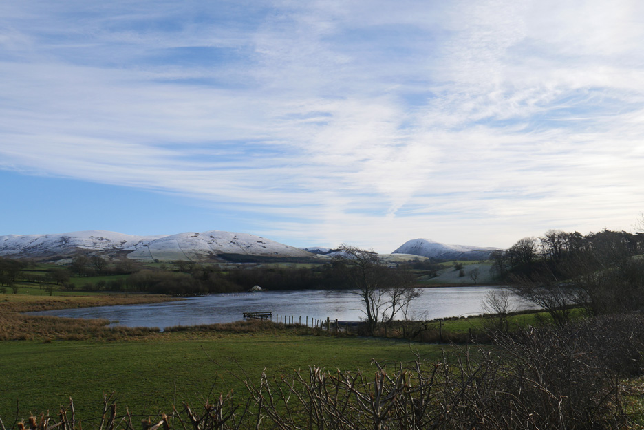
A gently frozen Mockerkin Tarn . . . taken from the layby off the Lamplugh to Egremont Road. The rolling fells are Blake and Owsen Fell, the larger boat-shaped one, Knock Murton.
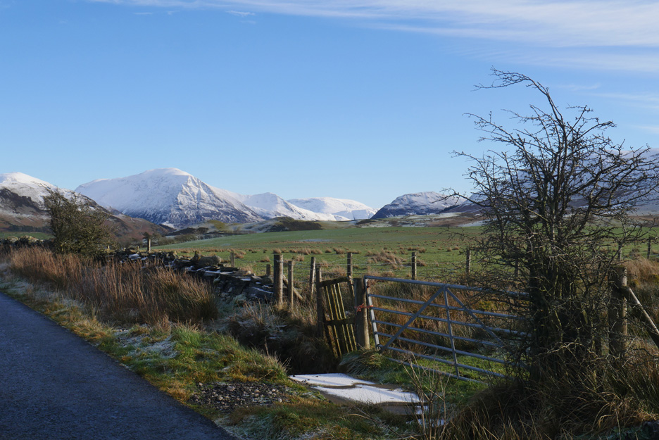
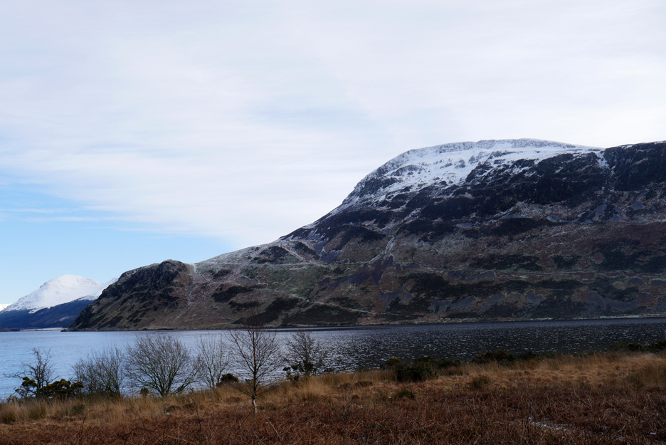
Another rise and fall of the road and we pass through Kirkland Village and get our first views up Ennerdale Valley. We're looking at Great Borne, The Pillar Group and Crag Fell, all topped with snow.
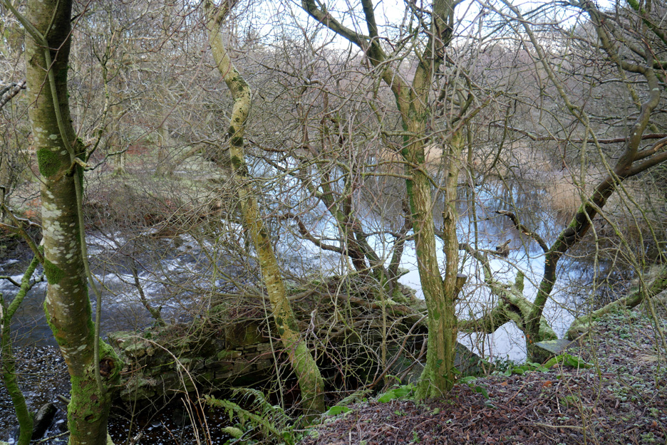
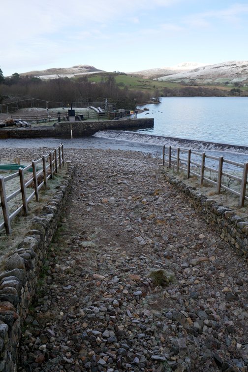
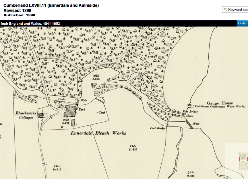
Bleach Green car park was so named after the bleaching of cloth after weaving. That would imply a mill . . . and here was the possible weir for that mill . . . however the riverside is not accessible to explore further.
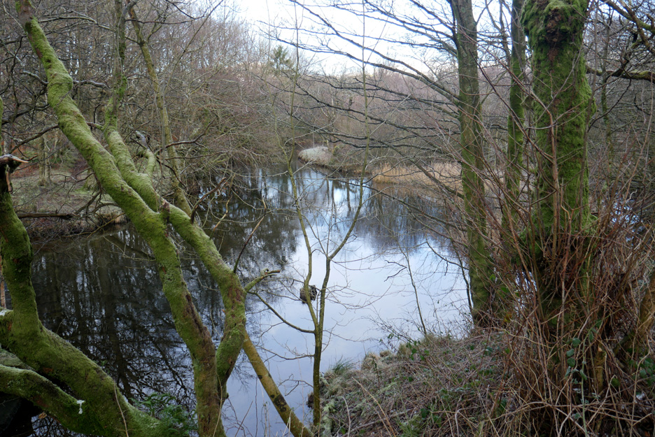
Above the weir a calm pool has formed in the river.
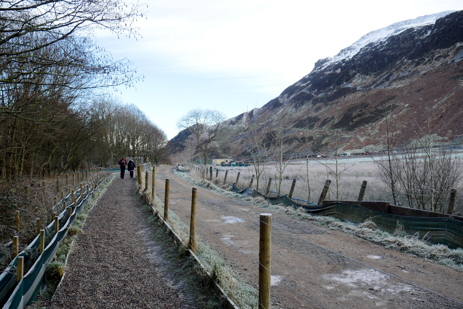
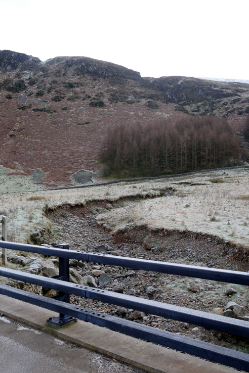
There's now a gravel footpath alongside the track, presumably because of the amount of works traffic on the water project.
Ennerdale Weir . . . with the water gently flowing over it. To the left is the fish ladder, to the right the gravel bank of stone washed out of the Ben Gill stream bed.
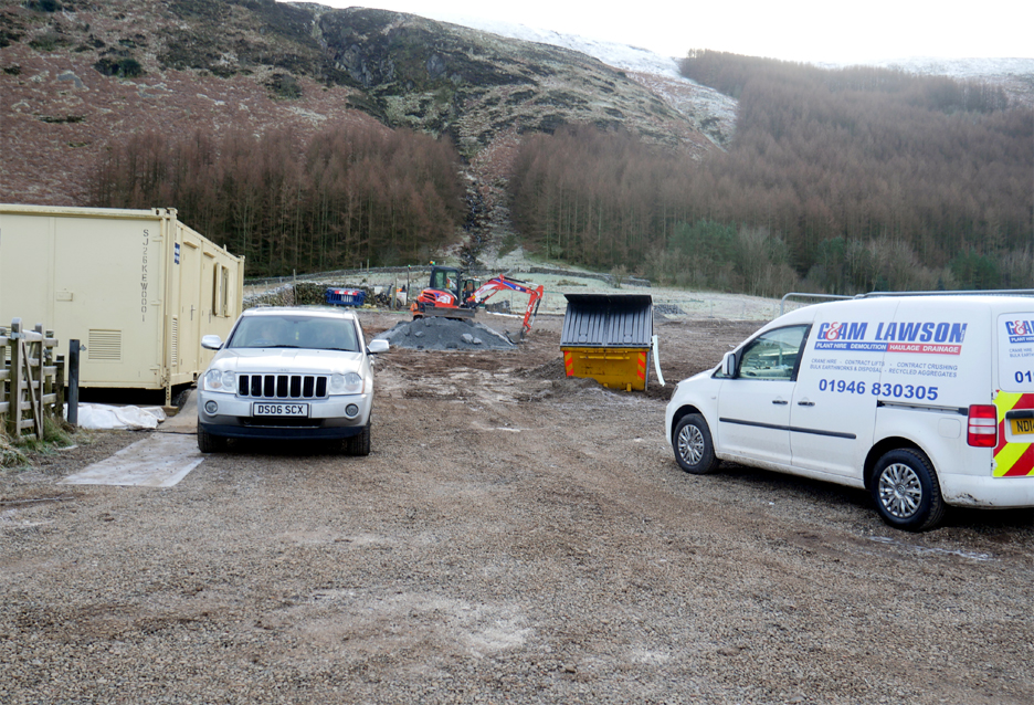
The idea was to introduce small amounts of gravel direct into the river to benefit the fish spawning and the fresh water mussels. Nature being what it is, the elements have conspired to do their own thing and created results far in excess of the original objective. - - - o o o - - - Within all this confusion is the separate United Utilities project to back feed water into the lake to protect the basic river levels, a scheme which was a necessity due to the high water abstraction rate and the low seasonal rainfall in recent years.
What is uncertain is how long will this mess continue ? Enquiries to United Utilities please, not me ! - - - o o o - - - Time to continue our walk . . .
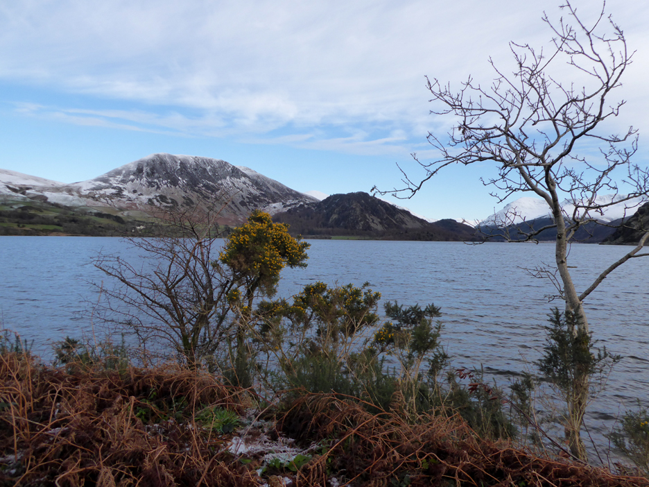
Down in the bottom of the valley there's a heavy frost on the lakeside plants and grasses.
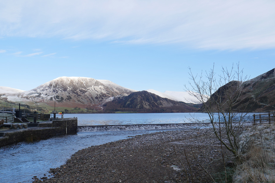
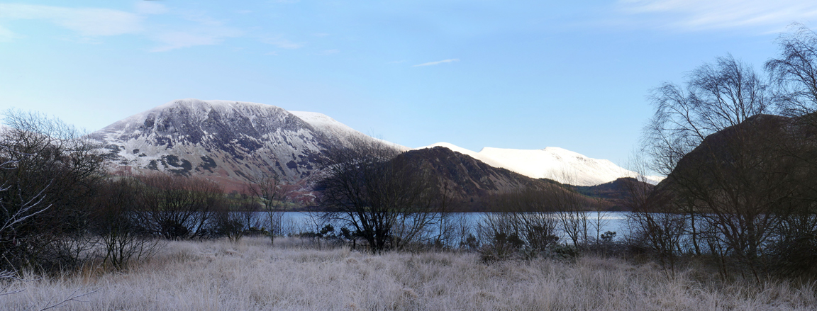
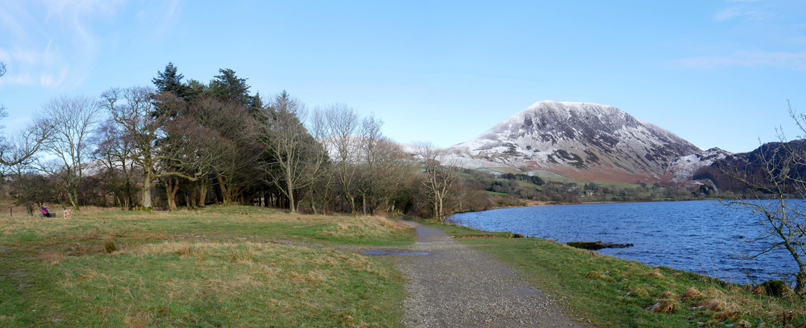
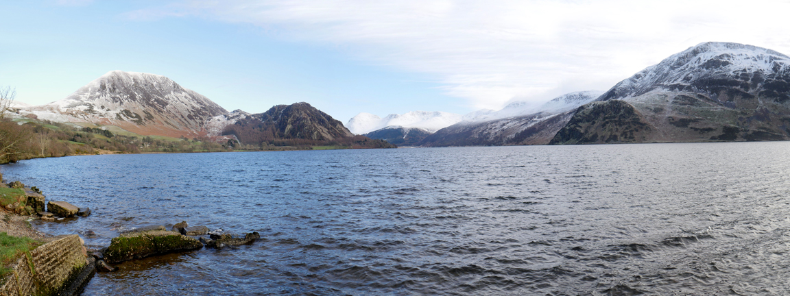
Great Borne has a light covering of snow, Pillar further up the valley has more.
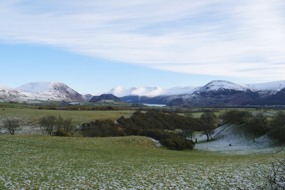
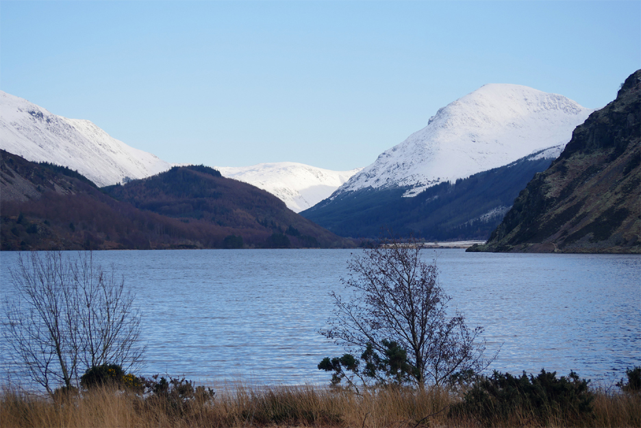
Sadly the cloud has started to move in from the west . . . so our potentially sunny path is in the shade. However the fells at the head of Ennerdale are bright enjoying sunlight which makes the snow gleam.
Around the first fence our distant view of Pillar Fell extends sideways to include Steeple and Scoat Fell.
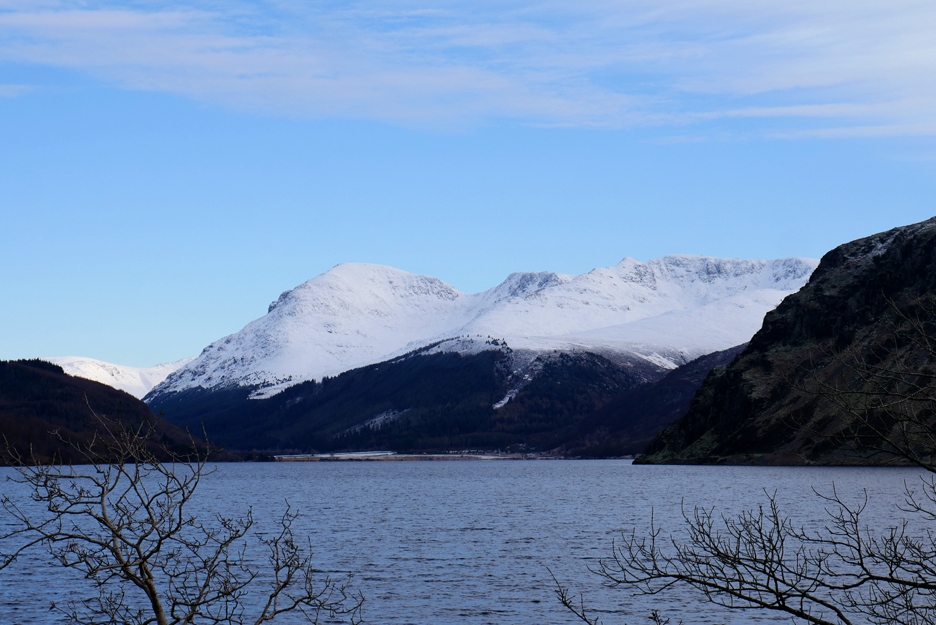
Zooming in on the high fells. The crags of Pillar Rock are starting to appear on the left hand slopes of the main fell.
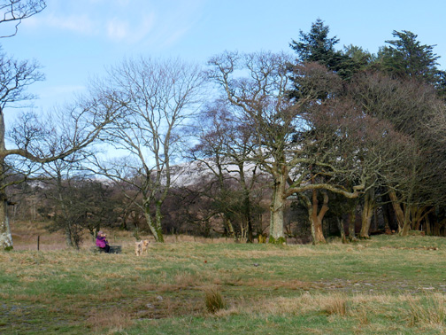
The flat open area, beloved of west coast locals on a hot summer's day, was the site of the old Angler's Hotel.
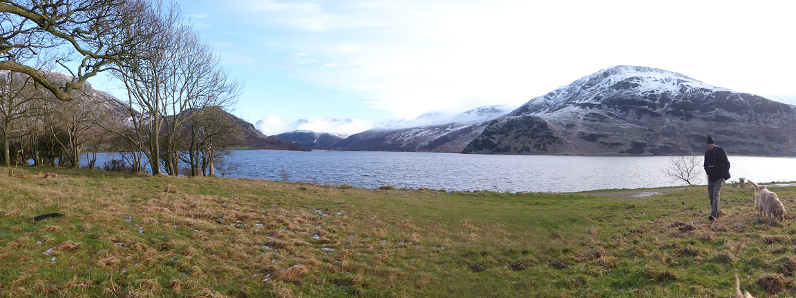
Dylan's attention is caught by something or someone.
. . . probably Dougal and myself.
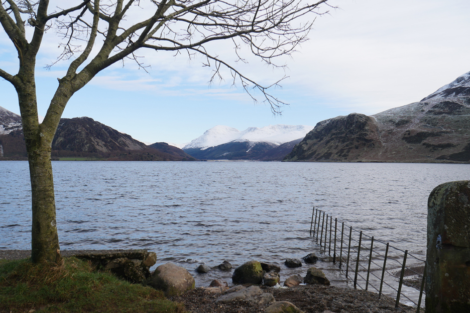
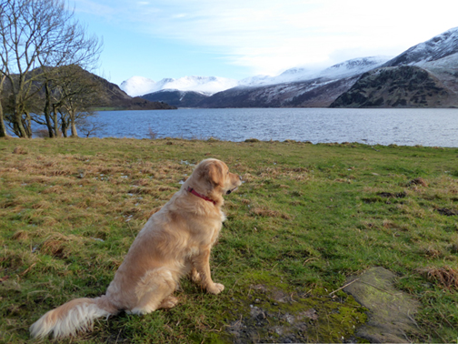
I had held back in order to take my own panoramic photo from the old jetty. The snow line from here includes Haycock but the late afternoon cloud is starting to shroud the summit ridge.
A quiet few minutes to contemplate the view then we turn for home.
The sky is turning quite overcast now and the bright colours have faded even more. - - - o o o - - - An uneventful return to Bleach Green but on the return to Loweswater we stopped the car once again to admire the view.
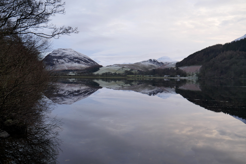
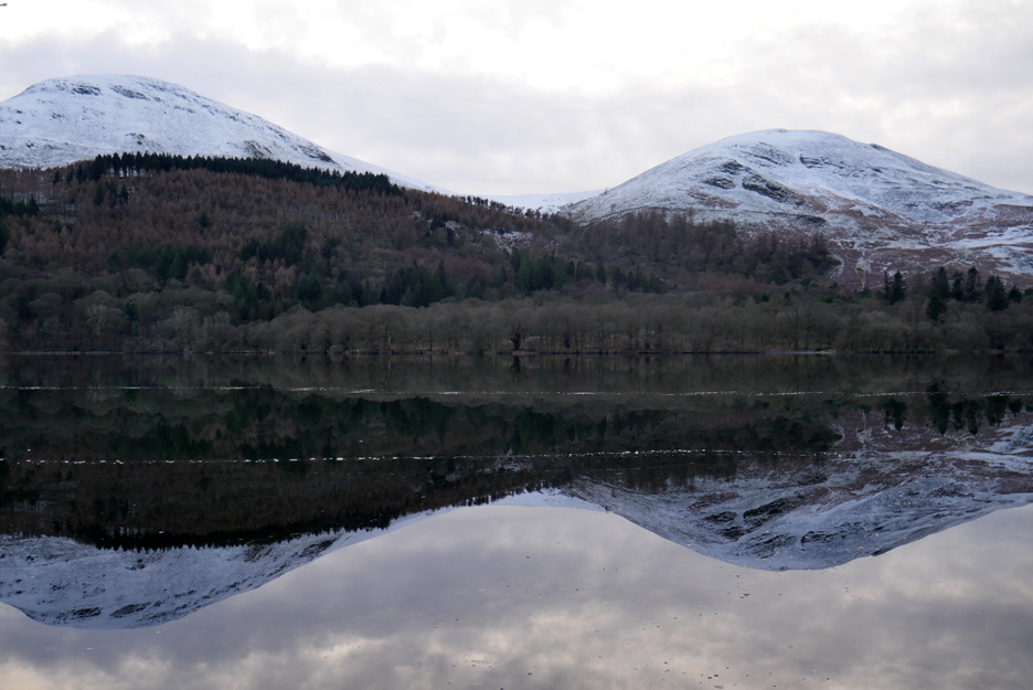
Mellbreak and Watergate Farm . . . from half way along the lakeside.
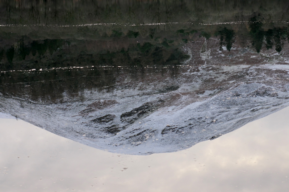
Still water with two lines of what seem to be ice.
Stunning reflections . . . oh for a bit of sunshine . . . but that won't happen till the next fine early morning when the low winter sun shines briefly across the lake. - - - o o o - - -
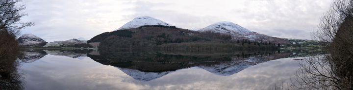
One last photo of today's walk for you . . . make it bigger to make it last longer ! Click here or on the photo above for a larger annotated panorama. - - - o o o - - -
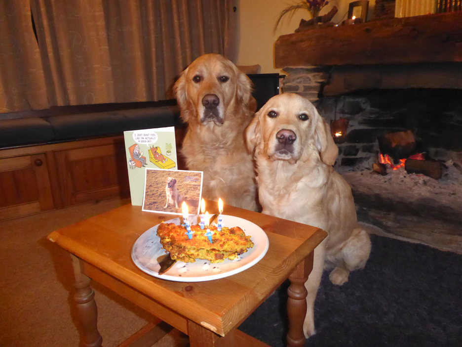
As I mentioned on the last posting, it was Dylan's fifth birthday today so we baked a carrot cake. Not your ordinary carrot cake with sugar and flour, this one has cheese and veg, five candles and two serious dogs waiting patiently . . . - - - o o o - - - LATE ENTRY:
That's amazing Syd. I hadn't realised the potential of The Nat Library of Scotland who seen to have archived every conceivable old map. Full marks and full credit. The public link to their maps is here. It seems the present day Bleach Green car park was built on the old works buildings. We briefly thought about buying the old Beachworks Cottages when we moved to the Lakes 18 years ago. I'll be much better informed for our next visit. Now to investigate the Loweswater Lead mines on old mapping ! Thanks Syd . . . RmH - - - o o o - - - Technical note: Pictures taken with either Ann's Panasonic Lumix TZ60, or my Panasonic Lumix Gx8 Camera. Resized in Photoshop, and built up on a Dreamweaver web builder. This site best viewed with . . . a well known birthday song. Go to Top . . . © RmH . . . Email me here Previous walk - 21- 23rd Jan - Moons, Birthdays and Snow A previous time over here - 23rd June 2014 - Crag Fell and Grike ~ Jill & Nigel Next walk - 31st Jan - Frosty Lorton Valley
|