![]()

Remember: Press F11 for a full
screen view of this page.
|
|
|
Remember: Press F11 for a full
screen view of this page. |
|
" Burnbank from Fangs Brow - Walk 1 " Date & start time: Monday 29th October, 2018. 10.30 am start. Location of Start : Fangs Brow, Loweswater, Cumbria, Uk. ( NY 105 224 ) Places visited : The Coffin Route and Burnbank. Walk details : 2.8 miles, 850 feet of ascent, 1 hours 50 mins (approx). Highest point : Burnbank 1543ft - 475m. Walked with : Jenna solo. Weather : A lovely Autumnal Lakeland morning. |
© Crown copyright. All rights reserved. Licence number PU 100034184. |
|
I've combined Jen's mid-morning walk photos from the 29th October with those of her outing with her nephew, our grandson Jack, and his partner Catherine on the 30th. Burnbank Fell one day, Ladyside, Hopegill Head and Whiteside in more gloriously sunny weather on the following day.
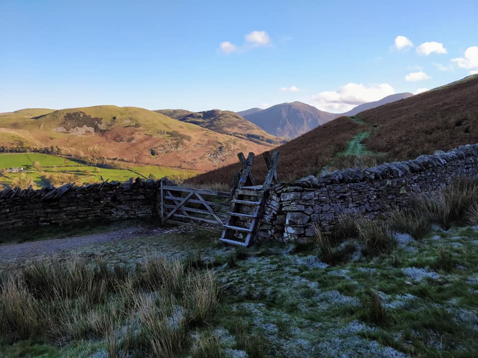
The ladder stile and gate on the Coffin Road at the start of the steeper ascent of Burnbank Fell.
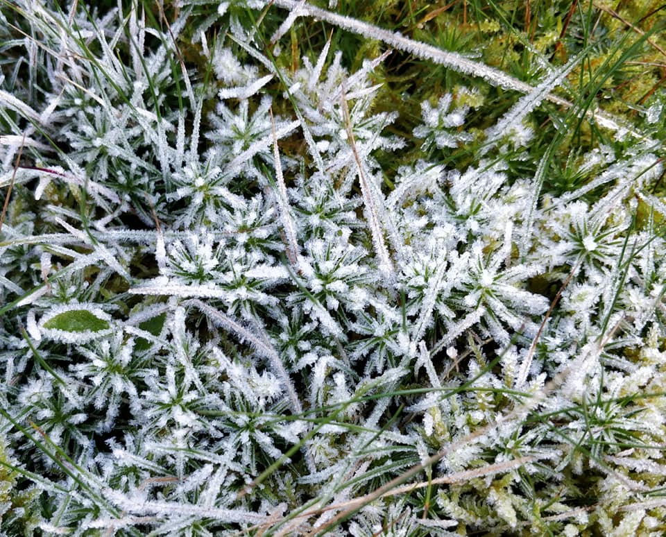
In the shade and shelter of the north facing wall the frost was still thick.
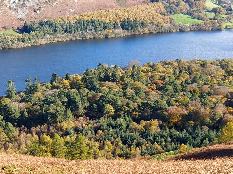
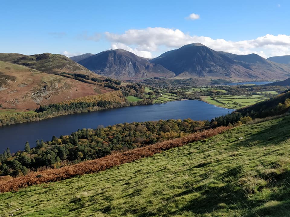
Looking down on the colourful Holme Woods that she and I had viewed from the other side before breakfast.
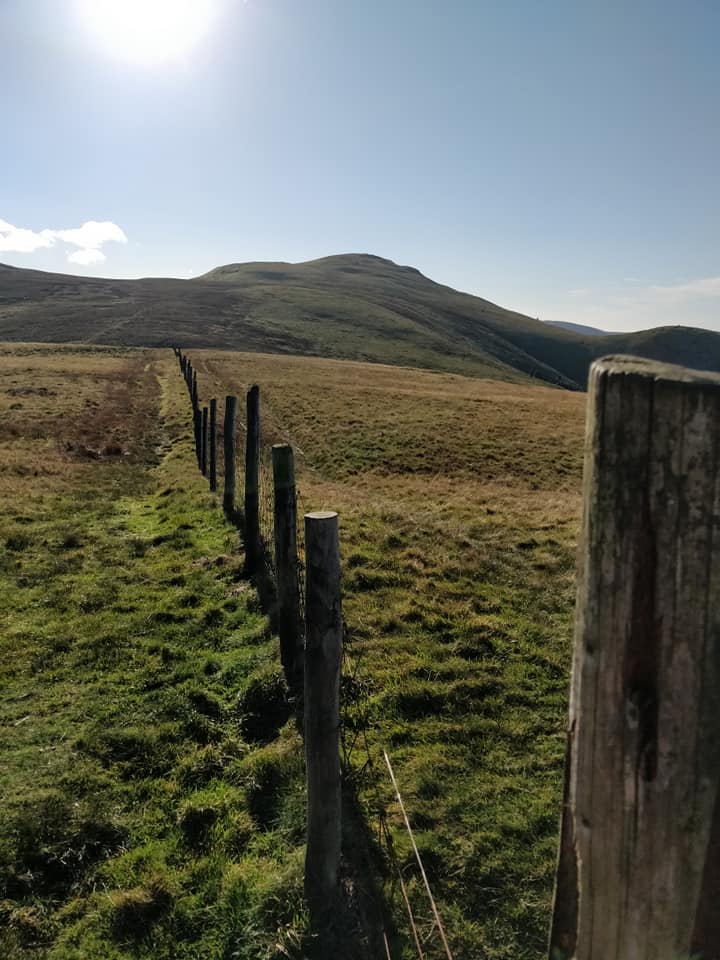
Burnbank Fence looking towards Blake.
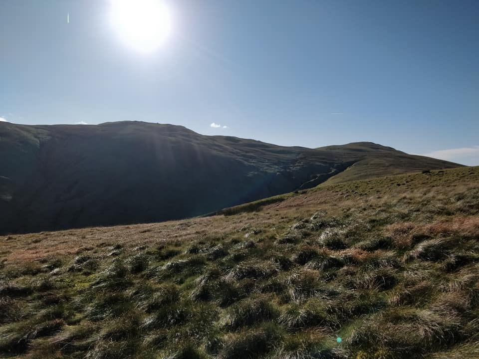
Too far for a full round or even a second summit for herself so she turned back and walked across the moorland of Burnbank.
Not the easiest of walking away from the path.
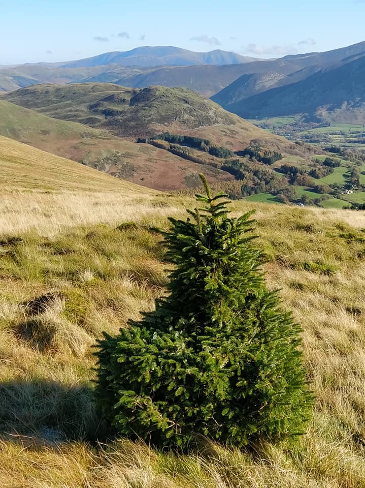
A lone Christmas Tree, no doubt its seed was dispersed by a bird some years back.
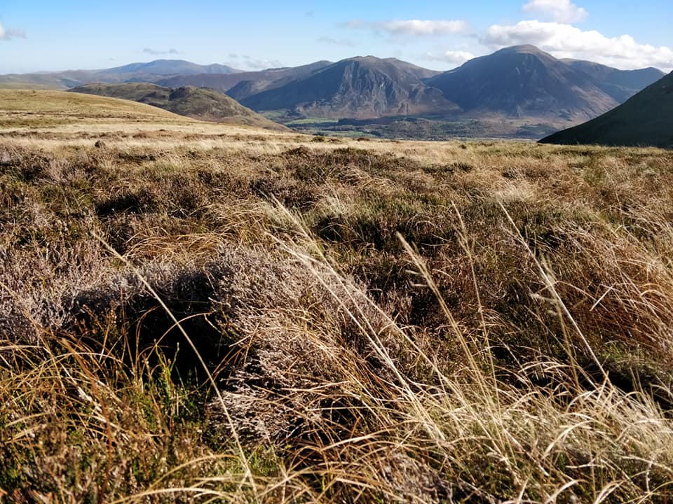
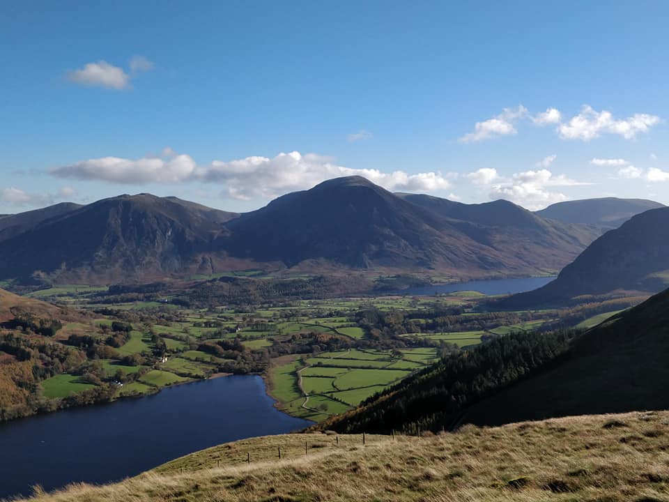
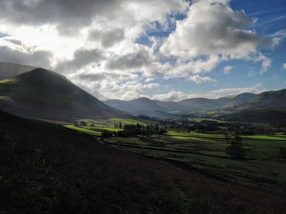
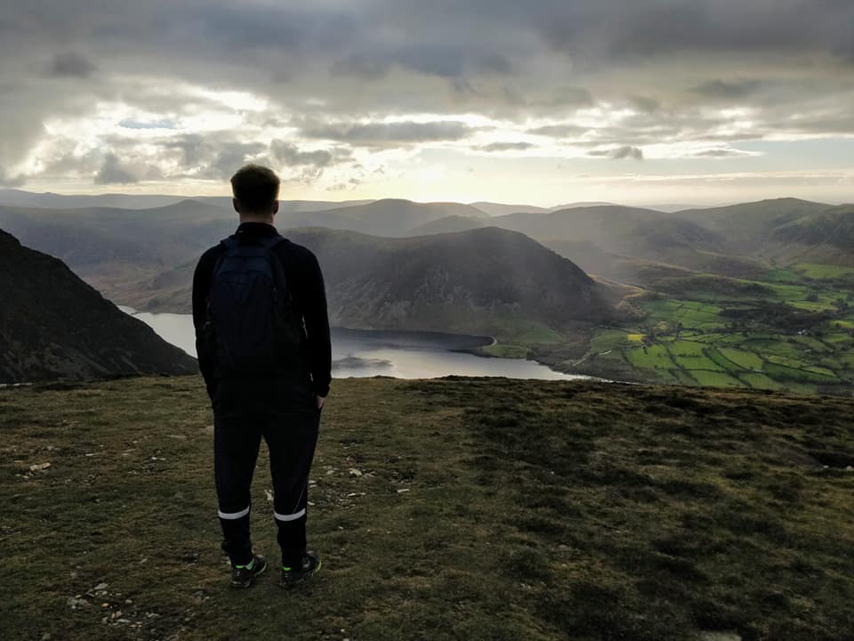
Life on the edge . . . looking down on Loweswater and Crummock Water. The houses of Loweswater spread across the middle ground and behind are Whiteside and Grasmoor fells, Robinson in the distance.
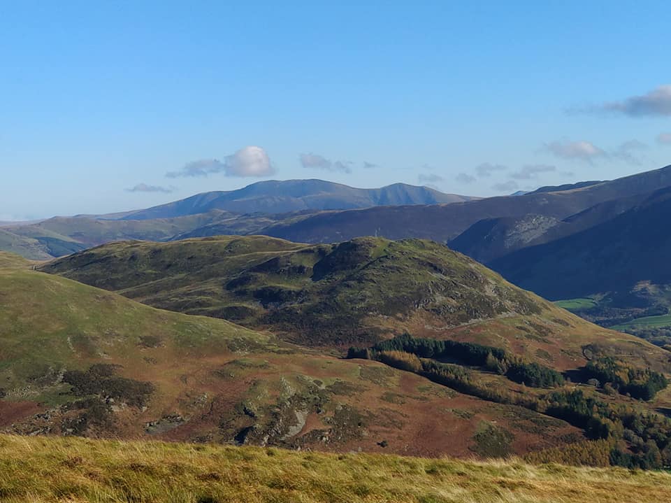
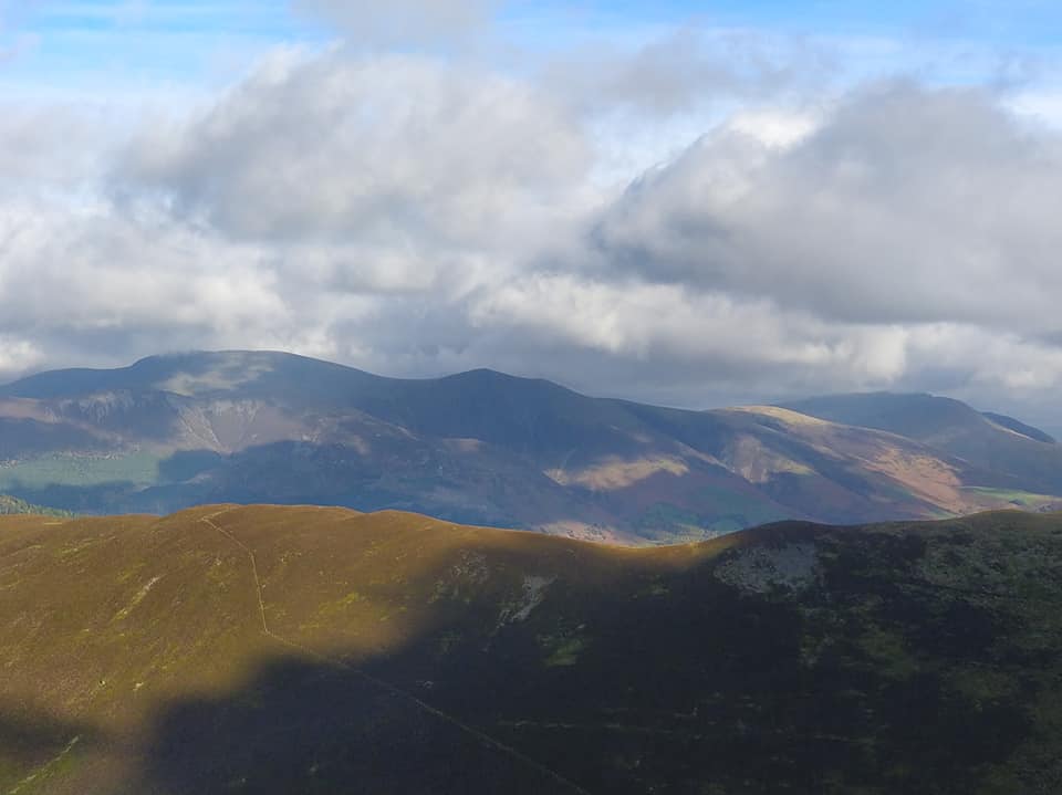
Lovely long distance views of Low Fell, the Swinside ridge she would climb tomorrow, Skiddaw and Skiddaw Little Man.
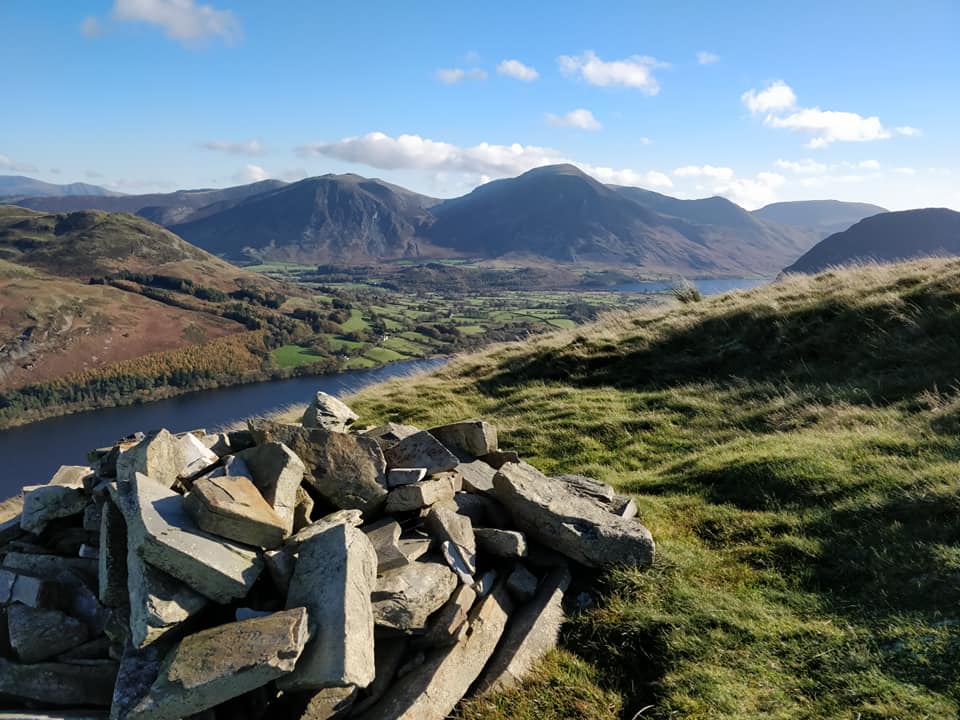
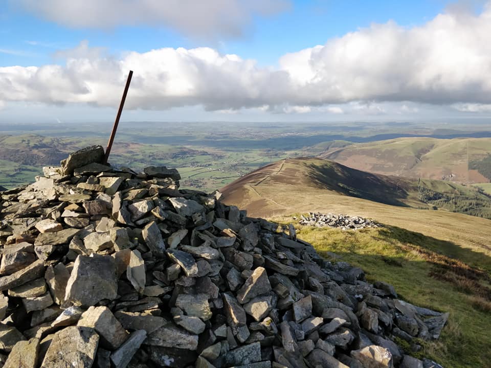
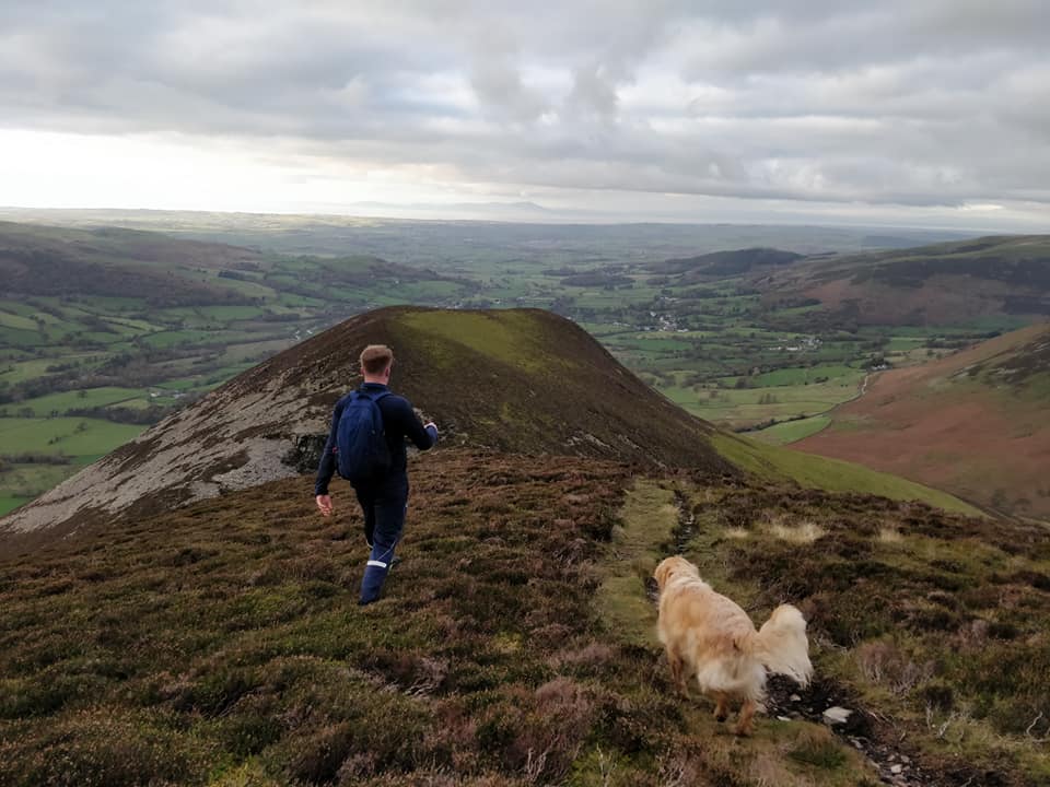
The cairn on the end of Burnbank.
Making her way back down to the Coffin Route and back to the car at Fangs Brow. - - - o o o - - -
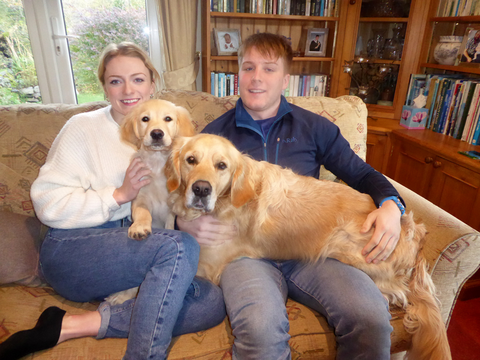
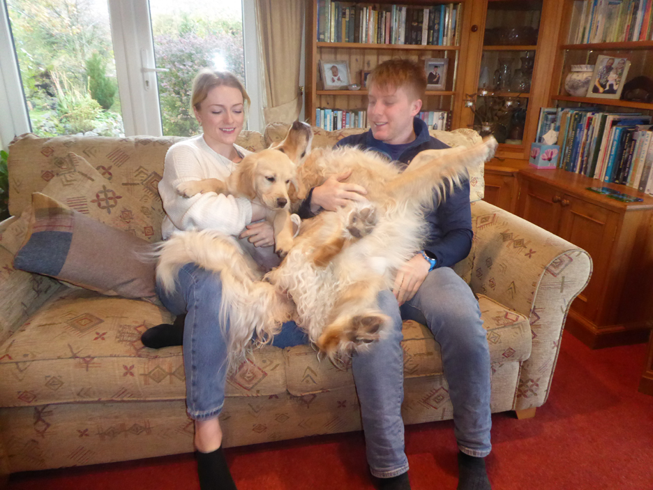
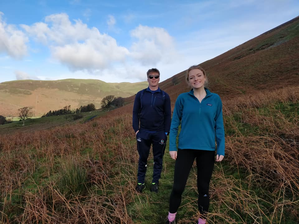
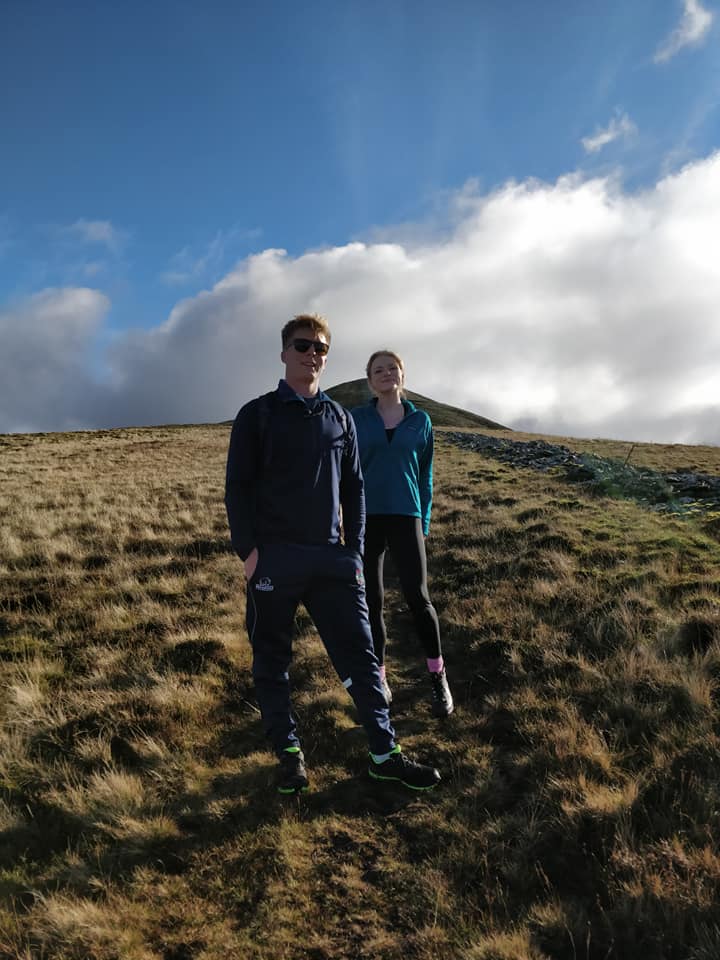
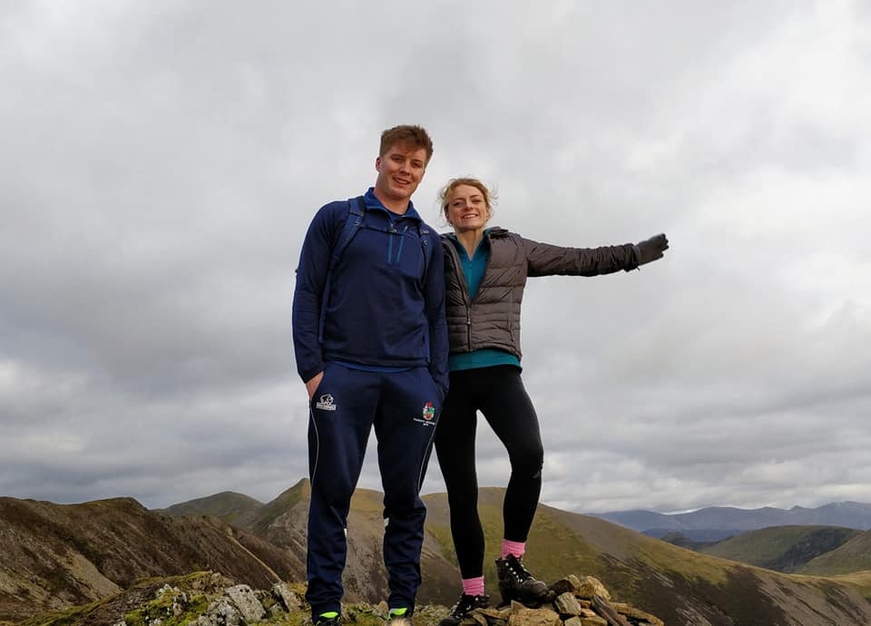
Monday evening our Grandson Jack and his girlfriend Catherine came to stay.
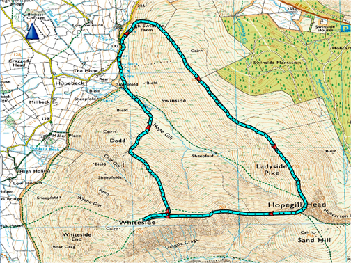
First a picture of them with the new puppy and an oversized lap dog. No chance of a second photo ! - - - o o o - - - Being another lovely day they also fancied getting out for a walk on the fells. Chance today for Dylan to do his mountain leader bit again as they set off to Hopegill Head. [ All these photos are Jenna's, first published on her Facebook page ]
Roadside parking just above the Hope Farm gate.
They left the road a little way further on from the parking spot and climbed towards the Swinside Ridge. This was Catherine and Jack as they start up the small diagonal path.
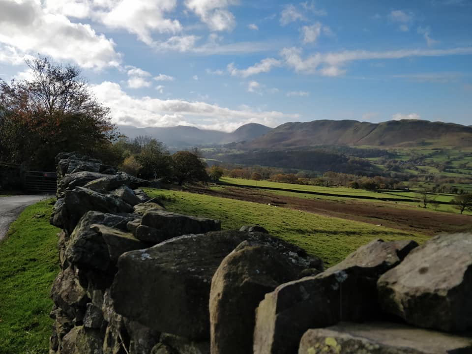
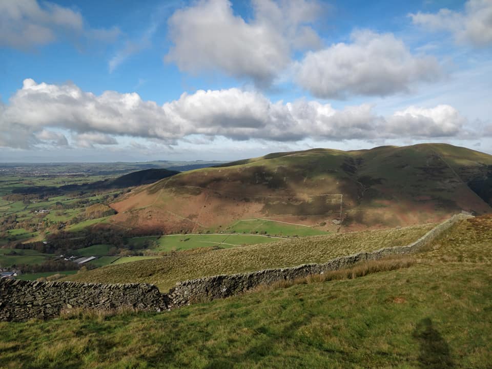
Views of the Vale of Lorton and the distant Loweswater Fells.
Looking across Lorton's Kirk Fell and the Whinlatter Pass road, north towards the Solway and Scotland.
On the ridge now and looking down on Low Fell and the greener moorland of Fellbarrow.
Following the old wall up . . . distant views of Scotland again, better on the day apparently, but this gives a good impression.
Photo-stop . . . or chance to catch their breath . . . as it is a gradual but continual climb.
The major cairn just before the summit of Ladyside. It is strategically placed so as to been on the skyline from the Whinlatter Road. The true summit is a few yards further on.
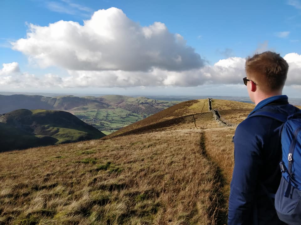
Dylan . . . mountain guide today.
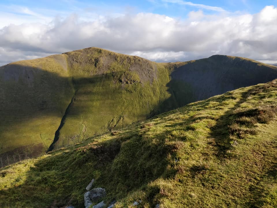
Across the way is Grisedale Pike and the Hobcarton Crags.
The view to the left included Skiddaw, Little Man and Blencathra summits. Lonscale Fell summit is just catching a bright patch of sunlight.
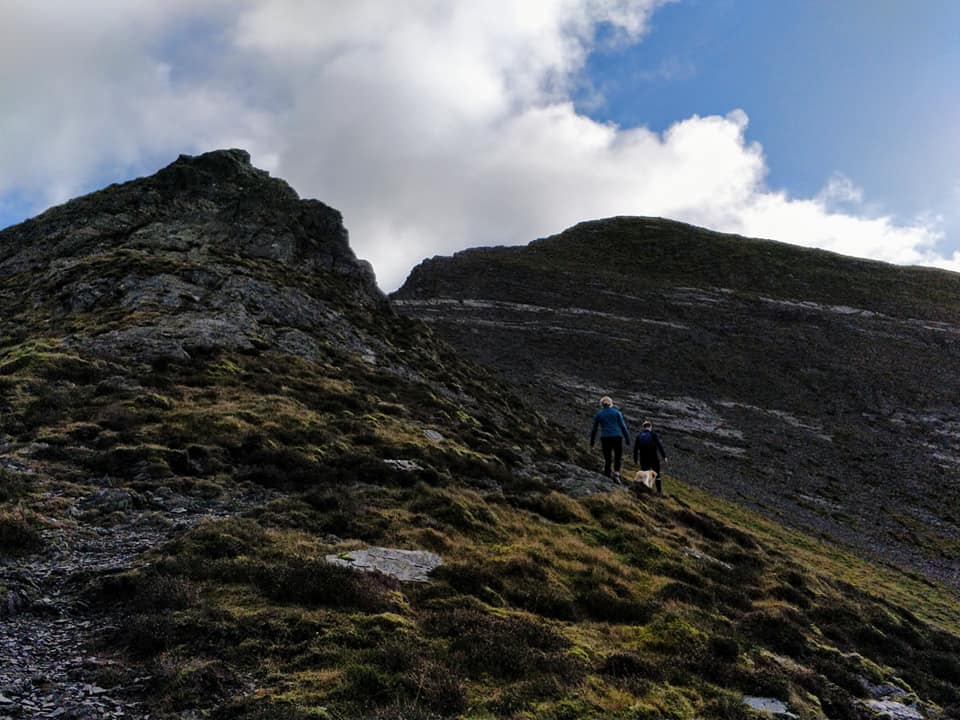
The dramatic view of the last part of the climb . . . the rock slabs leading up onto the summit.
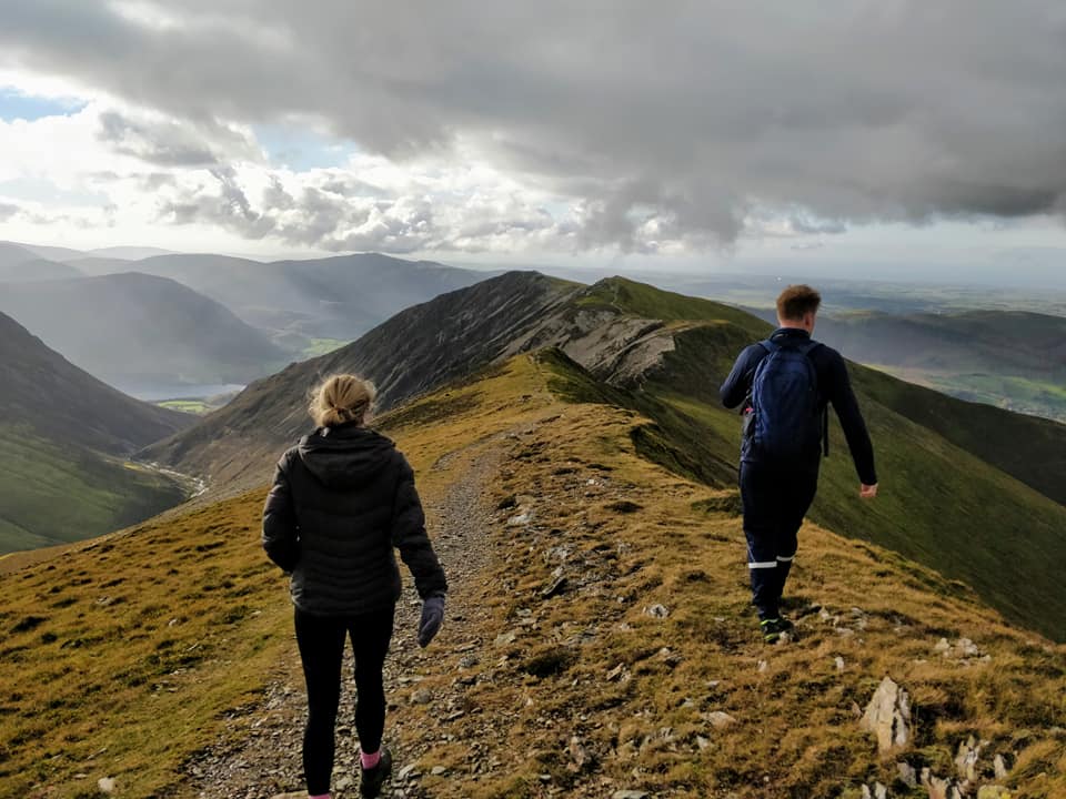
Summit bagged . . . it was time to head out along the Whiteside Ridge.
One of the best high-level ridges in the Lakes.
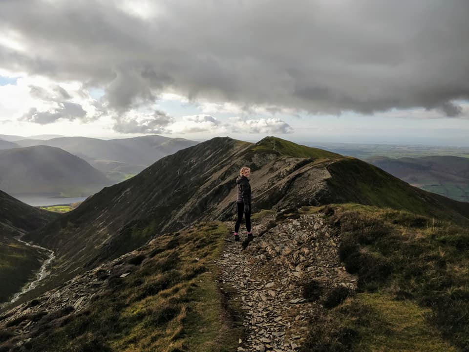
Whiteside Summit achieved.
Jack looking down on Crummock Water and Mellbreak. Below and just out of sight in this photo was the intermediate summit of Whin Ben that Jen and I reached yesterday.
Doubling back towards the end of the afternoon, down the side ridge that leads towards Whiteside's Dodd.
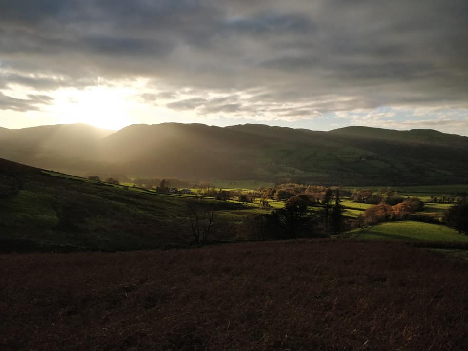
Sunburst over Low Fell at the end of the walk. - - - o o o - - - Technical note: Pictures taken with Jen's iPhone and first published on her Facebook page Resized in Photoshop, and built up on a Dreamweaver web builder. This site best viewed with . . . a sunny day on the high fells Go to Top . . . © RmH . . . Email me here Previous walk - 29th October - Jen's Gasgale and Whin Ben A previous time up here - 24th May 2008 Five go to Hopegill Head Next walk - 1st November - Dougal's first swim
|