![]()

Remember: Press F11 for a full
screen view of this page.
|
|
|
Remember: Press F11 for a full
screen view of this page. |
|
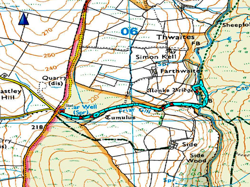
" A visit to Matty Benn's Bridge " Date & start time: Sunday 8th April, 2018. 3 pm start. ( NY 155 101) Location of Start : Roadside at the Haile turning on the Cold Fell Road,Cumbria, Uk. Places visited : Friar Gill track, River Calder, Monk's Bridge and back. Walk details : 1.75 miles, 250 feet of ascent, 1 hours 5 mins. Highest point : It's downhill all the way from the car park, uphill all the way back. Walked with : Ann and our dogs, Harry and Dylan. Weather : Overcast due to a mistiness on the western fells. Warm and dry. |
© Crown copyright. All rights reserved. Licence number PU 100034184. |
|
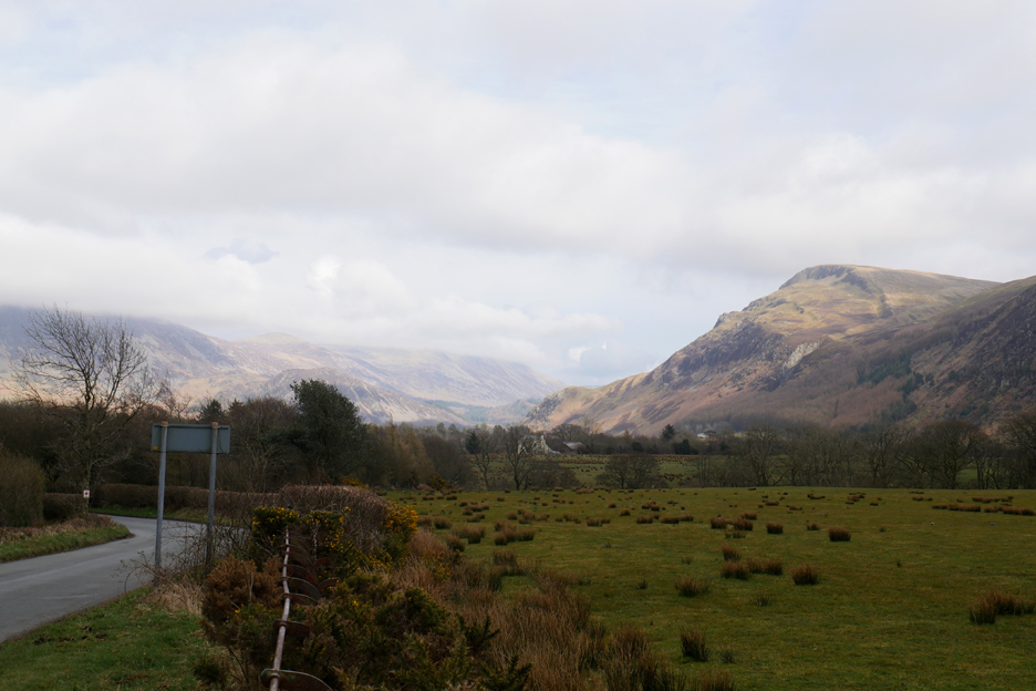
It was nice weather in Loweswater on Sunday but just a little further south it was quite not so clear for our walk. We drove via Ennerdale Bridge to Cold Fell and then enjoyed a walk to an ancient bridge over the River Calder. It is shown on the map as Monks Bridge, but we know it as "Matty Benn's".
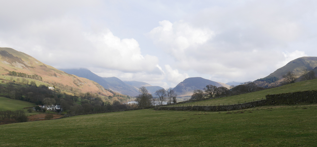
Not strictly in sequence but it gives you an idea what the weather was like in Loweswater today (Sunday). The cloud was down on the high fells but there was some nice sunshine about as we left for our walk.
By the time we had driven south for about twenty or so minutes we had gained a little height but entered a generally more misty weather system that was encroaching on the west coast landscape.
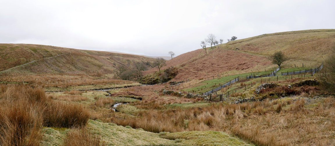
Still, it was basically a nice day, warm and dry and pleasant walking. Perhaps the poorer weather added to the slightly bland, post-winter appearance of these moorland fells.
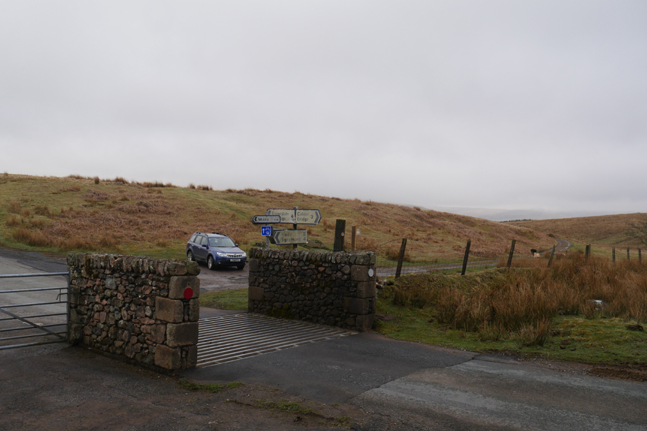
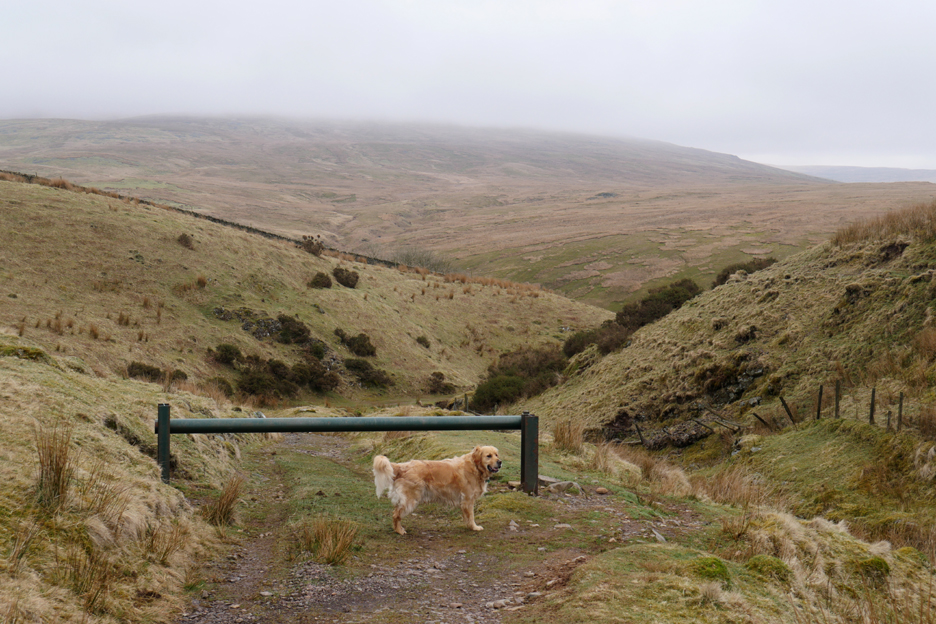
The track down to the valley behind Cold Fell has a barrier to discourage off-road driving, but I've a feeling that the farmer drives his quad bike around the side rather than stop to open the bar.
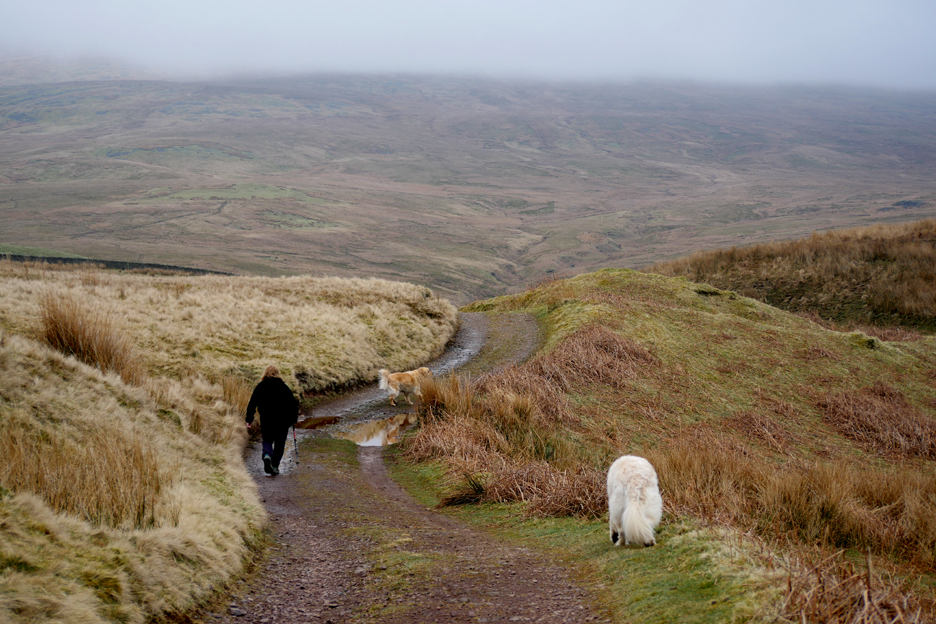
We follow Friar's Gill down passing a lovely, rather hidden mini-waterfall around the next bend.
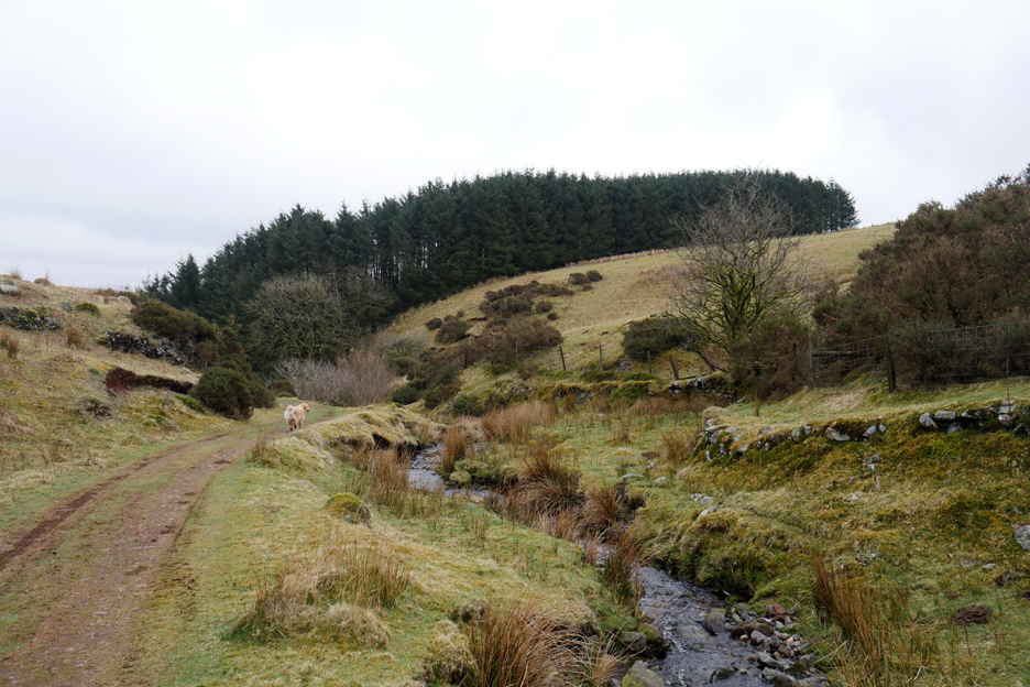
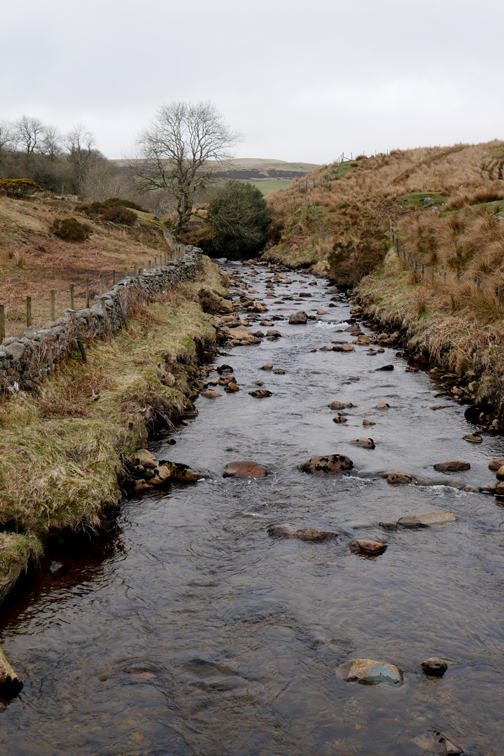
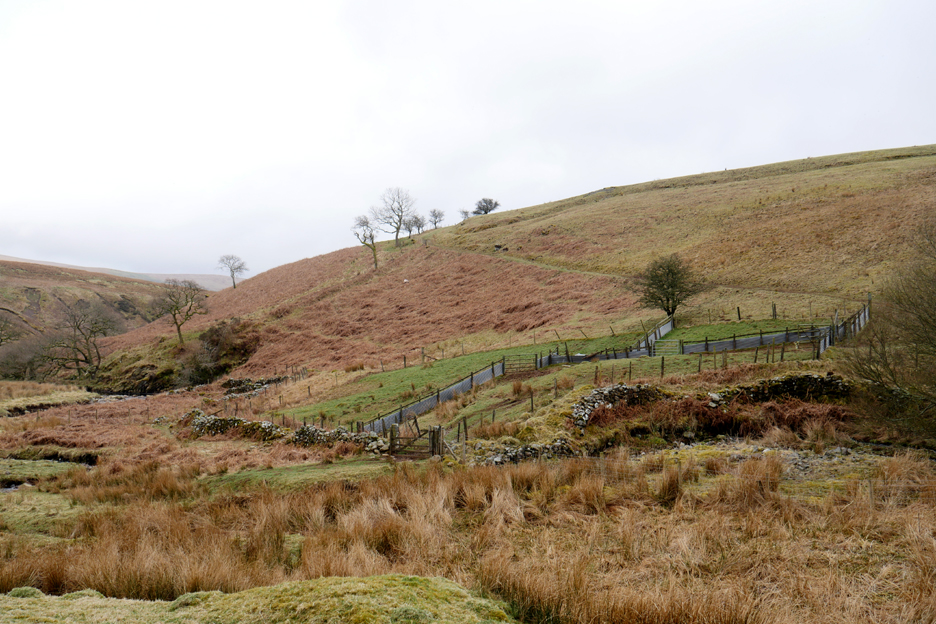
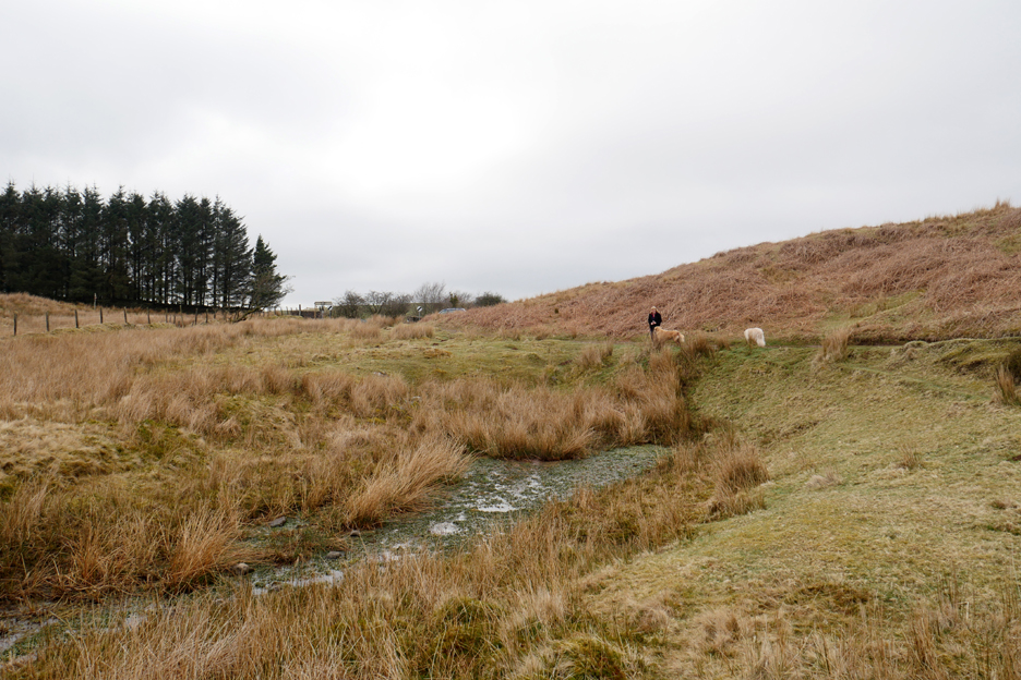
The track flattens out as it meets the River Calder, close to a sheepfold on the adjacent bank.
The main river is still reasonably small at this stage, having risen just two or three miles away beneath the slopes of Blakeley Raise, Whoap and the Lank Rigg fells.
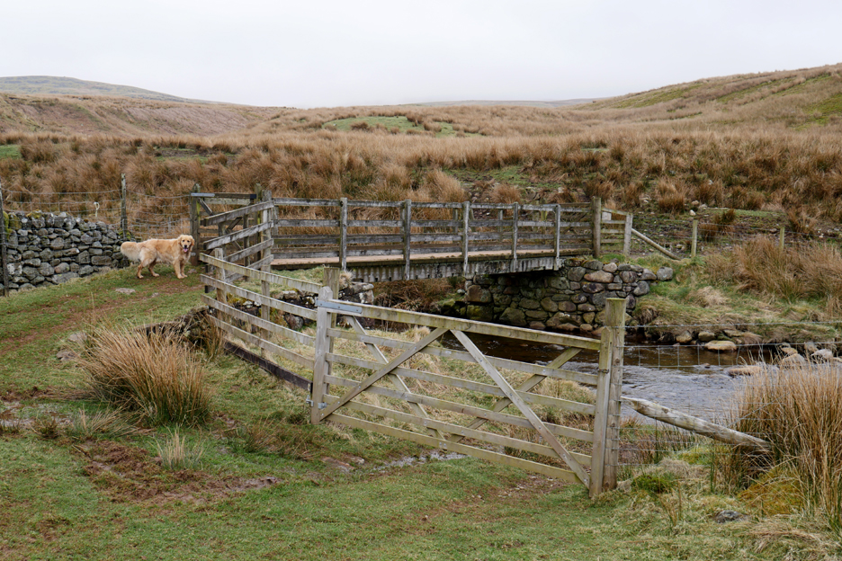
To reach it there is a rough track, some times a muddy grass bog, or as here a rocky stream crossing.
[ We notice with sadness that the stile which used to grace the wooden fence has been dismantled.]
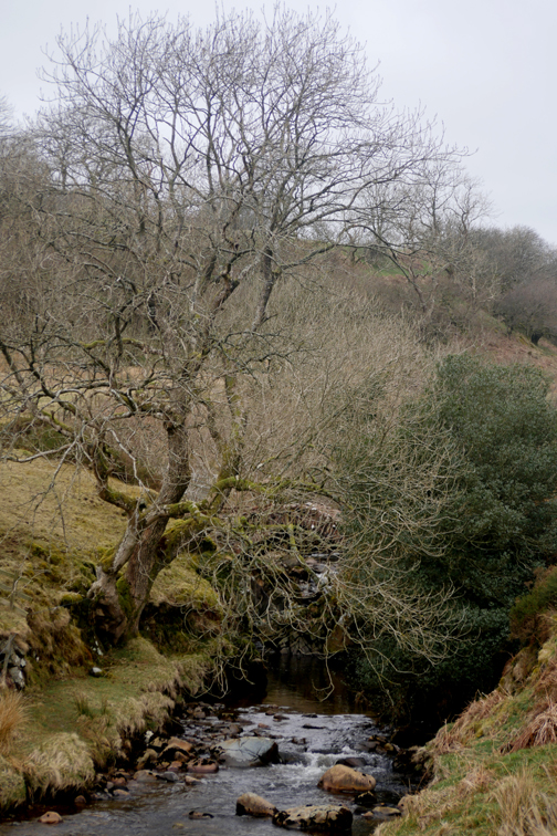
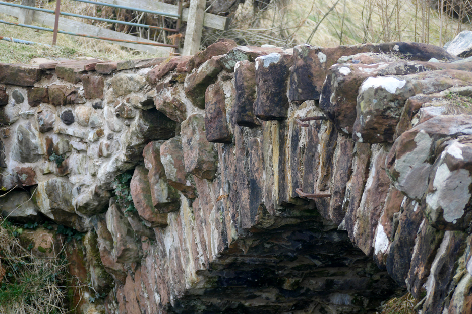
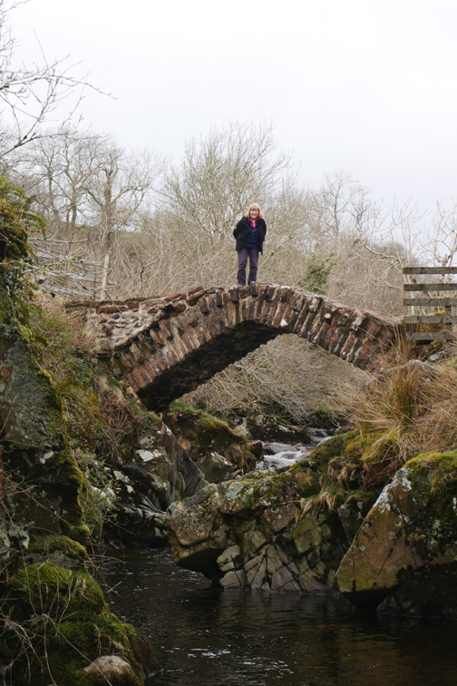
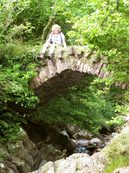
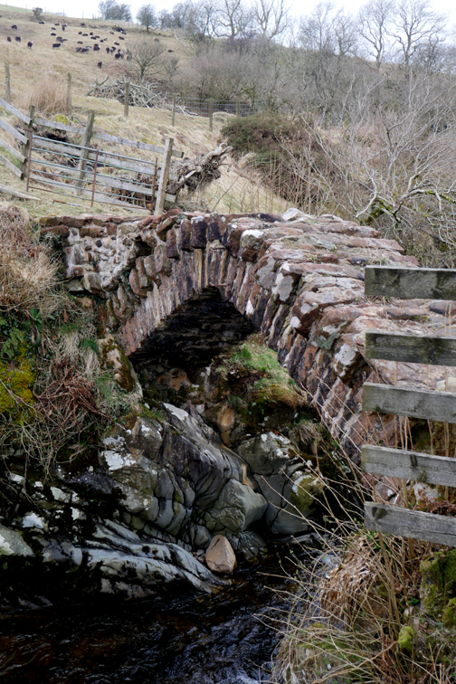
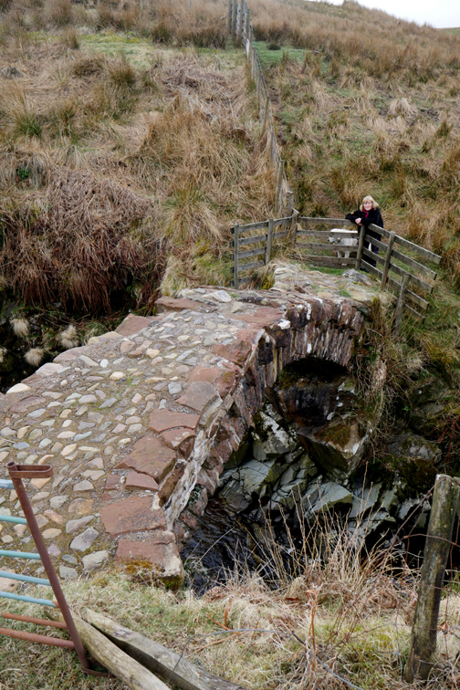
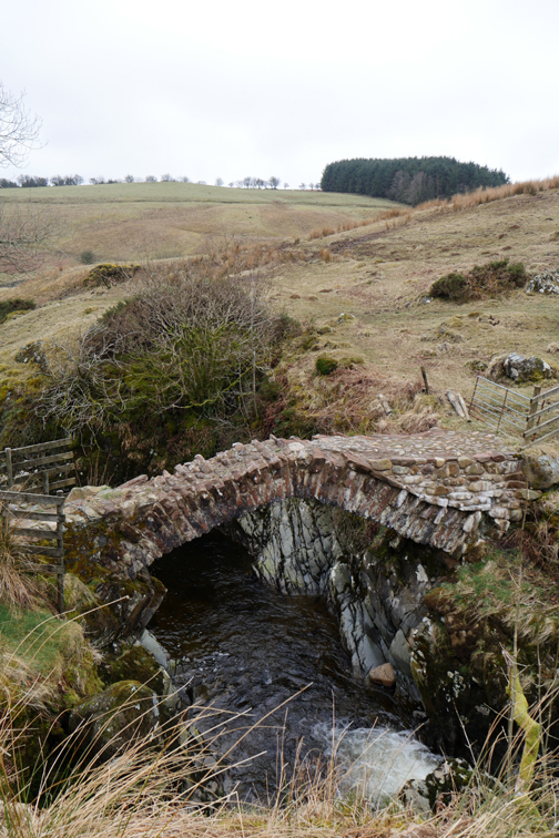
This is a classic packhorse bridge, the detail of which was exquisite to see. The lack of side parapets allowed wide, heavily laden pack horses to cross without having to provide a broader stone structure. Their loads could 'hang over the edge' as they made their way across this bridge, one the important trading routes of old. [ We are talking pre-Henry VIII and the dissolution of the Monasteries, some time before 1536 AD.]
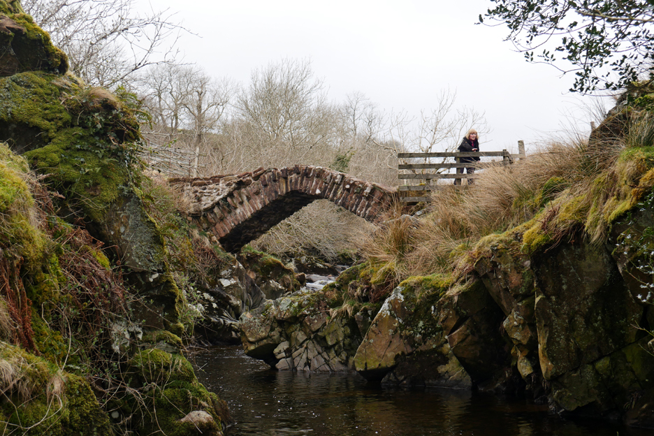
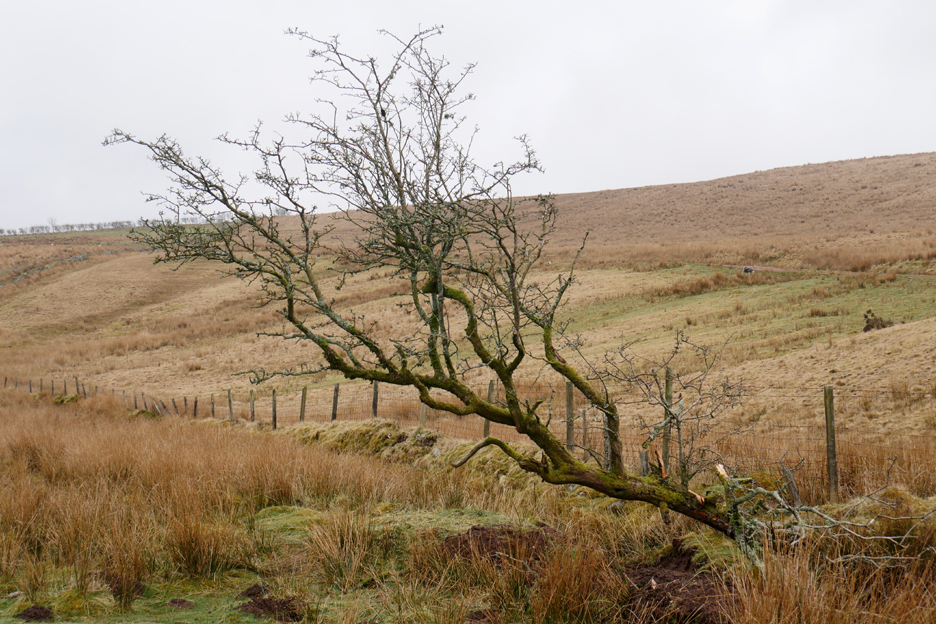
There has been a lot of clearance of vegetation since our last visit. Most of it has been deliberate, but at least one large tree on the other side has fallen through natural storm damage.
There's now a clear view of Matty Benn's Bridge from river level. The full history, or at least the legend about the name, is outlined on our previous postings, highlighted in the links below.
Looking at the structure, the bridge on the left hand side has also been re-pointed and the top re-surfaced . . . stabilised I think the expression is. The bridge is certainly a very simple but very well made structure that has stood the test of time. Good to see it is being looked after by someone.
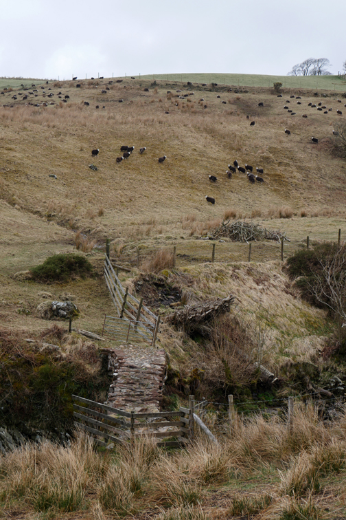
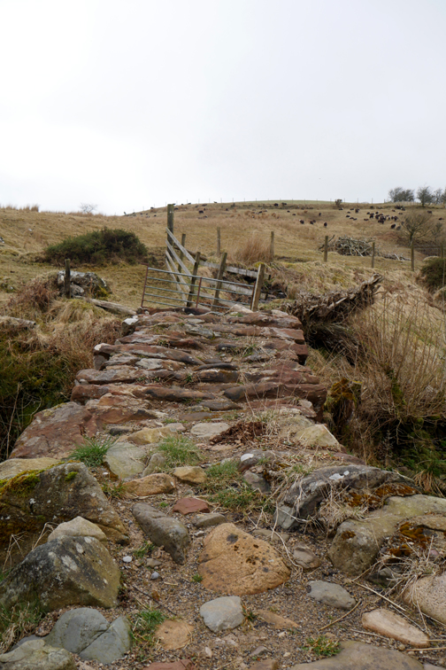
Time to be heading back. From the sheepfold, the map marks a footpath up and through the Side Farm buildings, but it is not a right of way until you get to the farm itself. We'll not try that route, we'll leave the farmer in peace and retrace our steps up the main track. - - - o o o - - Here's an April competition for you . . .
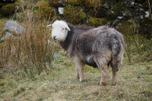
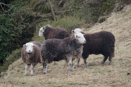
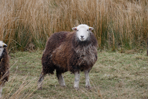
Spot the odd one out . . . answers written on the back of a £10 note please (or just simply by email) . . . no prizes !
Nearing the top of the track as we pass what is marked on the map as "Friar's Well". Here a reasonable stream issues from the spring, the surface of the water being covered in a water-cress type of plant. Friars Well, Friars Gill and Monk's Bridge . . . this area is full of historic, religious references.
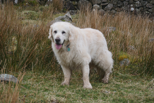
We'll pass on a climb to the top as the weather is not brilliant and Harry has had a long enough walk anyway.
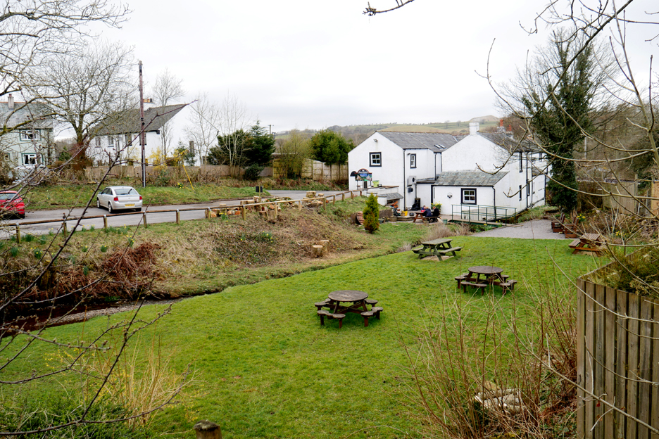
Over the mountain road and down into Ennerdale, Ennerdale Bridge to be precise. It's just gone five o'clock though it feels like mid-afternoon.
Too early to stop at the pub for a beer . . .
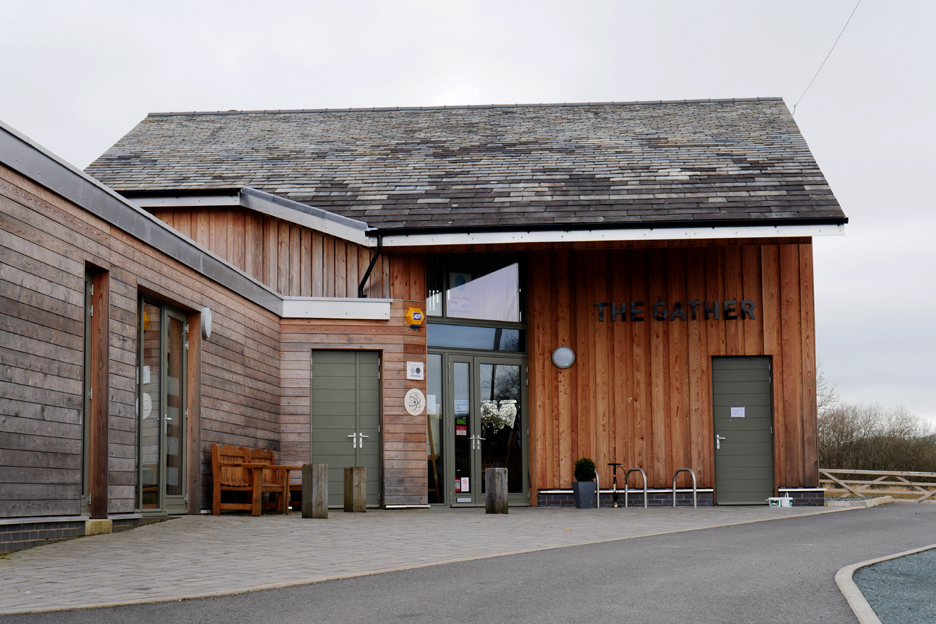
. . . but too late to stop at "The Gather" for tea and cake . . . as they have just closed.
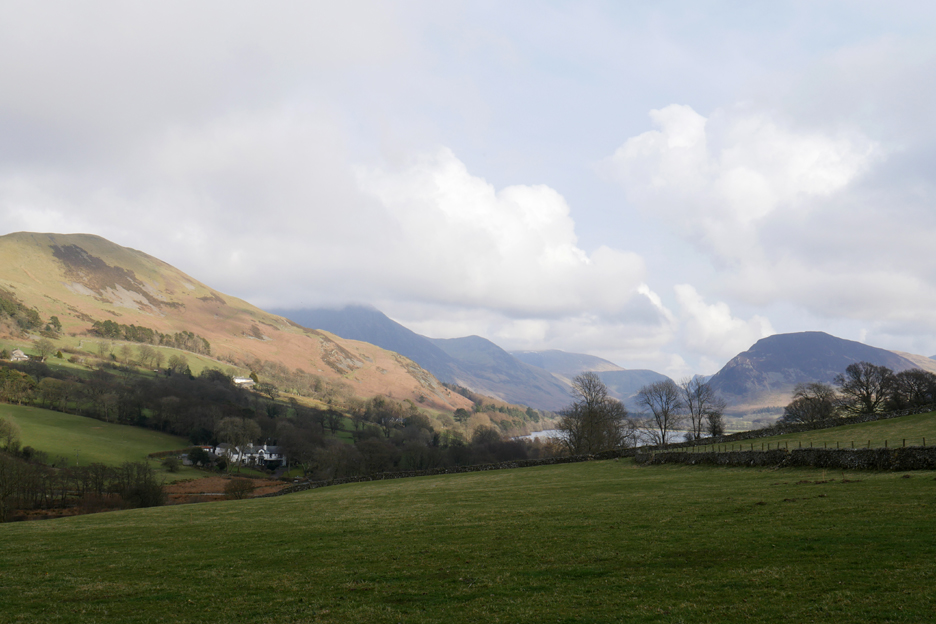
We'll have to drive back over to the next valley, Loweswater, and make our own instead.
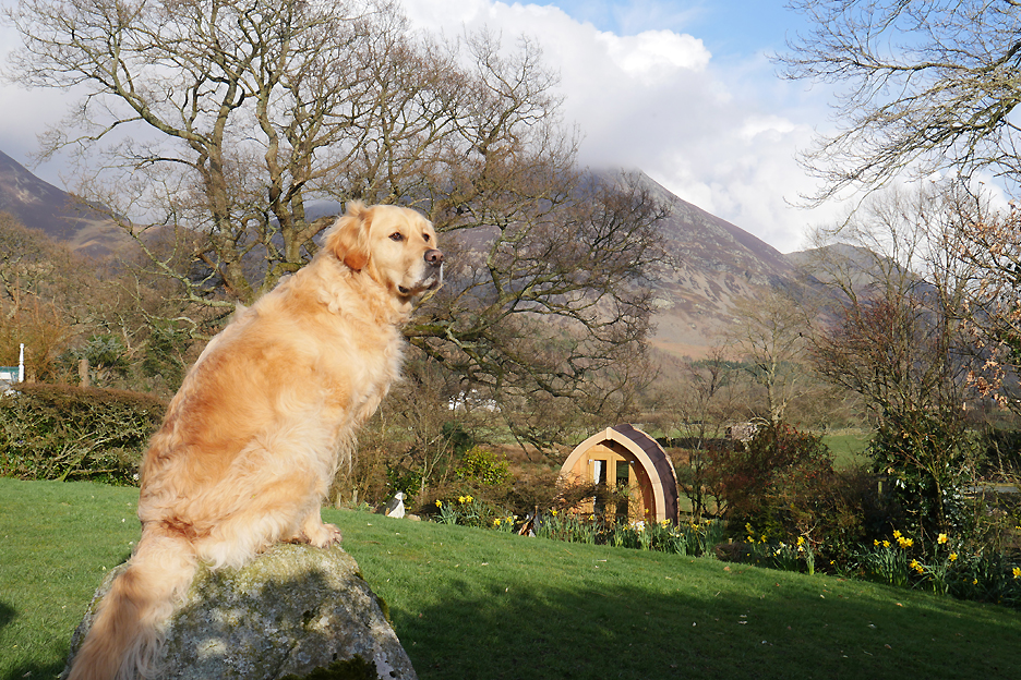
As we returned home the weather improved . . . and by the time refreshments were served the sun was shining brightly once more. Tea is on offer in our garden . . . but Dylan seems to be waiting on the cake option ! - - - o o o - - - |
Technical note: Pictures taken with my Panasonic Lumix Gx8 Camera. . Resized in Photoshop, and built up on a Dreamweaver web builder. This site best viewed with . . . full confidence in the bridge builders of old. Go to Top . . . © RmH . . . Email me here Previous walk - 5th April 2018 - Sunshine and Easter Snow A previous time up here - Sat 11th July 2009 Cold Fell and Matty Benn's Bridge and for more pictures of the bridge - 15th February 2012 Birds, Horses and Cold Fell Next walk - 9th April 2018 - A Misty Crummock Morning
|