![]()

Remember: Press F11 for a full
screen view of this page.
|
|
|
Remember: Press F11 for a full
screen view of this page. |
|
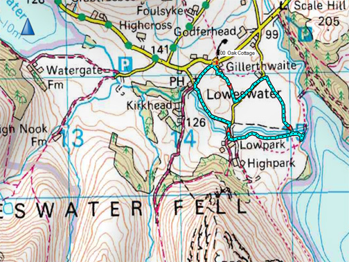
" Sideswiped by Storm Ophelia " Date & start time: Monday /Tuesday, 16th /17th October 2017. Location of Start : By the red phone box, Loweswater , Cumbria, Uk. ( NY 143 211 ) Places visited : Crummock Water and back via the Kirkstile. Walk details : 2 miles, negligible feet of ascent, about an hour. Highest point : Getting home safe and dry. Walked with : Ann and our dogs, Harry and Dylan. Weather : A strong southerly gale but the major rain came overnight. |
© Crown copyright. All rights reserved. Licence number PU 100034184. |
|
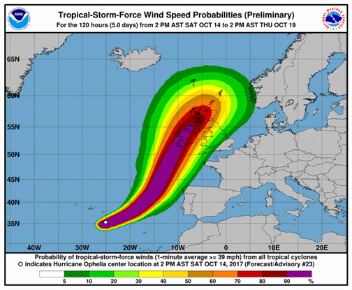
On Monday there were weather warnings out for Storm Ophelia, an ex-hurricane that was heading towards Britain and Ireland. How much we would be affected by the wind and rain would depend on its course.
It started late afternoon and lasted through the night. Fortunately for Cumbria (but not for Ireland) it stayed out to the west and although we were blown about by the storm, I think we avoided the worst of the weather.
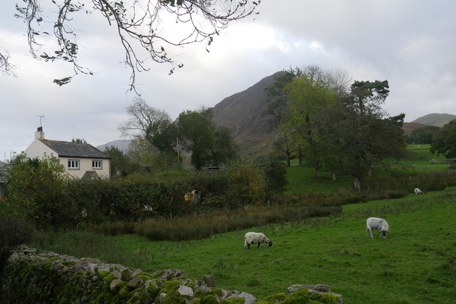
On the Monday afternoon, as it started to kick in, Ann and I took both dogs on a walk down to the lake. The sheep next door were feeding away, oblivious of the high tech weather forecast advising people to find somewhere warm and dry for later.
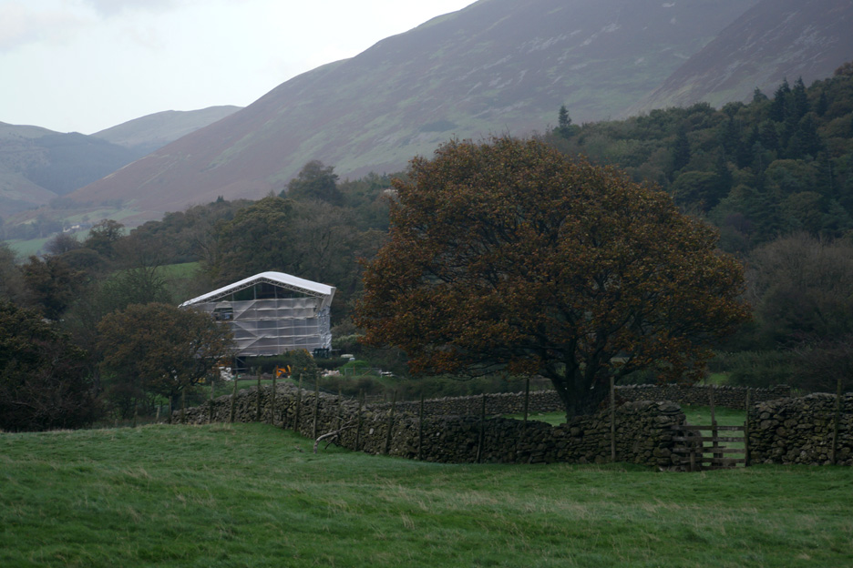
Looking across the first field behind Gillerthwaite. Renovations are continuing on our new neighbour's house.
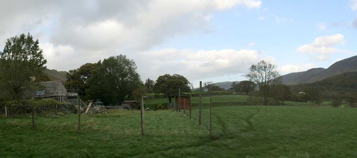
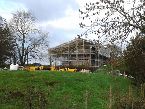
Grasmoor House is also undergoing renovation (no, it's not a new pop concert stage) and is covered in scaffolding while they replace the roof. I wonder how it will get on in the forthcoming bad weather ?
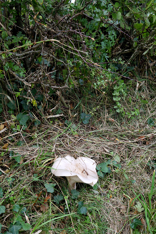
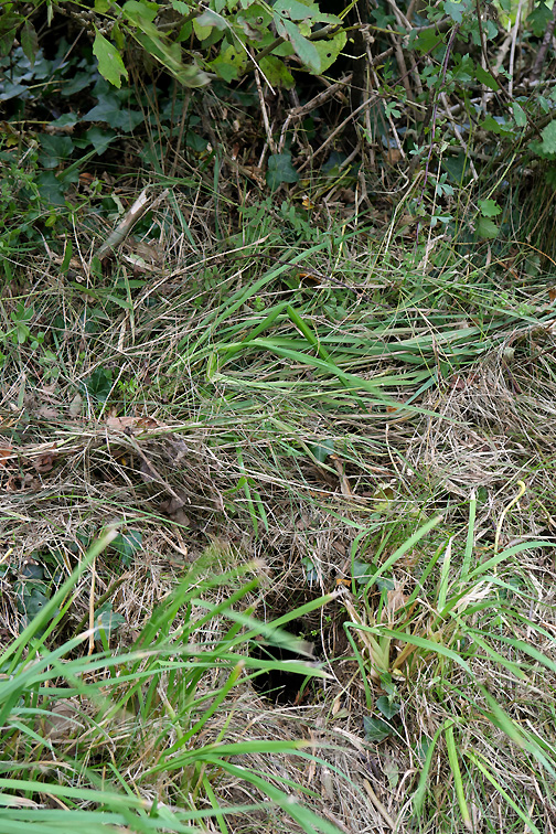
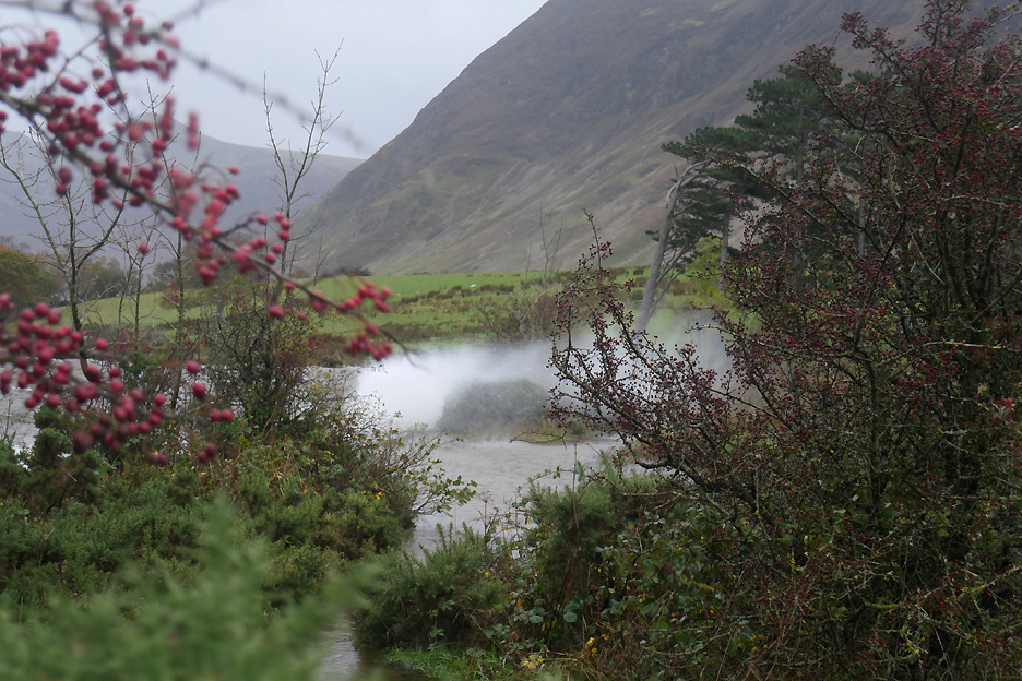
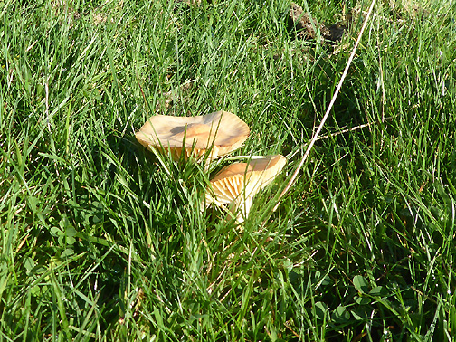
Meanwhile back on the bottom road . . . there's items of interest in the hedgerows . . .
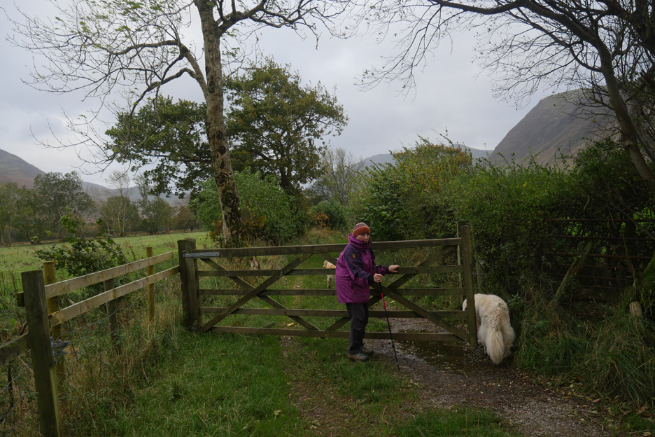
Well wrapped up against the wind, Ann starts off down the gated road.
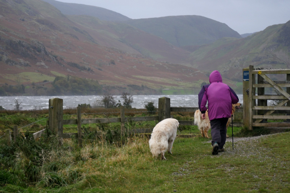
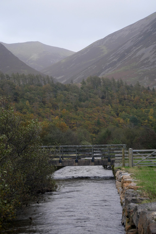
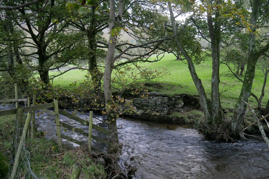
We reach the bridge over the last section of Church Beck. Ahead is Crummock Water, looking cold in this damp and windy autumnal weather.
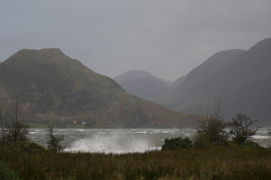
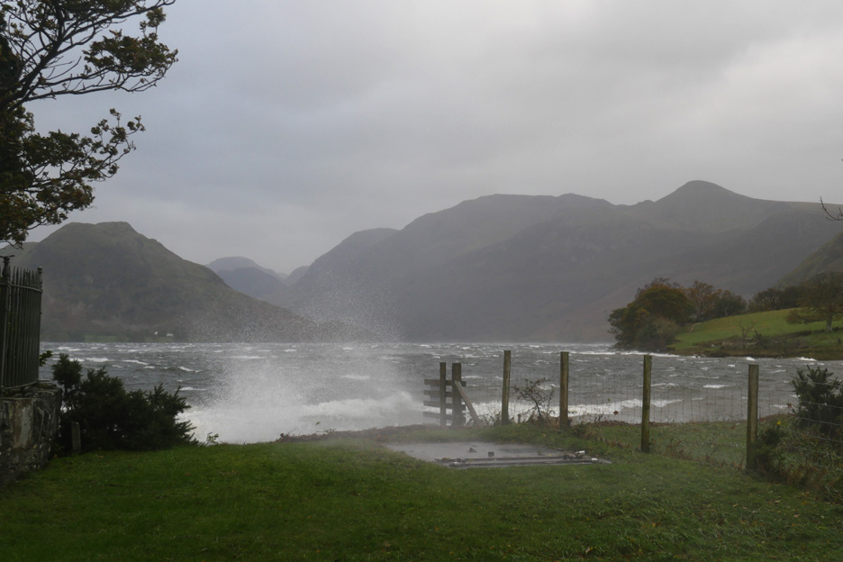
That wind is whipping up the waves on the lake . . . which crash against the wall by the shore.
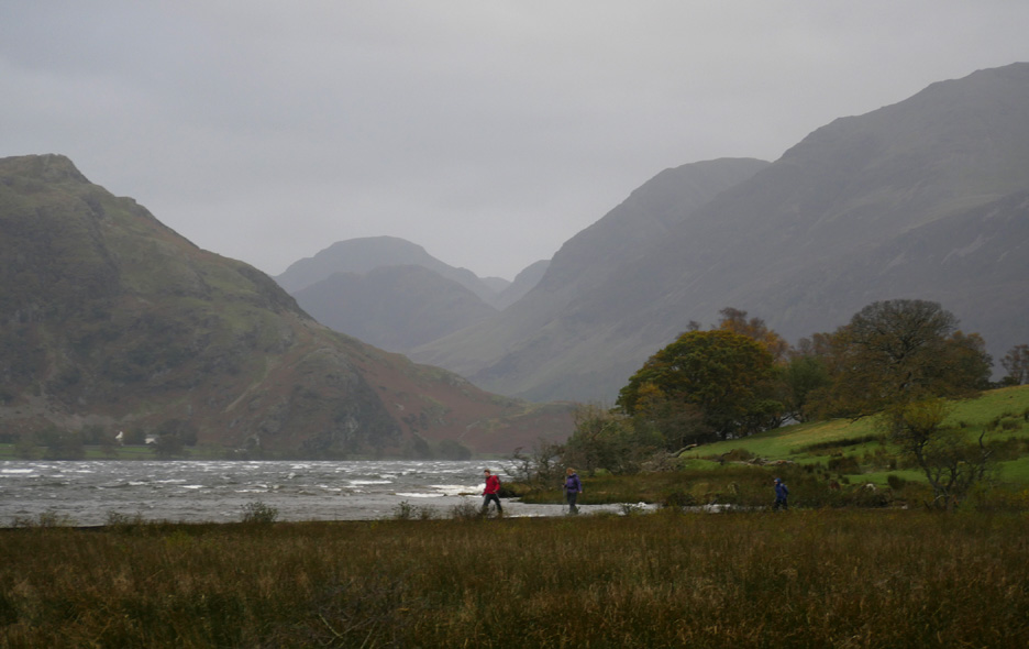
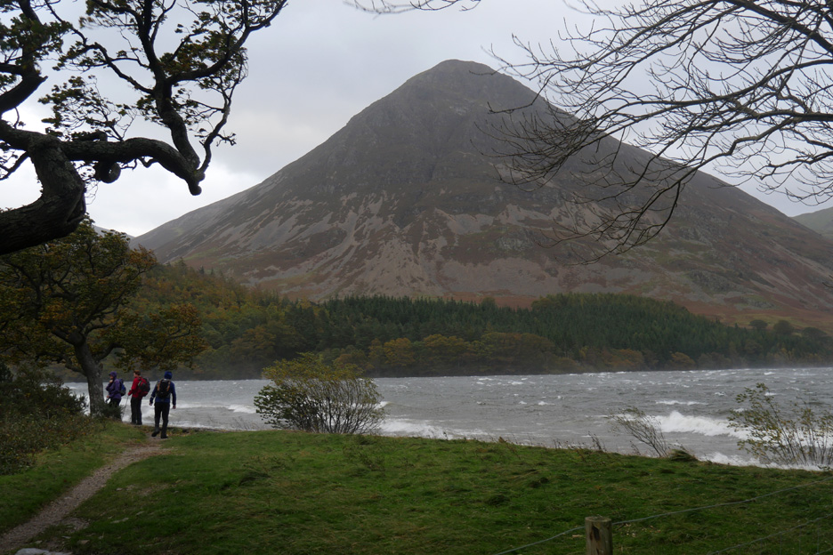
A group of walkers negotiate the low level footpath around the lake . . . high up on the fells was no place to be today. Hold your cursor over the picture to see how they got on.
By the Pump House the waves were blown across my path too . . . a quick photo . . . then turn to protect camera ! Again hold your cursor over the picture to experience a little of the effect.
After the briefest of chats about their walk they were on their way only to return two minutes later as their onward path was blocked by water. We advised them on the route back up the gated road and over to Scale Bridge, thus avoiding them having to get out their map to navigate!
Shall we also brave the lakeside path and make a it round walk today ? Perhaps not, as the wind seems to be getting worse.
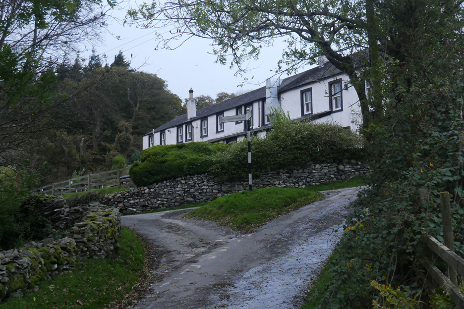
Back via the Negative Signpost . . . The roads are basically dry apart from some water run-off. Despite the wind and spray it has been a rain free walk this afternoon.
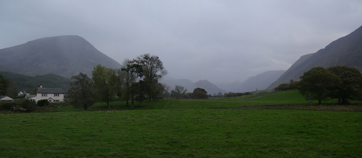
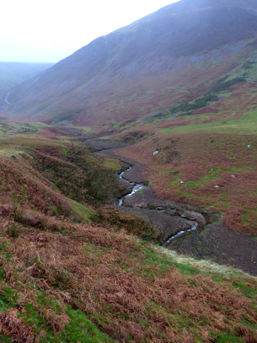
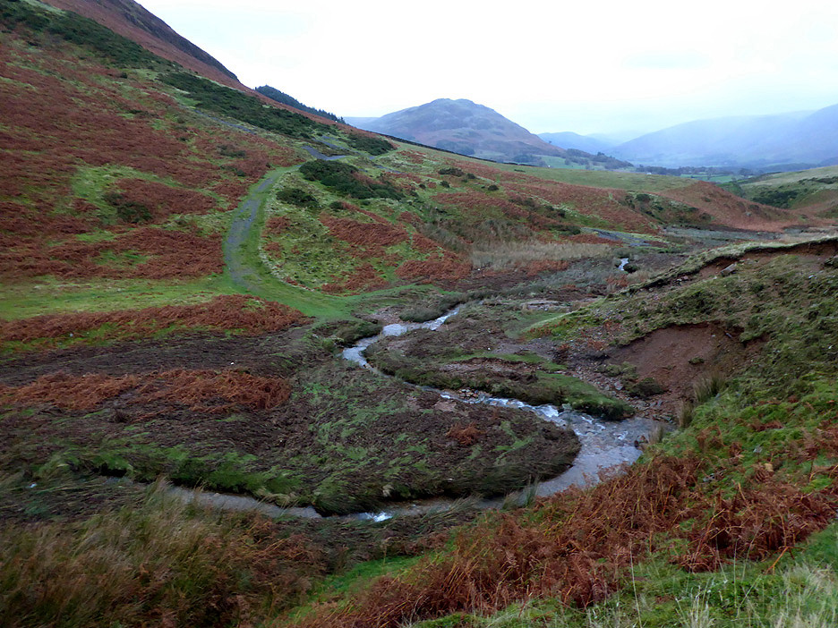
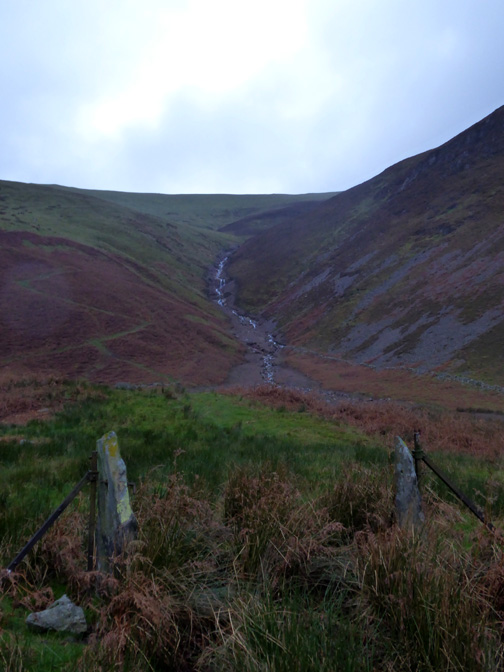
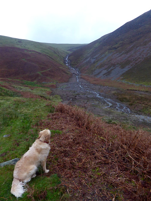
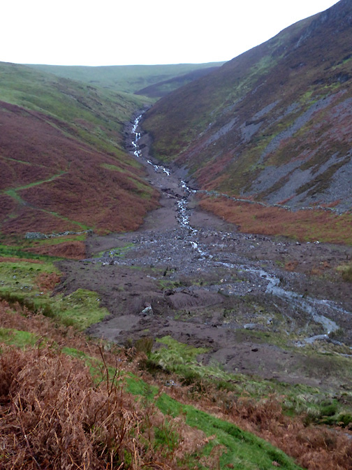
I think we have timed out return home perfectly . . . there's a big change in weather on the way down from the Buttermere Valley. Time for tea I think ! - - - o o o - - - A day or so later I had heard from a neighbour that the footbridge above High Nook had gone missing in the storm so Dylan and I took a walk up towards the top of the High Nook valley to see for ourselves.
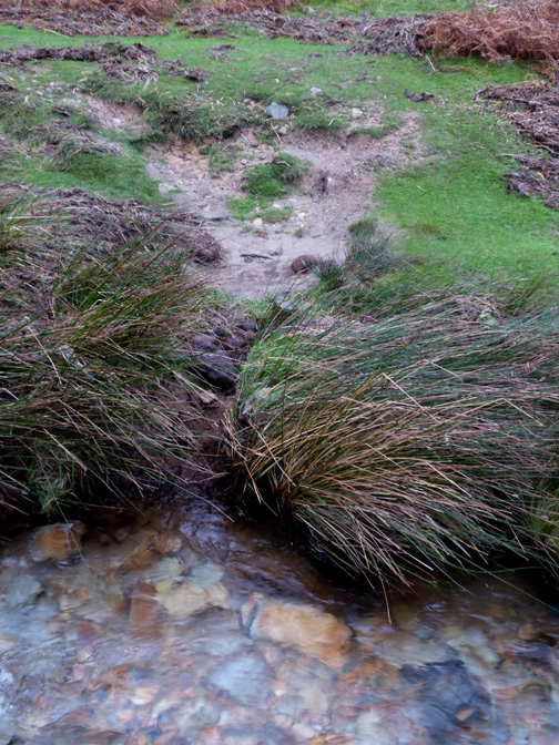
Looking down on the old river crossing . . . now just the ford remains.
- - - o o o - - -
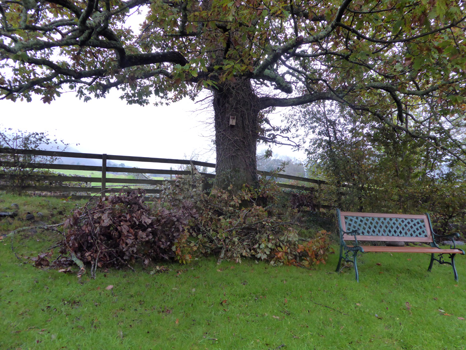
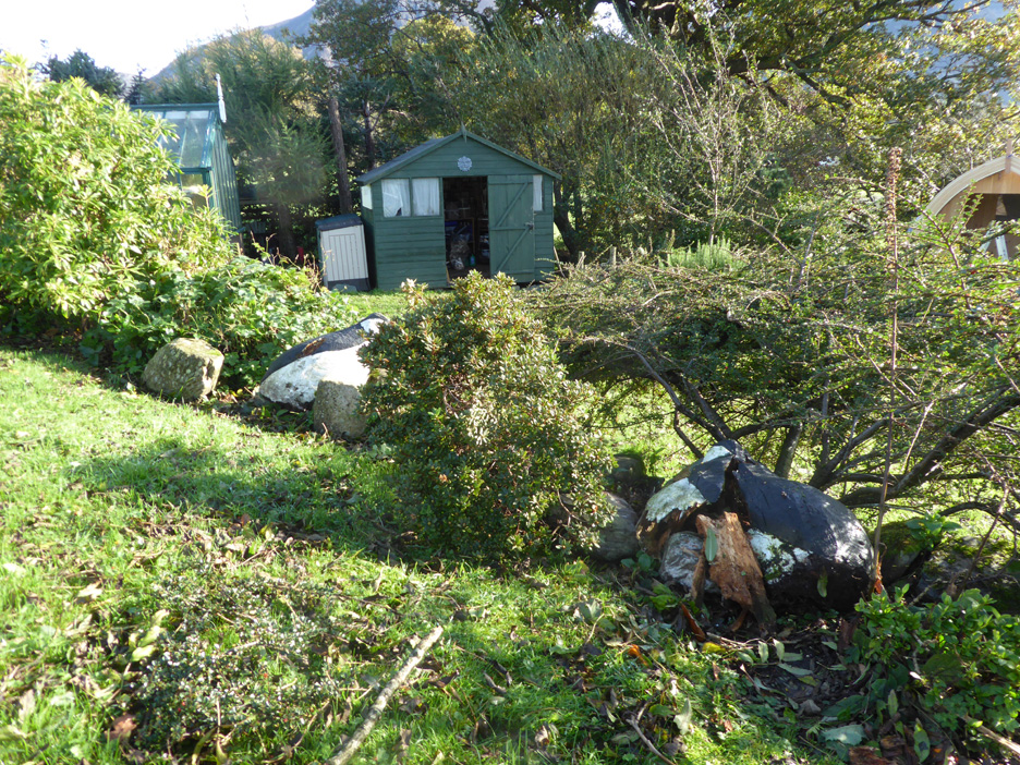
Back home in our garden I clear up a few small branches which have broken off the trees.
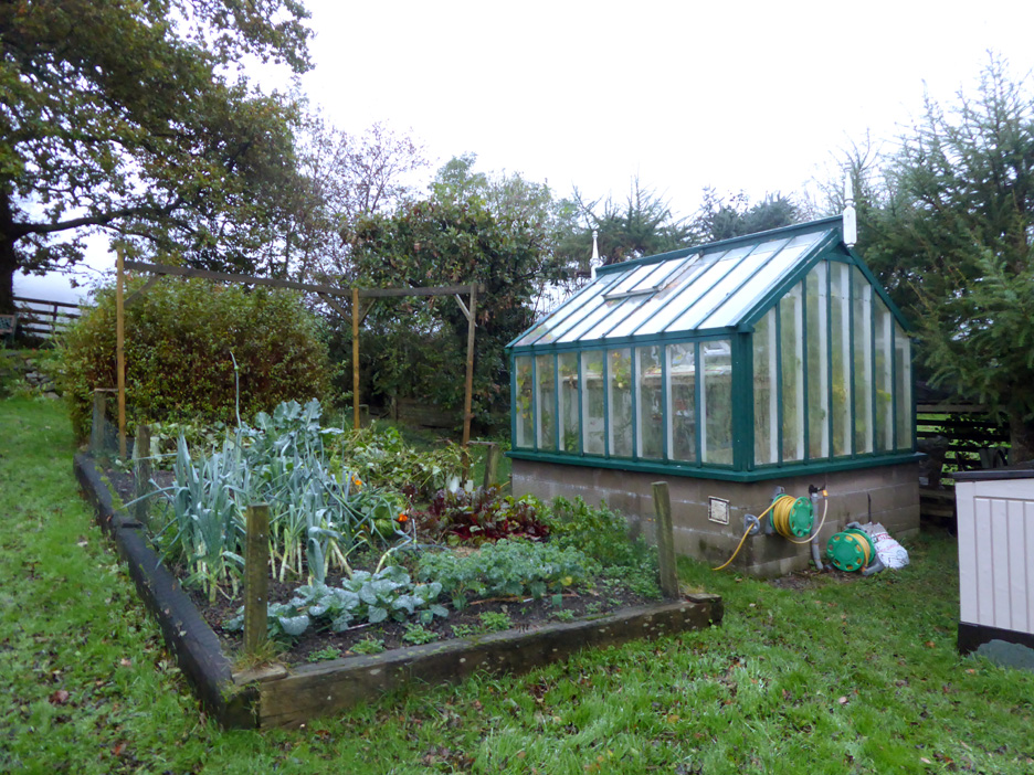
The beans have finished cropping now . . . so I had cut them down to avoid the bean poles being damaged. There's a crop of winter kale, chard and leeks on the way.
Our puffins in the garden have suffered badly, one appears to be terminally damaged. - - - o o o - - -
- - - o o o - - -
|
Technical note: Pictures taken with either Ann's Panasonic Lumix TZ60, or my Panasonic Lumix Gx8 Camera. Resized in Photoshop, and built up on a Dreamweaver web builder. This site best viewed with . . . a regular supply of electricity ! Go to Top . . . © RmH . . . Email me here Previous walks - 1st October 2017 - Rhossili and Gower A previous time up here (shows the old foot bridge) - 9th January 2011 High Nook Tarn - Loweswater Next event - 25th October 2017 - Trees to a Pod in a week
|