![]()

Remember: Press F11 for a full
screen view of this page.
|
|
|
Remember: Press F11 for a full
screen view of this page. |
|
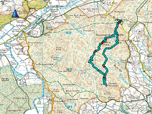
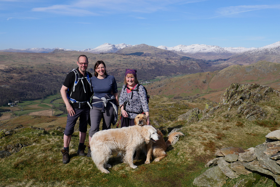
" Stickle Pike and Great Stickle " Date & start time: Saturday 25th March 2017, 1.30pm start. Location of Start : The Kiln Bank road above Duddon, South Cumbria, Uk ( SD 215 933 ) Places visited : Stickle Pike & Great Stickle (both AW outliers), out and back via Stickle Tarn Walk details : 3.7 miles, 1000 ft of ascent, 2 hours 55 mins. Highest point : Stickle Pike, 1219 ft - 375 m. Walked with : Ann and our dogs, Harry and Dylan. Weather : Sunshine and blue skies, slightly overcast at the end of the afternoon. |
© Crown copyright. All rights reserved. Licence number PU 100034184. |
|
The forecasted sunshine over the fells was almost guaranteed from the weather charts so we pack some lunch into a small rucksack and headed down to the south western corner of the Cumbrian Lakes, to the Dunnerdale fells of Stickle Pike and Great Stickle. They sit between the high fells of Coniston Old Man and the rounded Black Combe summit that borders on the Irish Sea. It's an " apply the suncream before we start - occasion " for the first time this year.
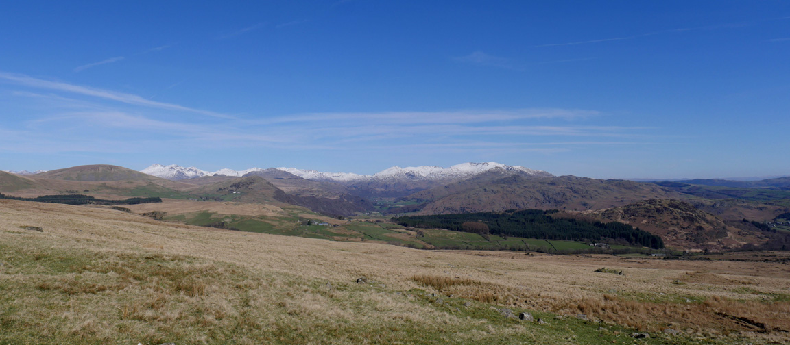
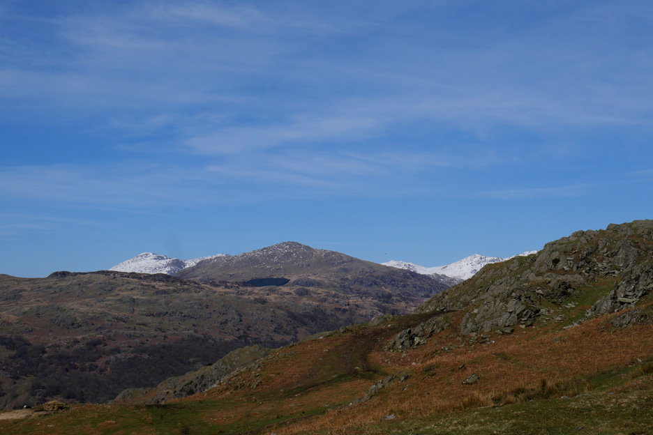
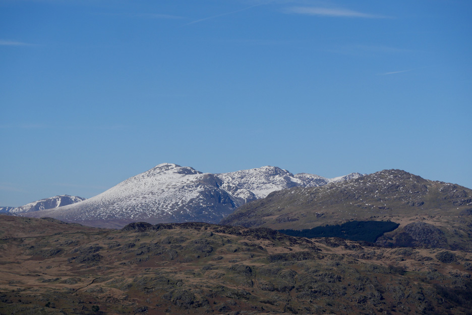
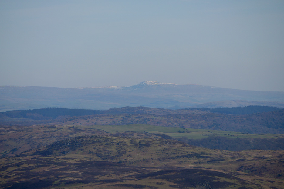
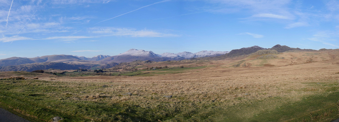
We travelled down the coast road of the western Lake District. Every time we had a view inland we could see the snow on the high fells. This was the view as we drove over the Corney Fell road in order to reach the Duddon Valley. Our objects of desire today are the grassy fells below the snow topped Coniston Old Man and above the forestry plantation on the right of this picture.
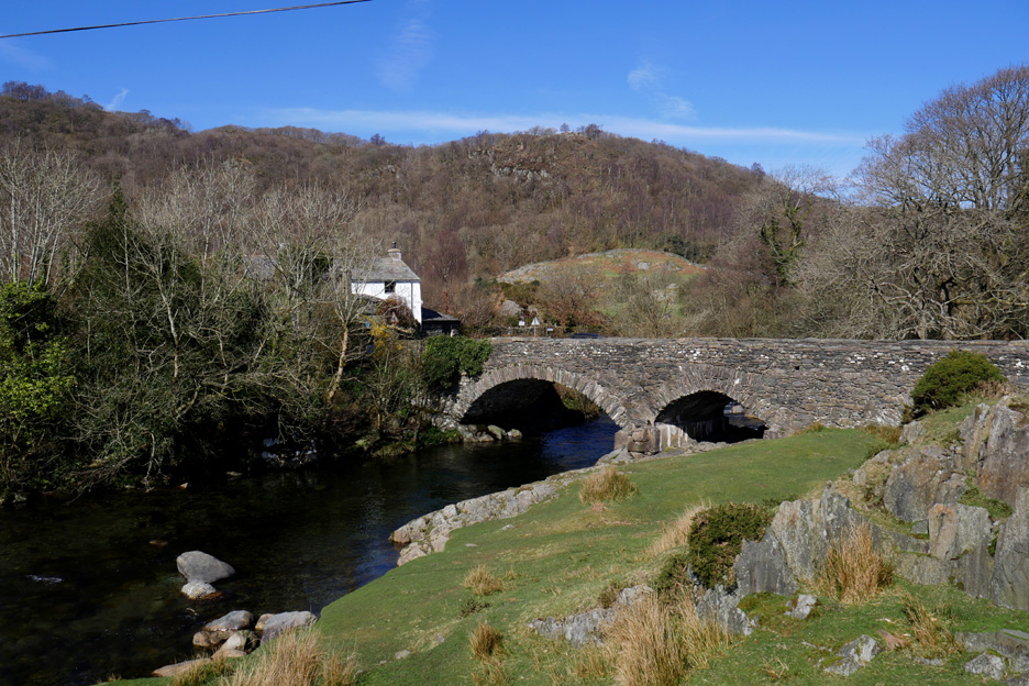
Our road route took us through the village of Ulpha where this classic stone-arched bridge near Whistling Green Farm just called for a photo stop.
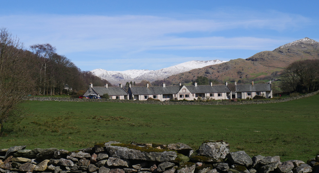
Surprise . . . a matching set of communal looking housing in a rural setting. The answer is that they were built as "almshouses" for the parish . . . the Victorian answer to low cost homes for the elderly or the poor. They feature on the 1:25k map and qualify for a specific mention as a land feature.
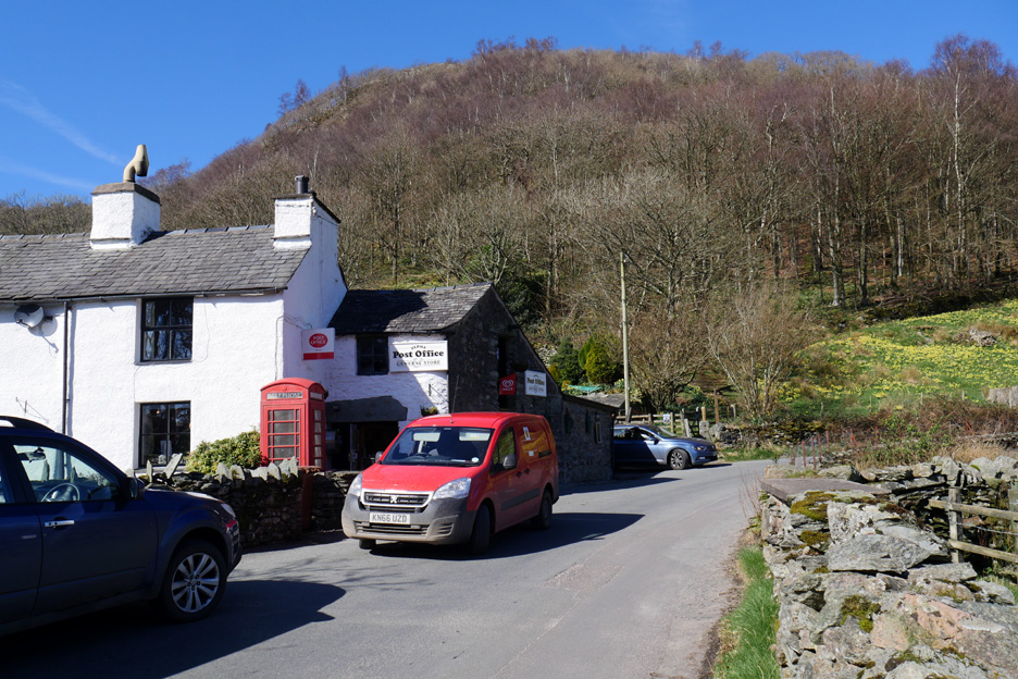
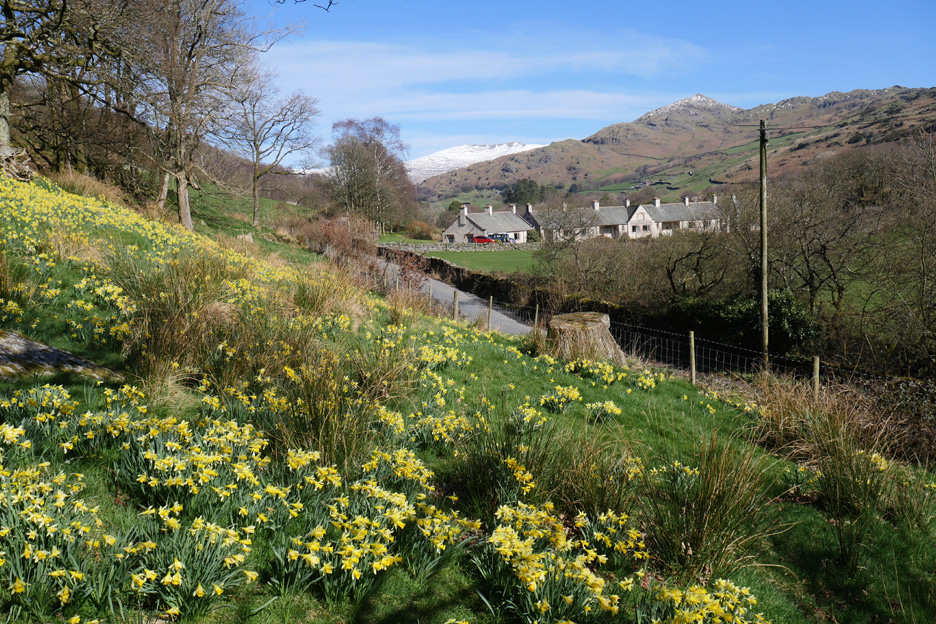
We stop at the Post Office just as the postman called . . . it seemed a fine local store and focal point for the village. Behind it you may notice the field of yellow spring flowers.
The flowers were lovely, classic wild daffodils. In fact the whole of the woodland from here up to the Kiln Bank turn was dappled with flowers.
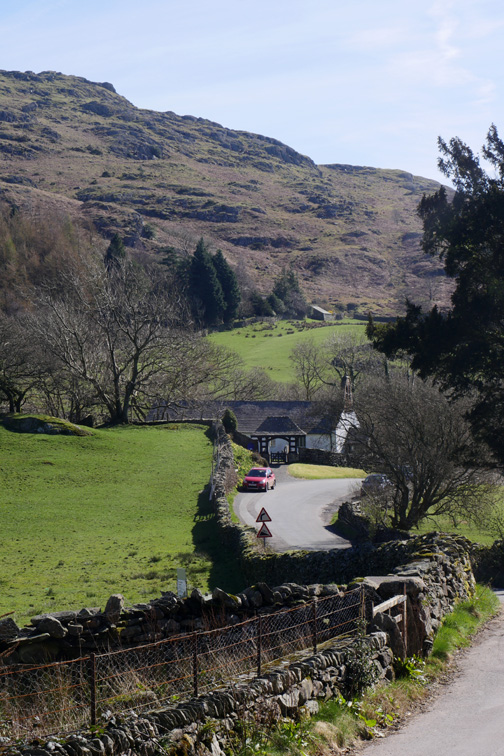
The road climbs out of the Duddon Valley after crossing Hall Bridge. Kiln Bank Farm, which gives its name to this road, is hidden below us on this side of the valley.
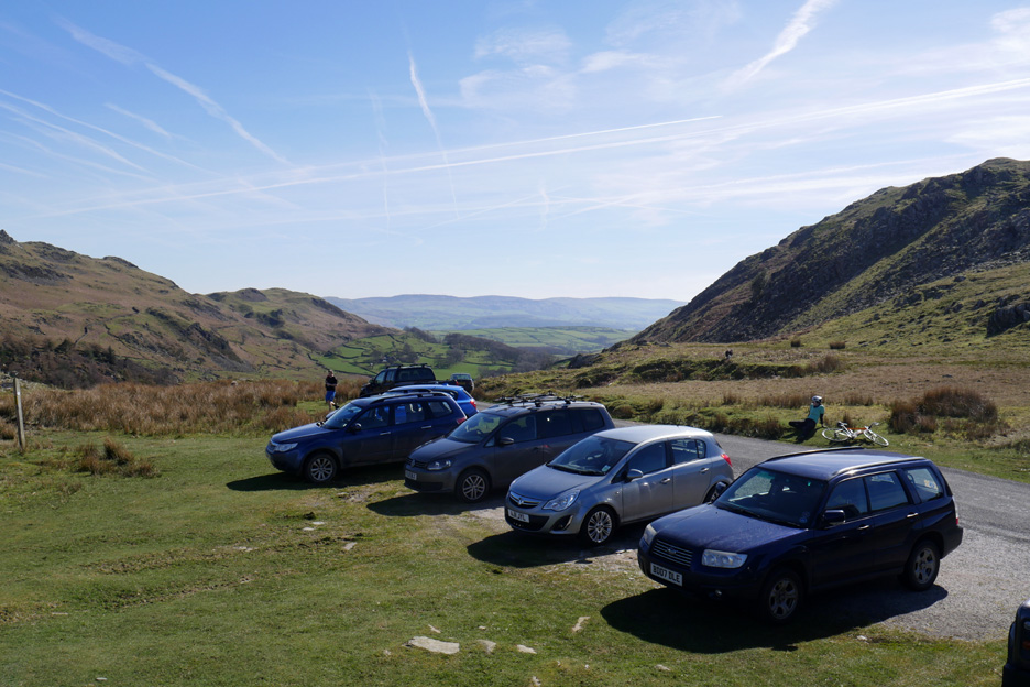
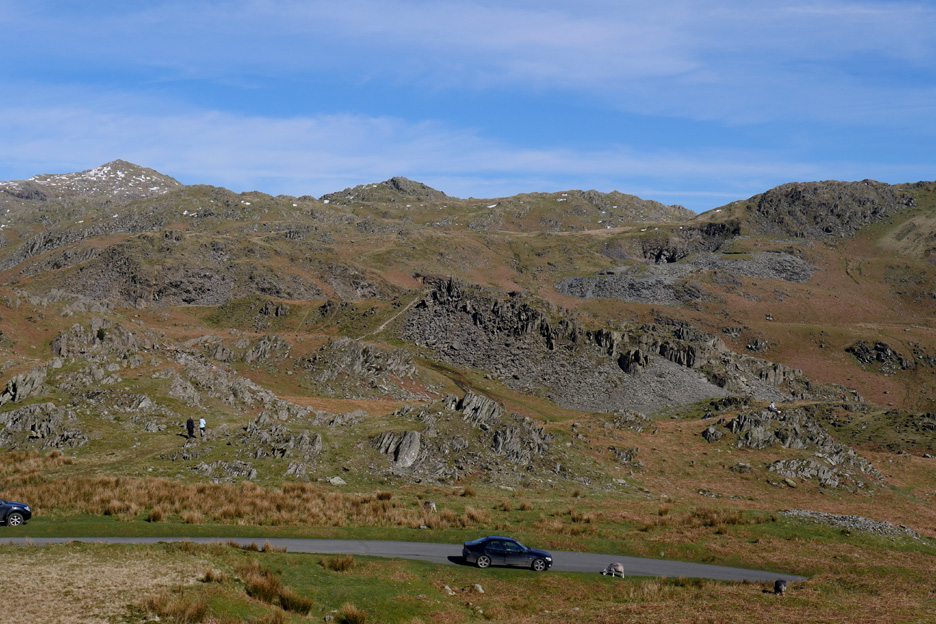
Parking for ten or so on the roadside at the top of the pass. It's a good spot to stop and rest if you've just cycled up the steep hill.
It's 1.15 pm so we're feeling peckish. We don't want lunch before the climb to Stickle Pike but decide to break out the coffee and biscuits as a late "elevenses".
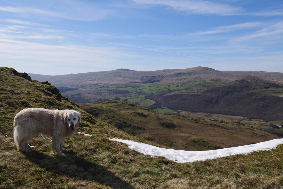
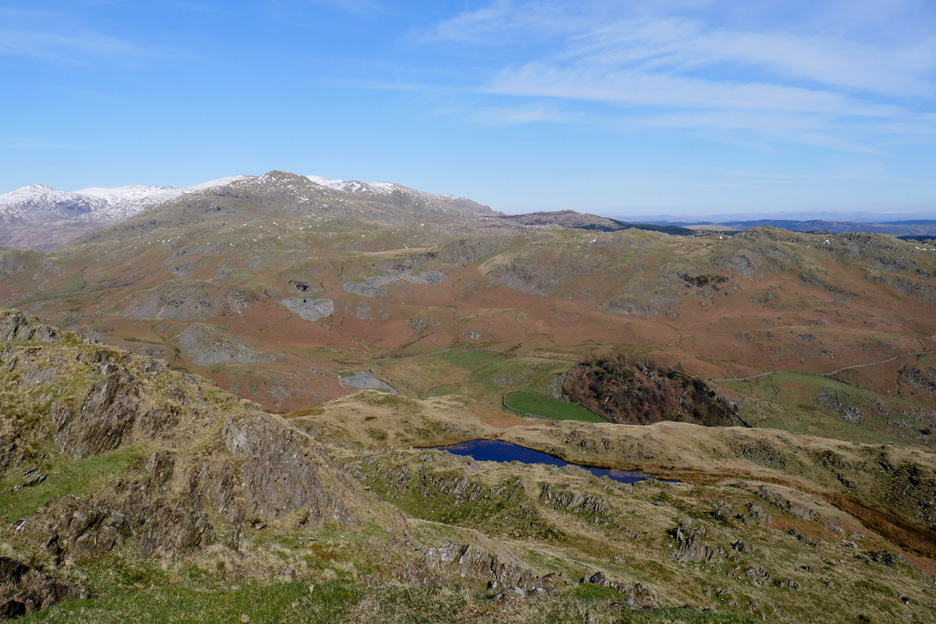
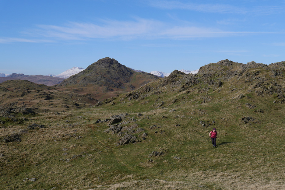
Enjoying the view of the Scafells to the left and Esk Pike/Bowfell to the right, with the green topped Harter Fell in the centre. Most of the snow from there has gone, just leaving a dappled white covering on the upper slopes.
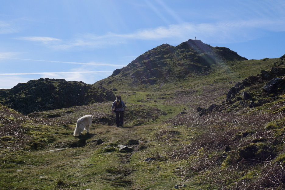
To the left of the road is Caw Fell, the final rocky summit in the far distance in this photo. Dylan is so full of energy that he is almost in a mood to run up there and back before our main walk.
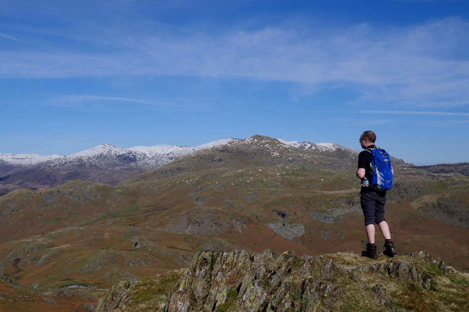
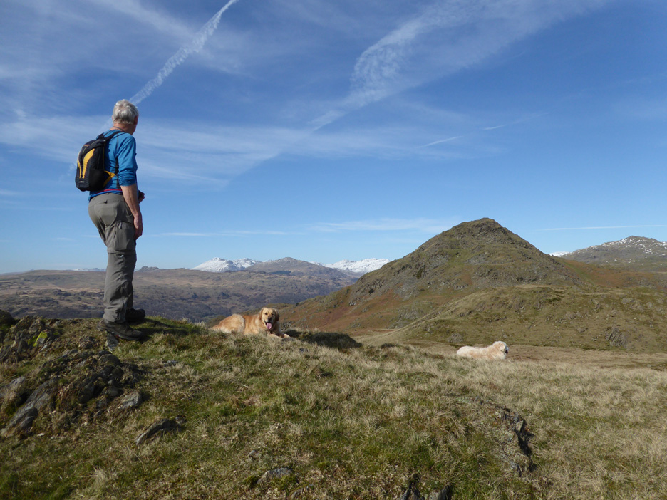
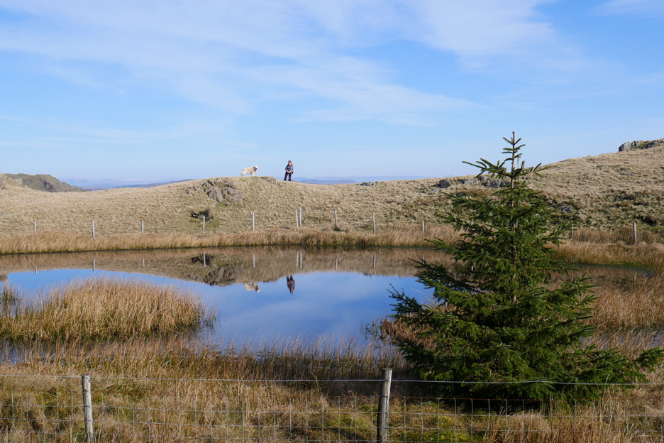
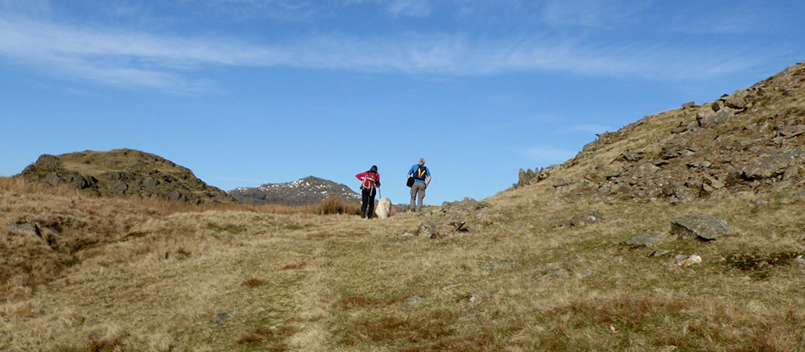
However, we cross the road and head south west, up towards Stickle Pike. I see someone is already there on the summit before us.
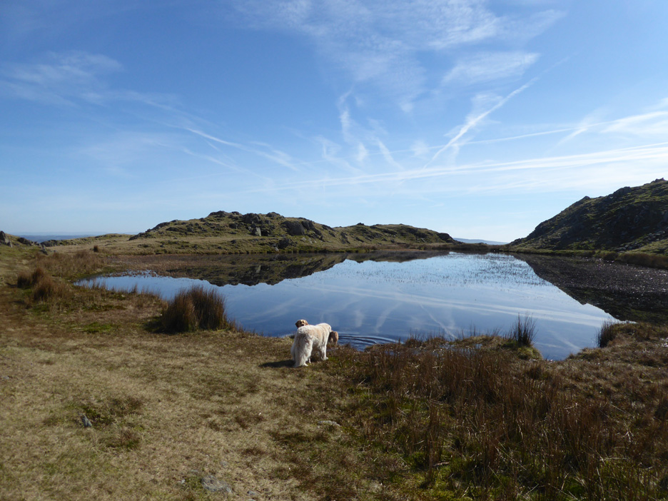
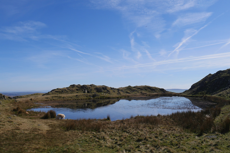
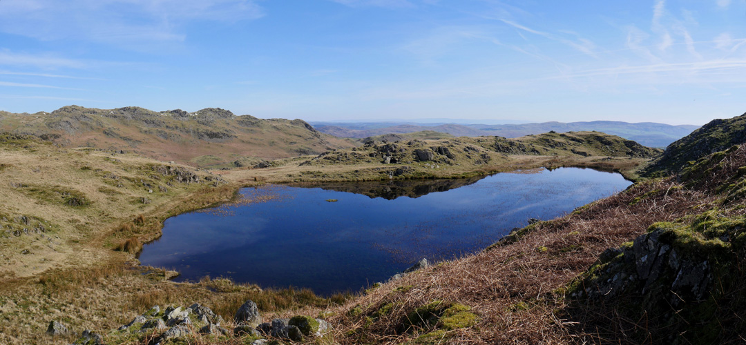
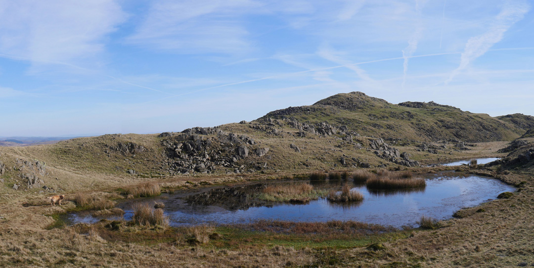
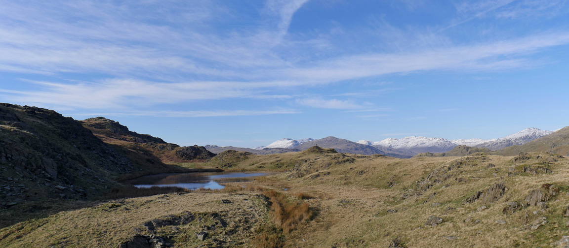
On the way we pass Stickle Tarn . . . calm and reflective until those big ripples start to radiate across the water.
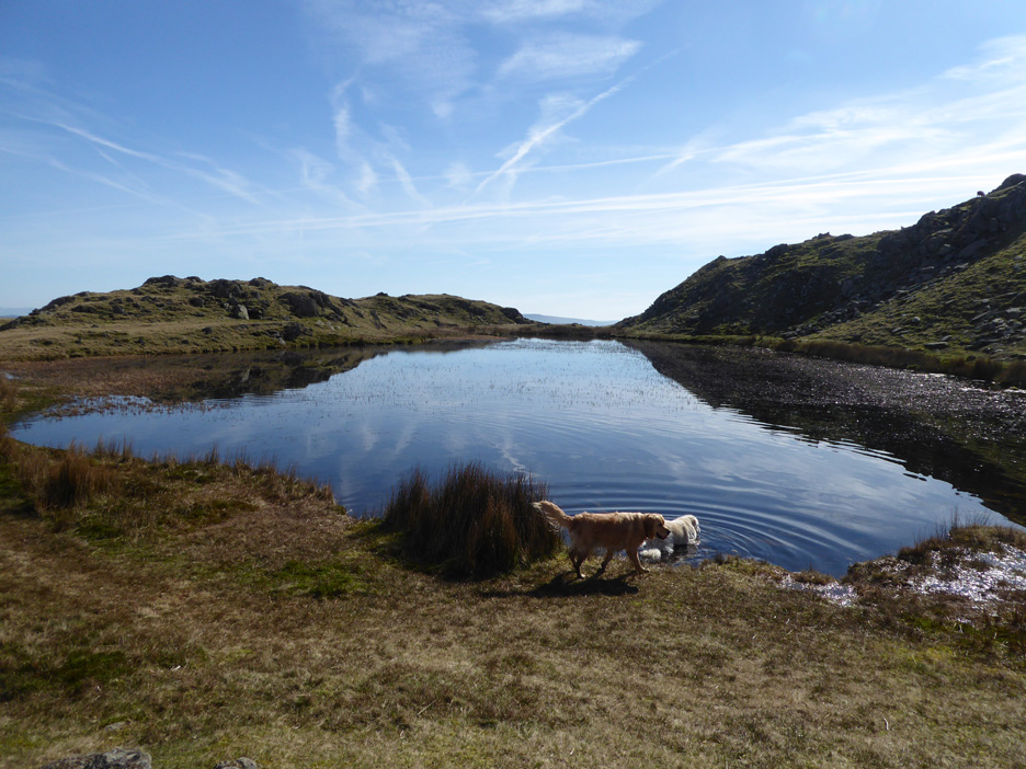
Time for Harry to join in with a cooling dip . . . just perfect after over an hour sitting in the back of the car.
The tarn lies in a hollow just below the summit of the Pike . . .
. . . the surface beautifully reflecting the blue skies above once again.
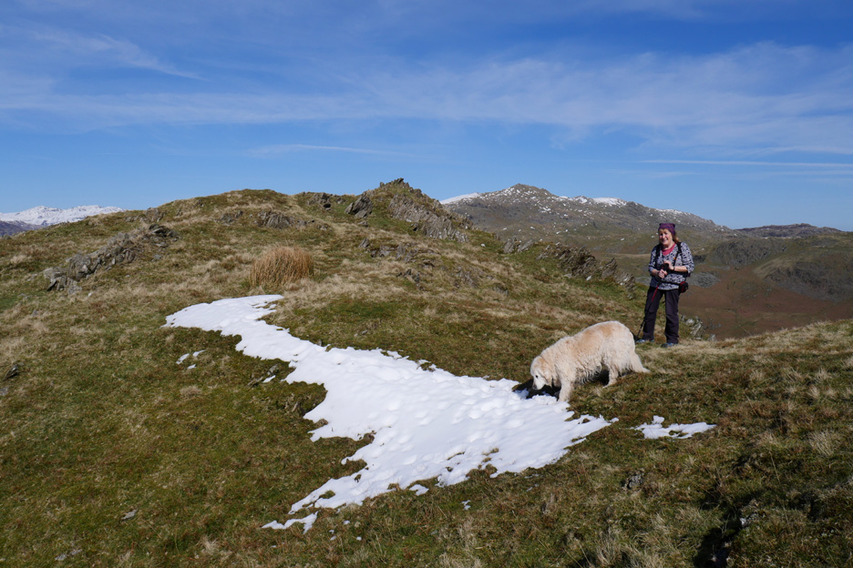
We reach the snow line . . . well one patch of snow, the remains of a small cornice just below the summit. From here we look across to Whitfell and Stainton Pike with Black Combe away to the left.
It reminds me of a map of the UK . . . just that bit of snow representing Northern Ireland having rather slipped to east of the English Channel. Hold your cursor over the picture to see what I mean . . . ahh . . . the wonders of photoshop !
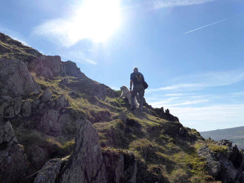
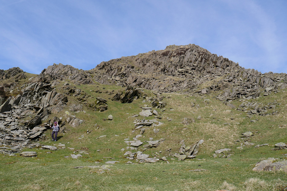
The final push to the summit . . . but Harry asks for an extra push. After the suggestion of a slight change of route, he makes his way to the top unaided.
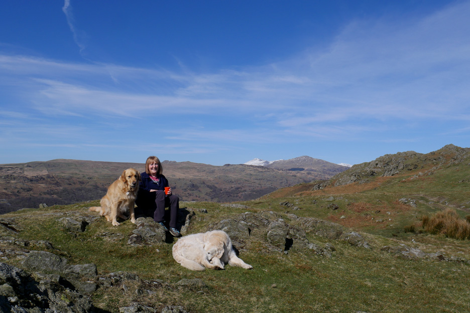
Summit photo of "some guy on Stickle Pike . . . looking across to the Coniston Fells." [ That would make a good magazine photo if not a good caption.]
That unknown single guy turns out to be one half of a really nice couple, Jonathan and Anna, over from their home in Barnard Castle for the day. We stop and chat for quite some time as we enjoy the views of the surrounding fells. Together they are working their way through their first round of Wainwright Fells, enjoying each in turn.
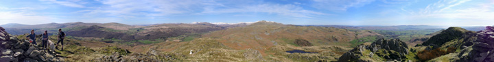
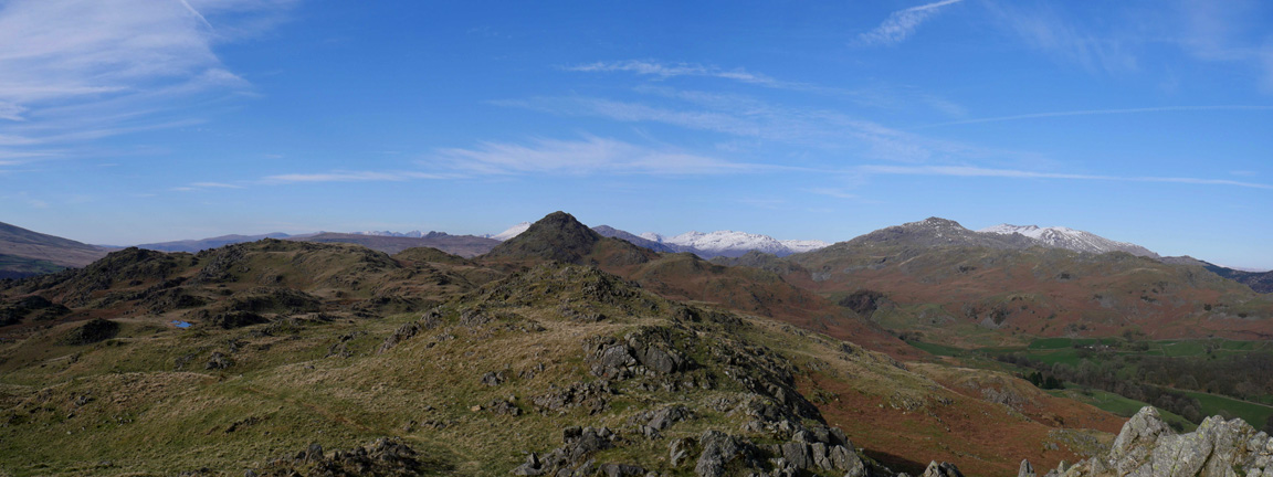
While we were there I took the opportunity for a full look round for all of you too. Click here or on the photo above for a Loweswatercam full 360 degree annotated panorama
With a coffee earlier and the climb to the highest point completed, we thought this would be a good time to raid the rest of the sandwich box.
The view of the highest point in England was excellent from here.
Down below us was Stickle Tarn, bright in the sunshine. Question: How come that blue is deeper than the blue of the sky it is supposed to be reflecting ? [ Answers please on the back of a ten pound note and posted to our home address . . . Thank You !]
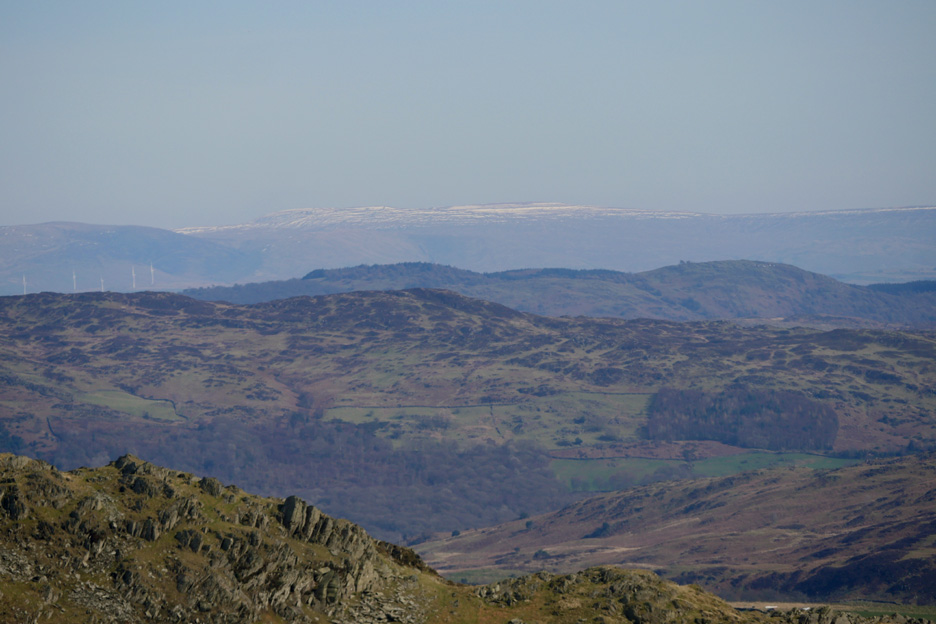
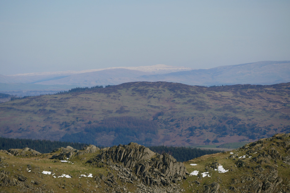
Looking further afield to the three peaks in the next county south, Yorkshire . . . this presumably was Whernside.
The flat top of Pen-y-Ghent a little further away.
Finally Ingleborough with Simon Fell to its left . . . hope I've got those three right.
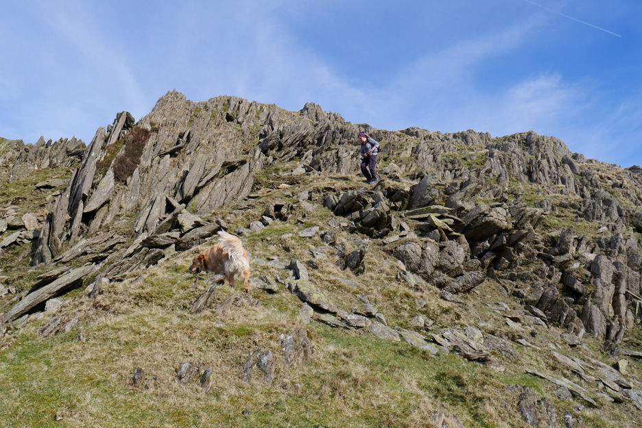
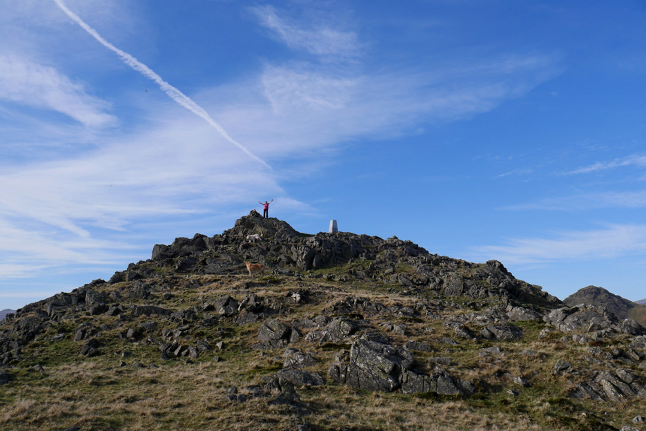
Now that's me . . . and that's definite . . . as I look for a route down the steep southern front of Stickle Pike.
Ann winds her way down between the rocky outcrops.
Further down, the tree has a major lean to the north east due to the continual pressures of the prevailing south-westerly winds during its lifetime.
Lower down the slope eases and the grass takes over from the rock. There's no wind today so mobility is easy.
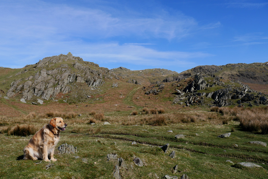
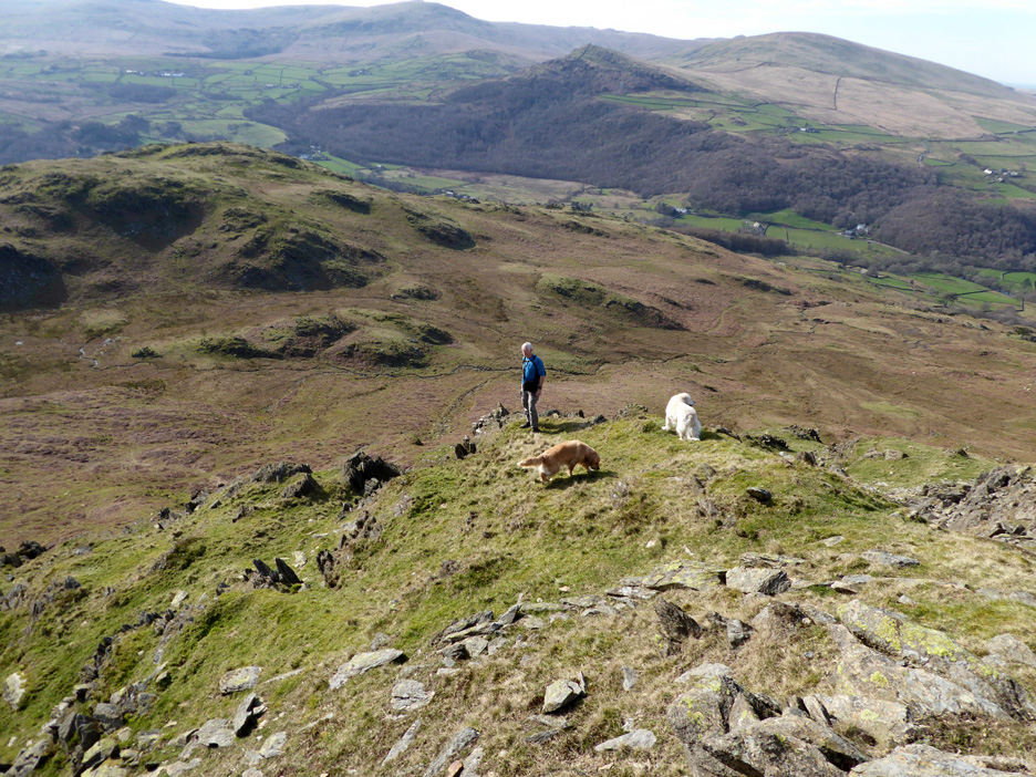
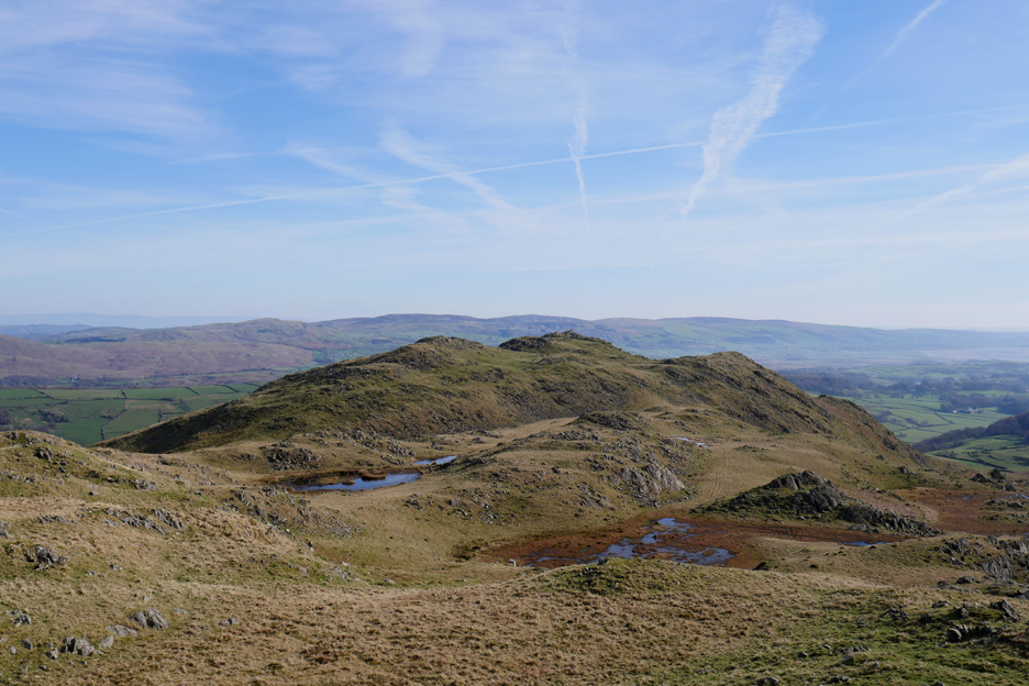
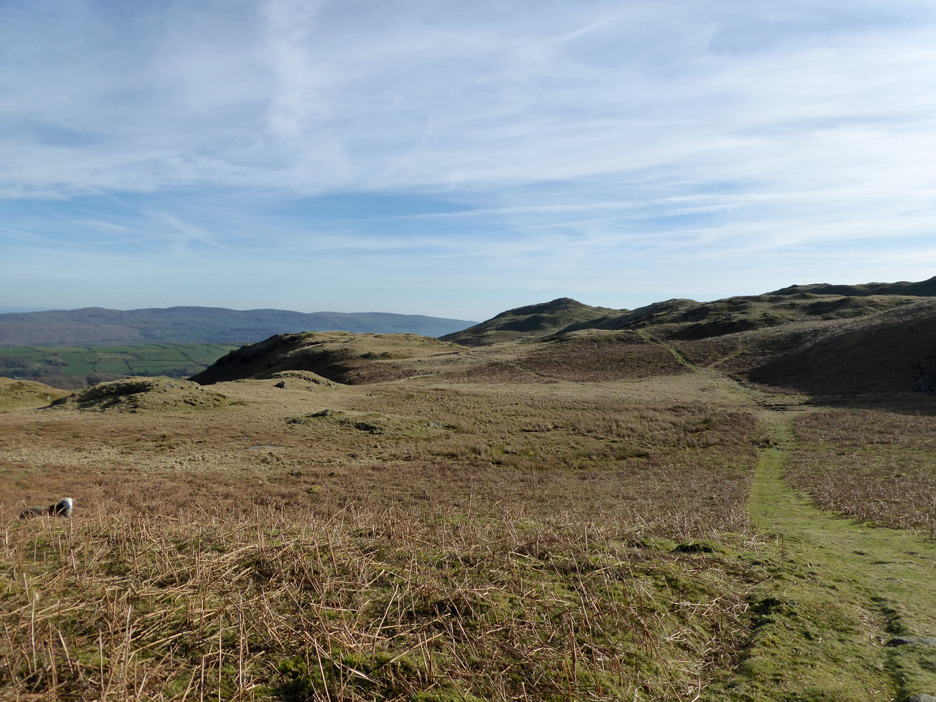
The Dunnerdale Fells are a series of undulating ridges which radiate out from the highest point of the Pike. We're heading south to the summit of Great Stickle, but in fact it is a lower summit than Stickle Pike that we look back on here.
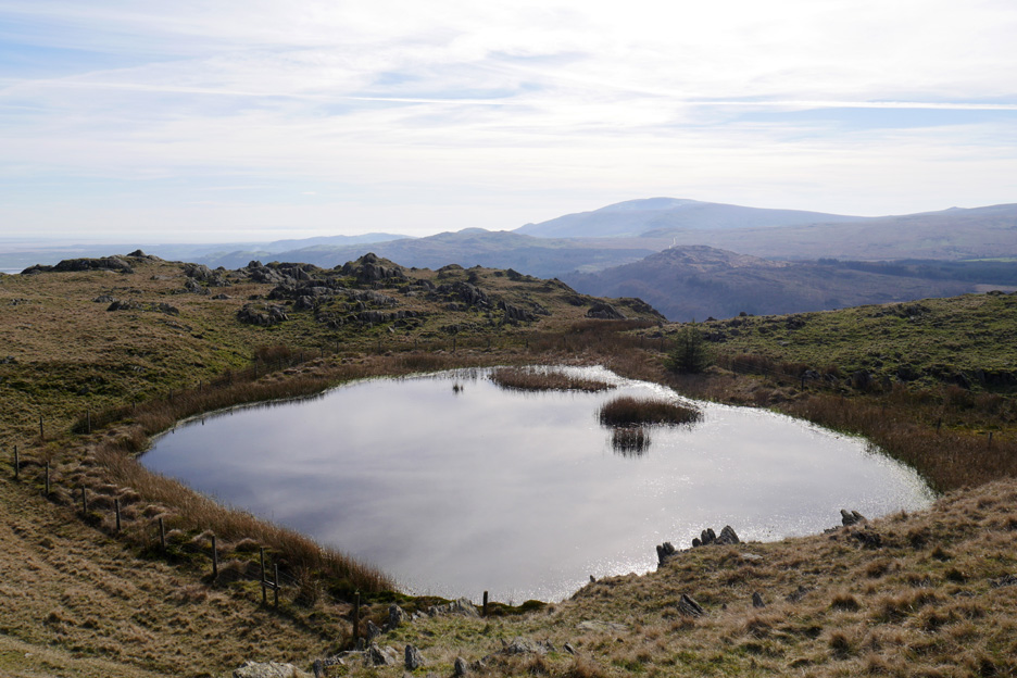
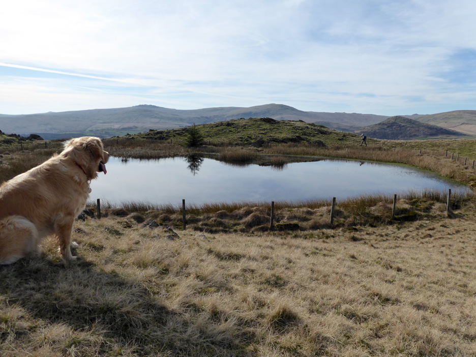
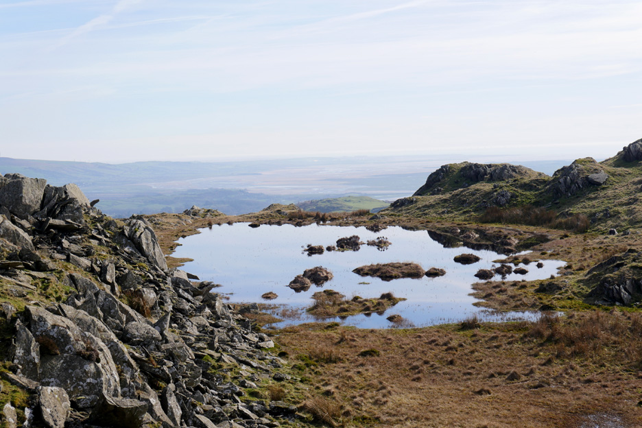
Also another feature of the area are the numerous small tarns that form in the hollows.
Dylan stays this side with Ann as I walk around the other side for a photo.
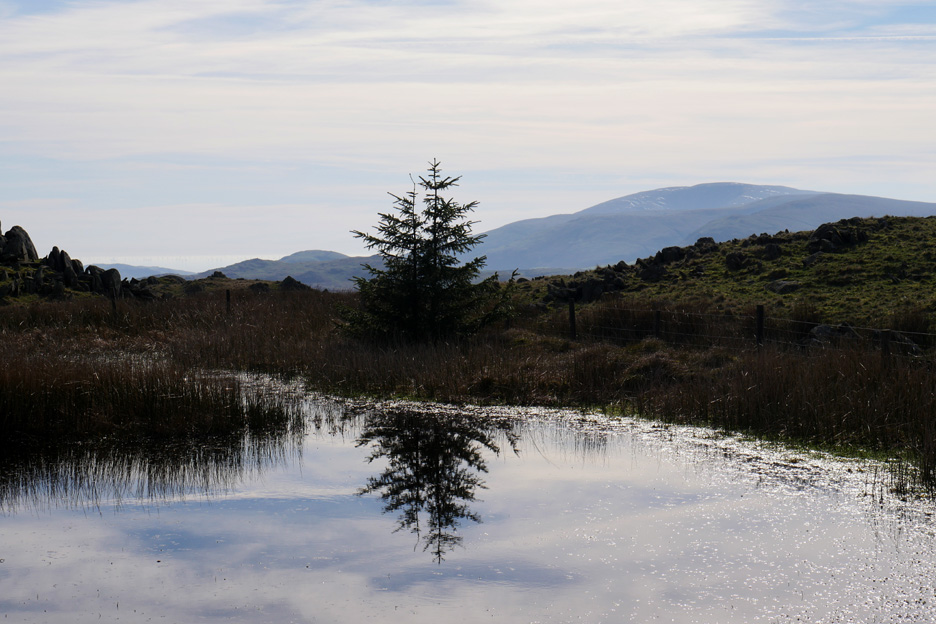
This tree reflects beautifully in the still water, almost silhouetted when I look towards the strong sunlight.
From the other side the sunshine just adds depth to the separate colours. Ann and Harry appear twice on the opposite bank.
More shallow pools, this time with boulders and almost an island within it. Beyond is the Duddon Sands . . . the detail lost in the haze of the day.
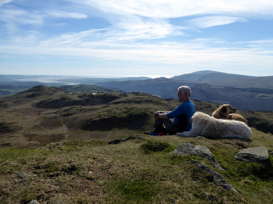
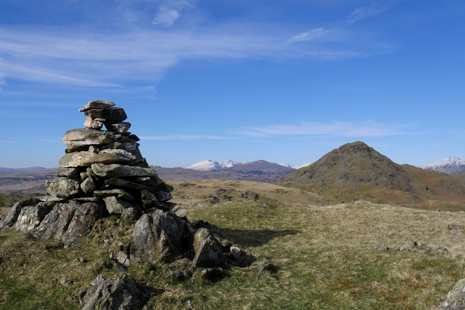
The summit cairn on what is presumably Tarn Hill . . . it is always worth diverting slightly for a good viewpoint.
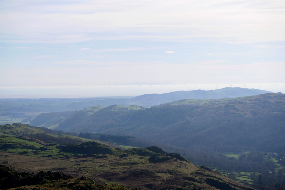
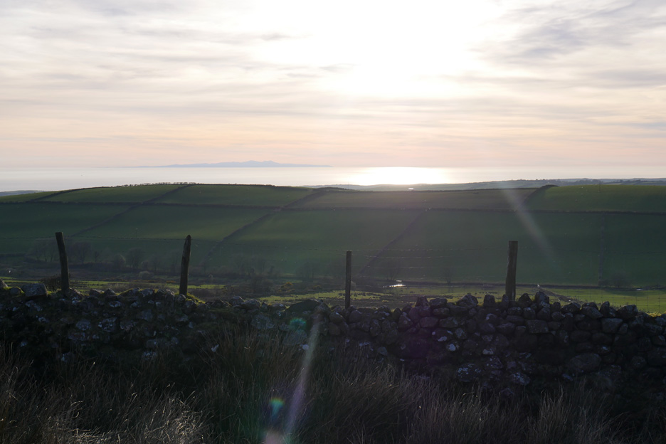
From here I am looking out at the offshore wind farms beyond Millom and Silecroft. Also out there, if you can see it, is the faint outline of the Isle of Man.
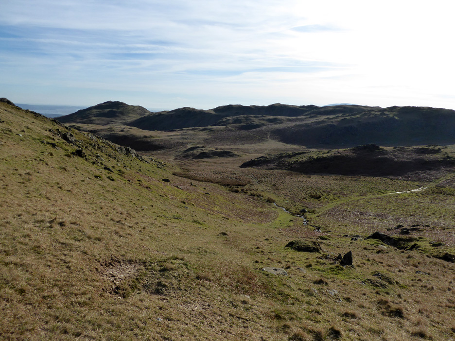
Just a few more ups and downs . . . and our destination is within sight.
Ann walks down from Tarn Hill summit.
More fine little tarns . . . and Dylan contemplating whether to jump into them.
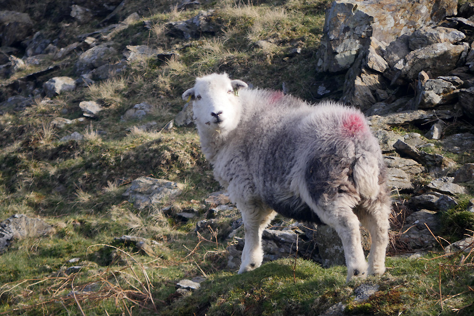
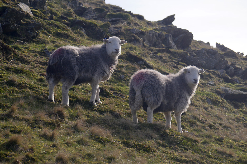
On the way up the other side we meet a few locals . . . here a classic Herdwick ewe.
Two more looking "full of the belly" . . . they'll be lambing soon no doubt.
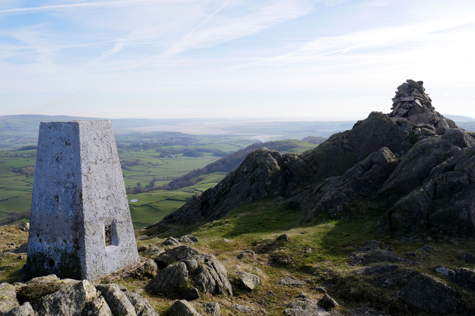
The top of Great Stickle, with its trig point set back from the highest point of the fell. The flatter ground may have been easier to build on . . . and anyway the top is already spoken for.
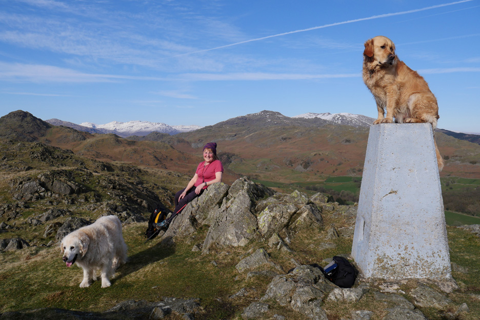
Dylan was helped up onto the top due to the adjacent rocks, which would spoil his run up. Hold your cursor over the picture to catch his attention . . . Harry won't mind . . . or will he ?
I wander further down to get an improved view of Lower Stickle . . . but my change of location didn't offer anything new. Ann waves from the summit of Great Stickle as I walk back up.
Time to be heading home . . . we'll follow a lower path to the right on our way back rather than retrace our steps over the undulating ground and tarns to the left.
Retro view of Great Stickle . . . a sort of reverse of the last one.
Perhaps this is a better duplicate . . . you can follow our route back which kept to the lower tracks where possible.
Our route back coincided with that of another lady walker and her dog so we returned to the cars together. Dylan and her collie Kip are out of sight, just around the bend.
Stickle Tarn once again . . . we must be nearing the path that we used on the way up from the car.
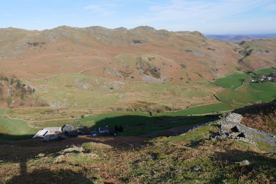
The shadows are lengthening in the valley below. The farm below goes by the unusual name of "Hoses" . . . the one on the right being Stainton Ground.
The road is close at hand now as we reach the head of the pass. The map pinpoints Stainton Ground Quarries on the fell side opposite. [They are identifiable by the excavations and waste tips.] The people are walking the start of the quarry track, which continues on the lower grassy section to the right. - - - o o o - - - Back at the car, lunch having passed and supper time some way away, so we opt not to divert to Seathwaite Village but to start our return journey home via Ulpha and the Birker Fell Road.
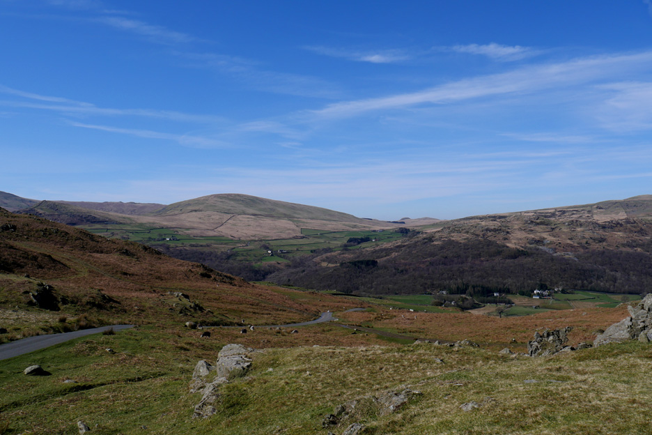
The view across to the high fells from the moorland road crossing Birker Fell. For those that know it, the track to Devoke Water leaves the road just a short distance to the left.
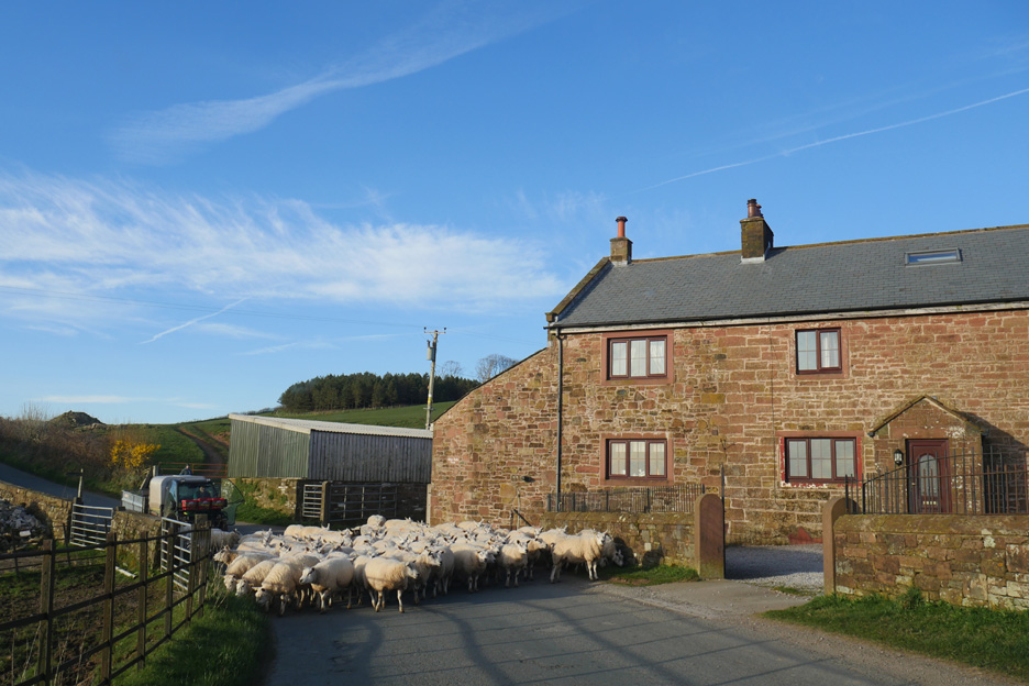
Rush hour problems . . . at Abbey Flatts Farm on the Cold Fell Road. We find the minor roads, although narrower and consequently slower, are usually quicker than travelling the main coast road via Ravenglass and Egremont.
The high ground also gave us one last view of the Isle of Man before driving the final miles home. - - - o o o - - - |
Technical note: Pictures taken with either Ann's Panasonic Lumix TZ60, or my Panasonic Lumix Gx8 Camera. Resized in Photoshop, and built up on a Dreamweaver web builder. This site best viewed with . . . time for a leisurely supper at home tonight. Go to Top . . . © RmH . . . Email me here Previous walk - 24th March 2017 - Late Afternoon in the Hope Gill Valley A previous time up here - 16th January 2007 Stickle Pike and Caw with Sean Next walk - 27th March 2017 - Sale Fell via Kelswick Farm
|