![]()

Remember: Press F11 for a full
screen view of this page.
|
|
|
Remember: Press F11 for a full
screen view of this page. |
|
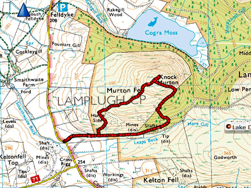
" Knock Murton with Trevor and Gill " Date & start time: Wednesday 19th October 2016, 2.40 pm start. Location of Start : Roadside at Cross Rigg, Lamplugh, Cumbria, Uk ( NY 086 184 ) Places visited : Harris Side, Knock Murton, the forestry and back. Walk details : 2 mls, 650 feet of ascent, 1 hour 50 minutes. Highest point : Knock Murton, 1452ft - 447m Walked with : Trevor and Gill, Ann and the dogs, Harry, Dylan and Finlay of Borrowdale. Weather : Fine and dry, sunny but with a big black cloud overhead ! |
© Crown copyright. All rights reserved. Licence number PU 100034184. |
|
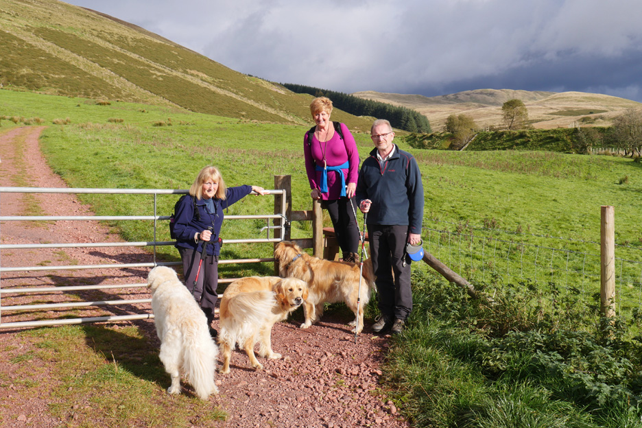
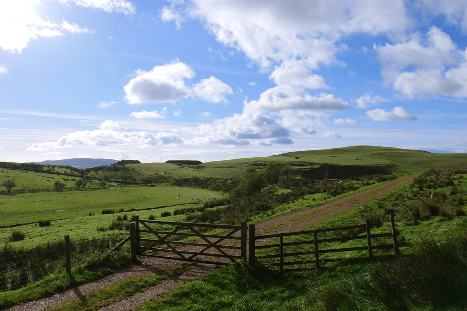
A planned visit by Finlay of Borrowdale today in order to see his mates Harry and Dylan. Trevor and Gill come over to Loweswater and we suggested a walk up Knock Murton, a local fell for us, but one un-walked by them. First a short drive west is needed.
Glorious sunshine and warm with it . . . but those waterproofs are packed in a small day sack just in case.
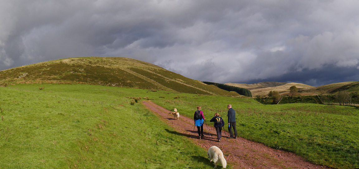
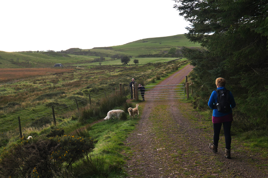
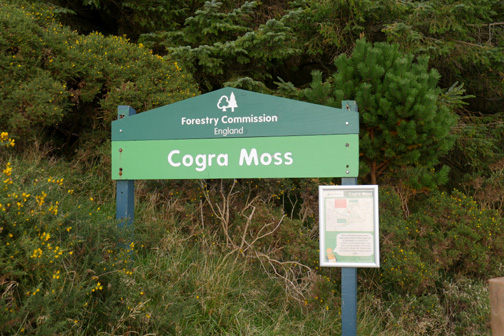
The clouds over the high fells are moving west on the easterly breeze. We head up the old mine track towards the Cogra Moss plantation and look for our path up onto Knock Murton.
The old mineral line is in evidence but the track was removed a long time ago.
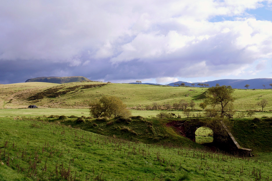
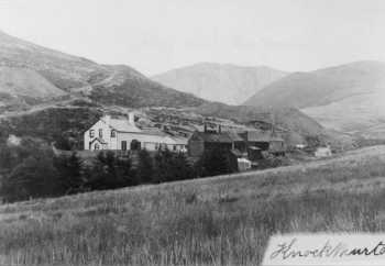
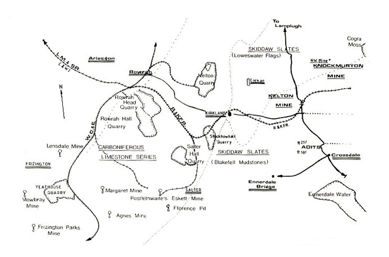
Looking back whence we came. The rail track curves away to the left and through the low gap . . . and at least three old iron tips are obvious in the fields opposite. These large spoil heaps towards Keltonfell Top mark the location of Kelton mine where three shafts were sunk.
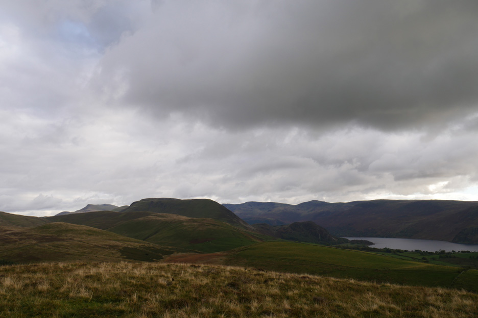
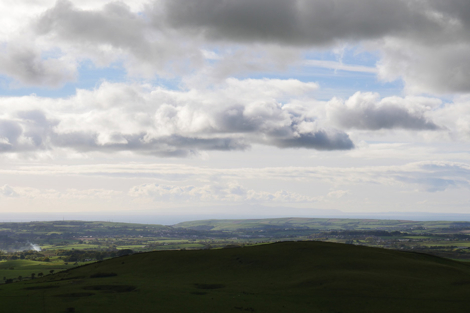
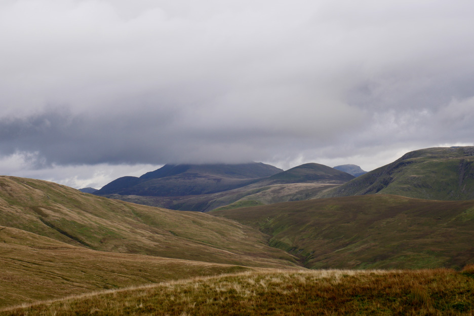
On the first ease of slope we gained a clear views of Ennerdale Water and the surrounding high fells. We can see the High Stile Ridge, Haycock and Caw, with Great Borne the large bulk of fell in the middle distance.
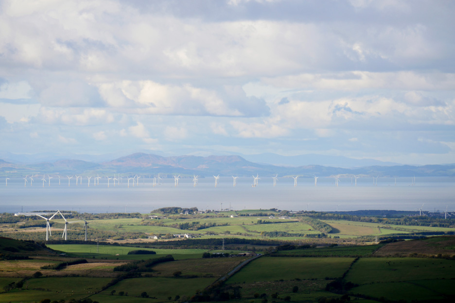
Out to sea and the sunshine continues . . . but that cloud behind us has darkened over Blake and the Loweswater Fells. Consequently it has cast a shadow on us and Kelton Fell top ahead.
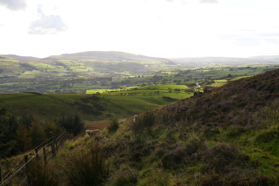
With the naked eye we could make out the Isle of Man today. Sometimes up here the mobile phone locks on to (and give a welcome text from) the Isle of Man phone service.
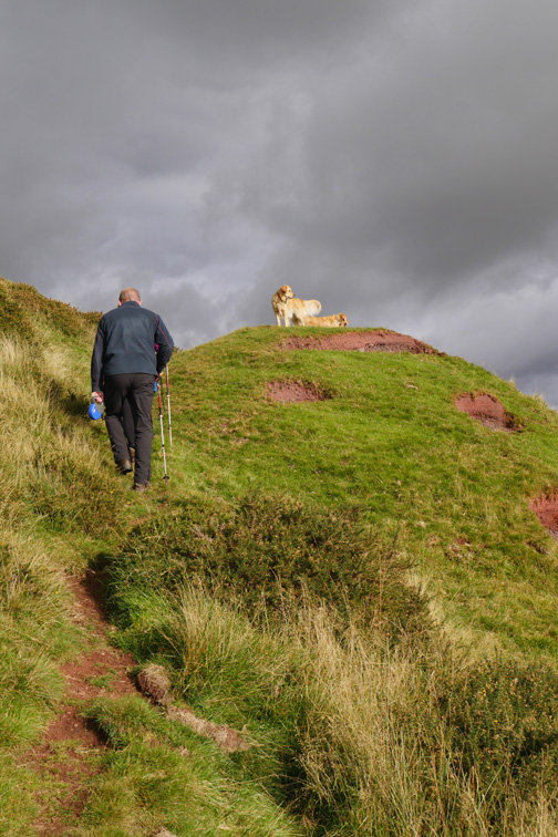
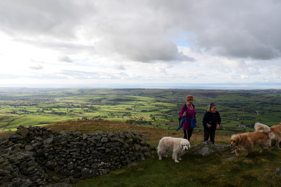
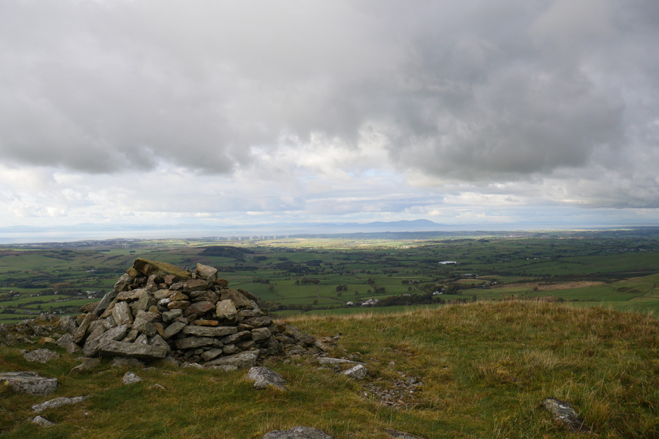
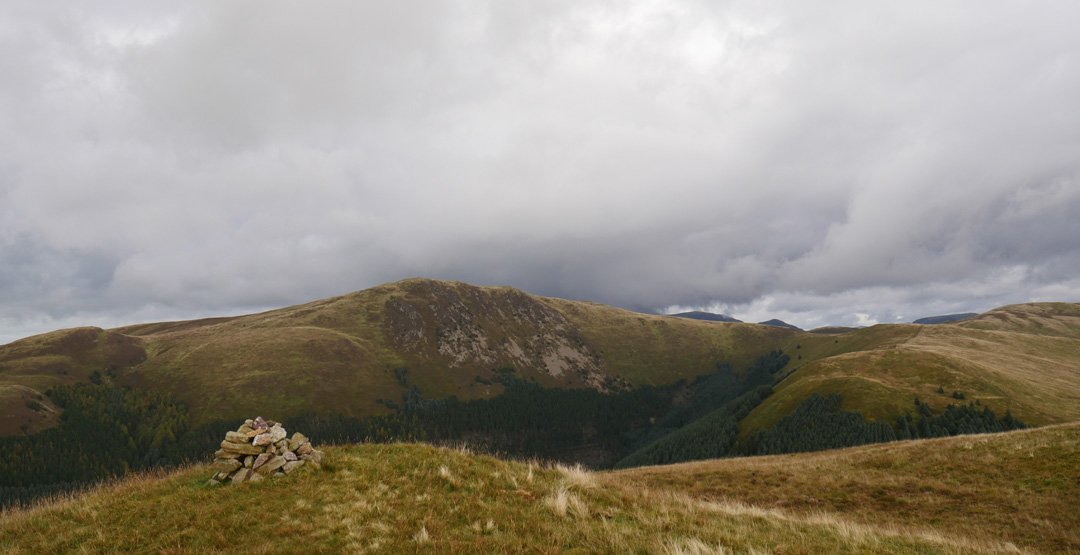
The climb is a series of grassy slopes, steeper toward the bottom and easier towards the top . . . and so in due course we reach the summit cairns. The main cairn has been re-formed into three shelters . . . always a chance to sneak away from any wind direction.
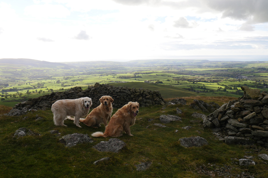
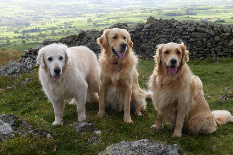
After the climb the dogs have slowed down a bit . . . therefore a better chance of a photo together.
Harry and Dylan of Loweswatercam . . . Finlay of Borrowdale. [ 12 and 3/4 years old . . . 2 and 3/4 years old . . . 3 and 1/4 years old ]
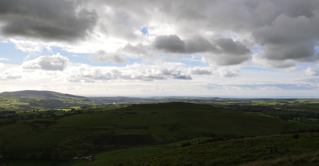
The main summit cairn and the view north over the Solway Plain.
Zooming in on Snaefell, the highest point on the Isle of Man.
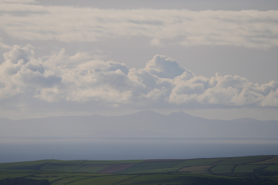
Likewise, a close up of the Scottish hills of Dumfries and Galloway.
The clear visibility and patches of sunshine shows the colours on Criffel.
Closer at hand . . . Blake Fell.
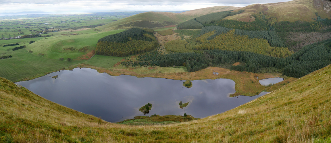
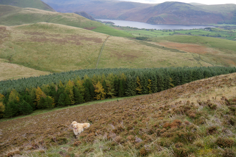
Below us the reservoir at Cogra Moss, used as a drinking water supply from the 1880's until 1975, but now just used for recreation. It is stocked and fished by a local angling club, Cockermouth Angling Association
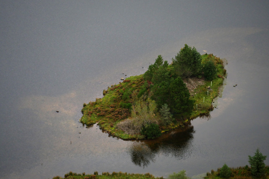
Thankfully all the old, broken fishing platforms have gone and the lake is looking a lot more natural. We look down on one of the small islands from on high.
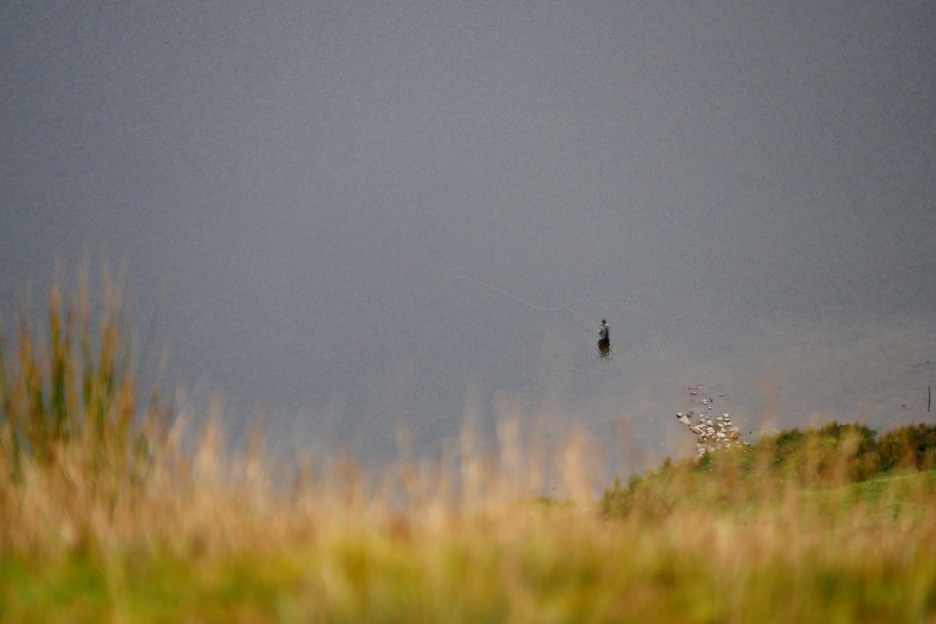
Just visible, but only discernable with a little optical help, a fly fisherman enjoying a quiet afternoon fishing session, most likely for brown or rainbow trout.
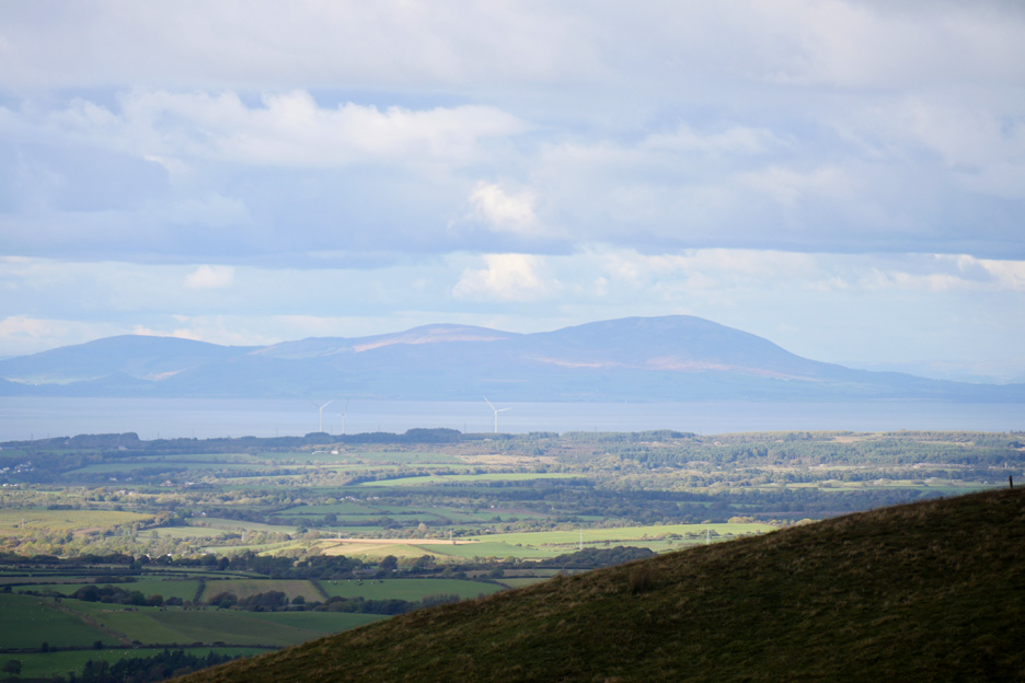
Our big black cloud has moved away south west over the higher fells and the High Stile Ridge has been shrouded in it. Our weather has improved as a result.
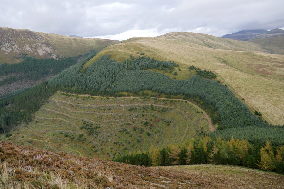
The cleared forestry on the slopes of Low Pen has started to green up properly this year
Our route seems to be basically straight down to the forest edge. Down there are the remains of a stile into the forest . . . but it is deep and dark and full of . . . pine needles.
We stay on the outside of the fence and make our way back to the mine road.
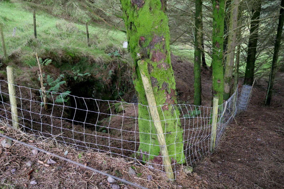
Gill expressed an interest in the old mine workings so we crossed the fence and had a closer look. A second fence protects sheep and wild animals from falling into the old entrance. Don't panic though, it didn't appear to be more than a few feet deep . . . the mine addit would have been back filled before it was abandoned.
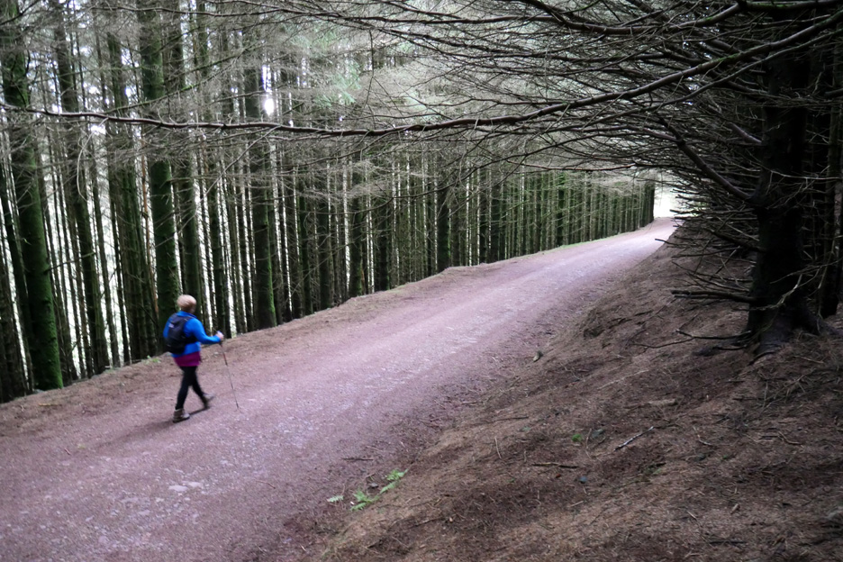
Back down on the mine track as it makes its way through the forest.
- - - o o o - - - |
Technical note: Pictures taken with either Ann's new Panasonic Lumix TZ60, or my Panasonic Lumix Gx8a Compact System Camera. Resized in Photoshop, and built up on a Dreamweaver web builder. This site best viewed with . . . an idea of what went before. Go to Top . . . © RmH . . . Email me here Previous walk - 10th October 2016 - Darling Fell with Jo A previous time up here - 9th February 2014 - Knock Murton Sunshine Next walk - 1st November 2016 - Autumn walks and a Sunset
|