Starling Dodd , Great Borne
and Mellbreak. |
Park Beck flows from Loweswater into Crummock
Water. |
Darling Fell and Low Fell southern viewpoint. |
Low Fell summit and then Fellbarrow in
the background. |
Whiteside End - the map highlights a Boat
Crag. |
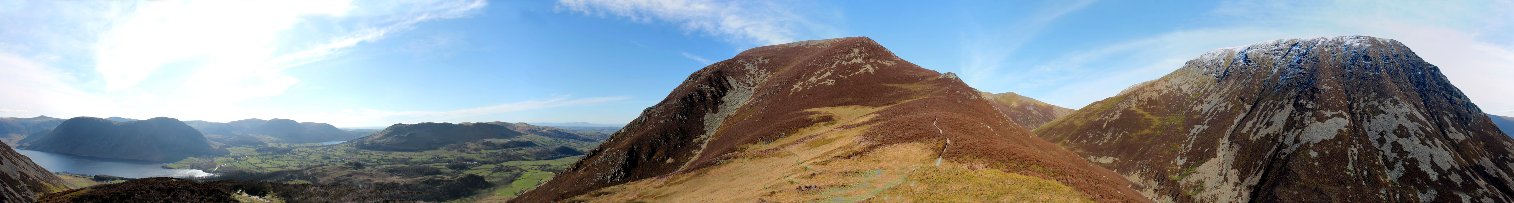
Whiteside summit (707 metres) over the
brow. |
The path climbs ever steeper to the top. |
Sand Hill at the head of the valley.
Eel Crags just showing . |
Dove Crag arête with snow on its
upper slopes. |
AW's 'Grasmoor Direct' path climbs up
the right hand skyline. |
![]() Click here to go back to the Whin
Ben page ( or better still just press your back space key )
Click here to go back to the Whin
Ben page ( or better still just press your back space key )
Technical note: Pictures taken with a Canon 1100D SLR Digital camera.
Panoramas created using Microsoft ICE Program.