![]()

Remember: Press F11 for a full
screen view of this page.
|
|
|
Remember: Press F11 for a full
screen view of this page. |
|
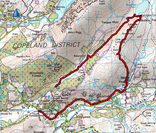
" Miterdale and Boat How with Ian and Mike " Date & start time: Saturday 19th March 2016, 10.50 am start. Location of Start : The road end in Miterdale, Cumbria, Uk ( NY 145 010 ) Places visited : Low Place, Bakerstead, Burnmoor, Boat How, Boot and La'al Ratti. Walk details : 6 mls(10 with the train) 1150 feet of ascent, 4 hour 45 mins. Highest point : Boat How, 1095ft - 337m. Walked with : Ian, Mike, Ann and our dogs, Harry and Dylan. Weather : Overcast to start and the cloud rolling away to leave perfect blue skies. |
© Crown copyright. All rights reserved. Licence number PU 100034184. |
|
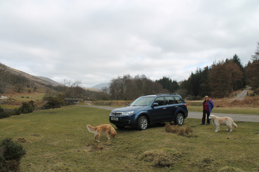
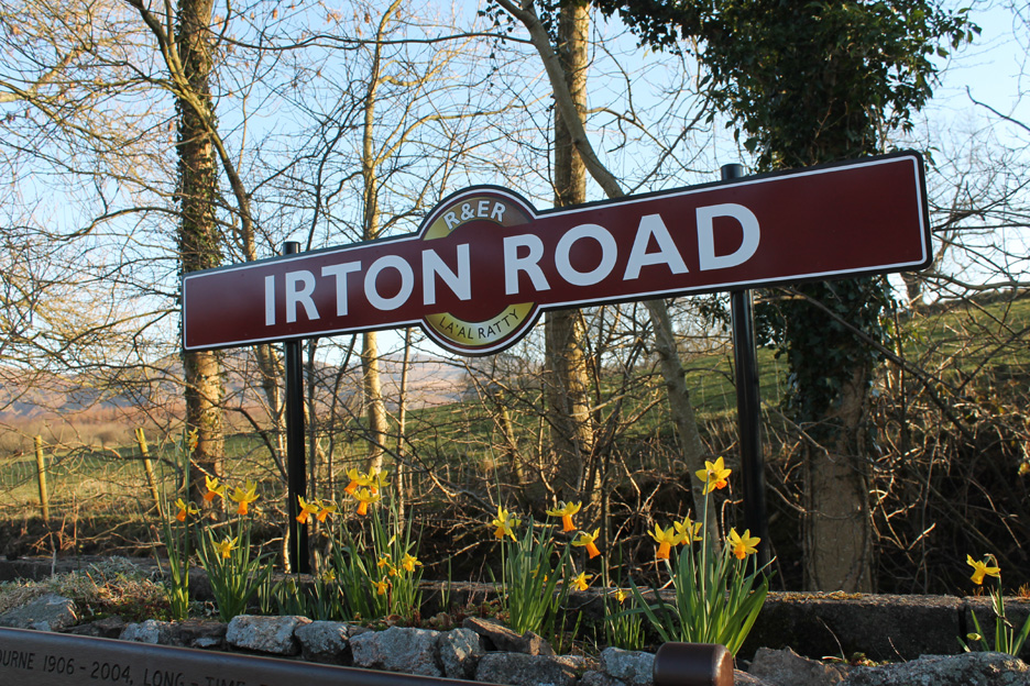
Ian and his brother Mike were up in the Lakes and invited us out for a walk, suggesting one closer to their Seascale base. A return trip on La'al Ratti meant a linear walk was on the cards again . . . they are getting popular. We meet up at Irton Road station and took one car up to the end of the Miterdale Valley road.
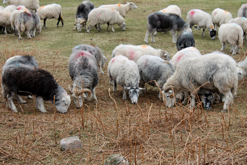
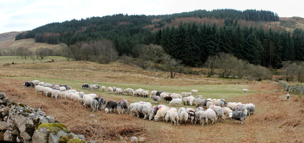
The farmer has just driven through with some pelleted winter feed to supplement their diet prior to lambing. In these hill farms, lambing is later than lowlands to avoid problems with late season inclement weather.
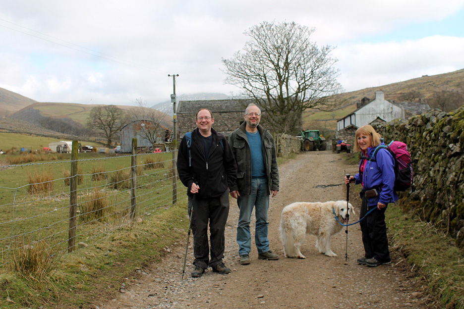
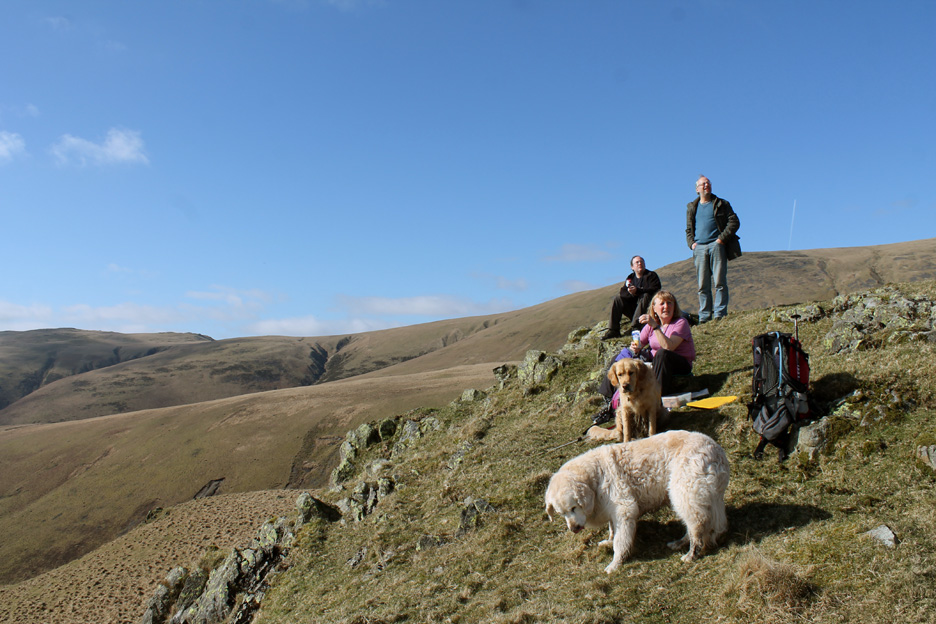
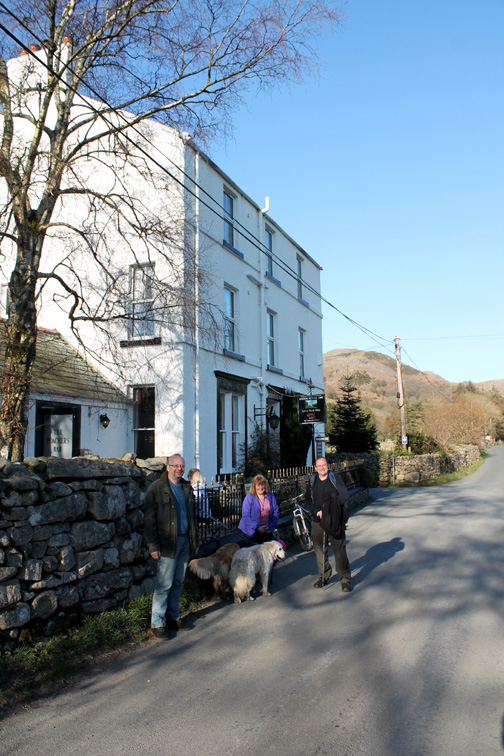
A picture of today's motley crew . . . Ian, his brother Mike, Ann and Harry, plus myself and Dylan of course (out of picture).
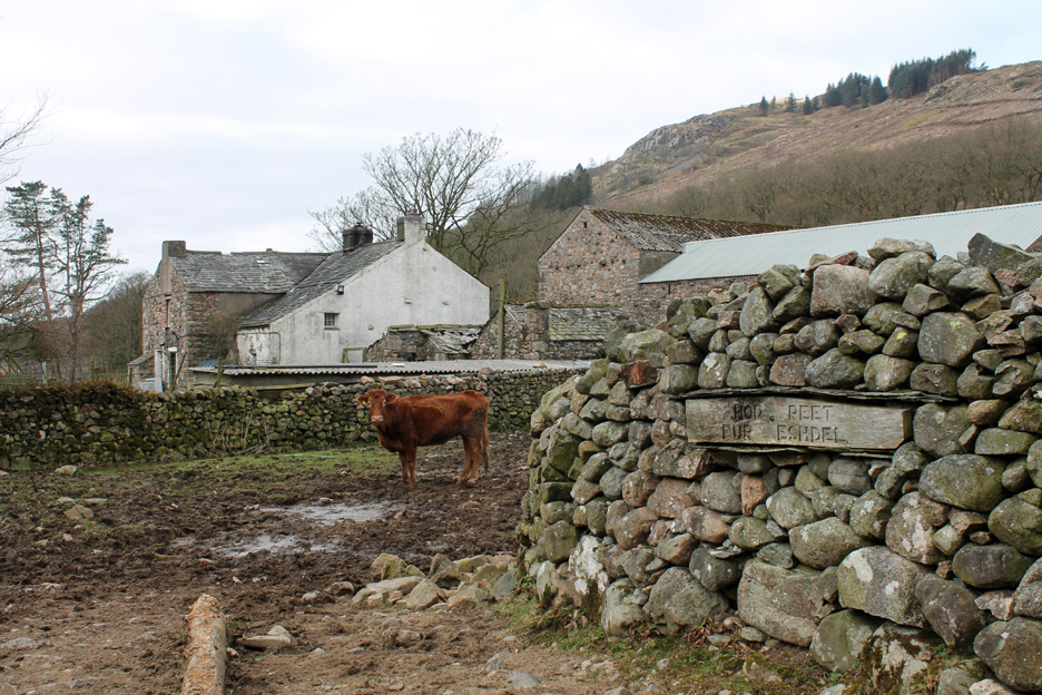
The footpath goes straight through the middle of this busy working farm and life can get a bit muddy on a bad day. However the teenage son of the farmer kindly directed us round a short diversion to miss the mud and to avoid walking past the animals.
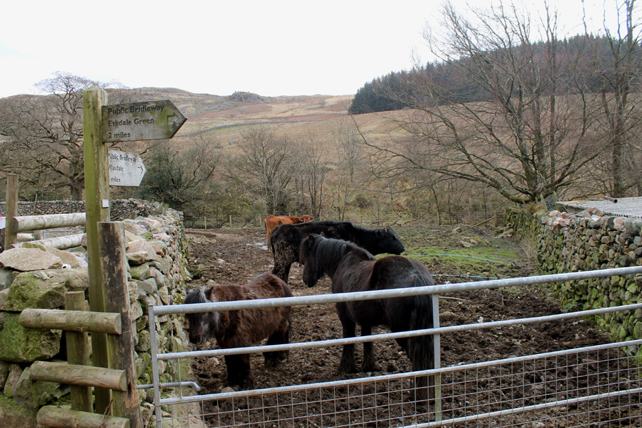
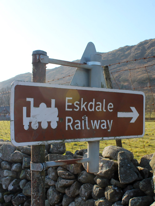
Doing so we missed a local landmark (the sign) which has been renovated in recent years. A quick walk back a few yards and all is revealed "Head right for Eskdale" it says in Cumbrian.
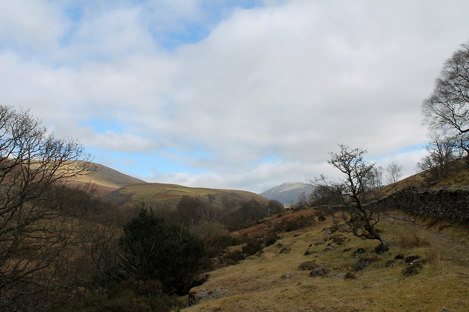
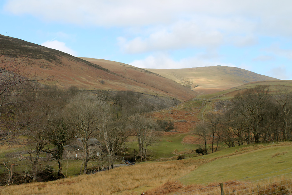
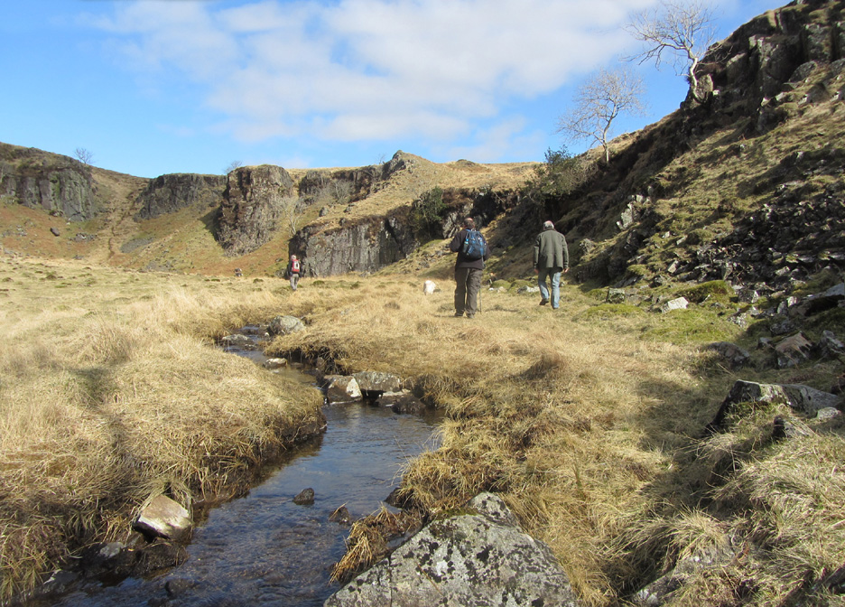
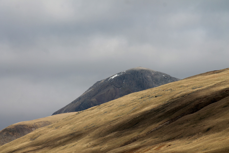
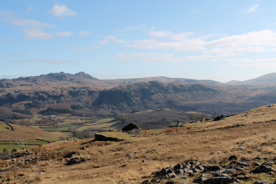
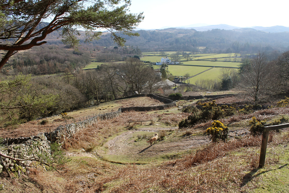
Heading up the Miterdale Valley. By crossing a small footbridge we joined the track on the right hand side of the river. Any ideas on the name of the larger fell in the distance ?
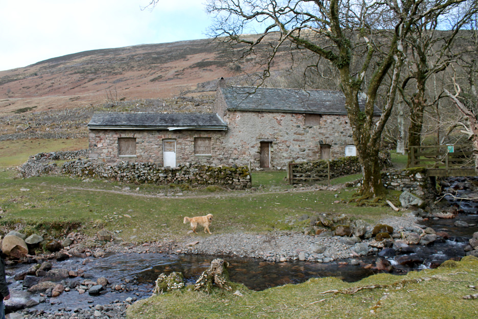
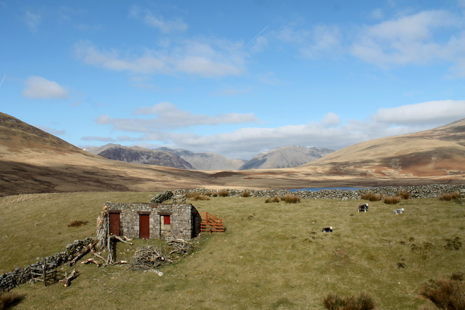
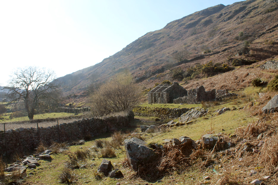
Had we stayed on the other side of the river we would have passed the Bakerstead Farm buildings. Mike and I dropped down across the field for a closer look.
The old farm was converted into an outdoor pursuits centre for a local school in Egremont. Presumably enthusiasm and money has dried up in recent years as it looks rather abandoned.
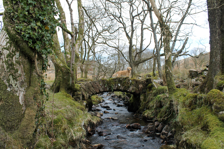
A small packhorse bridge close to the ruins of Miterdale Head Farm takes us back across the River Mite to rejoin Ann and Ian. The old bridleway that crosses it joins Eskdale to Wasdale via Burnmoor Tarn and Maiden Castle.
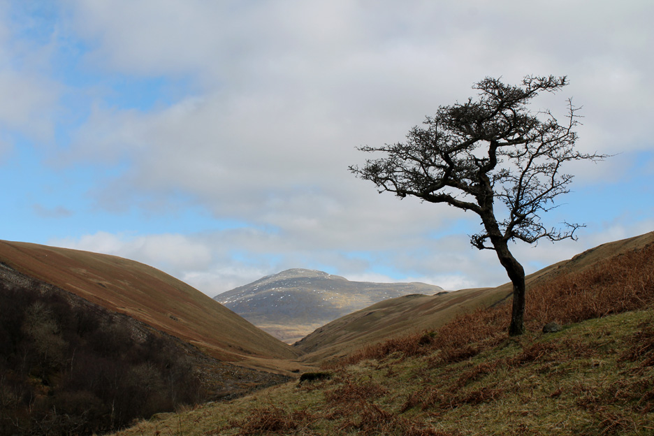
A lone hawthorn stands close to the footpath. The bridleway is now on the other side as it has already climbed up onto Tongue Moor on the left.
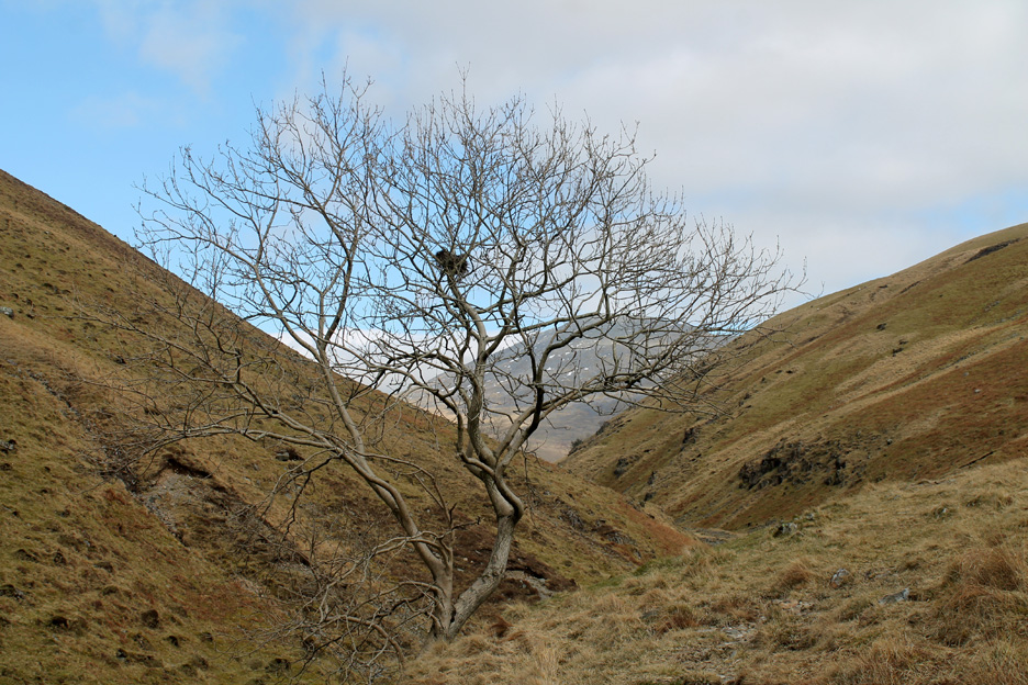
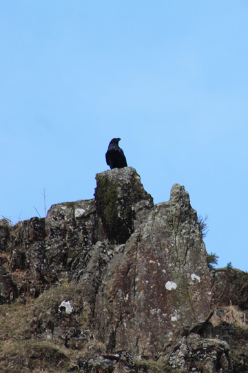
Well above the existing tree line is this medium sized ash tree which in the last breeding season appears to have been home to a crow or raven by the look of the nest.
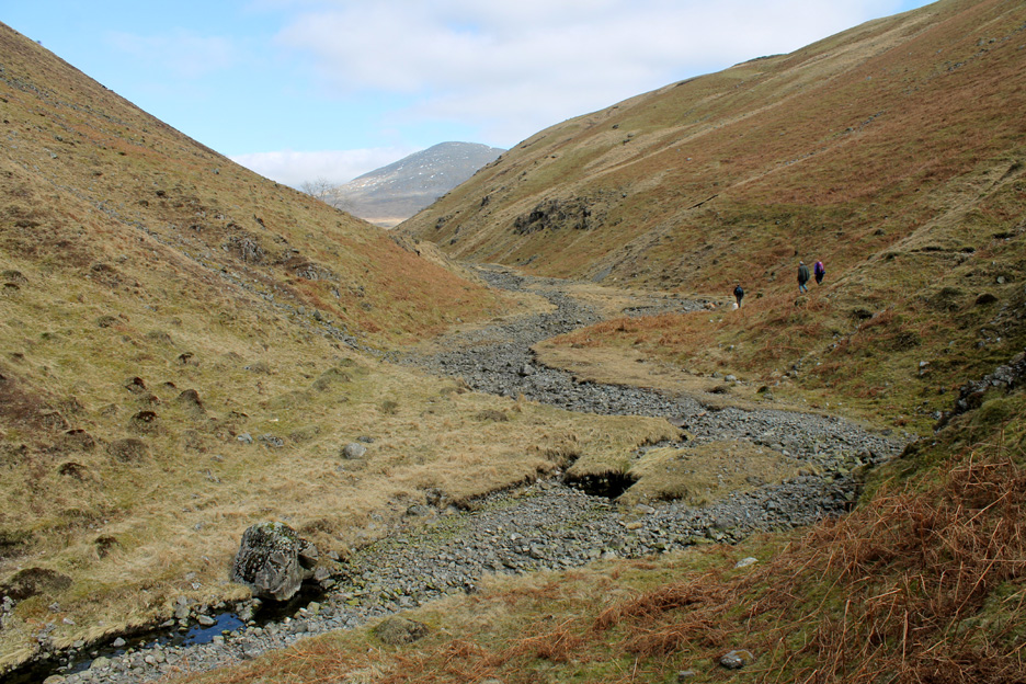
The River Mite dries for a short way as the water percolates down into the alluvial stone bed of the river.
A short time later we are walking alongside water again, its tinkling and splashing sounds alerting us to the return of normality.
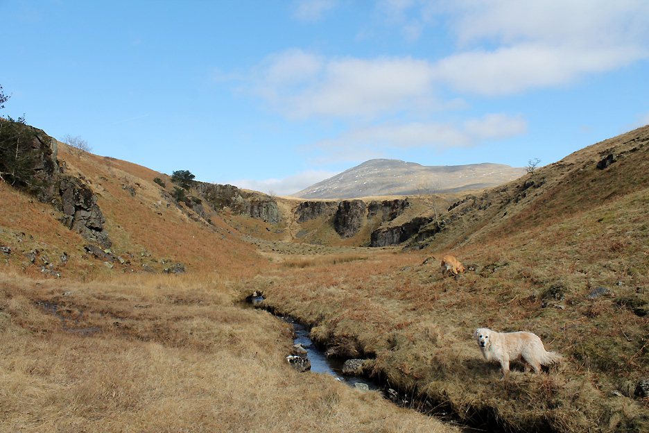
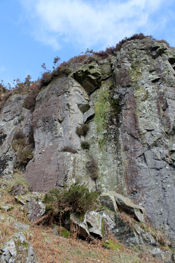
Miterdale is geographically a special valley as the apparently normal meanderings of the river-cut valley culminates in a bold headwall, which at first doesn't seem to make sense. The reason is "river capture", that is the head waters of large river that used to travel this way and cascade over this waterfall was cut off and stolen by the Whillan Beck and now exits the area via the village of Boot. A change of sea level at some point caused the step in the valley as the original big river eroded a waterfall at the break of slope.
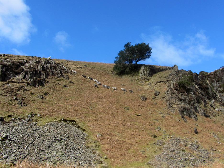
Our arrival at the head of the valley encouraged the sheep to pastures new. The amphitheatre was out of the breeze and consequently really quiet and peaceful. All that could be heard was the sounds of the sheep and the calling of the birds.
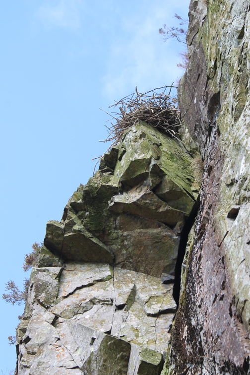
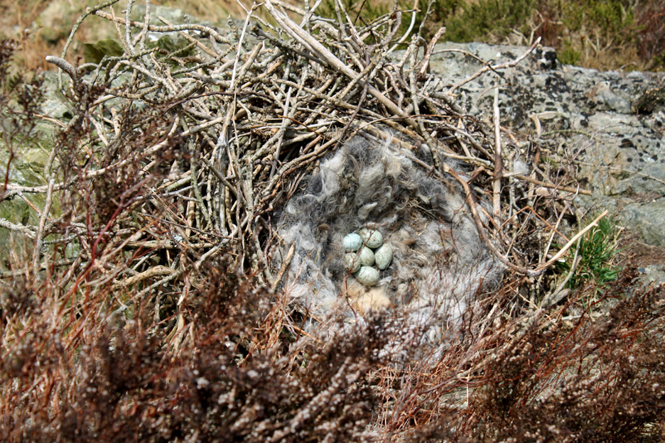
To continue our walk we ascended the steep grassy slope at the head of the valley and a quick double back brought me to the head of the crags and a view down, over the sheer drop.
A quick look over the edge also revealed the nest, built of ash saplings and neatly cushioned with herdwick hair and surprise, surprise, in it was sitting half a dozen raven's eggs
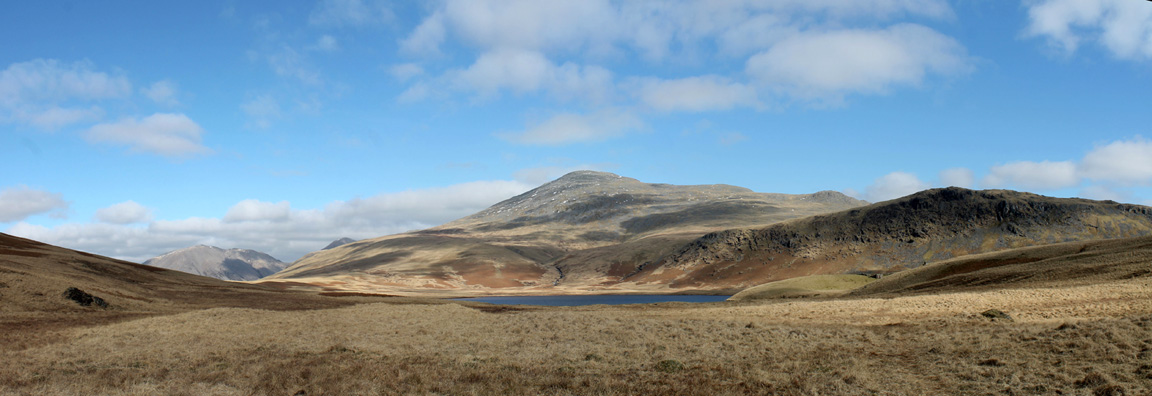
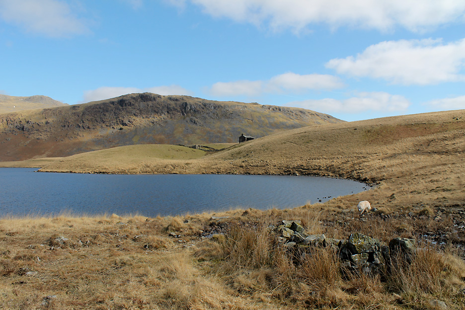
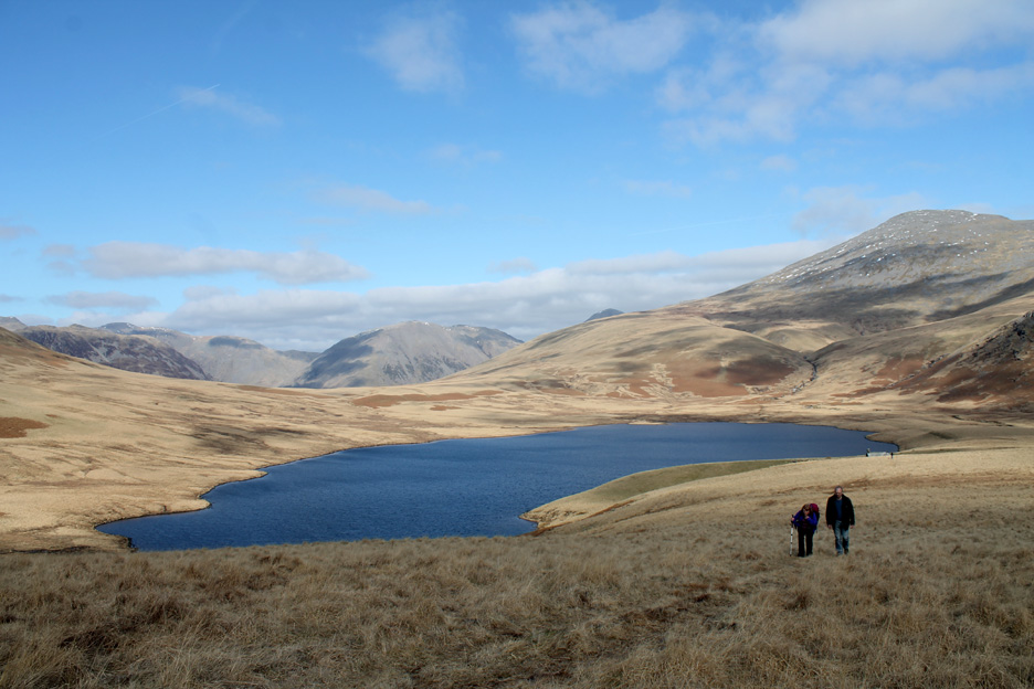
Onward and the view changed to that of Burnmoor Tarn and the high fells (details on the panorama). That mystery high fell was the second highest in the Lakes . . . Scafell. Click here or on the photo above for a larger annotated version of this Loweswatercam panorama
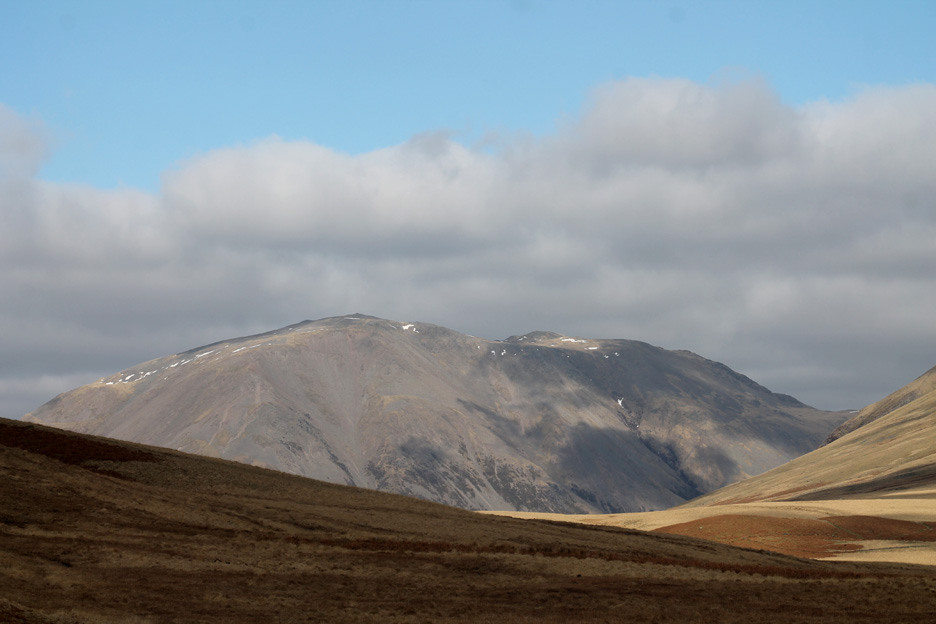
Zooming in . . . on Wasdale's Kirk Fell with its twin summits.
Likewise Great Gable is brought closer, sufficiently so to reveal the black dots of people standing on the summit.
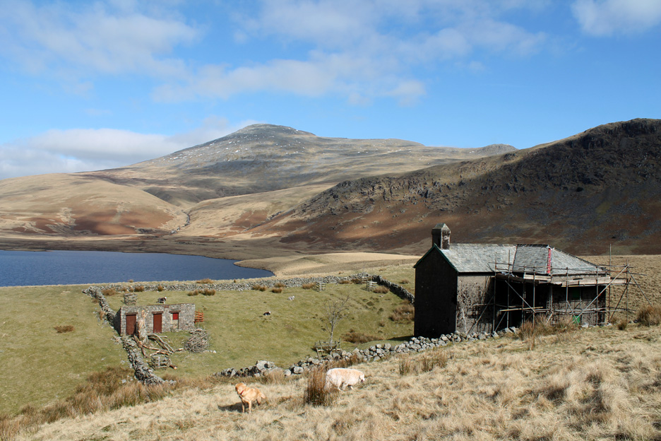
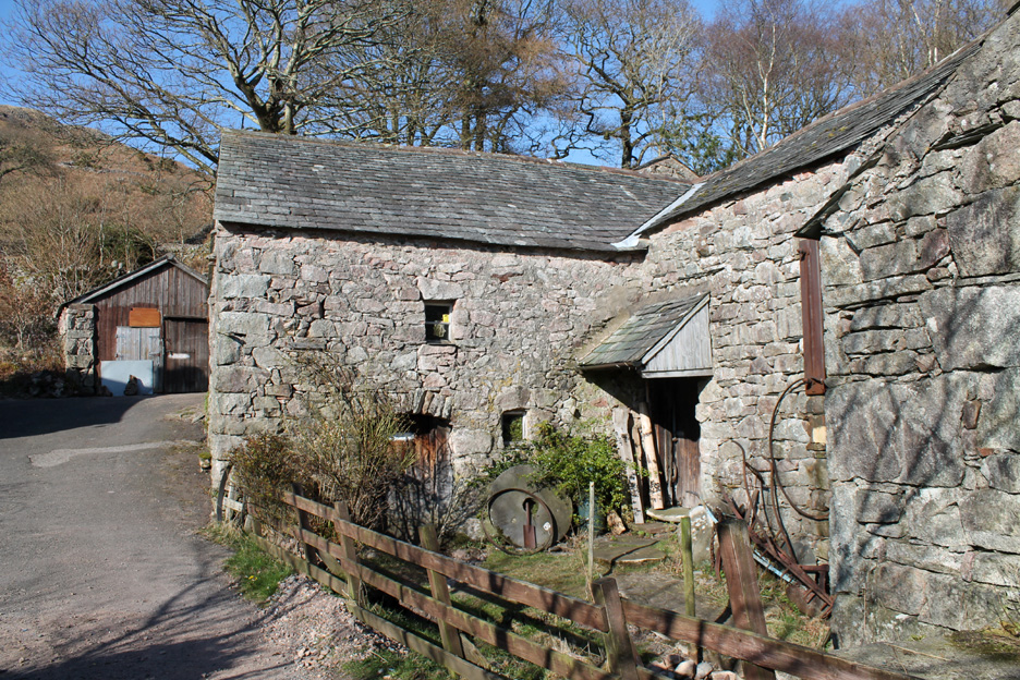
There's some (slow) roof repairs being undertaken.
The final mature tree in the paddock has fallen and has been partially chopped for firewood. Time to plant a few more to maintain a future supply.
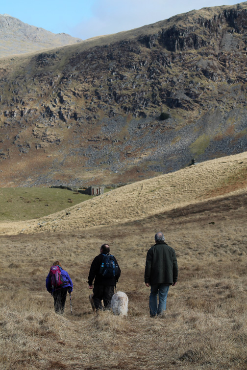
Ian now led us up the slope, heading for Boat How . . . Ann and Mike following a short distance behind.
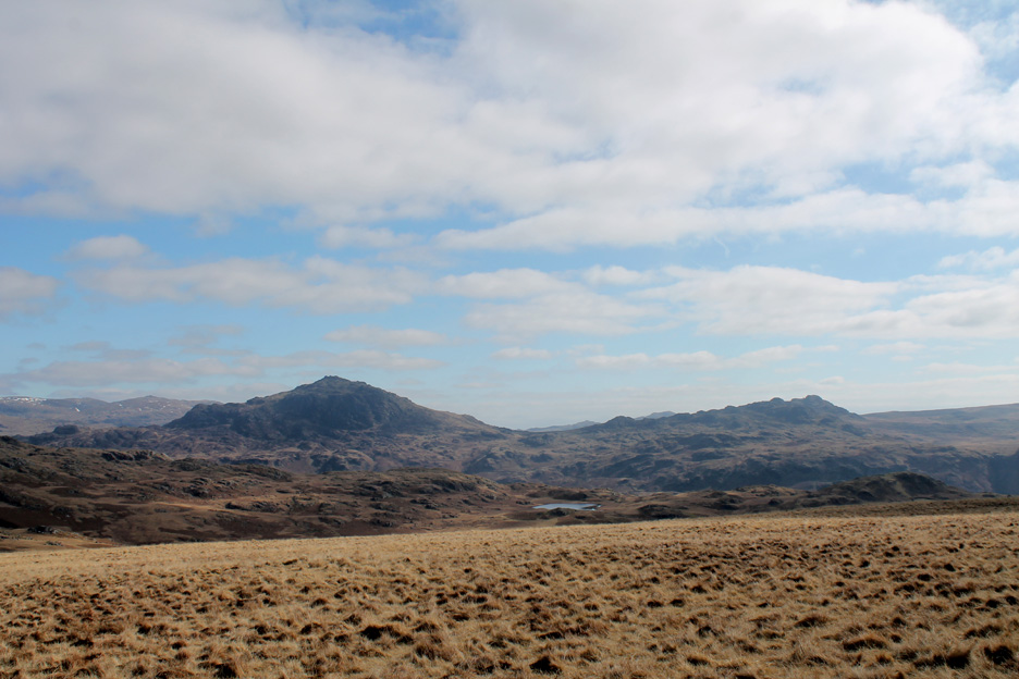
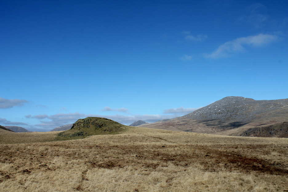
Reaching the ridge the views opened out to reveal Harter Fell and Green Crag on the other side of Eskdale. From the summit the view was superb as the weather had almost completely cleared.
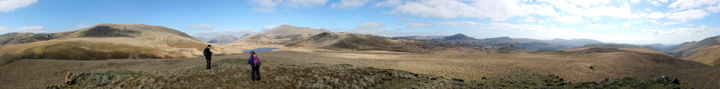
Click here or on the photo above for a Loweswatercam 360 degree annotated panorama.
Time for lunch . . . for two of us. We had brought sandwiches . . . Ian and Mike were looking forward to a late lunch at the Brook House !
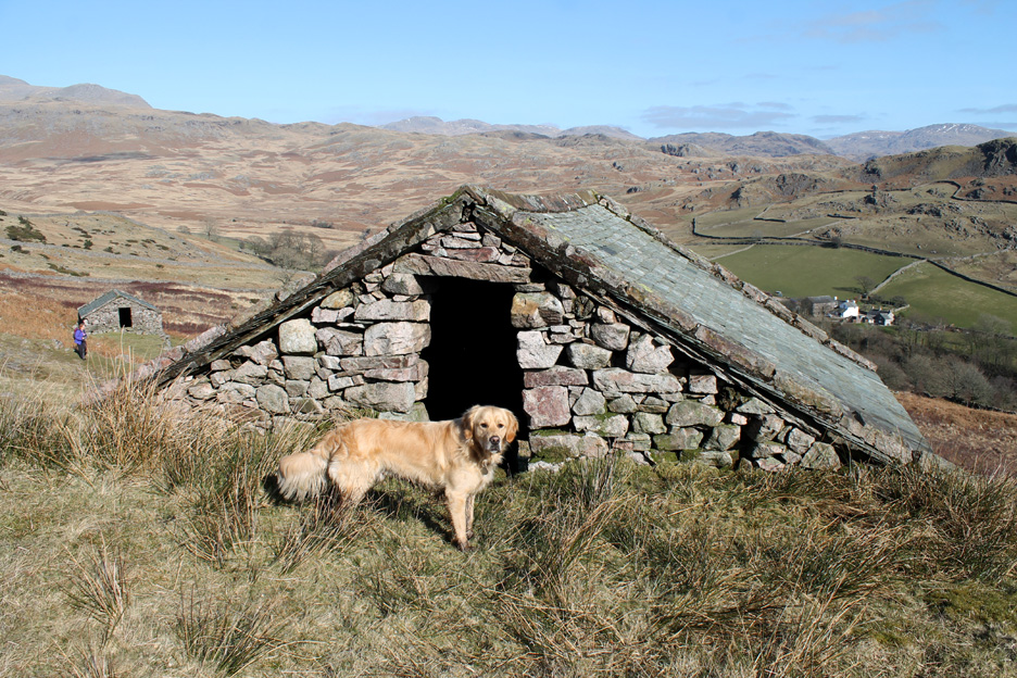
Boat How as we left . . . the name deriving from its appearance as an upturned boat perched on the moorland peak.
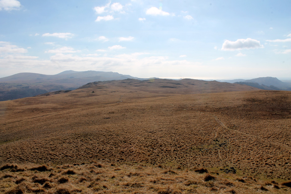
Ahead lay the steady walk down the track across Eskdale Moor. We're heading for that dark triangular outcrop of rock to the left of centre of the picture.
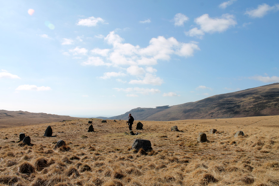
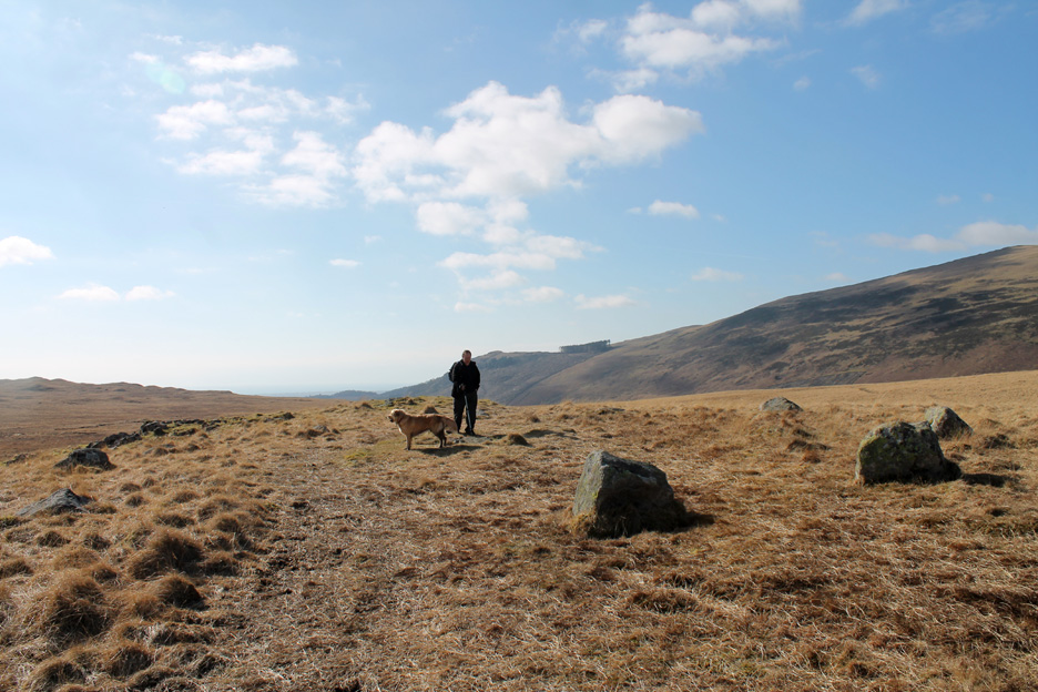
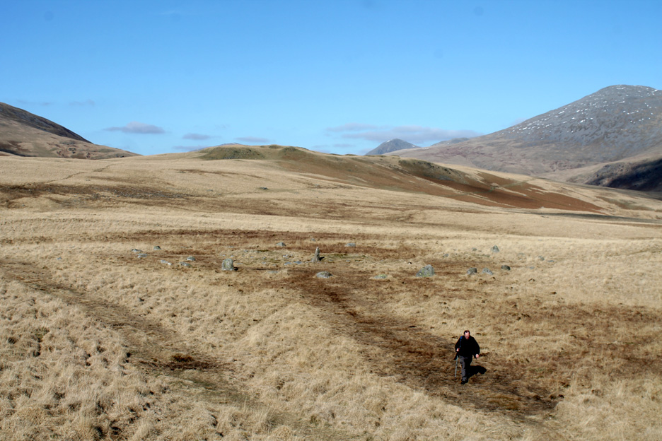
This area of the moorland is famous for several stone circles . . . Ian stands in the first.
A second lies just beyond, the map showing four or five in all.
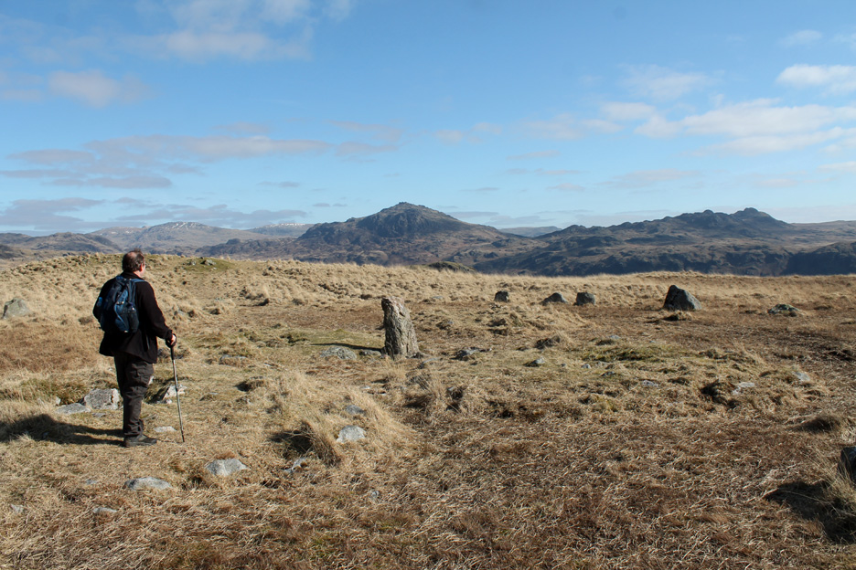
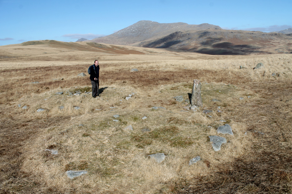
Back to the third, this one with a much more prominent central stone.
This also had three distinct grassy mounds within it. They were either burial mounds or hut circles, old collapsed walls of pre-history dwellings.
Standing on the top of that outcrop to take in the bigger picture.
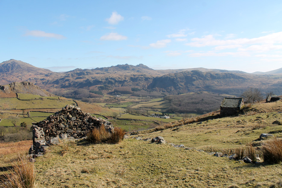
Onward and downward . . . our next landmark were the peat huts at the head of the track down to Eskdale.
These were used to store (and dry) cut peat from the moorland before it was taken down to the valley for use as domestic fuel.
Each hut featured a raised bank and top entrance which was used to load in the turf. When required the peat was extracted from a lower doorway on the opposite side.
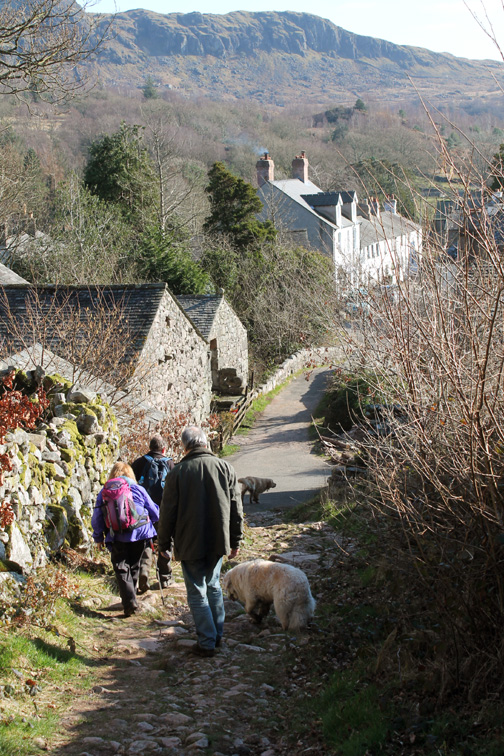
The peat road, a rough track that we followed, took us down to the village of Boot.
Steep slopes and sweeping curves would have allowed the pony and cart to descend safely. The bridleway from Wasdale to Boot (via Burnmoor Tarn) joins the peat road at the gateway on the left of the picture.
At the bottom of the slope an old ruin has greater significance than one would have thought. The wall and level area in front of the building was the final station on the Ravenglass and Eskdale mineral railway, the original reason for the creation of La'al Ratti.
Hold your cursor over the picture to see the course of the old funicular railway down the hillside.
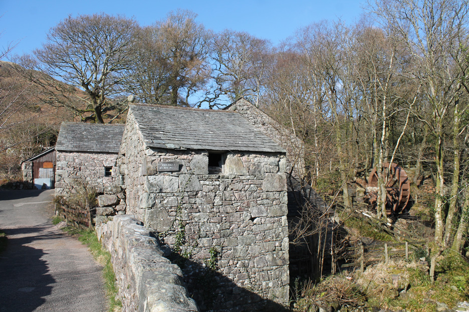
Adjacent to the Whillan Beck is the old mill at Boot. It is one of the oldest mills still capable of working, in the whole of the UK.
Hidden behind the building are the two waterwheels that drove the mill wheels. In the trees just beyond is a new (third) wheel that is being set up to provide hydro power and earn money once again.
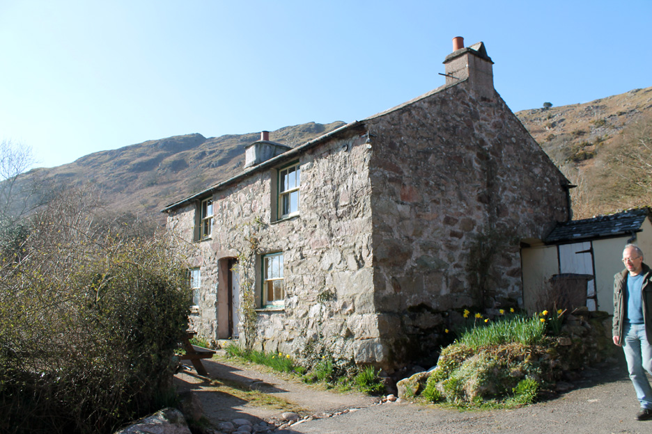
The Miller's Cottage . . . that featured in a trilogy of books by Ruth Sutton . . . well worth a read. A Good Liar, Forgive and Fallout are a series of three historical novels based around the Eskdale Valley and coastal region of Workington. They are available to buy at Dalegarth Station, the internet and good bookshops locally.
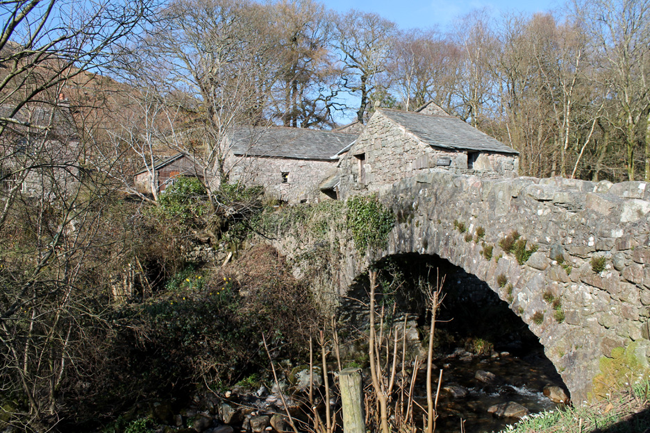
A final look back at the bridge at Boot Mill.
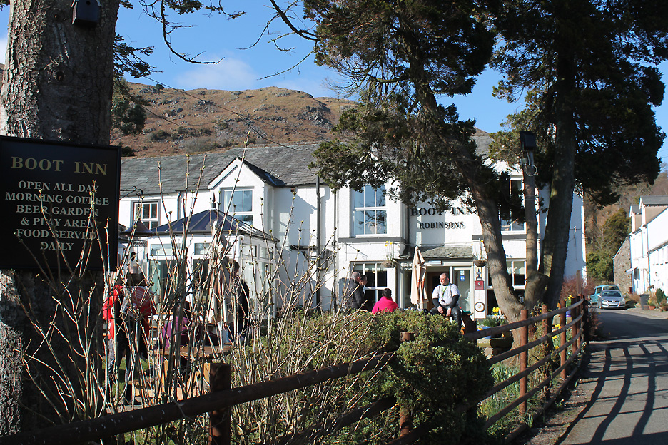
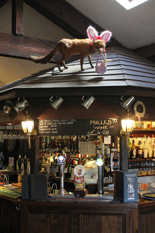
Formerly the Burnmoor Inn when we first knew it . . . now called the Boot Inn it had a good crowd this afternoon.
Brook House always serves good pub food all day.
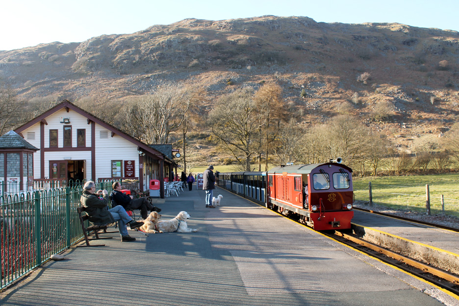
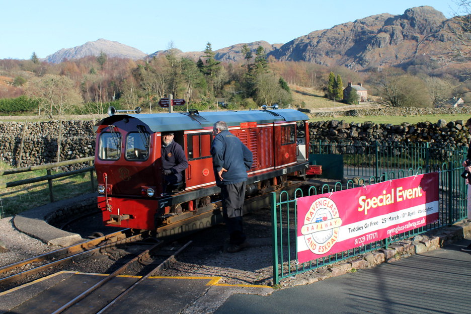
The last train of the day is often diesel hauled and today was no exception.
Slightly less romantic but still lovely to watch as the rail system swings into action.
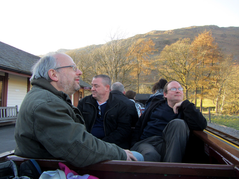
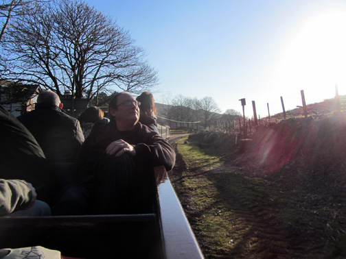
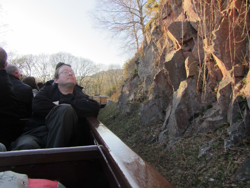
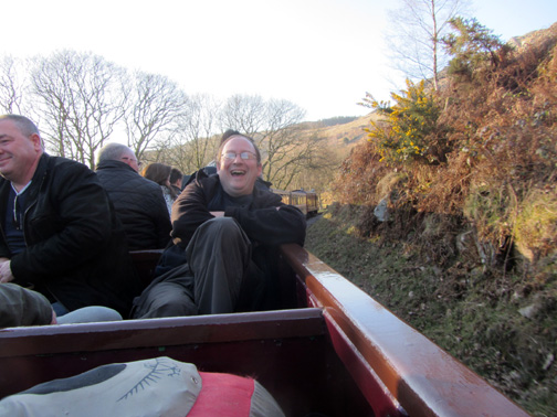
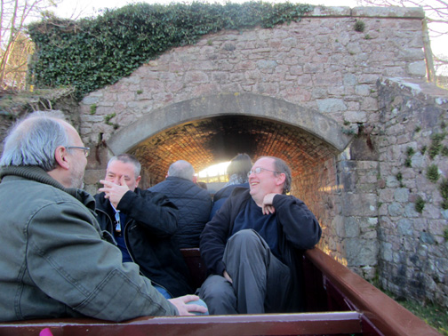
We seat ourselves in one of the open carriages for the return trip to Irton Road.
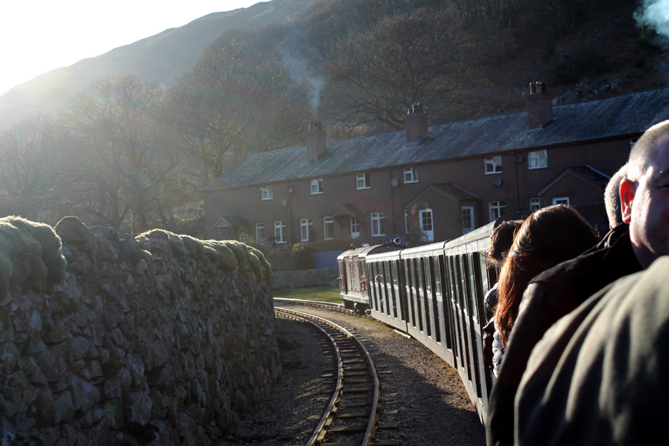
Quarry Cottages as we round the first bend after leaving Dalegarth.
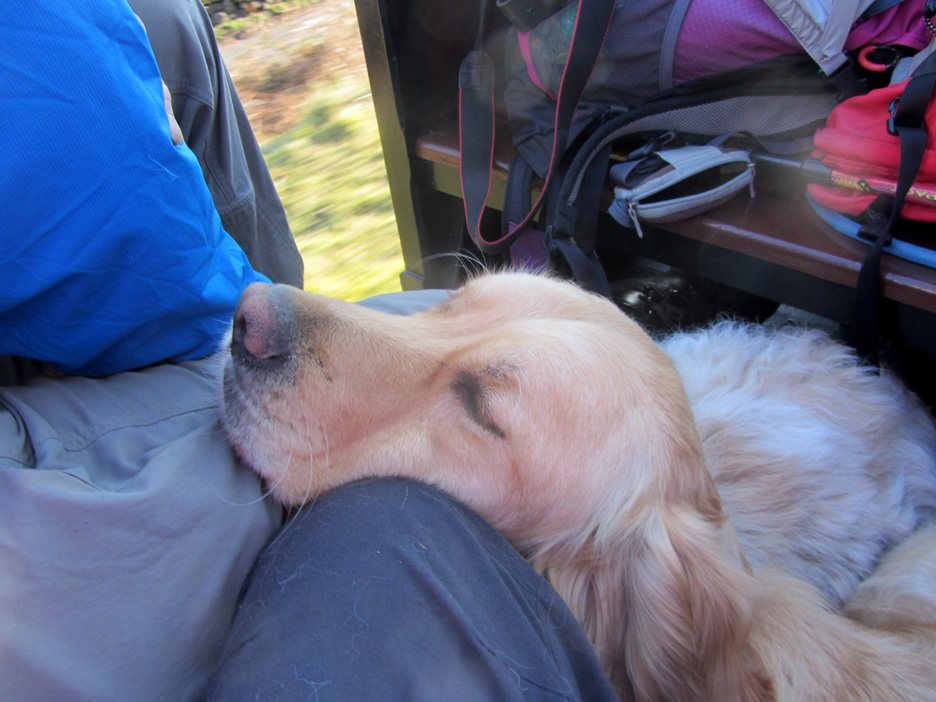
Dylan takes the opportunity of a little shut-eye.
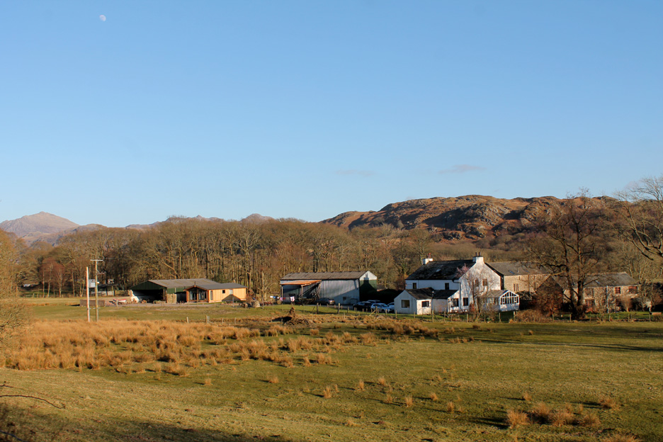
The late afternoon sun gave us lovely views on the way back down the valley, here passing the farm buildings of Fisher Ground.
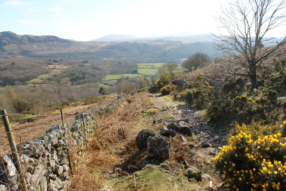
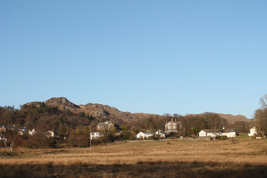
Passing Eskdale Green and the crags of Fell End above the village.
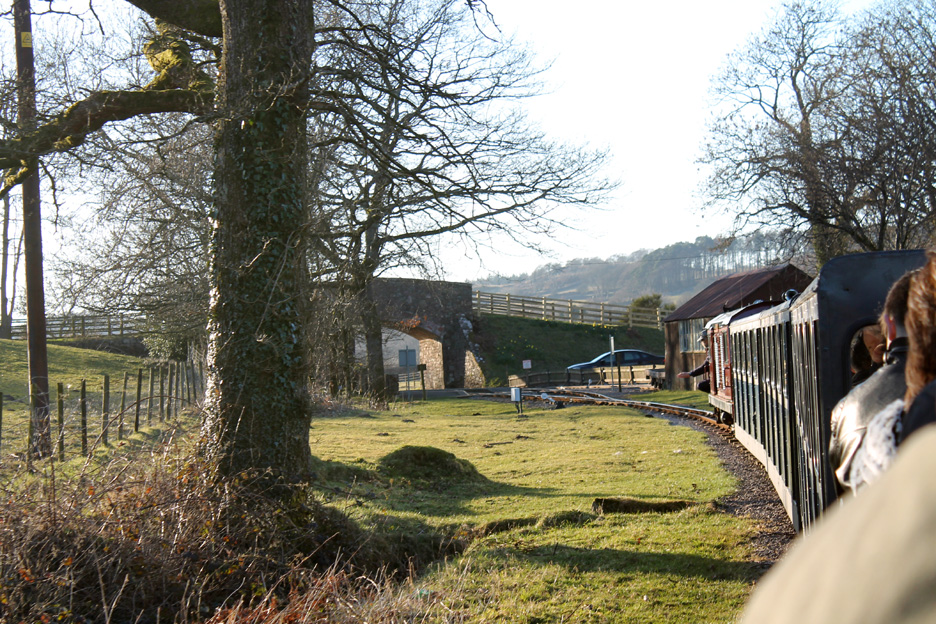
The driver acknowledges the request to stop at Irton Road to let us get off.
A short road trip in Ian's car to fetch mine and it's all over but the drive home. A day out on the more minor valleys and fells of Eskdale . . . but an an excellent one all the same. - - - o o o - - - |
Technical note: Pictures taken with either Ann's Canon Sureshot SX220, or my Canon 1100D Digital SLR. Resized in Photoshop, and built up on a Dreamweaver web builder. This site best viewed with . . . a bird book and a railway ticket. Go to Top . . . © RmH . . . Email me here Previous walk - 17th March 2016 - Talkin Tarn and the Roman Wall A previous time up here - 8th April 2010 The Screes and Miterdale Next walk - 25th March 2016 - St Bees Head and Fleswick Bay
|