![]()

Remember: Press F11 for a full
screen view of this page.
|
|
|
Remember: Press F11 for a full
screen view of this page. |
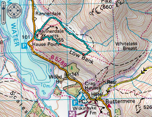
| " A Cold but dry Rannerdale Knotts " Date & start time: Monday 11th January 2016 m start. Location of Start : Hause Point car park, Rannerdale, Cumbria, Uk ( NY 163 184 ) Places visited : Rannerdale Knotts, Squat Beck and back, with later pics from home. Walk details : 2.2 mls, 950 feet of ascent, 1 hour 45 mins. Highest point : Rannerdale Knotts 1,160ft - 355m. Walked with : Ann and our dogs, Harry and Dylan. Weather : Dry but cold with a cold winter breeze. |
© Crown copyright. All rights reserved. Licence number PU 100034184. |
|
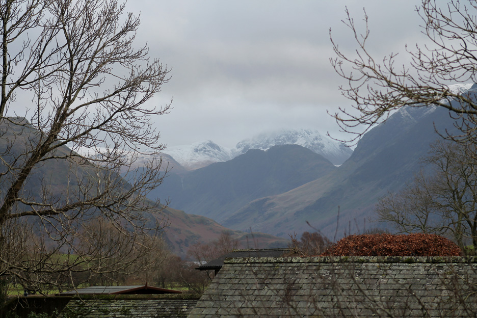
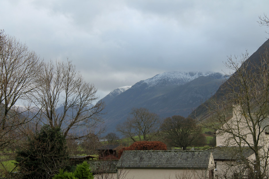
A break in the weather and so we can extend the dog walk to include a local summit. The wind has changed to a northerly and it has become much colder. The rain is less frequent but showers have turned wintery, with snow on the high fells.
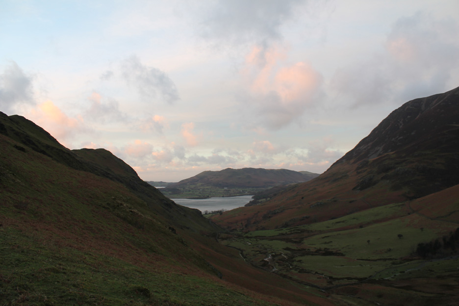
There's a view up the valley today and Rannerdale Knotts on the left hand side seems to be calling.
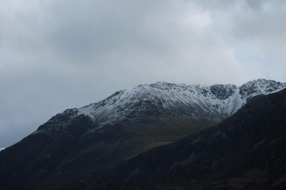
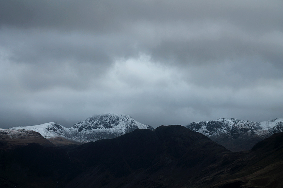
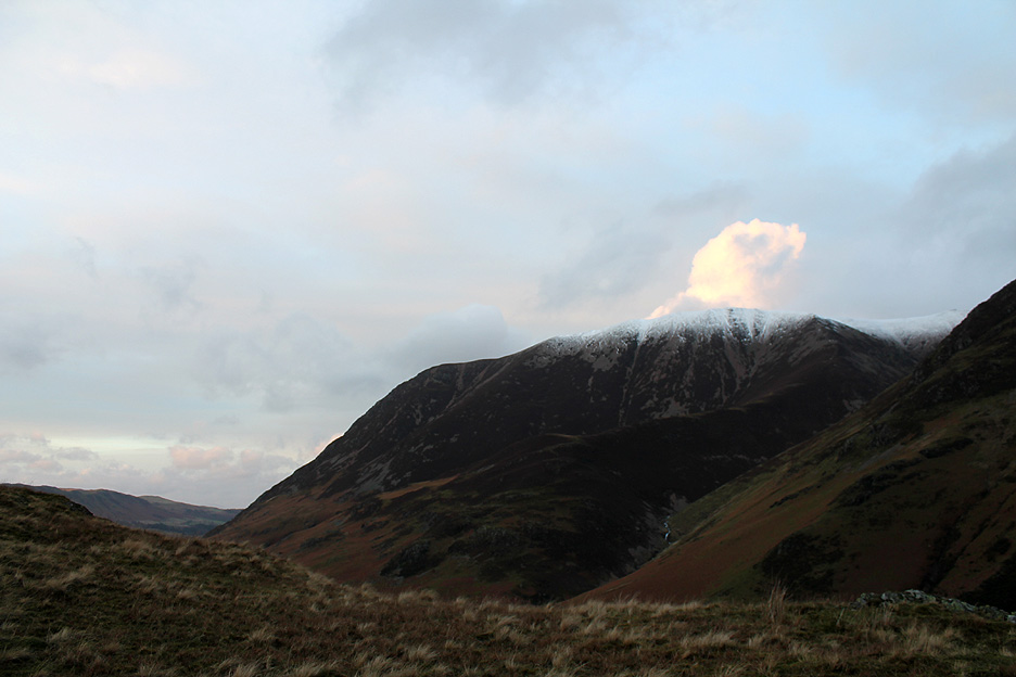
The High Stile Ridge has a damp topping of snow from the overnight, rather sleet-filled showers.
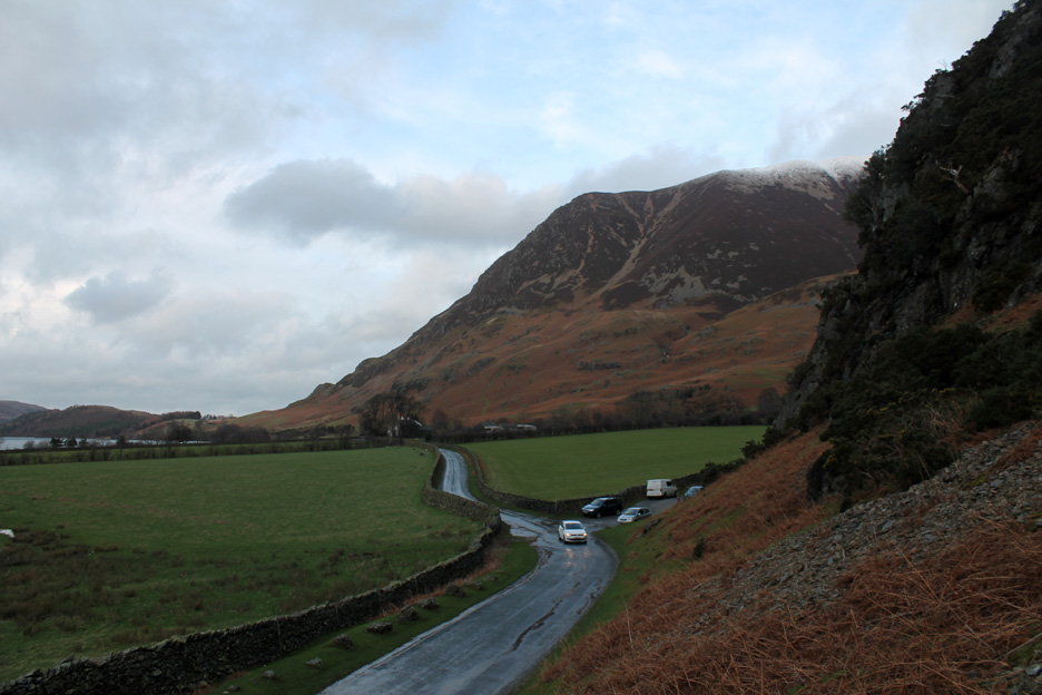
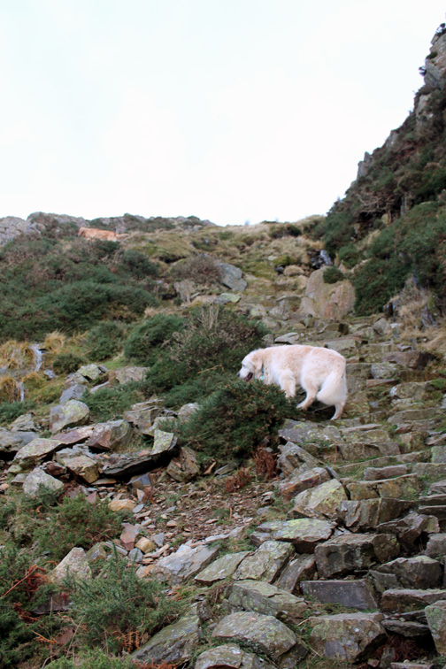
A short while later we are kitted up in warm clothing, hat, gloves and warm buff and starting the climb.
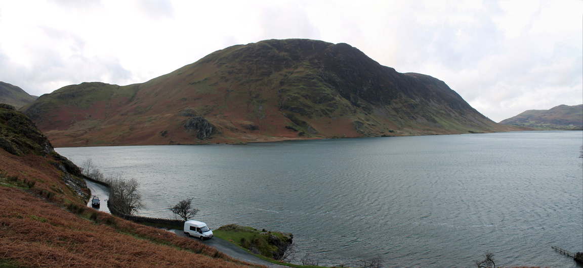
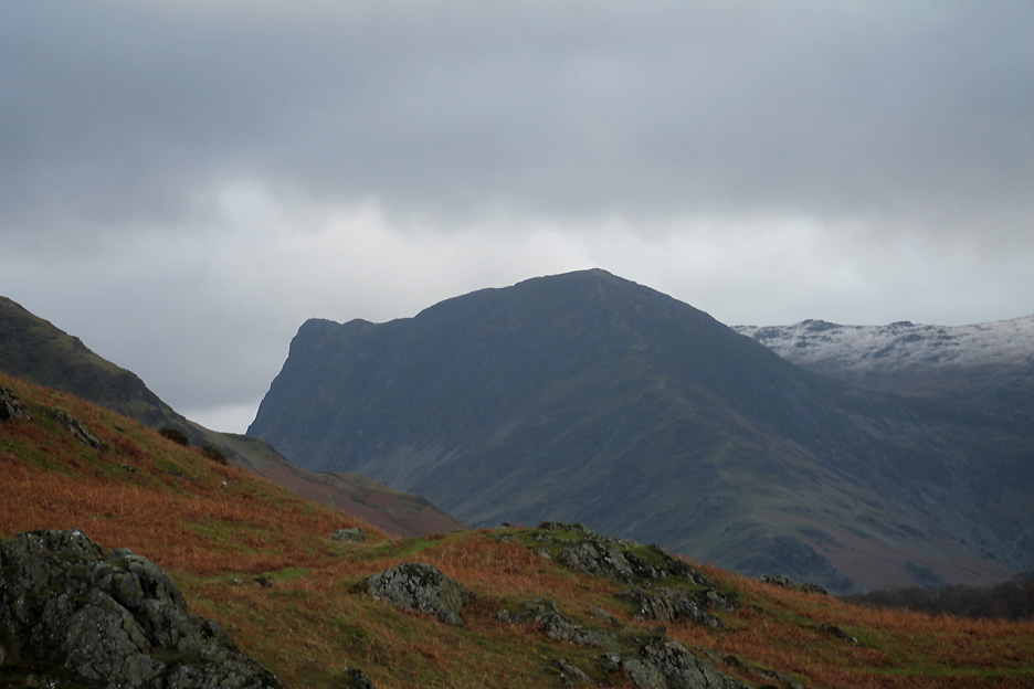
The side profile of Mellbreak across Crummock Water.
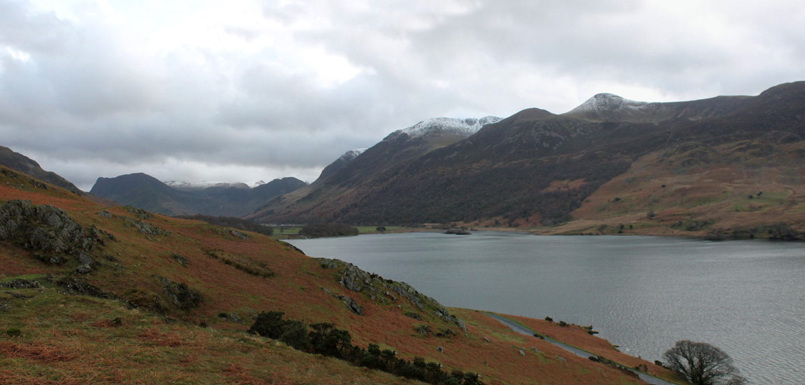
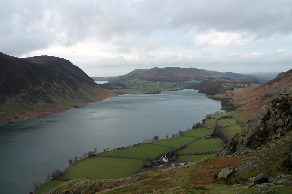
Rounding the first knoll and the view south east up the valley comes into view. Under Haystacks there's the first glimpse of Buttermere lake.
Zooming in on Red Pike and the heather-clad corrie that contains Bleaberry Tarn.
To the left, the summit ridge of High Stile.
Haystacks is almost silhouetted against the backdrop of Green Gable, Great Gable and KIrk Fell.
The far summit of Black Star on Honister Crags with the true summit of Fleetwith Pike at the head of this closer shoulder.
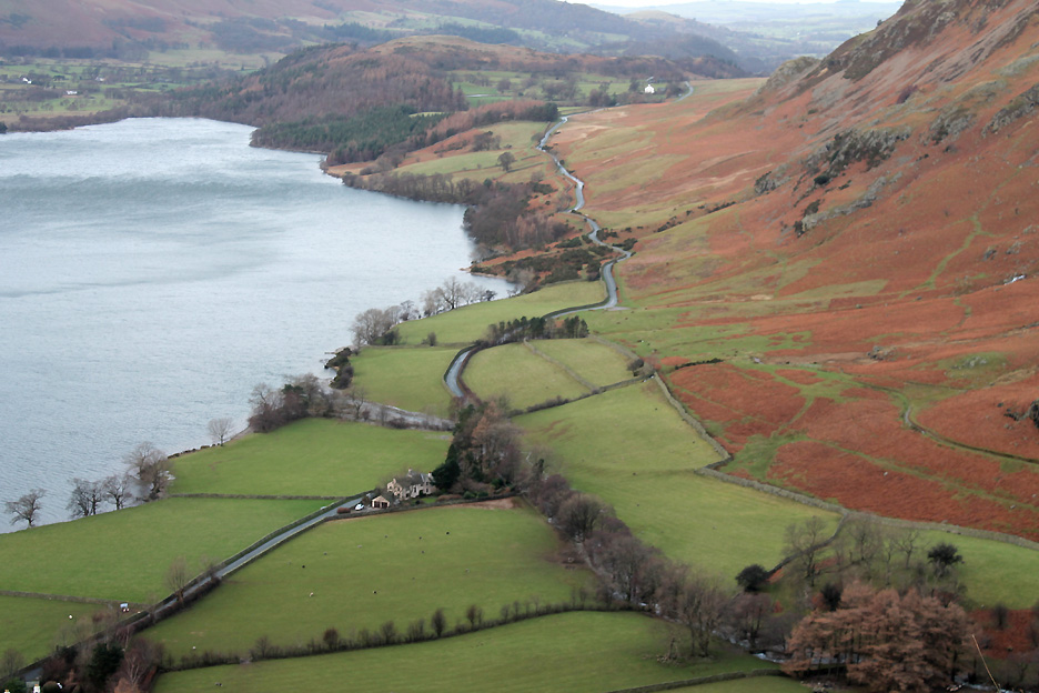
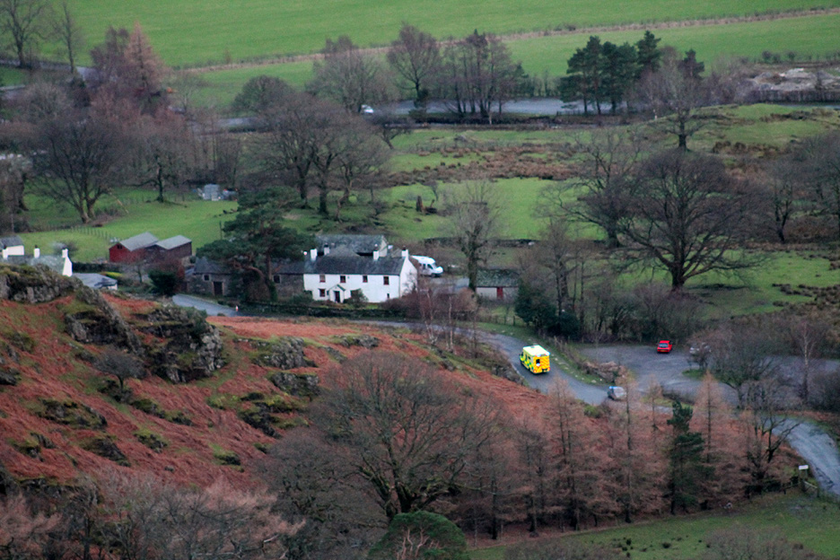
Looking down on Rannerdale Cottage by the roadside below . . . the small brown triangle in the field next to the cottage tells of the slight flooding the cottage suffered recently when the Rannerdale Beck overflowed its banks.
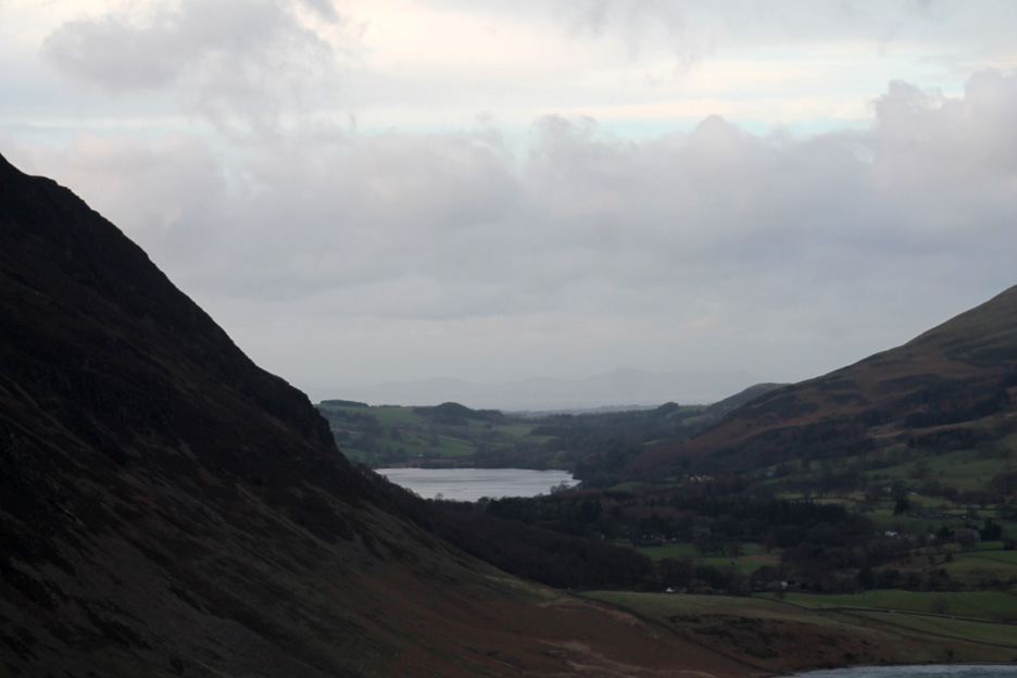
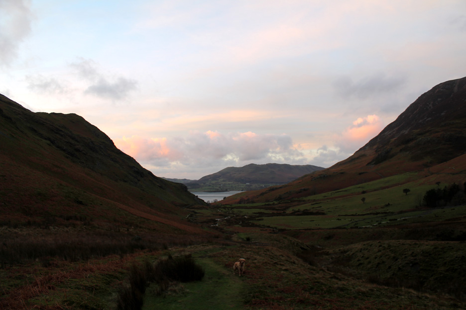
As we climb so Loweswater itself comes into view.
Zooming in, you may be able to make out the faint outline of the Scottish hills behind.
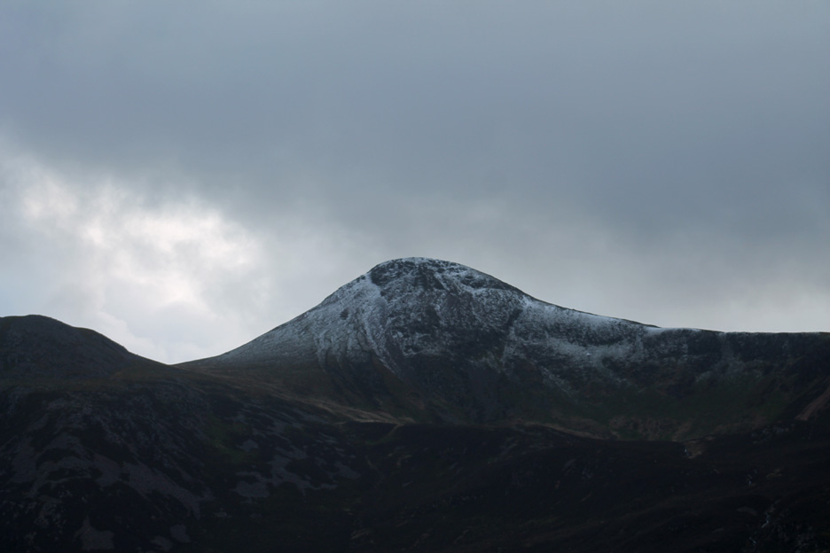
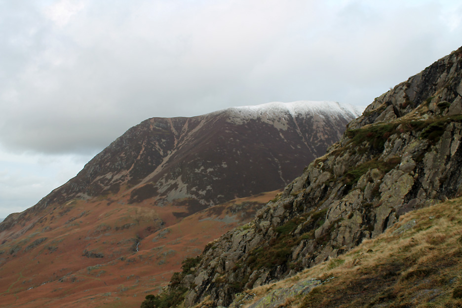
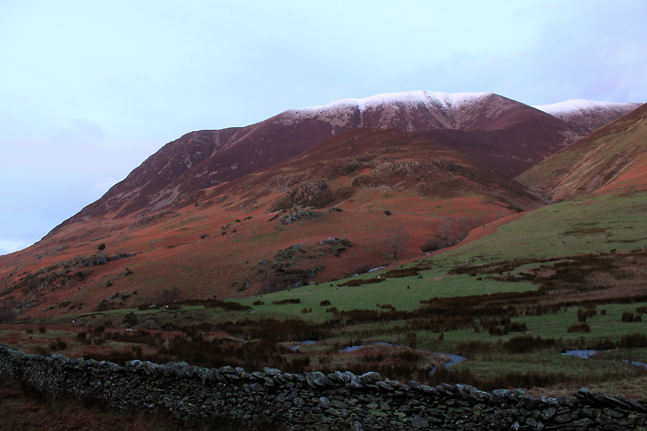
White-topped Grasmoor . . . I imagine it will be even colder up there.
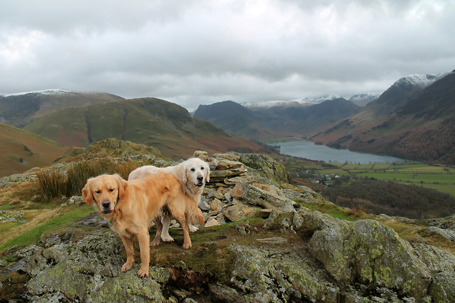
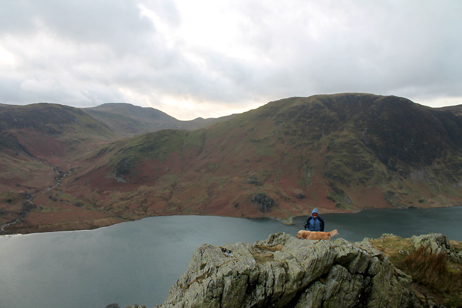
At our highest point of the day . . . Dylan and Harry on Rannerdale Knotts summit.
Ann includes the viewpoint over the lake in her path to the top.
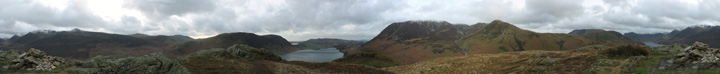
This gives me time for an all-round summit view. Click here or on the photo above for a super-value, big bonus 380 degree Loweswater annotated panorama.
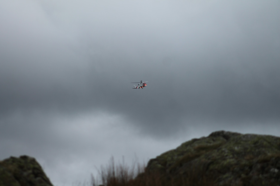
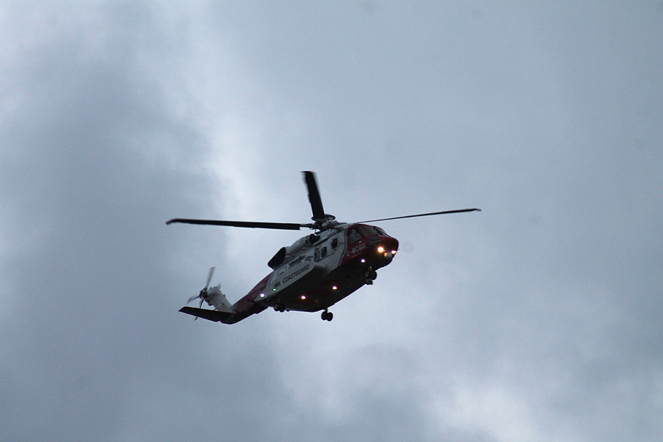
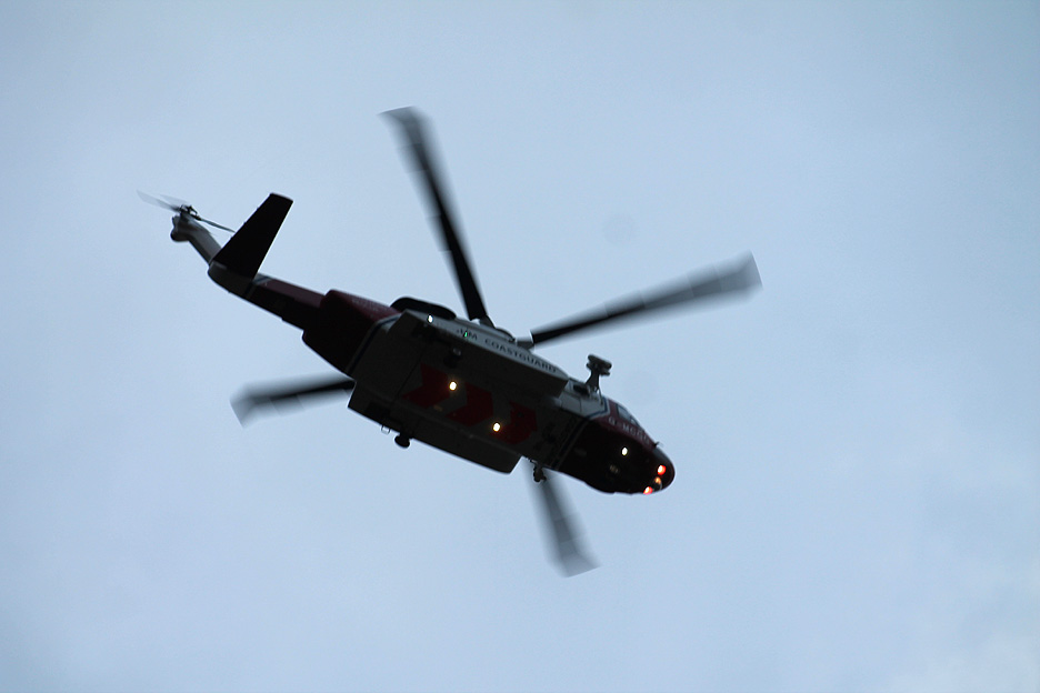
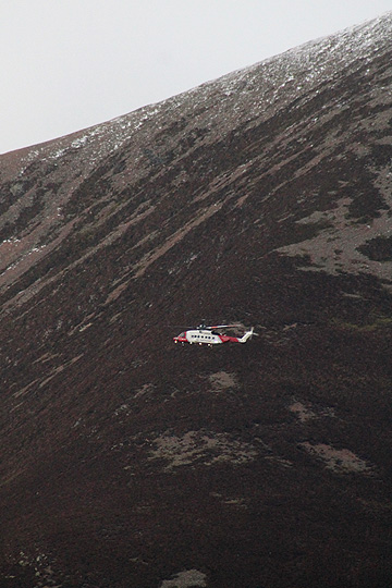
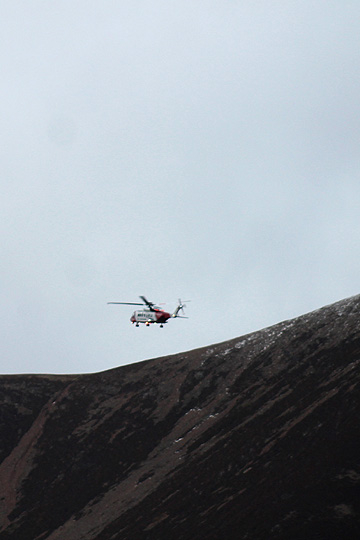
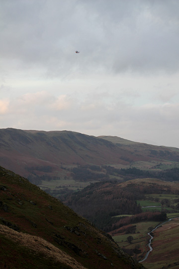
The sound of a helicopter . . . but slightly differently pitched from normal. Soon we can make out the well-illuminated, new Bristow's Coastguard Rescue helicopter out on a mission.
This newer and larger rescue helicopter replaced the familiar yellow Sea King fleet. (right click the link to open in another window)
This is the one of the new Bristow's Sikorsky S-92 Search and Rescue helicopters.
There's been no reports on the Cockermouth MRT site yet, so maybe it was a practice run ?
The skies clear and silent once again . . . as the late afternoon sun highlights a high cloud above and behind the summit.
Down below we hear the sound of another emergency vehicle as an ambulance makes its way up the valley . . . it's all go this afternoon.
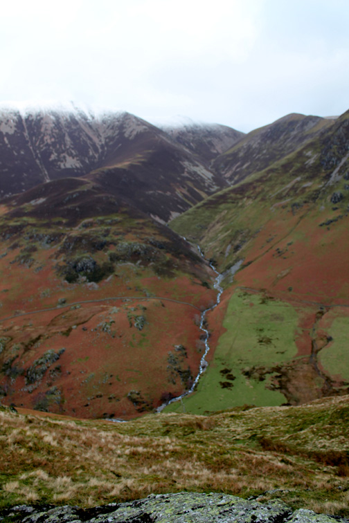
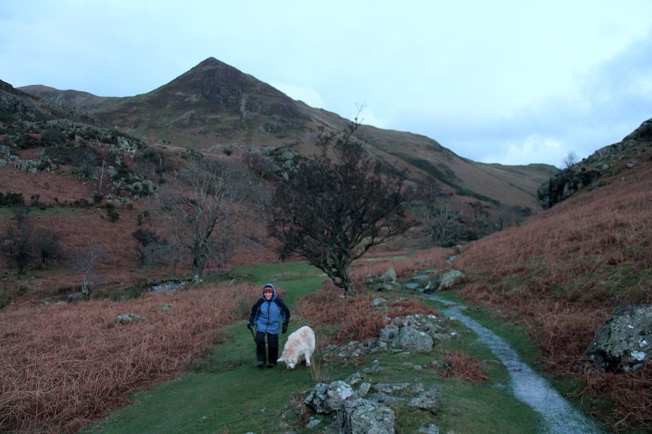
Half way along the ridge we take a left and cut down into Squat Beck Valley . . . time to be heading home.
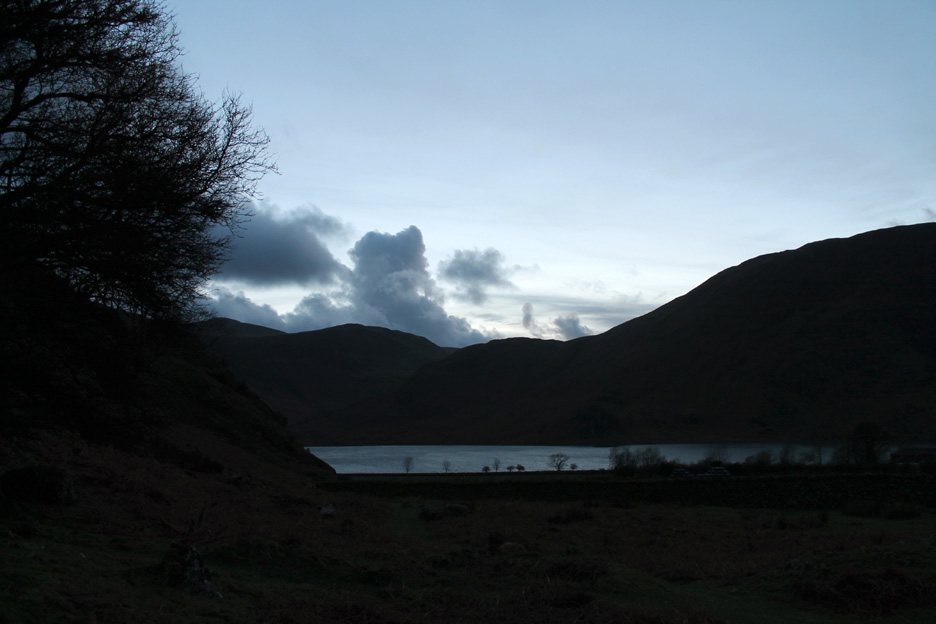
Slightly darker now as time moves on and the afternoon draws to a close.
The watery sunset casts a pink hue on the fell sides which exaggerates the colours of the bracken and the granite screes on the side of the fell.
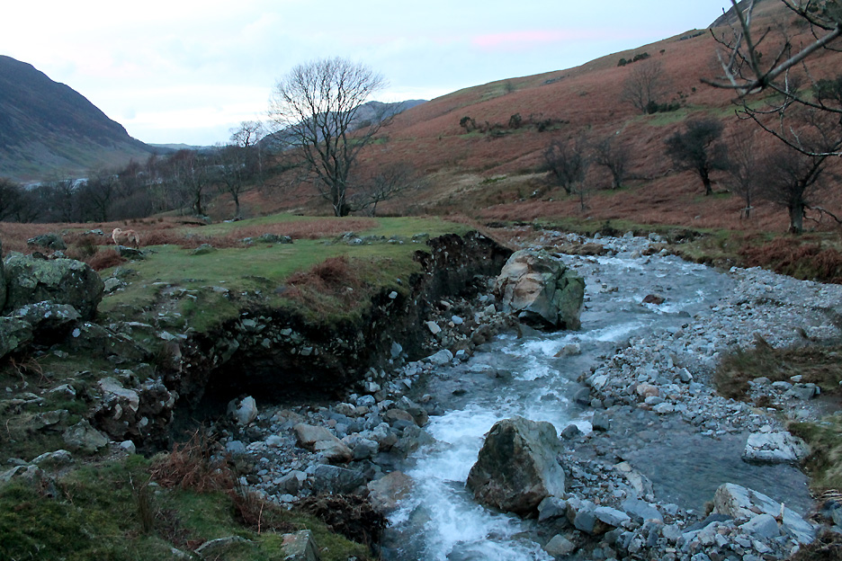
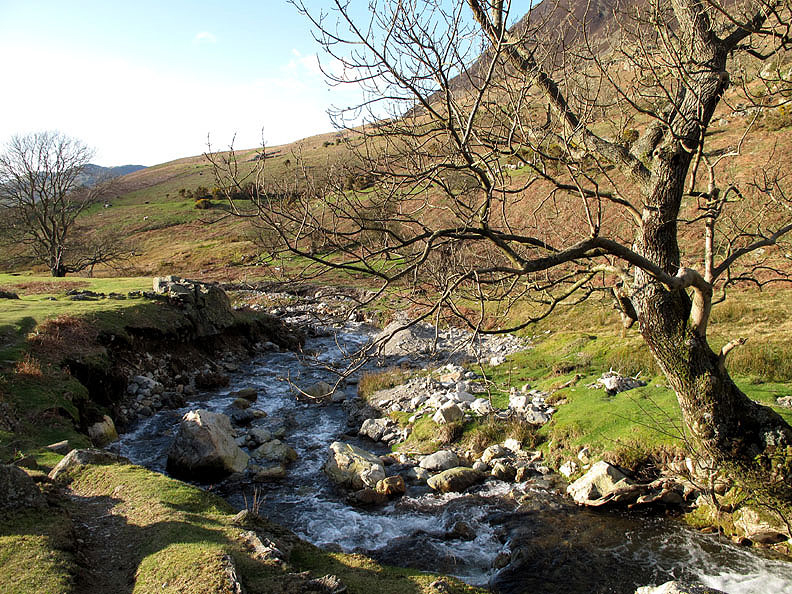
Recent heavy rain, including the Storm Desmond event have caused even more erosion of the upland valleys. No wonder there was so much stone on the roadside by the lake, a whole new chunk of bank has been scoured out and the large (50 ton?) boulder has toppled into Rannerdale Beck.
This was the same place taken in April 2011 after the devastation of the 2009 floods was starting to be hidden by new vegetation.
With any possible warmth from the sun long gone we cross the bluebell fields. Recent consistent wet weather has even filled the old mill leat with water even though it is not connected to the river at the top end.
Perfect timing as we near the car before the light fades. - - - o o o - - - All is not doom and gloom in the valley of late though . . . the weather is generally getting less damp.
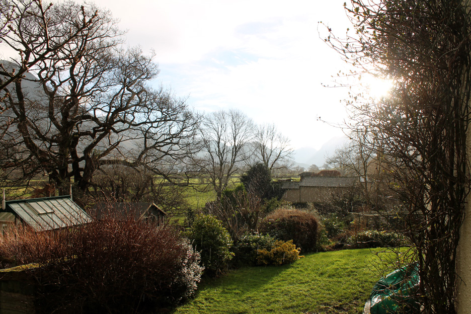
We have had days when the sun has made an appearance . . . On Tuesday 12th, out the front of the cottage, the sun shone strongly down the valley.
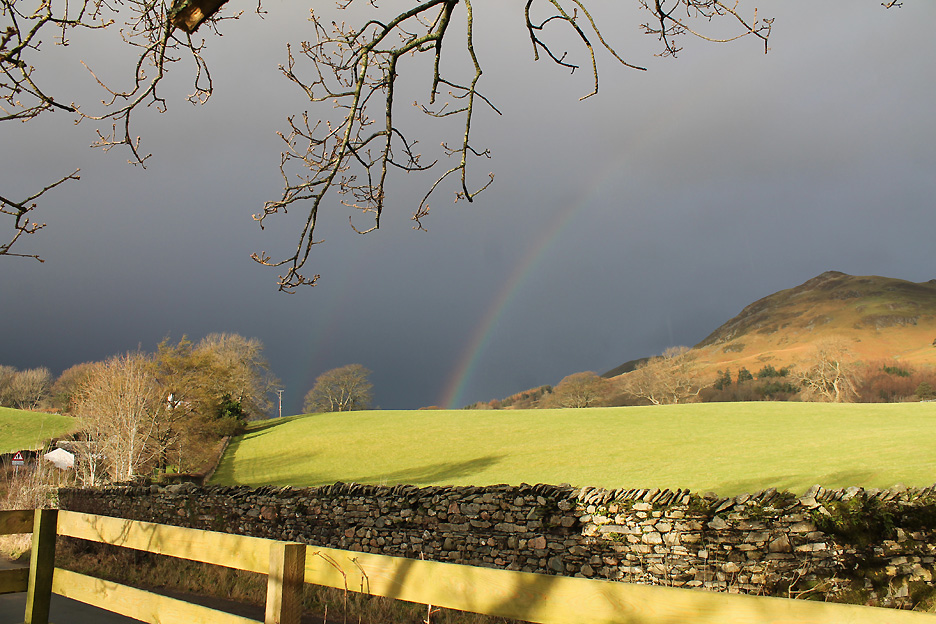
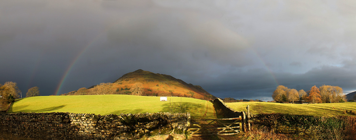
Out on the roadside though there's a dark grey sky. Bright sunshine and passing rain clouds mean the potential for rainbows of course . . . and today was no exception.
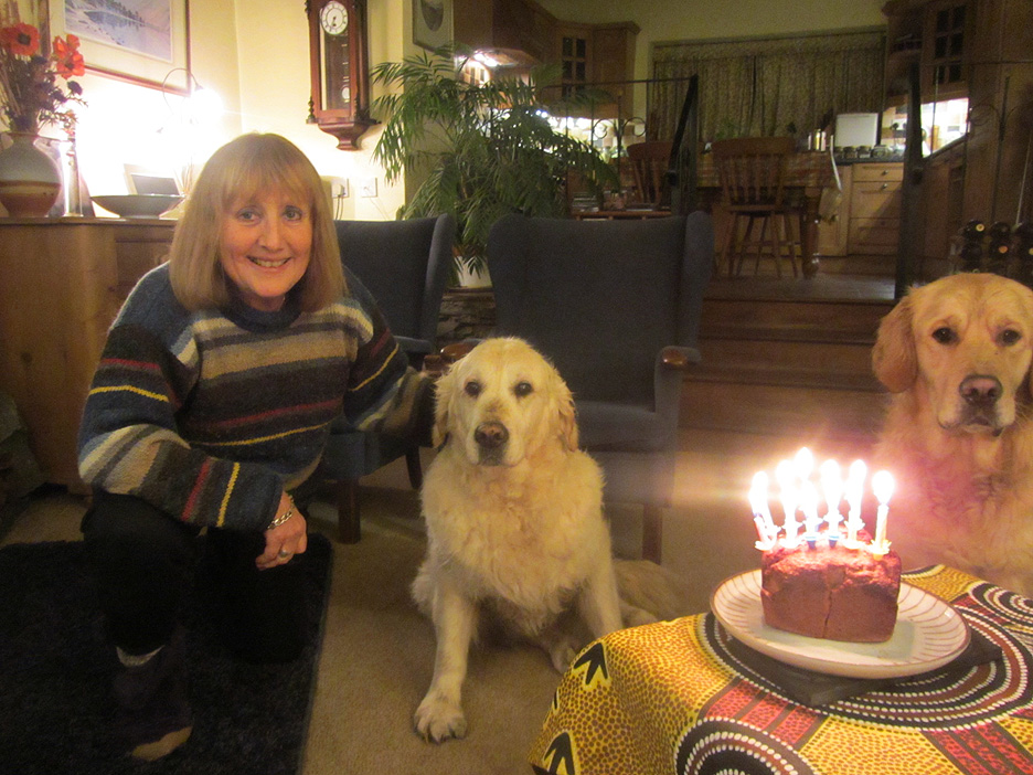
A stitched together set of three allows me to capture the whole rainbow . . . no standard lens will capture the full arc in one go. - - - o o o - - - Wednesday 13th, the following day, and it is a birthday celebration for someone.
Harry was 12 years old today, and we celebrate with a dairy-free banana cake with the appropriate number of candles. - - - o o o - - - |
Technical note: Pictures taken with either Ann's Canon Sureshot SX220, or my Canon 1100D Digital SLR. Resized in Photoshop, and built up on a Dreamweaver web builder. This site best viewed with . . . the prospect of candles and cake again next week. Go to Top . . . © RmH . . . Email me here Previous report - 10th January 2016 - Village Hall & the Tethera Players A previous time up here - Thurs 13th October 2011 Rannerdale with Maggie Next walk - Low Fell and the 1st Snow of 2016
|