![]()

Remember: Press F11 for a full
screen view of this page.
|
|
|
Remember: Press F11 for a full
screen view of this page. |
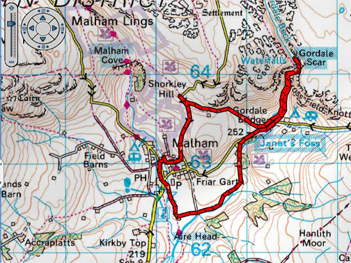
| " Janet Foss and Gordale Scar " Date & start time: Monday 28th Sept 2015, midday start. Location of Start : Beck House Country Hotel, Malham, Uk ( SD 901 630) Places visited : South out of the village, along to Janet's Foss, Gordale Scar and back. Accommodation : Beck Hall, Yorkshire Dales Hotel & Bistro, Malham Walk details : 4 mls, 800 feet of ascent, 3.5 hours leisurely walking. Highest point : Top of waterfall in Gordale Scar, 975 ft - 300 m. Walked with : Ann and our dogs, Harry and Dylan. Weather : Fine and dry, slightly overcast clearing to a bright blue sky.
|
© Crown copyright. All rights reserved. License number PU 100034184. |
|
On Day Two in Malham we chose to walk a popular track that gives access to two local landmarks. Janet's Foss and Gordale Scar, like Malham Cove are classic places to visit but ones we did not do (looking back in the old photo albums) on our Malham visit in 1981. Time to put that omision to rights.
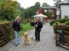
Leaving our accommodation at Beck Hall after a fine breakfast and a leisurely morning.
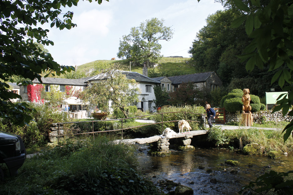
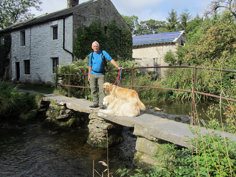
Just about room for three to stop for a photo on the clapper bridge.
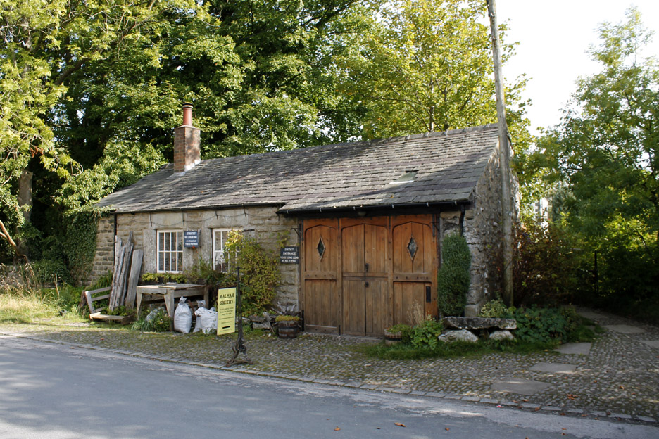
Walking down through the village . . . The old Blacksmith's Forge was open for visitors on Saturday but has not been open since.
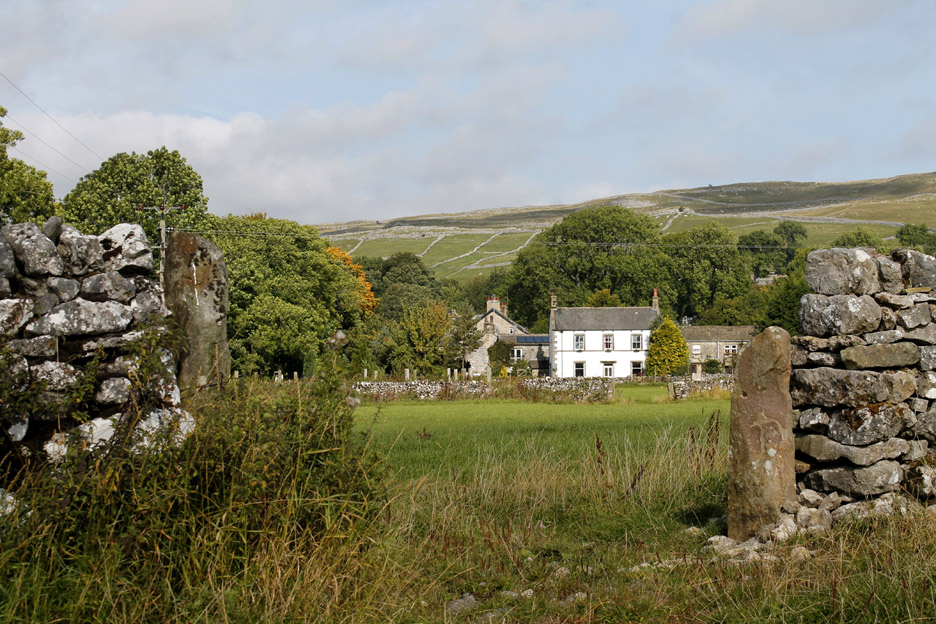
We started south on the Pennine Way, here looking back at the last house in the village.
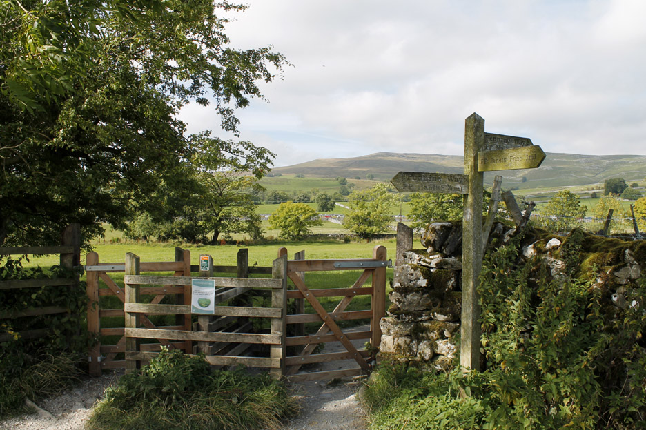
Must be a busy pathway, there's two separate kissing gates . . . a dual carriage way of paths.
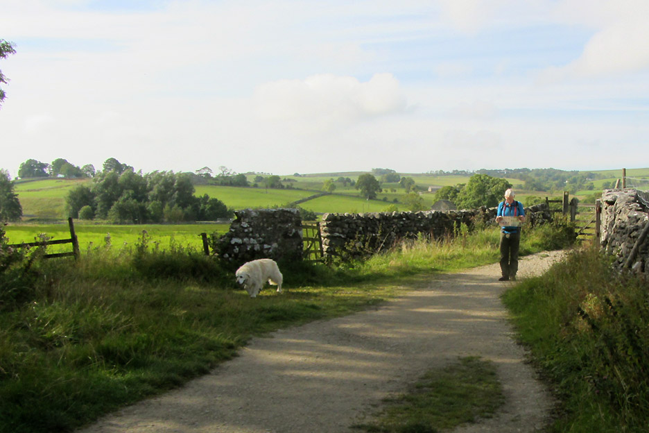
We're heading for Janet's Foss . . . which is somewhere up here !
Normally I take a panoramic view from a summit . . . here we have a low level 360 degree view. Click here or on the photo above for a Loweswatercam 360 degree annotated panorama.
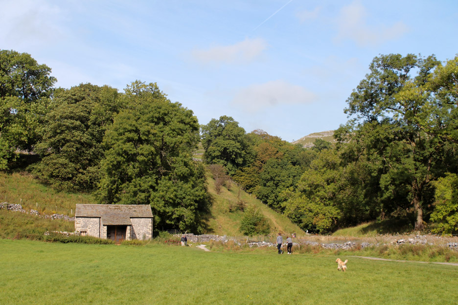
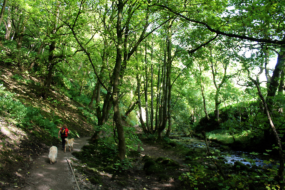
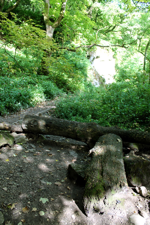
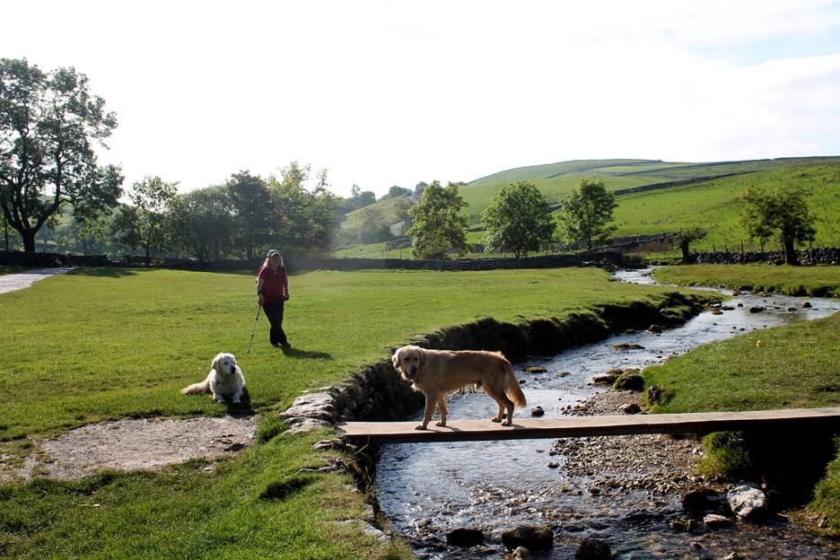
Following Gordale Beck upstream towards a narrower gorge full of trees.
A whole different sub-climate here within the woods . . . cool on a fine day.
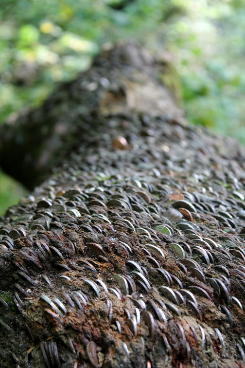
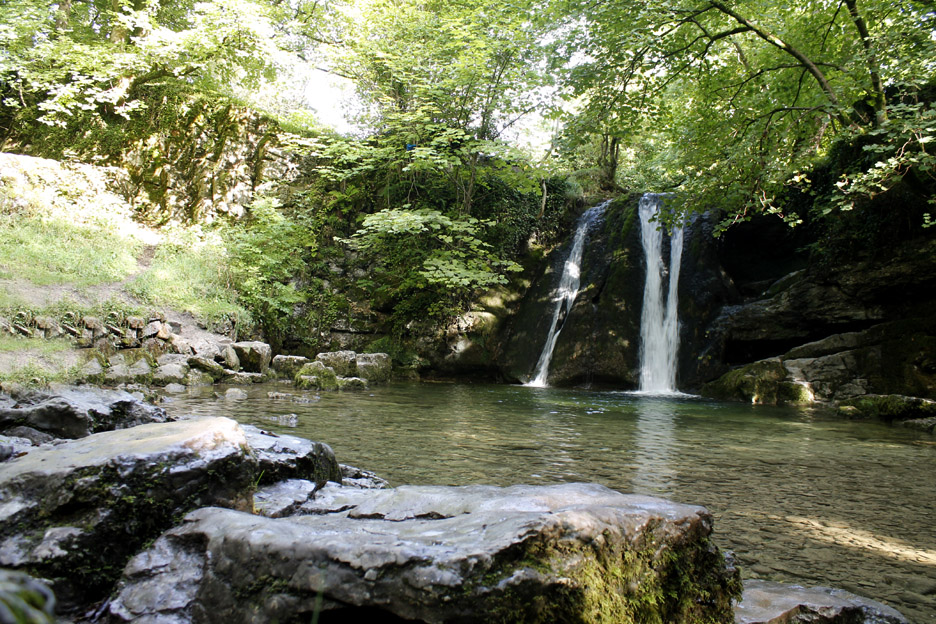
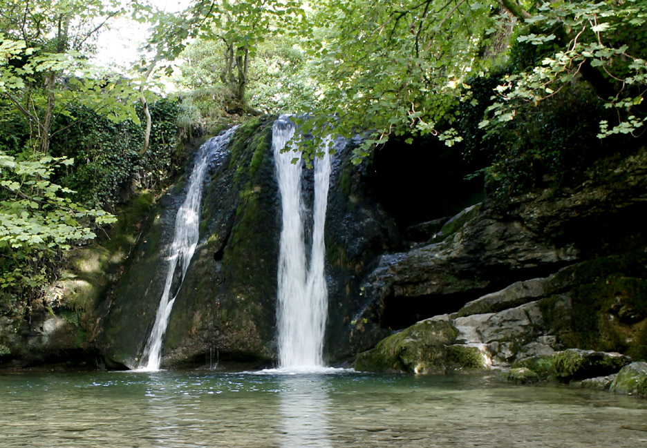
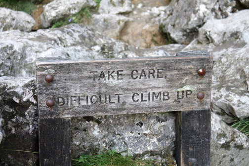
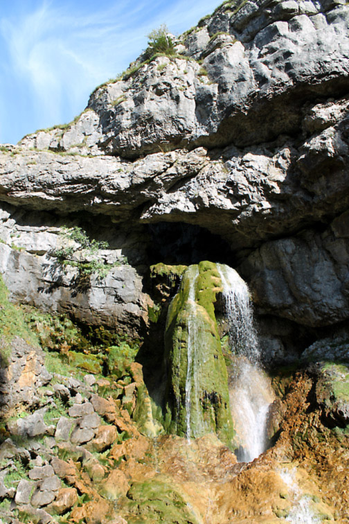
Hammer in a coin / make a wish . . . I suppose it is no different to tossing coins into a fountain ?
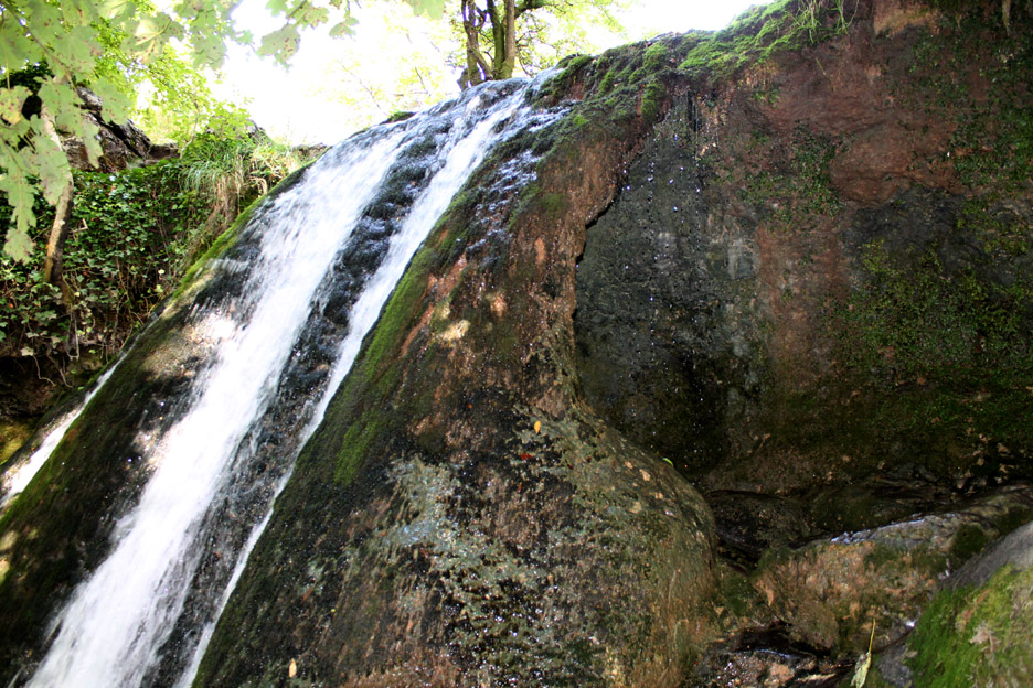
On close inspection of course the mythical cave was in fact behind the falls . . . as it said on the information board. The calcium rich water has deposited lime into the moss of the river bed and formed a complete arch or shute that the river cascades over on its way to the pool ( this is known as a tufa screen).
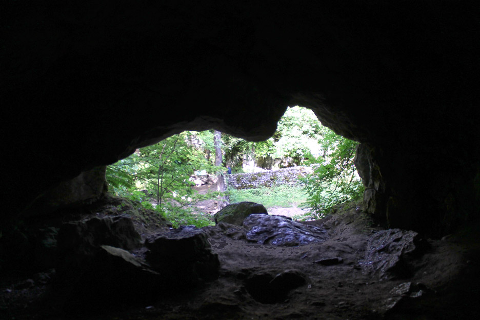
You can climb part way to the cave but not all the way without potentially damaging the soft rock structure, so we'll never know what luxuries Queen Jennet left behind in her cave behind Janet's Foss. - - - o o o - - -
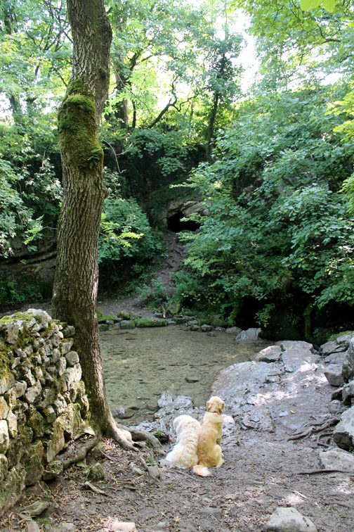
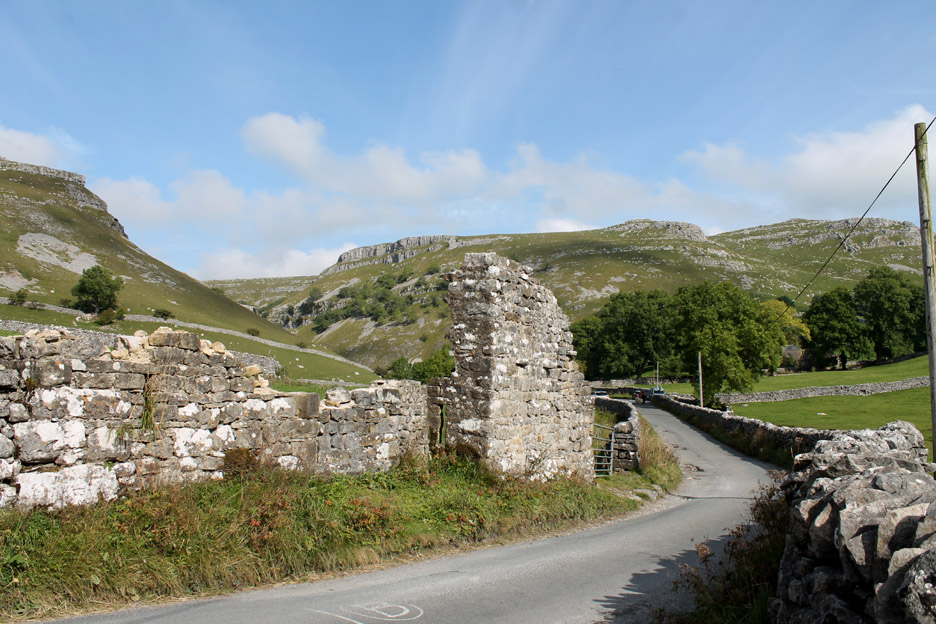
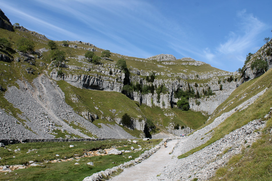
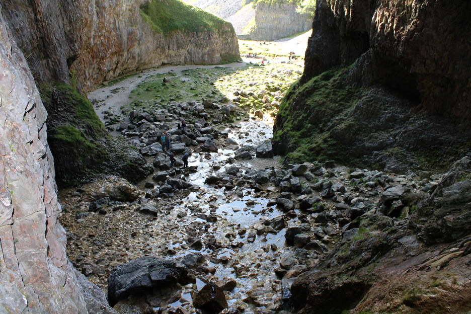
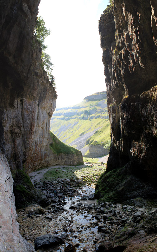
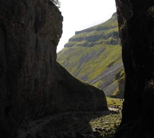
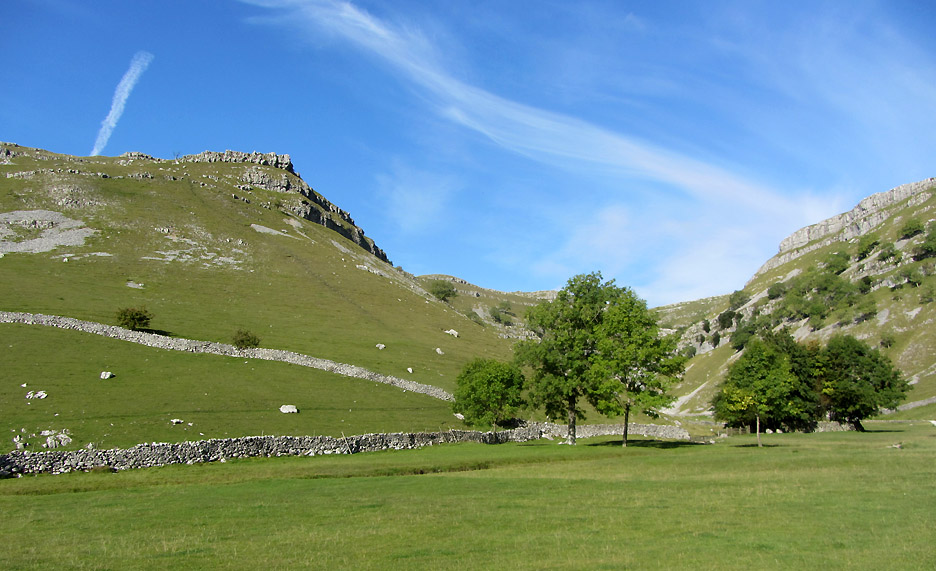
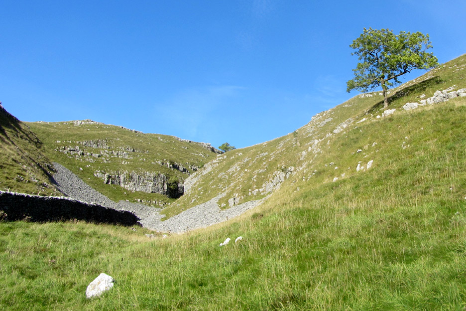
From the falls it is just a short distance to the road and the open valley once more. An old barn hides the view to the entrance of the classic Gordale Valley just a little further up the road.
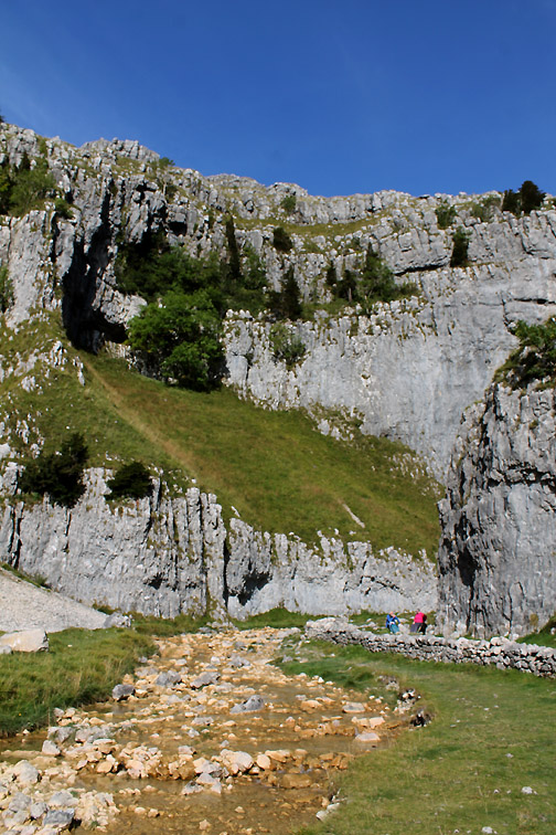
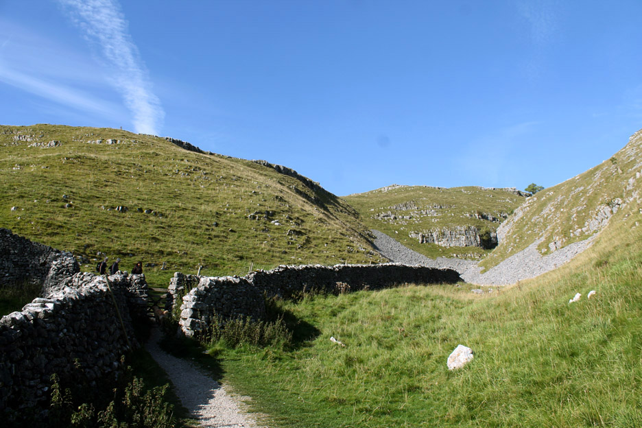
A broad path leads up through an empty campsite towards the narrower part of the valley.
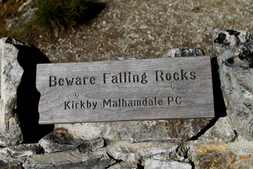
I thought is stood for 'political correctness ' but of course it means Parish Council. What exactly you should do if a rock is falling towards the top of your head is not exactly clear.
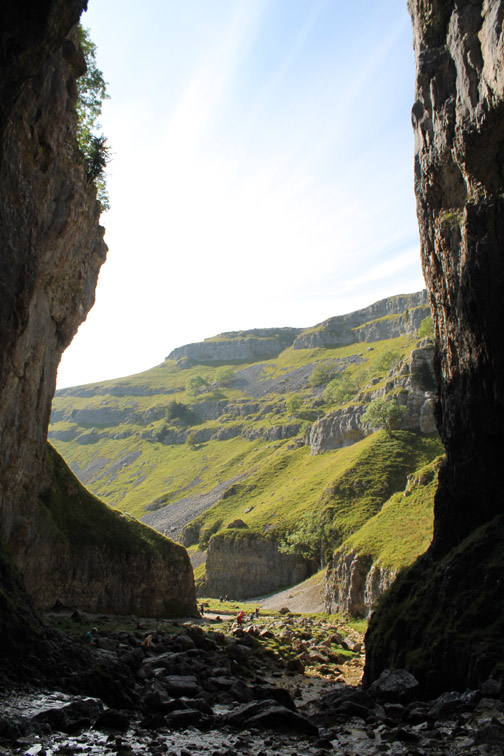
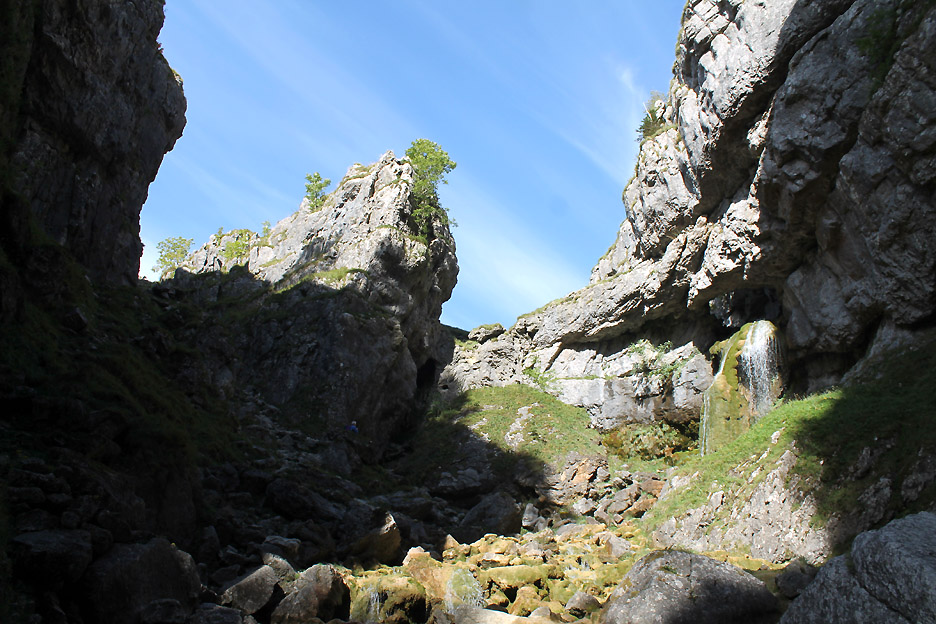
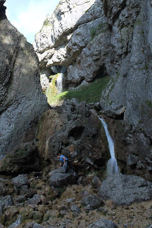
There's a tricky little scramble up the centre of the first waterfall. It is roughly thirty feet tall but relatively easy with care . . . it was dry today too which made it easier.
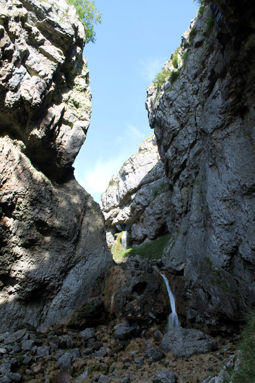
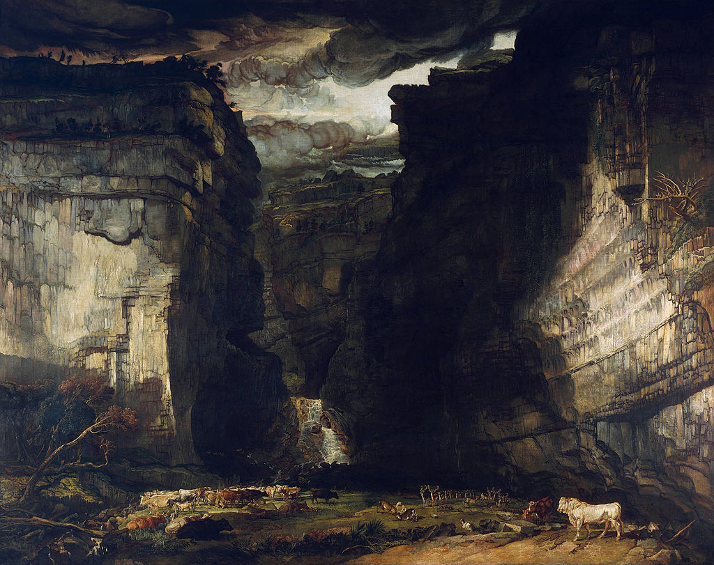
Above the obstruction there's a second waterfall, rather dramatically flowing out through a rock arch.
Painting by James Ward Perhaps I could have created a photo like that had it not been a blue-sky day.
Time to be heading onward . . . wrong path Dylan . . . we want the turning down on the main road.
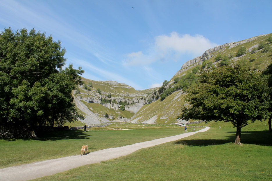
Looking back at the valley . . . you won't really believe the drama of the place unless you see it yourself but hopefully I have offered you an introduction and encouragement to visit for yourselves.
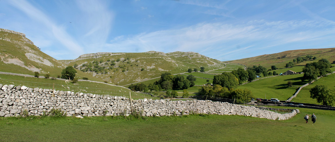
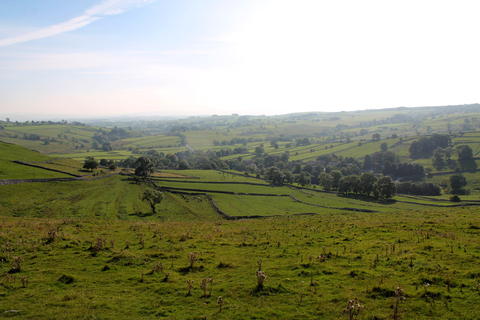
Rather than the road route back to Malham we opt for a green route taking a footpath that heads uphill towards the distant top of Malham Cove.
It crosses several dry valleys on its way across the hillside.
The substantial walls are subtly different from Lake District ones due to the colour, texture and shape of the limestone stones used to build them.
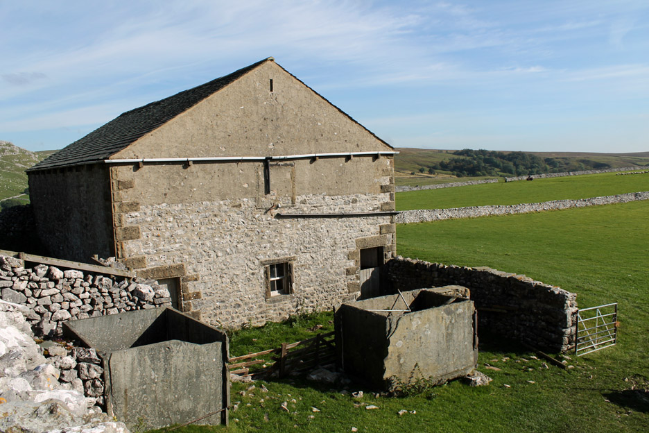
The lonely Cawden Flats Barn alongside the path as we walked across to the next roadway. What was most impressive were the two water butts made from single slab slates, keyed together with waterproof joints.
A quick visit through the roadside gate onto Shorkey Hill to get a possible view down to Malham, hidden in the trees. Malham Cove too was hidden from view, tucked further round the hillside . . . I back-tracked to the road.
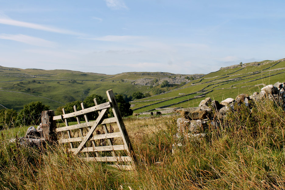
An old gateway as we head down the hill.
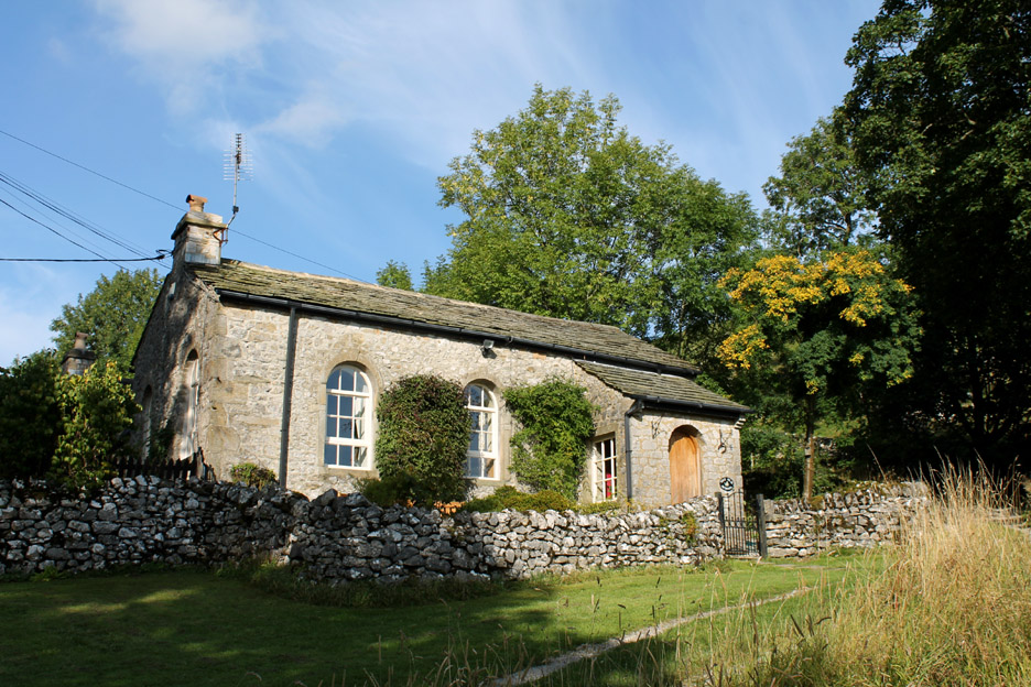
Into the village and taking a shortcut back to our hotel past 'The Old School House '.
One last turn onto the final track down to the river.
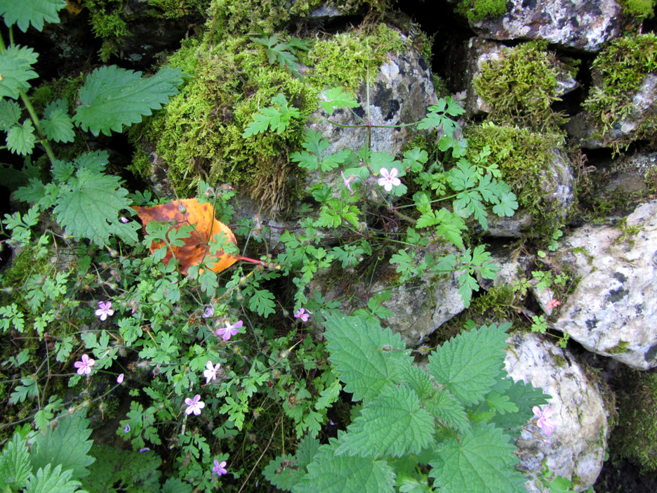
A study of the vegetation growing within the protection of the ancient stones.
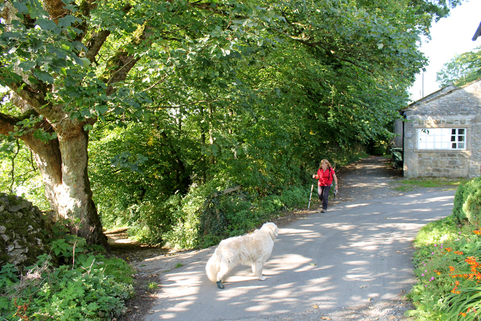
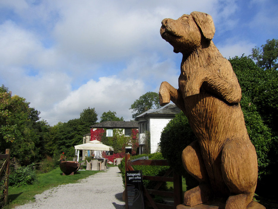
Time for a cup of tea or an 'outrageously nice coffee' . . . if the nice dog will let us in. - - - o o o - - - |
Technical note: Pictures taken with either Ann's Canon Sureshot SX220, or my Canon 1100D Digital SLR. Resized in Photoshop, and built up on a Dreamweaver web builder. This site best viewed with . . . an introduction to classic places of Britain. Go to Top . . . © RmH . . . Email me here
Previous
walk - 27th
September 2015 - The
Malham Cove Walk A previous time here - Sorry - no digital picture on line for the Malham area. Next walk - 29th September - Kirby Malham & Home
|