![]()

Remember: Press F11 for a full
screen view of this page.
|
|
|
Remember: Press F11 for a full
screen view of this page. |
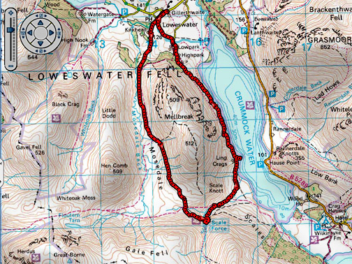
| " Round Mellbreak with Sherran and Bill " Date & start time: Sunday 8th March 2015, 12.30 pm start. Location of Start : The red phone box, Loweswater , Cumbria, Uk ( NY 143 211 ) Places visited : Mosedale, Scale Force, Low Ling Crag, anti-clockwise back to home. Walk details : 7.1 mls, 1100 feet of ascent, 5 hour including a brief lunch. Highest point : Top of Mosedale, 1000 ft - 307m. Walked with : Sherran and Bill, Ann and our dogs, Harry and Dylan. Weather : Walk of two halves, cool and cloudy then sunshine and blue skies. |
© Crown copyright. All rights reserved. License number PU 100034184. |
|
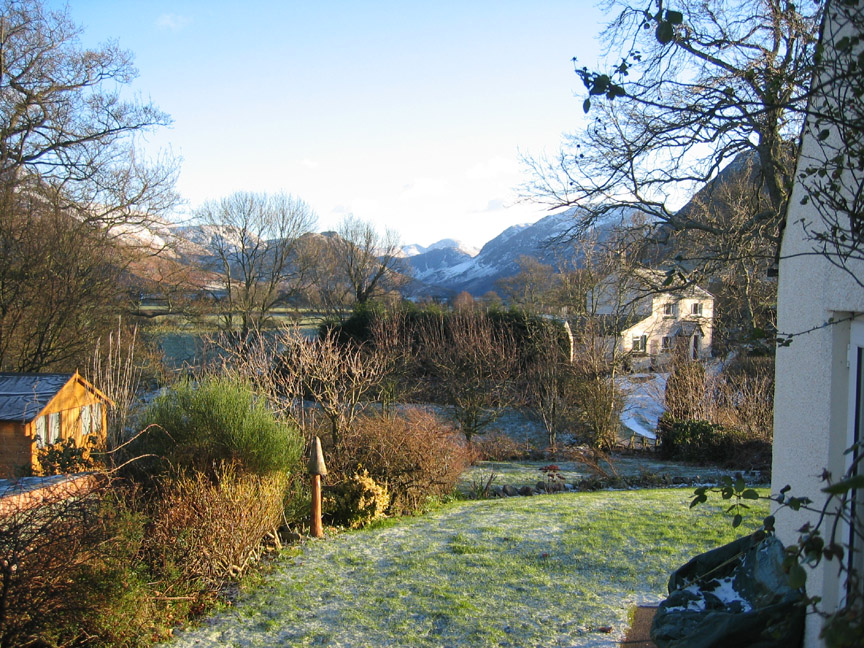
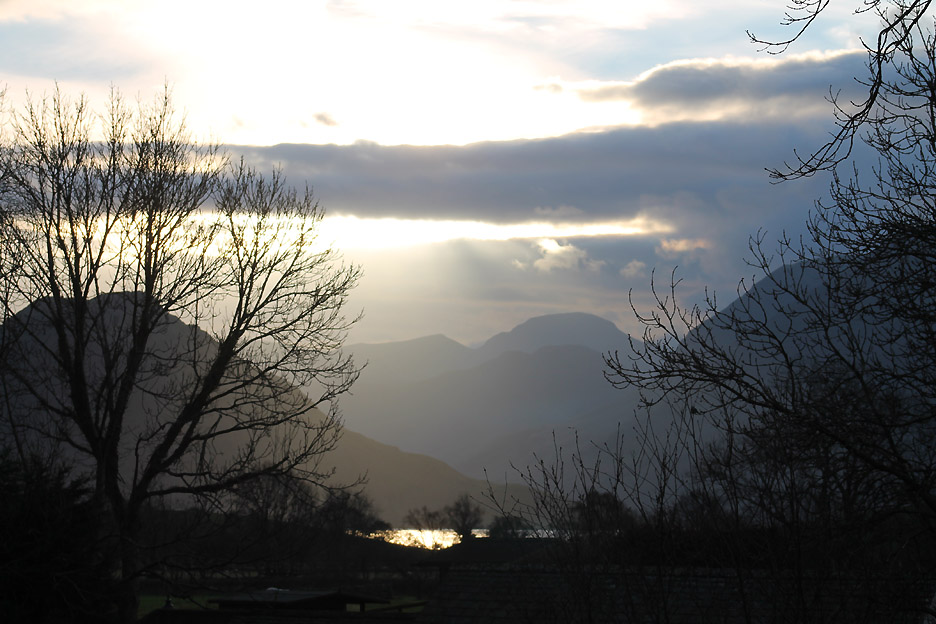
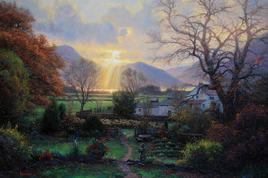
As you are most probably aware, it seems the website is viewed all round the world and as a result we often receive emails from friends and followers about the pictures we show. Last week we had an extra special one from Mark Keathley in East Texas.
He is a commercial artist in America and has followed the site for some time. He has been enjoying pictures like these . . .
and sunrises like these . . . so much so that he put brush to paper and created his own view of Crummock from Oak Cottage garden.
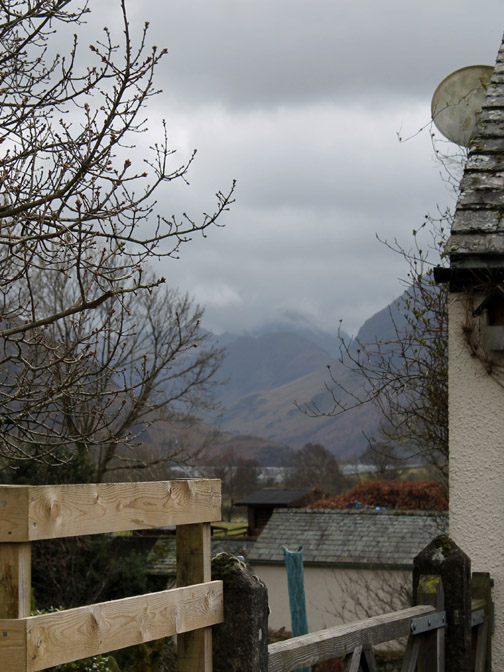
Having sent us a photo of his painting, we would like to share it with you all. Many thanks Mark. I'll post a link to his site at the end of this report. - - - o o o - - - Back to today . . . Sherran and Bill are staying for a long weekend. The weather is not brilliant but we head out for a walk anyway. We chose a low level route around Mellbreak rather than brave the wind and possible low cloud on the tops. As it happens the weather improved even more than the forecast suggested. Scale Force here we come.
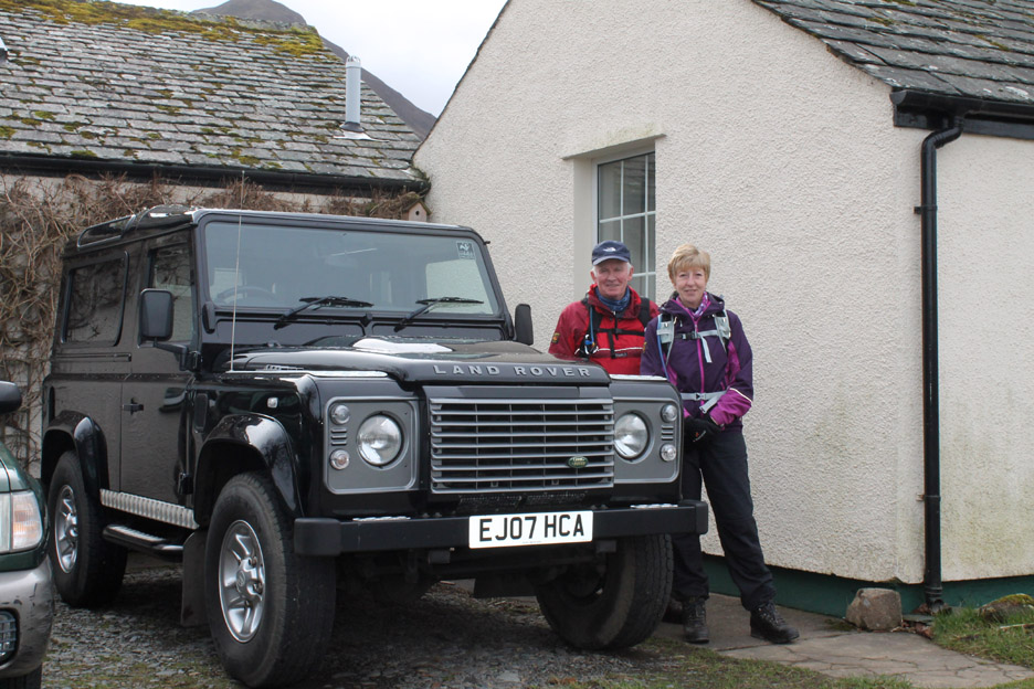
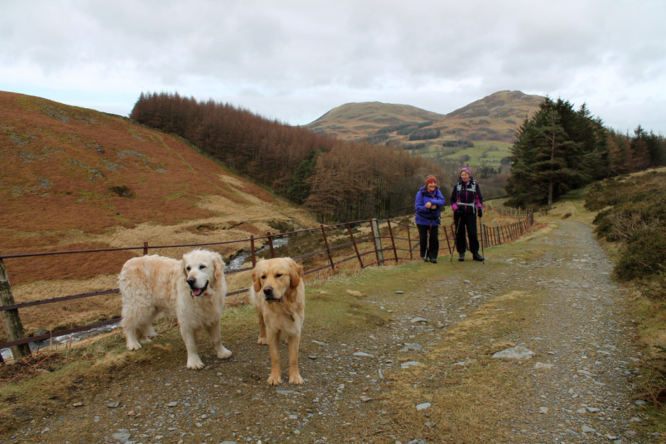
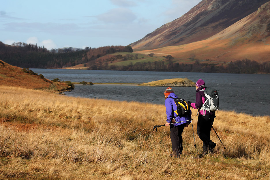
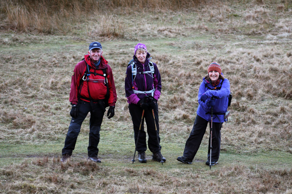
Sherran and Bill . . . and their mode of transport.
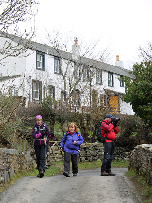
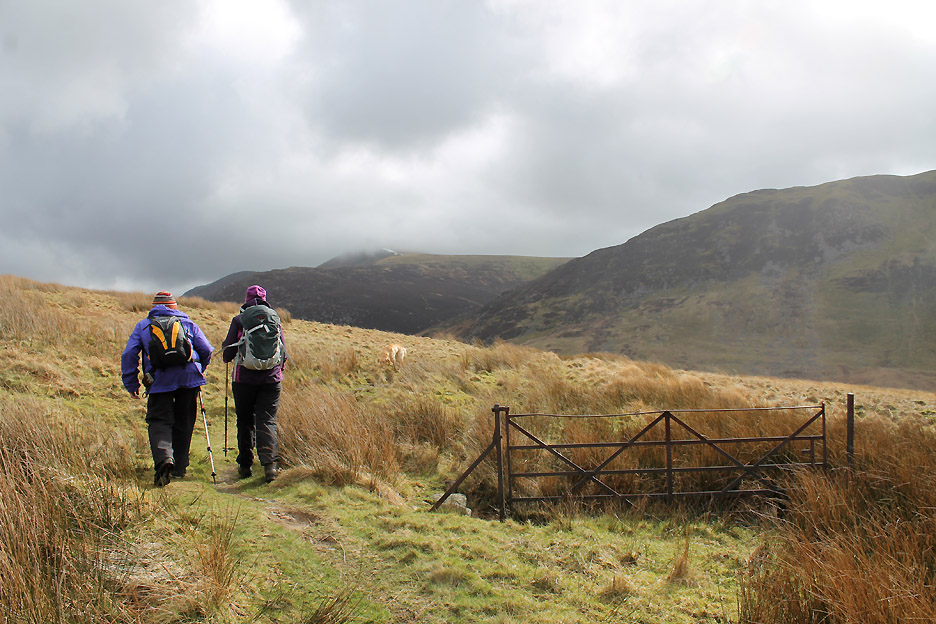
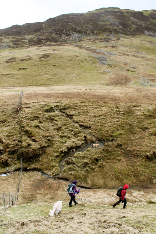
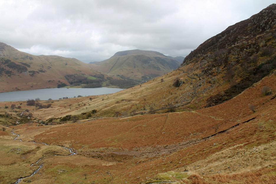
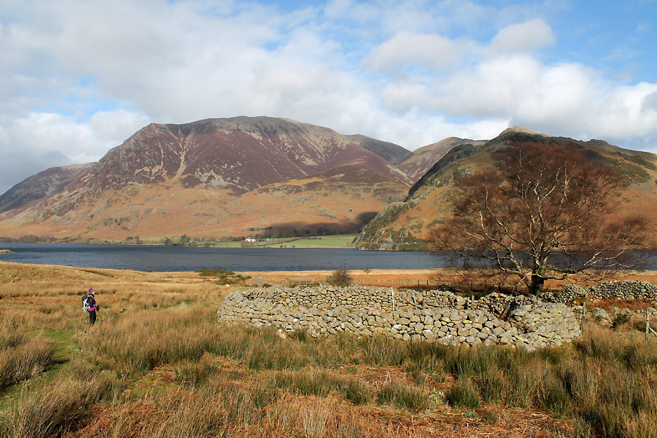
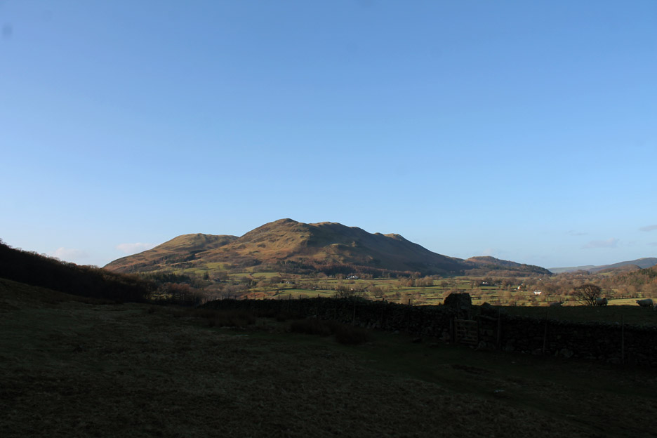
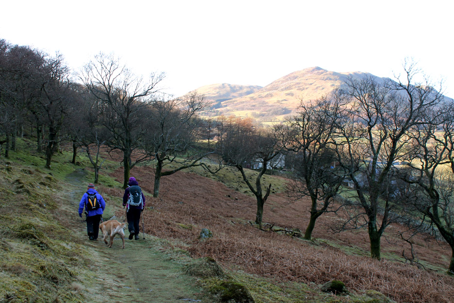
Out on the bridleway into Mosedale . . . leaving the fell gate, Low Fell and Darling Fell behind us.
They've stopped to have their picture taken . . . and the dogs have too !
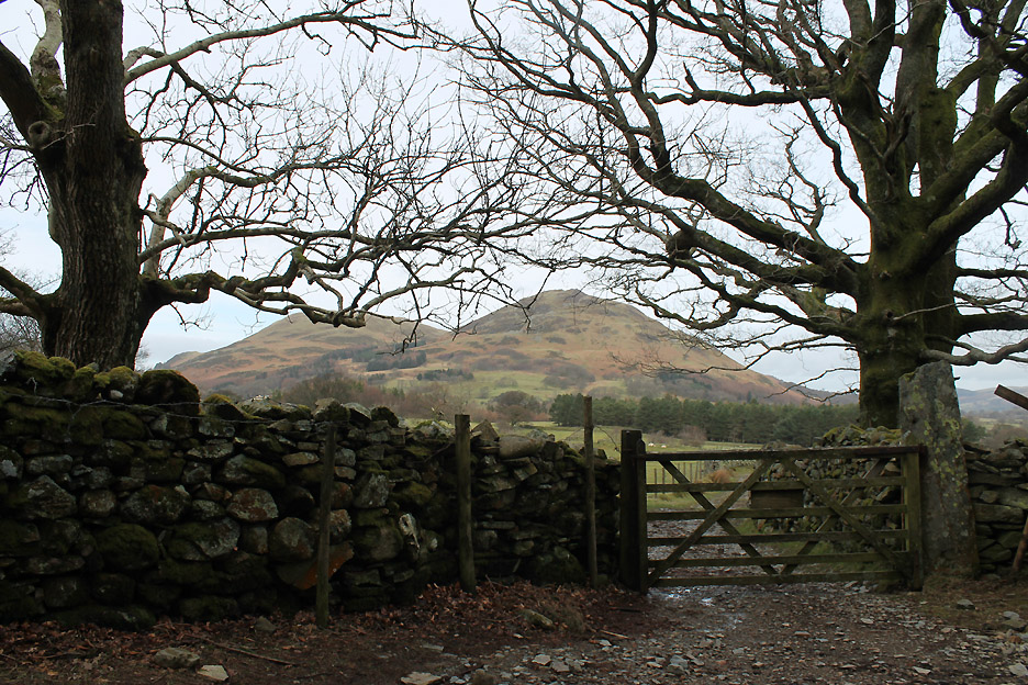
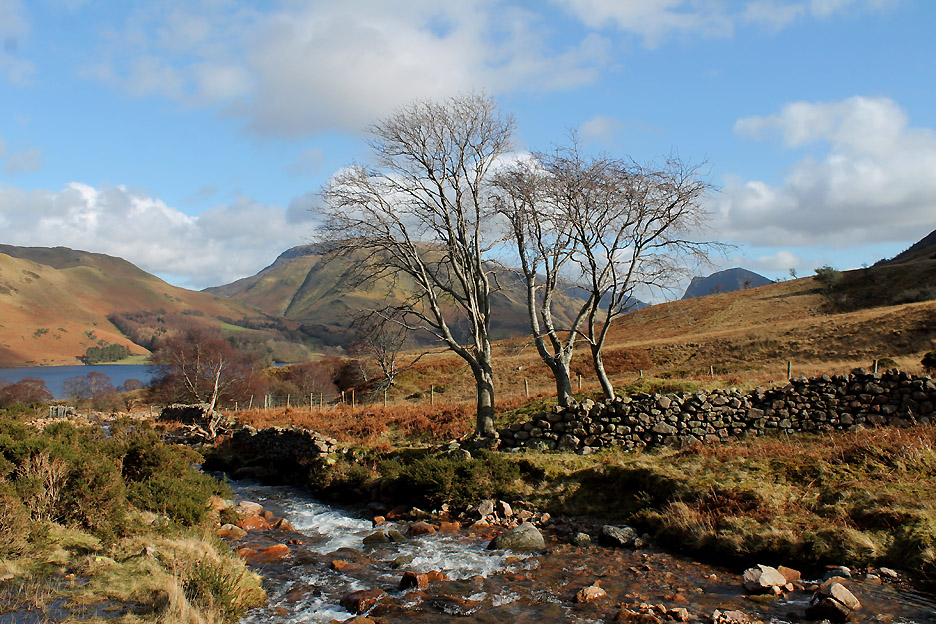
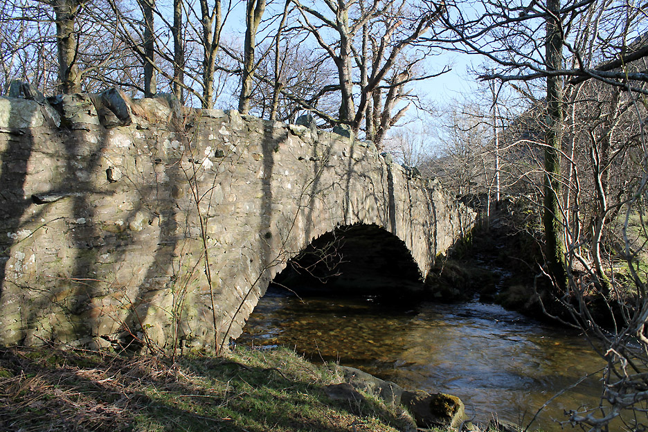
The Mosedale Holly Tree. The path takes a left turn here and continues on across the side of Mellbreak . . . the bridleway turns right, over to a river crossing via the iron bridge.
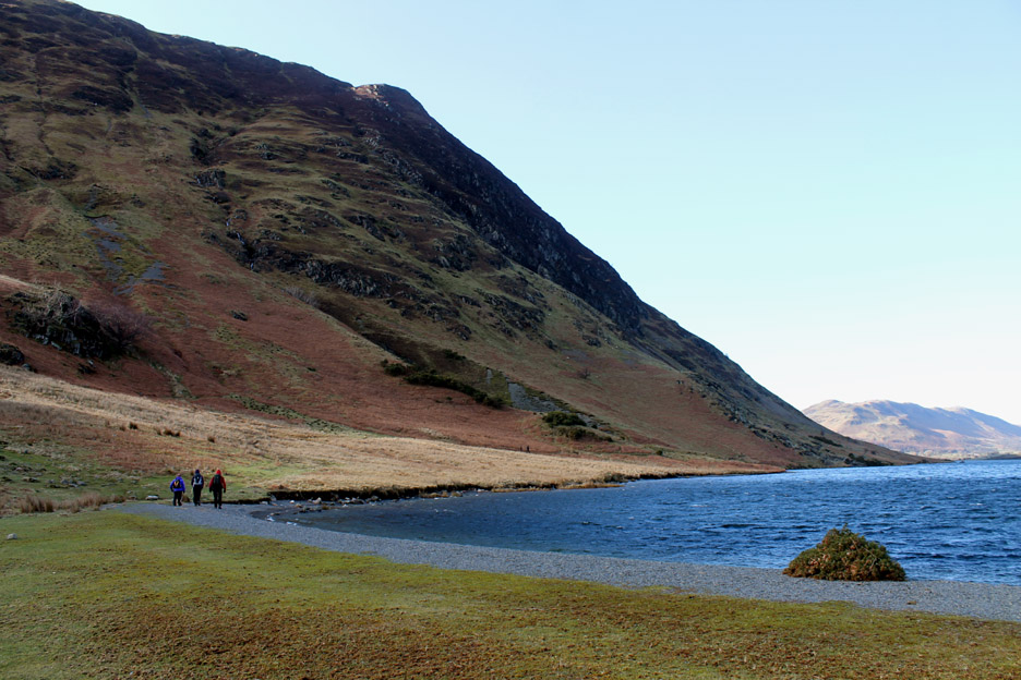
Heading up to the high ground below the southern end of Mellbreak.
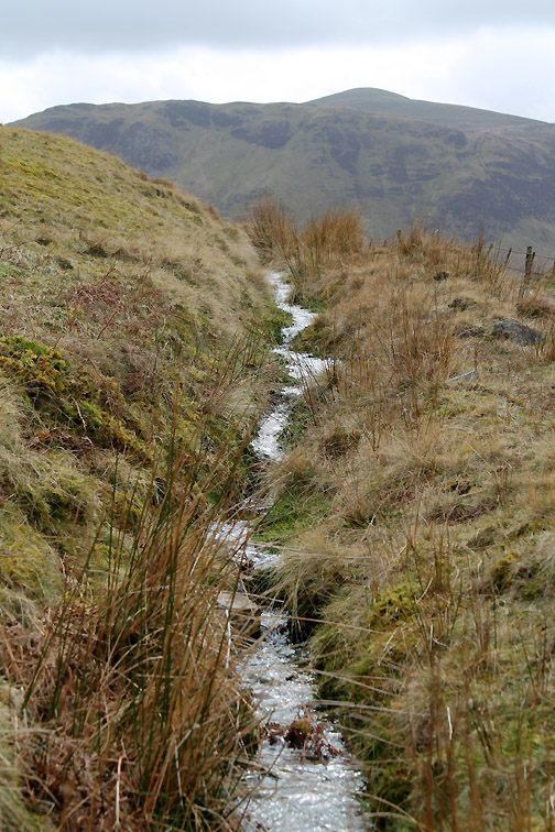
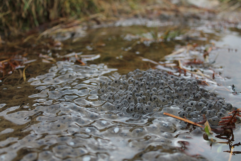
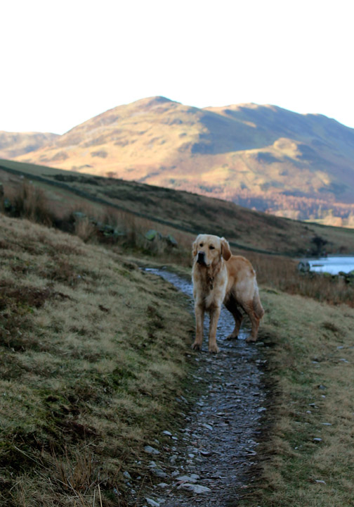
It has been a wet path in places but not too crowded. One could say there were more tadpoles than people and sheep.
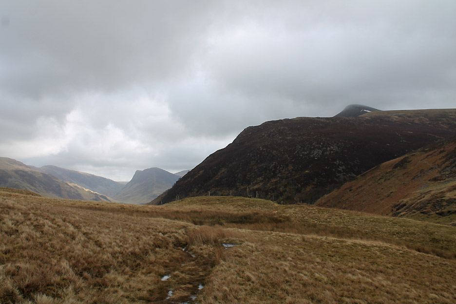
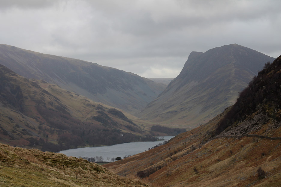
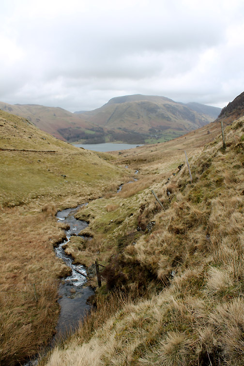
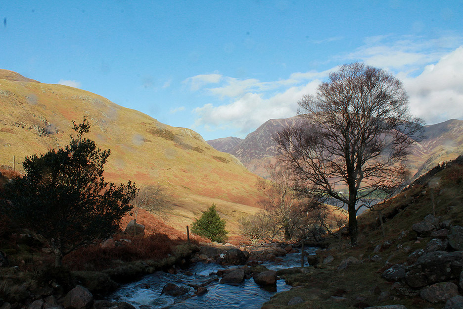
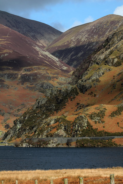
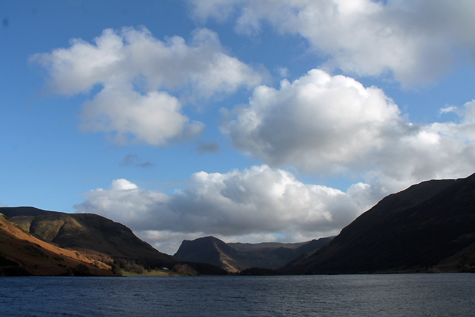
Across the boggy ground and heading towards Scale Force to see the waterfall. High above the cloud brushes the summit of Red Pike and we have our first view of Fleetwith Pike at the head of Buttermere.
Close up of Fleetwith and Gatesgarthdale . . . leading up to Honister hause and the slate mines.
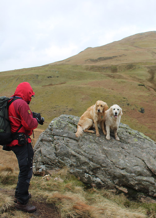
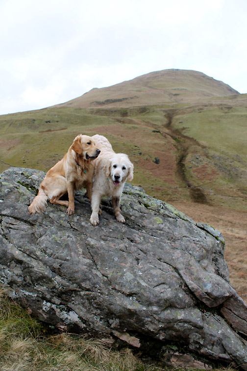
On the way down towards the waterfall we passed a large rock . . . one dog jumps up, the other is encouraged.
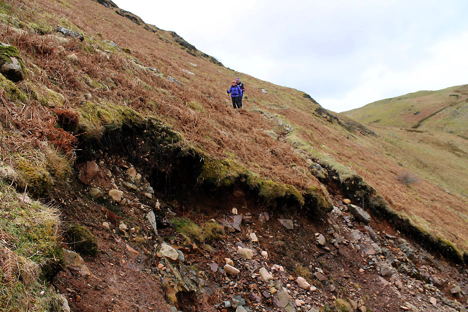
Downhill all the way now but the path has been dissected by a large landslip a few years back.
The track splits . . . over the top for steadier walkers . . . across the boulders for the more adventurous ! [ Note: There's still water running from the subsoil. If it slips again would you be better off being above or below ?] [ Answers to the editor, written on the back of a ten pound note please]
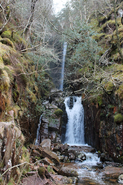
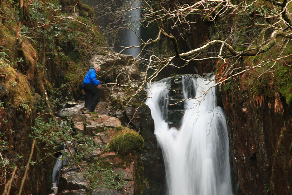
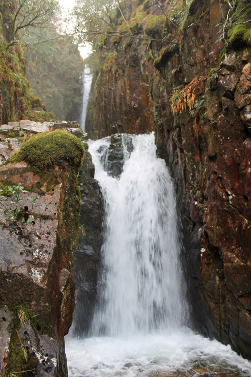
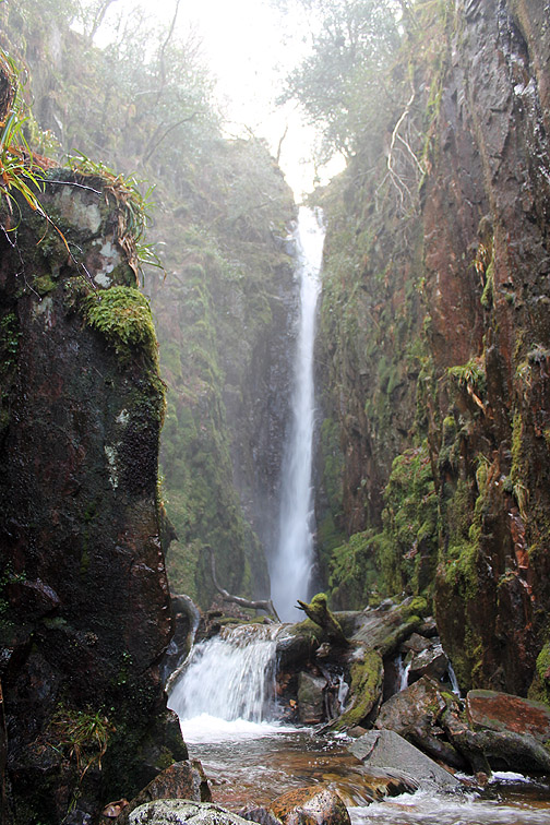
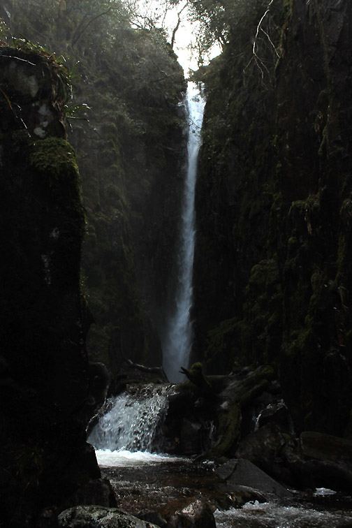
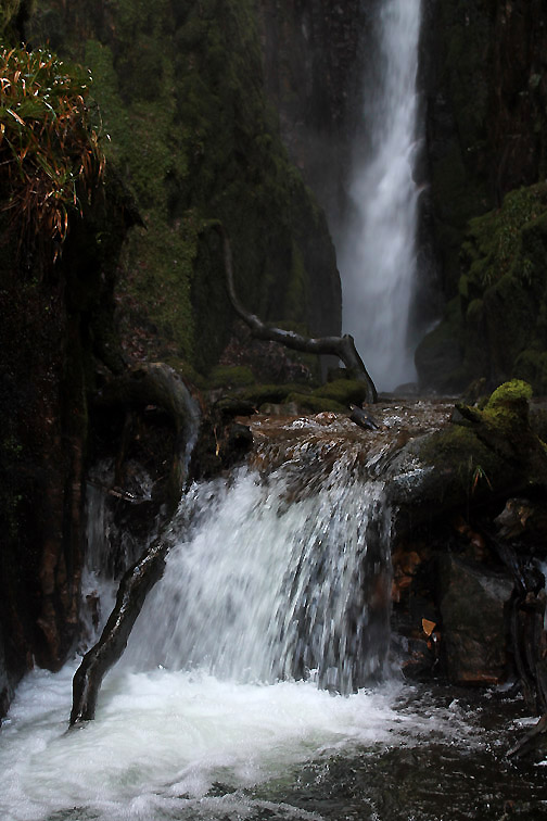
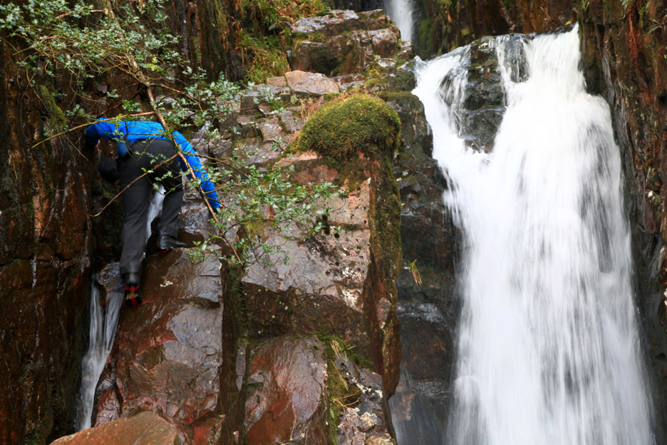
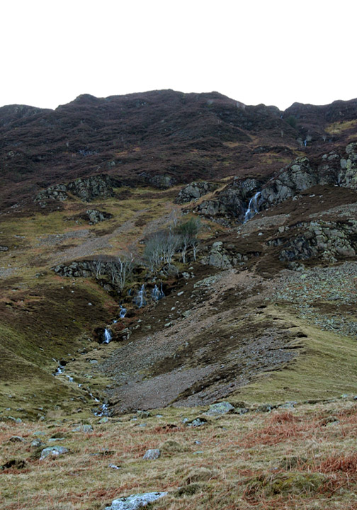
Half way round the walk and we've reached Scale Beck bridge and the waterfall. Time to look around before we have a light lunch.
I venture up on the rock to the left hand side of the falls. In olden days there used to be a wooden ladder here but it has long since gone.
To venture further would just mean that I and my camera would get a soaking.
Time to retreat . . . ever so carefully !!!!!
As we sat and enjoyed soup and a biscuit the weather took a turn for the better.
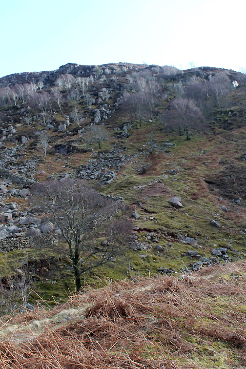
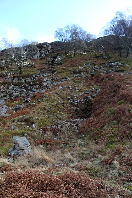
The clues can be found in the red of the spoil heap in the left hand photo and the parallel lines up the fell side in this one.
Closer investigation suggested the entrance of the horizontal addit just above the spoil heap . . . the level grass covered mound in this photo. A small stream was issuing from the stones blocking the entrance and a water channel directed the water away to the other side of the workings. The iron vein was worked by at least two levels and the ore from here was carried across the lake by boat ( ref: Ian Tyler ) If you have climbed up past the waterfalls on the red dust covered High Stile path seen in this picture you have walked within ten feet of the entrance !
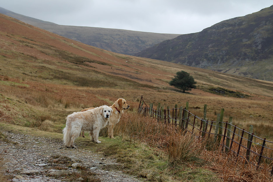
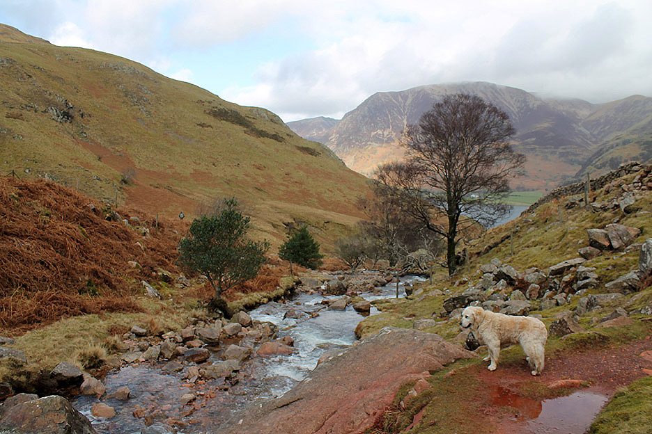
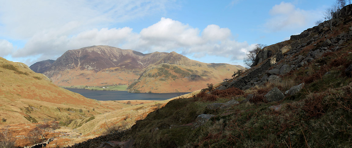
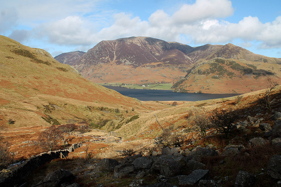
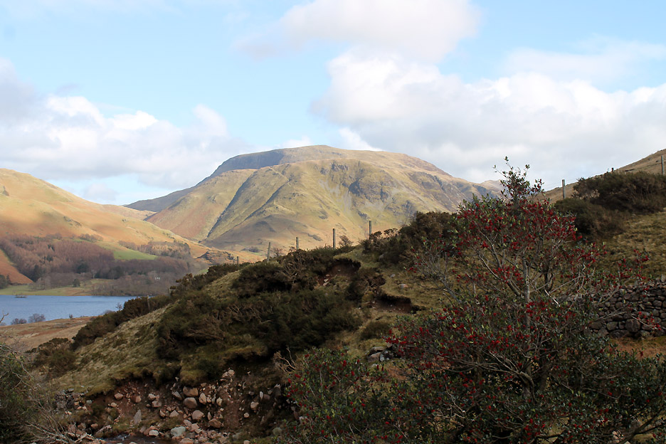
Time moves on, the clouds rolled away and it was very spring-like as we headed on our way.
A late holly with beautiful red berries by the stream . . . with a backdrop of Robinson and High Snockrigg.
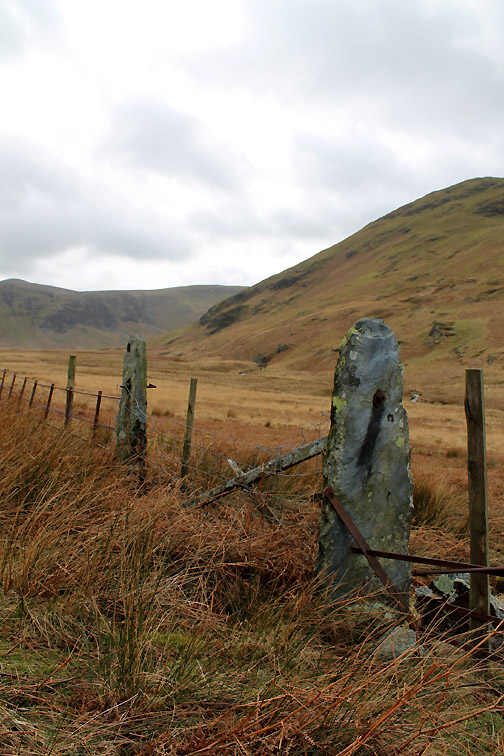
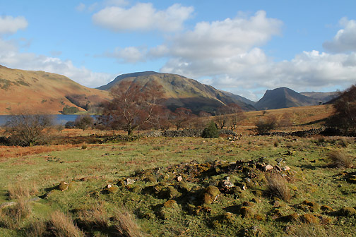
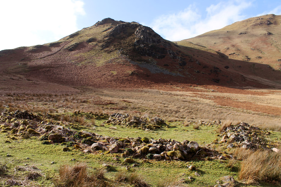
Following the riverside path down to the lake, pausing to enjoy the view and the dry stone waller's craft. Shown on the map but not highlighted with a name of any sort, we pass several old stone enclosures.
It seems there was a small community living on this side of the lake but it ceased in the 1800's Who knows it may have been associated with the iron workings, the families supplementing their croft existence by working in the mine ?
Lower down a much more modern enclosure has been built. Bill pointed out that all the stones were round, river-washed boulders and consequently difficult to incorporate into stone walls.
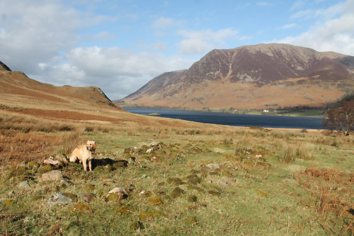
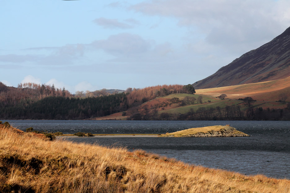
Ahead was Low Ling Crag. It was beautifully sunny but just look at the waves on the lake to judge the wind speed.
Ann and Sherran now head out along the lakeside path.
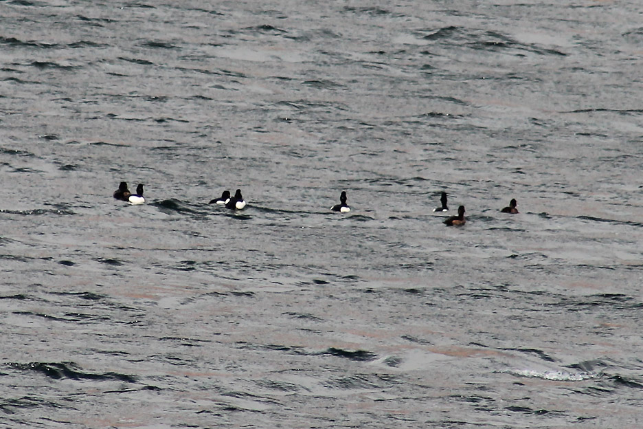
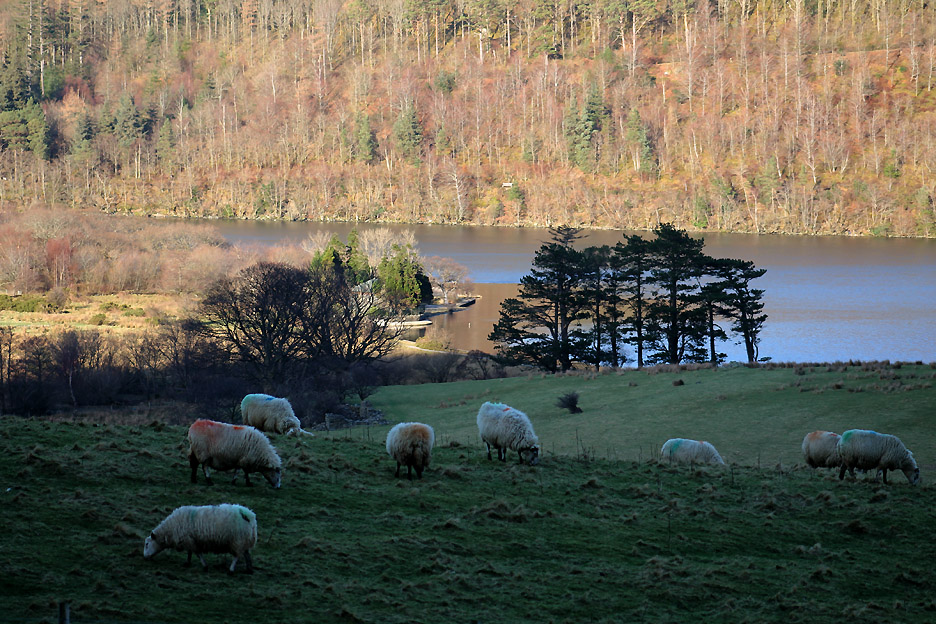
A raft of Tufted Ducks (M& F) on the lake. They breed in this part of the country but numbers are swollen in the winter by migrants from colder countries further north.
Cloud shadows cover the flat shoreline . . . emphasising the colour of Low Fell and the big skies above.
High Ling Crag . . . looking into the sun and the sparkling waters of the lake.
Lovely views across to Rannerdale Knotts . . . Sherran thinks the picture could do with some extra sun. Hold your cursor over the picture to help her out.
Big skies again . . . looking up the lake to Fleetwith Pike and Brandreth.
Brighter now as sun spreads across the promontory . . . just as we leave.
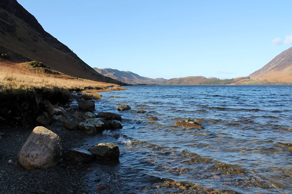
Boulders by the water.
Last look back at Rannerdale from the beach.
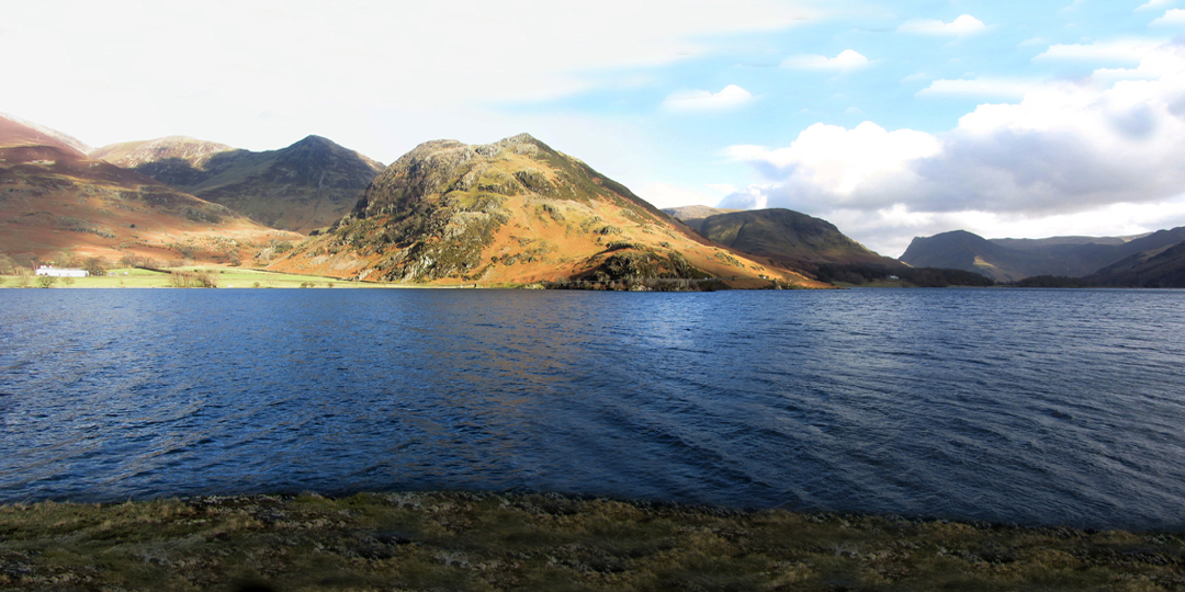
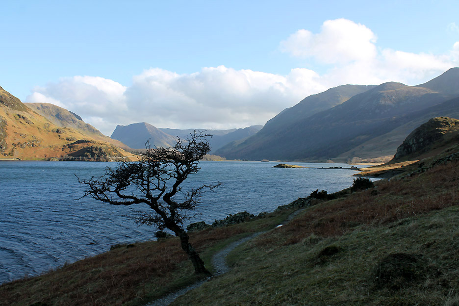
Crummock Water from the old Hawthorn tree along side the path.
Several streams drain the side of Mellbreak but never reach the shoreline. They soak away into the scree and broken rock (talus) at the base of the slope.
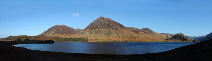
A wide panorama as we climb up away from the lake. Click here or on the photo above for a larger Loweswatercam annotated panorama.
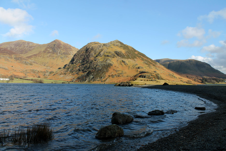
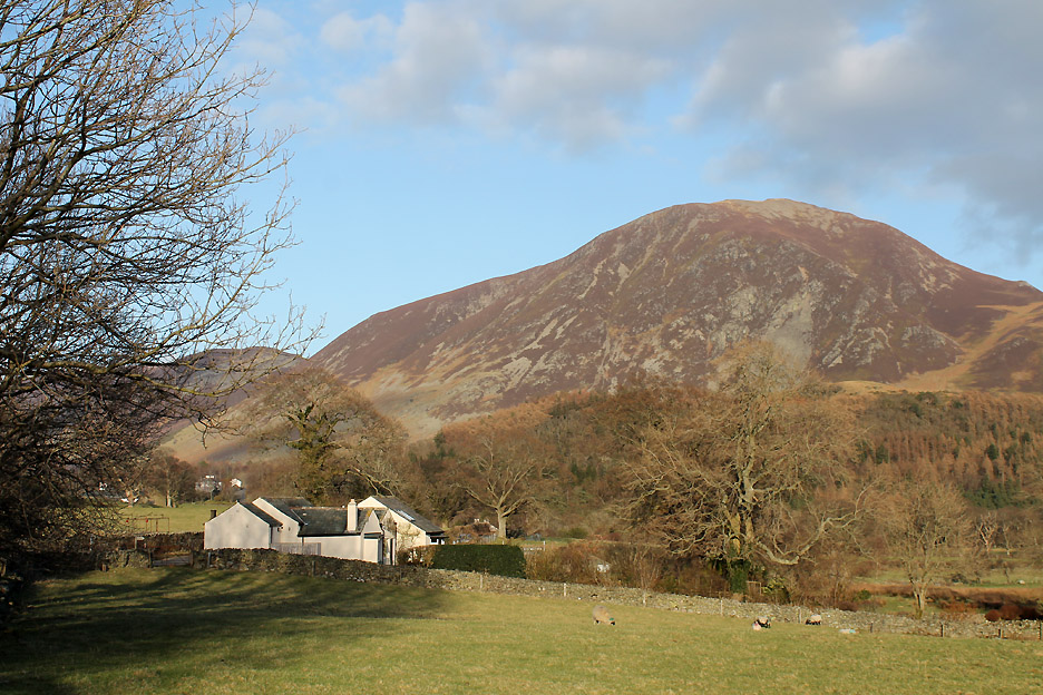
Ahead is the hamlet of Loweswater . . . at the confluence of the three valleys.
Looking down on the pump house, slightly hidden by the old yews . . . trees that is, not female sheep.
They were better at smiling . . . so I took the photo.
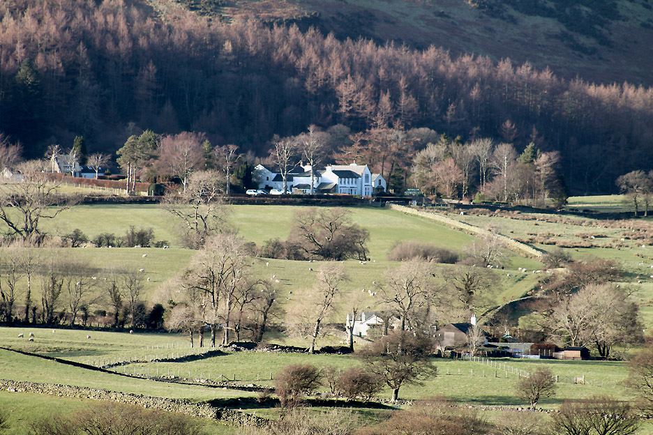
See that lovely big house tucked under the hill . . . we don't live there ! Ours is the small cottage partially hidden by the trees closer at hand.
The walk draws closer to the end as we walk through the old Green Wood. The houses here are so close under the hill that they miss out on direct sunlight for the winter months.
Park Bridge looking lovely in the sunshine now we are clear of the fell's long shadow.
It was a debate whether to go for a pint at the Kirkstile or head directly home for a pot of tea and some Oak Cottage fruit cake. We'll be up the pub tomorrow night . . . the tea and cakes won the day . . . and nice they were too, after our seven mile, rather interesting walk around Mellbreak.
|
- - - o o o - - - Technical note: Pictures taken with either Ann's Canon Sureshot SX220, or my Cannon 1100d digital camera. Thanks to Bill for the two photos of me climbing at Scale Force. Resized in Photoshop, and built up on a Dreamweaver web builder. This site best viewed with . . .a link to Mark Keathley's web site in East Texas. Go to Top . . . © RmH . . . Email me here Previous walk - 28th February 2015 - A Damp Buttermere Round A previous time up here - Thurs 6th August 2009 Mellbreak Low Level with Jayne Next walk - 10th March 2015 - Double Measure - double Pleasure
|