![]()

Remember: Press F11 for a full
screen view of this page.
|
|
|
Remember: Press F11 for a full
screen view of this page. |
| " King's How and Jopplety How " Date & start time: Wednesday 4th February 2015, 12.45 pm start. Location of Start : The Bridge at Grange, Borrowdale, Cumbria, Uk ( NY 143 211 ) Places visited : King's How, Jopplety How and back via the Watendlath track into Borrowdale. Walk details : 5 mls, 1600 feet of ascent, 4 hour 45 mins. Highest point : Grange Fell / Jopplety How 1338 ft - 412m. Walked with : Trevor and Gill, Ann and our dogs, Finlay, Harry and Dylan. Weather : Sunshine and blue skies but clouding over from the west later. |
© Crown copyright. All rights reserved. License number PU 100034184. |
|
For a very pleasant change, a pre-planned walk coincides with a potentially great day of weather. The skies clear and the sun shines on the recent snow . . . Lakeland is looking its best again. We meet up with Trevor and Gill and walked from their home in Grange. Our other companions, apart from Harry, are challenging each other for size and exuberance as they are both now over a year old.
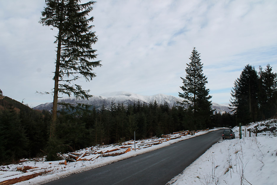
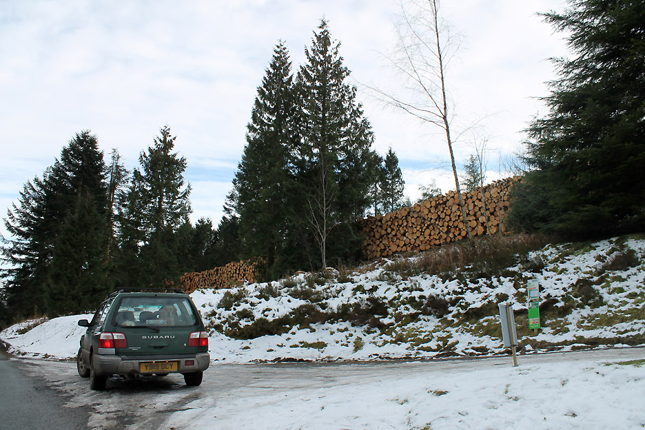
First we have to drive over Whinlatter Pass as Honister is shut due to the ice. The pass has been closed itself for several weeks, not for ice but for tree clearance so, unusually, we have a view of Skiddaw from the forest road as we pass Cottage in the Woods.
Some of the trees they have felled have been lined up ready for collection.
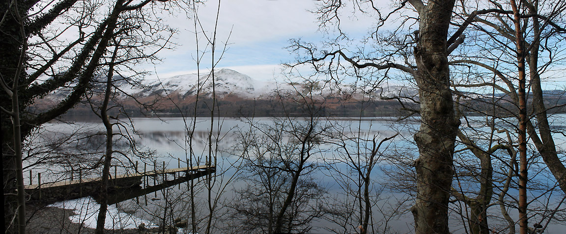
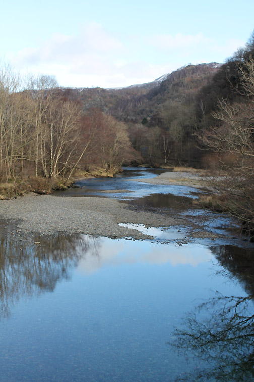
Through Keswick and into Borrowdale. We stop for a quick look at the view of Catbells from the Watendlath Jetty. There is the potential for a nice calm, sunny day ahead.
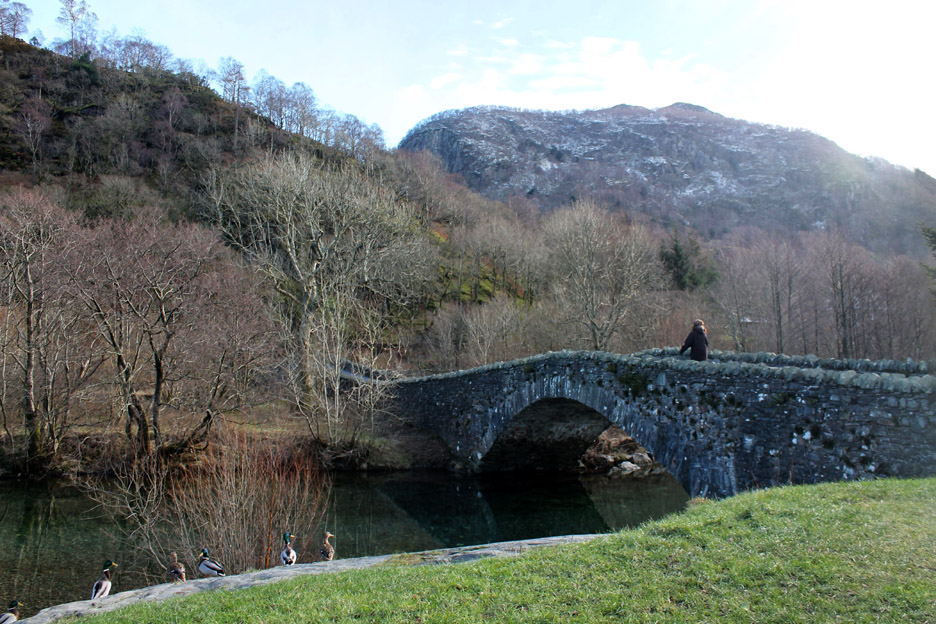
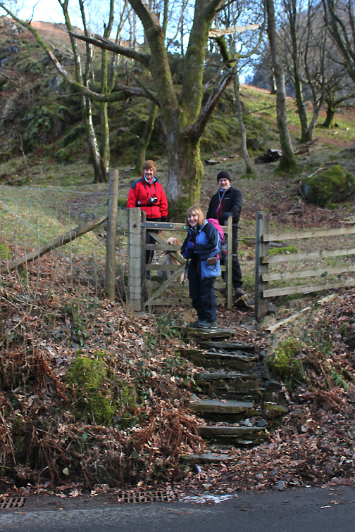
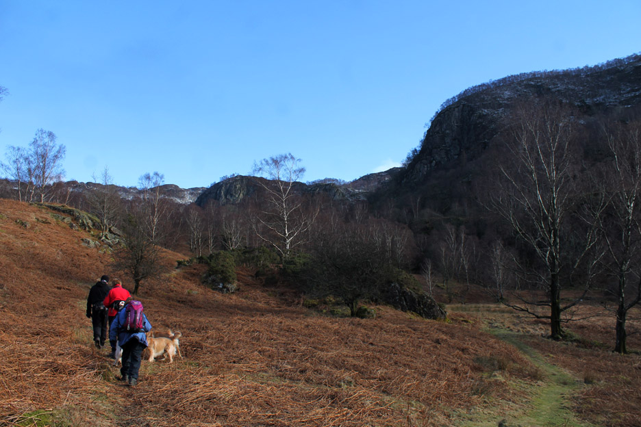
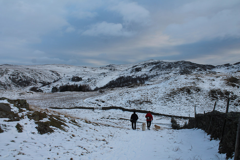
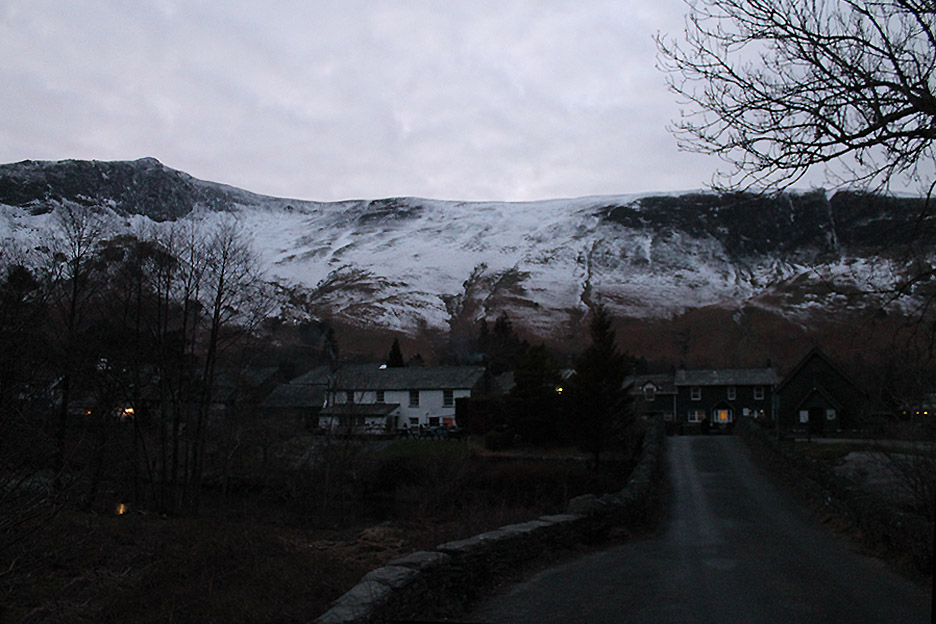
We meet up at Trevor and Gill's house and our walk starts directly from the village. We head out over the bridge, leaving the ducks to play in the extremely clear water of the River Derwent. Our first summit of the day is staight ahead of us.
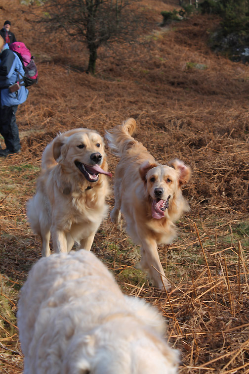
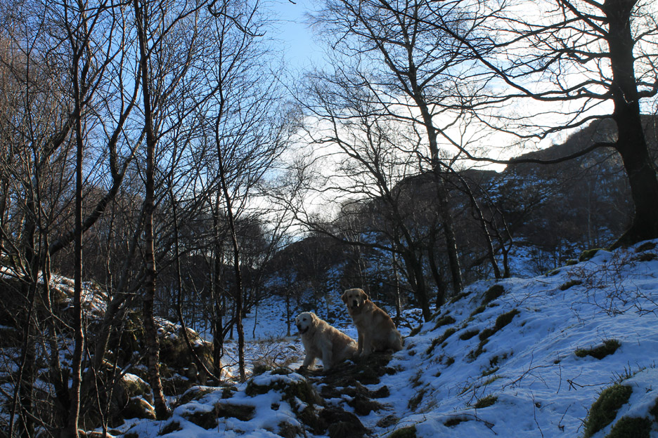
Dylan is just a year old and Finlay about five months older . . . they are so alike.
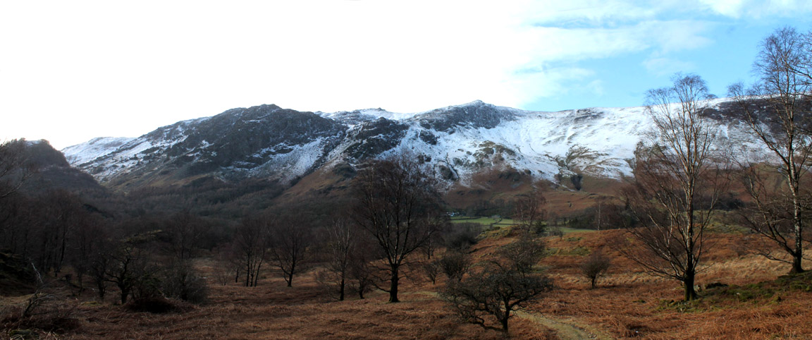
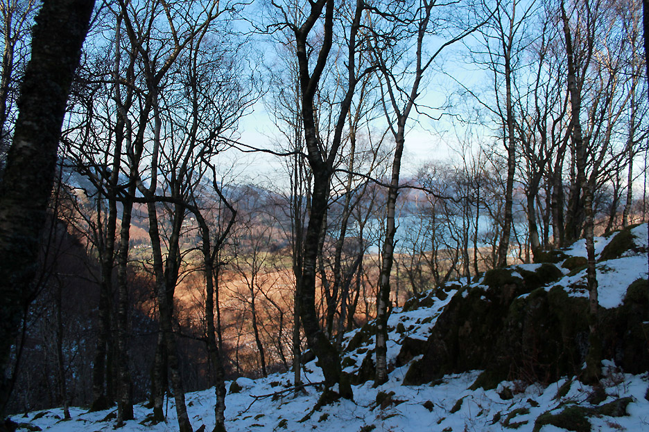
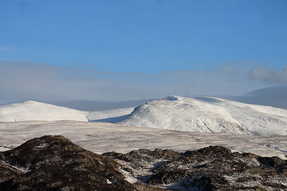
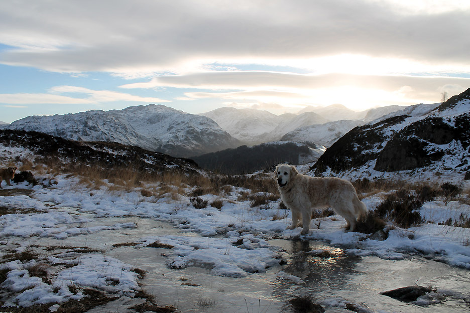
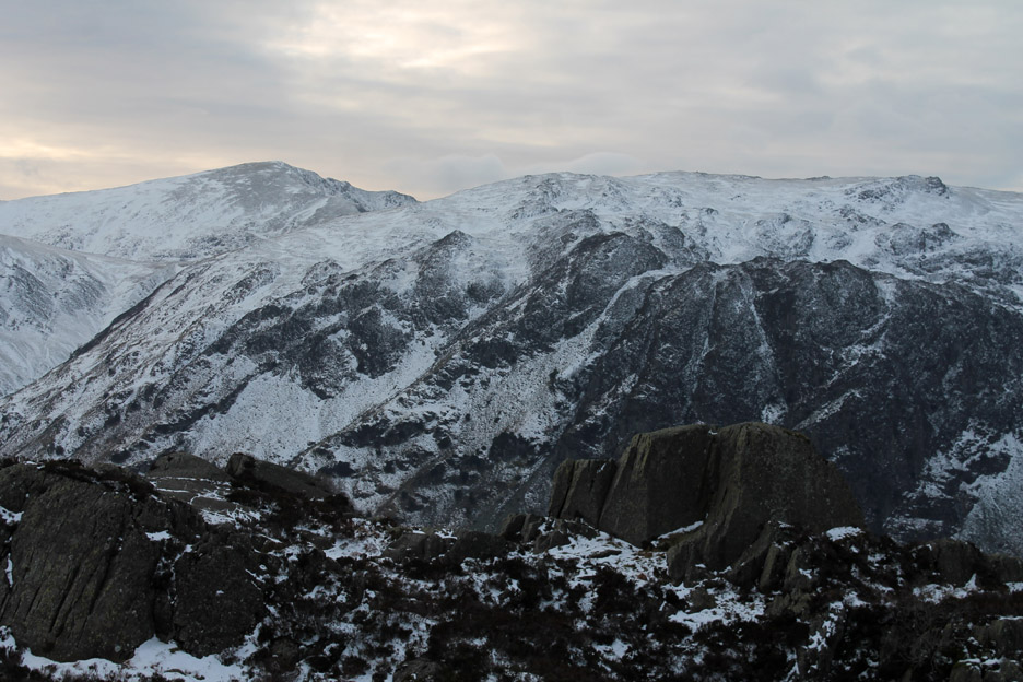
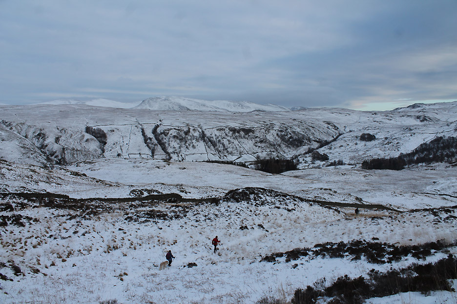
Looking back along our outward route to the snow covered High Spy / Maiden Moor ridge on the other side of the valley.
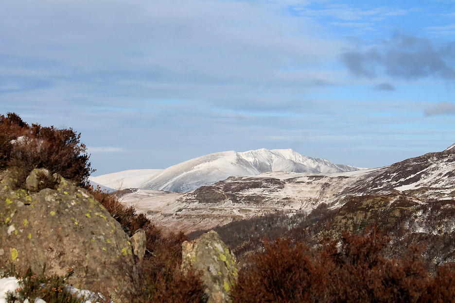
Looking forward to the crags of King's How on the right and in the centre the Black Crag rock face, home to the Troutdale Pinnacle, a famous local rock climb.
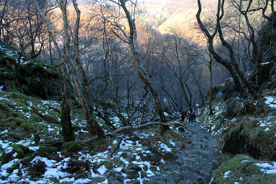
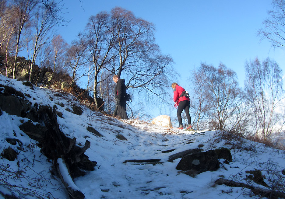
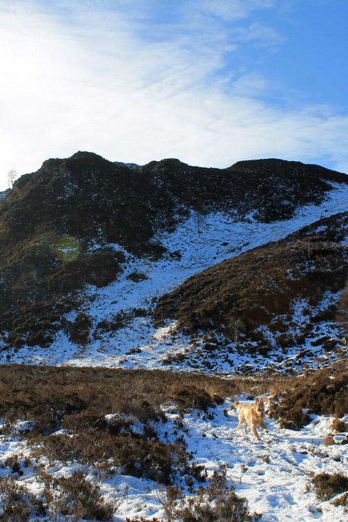
Up through the woods on a fast rising, pitched path.
The top of the climb . . . up through the birch wood. Wainwright described it as . . . . " in Autumn, a golden ladder to heaven" . . . still a nice walk today despite the lack of autumnal leaves.
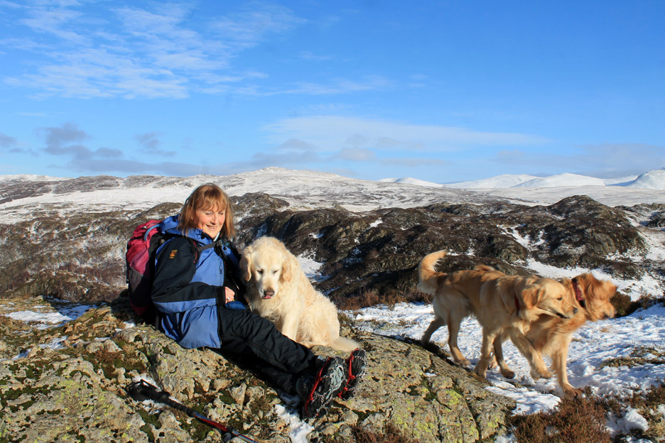
Harry and Dylan pause in the sunshine as the walk starts to level out.
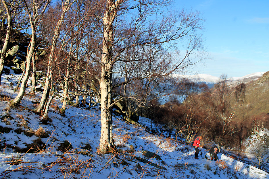
The colour on this walk today comes from the lovely sunshine. Here above the snow line the path is getting slippery so out come the microspikes.
Walking on the mixed surface has suddenly become a lot easier as our grip is more assured.
I've included Dylan to add scale . . . but he made himself look small to confuse the viewer.
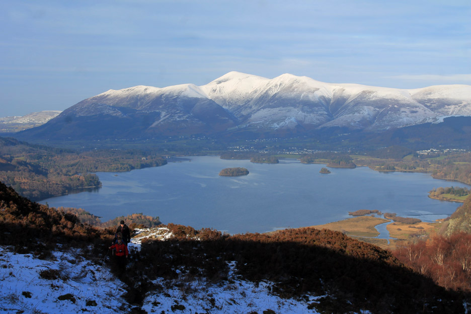
Nearing the top of King's How and the views really open out. Gone are the trees and the whole panorama of Derwent Water and Skiddaw is laid out before us.
The last twist and turns of the path give us sneak views down to Manesty Woods and Catbells.
Blencathra is really catching the sun and shines out like a beacon.
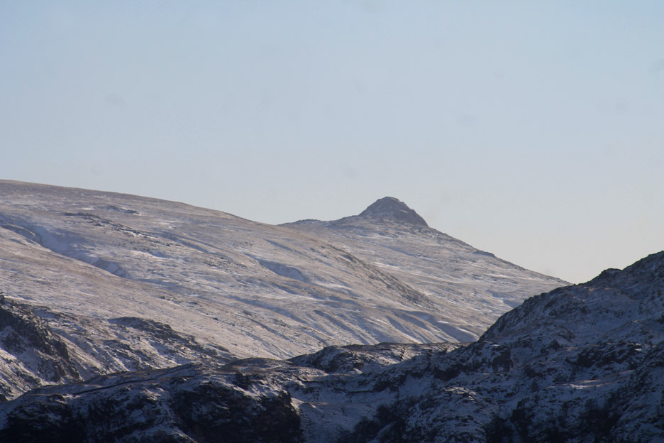
Ahead we can see Sergeant's Crag, High Raise and distant Pike O'Stickle.
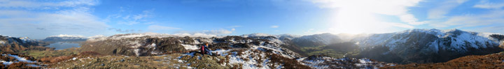
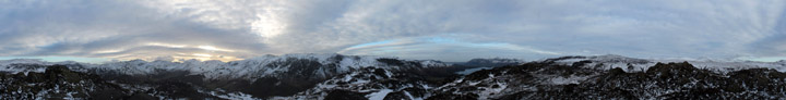
The view from the top was absolutely stunning . . .
. . . so I share it with you here. Click here or on the photo above for a full Loweswatercam 360 degree annotated panorama. (Backspace afterwards to get back to this point on the page)
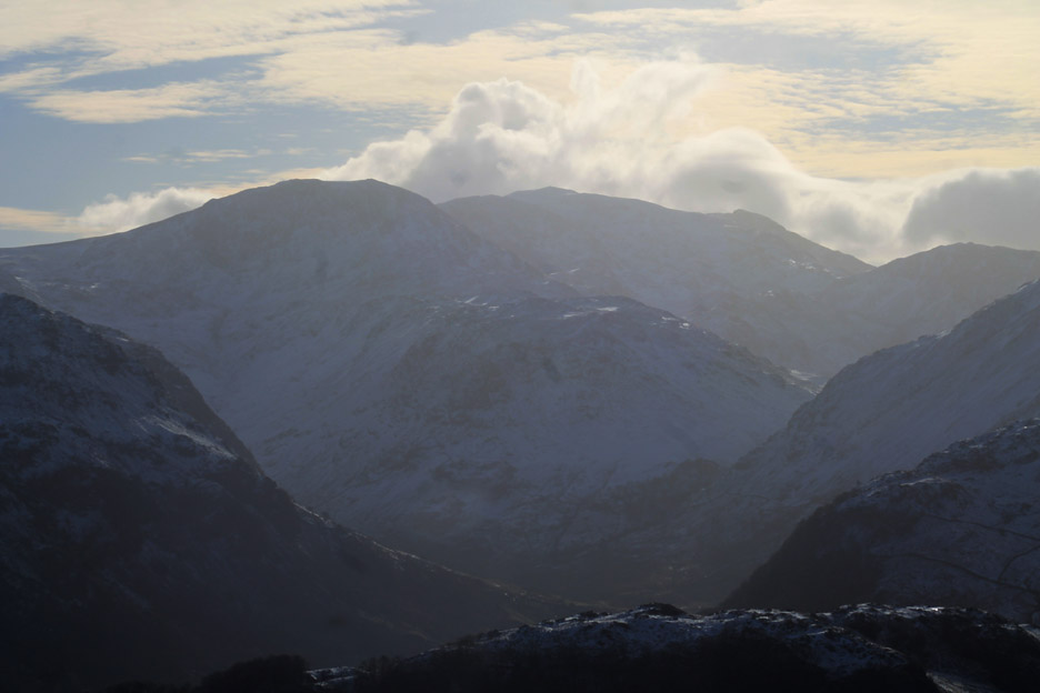
The winter views deserve a closer look . . . here across Grange Fell to Brown Cove and the summit of Helvellyn. In the centre of the photo you may be able to make out the tip of Catstycam above the ridge to Helvellyn's Whiteside.
A close up on that unusual view of Pike O'Stickle, more normally associated with the Langdale Valley.
The Big One . . . the highest in England. Looking almost into the sun at Great End, Scafell Pike and just the tip of Scafell beyond.
Another fell looking rather different from normal . . . Catbells summit from this south easterly direction without the characteristic lower summit of Skelgill Bank.
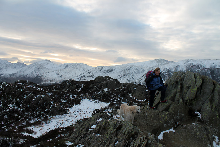
Ann and Harry peacefully enjoying a seat on the summit rocks. The other two were rushing about, enjoying the freedom of the open space. (Dylan has the bright red, Finlay a more faded red collar as he's older !)
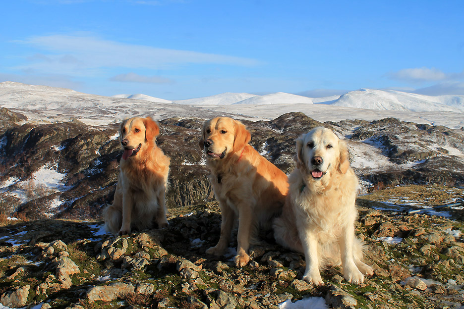
A group photo of all three dogs stationary for a brief moment on the summit of King's How. [ Hold your cursor over the picture to see how we achieved it ] - - - o o o - - - After an enjoyable lunch stop just below the summit it was time to move on.
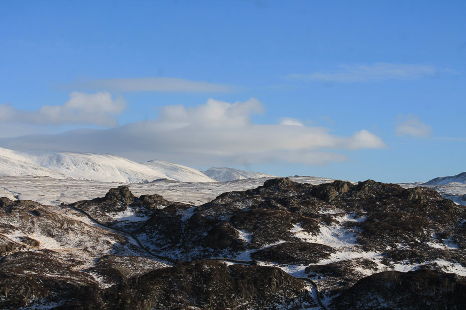
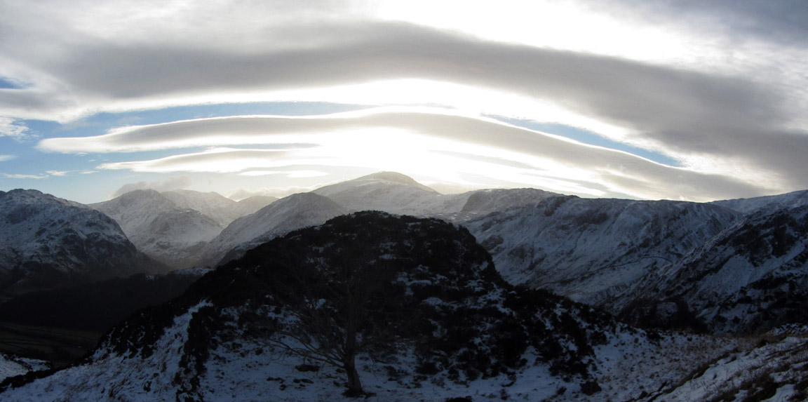
The clouds were building over the western summits . . . lenticular in form as the wind rippled up and down over the summits and formed bands of cloud at the highest point of their climb.
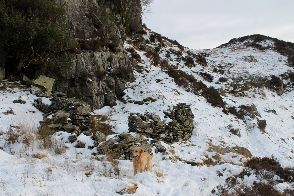
Leaving King's How behind and heading for Brund Fell . . . we pass an old sheep fold along the way.
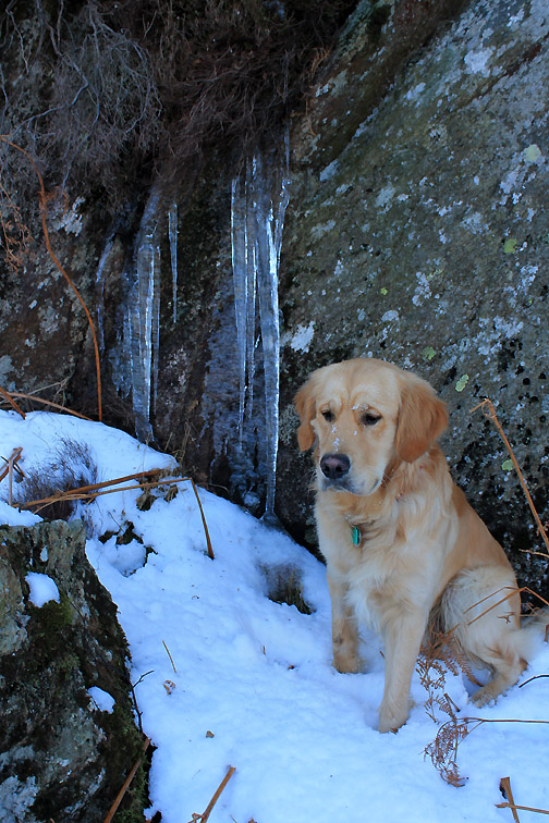
The going underfoot was dry . . . because all the water was frozen !
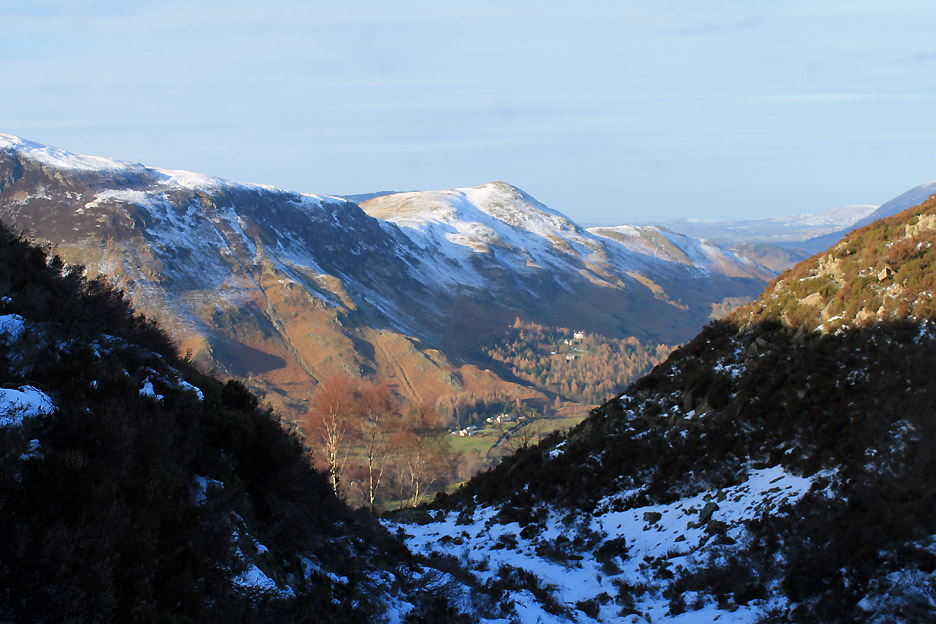
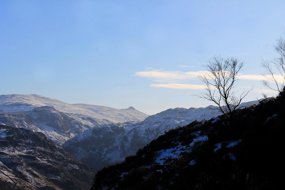
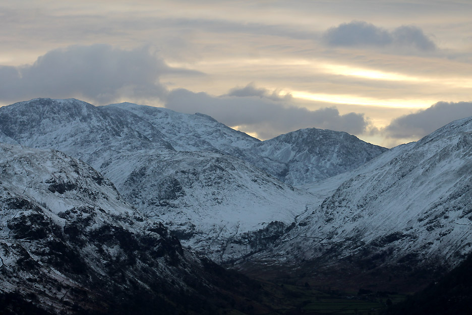
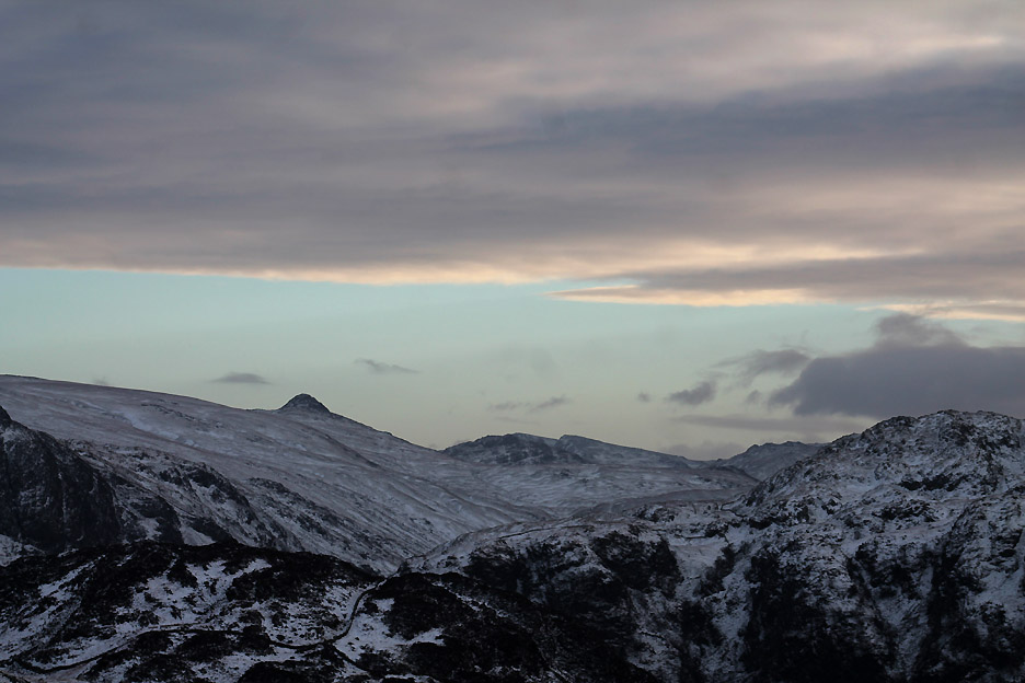
As the cloud gathered into a more consistent layer the sunlight faded but it meant we could see more detail towards the Scafells. Lingmell is the rounded summit above the trees of Taylorgill Force and the Styhead Valley.
Blencathra now no longer shines . . . but starts to fade into the distant cloudy haze.
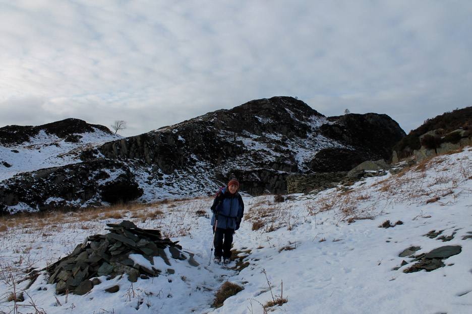
Another old sheepfold as we start the climb up onto the main Grange fells.
Looking across to Dale Head across the first of the rock summits.
It was from the top of that rock that I surveyed the scene. Click here or on the photo above for a second Loweswatercam 360 degree panorama.
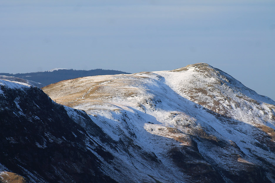
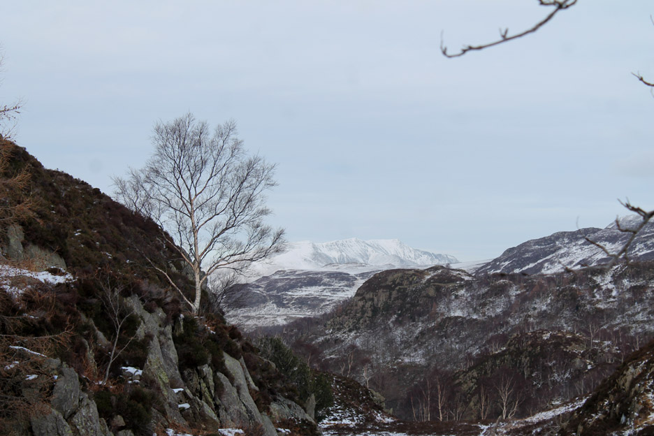
The names of each crag are indistinct, even on the 1:25k map . . . the general area being classified as Grange Fell. The highest point over there is Brund Fell and Ann has come across to a third outcrop, the wonderfully named Jopplety How.
Looking to the south, the band of blue with the cloud above looked almost like the first view of the sea that we used to enthuse about when going on holiday to places like Devon and Cornwall as kids.
The cloud has quickly covered most of the sky and the landscape becomes a more uniform colour.
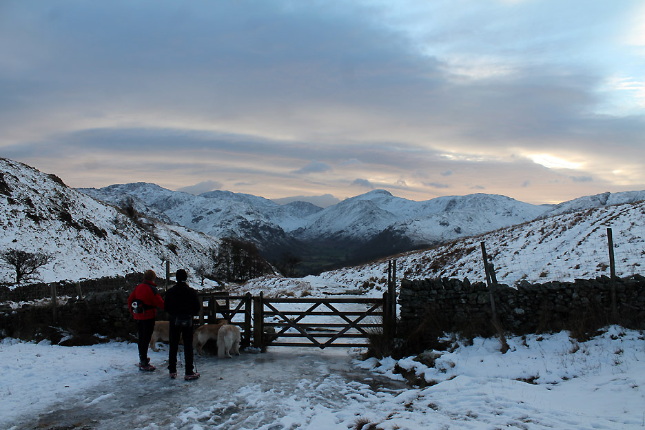
Making our way down to the Watendlath to Rosthwaite track.
Hit the ice road and turn right !
Looking down on Rosthwaite as we walk the bridleway path . . . too steep and rugged now for any form of wheeled transport except modern cycles.
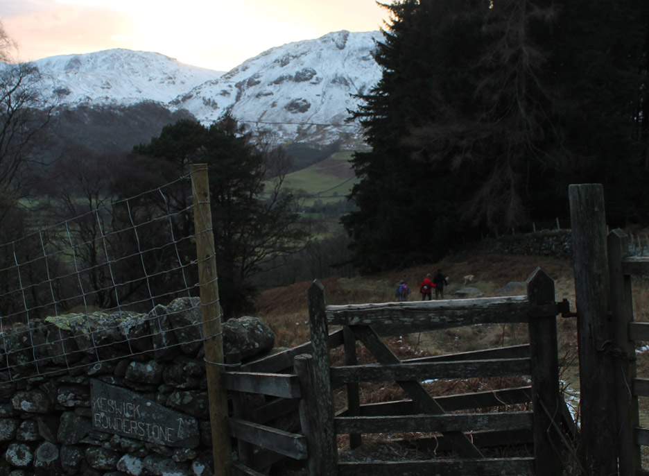
We're heading back to Grange so remember to take the gate to the right, part way down the slope.
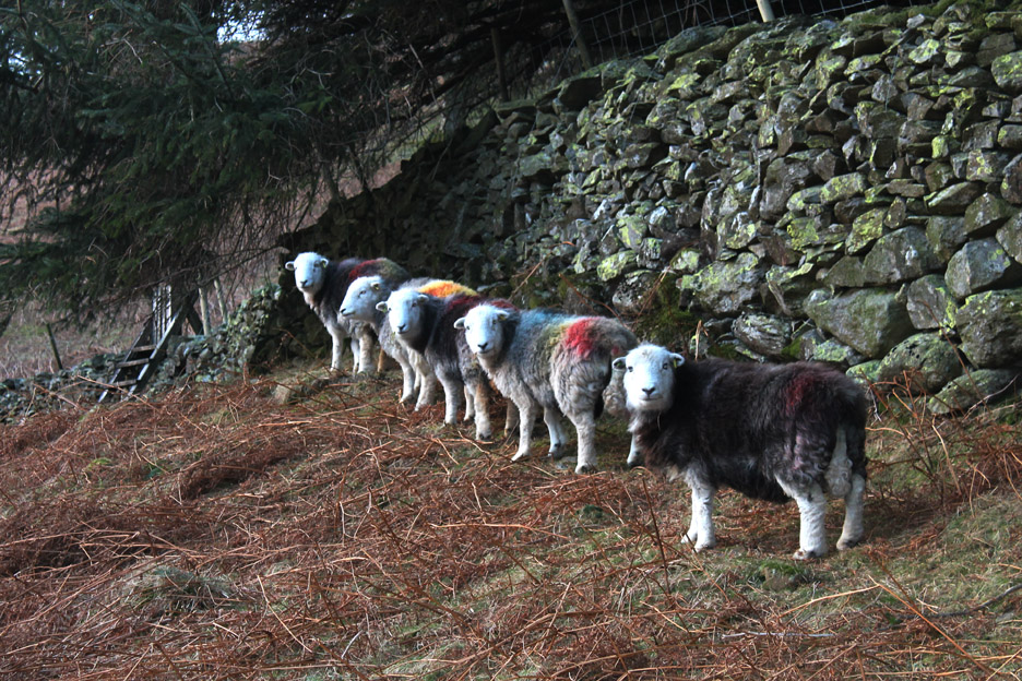
Colourful ladies . . . the farming year has gone full circle with the coloured tupping marks showing the start of the new breeding year for these Herdwick ewes.
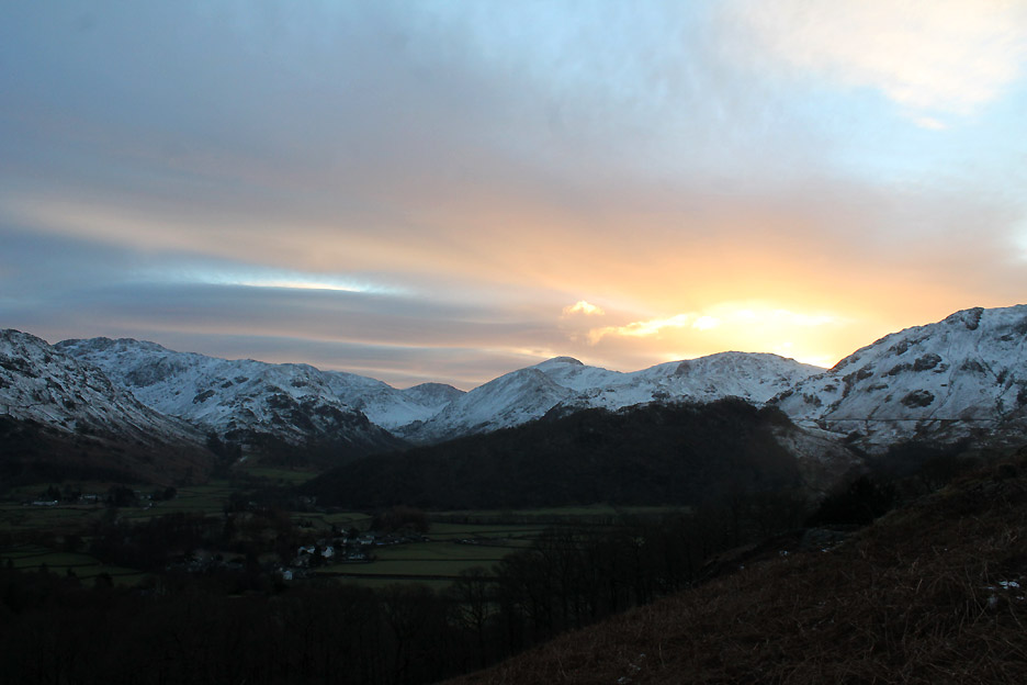
The skies to the west start to change colour as the sun sets over the Irish Sea.
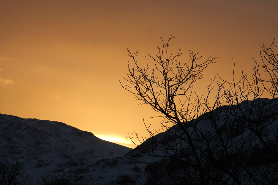
Sunset through Honister Gap.
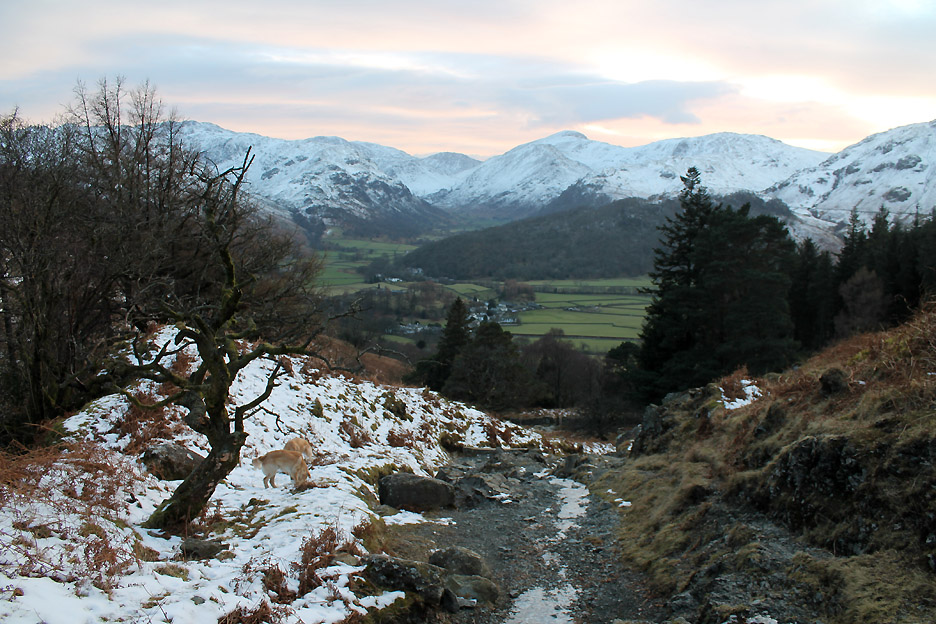
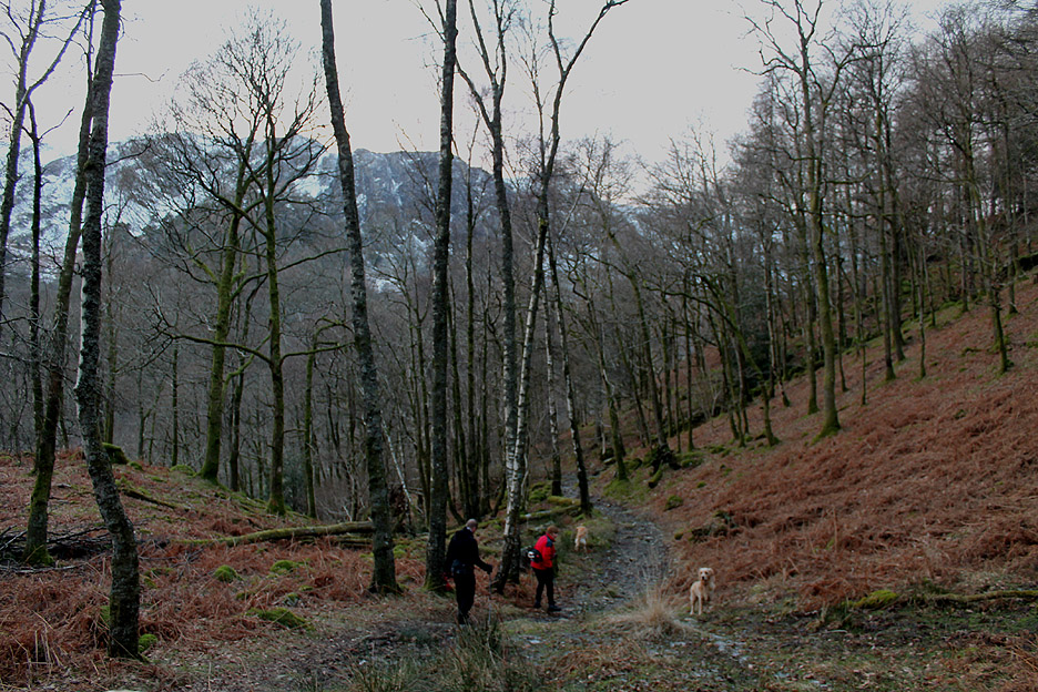
Back into the birch woods as we drop down into Borrowdale once again.
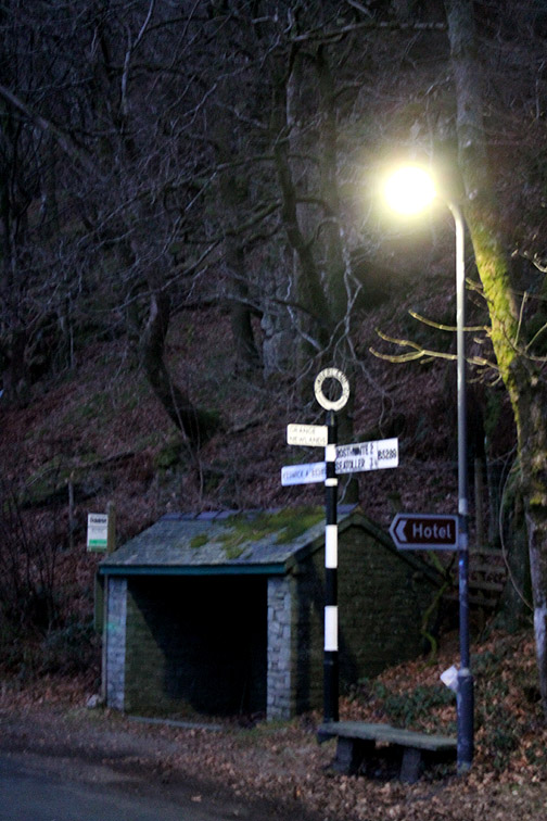
The lights are on . . . and soon the kettle will be on too . . . hospitality by Trevor and Gill with thanks. - - - o o o - - - |
Technical note: Pictures taken with either Ann's Canon Sureshot SX220, or my Cannon 1100d digital camera. Resized in Photoshop, and built up on a Dreamweaver web builder. This site best viewed with . . . supper and three tired dogs. Go to Top . . . © RmH . . . Email me here Previous walk - 2nd February 2015 - Ling Fell in the Feb Snow A previous time up here - 27th October 2012 Kings How ~ Brund Fell Next walk - 5th February 2015 - Cinderdale Lakeside Walk
|