![]()

Remember: Press F11 for a full
screen view of this page.
|
|
|
Remember: Press F11 for a full
screen view of this page. |
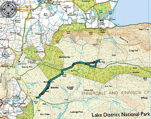
| " Over to Grike for a Sunset " Date & start time: Tuesday 2nd December 2014, 2.20 pm start. ( NY 067 131 ) Location of Start : The Cold Fell road south of Ennerdale Bridge, Cumbria, Uk Places visited : Blakely Rise, Kinney How, Heckbarley and Grike returning the same way. Walk details : 3.75 mls, 1000 feet of ascent, 2 hour 10 mins. Highest point : Grike Fell, 1596 ft - 488m Walked with : Ann and our dogs, Harry and Dylan. Weather : Clear blue skies but a cool breeze. |
© Crown copyright. All rights reserved. License number PU 100034184. |
|
It was a beautiful day and a walk was crying out to be done . . . to heck with the jobs at home. After an abortive drive towards Honister we returned home to collect the missing rucksack and the sandwiches (!) then headed instead to Grike on the west coast to benefit from the westerly aspect and the longer afternoon sunshine.
Two cars parked on the roadside on the Cold Fell Road near Blakely top . . . one of them was ours. [ This is also the parking spot for a westerly ascent of Lank Rigg and Whoap.]
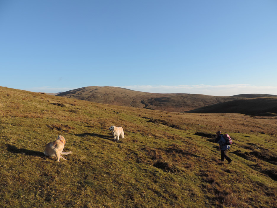
Blakely is a rounded western fell and as a consequence you can't see the summit from below. Ann and I head generally upward enjoying the views over to Lank Rigg on our right.
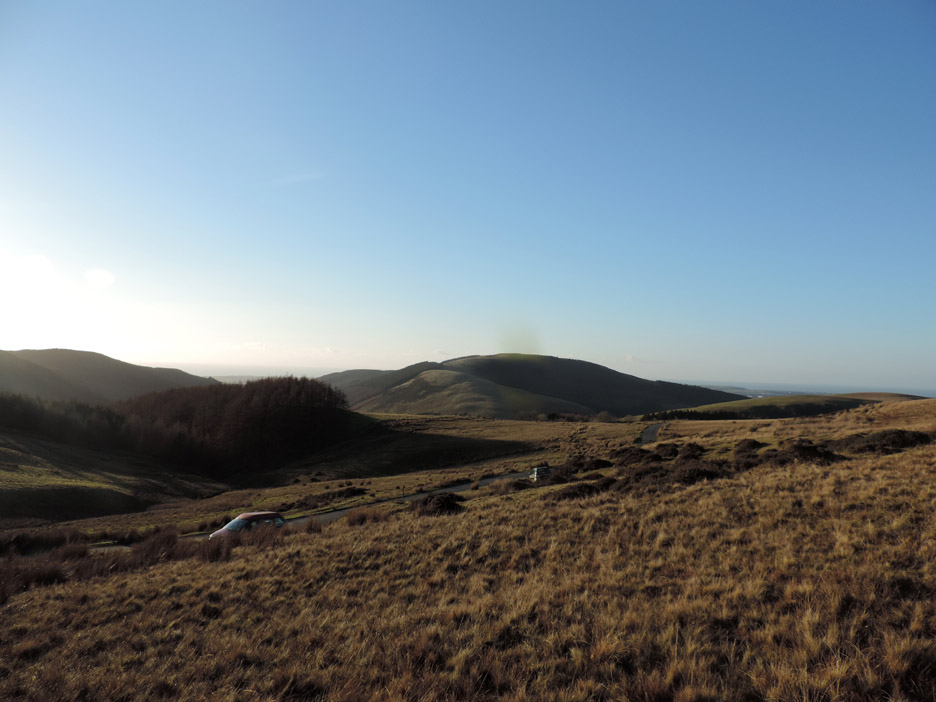
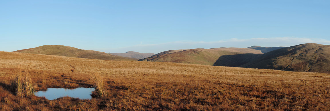
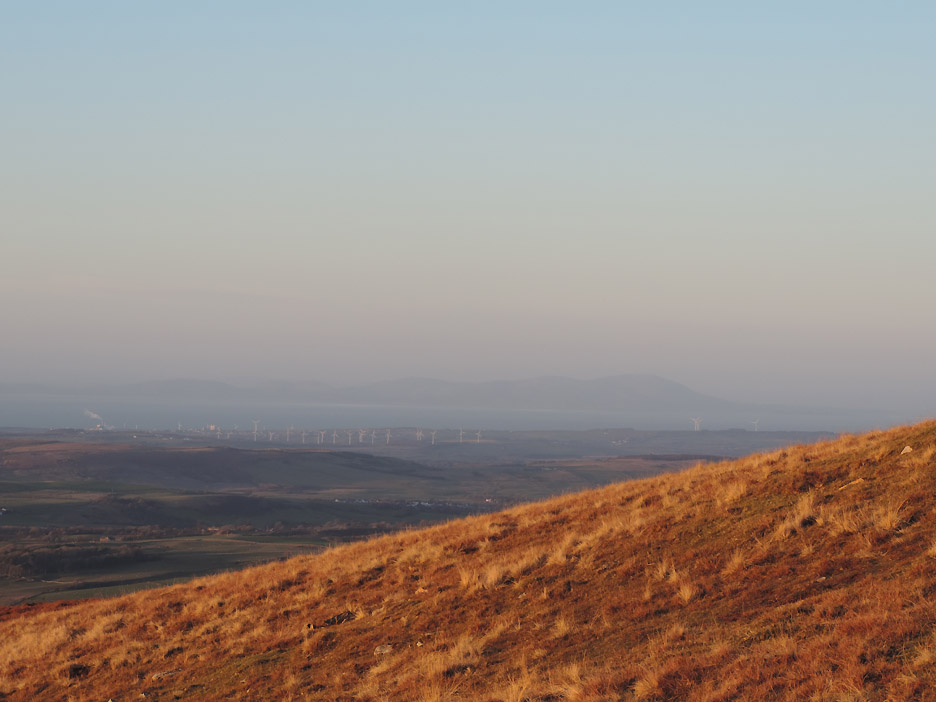
As the slope eases near the top we have wider views east. Crag Fell is to the left here, Whoap and Iron Crag in the centre and Lank Rigg now off to the right. The un-named ones over the back ? . . . The High Stile ridge (centre) and Haycock the high peak in the distance.
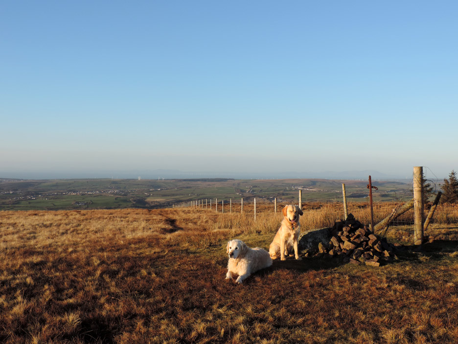
The landmark corner post and cairn on Blakely Rise . . . with two landmark dogs.
A close up on High Stile and High Crag that face over to the Buttermere Valley on their reverse side.
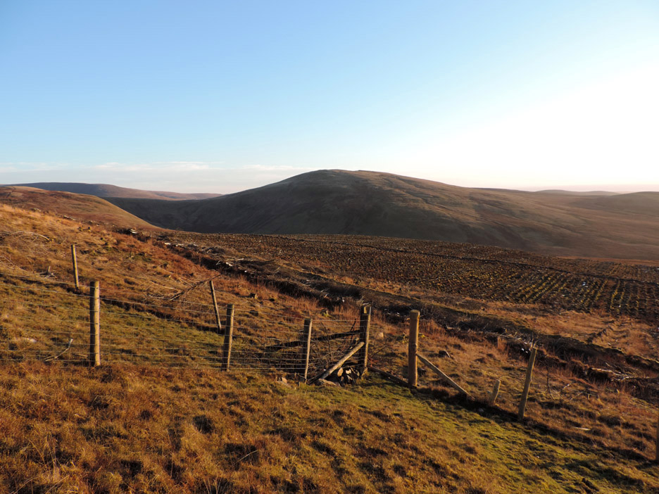
Tree clearance in recent years has opened out the junction of the forest tracks. The low sun casts a shadow over the small stream and boggy puddle. Our way onward climbs up alongside the fence opposite, back into the sunshine.
Due to the high fence and stile by the gate we pass on the obvious route and walk further up the fell track, hoping to avoid crossing it completely. Our plans were thwarted by the third fence that continues on and blocks our way to the top, so we had to cross it anyway.
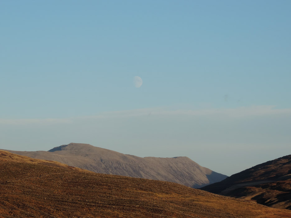
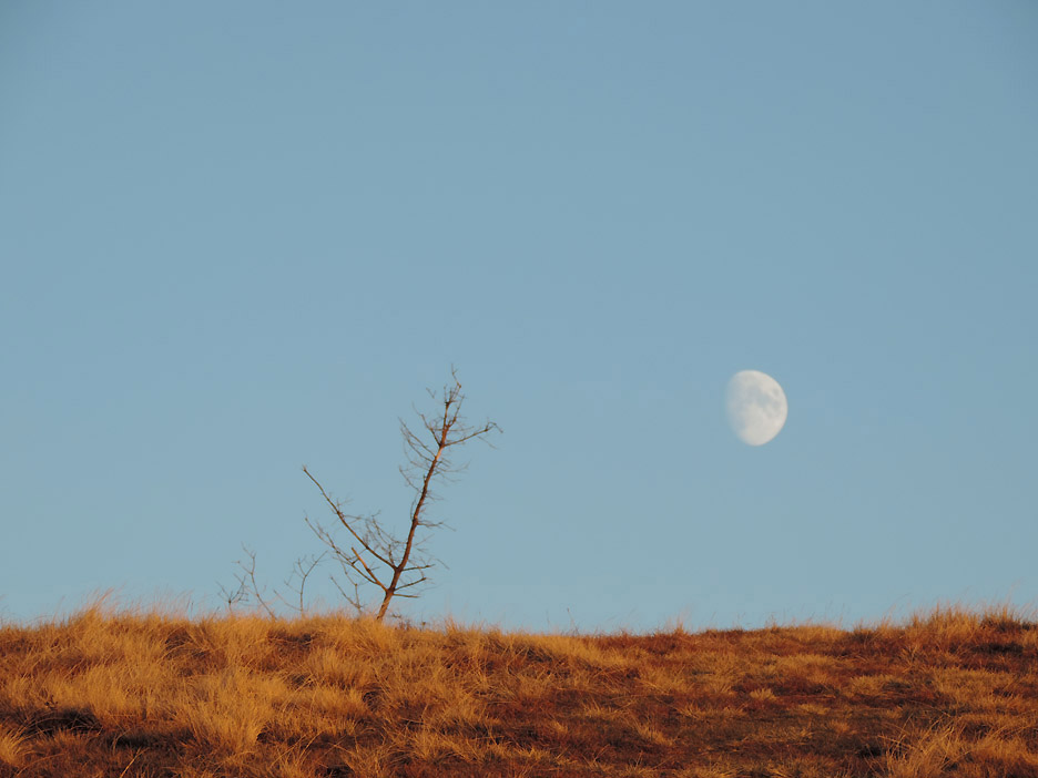
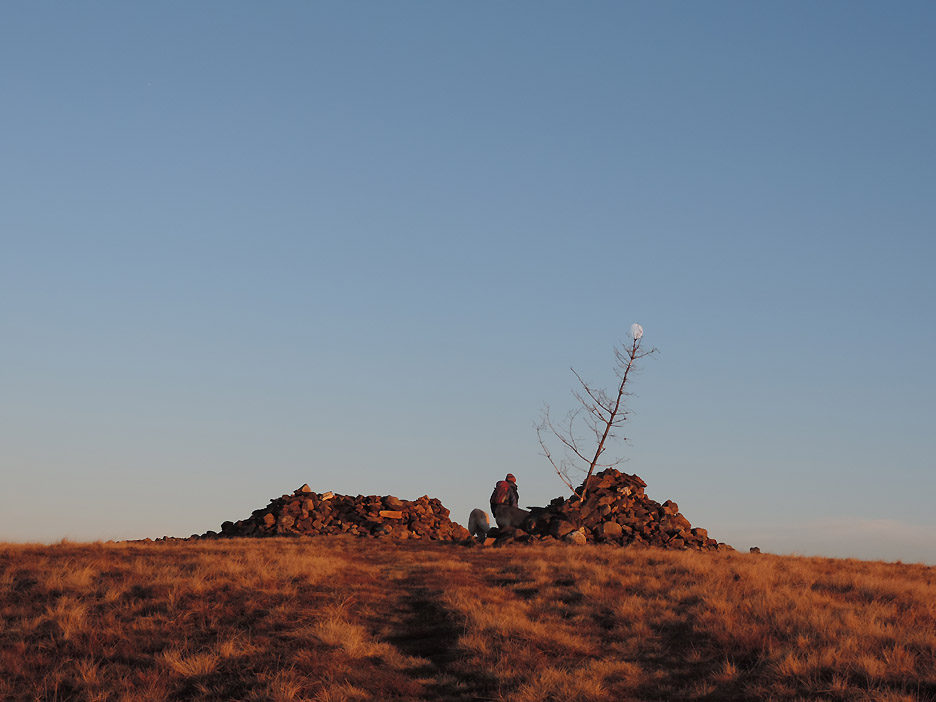
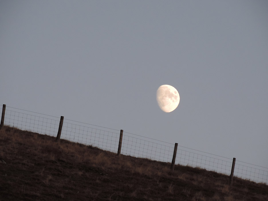
Nearing the summit the moon rises above the closer horizon.
Like a bauble on a Christmas tree, the moon hovers over the summit cairn and shelter on Grike.
I didn't think we had a current Moon Project on the go at present ?
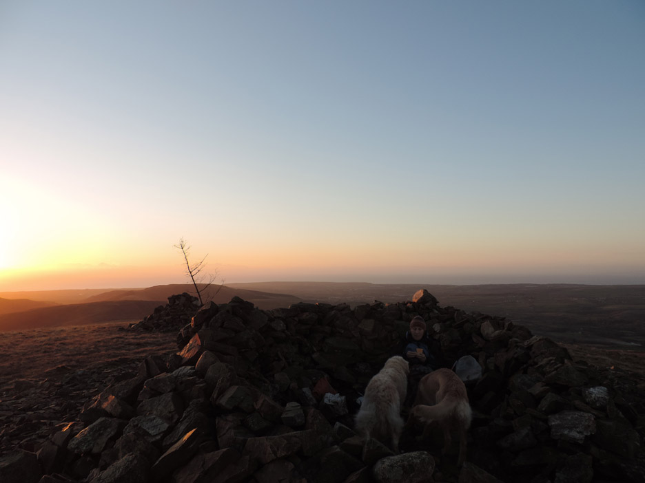
Chance to get out of the gentle but cool breeze . . . and time to open those well-travelled sandwiches !
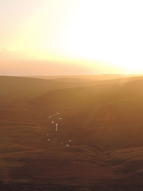
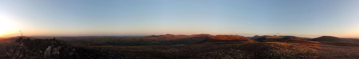
The view east from the summit shelter as the shadows lengthen. This is the precursor to the panorama below.
Click here or on the photo above for a Loweswatercam 330 degree annotated panorama It would have been a full circle but the camera really couldn't cope with taking a picture into the bright sunlight.
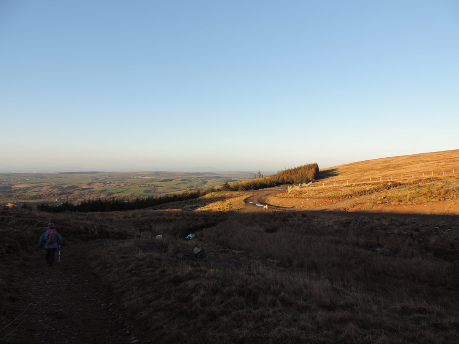
Time to be heading back . . . It took us over an hour to walk here and there's not that much daylight left.
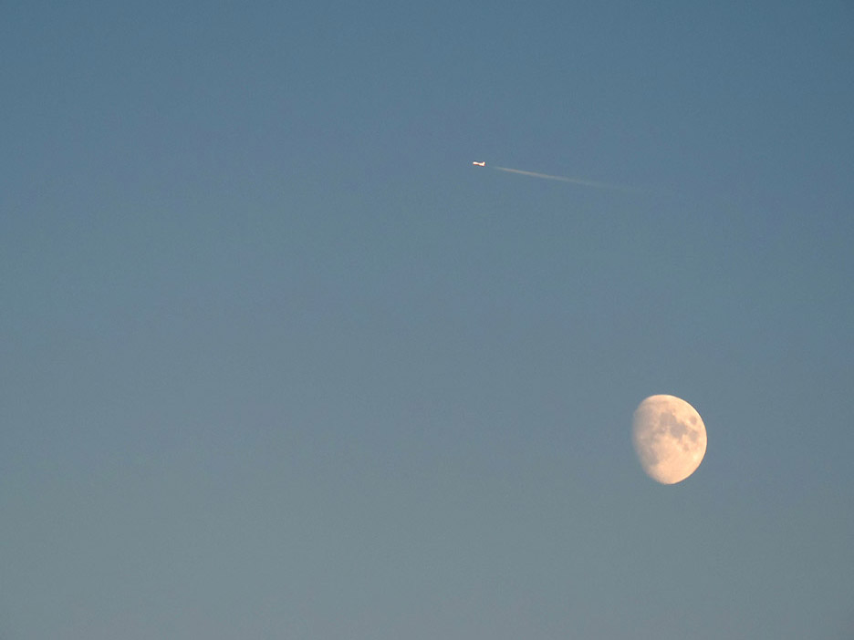
A last view of the moon for a while as it dips below the fence on Grike.
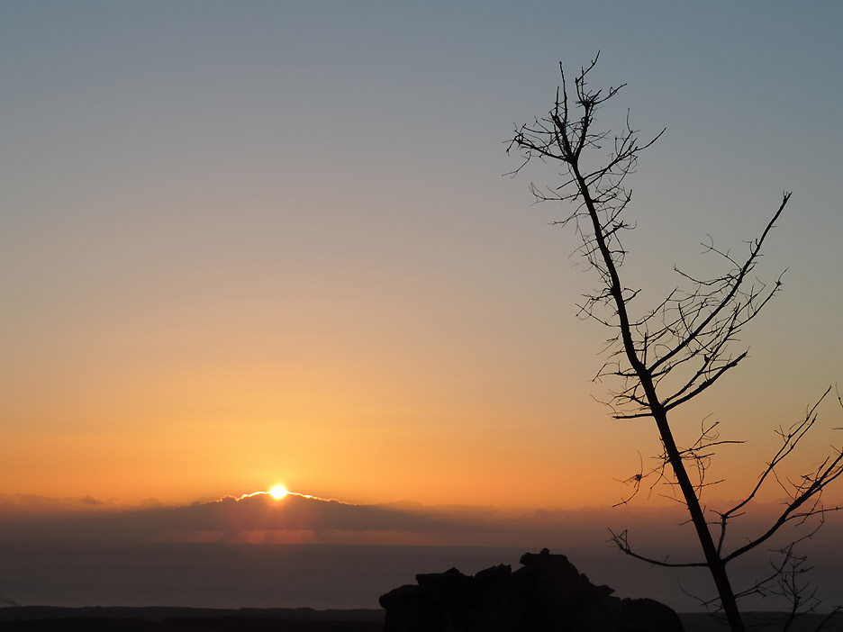
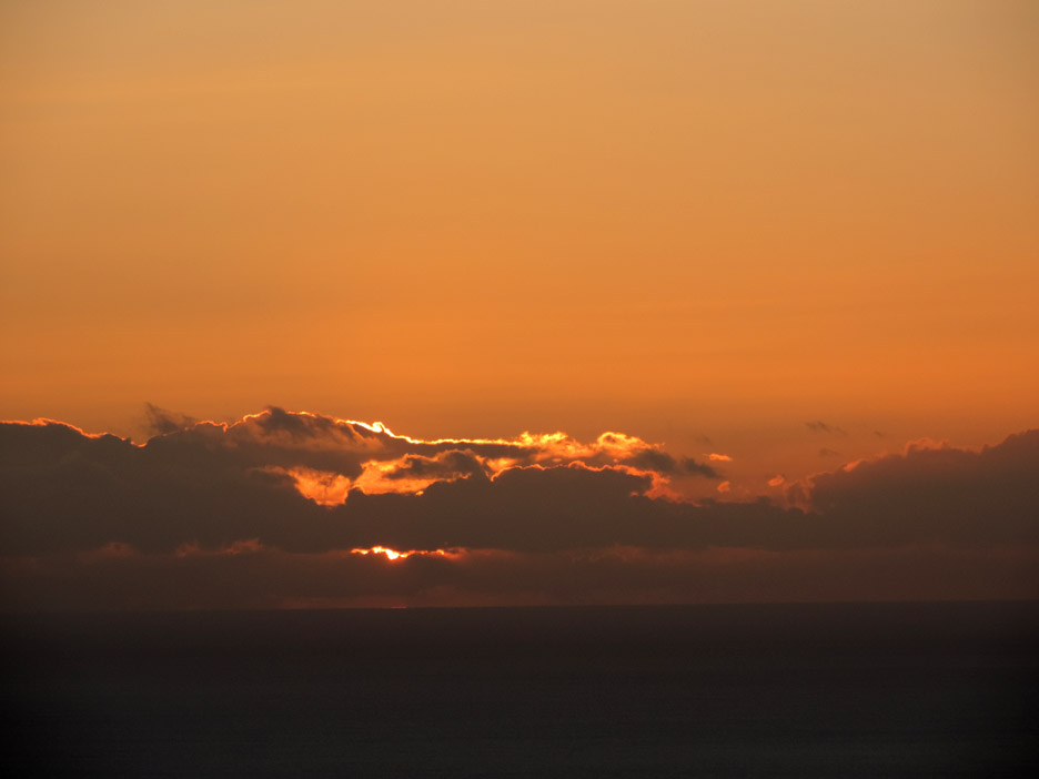
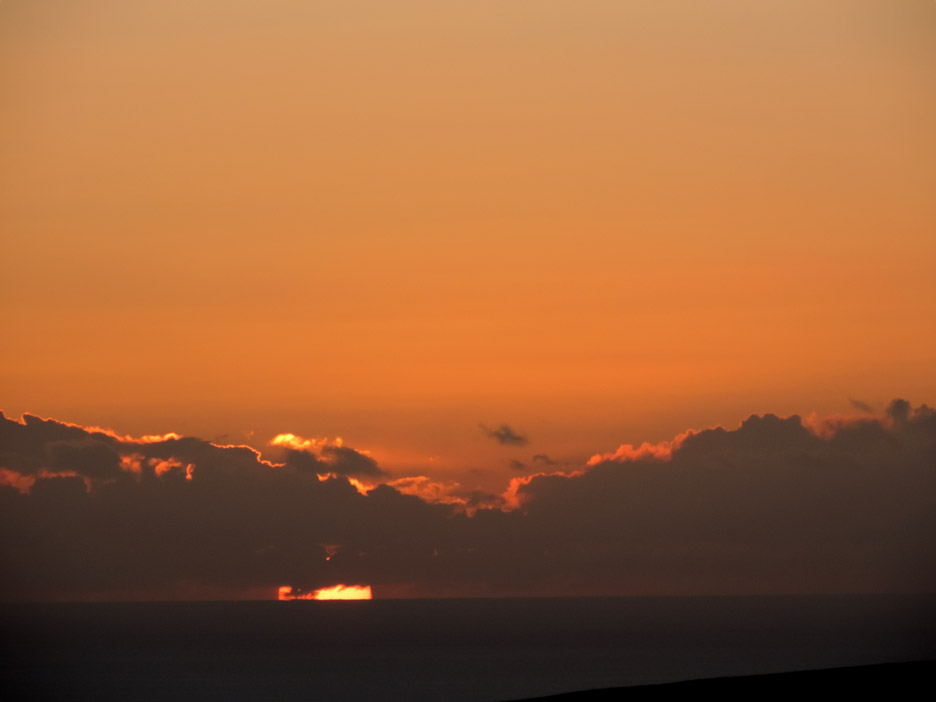
The sun descends into the cloud giving a wonderful yellow glow.
A short while later . . . as the sun and the sea collide.
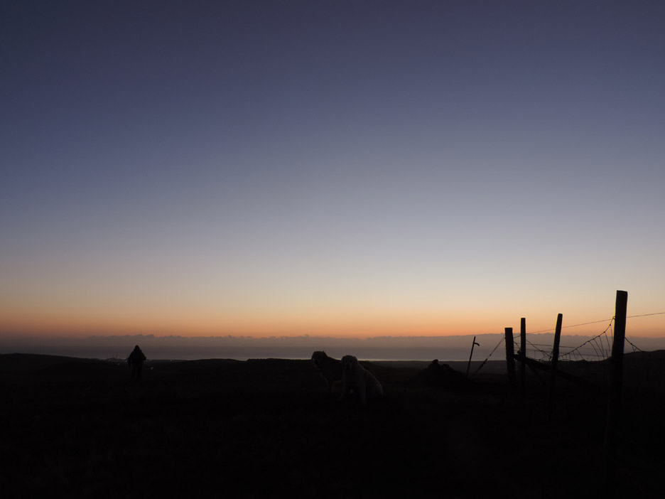
The sun has set completely as we leave Blakely . . . the dogs are back where we saw them earlier.
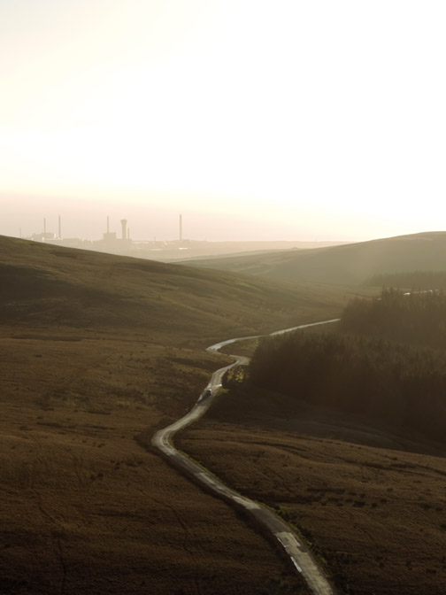
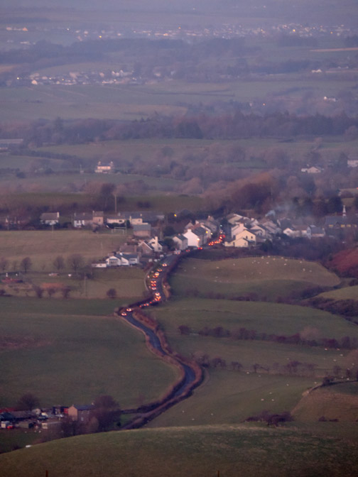
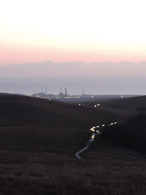
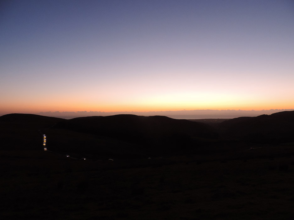
The lights on the Cold Fell road lead our way back to the car. - - - o o o - - - |
Technical note: Pictures taken with my Nikon P520 digital camera. Resized in Photoshop, and built up on a Dreamweaver web builder. This site best viewed with . . . the ability of the eyes to adjust to the growing darkness better than the camera. Go to Top . . . © RmH . . . Email me here Previous walk - 30th November 2014 - A Darling Holly Tree A previous time up here - 5th April 2009 Grike and Crag Fell with the family Next walk - 2nd December 2014 - Spiraling up Knock Murton
|