![]()

Remember: Press F11 for a full
screen view of this page.
|
|
|
Remember: Press F11 for a full
screen view of this page. |
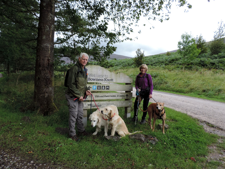
| " Bowness Knott in Ennerdale " Date & start time: Sunday 12 th August 2014, 3 pm start. Location of Start : The Bowness Knott car park, Ennerdale, Cumbria, Uk ( NY 110 153 ) Places visited : Bowness Knott, Smithy Beck, Dry Beck and return by the lake. Walk details : 3.5 mls, 850 feet of ascent, 2 hour 15 mins. Highest point : Bowness Knott, 1082 ft 333m Walked with : Jo, Ann and the dogs, Amber, Harry and Dylan. Weather : Overcast, breezy, threatening rain as we left home. |
" Bowness Knott in Ennerdale " at EveryTrail [ Alter the settings to zoom or change the Map, use Everytrail to download the Gps route ] |
|
Jo is over and the weather is poor . . . hopefully no connection. A lower level walk is needed and Ennerdale comes up trumps with brighter weather and no rain. A new summit for Jo, only the second time at this summit cairn for us too.
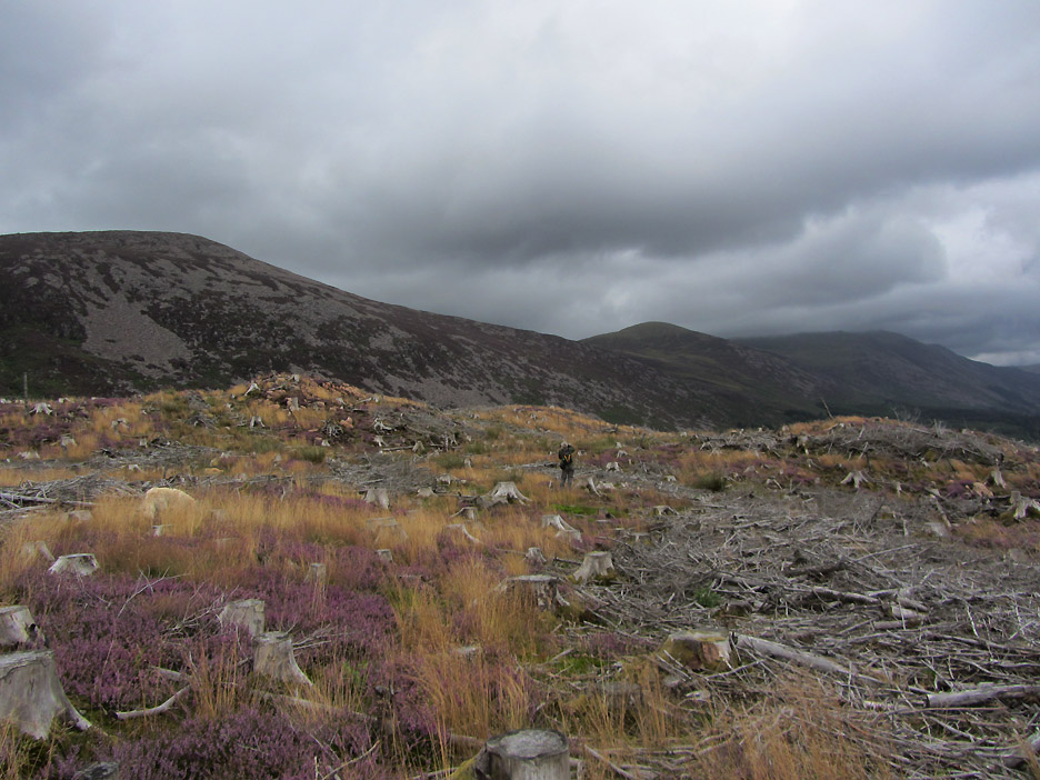
After a quiet morning and and lunch at home we find ourselves in Ennerdale. After some time pondering over the map we had the inspiration to try this walk again now that the cleared forestry at the top of the minor fell should have settled back to to a reasonable level of wildness. Four years ago it was a nightmare bash through recently cleared trees.
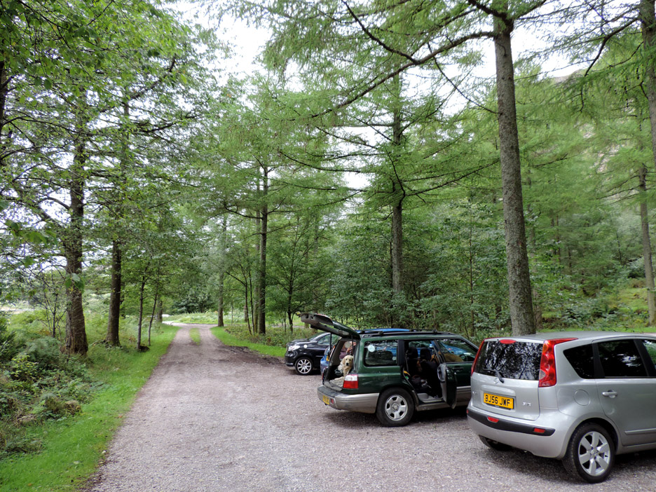
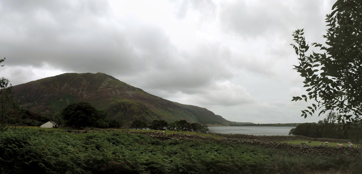
Car parking at Bowness Knott car park is extensive enough to find a place easily. Bowness Knott itself is way up to the right . . . we'll need a round about route to get there.
That starts by walking back along the road past the old farmhouse that gives its name to the area . . . Bowness.
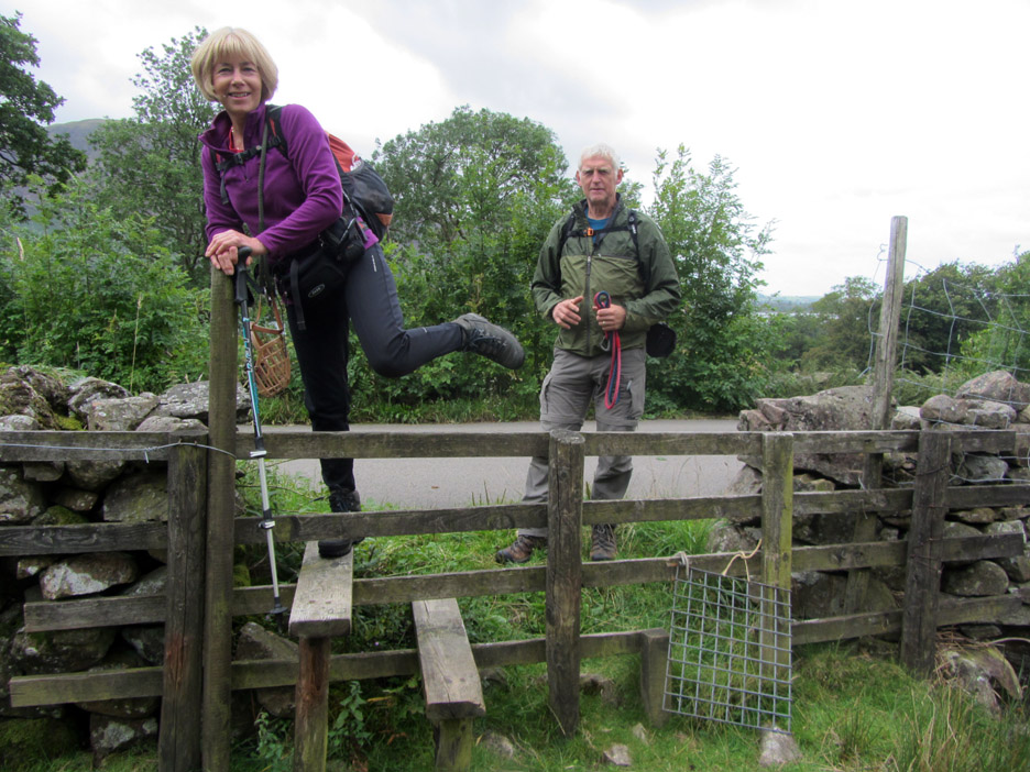
Jo getting her leg over . . . in the nicest possible way (as Kenny Everett used to say). The stile leads us out onto the open fell. The dogs were able to use the small opening with the mesh cover.
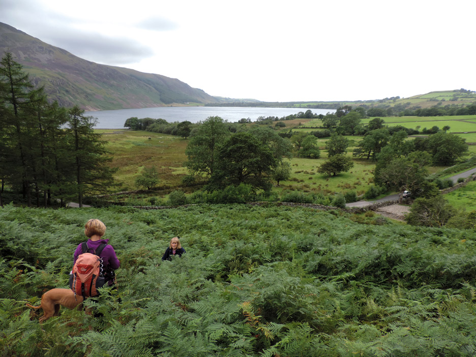
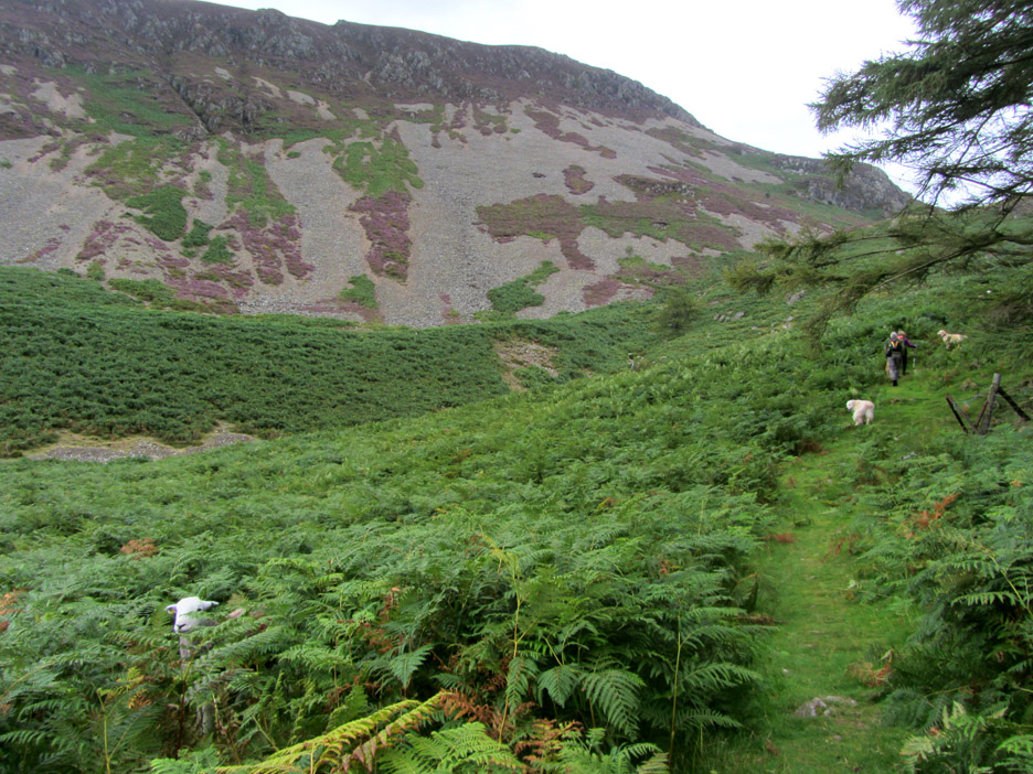
Summer and the bracken is high . . . the stile can be seen down by the roadside.
The high bracken also hides surprises . . . Baa.
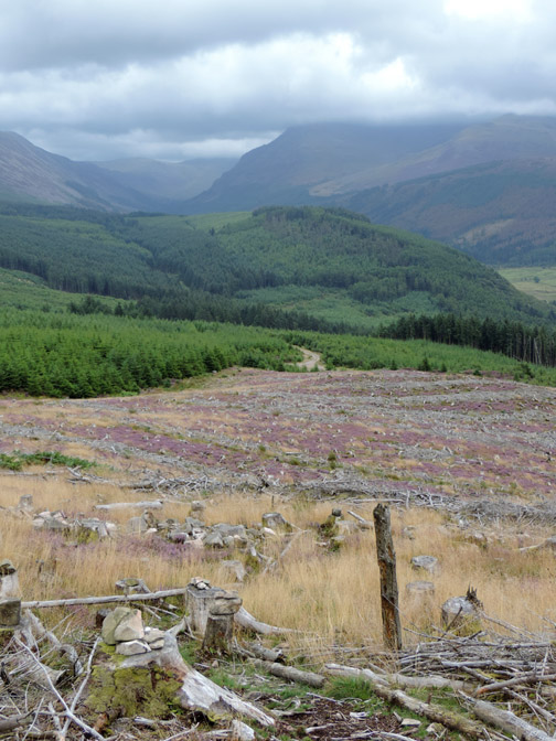
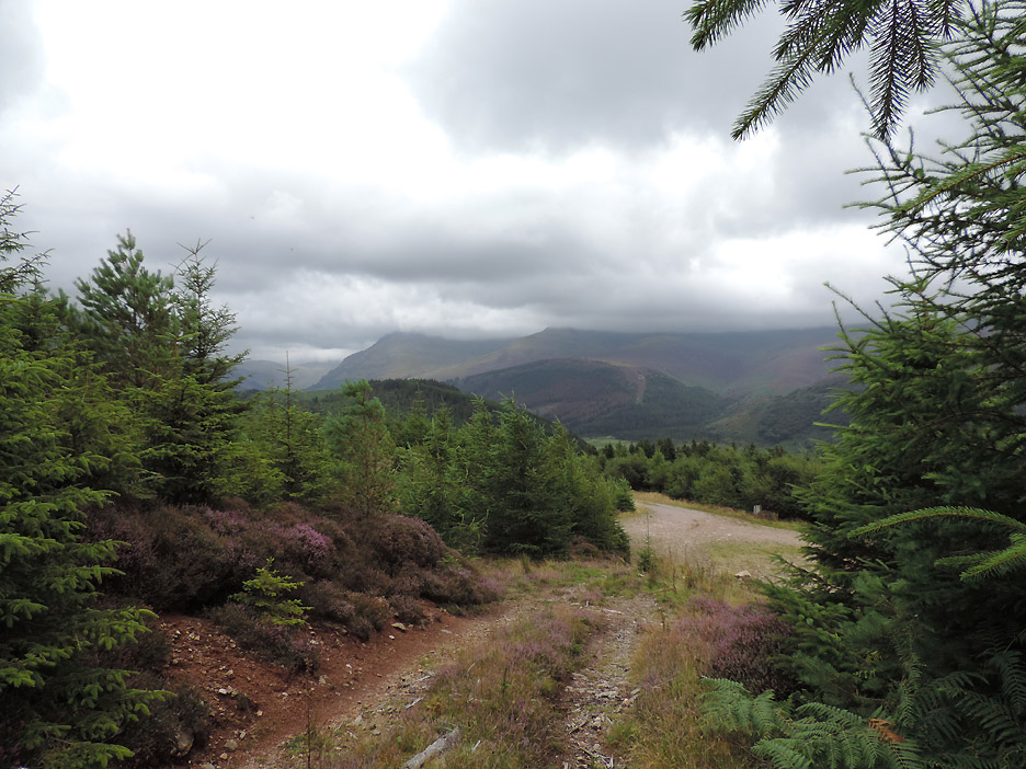
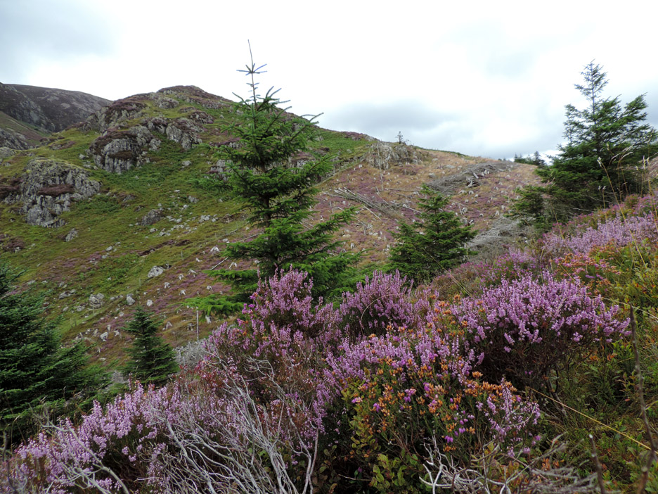
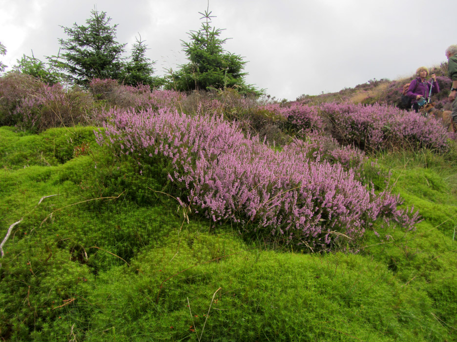
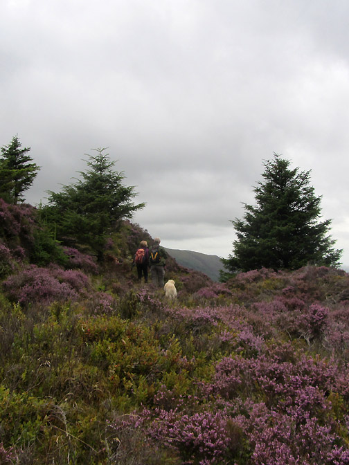
Over the stile and we are into the forestry, but this section was never commercially planted so never disturbed. The late summer has led the heathers to burst into flower with their classic purple colour covering this part of the fell side.
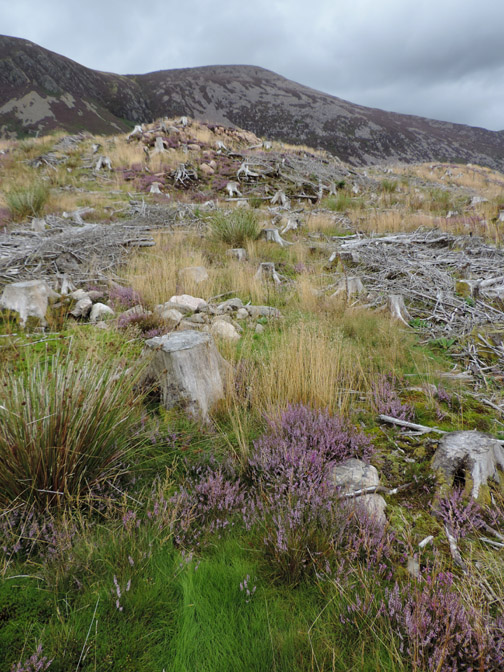
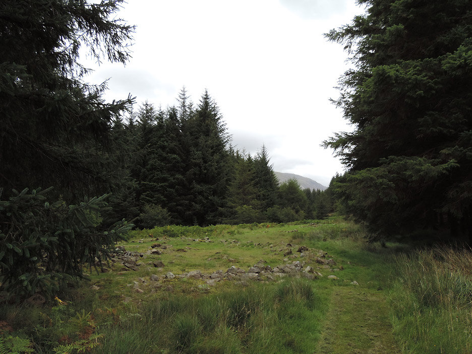
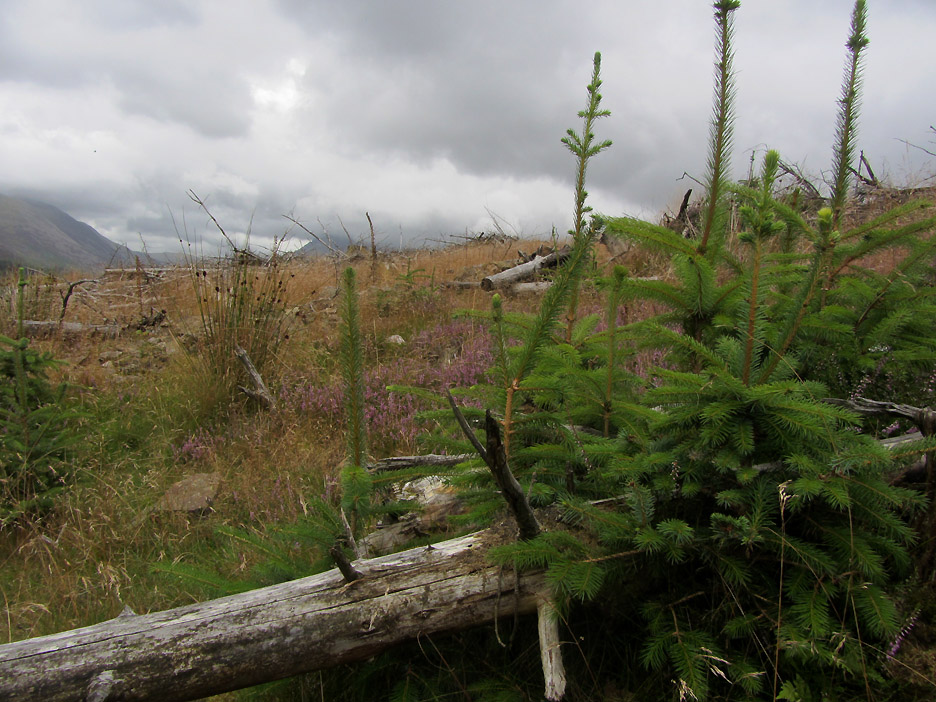
Where the forestry was cleared, four years of naturalisation has allowed the moorland grass to re-grow between the brash.
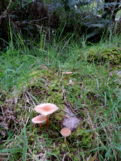
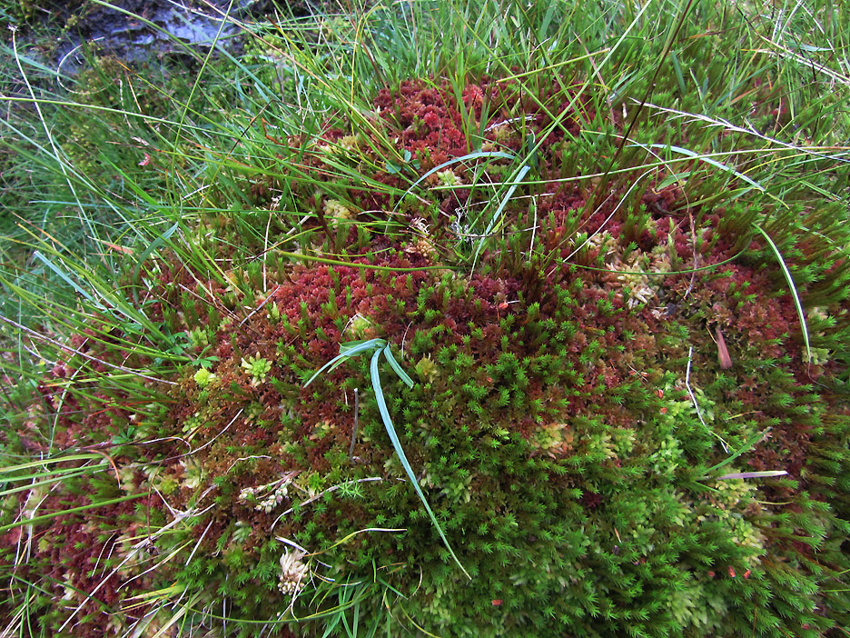
A lovely, large patch of sphagnum moss, different colours from slightly differing varieties presumably. In there are a few other types of plants as yet unidentified.
An almost iridescent green patch of moss surrounds a patch of bright purple heather.
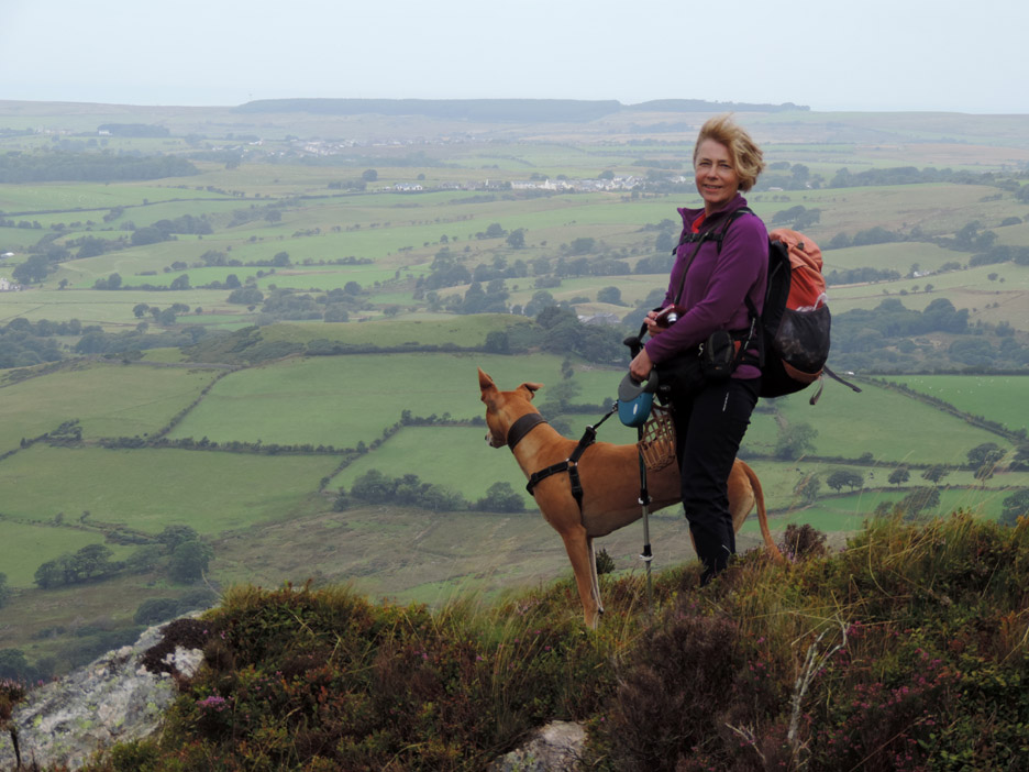
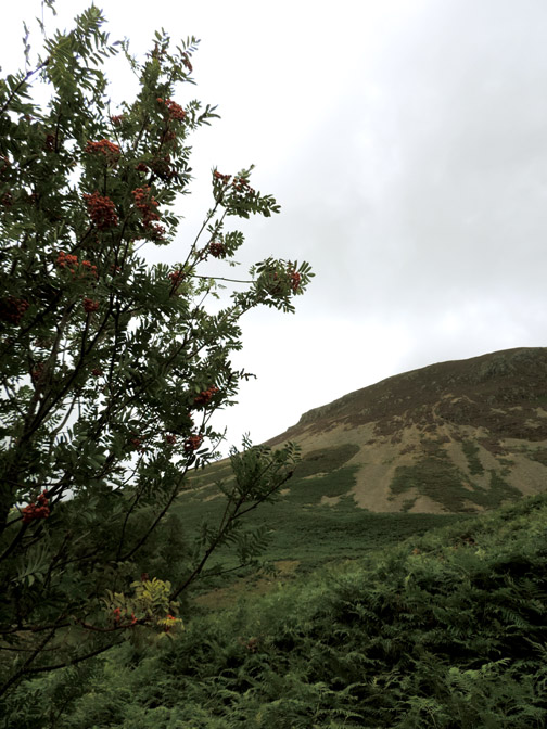
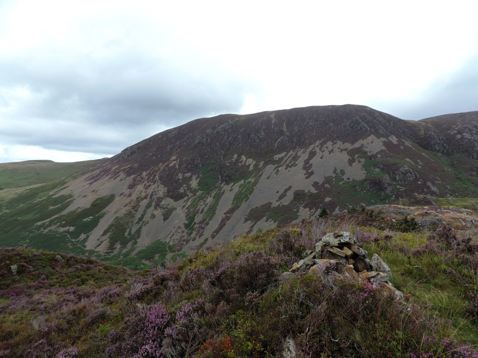
The summit cairn of Bowness Knott. Behind is Herdus, the western crags of Great Borne fell. This ascent using a more direct route was a lot easier than the one fighting our way through cleared forest that we used last time.
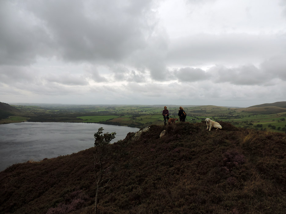
We gravitate down and across the to the viewpoint a little closer to the edge.
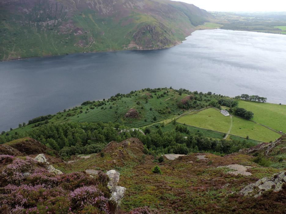
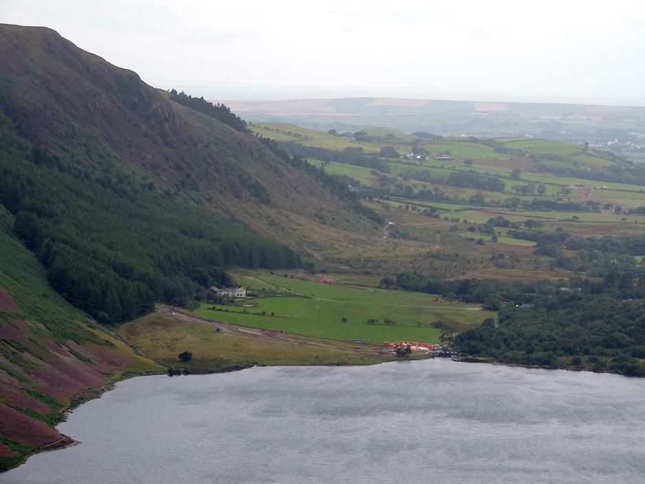
Looking down to the car park, now well below us . . . to the right is the Bowness farmhouse again, presumably now a private home or bothy.
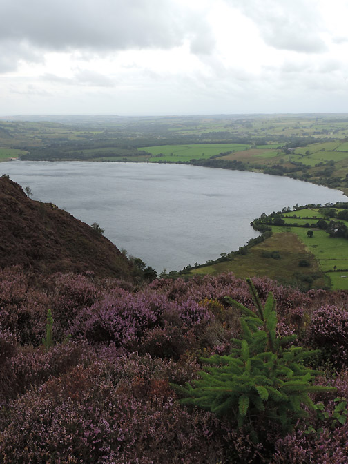
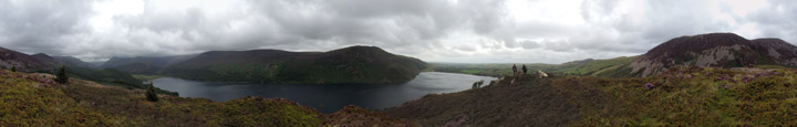
Standing a short way back from the girls I catch a full panoramic view of the scenery. Click here or on the photo above for a Loweswatercam 360 degree annotated picture
Zooming in on the foot of the lake . . . there are the buildings of the United Utilities site works. Presumably the river is flowing over the weir again as the lake level is back to normal after recent rains. The work seems to involve a second pipeline away towards the Cold Fell road, there are diggers in the second field and in the distance.
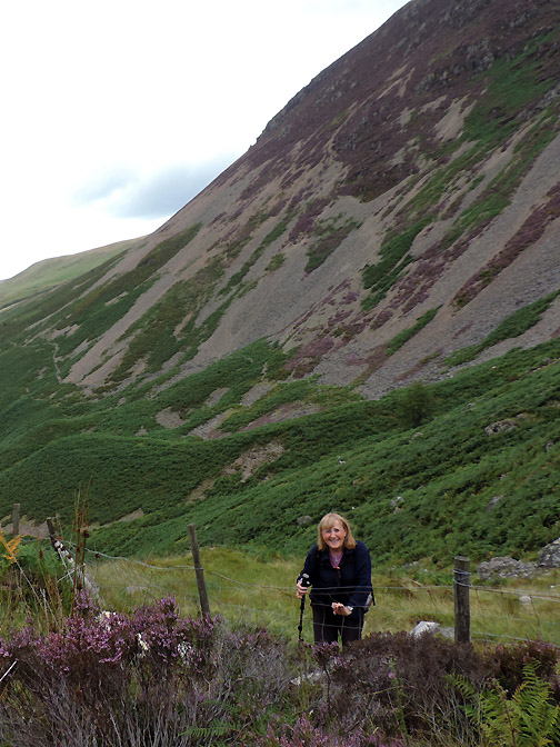
As the girls moved back from the edge Jo stops and turn for this "first time on Bowness Knott" type photo.
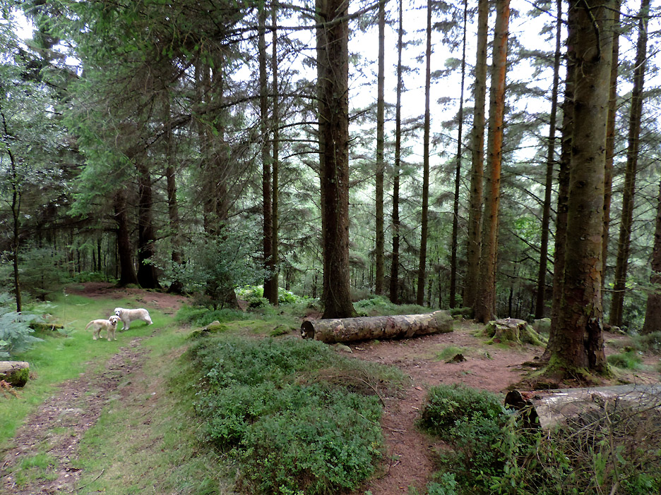
Now for the fun and games of finding our way through this lot as we plan not to return by the same path as we used on the way up . . . that's me trying to scout for an easy way through.
If you look carefully you can see stones cairns on top of tree trunks and the occasional straight log, lined up to form a path edge.
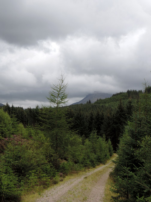
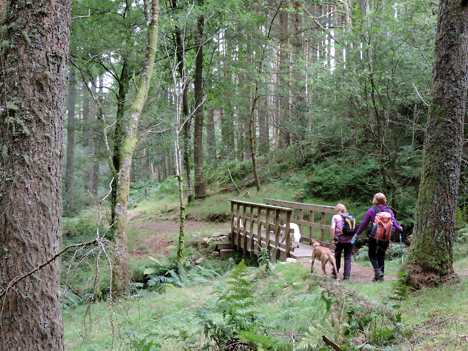
We cover the ground easily by using the path and now the forest track is guiding us slowly downhill.
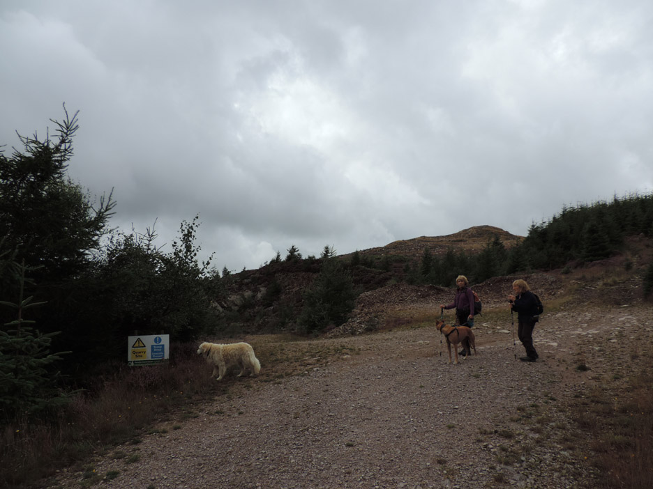
It seems that this hidden quarry still supplies gravel for making and repairing the forestry roads of the valley.
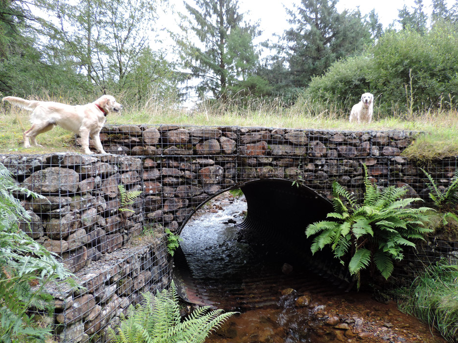
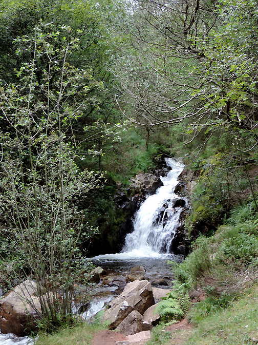
A simple but effective stone bridge allows the forest track to cross Smithy Beck.
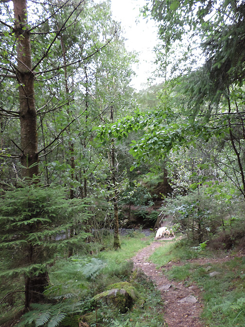
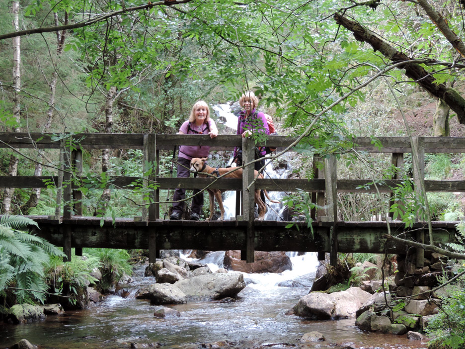
We join the Smithy Beck Trail and continue on down towards the lake once again. Rather than take the direct route to the lake we turn right and trace the marked path back through the trees.
It has a substantial bridge so the river must be running all the time.
Onward along the trail leads to other bridges, following a well graded path.
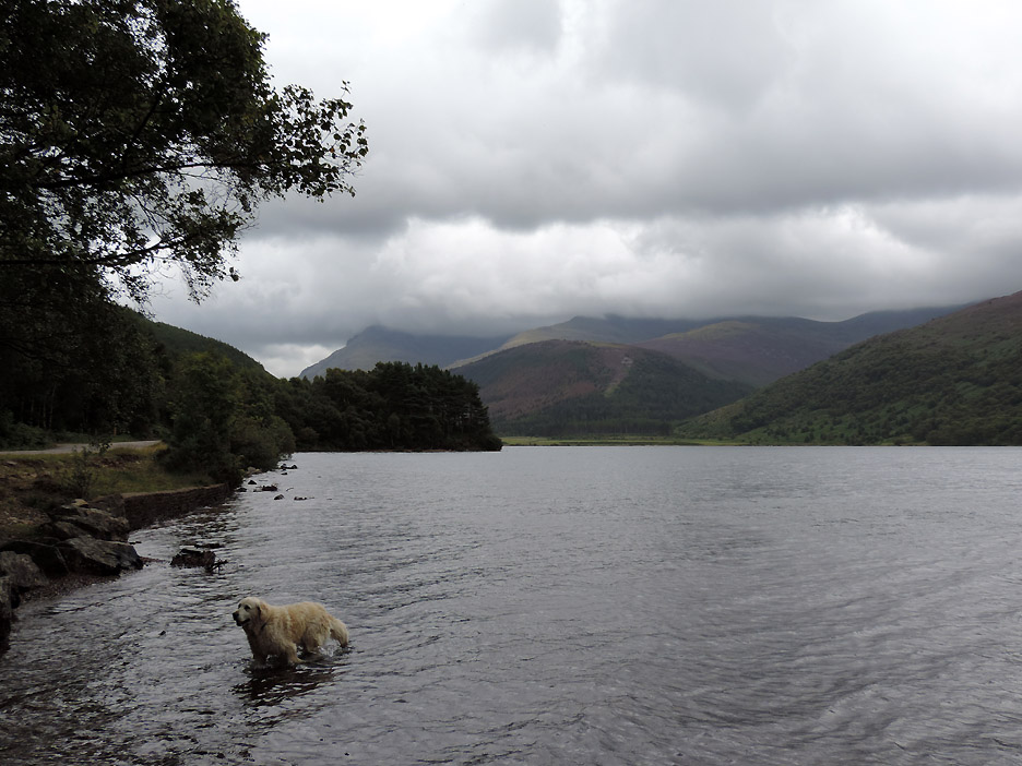
Harry first in for a swim . . . and the last in too !
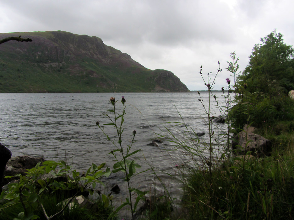
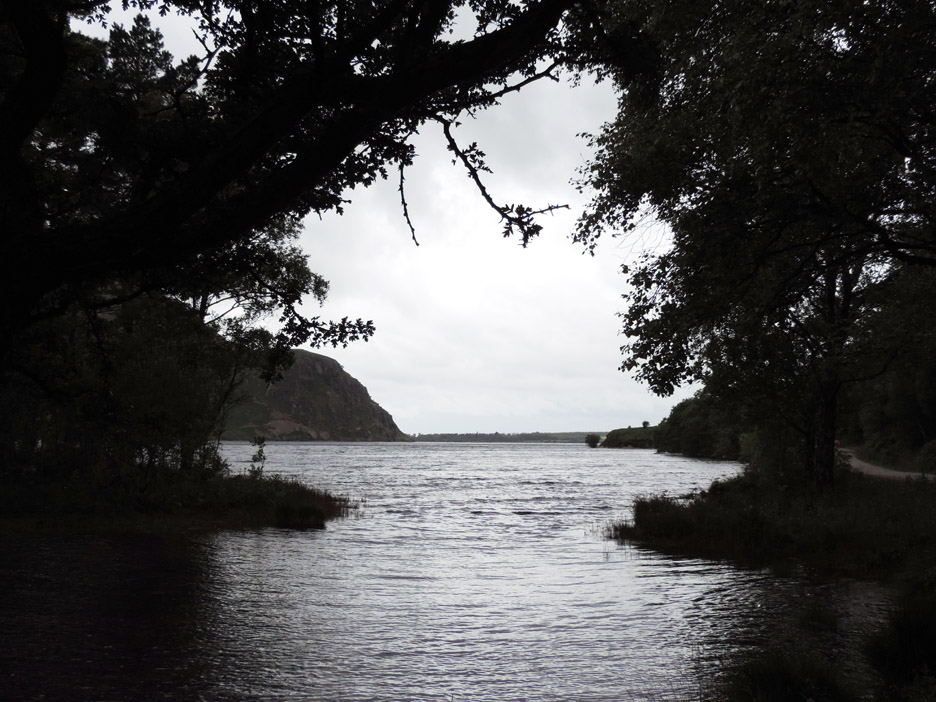
Crag Fell, the Pinnacles and Angler's Crag on the other side of the lake.
The pool next to the picnic tables is full again, confirming the normal height of the lake has been re-established after the dry summer period. From here the lakeside road climbs slightly back to the car park and the end of the walk. - - - - o o o - - -
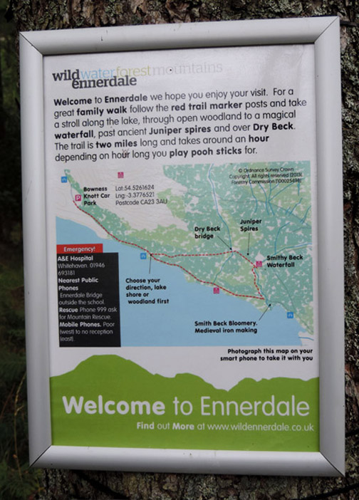
Keen readers will note the modern suggestion on the right . . . "photograph this map on your smart phone to take it with you." Me . . . I prefer an O.S. version . . . albeit printed A4 from Memory Map before our last walk . . . filed, found and re-used today. - - - o o o - - - |
Technical note: Pictures taken with either Ann's Canon Sureshot SX220, or my Nikon P520 digital camera. Resized in Photoshop, and built up on a Dreamweaver web builder. This site best viewed with . . . an easier route to the top of Bowness Knott. Go to Top . . . © RmH . . . Email me here Previous walk - 9th August 2014 - Sale Fell and Lothwaite A previous time up here - 21st April 2010 Bowness Knott and Contrails Next walk - 19th August 2014 - Hen Comb with Mark & Gill
|
 #
#