![]()

Remember: Press F11 for a full
screen view of this page.
|
|
|
Remember: Press F11 for a full
screen view of this page. |
| " A Devoke Water Round " Date & start time: Thursday 7th August 2014, 12.10 pm start. Location of Start : The moorland signpost, the Birker Fell road, Cumbria, Uk ( SD 171 977) Places visited : Rough Crag, Water Crag, White Pike, Yoadcastle, Woodend Heights and Seat How. Walk details : 6.5 mls, 1750 feet of ascent, 5 hour 15 mins. Highest point : Yoadcastle Fell, 1605ft - 494m. Walked with : Ann and our dogs, Harry and Dylan. Weather : Sunshine and blue skies . . . again ! |
" A Devoke Water Round " at EveryTrail [ Alter the settings to zoom or change the Map, use Everytrail to download the Gps route ] |
|
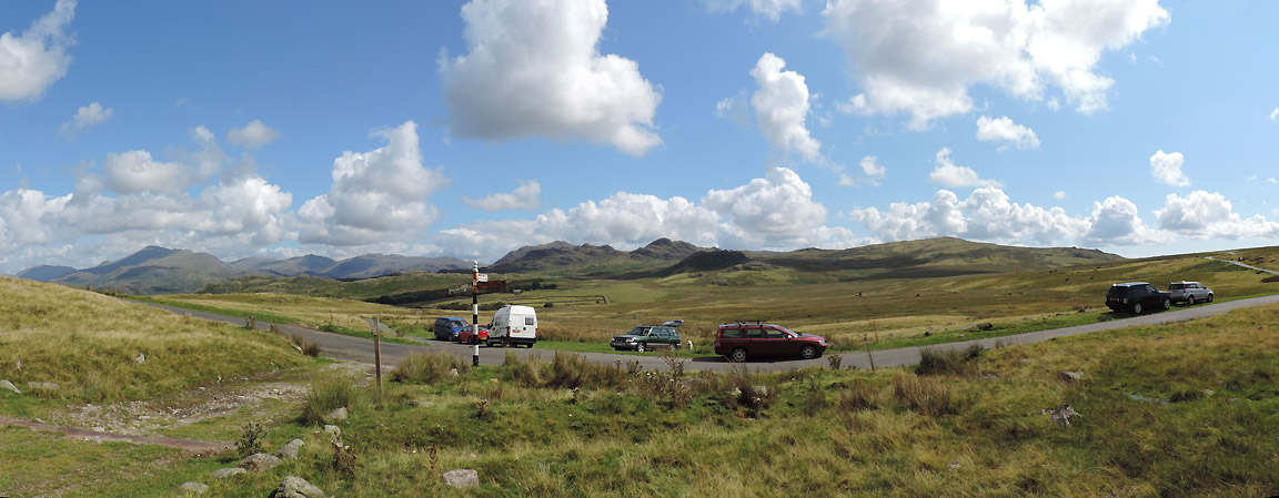
A fine weather forecast for the whole day finds us travelling down the west coast of the Lakes for a walk around Devoke Water Chance for Ann and I to get out on our own . . . but no level stroll this one as it includes the six summits that surround the lake. [ It actually features as a circular walk in Wainwright's Outlying Fells book if you want more detail.]
Parking at the signpost in the middle of the Birker Fell Road.
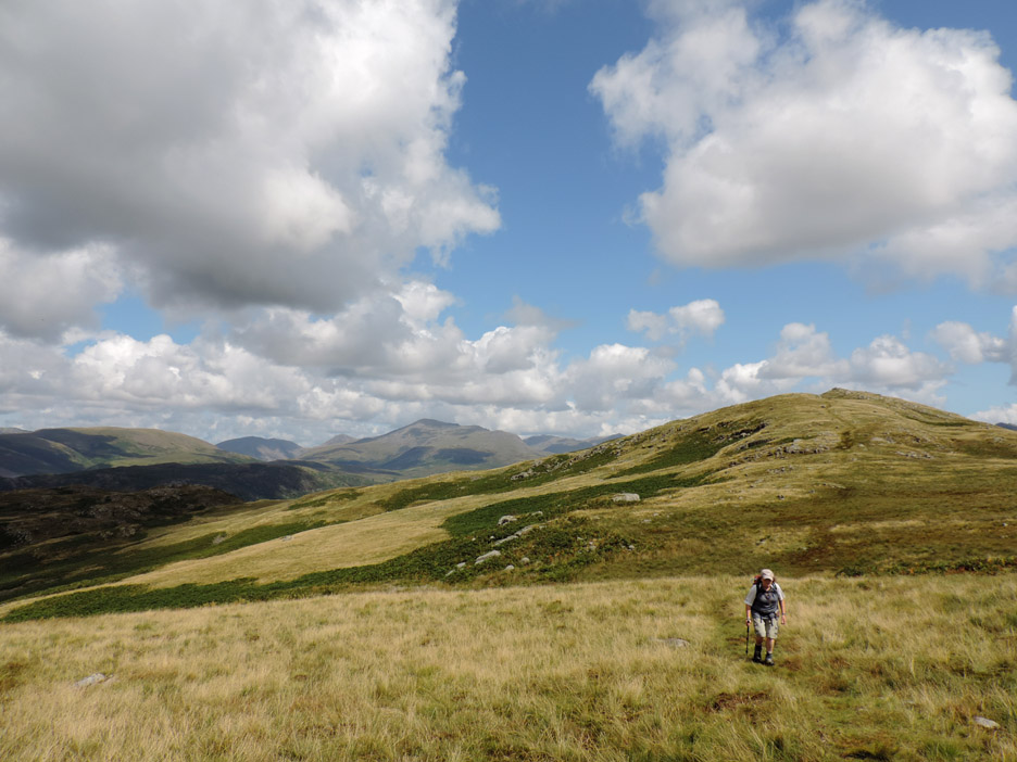
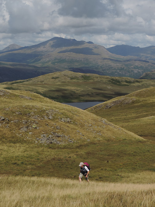
We head off along the track and through the open gate, heading west and slowly gaining height.
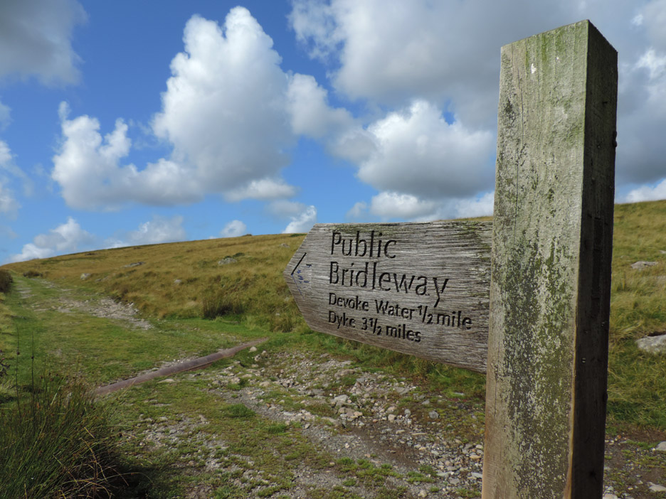
At the highest point we strike off across up the grass towards Rough Crag. [ The point to leave the track is the highest point where you get your first glimpse of the lake ]
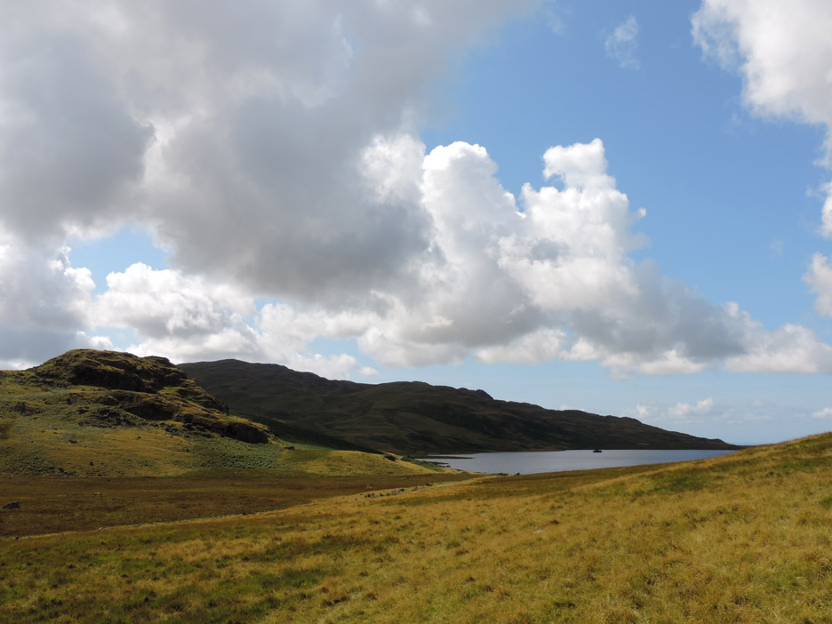
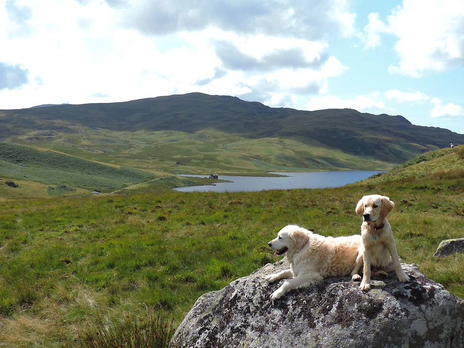
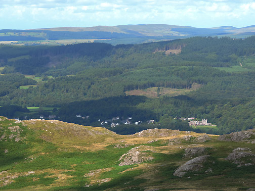
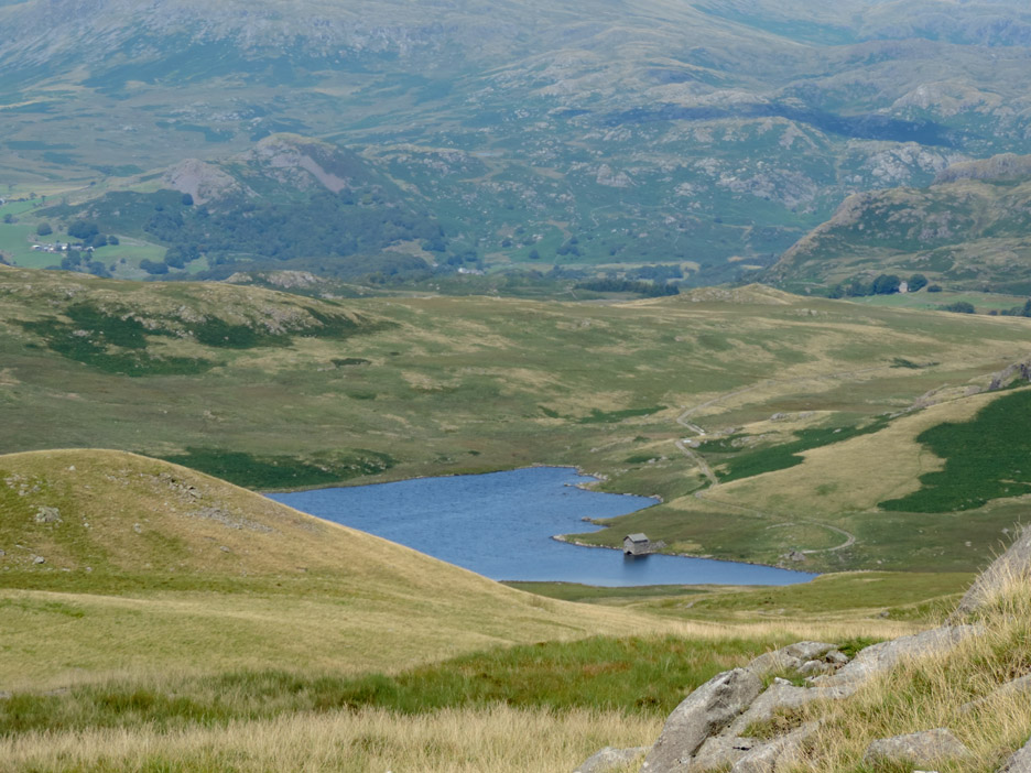
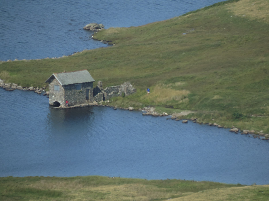
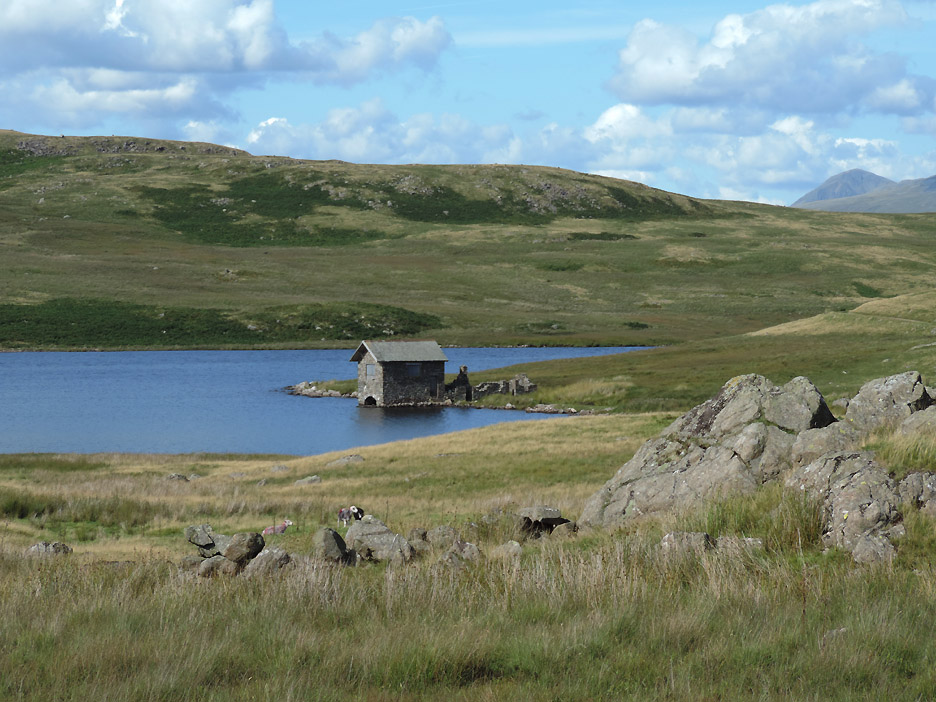
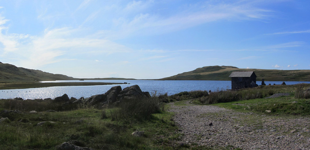
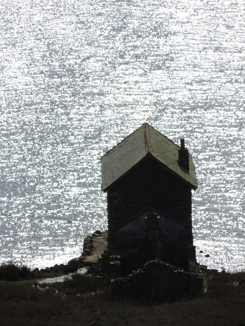
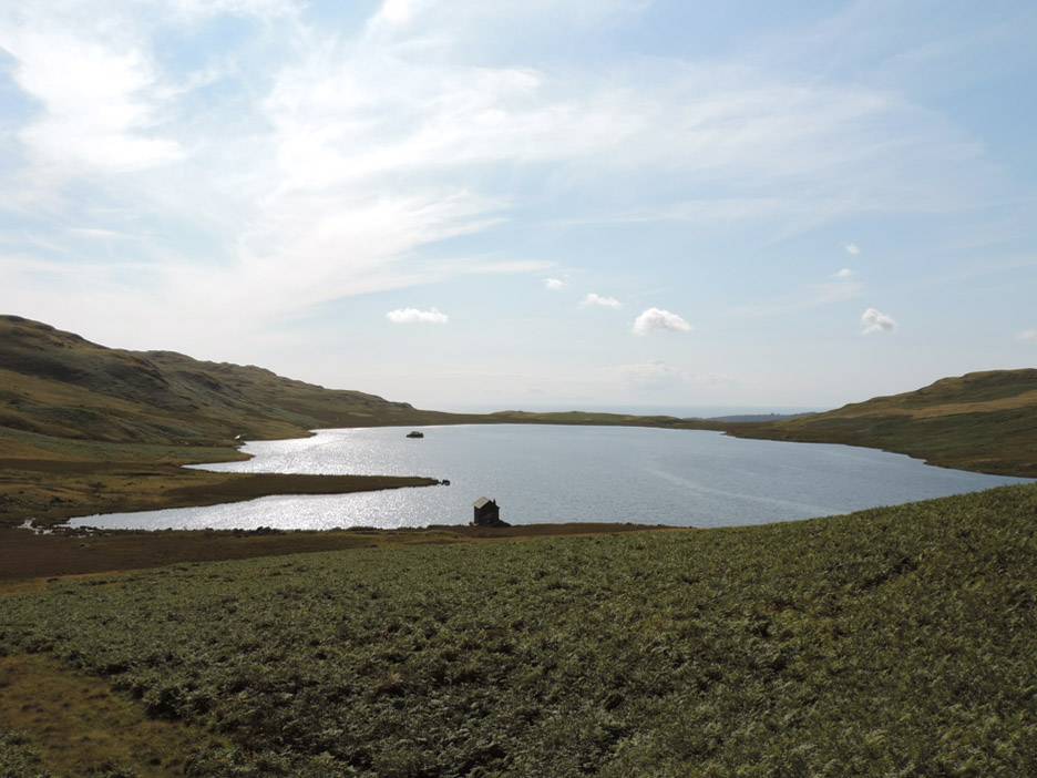
Slowly ascending Rough Crag across the moorland grass you pass a couple of large boulders, probably glacial erratics, which encourage you to stop and look at the view. Harry and Dylan clamber up onto the rock . . . and I grab a photo with the Devoke Water boathouse behind, in view for the first time today.
Ann's viewpoint . . . more boulder . . . more blue skies.
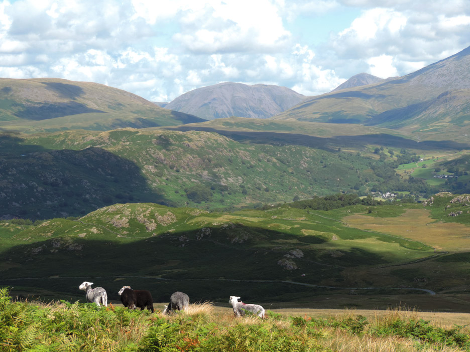
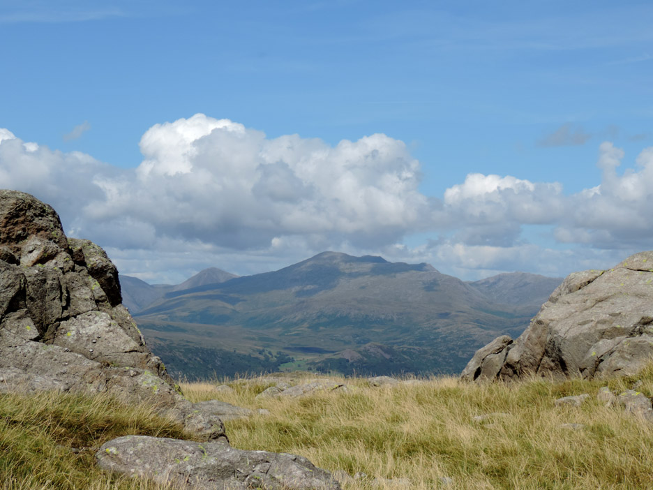
As we climb towards the first summit we get improving views to the north. We're looking over Eskdale at the distant rounded features of Kirk Fell and Great Gable.
Taking the wider view . . . Kirkfell, Gable, Scafell, Slight Side, Esk Pike and the pointed summit of mighty Bowfell.
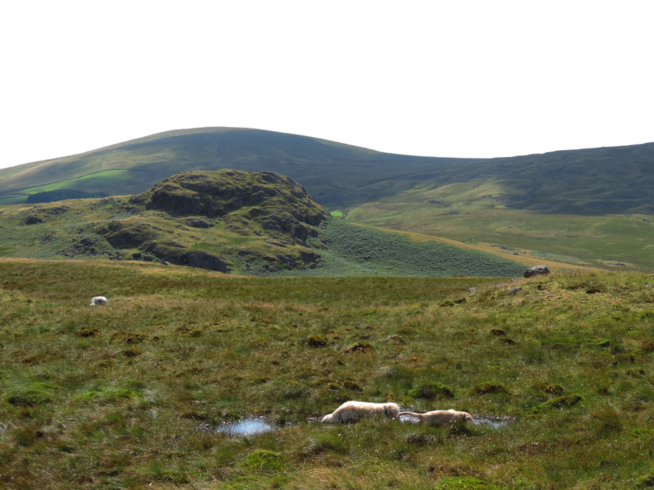
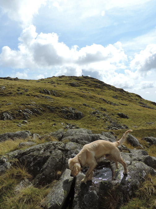
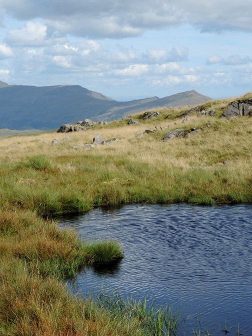
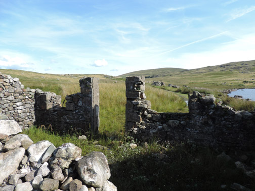
The crag in the background is Seat How that we would include on our return leg, but on the moorland in front of us is a wet, muddy, slightly peaty pool of water . . . four dogs lengths long.
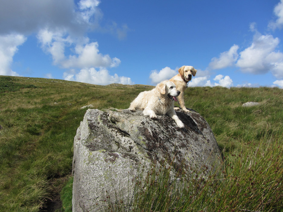
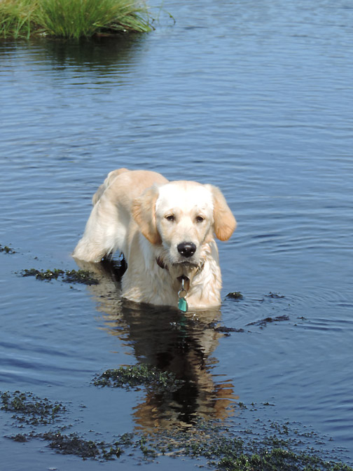
Another erratic boulder and this was Bethan on the rock in 2009.
Today two rather muddy dogs grace the same rock. The views are more summer greens than the winter yellows when (Harry and) Bethan walked here on that previous occasion.
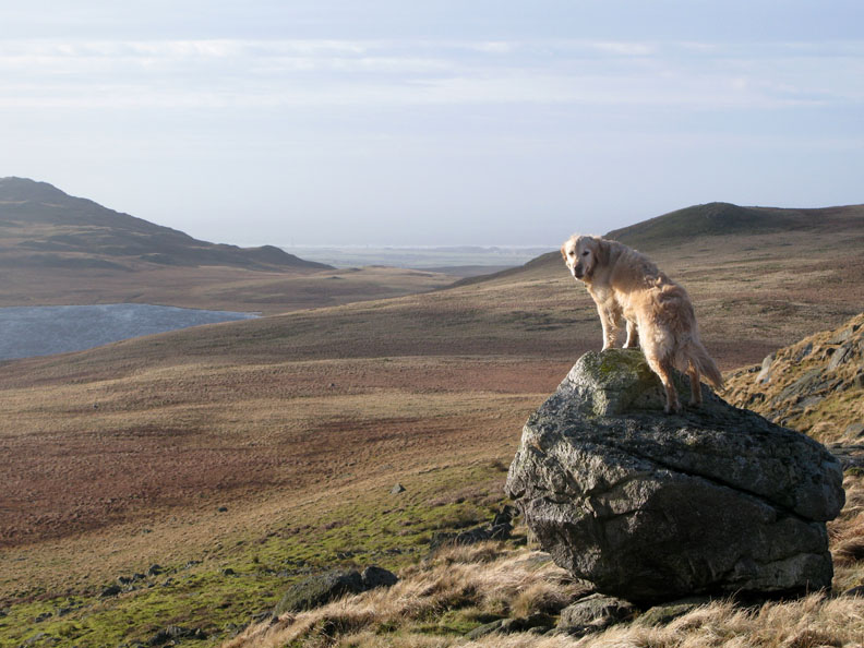
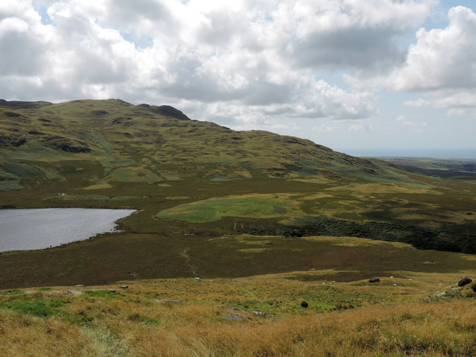
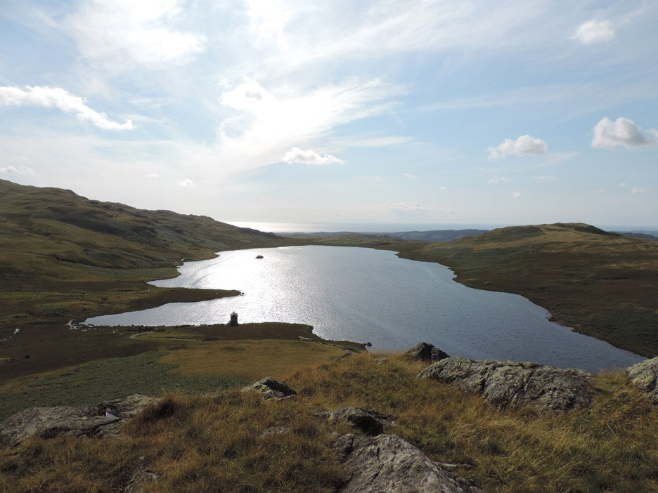
The summit of Rough Crag, first top of the day. We're looking west to Muncaster Fell and the coast.
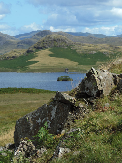
All through the walk our eyes will be drawn to the boathouse on Devoke Water. Zooming in from Rough Crag it seems that someone else's camera eye is drawn there too.
Too early for lunch and so we walk on towards the next summit of Water Crag.
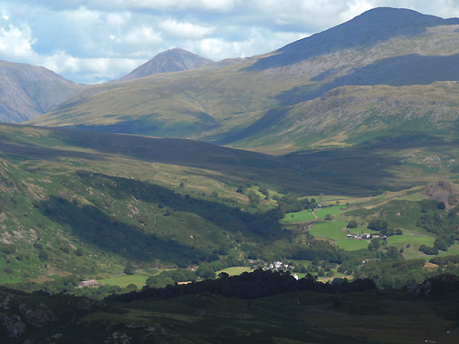
Behind us, we can look back at Scafell, the second highest peak of England with its slopes dappled with sunshine and shade from the passing clouds.
On the way across the moorland the map marks a group of "cairns". To me they look like old grouse shooting butts but the map suggests they could be a lot older.
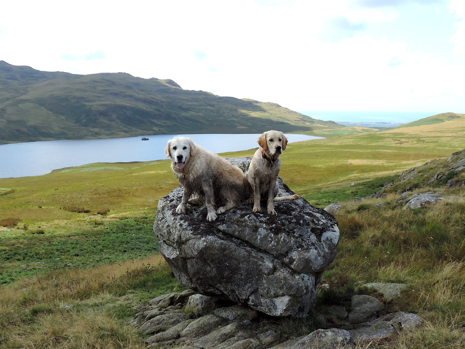
The Coniston Fells form a backdrop to this summit photo from Water Crag. The 'cairns' I passed are hidden in the yellow grass to the right of the path.
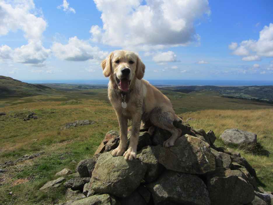
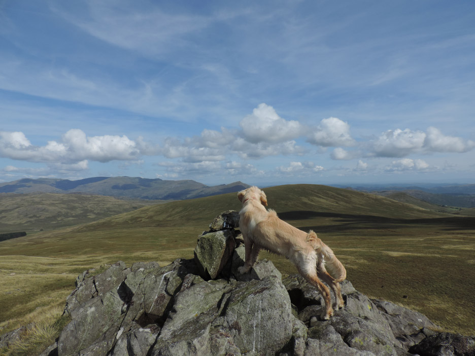
Dylan takes his turn at posing for a summit photo. Hold your cursor over the picture and right-click to save a copy if you want . . . providing he doesn't look away of course !
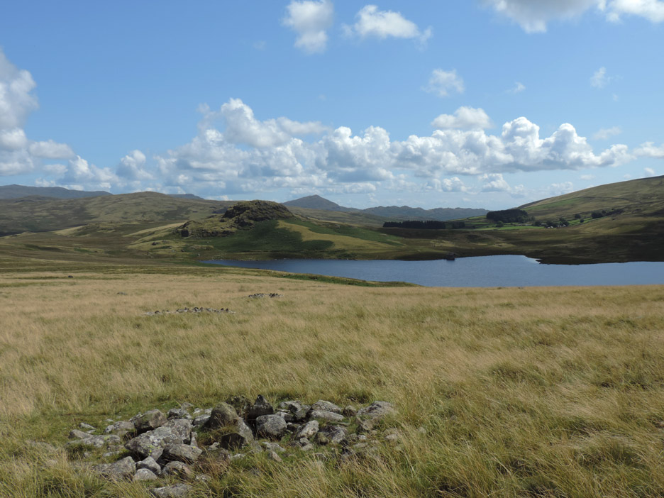
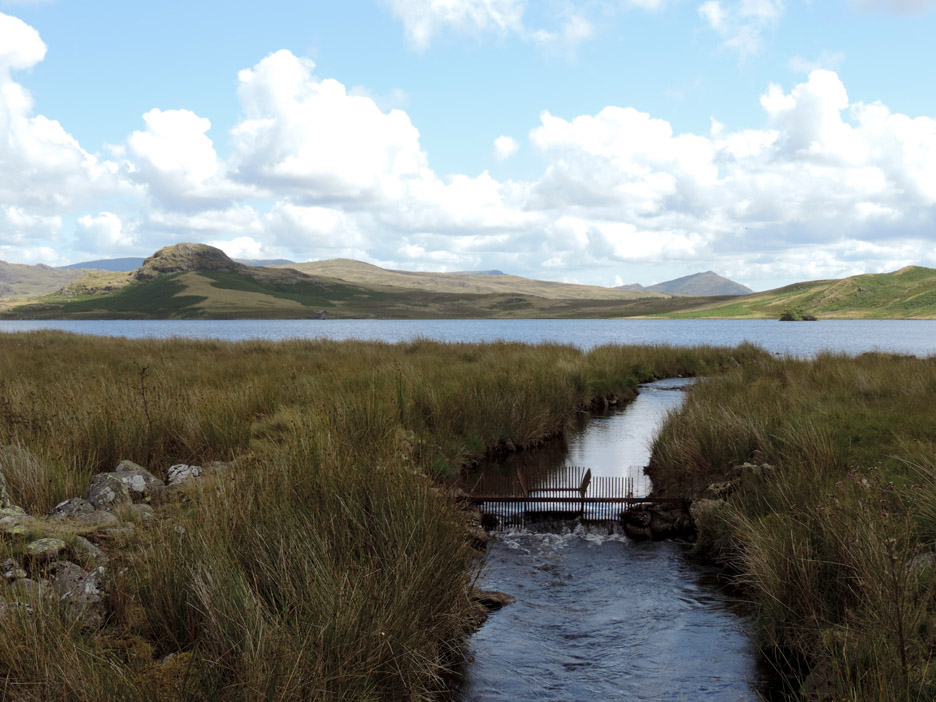
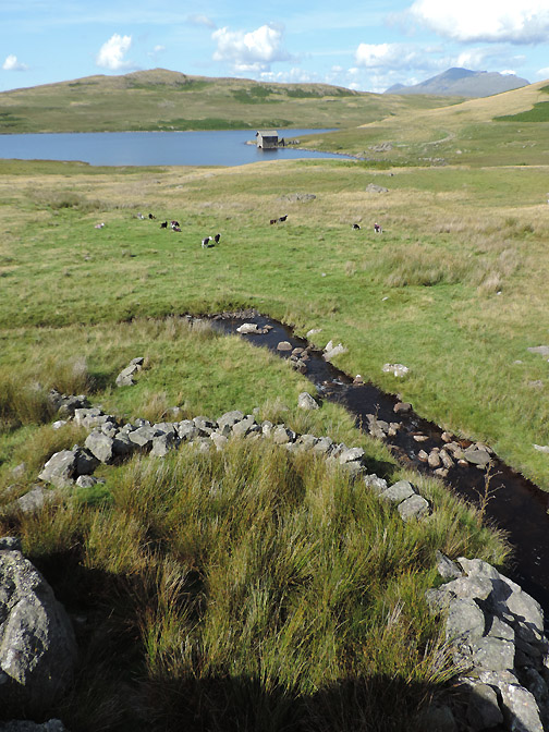
Two down, four to go . . . as we head down to the stream crossing at the outflow of the lake.
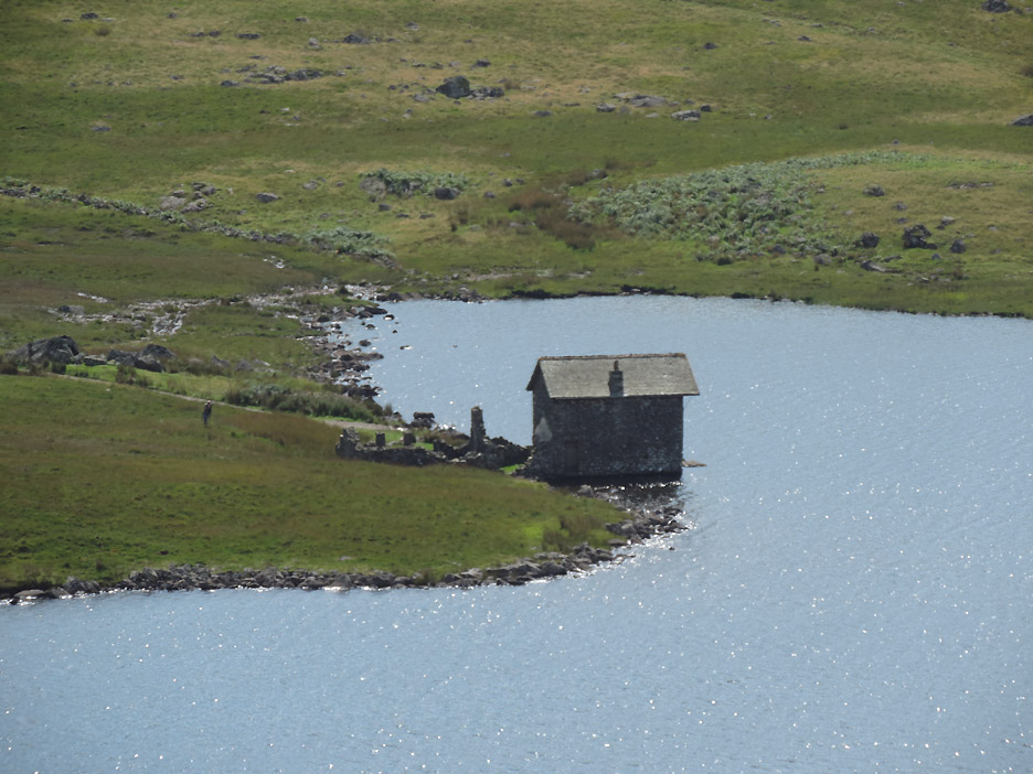
A small fish trap keeps the stocked fish within the lake. How many it stops escaping and how many would swim up to the lake if it wasn't there is open to speculation.
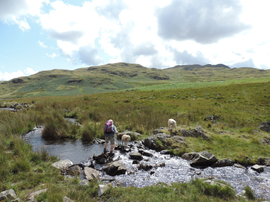
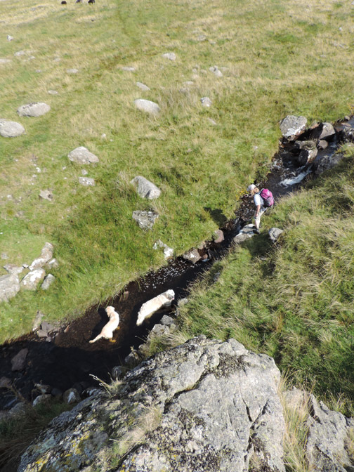
There are several point to cross the stream . . . but this one will do nicely . . . out of the way Dylan !
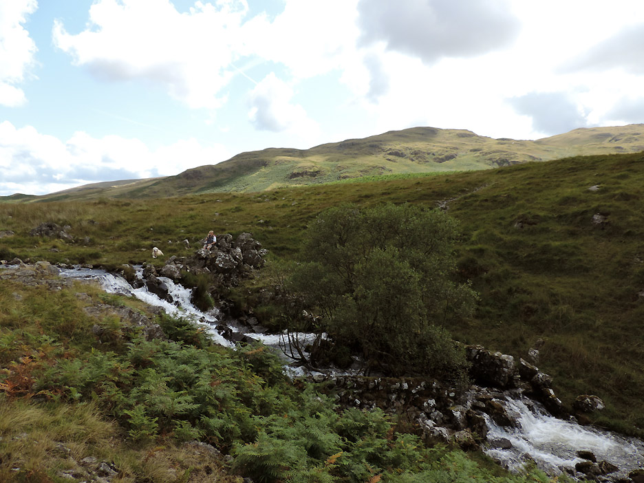
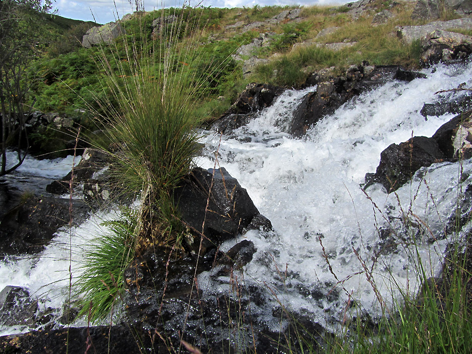
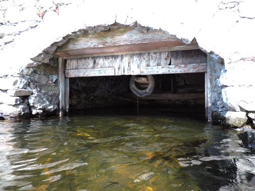
Ann sits at the head of the small waterfall as I take a stroll down this side of the stream in order to photograph the unusual walled area through which the water flows.
Catching the light . . . Ann is closer to the falls than I.
More cairns on the map including this major one on the Eskdale to Dyke Bridleway that we cross on the way to White Pike ahead.
There's no real path up here as everyone seems to have chosen their own route up the fellside. I know we have taken a different route from last time, that's for certain . . . not that it makes a lot of difference in this terrain.
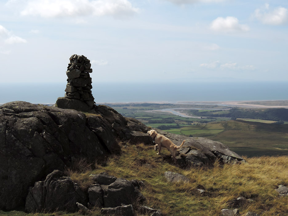
White Pike summit cairn . . . overlooking the Ravenglass Estuary. For some reason Dylan started barking at the cairn . . . a big scary monster on the open fell !
This big scary monster was to be our kindly companion as we indulged in a very welcome lunch box full of sandwiches. We hate climbing on a full stomach, but as the majority of the climbing was done and it was gone 2pm . . . well it seemed like a good idea.
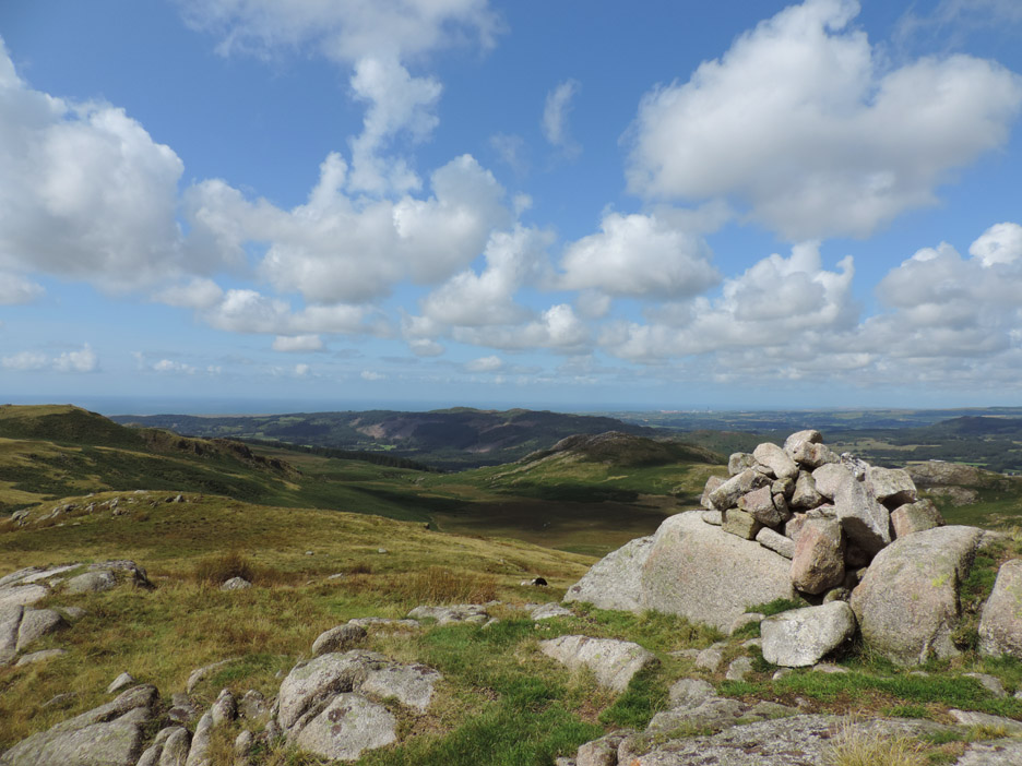
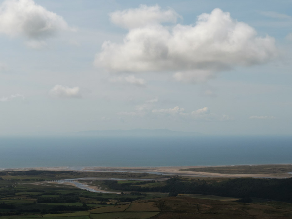
Lunchtime views west to Ravenglass and the Isle of Man . . . away out there in the sea haze.
There was a great view from here of the whole of the western seaboard. Click here or on the photo above for a Loweswatercam annotated coastal panorama.
Time to be off . . . the sandwich box is empty and time creeps onward. Can't stay here all day even though we are getting a nice suntan !
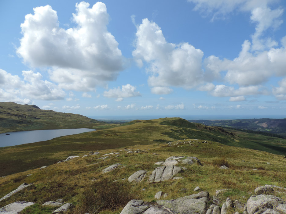
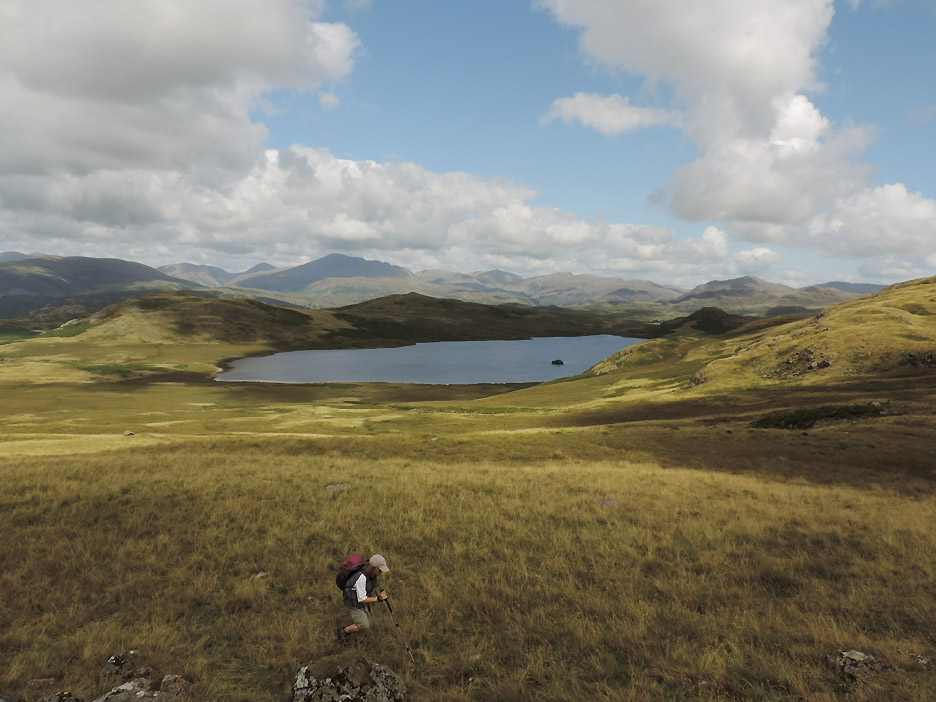
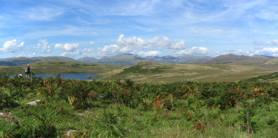
Today's visibility is excellent, particularly looking inland. The lakeland fells appear through gaps in the rocks as we cross toward Yoadcastle summit.
Did I mention the boathouse ?
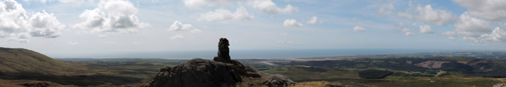
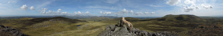
Yoadcastle fell summit cairn and the highest point of our walk today.
A great place for a circular look around at the view. Click here or on the photo above for a Loweswatercam 360 degree annotated panorama.
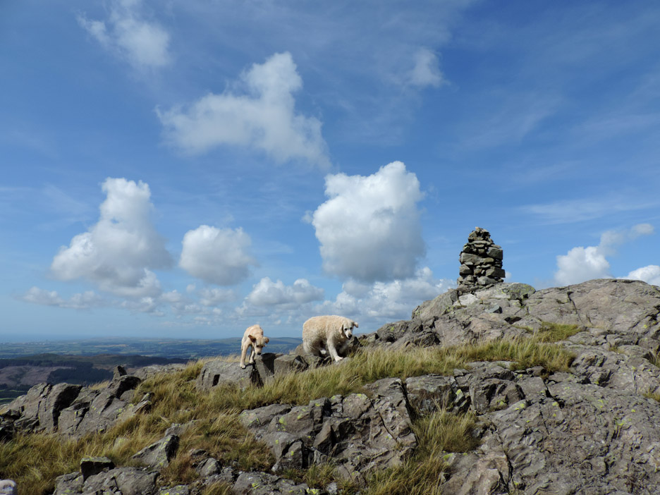
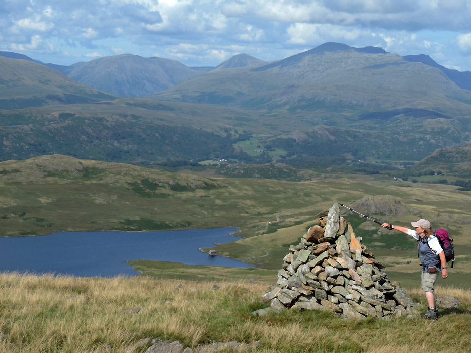
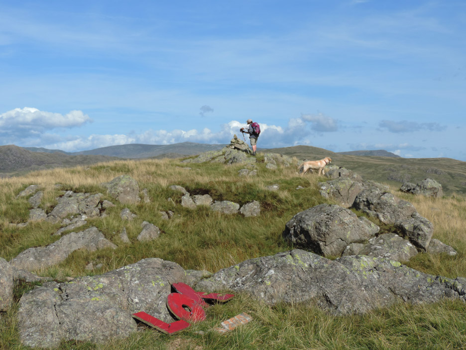
The summit cairn of Woodend Heights being anointed by Ann. The cairn is not actually on the top itself but is on the highest point of the fells as viewed from below . . . a frequent trick with secondary cairns.
We are not alone . . . two other walkers are in view . . . even though it takes full zoom on the camera to see them. Not exactly crowded for a summer day.
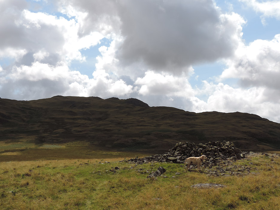
Time to be heading down . . . no paths again . . . just follow your head. The vegetation varies depending on the soil and water content . . . yellow - dry grass, greens and browns - various states of bog, very green - must be the bracken on dry ground again.
There are several rock outcrops on the way down and I climb this one to enjoy the slightly elevated view.
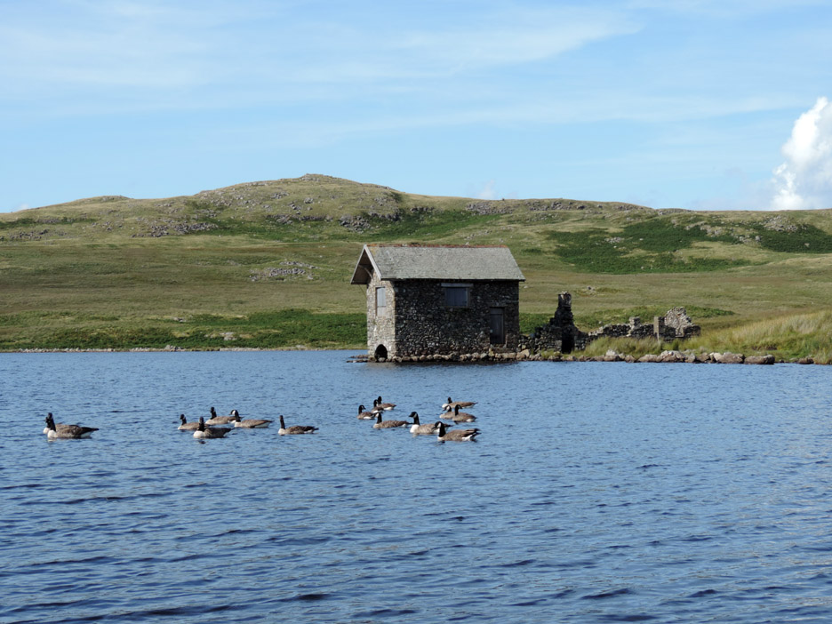
A flotilla of Canada Geese grace the lake and make an added extra for this waterside photo.
Joseph Stable (1742-1789) was the lake warden and boathouse key keeper in 1780 to 1790 when the boathouse was fully in use. The ruined back section was presumably a stable block and worker's sleeping area.
Time to be heading off for one last summit of the day.
Onward and upward for the last time today.
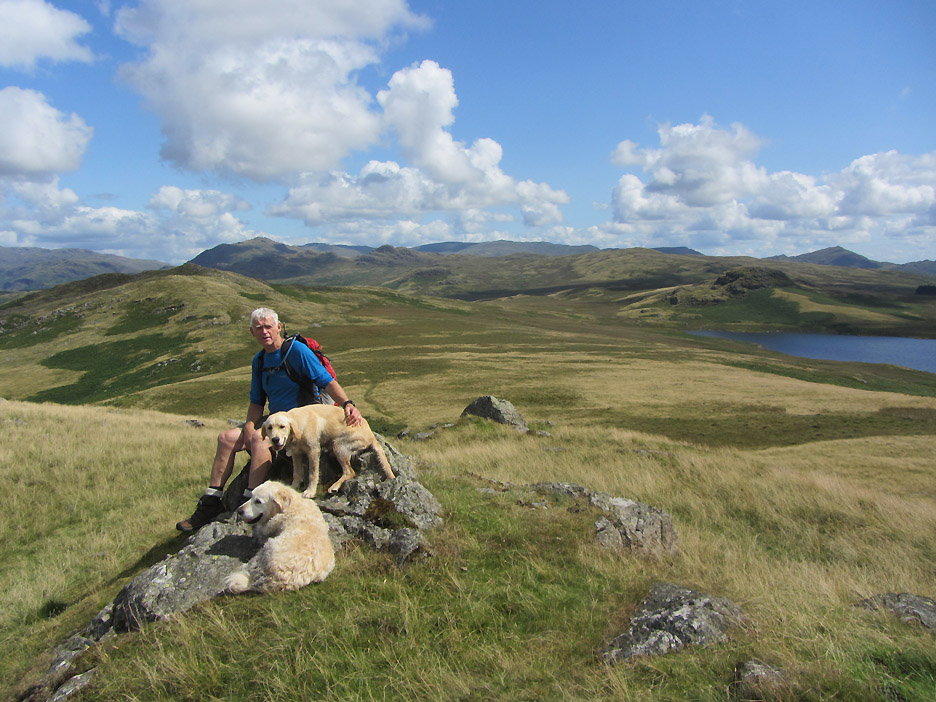
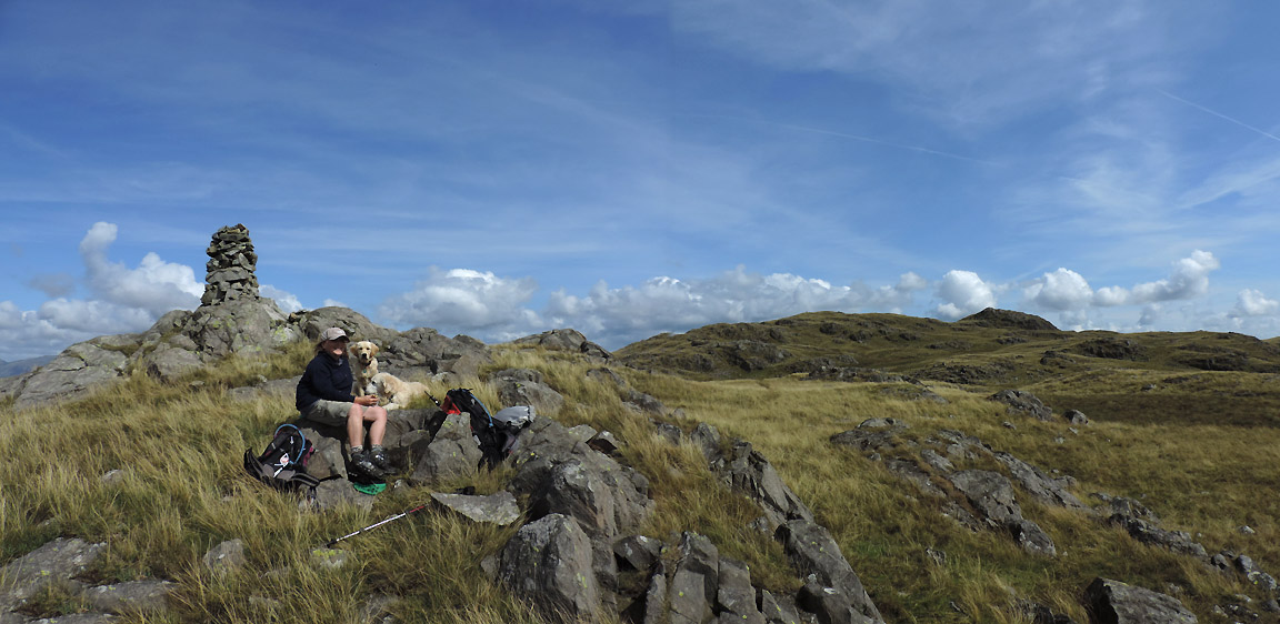
The summit of Seat How . . . approached from the back as it happens. A short stroll across the top allows this wider view of the lake once more.
Ann pays her respects to the sixth top of the day.
From the top we doubled back slightly, making a three quarter circumference of the rock outcrop. Last time we took the direct line and ended up in the bog . . . once bitten twice shy . . . we're not daft.
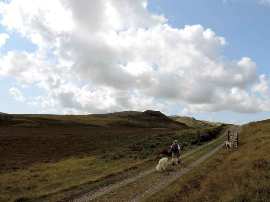
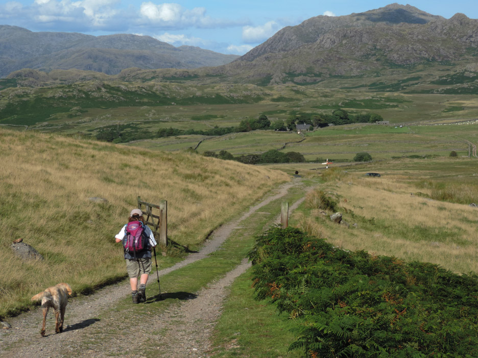
A short walk down the track took us back to our outward path and onward towards the end of a lovely day. The car is down there next to the finger post at the end of the track. - - - o o o - - -
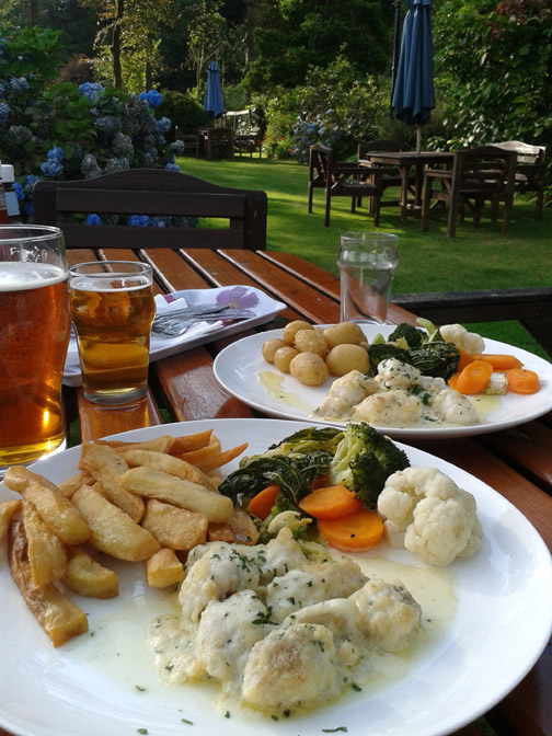
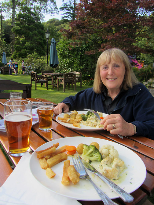
. . . made for us . . . and no washing up to do either ! - - - o o o - - - |
Technical note: Pictures taken with either Ann's Canon Sureshot SX220, or my Nikon P520 digital camera. Resized in Photoshop, and built up on a Dreamweaver web builder. This site best viewed with . . . a warm breeze to match the sunshine. Go to Top . . . © RmH . . . Email me here Previous walk - 4th August 2014 - A Short Stroll up Gasgale Gill A previous time up here - 14th July 2011 Devoke Water and Rowan Tree Falls Next walk - 9th August 2014 - Sale Fell and Lothwaite
|