![]()

Remember: Press F11 for a full
screen view of this page.
|
|
|
Remember: Press F11 for a full
screen view of this page. |
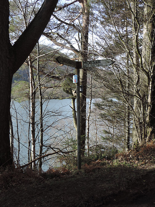
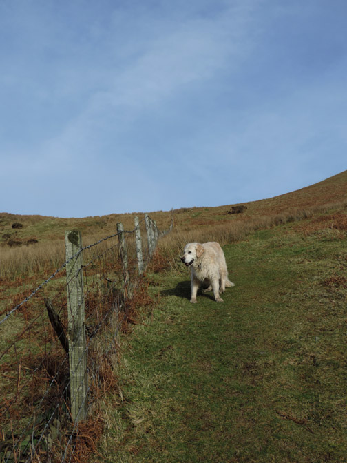
| " A Sunny Darling Fell Walk " Date & start time: Monday 10th February 2014, midday start. Location of Start : The Mosser Road signpost, Loweswater , Cumbria, Uk ( NY 128 218 ) Places visited : The Mosser Road, Darling Fell, back via the old quarry. Walk details : 2.1 mls, ft of ascent, 1 hours 30 mins. Highest point : Darling Fell 1270 ft - 391m. Walked with : Ann and our dog, Harry. Weather : Delightfully sunny and hardly any breeze. |
" A Sunny Darling Fell Walk " at EveryTrail [ Alter the settings to zoom or change the Map, use Everytrail to download the Gps route ] |
|
Shoe-horned between a morning swim at Keswick's Calvert Trust pool and an afternoon visit to town was our short but very pleasant dog walk, which including a summit this time . . . and a sunny one at that !
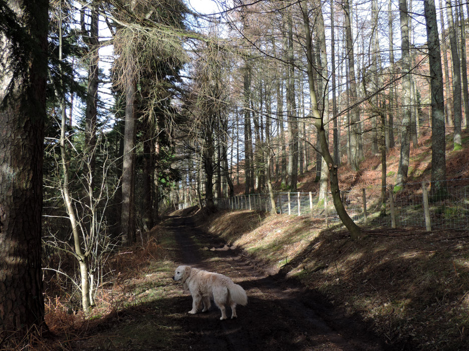
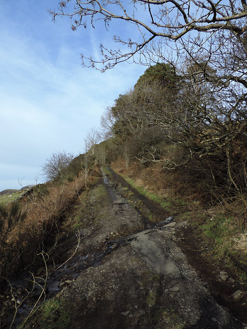
The track sets off across the face of Darling Fell through an area of mixed woodland.
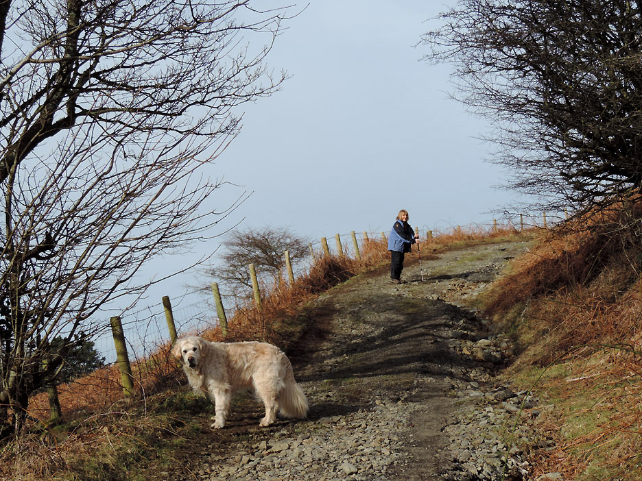
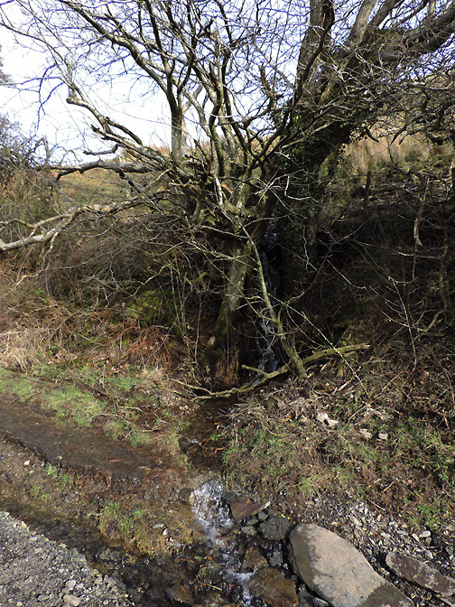
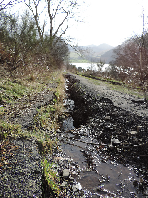
Out of the woods and the track becomes steeper. This part of the road is definitely unfit for cars due to damage as a result of a culvert blockage further up !
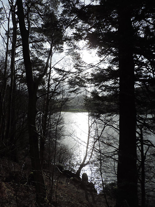
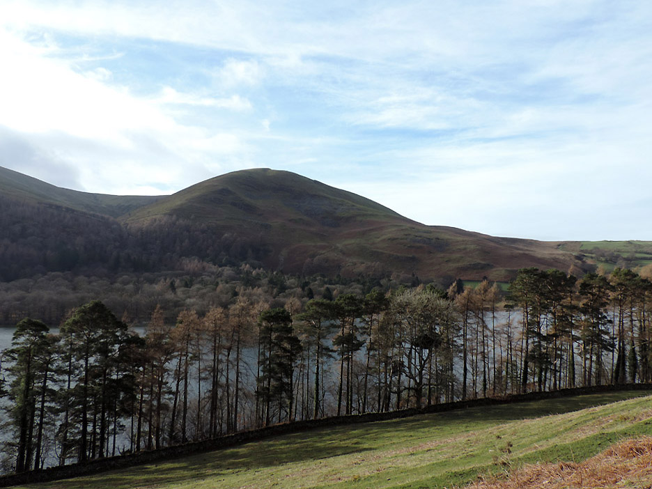
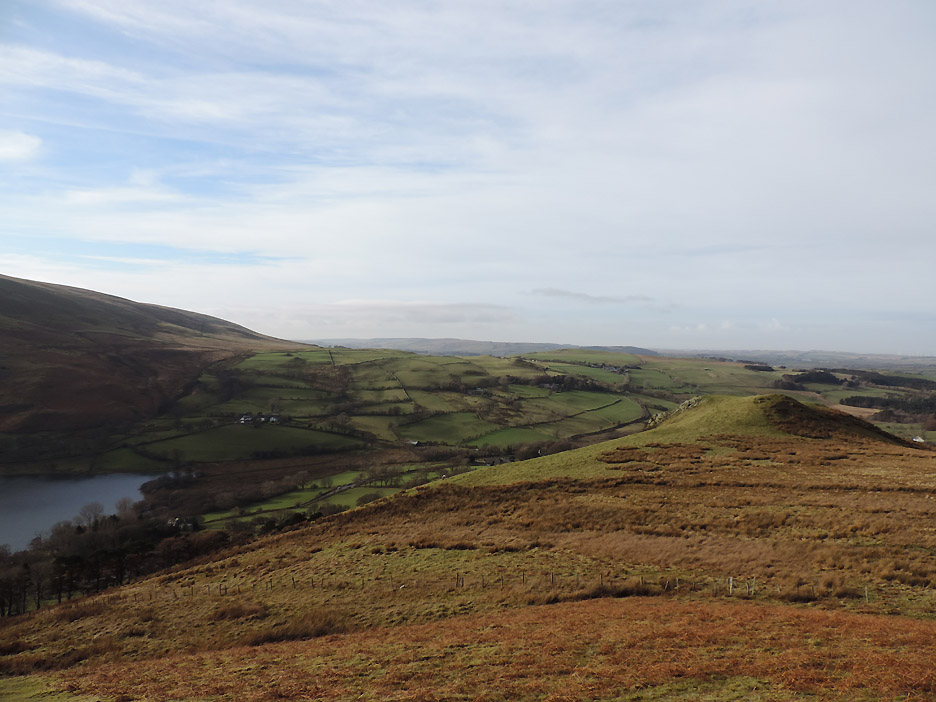
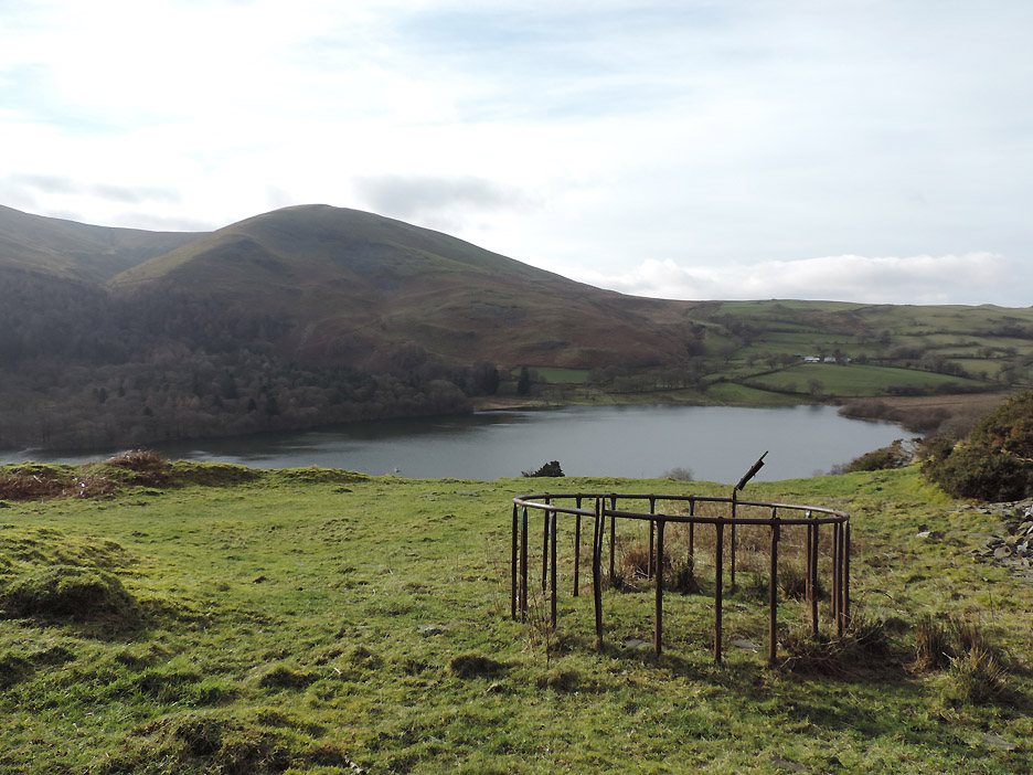
The view across to Burnbank on the other side of Loweswater.
A lovely Scots Pine in the grounds of Loweswater Hall.
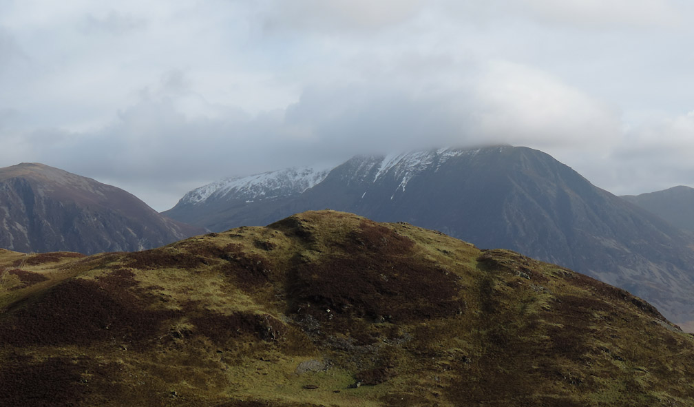
The view back into the sun . . . there's a covering of snow on the high fells from Red Pike upward. Mellbreak, Starling Dodd and Hen Comb are clear.
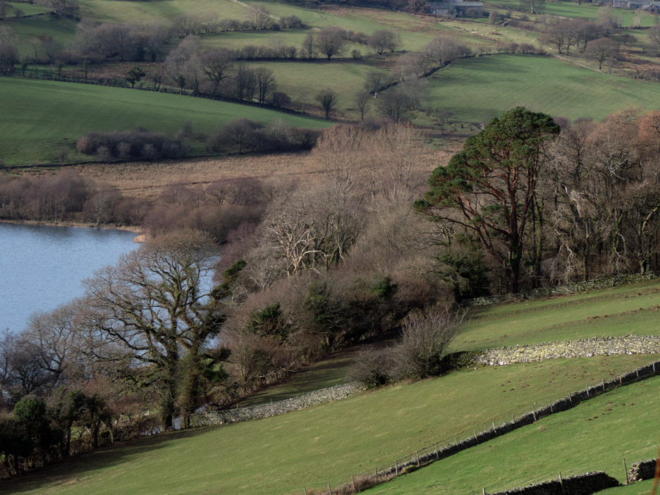
Using a photo stop as an excuse, we pause for breath part way up. Here we're looking down on Askill Knott and out towards the Solway.
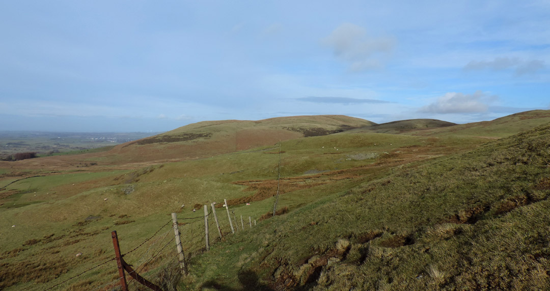
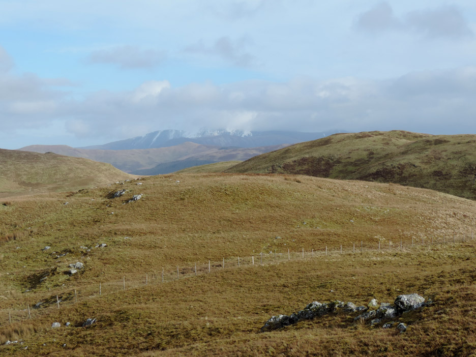
As the fence turns and leaves us there's a clear view over to Fellbarrow.
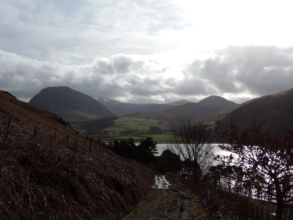
A reasonable view of the high fells today but there's a little cloudiness to take the edge off the clarity.
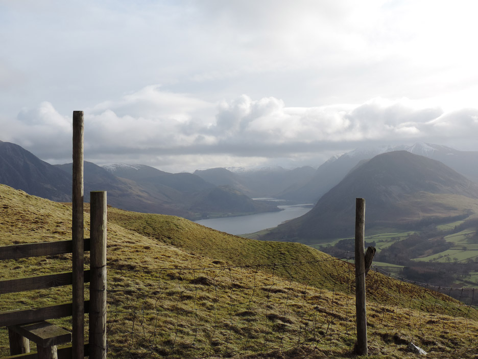
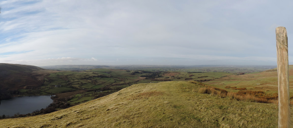
Looking back from the fence . . . a wider view of the Solway Firth.
Looking north east along the back of Darling Fell. In the middle distance is the summit of Low Fell and there's snow on Skiddaw beyond sun-bathed Lords Seat.
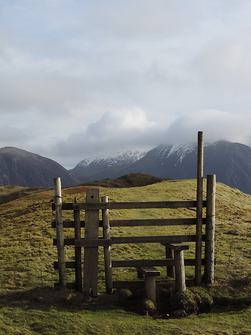
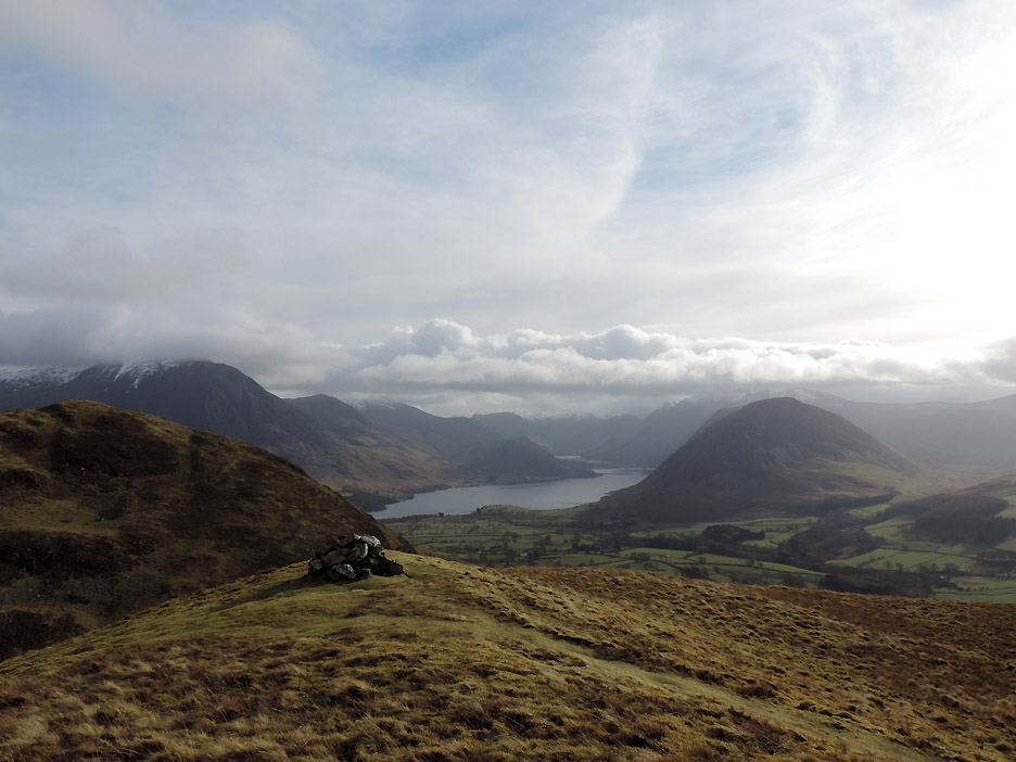
The only cairn on Darling Fell is here at the viewpoint not on the actual summit which was near the fence and stile we passed earlier.
Zooming in on the southern top of Low Fell, with Whiteside and Grasmoor behind.
Looking round . . . the shadowy bulk of Mellbreak and the snow covered peaks of the High Stile Ridge.
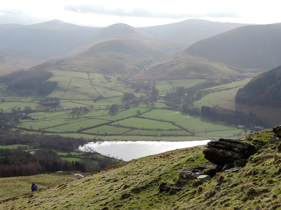
" What goes up must come down " Looking across to High Nook Farm, Hen Comb and the White Oak Valley between, as we start our descent.
One of several old quarry workings that are scattered on this side of the fell.
Almost as old . . . this slightly decrepit hay feeder sits unused on the level grass in one of the other quarries.
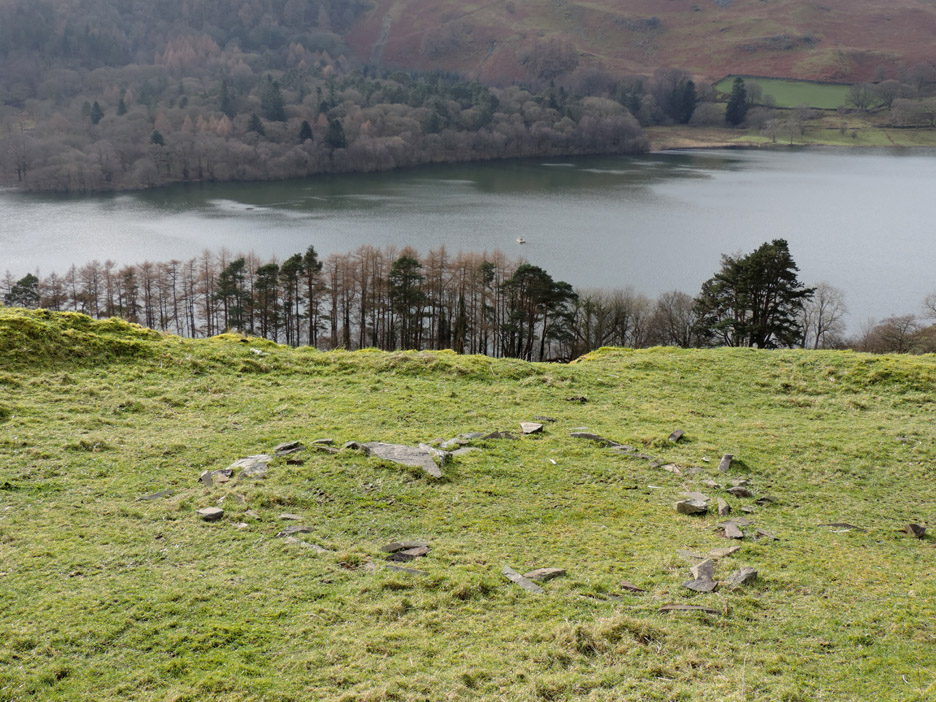
The heart from last year's Valentine's Day has survived though the grass has grown up around it over the last twelve months. Let's hope the feelings that caused it to be built have survived as well.
Back down on the Mosser Road now and nearly back . . . the track being slightly muddy due to the new fence being built. - - - o o o - - - POST SCRIPT: Whilst these last few sets of pictures have been sunny and dry, this cannot be said of many parts of the UK who are suffering with record rainfall, high winds and flooding. Our hearts go out to them. We've had a share too but fortunately I think the Lakes have got away lightly, with lower winds and less rainfall than other areas. A few rainy pictures to follow from our next walks may indicate that not everything has been blue skies and sunlight recently. - - - o o o - - - |
Technical note: Pictures taken with either Ann's Canon Sureshot SX220, or my Nikon P520 digital camera. Resized in Photoshop, and built up on a Dreamweaver web builder. This site best viewed with . . . Go to Top . . . © RmH . . . Email me here Previous walk - 9th February 2014 - Knock Murton Sunshine A previous time up here - 10th June 2013 - The Willsher's Darling Fell Next walk - 13th February 2014 - Crummock and The Challet
|