![]()

Remember: Press F11 for a full
screen view of this page.
|
|
|
Remember: Press F11 for a full
screen view of this page. |
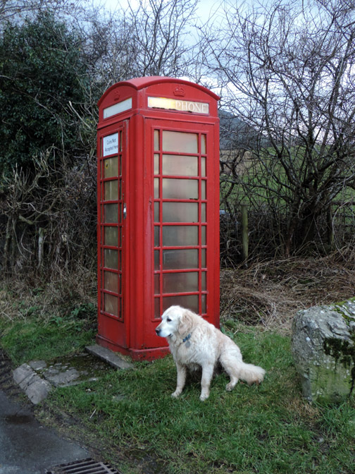
| " Mellbreak Pinnacles View " Date & start time: Wednesday 29th January 2014, 2.30 pm start. Location of Start : The red phone box, Loweswater , Cumbria, Uk ( NY 143 211 ) Places visited : Mellbreak North top, the Pinnacles and back via Mosedale. Walk details : 4 mls, 1460 ft of ascent, 2 hours. Highest point : Mellbreak North Top, 1654 ft ~ 509m Walked with : Harry and myself. Weather : Bright to start but not so cheerful on the summit. |
" Mellbreak Pinnacles View " at EveryTrail [ Alter the settings to zoom or change the Map, use Everytrail to download the Gps route ] |
|
Morning work done and the weather is looking brighter. Harry needs a walk so we stay local but extend the walk slightly to ring the changes. Hopefully there will be a new picture or two on this favourite walk of mine.
Morning glory . . . of sorts. The weather is very wintery at the head of the valley but at least it is dry for a change.
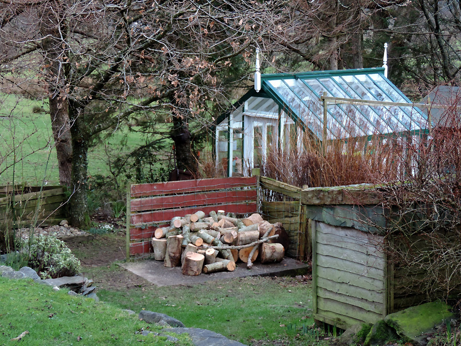
The mornings efforts have resulted in a restored log pile. The woodshed on this side has been looking empty recently but should be nearly full again soon once that lot is chopped up.
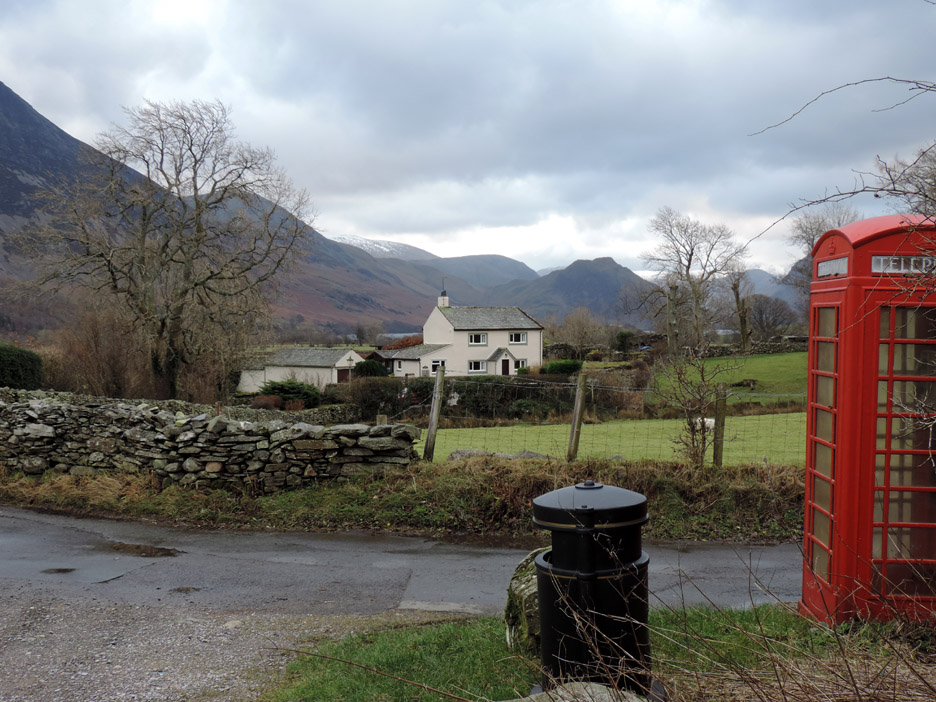
After lunch there was time for a walk . . . starting at the red phone box ! The weather has held and if anything is slightly brighter . . . no need for a big waterproof jacket.
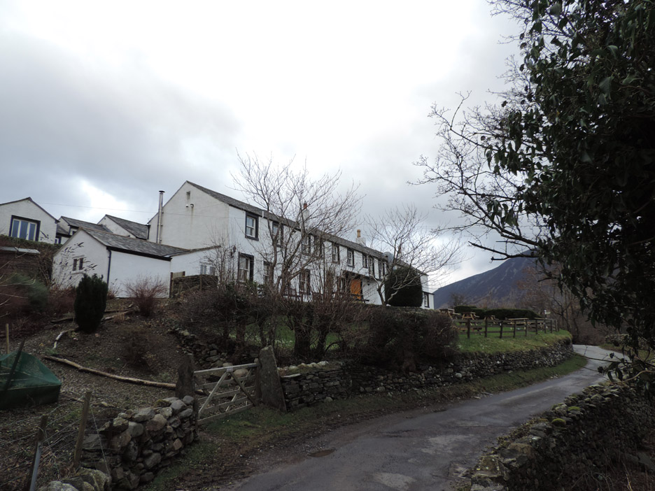
The Kirkstile Inn. The beer garden is empty but the car park is reasonably full so the customers must all be inside enjoying the warm fire.
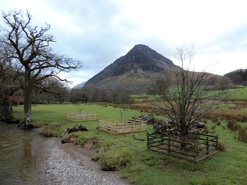
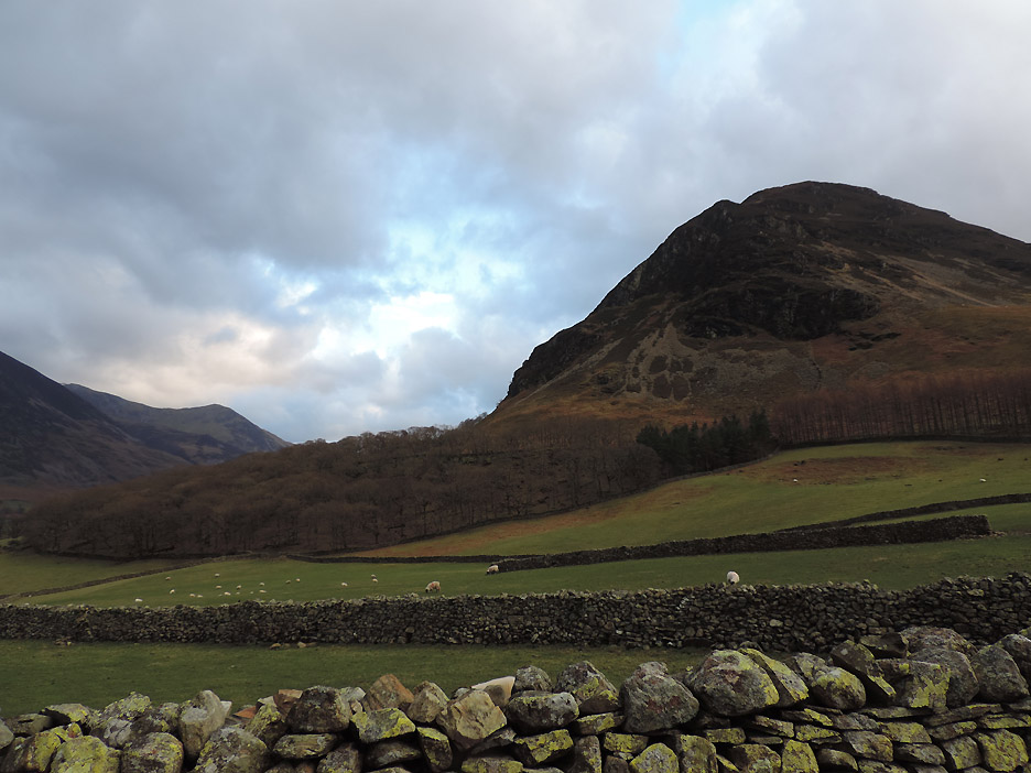
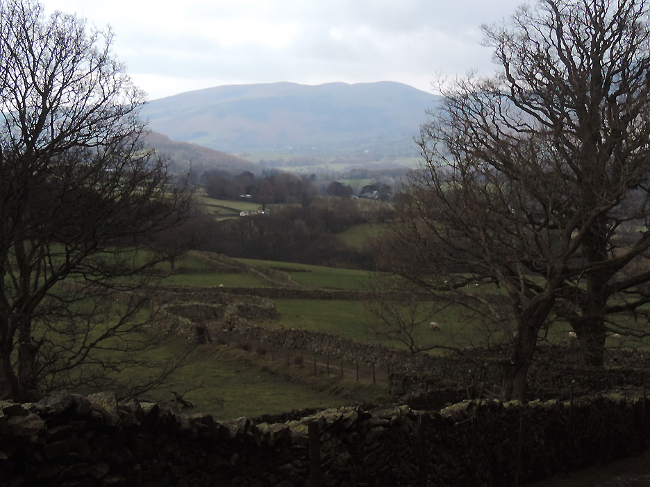
Crossing over Church Bridge with a view of Mellbreak across the meadow. Two new trees were planted last year to replace the one that blew over a few years back.
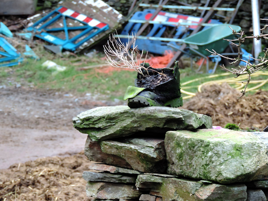
An old Kirkhead Farm boot in retirement . . . the summer flowers from last year reflect the current state of the seasons.
I took this photo to celebrate the sudden appearance of blue sky !
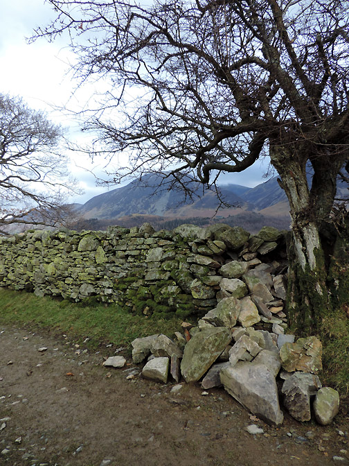
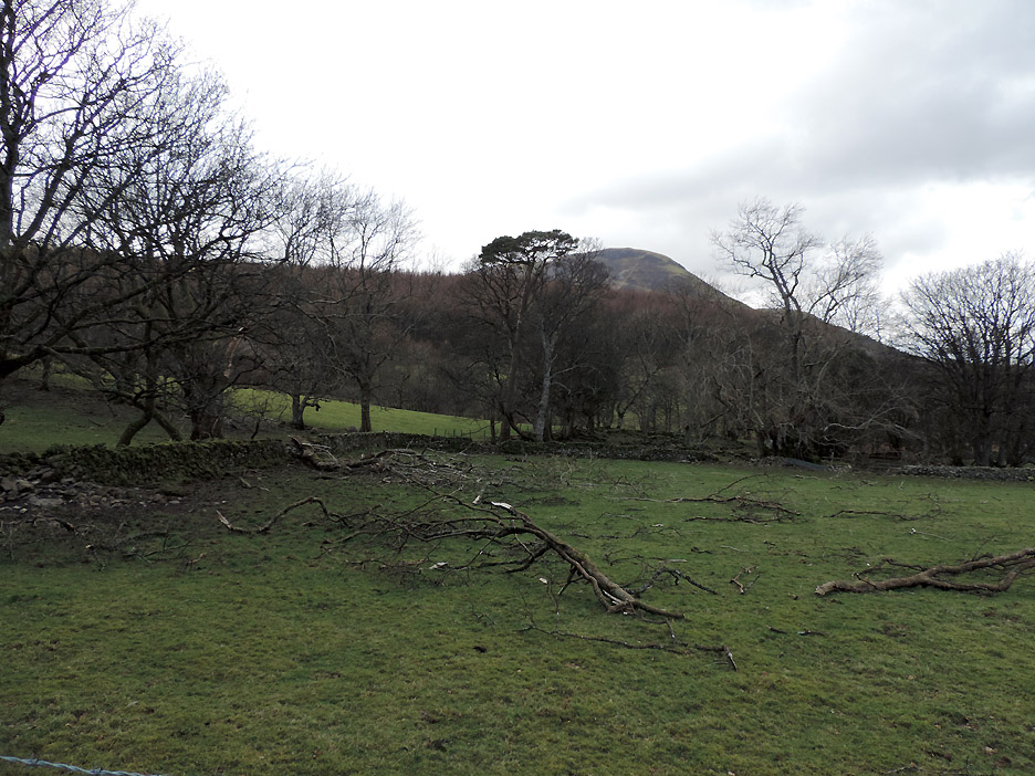
Winter winds have caused quite a bit of damage to the old trees at the old Bargate Farm field.
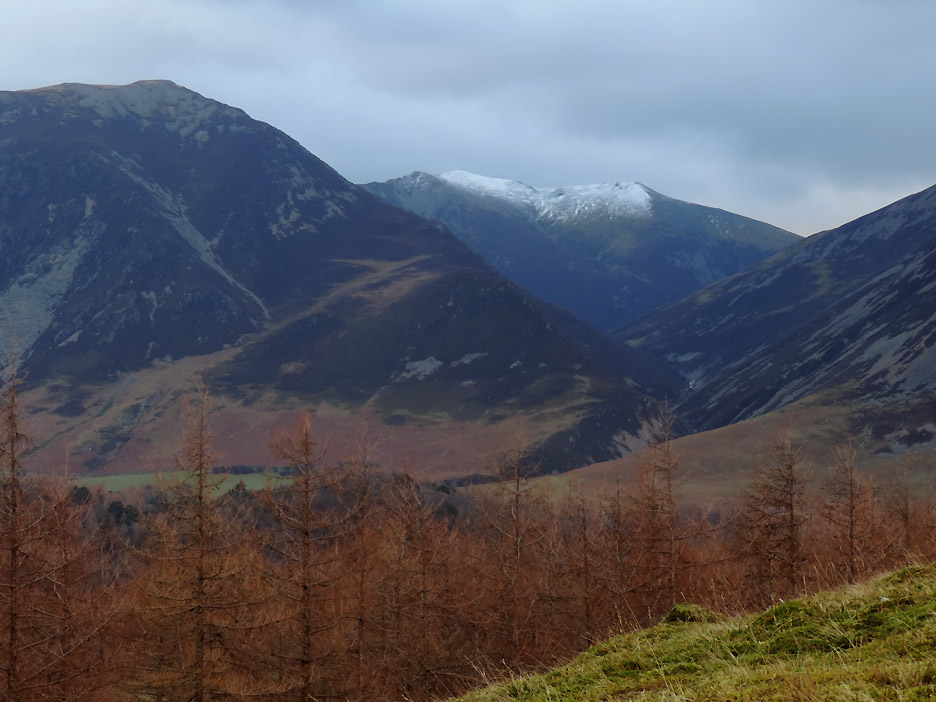
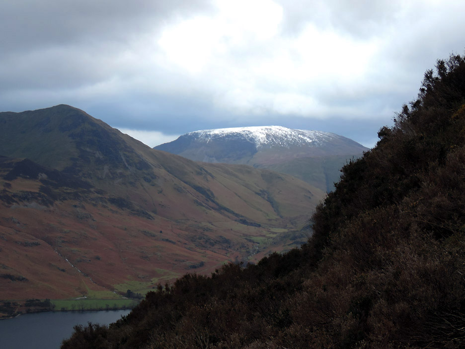
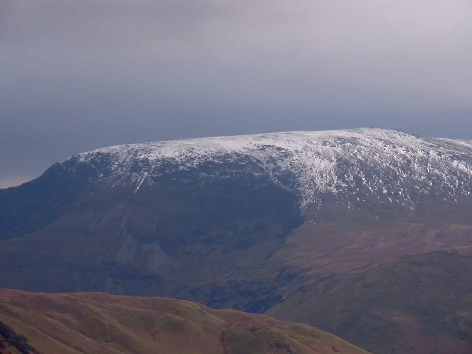
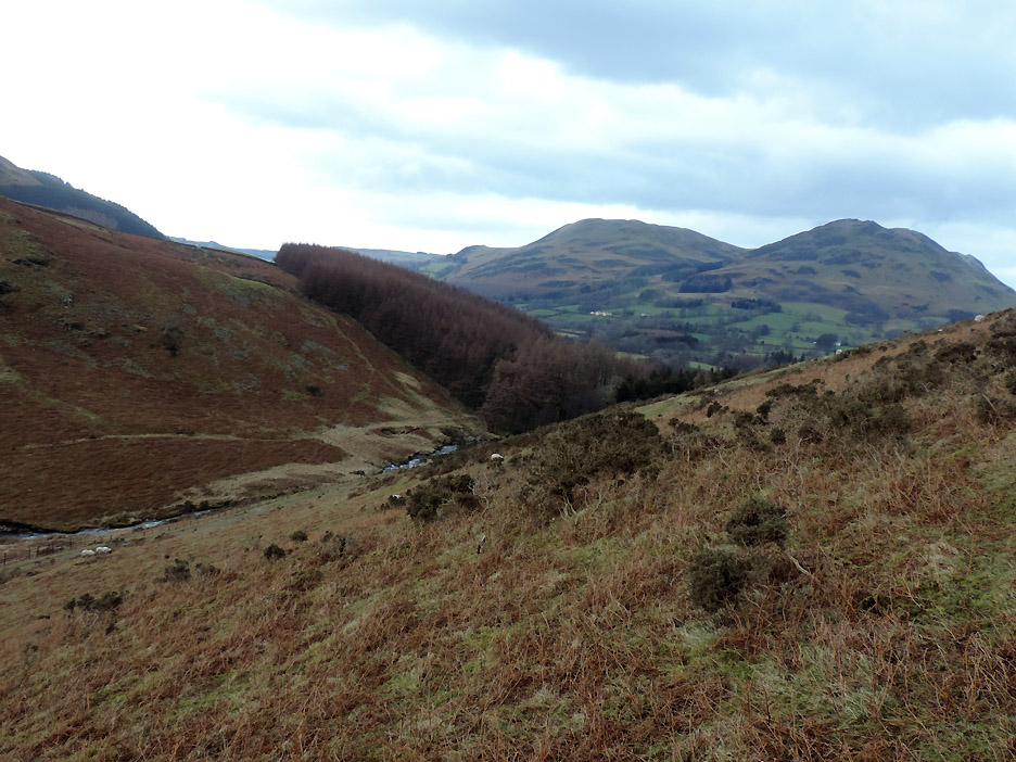
Starting up Mellbreak . . . looking over the brown larch trees at the snow that has coloured the summits of Hopegill Head and Sand Hill to the right.
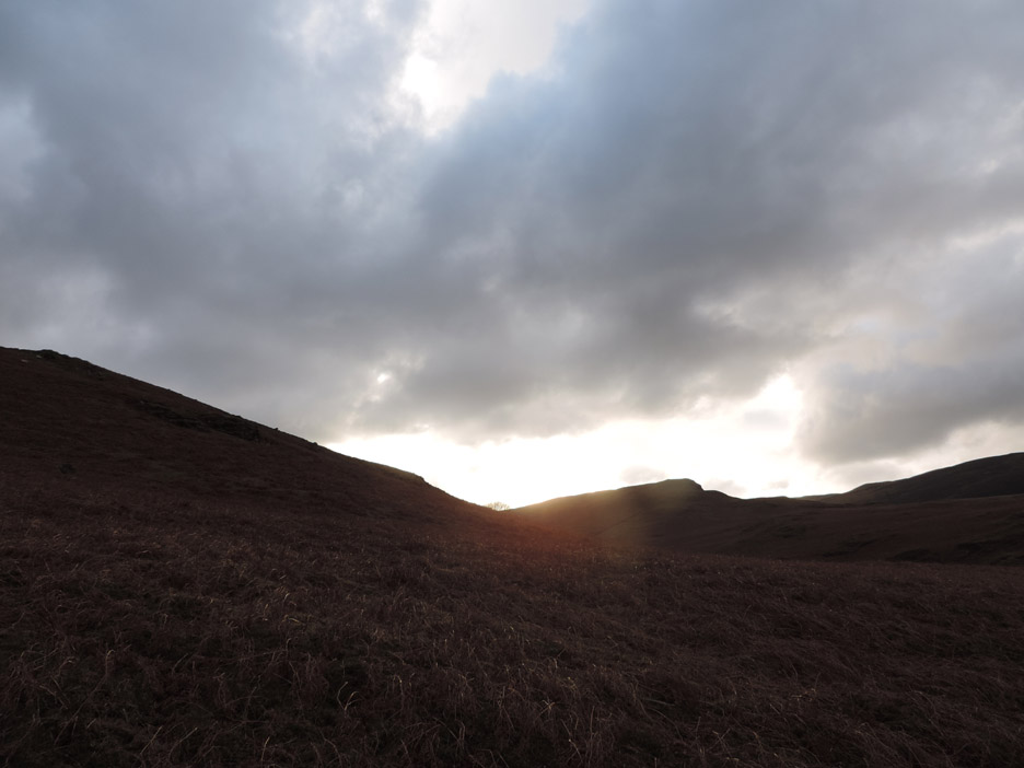
Hey . . . there's a funny yellow light in the sky !
Definitely brightening as I climb steadily up the northern end of the fell.
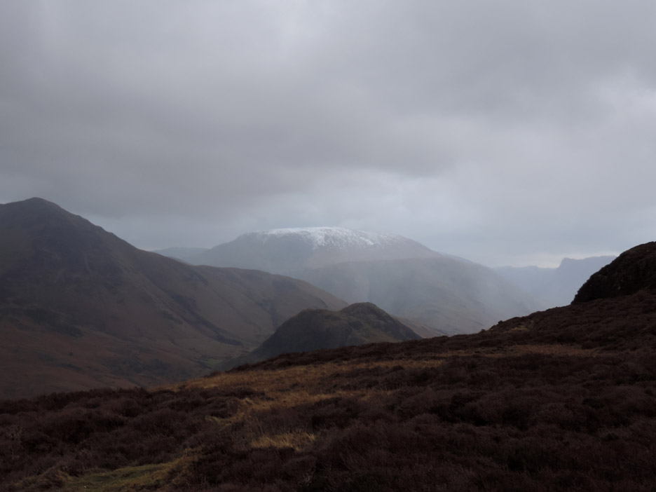
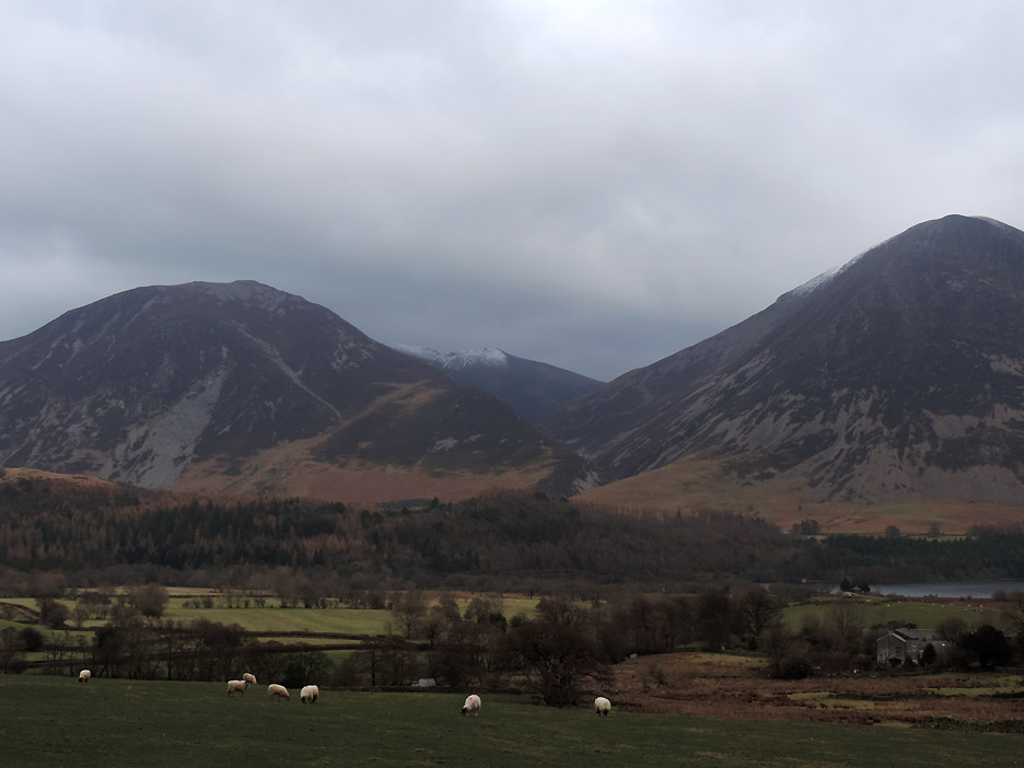
Snow covers Robinson summit too.
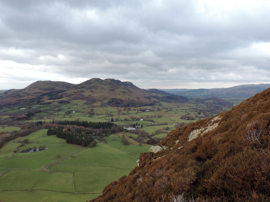
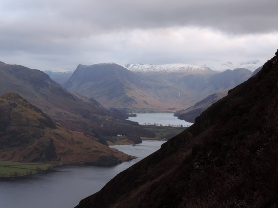
" A peep around the corner " . . . as I reach a slightly more level bluff two thirds of the way up. Here are two of our lakes . . . Buttermere and Crummock Water.
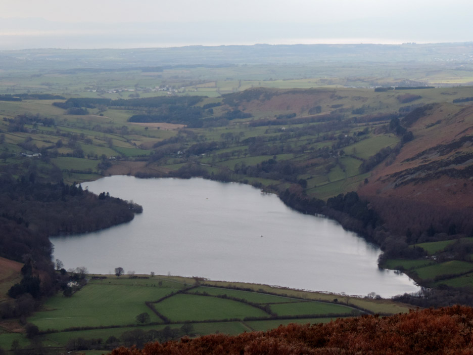
The third lake of the valley is Loweswater . . . which I view looking north from the summit.
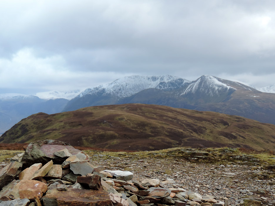
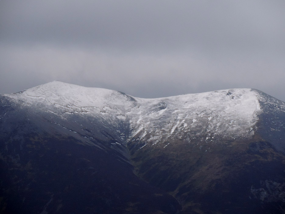
Snowy High Stile and Red Pike from one of the two northern cairns.
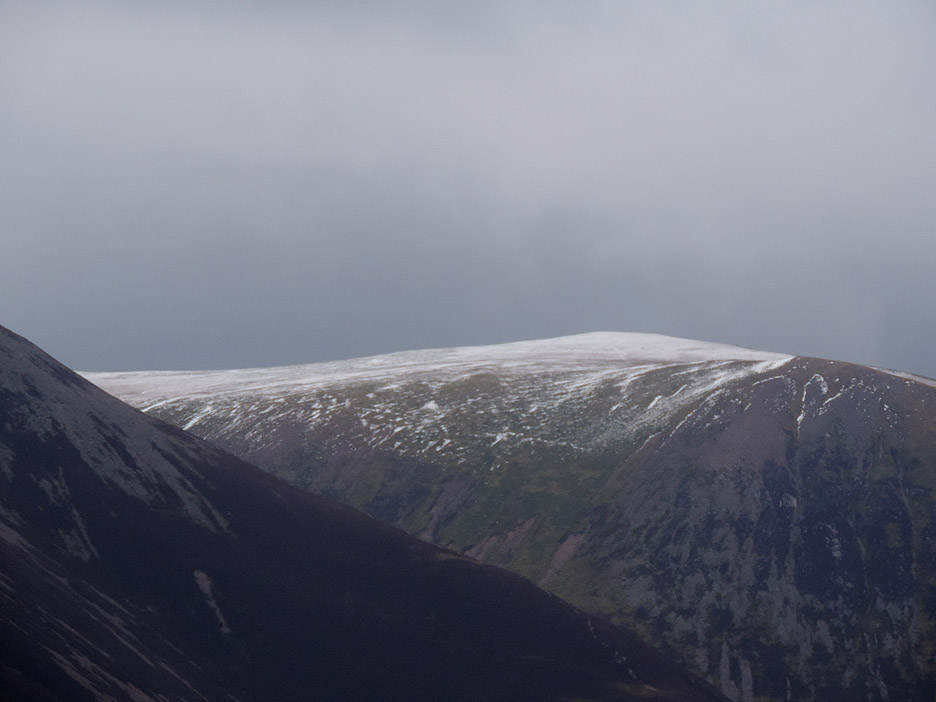
Looking round with the aid of the zoom lens . . . Robinson again. The valley in front is the Newlands Pass from Buttermere over to Newlands and Keswick.
Zooming left, there's a covering of snow on Wandope too.
The summit of Hopegill Head looks a cold place today. I've got hat, gloves and scarf on as well as a good fleece and windproof . . . and it is six hundred feet higher than this top.
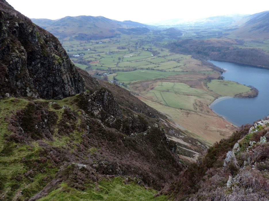
For a change I divert over to the eastern edge to get a view down over the Mellbreak Pinnacles. There is a Wainwright route from here to the lake but it is not the most enjoyable due to the scree and tricky vegetation lower down.
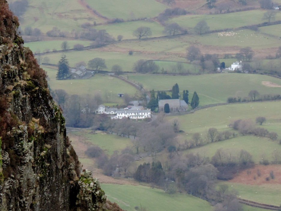
. . . but it did give me an unusual view of the Village Hall, the Kirkstile Inn and the Church, seen across the face of Dropping Crag.
Seen over my shoulder, an approaching rain shower . . . that's not playing the game !
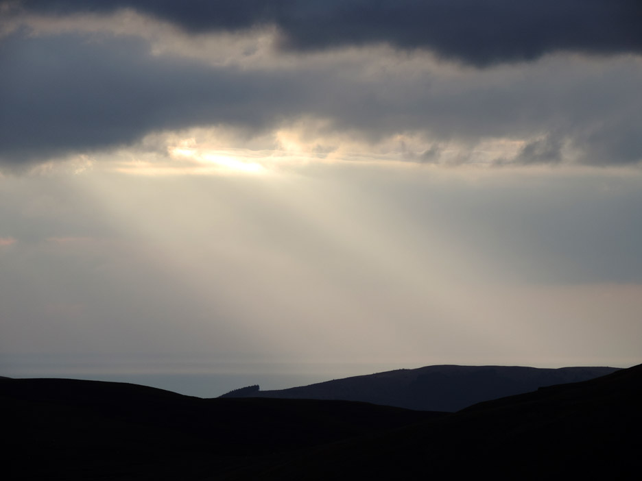
Ahead, as I crossed over the shoulder of Mellbreak, there was a lovely display of sunbeams falling onto Dent Fell on the west side of the Lakes.
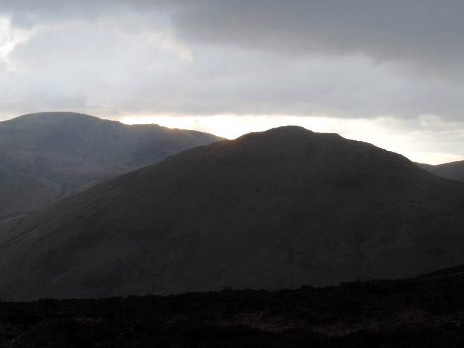
The cloud cover has increased and the sun moved behind Hen Comb as I reach the other side.
Someone near the coast is probably getting a reasonable sunset.
Harry and I take the traversing path down the western side of the fell. There's the gentle pitter-patter of rain on my windproof . . . and the lens by the look of it !
Luck is with us as the shower came to nothing and here on the sheltered side of the fell it is really quite reasonable.
Down below us was one of the locals . . . hold your cursor over the picture to have a chat. " Turned out nice after all "
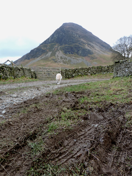
With the bracken reduced to withered sticks in the grass, I can cut down directly to the Mosedale track once completing the stoney section of the descent.
On the home straight . . . well as straight as the lane will allow.
Nearly home and dry but the afternoon is decidedly more gloomya s we approach winter sunset time.
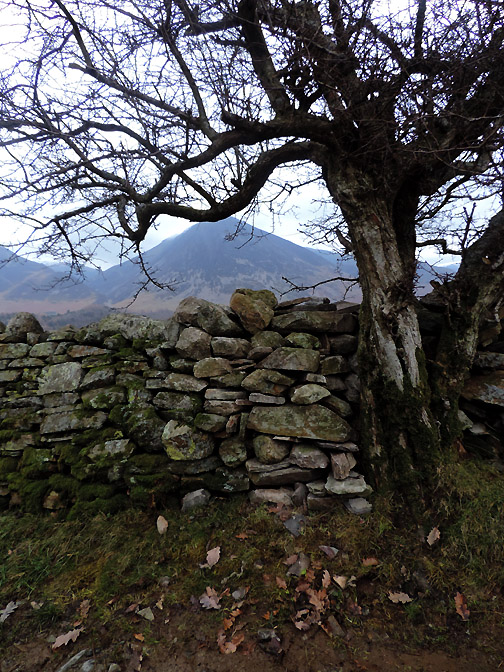
No charge for the wall repair . . . but then no guarantee offered either ! - - - o o o - - - |
Technical note: Pictures taken with my Nikon P520 digital camera. Resized in Photoshop, and built up on a Dreamweaver web builder. This site best viewed with . . . an NVQ in wall building ? Go to Top . . . © RmH . . . Email me here Previous walk - 25th January 2014 - Local and Locals A previous time up here - 10th November 2008 Mellbreak and the Pinnacles Next walk - 30th January 2014 - Sunshine on The Cockups
|